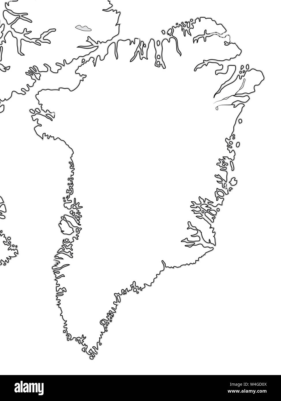
Welt Karte von Grönland: Grönland, Arktis, Atlantik. Geographische Chart mit ozeanischer Küste und Inseln.

RFID:Bild-ID:W4GD0X
Bilddetails
Bildanbieter:
MysticaLink / Alamy Stock FotoBild-ID:
W4GD0XDateigröße:
49,4 MB (703,9 KB Komprimierter Download)Freigaben (Releases):
Model - nein | Eigentum - neinBenötige ich eine Freigabe?Format:
3600 x 4800 px | 30,5 x 40,6 cm | 12 x 16 inches | 300dpiAufnahmedatum:
21. Juli 2019Ort:
Greenland