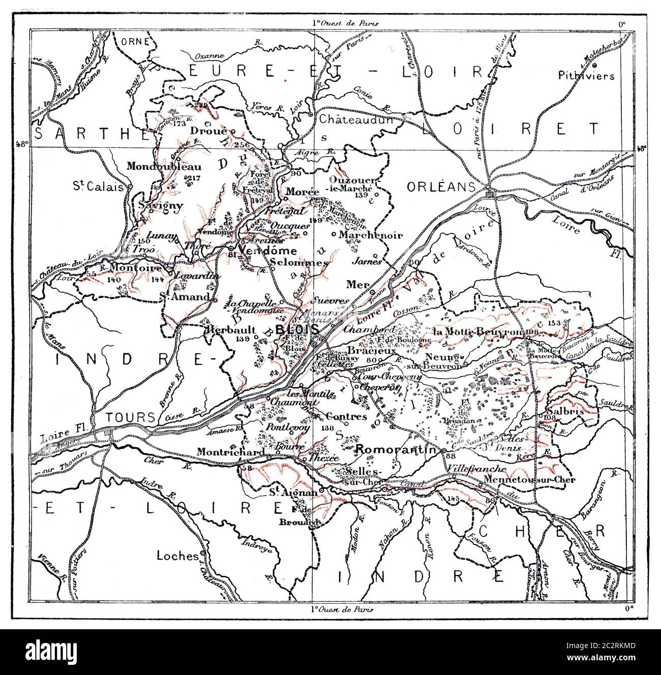
Topographische Karte des Departements Loir-et-Cher in Centre, Frankreich, Illustration mit Weinlese. Wörterbuch der Worte und Dinge - Larive und Fleury -
RFID:Bild-ID:2C2RKMD
Bilddetails
Bildanbieter:
Panther Media GmbH / Alamy Stock FotoBild-ID:
2C2RKMDDateigröße:
68,1 MB (3,4 MB Komprimierter Download)Freigaben (Releases):
Model - nein | Eigentum - neinBenötige ich eine Freigabe?Format:
5000 x 4762 px | 42,3 x 40,3 cm | 16,7 x 15,9 inches | 300dpiAufnahmedatum:
1. Mai 2012Fotograf:
Panther MediaWeitere Informationen: