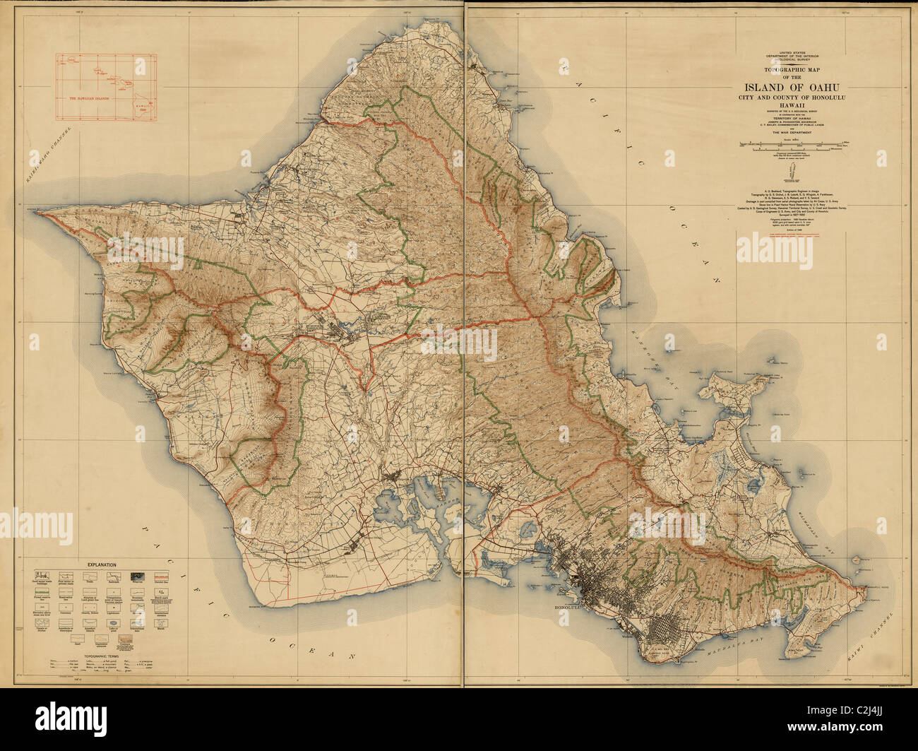
Topographische Karte der Insel von Oahu: Stadt und Grafschaft von Honolulu, Hawaii 1938
RMID:Bild-ID:C2J4JJ
Bilddetails
Bildanbieter:
The Protected Art Archive / Alamy Stock FotoBild-ID:
C2J4JJDateigröße:
352,1 MB (26,3 MB Komprimierter Download)Freigaben (Releases):
Model - nein | Eigentum - neinBenötige ich eine Freigabe?Format:
12819 x 9600 px | 108,5 x 81,3 cm | 42,7 x 32 inches | 300dpiAufnahmedatum:
1938Ort:
Washington, DCWeitere Informationen:
Dieses Bild kann kleinere Mängel aufweisen, da es sich um ein historisches Bild oder ein Reportagebild handel