Schnellfilter:
Ring of kerry Stockfotos & Bilder
 Panorama der Küste der Ring von Kerry, Irland Stockfotohttps://www.alamy.de/image-license-details/?v=1https://www.alamy.de/panorama-der-kuste-der-ring-von-kerry-irland-image369428319.html
RF2CD0WGF–Panorama der Küste der Ring von Kerry, Irland
 Irland, Munster, County Kerry, Ring of Kerry, Küste, Stockfotohttps://www.alamy.de/image-license-details/?v=1https://www.alamy.de/stockfoto-irland-munster-county-kerry-ring-of-kerry-kuste-140638109.html
RMJ4PH9H–Irland, Munster, County Kerry, Ring of Kerry, Küste,
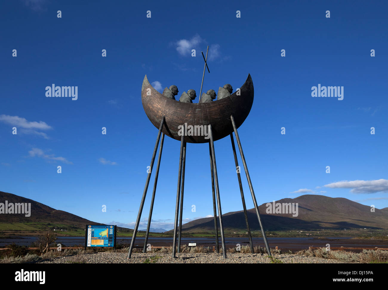 Die 1995 Bronze St. Brendan Voyage Skulptur von Eamon Doherty, in der Nähe von Cahirciveen, Ring of Kerry, County Kerry, Irland Stockfotohttps://www.alamy.de/image-license-details/?v=1https://www.alamy.de/die-1995-bronze-st-brendan-voyage-skulptur-von-eamon-doherty-in-der-nahe-von-cahirciveen-ring-of-kerry-county-kerry-irland-image62721410.html
RMDJ15PA–Die 1995 Bronze St. Brendan Voyage Skulptur von Eamon Doherty, in der Nähe von Cahirciveen, Ring of Kerry, County Kerry, Irland
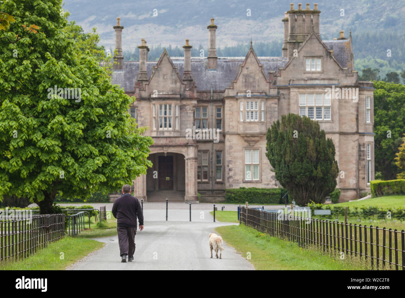 Irland, County Kerry, Ring of Kerry, Killarney, Muckross House Stockfotohttps://www.alamy.de/image-license-details/?v=1https://www.alamy.de/irland-county-kerry-ring-of-kerry-killarney-muckross-house-image259650504.html
RMW2C2T8–Irland, County Kerry, Ring of Kerry, Killarney, Muckross House
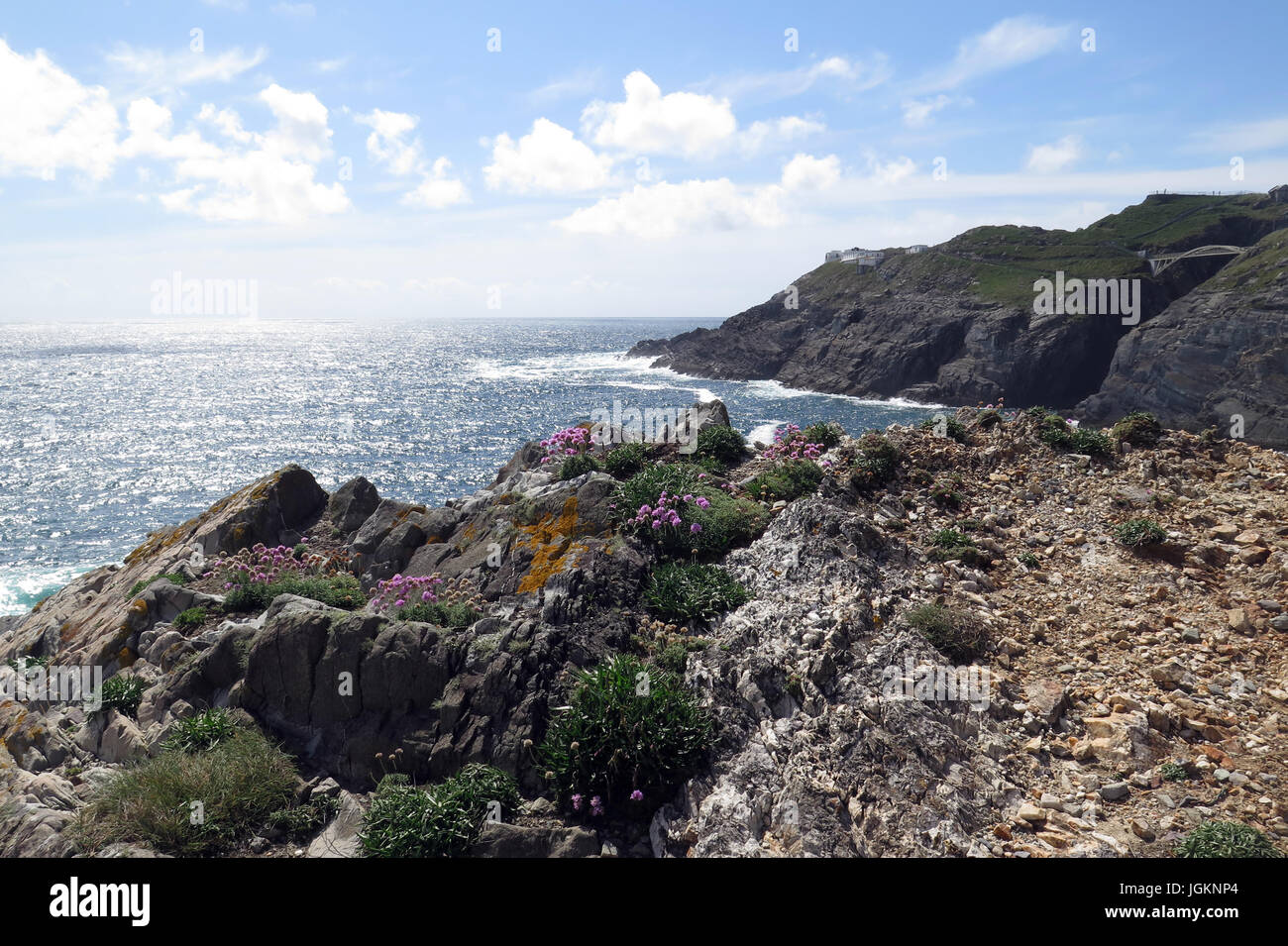 Mizen Head, Ring of Kerry, Irland, IE Stockfotohttps://www.alamy.de/image-license-details/?v=1https://www.alamy.de/stockfoto-mizen-head-ring-of-kerry-irland-ie-147951612.html
RFJGKNP4–Mizen Head, Ring of Kerry, Irland, IE
 Staigue Fort Ring of Kerry Kerry Wild Atlantic Way Stockfotohttps://www.alamy.de/image-license-details/?v=1https://www.alamy.de/stockfoto-staigue-fort-ring-of-kerry-kerry-wild-atlantic-way-23540320.html
RFBA89WM–Staigue Fort Ring of Kerry Kerry Wild Atlantic Way
 Ballycarberry Burg, in der Nähe von Cahersiveen, Ring of Kerry, Irland Stockfotohttps://www.alamy.de/image-license-details/?v=1https://www.alamy.de/stockfoto-ballycarberry-burg-in-der-nahe-von-cahersiveen-ring-of-kerry-irland-105328594.html
RMG3A3KE–Ballycarberry Burg, in der Nähe von Cahersiveen, Ring of Kerry, Irland
 Blick auf den See rund um den Ring of Kerry, Killarney National Park, Irland, Europa Stockfotohttps://www.alamy.de/image-license-details/?v=1https://www.alamy.de/blick-auf-den-see-rund-um-den-ring-of-kerry-killarney-national-park-irland-europa-image224298628.html
RFR0WK58–Blick auf den See rund um den Ring of Kerry, Killarney National Park, Irland, Europa
 Molls gap Ring of Kerry Stockfotohttps://www.alamy.de/image-license-details/?v=1https://www.alamy.de/stockfoto-molls-gap-ring-of-kerry-21269241.html
RFB6GW3N–Molls gap Ring of Kerry
 Staigue Stone Fort, Ring of Kerry, Irland Stockfotohttps://www.alamy.de/image-license-details/?v=1https://www.alamy.de/stockfoto-staigue-stone-fort-ring-of-kerry-irland-29949844.html
RMBMM998–Staigue Stone Fort, Ring of Kerry, Irland
 Derrynane Bay, Dingle-Halbinsel, Ring of Kerry, County Kerry, Irland Stockfotohttps://www.alamy.de/image-license-details/?v=1https://www.alamy.de/stockfoto-derrynane-bay-dingle-halbinsel-ring-of-kerry-county-kerry-irland-102830244.html
RMFY890M–Derrynane Bay, Dingle-Halbinsel, Ring of Kerry, County Kerry, Irland
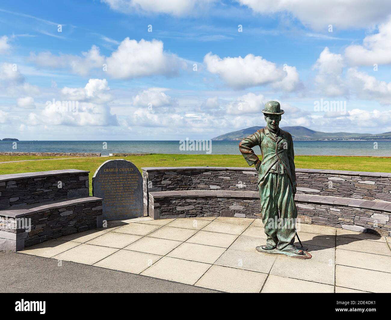 Denkmal für Charlie Chaplin mit Bronzestatue und Plakette, Bildhauer Alan Ryan Hall, Waterville, Ring of Kerry, Wild Atlantic Way, Irland Stockfotohttps://www.alamy.de/image-license-details/?v=1https://www.alamy.de/denkmal-fur-charlie-chaplin-mit-bronzestatue-und-plakette-bildhauer-alan-ryan-hall-waterville-ring-of-kerry-wild-atlantic-way-irland-image387331813.html
RM2DE4DK1–Denkmal für Charlie Chaplin mit Bronzestatue und Plakette, Bildhauer Alan Ryan Hall, Waterville, Ring of Kerry, Wild Atlantic Way, Irland
 An der felsigen Küste der Halbinsel Dingle, Ring of Kerry, Irland, County Kerry, Dingle Halbinsel Dingle Stockfotohttps://www.alamy.de/image-license-details/?v=1https://www.alamy.de/an-der-felsigen-kuste-der-halbinsel-dingle-ring-of-kerry-irland-county-kerry-dingle-halbinsel-dingle-image255219027.html
RMTR66D7–An der felsigen Küste der Halbinsel Dingle, Ring of Kerry, Irland, County Kerry, Dingle Halbinsel Dingle
 Strand in der Nähe von Kileen Ring of Kerry County Kerry Irland Stockfotohttps://www.alamy.de/image-license-details/?v=1https://www.alamy.de/stockfoto-strand-in-der-nahe-von-kileen-ring-of-kerry-county-kerry-irland-24958422.html
RMBCGXM6–Strand in der Nähe von Kileen Ring of Kerry County Kerry Irland
 Fogher Klippen und Geokaun Berg an Valentina Insel, Ring Of Kerry, Irland Stockfotohttps://www.alamy.de/image-license-details/?v=1https://www.alamy.de/fogher-klippen-und-geokaun-berg-an-valentina-insel-ring-of-kerry-irland-image235492207.html
RFRK3GKY–Fogher Klippen und Geokaun Berg an Valentina Insel, Ring Of Kerry, Irland
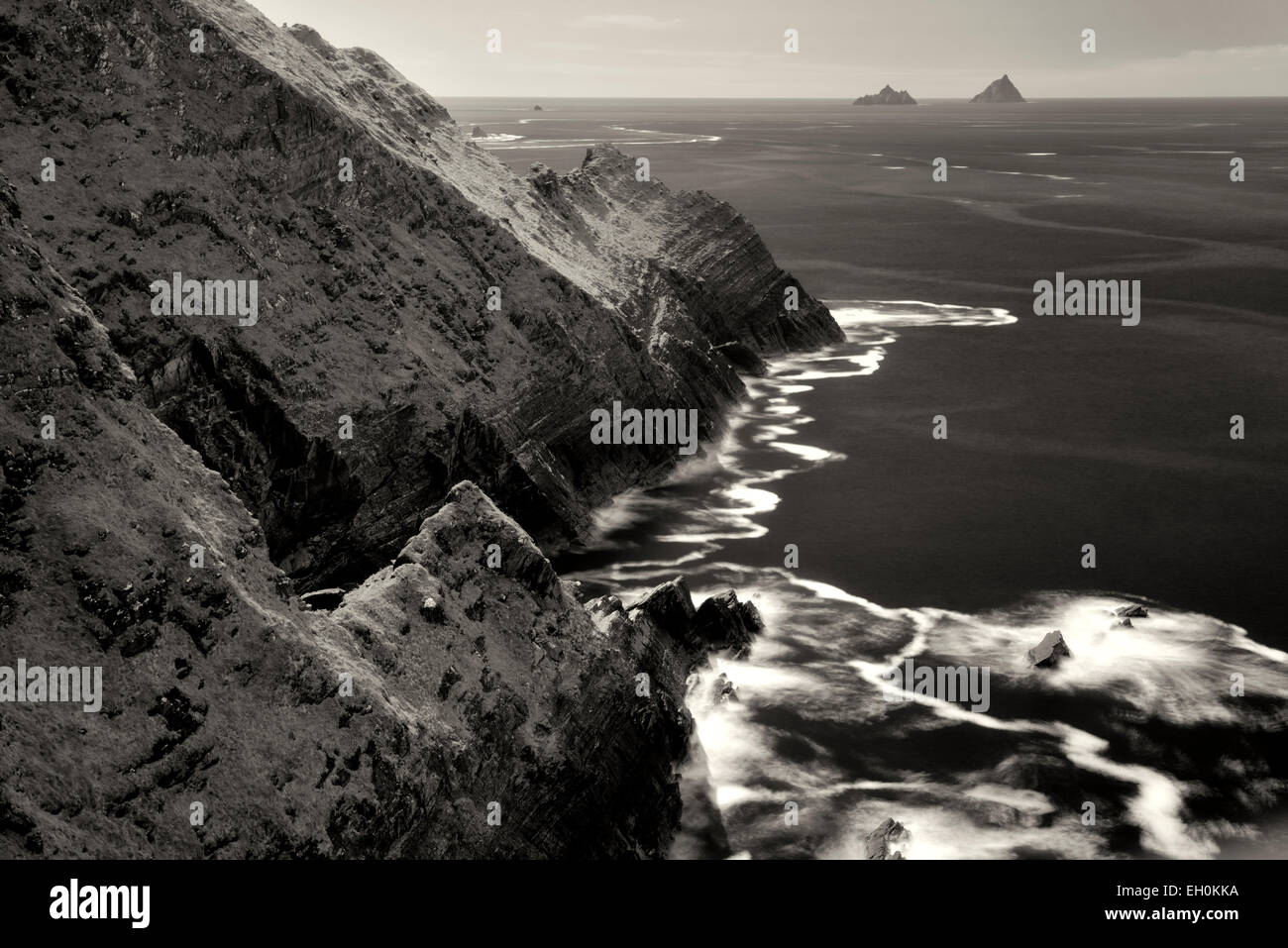 Kerry Klippen mit Welle Schaum auf dem Wasser. Portmagee, Ring of Kerry, Irland. Skellig Felsen in Ferne Stockfotohttps://www.alamy.de/image-license-details/?v=1https://www.alamy.de/stockfoto-kerry-klippen-mit-welle-schaum-auf-dem-wasser-portmagee-ring-of-kerry-irland-skellig-felsen-in-ferne-79306062.html
RMEH0KKA–Kerry Klippen mit Welle Schaum auf dem Wasser. Portmagee, Ring of Kerry, Irland. Skellig Felsen in Ferne
 Derrynane Bay in der Nähe von Caherdaniel am Ring of Kerry, County Kerry, Irland Stockfotohttps://www.alamy.de/image-license-details/?v=1https://www.alamy.de/stockfoto-derrynane-bay-in-der-nahe-von-caherdaniel-am-ring-of-kerry-county-kerry-irland-92616898.html
RMFAK1PA–Derrynane Bay in der Nähe von Caherdaniel am Ring of Kerry, County Kerry, Irland
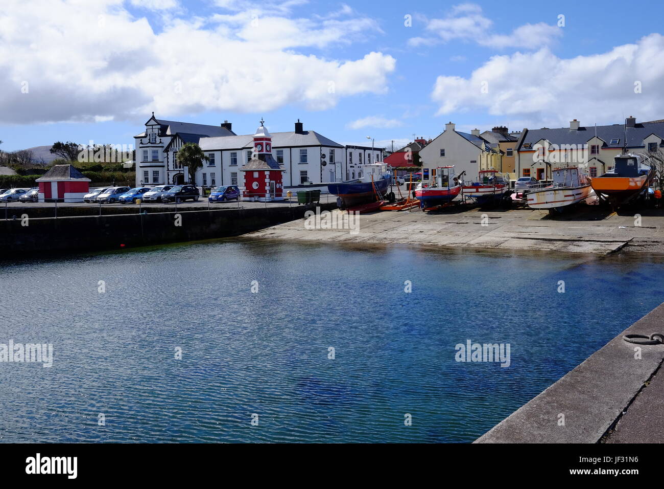 Valentia Island Hafen in County Kerry, Irland, auf den Ring of Kerry-Route und die Wild Atlantic Way Stockfotohttps://www.alamy.de/image-license-details/?v=1https://www.alamy.de/stockfoto-valentia-island-hafen-in-county-kerry-irland-auf-den-ring-of-kerry-route-und-die-wild-atlantic-way-146970018.html
RMJF31N6–Valentia Island Hafen in County Kerry, Irland, auf den Ring of Kerry-Route und die Wild Atlantic Way
 Ballingskelligs Bay, Loher, Ring of Kerry, Irland Stockfotohttps://www.alamy.de/image-license-details/?v=1https://www.alamy.de/stockfoto-ballingskelligs-bay-loher-ring-of-kerry-irland-105751460.html
RFG41B1T–Ballingskelligs Bay, Loher, Ring of Kerry, Irland
 Sneem River, Garten der Pyramiden von Sneem, Ring of Kerry. Stockfotohttps://www.alamy.de/image-license-details/?v=1https://www.alamy.de/sneem-river-garten-der-pyramiden-von-sneem-ring-of-kerry-image369428248.html
RF2CD0WE0–Sneem River, Garten der Pyramiden von Sneem, Ring of Kerry.
 Irland, Munster, County Kerry, Ring of Kerry, Küste, Stockfotohttps://www.alamy.de/image-license-details/?v=1https://www.alamy.de/stockfoto-irland-munster-county-kerry-ring-of-kerry-kuste-140614244.html
RMJ4NEW8–Irland, Munster, County Kerry, Ring of Kerry, Küste,
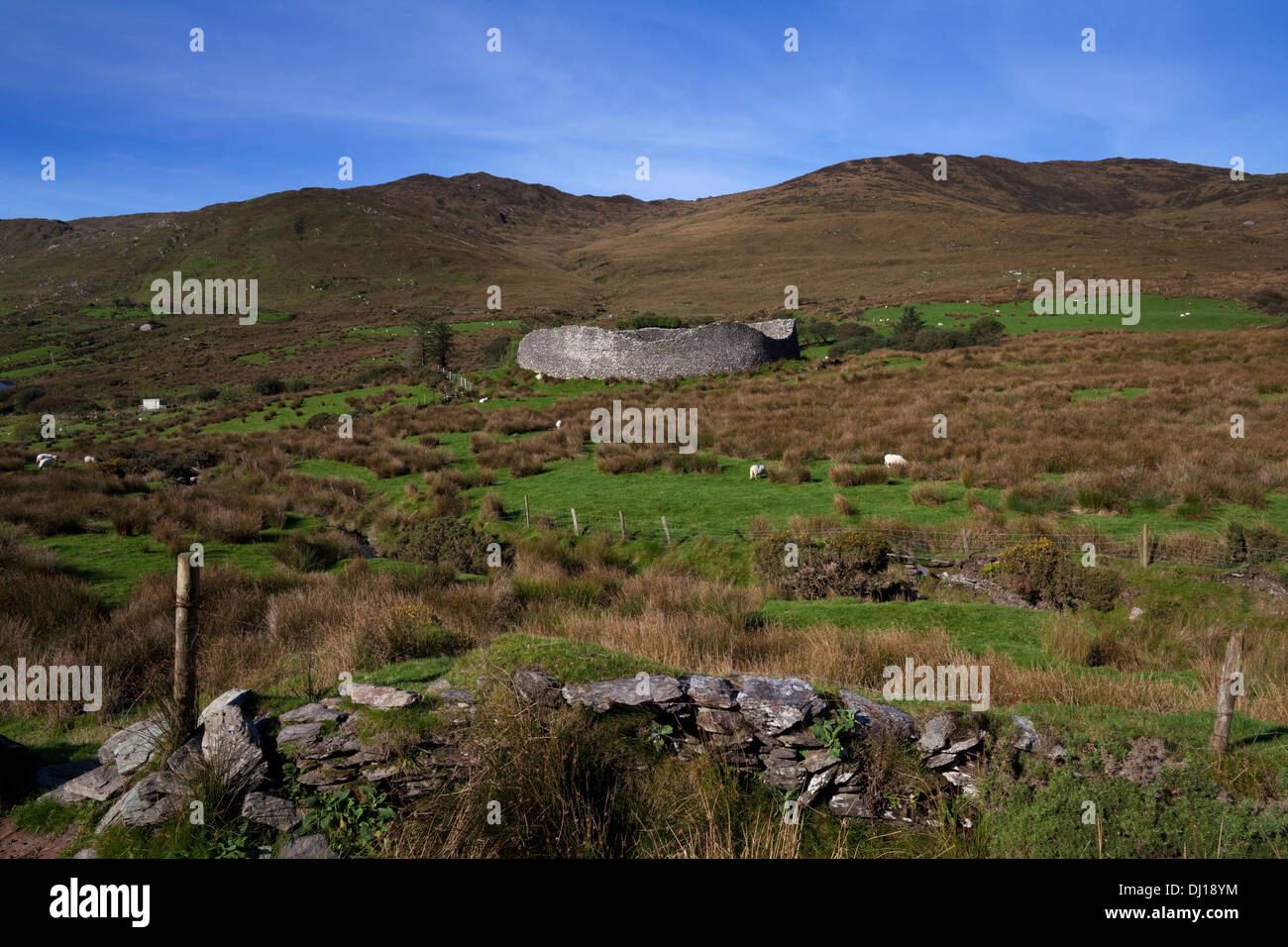 Staigue Fort bei 2.000 Jahre alten eines der am besten erhaltenen Cashels oder Ring Forts in Irland, in der Nähe von Sneem, Ring of Kerry, County Kerry, Irland Stockfotohttps://www.alamy.de/image-license-details/?v=1https://www.alamy.de/staigue-fort-bei-2000-jahre-alten-eines-der-am-besten-erhaltenen-cashels-oder-ring-forts-in-irland-in-der-nahe-von-sneem-ring-of-kerry-county-kerry-irland-image62723912.html
RMDJ18YM–Staigue Fort bei 2.000 Jahre alten eines der am besten erhaltenen Cashels oder Ring Forts in Irland, in der Nähe von Sneem, Ring of Kerry, County Kerry, Irland
 Irland, County Kerry, Ring of Kerry, Killarney, Main Street signs, Dämmerung Stockfotohttps://www.alamy.de/image-license-details/?v=1https://www.alamy.de/irland-county-kerry-ring-of-kerry-killarney-main-street-signs-dammerung-image259650502.html
RMW2C2T6–Irland, County Kerry, Ring of Kerry, Killarney, Main Street signs, Dämmerung
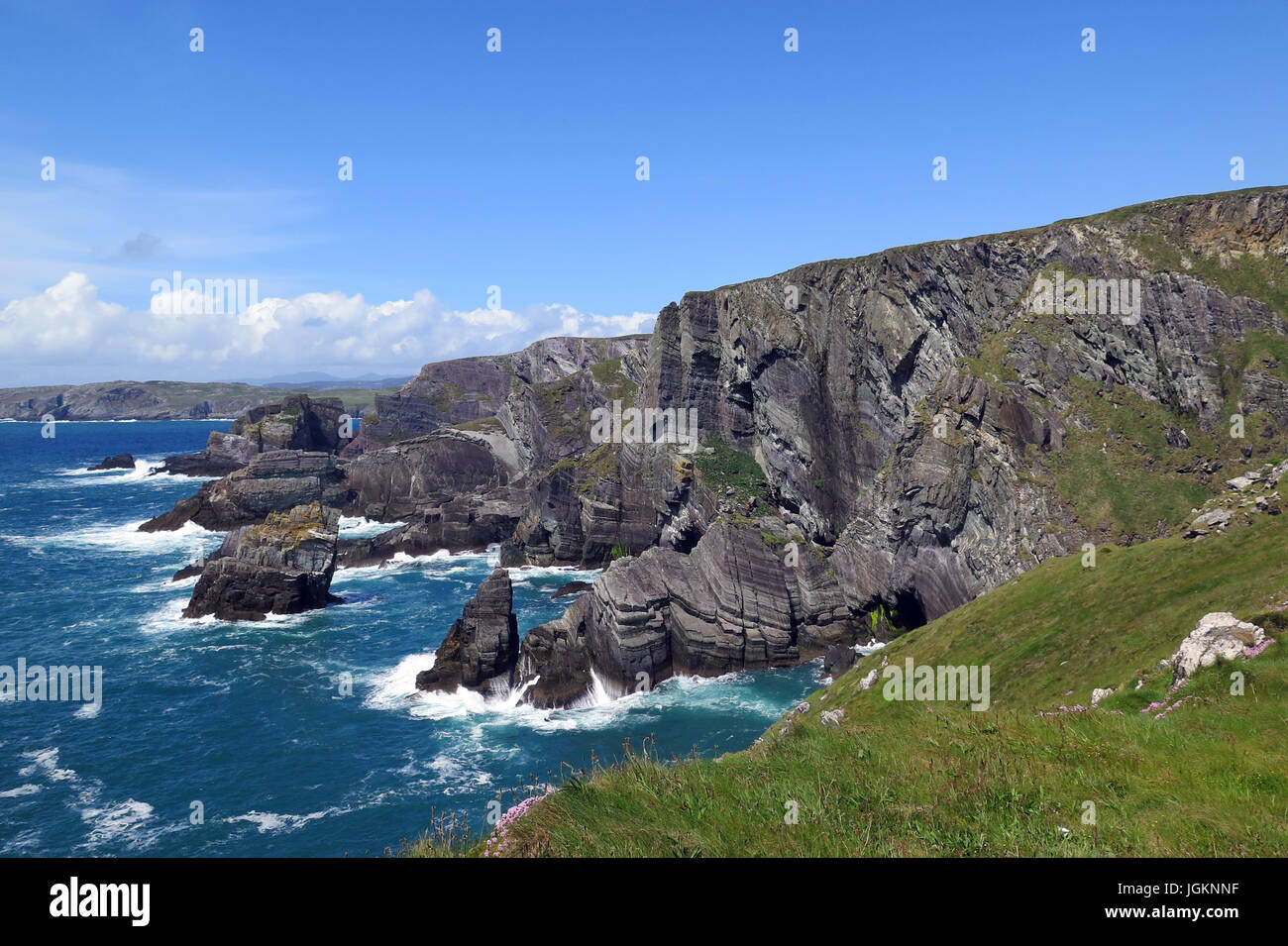 Mizen Head, Ring of Kerry, Irland, IE Stockfotohttps://www.alamy.de/image-license-details/?v=1https://www.alamy.de/stockfoto-mizen-head-ring-of-kerry-irland-ie-147951595.html
RFJGKNNF–Mizen Head, Ring of Kerry, Irland, IE
 Montbretia Blumen, Valencia Island Ring of Kerry Irland Stockfotohttps://www.alamy.de/image-license-details/?v=1https://www.alamy.de/stockfoto-montbretia-blumen-valencia-island-ring-of-kerry-irland-23538733.html
RFBA87W1–Montbretia Blumen, Valencia Island Ring of Kerry Irland
 Ballycarberry Burg, in der Nähe von Cahersiveen, Ring of Kerry, Irland Stockfotohttps://www.alamy.de/image-license-details/?v=1https://www.alamy.de/stockfoto-ballycarberry-burg-in-der-nahe-von-cahersiveen-ring-of-kerry-irland-105328582.html
RMG3A3K2–Ballycarberry Burg, in der Nähe von Cahersiveen, Ring of Kerry, Irland
 Blick auf den See rund um den Ring of Kerry, Killarney National Park, Irland, Europa Stockfotohttps://www.alamy.de/image-license-details/?v=1https://www.alamy.de/blick-auf-den-see-rund-um-den-ring-of-kerry-killarney-national-park-irland-europa-image224298643.html
RFR0WK5R–Blick auf den See rund um den Ring of Kerry, Killarney National Park, Irland, Europa
 Muckross House Ring of Kerry Stockfotohttps://www.alamy.de/image-license-details/?v=1https://www.alamy.de/stockfoto-muckross-house-ring-of-kerry-21261268.html
RMB6GEY0–Muckross House Ring of Kerry
 Staigue Stone Fort, Ring of Kerry, Irland Stockfotohttps://www.alamy.de/image-license-details/?v=1https://www.alamy.de/stockfoto-staigue-stone-fort-ring-of-kerry-irland-29949757.html
RMBMM965–Staigue Stone Fort, Ring of Kerry, Irland
 Lough Leane - See Leane - am Ring of Kerry, Killarney Irland Stockfotohttps://www.alamy.de/image-license-details/?v=1https://www.alamy.de/lough-leane-see-leane-am-ring-of-kerry-killarney-irland-image351336955.html
RF2BBGNTB–Lough Leane - See Leane - am Ring of Kerry, Killarney Irland
 Blackstones Brücke auf der Upper Caragh River, Ring of Kerry, Irland Stockfotohttps://www.alamy.de/image-license-details/?v=1https://www.alamy.de/blackstones-brucke-auf-der-upper-caragh-river-ring-of-kerry-irland-image231324274.html
RMRC9MD6–Blackstones Brücke auf der Upper Caragh River, Ring of Kerry, Irland
 An der felsigen Küste der Halbinsel Dingle, Ring of Kerry, Irland, County Kerry, Dingle Halbinsel Dingle Stockfotohttps://www.alamy.de/image-license-details/?v=1https://www.alamy.de/an-der-felsigen-kuste-der-halbinsel-dingle-ring-of-kerry-irland-county-kerry-dingle-halbinsel-dingle-image255219046.html
RMTR66DX–An der felsigen Küste der Halbinsel Dingle, Ring of Kerry, Irland, County Kerry, Dingle Halbinsel Dingle
 Grüne Landschaft entlang des Ring of Kerry getönten Wirkung. Düstere Marine im County Kerry - Vintage Effekt. Irland. Stockfotohttps://www.alamy.de/image-license-details/?v=1https://www.alamy.de/grune-landschaft-entlang-des-ring-of-kerry-getonten-wirkung-dustere-marine-im-county-kerry-vintage-effekt-irland-image180924768.html
RFME9RAT–Grüne Landschaft entlang des Ring of Kerry getönten Wirkung. Düstere Marine im County Kerry - Vintage Effekt. Irland.
 Muckross Gardens, Ring of Kerry, Irland Stockfotohttps://www.alamy.de/image-license-details/?v=1https://www.alamy.de/stockfoto-muckross-gardens-ring-of-kerry-irland-173497357.html
RFM27DJ5–Muckross Gardens, Ring of Kerry, Irland
 Zweisprachige oder zweisprachige Straßenschilder auf Englisch und Gälisch für den Ring of Kerry und den Wild Atlantic Way in der Nähe von Killorglin, County Kerry, Irland Stockfotohttps://www.alamy.de/image-license-details/?v=1https://www.alamy.de/zweisprachige-oder-zweisprachige-strassenschilder-auf-englisch-und-galisch-fur-den-ring-of-kerry-und-den-wild-atlantic-way-in-der-nahe-von-killorglin-county-kerry-irland-image351145268.html
RM2BB81AC–Zweisprachige oder zweisprachige Straßenschilder auf Englisch und Gälisch für den Ring of Kerry und den Wild Atlantic Way in der Nähe von Killorglin, County Kerry, Irland
 Schiff Wrack am Rossbeigh Strand in der Nähe von Glenbeigh, County Kerry, Ring of Kerry Stockfotohttps://www.alamy.de/image-license-details/?v=1https://www.alamy.de/stockfoto-schiff-wrack-am-rossbeigh-strand-in-der-nahe-von-glenbeigh-county-kerry-ring-of-kerry-92856002.html
RMFB1XNP–Schiff Wrack am Rossbeigh Strand in der Nähe von Glenbeigh, County Kerry, Ring of Kerry
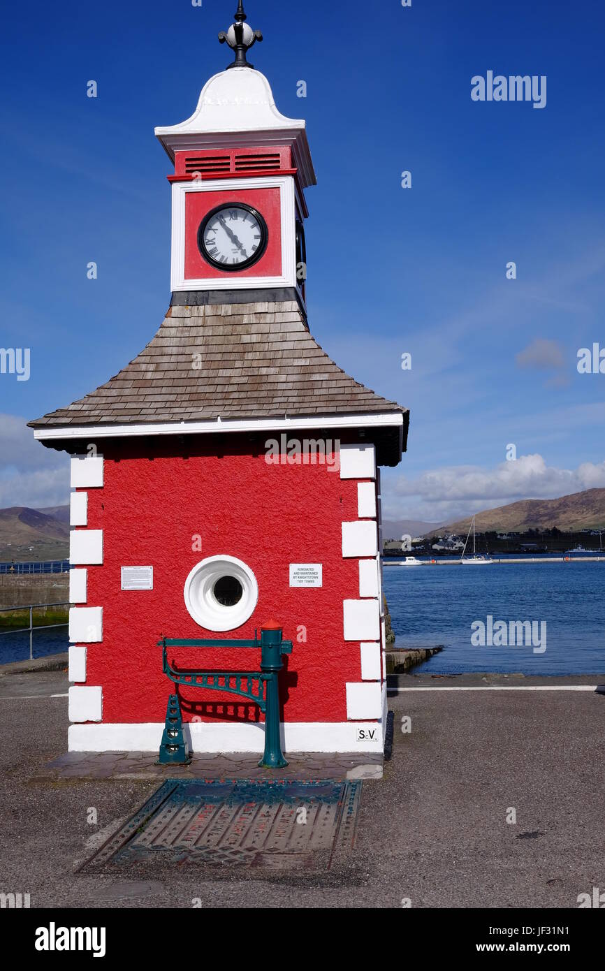 Der Uhrturm in Knightstown, Valentia Island, County Kerry, Irland. Ein Ziel auf dem Ring of Kerry & Wild Atlantic Way. Stockfotohttps://www.alamy.de/image-license-details/?v=1https://www.alamy.de/stockfoto-der-uhrturm-in-knightstown-valentia-island-county-kerry-irland-ein-ziel-auf-dem-ring-of-kerry-wild-atlantic-way-146970013.html
RMJF31N1–Der Uhrturm in Knightstown, Valentia Island, County Kerry, Irland. Ein Ziel auf dem Ring of Kerry & Wild Atlantic Way.
 Eskadawer, Ring of Kerry, County Kerry, Irland Stockfotohttps://www.alamy.de/image-license-details/?v=1https://www.alamy.de/stockfoto-eskadawer-ring-of-kerry-county-kerry-irland-105751611.html
RFG41B77–Eskadawer, Ring of Kerry, County Kerry, Irland
 Küstenweg von Waterville, Ring of Kerry, Co.Kerry, Irland Stockfotohttps://www.alamy.de/image-license-details/?v=1https://www.alamy.de/kustenweg-von-waterville-ring-of-kerry-cokerry-irland-image369428327.html
RF2CD0WGR–Küstenweg von Waterville, Ring of Kerry, Co.Kerry, Irland
 Irland, Munster, County Kerry, Ring of Kerry, Skellig Ring, Stockfotohttps://www.alamy.de/image-license-details/?v=1https://www.alamy.de/stockfoto-irland-munster-county-kerry-ring-of-kerry-skellig-ring-140636409.html
RMJ4PF4W–Irland, Munster, County Kerry, Ring of Kerry, Skellig Ring,
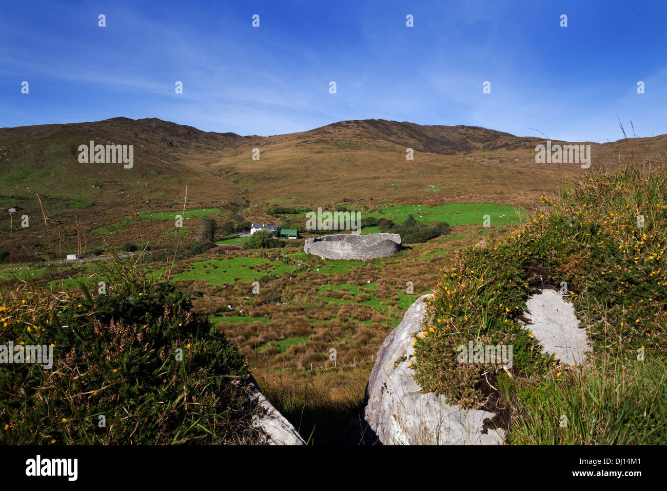 Staigue Fort bei 2.000 Jahre alten eines der am besten erhaltenen Cashels oder Ring Forts in Irland, in der Nähe von Sneem, Ring of Kerry, County Kerry, Irland Stockfotohttps://www.alamy.de/image-license-details/?v=1https://www.alamy.de/staigue-fort-bei-2000-jahre-alten-eines-der-am-besten-erhaltenen-cashels-oder-ring-forts-in-irland-in-der-nahe-von-sneem-ring-of-kerry-county-kerry-irland-image62720561.html
RMDJ14M1–Staigue Fort bei 2.000 Jahre alten eines der am besten erhaltenen Cashels oder Ring Forts in Irland, in der Nähe von Sneem, Ring of Kerry, County Kerry, Irland
 Flechten, Kells Bay Gardens Ring of Kerry, Irland Stockfotohttps://www.alamy.de/image-license-details/?v=1https://www.alamy.de/stockfoto-flechten-kells-bay-gardens-ring-of-kerry-irland-37341121.html
RMC4N0YD–Flechten, Kells Bay Gardens Ring of Kerry, Irland
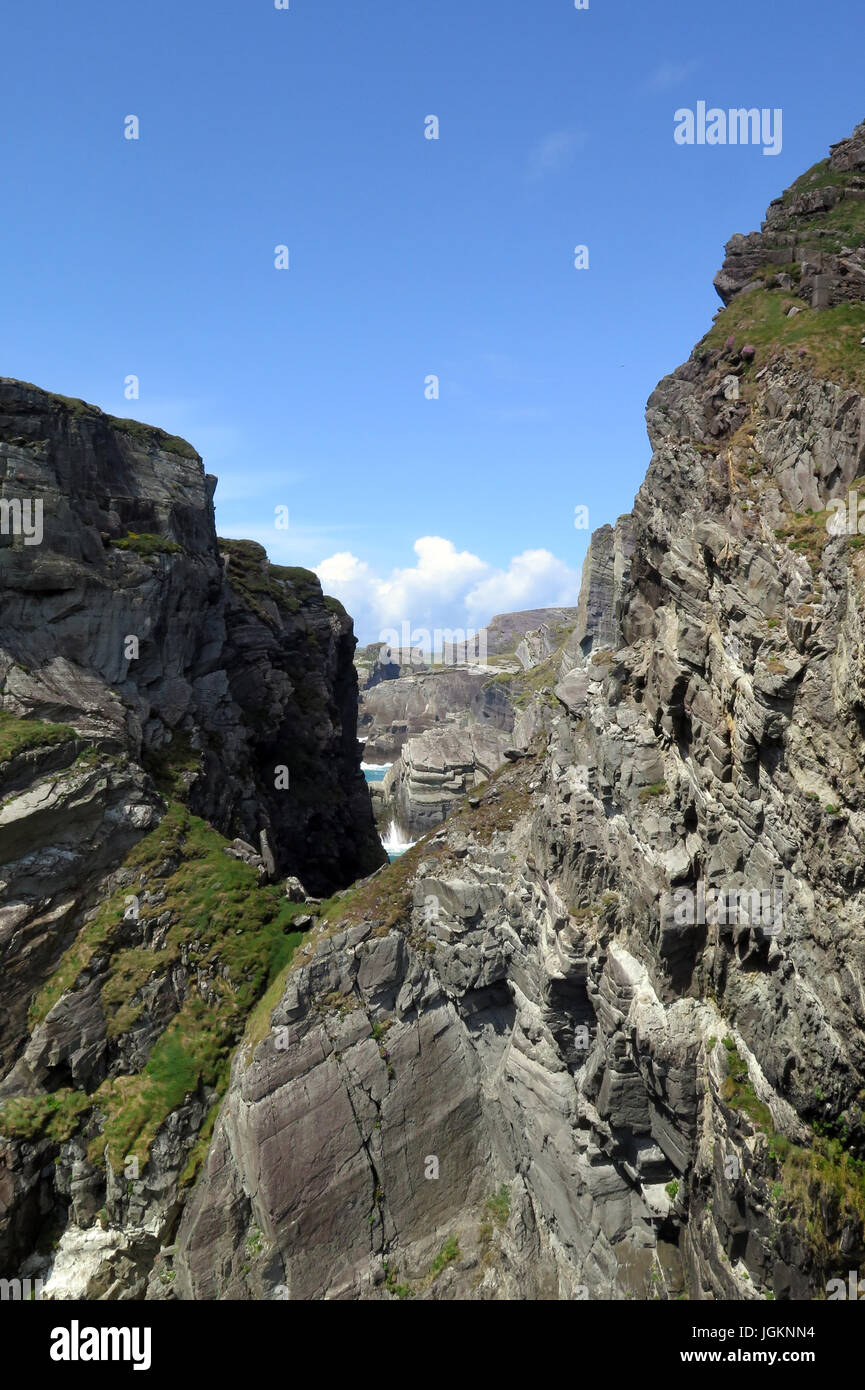 Mizen Head, Ring of Kerry, Irland, IE Stockfotohttps://www.alamy.de/image-license-details/?v=1https://www.alamy.de/stockfoto-mizen-head-ring-of-kerry-irland-ie-147951584.html
RFJGKNN4–Mizen Head, Ring of Kerry, Irland, IE
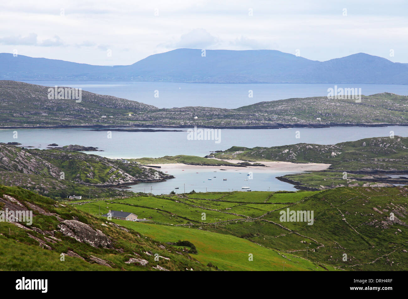 Ring of Kerry in County Kerry, Irland Stockfotohttps://www.alamy.de/image-license-details/?v=1https://www.alamy.de/ring-of-kerry-in-county-kerry-irland-image66145171.html
RFDRH4RF–Ring of Kerry in County Kerry, Irland
 Ballycarberry Burg, in der Nähe von Cahersiveen, Ring of Kerry, Irland Stockfotohttps://www.alamy.de/image-license-details/?v=1https://www.alamy.de/stockfoto-ballycarberry-burg-in-der-nahe-von-cahersiveen-ring-of-kerry-irland-105328561.html
RMG3A3J9–Ballycarberry Burg, in der Nähe von Cahersiveen, Ring of Kerry, Irland
 Blick auf den See rund um den Ring of Kerry, Killarney National Park, Irland, Europa Stockfotohttps://www.alamy.de/image-license-details/?v=1https://www.alamy.de/blick-auf-den-see-rund-um-den-ring-of-kerry-killarney-national-park-irland-europa-image224298616.html
RFR0WK4T–Blick auf den See rund um den Ring of Kerry, Killarney National Park, Irland, Europa
 Molls gap Ring of Kerry Stockfotohttps://www.alamy.de/image-license-details/?v=1https://www.alamy.de/stockfoto-molls-gap-ring-of-kerry-21261224.html
RFB6GEWC–Molls gap Ring of Kerry
 Staigue Stone Fort, Ring of Kerry, Irland Stockfotohttps://www.alamy.de/image-license-details/?v=1https://www.alamy.de/stockfoto-staigue-stone-fort-ring-of-kerry-irland-29966108.html
RMBMN224–Staigue Stone Fort, Ring of Kerry, Irland
 Die Küstenlinie der Ring von Kerry an einem regnerischen Tag in Irland Stockfotohttps://www.alamy.de/image-license-details/?v=1https://www.alamy.de/die-kustenlinie-der-ring-von-kerry-an-einem-regnerischen-tag-in-irland-image223918505.html
RFR08A9D–Die Küstenlinie der Ring von Kerry an einem regnerischen Tag in Irland
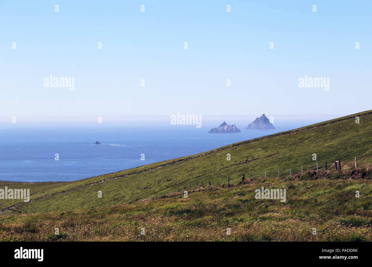 Ring of Kerry mit Skellig Michael und die Skellig Inseln in der Ferne. Stockfotohttps://www.alamy.de/image-license-details/?v=1https://www.alamy.de/ring-of-kerry-mit-skellig-michael-und-die-skellig-inseln-in-der-ferne-image212967207.html
RMPADDRK–Ring of Kerry mit Skellig Michael und die Skellig Inseln in der Ferne.
 An der felsigen Küste der Halbinsel Dingle, Ring of Kerry, Irland, County Kerry, Dingle Halbinsel Dingle Stockfotohttps://www.alamy.de/image-license-details/?v=1https://www.alamy.de/an-der-felsigen-kuste-der-halbinsel-dingle-ring-of-kerry-irland-county-kerry-dingle-halbinsel-dingle-image255219029.html
RMTR66D9–An der felsigen Küste der Halbinsel Dingle, Ring of Kerry, Irland, County Kerry, Dingle Halbinsel Dingle
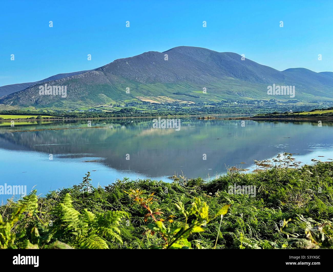 Ring of Kerry - Blick über das Wasser in der Nähe von Cahersiveen, Lower Carhan, August. Stockfotohttps://www.alamy.de/image-license-details/?v=1https://www.alamy.de/ring-of-kerry-blick-uber-das-wasser-in-der-nahe-von-cahersiveen-lower-carhan-august-image312244140.html
RFS3YXGC–Ring of Kerry - Blick über das Wasser in der Nähe von Cahersiveen, Lower Carhan, August.
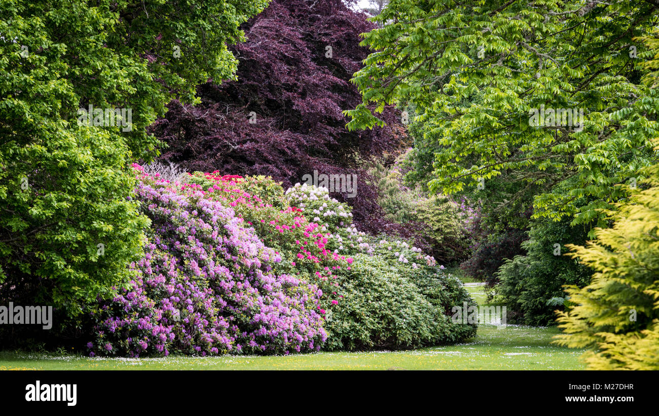 Muckross Gardens, Ring of Kerry, Irland Stockfotohttps://www.alamy.de/image-license-details/?v=1https://www.alamy.de/stockfoto-muckross-gardens-ring-of-kerry-irland-173497347.html
RFM27DHR–Muckross Gardens, Ring of Kerry, Irland
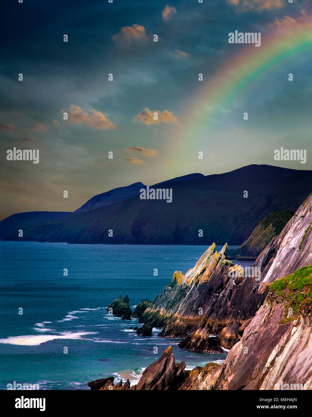 IE-CO.KERRY: Slea Head auf der Dingle Halbinsel - Ring of Kerry Stockfotohttps://www.alamy.de/image-license-details/?v=1https://www.alamy.de/stockfoto-ie-cokerry-slea-head-auf-der-dingle-halbinsel-ring-of-kerry-177402477.html
RMM8HAJN–IE-CO.KERRY: Slea Head auf der Dingle Halbinsel - Ring of Kerry
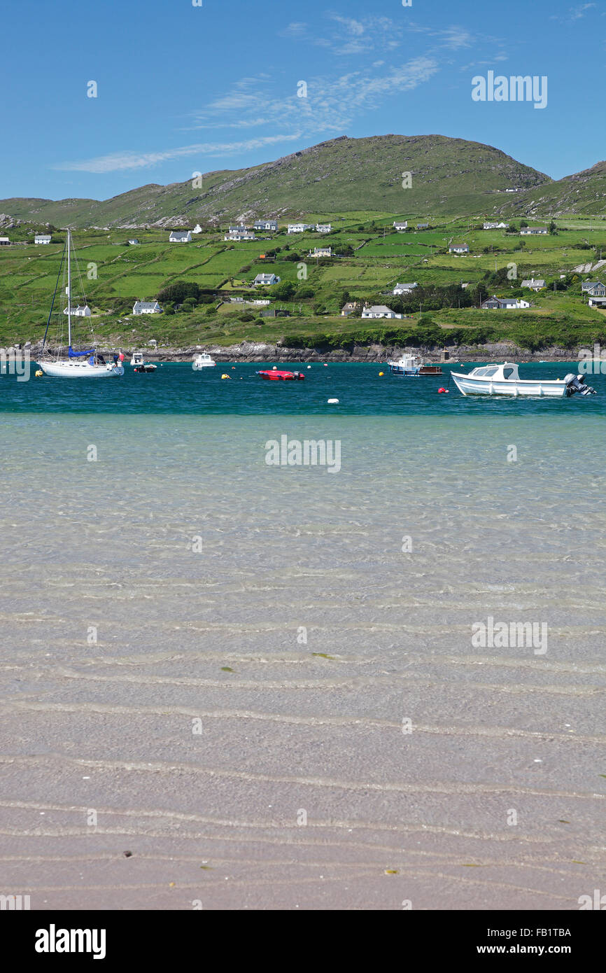 Derrynane Bay in der Nähe von Caherdaniel am Ring of Kerry, County Kerry, Irland Stockfotohttps://www.alamy.de/image-license-details/?v=1https://www.alamy.de/stockfoto-derrynane-bay-in-der-nahe-von-caherdaniel-am-ring-of-kerry-county-kerry-irland-92854142.html
RMFB1TBA–Derrynane Bay in der Nähe von Caherdaniel am Ring of Kerry, County Kerry, Irland
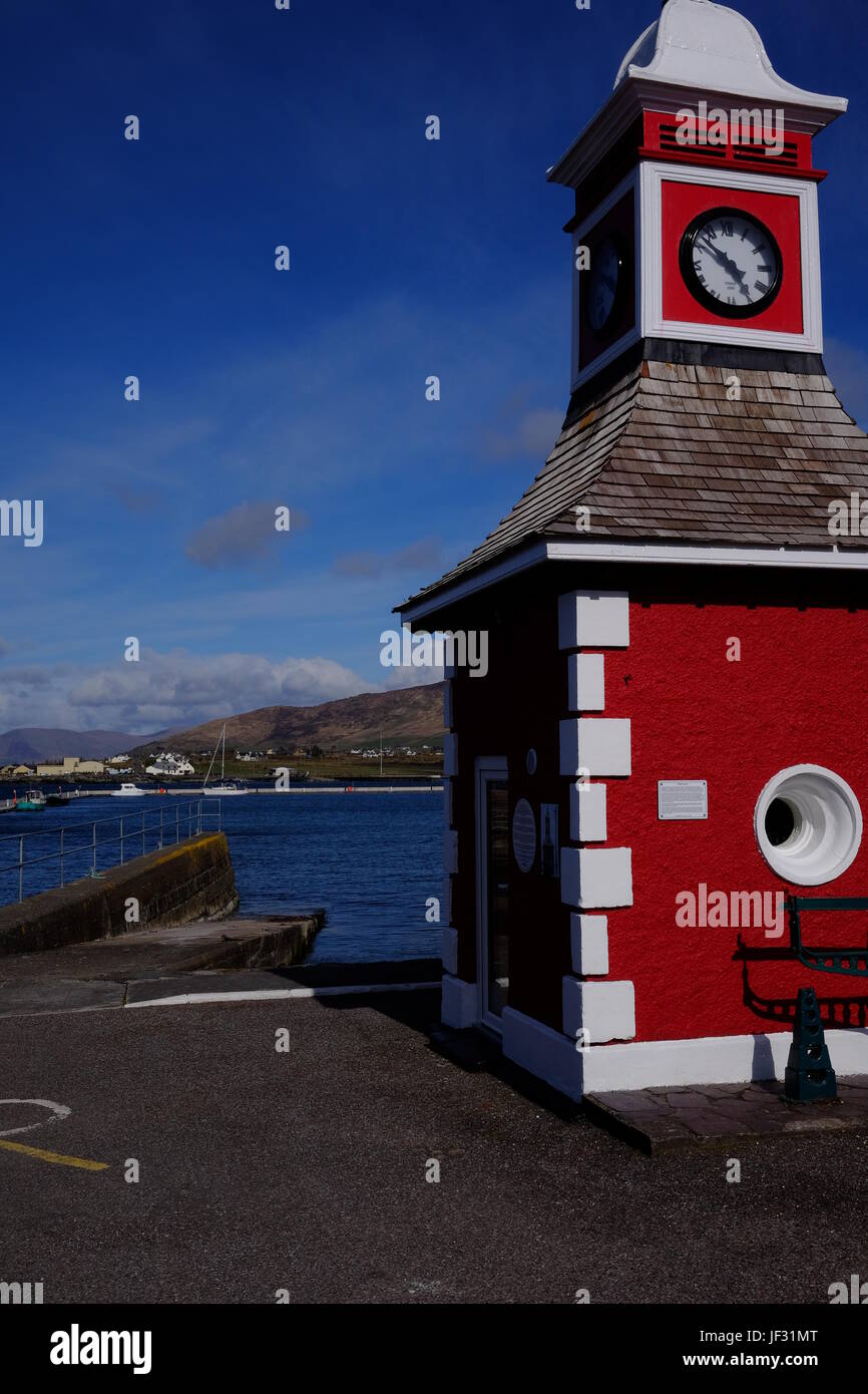 Der Uhrturm in Knightstown, Valentia Island, County Kerry, Irland. Ein Ziel auf dem Ring of Kerry & Wild Atlantic Way. Stockfotohttps://www.alamy.de/image-license-details/?v=1https://www.alamy.de/stockfoto-der-uhrturm-in-knightstown-valentia-island-county-kerry-irland-ein-ziel-auf-dem-ring-of-kerry-wild-atlantic-way-146970008.html
RMJF31MT–Der Uhrturm in Knightstown, Valentia Island, County Kerry, Irland. Ein Ziel auf dem Ring of Kerry & Wild Atlantic Way.
 Lämmer Kopf, Abbey Island, Ring of Kerry, Irland Stockfotohttps://www.alamy.de/image-license-details/?v=1https://www.alamy.de/stockfoto-lammer-kopf-abbey-island-ring-of-kerry-irland-105751472.html
RFG41B28–Lämmer Kopf, Abbey Island, Ring of Kerry, Irland
 Panoramablick auf Derrynane Ogham Stone Beach, an der Ring of Kerry Route, Irland Stockfotohttps://www.alamy.de/image-license-details/?v=1https://www.alamy.de/panoramablick-auf-derrynane-ogham-stone-beach-an-der-ring-of-kerry-route-irland-image369428298.html
RF2CD0WFP–Panoramablick auf Derrynane Ogham Stone Beach, an der Ring of Kerry Route, Irland
 Irland, Munster, County Kerry, Ring of Kerry, Skellig Ring, Stockfotohttps://www.alamy.de/image-license-details/?v=1https://www.alamy.de/stockfoto-irland-munster-county-kerry-ring-of-kerry-skellig-ring-140638110.html
RMJ4PH9J–Irland, Munster, County Kerry, Ring of Kerry, Skellig Ring,
 Staigue Fort, Castlecove, Ring of Kerry Trail, Iveragh Halbinsel, County Kerry, Irland, Europa. September 2015. Stockfotohttps://www.alamy.de/image-license-details/?v=1https://www.alamy.de/staigue-fort-castlecove-ring-of-kerry-trail-iveragh-halbinsel-county-kerry-irland-europa-september-2015-image156417948.html
RMK2DCK8–Staigue Fort, Castlecove, Ring of Kerry Trail, Iveragh Halbinsel, County Kerry, Irland, Europa. September 2015.
 Molls Gap am Ring of Kerry Route im County Kerry, Irland, ist eine Lücke in der kargen Landschaft, in der sich die Straße durch die Kenmare fällt. Stockfotohttps://www.alamy.de/image-license-details/?v=1https://www.alamy.de/molls-gap-am-ring-of-kerry-route-im-county-kerry-irland-ist-eine-lucke-in-der-kargen-landschaft-in-der-sich-die-strasse-durch-die-kenmare-fallt-image155071070.html
RMK082ME–Molls Gap am Ring of Kerry Route im County Kerry, Irland, ist eine Lücke in der kargen Landschaft, in der sich die Straße durch die Kenmare fällt.
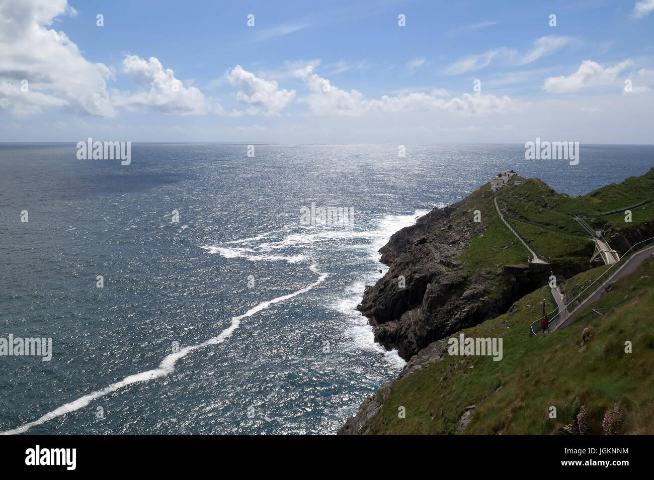 Mizen Head, Ring of Kerry, Irland, IE Stockfotohttps://www.alamy.de/image-license-details/?v=1https://www.alamy.de/stockfoto-mizen-head-ring-of-kerry-irland-ie-147951600.html
RFJGKNNM–Mizen Head, Ring of Kerry, Irland, IE
 Touristen am Ladies View mit Blick auf die Seen von Killarney N71 Ring of Kerry, Killarney National Park, County Kerry, Irland Stockfotohttps://www.alamy.de/image-license-details/?v=1https://www.alamy.de/stockfoto-touristen-am-ladies-view-mit-blick-auf-die-seen-von-killarney-n71-ring-of-kerry-killarney-national-park-county-kerry-irland-74020768.html
RME8BX6T–Touristen am Ladies View mit Blick auf die Seen von Killarney N71 Ring of Kerry, Killarney National Park, County Kerry, Irland
 Ballycarberry Burg, in der Nähe von Cahersiveen, Ring of Kerry, Irland Stockfotohttps://www.alamy.de/image-license-details/?v=1https://www.alamy.de/stockfoto-ballycarberry-burg-in-der-nahe-von-cahersiveen-ring-of-kerry-irland-105328601.html
RMG3A3KN–Ballycarberry Burg, in der Nähe von Cahersiveen, Ring of Kerry, Irland
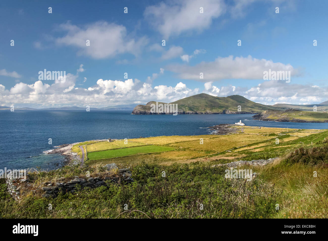 Landschaft von Valentia Island am Ring of Kerry, County Kerry, Irland Stockfotohttps://www.alamy.de/image-license-details/?v=1https://www.alamy.de/stockfoto-landschaft-von-valentia-island-am-ring-of-kerry-county-kerry-irland-80789957.html
RFEKC8BH–Landschaft von Valentia Island am Ring of Kerry, County Kerry, Irland
 Red Fox Inn Ring of Kerry Stockfotohttps://www.alamy.de/image-license-details/?v=1https://www.alamy.de/stockfoto-red-fox-inn-ring-of-kerry-21261204.html
RMB6GETM–Red Fox Inn Ring of Kerry
 Staigue Stone Fort, Ring of Kerry, Irland Stockfotohttps://www.alamy.de/image-license-details/?v=1https://www.alamy.de/stockfoto-staigue-stone-fort-ring-of-kerry-irland-29949725.html
RMBMM951–Staigue Stone Fort, Ring of Kerry, Irland
 Morgen Frost, Ring of Kerry, Irland Stockfotohttps://www.alamy.de/image-license-details/?v=1https://www.alamy.de/stockfoto-morgen-frost-ring-of-kerry-irland-142003336.html
RFJ70PKM–Morgen Frost, Ring of Kerry, Irland
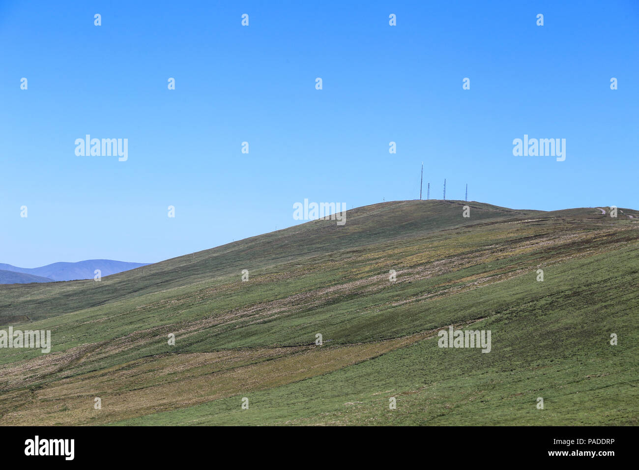 Der Ring of Kerry ist eine 179 Kilometer lange (111 km) Rundschreiben touristische Route in der Grafschaft Kerry, süd-westlichen Irland. Im Uhrzeigersinn von Killarney Es follo Stockfotohttps://www.alamy.de/image-license-details/?v=1https://www.alamy.de/der-ring-of-kerry-ist-eine-179-kilometer-lange-111-km-rundschreiben-touristische-route-in-der-grafschaft-kerry-sud-westlichen-irland-im-uhrzeigersinn-von-killarney-es-follo-image212967210.html
RMPADDRP–Der Ring of Kerry ist eine 179 Kilometer lange (111 km) Rundschreiben touristische Route in der Grafschaft Kerry, süd-westlichen Irland. Im Uhrzeigersinn von Killarney Es follo
 An der felsigen Küste der Halbinsel Dingle, Ring of Kerry, Irland, County Kerry, Dingle Halbinsel Dingle Stockfotohttps://www.alamy.de/image-license-details/?v=1https://www.alamy.de/an-der-felsigen-kuste-der-halbinsel-dingle-ring-of-kerry-irland-county-kerry-dingle-halbinsel-dingle-image255219028.html
RMTR66D8–An der felsigen Küste der Halbinsel Dingle, Ring of Kerry, Irland, County Kerry, Dingle Halbinsel Dingle
 Einen Weg entwickelt, in den Ring of Kerry, Irland Stockfotohttps://www.alamy.de/image-license-details/?v=1https://www.alamy.de/stockfoto-einen-weg-entwickelt-in-den-ring-of-kerry-irland-52634645.html
RFD1HM0N–Einen Weg entwickelt, in den Ring of Kerry, Irland
 Muckross Gardens, Ring of Kerry, Irland Stockfotohttps://www.alamy.de/image-license-details/?v=1https://www.alamy.de/stockfoto-muckross-gardens-ring-of-kerry-irland-173497335.html
RFM27DHB–Muckross Gardens, Ring of Kerry, Irland
 IE-CO.KERRY: Slea Head auf der Dingle Halbinsel - Ring of Kerry Stockfotohttps://www.alamy.de/image-license-details/?v=1https://www.alamy.de/stockfoto-ie-cokerry-slea-head-auf-der-dingle-halbinsel-ring-of-kerry-177376030.html
RMM8G4X6–IE-CO.KERRY: Slea Head auf der Dingle Halbinsel - Ring of Kerry
 Derrynane Bay in der Nähe von Caherdaniel am Ring of Kerry, County Kerry, Irland Stockfotohttps://www.alamy.de/image-license-details/?v=1https://www.alamy.de/stockfoto-derrynane-bay-in-der-nahe-von-caherdaniel-am-ring-of-kerry-county-kerry-irland-92616950.html
RMFAK1T6–Derrynane Bay in der Nähe von Caherdaniel am Ring of Kerry, County Kerry, Irland
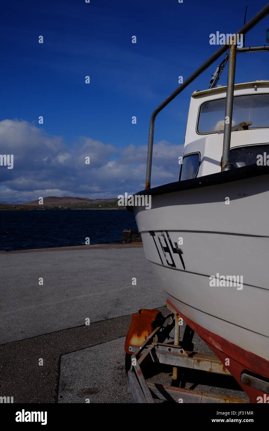 Boot in Knightstown, Valentia Island, County Kerry, Irland entlang der Ring of Kerry und die Wild Atlantic Way Stockfotohttps://www.alamy.de/image-license-details/?v=1https://www.alamy.de/stockfoto-boot-in-knightstown-valentia-island-county-kerry-irland-entlang-der-ring-of-kerry-und-die-wild-atlantic-way-146970007.html
RMJF31MR–Boot in Knightstown, Valentia Island, County Kerry, Irland entlang der Ring of Kerry und die Wild Atlantic Way
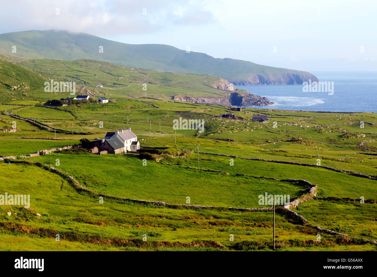 Skellig Ring, Ring of Kerry, County Kerry, Irland Stockfotohttps://www.alamy.de/image-license-details/?v=1https://www.alamy.de/stockfoto-skellig-ring-ring-of-kerry-county-kerry-irland-106475794.html
RFG56AXX–Skellig Ring, Ring of Kerry, County Kerry, Irland
 Panoramablick auf Derrynane Ogham Stone Beach, an der Ring of Kerry Route, Irland Stockfotohttps://www.alamy.de/image-license-details/?v=1https://www.alamy.de/panoramablick-auf-derrynane-ogham-stone-beach-an-der-ring-of-kerry-route-irland-image369428308.html
RF2CD0WG4–Panoramablick auf Derrynane Ogham Stone Beach, an der Ring of Kerry Route, Irland
 Irland, Munster, County Kerry, Ring of Kerry, Skellig Ring Portmagee, Stockfotohttps://www.alamy.de/image-license-details/?v=1https://www.alamy.de/stockfoto-irland-munster-county-kerry-ring-of-kerry-skellig-ring-portmagee-140638118.html
RMJ4PH9X–Irland, Munster, County Kerry, Ring of Kerry, Skellig Ring Portmagee,
 Schäferhund Versuche in Caitins, Kells, Ring of Kerry, die Iveragh Halbinsel, County Kerry, Irland, Europa. September 2015. Stockfotohttps://www.alamy.de/image-license-details/?v=1https://www.alamy.de/schaferhund-versuche-in-caitins-kells-ring-of-kerry-die-iveragh-halbinsel-county-kerry-irland-europa-september-2015-image156485651.html
RMK2GF17–Schäferhund Versuche in Caitins, Kells, Ring of Kerry, die Iveragh Halbinsel, County Kerry, Irland, Europa. September 2015.
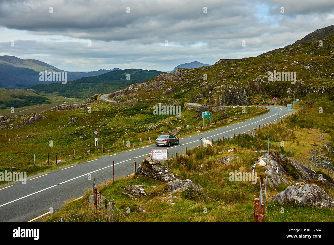 Molls Gap am Ring of Kerry Route im County Kerry, Irland, ist eine Lücke in der kargen Landschaft, in der sich die Straße durch die Kenmare fällt. Stockfotohttps://www.alamy.de/image-license-details/?v=1https://www.alamy.de/molls-gap-am-ring-of-kerry-route-im-county-kerry-irland-ist-eine-lucke-in-der-kargen-landschaft-in-der-sich-die-strasse-durch-die-kenmare-fallt-image155071066.html
RMK082MA–Molls Gap am Ring of Kerry Route im County Kerry, Irland, ist eine Lücke in der kargen Landschaft, in der sich die Straße durch die Kenmare fällt.
 Mizen Head, Ring of Kerry, Irland, IE Stockfotohttps://www.alamy.de/image-license-details/?v=1https://www.alamy.de/stockfoto-mizen-head-ring-of-kerry-irland-ie-147951581.html
RFJGKNN1–Mizen Head, Ring of Kerry, Irland, IE
 Aussichtspunkt auf dem Ring of Kerry malerische Fahrt in Irland Stockfotohttps://www.alamy.de/image-license-details/?v=1https://www.alamy.de/aussichtspunkt-auf-dem-ring-of-kerry-malerische-fahrt-in-irland-image474385033.html
RM2JFP2XH–Aussichtspunkt auf dem Ring of Kerry malerische Fahrt in Irland
 Inny Strand in der Nähe von Waterville Ring of Kerry, Irland Stockfotohttps://www.alamy.de/image-license-details/?v=1https://www.alamy.de/stockfoto-inny-strand-in-der-nahe-von-waterville-ring-of-kerry-irland-105328428.html
RMG3A3DG–Inny Strand in der Nähe von Waterville Ring of Kerry, Irland
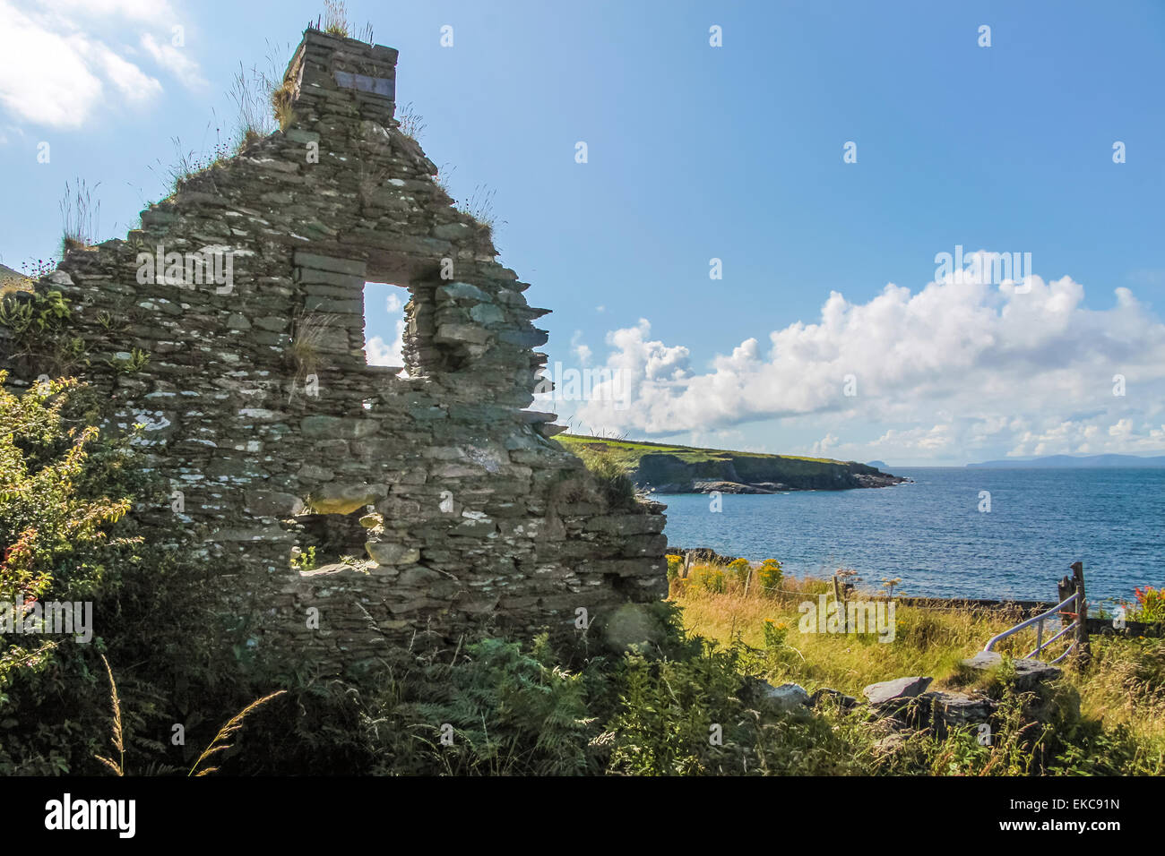 Ruine auf Valentia Island am Ring of Kerry, County Kerry, Irland Stockfotohttps://www.alamy.de/image-license-details/?v=1https://www.alamy.de/stockfoto-ruine-auf-valentia-island-am-ring-of-kerry-county-kerry-irland-80790465.html
RFEKC91N–Ruine auf Valentia Island am Ring of Kerry, County Kerry, Irland
 O'Briens Turm an den Cliffs of Moher am Ring of Kerry Irland Stockfotohttps://www.alamy.de/image-license-details/?v=1https://www.alamy.de/obriens-turm-an-den-cliffs-of-moher-am-ring-of-kerry-irland-image353470615.html
RM2BF1YAF–O'Briens Turm an den Cliffs of Moher am Ring of Kerry Irland
 Sandstrand in der Nähe von Ballinskelligs, Ring of Kerry, Irland Stockfotohttps://www.alamy.de/image-license-details/?v=1https://www.alamy.de/stockfoto-sandstrand-in-der-nahe-von-ballinskelligs-ring-of-kerry-irland-29951078.html
RMBMMAWA–Sandstrand in der Nähe von Ballinskelligs, Ring of Kerry, Irland
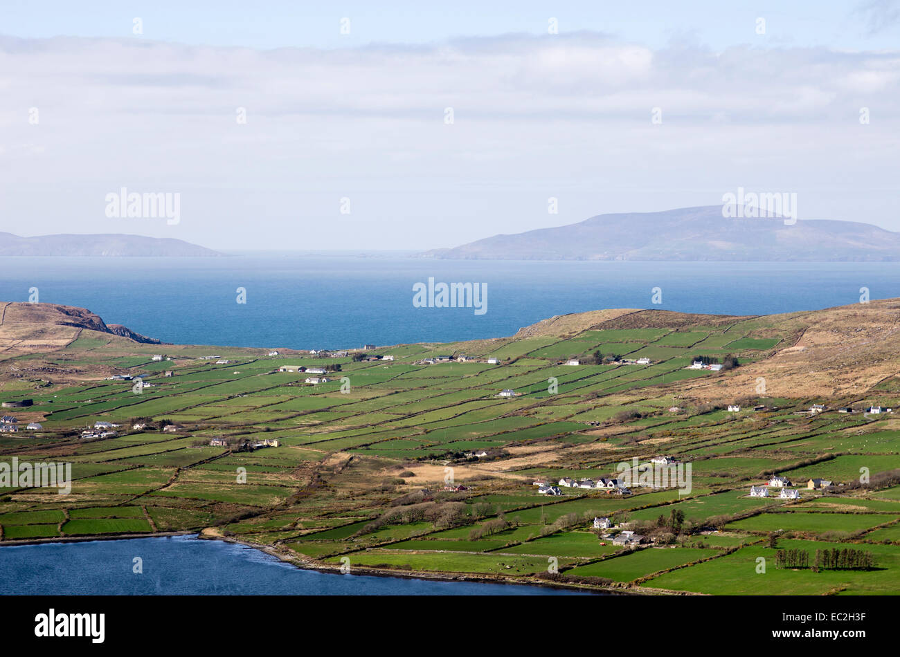 Ein Blick in Richtung Beginish Island aus dem Ring of Kerry, Irland. Stockfotohttps://www.alamy.de/image-license-details/?v=1https://www.alamy.de/stockfoto-ein-blick-in-richtung-beginish-island-aus-dem-ring-of-kerry-irland-76274675.html
RMEC2H3F–Ein Blick in Richtung Beginish Island aus dem Ring of Kerry, Irland.
 Irland, Kerry, County Kerry, Ring of Kerry, Wasser schlägt auf die steilen Felswände Stockfotohttps://www.alamy.de/image-license-details/?v=1https://www.alamy.de/stockfoto-irland-kerry-county-kerry-ring-of-kerry-wasser-schlagt-auf-die-steilen-felswande-111481089.html
RFGDAB7D–Irland, Kerry, County Kerry, Ring of Kerry, Wasser schlägt auf die steilen Felswände
 An der felsigen Küste der Halbinsel Dingle, Ring of Kerry, Irland, County Kerry, Dingle Halbinsel Dingle Stockfotohttps://www.alamy.de/image-license-details/?v=1https://www.alamy.de/an-der-felsigen-kuste-der-halbinsel-dingle-ring-of-kerry-irland-county-kerry-dingle-halbinsel-dingle-image255219031.html
RMTR66DB–An der felsigen Küste der Halbinsel Dingle, Ring of Kerry, Irland, County Kerry, Dingle Halbinsel Dingle
 Ring of Kerry, Irland, Panorama Meerblick über die Bucht von Bealtra Derrynane, Iveragh Halbinsel Stockfotohttps://www.alamy.de/image-license-details/?v=1https://www.alamy.de/ring-of-kerry-irland-panorama-meerblick-uber-die-bucht-von-bealtra-derrynane-iveragh-halbinsel-image259120037.html
RFW1FX71–Ring of Kerry, Irland, Panorama Meerblick über die Bucht von Bealtra Derrynane, Iveragh Halbinsel
 Muckross Gardens, Ring of Kerry, Irland Stockfotohttps://www.alamy.de/image-license-details/?v=1https://www.alamy.de/stockfoto-muckross-gardens-ring-of-kerry-irland-173497328.html
RFM27DH4–Muckross Gardens, Ring of Kerry, Irland
 Holy Cross Church Kenmare in der Dämmerung. Geweiht 1864. Im Ring of Kerry. Kenmare. Stockfotohttps://www.alamy.de/image-license-details/?v=1https://www.alamy.de/holy-cross-church-kenmare-in-der-dammerung-geweiht-1864-im-ring-of-kerry-kenmare-image550054043.html
RF2PXW3F7–Holy Cross Church Kenmare in der Dämmerung. Geweiht 1864. Im Ring of Kerry. Kenmare.
 Hauptstraße in Kenmare Stadt am Wild Atlantic Way Auf dem Ring of Kerry in Irland Stockfotohttps://www.alamy.de/image-license-details/?v=1https://www.alamy.de/hauptstrasse-in-kenmare-stadt-am-wild-atlantic-way-auf-dem-ring-of-kerry-in-irland-image397054787.html
RM2E1YBC3–Hauptstraße in Kenmare Stadt am Wild Atlantic Way Auf dem Ring of Kerry in Irland
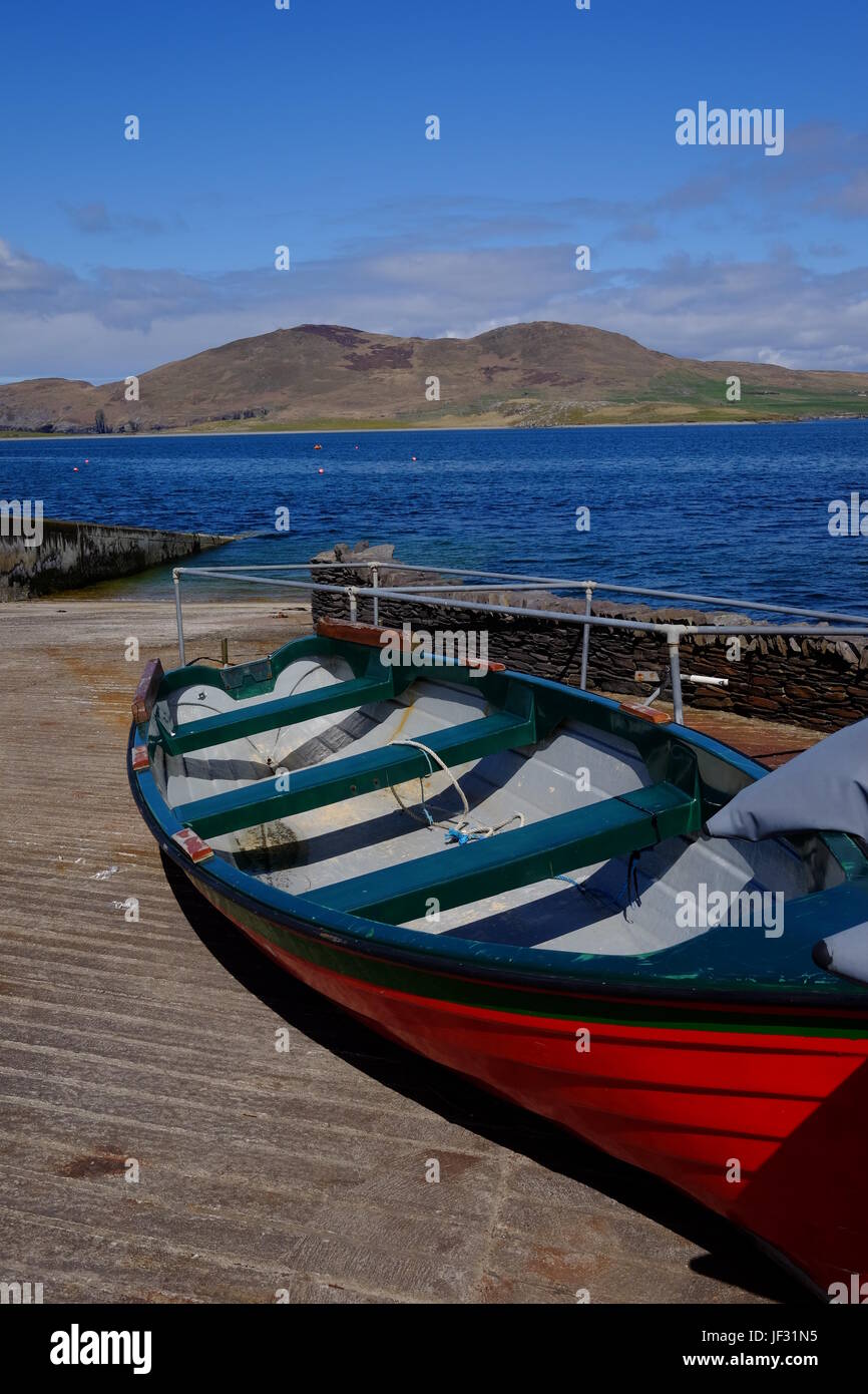 Boot am Slipway am Knightstown, Valentia Island, County Kerry, Irland entlang der Ring of Kerry und die Wild Atlantic Way Stockfotohttps://www.alamy.de/image-license-details/?v=1https://www.alamy.de/stockfoto-boot-am-slipway-am-knightstown-valentia-island-county-kerry-irland-entlang-der-ring-of-kerry-und-die-wild-atlantic-way-146970017.html
RMJF31N5–Boot am Slipway am Knightstown, Valentia Island, County Kerry, Irland entlang der Ring of Kerry und die Wild Atlantic Way
 Scariff Island, Deenish Island, Ring of Kerry, Irland Stockfotohttps://www.alamy.de/image-license-details/?v=1https://www.alamy.de/stockfoto-scariff-island-deenish-island-ring-of-kerry-irland-105751473.html
RFG41B29–Scariff Island, Deenish Island, Ring of Kerry, Irland
 Panoramablick auf Derrynane Ogham Stone Beach, an der Ring of Kerry Route, Irland Stockfotohttps://www.alamy.de/image-license-details/?v=1https://www.alamy.de/panoramablick-auf-derrynane-ogham-stone-beach-an-der-ring-of-kerry-route-irland-image369428303.html
RF2CD0WFY–Panoramablick auf Derrynane Ogham Stone Beach, an der Ring of Kerry Route, Irland
 Irland, Munster, County Kerry, Ring of Kerry, Caherciveen, Ballycarbery Castle, Stockfotohttps://www.alamy.de/image-license-details/?v=1https://www.alamy.de/stockfoto-irland-munster-county-kerry-ring-of-kerry-caherciveen-ballycarbery-castle-140638113.html
RMJ4PH9N–Irland, Munster, County Kerry, Ring of Kerry, Caherciveen, Ballycarbery Castle,
 Schäferhund Versuche in Caitins, Kells, Ring of Kerry, die Iveragh Halbinsel, County Kerry, Irland, Europa. September 2016. Stockfotohttps://www.alamy.de/image-license-details/?v=1https://www.alamy.de/schaferhund-versuche-in-caitins-kells-ring-of-kerry-die-iveragh-halbinsel-county-kerry-irland-europa-september-2016-image156485628.html
RMK2GF0C–Schäferhund Versuche in Caitins, Kells, Ring of Kerry, die Iveragh Halbinsel, County Kerry, Irland, Europa. September 2016.
 Portmagee gegenüber Valentia Island auf dem Ring of Kerry, Eire. Stockfotohttps://www.alamy.de/image-license-details/?v=1https://www.alamy.de/stockfoto-portmagee-gegenuber-valentia-island-auf-dem-ring-of-kerry-eire-27721187.html
RFBH2PJB–Portmagee gegenüber Valentia Island auf dem Ring of Kerry, Eire.
