Ring of kerry Schwarz-Weiß-Archivfotos
 In Wexford County Kerry, am Ring of Kerry route Stockfotohttps://www.alamy.de/image-license-details/?v=1https://www.alamy.de/in-wexford-county-kerry-am-ring-of-kerry-route-image154127208.html
RMJXN2R4–In Wexford County Kerry, am Ring of Kerry route
 Ripples in the Sand, Backlight, White Strand, Castlecove, Ring of Kerry Panoramic Road, Atlantic Coast, Iveragh Peninsula, Irland Stockfotohttps://www.alamy.de/image-license-details/?v=1https://www.alamy.de/ripples-in-the-sand-backlight-white-strand-castlecove-ring-of-kerry-panoramic-road-atlantic-coast-iveragh-peninsula-irland-image454832612.html
RF2HBYBHT–Ripples in the Sand, Backlight, White Strand, Castlecove, Ring of Kerry Panoramic Road, Atlantic Coast, Iveragh Peninsula, Irland
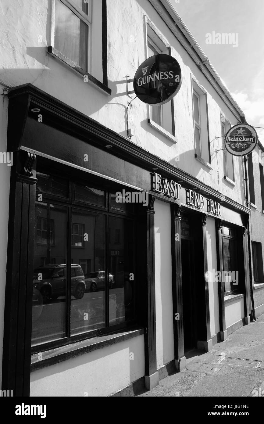 Das East End Bar in Cahersiveen, County Kerry, Irland entlang der Ring of Kerry und die Wild Atlantic Way Stockfotohttps://www.alamy.de/image-license-details/?v=1https://www.alamy.de/stockfoto-das-east-end-bar-in-cahersiveen-county-kerry-irland-entlang-der-ring-of-kerry-und-die-wild-atlantic-way-146970026.html
RMJF31NE–Das East End Bar in Cahersiveen, County Kerry, Irland entlang der Ring of Kerry und die Wild Atlantic Way
 Schwarze und Weiße Antenne Birds Eye Landschaft aus dem Ring of Kerry, Irland. landschaftlich wunderschöne Nationalpark. Stockfotohttps://www.alamy.de/image-license-details/?v=1https://www.alamy.de/stockfoto-schwarze-und-weisse-antenne-birds-eye-landschaft-aus-dem-ring-of-kerry-irland-landschaftlich-wunderschone-nationalpark-176630844.html
RMM7A6CC–Schwarze und Weiße Antenne Birds Eye Landschaft aus dem Ring of Kerry, Irland. landschaftlich wunderschöne Nationalpark.
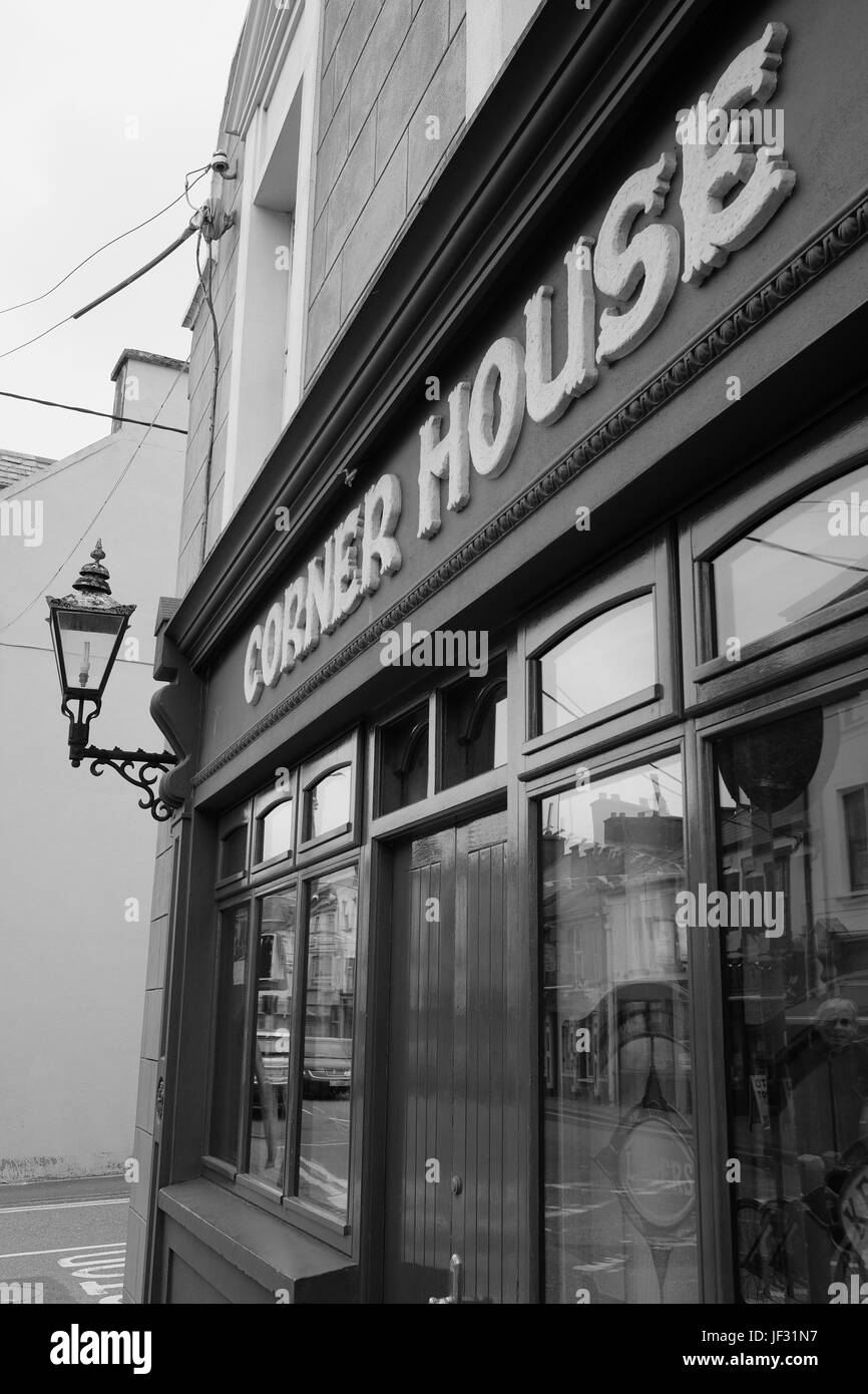 Das Eckhaus Pub auf West Main Street in Cahersiveen, County Kerry, Irland auf den Ring of Kerry-Route und die Wild Atlantic Way Stockfotohttps://www.alamy.de/image-license-details/?v=1https://www.alamy.de/stockfoto-das-eckhaus-pub-auf-west-main-street-in-cahersiveen-county-kerry-irland-auf-den-ring-of-kerry-route-und-die-wild-atlantic-way-146970019.html
RMJF31N7–Das Eckhaus Pub auf West Main Street in Cahersiveen, County Kerry, Irland auf den Ring of Kerry-Route und die Wild Atlantic Way
 Majestätisches Pferd auf dem Ring of Kerry, Irland - John Gollop Stockfotohttps://www.alamy.de/image-license-details/?v=1https://www.alamy.de/majestatisches-pferd-auf-dem-ring-of-kerry-irland-john-gollop-image430395905.html
RM2G066A9–Majestätisches Pferd auf dem Ring of Kerry, Irland - John Gollop
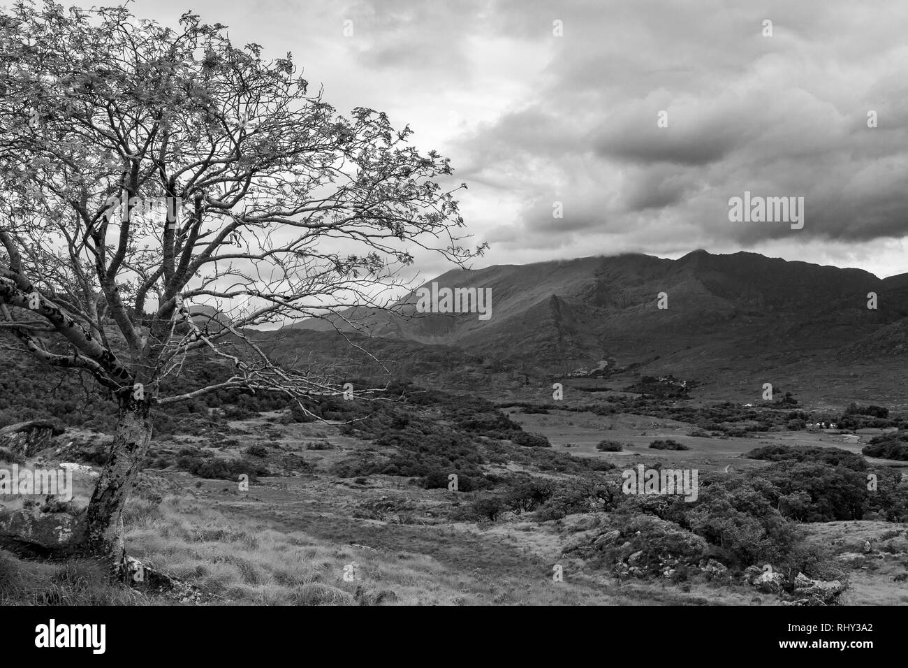 Einzelbaum in den Bergen am Ring of Kerry, Irland (Schwarzweiß) Stockfotohttps://www.alamy.de/image-license-details/?v=1https://www.alamy.de/einzelbaum-in-den-bergen-am-ring-of-kerry-irland-schwarzweiss-image234779274.html
RFRHY3A2–Einzelbaum in den Bergen am Ring of Kerry, Irland (Schwarzweiß)
 Dramatischer Himmel am Strand von Derrynane am Ring of Kerry, County Kerry, Irland - John Gollop Stockfotohttps://www.alamy.de/image-license-details/?v=1https://www.alamy.de/dramatischer-himmel-am-strand-von-derrynane-am-ring-of-kerry-county-kerry-irland-john-gollop-image479735215.html
RM2JTDR4F–Dramatischer Himmel am Strand von Derrynane am Ring of Kerry, County Kerry, Irland - John Gollop
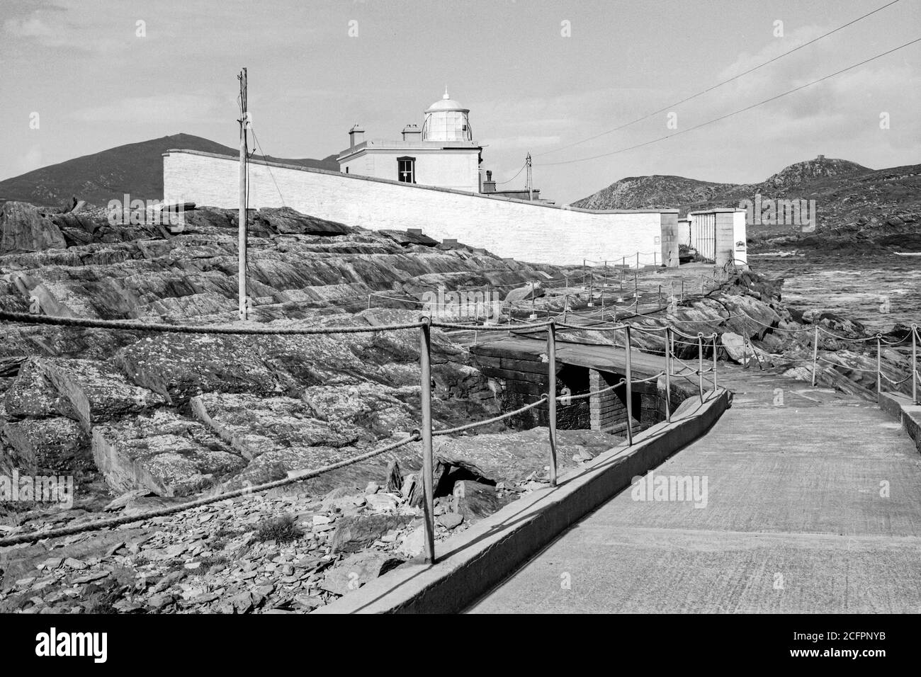 Valentia Island Lighthouse, County Kerry, Irland Stockfotohttps://www.alamy.de/image-license-details/?v=1https://www.alamy.de/valentia-island-lighthouse-county-kerry-irland-image371137743.html
RM2CFPNYB–Valentia Island Lighthouse, County Kerry, Irland
 Einbruch der Dunkelheit im 19. Jahrhundert, Scottish Baronial Stil Royal Irish Constabulary (RIC) Barracks - jetzt ein Heritage Centre, Cahirciveen, Ring of Kerry, Stockfotohttps://www.alamy.de/image-license-details/?v=1https://www.alamy.de/einbruch-der-dunkelheit-im-19-jahrhundert-scottish-baronial-stil-royal-irish-constabulary-ric-barracks-jetzt-ein-heritage-centre-cahirciveen-ring-of-kerry-image360044375.html
RM2BWNC7K–Einbruch der Dunkelheit im 19. Jahrhundert, Scottish Baronial Stil Royal Irish Constabulary (RIC) Barracks - jetzt ein Heritage Centre, Cahirciveen, Ring of Kerry,
 Ring of Kerry Irland Stockfotohttps://www.alamy.de/image-license-details/?v=1https://www.alamy.de/ring-of-kerry-irland-image340368666.html
RF2ANN3KP–Ring of Kerry Irland
 Basstölpel Kolonie auf kleine Skellig Rock, County Kerry, Irland Stockfotohttps://www.alamy.de/image-license-details/?v=1https://www.alamy.de/stockfoto-basstolpel-kolonie-auf-kleine-skellig-rock-county-kerry-irland-147288357.html
RMJFHFPD–Basstölpel Kolonie auf kleine Skellig Rock, County Kerry, Irland
 Irish Road, Molls Gap, County Kerry - John Gollop Stockfotohttps://www.alamy.de/image-license-details/?v=1https://www.alamy.de/irish-road-molls-gap-county-kerry-john-gollop-image431185000.html
RM2G1E4T8–Irish Road, Molls Gap, County Kerry - John Gollop
 Blick vom Gap of Dunloe in County Kerry, Irland. Die Sonnenstrahlen strömen über die Berge und in das Tal darunter. Stockfotohttps://www.alamy.de/image-license-details/?v=1https://www.alamy.de/blick-vom-gap-of-dunloe-in-county-kerry-irland-die-sonnenstrahlen-stromen-uber-die-berge-und-in-das-tal-darunter-image550340241.html
RF2PYA4GH–Blick vom Gap of Dunloe in County Kerry, Irland. Die Sonnenstrahlen strömen über die Berge und in das Tal darunter.
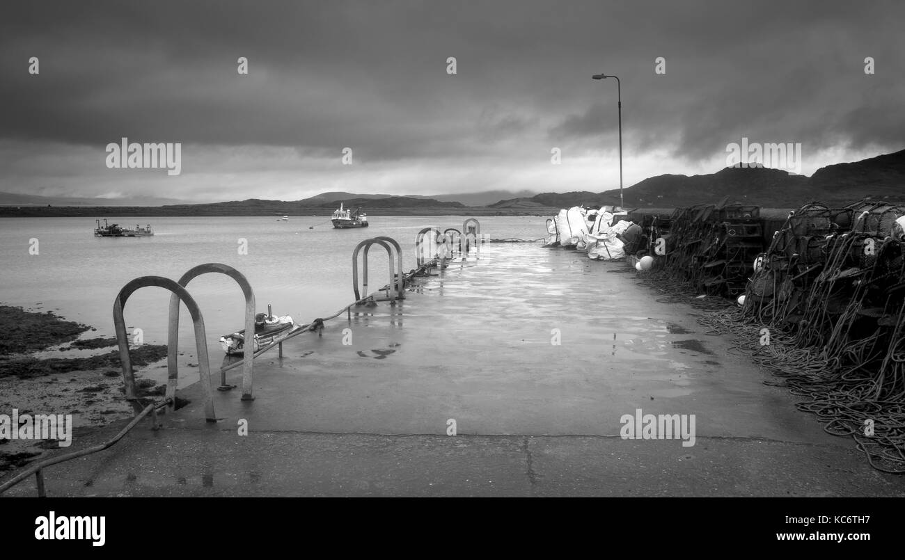 Kai Bunaw, Beara Halbinsel Ring of Kerry, Irland suchen Stockfotohttps://www.alamy.de/image-license-details/?v=1https://www.alamy.de/stockfoto-kai-bunaw-beara-halbinsel-ring-of-kerry-irland-suchen-162420195.html
RMKC6TH7–Kai Bunaw, Beara Halbinsel Ring of Kerry, Irland suchen
 Eine fantastische Nordatlantik Landschaft auf einem Moody irischen Tag. Die Stadt Häuser mit Blick auf den Strand und das Meer. Dabei langen Belichtungszeit. Stockfotohttps://www.alamy.de/image-license-details/?v=1https://www.alamy.de/stockfoto-eine-fantastische-nordatlantik-landschaft-auf-einem-moody-irischen-tag-die-stadt-hauser-mit-blick-auf-den-strand-und-das-meer-dabei-langen-belichtungszeit-172505866.html
RFM0J8YP–Eine fantastische Nordatlantik Landschaft auf einem Moody irischen Tag. Die Stadt Häuser mit Blick auf den Strand und das Meer. Dabei langen Belichtungszeit.
 Lücke von Dunloe - lange und kurvige Straße Stockfotohttps://www.alamy.de/image-license-details/?v=1https://www.alamy.de/stockfoto-lucke-von-dunloe-lange-und-kurvige-strasse-160656618.html
RMK9AF4A–Lücke von Dunloe - lange und kurvige Straße
 Europa, Westeuropa, Irland, Republik Irland, County Kerry, Ring of Kerry, Kenmare River Intertidal Bay Stockfotohttps://www.alamy.de/image-license-details/?v=1https://www.alamy.de/europa-westeuropa-irland-republik-irland-county-kerry-ring-of-kerry-kenmare-river-intertidal-bay-image485239371.html
RM2K5CFNF–Europa, Westeuropa, Irland, Republik Irland, County Kerry, Ring of Kerry, Kenmare River Intertidal Bay
 Berge und Klippen an der Conor Pass auf den wilden Atlantik der Kerry Way Stockfotohttps://www.alamy.de/image-license-details/?v=1https://www.alamy.de/berge-und-klippen-an-der-conor-pass-auf-den-wilden-atlantik-der-kerry-way-image260412998.html
RFW3JRC6–Berge und Klippen an der Conor Pass auf den wilden Atlantik der Kerry Way
 Ein Blick auf die Felsen auf der Looscaunagh Lough See am Ring of Kerry im Nationalpark Killarney Irland, an einem bewölkten Tag Stockfotohttps://www.alamy.de/image-license-details/?v=1https://www.alamy.de/ein-blick-auf-die-felsen-auf-der-looscaunagh-lough-see-am-ring-of-kerry-im-nationalpark-killarney-irland-an-einem-bewolkten-tag-image258727693.html
RFW0X1PN–Ein Blick auf die Felsen auf der Looscaunagh Lough See am Ring of Kerry im Nationalpark Killarney Irland, an einem bewölkten Tag
 Sandstrand in der Bucht bei Ebbe, Weißer Strand, Castlecove, Ring of Kerry Panoramastraße, Atlantikküste, Iveragh Halbinsel, Irland Stockfotohttps://www.alamy.de/image-license-details/?v=1https://www.alamy.de/sandstrand-in-der-bucht-bei-ebbe-weisser-strand-castlecove-ring-of-kerry-panoramastrasse-atlantikkuste-iveragh-halbinsel-irland-image454832597.html
RF2HBYBH9–Sandstrand in der Bucht bei Ebbe, Weißer Strand, Castlecove, Ring of Kerry Panoramastraße, Atlantikküste, Iveragh Halbinsel, Irland
 Schwarz / weiß Foto eines Baches herab, einem Hügel in der Ballaghbeama Lücke, Ring of Kerry, Irland Stockfotohttps://www.alamy.de/image-license-details/?v=1https://www.alamy.de/stockfoto-schwarz-weiss-foto-eines-baches-herab-einem-hugel-in-der-ballaghbeama-lucke-ring-of-kerry-irland-21568923.html
RFB72FAK–Schwarz / weiß Foto eines Baches herab, einem Hügel in der Ballaghbeama Lücke, Ring of Kerry, Irland
 Schwarze und Weiße Antenne Birds Eye Landschaft aus dem Ring of Kerry, Irland. landschaftlich wunderschöne Nationalpark. Stockfotohttps://www.alamy.de/image-license-details/?v=1https://www.alamy.de/stockfoto-schwarze-und-weisse-antenne-birds-eye-landschaft-aus-dem-ring-of-kerry-irland-landschaftlich-wunderschone-nationalpark-176630852.html
RMM7A6CM–Schwarze und Weiße Antenne Birds Eye Landschaft aus dem Ring of Kerry, Irland. landschaftlich wunderschöne Nationalpark.
 Butlers Denkmal in Waterville, County Kerry, Irland Stockfotohttps://www.alamy.de/image-license-details/?v=1https://www.alamy.de/butlers-denkmal-in-waterville-county-kerry-irland-image154127220.html
RMJXN2RG–Butlers Denkmal in Waterville, County Kerry, Irland
 Torc Mountain steigt von den Ufern des Muckross Lake in den Killarney National Park in der irischen Grafschaft Kerry. Stockfotohttps://www.alamy.de/image-license-details/?v=1https://www.alamy.de/stockfoto-torc-mountain-steigt-von-den-ufern-des-muckross-lake-in-den-killarney-national-park-in-der-irischen-grafschaft-kerry-169285773.html
RFKRBHMD–Torc Mountain steigt von den Ufern des Muckross Lake in den Killarney National Park in der irischen Grafschaft Kerry.
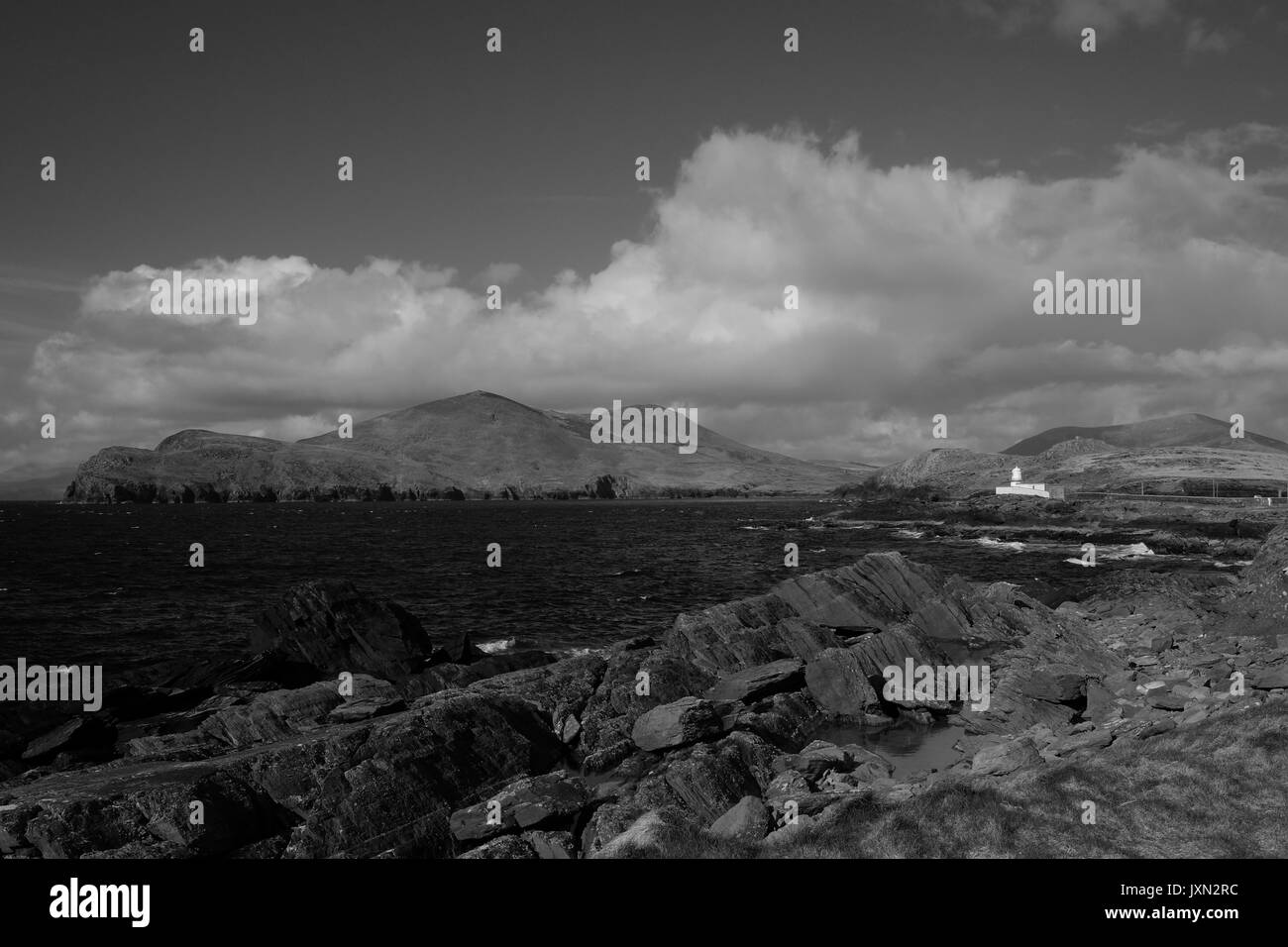 Valentia Island im County Kerry, Irland Stockfotohttps://www.alamy.de/image-license-details/?v=1https://www.alamy.de/valentia-island-im-county-kerry-irland-image154127216.html
RMJXN2RC–Valentia Island im County Kerry, Irland
 Zeichen in Kenmare, County Kerry am Markttag. Stockfotohttps://www.alamy.de/image-license-details/?v=1https://www.alamy.de/stockfoto-zeichen-in-kenmare-county-kerry-am-markttag-101671803.html
RMFWBFBR–Zeichen in Kenmare, County Kerry am Markttag.
 Valentia Island mit den Skellig Rocks in der Ferne im County Kerry, Irland Stockfotohttps://www.alamy.de/image-license-details/?v=1https://www.alamy.de/valentia-island-mit-den-skellig-rocks-in-der-ferne-im-county-kerry-irland-image154127229.html
RMJXN2RW–Valentia Island mit den Skellig Rocks in der Ferne im County Kerry, Irland
 Kenmare Bay, County Kerry, Irland. Gezeitenarm an einem wolkigen Tag. Stockfotohttps://www.alamy.de/image-license-details/?v=1https://www.alamy.de/kenmare-bay-county-kerry-irland-gezeitenarm-an-einem-wolkigen-tag-image416887530.html
RF2F66T8A–Kenmare Bay, County Kerry, Irland. Gezeitenarm an einem wolkigen Tag.
 Panorama von Valentia Island im County Kerry, Irland Stockfotohttps://www.alamy.de/image-license-details/?v=1https://www.alamy.de/panorama-von-valentia-island-im-county-kerry-irland-image154127217.html
RMJXN2RD–Panorama von Valentia Island im County Kerry, Irland
 Ring of Kerry Irland Stockfotohttps://www.alamy.de/image-license-details/?v=1https://www.alamy.de/ring-of-kerry-irland-image340368840.html
RF2ANN3X0–Ring of Kerry Irland
 Irish Road, Molls Gap, County Kerry - John Gollop Stockfotohttps://www.alamy.de/image-license-details/?v=1https://www.alamy.de/irish-road-molls-gap-county-kerry-john-gollop-image431185053.html
RM2G1E4X5–Irish Road, Molls Gap, County Kerry - John Gollop
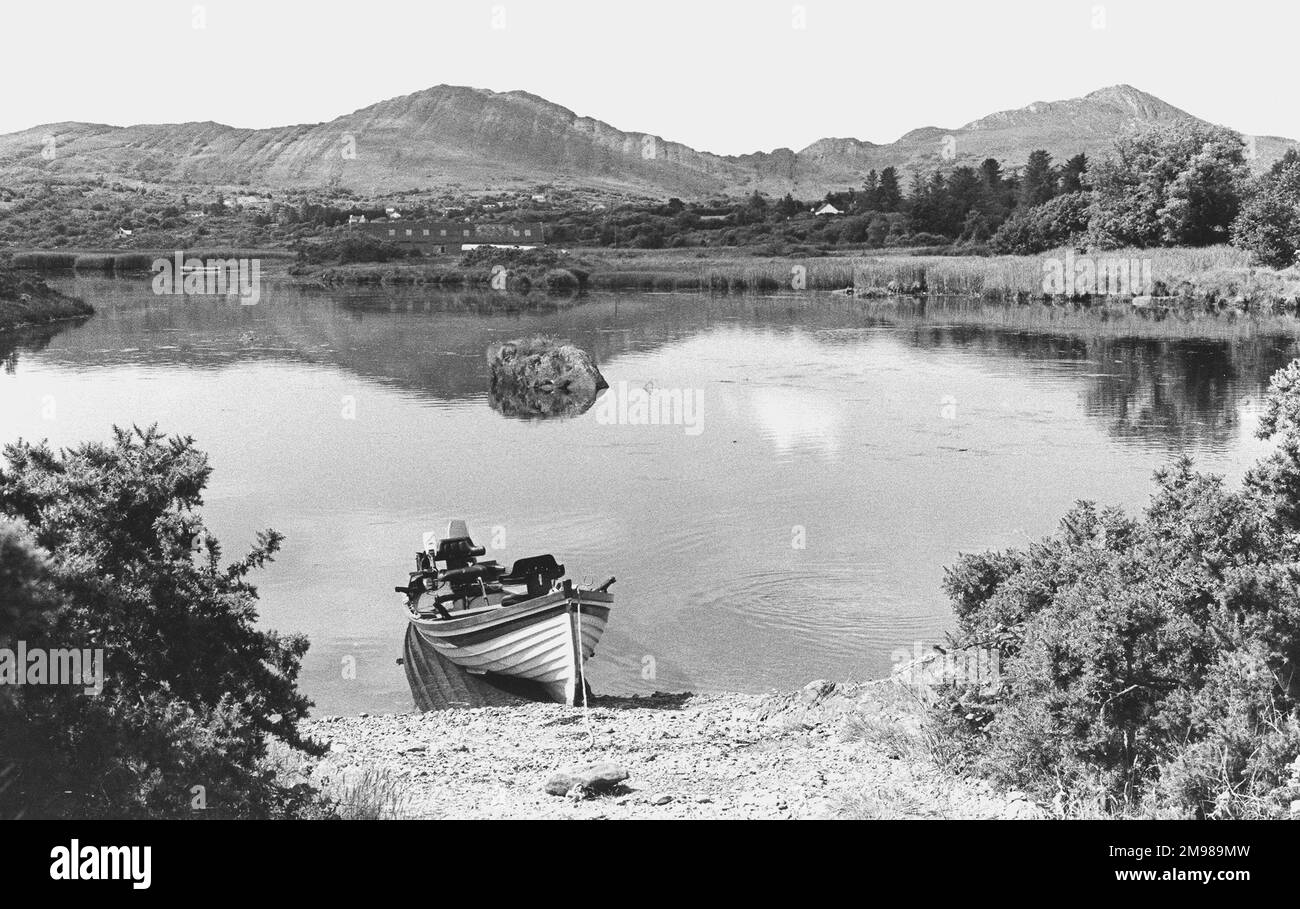 Blick auf den Ring of Kerry, County Kerry, Südwesten Irlands. Stockfotohttps://www.alamy.de/image-license-details/?v=1https://www.alamy.de/blick-auf-den-ring-of-kerry-county-kerry-sudwesten-irlands-image504815833.html
RM2M989MW–Blick auf den Ring of Kerry, County Kerry, Südwesten Irlands.
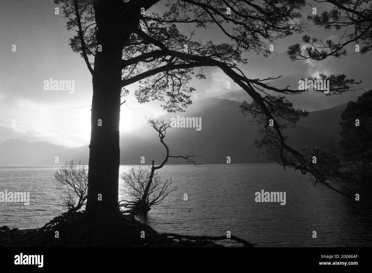 Schwarz-Weiß-Bild von Lough Leane, County Kerry, Irland - John Gollop Stockfotohttps://www.alamy.de/image-license-details/?v=1https://www.alamy.de/schwarz-weiss-bild-von-lough-leane-county-kerry-irland-john-gollop-image430395911.html
RM2G066AF–Schwarz-Weiß-Bild von Lough Leane, County Kerry, Irland - John Gollop
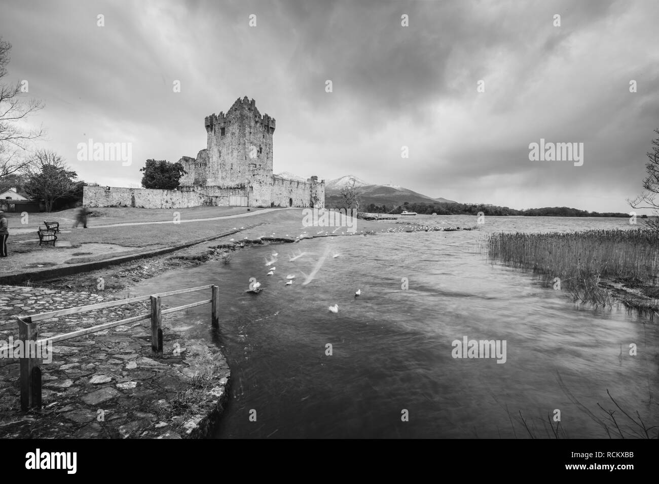 Ross Castle, Killarney, Co.Kerry, Irland Stockfotohttps://www.alamy.de/image-license-details/?v=1https://www.alamy.de/ross-castle-killarney-cokerry-irland-image231548447.html
RFRCKXBB–Ross Castle, Killarney, Co.Kerry, Irland
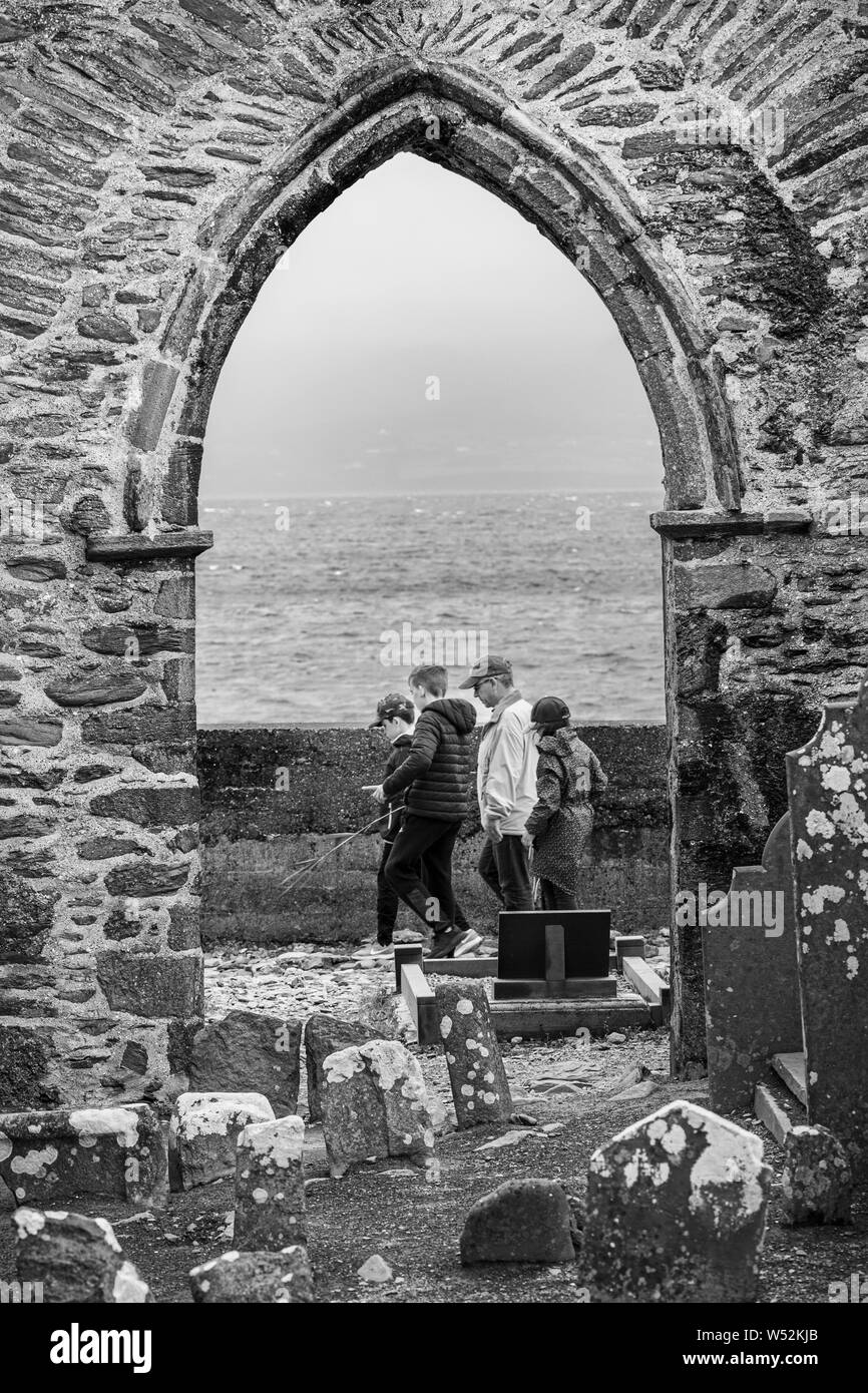 Familie Gruppe durch steinernen Torbogen der verfallenen Abtei in Connemara, County Kerry, Irland, Stockfotohttps://www.alamy.de/image-license-details/?v=1https://www.alamy.de/familie-gruppe-durch-steinernen-torbogen-der-verfallenen-abtei-in-connemara-county-kerry-irland-image261288115.html
RMW52KJB–Familie Gruppe durch steinernen Torbogen der verfallenen Abtei in Connemara, County Kerry, Irland,
 Europa, Westeuropa, Irland, Republik Irland, County Kerry, Ring of Kerry, Kenmare River Intertidal Bay Stockfotohttps://www.alamy.de/image-license-details/?v=1https://www.alamy.de/europa-westeuropa-irland-republik-irland-county-kerry-ring-of-kerry-kenmare-river-intertidal-bay-image485239381.html
RM2K5CFNW–Europa, Westeuropa, Irland, Republik Irland, County Kerry, Ring of Kerry, Kenmare River Intertidal Bay
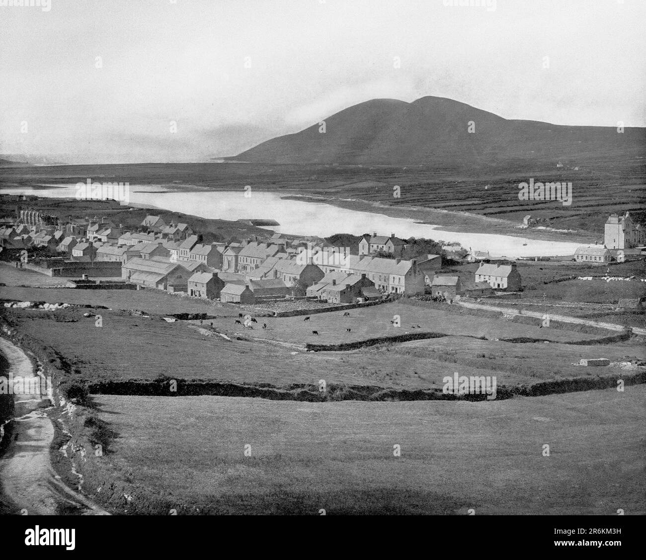 Ein Blick aus dem späten 18. Jahrhundert auf Cahersiveen, eine Stadt in der Grafschaft Kerry, Irland. Die Stadt liegt am Ring of Kerry, am Fuße des Beentee Mountain, am Fluss Fertha und mit Blick auf den Hafen von Valentia. Stockfotohttps://www.alamy.de/image-license-details/?v=1https://www.alamy.de/ein-blick-aus-dem-spaten-18-jahrhundert-auf-cahersiveen-eine-stadt-in-der-grafschaft-kerry-irland-die-stadt-liegt-am-ring-of-kerry-am-fusse-des-beentee-mountain-am-fluss-fertha-und-mit-blick-auf-den-hafen-von-valentia-image554852581.html
RM2R6KM3H–Ein Blick aus dem späten 18. Jahrhundert auf Cahersiveen, eine Stadt in der Grafschaft Kerry, Irland. Die Stadt liegt am Ring of Kerry, am Fuße des Beentee Mountain, am Fluss Fertha und mit Blick auf den Hafen von Valentia.
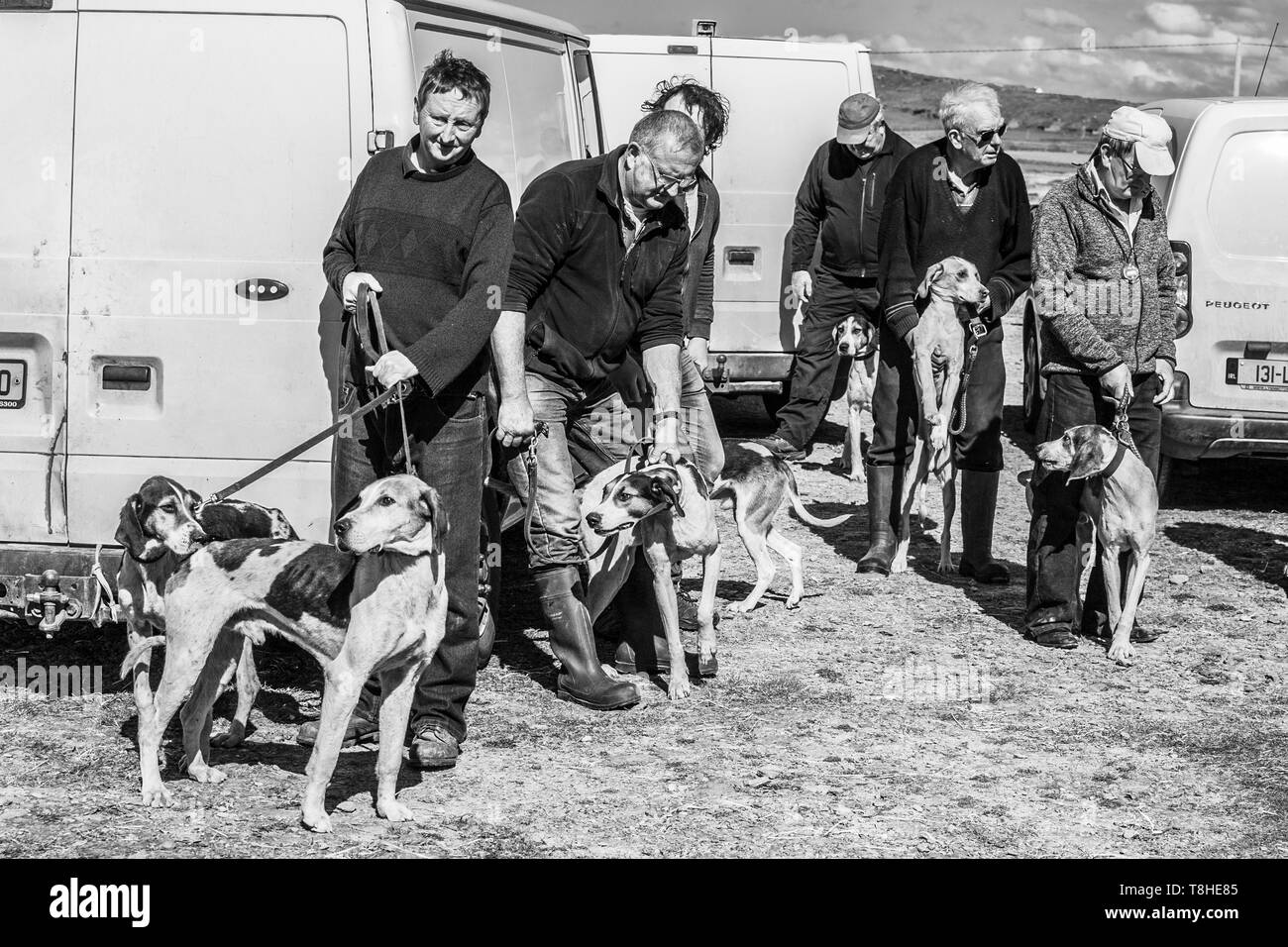 Jagd Rennen treffen Ziehen, Valentia Island, County Kerry, Irland Stockfotohttps://www.alamy.de/image-license-details/?v=1https://www.alamy.de/jagd-rennen-treffen-ziehen-valentia-island-county-kerry-irland-image246246789.html
RMT8HE85–Jagd Rennen treffen Ziehen, Valentia Island, County Kerry, Irland
 Zwei felsige Inseln im Meer bei Sonnenuntergang, Skellig Michael und Little Skellig, Skellig Ring Panoramastraße, Portmagee, Iveragh Peninsula, Kerry, Irland Stockfotohttps://www.alamy.de/image-license-details/?v=1https://www.alamy.de/zwei-felsige-inseln-im-meer-bei-sonnenuntergang-skellig-michael-und-little-skellig-skellig-ring-panoramastrasse-portmagee-iveragh-peninsula-kerry-irland-image454832622.html
RF2HBYBJ6–Zwei felsige Inseln im Meer bei Sonnenuntergang, Skellig Michael und Little Skellig, Skellig Ring Panoramastraße, Portmagee, Iveragh Peninsula, Kerry, Irland
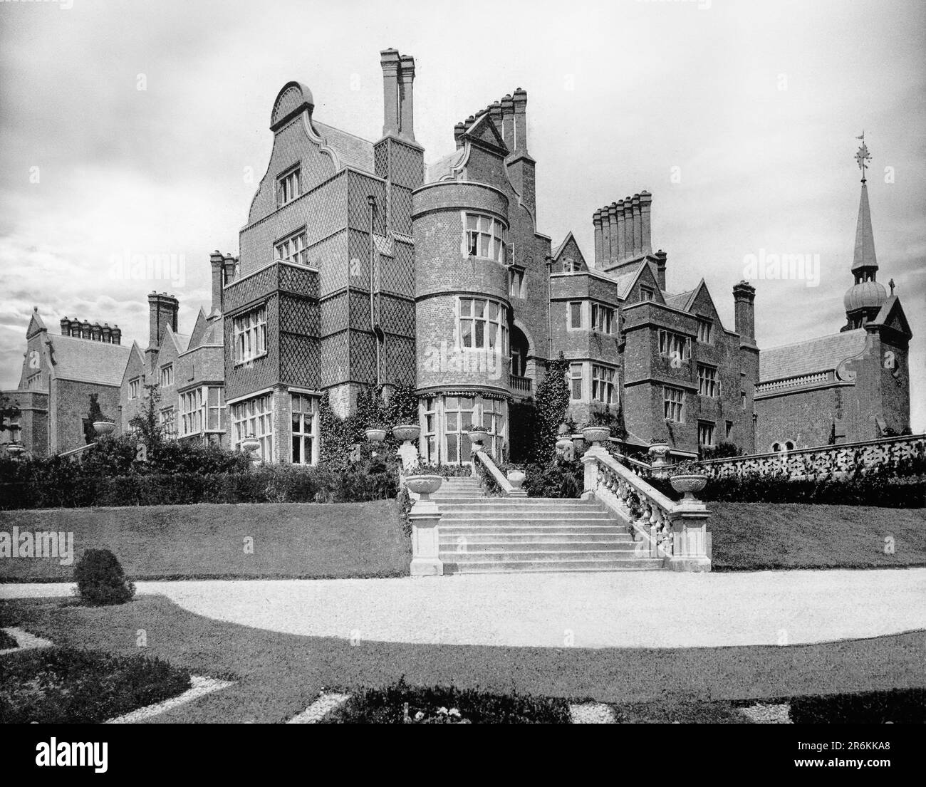 Das Killarney House aus dem späten 19. Jahrhundert, ein irisches Landhaus in Killarney, County Kerry, mit Blick auf Lough Leane. Erbaut vom 4. Earl of Kenmare im Jahr 1872 und gilt als eines der schönsten Villen in Irland, wurde es jedoch zweimal abgebrannt - einmal im Jahr 1879, kurz nach seiner Fertigstellung, und wieder und schließlich im August 1913 und nie wieder neu aufgebaut. Stockfotohttps://www.alamy.de/image-license-details/?v=1https://www.alamy.de/das-killarney-house-aus-dem-spaten-19-jahrhundert-ein-irisches-landhaus-in-killarney-county-kerry-mit-blick-auf-lough-leane-erbaut-vom-4-earl-of-kenmare-im-jahr-1872-und-gilt-als-eines-der-schonsten-villen-in-irland-wurde-es-jedoch-zweimal-abgebrannt-einmal-im-jahr-1879-kurz-nach-seiner-fertigstellung-und-wieder-und-schliesslich-im-august-1913-und-nie-wieder-neu-aufgebaut-image554851984.html
RM2R6KKA8–Das Killarney House aus dem späten 19. Jahrhundert, ein irisches Landhaus in Killarney, County Kerry, mit Blick auf Lough Leane. Erbaut vom 4. Earl of Kenmare im Jahr 1872 und gilt als eines der schönsten Villen in Irland, wurde es jedoch zweimal abgebrannt - einmal im Jahr 1879, kurz nach seiner Fertigstellung, und wieder und schließlich im August 1913 und nie wieder neu aufgebaut.
 Schwarze und Weiße Antenne Birds Eye Landschaft aus dem Ring of Kerry, Irland. landschaftlich wunderschöne Nationalpark. Stockfotohttps://www.alamy.de/image-license-details/?v=1https://www.alamy.de/stockfoto-schwarze-und-weisse-antenne-birds-eye-landschaft-aus-dem-ring-of-kerry-irland-landschaftlich-wunderschone-nationalpark-176630843.html
RMM7A6CB–Schwarze und Weiße Antenne Birds Eye Landschaft aus dem Ring of Kerry, Irland. landschaftlich wunderschöne Nationalpark.
 Berge und Klippen an der Conor Pass auf den wilden Atlantik der Kerry Way Stockfotohttps://www.alamy.de/image-license-details/?v=1https://www.alamy.de/berge-und-klippen-an-der-conor-pass-auf-den-wilden-atlantik-der-kerry-way-image240700406.html
RFRYGRR2–Berge und Klippen an der Conor Pass auf den wilden Atlantik der Kerry Way
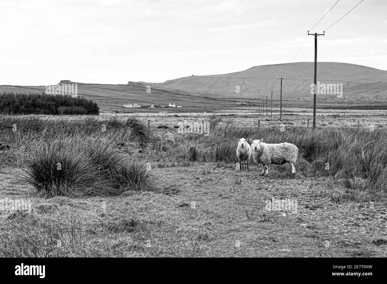 Country-Szene in der Nähe von Portmagee, County Kerry, Irland Stockfotohttps://www.alamy.de/image-license-details/?v=1https://www.alamy.de/country-szene-in-der-nahe-von-portmagee-county-kerry-irland-image400668657.html
RM2E7T0XW–Country-Szene in der Nähe von Portmagee, County Kerry, Irland
 Berge und Klippen an der Conor Pass auf den wilden Atlantik der Kerry Way Stockfotohttps://www.alamy.de/image-license-details/?v=1https://www.alamy.de/berge-und-klippen-an-der-conor-pass-auf-den-wilden-atlantik-der-kerry-way-image358259317.html
RF2BPT3BH–Berge und Klippen an der Conor Pass auf den wilden Atlantik der Kerry Way
 Landzunge und dem Zulauf des Ring of Kerry in Irland mit Blick auf die entgegenkommenden Dünung und Wellen Stockfotohttps://www.alamy.de/image-license-details/?v=1https://www.alamy.de/stockfoto-landzunge-und-dem-zulauf-des-ring-of-kerry-in-irland-mit-blick-auf-die-entgegenkommenden-dunung-und-wellen-15702448.html
RMAP7M4H–Landzunge und dem Zulauf des Ring of Kerry in Irland mit Blick auf die entgegenkommenden Dünung und Wellen
 Die Felsen an der Küste des Kerry im Westen Irlands mit beara im Hintergrund Stockfotohttps://www.alamy.de/image-license-details/?v=1https://www.alamy.de/die-felsen-an-der-kuste-des-kerry-im-westen-irlands-mit-beara-im-hintergrund-image263358209.html
RFW8D029–Die Felsen an der Küste des Kerry im Westen Irlands mit beara im Hintergrund
 Kenmare Bay, County Kerry, Irland. Gezeitenarm an einem wolkigen Tag. Stockfotohttps://www.alamy.de/image-license-details/?v=1https://www.alamy.de/kenmare-bay-county-kerry-irland-gezeitenarm-an-einem-wolkigen-tag-image416888105.html
RF2F66W0W–Kenmare Bay, County Kerry, Irland. Gezeitenarm an einem wolkigen Tag.
 Panorama von Valentia Island im County Kerry, Irland Stockfotohttps://www.alamy.de/image-license-details/?v=1https://www.alamy.de/panorama-von-valentia-island-im-county-kerry-irland-image154127215.html
RMJXN2RB–Panorama von Valentia Island im County Kerry, Irland
 Ring of Kerry Irland Stockfotohttps://www.alamy.de/image-license-details/?v=1https://www.alamy.de/ring-of-kerry-irland-image340368841.html
RF2ANN3X1–Ring of Kerry Irland
 Valentia Island mit den Skellig Rocks in der Ferne im County Kerry, Irland Stockfotohttps://www.alamy.de/image-license-details/?v=1https://www.alamy.de/valentia-island-mit-den-skellig-rocks-in-der-ferne-im-county-kerry-irland-image154127227.html
RMJXN2RR–Valentia Island mit den Skellig Rocks in der Ferne im County Kerry, Irland
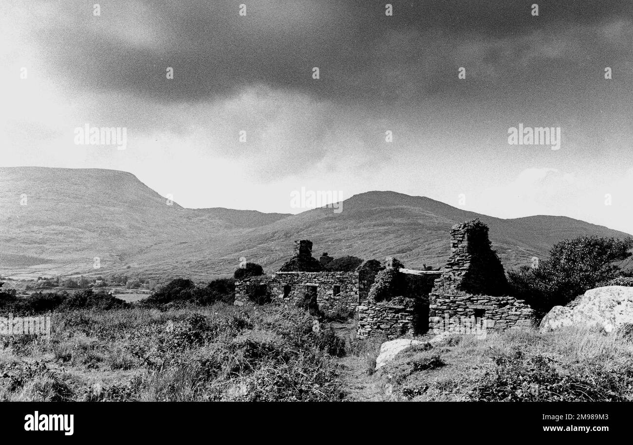 Zerstörte Hütte am Ring of Kerry, County Kerry, Südwesten Irlands. Stockfotohttps://www.alamy.de/image-license-details/?v=1https://www.alamy.de/zerstorte-hutte-am-ring-of-kerry-county-kerry-sudwesten-irlands-image504815811.html
RM2M989M3–Zerstörte Hütte am Ring of Kerry, County Kerry, Südwesten Irlands.
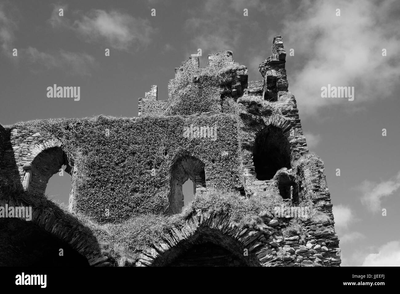 Ballycarbery Castle im County Kerry, Irland Stockfotohttps://www.alamy.de/image-license-details/?v=1https://www.alamy.de/stockfoto-ballycarbery-castle-im-county-kerry-irland-149065494.html
RMJJEEFJ–Ballycarbery Castle im County Kerry, Irland
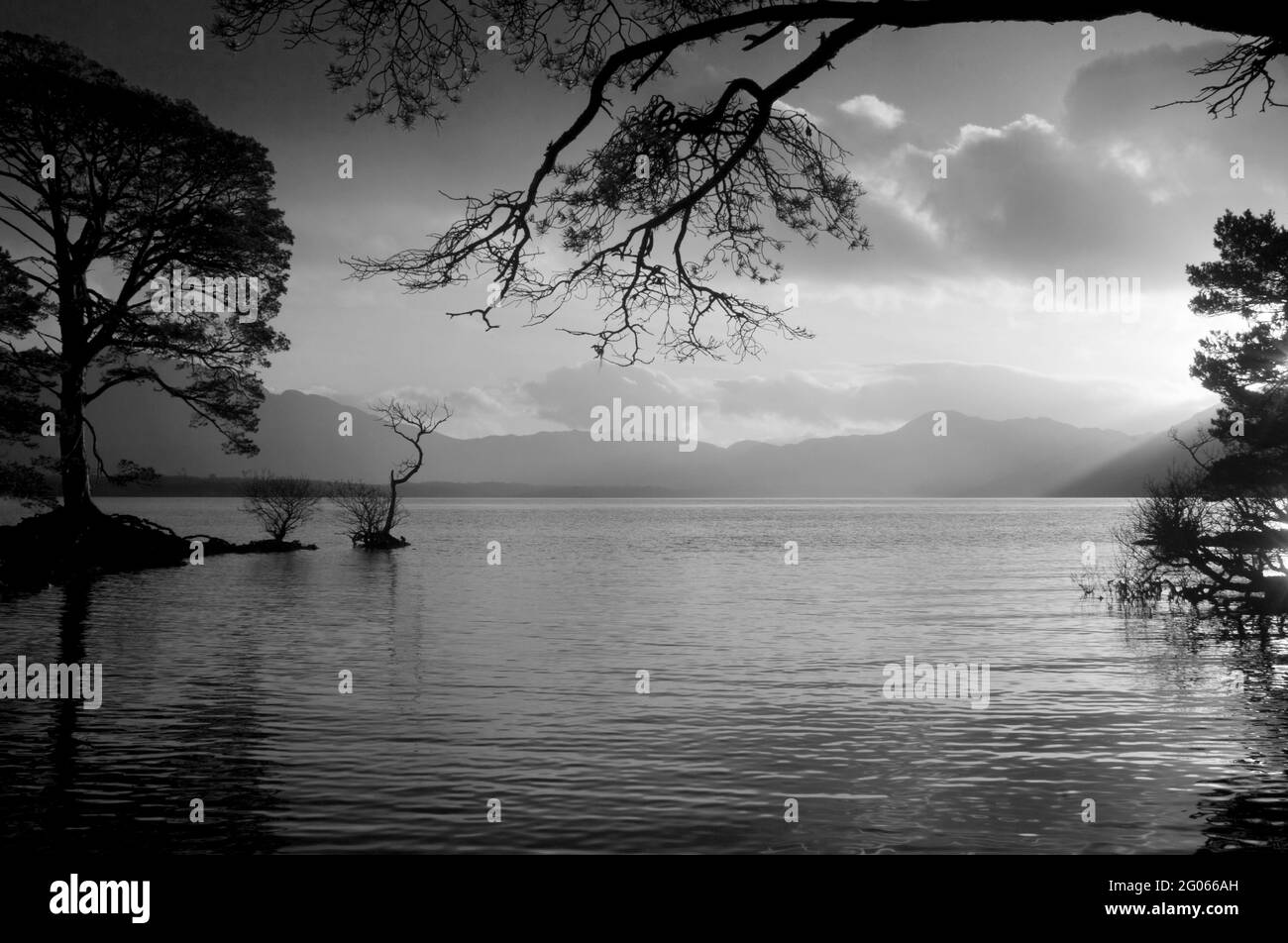 Schwarz-Weiß-Bild von Lough Leane, County Kerry, Irland - John Gollop Stockfotohttps://www.alamy.de/image-license-details/?v=1https://www.alamy.de/schwarz-weiss-bild-von-lough-leane-county-kerry-irland-john-gollop-image430395913.html
RM2G066AH–Schwarz-Weiß-Bild von Lough Leane, County Kerry, Irland - John Gollop
 Ein Blick auf das Ross Castle aus mit einer Person, die in der fernen der Maßstab der Schloss zu zeigen, an einem bewölkten Tag Stockfotohttps://www.alamy.de/image-license-details/?v=1https://www.alamy.de/ein-blick-auf-das-ross-castle-aus-mit-einer-person-die-in-der-fernen-der-massstab-der-schloss-zu-zeigen-an-einem-bewolkten-tag-image258729327.html
RFW0X3W3–Ein Blick auf das Ross Castle aus mit einer Person, die in der fernen der Maßstab der Schloss zu zeigen, an einem bewölkten Tag
 Europa, Westeuropa, Irland, Republik Irland, County Kerry, Ring of Kerry, Kenmare River Intertidal Bay Stockfotohttps://www.alamy.de/image-license-details/?v=1https://www.alamy.de/europa-westeuropa-irland-republik-irland-county-kerry-ring-of-kerry-kenmare-river-intertidal-bay-image485239385.html
RM2K5CFP1–Europa, Westeuropa, Irland, Republik Irland, County Kerry, Ring of Kerry, Kenmare River Intertidal Bay
 Die Küste am Kenmare River, County Kerry, Irland - John Gollop Stockfotohttps://www.alamy.de/image-license-details/?v=1https://www.alamy.de/die-kuste-am-kenmare-river-county-kerry-irland-john-gollop-image431185232.html
RM2G1E54G–Die Küste am Kenmare River, County Kerry, Irland - John Gollop
 Klassisches irisches Homestead mit grünem Gras, Bäumen und Hügeln Stockfotohttps://www.alamy.de/image-license-details/?v=1https://www.alamy.de/klassisches-irisches-homestead-mit-grunem-gras-baumen-und-hugeln-image633095078.html
RF2YNYY6E–Klassisches irisches Homestead mit grünem Gras, Bäumen und Hügeln
 Lough Leane, Killarny, Irland Stockfotohttps://www.alamy.de/image-license-details/?v=1https://www.alamy.de/stockfoto-lough-leane-killarny-irland-88470607.html
RMF3X54F–Lough Leane, Killarny, Irland
 Ein Picknick aus dem späten 19. Jahrhundert am Rande von Lough Leane, dem größten der drei Seen von Killarney, in County Kerry, Irland. Stockfotohttps://www.alamy.de/image-license-details/?v=1https://www.alamy.de/ein-picknick-aus-dem-spaten-19-jahrhundert-am-rande-von-lough-leane-dem-grossten-der-drei-seen-von-killarney-in-county-kerry-irland-image554851710.html
RM2R6KK0E–Ein Picknick aus dem späten 19. Jahrhundert am Rande von Lough Leane, dem größten der drei Seen von Killarney, in County Kerry, Irland.
 Schwarze und Weiße Antenne Birds Eye Landschaft aus dem Ring of Kerry, Irland. landschaftlich wunderschöne Nationalpark. Stockfotohttps://www.alamy.de/image-license-details/?v=1https://www.alamy.de/stockfoto-schwarze-und-weisse-antenne-birds-eye-landschaft-aus-dem-ring-of-kerry-irland-landschaftlich-wunderschone-nationalpark-176630842.html
RMM7A6CA–Schwarze und Weiße Antenne Birds Eye Landschaft aus dem Ring of Kerry, Irland. landschaftlich wunderschöne Nationalpark.
 Alltag In Irland Stockfotohttps://www.alamy.de/image-license-details/?v=1https://www.alamy.de/alltag-in-irland-image538075399.html
RF2P7BCJF–Alltag In Irland
 Country-Szene in der Nähe von Portmagee, County Kerry, Irland Stockfotohttps://www.alamy.de/image-license-details/?v=1https://www.alamy.de/country-szene-in-der-nahe-von-portmagee-county-kerry-irland-image400668878.html
RM2E7T16P–Country-Szene in der Nähe von Portmagee, County Kerry, Irland
 Berge und Klippen an der Conor Pass auf den wilden Atlantik der Kerry Way Stockfotohttps://www.alamy.de/image-license-details/?v=1https://www.alamy.de/berge-und-klippen-an-der-conor-pass-auf-den-wilden-atlantik-der-kerry-way-image358564748.html
RF2BRA0YT–Berge und Klippen an der Conor Pass auf den wilden Atlantik der Kerry Way
 Ballyferriter , auf der Halbinsel Dingle und in Richtung der drei Schwestern (Münster, Südwestirland) Stockfotohttps://www.alamy.de/image-license-details/?v=1https://www.alamy.de/ballyferriter-auf-der-halbinsel-dingle-und-in-richtung-der-drei-schwestern-munster-sudwestirland-image438478306.html
RM2GDABFE–Ballyferriter , auf der Halbinsel Dingle und in Richtung der drei Schwestern (Münster, Südwestirland)
 Sandhill am weißen Strand in der Nähe von Wexford Stockfotohttps://www.alamy.de/image-license-details/?v=1https://www.alamy.de/sandhill-am-weissen-strand-in-der-nahe-von-wexford-image241341383.html
RFT0J1B3–Sandhill am weißen Strand in der Nähe von Wexford
 Kenmare Bay, County Kerry, Irland. Gezeitenarm an einem wolkigen Tag. Stockfotohttps://www.alamy.de/image-license-details/?v=1https://www.alamy.de/kenmare-bay-county-kerry-irland-gezeitenarm-an-einem-wolkigen-tag-image416888316.html
RF2F66W8C–Kenmare Bay, County Kerry, Irland. Gezeitenarm an einem wolkigen Tag.
 Dramatische Küste Landschaft Stockfotohttps://www.alamy.de/image-license-details/?v=1https://www.alamy.de/stockfoto-dramatische-kuste-landschaft-50080620.html
RMCWDA9G–Dramatische Küste Landschaft
 Ring of Kerry Irland Stockfotohttps://www.alamy.de/image-license-details/?v=1https://www.alamy.de/ring-of-kerry-irland-image340368620.html
RF2ANN3J4–Ring of Kerry Irland
 Ross Castle in Killarney National Park, County Kerry, Irland Stockfotohttps://www.alamy.de/image-license-details/?v=1https://www.alamy.de/ross-castle-in-killarney-national-park-county-kerry-irland-image358013706.html
RM2BPCX3P–Ross Castle in Killarney National Park, County Kerry, Irland
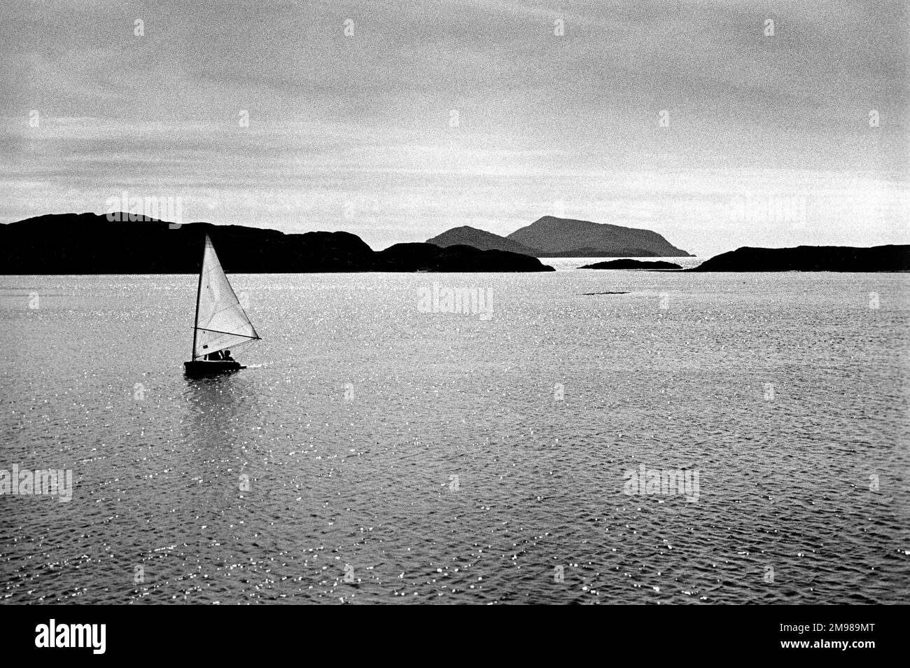 Segelboot an der Südwestküste Irlands am Ring of Kerry, County Kerry, Irland. Stockfotohttps://www.alamy.de/image-license-details/?v=1https://www.alamy.de/segelboot-an-der-sudwestkuste-irlands-am-ring-of-kerry-county-kerry-irland-image504815832.html
RM2M989MT–Segelboot an der Südwestküste Irlands am Ring of Kerry, County Kerry, Irland.
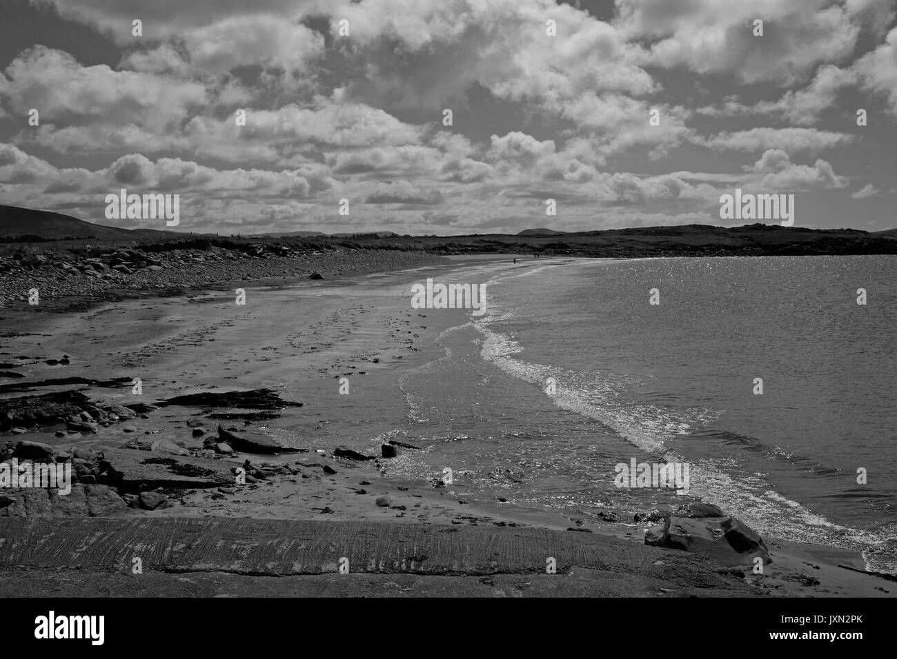 Die weißen Strand in der Nähe von Wexford an einem sonnigen Sommertag Stockfotohttps://www.alamy.de/image-license-details/?v=1https://www.alamy.de/die-weissen-strand-in-der-nahe-von-wexford-an-einem-sonnigen-sommertag-image154127195.html
RMJXN2PK–Die weißen Strand in der Nähe von Wexford an einem sonnigen Sommertag
 Uhrturm, Knightstown, Co Kerry, Irland Stockfotohttps://www.alamy.de/image-license-details/?v=1https://www.alamy.de/stockfoto-uhrturm-knightstown-co-kerry-irland-10905697.html
RMA41T2X–Uhrturm, Knightstown, Co Kerry, Irland
 Rossdohan Pier Parknasilla Sneem Irland Stockfotohttps://www.alamy.de/image-license-details/?v=1https://www.alamy.de/rossdohan-pier-parknasilla-sneem-irland-image2315635.html
RMA9W574–Rossdohan Pier Parknasilla Sneem Irland
 Europa, Westeuropa, Irland, Republik Irland, County Kerry, Ring of Kerry, Derrynane National Park, Sandstrand an der Derrynane Bay Stockfotohttps://www.alamy.de/image-license-details/?v=1https://www.alamy.de/europa-westeuropa-irland-republik-irland-county-kerry-ring-of-kerry-derrynane-national-park-sandstrand-an-der-derrynane-bay-image485239377.html
RM2K5CFNN–Europa, Westeuropa, Irland, Republik Irland, County Kerry, Ring of Kerry, Derrynane National Park, Sandstrand an der Derrynane Bay
 Die Küste am Kenmare River, County Kerry, Irland - John Gollop Stockfotohttps://www.alamy.de/image-license-details/?v=1https://www.alamy.de/die-kuste-am-kenmare-river-county-kerry-irland-john-gollop-image431185516.html
RM2G1E5EM–Die Küste am Kenmare River, County Kerry, Irland - John Gollop
 Eine Bank mit einem einsamen Baum mit einer Reihe von Berge im Hintergrund in den Ring of Kerry, Irland, Westküste. Stockfotohttps://www.alamy.de/image-license-details/?v=1https://www.alamy.de/eine-bank-mit-einem-einsamen-baum-mit-einer-reihe-von-berge-im-hintergrund-in-den-ring-of-kerry-irland-westkuste-image6678615.html
RFA70YH8–Eine Bank mit einem einsamen Baum mit einer Reihe von Berge im Hintergrund in den Ring of Kerry, Irland, Westküste.
 Staigue Fort Ring of Kerry Irland Stockfotohttps://www.alamy.de/image-license-details/?v=1https://www.alamy.de/staigue-fort-ring-of-kerry-irland-image7484831.html
RMACAXJ0–Staigue Fort Ring of Kerry Irland
 Ein Blick aus dem späten 19. Jahrhundert auf das Derrycunighy Cottage, eine Jagdhütte, die für den irischen Besuch von Queen Victoria nach Killarney, County Kerry im Jahr 1861 gebaut wurde. Das "Queen’s Cottage" liegt neben den Wasserfällen, als der Fluss zum Upper Lake abstieg. Heute sind keine Spuren von den Ruinen übrig. Stockfotohttps://www.alamy.de/image-license-details/?v=1https://www.alamy.de/ein-blick-aus-dem-spaten-19-jahrhundert-auf-das-derrycunighy-cottage-eine-jagdhutte-die-fur-den-irischen-besuch-von-queen-victoria-nach-killarney-county-kerry-im-jahr-1861-gebaut-wurde-das-queens-cottage-liegt-neben-den-wasserfallen-als-der-fluss-zum-upper-lake-abstieg-heute-sind-keine-spuren-von-den-ruinen-ubrig-image554851944.html
RM2R6KK8T–Ein Blick aus dem späten 19. Jahrhundert auf das Derrycunighy Cottage, eine Jagdhütte, die für den irischen Besuch von Queen Victoria nach Killarney, County Kerry im Jahr 1861 gebaut wurde. Das "Queen’s Cottage" liegt neben den Wasserfällen, als der Fluss zum Upper Lake abstieg. Heute sind keine Spuren von den Ruinen übrig.
 Schwarze und Weiße Antenne Birds Eye Landschaft aus dem Ring of Kerry, Irland. landschaftlich wunderschöne Nationalpark. Stockfotohttps://www.alamy.de/image-license-details/?v=1https://www.alamy.de/stockfoto-schwarze-und-weisse-antenne-birds-eye-landschaft-aus-dem-ring-of-kerry-irland-landschaftlich-wunderschone-nationalpark-176630846.html
RMM7A6CE–Schwarze und Weiße Antenne Birds Eye Landschaft aus dem Ring of Kerry, Irland. landschaftlich wunderschöne Nationalpark.
 Alltag In Irland Stockfotohttps://www.alamy.de/image-license-details/?v=1https://www.alamy.de/alltag-in-irland-image538073730.html
RF2P7BAEX–Alltag In Irland
 Weißes irisches Bauernhaus, in der Nähe von Portmagee County Kerry, Irland Stockfotohttps://www.alamy.de/image-license-details/?v=1https://www.alamy.de/weisses-irisches-bauernhaus-in-der-nahe-von-portmagee-county-kerry-irland-image400668214.html
RM2E7T0B2–Weißes irisches Bauernhaus, in der Nähe von Portmagee County Kerry, Irland
 Dingle Halbinsel, Irland Stockfotohttps://www.alamy.de/image-license-details/?v=1https://www.alamy.de/stockfoto-dingle-halbinsel-irland-77047973.html
RFED9RD9–Dingle Halbinsel, Irland
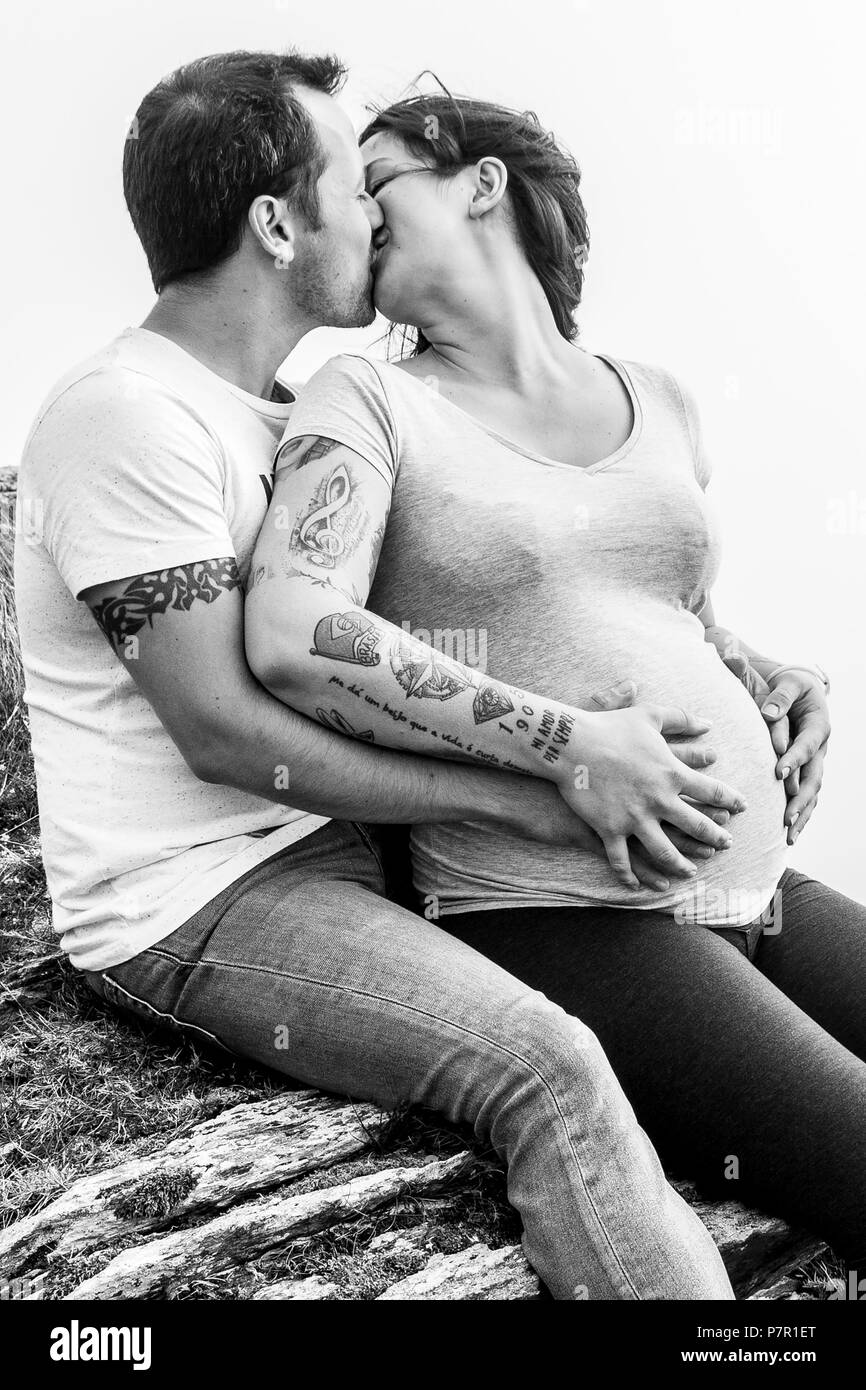 Junge Paare, die ein Baby erwarten, außen am Berg Stockfotohttps://www.alamy.de/image-license-details/?v=1https://www.alamy.de/junge-paare-die-ein-baby-erwarten-aussen-am-berg-image211333104.html
RMP7R1ET–Junge Paare, die ein Baby erwarten, außen am Berg
 Der burren (irisch: boireann - Great Rock), den Karst- Landschaft der Region im Westen der Grafschaft Clare, Irland. Stockfotohttps://www.alamy.de/image-license-details/?v=1https://www.alamy.de/stockfoto-der-burren-irisch-boireann-great-rock-den-karst-landschaft-der-region-im-westen-der-grafschaft-clare-irland-165850250.html
RMKHR3K6–Der burren (irisch: boireann - Great Rock), den Karst- Landschaft der Region im Westen der Grafschaft Clare, Irland.
 Kenmare Bay, County Kerry, Irland. Gezeitenarm an einem wolkigen Tag. Stockfotohttps://www.alamy.de/image-license-details/?v=1https://www.alamy.de/kenmare-bay-county-kerry-irland-gezeitenarm-an-einem-wolkigen-tag-image416887609.html
RF2F66TB5–Kenmare Bay, County Kerry, Irland. Gezeitenarm an einem wolkigen Tag.
 Dingle Halbinsel, Irland Stockfotohttps://www.alamy.de/image-license-details/?v=1https://www.alamy.de/stockfoto-dingle-halbinsel-irland-77036781.html
RFED995H–Dingle Halbinsel, Irland
 Ring of Kerry Irland Stockfotohttps://www.alamy.de/image-license-details/?v=1https://www.alamy.de/ring-of-kerry-irland-image340368839.html
RF2ANN3WY–Ring of Kerry Irland
 Upper Lake, Killarney National Park, County Kerry, Irland Stockfotohttps://www.alamy.de/image-license-details/?v=1https://www.alamy.de/upper-lake-killarney-national-park-county-kerry-irland-image358013776.html
RM2BPCX68–Upper Lake, Killarney National Park, County Kerry, Irland
 Ring of Kerry Irland Stockfotohttps://www.alamy.de/image-license-details/?v=1https://www.alamy.de/ring-of-kerry-irland-image340370652.html
RF2ANN66M–Ring of Kerry Irland
 Der Blick hinunter auf Valentia Island Leuchtturm in County Kerry, Irland Stockfotohttps://www.alamy.de/image-license-details/?v=1https://www.alamy.de/stockfoto-der-blick-hinunter-auf-valentia-island-leuchtturm-in-county-kerry-irland-149065522.html
RMJJEEGJ–Der Blick hinunter auf Valentia Island Leuchtturm in County Kerry, Irland
 Dingle Halbinsel, Irland Stockfotohttps://www.alamy.de/image-license-details/?v=1https://www.alamy.de/stockfoto-dingle-halbinsel-irland-77039007.html
RFED9C13–Dingle Halbinsel, Irland
 Rossdohan Pier Parknasilla Sneem Irland Stockfotohttps://www.alamy.de/image-license-details/?v=1https://www.alamy.de/rossdohan-pier-parknasilla-sneem-irland-image2315679.html
RMA9W5A0–Rossdohan Pier Parknasilla Sneem Irland
 Europa, Westeuropa, Irland, Republik Irland, County Kerry, Ring of Kerry, Derrynane National Park, Sandstrand an der Derrynane Bay Stockfotohttps://www.alamy.de/image-license-details/?v=1https://www.alamy.de/europa-westeuropa-irland-republik-irland-county-kerry-ring-of-kerry-derrynane-national-park-sandstrand-an-der-derrynane-bay-image485239431.html
RM2K5CFRK–Europa, Westeuropa, Irland, Republik Irland, County Kerry, Ring of Kerry, Derrynane National Park, Sandstrand an der Derrynane Bay
 Die Küste am Kenmare River, County Kerry, Irland - John Gollop Stockfotohttps://www.alamy.de/image-license-details/?v=1https://www.alamy.de/die-kuste-am-kenmare-river-county-kerry-irland-john-gollop-image431185310.html
RM2G1E57A–Die Küste am Kenmare River, County Kerry, Irland - John Gollop
 Jerusalem-Bay, Cowan Stockfotohttps://www.alamy.de/image-license-details/?v=1https://www.alamy.de/stockfoto-jerusalem-bay-cowan-56428074.html
RMD7PEGA–Jerusalem-Bay, Cowan
 Ring of Kerry Irland Stockfotohttps://www.alamy.de/image-license-details/?v=1https://www.alamy.de/ring-of-kerry-irland-image7484858.html
RMACAXKB–Ring of Kerry Irland
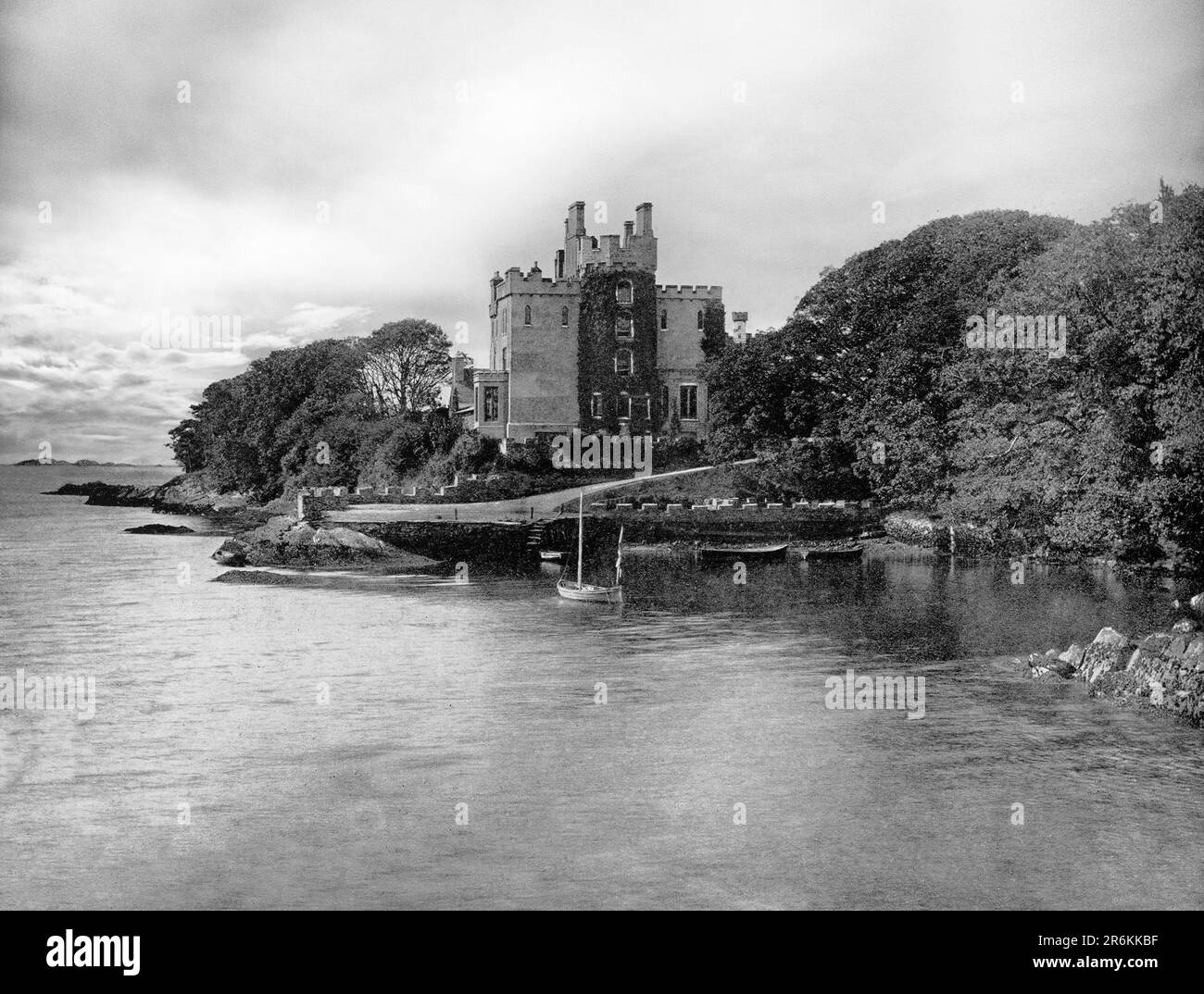 Ein Blick aus dem späten 19. Jahrhundert auf die Burg Derryquin, ein aus Stein erbautes Landhaus aus dem 18. Jahrhundert, im Parknasilla Anwesen in Sneem, County Kerry in der Republik Irland. Das Haus wurde vom lokalen Architekten James Franklin Fuller entworfen und besteht aus einem dreistöckigen Hauptblock mit einem vierstöckigen achteckigen Turm, der sich durch das Zentrum erhebt, und einem zweistöckigen, teilweise gebogenen Flügel. 1922 wurde es von der irischen Republikanischen Armee niedergebrannt und 1969 abgerissen. Stockfotohttps://www.alamy.de/image-license-details/?v=1https://www.alamy.de/ein-blick-aus-dem-spaten-19-jahrhundert-auf-die-burg-derryquin-ein-aus-stein-erbautes-landhaus-aus-dem-18-jahrhundert-im-parknasilla-anwesen-in-sneem-county-kerry-in-der-republik-irland-das-haus-wurde-vom-lokalen-architekten-james-franklin-fuller-entworfen-und-besteht-aus-einem-dreistockigen-hauptblock-mit-einem-vierstockigen-achteckigen-turm-der-sich-durch-das-zentrum-erhebt-und-einem-zweistockigen-teilweise-gebogenen-flugel-1922-wurde-es-von-der-irischen-republikanischen-armee-niedergebrannt-und-1969-abgerissen-image554852019.html
RM2R6KKBF–Ein Blick aus dem späten 19. Jahrhundert auf die Burg Derryquin, ein aus Stein erbautes Landhaus aus dem 18. Jahrhundert, im Parknasilla Anwesen in Sneem, County Kerry in der Republik Irland. Das Haus wurde vom lokalen Architekten James Franklin Fuller entworfen und besteht aus einem dreistöckigen Hauptblock mit einem vierstöckigen achteckigen Turm, der sich durch das Zentrum erhebt, und einem zweistöckigen, teilweise gebogenen Flügel. 1922 wurde es von der irischen Republikanischen Armee niedergebrannt und 1969 abgerissen.
 Schwarze und Weiße Antenne Birds Eye Landschaft aus dem Ring of Kerry, Irland. landschaftlich wunderschöne Nationalpark. Stockfotohttps://www.alamy.de/image-license-details/?v=1https://www.alamy.de/stockfoto-schwarze-und-weisse-antenne-birds-eye-landschaft-aus-dem-ring-of-kerry-irland-landschaftlich-wunderschone-nationalpark-176630849.html
RMM7A6CH–Schwarze und Weiße Antenne Birds Eye Landschaft aus dem Ring of Kerry, Irland. landschaftlich wunderschöne Nationalpark.
