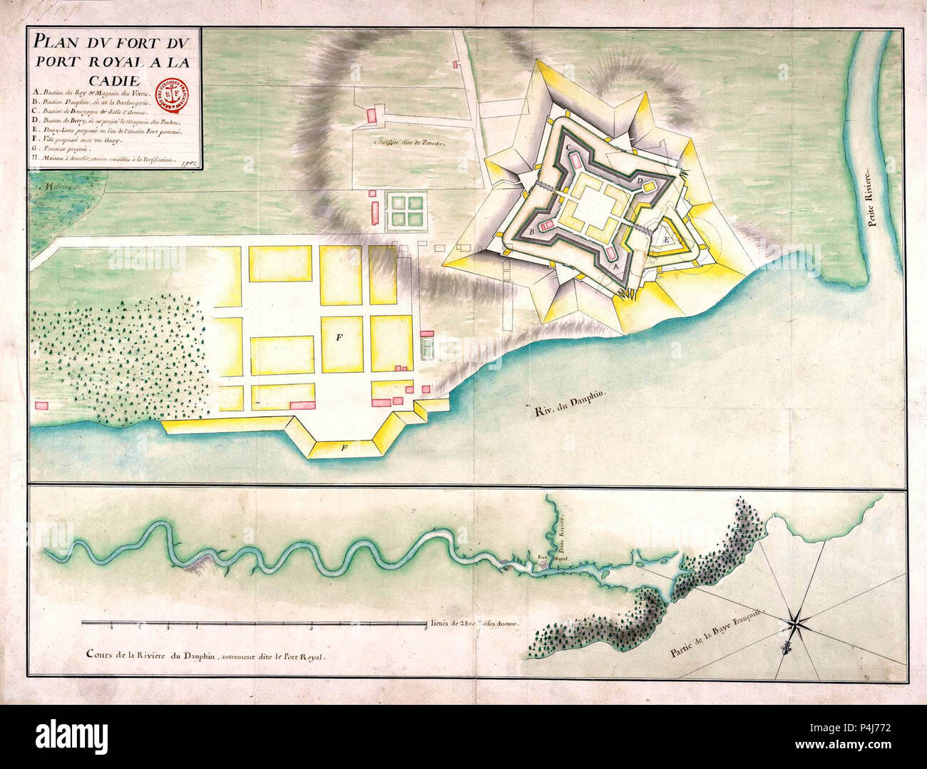
Eine militärische engineering Karte der Festung in Port Royal, Acadia, ca. 1702
RMID:Bild-ID:P4J772
Bilddetails
Bildanbieter:
Niday Picture Library / Alamy Stock FotoBild-ID:
P4J772Dateigröße:
8 MB (528,1 KB Komprimierter Download)Freigaben (Releases):
Model - nein | Eigentum - neinBenötige ich eine Freigabe?Format:
1916 x 1458 px | 32,4 x 24,7 cm | 12,8 x 9,7 inches | 150dpiAufnahmedatum:
21. Juni 2018Weitere Informationen:
Dieses Bild kann kleinere Mängel aufweisen, da es sich um ein historisches Bild oder ein Reportagebild handel