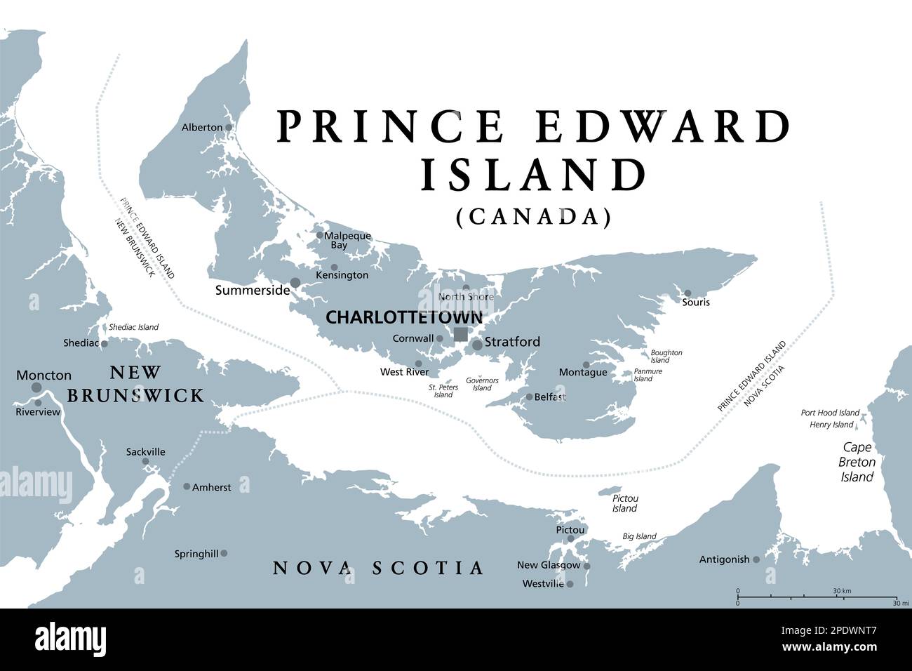
Prince Edward Island, Maritime und atlantische Provinz Kanadas, graue politische Karte. Bekannt als die Insel, im Golf von St. Lawrence.

RFID:Bild-ID:2PDWNT7
Bilddetails
Bildanbieter:
Peter Hermes Furian / Alamy Stock FotoBild-ID:
2PDWNT7Dateigröße:
154,5 MB (1,3 MB Komprimierter Download)Freigaben (Releases):
Model - nein | Eigentum - neinBenötige ich eine Freigabe?Format:
9000 x 6000 px | 76,2 x 50,8 cm | 30 x 20 inches | 300dpiAufnahmedatum:
13. März 2023Ort:
Prince Edward IslandWeitere Informationen: