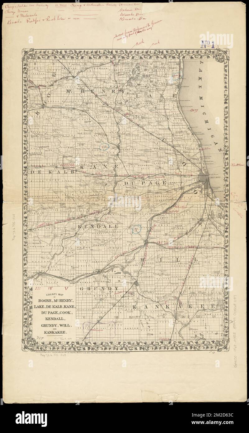
Landkarte von Boone, McHenry, Lake, De Kalb, Kane, Du Page, Cook, Kendall, Grundy, Will, Und Kankakee, Boone County Ill., Maps, Cook County Ill., Maps, De Kalb County Ill., Maps, Du Page County Ill., Maps, Grundy County Ill., Maps, Kane County Ill., Landkarten, Kankakee County Illinois, Landkarten, Kendall County Illinois, Landkarten, Lake County Ill., Maps, McHenry County Ill., Maps, will County Ill., Karten Norman B. Leventhal Kartenzentrum Sammlung

RMID:Bild-ID:2M2D63C
Bilddetails
Bildanbieter:
piemags/DCM / Alamy Stock FotoBild-ID:
2M2D63CDateigröße:
133,3 MB (6,9 MB Komprimierter Download)Freigaben (Releases):
Model - nein | Eigentum - neinBenötige ich eine Freigabe?Format:
5356 x 8702 px | 45,3 x 73,7 cm | 17,9 x 29 inches | 300dpiWeitere Informationen:
Dieses Bild ist ein gemeinfreies Bild. Dies bedeutet, dass entweder das Urheberrecht dafür abgelaufen ist oder der Inhaber des Bildes auf sein Urheberrecht verzichtet hat. Alamy berechnet Ihnen eine Gebühr für den Zugriff auf die hochauflösende Kopie des Bildes.
Dieses Bild kann kleinere Mängel aufweisen, da es sich um ein historisches Bild oder ein Reportagebild handel