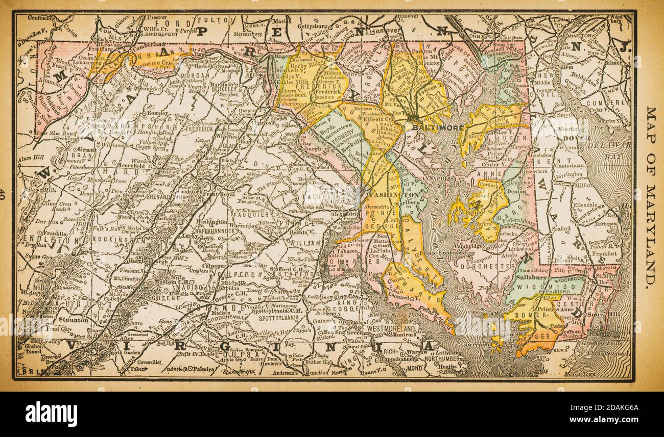
Karte von Maryland aus dem 19. Jahrhundert.Veröffentlicht in New Dollar Atlas of the United States and Dominion of Canada. (Rand McNally & Co's, Chicago, 1884).
RFID:Bild-ID:2DAKG6A
Bilddetails
Bildanbieter:
Les Archives Digitales / Alamy Stock FotoBild-ID:
2DAKG6ADateigröße:
44,5 MB (3,6 MB Komprimierter Download)Freigaben (Releases):
Model - nein | Eigentum - neinBenötige ich eine Freigabe?Format:
5130 x 3029 px | 43,4 x 25,6 cm | 17,1 x 10,1 inches | 300dpiAufnahmedatum:
11. April 2014Ort:
MarylandWeitere Informationen: