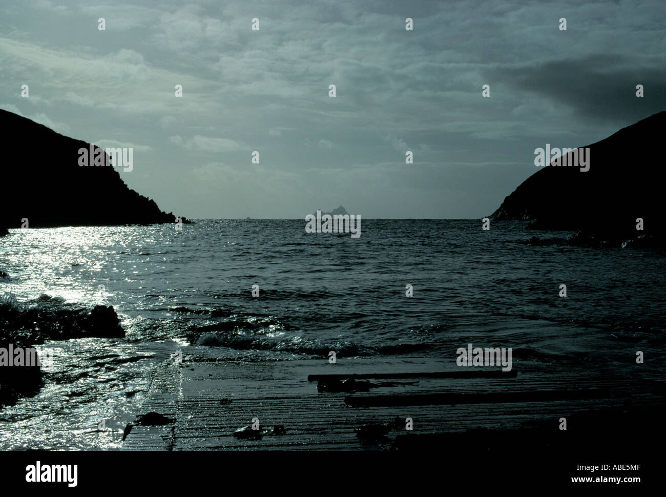
Village on iveragh peninsula Stockfotos & Bilder
(318)village on iveragh peninsula-Stockvideoclips ansehenSchnellfilter:
Village on iveragh peninsula Stockfotos & Bilder
 Touristen auf der Felsenküste mit Blick auf die Ballinskelligs Bay in der Nähe von Waterville in der Grafschaft Kerry. Irland. Stockfotohttps://www.alamy.de/image-license-details/?v=1https://www.alamy.de/stockfoto-touristen-auf-der-felsenkuste-mit-blick-auf-die-ballinskelligs-bay-in-der-nahe-von-waterville-in-der-grafschaft-kerry-irland-129477536.html
RMHEJ5WM–Touristen auf der Felsenküste mit Blick auf die Ballinskelligs Bay in der Nähe von Waterville in der Grafschaft Kerry. Irland.
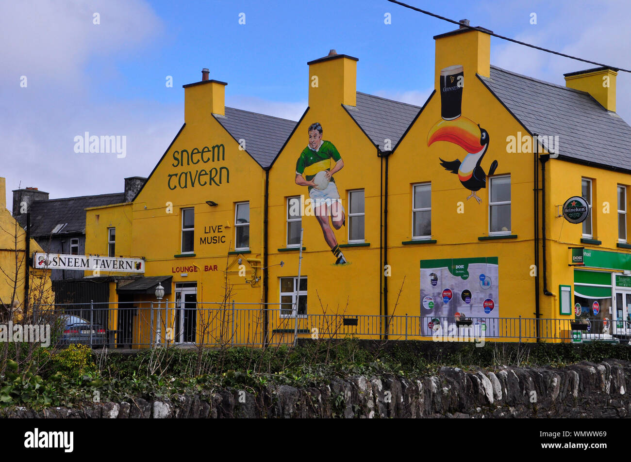 Hell gestrichenen Taverne im Dorf Sneem auf der Iveragh Halbinsel, County Kerry in Irland Stockfotohttps://www.alamy.de/image-license-details/?v=1https://www.alamy.de/hell-gestrichenen-taverne-im-dorf-sneem-auf-der-iveragh-halbinsel-county-kerry-in-irland-image271017217.html
RFWMWW69–Hell gestrichenen Taverne im Dorf Sneem auf der Iveragh Halbinsel, County Kerry in Irland
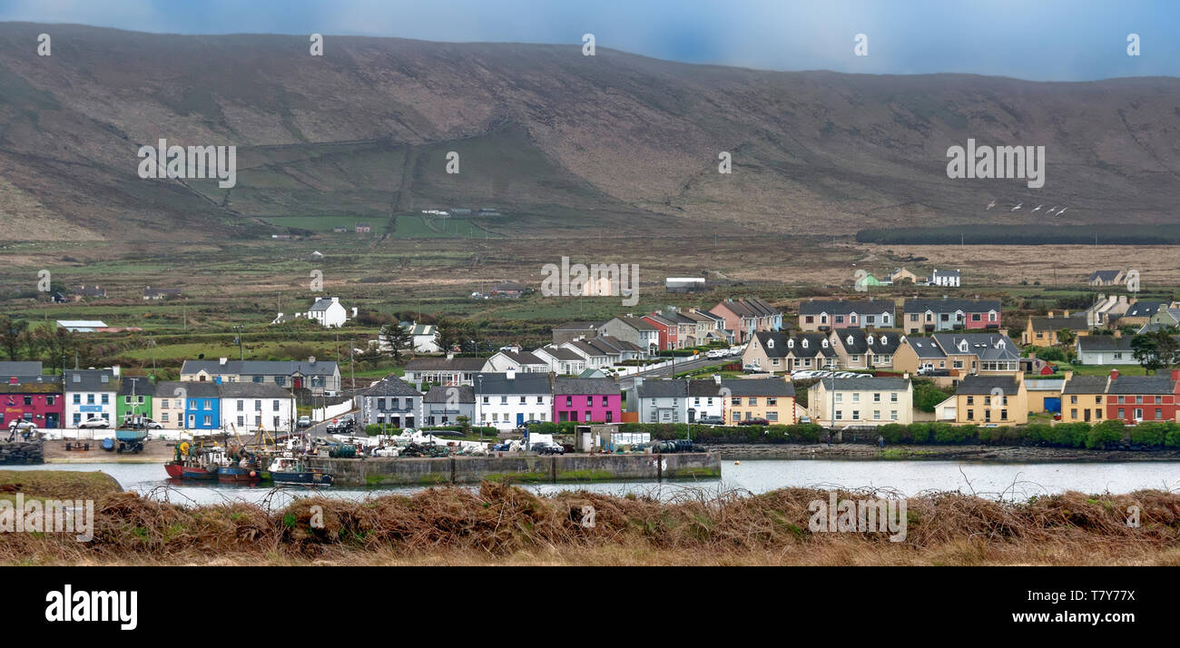 Portmagee ist ein Dorf in der Grafschaft Kerry, Irland. Das Dorf liegt auf der Iveragh Halbinsel südlich von Valentia Island entfernt. Stockfotohttps://www.alamy.de/image-license-details/?v=1https://www.alamy.de/portmagee-ist-ein-dorf-in-der-grafschaft-kerry-irland-das-dorf-liegt-auf-der-iveragh-halbinsel-sudlich-von-valentia-island-entfernt-image245846158.html
RFT7Y77X–Portmagee ist ein Dorf in der Grafschaft Kerry, Irland. Das Dorf liegt auf der Iveragh Halbinsel südlich von Valentia Island entfernt.
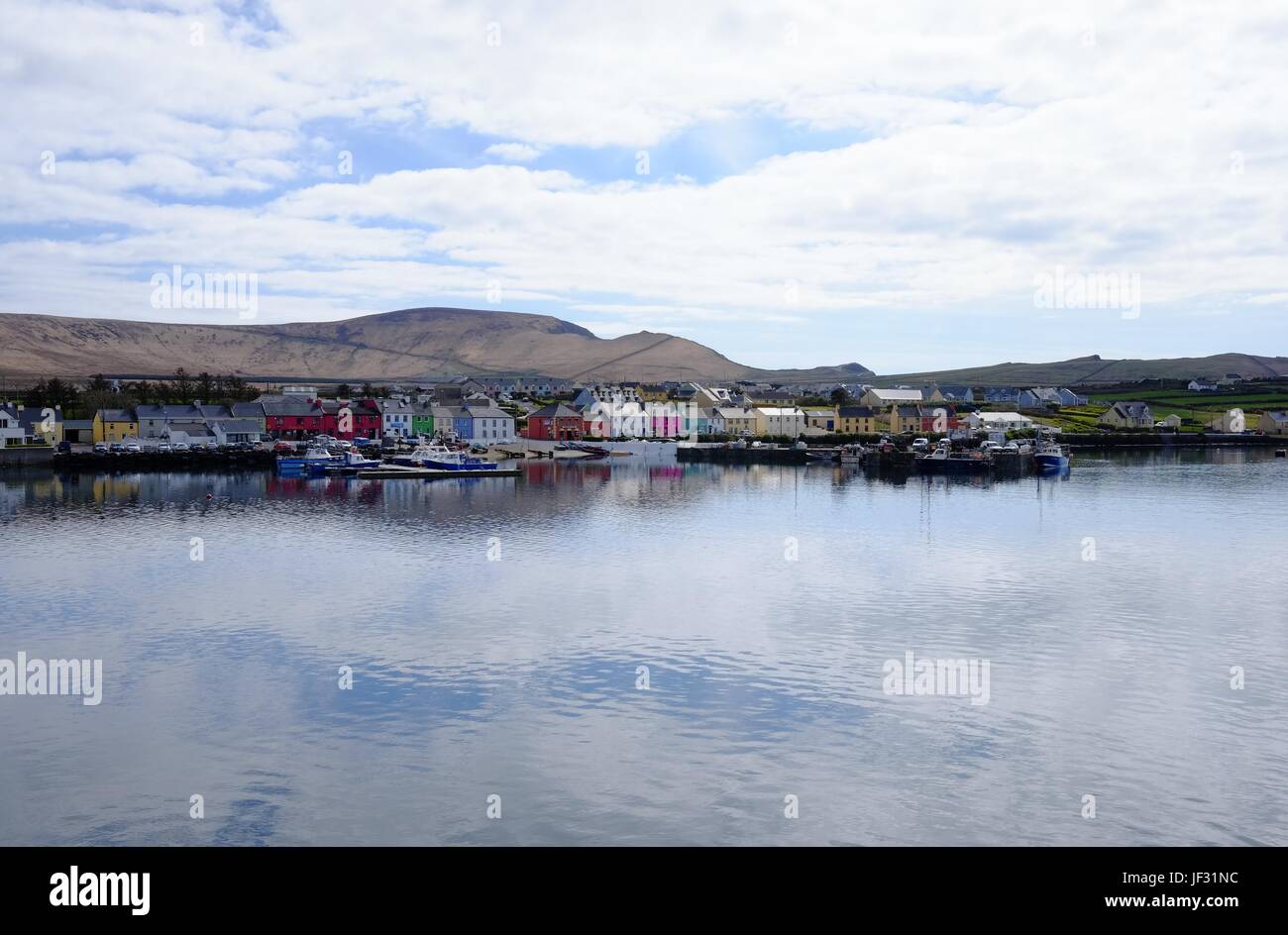 Portmagee, County Kerry, Irland entlang der Ring of Kerry und die Wild Atlantic Way Stockfotohttps://www.alamy.de/image-license-details/?v=1https://www.alamy.de/stockfoto-portmagee-county-kerry-irland-entlang-der-ring-of-kerry-und-die-wild-atlantic-way-146970024.html
RMJF31NC–Portmagee, County Kerry, Irland entlang der Ring of Kerry und die Wild Atlantic Way
 Schaf Cill Rialaig Künstler Retreat Stockfotohttps://www.alamy.de/image-license-details/?v=1https://www.alamy.de/stockfoto-schaf-cill-rialaig-kunstler-retreat-38109099.html
RMC600F7–Schaf Cill Rialaig Künstler Retreat
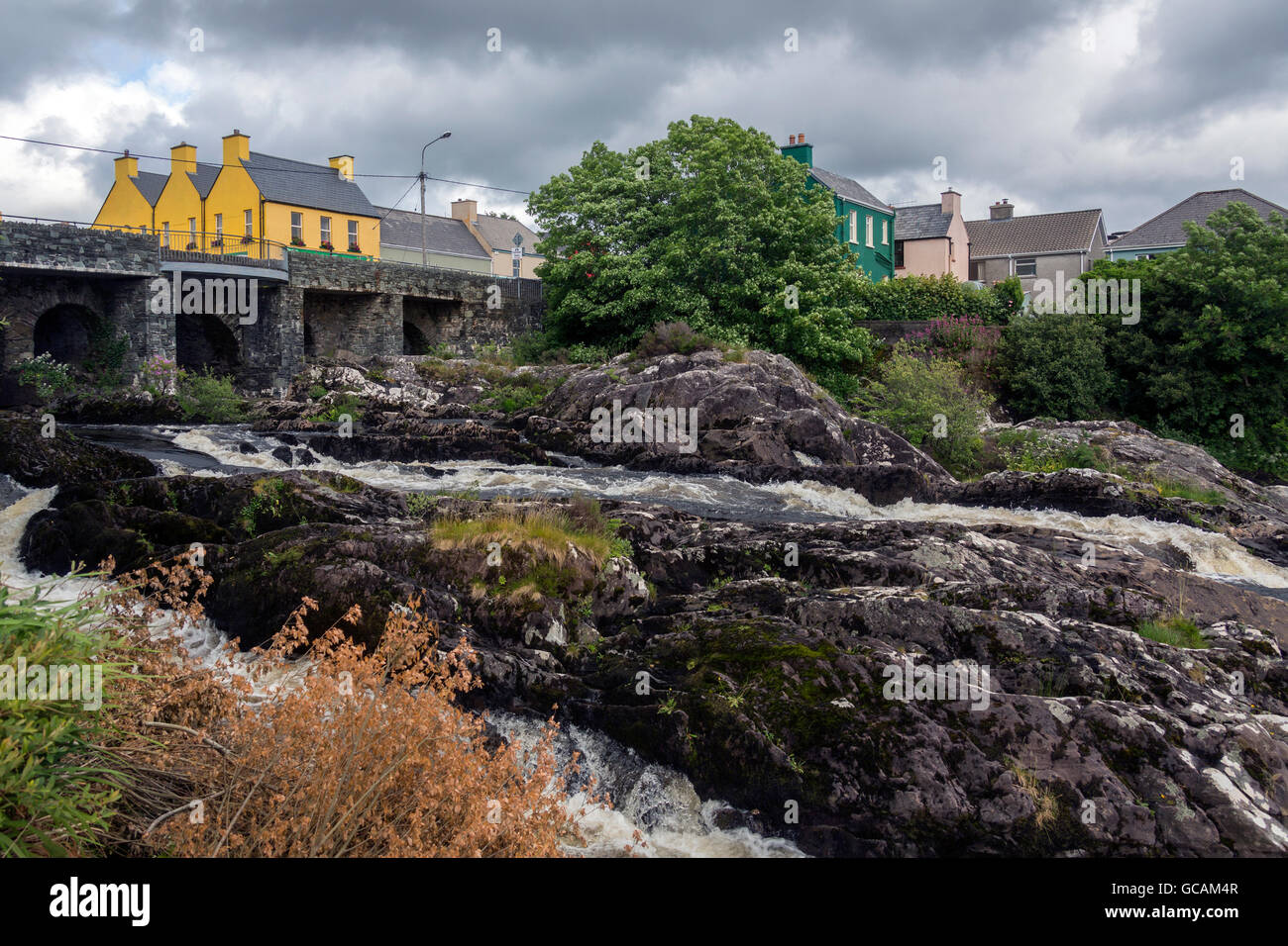 Das Dorf von Sneem auf der Iveragh-Halbinsel in der Grafschaft Kerry in Irland. Stockfotohttps://www.alamy.de/image-license-details/?v=1https://www.alamy.de/stockfoto-das-dorf-von-sneem-auf-der-iveragh-halbinsel-in-der-grafschaft-kerry-in-irland-110873415.html
RFGCAM4R–Das Dorf von Sneem auf der Iveragh-Halbinsel in der Grafschaft Kerry in Irland.
 Das malerische Dorf Sneem auf der Iveragh Halbinsel County Kerry Irland. Juli 2017 Stockfotohttps://www.alamy.de/image-license-details/?v=1https://www.alamy.de/das-malerische-dorf-sneem-auf-der-iveragh-halbinsel-county-kerry-irland-juli-2017-image153050903.html
RMJW01YK–Das malerische Dorf Sneem auf der Iveragh Halbinsel County Kerry Irland. Juli 2017
 Beginish Insel östlich von Valencia Insel Aussicht in Richtung Dorf von Cahirsiveen auf der Iveragh-Halbinsel, County Kerry, Irland Stockfotohttps://www.alamy.de/image-license-details/?v=1https://www.alamy.de/beginish-insel-ostlich-von-valencia-insel-aussicht-in-richtung-dorf-von-cahirsiveen-auf-der-iveragh-halbinsel-county-kerry-irland-image66383649.html
RMDT010H–Beginish Insel östlich von Valencia Insel Aussicht in Richtung Dorf von Cahirsiveen auf der Iveragh-Halbinsel, County Kerry, Irland
 Portmagee ist ein Dorf in der Grafschaft Kerry, Irland. Das Dorf liegt auf der Iveragh Halbinsel südlich von Valentia Island entfernt. Stockfotohttps://www.alamy.de/image-license-details/?v=1https://www.alamy.de/stockfoto-portmagee-ist-ein-dorf-in-der-grafschaft-kerry-irland-das-dorf-liegt-auf-der-iveragh-halbinsel-sudlich-von-valentia-island-entfernt-160901244.html
RMK9NK50–Portmagee ist ein Dorf in der Grafschaft Kerry, Irland. Das Dorf liegt auf der Iveragh Halbinsel südlich von Valentia Island entfernt.
 Blick nach Osten von der Insel Valencia über die Insel Beanish in Richtung Dorf Cahirsiveen auf der Iveragh Halbinsel, County Kerry, Irland. Stockfotohttps://www.alamy.de/image-license-details/?v=1https://www.alamy.de/stockfoto-blick-nach-osten-von-der-insel-valencia-uber-die-insel-beanish-in-richtung-dorf-cahirsiveen-auf-der-iveragh-halbinsel-county-kerry-irland-167010031.html
RMKKKXYY–Blick nach Osten von der Insel Valencia über die Insel Beanish in Richtung Dorf Cahirsiveen auf der Iveragh Halbinsel, County Kerry, Irland.
 Blick von den Kerry Cliffs auf das Dorf Portmagee, Felder und Bauernhöfe mit Fjord und Bergkette im Hintergrund, Halbinsel Iveragh, Ring of Kerry, Irland Stockfotohttps://www.alamy.de/image-license-details/?v=1https://www.alamy.de/blick-von-den-kerry-cliffs-auf-das-dorf-portmagee-felder-und-bauernhofe-mit-fjord-und-bergkette-im-hintergrund-halbinsel-iveragh-ring-of-kerry-irland-image426407441.html
RF2FNMF15–Blick von den Kerry Cliffs auf das Dorf Portmagee, Felder und Bauernhöfe mit Fjord und Bergkette im Hintergrund, Halbinsel Iveragh, Ring of Kerry, Irland
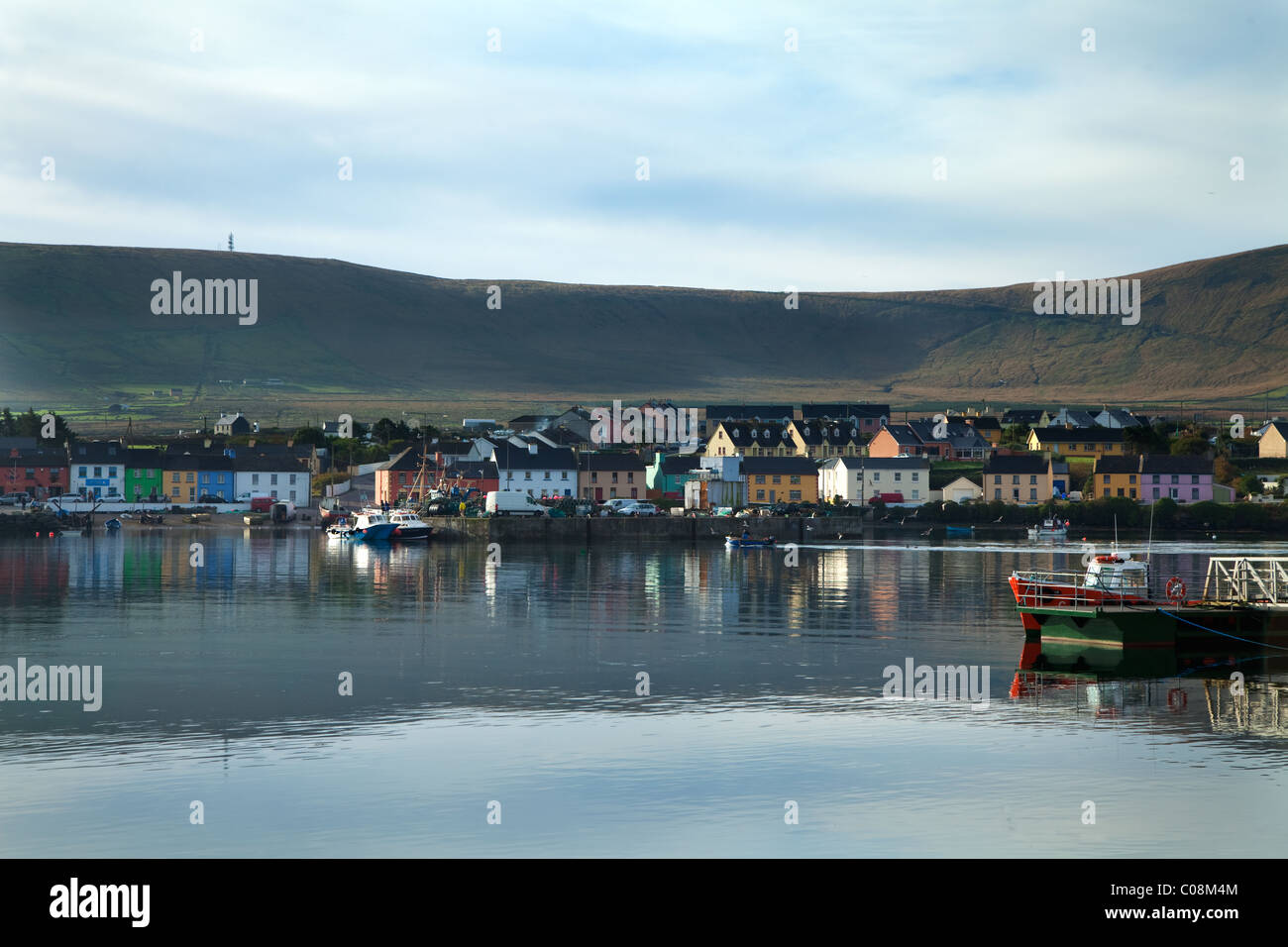 Der Hafen von Portmagee auf dem Ring of Kerry, County Kerry, Irland Stockfotohttps://www.alamy.de/image-license-details/?v=1https://www.alamy.de/stockfoto-der-hafen-von-portmagee-auf-dem-ring-of-kerry-county-kerry-irland-34612164.html
RMC08M4M–Der Hafen von Portmagee auf dem Ring of Kerry, County Kerry, Irland
 Blick von den Kerry Cliffs auf grasende Rinder auf Feldern und Weiden der Halbinsel Iveragh Stockfotohttps://www.alamy.de/image-license-details/?v=1https://www.alamy.de/blick-von-den-kerry-cliffs-auf-grasende-rinder-auf-feldern-und-weiden-der-halbinsel-iveragh-image477281153.html
RF2JME0YD–Blick von den Kerry Cliffs auf grasende Rinder auf Feldern und Weiden der Halbinsel Iveragh
 Portmagee ist ein Dorf in der Grafschaft Kerry, Irland. Das Dorf liegt auf der Iveragh Halbinsel südlich von Valentia Island entfernt. Stockfotohttps://www.alamy.de/image-license-details/?v=1https://www.alamy.de/portmagee-ist-ein-dorf-in-der-grafschaft-kerry-irland-das-dorf-liegt-auf-der-iveragh-halbinsel-sudlich-von-valentia-island-entfernt-image491253549.html
RF2KF6EWH–Portmagee ist ein Dorf in der Grafschaft Kerry, Irland. Das Dorf liegt auf der Iveragh Halbinsel südlich von Valentia Island entfernt.
 Irland Reise (Mai 19-29, 2019) Landschaft des Dorfes Caherdaniel auf der Iveragh Halbinsel am Ring of Kerry Stockfotohttps://www.alamy.de/image-license-details/?v=1https://www.alamy.de/irland-reise-mai-19-29-2019-landschaft-des-dorfes-caherdaniel-auf-der-iveragh-halbinsel-am-ring-of-kerry-image264126607.html
RFW9M053–Irland Reise (Mai 19-29, 2019) Landschaft des Dorfes Caherdaniel auf der Iveragh Halbinsel am Ring of Kerry
 Das Dorf Portmagee liegt auf der Halbinsel Iveragh südlich der Insel Valentia und ist lokal als „Fähre“ bekannt, was auf seinen Zweck als cr verweist Stockfotohttps://www.alamy.de/image-license-details/?v=1https://www.alamy.de/das-dorf-portmagee-liegt-auf-der-halbinsel-iveragh-sudlich-der-insel-valentia-und-ist-lokal-als-fahre-bekannt-was-auf-seinen-zweck-als-cr-verweist-image596711464.html
RF2WJPFFM–Das Dorf Portmagee liegt auf der Halbinsel Iveragh südlich der Insel Valentia und ist lokal als „Fähre“ bekannt, was auf seinen Zweck als cr verweist
 Blick von den Kerry Cliffs auf das Dorf Portmagee, Felder und Bauernhöfe mit Fjord und Bergkette im Hintergrund, Halbinsel Iveragh, Ring of Kerry, Irland Stockfotohttps://www.alamy.de/image-license-details/?v=1https://www.alamy.de/blick-von-den-kerry-cliffs-auf-das-dorf-portmagee-felder-und-bauernhofe-mit-fjord-und-bergkette-im-hintergrund-halbinsel-iveragh-ring-of-kerry-irland-image446803381.html
RF2GXWJ7H–Blick von den Kerry Cliffs auf das Dorf Portmagee, Felder und Bauernhöfe mit Fjord und Bergkette im Hintergrund, Halbinsel Iveragh, Ring of Kerry, Irland
 Das Dorf Portmagee liegt auf der Halbinsel Iveragh südlich der Insel Valentia und ist lokal als „Fähre“ bekannt, was auf seinen Zweck als cr verweist Stockfotohttps://www.alamy.de/image-license-details/?v=1https://www.alamy.de/das-dorf-portmagee-liegt-auf-der-halbinsel-iveragh-sudlich-der-insel-valentia-und-ist-lokal-als-fahre-bekannt-was-auf-seinen-zweck-als-cr-verweist-image596714613.html
RF2WJPKG5–Das Dorf Portmagee liegt auf der Halbinsel Iveragh südlich der Insel Valentia und ist lokal als „Fähre“ bekannt, was auf seinen Zweck als cr verweist
 Natürliches Tor zum Dorf Portmagee zwischen Bray Head und den Kerry Cliffs vom Boot aus auf der Halbinsel Iveragh am Atlantik, Ring of Kerry, Irland Stockfotohttps://www.alamy.de/image-license-details/?v=1https://www.alamy.de/naturliches-tor-zum-dorf-portmagee-zwischen-bray-head-und-den-kerry-cliffs-vom-boot-aus-auf-der-halbinsel-iveragh-am-atlantik-ring-of-kerry-irland-image446830888.html
RF2GXXWA0–Natürliches Tor zum Dorf Portmagee zwischen Bray Head und den Kerry Cliffs vom Boot aus auf der Halbinsel Iveragh am Atlantik, Ring of Kerry, Irland
 Häuser und Hotels an der Küste der Grafschaft Kerry im Küstendorf Waterville in der Grafschaft Kerry. Irland. Stockfotohttps://www.alamy.de/image-license-details/?v=1https://www.alamy.de/stockfoto-hauser-und-hotels-an-der-kuste-der-grafschaft-kerry-im-kustendorf-waterville-in-der-grafschaft-kerry-irland-129477544.html
RMHEJ5X0–Häuser und Hotels an der Küste der Grafschaft Kerry im Küstendorf Waterville in der Grafschaft Kerry. Irland.
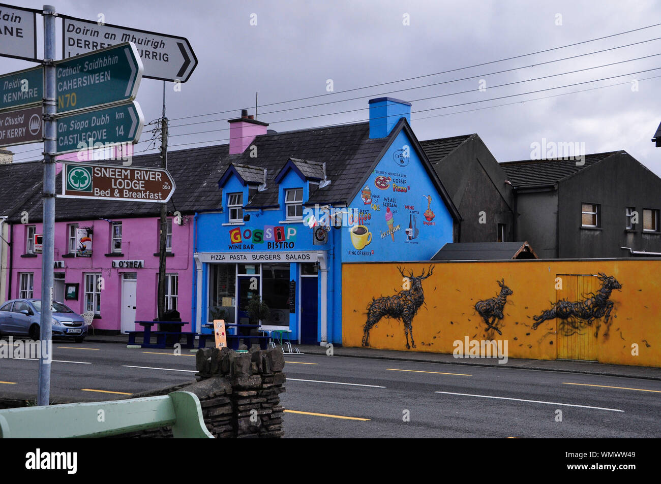 Bunt bemalten Häuser im Dorf Sneem auf der Iveragh Halbinsel im County Kerry in der Republik Irland Stockfotohttps://www.alamy.de/image-license-details/?v=1https://www.alamy.de/bunt-bemalten-hauser-im-dorf-sneem-auf-der-iveragh-halbinsel-im-county-kerry-in-der-republik-irland-image271017161.html
RFWMWW49–Bunt bemalten Häuser im Dorf Sneem auf der Iveragh Halbinsel im County Kerry in der Republik Irland
 Blick entlang der Hauptstraße von Knightstown, Valentia Island, County Kerry, Irland. Renard Nummer befindet sich auf dem jenseitigen Ufer, die Fähre fährt zwischen beiden Punkten Stockfotohttps://www.alamy.de/image-license-details/?v=1https://www.alamy.de/stockfoto-blick-entlang-der-hauptstrasse-von-knightstown-valentia-island-county-kerry-irland-renard-nummer-befindet-sich-auf-dem-jenseitigen-ufer-die-fahre-fahrt-zwischen-beiden-punkten-134911899.html
RMHRDNE3–Blick entlang der Hauptstraße von Knightstown, Valentia Island, County Kerry, Irland. Renard Nummer befindet sich auf dem jenseitigen Ufer, die Fähre fährt zwischen beiden Punkten
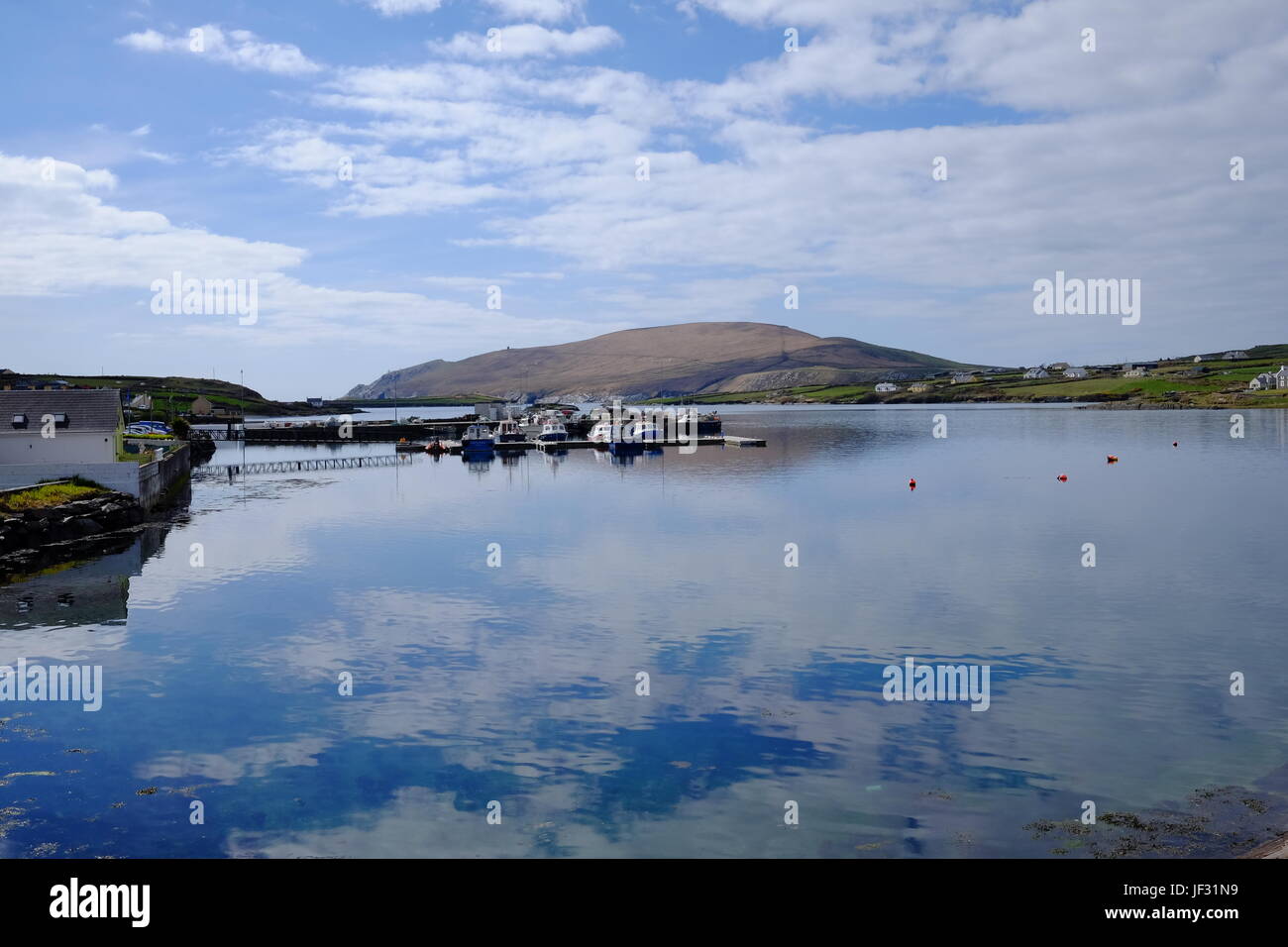 Portmagee, County Kerry, Irland entlang der Ring of Kerry und die Wild Atlantic Way mit Valentia Island im Hintergrund. Stockfotohttps://www.alamy.de/image-license-details/?v=1https://www.alamy.de/stockfoto-portmagee-county-kerry-irland-entlang-der-ring-of-kerry-und-die-wild-atlantic-way-mit-valentia-island-im-hintergrund-146970021.html
RMJF31N9–Portmagee, County Kerry, Irland entlang der Ring of Kerry und die Wild Atlantic Way mit Valentia Island im Hintergrund.
 Das Dorf Portmagee, County Kerry, Irland. Stockfotohttps://www.alamy.de/image-license-details/?v=1https://www.alamy.de/stockfoto-das-dorf-portmagee-county-kerry-irland-129437955.html
RMHEGBC3–Das Dorf Portmagee, County Kerry, Irland.
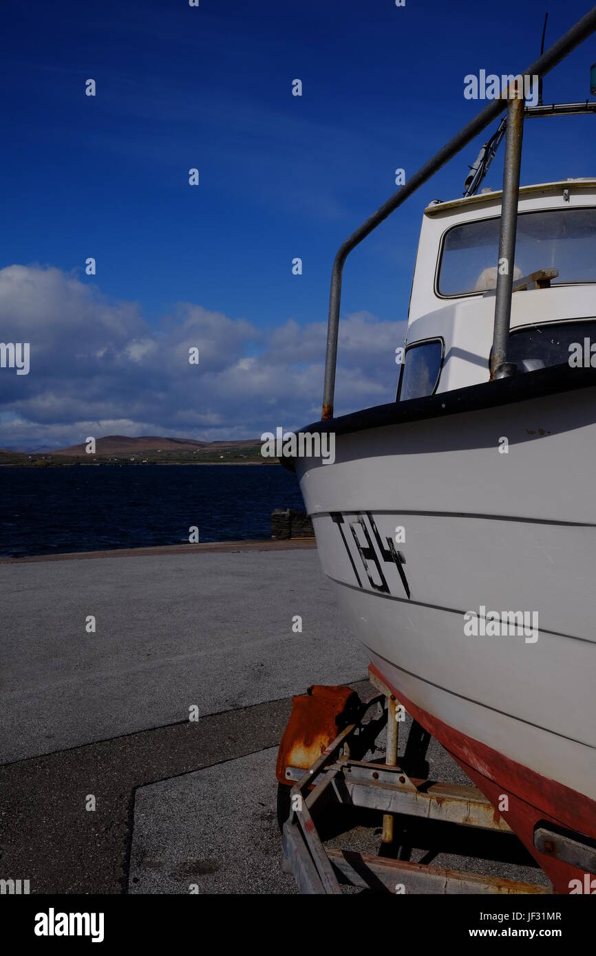 Boot in Knightstown, Valentia Island, County Kerry, Irland entlang der Ring of Kerry und die Wild Atlantic Way Stockfotohttps://www.alamy.de/image-license-details/?v=1https://www.alamy.de/stockfoto-boot-in-knightstown-valentia-island-county-kerry-irland-entlang-der-ring-of-kerry-und-die-wild-atlantic-way-146970007.html
RMJF31MR–Boot in Knightstown, Valentia Island, County Kerry, Irland entlang der Ring of Kerry und die Wild Atlantic Way
 Der Strand von Ballinskelligs, County Kerry, Irland. Stockfotohttps://www.alamy.de/image-license-details/?v=1https://www.alamy.de/stockfoto-der-strand-von-ballinskelligs-county-kerry-irland-131718572.html
RMHJ88AM–Der Strand von Ballinskelligs, County Kerry, Irland.
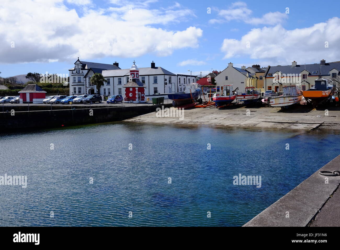 Valentia Island Hafen in County Kerry, Irland, auf den Ring of Kerry-Route und die Wild Atlantic Way Stockfotohttps://www.alamy.de/image-license-details/?v=1https://www.alamy.de/stockfoto-valentia-island-hafen-in-county-kerry-irland-auf-den-ring-of-kerry-route-und-die-wild-atlantic-way-146970018.html
RMJF31N6–Valentia Island Hafen in County Kerry, Irland, auf den Ring of Kerry-Route und die Wild Atlantic Way
 Blick entlang der Hauptstraße von Knightstown, Valentia Island, County Kerry, Irland. Renard Nummer befindet sich auf dem jenseitigen Ufer, die Fähre fährt zwischen beiden Punkten Stockfotohttps://www.alamy.de/image-license-details/?v=1https://www.alamy.de/stockfoto-blick-entlang-der-hauptstrasse-von-knightstown-valentia-island-county-kerry-irland-renard-nummer-befindet-sich-auf-dem-jenseitigen-ufer-die-fahre-fahrt-zwischen-beiden-punkten-134911929.html
RMHRDNF5–Blick entlang der Hauptstraße von Knightstown, Valentia Island, County Kerry, Irland. Renard Nummer befindet sich auf dem jenseitigen Ufer, die Fähre fährt zwischen beiden Punkten
 Portmagee ist ein Dorf in der Grafschaft Kerry, Irland. Das Dorf liegt auf der Iveragh Halbinsel südlich von Valentia Island entfernt. Stockfotohttps://www.alamy.de/image-license-details/?v=1https://www.alamy.de/stockfoto-portmagee-ist-ein-dorf-in-der-grafschaft-kerry-irland-das-dorf-liegt-auf-der-iveragh-halbinsel-sudlich-von-valentia-island-entfernt-160901242.html
RMK9NK4X–Portmagee ist ein Dorf in der Grafschaft Kerry, Irland. Das Dorf liegt auf der Iveragh Halbinsel südlich von Valentia Island entfernt.
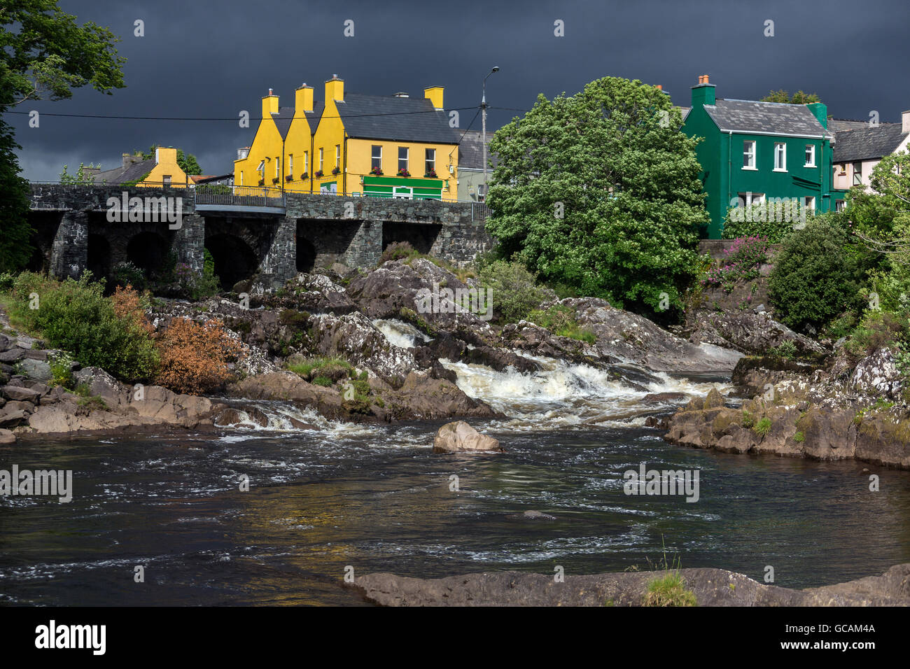 Das Dorf von Sneem auf der Iveragh-Halbinsel in der Grafschaft Kerry in Irland. Stockfotohttps://www.alamy.de/image-license-details/?v=1https://www.alamy.de/stockfoto-das-dorf-von-sneem-auf-der-iveragh-halbinsel-in-der-grafschaft-kerry-in-irland-110873402.html
RFGCAM4A–Das Dorf von Sneem auf der Iveragh-Halbinsel in der Grafschaft Kerry in Irland.
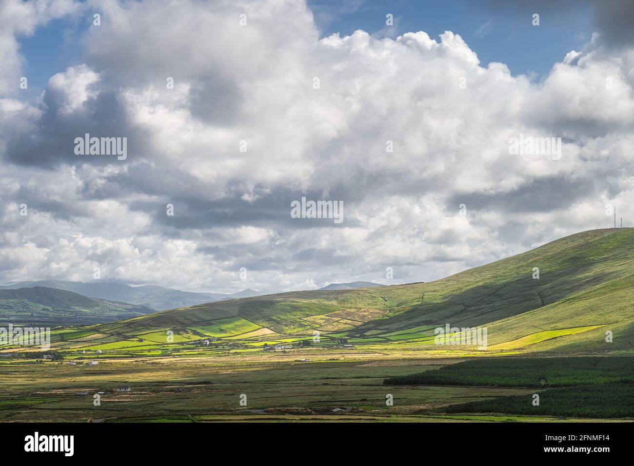 Blick von den Kerry Cliffs auf die umliegenden Hügel mit grünen Feldern, Weiden und Bauernhöfen, die Halbinsel Iveragh, Portmagee, Ring of Kerry, Irland Stockfotohttps://www.alamy.de/image-license-details/?v=1https://www.alamy.de/blick-von-den-kerry-cliffs-auf-die-umliegenden-hugel-mit-grunen-feldern-weiden-und-bauernhofen-die-halbinsel-iveragh-portmagee-ring-of-kerry-irland-image426407440.html
RF2FNMF14–Blick von den Kerry Cliffs auf die umliegenden Hügel mit grünen Feldern, Weiden und Bauernhöfen, die Halbinsel Iveragh, Portmagee, Ring of Kerry, Irland
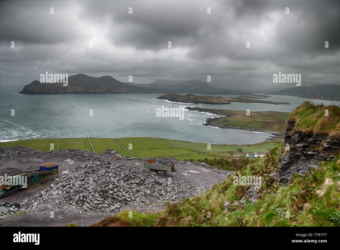 Der Blick auf den Atlantik. Valentia Island Stockfotohttps://www.alamy.de/image-license-details/?v=1https://www.alamy.de/der-blick-auf-den-atlantik-valentia-island-image245758807.html
RFT7R7T7–Der Blick auf den Atlantik. Valentia Island
 Blick vom Hafen von Knightstown auf Valentia Island auf die Iveragh Peninsula Mountains in der Grafschaft Kerry, Irland. Stockfotohttps://www.alamy.de/image-license-details/?v=1https://www.alamy.de/blick-vom-hafen-von-knightstown-auf-valentia-island-auf-die-iveragh-peninsula-mountains-in-der-grafschaft-kerry-irland-image425322436.html
RF2FKY330–Blick vom Hafen von Knightstown auf Valentia Island auf die Iveragh Peninsula Mountains in der Grafschaft Kerry, Irland.
 Irland Reise (Mai 19-29, 2019) Landschaft des Dorfes Caherdaniel auf der Iveragh Halbinsel am Ring of Kerry. Die Küste Stockfotohttps://www.alamy.de/image-license-details/?v=1https://www.alamy.de/irland-reise-mai-19-29-2019-landschaft-des-dorfes-caherdaniel-auf-der-iveragh-halbinsel-am-ring-of-kerry-die-kuste-image264126629.html
RFW9M05W–Irland Reise (Mai 19-29, 2019) Landschaft des Dorfes Caherdaniel auf der Iveragh Halbinsel am Ring of Kerry. Die Küste
 Junges Paar auf Kai, Portmagee, County Kerry, Irland Stockfotohttps://www.alamy.de/image-license-details/?v=1https://www.alamy.de/junges-paar-auf-kai-portmagee-county-kerry-irland-image156843078.html
RMK34PXE–Junges Paar auf Kai, Portmagee, County Kerry, Irland
 Landstraße, die von den Kerry Cliffs zum Dorf Portmagee in der Ferne führt, mit Blick auf Felder und Weiden, Halbinsel Iveragh, Ring of Kerry, Irland Stockfotohttps://www.alamy.de/image-license-details/?v=1https://www.alamy.de/landstrasse-die-von-den-kerry-cliffs-zum-dorf-portmagee-in-der-ferne-fuhrt-mit-blick-auf-felder-und-weiden-halbinsel-iveragh-ring-of-kerry-irland-image446786713.html
RF2GXTW09–Landstraße, die von den Kerry Cliffs zum Dorf Portmagee in der Ferne führt, mit Blick auf Felder und Weiden, Halbinsel Iveragh, Ring of Kerry, Irland
 Frau Entspannen am Meer in Waterville, County Kerry, Irland Stockfotohttps://www.alamy.de/image-license-details/?v=1https://www.alamy.de/stockfoto-frau-entspannen-am-meer-in-waterville-county-kerry-irland-163901183.html
RMKEJ9HK–Frau Entspannen am Meer in Waterville, County Kerry, Irland
 Felserosion am Fluss in Sneem Village, Ring of Kerry Trail, Iveragh Peninsula, County Kerry, Irland, Europa. September 2015. Stockfotohttps://www.alamy.de/image-license-details/?v=1https://www.alamy.de/felserosion-am-fluss-in-sneem-village-ring-of-kerry-trail-iveragh-peninsula-county-kerry-irland-europa-september-2015-image357537181.html
RM2BNK691–Felserosion am Fluss in Sneem Village, Ring of Kerry Trail, Iveragh Peninsula, County Kerry, Irland, Europa. September 2015.
 Blick von den Kerry Cliffs auf die umliegenden Hügel mit grünen Feldern, Weiden und Bauernhöfen, die Halbinsel Iveragh, Portmagee, Ring of Kerry, Irland Stockfotohttps://www.alamy.de/image-license-details/?v=1https://www.alamy.de/blick-von-den-kerry-cliffs-auf-die-umliegenden-hugel-mit-grunen-feldern-weiden-und-bauernhofen-die-halbinsel-iveragh-portmagee-ring-of-kerry-irland-image446803375.html
RF2GXWJ7B–Blick von den Kerry Cliffs auf die umliegenden Hügel mit grünen Feldern, Weiden und Bauernhöfen, die Halbinsel Iveragh, Portmagee, Ring of Kerry, Irland
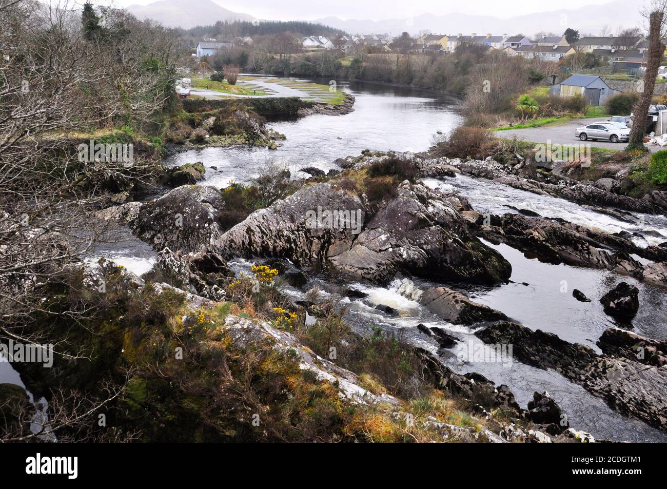 Die Wasserfälle auf dem Fluss Sneem, wie sie durch das Dorf Sneem zum Meer passieren. Iveragh Halbinsel, Grafschaft Kerry in Irland Stockfotohttps://www.alamy.de/image-license-details/?v=1https://www.alamy.de/die-wasserfalle-auf-dem-fluss-sneem-wie-sie-durch-das-dorf-sneem-zum-meer-passieren-iveragh-halbinsel-grafschaft-kerry-in-irland-image369778865.html
RF2CDGTM1–Die Wasserfälle auf dem Fluss Sneem, wie sie durch das Dorf Sneem zum Meer passieren. Iveragh Halbinsel, Grafschaft Kerry in Irland
 Malerische Ring of Kerry Straße von Waterville in Irland an einem sonnigen Tag. Stockfotohttps://www.alamy.de/image-license-details/?v=1https://www.alamy.de/malerische-ring-of-kerry-strasse-von-waterville-in-irland-an-einem-sonnigen-tag-image209689012.html
RFP544D8–Malerische Ring of Kerry Straße von Waterville in Irland an einem sonnigen Tag.
 Der Blick aus dem Dorf Waterville auf der Iveragh Halbinsel, im County Kerry, Republik Irland. Stockfotohttps://www.alamy.de/image-license-details/?v=1https://www.alamy.de/der-blick-aus-dem-dorf-waterville-auf-der-iveragh-halbinsel-im-county-kerry-republik-irland-image219723337.html
RFPND7A1–Der Blick aus dem Dorf Waterville auf der Iveragh Halbinsel, im County Kerry, Republik Irland.
 Knight's Town, Irland - 8. August 2022: Bunte Boote ankern im Hafen und Sporthafen von Knight's Town auf Valentia Island in der Grafschaft Kerry o Stockfotohttps://www.alamy.de/image-license-details/?v=1https://www.alamy.de/knights-town-irland-8-august-2022-bunte-boote-ankern-im-hafen-und-sporthafen-von-knights-town-auf-valentia-island-in-der-grafschaft-kerry-o-image483031003.html
RF2K1RXY7–Knight's Town, Irland - 8. August 2022: Bunte Boote ankern im Hafen und Sporthafen von Knight's Town auf Valentia Island in der Grafschaft Kerry o
 Blick von den Kerry Cliffs auf das Dorf Portmagee und Bauernhöfe mit Fjord und Bergkette im Hintergrund Stockfotohttps://www.alamy.de/image-license-details/?v=1https://www.alamy.de/blick-von-den-kerry-cliffs-auf-das-dorf-portmagee-und-bauernhofe-mit-fjord-und-bergkette-im-hintergrund-image477281637.html
RF2JME1GN–Blick von den Kerry Cliffs auf das Dorf Portmagee und Bauernhöfe mit Fjord und Bergkette im Hintergrund
 Die N 70 Ring of Kerry, die durch scheinen auf der Iveragh Halbinsel County Kerry Irland Stockfotohttps://www.alamy.de/image-license-details/?v=1https://www.alamy.de/die-n-70-ring-of-kerry-die-durch-scheinen-auf-der-iveragh-halbinsel-county-kerry-irland-image158907613.html
RMK6ET7W–Die N 70 Ring of Kerry, die durch scheinen auf der Iveragh Halbinsel County Kerry Irland
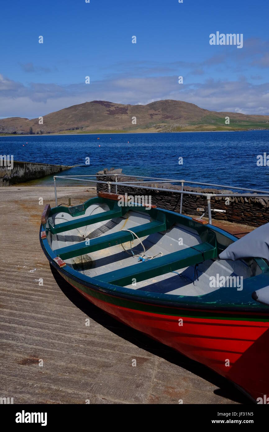 Boot am Slipway am Knightstown, Valentia Island, County Kerry, Irland entlang der Ring of Kerry und die Wild Atlantic Way Stockfotohttps://www.alamy.de/image-license-details/?v=1https://www.alamy.de/stockfoto-boot-am-slipway-am-knightstown-valentia-island-county-kerry-irland-entlang-der-ring-of-kerry-und-die-wild-atlantic-way-146970017.html
RMJF31N5–Boot am Slipway am Knightstown, Valentia Island, County Kerry, Irland entlang der Ring of Kerry und die Wild Atlantic Way
 Blick entlang der Hauptstraße von Knightstown, Valentia Island, County Kerry, Irland. Renard Nummer befindet sich auf dem jenseitigen Ufer, die Fähre fährt zwischen beiden Punkten Stockfotohttps://www.alamy.de/image-license-details/?v=1https://www.alamy.de/stockfoto-blick-entlang-der-hauptstrasse-von-knightstown-valentia-island-county-kerry-irland-renard-nummer-befindet-sich-auf-dem-jenseitigen-ufer-die-fahre-fahrt-zwischen-beiden-punkten-134911901.html
RMHRDNE5–Blick entlang der Hauptstraße von Knightstown, Valentia Island, County Kerry, Irland. Renard Nummer befindet sich auf dem jenseitigen Ufer, die Fähre fährt zwischen beiden Punkten
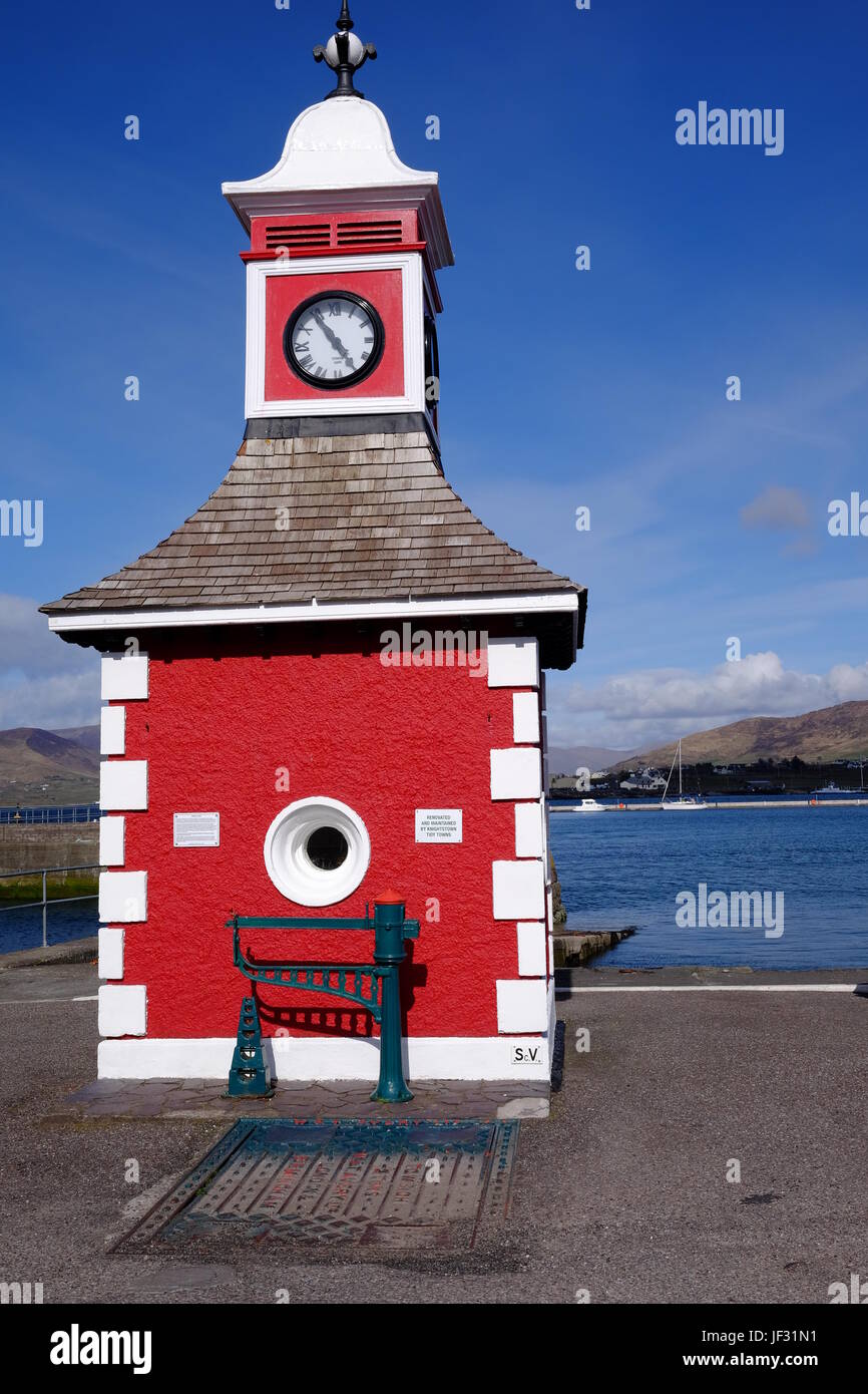 Der Uhrturm in Knightstown, Valentia Island, County Kerry, Irland. Ein Ziel auf dem Ring of Kerry & Wild Atlantic Way. Stockfotohttps://www.alamy.de/image-license-details/?v=1https://www.alamy.de/stockfoto-der-uhrturm-in-knightstown-valentia-island-county-kerry-irland-ein-ziel-auf-dem-ring-of-kerry-wild-atlantic-way-146970013.html
RMJF31N1–Der Uhrturm in Knightstown, Valentia Island, County Kerry, Irland. Ein Ziel auf dem Ring of Kerry & Wild Atlantic Way.
 Touristen neben einer Bronzestatue von Charlie Chaplain im Küstendorf Waterville, Grafschaft Kerry, Irland. Stockfotohttps://www.alamy.de/image-license-details/?v=1https://www.alamy.de/stockfoto-touristen-neben-einer-bronzestatue-von-charlie-chaplain-im-kustendorf-waterville-grafschaft-kerry-irland-129477489.html
RMHEJ5T1–Touristen neben einer Bronzestatue von Charlie Chaplain im Küstendorf Waterville, Grafschaft Kerry, Irland.
 Landstraße, die von den Kerry Cliffs zum Dorf Portmagee in der Ferne führt, mit Blick auf Felder und Weiden, Halbinsel Iveragh, Ring of Kerry, Irland Stockfotohttps://www.alamy.de/image-license-details/?v=1https://www.alamy.de/landstrasse-die-von-den-kerry-cliffs-zum-dorf-portmagee-in-der-ferne-fuhrt-mit-blick-auf-felder-und-weiden-halbinsel-iveragh-ring-of-kerry-irland-image426144319.html
RF2FN8FBY–Landstraße, die von den Kerry Cliffs zum Dorf Portmagee in der Ferne führt, mit Blick auf Felder und Weiden, Halbinsel Iveragh, Ring of Kerry, Irland
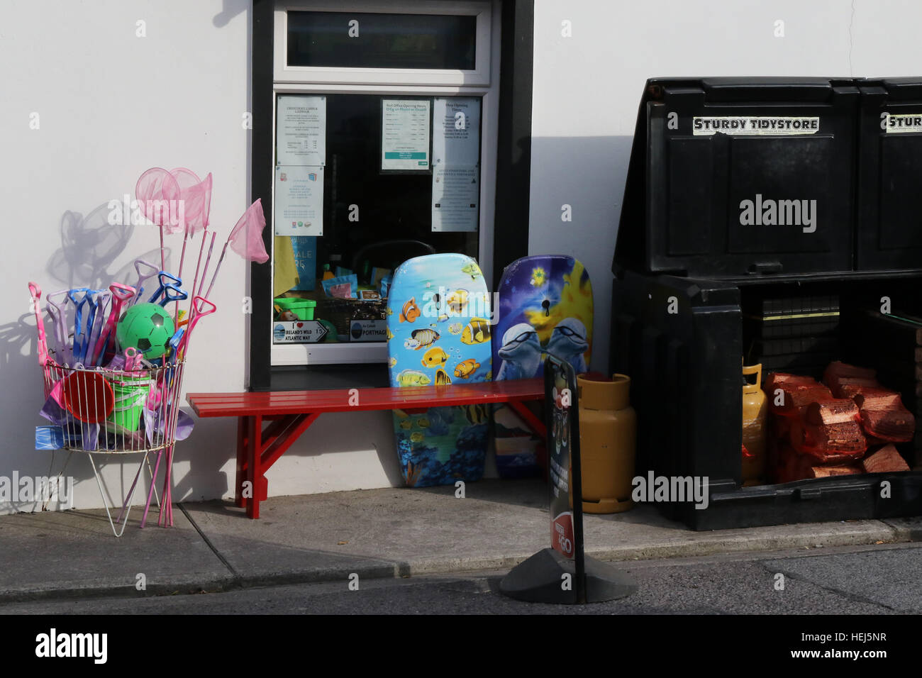 O' Connell es Foodstore - eine allgemeine Shop und Post im Dorf Portmagee, County Kerry, Irland. Stockfotohttps://www.alamy.de/image-license-details/?v=1https://www.alamy.de/stockfoto-o-connell-es-foodstore-eine-allgemeine-shop-und-post-im-dorf-portmagee-county-kerry-irland-129477427.html
RMHEJ5NR–O' Connell es Foodstore - eine allgemeine Shop und Post im Dorf Portmagee, County Kerry, Irland.
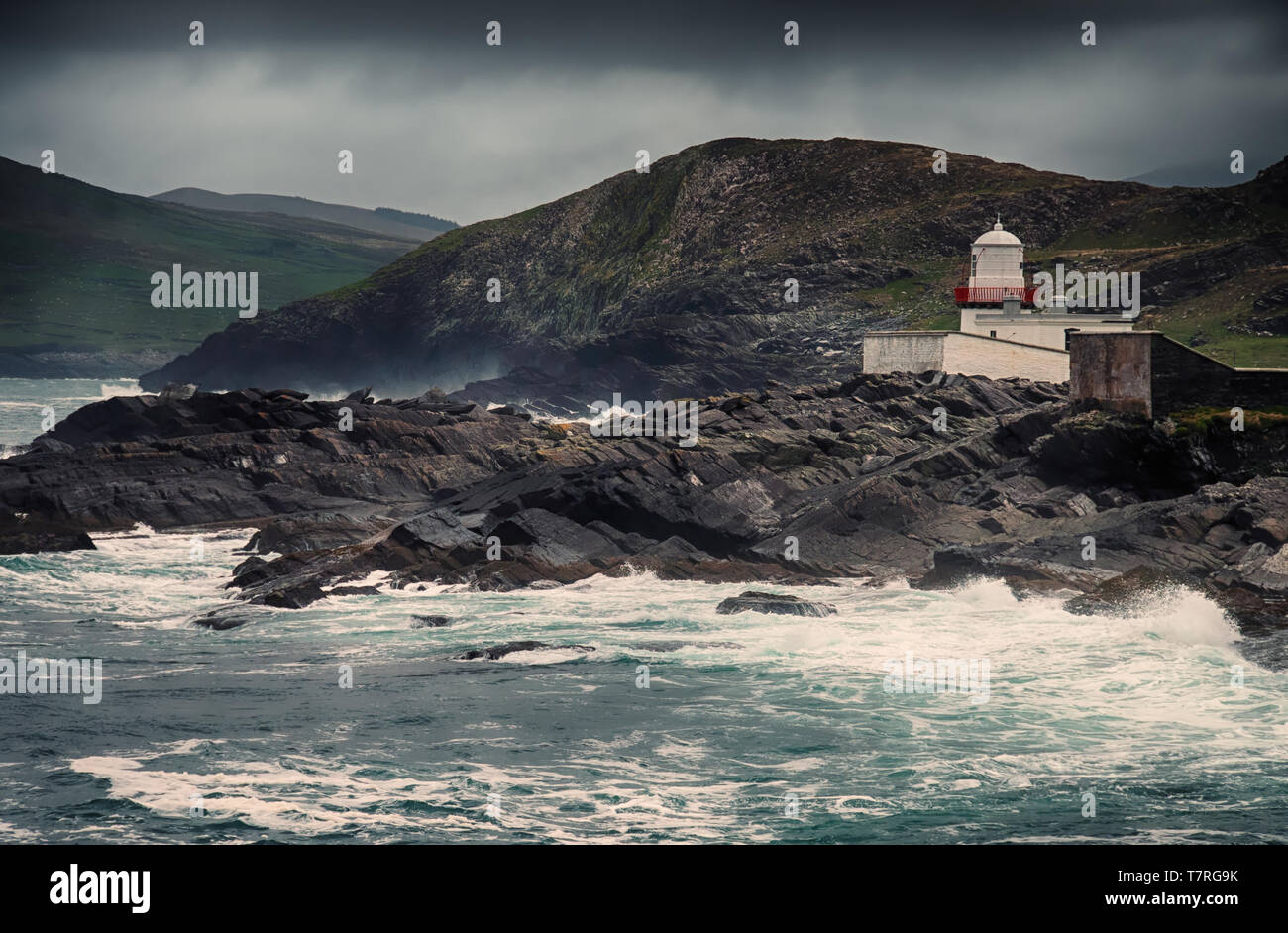 Cromwell Point Lighthouse Der Leuchtturm in Cromwell Punkt auf Valentia Island, sorgt für Boote sicher in Valentia Hafen ankommen. Stockfotohttps://www.alamy.de/image-license-details/?v=1https://www.alamy.de/cromwell-point-lighthouse-der-leuchtturm-in-cromwell-punkt-auf-valentia-island-sorgt-fur-boote-sicher-in-valentia-hafen-ankommen-image245765455.html
RFT7RG9K–Cromwell Point Lighthouse Der Leuchtturm in Cromwell Punkt auf Valentia Island, sorgt für Boote sicher in Valentia Hafen ankommen.
 Panoramablick auf das Dorf Knight's Town und den Hafen auf Valentia Island Stockfotohttps://www.alamy.de/image-license-details/?v=1https://www.alamy.de/panoramablick-auf-das-dorf-knights-town-und-den-hafen-auf-valentia-island-image503311730.html
RM2M6RR6X–Panoramablick auf das Dorf Knight's Town und den Hafen auf Valentia Island
 Bunte Eigenschaften Süd Markt Quadrat Sneem auf die N70. Stockfotohttps://www.alamy.de/image-license-details/?v=1https://www.alamy.de/stockfoto-bunte-eigenschaften-sud-markt-quadrat-sneem-auf-die-n70-108217270.html
RFG81M6E–Bunte Eigenschaften Süd Markt Quadrat Sneem auf die N70.
 Portmagee (dem Hafen), ein Dorf auf der Iveragh Halbinsel südlich von Valentia Island gelegen, lokal bekannt als "die Fähre", in bezug auf seine Purpos Stockfotohttps://www.alamy.de/image-license-details/?v=1https://www.alamy.de/portmagee-dem-hafen-ein-dorf-auf-der-iveragh-halbinsel-sudlich-von-valentia-island-gelegen-lokal-bekannt-als-die-fahre-in-bezug-auf-seine-purpos-image228759548.html
RFR84W3T–Portmagee (dem Hafen), ein Dorf auf der Iveragh Halbinsel südlich von Valentia Island gelegen, lokal bekannt als "die Fähre", in bezug auf seine Purpos
 Statue von Charlie Chaplin (1889 1977) an der Küste in Waterville, County Kerry, Irland Stockfotohttps://www.alamy.de/image-license-details/?v=1https://www.alamy.de/stockfoto-statue-von-charlie-chaplin-1889-1977-an-der-kuste-in-waterville-county-kerry-irland-163334667.html
RMKDMF0Y–Statue von Charlie Chaplin (1889 1977) an der Küste in Waterville, County Kerry, Irland
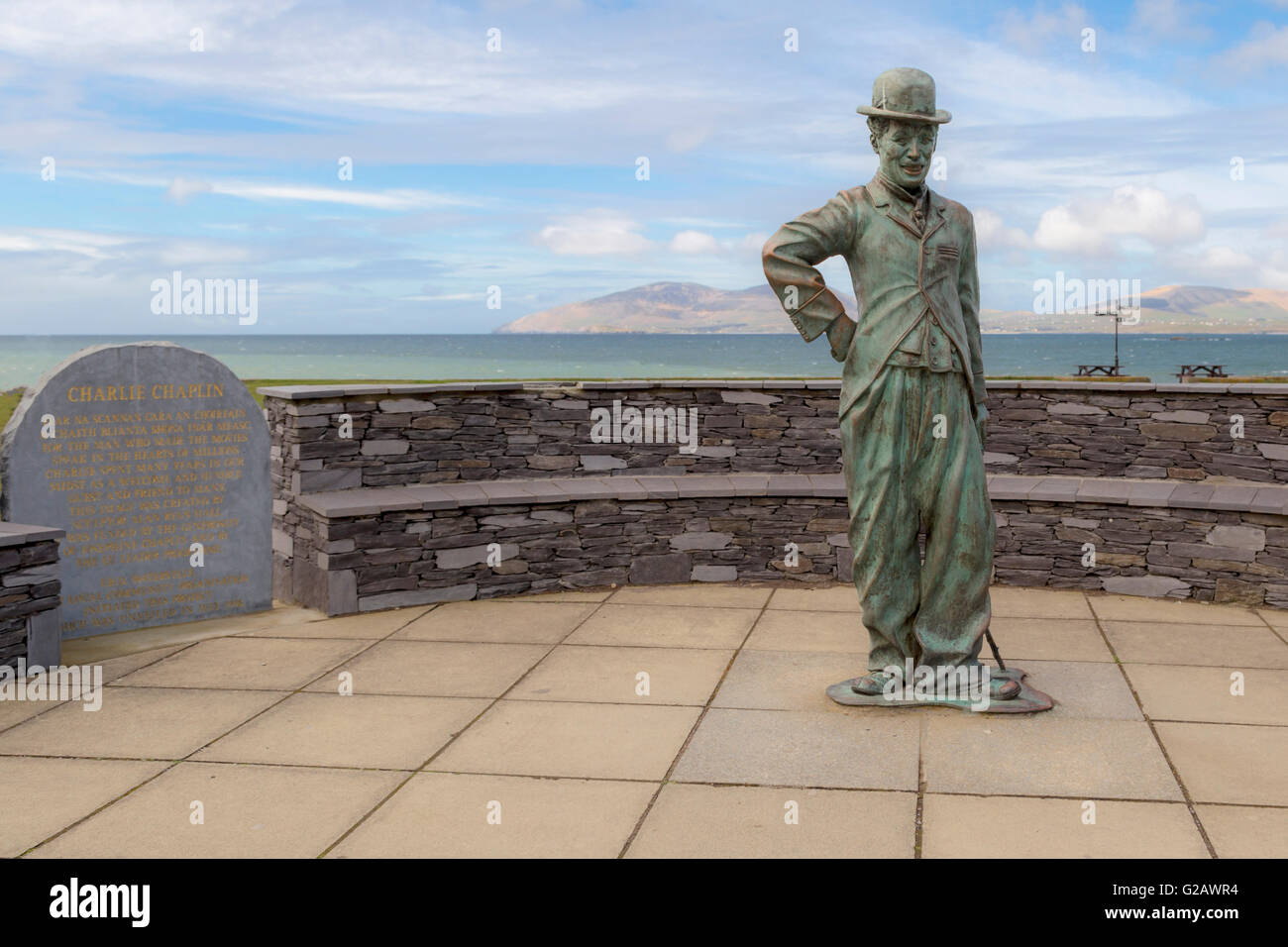 Statue von Charlie Chaplin in Waterville, auf dem Ring of Kerry, Iveragh-Halbinsel, Nord-Atlantik, County Kerry, Irland. Stockfotohttps://www.alamy.de/image-license-details/?v=1https://www.alamy.de/stockfoto-statue-von-charlie-chaplin-in-waterville-auf-dem-ring-of-kerry-iveragh-halbinsel-nord-atlantik-county-kerry-irland-104731288.html
RMG2AWR4–Statue von Charlie Chaplin in Waterville, auf dem Ring of Kerry, Iveragh-Halbinsel, Nord-Atlantik, County Kerry, Irland.
 Blick von den Kerry Cliffs auf grasende Rinder auf Feldern und Weiden der Halbinsel Iveragh, Gebirgskette im Hintergrund, Portmagee, Ring of Kerry, Irland Stockfotohttps://www.alamy.de/image-license-details/?v=1https://www.alamy.de/blick-von-den-kerry-cliffs-auf-grasende-rinder-auf-feldern-und-weiden-der-halbinsel-iveragh-gebirgskette-im-hintergrund-portmagee-ring-of-kerry-irland-image446786704.html
RF2GXTW00–Blick von den Kerry Cliffs auf grasende Rinder auf Feldern und Weiden der Halbinsel Iveragh, Gebirgskette im Hintergrund, Portmagee, Ring of Kerry, Irland
 Werbung Fahrrad außerhalb der Geschenk-und Irish-Musik-Shop im Dorf Sneem auf der Halbinsel Iveragh, Grafschaft Kerry in Irland Stockfotohttps://www.alamy.de/image-license-details/?v=1https://www.alamy.de/werbung-fahrrad-ausserhalb-der-geschenk-und-irish-musik-shop-im-dorf-sneem-auf-der-halbinsel-iveragh-grafschaft-kerry-in-irland-image370414551.html
RF2CEHRF3–Werbung Fahrrad außerhalb der Geschenk-und Irish-Musik-Shop im Dorf Sneem auf der Halbinsel Iveragh, Grafschaft Kerry in Irland
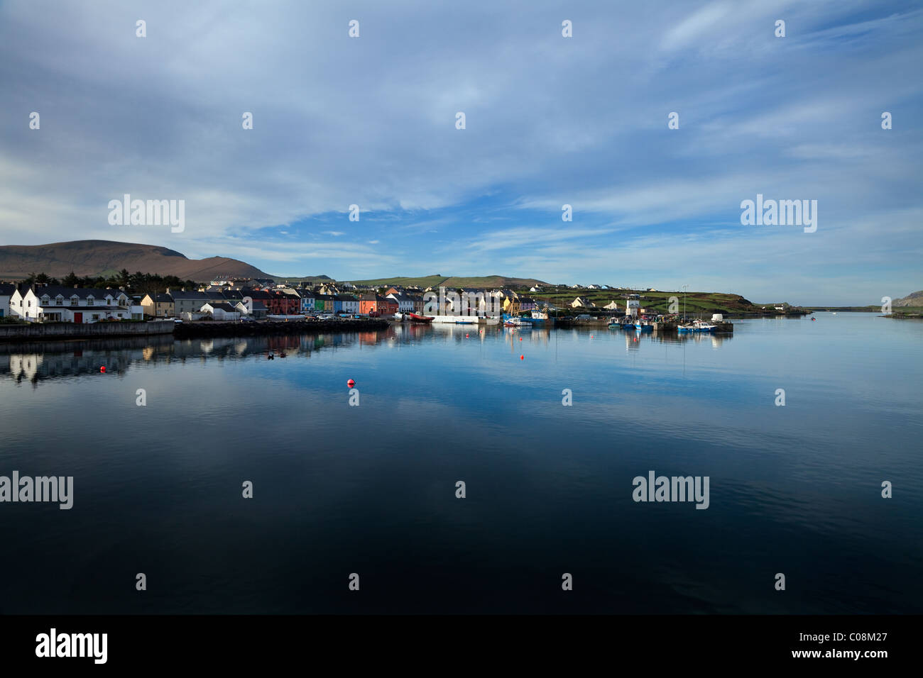 Der Hafen von Portmagee auf dem Ring of Kerry, County Kerry, Irland Stockfotohttps://www.alamy.de/image-license-details/?v=1https://www.alamy.de/stockfoto-der-hafen-von-portmagee-auf-dem-ring-of-kerry-county-kerry-irland-34612095.html
RMC08M27–Der Hafen von Portmagee auf dem Ring of Kerry, County Kerry, Irland
 Der Blick aus dem Dorf Waterville auf der Iveragh Halbinsel, im County Kerry, Republik Irland. Stockfotohttps://www.alamy.de/image-license-details/?v=1https://www.alamy.de/der-blick-aus-dem-dorf-waterville-auf-der-iveragh-halbinsel-im-county-kerry-republik-irland-image219723338.html
RFPND7A2–Der Blick aus dem Dorf Waterville auf der Iveragh Halbinsel, im County Kerry, Republik Irland.
 Blick auf Knightstown auf Valentia Island vom Renard Point auf dem Festland Stockfotohttps://www.alamy.de/image-license-details/?v=1https://www.alamy.de/blick-auf-knightstown-auf-valentia-island-vom-renard-point-auf-dem-festland-image474385173.html
RM2JFP33H–Blick auf Knightstown auf Valentia Island vom Renard Point auf dem Festland
 Blick von den Kerry Cliffs auf ruhende oder grasende Rinder auf Feldern und Weiden mit wunderschönen Fjorden im Hintergrund, Portmagee, Ring of Kerry, Irland Stockfotohttps://www.alamy.de/image-license-details/?v=1https://www.alamy.de/blick-von-den-kerry-cliffs-auf-ruhende-oder-grasende-rinder-auf-feldern-und-weiden-mit-wunderschonen-fjorden-im-hintergrund-portmagee-ring-of-kerry-irland-image447039278.html
RF2GY8B4E–Blick von den Kerry Cliffs auf ruhende oder grasende Rinder auf Feldern und Weiden mit wunderschönen Fjorden im Hintergrund, Portmagee, Ring of Kerry, Irland
 Das Dorf von Waterville auf der Iveragh-Halbinsel; Waterville County Kerry Irland Stockfotohttps://www.alamy.de/image-license-details/?v=1https://www.alamy.de/stockfoto-das-dorf-von-waterville-auf-der-iveragh-halbinsel-waterville-county-kerry-irland-56219914.html
RFD7D122–Das Dorf von Waterville auf der Iveragh-Halbinsel; Waterville County Kerry Irland
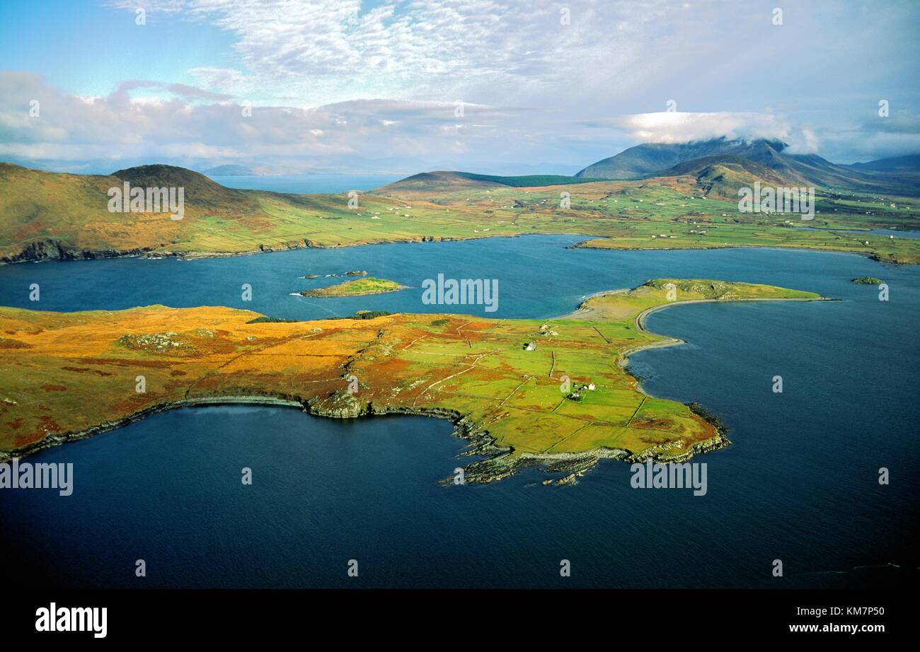 Aus der Vogelperspektive über Beanish Island in Richtung Dorf Cahirsiveen auf der Iveragh Peninsula im County Kerry, Irland Stockfotohttps://www.alamy.de/image-license-details/?v=1https://www.alamy.de/stockfoto-aus-der-vogelperspektive-uber-beanish-island-in-richtung-dorf-cahirsiveen-auf-der-iveragh-peninsula-im-county-kerry-irland-167357484.html
RMKM7P50–Aus der Vogelperspektive über Beanish Island in Richtung Dorf Cahirsiveen auf der Iveragh Peninsula im County Kerry, Irland
 Juni 5th, 2018, Portmagee, Irland - Dorf auf der Iveragh Halbinsel südlich von Valentia Island entfernt. Stockfotohttps://www.alamy.de/image-license-details/?v=1https://www.alamy.de/juni-5th-2018-portmagee-irland-dorf-auf-der-iveragh-halbinsel-sudlich-von-valentia-island-entfernt-image207127487.html
RFP0YD67–Juni 5th, 2018, Portmagee, Irland - Dorf auf der Iveragh Halbinsel südlich von Valentia Island entfernt.
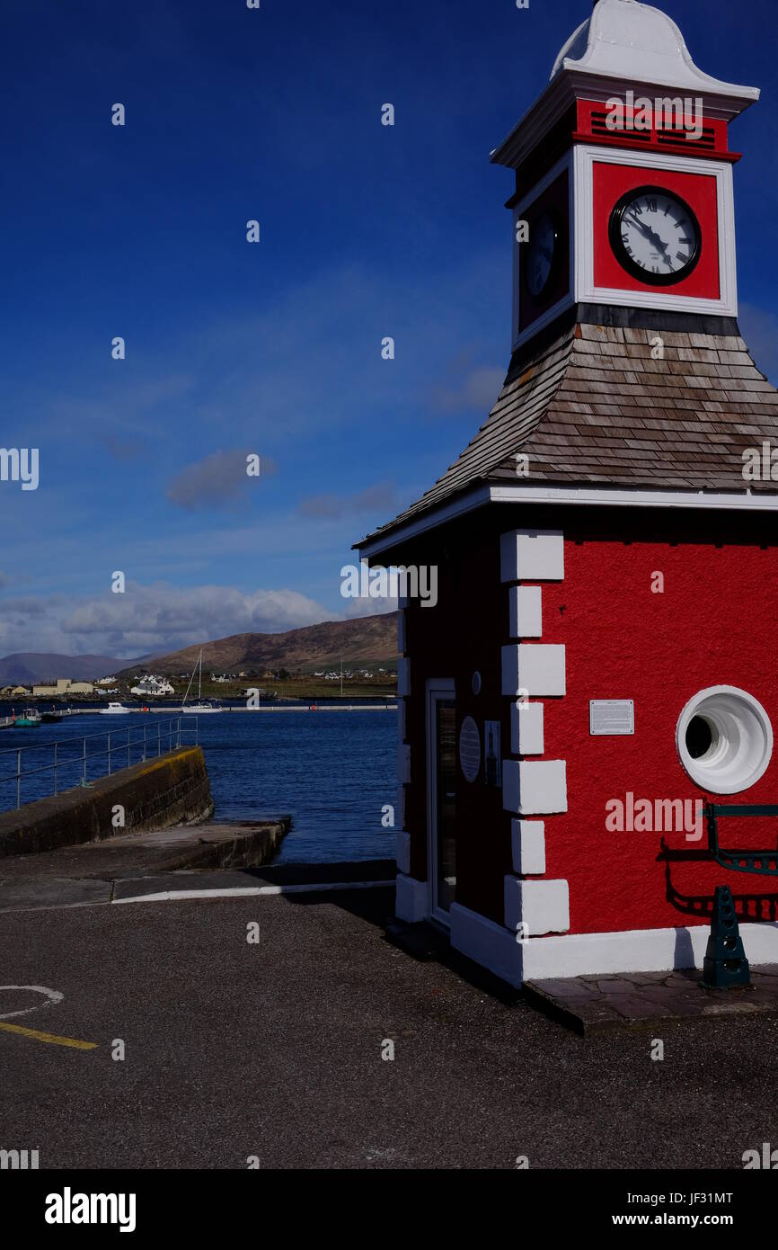 Der Uhrturm in Knightstown, Valentia Island, County Kerry, Irland. Ein Ziel auf dem Ring of Kerry & Wild Atlantic Way. Stockfotohttps://www.alamy.de/image-license-details/?v=1https://www.alamy.de/stockfoto-der-uhrturm-in-knightstown-valentia-island-county-kerry-irland-ein-ziel-auf-dem-ring-of-kerry-wild-atlantic-way-146970008.html
RMJF31MT–Der Uhrturm in Knightstown, Valentia Island, County Kerry, Irland. Ein Ziel auf dem Ring of Kerry & Wild Atlantic Way.
 Großbritannien, Irland, County Kerry, Iveragh-Halbinsel, Portmagee, Netze und Seile am Ufer und Boote festmachen im Hafen Stockfotohttps://www.alamy.de/image-license-details/?v=1https://www.alamy.de/stockfoto-grossbritannien-irland-county-kerry-iveragh-halbinsel-portmagee-netze-und-seile-am-ufer-und-boote-festmachen-im-hafen-85802722.html
RMEYGJ6X–Großbritannien, Irland, County Kerry, Iveragh-Halbinsel, Portmagee, Netze und Seile am Ufer und Boote festmachen im Hafen
 Natürliches Tor zum Dorf Portmagee zwischen Bray Head und den Kerry Cliffs vom Boot aus auf der Halbinsel Iveragh am Atlantik, Ring of Kerry, Irland Stockfotohttps://www.alamy.de/image-license-details/?v=1https://www.alamy.de/naturliches-tor-zum-dorf-portmagee-zwischen-bray-head-und-den-kerry-cliffs-vom-boot-aus-auf-der-halbinsel-iveragh-am-atlantik-ring-of-kerry-irland-image429973712.html
RF2FYEYT0–Natürliches Tor zum Dorf Portmagee zwischen Bray Head und den Kerry Cliffs vom Boot aus auf der Halbinsel Iveragh am Atlantik, Ring of Kerry, Irland
 O' Connell es Foodstore - eine allgemeine Shop und Post im Dorf Portmagee, County Kerry, Irland. Stockfotohttps://www.alamy.de/image-license-details/?v=1https://www.alamy.de/stockfoto-o-connell-es-foodstore-eine-allgemeine-shop-und-post-im-dorf-portmagee-county-kerry-irland-129437929.html
RMHEGBB5–O' Connell es Foodstore - eine allgemeine Shop und Post im Dorf Portmagee, County Kerry, Irland.
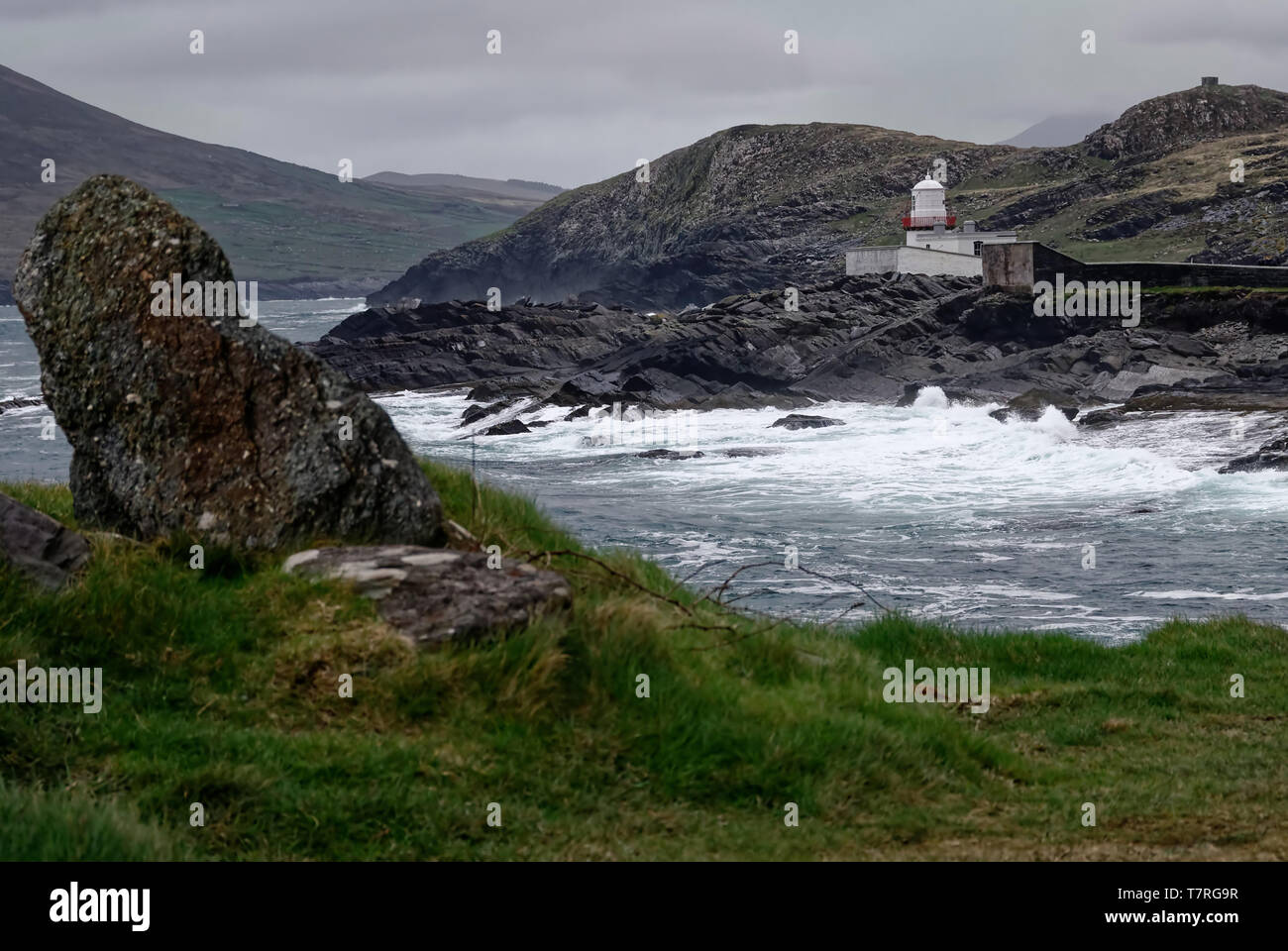 Cromwell Point Lighthouse Der Leuchtturm in Cromwell Punkt auf Valentia Island, sorgt für Boote sicher in Valentia Hafen ankommen. Stockfotohttps://www.alamy.de/image-license-details/?v=1https://www.alamy.de/cromwell-point-lighthouse-der-leuchtturm-in-cromwell-punkt-auf-valentia-island-sorgt-fur-boote-sicher-in-valentia-hafen-ankommen-image245765459.html
RFT7RG9R–Cromwell Point Lighthouse Der Leuchtturm in Cromwell Punkt auf Valentia Island, sorgt für Boote sicher in Valentia Hafen ankommen.
 Religiöse Statue in Kilgarvan Dorf auf dem Ring of Kerry oder Iveragh Halbinsel; County Kerry, Irland Stockfotohttps://www.alamy.de/image-license-details/?v=1https://www.alamy.de/stockfoto-religiose-statue-in-kilgarvan-dorf-auf-dem-ring-of-kerry-oder-iveragh-halbinsel-county-kerry-irland-85669776.html
RMEYAGJT–Religiöse Statue in Kilgarvan Dorf auf dem Ring of Kerry oder Iveragh Halbinsel; County Kerry, Irland
 Blick von den Kerry Cliffs auf ruhende oder grasende Rinder auf Feldern und Weiden Stockfotohttps://www.alamy.de/image-license-details/?v=1https://www.alamy.de/blick-von-den-kerry-cliffs-auf-ruhende-oder-grasende-rinder-auf-feldern-und-weiden-image477285729.html
RF2JME6PW–Blick von den Kerry Cliffs auf ruhende oder grasende Rinder auf Feldern und Weiden
 Strand und Häuser auf der Iveragh-Halbinsel; Waterville County Kerry Irland Stockfotohttps://www.alamy.de/image-license-details/?v=1https://www.alamy.de/stockfoto-strand-und-hauser-auf-der-iveragh-halbinsel-waterville-county-kerry-irland-85668703.html
RMEYAF8F–Strand und Häuser auf der Iveragh-Halbinsel; Waterville County Kerry Irland
 Statue des Fußballstars Mick O'Dwyer an der Strandpromenade in Waterville, County Kerry, Irland Stockfotohttps://www.alamy.de/image-license-details/?v=1https://www.alamy.de/stockfoto-statue-des-fussballstars-mick-odwyer-an-der-strandpromenade-in-waterville-county-kerry-irland-163901203.html
RMKEJ9JB–Statue des Fußballstars Mick O'Dwyer an der Strandpromenade in Waterville, County Kerry, Irland
 Blick von den Kerry Cliffs auf die umliegenden Hügel, die von grünen Feldern, Weiden und Farmen bedeckt sind Stockfotohttps://www.alamy.de/image-license-details/?v=1https://www.alamy.de/blick-von-den-kerry-cliffs-auf-die-umliegenden-hugel-die-von-grunen-feldern-weiden-und-farmen-bedeckt-sind-image477281626.html
RF2JME1GA–Blick von den Kerry Cliffs auf die umliegenden Hügel, die von grünen Feldern, Weiden und Farmen bedeckt sind
 Sneem und seine bemalten Häuser, in der Grafschaft Kerry Irland Stockfotohttps://www.alamy.de/image-license-details/?v=1https://www.alamy.de/sneem-und-seine-bemalten-hauser-in-der-grafschaft-kerry-irland-image438100370.html
RM2GCN5DP–Sneem und seine bemalten Häuser, in der Grafschaft Kerry Irland
 Der Wasserfall auf dem Fluss Sneem, wie er durch das Dorf Sneem auf dem Weg zum Meer passiert. Iveragh Halbinsel, Grafschaft Kerry in Irland Stockfotohttps://www.alamy.de/image-license-details/?v=1https://www.alamy.de/der-wasserfall-auf-dem-fluss-sneem-wie-er-durch-das-dorf-sneem-auf-dem-weg-zum-meer-passiert-iveragh-halbinsel-grafschaft-kerry-in-irland-image369778872.html
RF2CDGTM8–Der Wasserfall auf dem Fluss Sneem, wie er durch das Dorf Sneem auf dem Weg zum Meer passiert. Iveragh Halbinsel, Grafschaft Kerry in Irland
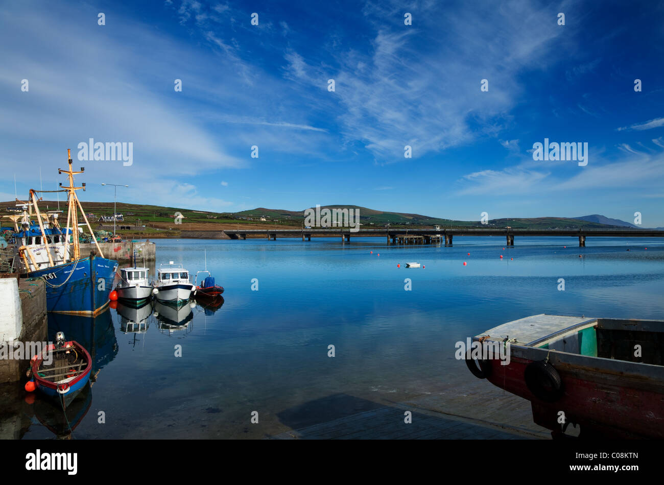 Brücke nach Valentia Island und Fischerhafen am Portmagee auf dem Ring of Kerry, County Kerry, Irland Stockfotohttps://www.alamy.de/image-license-details/?v=1https://www.alamy.de/stockfoto-brucke-nach-valentia-island-und-fischerhafen-am-portmagee-auf-dem-ring-of-kerry-county-kerry-irland-34611941.html
RMC08KTN–Brücke nach Valentia Island und Fischerhafen am Portmagee auf dem Ring of Kerry, County Kerry, Irland
 Der Blick aus dem Dorf Waterville auf der Iveragh Halbinsel, im County Kerry, Republik Irland. Stockfotohttps://www.alamy.de/image-license-details/?v=1https://www.alamy.de/der-blick-aus-dem-dorf-waterville-auf-der-iveragh-halbinsel-im-county-kerry-republik-irland-image219723340.html
RFPND7A4–Der Blick aus dem Dorf Waterville auf der Iveragh Halbinsel, im County Kerry, Republik Irland.
 Haus-Fenster in Kilgarvan Dorf auf dem Ring of Kerry oder Iveragh Halbinsel; County Kerry, Irland Stockfotohttps://www.alamy.de/image-license-details/?v=1https://www.alamy.de/stockfoto-haus-fenster-in-kilgarvan-dorf-auf-dem-ring-of-kerry-oder-iveragh-halbinsel-county-kerry-irland-85669473.html
RMEYAG81–Haus-Fenster in Kilgarvan Dorf auf dem Ring of Kerry oder Iveragh Halbinsel; County Kerry, Irland
 Ballinskelligs Castle in der Nähe von Ballinskelligs Village auf der Halbinsel Iveragh, County Kerry, Irland Stockfotohttps://www.alamy.de/image-license-details/?v=1https://www.alamy.de/ballinskelligs-castle-in-der-nahe-von-ballinskelligs-village-auf-der-halbinsel-iveragh-county-kerry-irland-image479177808.html
RF2JRGC54–Ballinskelligs Castle in der Nähe von Ballinskelligs Village auf der Halbinsel Iveragh, County Kerry, Irland
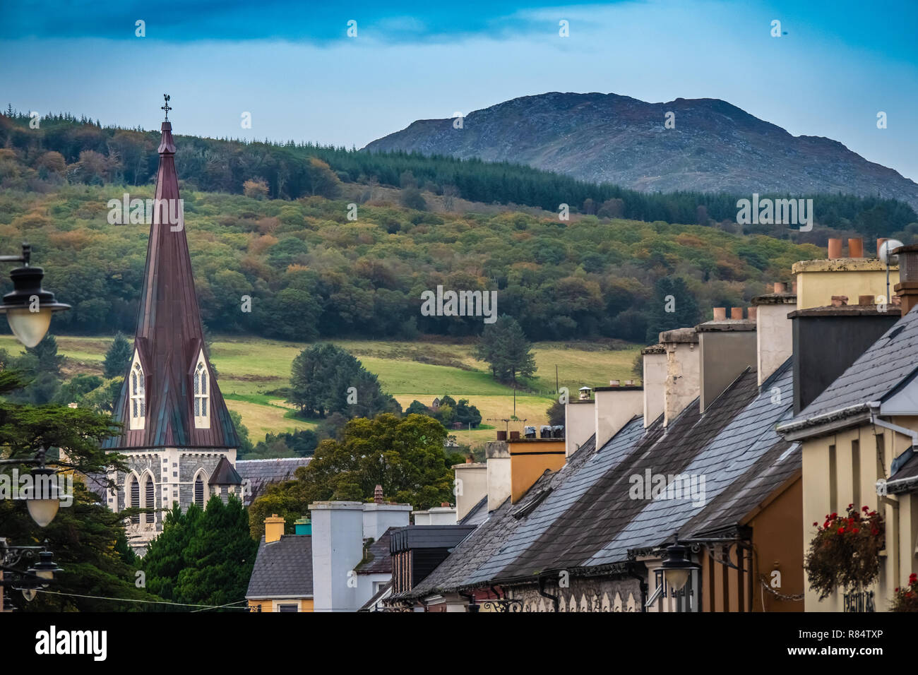 Die charmante kleine Stadt Kenmare (kleines Nest), am Ring of Kerry und den Ring of Beara, im Süden der Grafschaft Kerry, Irland. Stockfotohttps://www.alamy.de/image-license-details/?v=1https://www.alamy.de/die-charmante-kleine-stadt-kenmare-kleines-nest-am-ring-of-kerry-und-den-ring-of-beara-im-suden-der-grafschaft-kerry-irland-image228759406.html
RFR84TXP–Die charmante kleine Stadt Kenmare (kleines Nest), am Ring of Kerry und den Ring of Beara, im Süden der Grafschaft Kerry, Irland.
 Luftbild Ost über Beginish Insel in Richtung Dorf von Cahirsiveen auf der Iveragh-Halbinsel, County Kerry, Irland. Stockfotohttps://www.alamy.de/image-license-details/?v=1https://www.alamy.de/luftbild-ost-uber-beginish-insel-in-richtung-dorf-von-cahirsiveen-auf-der-iveragh-halbinsel-county-kerry-irland-image1954277.html
RMA2N1E6–Luftbild Ost über Beginish Insel in Richtung Dorf von Cahirsiveen auf der Iveragh-Halbinsel, County Kerry, Irland.
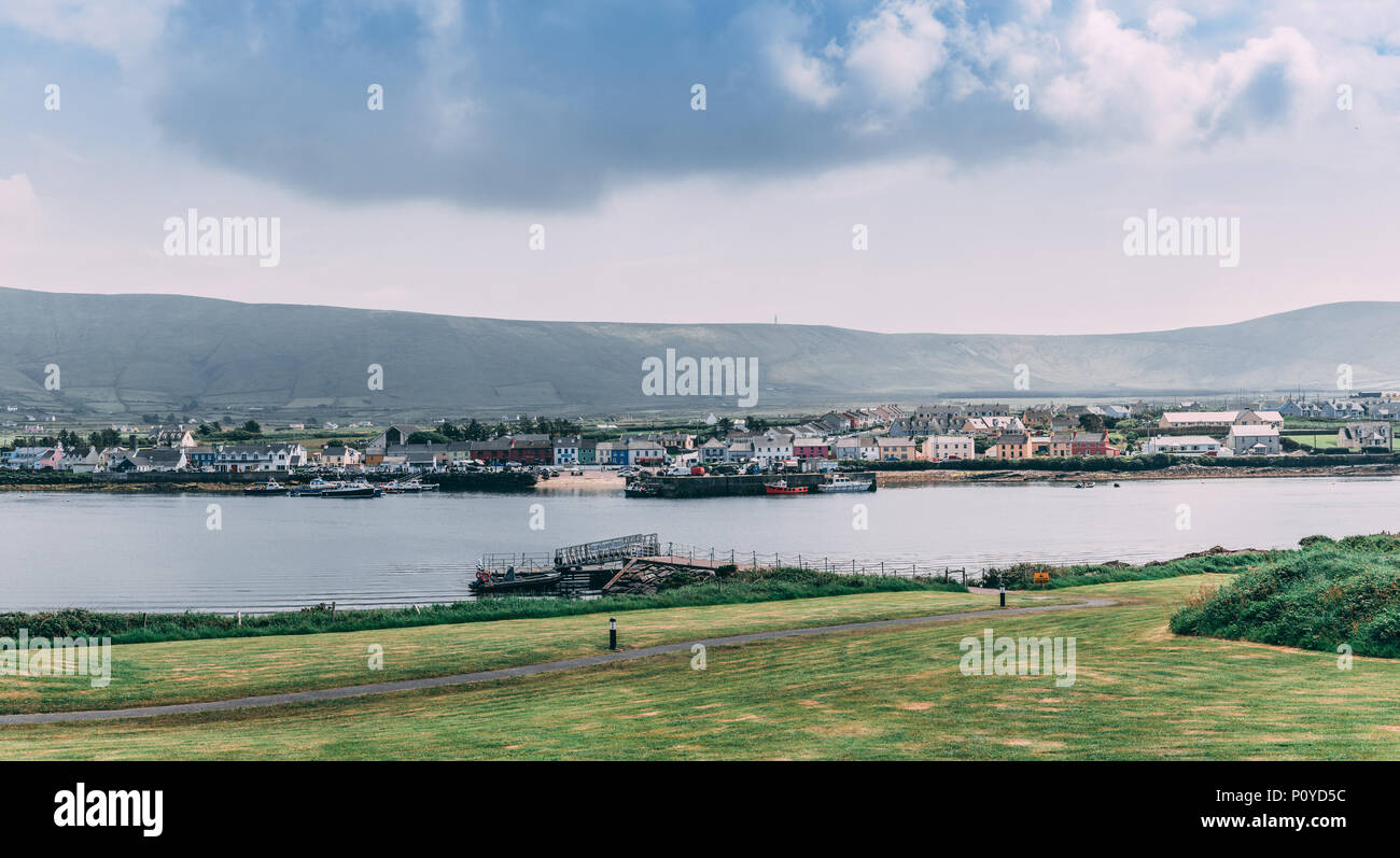 Juni 5th, 2018, Portmagee, Irland - Dorf auf der Iveragh Halbinsel südlich von Valentia Island entfernt. Stockfotohttps://www.alamy.de/image-license-details/?v=1https://www.alamy.de/juni-5th-2018-portmagee-irland-dorf-auf-der-iveragh-halbinsel-sudlich-von-valentia-island-entfernt-image207127464.html
RFP0YD5C–Juni 5th, 2018, Portmagee, Irland - Dorf auf der Iveragh Halbinsel südlich von Valentia Island entfernt.
 Fischer in Motorboot Schleppnetzfischerei auf dem ruhigen Wasser; Portmagee, Iveragh-Halbinsel, County Kerry, Irland, Großbritannien Stockfotohttps://www.alamy.de/image-license-details/?v=1https://www.alamy.de/stockfoto-fischer-in-motorboot-schleppnetzfischerei-auf-dem-ruhigen-wasser-portmagee-iveragh-halbinsel-county-kerry-irland-grossbritannien-85802039.html
RMEYGHAF–Fischer in Motorboot Schleppnetzfischerei auf dem ruhigen Wasser; Portmagee, Iveragh-Halbinsel, County Kerry, Irland, Großbritannien
 Erhöhte Ansicht der Häuser auf Hügel, Kells Bay, Ring Of Kerry, Iveragh-Halbinsel, County Kerry, Munster, Irland Stockfotohttps://www.alamy.de/image-license-details/?v=1https://www.alamy.de/stockfoto-erhohte-ansicht-der-hauser-auf-hugel-kells-bay-ring-of-kerry-iveragh-halbinsel-county-kerry-munster-irland-18755867.html
RMB2EB8B–Erhöhte Ansicht der Häuser auf Hügel, Kells Bay, Ring Of Kerry, Iveragh-Halbinsel, County Kerry, Munster, Irland
 Blick von den Kerry Cliffs auf grasende Rinder auf Feldern und Weiden der Halbinsel Iveragh, Gebirgskette im Hintergrund, Portmagee, Ring of Kerry, Irland Stockfotohttps://www.alamy.de/image-license-details/?v=1https://www.alamy.de/blick-von-den-kerry-cliffs-auf-grasende-rinder-auf-feldern-und-weiden-der-halbinsel-iveragh-gebirgskette-im-hintergrund-portmagee-ring-of-kerry-irland-image426144252.html
RF2FN8F9G–Blick von den Kerry Cliffs auf grasende Rinder auf Feldern und Weiden der Halbinsel Iveragh, Gebirgskette im Hintergrund, Portmagee, Ring of Kerry, Irland
 O' Connell es Foodstore - eine allgemeine Shop und Post im Dorf Portmagee, County Kerry, Irland. Stockfotohttps://www.alamy.de/image-license-details/?v=1https://www.alamy.de/stockfoto-o-connell-es-foodstore-eine-allgemeine-shop-und-post-im-dorf-portmagee-county-kerry-irland-129437927.html
RMHEGBB3–O' Connell es Foodstore - eine allgemeine Shop und Post im Dorf Portmagee, County Kerry, Irland.
 Die Schiefergrube zuerst im Jahre 1816 unter der Leitung des Ritters von Kerry geöffnet und hat eine Arbeitsgruppe Steinbruch Ein- und Ausschalten seit diesem Zeitpunkt. Berühmt für Stockfotohttps://www.alamy.de/image-license-details/?v=1https://www.alamy.de/die-schiefergrube-zuerst-im-jahre-1816-unter-der-leitung-des-ritters-von-kerry-geoffnet-und-hat-eine-arbeitsgruppe-steinbruch-ein-und-ausschalten-seit-diesem-zeitpunkt-beruhmt-fur-image245758785.html
RFT7R7RD–Die Schiefergrube zuerst im Jahre 1816 unter der Leitung des Ritters von Kerry geöffnet und hat eine Arbeitsgruppe Steinbruch Ein- und Ausschalten seit diesem Zeitpunkt. Berühmt für
 Bunte Zeitschriftenläden Shop und Café in North Square am "Ring of Kerry". Iveragh Halbinsel Sneem Co Kerry Eire Stockfotohttps://www.alamy.de/image-license-details/?v=1https://www.alamy.de/stockfoto-bunte-zeitschriftenladen-shop-und-caf-in-north-square-am-ring-of-kerry-iveragh-halbinsel-sneem-co-kerry-eire-11563862.html
RMA6FPWY–Bunte Zeitschriftenläden Shop und Café in North Square am "Ring of Kerry". Iveragh Halbinsel Sneem Co Kerry Eire
 Großbritannien, Irland, County Kerry, Iveragh-Halbinsel, Portmagee, Frau zu Fuß am Ufer neben Fischerbooten im Hafen Stockfotohttps://www.alamy.de/image-license-details/?v=1https://www.alamy.de/stockfoto-grossbritannien-irland-county-kerry-iveragh-halbinsel-portmagee-frau-zu-fuss-am-ufer-neben-fischerbooten-im-hafen-85802113.html
RMEYGHD5–Großbritannien, Irland, County Kerry, Iveragh-Halbinsel, Portmagee, Frau zu Fuß am Ufer neben Fischerbooten im Hafen
 Detail der Bronzestatue von Mick O' Dwyer, einem berühmten gälische Fußballer, Waterville, Provinz County Kerry, Munster, Irland. Stockfotohttps://www.alamy.de/image-license-details/?v=1https://www.alamy.de/stockfoto-detail-der-bronzestatue-von-mick-o-dwyer-einem-beruhmten-galische-fussballer-waterville-provinz-county-kerry-munster-irland-104731287.html
RMG2AWR3–Detail der Bronzestatue von Mick O' Dwyer, einem berühmten gälische Fußballer, Waterville, Provinz County Kerry, Munster, Irland.
 Statue von Charlie Chaplin (1889 1977) an der Küste in Waterville, County Kerry, Irland Stockfotohttps://www.alamy.de/image-license-details/?v=1https://www.alamy.de/stockfoto-statue-von-charlie-chaplin-1889-1977-an-der-kuste-in-waterville-county-kerry-irland-163901172.html
RMKEJ9H8–Statue von Charlie Chaplin (1889 1977) an der Küste in Waterville, County Kerry, Irland
 UK, Irland, County Kerry, Iveragh-Halbinsel, Portmagee Fischer stand auf nassen Ufer neben großen Fischereifahrzeug Stockfotohttps://www.alamy.de/image-license-details/?v=1https://www.alamy.de/stockfoto-uk-irland-county-kerry-iveragh-halbinsel-portmagee-fischer-stand-auf-nassen-ufer-neben-grossen-fischereifahrzeug-85802050.html
RMEYGHAX–UK, Irland, County Kerry, Iveragh-Halbinsel, Portmagee Fischer stand auf nassen Ufer neben großen Fischereifahrzeug
 Sneem und seine bemalten Häuser, in der Grafschaft Kerry Irland Stockfotohttps://www.alamy.de/image-license-details/?v=1https://www.alamy.de/sneem-und-seine-bemalten-hauser-in-der-grafschaft-kerry-irland-image438100301.html
RM2GCN5B9–Sneem und seine bemalten Häuser, in der Grafschaft Kerry Irland
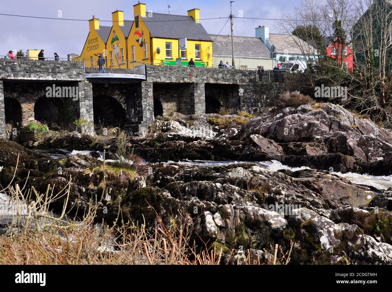 Hell bemalte Taverne im Dorf Sneem mit dem Wasserfall auf dem Fluss Sneem im Vordergrund. Iveragh Halbinsel, Grafschaft Kerry in Irland Stockfotohttps://www.alamy.de/image-license-details/?v=1https://www.alamy.de/hell-bemalte-taverne-im-dorf-sneem-mit-dem-wasserfall-auf-dem-fluss-sneem-im-vordergrund-iveragh-halbinsel-grafschaft-kerry-in-irland-image369778881.html
RF2CDGTMH–Hell bemalte Taverne im Dorf Sneem mit dem Wasserfall auf dem Fluss Sneem im Vordergrund. Iveragh Halbinsel, Grafschaft Kerry in Irland
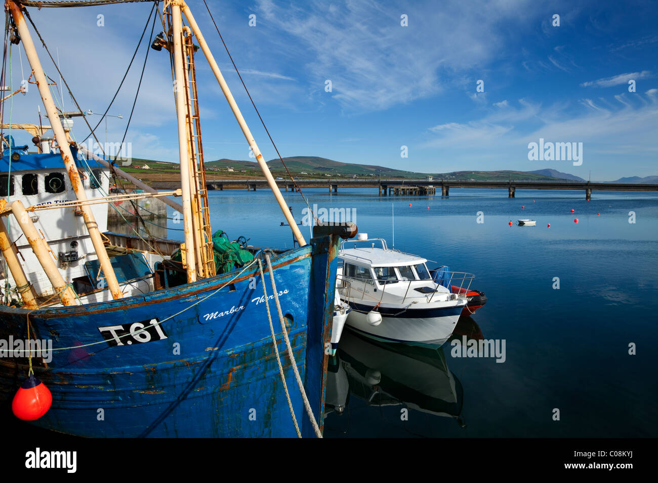 Brücke nach Valentia Island und Fischerhafen von Portmagee auf dem Ring of Kerry, County Kerry, Irland Stockfotohttps://www.alamy.de/image-license-details/?v=1https://www.alamy.de/stockfoto-brucke-nach-valentia-island-und-fischerhafen-von-portmagee-auf-dem-ring-of-kerry-county-kerry-irland-34612022.html
RMC08KYJ–Brücke nach Valentia Island und Fischerhafen von Portmagee auf dem Ring of Kerry, County Kerry, Irland
 Der atemberaubende Blick aus dem Dorf Waterville auf der Iveragh Halbinsel, im County Kerry, Republik Irland. Stockfotohttps://www.alamy.de/image-license-details/?v=1https://www.alamy.de/der-atemberaubende-blick-aus-dem-dorf-waterville-auf-der-iveragh-halbinsel-im-county-kerry-republik-irland-image219841533.html
RFPNJJ39–Der atemberaubende Blick aus dem Dorf Waterville auf der Iveragh Halbinsel, im County Kerry, Republik Irland.
