Tatio geothermisches gebiet Stockfotos & Bilder
(365)tatio geothermisches gebiet-Stockvideoclips ansehenTatio geothermisches gebiet Stockfotos & Bilder
 El Tatio Geyser, Atacama Wüste, Antofagasto Region, Chile Stockfotohttps://www.alamy.de/image-license-details/?v=1https://www.alamy.de/el-tatio-geyser-atacama-wuste-antofagasto-region-chile-image555734446.html
RM2R83TXP–El Tatio Geyser, Atacama Wüste, Antofagasto Region, Chile
 Die vom Dampf verdeckte Sonne auf dem Geysir- und Geothermiegebiet El Tatio, hoch in den Anden, Atacama-Region, Nordchile, Südamerika Stockfotohttps://www.alamy.de/image-license-details/?v=1https://www.alamy.de/die-vom-dampf-verdeckte-sonne-auf-dem-geysir-und-geothermiegebiet-el-tatio-hoch-in-den-anden-atacama-region-nordchile-sudamerika-image389665745.html
RF2DHXPHN–Die vom Dampf verdeckte Sonne auf dem Geysir- und Geothermiegebiet El Tatio, hoch in den Anden, Atacama-Region, Nordchile, Südamerika
 Geysirfeld El Tatio in Atacama-Region, Chile Stockfotohttps://www.alamy.de/image-license-details/?v=1https://www.alamy.de/stockfoto-geysirfeld-el-tatio-in-atacama-region-chile-32333926.html
RFBTGX72–Geysirfeld El Tatio in Atacama-Region, Chile
 Wunderschöne bunte vulkanische geothermische Landschaft, orangefarbene Berge, Bäche blaues Wasser, weißes Salz und gelbe Schwefelschollen - El Tatio Stockfotohttps://www.alamy.de/image-license-details/?v=1https://www.alamy.de/wunderschone-bunte-vulkanische-geothermische-landschaft-orangefarbene-berge-bache-blaues-wasser-weisses-salz-und-gelbe-schwefelschollen-el-tatio-image535159983.html
RF2P2JJ0F–Wunderschöne bunte vulkanische geothermische Landschaft, orangefarbene Berge, Bäche blaues Wasser, weißes Salz und gelbe Schwefelschollen - El Tatio
 Sonnenaufgang im Geyser El Tatio, San Pedro de Atacama, Chile. Stockfotohttps://www.alamy.de/image-license-details/?v=1https://www.alamy.de/sonnenaufgang-im-geyser-el-tatio-san-pedro-de-atacama-chile-image503104626.html
RM2M6EB2A–Sonnenaufgang im Geyser El Tatio, San Pedro de Atacama, Chile.
 Sonnenaufgang im Geyser El Tatio, San Pedro de Atacama, Chile. Stockfotohttps://www.alamy.de/image-license-details/?v=1https://www.alamy.de/sonnenaufgang-im-geyser-el-tatio-san-pedro-de-atacama-chile-image547405770.html
RM2PPGDJ2–Sonnenaufgang im Geyser El Tatio, San Pedro de Atacama, Chile.
 El Tatio Geysire, den Namen bedeutung Der Mann, der weint in der lokalen Sprache. Über 80 Aktive geysire sind meist in der Dämmerung aktiv, in einem geothermischen Feld 43 Stockfotohttps://www.alamy.de/image-license-details/?v=1https://www.alamy.de/stockfoto-el-tatio-geysire-den-namen-bedeutung-der-mann-der-weint-in-der-lokalen-sprache-uber-80-aktive-geysire-sind-meist-in-der-dammerung-aktiv-in-einem-geothermischen-feld-43-165105428.html
RMKGH5JC–El Tatio Geysire, den Namen bedeutung Der Mann, der weint in der lokalen Sprache. Über 80 Aktive geysire sind meist in der Dämmerung aktiv, in einem geothermischen Feld 43
 Sonnenaufgang im Geyser El Tatio, San Pedro de Atacama, Chile. Stockfotohttps://www.alamy.de/image-license-details/?v=1https://www.alamy.de/sonnenaufgang-im-geyser-el-tatio-san-pedro-de-atacama-chile-image547405610.html
RM2PPGDCA–Sonnenaufgang im Geyser El Tatio, San Pedro de Atacama, Chile.
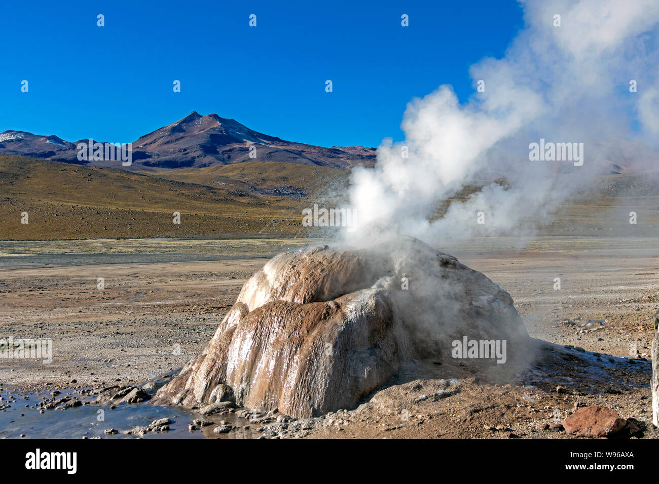 Geothermische Gebiet El Tatio in der Atacama-wüste, Chile: Geysire, Geysir, Brunnen und heiße Quellen, die in den Anden in den frühen Morgenstunden Stockfotohttps://www.alamy.de/image-license-details/?v=1https://www.alamy.de/geothermische-gebiet-el-tatio-in-der-atacama-wuste-chile-geysire-geysir-brunnen-und-heisse-quellen-die-in-den-anden-in-den-fruhen-morgenstunden-image263827714.html
RFW96AXA–Geothermische Gebiet El Tatio in der Atacama-wüste, Chile: Geysire, Geysir, Brunnen und heiße Quellen, die in den Anden in den frühen Morgenstunden
 Fumarolen bei El Tatio Geysir Feld im Norden Chiles Stockfotohttps://www.alamy.de/image-license-details/?v=1https://www.alamy.de/fumarolen-bei-el-tatio-geysir-feld-im-norden-chiles-image332328284.html
RF2A8JT38–Fumarolen bei El Tatio Geysir Feld im Norden Chiles
 El Tatio Geysir, Atacama-Wüste, Chile, Südamerika Stockfotohttps://www.alamy.de/image-license-details/?v=1https://www.alamy.de/stockfoto-el-tatio-geysir-atacama-wuste-chile-sudamerika-147786130.html
RMJGC6M2–El Tatio Geysir, Atacama-Wüste, Chile, Südamerika
 Der Rauch der Geysire El Tatio im vulkanischen Gebiet der Atacama-Wüste an der Grenze Chiles zu Bolivien Stockfotohttps://www.alamy.de/image-license-details/?v=1https://www.alamy.de/der-rauch-der-geysire-el-tatio-im-vulkanischen-gebiet-der-atacama-wuste-an-der-grenze-chiles-zu-bolivien-image502668030.html
RF2M5PE5J–Der Rauch der Geysire El Tatio im vulkanischen Gebiet der Atacama-Wüste an der Grenze Chiles zu Bolivien
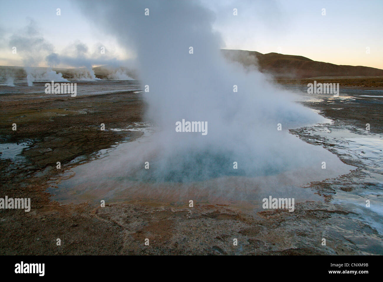 El Tatio Geysir, Chile Stockfotohttps://www.alamy.de/image-license-details/?v=1https://www.alamy.de/stockfoto-el-tatio-geysir-chile-47915207.html
RMCNXM9B–El Tatio Geysir, Chile
 Sonnenaufgang im Geyser El Tatio, San Pedro de Atacama, Chile. Stockfotohttps://www.alamy.de/image-license-details/?v=1https://www.alamy.de/sonnenaufgang-im-geyser-el-tatio-san-pedro-de-atacama-chile-image365838300.html
RF2C75ADG–Sonnenaufgang im Geyser El Tatio, San Pedro de Atacama, Chile.
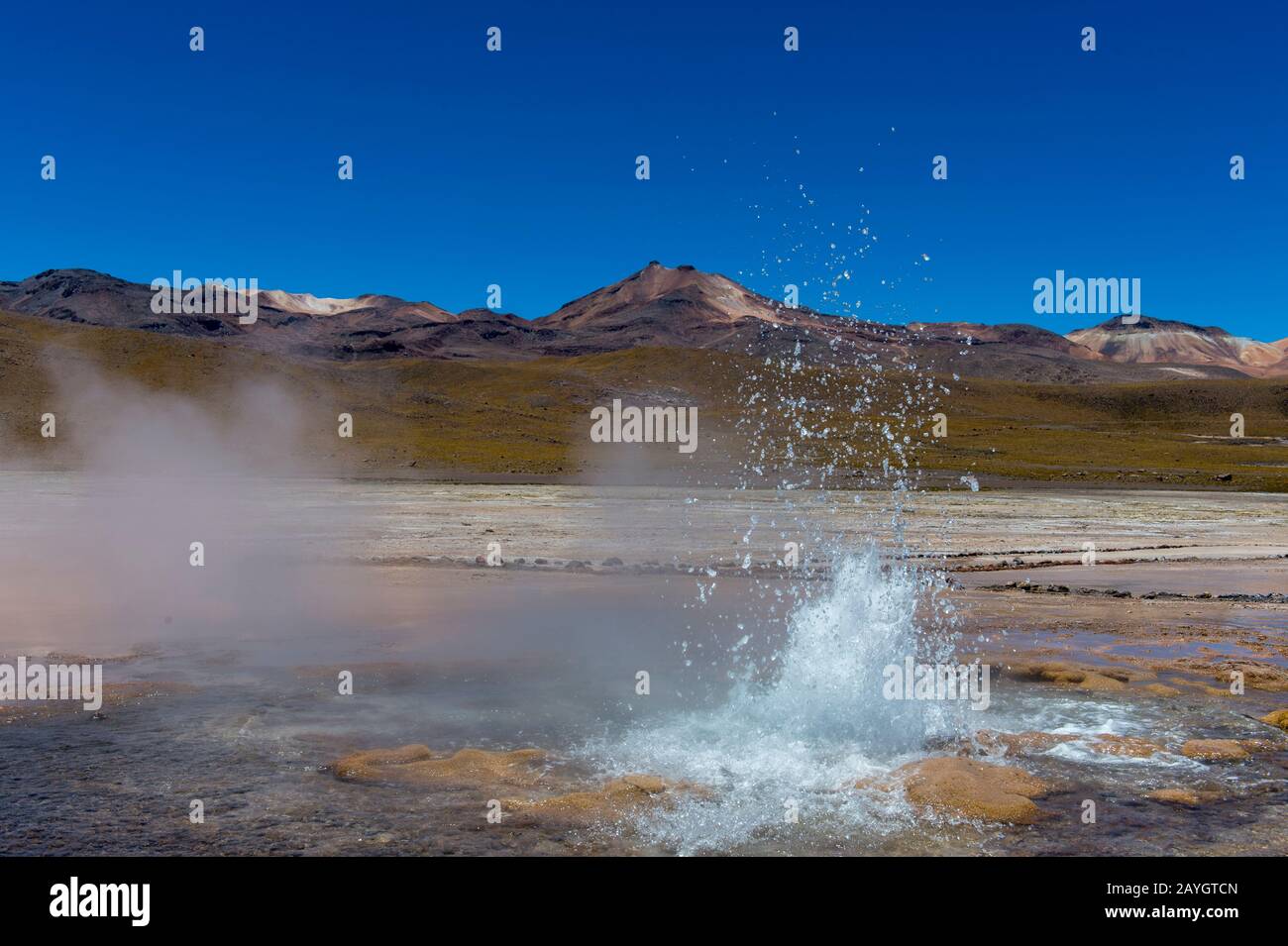 Eine sprudelnde heiße Quelle im Geothermie-Becken El Tatio Geysers, das sich in der Nähe von San Pedro de Atacama in der Atacama-Wüste im Norden Chiles befindet. Stockfotohttps://www.alamy.de/image-license-details/?v=1https://www.alamy.de/eine-sprudelnde-heisse-quelle-im-geothermie-becken-el-tatio-geysers-das-sich-in-der-nahe-von-san-pedro-de-atacama-in-der-atacama-wuste-im-norden-chiles-befindet-image343963109.html
RM2AYGTCN–Eine sprudelnde heiße Quelle im Geothermie-Becken El Tatio Geysers, das sich in der Nähe von San Pedro de Atacama in der Atacama-Wüste im Norden Chiles befindet.
 San Pedro de Atacama, El Tatio Gayser Fläche, Boden, Chile Südamerika in Nahaufnahme Stockfotohttps://www.alamy.de/image-license-details/?v=1https://www.alamy.de/stockfoto-san-pedro-de-atacama-el-tatio-gayser-flache-boden-chile-sudamerika-in-nahaufnahme-16146015.html
RMARXT8G–San Pedro de Atacama, El Tatio Gayser Fläche, Boden, Chile Südamerika in Nahaufnahme
 Chile Atacama-wüste Salz Meer panorama Stockfotohttps://www.alamy.de/image-license-details/?v=1https://www.alamy.de/chile-atacama-wuste-salz-meer-panorama-image259360945.html
RFW1XWEW–Chile Atacama-wüste Salz Meer panorama
 Wüstenlandschaft Feld Stockfotohttps://www.alamy.de/image-license-details/?v=1https://www.alamy.de/stockfoto-wustenlandschaft-feld-114998463.html
RFGK2HKY–Wüstenlandschaft Feld
 Geysirfeld El Tatio in Atacama-Region, Chile Stockfotohttps://www.alamy.de/image-license-details/?v=1https://www.alamy.de/stockfoto-geysirfeld-el-tatio-in-atacama-region-chile-116304324.html
RFGN639T–Geysirfeld El Tatio in Atacama-Region, Chile
 El Tatio Geyser, Atacama Wüste, Antofagasto Region, Chile Stockfotohttps://www.alamy.de/image-license-details/?v=1https://www.alamy.de/el-tatio-geyser-atacama-wuste-antofagasto-region-chile-image555734427.html
RM2R83TX3–El Tatio Geyser, Atacama Wüste, Antofagasto Region, Chile
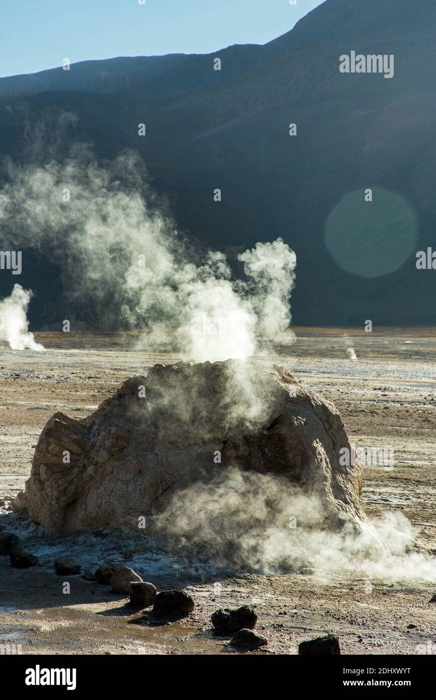 Ein Geysir-Kegel oder Splash Mound auf El Tatio Geysir Feld und Geothermie Gebiet, hoch in den Anden, Atacama Region, Nord-Chile, Südamerika Stockfotohttps://www.alamy.de/image-license-details/?v=1https://www.alamy.de/ein-geysir-kegel-oder-splash-mound-auf-el-tatio-geysir-feld-und-geothermie-gebiet-hoch-in-den-anden-atacama-region-nord-chile-sudamerika-image389668380.html
RF2DHXWYT–Ein Geysir-Kegel oder Splash Mound auf El Tatio Geysir Feld und Geothermie Gebiet, hoch in den Anden, Atacama Region, Nord-Chile, Südamerika
 Geysir Feld El Tatio im Gegenlicht, Atacama-Region, Chile Stockfotohttps://www.alamy.de/image-license-details/?v=1https://www.alamy.de/stockfoto-geysir-feld-el-tatio-im-gegenlicht-atacama-region-chile-32336871.html
RFBTH207–Geysir Feld El Tatio im Gegenlicht, Atacama-Region, Chile
 Blick in trockenen isoliert geothermalen Tal von braunen Hügeln mit Strömen von warmen blauen Wasser und weiße Salz und gelber Schwefel umgeben Eisschollen - El Tatio g Stockfotohttps://www.alamy.de/image-license-details/?v=1https://www.alamy.de/blick-in-trockenen-isoliert-geothermalen-tal-von-braunen-hugeln-mit-stromen-von-warmen-blauen-wasser-und-weisse-salz-und-gelber-schwefel-umgeben-eisschollen-el-tatio-g-image262511835.html
RFW72CEK–Blick in trockenen isoliert geothermalen Tal von braunen Hügeln mit Strömen von warmen blauen Wasser und weiße Salz und gelber Schwefel umgeben Eisschollen - El Tatio g
 Geysire Tatio Chile Stockfotohttps://www.alamy.de/image-license-details/?v=1https://www.alamy.de/stockfoto-geysire-tatio-chile-20723656.html
RMB5M16G–Geysire Tatio Chile
 Detail Tatio Geysir (Atacama-Chile) Stockfotohttps://www.alamy.de/image-license-details/?v=1https://www.alamy.de/stockfoto-detail-tatio-geysir-atacama-chile-59724799.html
RFDD4KGF–Detail Tatio Geysir (Atacama-Chile)
 Landschaft in der Gegend von El Tatio im Norden Chiles Stockfotohttps://www.alamy.de/image-license-details/?v=1https://www.alamy.de/landschaft-in-der-gegend-von-el-tatio-im-norden-chiles-image556612037.html
RF2R9FT99–Landschaft in der Gegend von El Tatio im Norden Chiles
 El Tatio Geysire, Atacama-Wüste. Region de Antofagasta. Chile Stockfotohttps://www.alamy.de/image-license-details/?v=1https://www.alamy.de/el-tatio-geysire-atacama-wuste-region-de-antofagasta-chile-image528137491.html
RM2NK6MN7–El Tatio Geysire, Atacama-Wüste. Region de Antofagasta. Chile
 Geothermische Gebiet El Tatio in der Atacama-wüste, Chile: Geysire, Geysir, Brunnen und heiße Quellen, die in den Anden in den frühen Morgenstunden Stockfotohttps://www.alamy.de/image-license-details/?v=1https://www.alamy.de/geothermische-gebiet-el-tatio-in-der-atacama-wuste-chile-geysire-geysir-brunnen-und-heisse-quellen-die-in-den-anden-in-den-fruhen-morgenstunden-image263828254.html
RFW96BHJ–Geothermische Gebiet El Tatio in der Atacama-wüste, Chile: Geysire, Geysir, Brunnen und heiße Quellen, die in den Anden in den frühen Morgenstunden
 Fumarolen bei El Tatio Geysir Feld im Norden Chiles Stockfotohttps://www.alamy.de/image-license-details/?v=1https://www.alamy.de/fumarolen-bei-el-tatio-geysir-feld-im-norden-chiles-image332330392.html
RF2A8JXPG–Fumarolen bei El Tatio Geysir Feld im Norden Chiles
 El Tatio Geysir, Atacama-Wüste, Chile, Südamerika Stockfotohttps://www.alamy.de/image-license-details/?v=1https://www.alamy.de/stockfoto-el-tatio-geysir-atacama-wuste-chile-sudamerika-147786133.html
RMJGC6M5–El Tatio Geysir, Atacama-Wüste, Chile, Südamerika
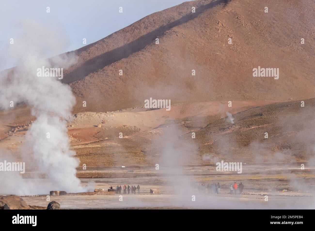 Der Rauch der Geysire El Tatio im vulkanischen Gebiet der Atacama-Wüste an der Grenze Chiles zu Bolivien Stockfotohttps://www.alamy.de/image-license-details/?v=1https://www.alamy.de/der-rauch-der-geysire-el-tatio-im-vulkanischen-gebiet-der-atacama-wuste-an-der-grenze-chiles-zu-bolivien-image502668184.html
RF2M5PEB4–Der Rauch der Geysire El Tatio im vulkanischen Gebiet der Atacama-Wüste an der Grenze Chiles zu Bolivien
 El Tatio Geysir, Chile Stockfotohttps://www.alamy.de/image-license-details/?v=1https://www.alamy.de/stockfoto-el-tatio-geysir-chile-47915239.html
RMCNXMAF–El Tatio Geysir, Chile
 Sonnenaufgang im Geyser El Tatio, San Pedro de Atacama, Chile. Stockfotohttps://www.alamy.de/image-license-details/?v=1https://www.alamy.de/sonnenaufgang-im-geyser-el-tatio-san-pedro-de-atacama-chile-image365838381.html
RF2C75AGD–Sonnenaufgang im Geyser El Tatio, San Pedro de Atacama, Chile.
 Eine sprudelnde heiße Quelle im Geothermie-Becken El Tatio Geysers, das sich in der Nähe von San Pedro de Atacama in der Atacama-Wüste im Norden Chiles befindet. Stockfotohttps://www.alamy.de/image-license-details/?v=1https://www.alamy.de/eine-sprudelnde-heisse-quelle-im-geothermie-becken-el-tatio-geysers-das-sich-in-der-nahe-von-san-pedro-de-atacama-in-der-atacama-wuste-im-norden-chiles-befindet-image343963020.html
RM2AYGT9G–Eine sprudelnde heiße Quelle im Geothermie-Becken El Tatio Geysers, das sich in der Nähe von San Pedro de Atacama in der Atacama-Wüste im Norden Chiles befindet.
 Eine Nahaufnahme von einem Geysir El Tatio Bereich, San Pedro de Atacama, Chile, Südamerika Stockfotohttps://www.alamy.de/image-license-details/?v=1https://www.alamy.de/stockfoto-eine-nahaufnahme-von-einem-geysir-el-tatio-bereich-san-pedro-de-atacama-chile-sudamerika-16146006.html
RMARXT7K–Eine Nahaufnahme von einem Geysir El Tatio Bereich, San Pedro de Atacama, Chile, Südamerika
 Chile Atacama-wüste Salz Meerblick Stockfotohttps://www.alamy.de/image-license-details/?v=1https://www.alamy.de/chile-atacama-wuste-salz-meerblick-image259361687.html
RFW1XXDB–Chile Atacama-wüste Salz Meerblick
 Rauch, Rauchen, Rauch, Rauch, groß, große, riesige, extreme, leistungsstarke, Stockfotohttps://www.alamy.de/image-license-details/?v=1https://www.alamy.de/stockfoto-rauch-rauchen-rauch-rauch-gross-grosse-riesige-extreme-leistungsstarke-144002116.html
RFJA7T4M–Rauch, Rauchen, Rauch, Rauch, groß, große, riesige, extreme, leistungsstarke,
 Geysirfeld El Tatio in Atacama-Region, Chile Stockfotohttps://www.alamy.de/image-license-details/?v=1https://www.alamy.de/stockfoto-geysirfeld-el-tatio-in-atacama-region-chile-116300312.html
RFGN5X6G–Geysirfeld El Tatio in Atacama-Region, Chile
 El Tatio Geyser, Atacama Wüste, Antofagasto Region, Chile Stockfotohttps://www.alamy.de/image-license-details/?v=1https://www.alamy.de/el-tatio-geyser-atacama-wuste-antofagasto-region-chile-image555734414.html
RM2R83TWJ–El Tatio Geyser, Atacama Wüste, Antofagasto Region, Chile
 Ein Geysir-Kegel oder Splash Mound auf El Tatio Geysir Feld und Geothermie Gebiet, hoch in den Anden, Atacama Region, Nord-Chile, Südamerika Stockfotohttps://www.alamy.de/image-license-details/?v=1https://www.alamy.de/ein-geysir-kegel-oder-splash-mound-auf-el-tatio-geysir-feld-und-geothermie-gebiet-hoch-in-den-anden-atacama-region-nord-chile-sudamerika-image389671154.html
RF2DHY1EX–Ein Geysir-Kegel oder Splash Mound auf El Tatio Geysir Feld und Geothermie Gebiet, hoch in den Anden, Atacama Region, Nord-Chile, Südamerika
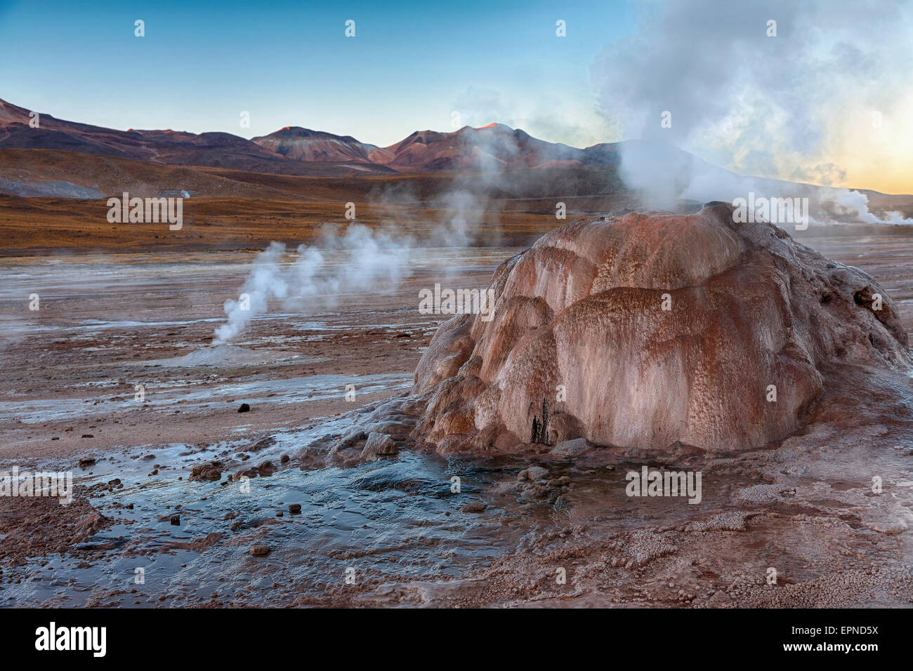 Geysirfeld El Tatio in Atacama-Region, Chile Stockfotohttps://www.alamy.de/image-license-details/?v=1https://www.alamy.de/stockfoto-geysirfeld-el-tatio-in-atacama-region-chile-82835254.html
RFEPND5X–Geysirfeld El Tatio in Atacama-Region, Chile
 Geysir Feld El Tatio im Gegenlicht, Atacama-Region, Chile Stockfotohttps://www.alamy.de/image-license-details/?v=1https://www.alamy.de/stockfoto-geysir-feld-el-tatio-im-gegenlicht-atacama-region-chile-114768770.html
RFGJM4MJ–Geysir Feld El Tatio im Gegenlicht, Atacama-Region, Chile
 Geysirfeld El Tatio in Atacama-Region, Chile Stockfotohttps://www.alamy.de/image-license-details/?v=1https://www.alamy.de/stockfoto-geysirfeld-el-tatio-in-atacama-region-chile-118365289.html
RFGTG03N–Geysirfeld El Tatio in Atacama-Region, Chile
 Landschaft in der Gegend von El Tatio im Norden Chiles Stockfotohttps://www.alamy.de/image-license-details/?v=1https://www.alamy.de/landschaft-in-der-gegend-von-el-tatio-im-norden-chiles-image556612023.html
RF2R9FT8R–Landschaft in der Gegend von El Tatio im Norden Chiles
 Geysirfeld El Tatio in Atacama-Region, Chile Stockfotohttps://www.alamy.de/image-license-details/?v=1https://www.alamy.de/stockfoto-geysirfeld-el-tatio-in-atacama-region-chile-116301105.html
RFGN5Y6W–Geysirfeld El Tatio in Atacama-Region, Chile
 Geothermische Gebiet El Tatio in der Atacama-wüste, Chile: Geysire, Geysir, Brunnen und heiße Quellen, die in den Anden in den frühen Morgenstunden Stockfotohttps://www.alamy.de/image-license-details/?v=1https://www.alamy.de/geothermische-gebiet-el-tatio-in-der-atacama-wuste-chile-geysire-geysir-brunnen-und-heisse-quellen-die-in-den-anden-in-den-fruhen-morgenstunden-image263828763.html
RFW96C7R–Geothermische Gebiet El Tatio in der Atacama-wüste, Chile: Geysire, Geysir, Brunnen und heiße Quellen, die in den Anden in den frühen Morgenstunden
 Fumarolen bei El Tatio Geysir Feld im Norden Chiles Stockfotohttps://www.alamy.de/image-license-details/?v=1https://www.alamy.de/fumarolen-bei-el-tatio-geysir-feld-im-norden-chiles-image332330378.html
RF2A8JXP2–Fumarolen bei El Tatio Geysir Feld im Norden Chiles
 El Tatio Geysir, Atacama-Wüste, Chile, Südamerika Stockfotohttps://www.alamy.de/image-license-details/?v=1https://www.alamy.de/stockfoto-el-tatio-geysir-atacama-wuste-chile-sudamerika-147786283.html
RMJGC6WF–El Tatio Geysir, Atacama-Wüste, Chile, Südamerika
 Der Rauch der Geysire El Tatio im vulkanischen Gebiet der Atacama-Wüste an der Grenze Chiles zu Bolivien Stockfotohttps://www.alamy.de/image-license-details/?v=1https://www.alamy.de/der-rauch-der-geysire-el-tatio-im-vulkanischen-gebiet-der-atacama-wuste-an-der-grenze-chiles-zu-bolivien-image502668040.html
RF2M5PE60–Der Rauch der Geysire El Tatio im vulkanischen Gebiet der Atacama-Wüste an der Grenze Chiles zu Bolivien
 El Tatio Geysir, Chile Stockfotohttps://www.alamy.de/image-license-details/?v=1https://www.alamy.de/stockfoto-el-tatio-geysir-chile-47915246.html
RMCNXMAP–El Tatio Geysir, Chile
 El Tatio Geysire, Atacama-Wüste. Region de Antofagasta. Chile Stockfotohttps://www.alamy.de/image-license-details/?v=1https://www.alamy.de/el-tatio-geysire-atacama-wuste-region-de-antofagasta-chile-image528137852.html
RM2NK6N64–El Tatio Geysire, Atacama-Wüste. Region de Antofagasta. Chile
 Eine sprudelnde heiße Quelle im Geothermie-Becken El Tatio Geysers, das sich in der Nähe von San Pedro de Atacama in der Atacama-Wüste im Norden Chiles befindet. Stockfotohttps://www.alamy.de/image-license-details/?v=1https://www.alamy.de/eine-sprudelnde-heisse-quelle-im-geothermie-becken-el-tatio-geysers-das-sich-in-der-nahe-von-san-pedro-de-atacama-in-der-atacama-wuste-im-norden-chiles-befindet-image343963099.html
RM2AYGTCB–Eine sprudelnde heiße Quelle im Geothermie-Becken El Tatio Geysers, das sich in der Nähe von San Pedro de Atacama in der Atacama-Wüste im Norden Chiles befindet.
 Wüstenlandschaft Feld Sonnenaufgang Chile Geysir Rauch Rauchen raucht Rauch große große Stockfotohttps://www.alamy.de/image-license-details/?v=1https://www.alamy.de/stockfoto-wustenlandschaft-feld-sonnenaufgang-chile-geysir-rauch-rauchen-raucht-rauch-grosse-grosse-142179559.html
RFJ78RDB–Wüstenlandschaft Feld Sonnenaufgang Chile Geysir Rauch Rauchen raucht Rauch große große
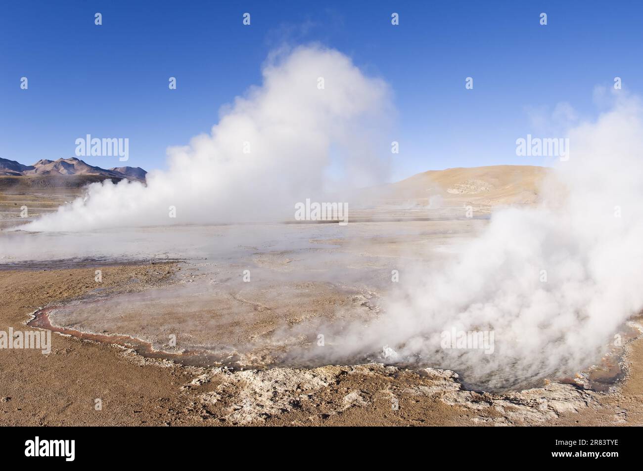 El Tatio Geyser, Atacama Wüste, Antofagasto Region, Chile Stockfotohttps://www.alamy.de/image-license-details/?v=1https://www.alamy.de/el-tatio-geyser-atacama-wuste-antofagasto-region-chile-image555734466.html
RM2R83TYE–El Tatio Geyser, Atacama Wüste, Antofagasto Region, Chile
 Ein Geysir-Kegel oder Splash Mound auf El Tatio Geysir Feld und Geothermie Gebiet, hoch in den Anden, Atacama Region, Nord-Chile, Südamerika Stockfotohttps://www.alamy.de/image-license-details/?v=1https://www.alamy.de/ein-geysir-kegel-oder-splash-mound-auf-el-tatio-geysir-feld-und-geothermie-gebiet-hoch-in-den-anden-atacama-region-nord-chile-sudamerika-image389672036.html
RF2DHY2JC–Ein Geysir-Kegel oder Splash Mound auf El Tatio Geysir Feld und Geothermie Gebiet, hoch in den Anden, Atacama Region, Nord-Chile, Südamerika
 El Tatio Geysirfeld in Chile Stockfotohttps://www.alamy.de/image-license-details/?v=1https://www.alamy.de/el-tatio-geysirfeld-in-chile-image618726589.html
RF2XXHC25–El Tatio Geysirfeld in Chile
 Geysirfeld El Tatio in Atacama Wüste, Chile Stockfotohttps://www.alamy.de/image-license-details/?v=1https://www.alamy.de/stockfoto-geysirfeld-el-tatio-in-atacama-wuste-chile-59226802.html
RFDCA0AX–Geysirfeld El Tatio in Atacama Wüste, Chile
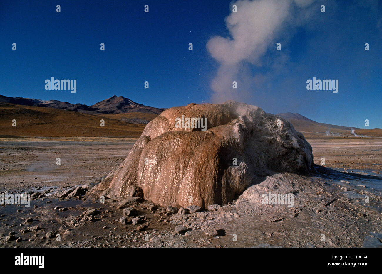 El Tatio Geysirfeld im bolivianischen Hochland, Südamerika Stockfotohttps://www.alamy.de/image-license-details/?v=1https://www.alamy.de/stockfoto-el-tatio-geysirfeld-im-bolivianischen-hochland-sudamerika-35242456.html
RMC19C34–El Tatio Geysirfeld im bolivianischen Hochland, Südamerika
 Thermalbereich mit dampfenden Geysiren, geysirfeld El Tatio, Región de Antofagasta, Chile Stockfotohttps://www.alamy.de/image-license-details/?v=1https://www.alamy.de/thermalbereich-mit-dampfenden-geysiren-geysirfeld-el-tatio-regin-de-antofagasta-chile-image239058225.html
RFRTX15N–Thermalbereich mit dampfenden Geysiren, geysirfeld El Tatio, Región de Antofagasta, Chile
 Landschaft in der Gegend von El Tatio im Norden Chiles Stockfotohttps://www.alamy.de/image-license-details/?v=1https://www.alamy.de/landschaft-in-der-gegend-von-el-tatio-im-norden-chiles-image556612001.html
RF2R9FT81–Landschaft in der Gegend von El Tatio im Norden Chiles
 Pool mit warmem Wasser auf 4200 m am Tatio Geysire, San Pedro de Atacama Antofagasta Region, Chile Stockfotohttps://www.alamy.de/image-license-details/?v=1https://www.alamy.de/stockfoto-pool-mit-warmem-wasser-auf-4200-m-am-tatio-geysire-san-pedro-de-atacama-antofagasta-region-chile-73195959.html
RME72A5B–Pool mit warmem Wasser auf 4200 m am Tatio Geysire, San Pedro de Atacama Antofagasta Region, Chile
 Geothermische Gebiet El Tatio in der Atacama-wüste, Chile: Geysire, Geysir, Brunnen und heiße Quellen, die in den Anden in den frühen Morgenstunden Stockfotohttps://www.alamy.de/image-license-details/?v=1https://www.alamy.de/geothermische-gebiet-el-tatio-in-der-atacama-wuste-chile-geysire-geysir-brunnen-und-heisse-quellen-die-in-den-anden-in-den-fruhen-morgenstunden-image263828424.html
RFW96BRM–Geothermische Gebiet El Tatio in der Atacama-wüste, Chile: Geysire, Geysir, Brunnen und heiße Quellen, die in den Anden in den frühen Morgenstunden
 Geysire von El Tatio, Anden, Atacamawüste, Nord-Chile, Chile Stockfotohttps://www.alamy.de/image-license-details/?v=1https://www.alamy.de/stockfoto-geysire-von-el-tatio-anden-atacamawuste-nord-chile-chile-74192361.html
RME8KN35–Geysire von El Tatio, Anden, Atacamawüste, Nord-Chile, Chile
 Fumarolen bei El Tatio Geysir Feld im Norden Chiles Stockfotohttps://www.alamy.de/image-license-details/?v=1https://www.alamy.de/fumarolen-bei-el-tatio-geysir-feld-im-norden-chiles-image332330290.html
RF2A8JXJX–Fumarolen bei El Tatio Geysir Feld im Norden Chiles
 Der Rauch der Geysire El Tatio im vulkanischen Gebiet der Atacama-Wüste an der Grenze Chiles zu Bolivien Stockfotohttps://www.alamy.de/image-license-details/?v=1https://www.alamy.de/der-rauch-der-geysire-el-tatio-im-vulkanischen-gebiet-der-atacama-wuste-an-der-grenze-chiles-zu-bolivien-image502667997.html
RF2M5PE4D–Der Rauch der Geysire El Tatio im vulkanischen Gebiet der Atacama-Wüste an der Grenze Chiles zu Bolivien
 El Tatio Geysir, Chile Stockfotohttps://www.alamy.de/image-license-details/?v=1https://www.alamy.de/stockfoto-el-tatio-geysir-chile-47915262.html
RMCNXMBA–El Tatio Geysir, Chile
 El Tatio Geysir, Atacama-Wüste, Chile, Südamerika Stockfotohttps://www.alamy.de/image-license-details/?v=1https://www.alamy.de/stockfoto-el-tatio-geysir-atacama-wuste-chile-sudamerika-147786132.html
RMJGC6M4–El Tatio Geysir, Atacama-Wüste, Chile, Südamerika
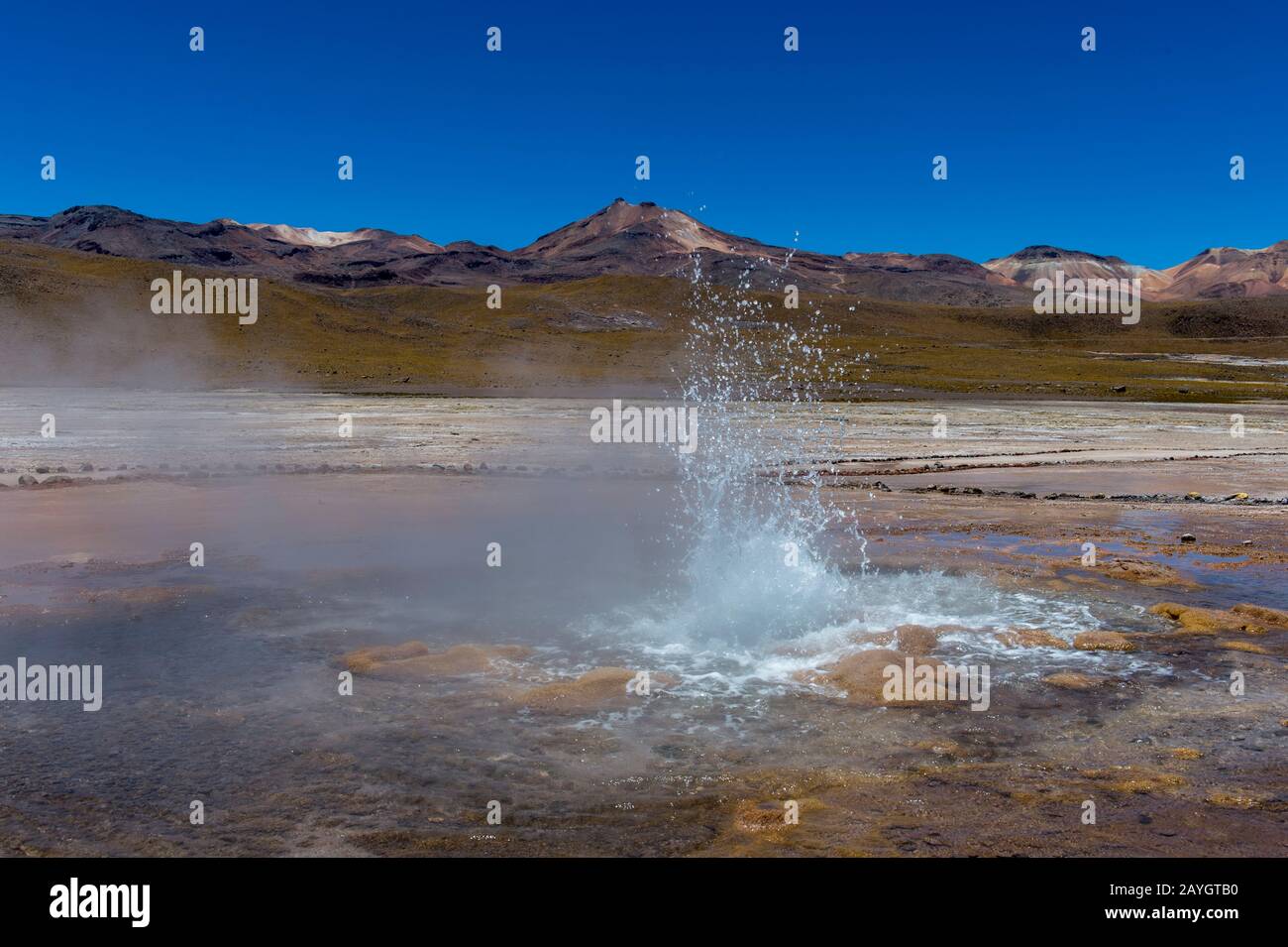 Eine sprudelnde heiße Quelle im Geothermie-Becken El Tatio Geysers, das sich in der Nähe von San Pedro de Atacama in der Atacama-Wüste im Norden Chiles befindet. Stockfotohttps://www.alamy.de/image-license-details/?v=1https://www.alamy.de/eine-sprudelnde-heisse-quelle-im-geothermie-becken-el-tatio-geysers-das-sich-in-der-nahe-von-san-pedro-de-atacama-in-der-atacama-wuste-im-norden-chiles-befindet-image343963060.html
RM2AYGTB0–Eine sprudelnde heiße Quelle im Geothermie-Becken El Tatio Geysers, das sich in der Nähe von San Pedro de Atacama in der Atacama-Wüste im Norden Chiles befindet.
 Geysirfeld El Tatio in Atacama-Region, Chile Stockfotohttps://www.alamy.de/image-license-details/?v=1https://www.alamy.de/stockfoto-geysirfeld-el-tatio-in-atacama-region-chile-116301168.html
RFGN5Y94–Geysirfeld El Tatio in Atacama-Region, Chile
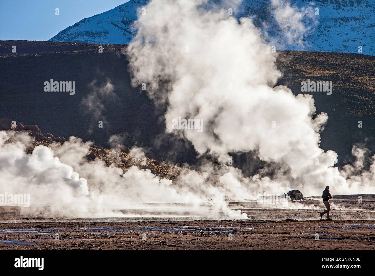 El Tatio Geysire, Atacama-Wüste. Region de Antofagasta. Chile Stockfotohttps://www.alamy.de/image-license-details/?v=1https://www.alamy.de/el-tatio-geysire-atacama-wuste-region-de-antofagasta-chile-image528137691.html
RM2NK6N0B–El Tatio Geysire, Atacama-Wüste. Region de Antofagasta. Chile
 Geysirfeld El Tatio in Atacama-Region, Chile Stockfotohttps://www.alamy.de/image-license-details/?v=1https://www.alamy.de/stockfoto-geysirfeld-el-tatio-in-atacama-region-chile-114768919.html
RFGJM4WY–Geysirfeld El Tatio in Atacama-Region, Chile
 Ein Geysir-Kegel oder Splash Mound auf El Tatio Geysir Feld und Geothermie Gebiet, hoch in den Anden, Atacama Region, Nord-Chile, Südamerika Stockfotohttps://www.alamy.de/image-license-details/?v=1https://www.alamy.de/ein-geysir-kegel-oder-splash-mound-auf-el-tatio-geysir-feld-und-geothermie-gebiet-hoch-in-den-anden-atacama-region-nord-chile-sudamerika-image389671088.html
RF2DHY1CG–Ein Geysir-Kegel oder Splash Mound auf El Tatio Geysir Feld und Geothermie Gebiet, hoch in den Anden, Atacama Region, Nord-Chile, Südamerika
 Landschaft in der Gegend von El Tatio im Norden Chiles Stockfotohttps://www.alamy.de/image-license-details/?v=1https://www.alamy.de/landschaft-in-der-gegend-von-el-tatio-im-norden-chiles-image556612142.html
RF2R9FTD2–Landschaft in der Gegend von El Tatio im Norden Chiles
 Geothermische Gebiet El Tatio in der Atacama-wüste, Chile: Geysire, Geysir, Brunnen und heiße Quellen, die in den Anden in den frühen Morgenstunden Stockfotohttps://www.alamy.de/image-license-details/?v=1https://www.alamy.de/geothermische-gebiet-el-tatio-in-der-atacama-wuste-chile-geysire-geysir-brunnen-und-heisse-quellen-die-in-den-anden-in-den-fruhen-morgenstunden-image263829111.html
RFW96CM7–Geothermische Gebiet El Tatio in der Atacama-wüste, Chile: Geysire, Geysir, Brunnen und heiße Quellen, die in den Anden in den frühen Morgenstunden
 Geysire von El Tatio, Anden, Atacamawüste, Nord-Chile, Chile Stockfotohttps://www.alamy.de/image-license-details/?v=1https://www.alamy.de/stockfoto-geysire-von-el-tatio-anden-atacamawuste-nord-chile-chile-74192360.html
RME8KN34–Geysire von El Tatio, Anden, Atacamawüste, Nord-Chile, Chile
 Die Menschen genießen die heißen Quellen von El Tatio Geysir Feld im Norden Chiles Stockfotohttps://www.alamy.de/image-license-details/?v=1https://www.alamy.de/die-menschen-geniessen-die-heissen-quellen-von-el-tatio-geysir-feld-im-norden-chiles-image332329943.html
RF2A8JX6F–Die Menschen genießen die heißen Quellen von El Tatio Geysir Feld im Norden Chiles
 Der Rauch der Geysire El Tatio im vulkanischen Gebiet der Atacama-Wüste an der Grenze Chiles zu Bolivien Stockfotohttps://www.alamy.de/image-license-details/?v=1https://www.alamy.de/der-rauch-der-geysire-el-tatio-im-vulkanischen-gebiet-der-atacama-wuste-an-der-grenze-chiles-zu-bolivien-image502668241.html
RF2M5PED5–Der Rauch der Geysire El Tatio im vulkanischen Gebiet der Atacama-Wüste an der Grenze Chiles zu Bolivien
 El Tatio Geysir am Morgen, Chile Stockfotohttps://www.alamy.de/image-license-details/?v=1https://www.alamy.de/stockfoto-el-tatio-geysir-am-morgen-chile-47915255.html
RMCNXMB3–El Tatio Geysir am Morgen, Chile
 El Tatio Geysir, Atacama-Wüste, Chile, Südamerika Stockfotohttps://www.alamy.de/image-license-details/?v=1https://www.alamy.de/stockfoto-el-tatio-geysir-atacama-wuste-chile-sudamerika-147786140.html
RMJGC6MC–El Tatio Geysir, Atacama-Wüste, Chile, Südamerika
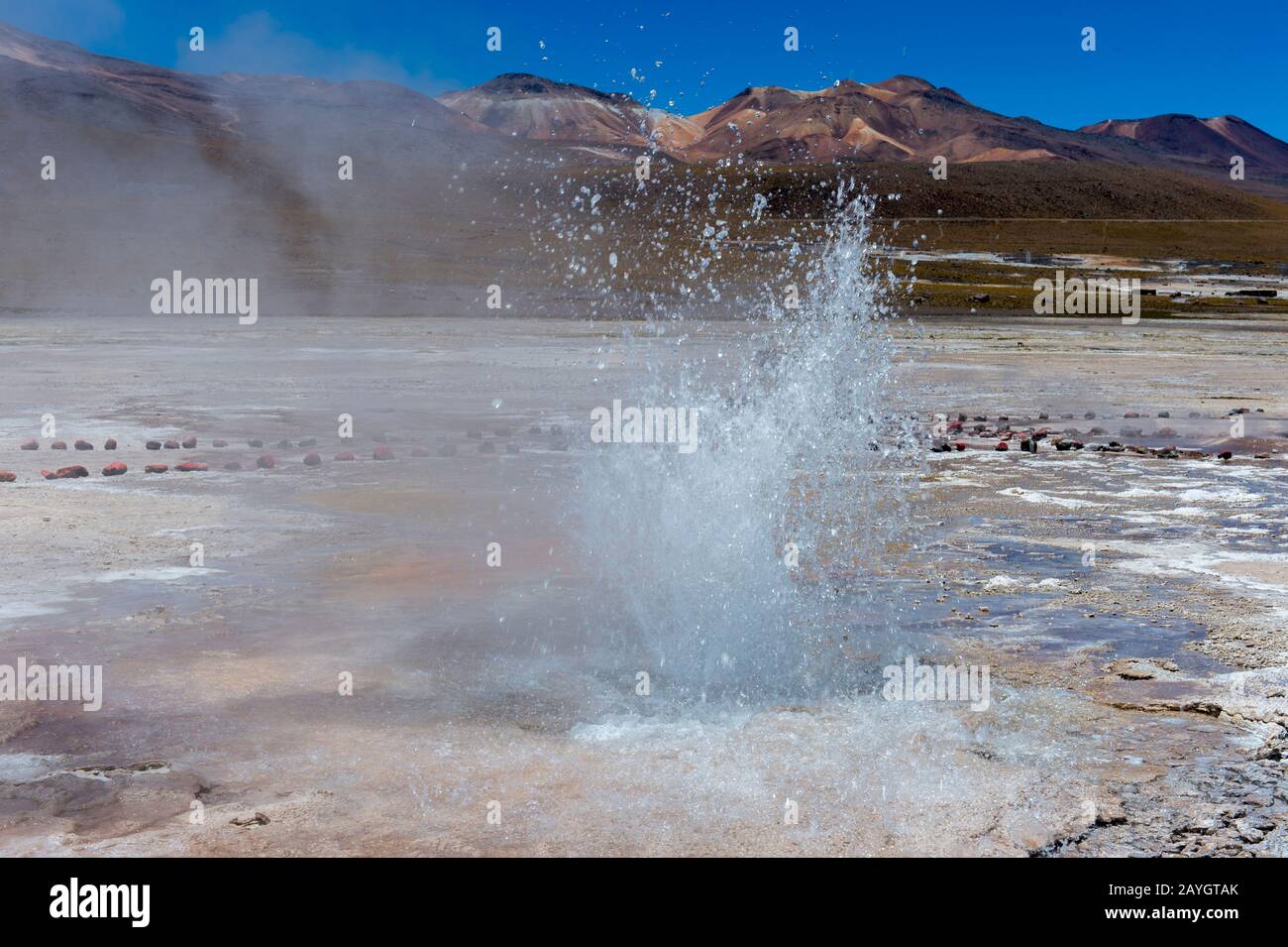 Eine sprudelnde heiße Quelle im Geothermie-Becken El Tatio Geysers, das sich in der Nähe von San Pedro de Atacama in der Atacama-Wüste im Norden Chiles befindet. Stockfotohttps://www.alamy.de/image-license-details/?v=1https://www.alamy.de/eine-sprudelnde-heisse-quelle-im-geothermie-becken-el-tatio-geysers-das-sich-in-der-nahe-von-san-pedro-de-atacama-in-der-atacama-wuste-im-norden-chiles-befindet-image343963051.html
RM2AYGTAK–Eine sprudelnde heiße Quelle im Geothermie-Becken El Tatio Geysers, das sich in der Nähe von San Pedro de Atacama in der Atacama-Wüste im Norden Chiles befindet.
 Geysire von El Tatio, Altiplano, Atacama-Wüste, Chile, Südamerika Stockfotohttps://www.alamy.de/image-license-details/?v=1https://www.alamy.de/stockfoto-geysire-von-el-tatio-altiplano-atacama-wuste-chile-sudamerika-37980194.html
RMC5P43E–Geysire von El Tatio, Altiplano, Atacama-Wüste, Chile, Südamerika
 El Tatio Geysire, Atacama-Wüste. Region de Antofagasta. Chile Stockfotohttps://www.alamy.de/image-license-details/?v=1https://www.alamy.de/el-tatio-geysire-atacama-wuste-region-de-antofagasta-chile-image528137733.html
RM2NK6N1W–El Tatio Geysire, Atacama-Wüste. Region de Antofagasta. Chile
 Sonnenaufgang am Geysirfeld El Tatio in Atacama-Region, Chile Stockfotohttps://www.alamy.de/image-license-details/?v=1https://www.alamy.de/stockfoto-sonnenaufgang-am-geysirfeld-el-tatio-in-atacama-region-chile-114772168.html
RFGJM920–Sonnenaufgang am Geysirfeld El Tatio in Atacama-Region, Chile
 Ein Geysir-Kegel oder Splash Mound auf El Tatio Geysir Feld und Geothermie Gebiet, hoch in den Anden, Atacama Region, Nord-Chile, Südamerika Stockfotohttps://www.alamy.de/image-license-details/?v=1https://www.alamy.de/ein-geysir-kegel-oder-splash-mound-auf-el-tatio-geysir-feld-und-geothermie-gebiet-hoch-in-den-anden-atacama-region-nord-chile-sudamerika-image389671269.html
RF2DHY1K1–Ein Geysir-Kegel oder Splash Mound auf El Tatio Geysir Feld und Geothermie Gebiet, hoch in den Anden, Atacama Region, Nord-Chile, Südamerika
 Landschaft in der Gegend von El Tatio im Norden Chiles Stockfotohttps://www.alamy.de/image-license-details/?v=1https://www.alamy.de/landschaft-in-der-gegend-von-el-tatio-im-norden-chiles-image556612047.html
RF2R9FT9K–Landschaft in der Gegend von El Tatio im Norden Chiles
 Sonnenaufgang am El Tatio Geysir Feld mit vielen Geysire, heiße Quellen, und die zugehörigen Sinter Einlagen, großen Reiseziel im Norden Chiles Stockfotohttps://www.alamy.de/image-license-details/?v=1https://www.alamy.de/sonnenaufgang-am-el-tatio-geysir-feld-mit-vielen-geysire-heisse-quellen-und-die-zugehorigen-sinter-einlagen-grossen-reiseziel-im-norden-chiles-image263829595.html
RFW96D9F–Sonnenaufgang am El Tatio Geysir Feld mit vielen Geysire, heiße Quellen, und die zugehörigen Sinter Einlagen, großen Reiseziel im Norden Chiles
 Geysire von El Tatio, Anden, Atacamawüste, Nord-Chile, Chile Stockfotohttps://www.alamy.de/image-license-details/?v=1https://www.alamy.de/stockfoto-geysire-von-el-tatio-anden-atacamawuste-nord-chile-chile-74192358.html
RME8KN32–Geysire von El Tatio, Anden, Atacamawüste, Nord-Chile, Chile
 Die Menschen genießen die heißen Quellen von El Tatio Geysir Feld im Norden Chiles Stockfotohttps://www.alamy.de/image-license-details/?v=1https://www.alamy.de/die-menschen-geniessen-die-heissen-quellen-von-el-tatio-geysir-feld-im-norden-chiles-image332330037.html
RF2A8JX9W–Die Menschen genießen die heißen Quellen von El Tatio Geysir Feld im Norden Chiles
 Der Rauch der Geysire El Tatio im vulkanischen Gebiet der Atacama-Wüste an der Grenze Chiles zu Bolivien Stockfotohttps://www.alamy.de/image-license-details/?v=1https://www.alamy.de/der-rauch-der-geysire-el-tatio-im-vulkanischen-gebiet-der-atacama-wuste-an-der-grenze-chiles-zu-bolivien-image502668231.html
RF2M5PECR–Der Rauch der Geysire El Tatio im vulkanischen Gebiet der Atacama-Wüste an der Grenze Chiles zu Bolivien
 Menschen bei El Tatio Geysir am Morgen, Chile Stockfotohttps://www.alamy.de/image-license-details/?v=1https://www.alamy.de/stockfoto-menschen-bei-el-tatio-geysir-am-morgen-chile-47915225.html
RMCNXMA1–Menschen bei El Tatio Geysir am Morgen, Chile
 Eine sprudelnde heiße Quelle im Geothermie-Becken El Tatio Geysers, das sich in der Nähe von San Pedro de Atacama in der Atacama-Wüste im Norden Chiles befindet. Stockfotohttps://www.alamy.de/image-license-details/?v=1https://www.alamy.de/eine-sprudelnde-heisse-quelle-im-geothermie-becken-el-tatio-geysers-das-sich-in-der-nahe-von-san-pedro-de-atacama-in-der-atacama-wuste-im-norden-chiles-befindet-image343963058.html
RM2AYGTAX–Eine sprudelnde heiße Quelle im Geothermie-Becken El Tatio Geysers, das sich in der Nähe von San Pedro de Atacama in der Atacama-Wüste im Norden Chiles befindet.
 Geysire von El Tatio, Altiplano, Atacama-Wüste, Chile, Südamerika Stockfotohttps://www.alamy.de/image-license-details/?v=1https://www.alamy.de/stockfoto-geysire-von-el-tatio-altiplano-atacama-wuste-chile-sudamerika-37980102.html
RMC5P406–Geysire von El Tatio, Altiplano, Atacama-Wüste, Chile, Südamerika
 El Tatio Geysire, Atacama-Wüste. Region de Antofagasta. Chile Stockfotohttps://www.alamy.de/image-license-details/?v=1https://www.alamy.de/el-tatio-geysire-atacama-wuste-region-de-antofagasta-chile-image528137690.html
RM2NK6N0A–El Tatio Geysire, Atacama-Wüste. Region de Antofagasta. Chile
 Ein Geysir-Kegel oder Splash Mound auf El Tatio Geysir Feld und Geothermie Gebiet, hoch in den Anden, Atacama Region, Nord-Chile, Südamerika Stockfotohttps://www.alamy.de/image-license-details/?v=1https://www.alamy.de/ein-geysir-kegel-oder-splash-mound-auf-el-tatio-geysir-feld-und-geothermie-gebiet-hoch-in-den-anden-atacama-region-nord-chile-sudamerika-image389671549.html
RF2DHY211–Ein Geysir-Kegel oder Splash Mound auf El Tatio Geysir Feld und Geothermie Gebiet, hoch in den Anden, Atacama Region, Nord-Chile, Südamerika
 Landschaft in der Gegend von El Tatio im Norden Chiles Stockfotohttps://www.alamy.de/image-license-details/?v=1https://www.alamy.de/landschaft-in-der-gegend-von-el-tatio-im-norden-chiles-image556611965.html
RF2R9FT6N–Landschaft in der Gegend von El Tatio im Norden Chiles
 Sonnenaufgang am El Tatio Geysir Feld mit vielen Geysire, heiße Quellen, und die zugehörigen Sinter Einlagen, großen Reiseziel im Norden Chiles Stockfotohttps://www.alamy.de/image-license-details/?v=1https://www.alamy.de/sonnenaufgang-am-el-tatio-geysir-feld-mit-vielen-geysire-heisse-quellen-und-die-zugehorigen-sinter-einlagen-grossen-reiseziel-im-norden-chiles-image263831317.html
RFW96FF1–Sonnenaufgang am El Tatio Geysir Feld mit vielen Geysire, heiße Quellen, und die zugehörigen Sinter Einlagen, großen Reiseziel im Norden Chiles
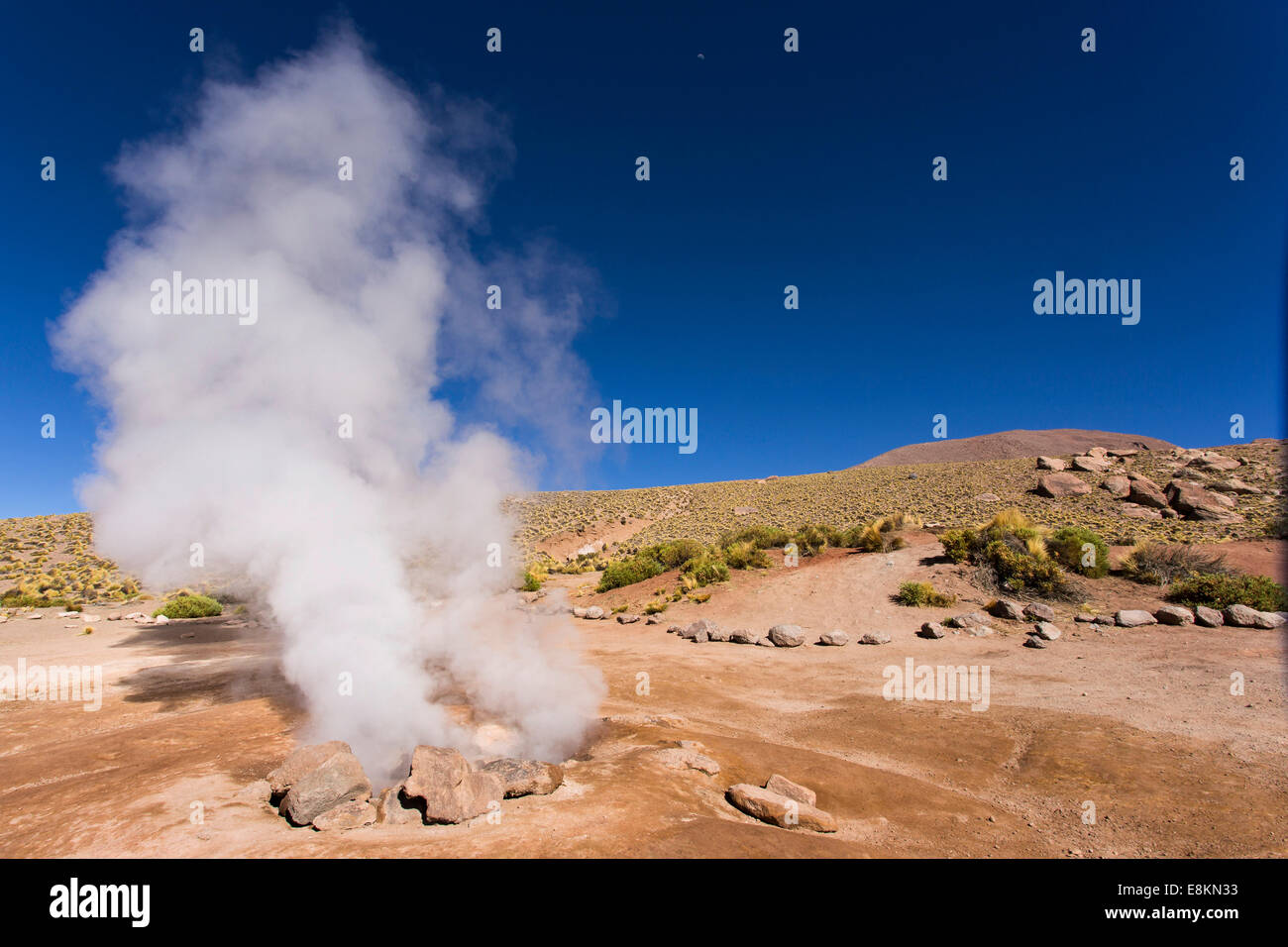 Geysire von El Tatio, Anden, Atacamawüste, Nord-Chile, Chile Stockfotohttps://www.alamy.de/image-license-details/?v=1https://www.alamy.de/stockfoto-geysire-von-el-tatio-anden-atacamawuste-nord-chile-chile-74192359.html
RME8KN33–Geysire von El Tatio, Anden, Atacamawüste, Nord-Chile, Chile
 Die Menschen genießen die heißen Quellen von El Tatio Geysir Feld im Norden Chiles Stockfotohttps://www.alamy.de/image-license-details/?v=1https://www.alamy.de/die-menschen-geniessen-die-heissen-quellen-von-el-tatio-geysir-feld-im-norden-chiles-image332329993.html
RF2A8JX89–Die Menschen genießen die heißen Quellen von El Tatio Geysir Feld im Norden Chiles
 Menschen, die von Rauch der Geysire El Tatio im vulkanischen Gebiet der Atacama-Wüste an der Grenze Chiles zu Bolivien umgeben sind Stockfotohttps://www.alamy.de/image-license-details/?v=1https://www.alamy.de/menschen-die-von-rauch-der-geysire-el-tatio-im-vulkanischen-gebiet-der-atacama-wuste-an-der-grenze-chiles-zu-bolivien-umgeben-sind-image502668101.html
RF2M5PE85–Menschen, die von Rauch der Geysire El Tatio im vulkanischen Gebiet der Atacama-Wüste an der Grenze Chiles zu Bolivien umgeben sind
 Eine sprudelnde heiße Quelle im Geothermie-Becken El Tatio Geysers, das sich in der Nähe von San Pedro de Atacama in der Atacama-Wüste im Norden Chiles befindet. Stockfotohttps://www.alamy.de/image-license-details/?v=1https://www.alamy.de/eine-sprudelnde-heisse-quelle-im-geothermie-becken-el-tatio-geysers-das-sich-in-der-nahe-von-san-pedro-de-atacama-in-der-atacama-wuste-im-norden-chiles-befindet-image343963017.html
RM2AYGT9D–Eine sprudelnde heiße Quelle im Geothermie-Becken El Tatio Geysers, das sich in der Nähe von San Pedro de Atacama in der Atacama-Wüste im Norden Chiles befindet.