Schnellfilter:
Südwestlicher np Stockfotos & Bilder
 Dämmerung, Salt Creek, Devils Golf Course, Death Valley National Park, Kalifornien Stockfotohttps://www.alamy.de/image-license-details/?v=1https://www.alamy.de/dammerung-salt-creek-devils-golf-course-death-valley-national-park-kalifornien-image458903669.html
RM2HJGT8N–Dämmerung, Salt Creek, Devils Golf Course, Death Valley National Park, Kalifornien
 Eine horizontale Zusammensetzung der Eingang willkommen zu Canyonlands NP USA Stockfotohttps://www.alamy.de/image-license-details/?v=1https://www.alamy.de/eine-horizontale-zusammensetzung-der-eingang-willkommen-zu-canyonlands-np-usa-image187550288.html
RFMW3J8G–Eine horizontale Zusammensetzung der Eingang willkommen zu Canyonlands NP USA
 Logo in Stein von der Þingvellir / Thingvellir National Park bei Bláskógabyggð im Südwesten Islands Stockfotohttps://www.alamy.de/image-license-details/?v=1https://www.alamy.de/stockfoto-logo-in-stein-von-der-ingvellir-thingvellir-national-park-bei-blskgabygg-im-sudwesten-islands-130414427.html
RMHG4TX3–Logo in Stein von der Þingvellir / Thingvellir National Park bei Bláskógabyggð im Südwesten Islands
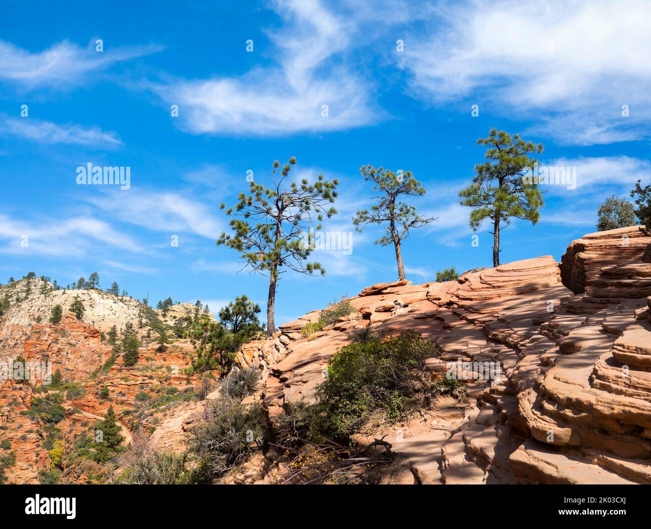 Der Zion National Park liegt im Südwesten von Utah an der Grenze zu Arizona. Es hat eine Fläche von 579 kö² und liegt zwischen 1128 m und 2660 m Höhe. Drei Pinien auf Felsen am Angels Landing Trail. Stockfotohttps://www.alamy.de/image-license-details/?v=1https://www.alamy.de/der-zion-national-park-liegt-im-sudwesten-von-utah-an-der-grenze-zu-arizona-es-hat-eine-flache-von-579-ko-und-liegt-zwischen-1128-m-und-2660-m-hohe-drei-pinien-auf-felsen-am-angels-landing-trail-image481966314.html
RM2K03CXJ–Der Zion National Park liegt im Südwesten von Utah an der Grenze zu Arizona. Es hat eine Fläche von 579 kö² und liegt zwischen 1128 m und 2660 m Höhe. Drei Pinien auf Felsen am Angels Landing Trail.
 Antike landwirtschaftliche Ausrüstung, Capitol Reef NP, UT, USA, von Bruce Montagne/Dembinsky Foto Assoc Stockfotohttps://www.alamy.de/image-license-details/?v=1https://www.alamy.de/antike-landwirtschaftliche-ausrustung-capitol-reef-np-ut-usa-von-bruce-montagnedembinsky-foto-assoc-image179102623.html
RMMBAR67–Antike landwirtschaftliche Ausrüstung, Capitol Reef NP, UT, USA, von Bruce Montagne/Dembinsky Foto Assoc
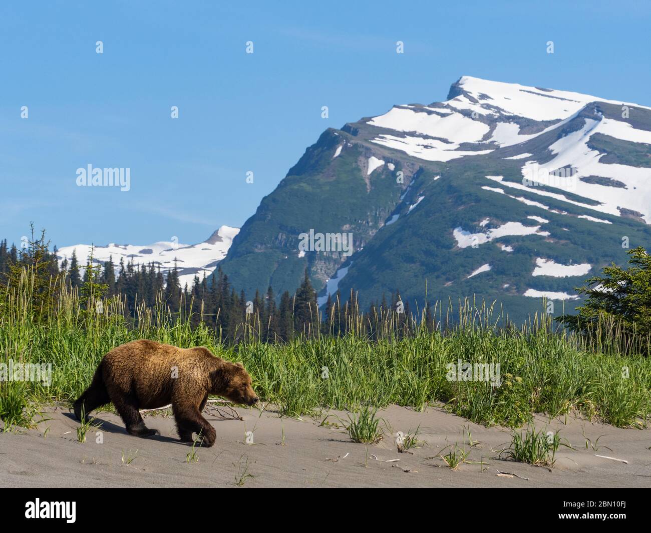 Grizzly Bear, Lake Clark National Park, Alaska. Stockfotohttps://www.alamy.de/image-license-details/?v=1https://www.alamy.de/grizzly-bear-lake-clark-national-park-alaska-image357137526.html
RM2BN10FJ–Grizzly Bear, Lake Clark National Park, Alaska.
 Colorado, Mesa Verde Nationalpark, Besucher und Forschungszentrum, Skulptur Stockfotohttps://www.alamy.de/image-license-details/?v=1https://www.alamy.de/stockfoto-colorado-mesa-verde-nationalpark-besucher-und-forschungszentrum-skulptur-125457603.html
RMH832CK–Colorado, Mesa Verde Nationalpark, Besucher und Forschungszentrum, Skulptur
 Der Nationalpark ein Gedi, Israel, Asien Stockfotohttps://www.alamy.de/image-license-details/?v=1https://www.alamy.de/der-nationalpark-ein-gedi-israel-asien-image617705994.html
RF2XTXX8A–Der Nationalpark ein Gedi, Israel, Asien
 North Fork Virgin River bei Dämmerung, Zion Canyon, Zion Nationalpark, Utah, USA Stockfotohttps://www.alamy.de/image-license-details/?v=1https://www.alamy.de/stockfoto-north-fork-virgin-river-bei-dammerung-zion-canyon-zion-nationalpark-utah-usa-101679416.html
RMFWBW3M–North Fork Virgin River bei Dämmerung, Zion Canyon, Zion Nationalpark, Utah, USA
 Landschaftlich schöne Strecke 24 durch Capitol Reef National Park, Utah, USA Stockfotohttps://www.alamy.de/image-license-details/?v=1https://www.alamy.de/landschaftlich-schone-strecke-24-durch-capitol-reef-national-park-utah-usa-image68990352.html
RME06NW4–Landschaftlich schöne Strecke 24 durch Capitol Reef National Park, Utah, USA
 Wanderer auf Zick-Zack-Abschnitt der Navajo Loop Trail, Bryce-Canyon-Nationalpark, Utah, USA Stockfotohttps://www.alamy.de/image-license-details/?v=1https://www.alamy.de/stockfoto-wanderer-auf-zick-zack-abschnitt-der-navajo-loop-trail-bryce-canyon-nationalpark-utah-usa-72615796.html
RME63X58–Wanderer auf Zick-Zack-Abschnitt der Navajo Loop Trail, Bryce-Canyon-Nationalpark, Utah, USA
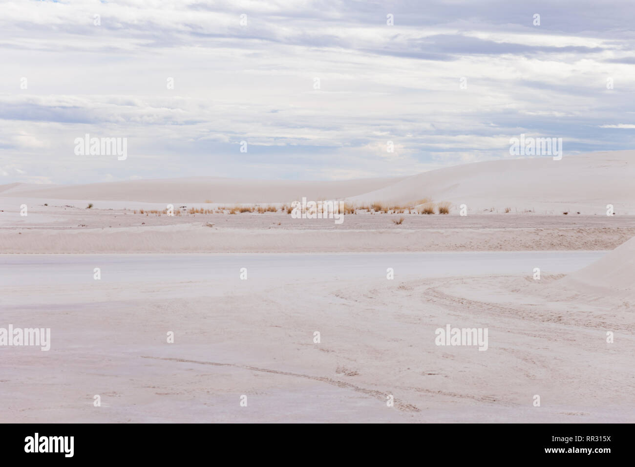 White Sands Landschaft Stockfotohttps://www.alamy.de/image-license-details/?v=1https://www.alamy.de/white-sands-landschaft-image237938678.html
RFRR315X–White Sands Landschaft
 Valles Caldera National Preserve, Los Alamos, New Mexico. Stockfotohttps://www.alamy.de/image-license-details/?v=1https://www.alamy.de/stockfoto-valles-caldera-national-preserve-los-alamos-new-mexico-28865209.html
RMBJXWT9–Valles Caldera National Preserve, Los Alamos, New Mexico.
 Mesa Arch, Canyonland Nationalpark bei Sonnenaufgang, Moab, Utah, USA. Stockfotohttps://www.alamy.de/image-license-details/?v=1https://www.alamy.de/mesa-arch-canyonland-nationalpark-bei-sonnenaufgang-moab-utah-usa-image352994916.html
RF2BE88H8–Mesa Arch, Canyonland Nationalpark bei Sonnenaufgang, Moab, Utah, USA.
 schönen Regenbogen über den Buntsandstein-Bergen im Südwesten von Utah, Teile des Zion NP Stockfotohttps://www.alamy.de/image-license-details/?v=1https://www.alamy.de/stockfoto-schonen-regenbogen-uber-den-buntsandstein-bergen-im-sudwesten-von-utah-teile-des-zion-np-76578607.html
RFECGCP7–schönen Regenbogen über den Buntsandstein-Bergen im Südwesten von Utah, Teile des Zion NP
 Eine einzelne Saguaro beherrscht die Szene als sunsetts über eine Landschaft von anderen sagurao Kakteen im Saguaro National Park (Westseite). Stockfotohttps://www.alamy.de/image-license-details/?v=1https://www.alamy.de/stockfoto-eine-einzelne-saguaro-beherrscht-die-szene-als-sunsetts-uber-eine-landschaft-von-anderen-sagurao-kakteen-im-saguaro-national-park-westseite-175516544.html
RFM5FD40–Eine einzelne Saguaro beherrscht die Szene als sunsetts über eine Landschaft von anderen sagurao Kakteen im Saguaro National Park (Westseite).
 Uhr Mann Rock-Panorama-Blick, Zion Nationalpark Stockfotohttps://www.alamy.de/image-license-details/?v=1https://www.alamy.de/stockfoto-uhr-mann-rock-panorama-blick-zion-nationalpark-104822798.html
RMG2F2FA–Uhr Mann Rock-Panorama-Blick, Zion Nationalpark
 Die erodierten Konturen rund um Zabriskie Point, Death Valley NP, Kalifornien. Stockfotohttps://www.alamy.de/image-license-details/?v=1https://www.alamy.de/die-erodierten-konturen-rund-um-zabriskie-point-death-valley-np-kalifornien-image453636339.html
RM2HA0WNR–Die erodierten Konturen rund um Zabriskie Point, Death Valley NP, Kalifornien.
 Sonnenaufgang am Mesa Arch, Canyonlands NP, Utah Stockfotohttps://www.alamy.de/image-license-details/?v=1https://www.alamy.de/sonnenaufgang-am-mesa-arch-canyonlands-np-utah-image466936557.html
RM2J3JP9H–Sonnenaufgang am Mesa Arch, Canyonlands NP, Utah
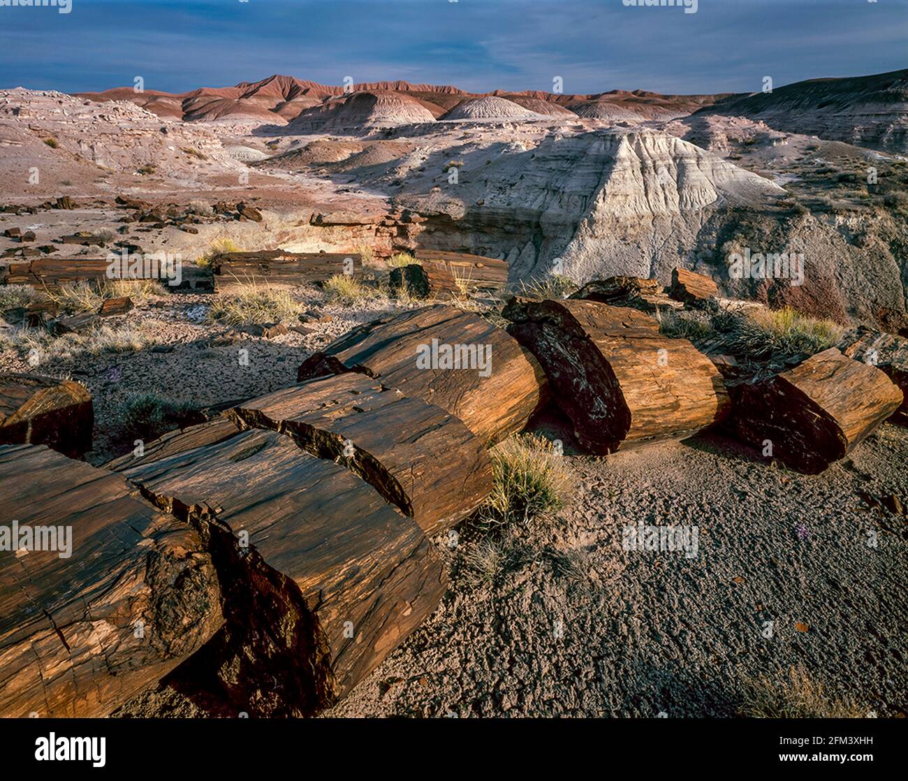 Versteinertes Holz, Painted Desert, Petrified Forest National Park, Arizona Stockfotohttps://www.alamy.de/image-license-details/?v=1https://www.alamy.de/versteinertes-holz-painted-desert-petrified-forest-national-park-arizona-image425428685.html
RF2FM3XHH–Versteinertes Holz, Painted Desert, Petrified Forest National Park, Arizona
 Tiefe Täler und hohe BUTTES von der Colorado River im Canyonlands Utah schnitt Stockfotohttps://www.alamy.de/image-license-details/?v=1https://www.alamy.de/stockfoto-tiefe-taler-und-hohe-buttes-von-der-colorado-river-im-canyonlands-utah-schnitt-170519647.html
RFKWBRFB–Tiefe Täler und hohe BUTTES von der Colorado River im Canyonlands Utah schnitt
 Almannagja-Schlucht im Schnee im Winter, Þingvellir / Thingvellir National Park bei Bláskógabyggð im Südwesten Islands Stockfotohttps://www.alamy.de/image-license-details/?v=1https://www.alamy.de/stockfoto-almannagja-schlucht-im-schnee-im-winter-ingvellir-thingvellir-national-park-bei-blskgabygg-im-sudwesten-islands-130414428.html
RMHG4TX4–Almannagja-Schlucht im Schnee im Winter, Þingvellir / Thingvellir National Park bei Bláskógabyggð im Südwesten Islands
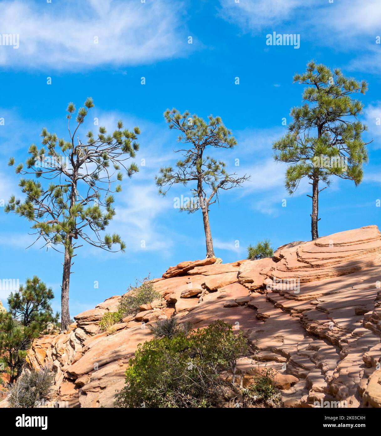 Der Zion National Park liegt im Südwesten von Utah an der Grenze zu Arizona. Es hat eine Fläche von 579 kö² und liegt zwischen 1128 m und 2660 m Höhe. Drei Pinien auf Felsen am Angels Landing Trail. Stockfotohttps://www.alamy.de/image-license-details/?v=1https://www.alamy.de/der-zion-national-park-liegt-im-sudwesten-von-utah-an-der-grenze-zu-arizona-es-hat-eine-flache-von-579-ko-und-liegt-zwischen-1128-m-und-2660-m-hohe-drei-pinien-auf-felsen-am-angels-landing-trail-image481966313.html
RM2K03CXH–Der Zion National Park liegt im Südwesten von Utah an der Grenze zu Arizona. Es hat eine Fläche von 579 kö² und liegt zwischen 1128 m und 2660 m Höhe. Drei Pinien auf Felsen am Angels Landing Trail.
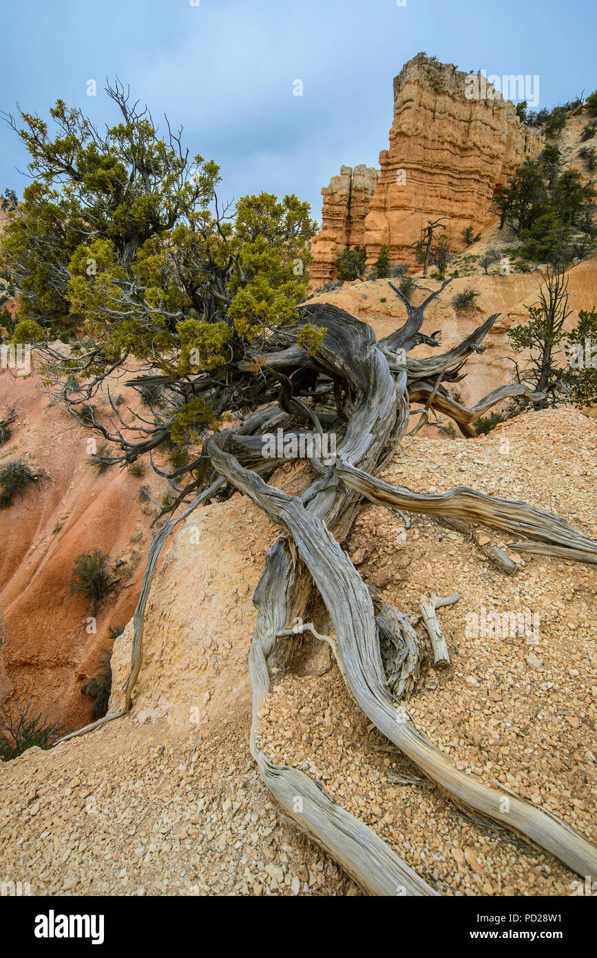 Borste Kegel Pinien (Pinus Arista), Fairlyland Canyon, Bryce Canyon NP, UT, USA, von Bruce Montagne/Dembinsky Foto Assoc Stockfotohttps://www.alamy.de/image-license-details/?v=1https://www.alamy.de/borste-kegel-pinien-pinus-arista-fairlyland-canyon-bryce-canyon-np-ut-usa-von-bruce-montagnedembinsky-foto-assoc-image214565821.html
RMPD28W1–Borste Kegel Pinien (Pinus Arista), Fairlyland Canyon, Bryce Canyon NP, UT, USA, von Bruce Montagne/Dembinsky Foto Assoc
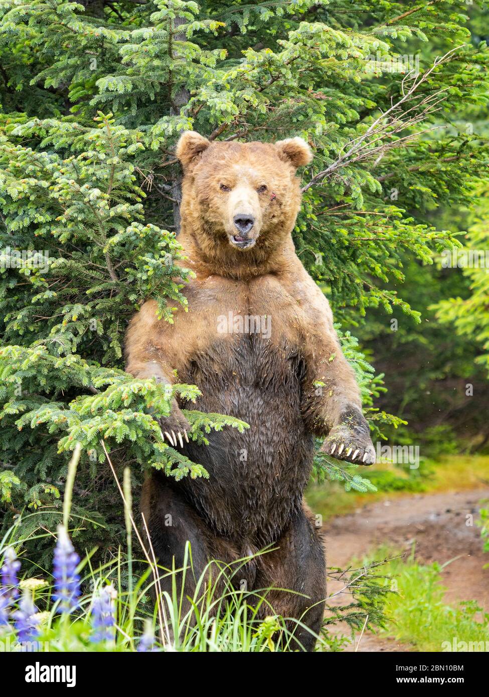 Braun / Grizzly Bear Lake-Clark-Nationalpark, Alaska. Stockfotohttps://www.alamy.de/image-license-details/?v=1https://www.alamy.de/braun-grizzly-bear-lake-clark-nationalpark-alaska-image357137416.html
RM2BN10BM–Braun / Grizzly Bear Lake-Clark-Nationalpark, Alaska.
 Colorado, Mesa Verde Nationalpark, Besucher und Forschungszentrum, Skulptur Stockfotohttps://www.alamy.de/image-license-details/?v=1https://www.alamy.de/stockfoto-colorado-mesa-verde-nationalpark-besucher-und-forschungszentrum-skulptur-125457631.html
RMH832DK–Colorado, Mesa Verde Nationalpark, Besucher und Forschungszentrum, Skulptur
 Ein Bild der Stadt Goreme in Kappadokien bei Sonnenuntergang Stockfotohttps://www.alamy.de/image-license-details/?v=1https://www.alamy.de/ein-bild-der-stadt-goreme-in-kappadokien-bei-sonnenuntergang-image631808459.html
RF2YKWA3R–Ein Bild der Stadt Goreme in Kappadokien bei Sonnenuntergang
 North Fork Virgin River bei Dämmerung, Zion Canyon, Zion Nationalpark, Utah, USA Stockfotohttps://www.alamy.de/image-license-details/?v=1https://www.alamy.de/stockfoto-north-fork-virgin-river-bei-dammerung-zion-canyon-zion-nationalpark-utah-usa-101679414.html
RMFWBW3J–North Fork Virgin River bei Dämmerung, Zion Canyon, Zion Nationalpark, Utah, USA
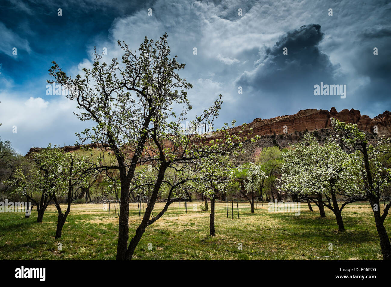 Apfelbäume in Fruita, Capitol Reef National Park, Utah, USA Stockfotohttps://www.alamy.de/image-license-details/?v=1https://www.alamy.de/apfelbaume-in-fruita-capitol-reef-national-park-utah-usa-image68990504.html
RME06P2G–Apfelbäume in Fruita, Capitol Reef National Park, Utah, USA
 Wanderer auf Zick-Zack-Abschnitt der Navajo Loop Trail, Bryce-Canyon-Nationalpark, Utah, USA Stockfotohttps://www.alamy.de/image-license-details/?v=1https://www.alamy.de/stockfoto-wanderer-auf-zick-zack-abschnitt-der-navajo-loop-trail-bryce-canyon-nationalpark-utah-usa-72615798.html
RME63X5A–Wanderer auf Zick-Zack-Abschnitt der Navajo Loop Trail, Bryce-Canyon-Nationalpark, Utah, USA
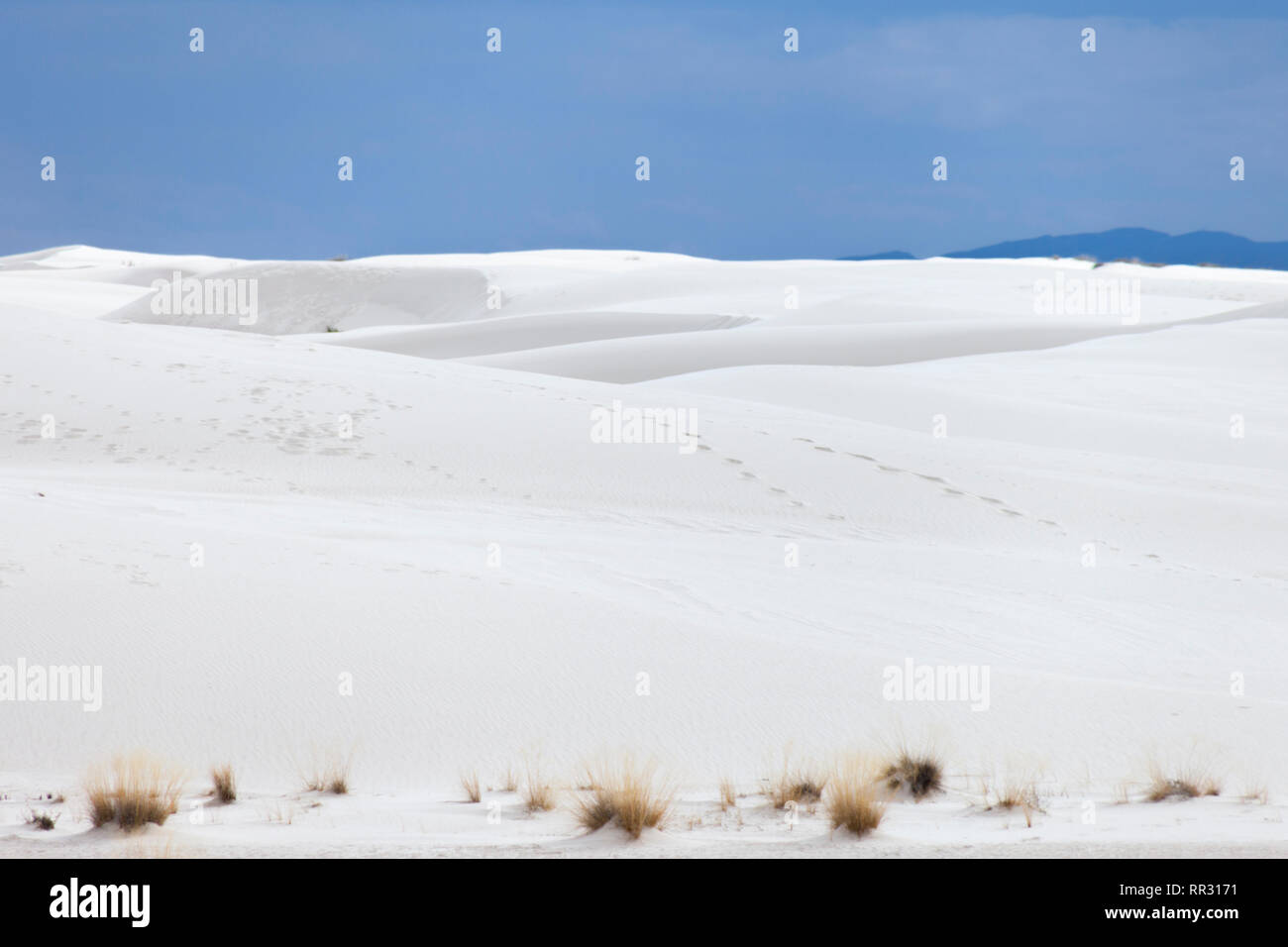 Dunkler Himmel über White Sands Stockfotohttps://www.alamy.de/image-license-details/?v=1https://www.alamy.de/dunkler-himmel-uber-white-sands-image237938709.html
RFRR3171–Dunkler Himmel über White Sands
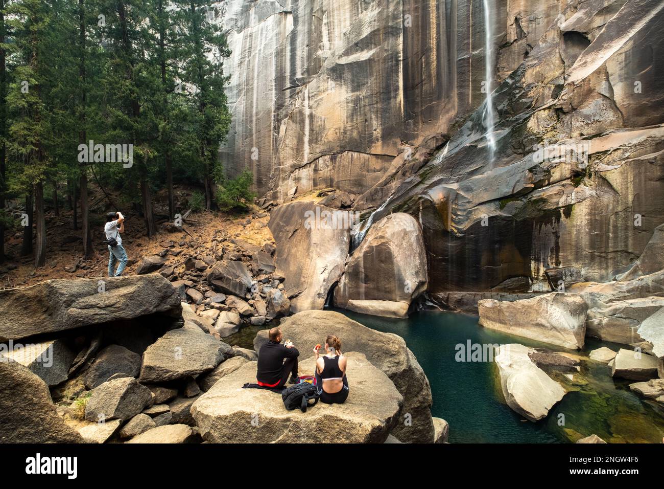 Ein Paar macht ein Picknick vor den Vernal Falls, während ein Mann ein Foto am Wasserfall Yosemite NP macht Stockfotohttps://www.alamy.de/image-license-details/?v=1https://www.alamy.de/ein-paar-macht-ein-picknick-vor-den-vernal-falls-wahrend-ein-mann-ein-foto-am-wasserfall-yosemite-np-macht-image526697898.html
RF2NGW4F6–Ein Paar macht ein Picknick vor den Vernal Falls, während ein Mann ein Foto am Wasserfall Yosemite NP macht
 Mesa Arch, Canyonland Nationalpark bei Sonnenaufgang, Moab, Utah, USA. Stockfotohttps://www.alamy.de/image-license-details/?v=1https://www.alamy.de/mesa-arch-canyonland-nationalpark-bei-sonnenaufgang-moab-utah-usa-image352994897.html
RF2BE88GH–Mesa Arch, Canyonland Nationalpark bei Sonnenaufgang, Moab, Utah, USA.
 schönen Regenbogen über den Buntsandstein-Bergen im Südwesten von Utah, Teile des Zion NP Stockfotohttps://www.alamy.de/image-license-details/?v=1https://www.alamy.de/stockfoto-schonen-regenbogen-uber-den-buntsandstein-bergen-im-sudwesten-von-utah-teile-des-zion-np-76579374.html
RFECGDNJ–schönen Regenbogen über den Buntsandstein-Bergen im Südwesten von Utah, Teile des Zion NP
 USA, Utah, Capitol Reef National Park, in der Nähe von Moenkopi Felsvorsprung und Waterpocket Fold im Capitol Reef NP mit weit entfernten Henry Mountains; Sunset Point Stockfotohttps://www.alamy.de/image-license-details/?v=1https://www.alamy.de/usa-utah-capitol-reef-national-park-in-der-nahe-von-moenkopi-felsvorsprung-und-waterpocket-fold-im-capitol-reef-np-mit-weit-entfernten-henry-mountains-sunset-point-image232595509.html
RMREBHXD–USA, Utah, Capitol Reef National Park, in der Nähe von Moenkopi Felsvorsprung und Waterpocket Fold im Capitol Reef NP mit weit entfernten Henry Mountains; Sunset Point
 Der Zion National Park ist ein US-amerikanischer Nationalpark im Südwesten Utahs in der Nähe der Stadt Springdale. Ein markantes Merkmal des 229 Quadratmeilen großen Parks ist der Zion Canyon, der 24 km lang und bis zu 2.640 m tief ist. Die Wände des Canyons sind rötlich und braun gefärbter Navajo Sandstein, der vom North Fork des Virgin River erodiert wird Stockfotohttps://www.alamy.de/image-license-details/?v=1https://www.alamy.de/der-zion-national-park-ist-ein-us-amerikanischer-nationalpark-im-sudwesten-utahs-in-der-nahe-der-stadt-springdale-ein-markantes-merkmal-des-229-quadratmeilen-grossen-parks-ist-der-zion-canyon-der-24-km-lang-und-bis-zu-2640-m-tief-ist-die-wande-des-canyons-sind-rotlich-und-braun-gefarbter-navajo-sandstein-der-vom-north-fork-des-virgin-river-erodiert-wird-image573391181.html
RM2T8T68D–Der Zion National Park ist ein US-amerikanischer Nationalpark im Südwesten Utahs in der Nähe der Stadt Springdale. Ein markantes Merkmal des 229 Quadratmeilen großen Parks ist der Zion Canyon, der 24 km lang und bis zu 2.640 m tief ist. Die Wände des Canyons sind rötlich und braun gefärbter Navajo Sandstein, der vom North Fork des Virgin River erodiert wird
 Die erodierten Berge rund um Zabriskie Point im Death Valley NP, Kalifornien. Stockfotohttps://www.alamy.de/image-license-details/?v=1https://www.alamy.de/die-erodierten-berge-rund-um-zabriskie-point-im-death-valley-np-kalifornien-image522891775.html
RM2NAKNP7–Die erodierten Berge rund um Zabriskie Point im Death Valley NP, Kalifornien.
 Arch im Joshua Tree NP, USA Stockfotohttps://www.alamy.de/image-license-details/?v=1https://www.alamy.de/stockfoto-arch-im-joshua-tree-np-usa-166404151.html
RFKJMA5B–Arch im Joshua Tree NP, USA
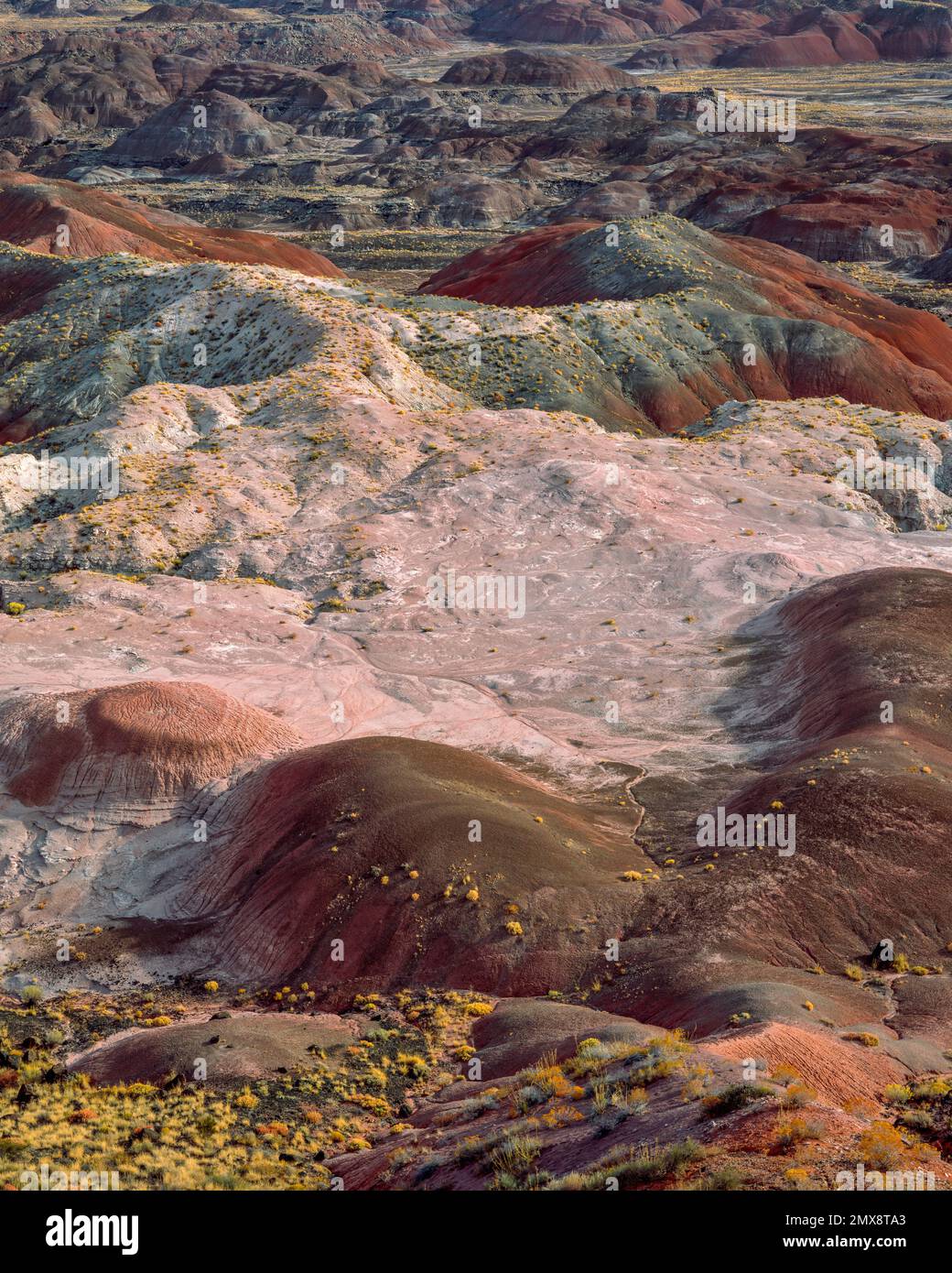 Painted Desert, Petrified Forest National Park, Arizona Stockfotohttps://www.alamy.de/image-license-details/?v=1https://www.alamy.de/painted-desert-petrified-forest-national-park-arizona-image515276443.html
RM2MX8TA3–Painted Desert, Petrified Forest National Park, Arizona
 Tiefe Täler und hohe BUTTES von der Colorado River im Canyonlands Utah schnitt Stockfotohttps://www.alamy.de/image-license-details/?v=1https://www.alamy.de/stockfoto-tiefe-taler-und-hohe-buttes-von-der-colorado-river-im-canyonlands-utah-schnitt-170519640.html
RFKWBRF4–Tiefe Täler und hohe BUTTES von der Colorado River im Canyonlands Utah schnitt
 Merrems Madagaskar-SWIFT (Oplurus cyclurus), Madagaskar-Leguan aus dem südlichen und südwestlichen Madagaskar, Afrika Stockfotohttps://www.alamy.de/image-license-details/?v=1https://www.alamy.de/merrems-madagaskar-swift-oplurus-cyclurus-madagaskar-leguan-aus-dem-sudlichen-und-sudwestlichen-madagaskar-afrika-image574785174.html
RM2TB3M9X–Merrems Madagaskar-SWIFT (Oplurus cyclurus), Madagaskar-Leguan aus dem südlichen und südwestlichen Madagaskar, Afrika
 Der Zion National Park liegt im Südwesten von Utah an der Grenze zu Arizona. Es hat eine Fläche von 579 kö² und liegt zwischen 1128 m und 2660 m Höhe. Stockfotohttps://www.alamy.de/image-license-details/?v=1https://www.alamy.de/der-zion-national-park-liegt-im-sudwesten-von-utah-an-der-grenze-zu-arizona-es-hat-eine-flache-von-579-ko-und-liegt-zwischen-1128-m-und-2660-m-hohe-image481966284.html
RM2K03CWG–Der Zion National Park liegt im Südwesten von Utah an der Grenze zu Arizona. Es hat eine Fläche von 579 kö² und liegt zwischen 1128 m und 2660 m Höhe.
 Bryce Canyon NP, Utah, USA, von Bruce Montagne/Dembinsky Foto Assoc Stockfotohttps://www.alamy.de/image-license-details/?v=1https://www.alamy.de/stockfoto-bryce-canyon-np-utah-usa-von-bruce-montagnedembinsky-foto-assoc-167215377.html
RMKM18WN–Bryce Canyon NP, Utah, USA, von Bruce Montagne/Dembinsky Foto Assoc
 Braun / Grizzly Bear Lake-Clark-Nationalpark, Alaska. Stockfotohttps://www.alamy.de/image-license-details/?v=1https://www.alamy.de/braun-grizzly-bear-lake-clark-nationalpark-alaska-image219072177.html
RMPMBGP9–Braun / Grizzly Bear Lake-Clark-Nationalpark, Alaska.
 Colorado, Mesa Verde Nationalpark, Besucher und Forschungszentrum, Skulptur Stockfotohttps://www.alamy.de/image-license-details/?v=1https://www.alamy.de/stockfoto-colorado-mesa-verde-nationalpark-besucher-und-forschungszentrum-skulptur-125457616.html
RMH832D4–Colorado, Mesa Verde Nationalpark, Besucher und Forschungszentrum, Skulptur
 Vashlovani-Nationalpark, Georgien, Asien Stockfotohttps://www.alamy.de/image-license-details/?v=1https://www.alamy.de/vashlovani-nationalpark-georgien-asien-image636595200.html
RF2YYKBJT–Vashlovani-Nationalpark, Georgien, Asien
 Der Kammhäher Cyanocorax chrysops kommt im Südwesten Brasiliens, in Bolivien, Paraguay, Uruguay und im Nordosten Argentiniens vor. Iguazu Natio Stockfotohttps://www.alamy.de/image-license-details/?v=1https://www.alamy.de/der-kammhaher-cyanocorax-chrysops-kommt-im-sudwesten-brasiliens-in-bolivien-paraguay-uruguay-und-im-nordosten-argentiniens-vor-iguazu-natio-image410339670.html
RM2ERGGC6–Der Kammhäher Cyanocorax chrysops kommt im Südwesten Brasiliens, in Bolivien, Paraguay, Uruguay und im Nordosten Argentiniens vor. Iguazu Natio
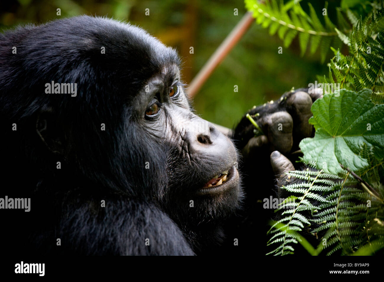 Juvenile Berggorillas, Bwindi NP, Uganda, Ostafrika Stockfotohttps://www.alamy.de/image-license-details/?v=1https://www.alamy.de/stockfoto-juvenile-berggorillas-bwindi-np-uganda-ostafrika-34012113.html
RMBY9AP9–Juvenile Berggorillas, Bwindi NP, Uganda, Ostafrika
 Wanderer auf Zick-Zack-Abschnitt der Navajo Loop Trail, Bryce-Canyon-Nationalpark, Utah, USA Stockfotohttps://www.alamy.de/image-license-details/?v=1https://www.alamy.de/stockfoto-wanderer-auf-zick-zack-abschnitt-der-navajo-loop-trail-bryce-canyon-nationalpark-utah-usa-72615789.html
RME63X51–Wanderer auf Zick-Zack-Abschnitt der Navajo Loop Trail, Bryce-Canyon-Nationalpark, Utah, USA
 Flauschigen weißen Sand im White Sands National Monument Stockfotohttps://www.alamy.de/image-license-details/?v=1https://www.alamy.de/flauschigen-weissen-sand-im-white-sands-national-monument-image237938718.html
RFRR317A–Flauschigen weißen Sand im White Sands National Monument
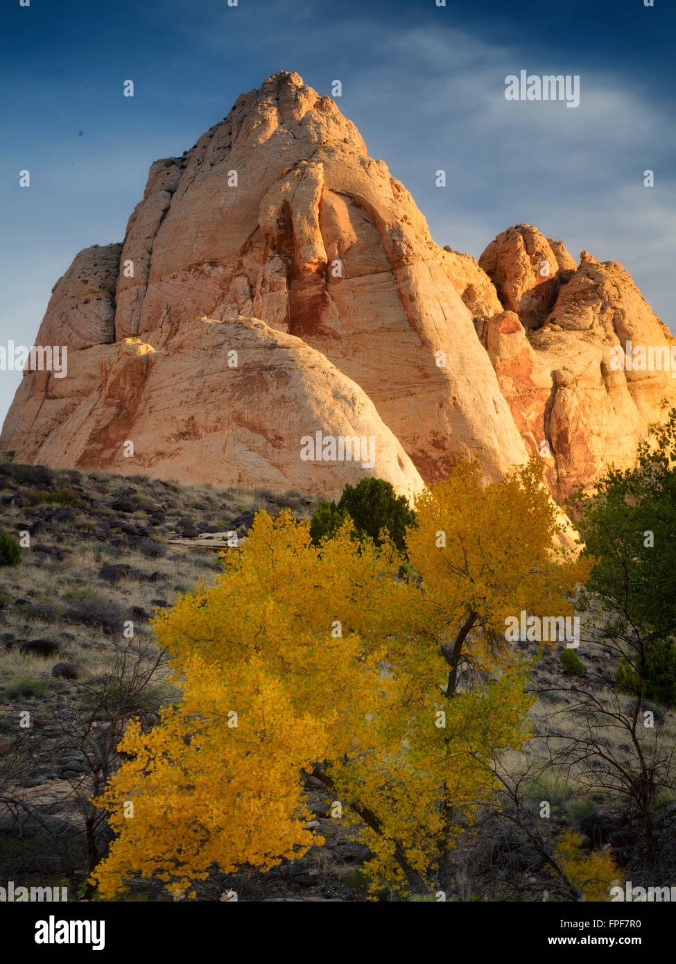 Felsformationen und Herbst Farbe in Capitol Reef National Park, Utah Stockfotohttps://www.alamy.de/image-license-details/?v=1https://www.alamy.de/stockfoto-felsformationen-und-herbst-farbe-in-capitol-reef-national-park-utah-99909684.html
RMFPF7R0–Felsformationen und Herbst Farbe in Capitol Reef National Park, Utah
 Mesa Arch, Canyonland Nationalpark bei Sonnenaufgang, Moab, Utah, USA. Stockfotohttps://www.alamy.de/image-license-details/?v=1https://www.alamy.de/mesa-arch-canyonland-nationalpark-bei-sonnenaufgang-moab-utah-usa-image357758003.html
RF2BP17YF–Mesa Arch, Canyonland Nationalpark bei Sonnenaufgang, Moab, Utah, USA.
 schönen Regenbogen über den Buntsandstein-Bergen im Südwesten von Utah, Teile des Zion NP Stockfotohttps://www.alamy.de/image-license-details/?v=1https://www.alamy.de/stockfoto-schonen-regenbogen-uber-den-buntsandstein-bergen-im-sudwesten-von-utah-teile-des-zion-np-76578670.html
RFECGCTE–schönen Regenbogen über den Buntsandstein-Bergen im Südwesten von Utah, Teile des Zion NP
 Düne 45 im Namib-Naukluft-Nationalpark, Namibia Stockfotohttps://www.alamy.de/image-license-details/?v=1https://www.alamy.de/stockfoto-dune-45-im-namib-naukluft-nationalpark-namibia-19738360.html
RMB434DC–Düne 45 im Namib-Naukluft-Nationalpark, Namibia
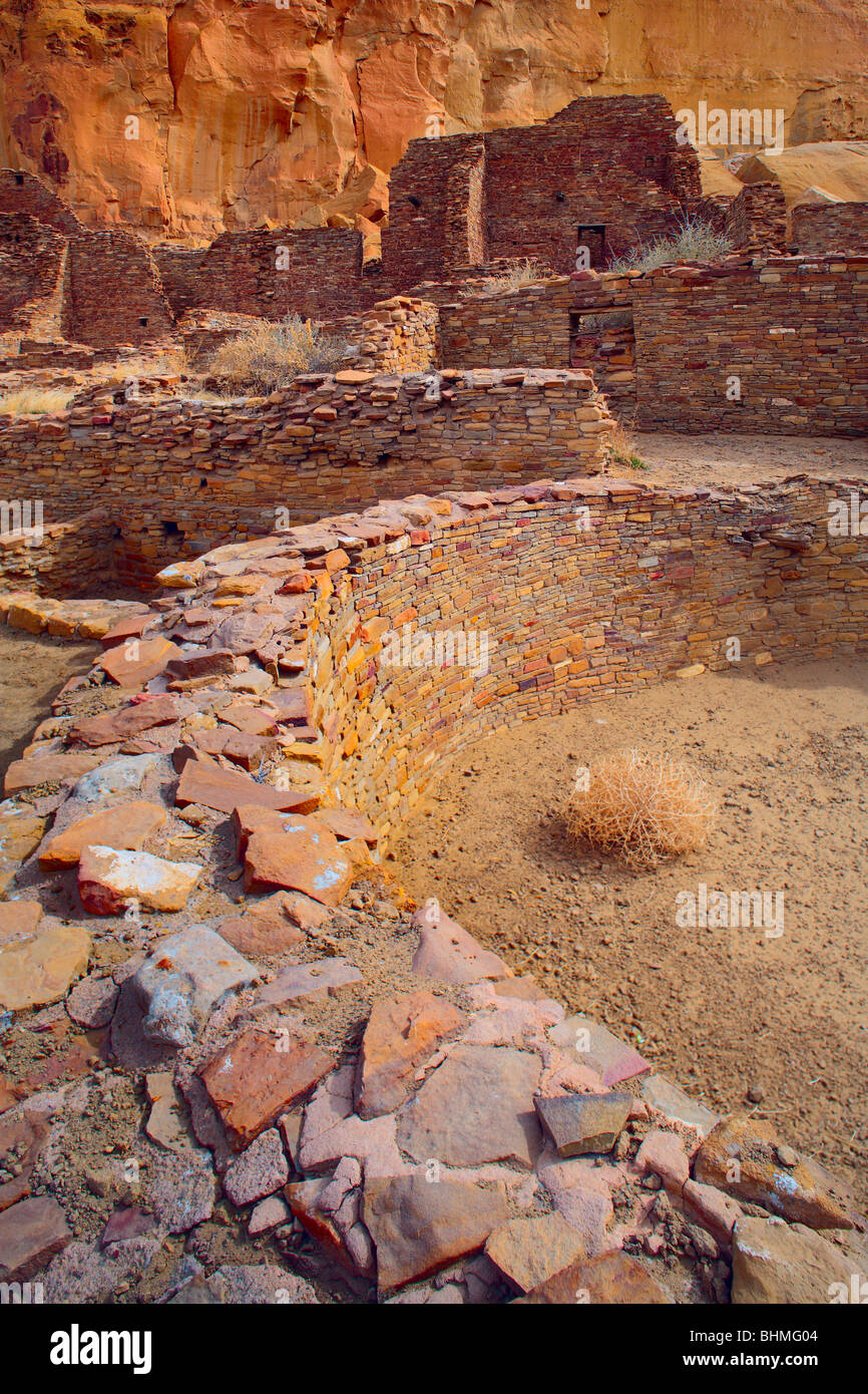 Kiva Pueblo Bonito im Chaco Culture National Historical Park Stockfotohttps://www.alamy.de/image-license-details/?v=1https://www.alamy.de/stockfoto-kiva-pueblo-bonito-im-chaco-culture-national-historical-park-28111108.html
RMBHMG04–Kiva Pueblo Bonito im Chaco Culture National Historical Park
 Knochentrockene Formationen rund um Zabriskie Point im Death Valley NP, Kalifornien. Stockfotohttps://www.alamy.de/image-license-details/?v=1https://www.alamy.de/knochentrockene-formationen-rund-um-zabriskie-point-im-death-valley-np-kalifornien-image501659594.html
RM2M44FX2–Knochentrockene Formationen rund um Zabriskie Point im Death Valley NP, Kalifornien.
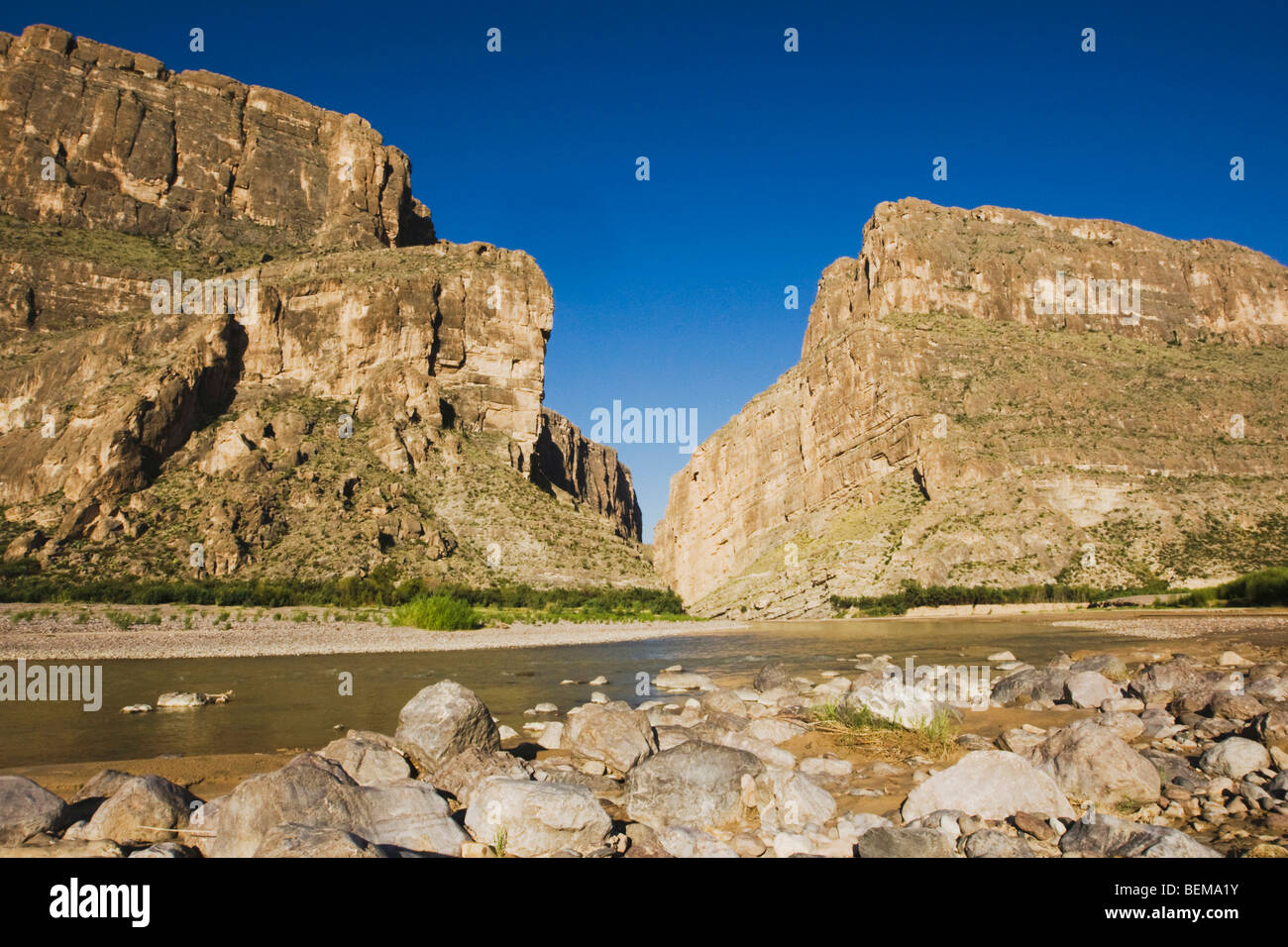 Santa Elena Canyon, Chisos Mountains, Big Bend National Park, Chihuahua-Wüste, West-Texas, USA Stockfotohttps://www.alamy.de/image-license-details/?v=1https://www.alamy.de/stockfoto-santa-elena-canyon-chisos-mountains-big-bend-national-park-chihuahua-wuste-west-texas-usa-26262487.html
RFBEMA1Y–Santa Elena Canyon, Chisos Mountains, Big Bend National Park, Chihuahua-Wüste, West-Texas, USA
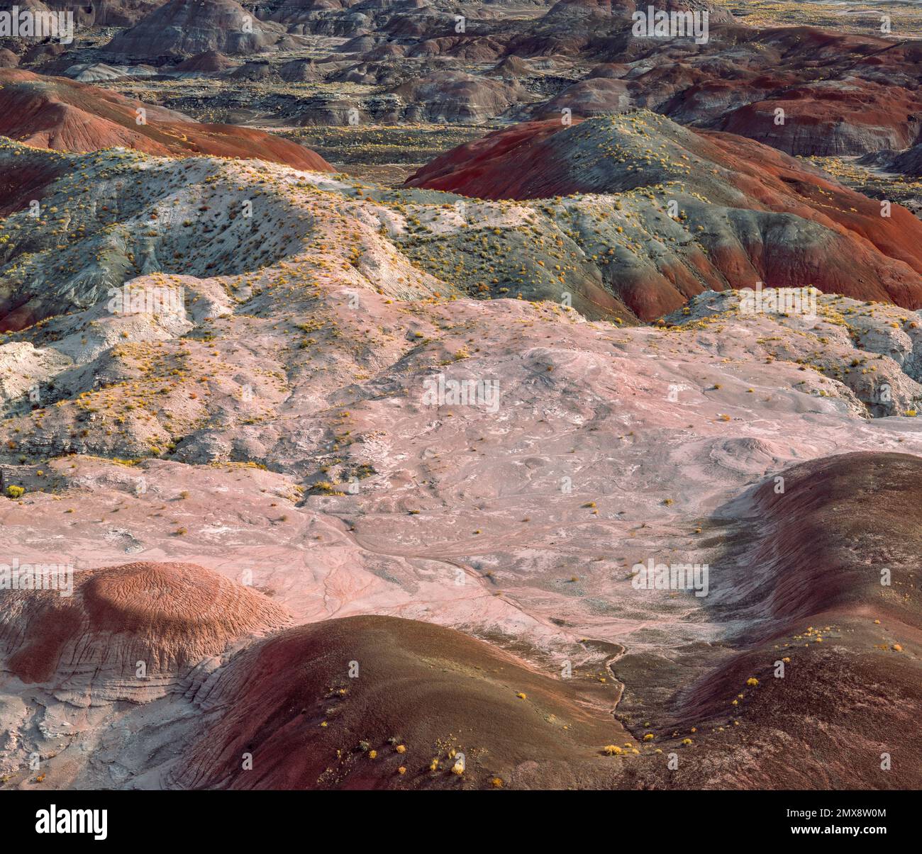 Painted Desert, Petrified Forest National Park, Arizona Stockfotohttps://www.alamy.de/image-license-details/?v=1https://www.alamy.de/painted-desert-petrified-forest-national-park-arizona-image515276964.html
RM2MX8W0M–Painted Desert, Petrified Forest National Park, Arizona
 Auf der Straße im Joshua Tree National Park, einer Wüstenlandschaft im Südosten Kaliforniens, USA Stockfotohttps://www.alamy.de/image-license-details/?v=1https://www.alamy.de/auf-der-strasse-im-joshua-tree-national-park-einer-wustenlandschaft-im-sudosten-kaliforniens-usa-image596191132.html
RF2WHXRTC–Auf der Straße im Joshua Tree National Park, einer Wüstenlandschaft im Südosten Kaliforniens, USA
 Pecos nationaler historischer Park, New Mexico. Stockfotohttps://www.alamy.de/image-license-details/?v=1https://www.alamy.de/stockfoto-pecos-nationaler-historischer-park-new-mexico-28262573.html
RMBHYD5H–Pecos nationaler historischer Park, New Mexico.
 Der Zion National Park liegt im Südwesten von Utah an der Grenze zu Arizona. Es hat eine Fläche von 579 kö² und liegt zwischen 1128 m und 2660 m Höhe. Stockfotohttps://www.alamy.de/image-license-details/?v=1https://www.alamy.de/der-zion-national-park-liegt-im-sudwesten-von-utah-an-der-grenze-zu-arizona-es-hat-eine-flache-von-579-ko-und-liegt-zwischen-1128-m-und-2660-m-hohe-image481966186.html
RM2K03CP2–Der Zion National Park liegt im Südwesten von Utah an der Grenze zu Arizona. Es hat eine Fläche von 579 kö² und liegt zwischen 1128 m und 2660 m Höhe.
 Bryce Canyon NP, Utah, USA, von Bruce Montagne/Dembinsky Foto Assoc Stockfotohttps://www.alamy.de/image-license-details/?v=1https://www.alamy.de/stockfoto-bryce-canyon-np-utah-usa-von-bruce-montagnedembinsky-foto-assoc-167215364.html
RMKM18W8–Bryce Canyon NP, Utah, USA, von Bruce Montagne/Dembinsky Foto Assoc
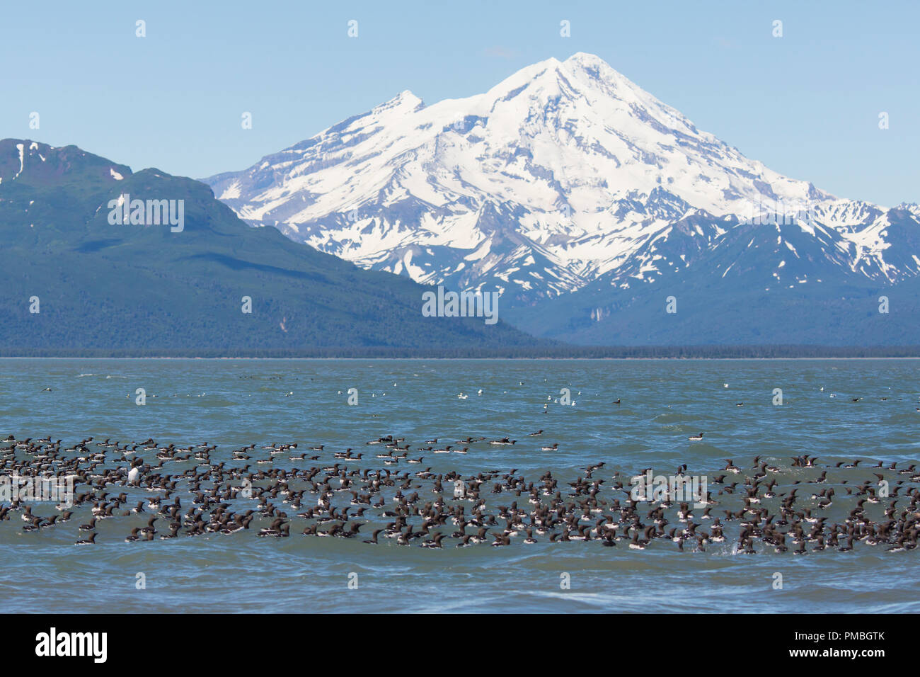 Floß der Gemeinsamen Murres mit Mt Redoubt Volcano, Lake Clark National Park, Alaska. Stockfotohttps://www.alamy.de/image-license-details/?v=1https://www.alamy.de/floss-der-gemeinsamen-murres-mit-mt-redoubt-volcano-lake-clark-national-park-alaska-image219072243.html
RMPMBGTK–Floß der Gemeinsamen Murres mit Mt Redoubt Volcano, Lake Clark National Park, Alaska.
 USA, Utah, Grand Staircase Escalante National Monument, die fliegenpilze Stockfotohttps://www.alamy.de/image-license-details/?v=1https://www.alamy.de/usa-utah-grand-staircase-escalante-national-monument-die-fliegenpilze-image210808297.html
RFP6Y43N–USA, Utah, Grand Staircase Escalante National Monument, die fliegenpilze
 Rock Nuthatch, Sitta neumayer, Qobustan Nationalpark, Aserbaidschan, Asien Stockfotohttps://www.alamy.de/image-license-details/?v=1https://www.alamy.de/rock-nuthatch-sitta-neumayer-qobustan-nationalpark-aserbaidschan-asien-image636595860.html
RF2YYKCEC–Rock Nuthatch, Sitta neumayer, Qobustan Nationalpark, Aserbaidschan, Asien
 Der Kammhäher Cyanocorax chrysops kommt im Südwesten Brasiliens, in Bolivien, Paraguay, Uruguay und im Nordosten Argentiniens vor. Iguazu Natio Stockfotohttps://www.alamy.de/image-license-details/?v=1https://www.alamy.de/der-kammhaher-cyanocorax-chrysops-kommt-im-sudwesten-brasiliens-in-bolivien-paraguay-uruguay-und-im-nordosten-argentiniens-vor-iguazu-natio-image410339705.html
RM2ERGGDD–Der Kammhäher Cyanocorax chrysops kommt im Südwesten Brasiliens, in Bolivien, Paraguay, Uruguay und im Nordosten Argentiniens vor. Iguazu Natio
 Juvenile Berggorillas, Bwindi NP, Uganda, Ostafrika Stockfotohttps://www.alamy.de/image-license-details/?v=1https://www.alamy.de/stockfoto-juvenile-berggorillas-bwindi-np-uganda-ostafrika-34012066.html
RMBY9AMJ–Juvenile Berggorillas, Bwindi NP, Uganda, Ostafrika
 Wanderer auf Zick-Zack-Abschnitt der Navajo Loop Trail, Bryce-Canyon-Nationalpark, Utah, USA Stockfotohttps://www.alamy.de/image-license-details/?v=1https://www.alamy.de/stockfoto-wanderer-auf-zick-zack-abschnitt-der-navajo-loop-trail-bryce-canyon-nationalpark-utah-usa-72615788.html
RME63X50–Wanderer auf Zick-Zack-Abschnitt der Navajo Loop Trail, Bryce-Canyon-Nationalpark, Utah, USA
 Barfüßigen Jungen springen von Sand dune Stockfotohttps://www.alamy.de/image-license-details/?v=1https://www.alamy.de/barfussigen-jungen-springen-von-sand-dune-image237938738.html
RFRR3182–Barfüßigen Jungen springen von Sand dune
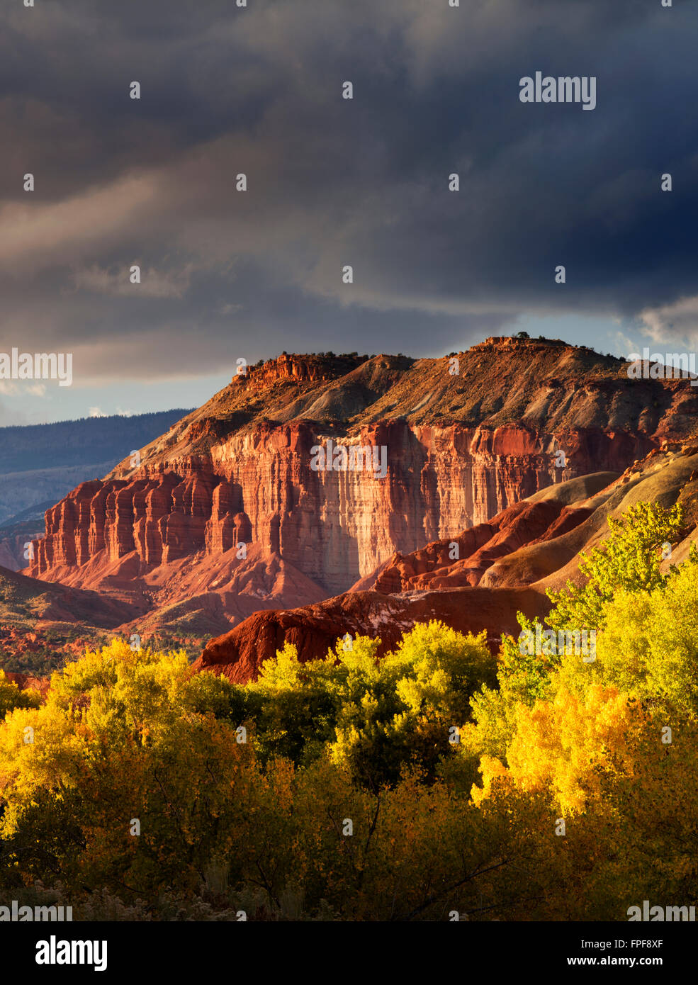 Fallen Sie farbige Pappeln und Felsformationen mit Gewitterwolken. Capitol Reef National Park, Utah Stockfotohttps://www.alamy.de/image-license-details/?v=1https://www.alamy.de/stockfoto-fallen-sie-farbige-pappeln-und-felsformationen-mit-gewitterwolken-capitol-reef-national-park-utah-99910567.html
RMFPF8XF–Fallen Sie farbige Pappeln und Felsformationen mit Gewitterwolken. Capitol Reef National Park, Utah
 Mesa Arch, Canyonland Nationalpark bei Sonnenaufgang, Moab, Utah, USA. Stockfotohttps://www.alamy.de/image-license-details/?v=1https://www.alamy.de/mesa-arch-canyonland-nationalpark-bei-sonnenaufgang-moab-utah-usa-image209526727.html
RFP4TNDB–Mesa Arch, Canyonland Nationalpark bei Sonnenaufgang, Moab, Utah, USA.
 Canyonlands NP, Utah - Dezember 20: Fotografen und Touristen bis zum Sonnenaufgang am Mesa Arch gesäumt. 20 Dezember 2018, Canyonlands NP, Utah Stockfotohttps://www.alamy.de/image-license-details/?v=1https://www.alamy.de/canyonlands-np-utah-dezember-20-fotografen-und-touristen-bis-zum-sonnenaufgang-am-mesa-arch-gesaumt-20-dezember-2018-canyonlands-np-utah-image239716635.html
RFRX010B–Canyonlands NP, Utah - Dezember 20: Fotografen und Touristen bis zum Sonnenaufgang am Mesa Arch gesäumt. 20 Dezember 2018, Canyonlands NP, Utah
 Sanddünen in der Namib-Naukluft National Park, Namibia Stockfotohttps://www.alamy.de/image-license-details/?v=1https://www.alamy.de/stockfoto-sanddunen-in-der-namib-naukluft-national-park-namibia-20111725.html
RMB4M4KW–Sanddünen in der Namib-Naukluft National Park, Namibia
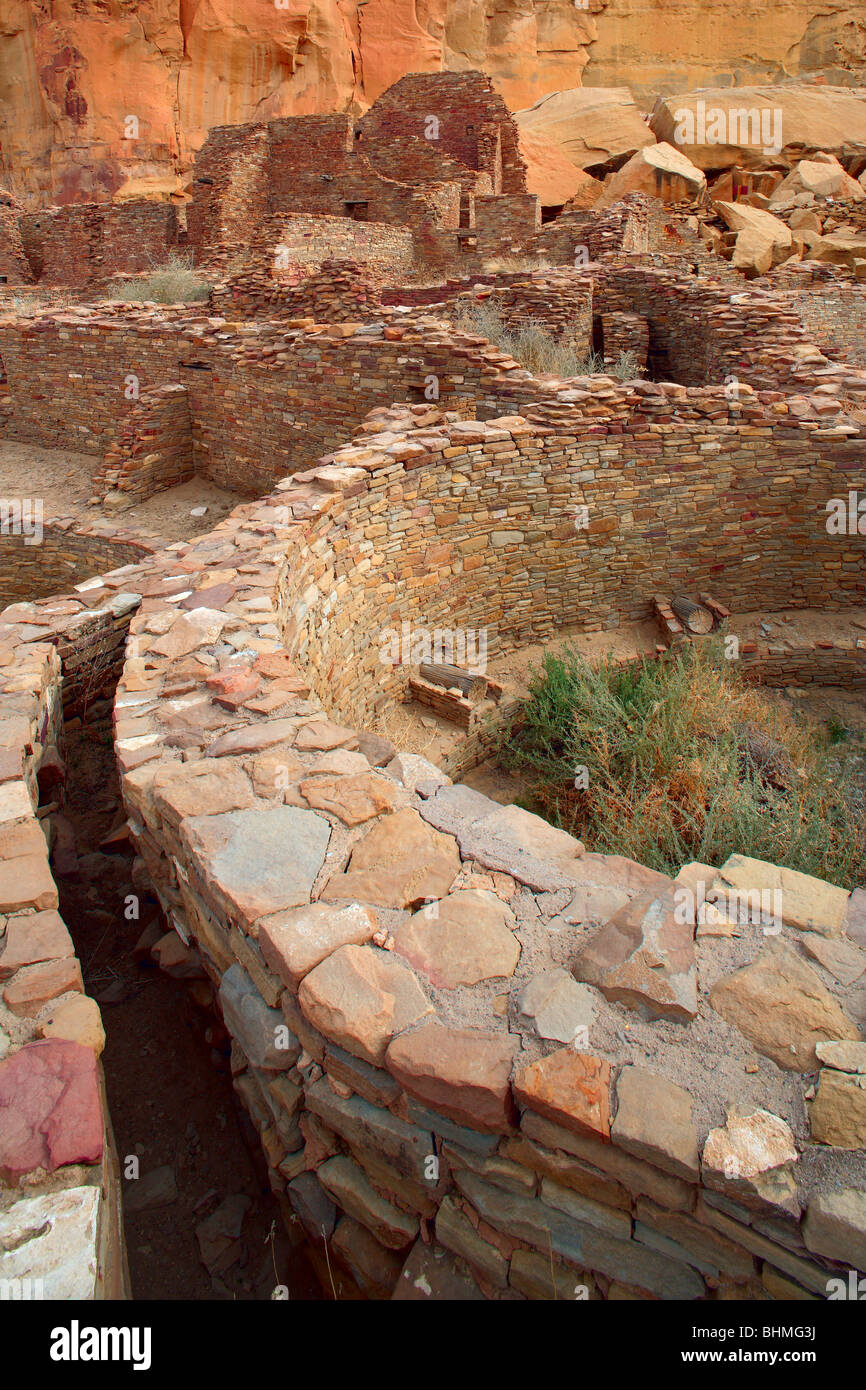 Kiva Pueblo Bonito im Chaco Culture National Historical Park Stockfotohttps://www.alamy.de/image-license-details/?v=1https://www.alamy.de/stockfoto-kiva-pueblo-bonito-im-chaco-culture-national-historical-park-28111206.html
RMBHMG3J–Kiva Pueblo Bonito im Chaco Culture National Historical Park
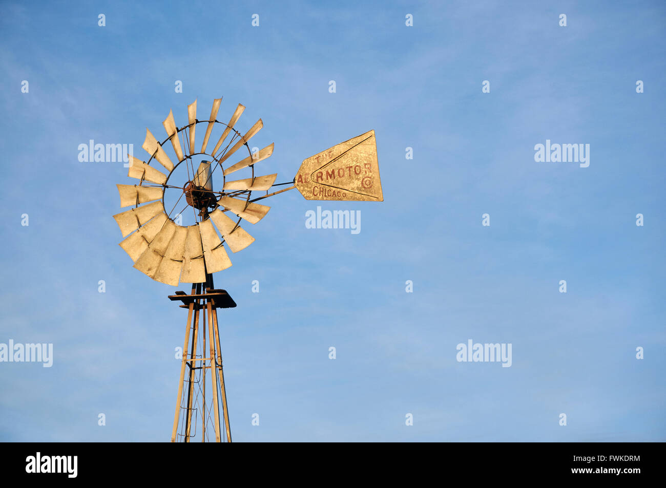 Windmühle Wasserpumpe, Big Bend Land in der Nähe von Marathon, Texas, USA Stockfotohttps://www.alamy.de/image-license-details/?v=1https://www.alamy.de/stockfoto-windmuhle-wasserpumpe-big-bend-land-in-der-nahe-von-marathon-texas-usa-101846184.html
RMFWKDRM–Windmühle Wasserpumpe, Big Bend Land in der Nähe von Marathon, Texas, USA
 Santa Elena Canyon und Desert Marigold (Baileya Multiradiata), Big Bend Nationalpark, Chihuahua-Wüste, West-Texas, USA Stockfotohttps://www.alamy.de/image-license-details/?v=1https://www.alamy.de/stockfoto-santa-elena-canyon-und-desert-marigold-baileya-multiradiata-big-bend-nationalpark-chihuahua-wuste-west-texas-usa-26262509.html
RFBEMA2N–Santa Elena Canyon und Desert Marigold (Baileya Multiradiata), Big Bend Nationalpark, Chihuahua-Wüste, West-Texas, USA
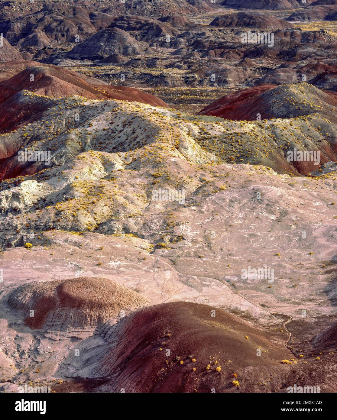 Painted Desert, Petrified Forest National Park, Arizona Stockfotohttps://www.alamy.de/image-license-details/?v=1https://www.alamy.de/painted-desert-petrified-forest-national-park-arizona-image515276453.html
RM2MX8TAD–Painted Desert, Petrified Forest National Park, Arizona
 Natur des Arches National Park Stockfotohttps://www.alamy.de/image-license-details/?v=1https://www.alamy.de/natur-des-arches-national-park-image388514906.html
RF2DG2AMA–Natur des Arches National Park
 Landschaften Stockfotohttps://www.alamy.de/image-license-details/?v=1https://www.alamy.de/stockfoto-landschaften-124659508.html
RFH6PMD8–Landschaften
 Der Zion National Park liegt im Südwesten von Utah an der Grenze zu Arizona. Es hat eine Fläche von 579 kö² und liegt zwischen 1128 m und 2660 m Höhe. West Rim Trail. Stockfotohttps://www.alamy.de/image-license-details/?v=1https://www.alamy.de/der-zion-national-park-liegt-im-sudwesten-von-utah-an-der-grenze-zu-arizona-es-hat-eine-flache-von-579-ko-und-liegt-zwischen-1128-m-und-2660-m-hohe-west-rim-trail-image481966274.html
RM2K03CW6–Der Zion National Park liegt im Südwesten von Utah an der Grenze zu Arizona. Es hat eine Fläche von 579 kö² und liegt zwischen 1128 m und 2660 m Höhe. West Rim Trail.
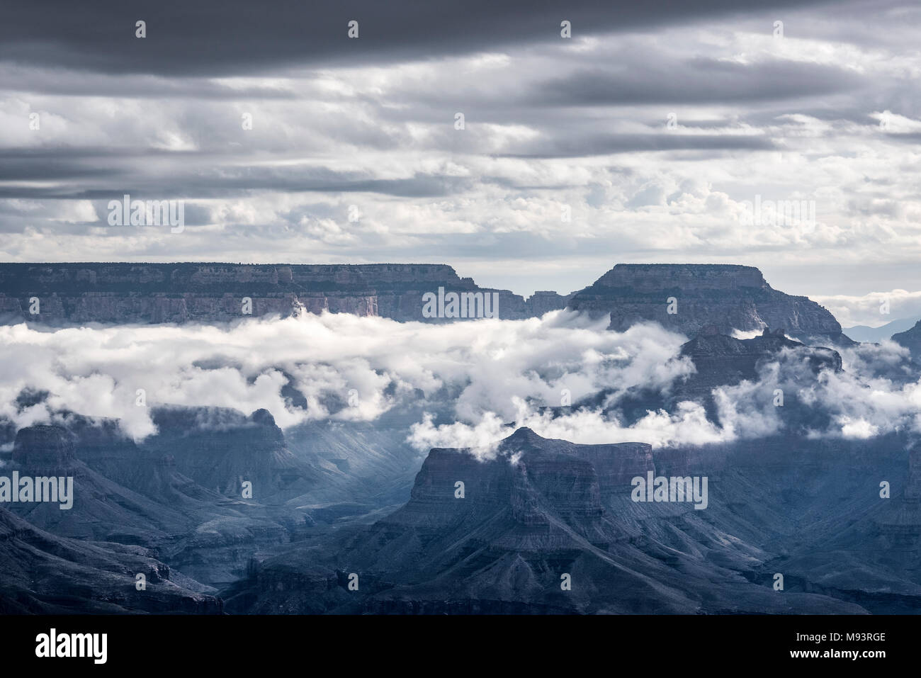 Morgen Wolken, Yavapai Point, Grand Canyon NP, AZ, USA, Mitte September, von Dominique Braud/Dembinsky Foto Assoc Stockfotohttps://www.alamy.de/image-license-details/?v=1https://www.alamy.de/morgen-wolken-yavapai-point-grand-canyon-np-az-usa-mitte-september-von-dominique-brauddembinsky-foto-assoc-image177719934.html
RMM93RGE–Morgen Wolken, Yavapai Point, Grand Canyon NP, AZ, USA, Mitte September, von Dominique Braud/Dembinsky Foto Assoc
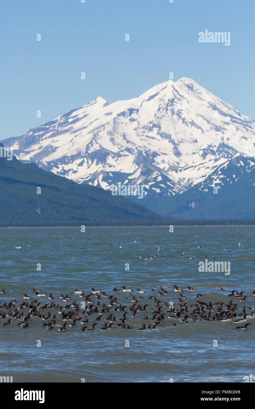 Floß der Gemeinsamen Murres mit Mt Redoubt Volcano, Lake Clark National Park, Alaska. Stockfotohttps://www.alamy.de/image-license-details/?v=1https://www.alamy.de/floss-der-gemeinsamen-murres-mit-mt-redoubt-volcano-lake-clark-national-park-alaska-image219072263.html
RMPMBGWB–Floß der Gemeinsamen Murres mit Mt Redoubt Volcano, Lake Clark National Park, Alaska.
 Pecos nationaler historischer Park, New Mexico. Stockfotohttps://www.alamy.de/image-license-details/?v=1https://www.alamy.de/stockfoto-pecos-nationaler-historischer-park-new-mexico-28259878.html
RMBHY9NA–Pecos nationaler historischer Park, New Mexico.
 Ein Bild der Landschaft des Goreme Historical National Park, aus dem Love Valley gesehen, bei Sonnenaufgang Stockfotohttps://www.alamy.de/image-license-details/?v=1https://www.alamy.de/ein-bild-der-landschaft-des-goreme-historical-national-park-aus-dem-love-valley-gesehen-bei-sonnenaufgang-image631812416.html
RF2YKWF54–Ein Bild der Landschaft des Goreme Historical National Park, aus dem Love Valley gesehen, bei Sonnenaufgang
 Der Kammhäher Cyanocorax chrysops kommt im Südwesten Brasiliens, in Bolivien, Paraguay, Uruguay und im Nordosten Argentiniens vor. Iguazu Natio Stockfotohttps://www.alamy.de/image-license-details/?v=1https://www.alamy.de/der-kammhaher-cyanocorax-chrysops-kommt-im-sudwesten-brasiliens-in-bolivien-paraguay-uruguay-und-im-nordosten-argentiniens-vor-iguazu-natio-image410339718.html
RM2ERGGDX–Der Kammhäher Cyanocorax chrysops kommt im Südwesten Brasiliens, in Bolivien, Paraguay, Uruguay und im Nordosten Argentiniens vor. Iguazu Natio
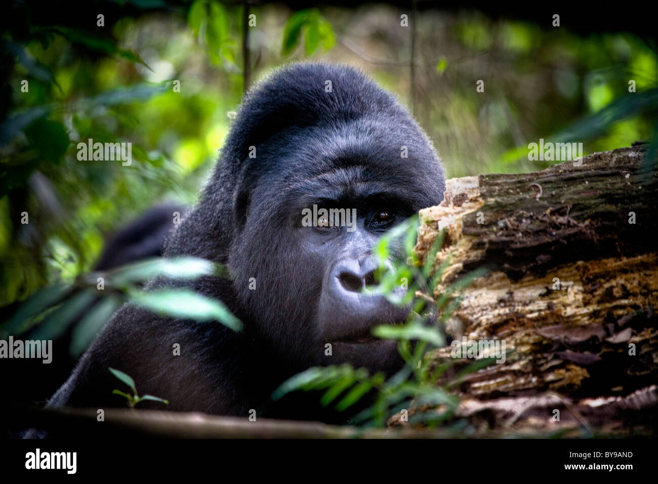 Silverback Berggorillas, Bwindi NP, Uganda, Ostafrika Stockfotohttps://www.alamy.de/image-license-details/?v=1https://www.alamy.de/stockfoto-silverback-berggorillas-bwindi-np-uganda-ostafrika-34012089.html
RMBY9AND–Silverback Berggorillas, Bwindi NP, Uganda, Ostafrika
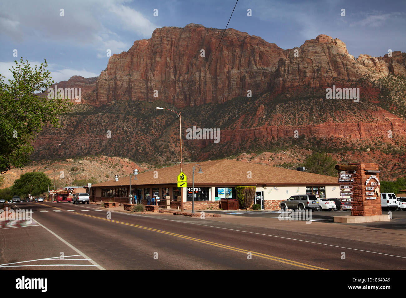 Hauptstraße von Springdale, von Zion Nationalpark, Utah, USA Stockfotohttps://www.alamy.de/image-license-details/?v=1https://www.alamy.de/stockfoto-hauptstrasse-von-springdale-von-zion-nationalpark-utah-usa-72617505.html
RME640A9–Hauptstraße von Springdale, von Zion Nationalpark, Utah, USA
 Bäume Burned durch Waldbrand im Yellowstone National Park in Wyoming USA Stockfotohttps://www.alamy.de/image-license-details/?v=1https://www.alamy.de/stockfoto-baume-burned-durch-waldbrand-im-yellowstone-national-park-in-wyoming-usa-23486180.html
RMBA5TT4–Bäume Burned durch Waldbrand im Yellowstone National Park in Wyoming USA
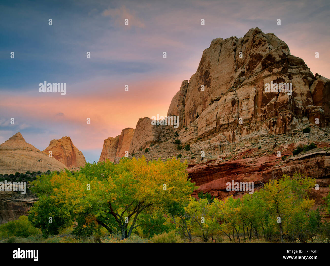 Felsformationen und Herbst Farbe in Capitol Reef National Park, Utah Stockfotohttps://www.alamy.de/image-license-details/?v=1https://www.alamy.de/stockfoto-felsformationen-und-herbst-farbe-in-capitol-reef-national-park-utah-99909505.html
RMFPF7GH–Felsformationen und Herbst Farbe in Capitol Reef National Park, Utah
 Mesa Arch, Canyonland Nationalpark bei Sonnenaufgang, Moab, Utah, USA. Stockfotohttps://www.alamy.de/image-license-details/?v=1https://www.alamy.de/mesa-arch-canyonland-nationalpark-bei-sonnenaufgang-moab-utah-usa-image209526715.html
RFP4TNCY–Mesa Arch, Canyonland Nationalpark bei Sonnenaufgang, Moab, Utah, USA.
 Canyonlands NP, Utah - Dezember 20: Fotografen und Touristen bis zum Sonnenaufgang am Mesa Arch gesäumt. 20 Dezember 2018, Canyonlands NP, Utah Stockfotohttps://www.alamy.de/image-license-details/?v=1https://www.alamy.de/canyonlands-np-utah-dezember-20-fotografen-und-touristen-bis-zum-sonnenaufgang-am-mesa-arch-gesaumt-20-dezember-2018-canyonlands-np-utah-image239716608.html
RFRX00YC–Canyonlands NP, Utah - Dezember 20: Fotografen und Touristen bis zum Sonnenaufgang am Mesa Arch gesäumt. 20 Dezember 2018, Canyonlands NP, Utah
 Straße zum Sossusvlei im Namib-Naukluft-Nationalpark, Namibia Stockfotohttps://www.alamy.de/image-license-details/?v=1https://www.alamy.de/stockfoto-strasse-zum-sossusvlei-im-namib-naukluft-nationalpark-namibia-19746404.html
RMB43EMM–Straße zum Sossusvlei im Namib-Naukluft-Nationalpark, Namibia
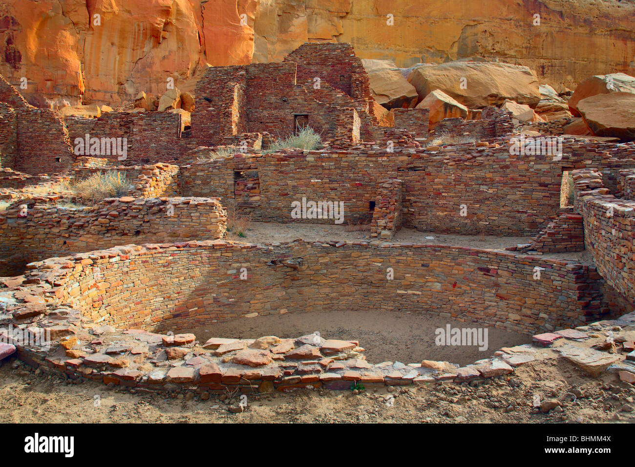 Kiva Pueblo Bonito im Chaco Culture National Historical Park Stockfotohttps://www.alamy.de/image-license-details/?v=1https://www.alamy.de/stockfoto-kiva-pueblo-bonito-im-chaco-culture-national-historical-park-28114378.html
RMBHMM4X–Kiva Pueblo Bonito im Chaco Culture National Historical Park
 Windmühle Wasserpumpe, Big Bend Land in der Nähe von Marathon, Texas, USA Stockfotohttps://www.alamy.de/image-license-details/?v=1https://www.alamy.de/stockfoto-windmuhle-wasserpumpe-big-bend-land-in-der-nahe-von-marathon-texas-usa-101846187.html
RMFWKDRR–Windmühle Wasserpumpe, Big Bend Land in der Nähe von Marathon, Texas, USA
 Parken Sie Straßen- und Tunnelbau, Chisos Mountains, Big Bend Nationalpark, Chihuahua-Wüste, West-Texas, USA Stockfotohttps://www.alamy.de/image-license-details/?v=1https://www.alamy.de/stockfoto-parken-sie-strassen-und-tunnelbau-chisos-mountains-big-bend-nationalpark-chihuahua-wuste-west-texas-usa-26262411.html
RFBEM9Y7–Parken Sie Straßen- und Tunnelbau, Chisos Mountains, Big Bend Nationalpark, Chihuahua-Wüste, West-Texas, USA
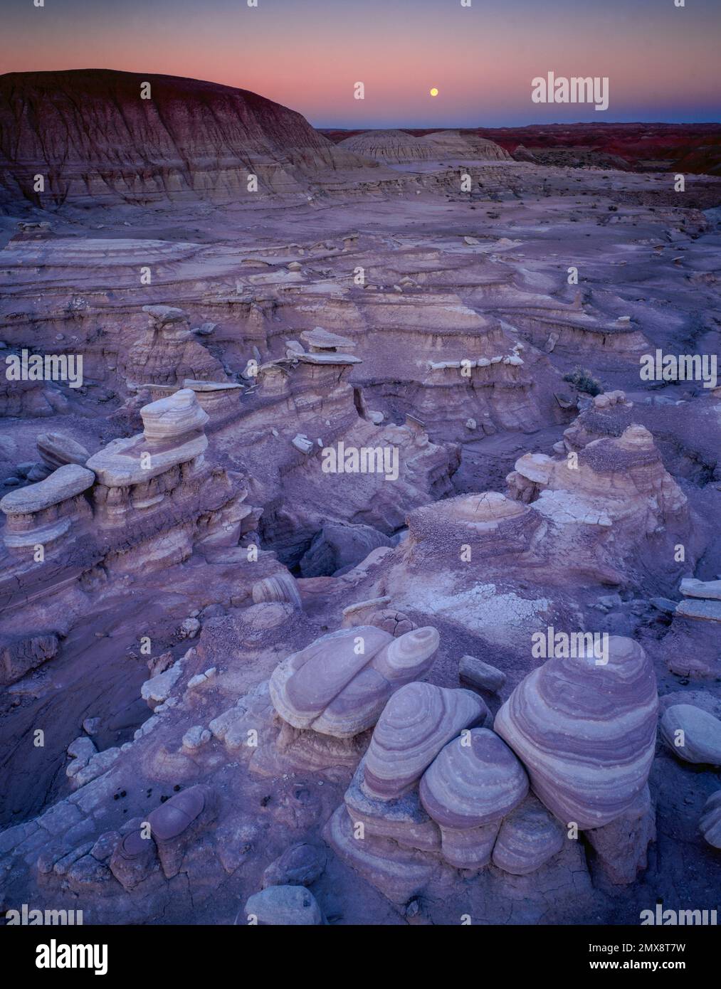 Moonset, Painted Desert, Petrified Forest National Park, Arizona Stockfotohttps://www.alamy.de/image-license-details/?v=1https://www.alamy.de/moonset-painted-desert-petrified-forest-national-park-arizona-image515276381.html
RM2MX8T7W–Moonset, Painted Desert, Petrified Forest National Park, Arizona
 Natur des Arches National Park Stockfotohttps://www.alamy.de/image-license-details/?v=1https://www.alamy.de/natur-des-arches-national-park-image388514920.html
RF2DG2AMT–Natur des Arches National Park
 Reisen USA-Landschaften Stockfotohttps://www.alamy.de/image-license-details/?v=1https://www.alamy.de/stockfoto-reisen-usa-landschaften-115101966.html
RFGK79ME–Reisen USA-Landschaften
 Der Zion National Park liegt im Südwesten von Utah an der Grenze zu Arizona. Es hat eine Fläche von 579 kö² und liegt zwischen 1128 m und 2660 m Höhe. Landschaft am Pa'rus Trail. Stockfotohttps://www.alamy.de/image-license-details/?v=1https://www.alamy.de/der-zion-national-park-liegt-im-sudwesten-von-utah-an-der-grenze-zu-arizona-es-hat-eine-flache-von-579-ko-und-liegt-zwischen-1128-m-und-2660-m-hohe-landschaft-am-parus-trail-image481966490.html
RM2K03D4X–Der Zion National Park liegt im Südwesten von Utah an der Grenze zu Arizona. Es hat eine Fläche von 579 kö² und liegt zwischen 1128 m und 2660 m Höhe. Landschaft am Pa'rus Trail.
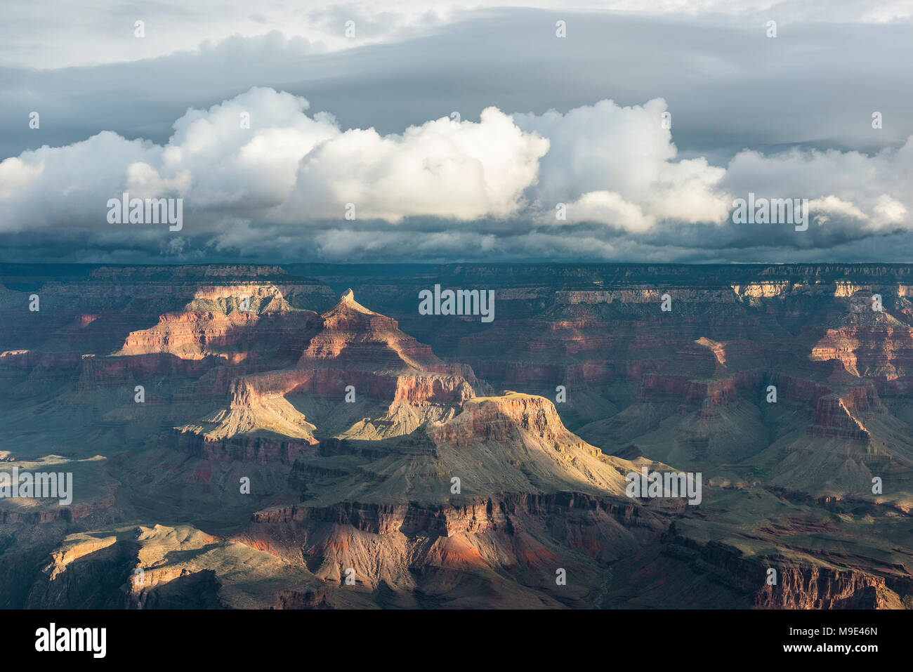 Morgen Wolken, Yavapai Point, Grand Canyon NP, AZ, USA, Mitte September, von Dominique Braud/Dembinsky Foto Assoc Stockfotohttps://www.alamy.de/image-license-details/?v=1https://www.alamy.de/morgen-wolken-yavapai-point-grand-canyon-np-az-usa-mitte-september-von-dominique-brauddembinsky-foto-assoc-image177946237.html
RMM9E46N–Morgen Wolken, Yavapai Point, Grand Canyon NP, AZ, USA, Mitte September, von Dominique Braud/Dembinsky Foto Assoc