San pitch berge Stockfotos & Bilder
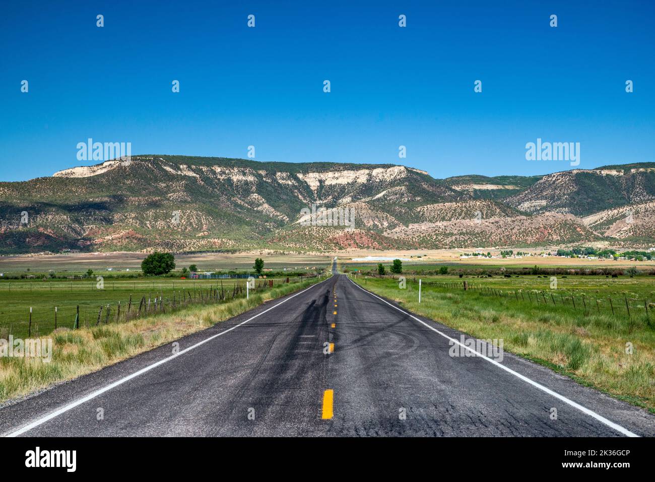 San Pitch Mountains, Blick von Utah 117, Sanpete Valley, in der Nähe der Stadt Wales, Utah, USA Stockfotohttps://www.alamy.de/image-license-details/?v=1https://www.alamy.de/san-pitch-mountains-blick-von-utah-117-sanpete-valley-in-der-nahe-der-stadt-wales-utah-usa-image483878886.html
RF2K36GCP–San Pitch Mountains, Blick von Utah 117, Sanpete Valley, in der Nähe der Stadt Wales, Utah, USA
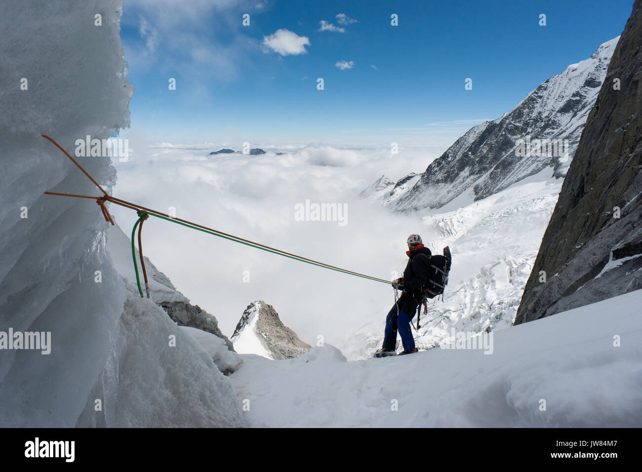 Ansicht der Rückseite des Alpinisten nach unten Abseilen in San Lian Südosten. Am frühen Morgen in den Minya Konka massiv, daxue in westlichen Sichuan in der Nähe von Tibet. China. Asien Stockfotohttps://www.alamy.de/image-license-details/?v=1https://www.alamy.de/ansicht-der-ruckseite-des-alpinisten-nach-unten-abseilen-in-san-lian-sudosten-am-fruhen-morgen-in-den-minya-konka-massiv-daxue-in-westlichen-sichuan-in-der-nahe-von-tibet-china-asien-image153228663.html
RFJW84M7–Ansicht der Rückseite des Alpinisten nach unten Abseilen in San Lian Südosten. Am frühen Morgen in den Minya Konka massiv, daxue in westlichen Sichuan in der Nähe von Tibet. China. Asien
 Nordamerika, Karibik, Großantillen, Hispaniola Island, Dominikanische Republik, Im zentralen Cordillera, Parque Nacional Armando Bermúdez, schlagen Wanderer ihre Zelte im Hochtal Valle del Tetero auf Stockfotohttps://www.alamy.de/image-license-details/?v=1https://www.alamy.de/nordamerika-karibik-grossantillen-hispaniola-island-dominikanische-republik-im-zentralen-cordillera-parque-nacional-armando-bermdez-schlagen-wanderer-ihre-zelte-im-hochtal-valle-del-tetero-auf-image490763144.html
RM2KEC5B4–Nordamerika, Karibik, Großantillen, Hispaniola Island, Dominikanische Republik, Im zentralen Cordillera, Parque Nacional Armando Bermúdez, schlagen Wanderer ihre Zelte im Hochtal Valle del Tetero auf
 Fußballfeld in Busto de Bureba. Berge von Parque Natural de los Montes Obarenes im Hintergrund, Provinz Burgos, Spanien Stockfotohttps://www.alamy.de/image-license-details/?v=1https://www.alamy.de/fussballfeld-in-busto-de-bureba-berge-von-parque-natural-de-los-montes-obarenes-im-hintergrund-provinz-burgos-spanien-image267405024.html
RFWF19RC–Fußballfeld in Busto de Bureba. Berge von Parque Natural de los Montes Obarenes im Hintergrund, Provinz Burgos, Spanien
 Landschaft bei Spilimbergo, Provinz Udine, Italien, von der Panoramaterrasse aus gesehen. Die historische Stadt San Daniele del Friuli ist im Hintergrund rechts Stockfotohttps://www.alamy.de/image-license-details/?v=1https://www.alamy.de/landschaft-bei-spilimbergo-provinz-udine-italien-von-der-panoramaterrasse-aus-gesehen-die-historische-stadt-san-daniele-del-friuli-ist-im-hintergrund-rechts-image361625103.html
RF2C09CE7–Landschaft bei Spilimbergo, Provinz Udine, Italien, von der Panoramaterrasse aus gesehen. Die historische Stadt San Daniele del Friuli ist im Hintergrund rechts
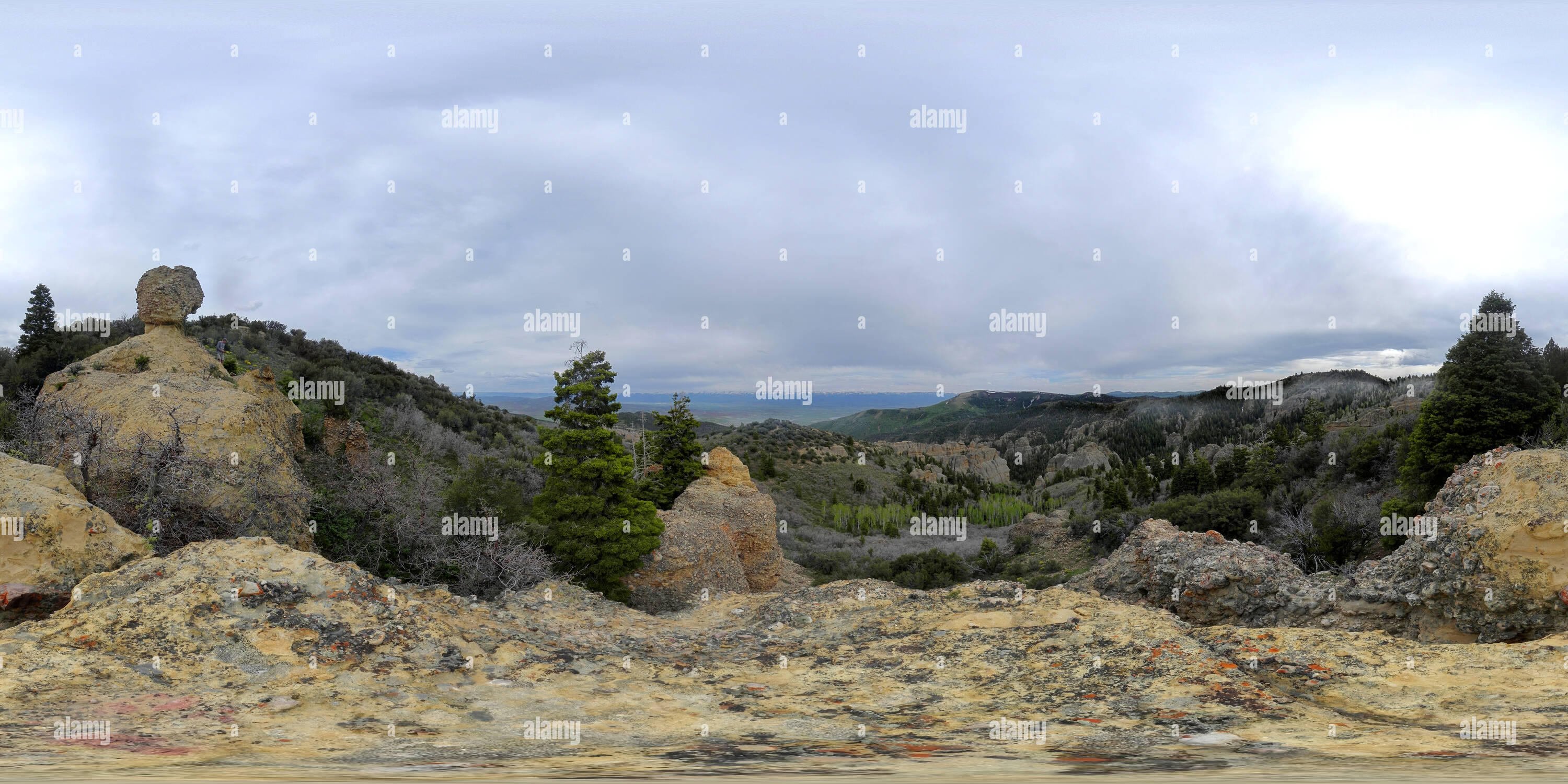 360 Grad Panorama Ansicht von Ahorn Canyon, San Pitch Berge, Utah, USAhttps://www.alamy.de/image-license-details/?v=1https://www.alamy.de/360-grad-panoramablick-auf-ahorn-canyon-san-pitch-berge-utah-usa-image219339587.html
RF360°PMRNTK–Ahorn Canyon, San Pitch Berge, Utah, USA
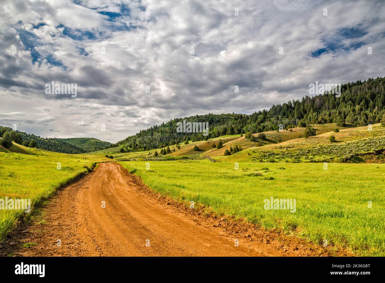 Rees Valley, Chicken Creek Road, FR 101, San Pitch Mountains, Uinta National Forest, Utah, USA Stockfotohttps://www.alamy.de/image-license-details/?v=1https://www.alamy.de/rees-valley-chicken-creek-road-fr-101-san-pitch-mountains-uinta-national-forest-utah-usa-image483878776.html
RF2K36G8T–Rees Valley, Chicken Creek Road, FR 101, San Pitch Mountains, Uinta National Forest, Utah, USA
 Fußballfeld in Busto de Bureba. Berge von Parque Natural de los Montes Obarenes im Hintergrund, Provinz Burgos, Spanien Stockfotohttps://www.alamy.de/image-license-details/?v=1https://www.alamy.de/fussballfeld-in-busto-de-bureba-berge-von-parque-natural-de-los-montes-obarenes-im-hintergrund-provinz-burgos-spanien-image267405090.html
RFWF19WP–Fußballfeld in Busto de Bureba. Berge von Parque Natural de los Montes Obarenes im Hintergrund, Provinz Burgos, Spanien
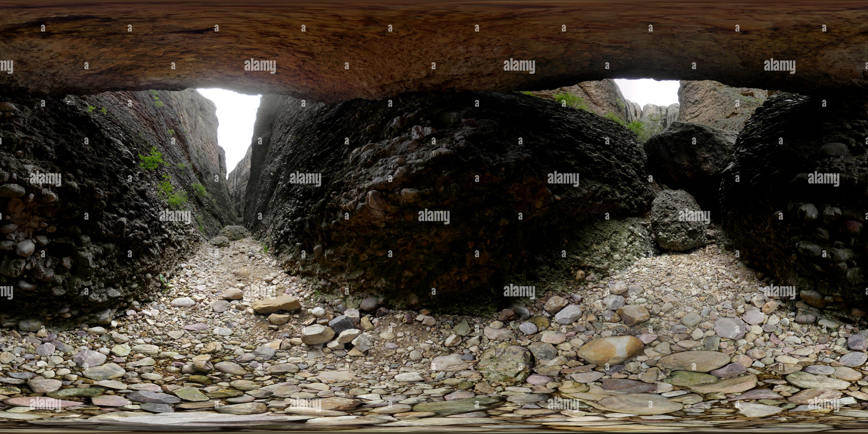 360 Grad Panorama Ansicht von Box Canyon, San Pitch Berge, Utah, USAhttps://www.alamy.de/image-license-details/?v=1https://www.alamy.de/360-grad-panoramablick-auf-box-canyon-san-pitch-berge-utah-usa-image219339585.html
RF360°PMRNTH–Box Canyon, San Pitch Berge, Utah, USA
 Conglomerate Rocks, Reddick Canyon, Chicken Creek Road, FR 101, San Pitch Mountains, Uinta National Forest, Utah, USA Stockfotohttps://www.alamy.de/image-license-details/?v=1https://www.alamy.de/conglomerate-rocks-reddick-canyon-chicken-creek-road-fr-101-san-pitch-mountains-uinta-national-forest-utah-usa-image483878697.html
RF2K36G61–Conglomerate Rocks, Reddick Canyon, Chicken Creek Road, FR 101, San Pitch Mountains, Uinta National Forest, Utah, USA
 Fußballfeld in Busto de Bureba. Berge von Parque Natural de los Montes Obarenes im Hintergrund, Provinz Burgos, Spanien Stockfotohttps://www.alamy.de/image-license-details/?v=1https://www.alamy.de/fussballfeld-in-busto-de-bureba-berge-von-parque-natural-de-los-montes-obarenes-im-hintergrund-provinz-burgos-spanien-image267405233.html
RFWF1A2W–Fußballfeld in Busto de Bureba. Berge von Parque Natural de los Montes Obarenes im Hintergrund, Provinz Burgos, Spanien
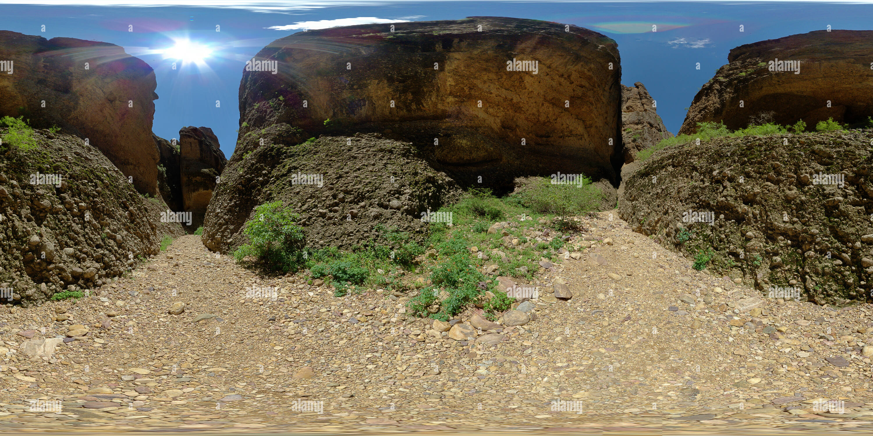 360 Grad Panorama Ansicht von Box Canyon, San Pitch Berge, Utah, USAhttps://www.alamy.de/image-license-details/?v=1https://www.alamy.de/360-grad-panoramablick-auf-box-canyon-san-pitch-berge-utah-usa-image219339588.html
RF360°PMRNTM–Box Canyon, San Pitch Berge, Utah, USA
 Conglomerate Rocks, Reddick Canyon, Chicken Creek Road, FR 101, San Pitch Mountains, Uinta National Forest, Utah, USA Stockfotohttps://www.alamy.de/image-license-details/?v=1https://www.alamy.de/conglomerate-rocks-reddick-canyon-chicken-creek-road-fr-101-san-pitch-mountains-uinta-national-forest-utah-usa-image483878654.html
RF2K36G4E–Conglomerate Rocks, Reddick Canyon, Chicken Creek Road, FR 101, San Pitch Mountains, Uinta National Forest, Utah, USA
 Fußballfeld in Busto de Bureba. Berge von Parque Natural de los Montes Obarenes im Hintergrund, Provinz Burgos, Spanien Stockfotohttps://www.alamy.de/image-license-details/?v=1https://www.alamy.de/fussballfeld-in-busto-de-bureba-berge-von-parque-natural-de-los-montes-obarenes-im-hintergrund-provinz-burgos-spanien-image267405312.html
RFWF1A5M–Fußballfeld in Busto de Bureba. Berge von Parque Natural de los Montes Obarenes im Hintergrund, Provinz Burgos, Spanien
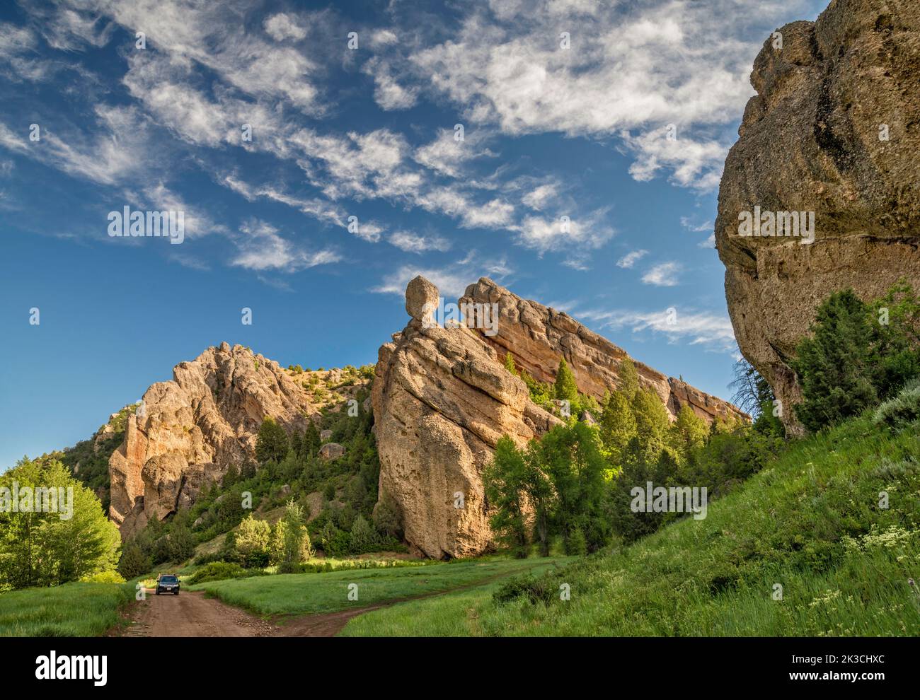 Conglomerate Rocks, Reddick Canyon, Chicken Creek Road, FR 101, San Pitch Mountains, Uinta National Forest, Utah, USA Stockfotohttps://www.alamy.de/image-license-details/?v=1https://www.alamy.de/conglomerate-rocks-reddick-canyon-chicken-creek-road-fr-101-san-pitch-mountains-uinta-national-forest-utah-usa-image484011764.html
RF2K3CHXC–Conglomerate Rocks, Reddick Canyon, Chicken Creek Road, FR 101, San Pitch Mountains, Uinta National Forest, Utah, USA
 Fußballfeld in Busto de Bureba. Berge von Parque Natural de los Montes Obarenes im Hintergrund, Provinz Burgos, Spanien Stockfotohttps://www.alamy.de/image-license-details/?v=1https://www.alamy.de/fussballfeld-in-busto-de-bureba-berge-von-parque-natural-de-los-montes-obarenes-im-hintergrund-provinz-burgos-spanien-image267405159.html
RFWF1A07–Fußballfeld in Busto de Bureba. Berge von Parque Natural de los Montes Obarenes im Hintergrund, Provinz Burgos, Spanien
 Conglomerate Rocks, Reddick Canyon, Chicken Creek Road, FR 101, San Pitch Mountains, Uinta National Forest, Utah, USA Stockfotohttps://www.alamy.de/image-license-details/?v=1https://www.alamy.de/conglomerate-rocks-reddick-canyon-chicken-creek-road-fr-101-san-pitch-mountains-uinta-national-forest-utah-usa-image483878669.html
RF2K36G51–Conglomerate Rocks, Reddick Canyon, Chicken Creek Road, FR 101, San Pitch Mountains, Uinta National Forest, Utah, USA
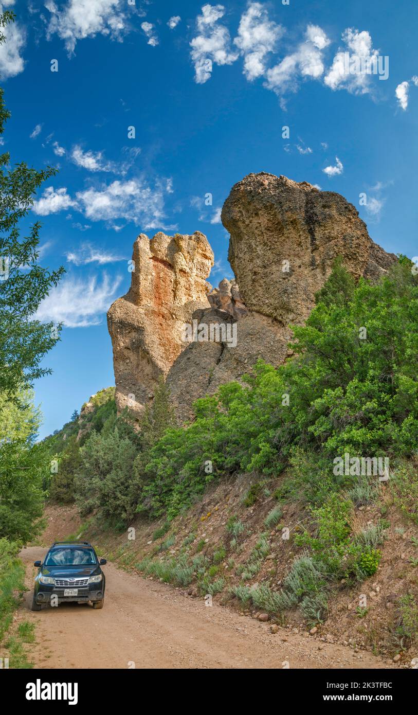 Conglomerate Rocks, Reddick Canyon, Chicken Creek Road, FR 101, San Pitch Mountains, Uinta National Forest, Utah, USA Stockfotohttps://www.alamy.de/image-license-details/?v=1https://www.alamy.de/conglomerate-rocks-reddick-canyon-chicken-creek-road-fr-101-san-pitch-mountains-uinta-national-forest-utah-usa-image484273200.html
RF2K3TFBC–Conglomerate Rocks, Reddick Canyon, Chicken Creek Road, FR 101, San Pitch Mountains, Uinta National Forest, Utah, USA
 Conglomerate Rocks, Reddick Canyon, Chicken Creek Road, FR 101, San Pitch Mountains, Uinta National Forest, Utah, USA Stockfotohttps://www.alamy.de/image-license-details/?v=1https://www.alamy.de/conglomerate-rocks-reddick-canyon-chicken-creek-road-fr-101-san-pitch-mountains-uinta-national-forest-utah-usa-image483878728.html
RF2K36G74–Conglomerate Rocks, Reddick Canyon, Chicken Creek Road, FR 101, San Pitch Mountains, Uinta National Forest, Utah, USA
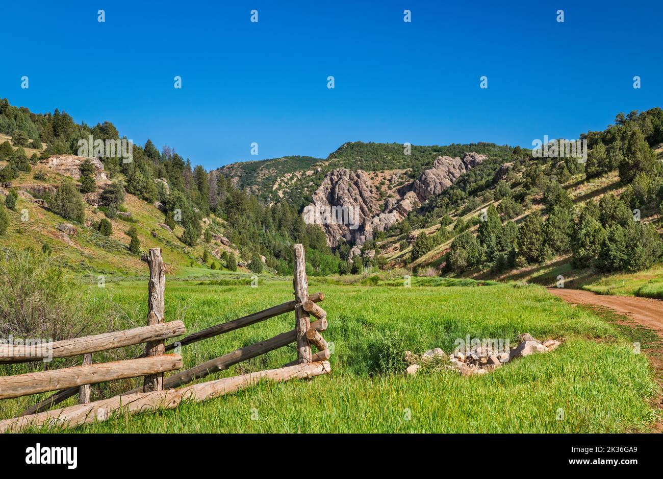 Rees Valley, Reddick Canyon in der Ferne, Chicken Creek Road, FR 101, San Pitch Mountains, Uinta National Forest, Utah, USA Stockfotohttps://www.alamy.de/image-license-details/?v=1https://www.alamy.de/rees-valley-reddick-canyon-in-der-ferne-chicken-creek-road-fr-101-san-pitch-mountains-uinta-national-forest-utah-usa-image483878817.html
RF2K36GA9–Rees Valley, Reddick Canyon in der Ferne, Chicken Creek Road, FR 101, San Pitch Mountains, Uinta National Forest, Utah, USA
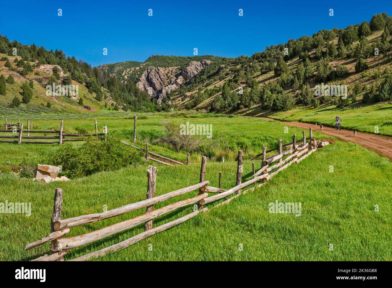 Rees Valley, Reddick Canyon in der Ferne, Chicken Creek Road, FR 101, San Pitch Mountains, Uinta National Forest, Utah, USA Stockfotohttps://www.alamy.de/image-license-details/?v=1https://www.alamy.de/rees-valley-reddick-canyon-in-der-ferne-chicken-creek-road-fr-101-san-pitch-mountains-uinta-national-forest-utah-usa-image483878844.html
RF2K36GB8–Rees Valley, Reddick Canyon in der Ferne, Chicken Creek Road, FR 101, San Pitch Mountains, Uinta National Forest, Utah, USA
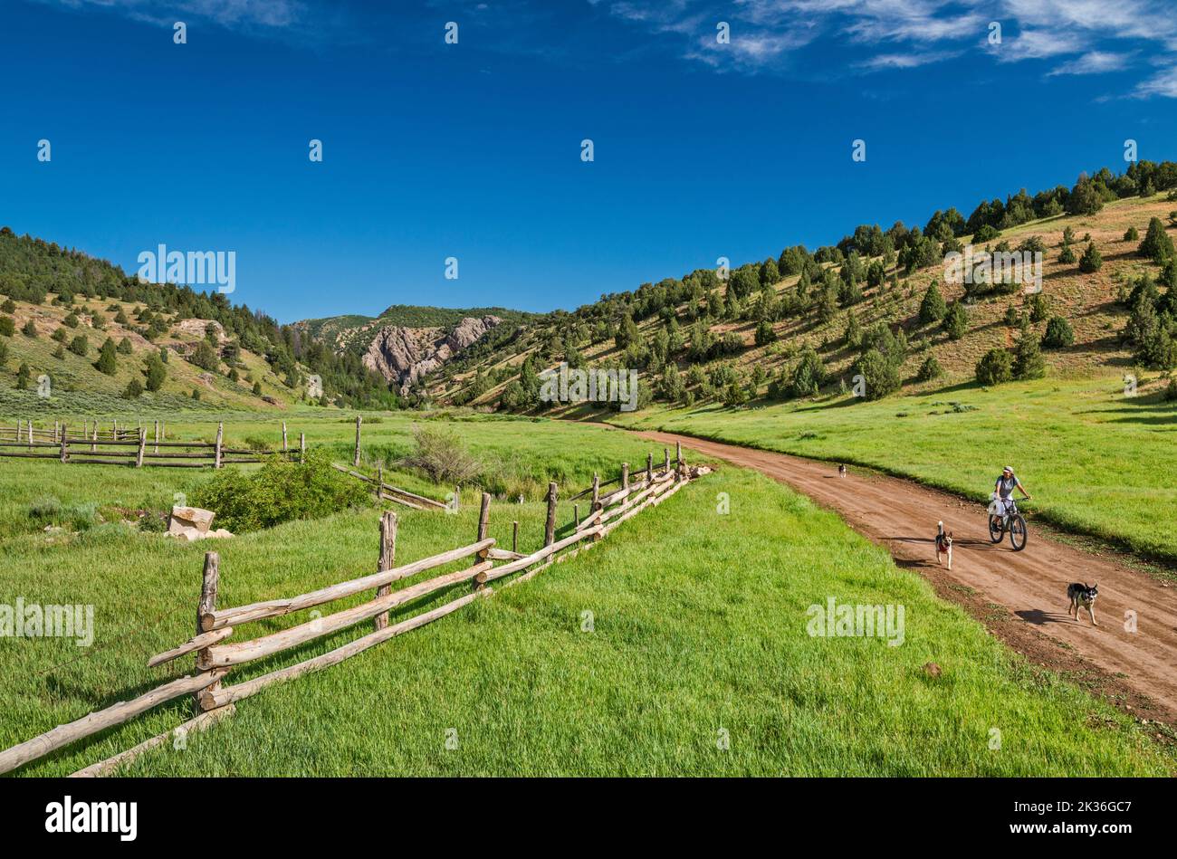 Junge Frau mit ihren drei Hunden, Rees Valley, Chicken Creek Road, FR 101, San Pitch Mountains, Uinta National Forest, Utah, USA Stockfotohttps://www.alamy.de/image-license-details/?v=1https://www.alamy.de/junge-frau-mit-ihren-drei-hunden-rees-valley-chicken-creek-road-fr-101-san-pitch-mountains-uinta-national-forest-utah-usa-image483878871.html
RF2K36GC7–Junge Frau mit ihren drei Hunden, Rees Valley, Chicken Creek Road, FR 101, San Pitch Mountains, Uinta National Forest, Utah, USA
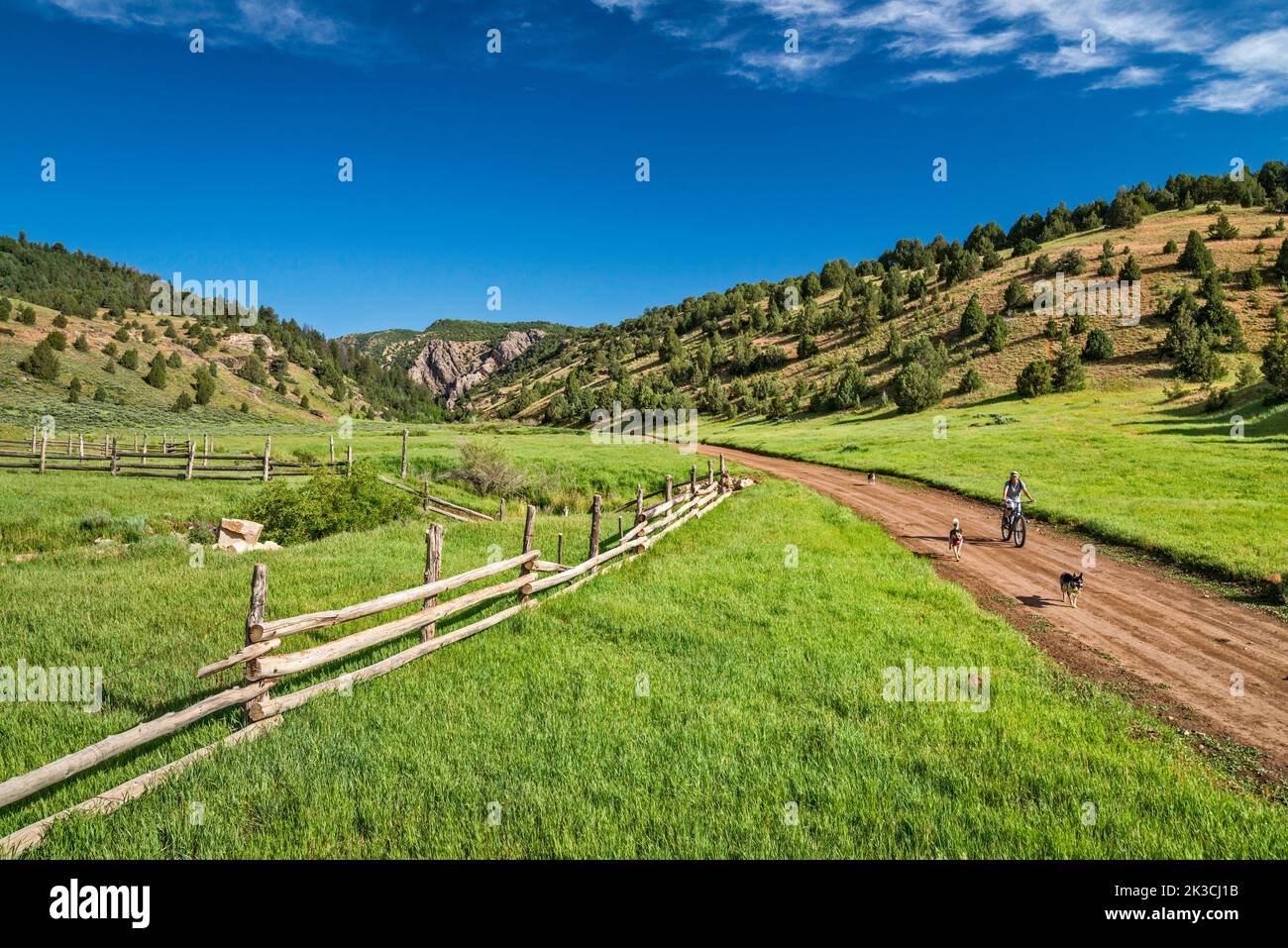 Junge Frau mit ihren drei Hunden, Rees Valley, Chicken Creek Road, FR 101, San Pitch Mountains, Uinta National Forest, Utah, USA Stockfotohttps://www.alamy.de/image-license-details/?v=1https://www.alamy.de/junge-frau-mit-ihren-drei-hunden-rees-valley-chicken-creek-road-fr-101-san-pitch-mountains-uinta-national-forest-utah-usa-image484011847.html
RF2K3CJ1B–Junge Frau mit ihren drei Hunden, Rees Valley, Chicken Creek Road, FR 101, San Pitch Mountains, Uinta National Forest, Utah, USA
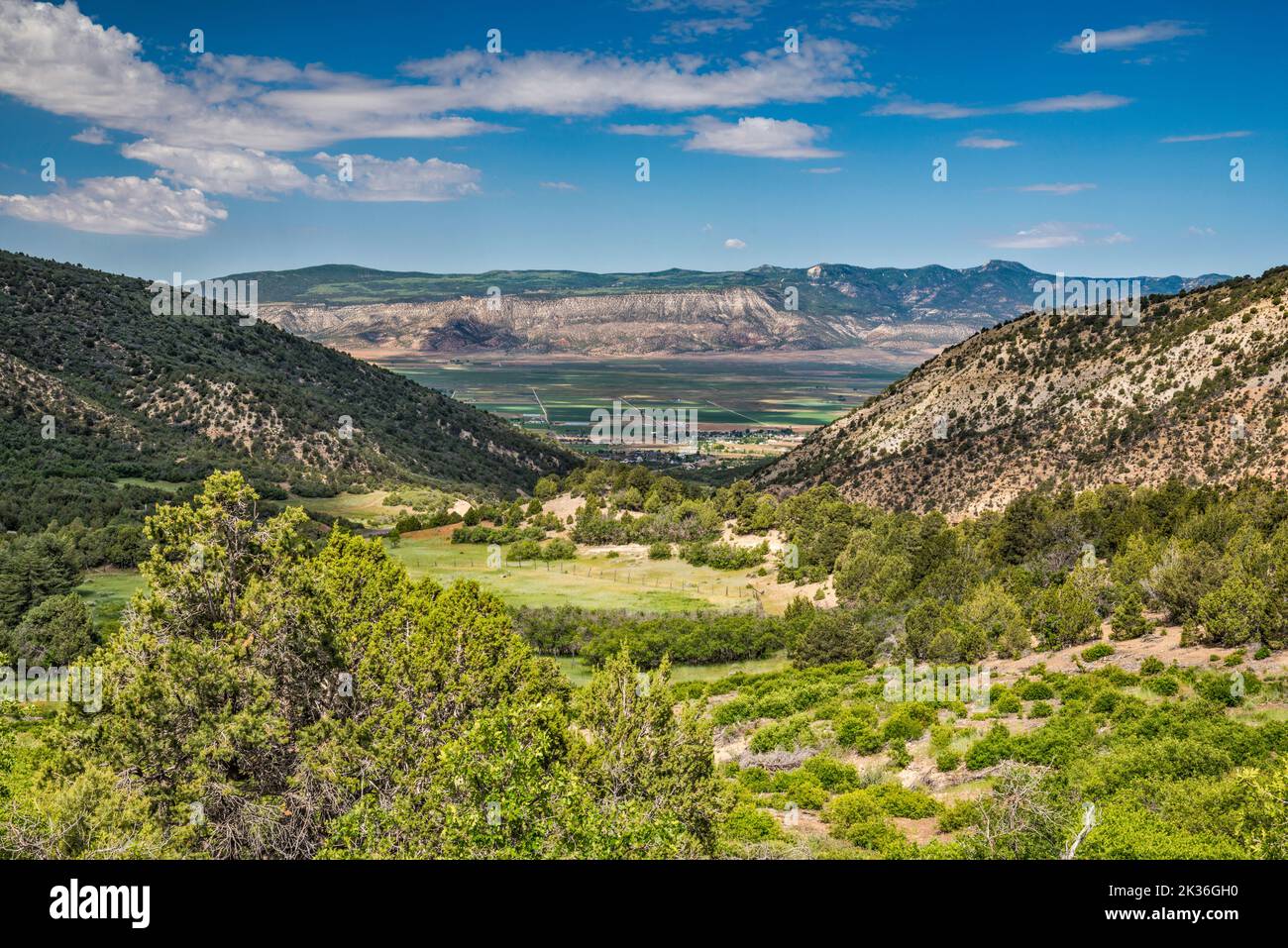 Ephraim Canyon am Rand des Wasatch Plateau, Blick auf die San Pitch Mountains im Sanpete Valley, Stadt Ephraim, Utah, USA Stockfotohttps://www.alamy.de/image-license-details/?v=1https://www.alamy.de/ephraim-canyon-am-rand-des-wasatch-plateau-blick-auf-die-san-pitch-mountains-im-sanpete-valley-stadt-ephraim-utah-usa-image483879004.html
RF2K36GH0–Ephraim Canyon am Rand des Wasatch Plateau, Blick auf die San Pitch Mountains im Sanpete Valley, Stadt Ephraim, Utah, USA
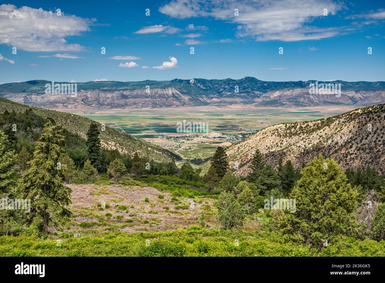 Ephraim Canyon am Rand des Wasatch Plateau, Blick auf die San Pitch Mountains im Sanpete Valley, Stadt Ephraim, Utah, USA Stockfotohttps://www.alamy.de/image-license-details/?v=1https://www.alamy.de/ephraim-canyon-am-rand-des-wasatch-plateau-blick-auf-die-san-pitch-mountains-im-sanpete-valley-stadt-ephraim-utah-usa-image483879065.html
RF2K36GK5–Ephraim Canyon am Rand des Wasatch Plateau, Blick auf die San Pitch Mountains im Sanpete Valley, Stadt Ephraim, Utah, USA