Schnellfilter:
Sally lücke Stockfotos & Bilder
 Lough Tay in der Nähe von Ballyhorrigan, unter Luggala Berg, in der Nähe von Sally Gap, Nationalpark County Wicklow, Irland Stockfotohttps://www.alamy.de/image-license-details/?v=1https://www.alamy.de/stockfoto-lough-tay-in-der-nahe-von-ballyhorrigan-unter-luggala-berg-in-der-nahe-von-sally-gap-nationalpark-county-wicklow-irland-57517440.html
RMD9G428–Lough Tay in der Nähe von Ballyhorrigan, unter Luggala Berg, in der Nähe von Sally Gap, Nationalpark County Wicklow, Irland
 Windgepeitschter Baum in der Nähe von Sally Gap, Wicklow Mountains, Irland Stockfotohttps://www.alamy.de/image-license-details/?v=1https://www.alamy.de/windgepeitschter-baum-in-der-nahe-von-sally-gap-wicklow-mountains-irland-image553718863.html
RF2R4T21K–Windgepeitschter Baum in der Nähe von Sally Gap, Wicklow Mountains, Irland
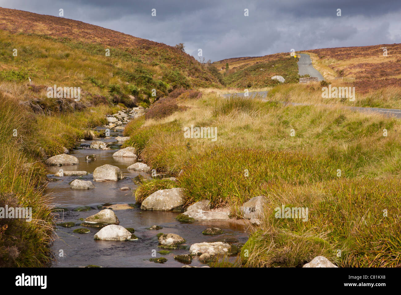 Irland, Co. Wicklow, Sally Gap, Stream auf Bergpass Stockfotohttps://www.alamy.de/image-license-details/?v=1https://www.alamy.de/stockfoto-irland-co-wicklow-sally-gap-stream-auf-bergpass-39375568.html
RMC81KX8–Irland, Co. Wicklow, Sally Gap, Stream auf Bergpass
 Panoramastraße in Sally Gap, Dublin Mountains, Irland Stockfotohttps://www.alamy.de/image-license-details/?v=1https://www.alamy.de/stockfoto-panoramastrasse-in-sally-gap-dublin-mountains-irland-27418344.html
RFBGH0AG–Panoramastraße in Sally Gap, Dublin Mountains, Irland
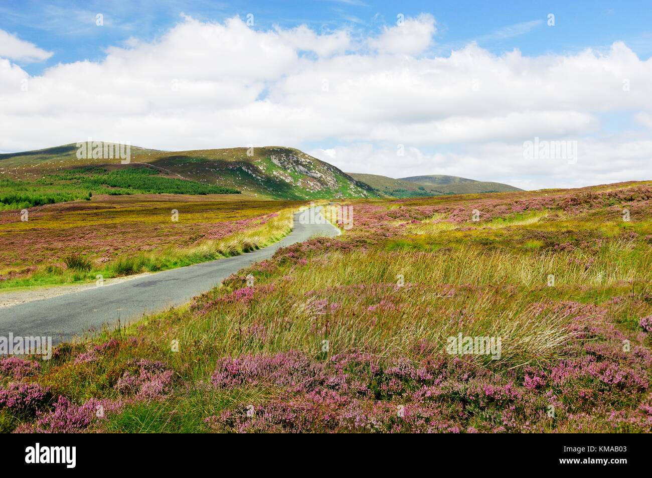 Wicklow Mountains Hügel. Ruhige einsame offen Bergstraße 5 Meilen NW von Laragh Sally Gap aus. County Wicklow, Irland. Stockfotohttps://www.alamy.de/image-license-details/?v=1https://www.alamy.de/stockfoto-wicklow-mountains-hugel-ruhige-einsame-offen-bergstrasse-5-meilen-nw-von-laragh-sally-gap-aus-county-wicklow-irland-167414579.html
RMKMAB03–Wicklow Mountains Hügel. Ruhige einsame offen Bergstraße 5 Meilen NW von Laragh Sally Gap aus. County Wicklow, Irland.
 Sally Lücke schöne Landschaft im ländlichen Irland Stockfotohttps://www.alamy.de/image-license-details/?v=1https://www.alamy.de/stockfoto-sally-lucke-schone-landschaft-im-landlichen-irland-48941124.html
RFCRHCW8–Sally Lücke schöne Landschaft im ländlichen Irland
 Moorlandschaft Anfang Juni in der Nähe von Sally Gap, WIcklow Mountains, County Wicklow, Ireland Stockfotohttps://www.alamy.de/image-license-details/?v=1https://www.alamy.de/moorlandschaft-anfang-juni-in-der-nahe-von-sally-gap-wicklow-mountains-county-wicklow-ireland-image65836997.html
RMDR33N9–Moorlandschaft Anfang Juni in der Nähe von Sally Gap, WIcklow Mountains, County Wicklow, Ireland
 Bunte Flora bei Sally Gap, County Wicklow, Irland gesehen. Stockfotohttps://www.alamy.de/image-license-details/?v=1https://www.alamy.de/bunte-flora-bei-sally-gap-county-wicklow-irland-gesehen-image222331361.html
RMPWM1WN–Bunte Flora bei Sally Gap, County Wicklow, Irland gesehen.
 Kreuzung der R759 und R115 und die alte Militärstraße an Sally Gap in die Wicklow Mountains, Irland. Stockfotohttps://www.alamy.de/image-license-details/?v=1https://www.alamy.de/stockfoto-kreuzung-der-r759-und-r115-und-die-alte-militarstrasse-an-sally-gap-in-die-wicklow-mountains-irland-72125687.html
RME59H1B–Kreuzung der R759 und R115 und die alte Militärstraße an Sally Gap in die Wicklow Mountains, Irland.
 Liffey River am Sally Gap. Wicklow, Irland Stockfotohttps://www.alamy.de/image-license-details/?v=1https://www.alamy.de/stockfoto-liffey-river-am-sally-gap-wicklow-irland-25502261.html
RMBDDMB1–Liffey River am Sally Gap. Wicklow, Irland
 Moorlandschaft Anfang Juni in der Nähe von Sally Gap, WIcklow Mountains, County Wicklow, Ireland Stockfotohttps://www.alamy.de/image-license-details/?v=1https://www.alamy.de/stockfoto-moorlandschaft-anfang-juni-in-der-nahe-von-sally-gap-wicklow-mountains-county-wicklow-ireland-73101834.html
RME6X23P–Moorlandschaft Anfang Juni in der Nähe von Sally Gap, WIcklow Mountains, County Wicklow, Ireland
 Irland County Wicklow Mountains Sally Gap Straßenschild in Gälisch und Englisch Stockfotohttps://www.alamy.de/image-license-details/?v=1https://www.alamy.de/stockfoto-irland-county-wicklow-mountains-sally-gap-strassenschild-in-galisch-und-englisch-12779067.html
RMAB4YHG–Irland County Wicklow Mountains Sally Gap Straßenschild in Gälisch und Englisch
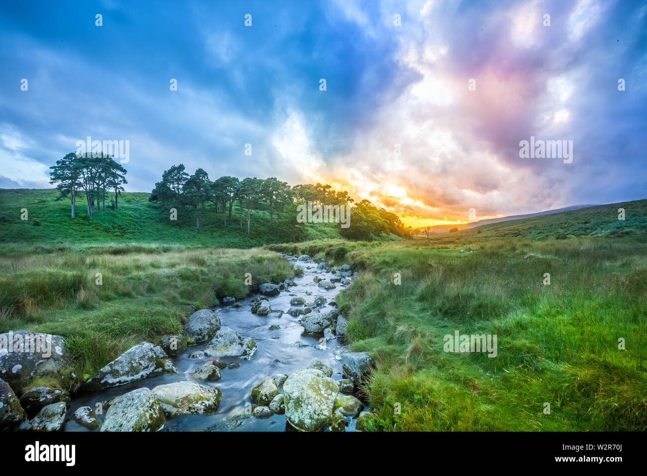 Wicklow Mountains / Irland: Spektakuläre Sonnenuntergangszeit in Wicklow Mountains in der Nähe von Sally Gap Stockfotohttps://www.alamy.de/image-license-details/?v=1https://www.alamy.de/wicklow-mountains-irland-spektakulare-sonnenuntergangszeit-in-wicklow-mountains-in-der-nahe-von-sally-gap-image259895234.html
RMW2R70J–Wicklow Mountains / Irland: Spektakuläre Sonnenuntergangszeit in Wicklow Mountains in der Nähe von Sally Gap
 1658 Wicklow Mountains LoughTay von Sally Gap Co Wicklow Republik von Irland Stockfotohttps://www.alamy.de/image-license-details/?v=1https://www.alamy.de/stockfoto-1658-wicklow-mountains-loughtay-von-sally-gap-co-wicklow-republik-von-irland-21059899.html
RMB67A37–1658 Wicklow Mountains LoughTay von Sally Gap Co Wicklow Republik von Irland
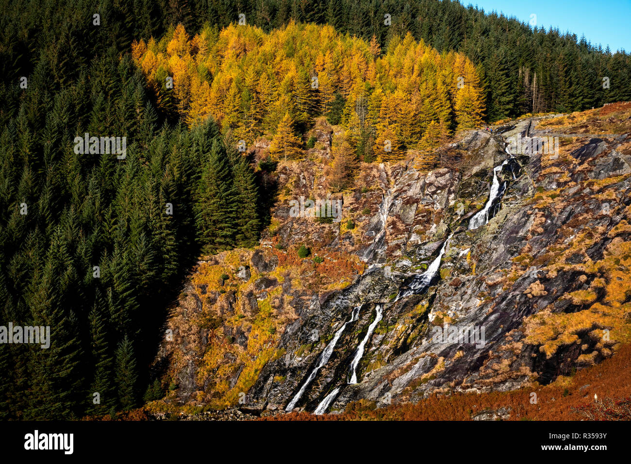 Herbst Blick auf Glenmacnass Wasserfall Stockfotohttps://www.alamy.de/image-license-details/?v=1https://www.alamy.de/herbst-blick-auf-glenmacnass-wasserfall-image225695679.html
RFR3593Y–Herbst Blick auf Glenmacnass Wasserfall
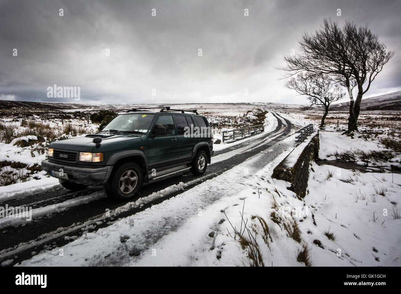 Four Wheel Drive Fahrzeug fährt durch winterlichen Bedingungen auf Land - Sally Gap, Wicklow, Irland Stockfotohttps://www.alamy.de/image-license-details/?v=1https://www.alamy.de/stockfoto-four-wheel-drive-fahrzeug-fahrt-durch-winterlichen-bedingungen-auf-land-sally-gap-wicklow-irland-114975521.html
RMGK1GCH–Four Wheel Drive Fahrzeug fährt durch winterlichen Bedingungen auf Land - Sally Gap, Wicklow, Irland
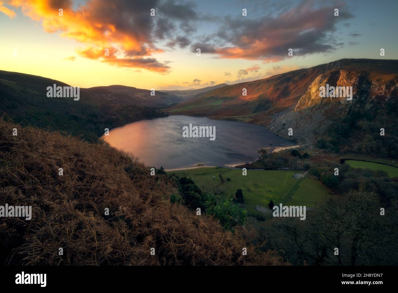 Lough Tay Sonnenaufgang (Guinness Seeblick) in Wicklow Mountains - Irland Stockfotohttps://www.alamy.de/image-license-details/?v=1https://www.alamy.de/lough-tay-sonnenaufgang-guinness-seeblick-in-wicklow-mountains-irland-image452990307.html
RM2H8YDN7–Lough Tay Sonnenaufgang (Guinness Seeblick) in Wicklow Mountains - Irland
 Die historische militärische Straße aufwärts durch die Wicklow Hochland in Richtung Sally Lücke in der Grafschaft Wicklow in Irland Stockfotohttps://www.alamy.de/image-license-details/?v=1https://www.alamy.de/stockfoto-die-historische-militarische-strasse-aufwarts-durch-die-wicklow-hochland-in-richtung-sally-lucke-in-der-grafschaft-wicklow-in-irland-170976828.html
RFKX4JK8–Die historische militärische Straße aufwärts durch die Wicklow Hochland in Richtung Sally Lücke in der Grafschaft Wicklow in Irland
 Wicklow Mountains Heide. Die baumlosen Bracken und Graslandschaft von den sanften Hügeln der Wicklows. Eine kleine Straße windet sich Stockfotohttps://www.alamy.de/image-license-details/?v=1https://www.alamy.de/stockfoto-wicklow-mountains-heide-die-baumlosen-bracken-und-graslandschaft-von-den-sanften-hugeln-der-wicklows-eine-kleine-strasse-windet-sich-23383700.html
RMBA1644–Wicklow Mountains Heide. Die baumlosen Bracken und Graslandschaft von den sanften Hügeln der Wicklows. Eine kleine Straße windet sich
 Lough Tay in der Nähe von Ballyhorrigan, unten Luggala Berg, in der Nähe von Sally Gap Nationalpark County Wicklow, Irland Stockfotohttps://www.alamy.de/image-license-details/?v=1https://www.alamy.de/stockfoto-lough-tay-in-der-nahe-von-ballyhorrigan-unten-luggala-berg-in-der-nahe-von-sally-gap-nationalpark-county-wicklow-irland-57516401.html
RMD9G2N5–Lough Tay in der Nähe von Ballyhorrigan, unten Luggala Berg, in der Nähe von Sally Gap Nationalpark County Wicklow, Irland
 Rückansicht eines einsamen Radfahrers in den Wicklow Mountains auf der Straße nach Sally Gap Stockfotohttps://www.alamy.de/image-license-details/?v=1https://www.alamy.de/ruckansicht-eines-einsamen-radfahrers-in-den-wicklow-mountains-auf-der-strasse-nach-sally-gap-image553718858.html
RF2R4T21E–Rückansicht eines einsamen Radfahrers in den Wicklow Mountains auf der Straße nach Sally Gap
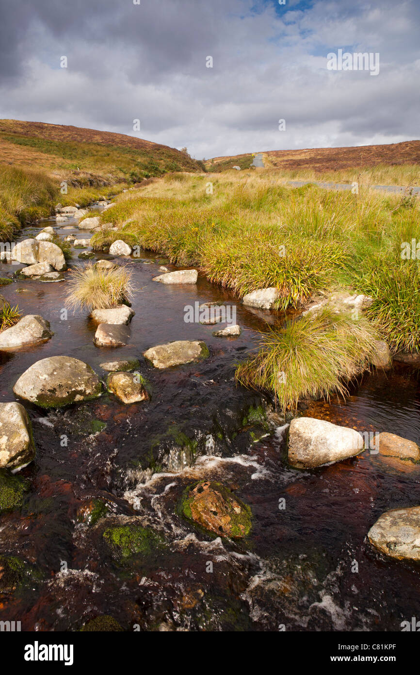 Irland, Co. Wicklow, Sally Gap Bergbach auf Bergpass Stockfotohttps://www.alamy.de/image-license-details/?v=1https://www.alamy.de/stockfoto-irland-co-wicklow-sally-gap-bergbach-auf-bergpass-39375463.html
RMC81KPF–Irland, Co. Wicklow, Sally Gap Bergbach auf Bergpass
 Sonnenstrahlen über Sally Gap Stockfotohttps://www.alamy.de/image-license-details/?v=1https://www.alamy.de/sonnenstrahlen-uber-sally-gap-image638898168.html
RF2S3C93M–Sonnenstrahlen über Sally Gap
 Irland - Sally Gap Road Stockfotohttps://www.alamy.de/image-license-details/?v=1https://www.alamy.de/irland-sally-gap-road-image613567645.html
RF2XJ6BP5–Irland - Sally Gap Road
 Eisbedeckte Sally Gap Stockfotohttps://www.alamy.de/image-license-details/?v=1https://www.alamy.de/eisbedeckte-sally-gap-image593466487.html
RF2WDEMFK–Eisbedeckte Sally Gap
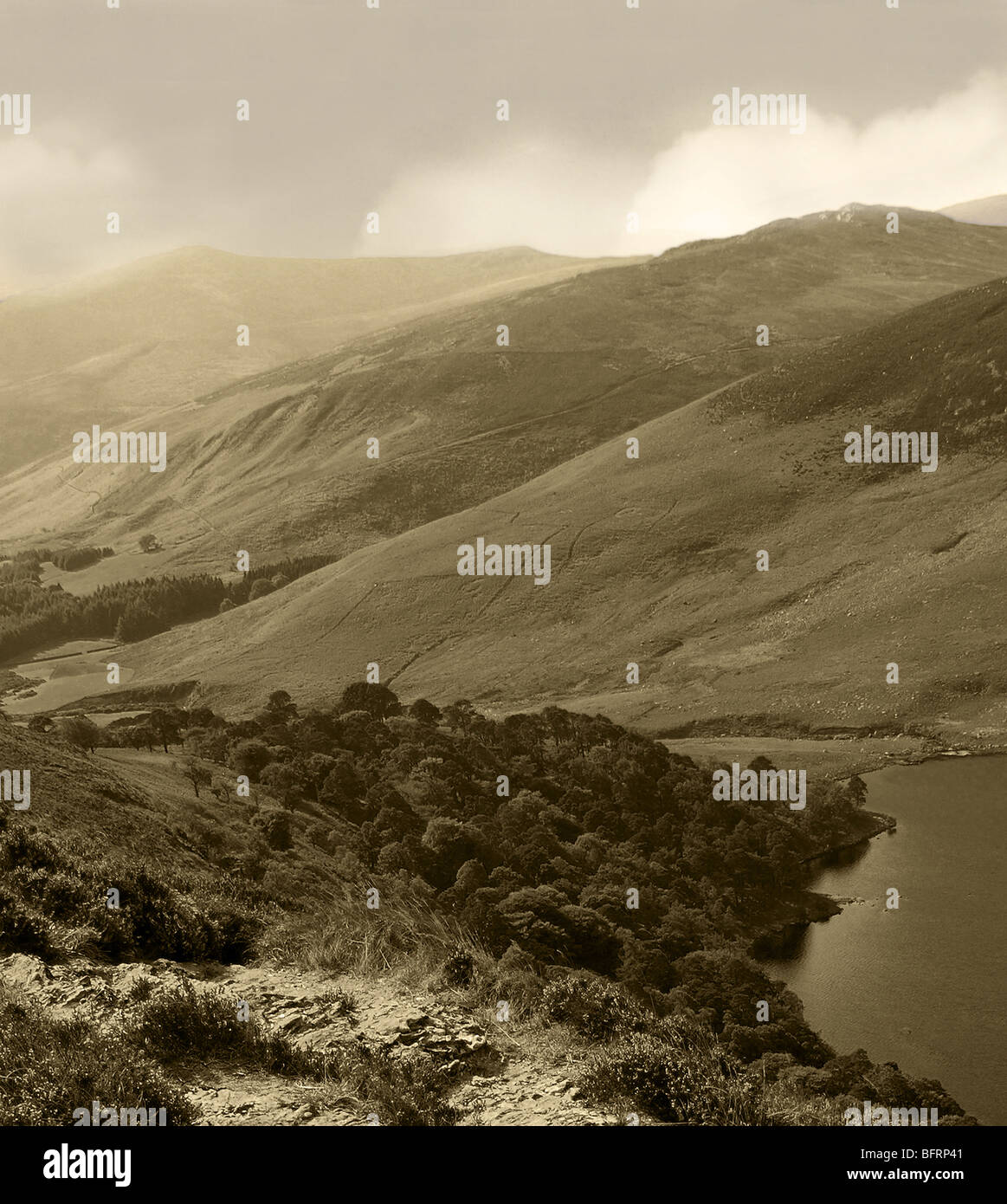 Landschaftsbild von Sally Gap, County Wicklow, Ireland Stockfotohttps://www.alamy.de/image-license-details/?v=1https://www.alamy.de/stockfoto-landschaftsbild-von-sally-gap-county-wicklow-ireland-26952465.html
RMBFRP41–Landschaftsbild von Sally Gap, County Wicklow, Ireland
 Bunte Flora bei Sally Gap, County Wicklow, Irland gesehen. Stockfotohttps://www.alamy.de/image-license-details/?v=1https://www.alamy.de/bunte-flora-bei-sally-gap-county-wicklow-irland-gesehen-image222331360.html
RMPWM1WM–Bunte Flora bei Sally Gap, County Wicklow, Irland gesehen.
 Kreuzung der R759 und R115 und die alte Militärstraße an Sally Gap in die Wicklow Mountains, Irland. Stockfotohttps://www.alamy.de/image-license-details/?v=1https://www.alamy.de/stockfoto-kreuzung-der-r759-und-r115-und-die-alte-militarstrasse-an-sally-gap-in-die-wicklow-mountains-irland-72125194.html
RME59GBP–Kreuzung der R759 und R115 und die alte Militärstraße an Sally Gap in die Wicklow Mountains, Irland.
 Liffey River am Sally Gap. Wicklow, Irland Stockfotohttps://www.alamy.de/image-license-details/?v=1https://www.alamy.de/stockfoto-liffey-river-am-sally-gap-wicklow-irland-25502621.html
RMBDDMRW–Liffey River am Sally Gap. Wicklow, Irland
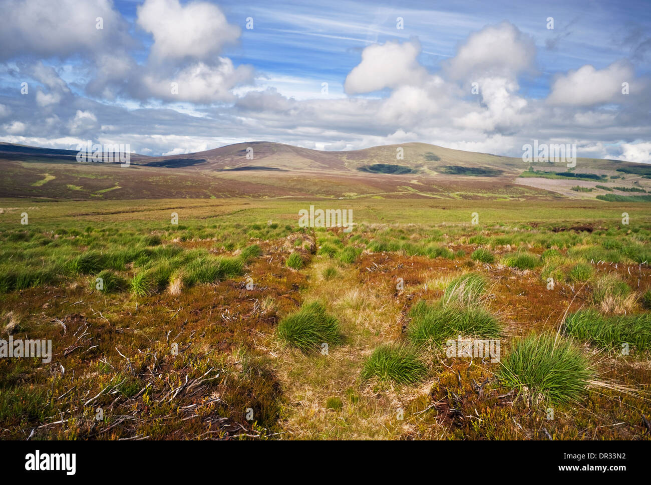 Moorlandschaft Anfang Juni in der Nähe von Sally Gap, WIcklow Mountains, County Wicklow, Ireland Stockfotohttps://www.alamy.de/image-license-details/?v=1https://www.alamy.de/moorlandschaft-anfang-juni-in-der-nahe-von-sally-gap-wicklow-mountains-county-wicklow-ireland-image65836990.html
RMDR33N2–Moorlandschaft Anfang Juni in der Nähe von Sally Gap, WIcklow Mountains, County Wicklow, Ireland
 Sally Gap, County Wicklow, Irland. Stockfotohttps://www.alamy.de/image-license-details/?v=1https://www.alamy.de/sally-gap-county-wicklow-irland-image228392748.html
RMR7G57T–Sally Gap, County Wicklow, Irland.
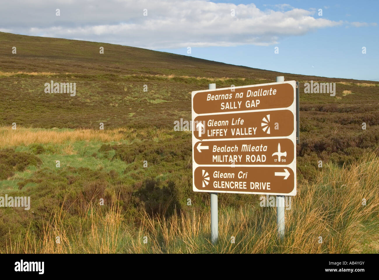 Irland County Wicklow Mountains Sally Gap Straßenschild in Gälisch und Englisch Stockfotohttps://www.alamy.de/image-license-details/?v=1https://www.alamy.de/stockfoto-irland-county-wicklow-mountains-sally-gap-strassenschild-in-galisch-und-englisch-12779066.html
RMAB4YGY–Irland County Wicklow Mountains Sally Gap Straßenschild in Gälisch und Englisch
 1662 Wicklow Mountains LoughTay von Sally Gap Co Wicklow Republik von Irland Stockfotohttps://www.alamy.de/image-license-details/?v=1https://www.alamy.de/stockfoto-1662-wicklow-mountains-loughtay-von-sally-gap-co-wicklow-republik-von-irland-21061031.html
RMB67BFK–1662 Wicklow Mountains LoughTay von Sally Gap Co Wicklow Republik von Irland
 Herbst Blick auf Glenmacnass Wasserfall Stockfotohttps://www.alamy.de/image-license-details/?v=1https://www.alamy.de/herbst-blick-auf-glenmacnass-wasserfall-image225695688.html
RFR35948–Herbst Blick auf Glenmacnass Wasserfall
 Ein Moos bedeckt Wald in der Grafschaft Wicklow, Irland. Stockfotohttps://www.alamy.de/image-license-details/?v=1https://www.alamy.de/ein-moos-bedeckt-wald-in-der-grafschaft-wicklow-irland-image220870535.html
RMPR9EHB–Ein Moos bedeckt Wald in der Grafschaft Wicklow, Irland.
 Schneestäubung bei Sally Gap Stockfotohttps://www.alamy.de/image-license-details/?v=1https://www.alamy.de/schneestaubung-bei-sally-gap-image593466319.html
RF2WDEM9K–Schneestäubung bei Sally Gap
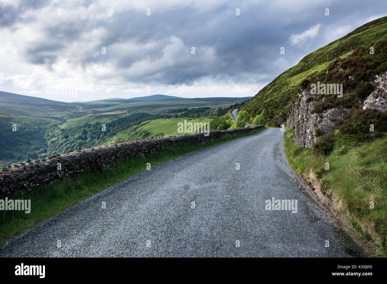 Die historische militärische Straße aufwärts durch die Wicklow Hochland in Richtung Sally Lücke in der Grafschaft Wicklow in Irland Stockfotohttps://www.alamy.de/image-license-details/?v=1https://www.alamy.de/stockfoto-die-historische-militarische-strasse-aufwarts-durch-die-wicklow-hochland-in-richtung-sally-lucke-in-der-grafschaft-wicklow-in-irland-170976820.html
RFKX4JK0–Die historische militärische Straße aufwärts durch die Wicklow Hochland in Richtung Sally Lücke in der Grafschaft Wicklow in Irland
 Irland, Co. Wicklow, Luggala, Lough Tay, Aussicht mit Blick auf das Luggala Anwesen und Sally Gap. Stockfotohttps://www.alamy.de/image-license-details/?v=1https://www.alamy.de/stockfoto-irland-co-wicklow-luggala-lough-tay-aussicht-mit-blick-auf-das-luggala-anwesen-und-sally-gap-40024453.html
RMC937GN–Irland, Co. Wicklow, Luggala, Lough Tay, Aussicht mit Blick auf das Luggala Anwesen und Sally Gap.
 Republik Irland, County Wicklow, Wicklow Mountains National Park, Sally Gap, Lough Tay Stockfotohttps://www.alamy.de/image-license-details/?v=1https://www.alamy.de/republik-irland-county-wicklow-wicklow-mountains-national-park-sally-gap-lough-tay-image607884977.html
RM2X8YFDN–Republik Irland, County Wicklow, Wicklow Mountains National Park, Sally Gap, Lough Tay
 Rückansicht eines einsamen Radfahrers in den Wicklow Mountains auf der Straße nach Sally Gap Stockfotohttps://www.alamy.de/image-license-details/?v=1https://www.alamy.de/ruckansicht-eines-einsamen-radfahrers-in-den-wicklow-mountains-auf-der-strasse-nach-sally-gap-image553718861.html
RF2R4T21H–Rückansicht eines einsamen Radfahrers in den Wicklow Mountains auf der Straße nach Sally Gap
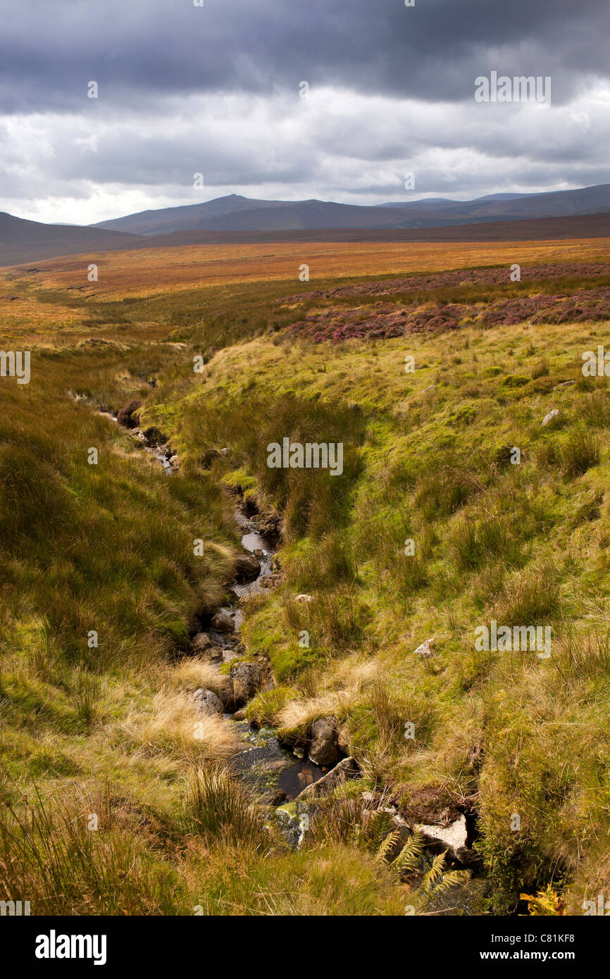 Irland, Co. Wicklow, Sally Gap Bergpass Stockfotohttps://www.alamy.de/image-license-details/?v=1https://www.alamy.de/stockfoto-irland-co-wicklow-sally-gap-bergpass-39375260.html
RMC81KF8–Irland, Co. Wicklow, Sally Gap Bergpass
 Eine Linie aus Metall Beiträge in der Wiese an der Straße, in der Nähe von Sally Gap in den Wicklow Mountains Irland EU Stockfotohttps://www.alamy.de/image-license-details/?v=1https://www.alamy.de/stockfoto-eine-linie-aus-metall-beitrage-in-der-wiese-an-der-strasse-in-der-nahe-von-sally-gap-in-den-wicklow-mountains-irland-eu-25718616.html
RMBDRGA0–Eine Linie aus Metall Beiträge in der Wiese an der Straße, in der Nähe von Sally Gap in den Wicklow Mountains Irland EU
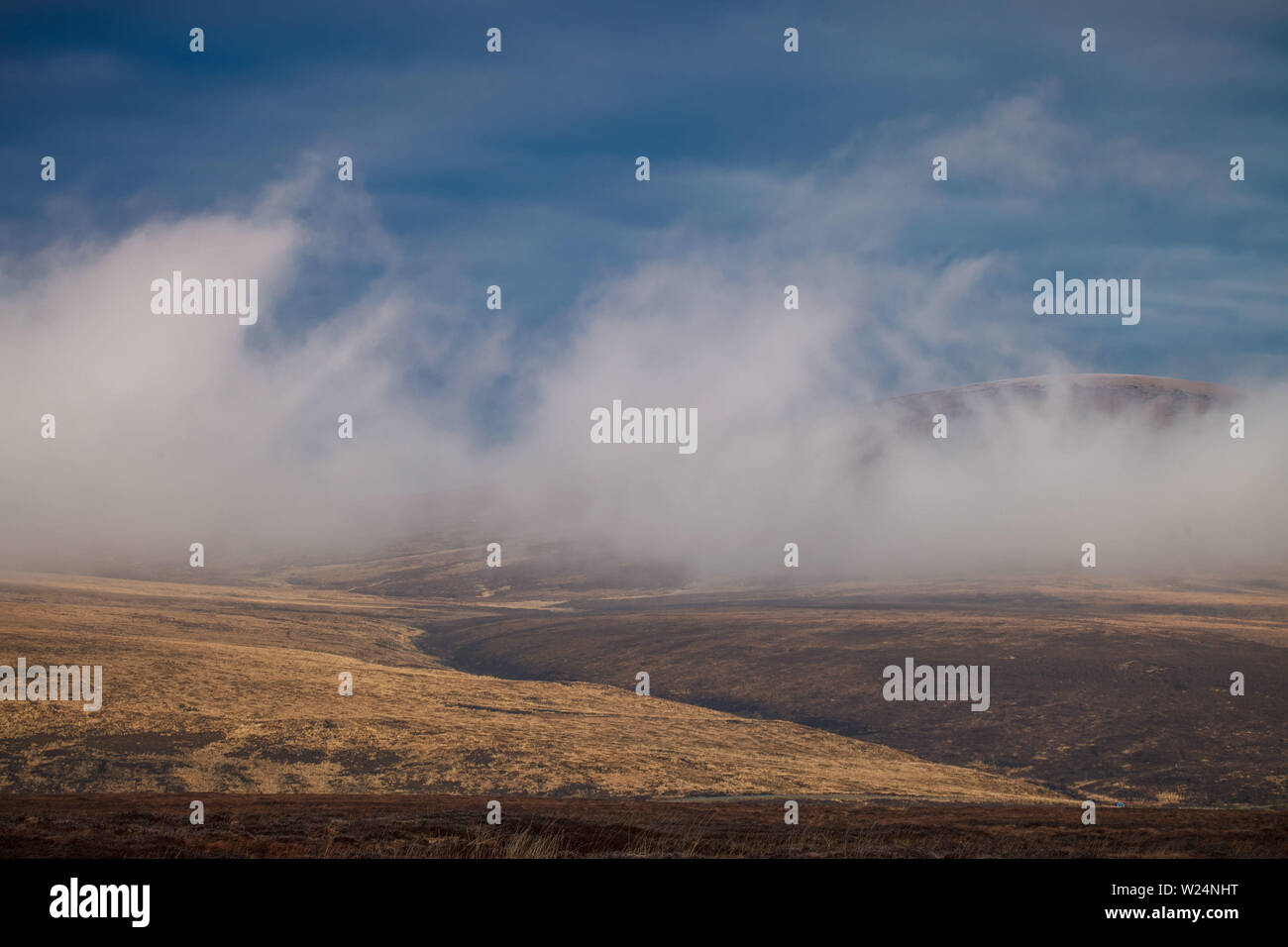 Morgen in den Wicklow Mountains, Irland Stockfotohttps://www.alamy.de/image-license-details/?v=1https://www.alamy.de/morgen-in-den-wicklow-mountains-irland-image259489604.html
RFW24NHT–Morgen in den Wicklow Mountains, Irland
 Luggalla See in Wicklow, Irland. Stockfotohttps://www.alamy.de/image-license-details/?v=1https://www.alamy.de/stockfoto-luggalla-see-in-wicklow-irland-19508008.html
RFB3MJJG–Luggalla See in Wicklow, Irland.
 Rock-Zaun entlang der Straße in der Nähe von Sally Gap und Lough Tay; Grafschaft Wicklow, Irland Stockfotohttps://www.alamy.de/image-license-details/?v=1https://www.alamy.de/stockfoto-rock-zaun-entlang-der-strasse-in-der-nahe-von-sally-gap-und-lough-tay-grafschaft-wicklow-irland-34320360.html
RFBYRBY4–Rock-Zaun entlang der Straße in der Nähe von Sally Gap und Lough Tay; Grafschaft Wicklow, Irland
 Die Leute helfen, ein Auto zu befreien, das im Schnee steckt, auf der Sally Gap in den Wicklow Mountains im County Wicklow. Der irische Premierminister Simon Harris sagte, es sei wichtig, dass die Menschen „wachsam bleiben“, da in den kommenden Tagen extrem niedrige Temperaturen erwartet werden. Bilddatum: Dienstag, 7. Januar 2025. Stockfotohttps://www.alamy.de/image-license-details/?v=1https://www.alamy.de/die-leute-helfen-ein-auto-zu-befreien-das-im-schnee-steckt-auf-der-sally-gap-in-den-wicklow-mountains-im-county-wicklow-der-irische-premierminister-simon-harris-sagte-es-sei-wichtig-dass-die-menschen-wachsam-bleiben-da-in-den-kommenden-tagen-extrem-niedrige-temperaturen-erwartet-werden-bilddatum-dienstag-7-januar-2025-image638357516.html
RM2S2FKEM–Die Leute helfen, ein Auto zu befreien, das im Schnee steckt, auf der Sally Gap in den Wicklow Mountains im County Wicklow. Der irische Premierminister Simon Harris sagte, es sei wichtig, dass die Menschen „wachsam bleiben“, da in den kommenden Tagen extrem niedrige Temperaturen erwartet werden. Bilddatum: Dienstag, 7. Januar 2025.
 Kreuzung der R759 und R115 und die alte Militärstraße an Sally Gap in die Wicklow Mountains, Irland. Stockfotohttps://www.alamy.de/image-license-details/?v=1https://www.alamy.de/stockfoto-kreuzung-der-r759-und-r115-und-die-alte-militarstrasse-an-sally-gap-in-die-wicklow-mountains-irland-72125498.html
RME59GPJ–Kreuzung der R759 und R115 und die alte Militärstraße an Sally Gap in die Wicklow Mountains, Irland.
 Lake Guiness in der Nähe von Sally Gap, Wicklow Mountains, County Wicklow, Irland Stockfotohttps://www.alamy.de/image-license-details/?v=1https://www.alamy.de/lake-guiness-in-der-nahe-von-sally-gap-wicklow-mountains-county-wicklow-irland-image551159925.html
RM2R0KE31–Lake Guiness in der Nähe von Sally Gap, Wicklow Mountains, County Wicklow, Irland
 Moorlandschaft Anfang Juni in der Nähe von Sally Gap, WIcklow Mountains, County Wicklow, Ireland Stockfotohttps://www.alamy.de/image-license-details/?v=1https://www.alamy.de/stockfoto-moorlandschaft-anfang-juni-in-der-nahe-von-sally-gap-wicklow-mountains-county-wicklow-ireland-73101862.html
RME6X24P–Moorlandschaft Anfang Juni in der Nähe von Sally Gap, WIcklow Mountains, County Wicklow, Ireland
 County Wicklow, Irland. 7th Mai 2016. Der Glenmacnass River folgt der Old Military Road von Sally Gap nach Laragh und Glendalough in der Grafschaft Wicklow. Stockfotohttps://www.alamy.de/image-license-details/?v=1https://www.alamy.de/county-wicklow-irland-7th-mai-2016-der-glenmacnass-river-folgt-der-old-military-road-von-sally-gap-nach-laragh-und-glendalough-in-der-grafschaft-wicklow-image408272560.html
RM2EM6BPT–County Wicklow, Irland. 7th Mai 2016. Der Glenmacnass River folgt der Old Military Road von Sally Gap nach Laragh und Glendalough in der Grafschaft Wicklow.
 Blick Richtung Kippure Berg über Moor in der Nähe von Sally Gap, County Wicklow, Ireland, Anfang Juni Stockfotohttps://www.alamy.de/image-license-details/?v=1https://www.alamy.de/blick-richtung-kippure-berg-uber-moor-in-der-nahe-von-sally-gap-county-wicklow-ireland-anfang-juni-image65848225.html
RMDR3J29–Blick Richtung Kippure Berg über Moor in der Nähe von Sally Gap, County Wicklow, Ireland, Anfang Juni
 Ronnie und Sally Holz, in Ihren Garten fotografiert, West London, England, Großbritannien Stockfotohttps://www.alamy.de/image-license-details/?v=1https://www.alamy.de/ronnie-und-sally-holz-in-ihren-garten-fotografiert-west-london-england-grossbritannien-image334143481.html
RM2ABHFBN–Ronnie und Sally Holz, in Ihren Garten fotografiert, West London, England, Großbritannien
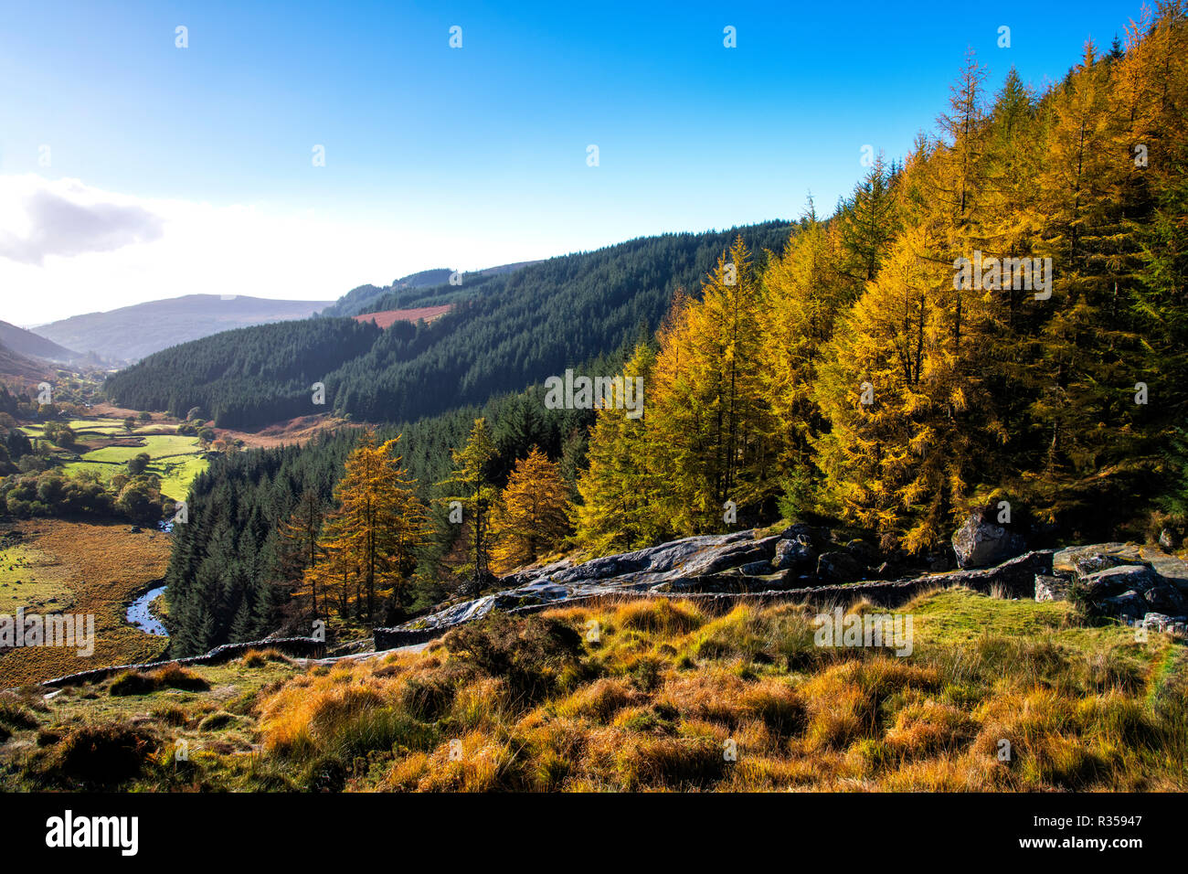 Herbst Blick auf Glenmacnass Wasserfall Stockfotohttps://www.alamy.de/image-license-details/?v=1https://www.alamy.de/herbst-blick-auf-glenmacnass-wasserfall-image225695687.html
RFR35947–Herbst Blick auf Glenmacnass Wasserfall
 Radfahren in Sally GAP mit Moor und Bergen, Wicklow, Irland Stockfotohttps://www.alamy.de/image-license-details/?v=1https://www.alamy.de/radfahren-in-sally-gap-mit-moor-und-bergen-wicklow-irland-image565263452.html
RF2RRHY8C–Radfahren in Sally GAP mit Moor und Bergen, Wicklow, Irland
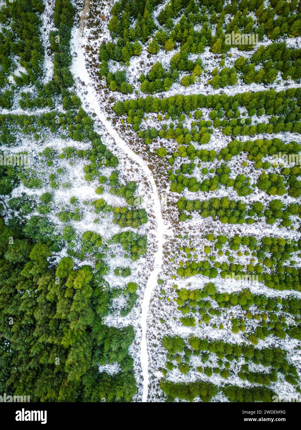 Schneestäubung bei Sally Gap Stockfotohttps://www.alamy.de/image-license-details/?v=1https://www.alamy.de/schneestaubung-bei-sally-gap-image593466316.html
RF2WDEM9G–Schneestäubung bei Sally Gap
 Die historische militärische Straße aufwärts durch die Wicklow Hochland in Richtung Sally Lücke in der Grafschaft Wicklow in Irland Stockfotohttps://www.alamy.de/image-license-details/?v=1https://www.alamy.de/stockfoto-die-historische-militarische-strasse-aufwarts-durch-die-wicklow-hochland-in-richtung-sally-lucke-in-der-grafschaft-wicklow-in-irland-170976810.html
RFKX4JJJ–Die historische militärische Straße aufwärts durch die Wicklow Hochland in Richtung Sally Lücke in der Grafschaft Wicklow in Irland
 Irland, Co. Wicklow, Luggala, Lough Tay, Blick nach Richtung Luggala Berg, Luggala Estate und Sally Gap. Stockfotohttps://www.alamy.de/image-license-details/?v=1https://www.alamy.de/stockfoto-irland-co-wicklow-luggala-lough-tay-blick-nach-richtung-luggala-berg-luggala-estate-und-sally-gap-40024451.html
RMC937GK–Irland, Co. Wicklow, Luggala, Lough Tay, Blick nach Richtung Luggala Berg, Luggala Estate und Sally Gap.
 Berglandschaftsstraße nach Sally Gap in den Dublin Mountains, Irland Stockfotohttps://www.alamy.de/image-license-details/?v=1https://www.alamy.de/berglandschaftsstrasse-nach-sally-gap-in-den-dublin-mountains-irland-image460878531.html
RF2HNPR7F–Berglandschaftsstraße nach Sally Gap in den Dublin Mountains, Irland
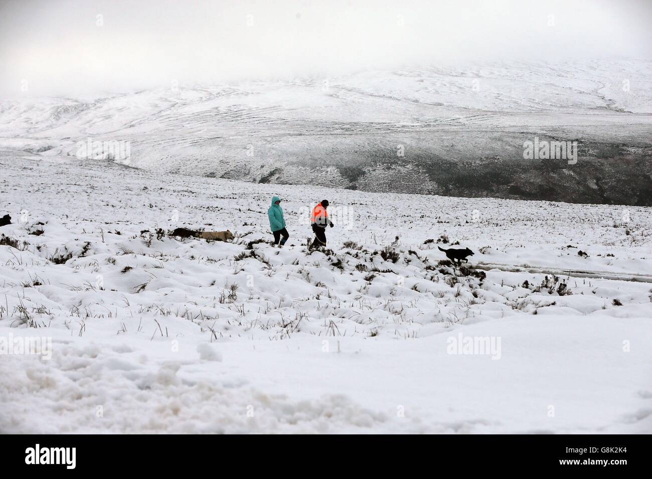 In Sally Gap, Glencullen in Dublin, wandern die Menschen durch schneebedeckte Felder, da das ungewöhnlich milde Wetter mit der Ankunft eisiger Temperaturen aus dem eisigen Norden zu Ende ist. Stockfotohttps://www.alamy.de/image-license-details/?v=1https://www.alamy.de/stockfoto-in-sally-gap-glencullen-in-dublin-wandern-die-menschen-durch-schneebedeckte-felder-da-das-ungewohnlich-milde-wetter-mit-der-ankunft-eisiger-temperaturen-aus-dem-eisigen-norden-zu-ende-ist-108598648.html
RMG8K2K4–In Sally Gap, Glencullen in Dublin, wandern die Menschen durch schneebedeckte Felder, da das ungewöhnlich milde Wetter mit der Ankunft eisiger Temperaturen aus dem eisigen Norden zu Ende ist.
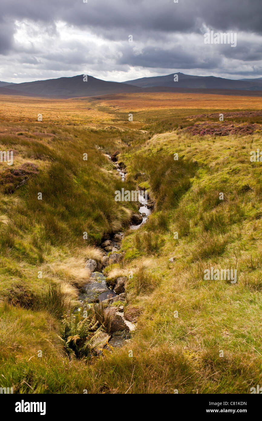 Irland, Co. Wicklow, Sally Gap Bergpass Stockfotohttps://www.alamy.de/image-license-details/?v=1https://www.alamy.de/stockfoto-irland-co-wicklow-sally-gap-bergpass-39375217.html
RMC81KDN–Irland, Co. Wicklow, Sally Gap Bergpass
 Eine Linie aus Metall Beiträge in der Wiese an der Straße, in der Nähe von Sally Gap in den Wicklow Mountains Irland EU Stockfotohttps://www.alamy.de/image-license-details/?v=1https://www.alamy.de/stockfoto-eine-linie-aus-metall-beitrage-in-der-wiese-an-der-strasse-in-der-nahe-von-sally-gap-in-den-wicklow-mountains-irland-eu-25718656.html
RMBDRGBC–Eine Linie aus Metall Beiträge in der Wiese an der Straße, in der Nähe von Sally Gap in den Wicklow Mountains Irland EU
 Irland County Wicklow Mountains in der Nähe von Sally Gap Stockfotohttps://www.alamy.de/image-license-details/?v=1https://www.alamy.de/stockfoto-irland-county-wicklow-mountains-in-der-nahe-von-sally-gap-12779068.html
RMAB4YHH–Irland County Wicklow Mountains in der Nähe von Sally Gap
 Schafe auf leere Bergstraße bekannt als Sally Gap in die Wicklow Mountains, südlich von Dublin, Irland. Stockfotohttps://www.alamy.de/image-license-details/?v=1https://www.alamy.de/stockfoto-schafe-auf-leere-bergstrasse-bekannt-als-sally-gap-in-die-wicklow-mountains-sudlich-von-dublin-irland-167414384.html
RMKMAAN4–Schafe auf leere Bergstraße bekannt als Sally Gap in die Wicklow Mountains, südlich von Dublin, Irland.
 Irland, Wicklow Mountains Sunrise Lough Tay Lake Stockfotohttps://www.alamy.de/image-license-details/?v=1https://www.alamy.de/stockfoto-irland-wicklow-mountains-sunrise-lough-tay-lake-122599278.html
RMH3CTHJ–Irland, Wicklow Mountains Sunrise Lough Tay Lake
 1660 Wicklow Mountains LoughTay von Sally Gap Co Wicklow Republik von Irland Stockfotohttps://www.alamy.de/image-license-details/?v=1https://www.alamy.de/stockfoto-1660-wicklow-mountains-loughtay-von-sally-gap-co-wicklow-republik-von-irland-21060864.html
RMB67B9M–1660 Wicklow Mountains LoughTay von Sally Gap Co Wicklow Republik von Irland
 Kreuzung der R759 und R115 und die alte Militärstraße an Sally Gap in die Wicklow Mountains, Irland. Stockfotohttps://www.alamy.de/image-license-details/?v=1https://www.alamy.de/stockfoto-kreuzung-der-r759-und-r115-und-die-alte-militarstrasse-an-sally-gap-in-die-wicklow-mountains-irland-72125710.html
RME59H26–Kreuzung der R759 und R115 und die alte Militärstraße an Sally Gap in die Wicklow Mountains, Irland.
 Heimtückische vereisten Straßen in der Nähe der Sally Gap in Co.Wicklow heute, da die Temperaturen prognostiziert wurden, um minus fünf Grad über das Wochenende Stockfotohttps://www.alamy.de/image-license-details/?v=1https://www.alamy.de/stockfoto-heimtuckische-vereisten-strassen-in-der-nahe-der-sally-gap-in-cowicklow-heute-da-die-temperaturen-prognostiziert-wurden-um-minus-funf-grad-uber-das-wochenende-110816928.html
RMGC843C–Heimtückische vereisten Straßen in der Nähe der Sally Gap in Co.Wicklow heute, da die Temperaturen prognostiziert wurden, um minus fünf Grad über das Wochenende
 Ruinen einer alten Steinhaus in den Wicklow Mountains in der Nähe von Sally Gap, Irland Stockfotohttps://www.alamy.de/image-license-details/?v=1https://www.alamy.de/ruinen-einer-alten-steinhaus-in-den-wicklow-mountains-in-der-nahe-von-sally-gap-irland-image261056534.html
RMW4M47J–Ruinen einer alten Steinhaus in den Wicklow Mountains in der Nähe von Sally Gap, Irland
 Sally Gap, Wicklow Mountains Grafschaft Wicklow, Irland Stockfotohttps://www.alamy.de/image-license-details/?v=1https://www.alamy.de/sally-gap-wicklow-mountains-grafschaft-wicklow-irland-image9589807.html
RMAXADR0–Sally Gap, Wicklow Mountains Grafschaft Wicklow, Irland
 Decke im Sally Gap Area der Wicklow Berge bog, Irland Stockfotohttps://www.alamy.de/image-license-details/?v=1https://www.alamy.de/stockfoto-decke-im-sally-gap-area-der-wicklow-berge-bog-irland-165834201.html
RMKHPB61–Decke im Sally Gap Area der Wicklow Berge bog, Irland
 Sally Gap, Wicklow, Irland. 10. Juli 2018: Radfahrer vorbei an der Sally Lücke in Wicklow Mountains, die durch die jüngsten Ginster Brände beschädigt. Quelle: Michael Grubka/Alamy leben Nachrichten Stockfotohttps://www.alamy.de/image-license-details/?v=1https://www.alamy.de/sally-gap-wicklow-irland-10-juli-2018-radfahrer-vorbei-an-der-sally-lucke-in-wicklow-mountains-die-durch-die-jungsten-ginster-brande-beschadigt-quelle-michael-grubkaalamy-leben-nachrichten-image211719739.html
RMP8CJK7–Sally Gap, Wicklow, Irland. 10. Juli 2018: Radfahrer vorbei an der Sally Lücke in Wicklow Mountains, die durch die jüngsten Ginster Brände beschädigt. Quelle: Michael Grubka/Alamy leben Nachrichten
 Blick auf Kippure Mast von Sally Gap in den Wicklow Mountains, Irland Stockfotohttps://www.alamy.de/image-license-details/?v=1https://www.alamy.de/blick-auf-kippure-mast-von-sally-gap-in-den-wicklow-mountains-irland-image263080713.html
RMW80A3N–Blick auf Kippure Mast von Sally Gap in den Wicklow Mountains, Irland
 Shankhill River bei Cloghleagh Stockfotohttps://www.alamy.de/image-license-details/?v=1https://www.alamy.de/shankhill-river-bei-cloghleagh-image225695694.html
RFR3594E–Shankhill River bei Cloghleagh
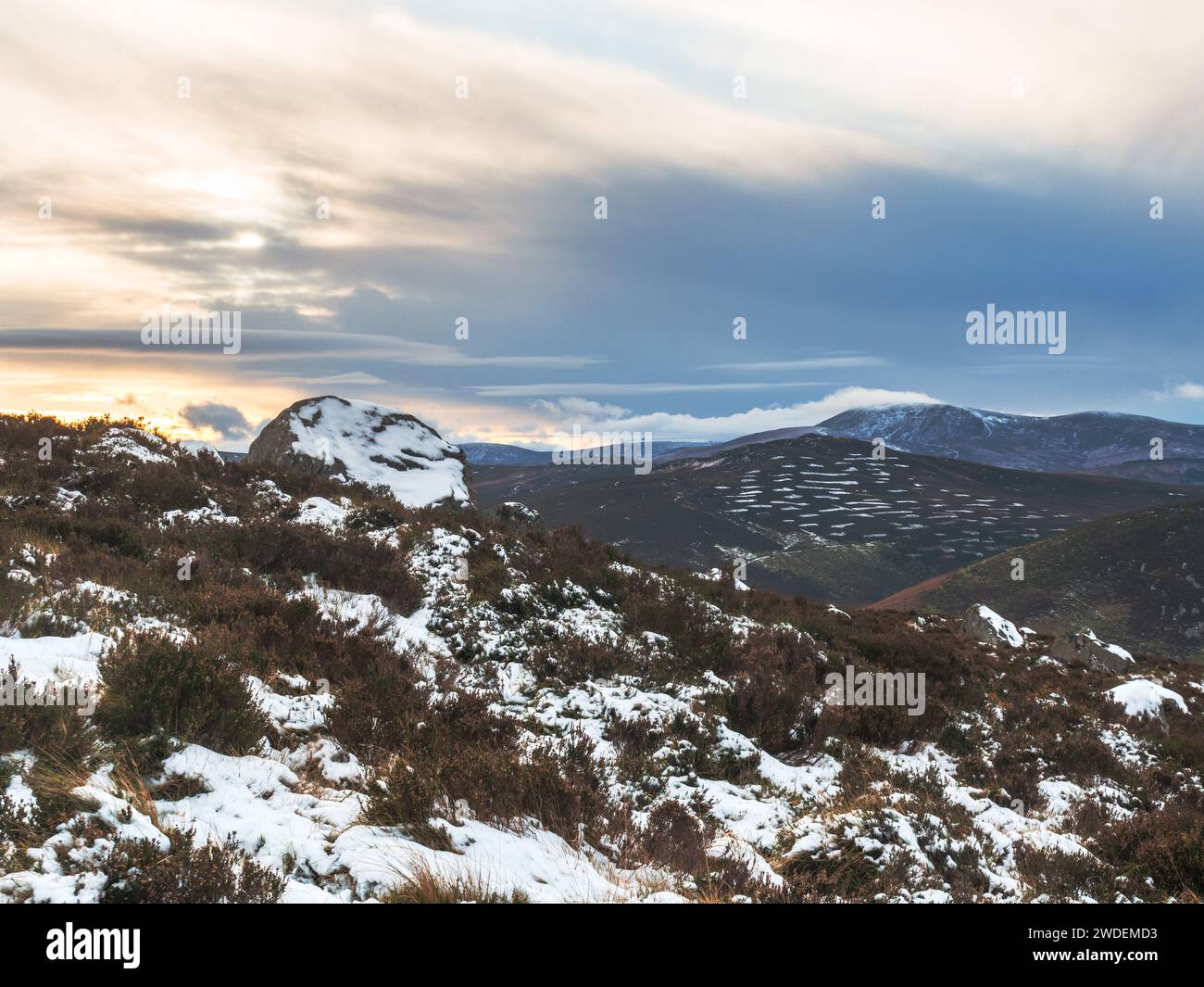 Schneestäubung bei Sally Gap Stockfotohttps://www.alamy.de/image-license-details/?v=1https://www.alamy.de/schneestaubung-bei-sally-gap-image593466415.html
RF2WDEMD3–Schneestäubung bei Sally Gap
 Straße zum Sally Lücke an Glendasan Stockfotohttps://www.alamy.de/image-license-details/?v=1https://www.alamy.de/strasse-zum-sally-lucke-an-glendasan-image225695355.html
RFR358MB–Straße zum Sally Lücke an Glendasan
 Die historische militärische Straße aufwärts durch die Wicklow Hochland in Richtung Sally Lücke in der Grafschaft Wicklow in Irland Stockfotohttps://www.alamy.de/image-license-details/?v=1https://www.alamy.de/stockfoto-die-historische-militarische-strasse-aufwarts-durch-die-wicklow-hochland-in-richtung-sally-lucke-in-der-grafschaft-wicklow-in-irland-170976824.html
RFKX4JK4–Die historische militärische Straße aufwärts durch die Wicklow Hochland in Richtung Sally Lücke in der Grafschaft Wicklow in Irland
 Moore mit Bergen im Hintergrund in Sally GAP, Wicklow, Irland Stockfotohttps://www.alamy.de/image-license-details/?v=1https://www.alamy.de/moore-mit-bergen-im-hintergrund-in-sally-gap-wicklow-irland-image565263427.html
RF2RRHY7F–Moore mit Bergen im Hintergrund in Sally GAP, Wicklow, Irland
 Lough Teagh at Dawn Sally Gap Co Wicklow Irland. Stockfotohttps://www.alamy.de/image-license-details/?v=1https://www.alamy.de/stockfoto-lough-teagh-at-dawn-sally-gap-co-wicklow-irland-15488961.html
RFAND0NP–Lough Teagh at Dawn Sally Gap Co Wicklow Irland.
 Irland, Co. Wicklow, Sally Gap Schafbeweidung neben Bergbach Stockfotohttps://www.alamy.de/image-license-details/?v=1https://www.alamy.de/stockfoto-irland-co-wicklow-sally-gap-schafbeweidung-neben-bergbach-39375378.html
RMC81KKE–Irland, Co. Wicklow, Sally Gap Schafbeweidung neben Bergbach
 Regenbogen Heather Co Wicklow Irland Stockfotohttps://www.alamy.de/image-license-details/?v=1https://www.alamy.de/regenbogen-heather-co-wicklow-irland-image3328955.html
RFA1AKBC–Regenbogen Heather Co Wicklow Irland
 County Wicklow Mountains in Irland in der Nähe von Sally Gap Stockfotohttps://www.alamy.de/image-license-details/?v=1https://www.alamy.de/stockfoto-county-wicklow-mountains-in-irland-in-der-nahe-von-sally-gap-12779070.html
RMAB4YHK–County Wicklow Mountains in Irland in der Nähe von Sally Gap
 Wicklow Mountains Hügel. Bergbach im Heidekraut Moorland zwischen Sally Gap und Laragh, County Wicklow, Ireland. Stockfotohttps://www.alamy.de/image-license-details/?v=1https://www.alamy.de/wicklow-mountains-hugel-bergbach-im-heidekraut-moorland-zwischen-sally-gap-und-laragh-county-wicklow-ireland-image4989526.html
RMAMJX57–Wicklow Mountains Hügel. Bergbach im Heidekraut Moorland zwischen Sally Gap und Laragh, County Wicklow, Ireland.
 Sonnenaufgang in Wicklow Mountains, Irland Stockfotohttps://www.alamy.de/image-license-details/?v=1https://www.alamy.de/stockfoto-sonnenaufgang-in-wicklow-mountains-irland-122599269.html
RMH3CTH9–Sonnenaufgang in Wicklow Mountains, Irland
 1659 Wicklow Mountains LoughTay von Sally Gap Co Wicklow Republik von Irland Stockfotohttps://www.alamy.de/image-license-details/?v=1https://www.alamy.de/stockfoto-1659-wicklow-mountains-loughtay-von-sally-gap-co-wicklow-republik-von-irland-21062600.html
RMB67DFM–1659 Wicklow Mountains LoughTay von Sally Gap Co Wicklow Republik von Irland
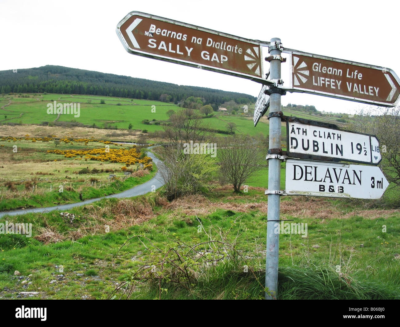 Sign Post Road Marker zeigt Weg zu Sally Gap und Liffey Valley Wicklow Mountains Stockfotohttps://www.alamy.de/image-license-details/?v=1https://www.alamy.de/stockfoto-sign-post-road-marker-zeigt-weg-zu-sally-gap-und-liffey-valley-wicklow-mountains-17351208.html
RMB06BJ0–Sign Post Road Marker zeigt Weg zu Sally Gap und Liffey Valley Wicklow Mountains
 Ein Mann geht im vereinzelten Schnee in der Gegend von Sally Gap auf den Bergen von Dublin. Stockfotohttps://www.alamy.de/image-license-details/?v=1https://www.alamy.de/stockfoto-ein-mann-geht-im-vereinzelten-schnee-in-der-gegend-von-sally-gap-auf-den-bergen-von-dublin-108612822.html
RMG8KMNA–Ein Mann geht im vereinzelten Schnee in der Gegend von Sally Gap auf den Bergen von Dublin.
 Straße in der Nähe von Sally Gap, County Wicklow, Irland, Stockfotohttps://www.alamy.de/image-license-details/?v=1https://www.alamy.de/strasse-in-der-nahe-von-sally-gap-county-wicklow-irland-image462377817.html
RM2HT73HD–Straße in der Nähe von Sally Gap, County Wicklow, Irland,
 Bus auf der Straße; Sally Gap, County Wicklow, Irland Stockfotohttps://www.alamy.de/image-license-details/?v=1https://www.alamy.de/stockfoto-bus-auf-der-strasse-sally-gap-county-wicklow-irland-85664812.html
RMEYAA9G–Bus auf der Straße; Sally Gap, County Wicklow, Irland
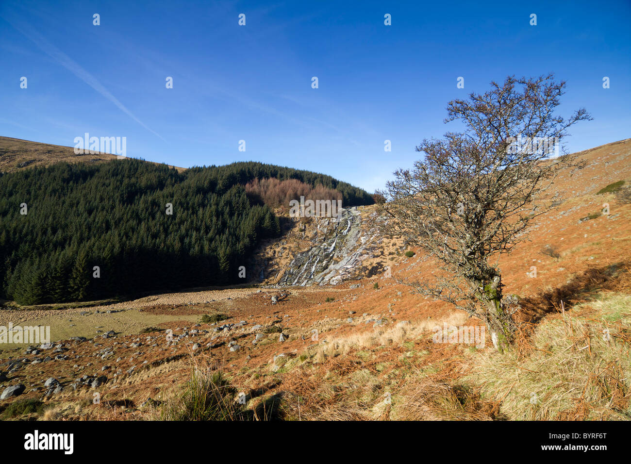 Sally Gap, Wicklow, Irland. Stockfotohttps://www.alamy.de/image-license-details/?v=1https://www.alamy.de/stockfoto-sally-gap-wicklow-irland-34322928.html
RMBYRF6T–Sally Gap, Wicklow, Irland.
 Sally Gap, Wicklow, Irland. 10. Juli 2018: Radfahrer vorbei an der Sally Lücke in Wicklow Mountains, die durch die jüngsten Ginster Brände beschädigt. Quelle: Michael Grubka/Alamy leben Nachrichten Stockfotohttps://www.alamy.de/image-license-details/?v=1https://www.alamy.de/sally-gap-wicklow-irland-10-juli-2018-radfahrer-vorbei-an-der-sally-lucke-in-wicklow-mountains-die-durch-die-jungsten-ginster-brande-beschadigt-quelle-michael-grubkaalamy-leben-nachrichten-image211719735.html
RMP8CJK3–Sally Gap, Wicklow, Irland. 10. Juli 2018: Radfahrer vorbei an der Sally Lücke in Wicklow Mountains, die durch die jüngsten Ginster Brände beschädigt. Quelle: Michael Grubka/Alamy leben Nachrichten
 Blick auf Kippure Mast von Sally Gap in den Wicklow Mountains, Irland Stockfotohttps://www.alamy.de/image-license-details/?v=1https://www.alamy.de/blick-auf-kippure-mast-von-sally-gap-in-den-wicklow-mountains-irland-image263080719.html
RMW80A3Y–Blick auf Kippure Mast von Sally Gap in den Wicklow Mountains, Irland
 In der Nähe von Sally Lücke, Co Wicklow, Irland, Sonnenuntergang Stockfotohttps://www.alamy.de/image-license-details/?v=1https://www.alamy.de/stockfoto-in-der-nahe-von-sally-lucke-co-wicklow-irland-sonnenuntergang-36338466.html
RMC33A2A–In der Nähe von Sally Lücke, Co Wicklow, Irland, Sonnenuntergang
 Schneestäubung bei Sally Gap Stockfotohttps://www.alamy.de/image-license-details/?v=1https://www.alamy.de/schneestaubung-bei-sally-gap-image593466241.html
RF2WDEM6W–Schneestäubung bei Sally Gap
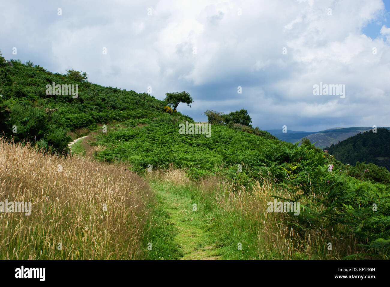 Schöne Landschaft, Co Wicklow, Irland Stockfotohttps://www.alamy.de/image-license-details/?v=1https://www.alamy.de/stockfoto-schone-landschaft-co-wicklow-irland-164153601.html
RMKF1RGH–Schöne Landschaft, Co Wicklow, Irland
 Die große Zuckerhut im Osten der Grafschaft Wicklow, Irland. Stockfotohttps://www.alamy.de/image-license-details/?v=1https://www.alamy.de/die-grosse-zuckerhut-im-osten-der-grafschaft-wicklow-irland-image184728853.html
RMMMF3F1–Die große Zuckerhut im Osten der Grafschaft Wicklow, Irland.
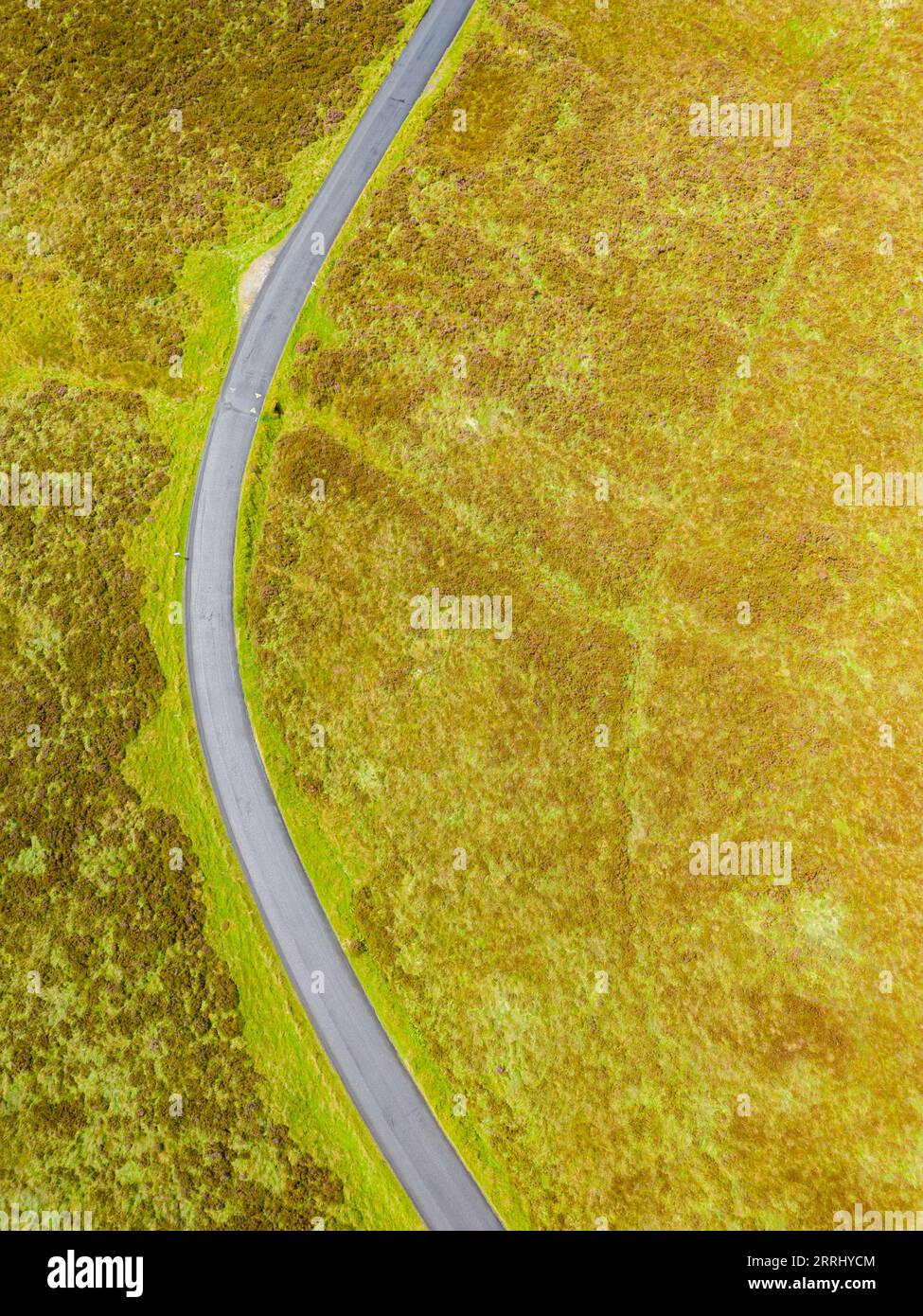 Luftaufnahme von Straßen und Mooren in Sally GAP, Wicklow, Irland Stockfotohttps://www.alamy.de/image-license-details/?v=1https://www.alamy.de/luftaufnahme-von-strassen-und-mooren-in-sally-gap-wicklow-irland-image565263572.html
RF2RRHYCM–Luftaufnahme von Straßen und Mooren in Sally GAP, Wicklow, Irland
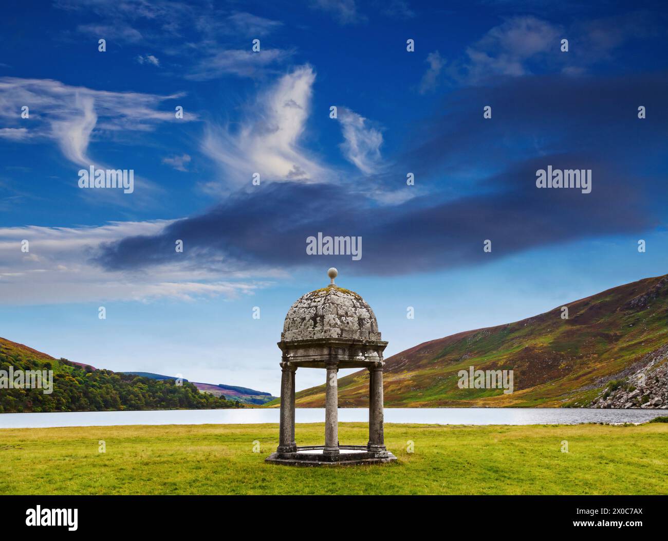 Der aus dem 18. Jahrhundert stammende Steintempel in Luggala an der Seite des Lough Tay im County Wiclow, Irland Stockfotohttps://www.alamy.de/image-license-details/?v=1https://www.alamy.de/der-aus-dem-18-jahrhundert-stammende-steintempel-in-luggala-an-der-seite-des-lough-tay-im-county-wiclow-irland-image602632098.html
RM2X0C7AX–Der aus dem 18. Jahrhundert stammende Steintempel in Luggala an der Seite des Lough Tay im County Wiclow, Irland
 Irland, Co. Wicklow, Sally Gap Bergbach auf Bergpass Stockfotohttps://www.alamy.de/image-license-details/?v=1https://www.alamy.de/stockfoto-irland-co-wicklow-sally-gap-bergbach-auf-bergpass-39375515.html
RMC81KTB–Irland, Co. Wicklow, Sally Gap Bergbach auf Bergpass

