Schnellfilter:
Sagittarius schlucht Stockfotos & Bilder
 Sagittarius Ridge, Point Sublime, North Rim, Grand Canyon National Park, Arizona Stockfotohttps://www.alamy.de/image-license-details/?v=1https://www.alamy.de/sagittarius-ridge-point-sublime-north-rim-grand-canyon-national-park-arizona-image553112672.html
RM2R3TCT0–Sagittarius Ridge, Point Sublime, North Rim, Grand Canyon National Park, Arizona
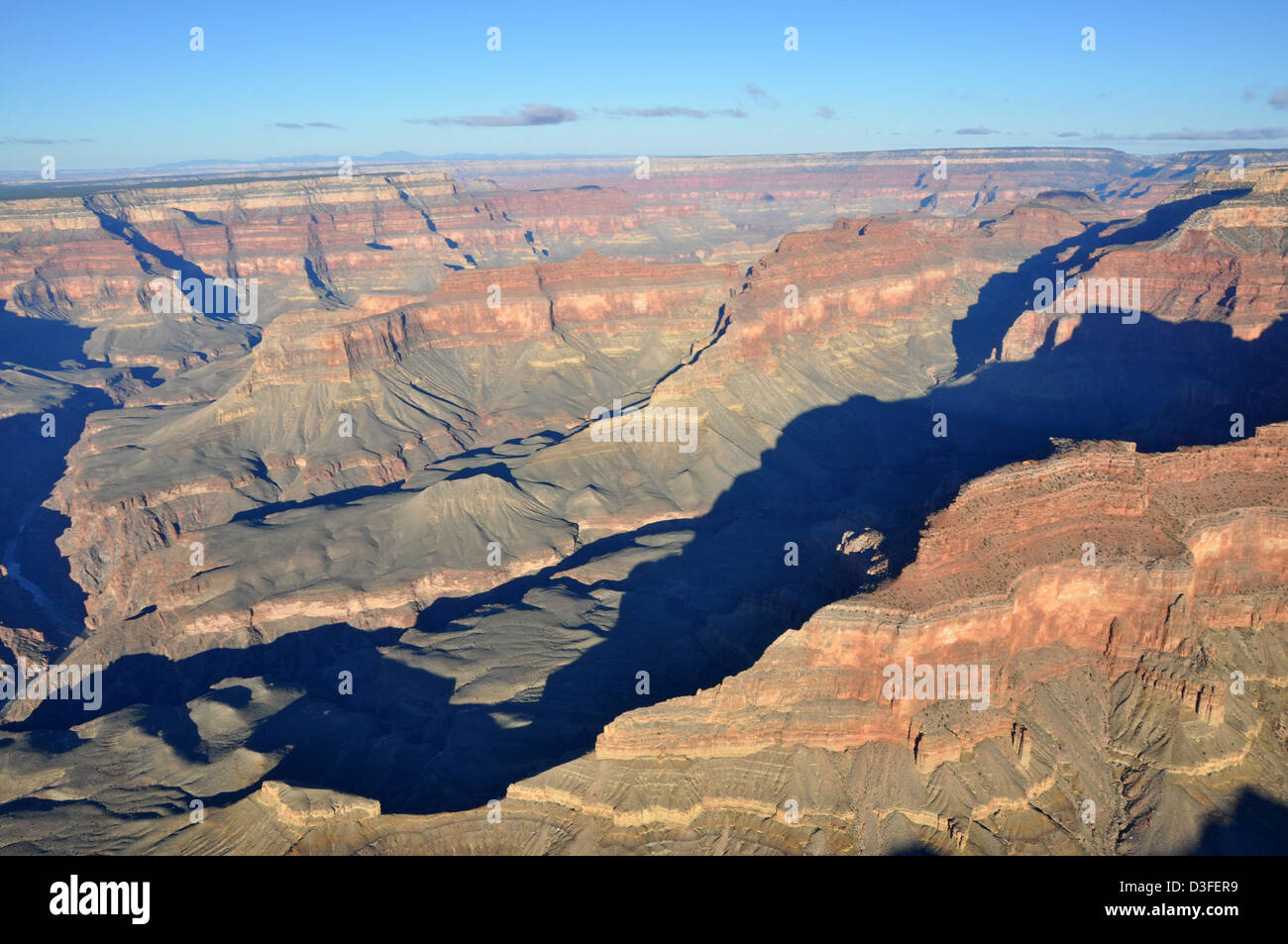 Grand Canyon DEIS Antenne: Scorpion & Schütze Grate Stockfotohttps://www.alamy.de/image-license-details/?v=1https://www.alamy.de/stockfoto-grand-canyon-deis-antenne-scorpion-schutze-grate-53815981.html
RMD3FER9–Grand Canyon DEIS Antenne: Scorpion & Schütze Grate
 Die Milchstraße am Untergang in Cypress Hills, Alberta, Kanada Progr. Stockfotohttps://www.alamy.de/image-license-details/?v=1https://www.alamy.de/stockfoto-die-milchstrasse-am-untergang-in-cypress-hills-alberta-kanada-progr-176790849.html
RFM7HEEW–Die Milchstraße am Untergang in Cypress Hills, Alberta, Kanada Progr.
 Schwarz und Weiß GLAS LATERNE schieben. Lesung "PANORAMA, inneren Schlucht' AUS DEM SÜDEN TONTO PLATTFORM; SIEHT AUS SÜDOSTEN, DIE AN EINEM PUNKT DER TAPEATS RIM WESTLICH VON KUPFER CANYON; DER GIPFEL DER SCHÜTZE RIDGE FORM DER HORIZONT IN DER NÄHE VON ZENTRUM UND DER KLEINE KNOPF, IST DER GIPFEL DER SCORPION RIDGE KANN MAN AM HORIZONT RECHTS DER VERTIKALEN MITTE. CIRCA 1902. Mit EINER GRUPPE VON FOLIEN AUS DER MATTHES UMFRAGE EXPEDITION IM GRAND CANYON - ca. 1902 Grand Canyon Matthes Übersicht von. Stockfotohttps://www.alamy.de/image-license-details/?v=1https://www.alamy.de/stockfoto-schwarz-und-weiss-glas-laterne-schieben-lesung-panorama-inneren-schlucht-aus-dem-suden-tonto-plattform-sieht-aus-sudosten-die-an-einem-punkt-der-tapeats-rim-westlich-von-kupfer-canyon-der-gipfel-der-schutze-ridge-form-der-horizont-in-der-nahe-von-zentrum-und-der-kleine-knopf-ist-der-gipfel-der-scorpion-ridge-kann-man-am-horizont-rechts-der-vertikalen-mitte-circa-1902-mit-einer-gruppe-von-folien-aus-der-matthes-umfrage-expedition-im-grand-canyon-ca-1902-grand-canyon-matthes-ubersicht-von-175162055.html
RMM4Y8YK–Schwarz und Weiß GLAS LATERNE schieben. Lesung "PANORAMA, inneren Schlucht' AUS DEM SÜDEN TONTO PLATTFORM; SIEHT AUS SÜDOSTEN, DIE AN EINEM PUNKT DER TAPEATS RIM WESTLICH VON KUPFER CANYON; DER GIPFEL DER SCHÜTZE RIDGE FORM DER HORIZONT IN DER NÄHE VON ZENTRUM UND DER KLEINE KNOPF, IST DER GIPFEL DER SCORPION RIDGE KANN MAN AM HORIZONT RECHTS DER VERTIKALEN MITTE. CIRCA 1902. Mit EINER GRUPPE VON FOLIEN AUS DER MATTHES UMFRAGE EXPEDITION IM GRAND CANYON - ca. 1902 Grand Canyon Matthes Übersicht von.
 Der Sommermilchweg auf der nördlichen Hemisphäre über den Hoodoo-Formationen des Bryce Canyon National Park, Utah. Stockfotohttps://www.alamy.de/image-license-details/?v=1https://www.alamy.de/der-sommermilchweg-auf-der-nordlichen-hemisphare-uber-den-hoodoo-formationen-des-bryce-canyon-national-park-utah-image635965805.html
RF2YXJMTD–Der Sommermilchweg auf der nördlichen Hemisphäre über den Hoodoo-Formationen des Bryce Canyon National Park, Utah.
 Die Milchstraße als die 5-Tages zunehmender Mond Einstellung auf dem Plateau der Cypress Hills in Alberta war, an der Horseshoe Canyon viewpoint. Sagittari Stockfotohttps://www.alamy.de/image-license-details/?v=1https://www.alamy.de/die-milchstrasse-als-die-5-tages-zunehmender-mond-einstellung-auf-dem-plateau-der-cypress-hills-in-alberta-war-an-der-horseshoe-canyon-viewpoint-sagittari-image221078652.html
RMPRK024–Die Milchstraße als die 5-Tages zunehmender Mond Einstellung auf dem Plateau der Cypress Hills in Alberta war, an der Horseshoe Canyon viewpoint. Sagittari
 Milchstraße im Lalu Formationen Felsenpark, Sakaeo, Thailand Stockfotohttps://www.alamy.de/image-license-details/?v=1https://www.alamy.de/stockfoto-milchstrasse-im-lalu-formationen-felsenpark-sakaeo-thailand-147485703.html
RFJFXFEF–Milchstraße im Lalu Formationen Felsenpark, Sakaeo, Thailand
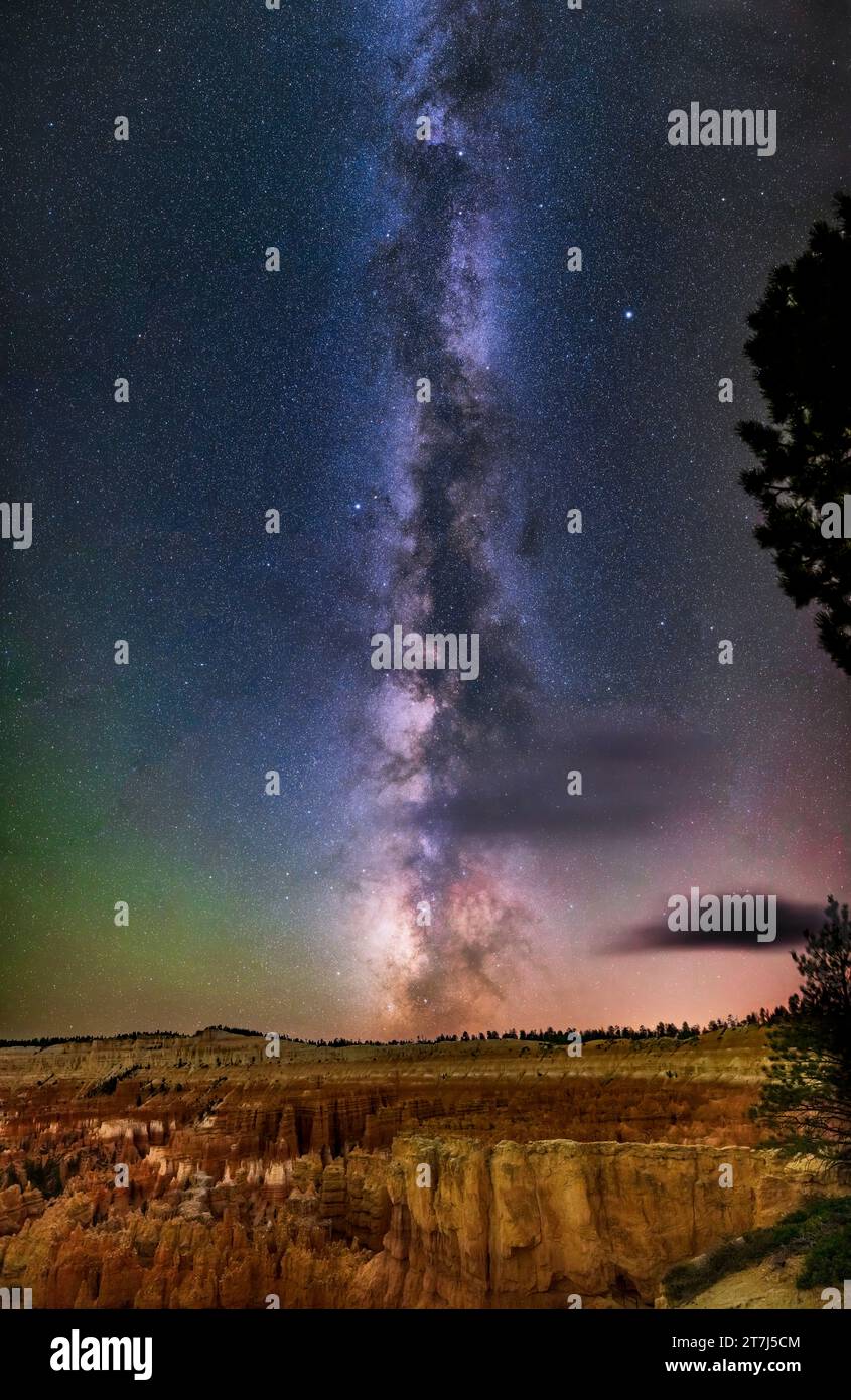 Dies ist die Sommermilchstraße der nördlichen Hemisphäre von Sagittarius (unten) bis Cygnus (oben), die im Südwesten über den Hoodoo-Formationen verläuft Stockfotohttps://www.alamy.de/image-license-details/?v=1https://www.alamy.de/dies-ist-die-sommermilchstrasse-der-nordlichen-hemisphare-von-sagittarius-unten-bis-cygnus-oben-die-im-sudwesten-uber-den-hoodoo-formationen-verlauft-image572644148.html
RM2T7J5CM–Dies ist die Sommermilchstraße der nördlichen Hemisphäre von Sagittarius (unten) bis Cygnus (oben), die im Südwesten über den Hoodoo-Formationen verläuft
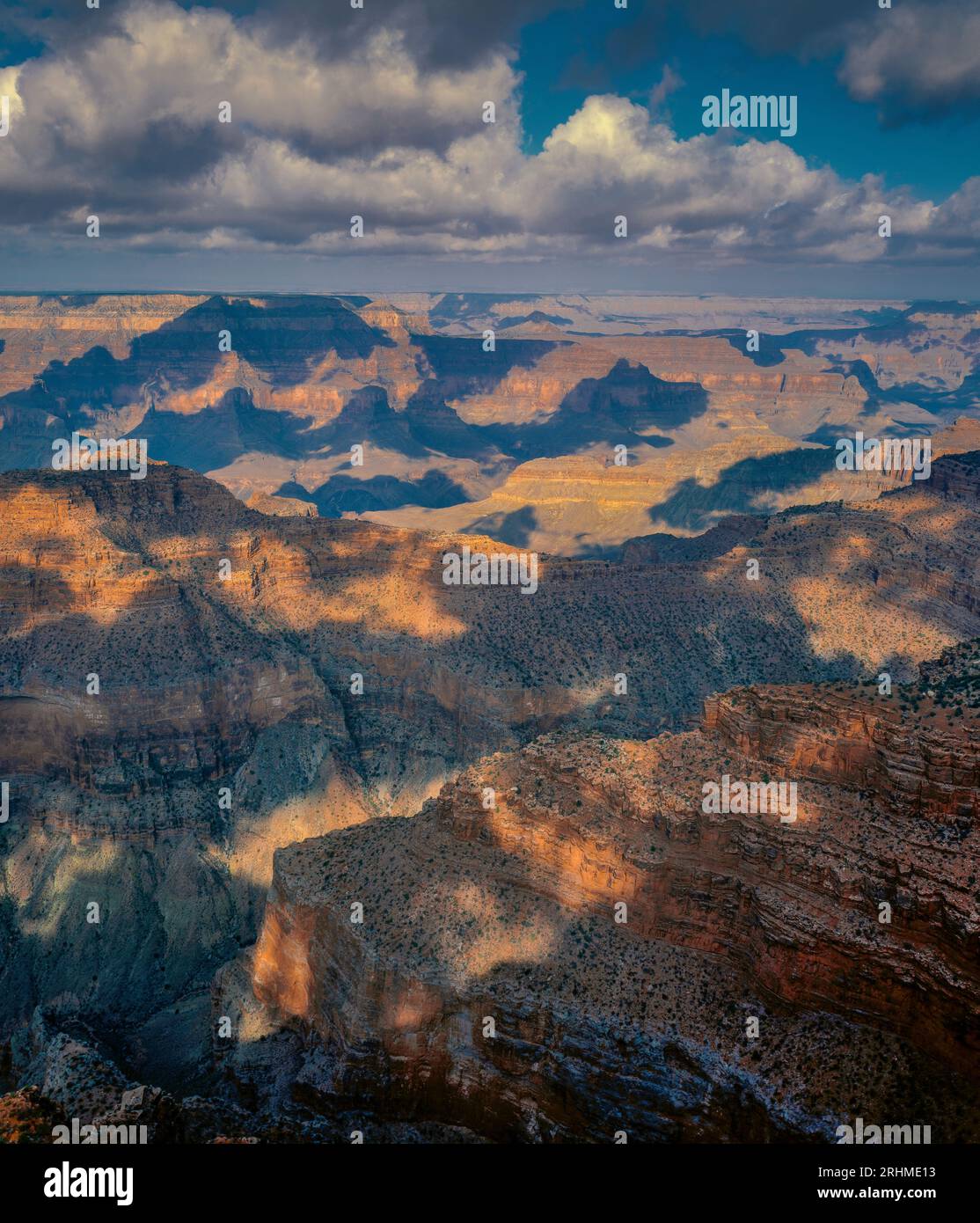 Sagittarius Ridge, Point Sublime, North Rim, Grand Canyon National Park, Arizona Stockfotohttps://www.alamy.de/image-license-details/?v=1https://www.alamy.de/sagittarius-ridge-point-sublime-north-rim-grand-canyon-national-park-arizona-image561630975.html
RM2RHME13–Sagittarius Ridge, Point Sublime, North Rim, Grand Canyon National Park, Arizona
 Grand Canyon Nps 5477166258 Grand Canyon DEIS Antenne; Scorpion & Schütze Grate Stockfotohttps://www.alamy.de/image-license-details/?v=1https://www.alamy.de/stockfoto-grand-canyon-nps-5477166258-grand-canyon-deis-antenne-scorpion-schutze-grate-126673096.html
RMHA2CR4–Grand Canyon Nps 5477166258 Grand Canyon DEIS Antenne; Scorpion & Schütze Grate
 Schwarz und Weiß GLAS LATERNE schieben. Lesung "PANORAMA, inneren Schlucht' AUS DEM SÜDEN TONTO PLATTFORM; SIEHT AUS SÜDOSTEN, DIE AN EINEM PUNKT DER TAPEATS RIM WESTLICH VON KUPFER CANYON; DER GIPFEL DER SCHÜTZE RIDGE FORM DER HORIZONT IN DER NÄHE VON ZENTRUM UND DER KLEINE KNOPF, IST DER GIPFEL DER SCORPION RIDGE KANN MAN AM HORIZONT RECHTS DER VERTIKALEN MITTE. CIRCA 1902. Mit EINER GRUPPE VON FOLIEN AUS DER MATTHES UMFRAGE EXPEDITION IM GRAND CANYON - ca. 1902 Grand Canyon Matthes Übersicht von. Stockfotohttps://www.alamy.de/image-license-details/?v=1https://www.alamy.de/stockfoto-schwarz-und-weiss-glas-laterne-schieben-lesung-panorama-inneren-schlucht-aus-dem-suden-tonto-plattform-sieht-aus-sudosten-die-an-einem-punkt-der-tapeats-rim-westlich-von-kupfer-canyon-der-gipfel-der-schutze-ridge-form-der-horizont-in-der-nahe-von-zentrum-und-der-kleine-knopf-ist-der-gipfel-der-scorpion-ridge-kann-man-am-horizont-rechts-der-vertikalen-mitte-circa-1902-mit-einer-gruppe-von-folien-aus-der-matthes-umfrage-expedition-im-grand-canyon-ca-1902-grand-canyon-matthes-ubersicht-von-175251281.html
RMM53AP9–Schwarz und Weiß GLAS LATERNE schieben. Lesung "PANORAMA, inneren Schlucht' AUS DEM SÜDEN TONTO PLATTFORM; SIEHT AUS SÜDOSTEN, DIE AN EINEM PUNKT DER TAPEATS RIM WESTLICH VON KUPFER CANYON; DER GIPFEL DER SCHÜTZE RIDGE FORM DER HORIZONT IN DER NÄHE VON ZENTRUM UND DER KLEINE KNOPF, IST DER GIPFEL DER SCORPION RIDGE KANN MAN AM HORIZONT RECHTS DER VERTIKALEN MITTE. CIRCA 1902. Mit EINER GRUPPE VON FOLIEN AUS DER MATTHES UMFRAGE EXPEDITION IM GRAND CANYON - ca. 1902 Grand Canyon Matthes Übersicht von.
 Ein 180-Grad-Panorama des Nachthimmels über den Hoodoo-Formationen des Bryce Canyon National Park, Utah. Stockfotohttps://www.alamy.de/image-license-details/?v=1https://www.alamy.de/ein-180-grad-panorama-des-nachthimmels-uber-den-hoodoo-formationen-des-bryce-canyon-national-park-utah-image635966081.html
RF2YXJN69–Ein 180-Grad-Panorama des Nachthimmels über den Hoodoo-Formationen des Bryce Canyon National Park, Utah.
 Grand Canyn DEIS Antenne Scrpin & Schütze Grate.. Dieses Foto ist eine Ansicht aus einem der Routen in der National Park Service (NPS) bevorzugte Alternative Stockfotohttps://www.alamy.de/image-license-details/?v=1https://www.alamy.de/stockfoto-grand-canyn-deis-antenne-scrpin-schutze-grate-dieses-foto-ist-eine-ansicht-aus-einem-der-routen-in-der-national-park-service-nps-bevorzugte-alternative-175253616.html
RMM53DNM–Grand Canyn DEIS Antenne Scrpin & Schütze Grate.. Dieses Foto ist eine Ansicht aus einem der Routen in der National Park Service (NPS) bevorzugte Alternative
 21. September 2014 - ein 360-Grad-Panorama der Milchstraße und Nachthimmel am Red Rock Canyon in Waterton Lakes National Pa Stockfotohttps://www.alamy.de/image-license-details/?v=1https://www.alamy.de/stockfoto-21-september-2014-ein-360-grad-panorama-der-milchstrasse-und-nachthimmel-am-red-rock-canyon-in-waterton-lakes-national-pa-81080890.html
RFEKWFE2–21. September 2014 - ein 360-Grad-Panorama der Milchstraße und Nachthimmel am Red Rock Canyon in Waterton Lakes National Pa
 Dies ist ein 180°-Panorama des Nachthimmels über den Hoodoo-Formationen des Bryce Canyon National Park, Utah, am Sunset Point. Das Panorama erstreckt sich von Stockfotohttps://www.alamy.de/image-license-details/?v=1https://www.alamy.de/dies-ist-ein-180-panorama-des-nachthimmels-uber-den-hoodoo-formationen-des-bryce-canyon-national-park-utah-am-sunset-point-das-panorama-erstreckt-sich-von-image572644099.html
RM2T7J5AY–Dies ist ein 180°-Panorama des Nachthimmels über den Hoodoo-Formationen des Bryce Canyon National Park, Utah, am Sunset Point. Das Panorama erstreckt sich von
 Die Milchstraße erhebt sich über den Gipfel des Mt. Blakiston im Waterton Lakes National Park, Alberta, Kanada. Das war der 10./11. Juni 2024, also noch etwas Schnee Stockfotohttps://www.alamy.de/image-license-details/?v=1https://www.alamy.de/die-milchstrasse-erhebt-sich-uber-den-gipfel-des-mt-blakiston-im-waterton-lakes-national-park-alberta-kanada-das-war-der-1011-juni-2024-also-noch-etwas-schnee-image610264672.html
RM2XCRXPT–Die Milchstraße erhebt sich über den Gipfel des Mt. Blakiston im Waterton Lakes National Park, Alberta, Kanada. Das war der 10./11. Juni 2024, also noch etwas Schnee
 Sagittarius Ridge, Point Sublime, North Rim, Grand Canyon National Park, Arizona Stockfotohttps://www.alamy.de/image-license-details/?v=1https://www.alamy.de/sagittarius-ridge-point-sublime-north-rim-grand-canyon-national-park-arizona-image561630973.html
RM2RHME11–Sagittarius Ridge, Point Sublime, North Rim, Grand Canyon National Park, Arizona
 21. September 2014 - ein 360-Grad-Panorama der Milchstraße und Nachthimmel am Red Rock Canyon in Waterton Lakes National Pa Stockfotohttps://www.alamy.de/image-license-details/?v=1https://www.alamy.de/stockfoto-21-september-2014-ein-360-grad-panorama-der-milchstrasse-und-nachthimmel-am-red-rock-canyon-in-waterton-lakes-national-pa-81080896.html
RFEKWFE8–21. September 2014 - ein 360-Grad-Panorama der Milchstraße und Nachthimmel am Red Rock Canyon in Waterton Lakes National Pa
 Die Milchstraße erhebt sich über den Gipfel des Mt. Blakiston, Alberta, Kanada. Stockfotohttps://www.alamy.de/image-license-details/?v=1https://www.alamy.de/die-milchstrasse-erhebt-sich-uber-den-gipfel-des-mt-blakiston-alberta-kanada-image637108358.html
RF2S0EP5X–Die Milchstraße erhebt sich über den Gipfel des Mt. Blakiston, Alberta, Kanada.
 Milchstraße über Mount Andromeda und Mount Athabasca im Jasper National Park, Kanada. Stockfotohttps://www.alamy.de/image-license-details/?v=1https://www.alamy.de/milchstrasse-uber-mount-andromeda-und-mount-athabasca-im-jasper-national-park-kanada-image431644146.html
RF2G272EA–Milchstraße über Mount Andromeda und Mount Athabasca im Jasper National Park, Kanada.
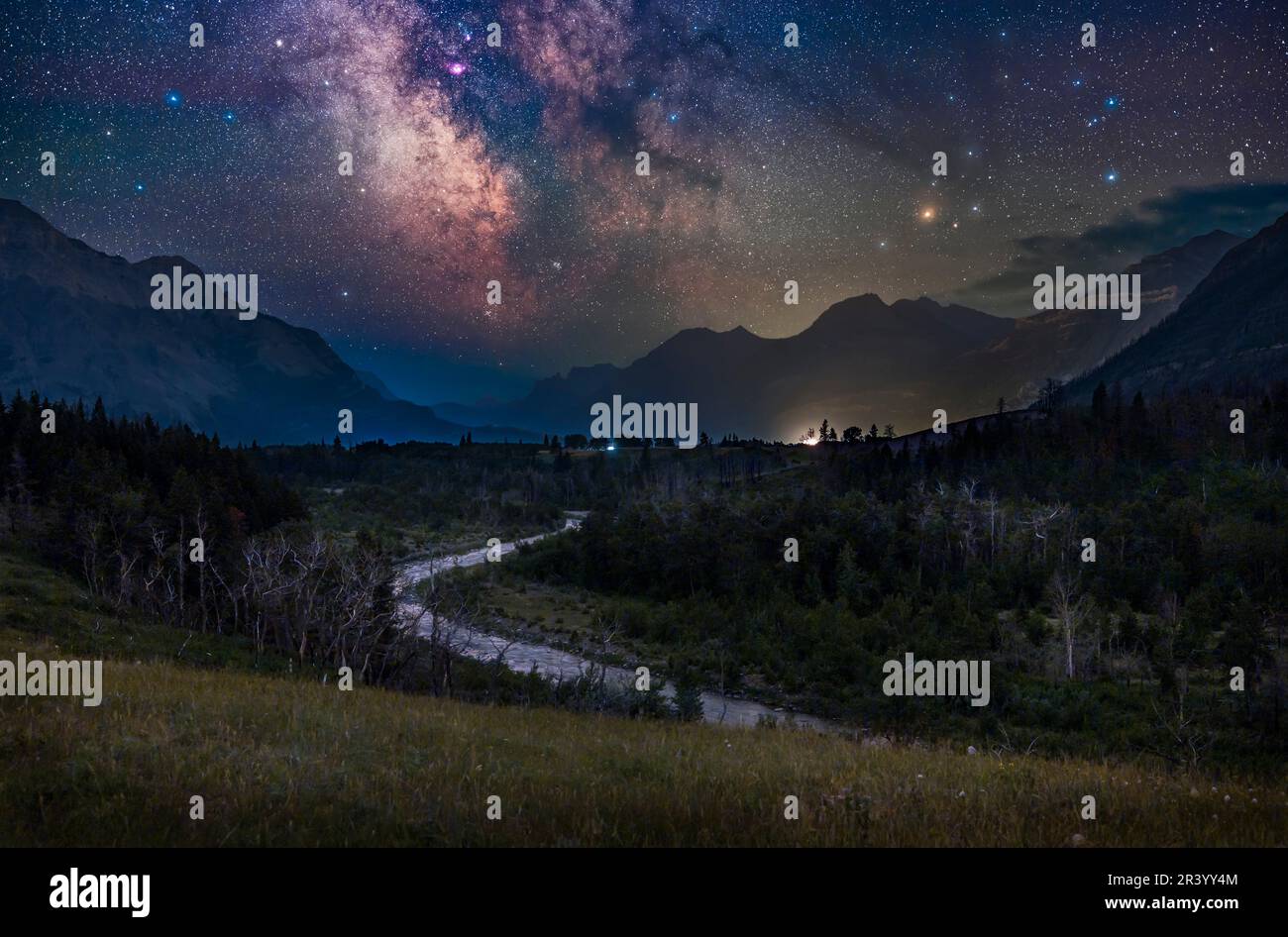 Der galaktische Kern der nördlichen sommerlichen Milchstraße über Blakiston Valley, Alberta, Kanada. Stockfotohttps://www.alamy.de/image-license-details/?v=1https://www.alamy.de/der-galaktische-kern-der-nordlichen-sommerlichen-milchstrasse-uber-blakiston-valley-alberta-kanada-image553189748.html
RF2R3YY4M–Der galaktische Kern der nördlichen sommerlichen Milchstraße über Blakiston Valley, Alberta, Kanada.
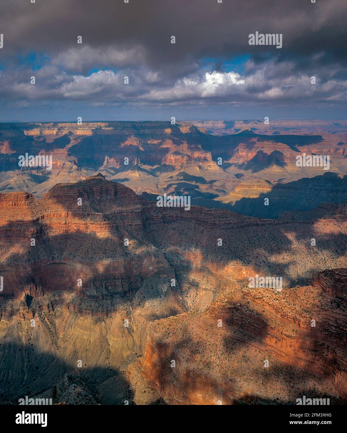 Sagittarius Ridge, Point Sublime, North Rim, Grand Canyon National Park, Arizona Stockfotohttps://www.alamy.de/image-license-details/?v=1https://www.alamy.de/sagittarius-ridge-point-sublime-north-rim-grand-canyon-national-park-arizona-image425428684.html
RF2FM3XHG–Sagittarius Ridge, Point Sublime, North Rim, Grand Canyon National Park, Arizona
 Sagittarius Ridge, Point Sublime, North Rim, Grand Canyon National Park, Arizona Stockfotohttps://www.alamy.de/image-license-details/?v=1https://www.alamy.de/sagittarius-ridge-point-sublime-north-rim-grand-canyon-national-park-arizona-image425428681.html
RF2FM3XHD–Sagittarius Ridge, Point Sublime, North Rim, Grand Canyon National Park, Arizona