Ord becken Stockfotos & Bilder
 Froghole-Schlucht mit Felsbrocken von Devon Konglomerat Stockfotohttps://www.alamy.de/image-license-details/?v=1https://www.alamy.de/stockfoto-froghole-schlucht-mit-felsbrocken-von-devon-konglomerat-122806212.html
RMH3P8G4–Froghole-Schlucht mit Felsbrocken von Devon Konglomerat
 Mount Ord Road (FS 626), blühender Brittlebush, über Cottonwood Basin, Mazatzal Mountains, Tonto National Forest, Arizona, USA Stockfotohttps://www.alamy.de/image-license-details/?v=1https://www.alamy.de/mount-ord-road-fs-626-bluhender-brittlebush-uber-cottonwood-basin-mazatzal-mountains-tonto-national-forest-arizona-usa-image456473069.html
RF2HEJ41H–Mount Ord Road (FS 626), blühender Brittlebush, über Cottonwood Basin, Mazatzal Mountains, Tonto National Forest, Arizona, USA
 Globus Mallow Blumen bedecken den Hügel entlang des Highway 188 in der Nähe des Punkin Center mit Mount Ord im Hintergrund. Arizona. Stockfotohttps://www.alamy.de/image-license-details/?v=1https://www.alamy.de/globus-mallow-blumen-bedecken-den-hugel-entlang-des-highway-188-in-der-nahe-des-punkin-center-mit-mount-ord-im-hintergrund-arizona-image597656778.html
RF2WM9H8X–Globus Mallow Blumen bedecken den Hügel entlang des Highway 188 in der Nähe des Punkin Center mit Mount Ord im Hintergrund. Arizona.
 Eine Herde Schafe grasen auf den sanften Hügeln des Fort Ord National Monument 26. April 2011 in der Nähe von alten Hilltown, Monterey County, Kalifornien. Stockfotohttps://www.alamy.de/image-license-details/?v=1https://www.alamy.de/stockfoto-eine-herde-schafe-grasen-auf-den-sanften-hugeln-des-fort-ord-national-monument-26-april-2011-in-der-nahe-von-alten-hilltown-monterey-county-kalifornien-126112266.html
RMH94WDE–Eine Herde Schafe grasen auf den sanften Hügeln des Fort Ord National Monument 26. April 2011 in der Nähe von alten Hilltown, Monterey County, Kalifornien.
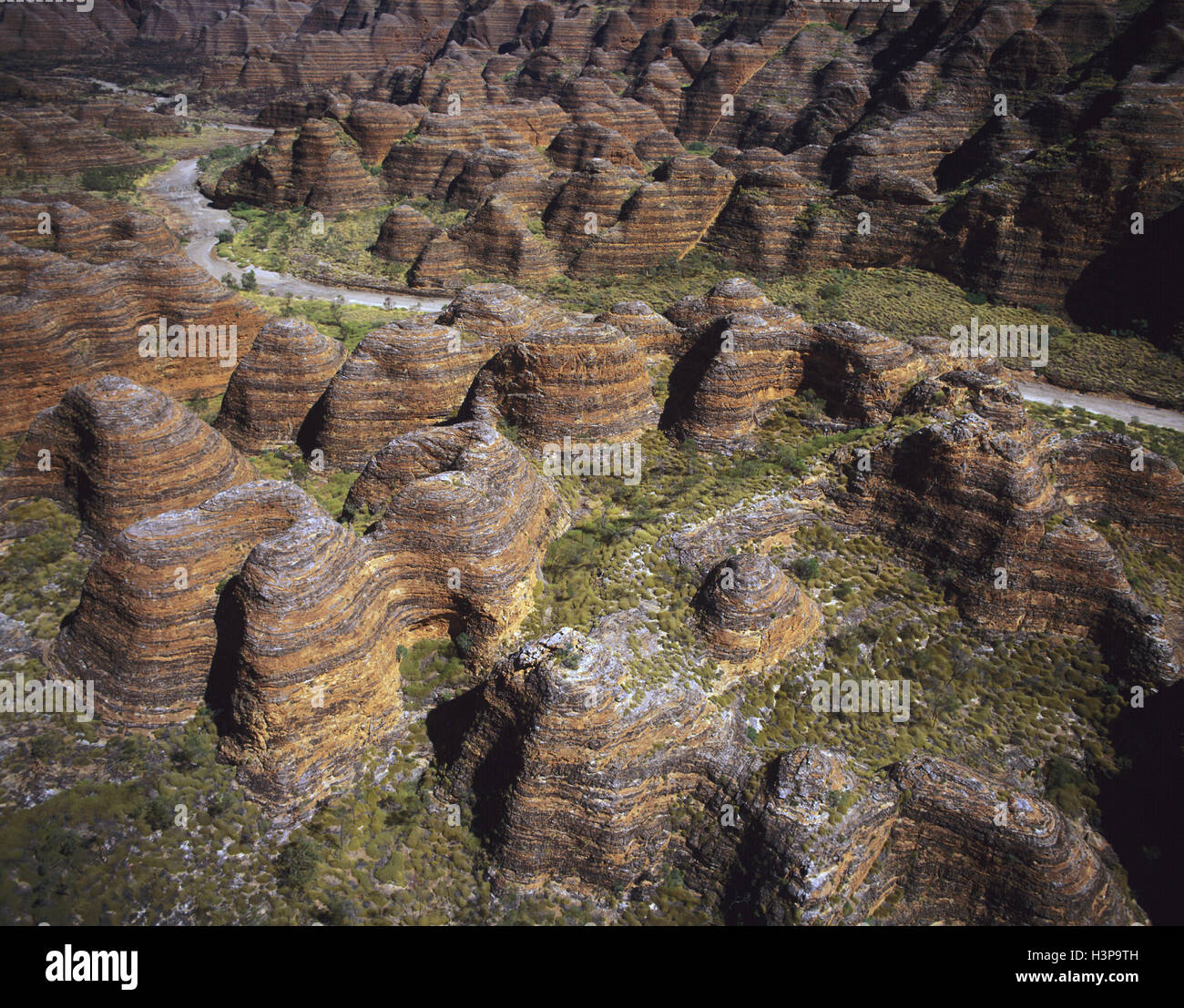 Bungle Bungle Range aus der Luft. Stockfotohttps://www.alamy.de/image-license-details/?v=1https://www.alamy.de/stockfoto-bungle-bungle-range-aus-der-luft-122807233.html
RMH3P9TH–Bungle Bungle Range aus der Luft.
 Mazatzal Mountains, blühender Brittlebush, Cottonwood Basin in der Ferne, Blick von der Mount Ord Road (FS 626), Tonto National Forest, Arizona, USA Stockfotohttps://www.alamy.de/image-license-details/?v=1https://www.alamy.de/mazatzal-mountains-bluhender-brittlebush-cottonwood-basin-in-der-ferne-blick-von-der-mount-ord-road-fs-626-tonto-national-forest-arizona-usa-image456472717.html
RF2HEJ3H1–Mazatzal Mountains, blühender Brittlebush, Cottonwood Basin in der Ferne, Blick von der Mount Ord Road (FS 626), Tonto National Forest, Arizona, USA
 Die Hänge entlang des Highway 188 waren während der Superblüte von 2023 mit wilden Blumen bedeckt. Azizona. Stockfotohttps://www.alamy.de/image-license-details/?v=1https://www.alamy.de/die-hange-entlang-des-highway-188-waren-wahrend-der-superblute-von-2023-mit-wilden-blumen-bedeckt-azizona-image597657082.html
RF2WM9HKP–Die Hänge entlang des Highway 188 waren während der Superblüte von 2023 mit wilden Blumen bedeckt. Azizona.
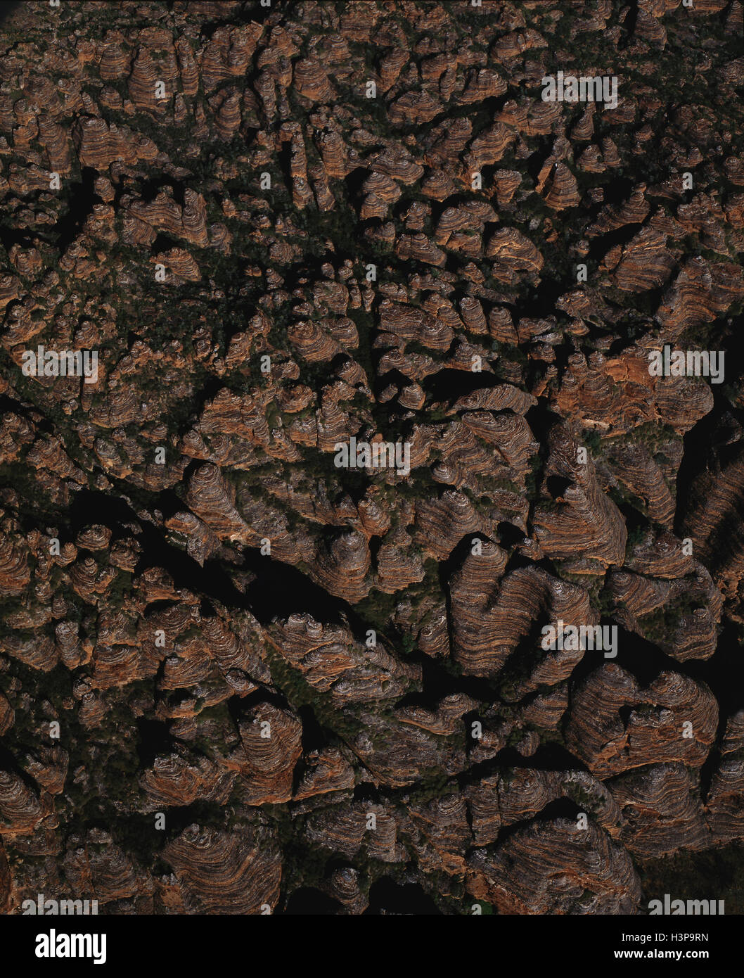 Bungle Bungle Range Stockfotohttps://www.alamy.de/image-license-details/?v=1https://www.alamy.de/stockfoto-bungle-bungle-range-122807209.html
RMH3P9RN–Bungle Bungle Range
 Mazatzal Mountains, blühender Brittlebush, über dem Cottonwood Basin, Blick von der Mount Ord Road (FS 626), Tonto National Forest, Arizona, USA Stockfotohttps://www.alamy.de/image-license-details/?v=1https://www.alamy.de/mazatzal-mountains-bluhender-brittlebush-uber-dem-cottonwood-basin-blick-von-der-mount-ord-road-fs-626-tonto-national-forest-arizona-usa-image456473156.html
RF2HEJ44M–Mazatzal Mountains, blühender Brittlebush, über dem Cottonwood Basin, Blick von der Mount Ord Road (FS 626), Tonto National Forest, Arizona, USA
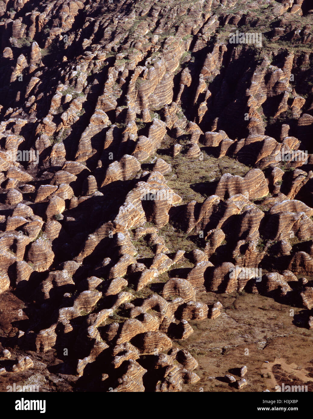 Bungle Bungle Range aus der Luft, Stockfotohttps://www.alamy.de/image-license-details/?v=1https://www.alamy.de/stockfoto-bungle-bungle-range-aus-der-luft-122732394.html
RMH3JXBP–Bungle Bungle Range aus der Luft,
 Northern Bungle Bungle Range in der Nähe von Froghole Schlucht, Stockfotohttps://www.alamy.de/image-license-details/?v=1https://www.alamy.de/stockfoto-northern-bungle-bungle-range-in-der-nahe-von-froghole-schlucht-122806190.html
RMH3P8FA–Northern Bungle Bungle Range in der Nähe von Froghole Schlucht,
 Bungle Bungle Range Stockfotohttps://www.alamy.de/image-license-details/?v=1https://www.alamy.de/stockfoto-bungle-bungle-range-122806198.html
RMH3P8FJ–Bungle Bungle Range
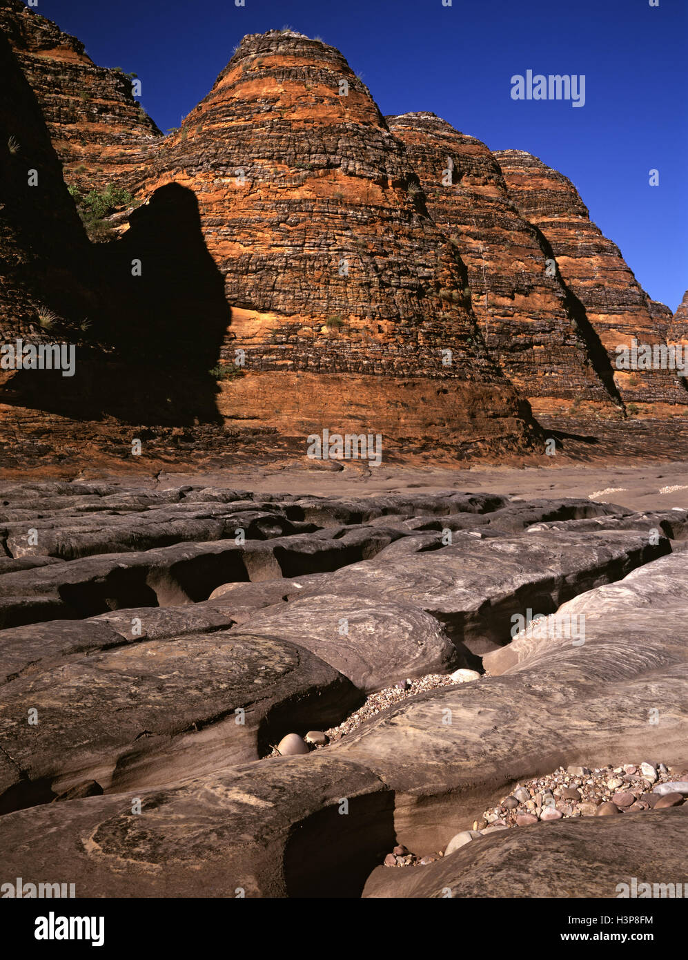 Dry Piccaninny Creek Mäandern durch Bienenstock Formationen Stockfotohttps://www.alamy.de/image-license-details/?v=1https://www.alamy.de/stockfoto-dry-piccaninny-creek-maandern-durch-bienenstock-formationen-122806200.html
RMH3P8FM–Dry Piccaninny Creek Mäandern durch Bienenstock Formationen
 Northern Bungle Bungle Range in der Nähe von Froghole Schlucht, Stockfotohttps://www.alamy.de/image-license-details/?v=1https://www.alamy.de/stockfoto-northern-bungle-bungle-range-in-der-nahe-von-froghole-schlucht-122806195.html
RMH3P8FF–Northern Bungle Bungle Range in der Nähe von Froghole Schlucht,
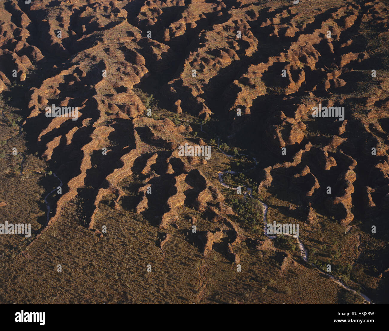 Bungle Bungle Range aus der Luft, Stockfotohttps://www.alamy.de/image-license-details/?v=1https://www.alamy.de/stockfoto-bungle-bungle-range-aus-der-luft-122732397.html
RMH3JXBW–Bungle Bungle Range aus der Luft,
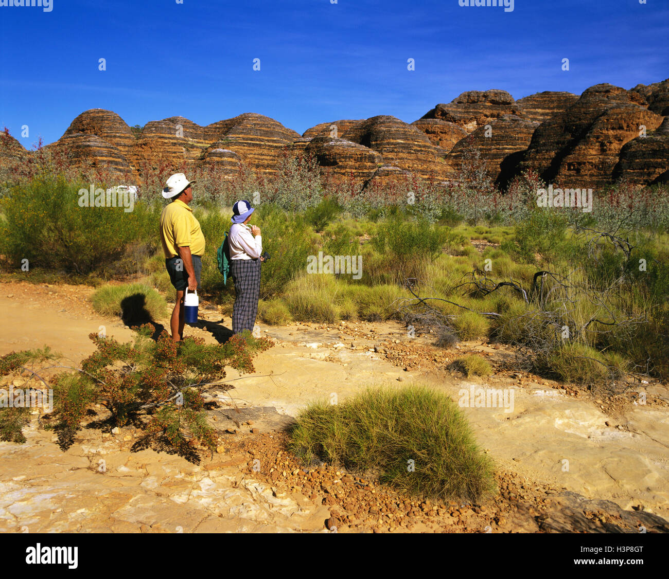 Touristen und die Bungle Bungle Range. Stockfotohttps://www.alamy.de/image-license-details/?v=1https://www.alamy.de/stockfoto-touristen-und-die-bungle-bungle-range-122806232.html
RMH3P8GT–Touristen und die Bungle Bungle Range.
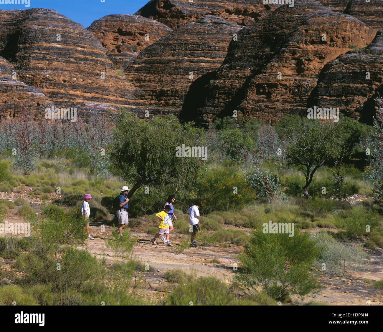 Touristen, die zu Fuß in die Bungle Bungle Range. Stockfotohttps://www.alamy.de/image-license-details/?v=1https://www.alamy.de/stockfoto-touristen-die-zu-fuss-in-die-bungle-bungle-range-122806240.html
RMH3P8H4–Touristen, die zu Fuß in die Bungle Bungle Range.
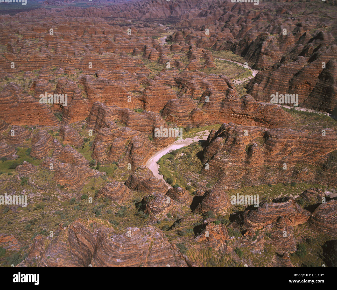 Bungle Bungle Range aus der Luft. Stockfotohttps://www.alamy.de/image-license-details/?v=1https://www.alamy.de/stockfoto-bungle-bungle-range-aus-der-luft-122732399.html
RMH3JXBY–Bungle Bungle Range aus der Luft.
 Wickhams Grevillea (Acacia sp.) Stockfotohttps://www.alamy.de/image-license-details/?v=1https://www.alamy.de/stockfoto-wickhams-grevillea-acacia-sp-122806176.html
RMH3P8ET–Wickhams Grevillea (Acacia sp.)
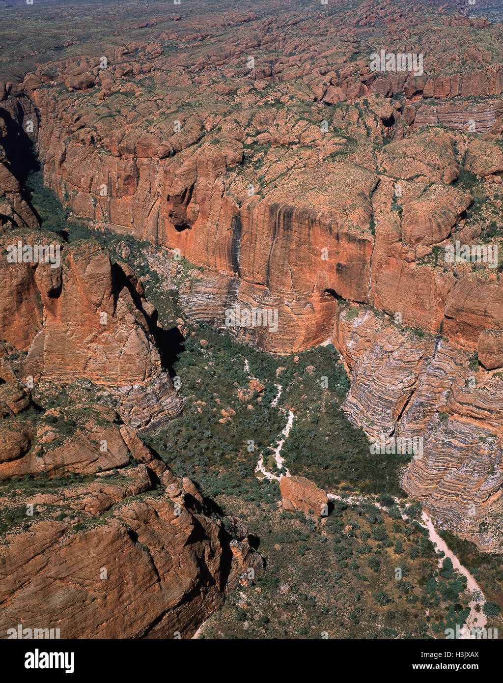 Bungle Bungle Range, Luftaufnahme. Stockfotohttps://www.alamy.de/image-license-details/?v=1https://www.alamy.de/stockfoto-bungle-bungle-range-luftaufnahme-122732370.html
RMH3JXAX–Bungle Bungle Range, Luftaufnahme.
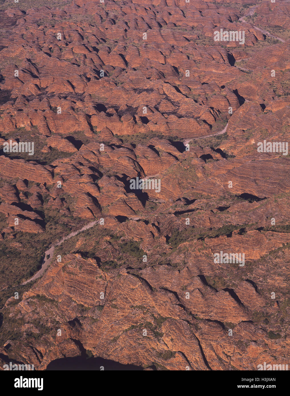 Bungle Bungle Range, Luftaufnahme. Stockfotohttps://www.alamy.de/image-license-details/?v=1https://www.alamy.de/stockfoto-bungle-bungle-range-luftaufnahme-122732365.html
RMH3JXAN–Bungle Bungle Range, Luftaufnahme.
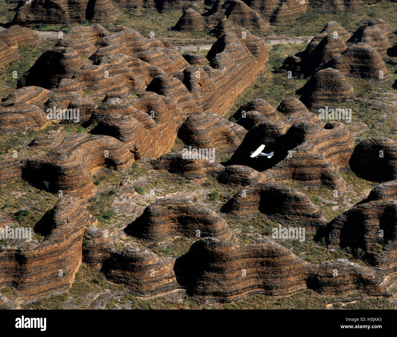 Bungle Bungle Range und ein leichtes Flugzeug. Stockfotohttps://www.alamy.de/image-license-details/?v=1https://www.alamy.de/stockfoto-bungle-bungle-range-und-ein-leichtes-flugzeug-122732347.html
RMH3JXA3–Bungle Bungle Range und ein leichtes Flugzeug.
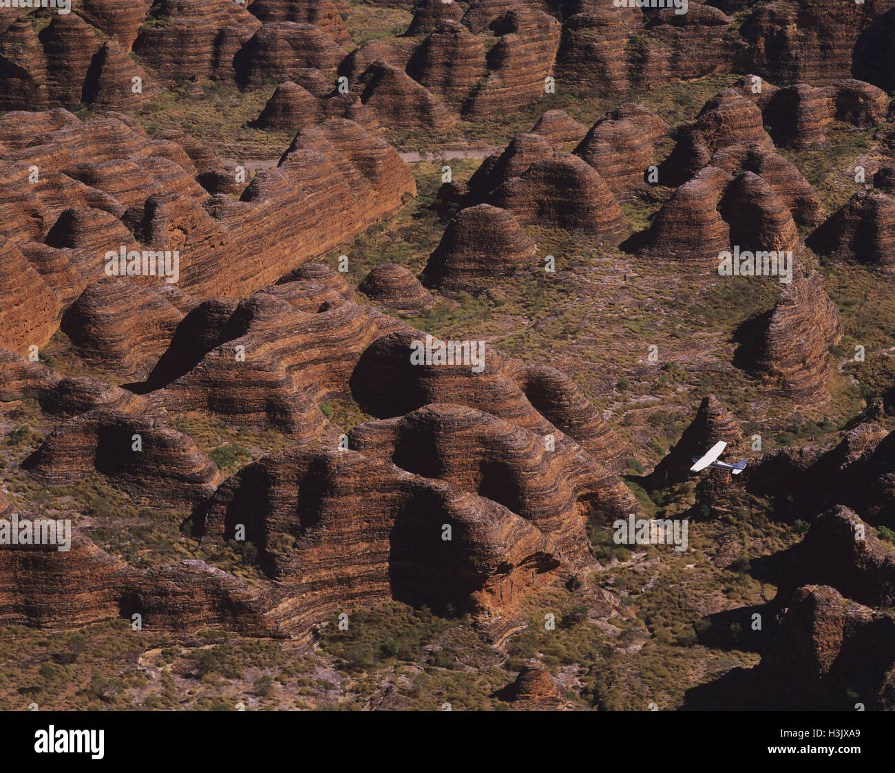 Leichte Flugzeuge über die Bungle Bungle Range fliegen, Stockfotohttps://www.alamy.de/image-license-details/?v=1https://www.alamy.de/stockfoto-leichte-flugzeuge-uber-die-bungle-bungle-range-fliegen-122732353.html
RMH3JXA9–Leichte Flugzeuge über die Bungle Bungle Range fliegen,
 Bienenstock Felsformationen aus der Luft mit Rauch von einem Buschfeuer. Der Park, der von einer 53 km langen Strecke nur für Fahrzeuge mit Allradantrieb erreicht wird, umfasst 2397 qm. Stockfotohttps://www.alamy.de/image-license-details/?v=1https://www.alamy.de/stockfoto-bienenstock-felsformationen-aus-der-luft-mit-rauch-von-einem-buschfeuer-der-park-der-von-einer-53-km-langen-strecke-nur-fur-fahrzeuge-mit-allradantrieb-erreicht-wird-umfasst-2397-qm-165105373.html
RMKGH5GD–Bienenstock Felsformationen aus der Luft mit Rauch von einem Buschfeuer. Der Park, der von einer 53 km langen Strecke nur für Fahrzeuge mit Allradantrieb erreicht wird, umfasst 2397 qm.
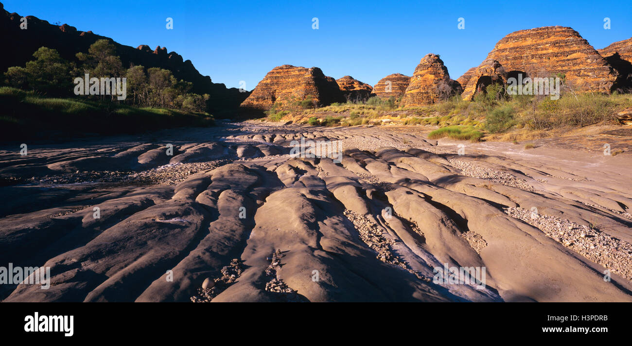 Dry Piccaninny Creek Mäandern durch Sandstein Bienenstöcke, Stockfotohttps://www.alamy.de/image-license-details/?v=1https://www.alamy.de/stockfoto-dry-piccaninny-creek-maandern-durch-sandstein-bienenstocke-122810335.html
RMH3PDRB–Dry Piccaninny Creek Mäandern durch Sandstein Bienenstöcke,
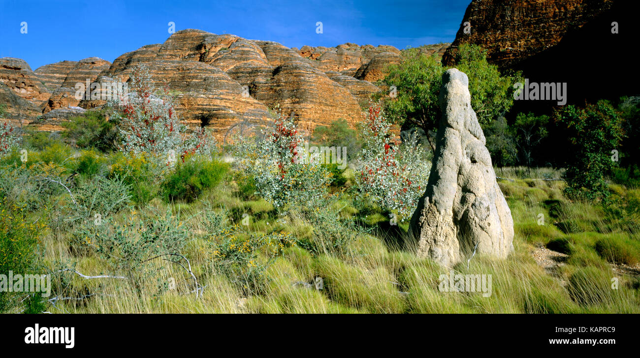 Wickhams Grevillea grevillea (wickhamii) und Kehllappen mit beehive Land Ausbildung hinter sich. Purnululu National Park, Kimberley Region, Western Australia Stockfotohttps://www.alamy.de/image-license-details/?v=1https://www.alamy.de/stockfoto-wickhams-grevillea-grevillea-wickhamii-und-kehllappen-mit-beehive-land-ausbildung-hinter-sich-purnululu-national-park-kimberley-region-western-australia-161541193.html
RMKAPRC9–Wickhams Grevillea grevillea (wickhamii) und Kehllappen mit beehive Land Ausbildung hinter sich. Purnululu National Park, Kimberley Region, Western Australia