Schnellfilter:
Namafjall hverir Stockfotos & Bilder
 Namafjall Hverir geotermal Area, Island Stockfotohttps://www.alamy.de/image-license-details/?v=1https://www.alamy.de/namafjall-hverir-geotermal-area-island-image431868323.html
RM2G2H8CK–Namafjall Hverir geotermal Area, Island
 Namajfall Schlamm Topf oder Schlammbad, Namafjall, Hverir, Hverarönd, Myvatn, North Island Stockfotohttps://www.alamy.de/image-license-details/?v=1https://www.alamy.de/stockfoto-namajfall-schlamm-topf-oder-schlammbad-namafjall-hverir-hverarond-myvatn-north-island-71339936.html
RME41PPT–Namajfall Schlamm Topf oder Schlammbad, Namafjall, Hverir, Hverarönd, Myvatn, North Island
 Namafjall Hverir, in der Nähe von Myvatn, Island Stockfotohttps://www.alamy.de/image-license-details/?v=1https://www.alamy.de/stockfoto-namafjall-hverir-in-der-nahe-von-myvatn-island-111585285.html
RMGDF44N–Namafjall Hverir, in der Nähe von Myvatn, Island
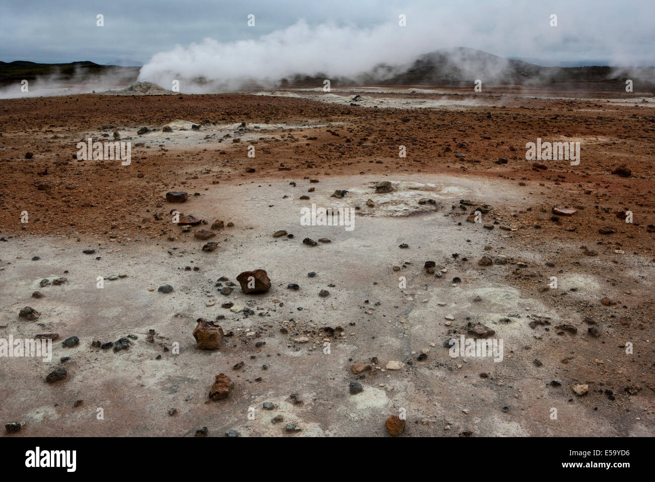 Namafjall Hverir - Myvatn Region North Central Island Stockfotohttps://www.alamy.de/image-license-details/?v=1https://www.alamy.de/stockfoto-namafjall-hverir-myvatn-region-north-central-island-72133858.html
RME59YD6–Namafjall Hverir - Myvatn Region North Central Island
 Dampfender Schlammvulkan, Schlammkuppel im Hochtemperaturgebiet Namafjall Hverir Geothermie Gebiet in der Region Myvatn, Skutustaoir, Norourland eystra Stockfotohttps://www.alamy.de/image-license-details/?v=1https://www.alamy.de/dampfender-schlammvulkan-schlammkuppel-im-hochtemperaturgebiet-namafjall-hverir-geothermie-gebiet-in-der-region-myvatn-skutustaoir-norourland-eystra-image385282293.html
RF2DAR3DW–Dampfender Schlammvulkan, Schlammkuppel im Hochtemperaturgebiet Namafjall Hverir Geothermie Gebiet in der Region Myvatn, Skutustaoir, Norourland eystra
 Island, Nordosten Islands Namaskard. Namafjall (aka Hverir) geothermischen Feldern. Stockfotohttps://www.alamy.de/image-license-details/?v=1https://www.alamy.de/stockfoto-island-nordosten-islands-namaskard-namafjall-aka-hverir-geothermischen-feldern-87422247.html
RMF26BY3–Island, Nordosten Islands Namaskard. Namafjall (aka Hverir) geothermischen Feldern.
 Namafjall hverir geothermische Gebiet. Landschaft, die Pools der kochenden Schlamm und heißen Quellen. Touristische und natürlichen Attraktionen in Island Stockfotohttps://www.alamy.de/image-license-details/?v=1https://www.alamy.de/namafjall-hverir-geothermische-gebiet-landschaft-die-pools-der-kochenden-schlamm-und-heissen-quellen-touristische-und-naturlichen-attraktionen-in-island-image218911653.html
RFPM4819–Namafjall hverir geothermische Gebiet. Landschaft, die Pools der kochenden Schlamm und heißen Quellen. Touristische und natürlichen Attraktionen in Island
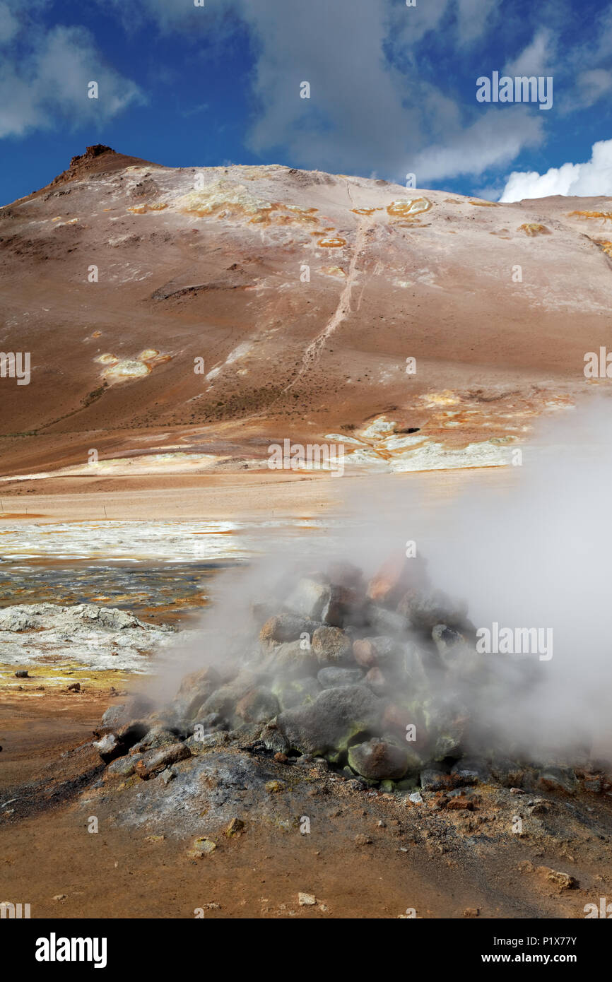 Fumarole emitting Schwefelsäure Gase, Namafjall Hverir geothermale Region, North Island, Island Stockfotohttps://www.alamy.de/image-license-details/?v=1https://www.alamy.de/fumarole-emitting-schwefelsaure-gase-namafjall-hverir-geothermale-region-north-island-island-image207715535.html
RMP1X77Y–Fumarole emitting Schwefelsäure Gase, Namafjall Hverir geothermale Region, North Island, Island
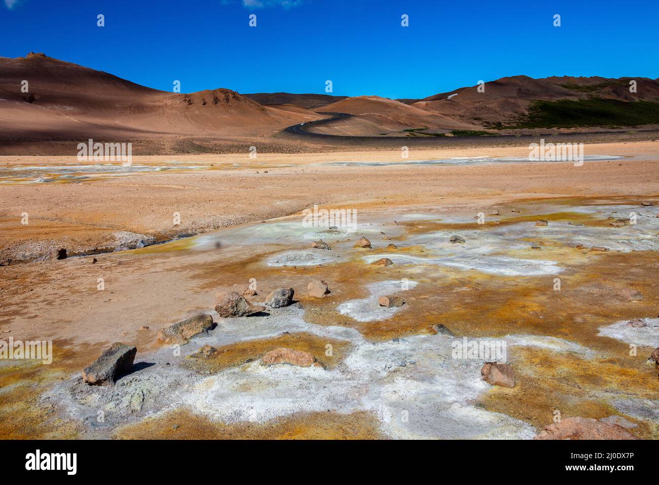 Namafjall Hverir geothermale Region Island. Stockfotohttps://www.alamy.de/image-license-details/?v=1https://www.alamy.de/namafjall-hverir-geothermale-region-island-image464985914.html
RF2J0DX7P–Namafjall Hverir geothermale Region Island.
 Schlammrisse, Namafjall Hverir, Island, Polarregionen Stockfotohttps://www.alamy.de/image-license-details/?v=1https://www.alamy.de/schlammrisse-namafjall-hverir-island-polarregionen-image545632473.html
RF2PKKKP1–Schlammrisse, Namafjall Hverir, Island, Polarregionen
 Island. Dampfende Pools und Schlammtöpfe. Die Namafjall (Hverir) Geothermie Gebiet. Stockfotohttps://www.alamy.de/image-license-details/?v=1https://www.alamy.de/island-dampfende-pools-und-schlammtopfe-die-namafjall-hverir-geothermie-gebiet-image369435206.html
RF2CD16AE–Island. Dampfende Pools und Schlammtöpfe. Die Namafjall (Hverir) Geothermie Gebiet.
 Námafjall Hverir Geothermiegebiet, Island Stockfotohttps://www.alamy.de/image-license-details/?v=1https://www.alamy.de/stockfoto-nmafjall-hverir-geothermiegebiet-island-160063166.html
RMK8BE5J–Námafjall Hverir Geothermiegebiet, Island
 Námafjall Hverir Aussichtspunkt am Myvatn-See in Nordisland. Kochende Schlammbecken geben Schwefeldampf vor einem orangen und braunen Berghintergrund ab. Stockfotohttps://www.alamy.de/image-license-details/?v=1https://www.alamy.de/nmafjall-hverir-aussichtspunkt-am-myvatn-see-in-nordisland-kochende-schlammbecken-geben-schwefeldampf-vor-einem-orangen-und-braunen-berghintergrund-ab-image381148413.html
RM2D42PK9–Námafjall Hverir Aussichtspunkt am Myvatn-See in Nordisland. Kochende Schlammbecken geben Schwefeldampf vor einem orangen und braunen Berghintergrund ab.
 Námafjall Hverir geothermals Stockfotohttps://www.alamy.de/image-license-details/?v=1https://www.alamy.de/stockfoto-nmafjall-hverir-geothermals-122601907.html
RMH3CYYF–Námafjall Hverir geothermals
 Námafjall, Namafjall, Hverir bei Myvatn, Hochtemperaturgebiet, Geothermalgebiet, Hverarönd, Thermalquellen, Thermalquelle. Im Hochtemperaturgebiet Stockfotohttps://www.alamy.de/image-license-details/?v=1https://www.alamy.de/nmafjall-namafjall-hverir-bei-myvatn-hochtemperaturgebiet-geothermalgebiet-hverarond-thermalquellen-thermalquelle-im-hochtemperaturgebiet-image341906758.html
RM2AT75FJ–Námafjall, Namafjall, Hverir bei Myvatn, Hochtemperaturgebiet, Geothermalgebiet, Hverarönd, Thermalquellen, Thermalquelle. Im Hochtemperaturgebiet
 Fumarole an Hverir, Namafjall, Island Stockfotohttps://www.alamy.de/image-license-details/?v=1https://www.alamy.de/fumarole-an-hverir-namafjall-island-image227976825.html
RMR6W6ND–Fumarole an Hverir, Namafjall, Island
 Namafjall Hverir geothermale Region Island. Stockfotohttps://www.alamy.de/image-license-details/?v=1https://www.alamy.de/namafjall-hverir-geothermale-region-island-image220278279.html
RFPPAF5B–Namafjall Hverir geothermale Region Island.
 Sonnenaufgang an der geothermischen Bereich Namafjall Hverir. Stockfotohttps://www.alamy.de/image-license-details/?v=1https://www.alamy.de/sonnenaufgang-an-der-geothermischen-bereich-namafjall-hverir-image186959839.html
RMMT4N53–Sonnenaufgang an der geothermischen Bereich Namafjall Hverir.
 Eine dampfende Fumarole in den hochaktiven geothermalen Gebiet am Námafjall (hverir), in der Nähe von Mývatn in North-east Iceland Stockfotohttps://www.alamy.de/image-license-details/?v=1https://www.alamy.de/eine-dampfende-fumarole-in-den-hochaktiven-geothermalen-gebiet-am-nmafjall-hverir-in-der-nahe-von-mvatn-in-north-east-iceland-image255460821.html
RMTRH6TN–Eine dampfende Fumarole in den hochaktiven geothermalen Gebiet am Námafjall (hverir), in der Nähe von Mývatn in North-east Iceland
 Námafjall Hverir Geotermal Bereich Stockfotohttps://www.alamy.de/image-license-details/?v=1https://www.alamy.de/nmafjall-hverir-geotermal-bereich-image151432556.html
RMJPA9NG–Námafjall Hverir Geotermal Bereich
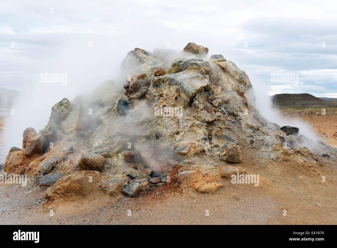 Solfatara in Namfjall Hverir Myvatn Namafjall Hverir, Hverarönd, Myvatn-Gebiet, North Island Stockfotohttps://www.alamy.de/image-license-details/?v=1https://www.alamy.de/stockfoto-solfatara-in-namfjall-hverir-myvatn-namafjall-hverir-hverarond-myvatn-gebiet-north-island-71340276.html
RME41R70–Solfatara in Namfjall Hverir Myvatn Namafjall Hverir, Hverarönd, Myvatn-Gebiet, North Island
 Namafjall Hverir, in der Nähe von Myvatn, Island Stockfotohttps://www.alamy.de/image-license-details/?v=1https://www.alamy.de/stockfoto-namafjall-hverir-in-der-nahe-von-myvatn-island-111585286.html
RMGDF44P–Namafjall Hverir, in der Nähe von Myvatn, Island
 Rissige Erde am Namafjall Hverir - Myvatn Region North Central Island Stockfotohttps://www.alamy.de/image-license-details/?v=1https://www.alamy.de/stockfoto-rissige-erde-am-namafjall-hverir-myvatn-region-north-central-island-58140159.html
RMDAGEA7–Rissige Erde am Namafjall Hverir - Myvatn Region North Central Island
 Fumarole mit Rauch im Namafjall Hverir Geothermie-Gebiet, Island Stockfotohttps://www.alamy.de/image-license-details/?v=1https://www.alamy.de/fumarole-mit-rauch-im-namafjall-hverir-geothermie-gebiet-island-image482757023.html
RF2K1BDE7–Fumarole mit Rauch im Namafjall Hverir Geothermie-Gebiet, Island
 Die geothermische Bereich Namafjall/Hverir in der Nähe von Mývatn bei Dämmerung im Norden von Island. Stockfotohttps://www.alamy.de/image-license-details/?v=1https://www.alamy.de/die-geothermische-bereich-namafjallhverir-in-der-nahe-von-mvatn-bei-dammerung-im-norden-von-island-image220542714.html
RFPPPGDE–Die geothermische Bereich Namafjall/Hverir in der Nähe von Mývatn bei Dämmerung im Norden von Island.
 Island geothermische Energie. Namafjall-Bereich im Feld von hverir. Landschaft, die Pools der kochenden Schlamm und heißen Quellen. Touristische und natürlichen Attraktionen Stockfotohttps://www.alamy.de/image-license-details/?v=1https://www.alamy.de/island-geothermische-energie-namafjall-bereich-im-feld-von-hverir-landschaft-die-pools-der-kochenden-schlamm-und-heissen-quellen-touristische-und-naturlichen-attraktionen-image222577639.html
RFPX381B–Island geothermische Energie. Namafjall-Bereich im Feld von hverir. Landschaft, die Pools der kochenden Schlamm und heißen Quellen. Touristische und natürlichen Attraktionen
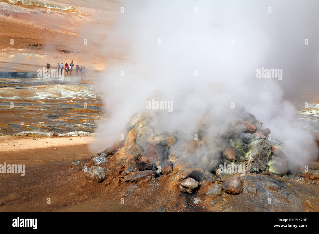 Fumarole emitting Schwefelsäure Gase, Namafjall Hverir geothermale Region, North Island, Island Stockfotohttps://www.alamy.de/image-license-details/?v=1https://www.alamy.de/fumarole-emitting-schwefelsaure-gase-namafjall-hverir-geothermale-region-north-island-island-image207715803.html
RMP1X7HF–Fumarole emitting Schwefelsäure Gase, Namafjall Hverir geothermale Region, North Island, Island
 Namafjall Hverir geothermale Region Island. Stockfotohttps://www.alamy.de/image-license-details/?v=1https://www.alamy.de/namafjall-hverir-geothermale-region-island-image464985517.html
RF2J0DWNH–Namafjall Hverir geothermale Region Island.
 Geothermie, Namafjall Hverir, Island, Polarregionen Stockfotohttps://www.alamy.de/image-license-details/?v=1https://www.alamy.de/geothermie-namafjall-hverir-island-polarregionen-image545632371.html
RF2PKKKJB–Geothermie, Namafjall Hverir, Island, Polarregionen
 Island. Dampfende Pools und Schlammtöpfe. Die Namafjall (Hverir) Geothermie Gebiet. Stockfotohttps://www.alamy.de/image-license-details/?v=1https://www.alamy.de/island-dampfende-pools-und-schlammtopfe-die-namafjall-hverir-geothermie-gebiet-image369435212.html
RF2CD16AM–Island. Dampfende Pools und Schlammtöpfe. Die Namafjall (Hverir) Geothermie Gebiet.
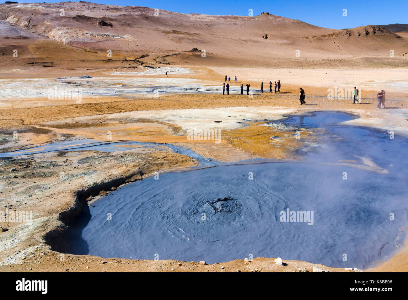 Sprudelnder Schlammkessel im Geothermiegebiet Námafjall Hverir, Island Stockfotohttps://www.alamy.de/image-license-details/?v=1https://www.alamy.de/stockfoto-sprudelnder-schlammkessel-im-geothermiegebiet-nmafjall-hverir-island-160063014.html
RMK8BE06–Sprudelnder Schlammkessel im Geothermiegebiet Námafjall Hverir, Island
 Námafjall Berg und Hverir Geothermie Gebiet in der Nähe des Lake Myvatn in Nordisland. Besucher wandern zwischen den grau kochenden Schlammbecken und der orangefarbenen Landschaft. Stockfotohttps://www.alamy.de/image-license-details/?v=1https://www.alamy.de/nmafjall-berg-und-hverir-geothermie-gebiet-in-der-nahe-des-lake-myvatn-in-nordisland-besucher-wandern-zwischen-den-grau-kochenden-schlammbecken-und-der-orangefarbenen-landschaft-image381146681.html
RM2D42MDD–Námafjall Berg und Hverir Geothermie Gebiet in der Nähe des Lake Myvatn in Nordisland. Besucher wandern zwischen den grau kochenden Schlammbecken und der orangefarbenen Landschaft.
 Námafjall Hverir Fumerol geothermals Stockfotohttps://www.alamy.de/image-license-details/?v=1https://www.alamy.de/stockfoto-nmafjall-hverir-fumerol-geothermals-122601903.html
RMH3CYYB–Námafjall Hverir Fumerol geothermals
 Námafjall, Namafjall, Hverir bei Myvatn, Hochtemperaturgebiet, Geothermalgebiet, Hverarönd, Thermalquellen, Thermalquelle. Im Hochtemperaturgebiet Stockfotohttps://www.alamy.de/image-license-details/?v=1https://www.alamy.de/nmafjall-namafjall-hverir-bei-myvatn-hochtemperaturgebiet-geothermalgebiet-hverarond-thermalquellen-thermalquelle-im-hochtemperaturgebiet-image341906915.html
RM2AT75N7–Námafjall, Namafjall, Hverir bei Myvatn, Hochtemperaturgebiet, Geothermalgebiet, Hverarönd, Thermalquellen, Thermalquelle. Im Hochtemperaturgebiet
 Geothermische Bereich Hverir, Namafjall, Island Stockfotohttps://www.alamy.de/image-license-details/?v=1https://www.alamy.de/geothermische-bereich-hverir-namafjall-island-image227926714.html
RMR6PXRP–Geothermische Bereich Hverir, Namafjall, Island
 Ringstraße (Route 1) in Nordisland zwischen Námafjall Hverir und Stuðlagil Canyon Stockfotohttps://www.alamy.de/image-license-details/?v=1https://www.alamy.de/ringstrasse-route-1-in-nordisland-zwischen-nmafjall-hverir-und-stulagil-canyon-image594005838.html
RM2WEB8E6–Ringstraße (Route 1) in Nordisland zwischen Námafjall Hverir und Stuðlagil Canyon
 Hverarondor Hverir geothermische Gebiet in Island Stockfotohttps://www.alamy.de/image-license-details/?v=1https://www.alamy.de/stockfoto-hverarondor-hverir-geothermische-gebiet-in-island-122949204.html
RMH40PY0–Hverarondor Hverir geothermische Gebiet in Island
 Eine dampfende Fumarole in den hochaktiven geothermalen Gebiet am Námafjall (hverir), in der Nähe von Mývatn in North-east Iceland Stockfotohttps://www.alamy.de/image-license-details/?v=1https://www.alamy.de/eine-dampfende-fumarole-in-den-hochaktiven-geothermalen-gebiet-am-nmafjall-hverir-in-der-nahe-von-mvatn-in-north-east-iceland-image255461548.html
RMTRH7PM–Eine dampfende Fumarole in den hochaktiven geothermalen Gebiet am Námafjall (hverir), in der Nähe von Mývatn in North-east Iceland
 Námafjall Hverir Geotermal Bereich Stockfotohttps://www.alamy.de/image-license-details/?v=1https://www.alamy.de/nmafjall-hverir-geotermal-bereich-image151432557.html
RMJPA9NH–Námafjall Hverir Geotermal Bereich
 Solfatara in Namfjall Hverir Myvatn Namafjall Hverir, Hverarönd, Myvatn-Gebiet, North Island Stockfotohttps://www.alamy.de/image-license-details/?v=1https://www.alamy.de/stockfoto-solfatara-in-namfjall-hverir-myvatn-namafjall-hverir-hverarond-myvatn-gebiet-north-island-71340164.html
RME41R30–Solfatara in Namfjall Hverir Myvatn Namafjall Hverir, Hverarönd, Myvatn-Gebiet, North Island
 Namafjall Hverir, in der Nähe von Myvatn, Island Stockfotohttps://www.alamy.de/image-license-details/?v=1https://www.alamy.de/stockfoto-namafjall-hverir-in-der-nahe-von-myvatn-island-111585284.html
RMGDF44M–Namafjall Hverir, in der Nähe von Myvatn, Island
 Dampfende Fumarolen am Namafjall Hverir - Myvatn Region North Central Island Stockfotohttps://www.alamy.de/image-license-details/?v=1https://www.alamy.de/stockfoto-dampfende-fumarolen-am-namafjall-hverir-myvatn-region-north-central-island-58137442.html
RMDAGAW6–Dampfende Fumarolen am Namafjall Hverir - Myvatn Region North Central Island
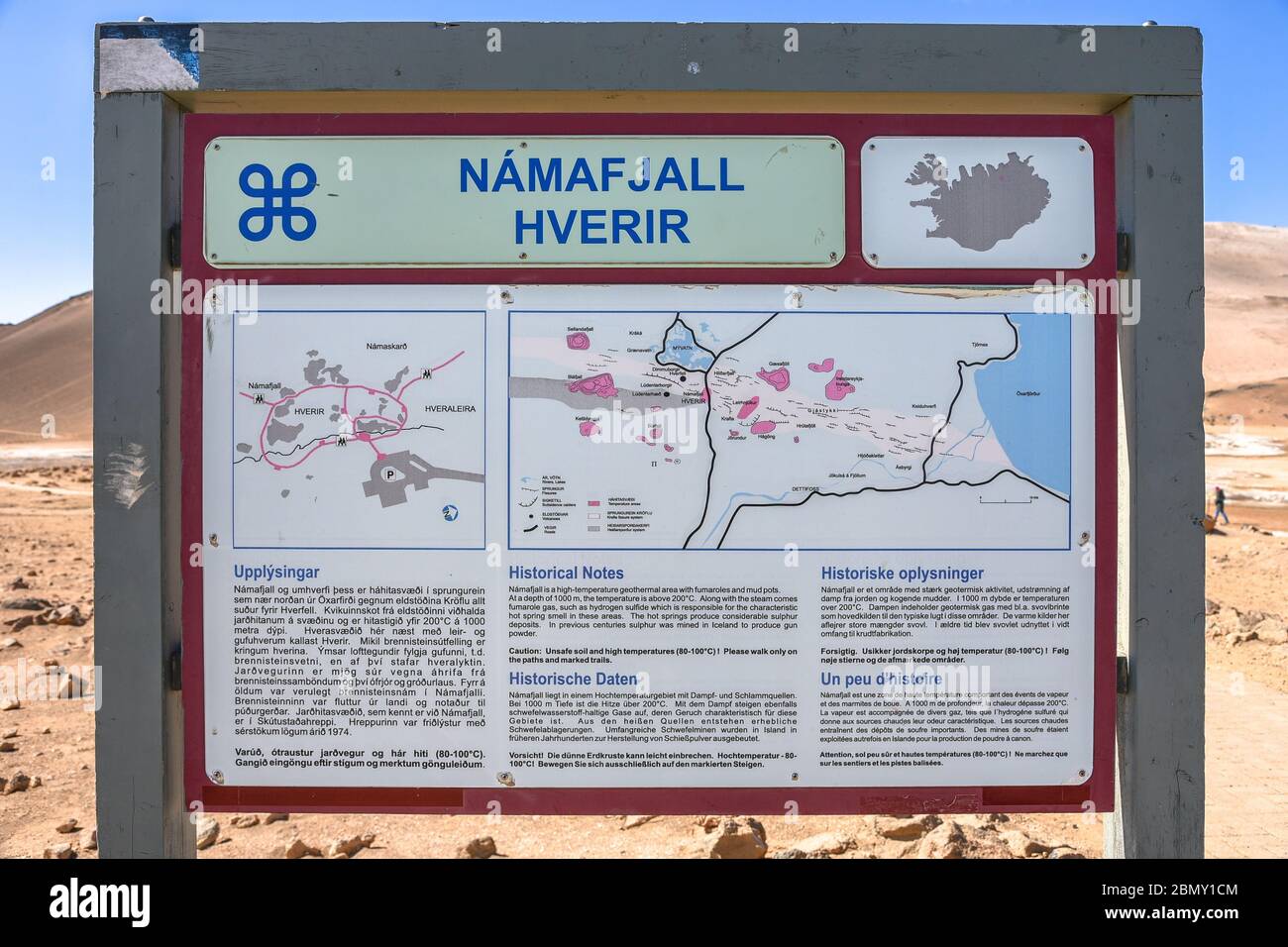 Eine Karte, die das Geothermiefeld Namafjall Hverir im Norden Islands zeigt Stockfotohttps://www.alamy.de/image-license-details/?v=1https://www.alamy.de/eine-karte-die-das-geothermiefeld-namafjall-hverir-im-norden-islands-zeigt-image357094324.html
RM2BMY1CM–Eine Karte, die das Geothermiefeld Namafjall Hverir im Norden Islands zeigt
 Die geothermische Bereich Namafjall/Hverir in der Nähe von Mývatn bei Dämmerung im Norden von Island. Stockfotohttps://www.alamy.de/image-license-details/?v=1https://www.alamy.de/die-geothermische-bereich-namafjallhverir-in-der-nahe-von-mvatn-bei-dammerung-im-norden-von-island-image220542542.html
RFPPPG7A–Die geothermische Bereich Namafjall/Hverir in der Nähe von Mývatn bei Dämmerung im Norden von Island.
 Namafjall - Geothermie Bereich im Feld von hverir. Landschaft, die Pools der kochenden Schlamm und heißen Quellen. Touristische und natürlichen Attraktionen in Island Stockfotohttps://www.alamy.de/image-license-details/?v=1https://www.alamy.de/namafjall-geothermie-bereich-im-feld-von-hverir-landschaft-die-pools-der-kochenden-schlamm-und-heissen-quellen-touristische-und-naturlichen-attraktionen-in-island-image218281689.html
RFPK3GEH–Namafjall - Geothermie Bereich im Feld von hverir. Landschaft, die Pools der kochenden Schlamm und heißen Quellen. Touristische und natürlichen Attraktionen in Island
 Risse im Schlamm, Namafjall Hverir geothermale Region, North Island, Island Stockfotohttps://www.alamy.de/image-license-details/?v=1https://www.alamy.de/risse-im-schlamm-namafjall-hverir-geothermale-region-north-island-island-image207716065.html
RMP1X7XW–Risse im Schlamm, Namafjall Hverir geothermale Region, North Island, Island
 Mt. Námafjall, geothermische Region Hverir, in der Nähe des Mývatn-Sees, Island Stockfotohttps://www.alamy.de/image-license-details/?v=1https://www.alamy.de/mt-nmafjall-geothermische-region-hverir-in-der-nahe-des-mvatn-sees-island-image560039526.html
RF2RF403J–Mt. Námafjall, geothermische Region Hverir, in der Nähe des Mývatn-Sees, Island
 Geothermie, Namafjall Hverir, Island, Polarregionen Stockfotohttps://www.alamy.de/image-license-details/?v=1https://www.alamy.de/geothermie-namafjall-hverir-island-polarregionen-image545632370.html
RF2PKKKJA–Geothermie, Namafjall Hverir, Island, Polarregionen
 Kochende Schlammloch in Nordisland Namafjall. Stockfotohttps://www.alamy.de/image-license-details/?v=1https://www.alamy.de/stockfoto-kochende-schlammloch-in-nordisland-namafjall-77824952.html
RMEEH6EG–Kochende Schlammloch in Nordisland Namafjall.
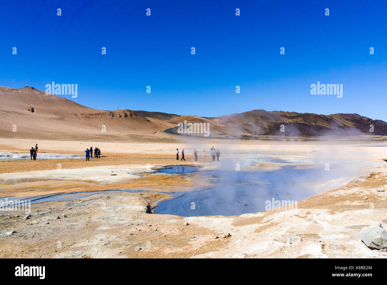 Námafjall Hverir Geothermiegebiet, Island Stockfotohttps://www.alamy.de/image-license-details/?v=1https://www.alamy.de/stockfoto-nmafjall-hverir-geothermiegebiet-island-160063084.html
RMK8BE2M–Námafjall Hverir Geothermiegebiet, Island
 Die Landschaft von Námafjall Berg und Hverir Geothermie Gebiet in der Nähe des Lake Myvatn in Nordisland. Der Boden ist geknackt und graue Schlammbecken sind zu sehen. Stockfotohttps://www.alamy.de/image-license-details/?v=1https://www.alamy.de/die-landschaft-von-nmafjall-berg-und-hverir-geothermie-gebiet-in-der-nahe-des-lake-myvatn-in-nordisland-der-boden-ist-geknackt-und-graue-schlammbecken-sind-zu-sehen-image381134262.html
RM2D424HX–Die Landschaft von Námafjall Berg und Hverir Geothermie Gebiet in der Nähe des Lake Myvatn in Nordisland. Der Boden ist geknackt und graue Schlammbecken sind zu sehen.
 Námafjall Hverir Fumerol geothermals Stockfotohttps://www.alamy.de/image-license-details/?v=1https://www.alamy.de/stockfoto-nmafjall-hverir-fumerol-geothermals-122601884.html
RMH3CYXM–Námafjall Hverir Fumerol geothermals
 Námafjall, Namafjall, Hverir bei Myvatn, Hochtemperaturgebiet, Geothermalgebiet, Hverarönd, Thermalquellen, Thermalquelle. Im Hochtemperaturgebiet Stockfotohttps://www.alamy.de/image-license-details/?v=1https://www.alamy.de/nmafjall-namafjall-hverir-bei-myvatn-hochtemperaturgebiet-geothermalgebiet-hverarond-thermalquellen-thermalquelle-im-hochtemperaturgebiet-image341906877.html
RM2AT75KW–Námafjall, Namafjall, Hverir bei Myvatn, Hochtemperaturgebiet, Geothermalgebiet, Hverarönd, Thermalquellen, Thermalquelle. Im Hochtemperaturgebiet
 Geothermische Schlamm Pools an Hverir, Namafjall, Island Stockfotohttps://www.alamy.de/image-license-details/?v=1https://www.alamy.de/geothermische-schlamm-pools-an-hverir-namafjall-island-image227976749.html
RMR6W6JN–Geothermische Schlamm Pools an Hverir, Namafjall, Island
 Kochende schwefelhaltige Schlammquellen in Namafjall Hverir, östlich des Lake Myvatn, Nord-Island Stockfotohttps://www.alamy.de/image-license-details/?v=1https://www.alamy.de/kochende-schwefelhaltige-schlammquellen-in-namafjall-hverir-ostlich-des-lake-myvatn-nord-island-image594093592.html
RM2WEF8C8–Kochende schwefelhaltige Schlammquellen in Namafjall Hverir, östlich des Lake Myvatn, Nord-Island
 Detail der Hügel im geothermischen Gebiet von Namafjall Hverir, Nordisland Stockfotohttps://www.alamy.de/image-license-details/?v=1https://www.alamy.de/detail-der-hugel-im-geothermischen-gebiet-von-namafjall-hverir-nordisland-image387315753.html
RF2DE3N5D–Detail der Hügel im geothermischen Gebiet von Namafjall Hverir, Nordisland
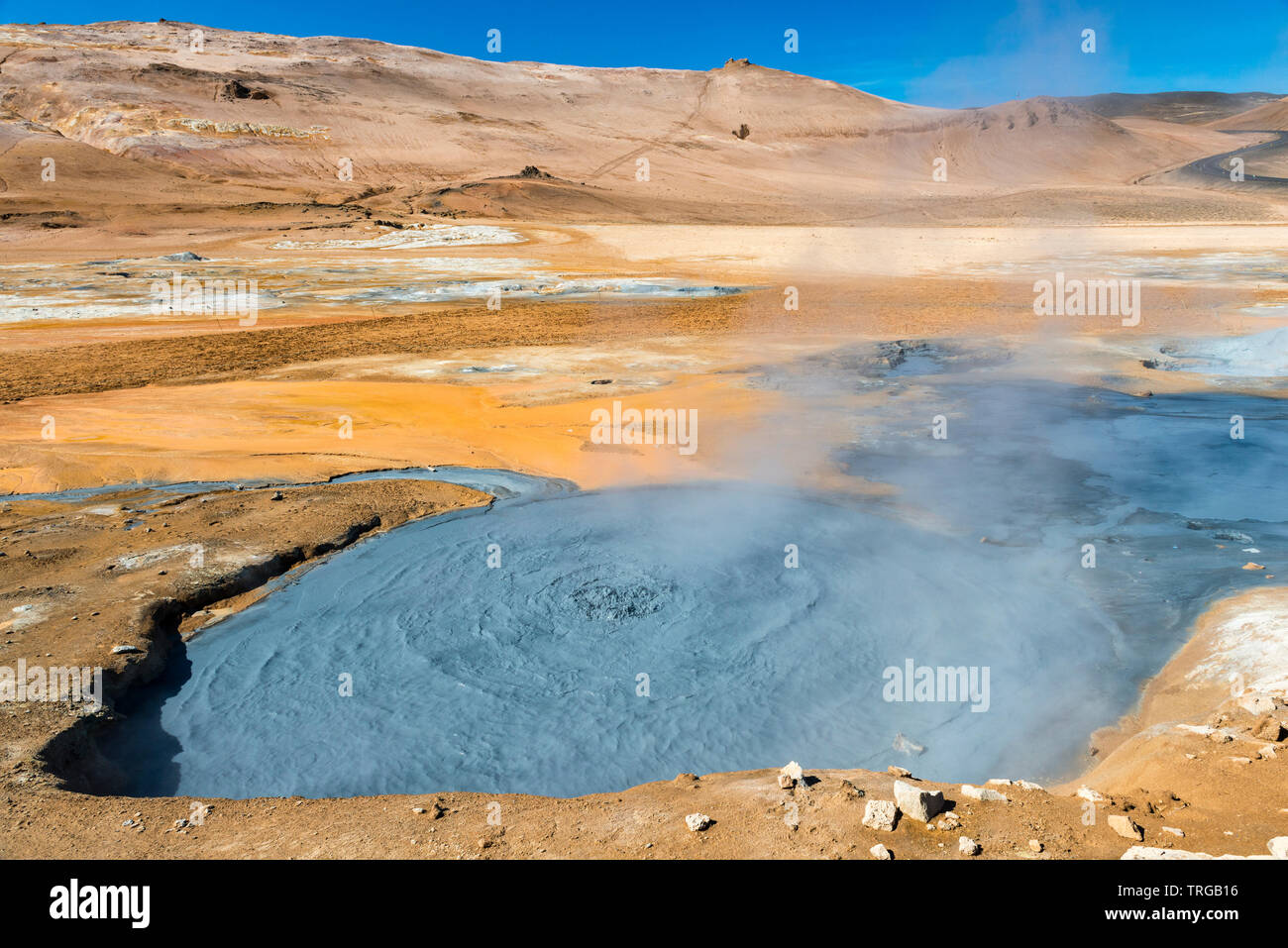 Eine kochende mudpot in den hochaktiven geothermalen Gebiet am Námafjall (hverir), in der Nähe von Mývatn in North-east Iceland Stockfotohttps://www.alamy.de/image-license-details/?v=1https://www.alamy.de/eine-kochende-mudpot-in-den-hochaktiven-geothermalen-gebiet-am-nmafjall-hverir-in-der-nahe-von-mvatn-in-north-east-iceland-image255442130.html
RMTRGB16–Eine kochende mudpot in den hochaktiven geothermalen Gebiet am Námafjall (hverir), in der Nähe von Mývatn in North-east Iceland
 Námafjall Hverir Geotermal Bereich, Island Stockfotohttps://www.alamy.de/image-license-details/?v=1https://www.alamy.de/nmafjall-hverir-geotermal-bereich-island-image151408463.html
RMJP9713–Námafjall Hverir Geotermal Bereich, Island
 Solfatara in Namfjall Hverir Myvatn Namafjall Hverir, Hverarönd, Myvatn-Gebiet, North Island Stockfotohttps://www.alamy.de/image-license-details/?v=1https://www.alamy.de/stockfoto-solfatara-in-namfjall-hverir-myvatn-namafjall-hverir-hverarond-myvatn-gebiet-north-island-71340155.html
RME41R2K–Solfatara in Namfjall Hverir Myvatn Namafjall Hverir, Hverarönd, Myvatn-Gebiet, North Island
 Namafjall Hverir, in der Nähe von Myvatn, Island Stockfotohttps://www.alamy.de/image-license-details/?v=1https://www.alamy.de/stockfoto-namafjall-hverir-in-der-nahe-von-myvatn-island-111585283.html
RMGDF44K–Namafjall Hverir, in der Nähe von Myvatn, Island
 Promenade-Trail am Namafjall Hverir - Myvatn Region North Central Island Stockfotohttps://www.alamy.de/image-license-details/?v=1https://www.alamy.de/stockfoto-promenade-trail-am-namafjall-hverir-myvatn-region-north-central-island-72132954.html
RME59X8X–Promenade-Trail am Namafjall Hverir - Myvatn Region North Central Island
 Fumarole Feld in Hverir Geothermie Zone Island. Berühmte Touristenattraktion Stockfotohttps://www.alamy.de/image-license-details/?v=1https://www.alamy.de/fumarole-feld-in-hverir-geothermie-zone-island-beruhmte-touristenattraktion-image461463508.html
RF2HPNDBG–Fumarole Feld in Hverir Geothermie Zone Island. Berühmte Touristenattraktion
 Die geothermische Bereich Namafjall/Hverir in der Nähe von Mývatn bei Dämmerung im Norden von Island. Stockfotohttps://www.alamy.de/image-license-details/?v=1https://www.alamy.de/die-geothermische-bereich-namafjallhverir-in-der-nahe-von-mvatn-bei-dammerung-im-norden-von-island-image220542508.html
RFPPPG64–Die geothermische Bereich Namafjall/Hverir in der Nähe von Mývatn bei Dämmerung im Norden von Island.
 Namafjall - Geothermie Bereich im Feld von hverir. Landschaft, die Pools der kochenden Schlamm und heißen Quellen. Touristische und natürlichen Attraktionen in Island Stockfotohttps://www.alamy.de/image-license-details/?v=1https://www.alamy.de/namafjall-geothermie-bereich-im-feld-von-hverir-landschaft-die-pools-der-kochenden-schlamm-und-heissen-quellen-touristische-und-naturlichen-attraktionen-in-island-image223715843.html
RFPYY3RF–Namafjall - Geothermie Bereich im Feld von hverir. Landschaft, die Pools der kochenden Schlamm und heißen Quellen. Touristische und natürlichen Attraktionen in Island
 Risse im Schlamm, Namafjall Hverir geothermale Region, North Island, Island Stockfotohttps://www.alamy.de/image-license-details/?v=1https://www.alamy.de/risse-im-schlamm-namafjall-hverir-geothermale-region-north-island-island-image207715277.html
RMP1X6XN–Risse im Schlamm, Namafjall Hverir geothermale Region, North Island, Island
 Mt. Námafjall, geothermische Region Hverir, in der Nähe des Mývatn-Sees, Island Stockfotohttps://www.alamy.de/image-license-details/?v=1https://www.alamy.de/mt-nmafjall-geothermische-region-hverir-in-der-nahe-des-mvatn-sees-island-image560039527.html
RF2RF403K–Mt. Námafjall, geothermische Region Hverir, in der Nähe des Mývatn-Sees, Island
 Geothermie, Namafjall Hverir, Island, Polarregionen Stockfotohttps://www.alamy.de/image-license-details/?v=1https://www.alamy.de/geothermie-namafjall-hverir-island-polarregionen-image545632369.html
RF2PKKKJ9–Geothermie, Namafjall Hverir, Island, Polarregionen
 Kochende Schlammloch in Nordisland Namafjall. Stockfotohttps://www.alamy.de/image-license-details/?v=1https://www.alamy.de/stockfoto-kochende-schlammloch-in-nordisland-namafjall-77824950.html
RMEEH6EE–Kochende Schlammloch in Nordisland Namafjall.
 Dampfende Fumarolen im Geothermiegebiet Námafjall Hverir, Island Stockfotohttps://www.alamy.de/image-license-details/?v=1https://www.alamy.de/stockfoto-dampfende-fumarolen-im-geothermiegebiet-nmafjall-hverir-island-160063531.html
RMK8BEJK–Dampfende Fumarolen im Geothermiegebiet Námafjall Hverir, Island
 Námafjall Berg und Hverir Geothermie Gebiet in der Nähe des Lake Myvatn, Nordisland. Besucher wandern zwischen den grau kochenden Schlammtöpfen und geothermischen Elementen Stockfotohttps://www.alamy.de/image-license-details/?v=1https://www.alamy.de/nmafjall-berg-und-hverir-geothermie-gebiet-in-der-nahe-des-lake-myvatn-nordisland-besucher-wandern-zwischen-den-grau-kochenden-schlammtopfen-und-geothermischen-elementen-image395199576.html
RM2DXXW2G–Námafjall Berg und Hverir Geothermie Gebiet in der Nähe des Lake Myvatn, Nordisland. Besucher wandern zwischen den grau kochenden Schlammtöpfen und geothermischen Elementen
 Námafjall Hverir Fumerol geothermals Stockfotohttps://www.alamy.de/image-license-details/?v=1https://www.alamy.de/stockfoto-nmafjall-hverir-fumerol-geothermals-122601900.html
RMH3CYY8–Námafjall Hverir Fumerol geothermals
 Námafjall, Namafjall, Hverir bei Myvatn, Hochtemperaturgebiet, Geothermalgebiet, Hverarönd, Thermalquellen, Thermalquelle. Im Hochtemperaturgebiet Stockfotohttps://www.alamy.de/image-license-details/?v=1https://www.alamy.de/nmafjall-namafjall-hverir-bei-myvatn-hochtemperaturgebiet-geothermalgebiet-hverarond-thermalquellen-thermalquelle-im-hochtemperaturgebiet-image341906868.html
RM2AT75KG–Námafjall, Namafjall, Hverir bei Myvatn, Hochtemperaturgebiet, Geothermalgebiet, Hverarönd, Thermalquellen, Thermalquelle. Im Hochtemperaturgebiet
 Geothermische Schlamm Pools an Hverir, Namafjall, Island Stockfotohttps://www.alamy.de/image-license-details/?v=1https://www.alamy.de/geothermische-schlamm-pools-an-hverir-namafjall-island-image227976745.html
RMR6W6JH–Geothermische Schlamm Pools an Hverir, Namafjall, Island
 Dampf, der aus einem Fumarole (oder Fumerole) in der Gegend um Namafjall Hverir Geothemal, östlich des Lake Myvatn, Nordisland, steigt Stockfotohttps://www.alamy.de/image-license-details/?v=1https://www.alamy.de/dampf-der-aus-einem-fumarole-oder-fumerole-in-der-gegend-um-namafjall-hverir-geothemal-ostlich-des-lake-myvatn-nordisland-steigt-image594089680.html
RM2WEF3CG–Dampf, der aus einem Fumarole (oder Fumerole) in der Gegend um Namafjall Hverir Geothemal, östlich des Lake Myvatn, Nordisland, steigt
 Namafjall Hverir geothermale Region, Island Stockfotohttps://www.alamy.de/image-license-details/?v=1https://www.alamy.de/namafjall-hverir-geothermale-region-island-image181908049.html
RMMFXHG1–Namafjall Hverir geothermale Region, Island
 Die seltsame und bunte Landschaft im hochaktiven Geothermalgebiet bei Námafjall (Hverir), nahe dem See Mývatn im Nordosten Islands Stockfotohttps://www.alamy.de/image-license-details/?v=1https://www.alamy.de/die-seltsame-und-bunte-landschaft-im-hochaktiven-geothermalgebiet-bei-nmafjall-hverir-nahe-dem-see-mvatn-im-nordosten-islands-image255460952.html
RMTRH71C–Die seltsame und bunte Landschaft im hochaktiven Geothermalgebiet bei Námafjall (Hverir), nahe dem See Mývatn im Nordosten Islands
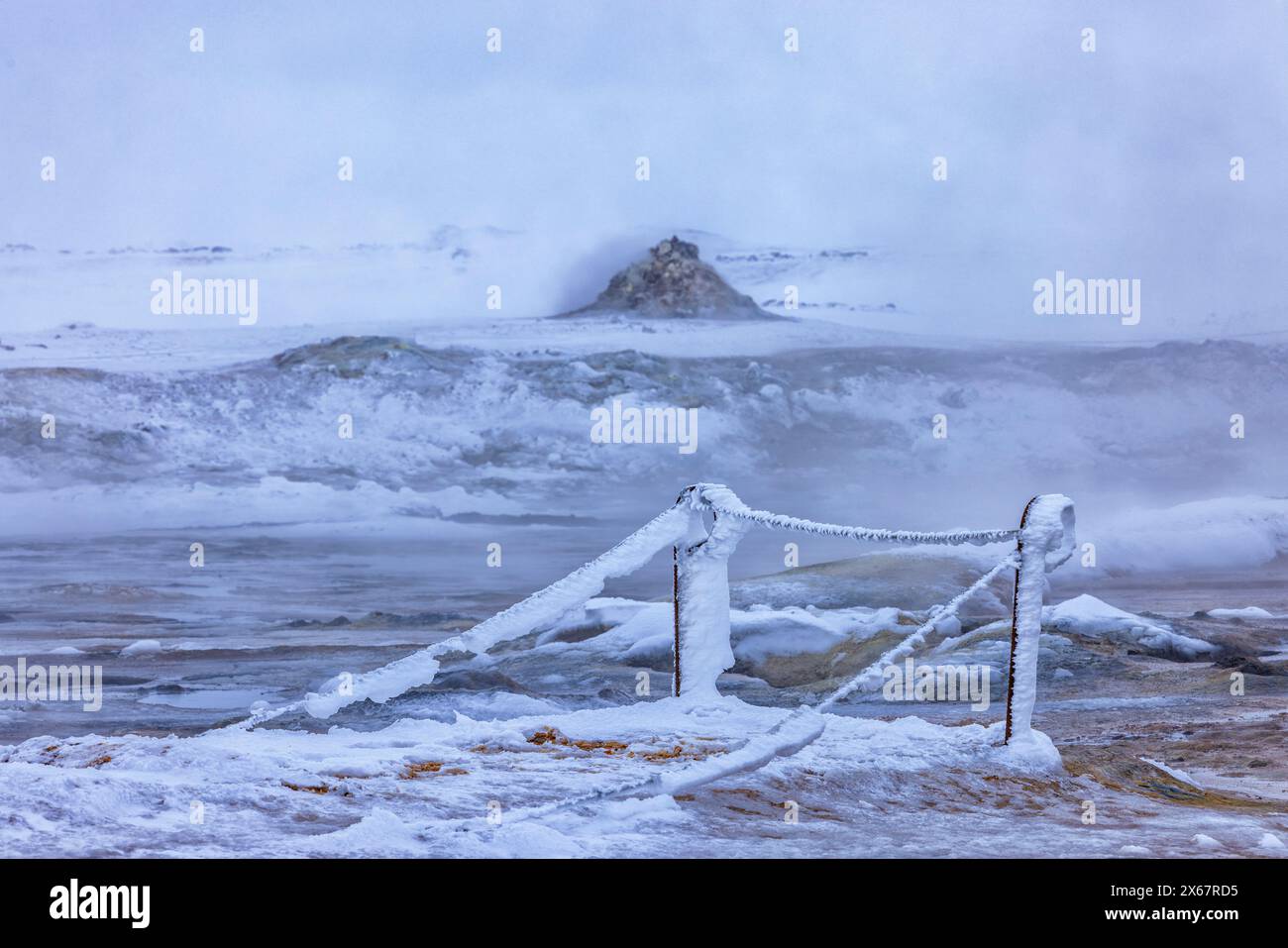 Das Geothermiegebiet Namafjall Hverir in der Region Myvatn in Nord-Island Stockfotohttps://www.alamy.de/image-license-details/?v=1https://www.alamy.de/das-geothermiegebiet-namafjall-hverir-in-der-region-myvatn-in-nord-island-image606222881.html
RM2X67RD5–Das Geothermiegebiet Namafjall Hverir in der Region Myvatn in Nord-Island
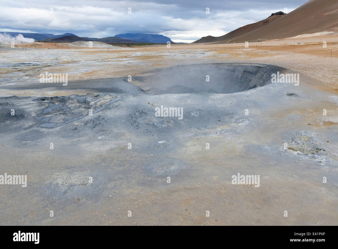 Namajfall Schlamm Topf oder Schlammbad, Namafjall, Hverir, Hverarönd, Myvatn, North Island Stockfotohttps://www.alamy.de/image-license-details/?v=1https://www.alamy.de/stockfoto-namajfall-schlamm-topf-oder-schlammbad-namafjall-hverir-hverarond-myvatn-north-island-71340046.html
RME41PXP–Namajfall Schlamm Topf oder Schlammbad, Namafjall, Hverir, Hverarönd, Myvatn, North Island
 Namafjall Hverir, in der Nähe von Myvatn, Island Stockfotohttps://www.alamy.de/image-license-details/?v=1https://www.alamy.de/stockfoto-namafjall-hverir-in-der-nahe-von-myvatn-island-111585282.html
RMGDF44J–Namafjall Hverir, in der Nähe von Myvatn, Island
 Sieden Mudpools am Namafjall Hverir - Myvatn Region North Central Island Stockfotohttps://www.alamy.de/image-license-details/?v=1https://www.alamy.de/stockfoto-sieden-mudpools-am-namafjall-hverir-myvatn-region-north-central-island-72132951.html
RME59X8R–Sieden Mudpools am Namafjall Hverir - Myvatn Region North Central Island
 Fumarole Feld in Hverir Geothermie Zone Island. Berühmte Touristenattraktion Stockfotohttps://www.alamy.de/image-license-details/?v=1https://www.alamy.de/fumarole-feld-in-hverir-geothermie-zone-island-beruhmte-touristenattraktion-image458520657.html
RF2HHYBNN–Fumarole Feld in Hverir Geothermie Zone Island. Berühmte Touristenattraktion
 Die geothermische Bereich Namafjall/Hverir in der Nähe von Mývatn bei Dämmerung im Norden von Island. Stockfotohttps://www.alamy.de/image-license-details/?v=1https://www.alamy.de/die-geothermische-bereich-namafjallhverir-in-der-nahe-von-mvatn-bei-dammerung-im-norden-von-island-image220542777.html
RFPPPGFN–Die geothermische Bereich Namafjall/Hverir in der Nähe von Mývatn bei Dämmerung im Norden von Island.
 Namafjall - Geothermie Bereich im Feld von hverir. Landschaft, die Pools der kochenden Schlamm und heißen Quellen. Touristische und natürlichen Attraktionen in Island Stockfotohttps://www.alamy.de/image-license-details/?v=1https://www.alamy.de/namafjall-geothermie-bereich-im-feld-von-hverir-landschaft-die-pools-der-kochenden-schlamm-und-heissen-quellen-touristische-und-naturlichen-attraktionen-in-island-image218281913.html
RFPK3GPH–Namafjall - Geothermie Bereich im Feld von hverir. Landschaft, die Pools der kochenden Schlamm und heißen Quellen. Touristische und natürlichen Attraktionen in Island
 Risse im Schlamm, Namafjall Hverir geothermale Region, North Island, Island Stockfotohttps://www.alamy.de/image-license-details/?v=1https://www.alamy.de/risse-im-schlamm-namafjall-hverir-geothermale-region-north-island-island-image207716279.html
RMP1X86F–Risse im Schlamm, Namafjall Hverir geothermale Region, North Island, Island
 Kochende Schlammbecken und Mt. Námafjall, geothermische Region Hverir, in der Nähe des Mývatn-Sees, Island Stockfotohttps://www.alamy.de/image-license-details/?v=1https://www.alamy.de/kochende-schlammbecken-und-mt-nmafjall-geothermische-region-hverir-in-der-nahe-des-mvatn-sees-island-image560039530.html
RF2RF403P–Kochende Schlammbecken und Mt. Námafjall, geothermische Region Hverir, in der Nähe des Mývatn-Sees, Island
 Geothermie, Namafjall Hverir, Island, Polarregionen Stockfotohttps://www.alamy.de/image-license-details/?v=1https://www.alamy.de/geothermie-namafjall-hverir-island-polarregionen-image545632357.html
RF2PKKKHW–Geothermie, Namafjall Hverir, Island, Polarregionen
 Kochende Schlammloch in Nordisland Namafjall. Hochauflösende digitale Mitte Format gedreht. Stockfotohttps://www.alamy.de/image-license-details/?v=1https://www.alamy.de/stockfoto-kochende-schlammloch-in-nordisland-namafjall-hochauflosende-digitale-mitte-format-gedreht-77933118.html
RMEEP4DJ–Kochende Schlammloch in Nordisland Namafjall. Hochauflösende digitale Mitte Format gedreht.
 Dampfende Schlammkessel und Fumarolen im Geothermiegebiet Námafjall Hverir, Island Stockfotohttps://www.alamy.de/image-license-details/?v=1https://www.alamy.de/stockfoto-dampfende-schlammkessel-und-fumarolen-im-geothermiegebiet-nmafjall-hverir-island-160063249.html
RMK8BE8H–Dampfende Schlammkessel und Fumarolen im Geothermiegebiet Námafjall Hverir, Island
 Aufgenommen von der Promenade des Námafjall und Hverir Aussichtspunkt in der Nähe des Lake Myvatn in Nordisland. Besucher laufen am geothermischen grau kochenden Schlamm vorbei. Stockfotohttps://www.alamy.de/image-license-details/?v=1https://www.alamy.de/aufgenommen-von-der-promenade-des-nmafjall-und-hverir-aussichtspunkt-in-der-nahe-des-lake-myvatn-in-nordisland-besucher-laufen-am-geothermischen-grau-kochenden-schlamm-vorbei-image381147537.html
RM2D42NG1–Aufgenommen von der Promenade des Námafjall und Hverir Aussichtspunkt in der Nähe des Lake Myvatn in Nordisland. Besucher laufen am geothermischen grau kochenden Schlamm vorbei.
 Námafjall Hverir Fumerol geothermals Stockfotohttps://www.alamy.de/image-license-details/?v=1https://www.alamy.de/stockfoto-nmafjall-hverir-fumerol-geothermals-122601896.html
RMH3CYY4–Námafjall Hverir Fumerol geothermals
 Námafjall, Namafjall, Hverir bei Myvatn, Hochtemperaturgebiet, Geothermalgebiet, Hverarönd, Thermalquellen, Thermalquelle. Im Hochtemperaturgebiet Stockfotohttps://www.alamy.de/image-license-details/?v=1https://www.alamy.de/nmafjall-namafjall-hverir-bei-myvatn-hochtemperaturgebiet-geothermalgebiet-hverarond-thermalquellen-thermalquelle-im-hochtemperaturgebiet-image341906773.html
RM2AT75G5–Námafjall, Namafjall, Hverir bei Myvatn, Hochtemperaturgebiet, Geothermalgebiet, Hverarönd, Thermalquellen, Thermalquelle. Im Hochtemperaturgebiet
 Geothermische Schlamm Pools an Hverir, Namafjall, Island Stockfotohttps://www.alamy.de/image-license-details/?v=1https://www.alamy.de/geothermische-schlamm-pools-an-hverir-namafjall-island-image227976748.html
RMR6W6JM–Geothermische Schlamm Pools an Hverir, Namafjall, Island
 Der Blick auf das Rauchergelände in Namafjall Hverir Geothermie-Bereich Island Stockfotohttps://www.alamy.de/image-license-details/?v=1https://www.alamy.de/der-blick-auf-das-rauchergelande-in-namafjall-hverir-geothermie-bereich-island-image397870022.html
RF2E38F7J–Der Blick auf das Rauchergelände in Namafjall Hverir Geothermie-Bereich Island
 Namafjall Hverir geothermale Region, Island Stockfotohttps://www.alamy.de/image-license-details/?v=1https://www.alamy.de/namafjall-hverir-geothermale-region-island-image181908072.html
RMMFXHGT–Namafjall Hverir geothermale Region, Island
 Eine touristische Tests unwisely der Hitze einer Fumarole in den hochaktiven geothermalen Gebiet am Námafjall (hverir), in der Nähe von Mývatn in North-east Iceland Stockfotohttps://www.alamy.de/image-license-details/?v=1https://www.alamy.de/eine-touristische-tests-unwisely-der-hitze-einer-fumarole-in-den-hochaktiven-geothermalen-gebiet-am-nmafjall-hverir-in-der-nahe-von-mvatn-in-north-east-iceland-image255442082.html
RMTRGAYE–Eine touristische Tests unwisely der Hitze einer Fumarole in den hochaktiven geothermalen Gebiet am Námafjall (hverir), in der Nähe von Mývatn in North-east Iceland
 Das Geothermiegebiet Namafjall Hverir in der Region Myvatn in Nord-Island Stockfotohttps://www.alamy.de/image-license-details/?v=1https://www.alamy.de/das-geothermiegebiet-namafjall-hverir-in-der-region-myvatn-in-nord-island-image606222913.html
RM2X67RE9–Das Geothermiegebiet Namafjall Hverir in der Region Myvatn in Nord-Island
 Krafla geothermische Gebiet der Hverir, Namafjall in Nordisland Stockfotohttps://www.alamy.de/image-license-details/?v=1https://www.alamy.de/krafla-geothermische-gebiet-der-hverir-namafjall-in-nordisland-image449741837.html
RF2H3KE8D–Krafla geothermische Gebiet der Hverir, Namafjall in Nordisland
 Namafjall Hverir, in der Nähe von Myvatn, Island Stockfotohttps://www.alamy.de/image-license-details/?v=1https://www.alamy.de/stockfoto-namafjall-hverir-in-der-nahe-von-myvatn-island-111585280.html
RMGDF44G–Namafjall Hverir, in der Nähe von Myvatn, Island
 Sieden Mudpools am Namafjall Hverir - Myvatn Region North Central Island Stockfotohttps://www.alamy.de/image-license-details/?v=1https://www.alamy.de/stockfoto-sieden-mudpools-am-namafjall-hverir-myvatn-region-north-central-island-72132956.html
RME59X90–Sieden Mudpools am Namafjall Hverir - Myvatn Region North Central Island
 Fumarole Feld in Hverir Geothermie Zone Island. Berühmte Touristenattraktion Stockfotohttps://www.alamy.de/image-license-details/?v=1https://www.alamy.de/fumarole-feld-in-hverir-geothermie-zone-island-beruhmte-touristenattraktion-image461463444.html
RF2HPND98–Fumarole Feld in Hverir Geothermie Zone Island. Berühmte Touristenattraktion