Schnellfilter:
Missouri river valley Stockfotos & Bilder
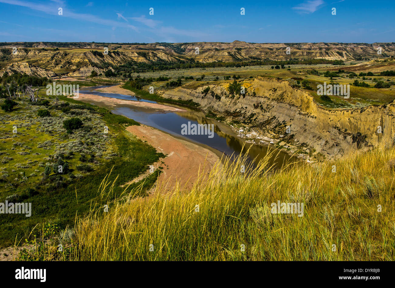 Ein Blick auf das Tal Little Missouri River im Theodore-Roosevelt-Nationalpark in North Dakota. Stockfotohttps://www.alamy.de/image-license-details/?v=1https://www.alamy.de/ein-blick-auf-das-tal-little-missouri-river-im-theodore-roosevelt-nationalpark-in-north-dakota-image68740851.html
RFDYRBJB–Ein Blick auf das Tal Little Missouri River im Theodore-Roosevelt-Nationalpark in North Dakota.
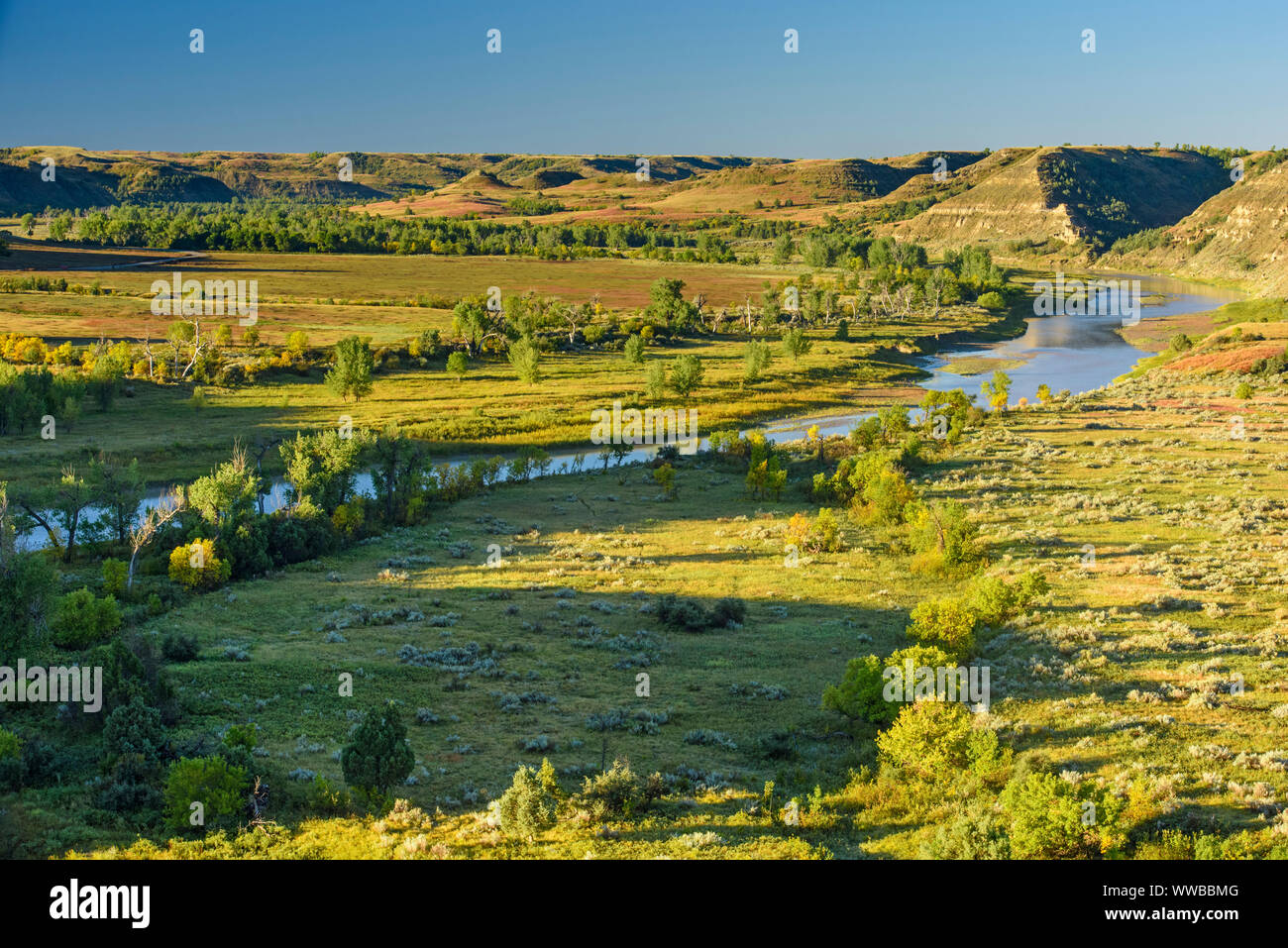 Little Missouri River Valley im Spätsommer, Theodore Roosevelt National Park (Südafrika), North Dakota, USA Stockfotohttps://www.alamy.de/image-license-details/?v=1https://www.alamy.de/little-missouri-river-valley-im-spatsommer-theodore-roosevelt-national-park-sudafrika-north-dakota-usa-image273772592.html
RMWWBBMG–Little Missouri River Valley im Spätsommer, Theodore Roosevelt National Park (Südafrika), North Dakota, USA
 badlands entlang des Milk River Valley in der Nähe von havre, montana Stockfotohttps://www.alamy.de/image-license-details/?v=1https://www.alamy.de/badlands-entlang-des-milk-river-valley-in-der-nahe-von-havre-montana-image433105007.html
RM2G4HHRY–badlands entlang des Milk River Valley in der Nähe von havre, montana
 Nebel über Little Missouri River Valley, Autumn Ash Trees, Theodore Roosevelt NP, N Dakota, USA, von Dominique Braud/Dembinsky Photo Assoc Stockfotohttps://www.alamy.de/image-license-details/?v=1https://www.alamy.de/nebel-uber-little-missouri-river-valley-autumn-ash-trees-theodore-roosevelt-np-n-dakota-usa-von-dominique-brauddembinsky-photo-assoc-image384037684.html
RM2D8PBYG–Nebel über Little Missouri River Valley, Autumn Ash Trees, Theodore Roosevelt NP, N Dakota, USA, von Dominique Braud/Dembinsky Photo Assoc
 Sioux City Iowa mit Missouri Fluß im Vordergrund Stockfotohttps://www.alamy.de/image-license-details/?v=1https://www.alamy.de/stockfoto-sioux-city-iowa-mit-missouri-fluss-im-vordergrund-18852457.html
RFB2JPE1–Sioux City Iowa mit Missouri Fluß im Vordergrund
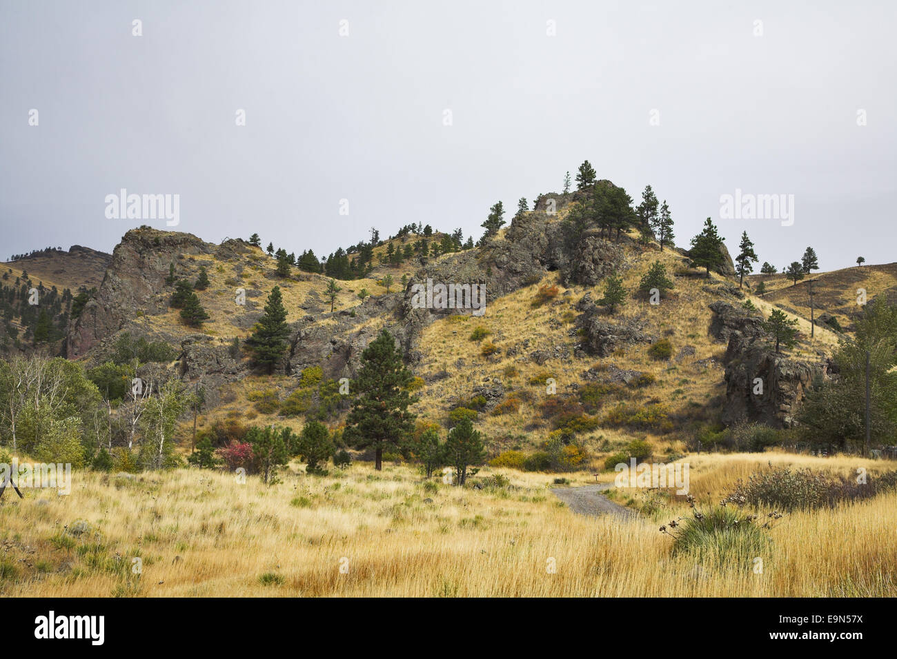 Tal des Flusses Missouri. Stockfotohttps://www.alamy.de/image-license-details/?v=1https://www.alamy.de/stockfoto-tal-des-flusses-missouri-74838510.html
RFE9N57X–Tal des Flusses Missouri.
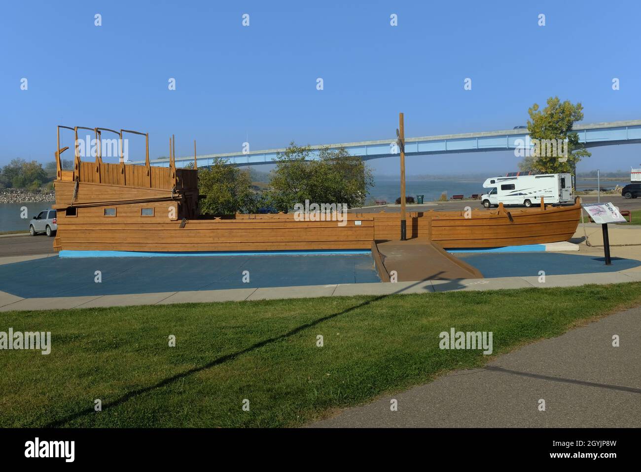 BISMARCK, NORTH DAKOTA - 3 Okt 2021: Kielboot im Keelboat Park, neben dem Missouri River und Teil des Missouri Valley Legacy Center. Stockfotohttps://www.alamy.de/image-license-details/?v=1https://www.alamy.de/bismarck-north-dakota-3-okt-2021-kielboot-im-keelboat-park-neben-dem-missouri-river-und-teil-des-missouri-valley-legacy-center-image447267545.html
RF2GYJP8W–BISMARCK, NORTH DAKOTA - 3 Okt 2021: Kielboot im Keelboat Park, neben dem Missouri River und Teil des Missouri Valley Legacy Center.
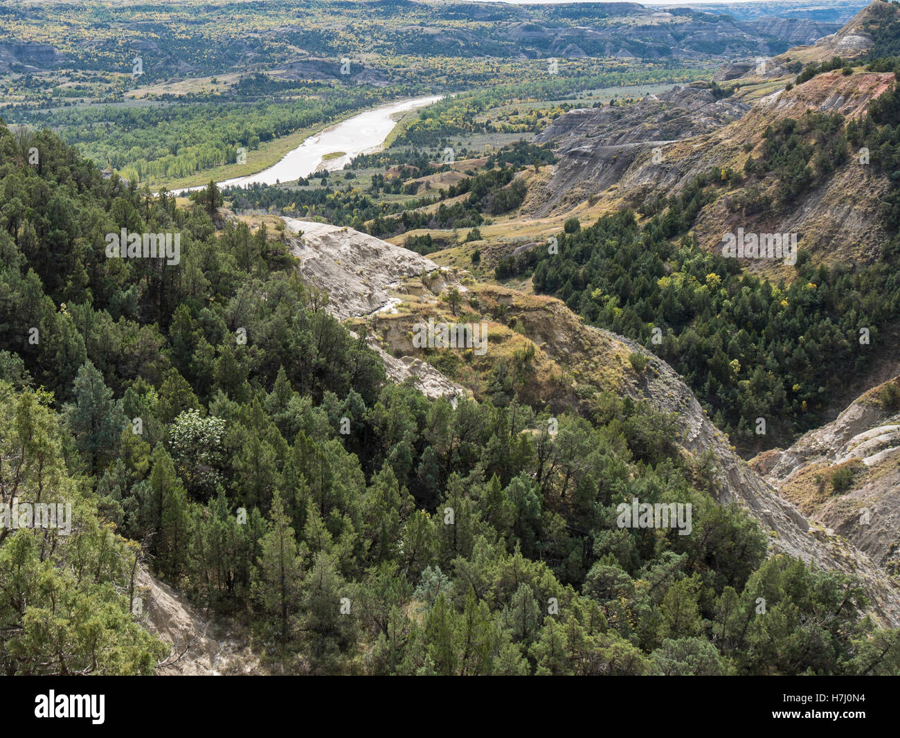 Ansicht von Little Missouri River Valley, Nord-Einheit, Theodore-Roosevelt-Nationalpark, North Dakota. Stockfotohttps://www.alamy.de/image-license-details/?v=1https://www.alamy.de/stockfoto-ansicht-von-little-missouri-river-valley-nord-einheit-theodore-roosevelt-nationalpark-north-dakota-125170896.html
RFH7J0N4–Ansicht von Little Missouri River Valley, Nord-Einheit, Theodore-Roosevelt-Nationalpark, North Dakota.
 Das Tal des Missouri River über Jefferson City, MO, aus der Vogelperspektive: Katy Trail überquert den Cedar Creek, wolkiger Frühlingsnachmittag Stockfotohttps://www.alamy.de/image-license-details/?v=1https://www.alamy.de/das-tal-des-missouri-river-uber-jefferson-city-mo-aus-der-vogelperspektive-katy-trail-uberquert-den-cedar-creek-wolkiger-fruhlingsnachmittag-image549245477.html
RF2PWG85W–Das Tal des Missouri River über Jefferson City, MO, aus der Vogelperspektive: Katy Trail überquert den Cedar Creek, wolkiger Frühlingsnachmittag
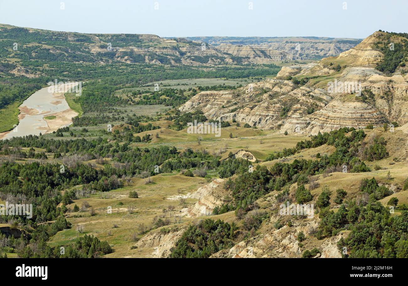 Little Missouri River - North Dakota Stockfotohttps://www.alamy.de/image-license-details/?v=1https://www.alamy.de/little-missouri-river-north-dakota-image466349257.html
RF2J2M16H–Little Missouri River - North Dakota
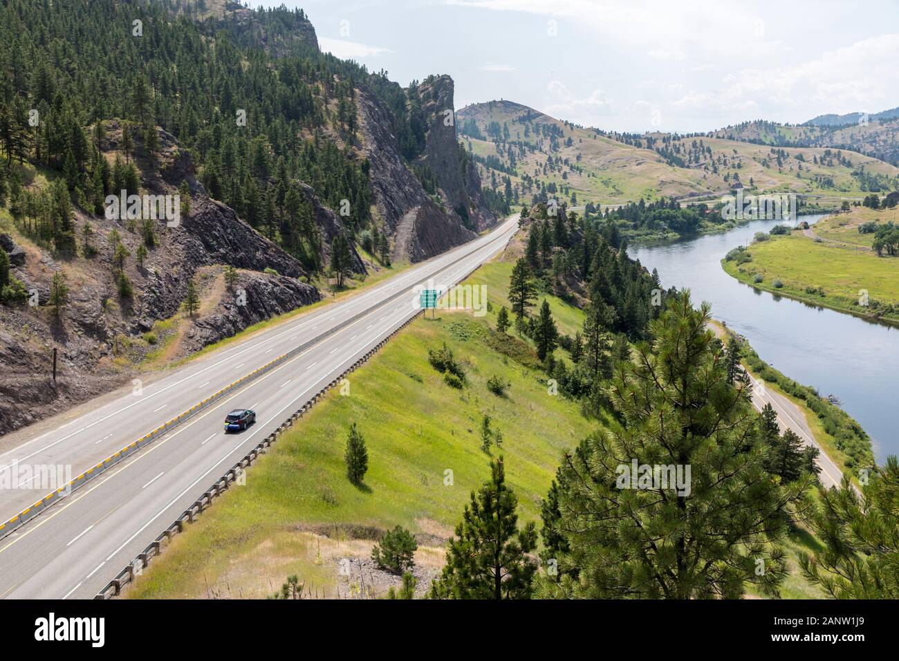 Autobahn und Fluss mit leeren Straßen, Hardy, Missouri, Montana, USA Stockfotohttps://www.alamy.de/image-license-details/?v=1https://www.alamy.de/autobahn-und-fluss-mit-leeren-strassen-hardy-missouri-montana-usa-image340454865.html
RM2ANW1J9–Autobahn und Fluss mit leeren Straßen, Hardy, Missouri, Montana, USA
 Moon Valley Access, Dallas County, Missouri, USA-5.31.24. Das Willkommensschild im Moon Valley: Ein Flusszugang, im Besitz von MDC, am Niangua River. Stockfotohttps://www.alamy.de/image-license-details/?v=1https://www.alamy.de/moon-valley-access-dallas-county-missouri-usa-53124-das-willkommensschild-im-moon-valley-ein-flusszugang-im-besitz-von-mdc-am-niangua-river-image609975596.html
RF2XCAP2M–Moon Valley Access, Dallas County, Missouri, USA-5.31.24. Das Willkommensschild im Moon Valley: Ein Flusszugang, im Besitz von MDC, am Niangua River.
 Kleiner Nebenfluss Fluss an den Lake Of The Ozarks in central Missouri Stockfotohttps://www.alamy.de/image-license-details/?v=1https://www.alamy.de/stockfoto-kleiner-nebenfluss-fluss-an-den-lake-of-the-ozarks-in-central-missouri-89491768.html
RFF5GKJG–Kleiner Nebenfluss Fluss an den Lake Of The Ozarks in central Missouri
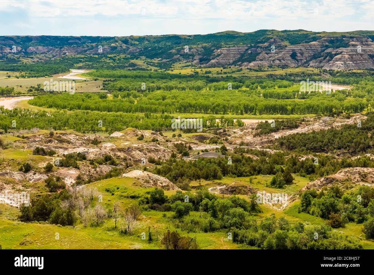 Landschaft in der Gegend über dem Little Missouri River im Theodore Roosevelt National Park, North Unit, in North Dakota, USA Stockfotohttps://www.alamy.de/image-license-details/?v=1https://www.alamy.de/landschaft-in-der-gegend-uber-dem-little-missouri-river-im-theodore-roosevelt-national-park-north-unit-in-north-dakota-usa-image366722419.html
RF2C8HJ57–Landschaft in der Gegend über dem Little Missouri River im Theodore Roosevelt National Park, North Unit, in North Dakota, USA
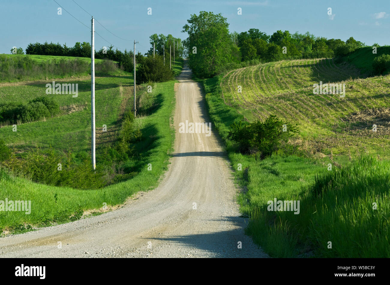 KS: Doniphan County, Missouri River Wathena, Landschaft, eine Schotterpiste führt durch Ackerland in der Nähe des Missouri River Stockfotohttps://www.alamy.de/image-license-details/?v=1https://www.alamy.de/ks-doniphan-county-missouri-river-wathena-landschaft-eine-schotterpiste-fuhrt-durch-ackerland-in-der-nahe-des-missouri-river-image261479791.html
RMW5BC3Y–KS: Doniphan County, Missouri River Wathena, Landschaft, eine Schotterpiste führt durch Ackerland in der Nähe des Missouri River
 Missouri Route 141 und BNSF Railway überqueren den Meramec River im Valley Park, Mo., Donnerstag, 15. April 2021, In einem Vorort von St. Louis. Stockfotohttps://www.alamy.de/image-license-details/?v=1https://www.alamy.de/missouri-route-141-und-bnsf-railway-uberqueren-den-meramec-river-im-valley-park-mo-donnerstag-15-april-2021-in-einem-vorort-von-st-louis-image436181099.html
RM2G9HNCB–Missouri Route 141 und BNSF Railway überqueren den Meramec River im Valley Park, Mo., Donnerstag, 15. April 2021, In einem Vorort von St. Louis.
 Blick auf den Missouri River, Indian Cave State Park, Nebraska Stockfotohttps://www.alamy.de/image-license-details/?v=1https://www.alamy.de/blick-auf-den-missouri-river-indian-cave-state-park-nebraska-image435606498.html
RF2G8KGEX–Blick auf den Missouri River, Indian Cave State Park, Nebraska
 Lamar River im Lamar Valley im Winter im Yellowstone National Park Stockfotohttps://www.alamy.de/image-license-details/?v=1https://www.alamy.de/lamar-river-im-lamar-valley-im-winter-im-yellowstone-national-park-image213922305.html
RFPC1029–Lamar River im Lamar Valley im Winter im Yellowstone National Park
 Yellowstone River im Hayden Valley im Herbst im Yellowstone-Nationalpark, Wyoming, USA. Als die wichtigste Nebenfluss des oberen Missouri, th Stockfotohttps://www.alamy.de/image-license-details/?v=1https://www.alamy.de/stockfoto-yellowstone-river-im-hayden-valley-im-herbst-im-yellowstone-nationalpark-wyoming-usa-als-die-wichtigste-nebenfluss-des-oberen-missouri-th-138971910.html
RFJ22M2E–Yellowstone River im Hayden Valley im Herbst im Yellowstone-Nationalpark, Wyoming, USA. Als die wichtigste Nebenfluss des oberen Missouri, th
 Blick auf das Missouri River Valley vom Fort Ransom State Park In North Dakota Stockfotohttps://www.alamy.de/image-license-details/?v=1https://www.alamy.de/blick-auf-das-missouri-river-valley-vom-fort-ransom-state-park-in-north-dakota-image384021967.html
RF2D8NKX7–Blick auf das Missouri River Valley vom Fort Ransom State Park In North Dakota
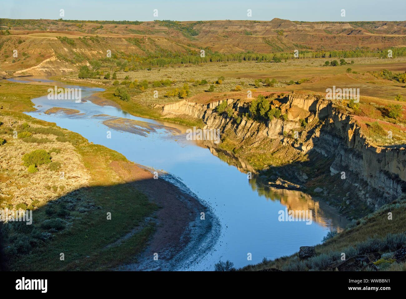 Little Missouri River Valley im Spätsommer, Theodore Roosevelt National Park (Südafrika), North Dakota, USA Stockfotohttps://www.alamy.de/image-license-details/?v=1https://www.alamy.de/little-missouri-river-valley-im-spatsommer-theodore-roosevelt-national-park-sudafrika-north-dakota-usa-image273772605.html
RMWWBBN1–Little Missouri River Valley im Spätsommer, Theodore Roosevelt National Park (Südafrika), North Dakota, USA
 badlands entlang des Milk River Valley in der Nähe von havre, montana Stockfotohttps://www.alamy.de/image-license-details/?v=1https://www.alamy.de/badlands-entlang-des-milk-river-valley-in-der-nahe-von-havre-montana-image433104999.html
RM2G4HHRK–badlands entlang des Milk River Valley in der Nähe von havre, montana
 Nebel über Little Missouri River Valley, Autumn Ash Trees, Theodore Roosevelt NP, N Dakota, USA, von Dominique Braud/Dembinsky Photo Assoc Stockfotohttps://www.alamy.de/image-license-details/?v=1https://www.alamy.de/nebel-uber-little-missouri-river-valley-autumn-ash-trees-theodore-roosevelt-np-n-dakota-usa-von-dominique-brauddembinsky-photo-assoc-image384038173.html
RM2D8PCH1–Nebel über Little Missouri River Valley, Autumn Ash Trees, Theodore Roosevelt NP, N Dakota, USA, von Dominique Braud/Dembinsky Photo Assoc
 Missouri-Tal in Nebraska schlammigen Missouri River im Vordergrund Stockfotohttps://www.alamy.de/image-license-details/?v=1https://www.alamy.de/stockfoto-missouri-tal-in-nebraska-schlammigen-missouri-river-im-vordergrund-18852514.html
RFB2JPG2–Missouri-Tal in Nebraska schlammigen Missouri River im Vordergrund
 Little Missouri River abgedeckt im Nebel vom Fluss übersehen, Theodore-Roosevelt-Nationalpark, ND, USA Stockfotohttps://www.alamy.de/image-license-details/?v=1https://www.alamy.de/stockfoto-little-missouri-river-abgedeckt-im-nebel-vom-fluss-ubersehen-theodore-roosevelt-nationalpark-nd-usa-135165464.html
RMHRW8X0–Little Missouri River abgedeckt im Nebel vom Fluss übersehen, Theodore-Roosevelt-Nationalpark, ND, USA
 BISMARCK, NORTH DAKOTA - 3 Okt 2021: Kielboot im Keelboat Park, neben dem Missouri River und Teil des Missouri Valley Legacy Center. Stockfotohttps://www.alamy.de/image-license-details/?v=1https://www.alamy.de/bismarck-north-dakota-3-okt-2021-kielboot-im-keelboat-park-neben-dem-missouri-river-und-teil-des-missouri-valley-legacy-center-image447267815.html
RF2GYJPJF–BISMARCK, NORTH DAKOTA - 3 Okt 2021: Kielboot im Keelboat Park, neben dem Missouri River und Teil des Missouri Valley Legacy Center.
 Ansicht von Little Missouri River Valley, Nord-Einheit, Theodore-Roosevelt-Nationalpark, North Dakota. Stockfotohttps://www.alamy.de/image-license-details/?v=1https://www.alamy.de/stockfoto-ansicht-von-little-missouri-river-valley-nord-einheit-theodore-roosevelt-nationalpark-north-dakota-125170893.html
RFH7J0N1–Ansicht von Little Missouri River Valley, Nord-Einheit, Theodore-Roosevelt-Nationalpark, North Dakota.
 Luftaufnahme des Missouri River in der Nähe von St. Joseph, MO Stockfotohttps://www.alamy.de/image-license-details/?v=1https://www.alamy.de/luftaufnahme-des-missouri-river-in-der-nahe-von-st-joseph-mo-image470338655.html
RF2J95NN3–Luftaufnahme des Missouri River in der Nähe von St. Joseph, MO
 MT00534-00...MONTANA - EINE butte mit Blick auf den Gallitan River im Missouri Headwaters State Park. Stockfotohttps://www.alamy.de/image-license-details/?v=1https://www.alamy.de/mt00534-00montana-eine-butte-mit-blick-auf-den-gallitan-river-im-missouri-headwaters-state-park-image359075488.html
RM2BT58CG–MT00534-00...MONTANA - EINE butte mit Blick auf den Gallitan River im Missouri Headwaters State Park.
 Eine würdevolle Statue auf einer Klippe mit Blick auf den Missouri River an der Interstate 90 in der Nähe von Chamberlain, South Dakota Stockfotohttps://www.alamy.de/image-license-details/?v=1https://www.alamy.de/eine-wurdevolle-statue-auf-einer-klippe-mit-blick-auf-den-missouri-river-an-der-interstate-90-in-der-nahe-von-chamberlain-south-dakota-image499938282.html
RF2M1A4AJ–Eine würdevolle Statue auf einer Klippe mit Blick auf den Missouri River an der Interstate 90 in der Nähe von Chamberlain, South Dakota
 Moon Valley Access, Dallas County, Missouri, USA-5.31.24. Das Willkommensschild im Moon Valley: Ein Flusszugang, im Besitz von MDC, am Niangua River. Stockfotohttps://www.alamy.de/image-license-details/?v=1https://www.alamy.de/moon-valley-access-dallas-county-missouri-usa-53124-das-willkommensschild-im-moon-valley-ein-flusszugang-im-besitz-von-mdc-am-niangua-river-image609975631.html
RF2XCAP3Y–Moon Valley Access, Dallas County, Missouri, USA-5.31.24. Das Willkommensschild im Moon Valley: Ein Flusszugang, im Besitz von MDC, am Niangua River.
 Hannibal, Missouri - November 15, 2017: Hannibal, Missouri, Panorama, Stadt und wabash Brücke Stockfotohttps://www.alamy.de/image-license-details/?v=1https://www.alamy.de/stockfoto-hannibal-missouri-november-15-2017-hannibal-missouri-panorama-stadt-und-wabash-brucke-167538666.html
RFKMG17P–Hannibal, Missouri - November 15, 2017: Hannibal, Missouri, Panorama, Stadt und wabash Brücke
 Landschaft in der Gegend über dem Little Missouri River im Theodore Roosevelt National Park, North Unit, in North Dakota, USA Stockfotohttps://www.alamy.de/image-license-details/?v=1https://www.alamy.de/landschaft-in-der-gegend-uber-dem-little-missouri-river-im-theodore-roosevelt-national-park-north-unit-in-north-dakota-usa-image366722438.html
RF2C8HJ5X–Landschaft in der Gegend über dem Little Missouri River im Theodore Roosevelt National Park, North Unit, in North Dakota, USA
 KS: Doniphan County, Missouri River Wathena, Landschaft, eine Schotterpiste führt durch Ackerland in der Nähe des Missouri River Stockfotohttps://www.alamy.de/image-license-details/?v=1https://www.alamy.de/ks-doniphan-county-missouri-river-wathena-landschaft-eine-schotterpiste-fuhrt-durch-ackerland-in-der-nahe-des-missouri-river-image261479813.html
RMW5BC4N–KS: Doniphan County, Missouri River Wathena, Landschaft, eine Schotterpiste führt durch Ackerland in der Nähe des Missouri River
 2016 Überflutung im Valley Park, Missouri USA entlang des Meramec Flusses, Nebenfluss des Mississippi Flusses. Stockfotohttps://www.alamy.de/image-license-details/?v=1https://www.alamy.de/2016-uberflutung-im-valley-park-missouri-usa-entlang-des-meramec-flusses-nebenfluss-des-mississippi-flusses-image357769919.html
RM2BP1R53–2016 Überflutung im Valley Park, Missouri USA entlang des Meramec Flusses, Nebenfluss des Mississippi Flusses.
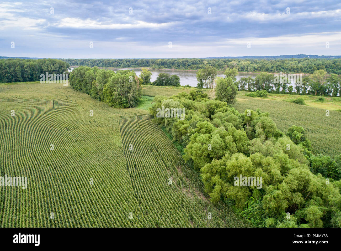 Maisfelder in einem Tal des Missouri River, Missouri - Luftbild Stockfotohttps://www.alamy.de/image-license-details/?v=1https://www.alamy.de/maisfelder-in-einem-tal-des-missouri-river-missouri-luftbild-image219277831.html
RFPMMY33–Maisfelder in einem Tal des Missouri River, Missouri - Luftbild
 Swiftcurrent Fluss in Many Glacier Valley Gegend des Glacier National Park in Montana. Stockfotohttps://www.alamy.de/image-license-details/?v=1https://www.alamy.de/swiftcurrent-fluss-in-many-glacier-valley-gegend-des-glacier-national-park-in-montana-image565779398.html
RM2RTDDB2–Swiftcurrent Fluss in Many Glacier Valley Gegend des Glacier National Park in Montana.
 Yellowstone River im Hayden Valley im Herbst im Yellowstone-Nationalpark, Wyoming, USA. Als die wichtigste Nebenfluss des oberen Missouri, th Stockfotohttps://www.alamy.de/image-license-details/?v=1https://www.alamy.de/stockfoto-yellowstone-river-im-hayden-valley-im-herbst-im-yellowstone-nationalpark-wyoming-usa-als-die-wichtigste-nebenfluss-des-oberen-missouri-th-138971912.html
RFJ22M2G–Yellowstone River im Hayden Valley im Herbst im Yellowstone-Nationalpark, Wyoming, USA. Als die wichtigste Nebenfluss des oberen Missouri, th
 Blick auf das Missouri River Valley vom Fort Ransom State Park In North Dakota Stockfotohttps://www.alamy.de/image-license-details/?v=1https://www.alamy.de/blick-auf-das-missouri-river-valley-vom-fort-ransom-state-park-in-north-dakota-image384021913.html
RF2D8NKT9–Blick auf das Missouri River Valley vom Fort Ransom State Park In North Dakota
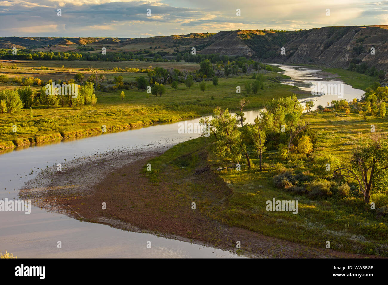 Die Little Missouri River Valley im Spätsommer, Theodore Roosevelt National Park (Südafrika), North Dakota, USA Stockfotohttps://www.alamy.de/image-license-details/?v=1https://www.alamy.de/die-little-missouri-river-valley-im-spatsommer-theodore-roosevelt-national-park-sudafrika-north-dakota-usa-image273772478.html
RMWWBBGE–Die Little Missouri River Valley im Spätsommer, Theodore Roosevelt National Park (Südafrika), North Dakota, USA
 badlands entlang des Milk River Valley in der Nähe von havre, montana Stockfotohttps://www.alamy.de/image-license-details/?v=1https://www.alamy.de/badlands-entlang-des-milk-river-valley-in-der-nahe-von-havre-montana-image433195670.html
RM2G4NNDX–badlands entlang des Milk River Valley in der Nähe von havre, montana
 Der Missouri River im versteckten Canyon Stockfotohttps://www.alamy.de/image-license-details/?v=1https://www.alamy.de/der-missouri-river-im-versteckten-canyon-image627004714.html
RF2YC2EWE–Der Missouri River im versteckten Canyon
 Schlammigen Missouri fließt durch Tal mit üppigen grünen Feldern South Sioux City, Nebraska Stockfotohttps://www.alamy.de/image-license-details/?v=1https://www.alamy.de/stockfoto-schlammigen-missouri-fliesst-durch-tal-mit-uppigen-grunen-feldern-south-sioux-city-nebraska-18852710.html
RFB2JPR2–Schlammigen Missouri fließt durch Tal mit üppigen grünen Feldern South Sioux City, Nebraska
 Little Missouri River und CCC Tierheim am River Bend übersehen, Theodore-Roosevelt-Nationalpark, ND, USA Stockfotohttps://www.alamy.de/image-license-details/?v=1https://www.alamy.de/stockfoto-little-missouri-river-und-ccc-tierheim-am-river-bend-ubersehen-theodore-roosevelt-nationalpark-nd-usa-135165483.html
RMHRW8XK–Little Missouri River und CCC Tierheim am River Bend übersehen, Theodore-Roosevelt-Nationalpark, ND, USA
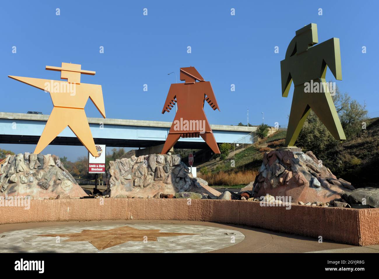 BISMARCK, NORTH DAKOTA - 3 Okt 2021: Lewis and Clark Sculpture im Keelboat Park, angrenzend an den Missouri River und Teil des Missouri Valley Legacy Stockfotohttps://www.alamy.de/image-license-details/?v=1https://www.alamy.de/bismarck-north-dakota-3-okt-2021-lewis-and-clark-sculpture-im-keelboat-park-angrenzend-an-den-missouri-river-und-teil-des-missouri-valley-legacy-image447268320.html
RF2GYJR8G–BISMARCK, NORTH DAKOTA - 3 Okt 2021: Lewis and Clark Sculpture im Keelboat Park, angrenzend an den Missouri River und Teil des Missouri Valley Legacy
 Ansicht von Little Missouri River Valley, Nord-Einheit, Theodore-Roosevelt-Nationalpark, North Dakota. Stockfotohttps://www.alamy.de/image-license-details/?v=1https://www.alamy.de/stockfoto-ansicht-von-little-missouri-river-valley-nord-einheit-theodore-roosevelt-nationalpark-north-dakota-125170892.html
RFH7J0N0–Ansicht von Little Missouri River Valley, Nord-Einheit, Theodore-Roosevelt-Nationalpark, North Dakota.
 Der River Bend mit Blick auf den Little Missouri River in der North Unit des Theodore Roosevelt National Park in North Dakota. Stockfotohttps://www.alamy.de/image-license-details/?v=1https://www.alamy.de/der-river-bend-mit-blick-auf-den-little-missouri-river-in-der-north-unit-des-theodore-roosevelt-national-park-in-north-dakota-image551905772.html
RM2R1WDCC–Der River Bend mit Blick auf den Little Missouri River in der North Unit des Theodore Roosevelt National Park in North Dakota.
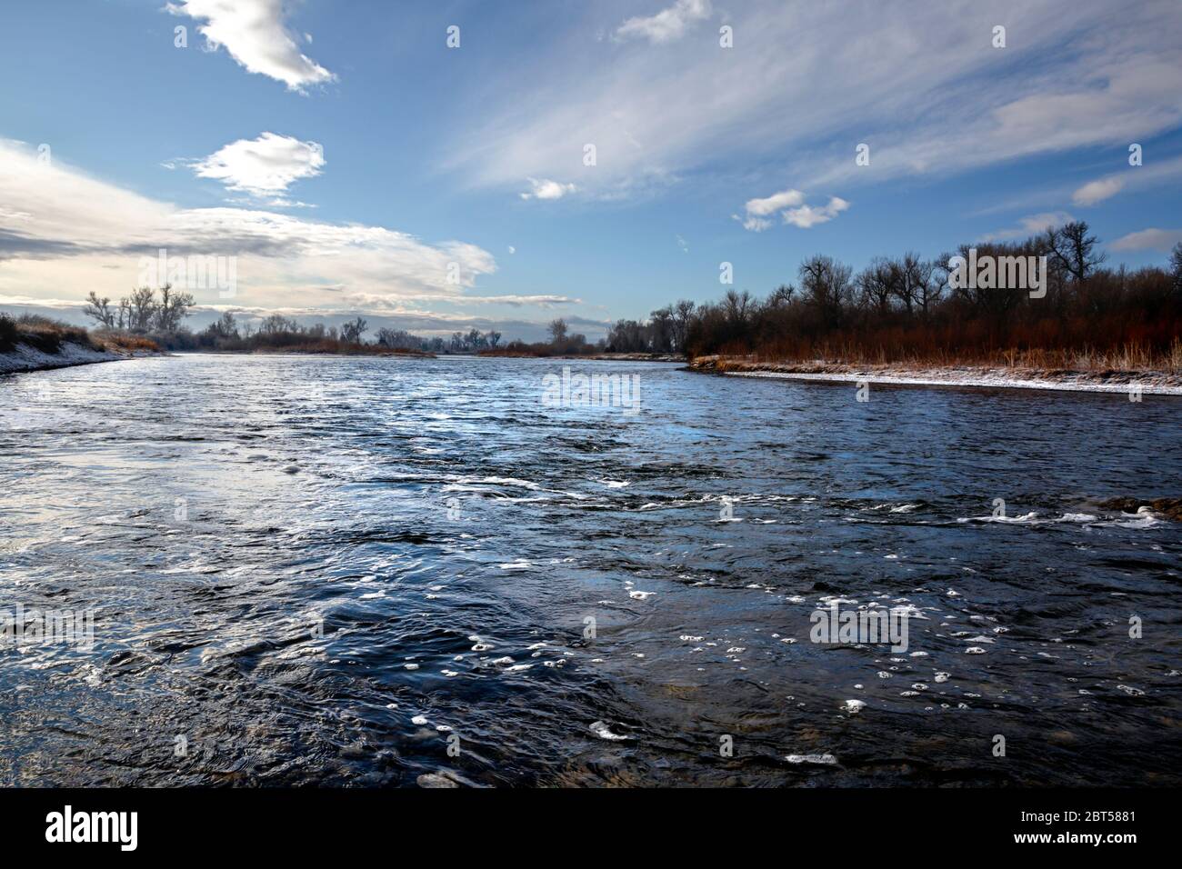 MT00528-00...MONTANA - der Madison River im Missouri Headwaters State Park. Stockfotohttps://www.alamy.de/image-license-details/?v=1https://www.alamy.de/mt00528-00montana-der-madison-river-im-missouri-headwaters-state-park-image359075361.html
RM2BT5881–MT00528-00...MONTANA - der Madison River im Missouri Headwaters State Park.
 Eine würdevolle Statue auf einer Klippe mit Blick auf den Missouri River an der Interstate 90 in der Nähe von Chamberlain, South Dakota Stockfotohttps://www.alamy.de/image-license-details/?v=1https://www.alamy.de/eine-wurdevolle-statue-auf-einer-klippe-mit-blick-auf-den-missouri-river-an-der-interstate-90-in-der-nahe-von-chamberlain-south-dakota-image499938024.html
RF2M1A41C–Eine würdevolle Statue auf einer Klippe mit Blick auf den Missouri River an der Interstate 90 in der Nähe von Chamberlain, South Dakota
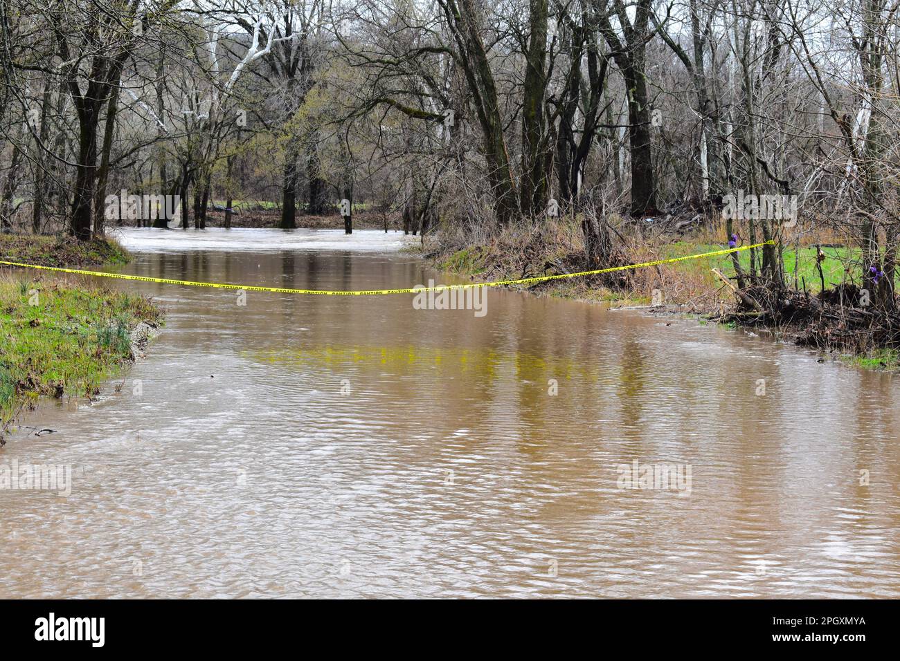 Der überflutete Niangua River in der Moon Valley Conservation Area in Dallas County, Missouri, MO, USA, USA. 24. März 2023 Stockfotohttps://www.alamy.de/image-license-details/?v=1https://www.alamy.de/der-uberflutete-niangua-river-in-der-moon-valley-conservation-area-in-dallas-county-missouri-mo-usa-usa-24-marz-2023-image543943102.html
RF2PGXMYA–Der überflutete Niangua River in der Moon Valley Conservation Area in Dallas County, Missouri, MO, USA, USA. 24. März 2023
 Little Missouri River panorama Theodore Roosevelt National Park in North Dakota Stockfotohttps://www.alamy.de/image-license-details/?v=1https://www.alamy.de/stockfoto-little-missouri-river-panorama-theodore-roosevelt-national-park-in-north-dakota-165893171.html
RFKHW2C3–Little Missouri River panorama Theodore Roosevelt National Park in North Dakota
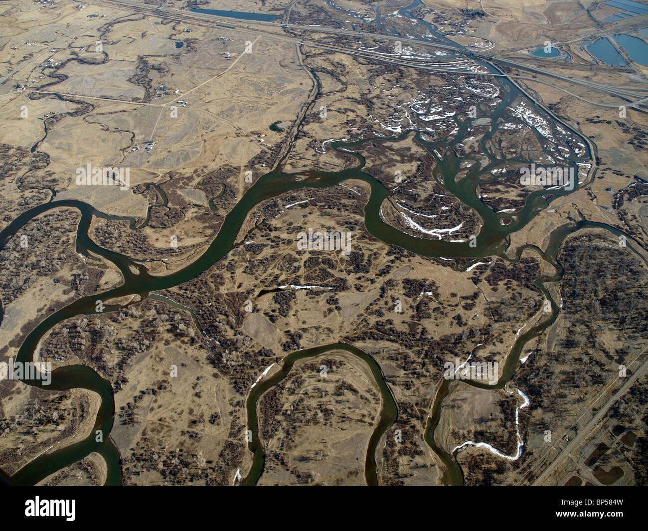 Montana-Antenne des Missouri River Oberlaufs. Die westliche Endstation der Great Plains. Stockfotohttps://www.alamy.de/image-license-details/?v=1https://www.alamy.de/stockfoto-montana-antenne-des-missouri-river-oberlaufs-die-westliche-endstation-der-great-plains-30848969.html
RFBP584W–Montana-Antenne des Missouri River Oberlaufs. Die westliche Endstation der Great Plains.
 KS: Doniphan County, Missouri River Wathena, Landschaft, eine Schotterpiste führt durch Ackerland in der Nähe des Missouri River Stockfotohttps://www.alamy.de/image-license-details/?v=1https://www.alamy.de/ks-doniphan-county-missouri-river-wathena-landschaft-eine-schotterpiste-fuhrt-durch-ackerland-in-der-nahe-des-missouri-river-image261479802.html
RMW5BC4A–KS: Doniphan County, Missouri River Wathena, Landschaft, eine Schotterpiste führt durch Ackerland in der Nähe des Missouri River
 2016 Überflutung im Valley Park, Missouri USA entlang des Meramec Flusses, Nebenfluss des Mississippi Flusses. Stockfotohttps://www.alamy.de/image-license-details/?v=1https://www.alamy.de/2016-uberflutung-im-valley-park-missouri-usa-entlang-des-meramec-flusses-nebenfluss-des-mississippi-flusses-image357769928.html
RM2BP1R5C–2016 Überflutung im Valley Park, Missouri USA entlang des Meramec Flusses, Nebenfluss des Mississippi Flusses.
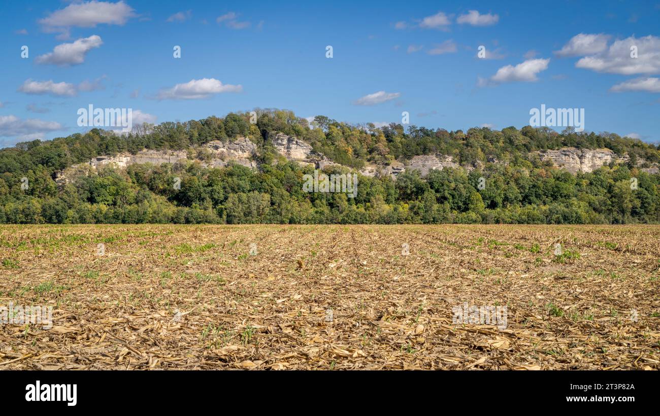 Maisfeld im Tal des Missouri River bei Hartsburg, MO Stockfotohttps://www.alamy.de/image-license-details/?v=1https://www.alamy.de/maisfeld-im-tal-des-missouri-river-bei-hartsburg-mo-image570275394.html
RF2T3P82A–Maisfeld im Tal des Missouri River bei Hartsburg, MO
 Nordamerika, USA, Rocky Mountains, Rocky Mountains, Montana, Missouri River von Fort Benton mit Blick auf Highwood Mountains Stockfotohttps://www.alamy.de/image-license-details/?v=1https://www.alamy.de/stockfoto-nordamerika-usa-rocky-mountains-rocky-mountains-montana-missouri-river-von-fort-benton-mit-blick-auf-highwood-mountains-175483277.html
RMM5DXKW–Nordamerika, USA, Rocky Mountains, Rocky Mountains, Montana, Missouri River von Fort Benton mit Blick auf Highwood Mountains
 Little Missouri River im Theodore Roosevelt National Park in North Dakota Stockfotohttps://www.alamy.de/image-license-details/?v=1https://www.alamy.de/little-missouri-river-im-theodore-roosevelt-national-park-in-north-dakota-image574216995.html
RF2TA5RHR–Little Missouri River im Theodore Roosevelt National Park in North Dakota
 Yellowstone River entlang des landschaftlich schönen Highway US 89, Montana. Stockfotohttps://www.alamy.de/image-license-details/?v=1https://www.alamy.de/stockfoto-yellowstone-river-entlang-des-landschaftlich-schonen-highway-us-89-montana-43918819.html
RFCFCJW7–Yellowstone River entlang des landschaftlich schönen Highway US 89, Montana.
 Badlands-Landschaft im Little Missouri River Valley, Theodore-Roosevelt-Nationalpark, North Unit, North Dakota, USA Stockfotohttps://www.alamy.de/image-license-details/?v=1https://www.alamy.de/stockfoto-badlands-landschaft-im-little-missouri-river-valley-theodore-roosevelt-nationalpark-north-unit-north-dakota-usa-27024125.html
RMBFY1F9–Badlands-Landschaft im Little Missouri River Valley, Theodore-Roosevelt-Nationalpark, North Unit, North Dakota, USA
 Milk River und die fernen bearpaw Mountains in der Nähe von havre, montana Stockfotohttps://www.alamy.de/image-license-details/?v=1https://www.alamy.de/milk-river-und-die-fernen-bearpaw-mountains-in-der-nahe-von-havre-montana-image433105115.html
RM2G4HHYR–Milk River und die fernen bearpaw Mountains in der Nähe von havre, montana
 Der Missouri River im versteckten Canyon Stockfotohttps://www.alamy.de/image-license-details/?v=1https://www.alamy.de/der-missouri-river-im-versteckten-canyon-image627004710.html
RF2YC2EWA–Der Missouri River im versteckten Canyon
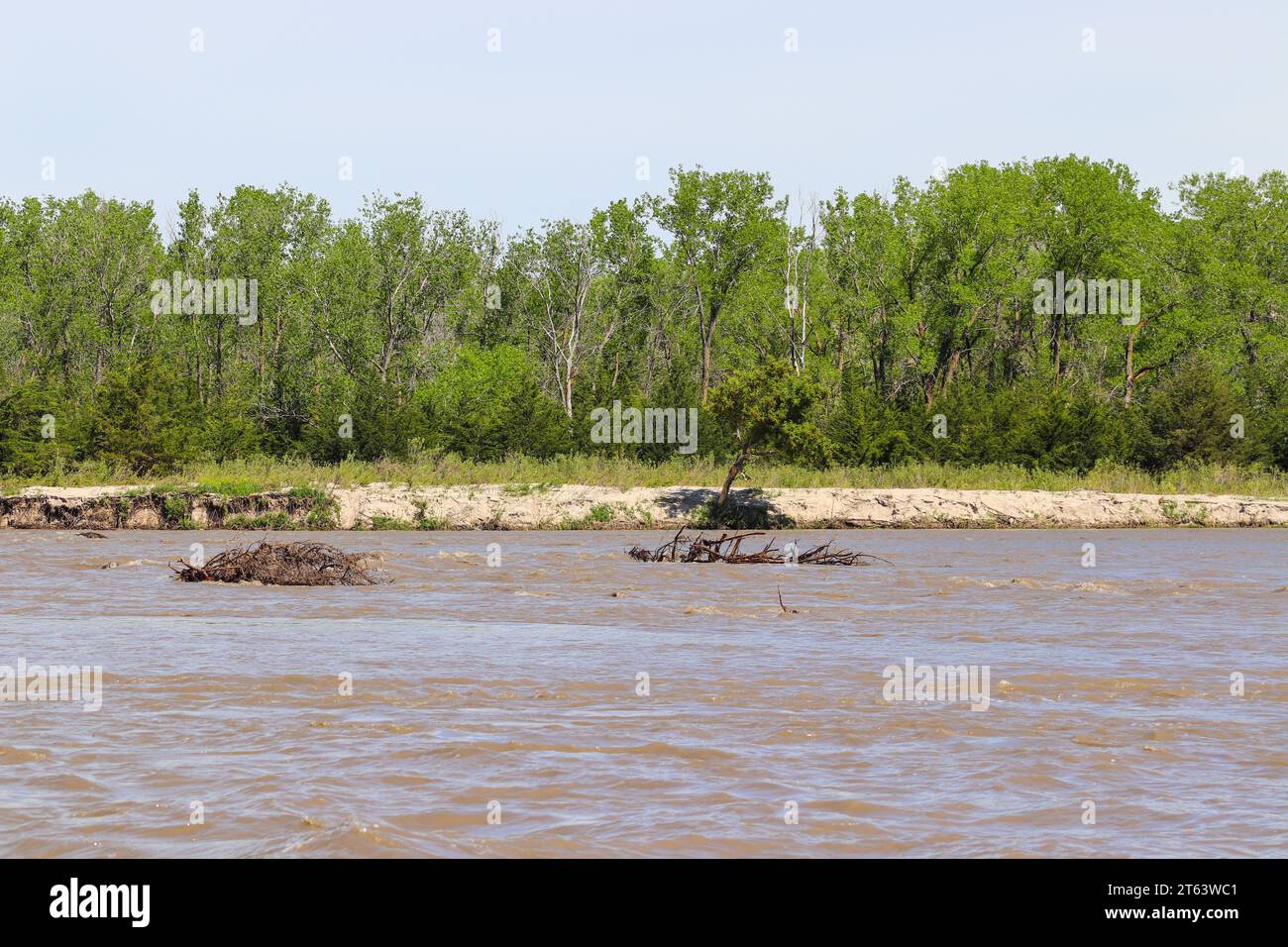 Niobrara River Missouri River bei Lynch Nebraska. Hochwertige Fotos Stockfotohttps://www.alamy.de/image-license-details/?v=1https://www.alamy.de/niobrara-river-missouri-river-bei-lynch-nebraska-hochwertige-fotos-image571715873.html
RF2T63WC1–Niobrara River Missouri River bei Lynch Nebraska. Hochwertige Fotos
 Little Missouri River abgedeckt im Nebel vom Fluss übersehen, Theodore-Roosevelt-Nationalpark, ND, USA Stockfotohttps://www.alamy.de/image-license-details/?v=1https://www.alamy.de/stockfoto-little-missouri-river-abgedeckt-im-nebel-vom-fluss-ubersehen-theodore-roosevelt-nationalpark-nd-usa-135165465.html
RMHRW8X1–Little Missouri River abgedeckt im Nebel vom Fluss übersehen, Theodore-Roosevelt-Nationalpark, ND, USA
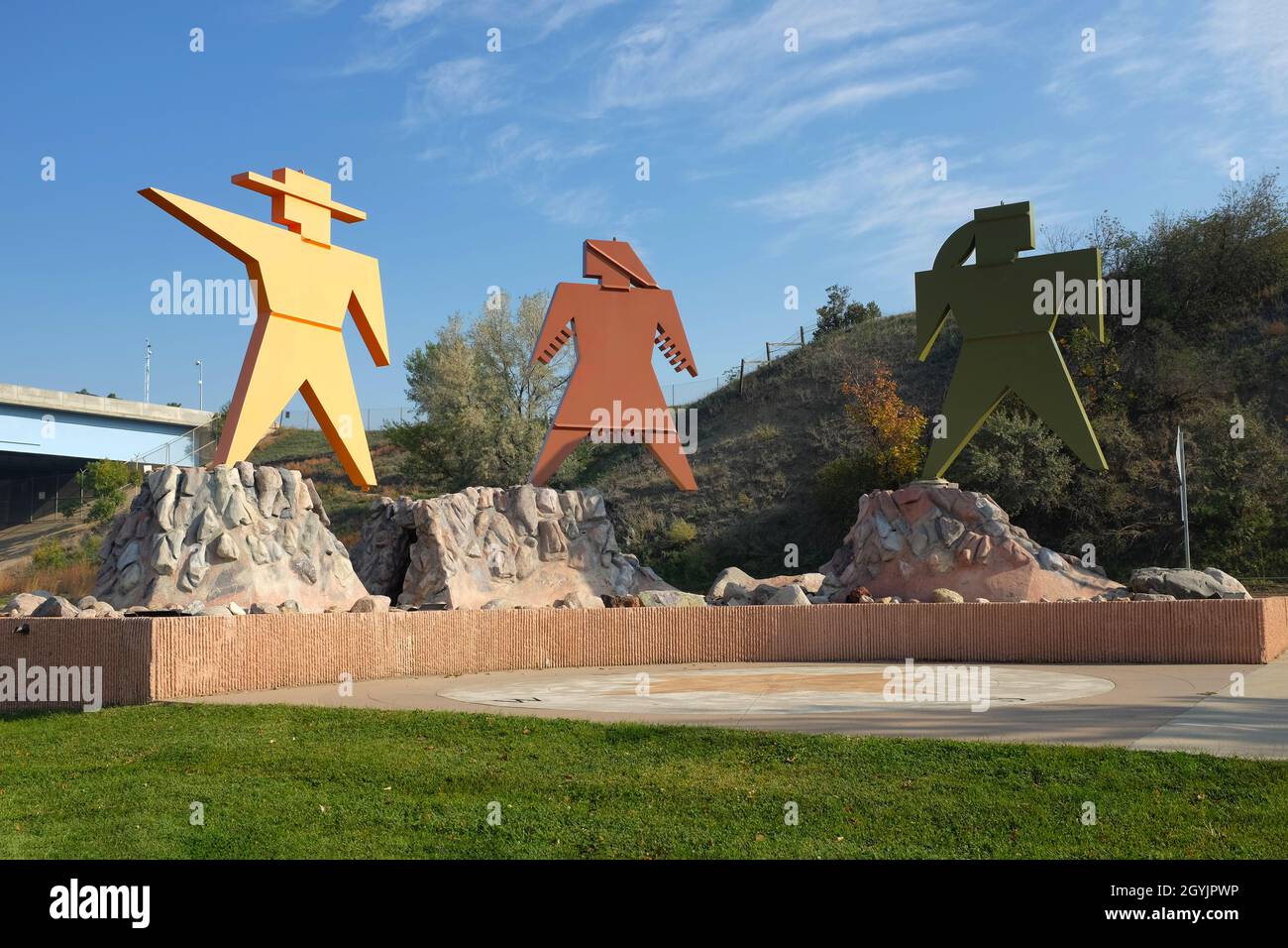 BISMARCK, NORTH DAKOTA - 3 Okt 2021: Lewis and Clark Sculpture im Keelboat Park, angrenzend an den Missouri River und Teil des Missouri Valley Legacy Stockfotohttps://www.alamy.de/image-license-details/?v=1https://www.alamy.de/bismarck-north-dakota-3-okt-2021-lewis-and-clark-sculpture-im-keelboat-park-angrenzend-an-den-missouri-river-und-teil-des-missouri-valley-legacy-image447268018.html
RF2GYJPWP–BISMARCK, NORTH DAKOTA - 3 Okt 2021: Lewis and Clark Sculpture im Keelboat Park, angrenzend an den Missouri River und Teil des Missouri Valley Legacy
 Little Missouri River Valley von Oxbow übersehen,, Theodore-Roosevelt-Nationalpark, North Unit, North Dakota. Stockfotohttps://www.alamy.de/image-license-details/?v=1https://www.alamy.de/stockfoto-little-missouri-river-valley-von-oxbow-ubersehen-theodore-roosevelt-nationalpark-north-unit-north-dakota-123834453.html
RFH5D431–Little Missouri River Valley von Oxbow übersehen,, Theodore-Roosevelt-Nationalpark, North Unit, North Dakota.
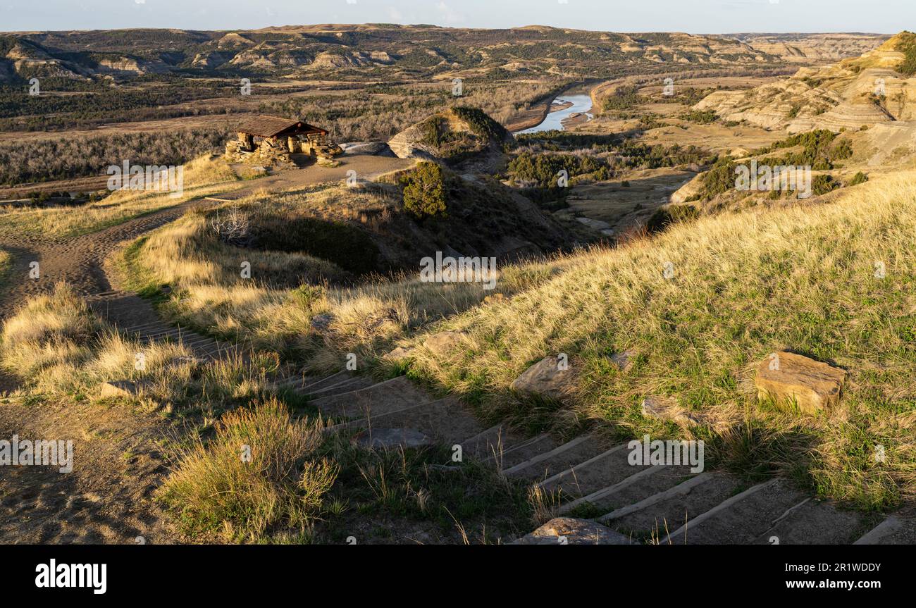 Das CCC-Schutzgebiet am River Bend mit Blick auf den Little Missouri River in der North Unit des Theodore Roosevelt National Park in North Dakota. Stockfotohttps://www.alamy.de/image-license-details/?v=1https://www.alamy.de/das-ccc-schutzgebiet-am-river-bend-mit-blick-auf-den-little-missouri-river-in-der-north-unit-des-theodore-roosevelt-national-park-in-north-dakota-image551905815.html
RM2R1WDDY–Das CCC-Schutzgebiet am River Bend mit Blick auf den Little Missouri River in der North Unit des Theodore Roosevelt National Park in North Dakota.
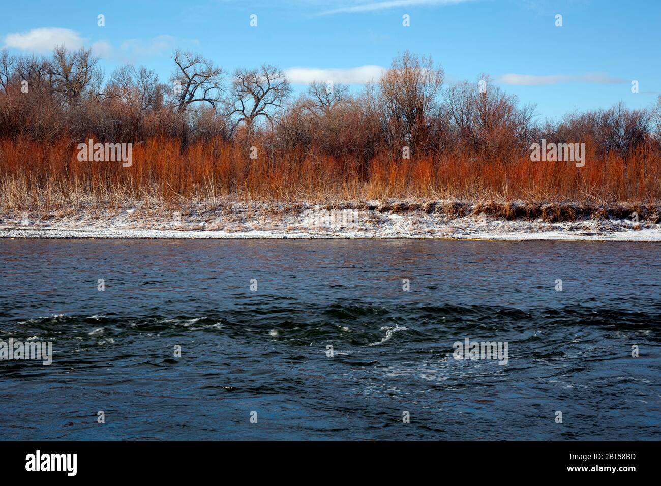 MT00532-00...MONTANA - Madison River in der Nähe seines Zusammenflusses mit dem Jefferson River im Missouri Headwaters State Park. Stockfotohttps://www.alamy.de/image-license-details/?v=1https://www.alamy.de/mt00532-00montana-madison-river-in-der-nahe-seines-zusammenflusses-mit-dem-jefferson-river-im-missouri-headwaters-state-park-image359075457.html
RM2BT58BD–MT00532-00...MONTANA - Madison River in der Nähe seines Zusammenflusses mit dem Jefferson River im Missouri Headwaters State Park.
 Eine würdevolle Statue auf einer Klippe mit Blick auf den Missouri River an der Interstate 90 in der Nähe von Chamberlain, South Dakota Stockfotohttps://www.alamy.de/image-license-details/?v=1https://www.alamy.de/eine-wurdevolle-statue-auf-einer-klippe-mit-blick-auf-den-missouri-river-an-der-interstate-90-in-der-nahe-von-chamberlain-south-dakota-image499937539.html
RF2M1A3C3–Eine würdevolle Statue auf einer Klippe mit Blick auf den Missouri River an der Interstate 90 in der Nähe von Chamberlain, South Dakota
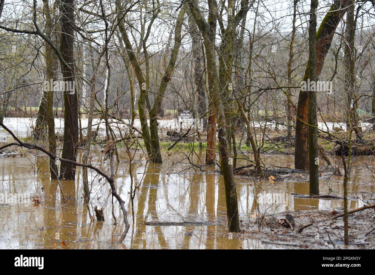 Der überflutete Niangua River in der Moon Valley Conservation Area in Dallas County, Missouri, MO, USA, USA. Gans auf der Bank. 24. März 2023 Stockfotohttps://www.alamy.de/image-license-details/?v=1https://www.alamy.de/der-uberflutete-niangua-river-in-der-moon-valley-conservation-area-in-dallas-county-missouri-mo-usa-usa-gans-auf-der-bank-24-marz-2023-image543943287.html
RF2PGXN5Y–Der überflutete Niangua River in der Moon Valley Conservation Area in Dallas County, Missouri, MO, USA, USA. Gans auf der Bank. 24. März 2023
 Wanderweg auf flachen Hügeln von Missouri. Stockfotohttps://www.alamy.de/image-license-details/?v=1https://www.alamy.de/stockfoto-wanderweg-auf-flachen-hugeln-von-missouri-50712264.html
RFCXE408–Wanderweg auf flachen Hügeln von Missouri.
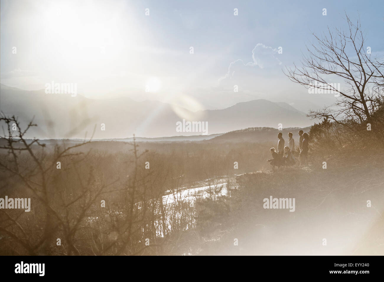 Berge über Fluss in ländlichen Landschaft Stockfotohttps://www.alamy.de/image-license-details/?v=1https://www.alamy.de/stockfoto-berge-uber-fluss-in-landlichen-landschaft-86031568.html
RFEYY240–Berge über Fluss in ländlichen Landschaft
 KS: Doniphan County, Missouri River Wathena, Landschaft, eine Schotterpiste führt durch Ackerland in der Nähe des Missouri River Stockfotohttps://www.alamy.de/image-license-details/?v=1https://www.alamy.de/ks-doniphan-county-missouri-river-wathena-landschaft-eine-schotterpiste-fuhrt-durch-ackerland-in-der-nahe-des-missouri-river-image261479857.html
RMW5BC69–KS: Doniphan County, Missouri River Wathena, Landschaft, eine Schotterpiste führt durch Ackerland in der Nähe des Missouri River
 2016 Überflutung im Valley Park, Missouri USA entlang des Meramec Flusses, Nebenfluss des Mississippi Flusses. Stockfotohttps://www.alamy.de/image-license-details/?v=1https://www.alamy.de/2016-uberflutung-im-valley-park-missouri-usa-entlang-des-meramec-flusses-nebenfluss-des-mississippi-flusses-image357770012.html
RM2BP1R8C–2016 Überflutung im Valley Park, Missouri USA entlang des Meramec Flusses, Nebenfluss des Mississippi Flusses.
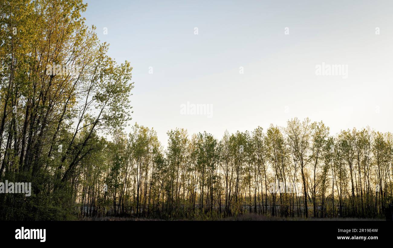 Dämmerung über dem Uferwald und Deich im Tal des Missouri River bei Dalton Bottoms Stockfotohttps://www.alamy.de/image-license-details/?v=1https://www.alamy.de/dammerung-uber-dem-uferwald-und-deich-im-tal-des-missouri-river-bei-dalton-bottoms-image551555113.html
RF2R19E4W–Dämmerung über dem Uferwald und Deich im Tal des Missouri River bei Dalton Bottoms
 Frühlingslandschaft in North Dakota Stockfotohttps://www.alamy.de/image-license-details/?v=1https://www.alamy.de/fruhlingslandschaft-in-north-dakota-image627208753.html
RF2YCBR4H–Frühlingslandschaft in North Dakota
 Little Missouri River im Theodore Roosevelt National Park in North Dakota Stockfotohttps://www.alamy.de/image-license-details/?v=1https://www.alamy.de/little-missouri-river-im-theodore-roosevelt-national-park-in-north-dakota-image574216993.html
RF2TA5RHN–Little Missouri River im Theodore Roosevelt National Park in North Dakota
 Yellowstone River im Südwesten von Montana entlang Scenic Highway 89. Der Yellowstone ist der letzte frei fließende Fluss in den unteren 48 Staaten. Stockfotohttps://www.alamy.de/image-license-details/?v=1https://www.alamy.de/yellowstone-river-im-sudwesten-von-montana-entlang-scenic-highway-89-der-yellowstone-ist-der-letzte-frei-fliessende-fluss-in-den-unteren-48-staaten-image208292262.html
RFP2TEWA–Yellowstone River im Südwesten von Montana entlang Scenic Highway 89. Der Yellowstone ist der letzte frei fließende Fluss in den unteren 48 Staaten.
 Erodierte Hänge im Little Missouri River Valley, Theodore-Roosevelt-Nationalpark, North Unit, North Dakota, USA Stockfotohttps://www.alamy.de/image-license-details/?v=1https://www.alamy.de/stockfoto-erodierte-hange-im-little-missouri-river-valley-theodore-roosevelt-nationalpark-north-unit-north-dakota-usa-27025053.html
RMBFY2MD–Erodierte Hänge im Little Missouri River Valley, Theodore-Roosevelt-Nationalpark, North Unit, North Dakota, USA
 Milk River und die fernen bearpaw Mountains in der Nähe von havre, montana Stockfotohttps://www.alamy.de/image-license-details/?v=1https://www.alamy.de/milk-river-und-die-fernen-bearpaw-mountains-in-der-nahe-von-havre-montana-image433105109.html
RM2G4HHYH–Milk River und die fernen bearpaw Mountains in der Nähe von havre, montana
 Der Missouri River im versteckten Canyon Stockfotohttps://www.alamy.de/image-license-details/?v=1https://www.alamy.de/der-missouri-river-im-versteckten-canyon-image627004712.html
RF2YC2EWC–Der Missouri River im versteckten Canyon
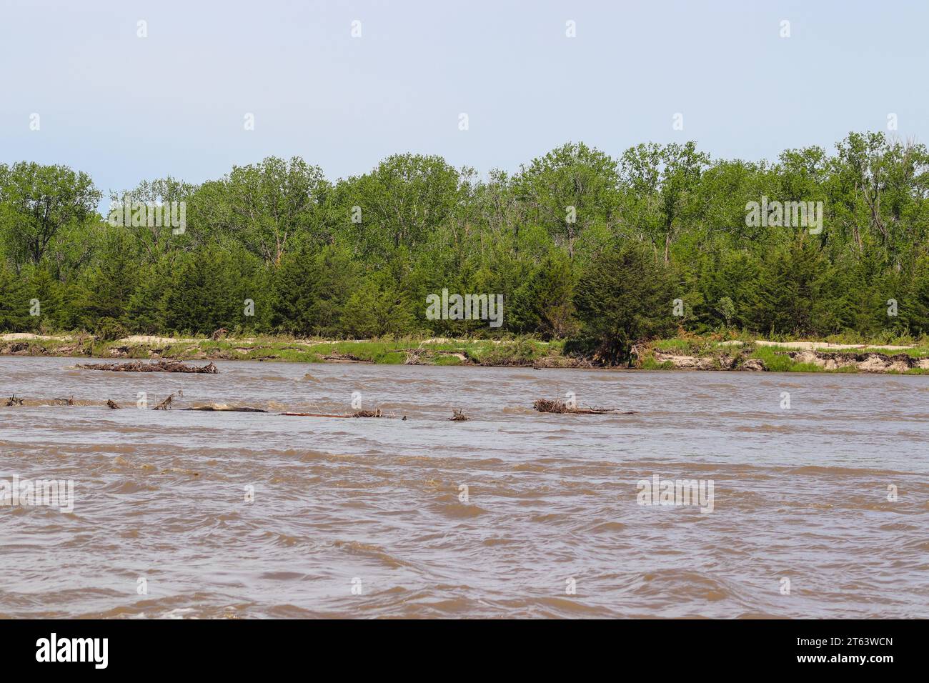 Niobrara River Missouri River bei Lynch Nebraska. Hochwertige Fotos Stockfotohttps://www.alamy.de/image-license-details/?v=1https://www.alamy.de/niobrara-river-missouri-river-bei-lynch-nebraska-hochwertige-fotos-image571715893.html
RF2T63WCN–Niobrara River Missouri River bei Lynch Nebraska. Hochwertige Fotos
 Little Missouri River und CCC Tierheim am River Bend übersehen, Theodore-Roosevelt-Nationalpark, ND, USA Stockfotohttps://www.alamy.de/image-license-details/?v=1https://www.alamy.de/stockfoto-little-missouri-river-und-ccc-tierheim-am-river-bend-ubersehen-theodore-roosevelt-nationalpark-nd-usa-135165481.html
RMHRW8XH–Little Missouri River und CCC Tierheim am River Bend übersehen, Theodore-Roosevelt-Nationalpark, ND, USA
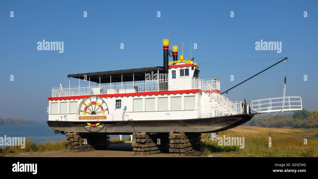 BISMARCK, NORTH DAKOTA - 3 Okt 2021: Lewis and Clark Riverboat im Trockendock für den Winter, bietet Kreuzfahrten auf dem Missouri River an. Stockfotohttps://www.alamy.de/image-license-details/?v=1https://www.alamy.de/bismarck-north-dakota-3-okt-2021-lewis-and-clark-riverboat-im-trockendock-fur-den-winter-bietet-kreuzfahrten-auf-dem-missouri-river-an-image447269160.html
RF2GYJTAG–BISMARCK, NORTH DAKOTA - 3 Okt 2021: Lewis and Clark Riverboat im Trockendock für den Winter, bietet Kreuzfahrten auf dem Missouri River an.
 Blick auf das Tal in Defiance, Missouri, USA vom Defiance Ridge Vineyard. Stockfotohttps://www.alamy.de/image-license-details/?v=1https://www.alamy.de/blick-auf-das-tal-in-defiance-missouri-usa-vom-defiance-ridge-vineyard-image370015169.html
RF2CDYJ3D–Blick auf das Tal in Defiance, Missouri, USA vom Defiance Ridge Vineyard.
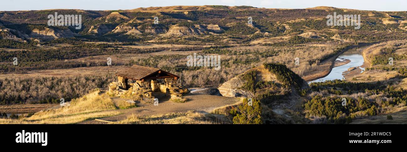 Das CCC-Schutzgebiet am River Bend mit Blick auf den Little Missouri River in der North Unit des Theodore Roosevelt National Park in North Dakota. Stockfotohttps://www.alamy.de/image-license-details/?v=1https://www.alamy.de/das-ccc-schutzgebiet-am-river-bend-mit-blick-auf-den-little-missouri-river-in-der-north-unit-des-theodore-roosevelt-national-park-in-north-dakota-image551905765.html
RM2R1WDC5–Das CCC-Schutzgebiet am River Bend mit Blick auf den Little Missouri River in der North Unit des Theodore Roosevelt National Park in North Dakota.
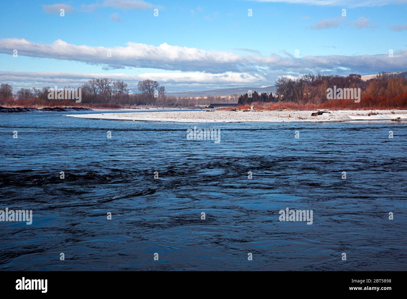 MT00529-00...MONTANA - der Madison River an seinem Zusammenfluss mit dem Jefferson River im Missouri Headwaters State Park. Stockfotohttps://www.alamy.de/image-license-details/?v=1https://www.alamy.de/mt00529-00montana-der-madison-river-an-seinem-zusammenfluss-mit-dem-jefferson-river-im-missouri-headwaters-state-park-image359075396.html
RM2BT5898–MT00529-00...MONTANA - der Madison River an seinem Zusammenfluss mit dem Jefferson River im Missouri Headwaters State Park.
 Nordamerika, USA, Rocky Mountains, Rocky Mountains, Montana, Missouri River von Fort Benton mit Blick auf Highwood Mountains Stockfotohttps://www.alamy.de/image-license-details/?v=1https://www.alamy.de/nordamerika-usa-rocky-mountains-rocky-mountains-montana-missouri-river-von-fort-benton-mit-blick-auf-highwood-mountains-image634366832.html
RM2YT1WA8–Nordamerika, USA, Rocky Mountains, Rocky Mountains, Montana, Missouri River von Fort Benton mit Blick auf Highwood Mountains
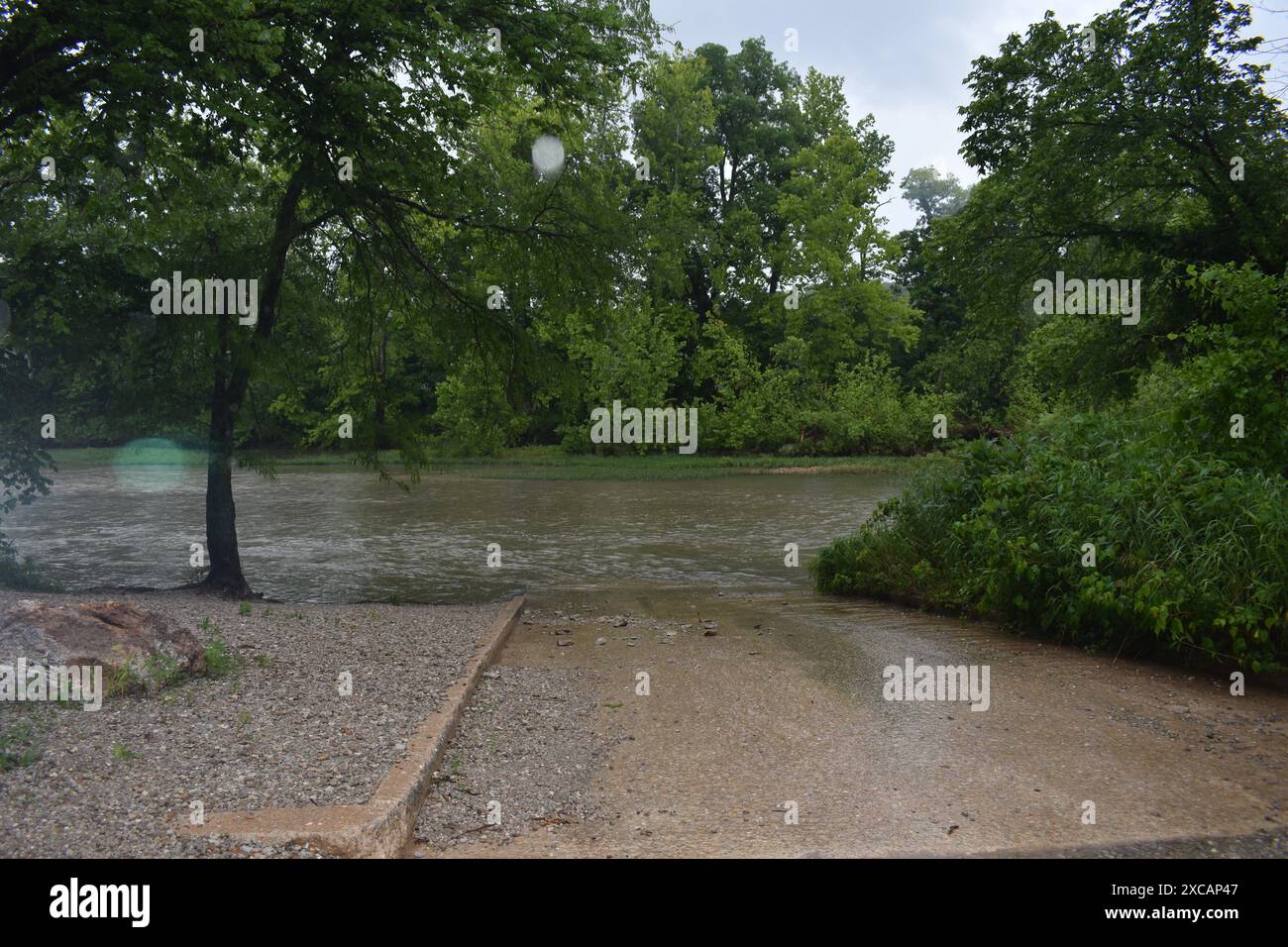 Der Niangua River steigt auf und steigt auf der Bootsrampe am Moon Valley Access (Dallas County, Missouri, USA) aufgrund der jüngsten Regenfälle auf. MDC Stockfotohttps://www.alamy.de/image-license-details/?v=1https://www.alamy.de/der-niangua-river-steigt-auf-und-steigt-auf-der-bootsrampe-am-moon-valley-access-dallas-county-missouri-usa-aufgrund-der-jungsten-regenfalle-auf-mdc-image609975639.html
RF2XCAP47–Der Niangua River steigt auf und steigt auf der Bootsrampe am Moon Valley Access (Dallas County, Missouri, USA) aufgrund der jüngsten Regenfälle auf. MDC
 180 Grad Panorama von Missouri River in South Dakota Stockfotohttps://www.alamy.de/image-license-details/?v=1https://www.alamy.de/180-grad-panorama-von-missouri-river-in-south-dakota-image273589417.html
RFWW322H–180 Grad Panorama von Missouri River in South Dakota
 Blick auf den Marias River und den Missouri River am Decision Point der Lewis and Clark Expedition in Montana Stockfotohttps://www.alamy.de/image-license-details/?v=1https://www.alamy.de/blick-auf-den-marias-river-und-den-missouri-river-am-decision-point-der-lewis-and-clark-expedition-in-montana-image627255454.html
RF2YCDXME–Blick auf den Marias River und den Missouri River am Decision Point der Lewis and Clark Expedition in Montana
 KS: Doniphan County, Missouri River Wathena, Landschaft, Panorama, eine Schotterpiste führt durch Ackerland in der Nähe des Missouri River Stockfotohttps://www.alamy.de/image-license-details/?v=1https://www.alamy.de/ks-doniphan-county-missouri-river-wathena-landschaft-panorama-eine-schotterpiste-fuhrt-durch-ackerland-in-der-nahe-des-missouri-river-image261479847.html
RMW5BC5Y–KS: Doniphan County, Missouri River Wathena, Landschaft, Panorama, eine Schotterpiste führt durch Ackerland in der Nähe des Missouri River
 2016 Überflutung im Valley Park, Missouri USA entlang des Meramec Flusses, Nebenfluss des Mississippi Flusses. Stockfotohttps://www.alamy.de/image-license-details/?v=1https://www.alamy.de/2016-uberflutung-im-valley-park-missouri-usa-entlang-des-meramec-flusses-nebenfluss-des-mississippi-flusses-image357769998.html
RM2BP1R7X–2016 Überflutung im Valley Park, Missouri USA entlang des Meramec Flusses, Nebenfluss des Mississippi Flusses.
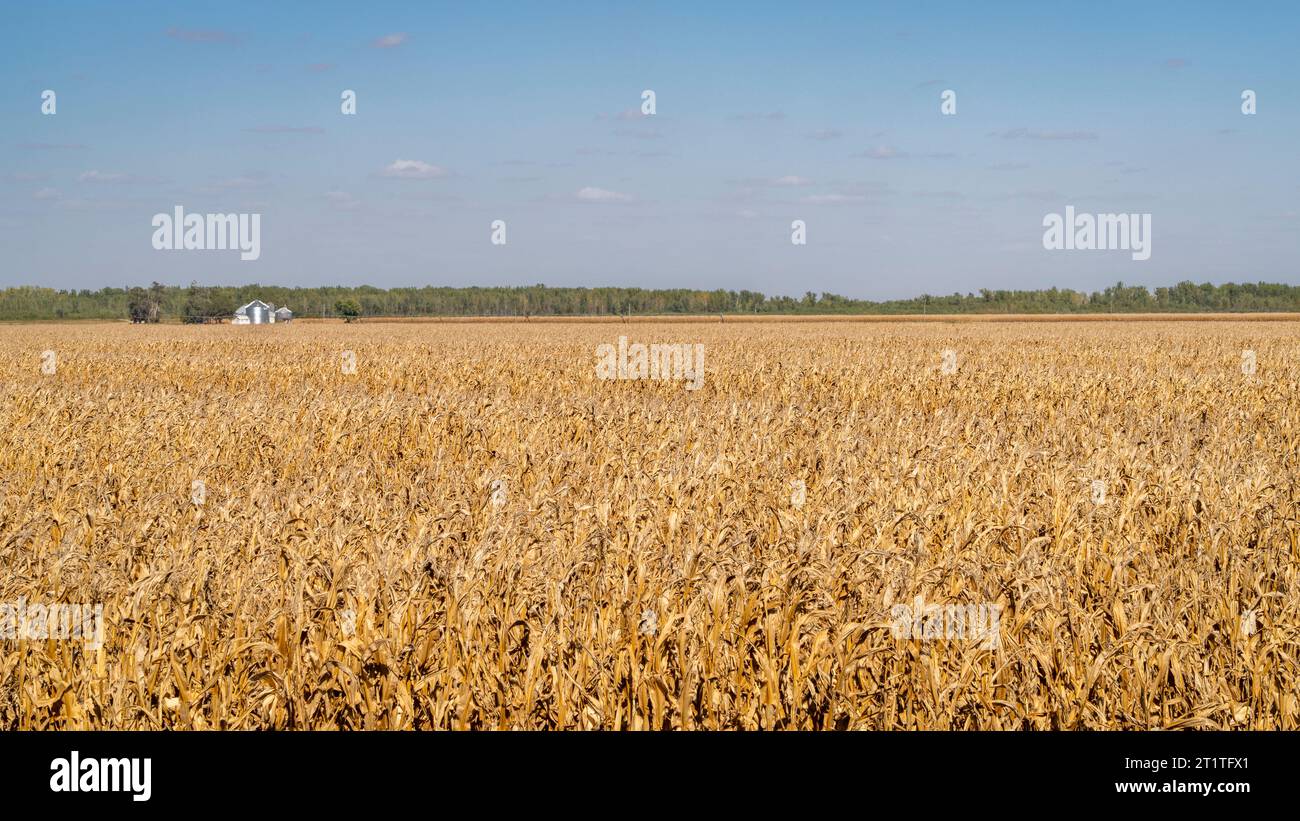 Maisfeld bereit für die Ernte im Tal des Missouri River in der Nähe von Peru, Nebraska Stockfotohttps://www.alamy.de/image-license-details/?v=1https://www.alamy.de/maisfeld-bereit-fur-die-ernte-im-tal-des-missouri-river-in-der-nahe-von-peru-nebraska-image569096137.html
RF2T1TFX1–Maisfeld bereit für die Ernte im Tal des Missouri River in der Nähe von Peru, Nebraska
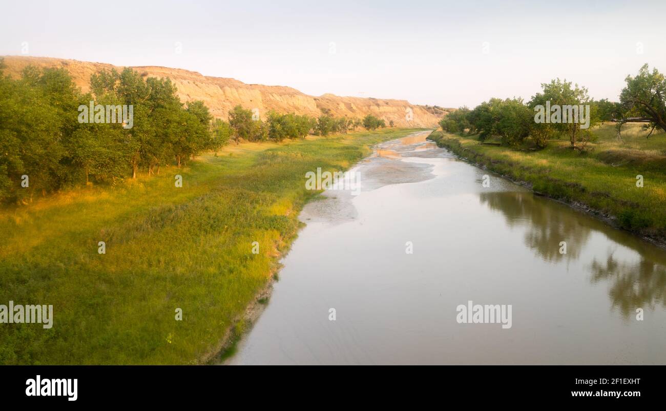 Little Missouri River Montana Nordamerika USA Stockfotohttps://www.alamy.de/image-license-details/?v=1https://www.alamy.de/little-missouri-river-montana-nordamerika-usa-image413991700.html
RF2F1EXHT–Little Missouri River Montana Nordamerika USA
 Little Missouri River im Theodore Roosevelt National Park in North Dakota Stockfotohttps://www.alamy.de/image-license-details/?v=1https://www.alamy.de/little-missouri-river-im-theodore-roosevelt-national-park-in-north-dakota-image574216994.html
RF2TA5RHP–Little Missouri River im Theodore Roosevelt National Park in North Dakota
 Elk256 2251 North Dakota Theodore Roosevelt NP Little Missouri River Valley Wind Canyon Stockfotohttps://www.alamy.de/image-license-details/?v=1https://www.alamy.de/stockfoto-elk256-2251-north-dakota-theodore-roosevelt-np-little-missouri-river-valley-wind-canyon-12716813.html
RMAAXA9J–Elk256 2251 North Dakota Theodore Roosevelt NP Little Missouri River Valley Wind Canyon
 Pappeln und Wacholder in Little Missouri River Valley, Theodore-Roosevelt-Nationalpark, North Einheit, North Dakota, USA Stockfotohttps://www.alamy.de/image-license-details/?v=1https://www.alamy.de/stockfoto-pappeln-und-wacholder-in-little-missouri-river-valley-theodore-roosevelt-nationalpark-north-einheit-north-dakota-usa-27024188.html
RMBFY1HG–Pappeln und Wacholder in Little Missouri River Valley, Theodore-Roosevelt-Nationalpark, North Einheit, North Dakota, USA
 Milk River und die fernen bearpaw Mountains in der Nähe von havre, montana Stockfotohttps://www.alamy.de/image-license-details/?v=1https://www.alamy.de/milk-river-und-die-fernen-bearpaw-mountains-in-der-nahe-von-havre-montana-image433105031.html
RM2G4HHTR–Milk River und die fernen bearpaw Mountains in der Nähe von havre, montana
 Der Missouri River im versteckten Canyon Stockfotohttps://www.alamy.de/image-license-details/?v=1https://www.alamy.de/der-missouri-river-im-versteckten-canyon-image627004715.html
RF2YC2EWF–Der Missouri River im versteckten Canyon
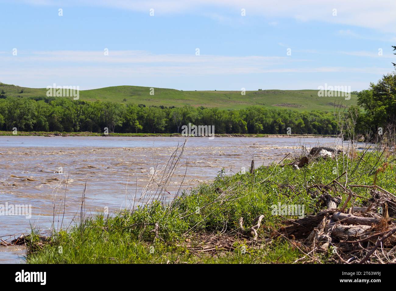 Niobrara River Missouri River bei Lynch Nebraska. Hochwertige Fotos Stockfotohttps://www.alamy.de/image-license-details/?v=1https://www.alamy.de/niobrara-river-missouri-river-bei-lynch-nebraska-hochwertige-fotos-image571715806.html
RF2T63W9J–Niobrara River Missouri River bei Lynch Nebraska. Hochwertige Fotos