Schnellfilter:
Luftdrohne england Stockfotos & Bilder
 Mow Cop Aerial Drone Stoke auf Trent Tourist Site Stockfotohttps://www.alamy.de/image-license-details/?v=1https://www.alamy.de/mow-cop-aerial-drone-stoke-auf-trent-tourist-site-image473139060.html
RM2JDN9KG–Mow Cop Aerial Drone Stoke auf Trent Tourist Site
 Drohnenfoto des kleinen Dorfes Pately Bridge in North-Yorkshire, England. Stockfotohttps://www.alamy.de/image-license-details/?v=1https://www.alamy.de/drohnenfoto-des-kleinen-dorfes-pately-bridge-in-north-yorkshire-england-image556565458.html
RF2R9DMWP–Drohnenfoto des kleinen Dorfes Pately Bridge in North-Yorkshire, England.
 Eine Luftaufnahme des schönen Flusses Ouse inmitten grüner Parks in England Stockfotohttps://www.alamy.de/image-license-details/?v=1https://www.alamy.de/eine-luftaufnahme-des-schonen-flusses-ouse-inmitten-gruner-parks-in-england-image476742168.html
RF2JKHDE0–Eine Luftaufnahme des schönen Flusses Ouse inmitten grüner Parks in England
 Bullen auf Devon Fields und Meadows von einer Drohne, English Village, England, Europa Stockfotohttps://www.alamy.de/image-license-details/?v=1https://www.alamy.de/bullen-auf-devon-fields-und-meadows-von-einer-drohne-english-village-england-europa-image468988239.html
RF2J7077Y–Bullen auf Devon Fields und Meadows von einer Drohne, English Village, England, Europa
 Denton Community College in Denton, Manchester. Stockfotohttps://www.alamy.de/image-license-details/?v=1https://www.alamy.de/denton-community-college-in-denton-manchester-image617543753.html
RM2XTKFA1–Denton Community College in Denton, Manchester.
 Eine Drohnenaufnahme vom Hafen von Middlesbrough, Teeside, Nordostengland, Großbritannien, Stockfotohttps://www.alamy.de/image-license-details/?v=1https://www.alamy.de/eine-drohnenaufnahme-vom-hafen-von-middlesbrough-teeside-nordostengland-grossbritannien-image616739839.html
RM2XRAWXR–Eine Drohnenaufnahme vom Hafen von Middlesbrough, Teeside, Nordostengland, Großbritannien,
 Großbritannien, England, Dorset, Portland Bill, Portland Bill Lighthouse (Drone) Stockfotohttps://www.alamy.de/image-license-details/?v=1https://www.alamy.de/grossbritannien-england-dorset-portland-bill-portland-bill-lighthouse-drone-image351340038.html
RF2BBGWPE–Großbritannien, England, Dorset, Portland Bill, Portland Bill Lighthouse (Drone)
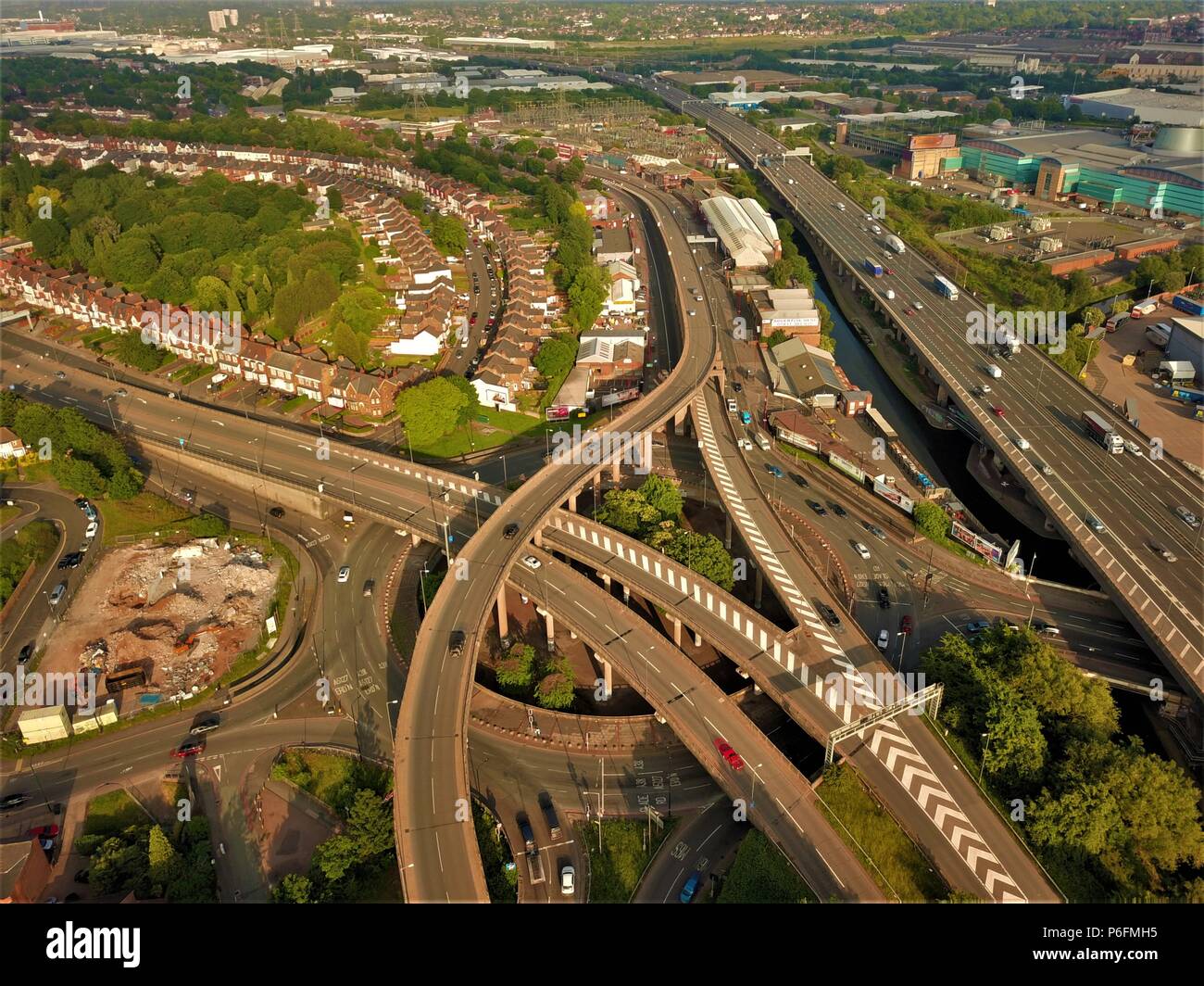 Autobahn Luftbild in Birmingham, England, Spaghetti Junction drone Foto Stockfotohttps://www.alamy.de/image-license-details/?v=1https://www.alamy.de/autobahn-luftbild-in-birmingham-england-spaghetti-junction-drone-foto-image210557793.html
RFP6FMH5–Autobahn Luftbild in Birmingham, England, Spaghetti Junction drone Foto
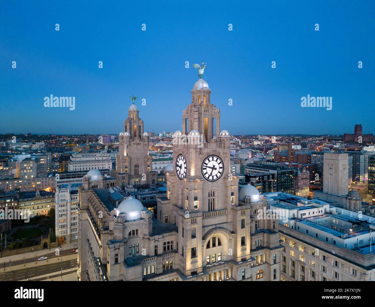 Drohnenansicht des Leberbaus und der Lebervögel, Merseyside, England Stockfotohttps://www.alamy.de/image-license-details/?v=1https://www.alamy.de/drohnenansicht-des-leberbaus-und-der-lebervogel-merseyside-england-image486764957.html
RF2K7X1JN–Drohnenansicht des Leberbaus und der Lebervögel, Merseyside, England
 Luftaufnahme des Flusses FAL in der Nähe von Philleigh in Cornwall, England. Frühjahr (Mai) 2022. Stockfotohttps://www.alamy.de/image-license-details/?v=1https://www.alamy.de/luftaufnahme-des-flusses-fal-in-der-nahe-von-philleigh-in-cornwall-england-fruhjahr-mai-2022-image574366730.html
RM2TACJHE–Luftaufnahme des Flusses FAL in der Nähe von Philleigh in Cornwall, England. Frühjahr (Mai) 2022.
 Luftaufnahme der St Mary's Church of England (Aided) Primary School in Chipping Norton, Oxfordshire Stockfotohttps://www.alamy.de/image-license-details/?v=1https://www.alamy.de/luftaufnahme-der-st-marys-church-of-england-aided-primary-school-in-chipping-norton-oxfordshire-image385018765.html
RM2DAB3A5–Luftaufnahme der St Mary's Church of England (Aided) Primary School in Chipping Norton, Oxfordshire
 Drone, England, Großbritannien Stockfotohttps://www.alamy.de/image-license-details/?v=1https://www.alamy.de/drone-england-grossbritannien-image242437736.html
RFT2BYPG–Drone, England, Großbritannien
 Antenne Vista über der Badewanne von Alexandra Park, Badewanne, Somerset, England, Vereinigtes Königreich, Europa Stockfotohttps://www.alamy.de/image-license-details/?v=1https://www.alamy.de/antenne-vista-uber-der-badewanne-von-alexandra-park-badewanne-somerset-england-vereinigtes-konigreich-europa-image274149205.html
RMWX0G31–Antenne Vista über der Badewanne von Alexandra Park, Badewanne, Somerset, England, Vereinigtes Königreich, Europa
 Luftaufnahme von oben nach unten über Schienen in England Stockfotohttps://www.alamy.de/image-license-details/?v=1https://www.alamy.de/luftaufnahme-von-oben-nach-unten-uber-schienen-in-england-image370254435.html
RF2CEAF8K–Luftaufnahme von oben nach unten über Schienen in England
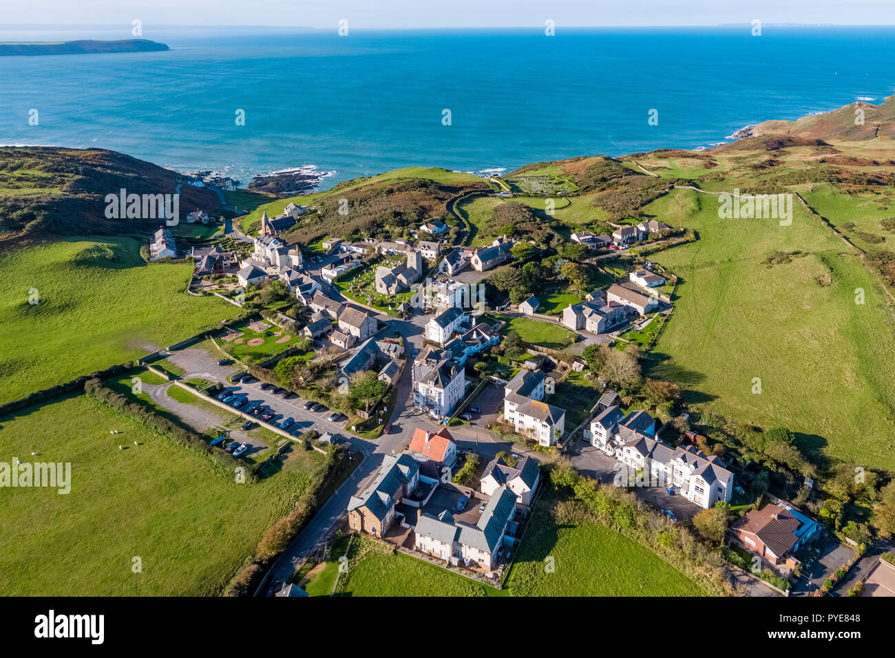 Luftaufnahme über dem Dorf Mortehoe, North Devon, England Stockfotohttps://www.alamy.de/image-license-details/?v=1https://www.alamy.de/luftaufnahme-uber-dem-dorf-mortehoe-north-devon-england-image223433848.html
RMPYE848–Luftaufnahme über dem Dorf Mortehoe, North Devon, England
 Didcot Power Station Stockfotohttps://www.alamy.de/image-license-details/?v=1https://www.alamy.de/didcot-power-station-image457544375.html
RF2HGAXEF–Didcot Power Station
 Cape cornwall Flugdrohne england großbritannien Stockfotohttps://www.alamy.de/image-license-details/?v=1https://www.alamy.de/cape-cornwall-flugdrohne-england-grossbritannien-image434532960.html
RF2G6XK68–Cape cornwall Flugdrohne england großbritannien
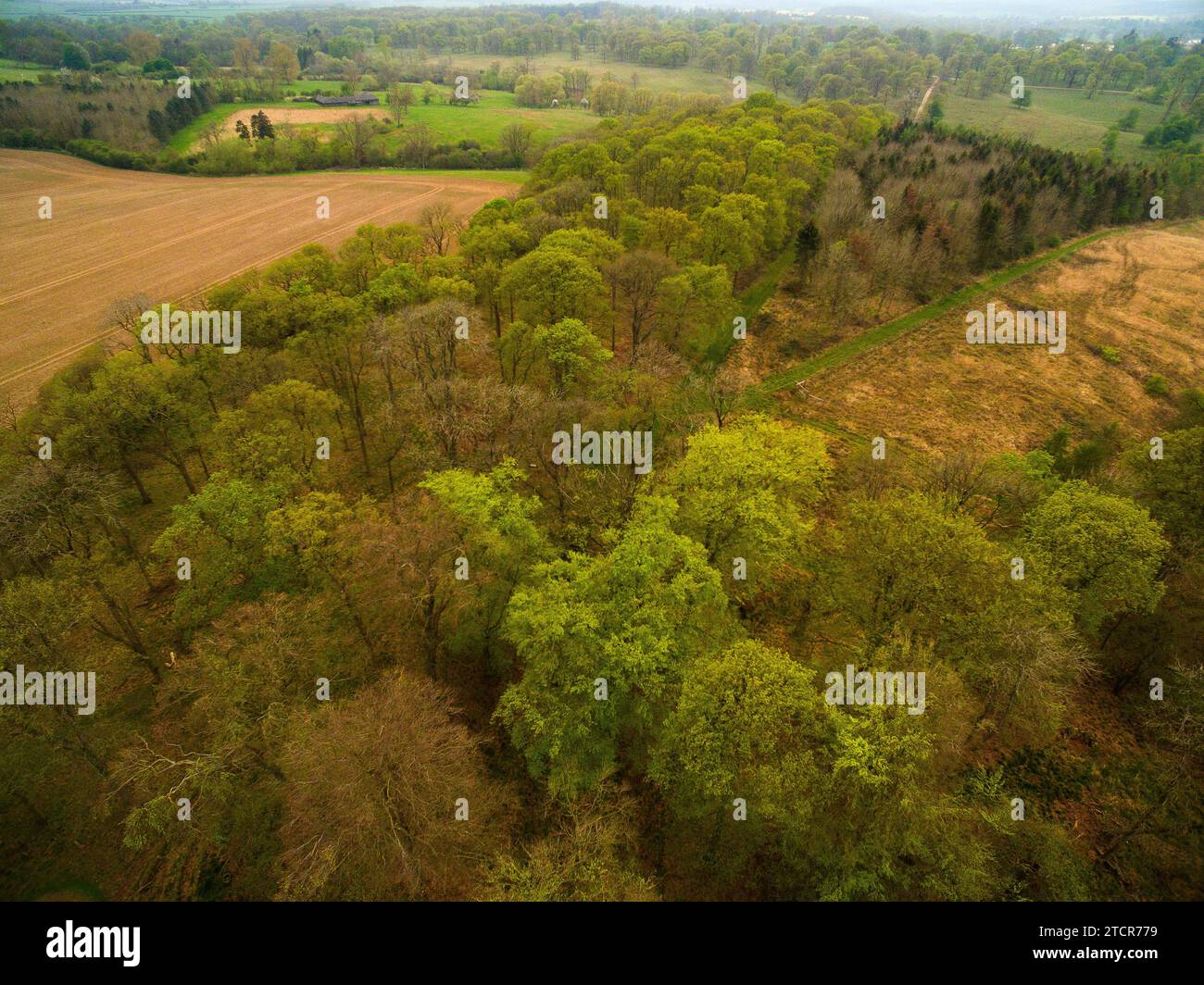 Luftaufnahme der Baumkronen im ländlichen North Bedfordshire, England, Großbritannien - Foto: Geopix Stockfotohttps://www.alamy.de/image-license-details/?v=1https://www.alamy.de/luftaufnahme-der-baumkronen-im-landlichen-north-bedfordshire-england-grossbritannien-foto-geopix-image575828605.html
RM2TCR779–Luftaufnahme der Baumkronen im ländlichen North Bedfordshire, England, Großbritannien - Foto: Geopix
 Trading Estate Letchworth Garden City, Hertfordshire England Großbritannien Drohnenflugplatz Stockfotohttps://www.alamy.de/image-license-details/?v=1https://www.alamy.de/trading-estate-letchworth-garden-city-hertfordshire-england-grossbritannien-drohnenflugplatz-image450442864.html
RF2H4RCD4–Trading Estate Letchworth Garden City, Hertfordshire England Großbritannien Drohnenflugplatz
 Mow Cop Aerial Drone Stoke auf Trent Tourist Site Stockfotohttps://www.alamy.de/image-license-details/?v=1https://www.alamy.de/mow-cop-aerial-drone-stoke-auf-trent-tourist-site-image473218521.html
RM2JDTY1D–Mow Cop Aerial Drone Stoke auf Trent Tourist Site
 Luftdrohnenfoto des Stadtzentrums von Barnsley in England. Stockfotohttps://www.alamy.de/image-license-details/?v=1https://www.alamy.de/luftdrohnenfoto-des-stadtzentrums-von-barnsley-in-england-image558212748.html
RF2RC4P1G–Luftdrohnenfoto des Stadtzentrums von Barnsley in England.
 Eine Drohnenaufnahme der Mountnessing Windmühle in Essex, England Stockfotohttps://www.alamy.de/image-license-details/?v=1https://www.alamy.de/eine-drohnenaufnahme-der-mountnessing-windmuhle-in-essex-england-image476741713.html
RF2JKHCWN–Eine Drohnenaufnahme der Mountnessing Windmühle in Essex, England
 Bullen auf Devon Fields und Meadows von einer Drohne, English Village, England, Europa Stockfotohttps://www.alamy.de/image-license-details/?v=1https://www.alamy.de/bullen-auf-devon-fields-und-meadows-von-einer-drohne-english-village-england-europa-image468988102.html
RF2J70732–Bullen auf Devon Fields und Meadows von einer Drohne, English Village, England, Europa
 Denton Community College in Denton, Manchester. Stockfotohttps://www.alamy.de/image-license-details/?v=1https://www.alamy.de/denton-community-college-in-denton-manchester-image617543756.html
RM2XTKFA4–Denton Community College in Denton, Manchester.
 Eine Drohnenaufnahme vom Hafen von Middlesbrough, Teeside, Nordostengland, Großbritannien, Stockfotohttps://www.alamy.de/image-license-details/?v=1https://www.alamy.de/eine-drohnenaufnahme-vom-hafen-von-middlesbrough-teeside-nordostengland-grossbritannien-image616739877.html
RM2XRAX05–Eine Drohnenaufnahme vom Hafen von Middlesbrough, Teeside, Nordostengland, Großbritannien,
 Großbritannien, England, Dorset, Portland Bill, Portland Bill Lighthouse, Sunrise (Drone) Stockfotohttps://www.alamy.de/image-license-details/?v=1https://www.alamy.de/grossbritannien-england-dorset-portland-bill-portland-bill-lighthouse-sunrise-drone-image351339973.html
RM2BBGWM5–Großbritannien, England, Dorset, Portland Bill, Portland Bill Lighthouse, Sunrise (Drone)
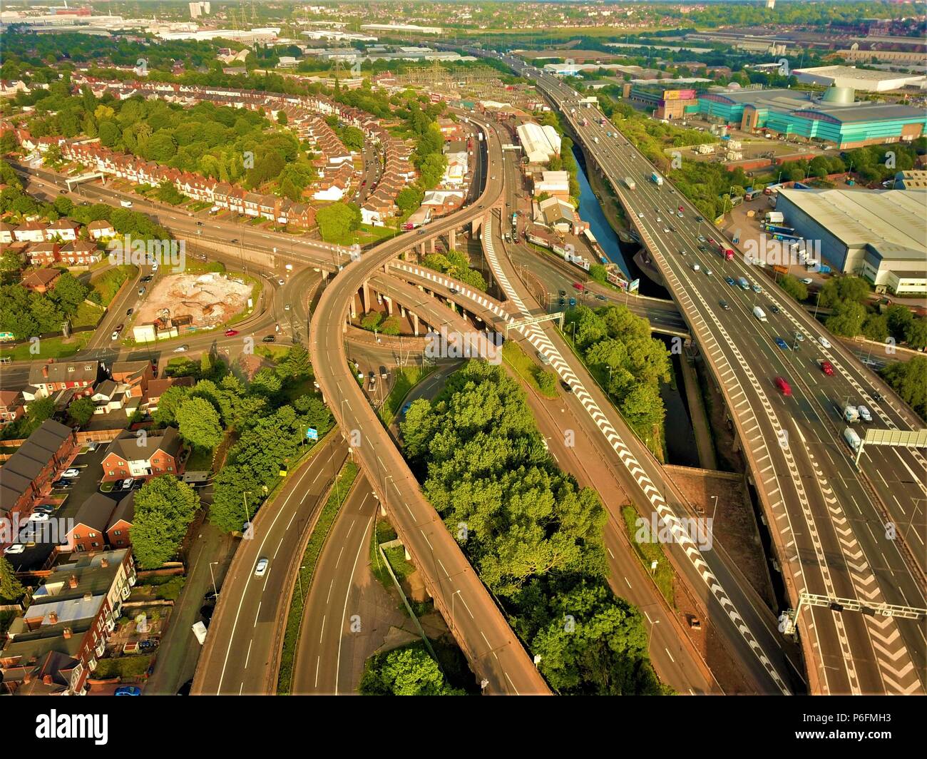 Autobahn Luftbild in Birmingham, England, Spaghetti Junction drone Foto Stockfotohttps://www.alamy.de/image-license-details/?v=1https://www.alamy.de/autobahn-luftbild-in-birmingham-england-spaghetti-junction-drone-foto-image210557791.html
RFP6FMH3–Autobahn Luftbild in Birmingham, England, Spaghetti Junction drone Foto
 Drone Schuß von Blaise Castle, Bristol, England Stockfotohttps://www.alamy.de/image-license-details/?v=1https://www.alamy.de/drone-schuss-von-blaise-castle-bristol-england-image225736414.html
RFR3752P–Drone Schuß von Blaise Castle, Bristol, England
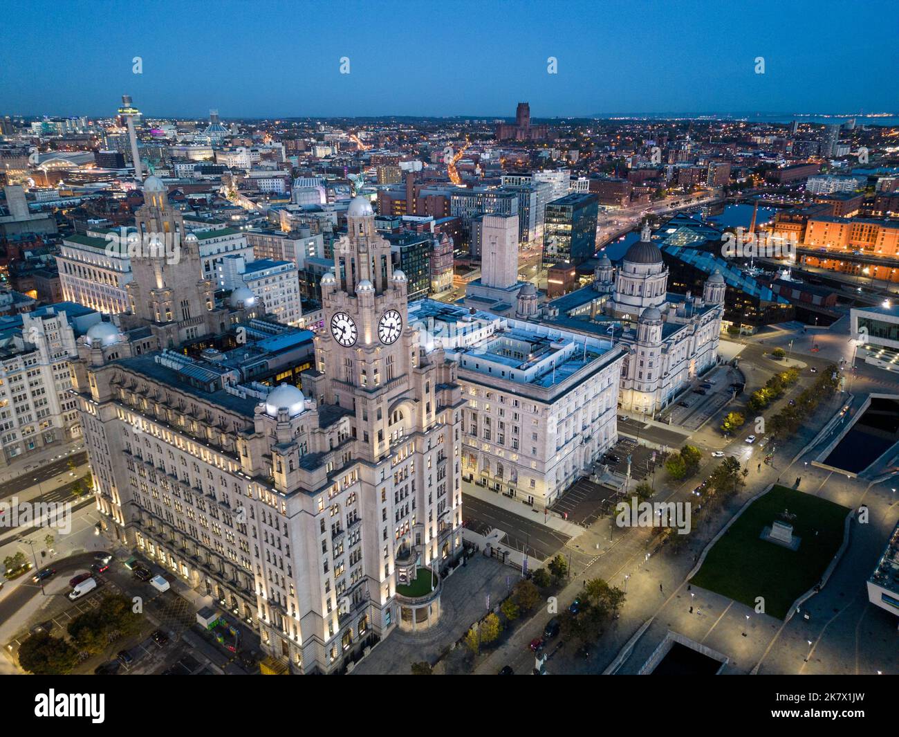 Luftaufnahme in der Dämmerung des Royal Liver Building und Pier Head Waterfront Liverpool, Merseyside, England Stockfotohttps://www.alamy.de/image-license-details/?v=1https://www.alamy.de/luftaufnahme-in-der-dammerung-des-royal-liver-building-und-pier-head-waterfront-liverpool-merseyside-england-image486764961.html
RF2K7X1JW–Luftaufnahme in der Dämmerung des Royal Liver Building und Pier Head Waterfront Liverpool, Merseyside, England
 Luftaufnahme des Bades, historische römische Stadt in Somerset, England, UK Stockfotohttps://www.alamy.de/image-license-details/?v=1https://www.alamy.de/stockfoto-luftaufnahme-des-bades-historische-romische-stadt-in-somerset-england-uk-36883075.html
RFC404MK–Luftaufnahme des Bades, historische römische Stadt in Somerset, England, UK
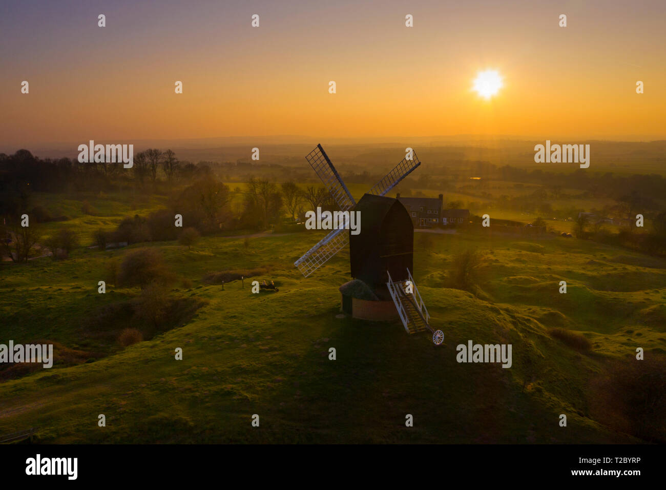 Brill Mühle bei Sonnenuntergang von oben mit einer Drohne, Oxfordshire, England, Großbritannien Stockfotohttps://www.alamy.de/image-license-details/?v=1https://www.alamy.de/brill-muhle-bei-sonnenuntergang-von-oben-mit-einer-drohne-oxfordshire-england-grossbritannien-image242437770.html
RFT2BYRP–Brill Mühle bei Sonnenuntergang von oben mit einer Drohne, Oxfordshire, England, Großbritannien
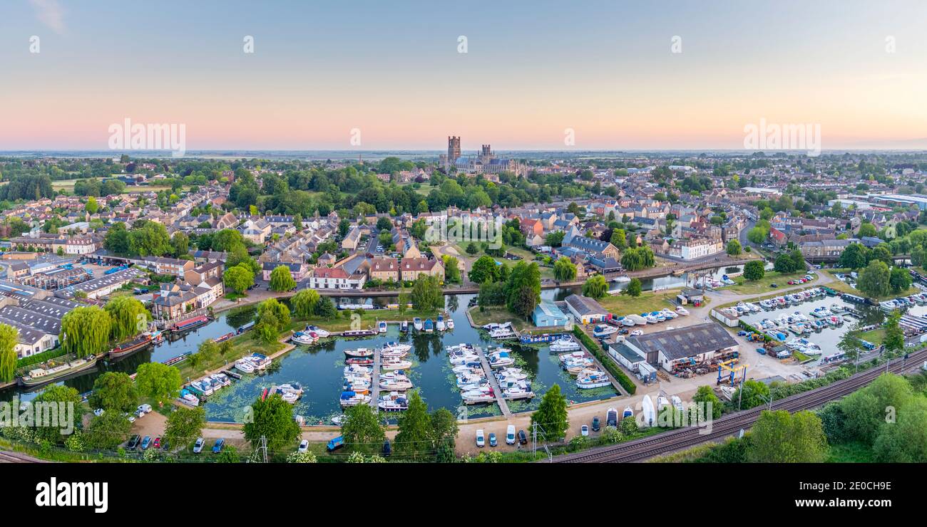 Drohnenansicht der Ely Kathedrale mit Ely Marina und Great Ouse River im Vordergrund, Ely, Cambridgeshire, England, Großbritannien, Europa Stockfotohttps://www.alamy.de/image-license-details/?v=1https://www.alamy.de/drohnenansicht-der-ely-kathedrale-mit-ely-marina-und-great-ouse-river-im-vordergrund-ely-cambridgeshire-england-grossbritannien-europa-image396115482.html
RF2E0CH9E–Drohnenansicht der Ely Kathedrale mit Ely Marina und Great Ouse River im Vordergrund, Ely, Cambridgeshire, England, Großbritannien, Europa
 Abberley, Worcestershire, Großbritannien. 25. März 2019. Antenne drone Bild des Worcestershire Dorf Abberley einschließlich St Mary's Church Stockfotohttps://www.alamy.de/image-license-details/?v=1https://www.alamy.de/abberley-worcestershire-grossbritannien-25-marz-2019-antenne-drone-bild-des-worcestershire-dorf-abberley-einschliesslich-st-marys-church-image245917563.html
RFT82EA3–Abberley, Worcestershire, Großbritannien. 25. März 2019. Antenne drone Bild des Worcestershire Dorf Abberley einschließlich St Mary's Church
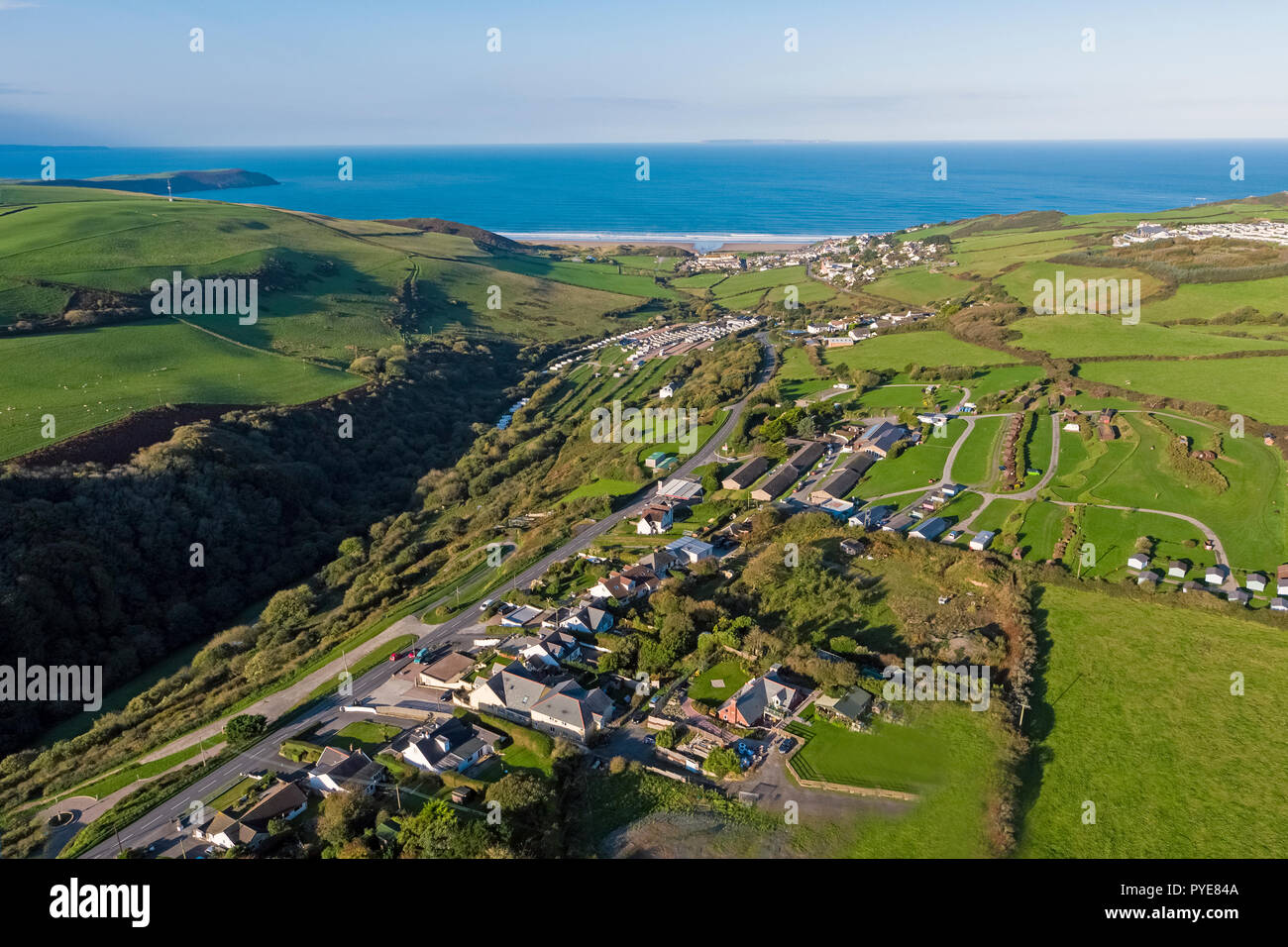 Luftaufnahme über Woolacombe, North Devon, England Stockfotohttps://www.alamy.de/image-license-details/?v=1https://www.alamy.de/luftaufnahme-uber-woolacombe-north-devon-england-image223433850.html
RMPYE84A–Luftaufnahme über Woolacombe, North Devon, England
 Didcot Power Station Stockfotohttps://www.alamy.de/image-license-details/?v=1https://www.alamy.de/didcot-power-station-image457544369.html
RF2HGAXE9–Didcot Power Station
 Cape cornwall Flugdrohne england großbritannien Stockfotohttps://www.alamy.de/image-license-details/?v=1https://www.alamy.de/cape-cornwall-flugdrohne-england-grossbritannien-image434533164.html
RF2G6XKDG–Cape cornwall Flugdrohne england großbritannien
 Bamburgh Castle in Northumberland an der Nordostküste Englands. Stockfotohttps://www.alamy.de/image-license-details/?v=1https://www.alamy.de/bamburgh-castle-in-northumberland-an-der-nordostkuste-englands-image515418157.html
RF2MXF939–Bamburgh Castle in Northumberland an der Nordostküste Englands.
 Cambridge City Centre England Drohne aus Hochwinkel Stockfotohttps://www.alamy.de/image-license-details/?v=1https://www.alamy.de/cambridge-city-centre-england-drohne-aus-hochwinkel-image499277931.html
RF2M0822K–Cambridge City Centre England Drohne aus Hochwinkel
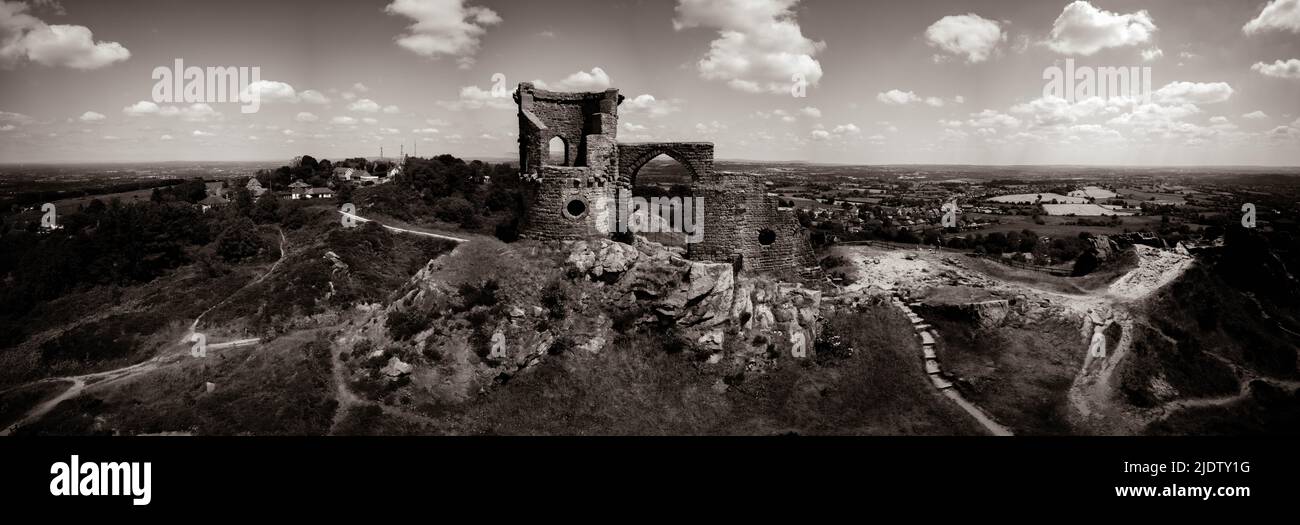 Mow Cop Aerial Drone Stoke auf Trent Tourist Site Stockfotohttps://www.alamy.de/image-license-details/?v=1https://www.alamy.de/mow-cop-aerial-drone-stoke-auf-trent-tourist-site-image473218524.html
RM2JDTY1G–Mow Cop Aerial Drone Stoke auf Trent Tourist Site
 Luftdrohnenfoto von Dunnottar Castle, einer Ruine an der Küste von Northumberland, England. Stockfotohttps://www.alamy.de/image-license-details/?v=1https://www.alamy.de/luftdrohnenfoto-von-dunnottar-castle-einer-ruine-an-der-kuste-von-northumberland-england-image558213891.html
RF2RC4REB–Luftdrohnenfoto von Dunnottar Castle, einer Ruine an der Küste von Northumberland, England.
 Eine Luftaufnahme des schönen Flusses Ouse inmitten grüner Parks in England Stockfotohttps://www.alamy.de/image-license-details/?v=1https://www.alamy.de/eine-luftaufnahme-des-schonen-flusses-ouse-inmitten-gruner-parks-in-england-image476742188.html
RF2JKHDEM–Eine Luftaufnahme des schönen Flusses Ouse inmitten grüner Parks in England
 Bullen auf Devon Fields und Meadows von einer Drohne, English Village, England, Europa Stockfotohttps://www.alamy.de/image-license-details/?v=1https://www.alamy.de/bullen-auf-devon-fields-und-meadows-von-einer-drohne-english-village-england-europa-image468988113.html
RF2J7073D–Bullen auf Devon Fields und Meadows von einer Drohne, English Village, England, Europa
 Denton Community College in Denton, Manchester. Stockfotohttps://www.alamy.de/image-license-details/?v=1https://www.alamy.de/denton-community-college-in-denton-manchester-image617543759.html
RM2XTKFA7–Denton Community College in Denton, Manchester.
 Eine Drohnenaufnahme vom Hafen von Middlesbrough, Teeside, Nordostengland, Großbritannien, Stockfotohttps://www.alamy.de/image-license-details/?v=1https://www.alamy.de/eine-drohnenaufnahme-vom-hafen-von-middlesbrough-teeside-nordostengland-grossbritannien-image616739882.html
RM2XRAX0A–Eine Drohnenaufnahme vom Hafen von Middlesbrough, Teeside, Nordostengland, Großbritannien,
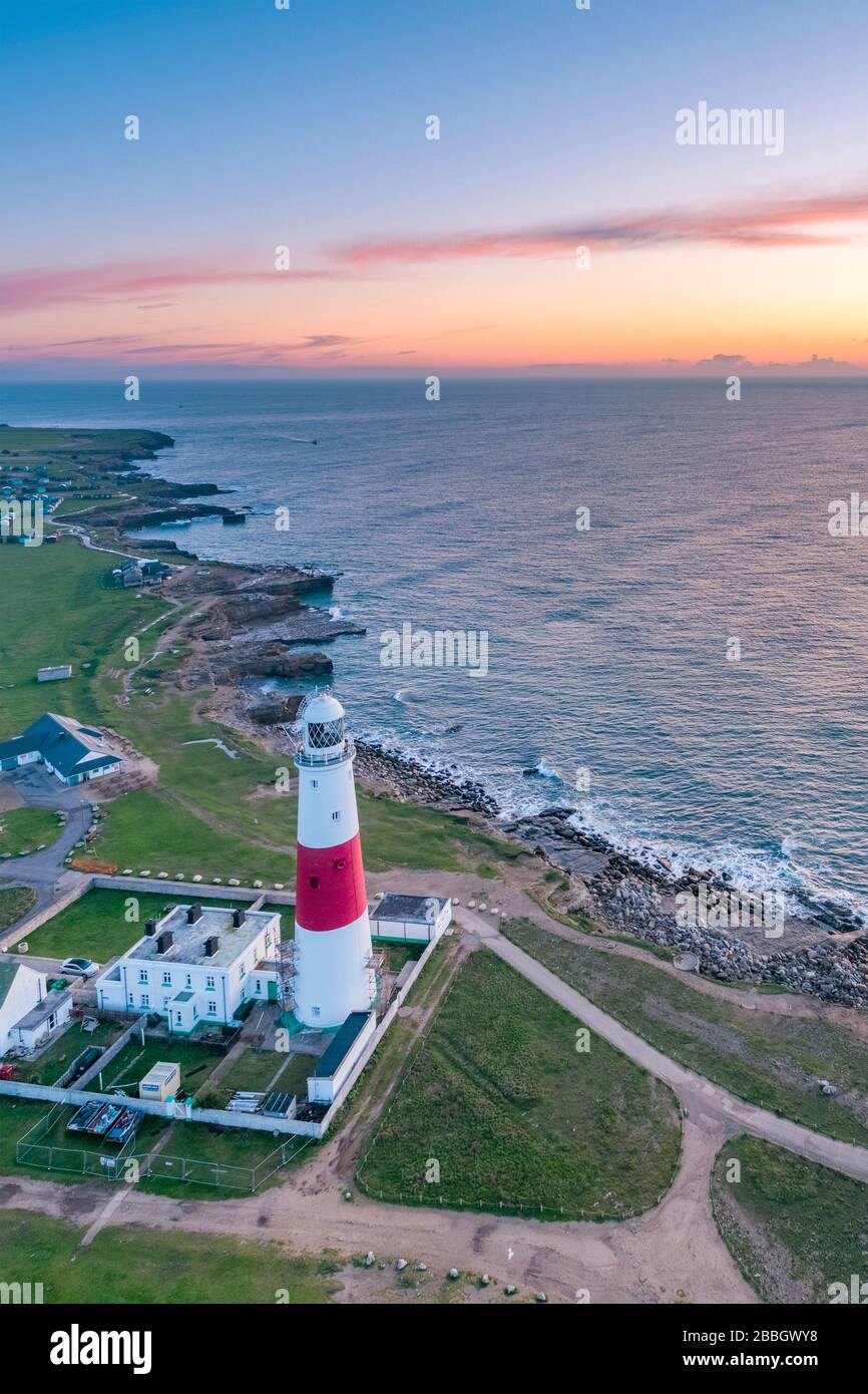 Großbritannien, England, Dorset, Portland Bill, Portland Bill Lighthouse, Sunrise (Drone) Stockfotohttps://www.alamy.de/image-license-details/?v=1https://www.alamy.de/grossbritannien-england-dorset-portland-bill-portland-bill-lighthouse-sunrise-drone-image351340172.html
RM2BBGWY8–Großbritannien, England, Dorset, Portland Bill, Portland Bill Lighthouse, Sunrise (Drone)
 Luftaufnahmen der Stadt Birmingham, England Stockfotohttps://www.alamy.de/image-license-details/?v=1https://www.alamy.de/luftaufnahmen-der-stadt-birmingham-england-image210557795.html
RFP6FMH7–Luftaufnahmen der Stadt Birmingham, England
 Großbritannien, England, Dorset, Corfe Castle (Drone) Stockfotohttps://www.alamy.de/image-license-details/?v=1https://www.alamy.de/grossbritannien-england-dorset-corfe-castle-drone-image351340184.html
RM2BBGWYM–Großbritannien, England, Dorset, Corfe Castle (Drone)
 Weitwinkelansicht aller England Lawn Tennis Club (oder AELTC) in Wimbledon, London, SW19, Großbritannien. Stockfotohttps://www.alamy.de/image-license-details/?v=1https://www.alamy.de/weitwinkelansicht-aller-england-lawn-tennis-club-oder-aeltc-in-wimbledon-london-sw19-grossbritannien-image609251542.html
RM2XB5PFJ–Weitwinkelansicht aller England Lawn Tennis Club (oder AELTC) in Wimbledon, London, SW19, Großbritannien.
 Luftaufnahme des Bades, historische römische Stadt in Somerset, England, UK Stockfotohttps://www.alamy.de/image-license-details/?v=1https://www.alamy.de/stockfoto-luftaufnahme-des-bades-historische-romische-stadt-in-somerset-england-uk-36883084.html
RFC404N0–Luftaufnahme des Bades, historische römische Stadt in Somerset, England, UK
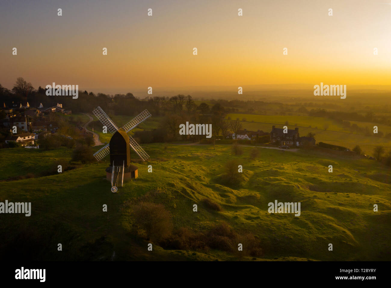 Brill Mühle bei Sonnenuntergang von oben mit einer Drohne, Oxfordshire, England, Großbritannien Stockfotohttps://www.alamy.de/image-license-details/?v=1https://www.alamy.de/brill-muhle-bei-sonnenuntergang-von-oben-mit-einer-drohne-oxfordshire-england-grossbritannien-image242437775.html
RFT2BYRY–Brill Mühle bei Sonnenuntergang von oben mit einer Drohne, Oxfordshire, England, Großbritannien
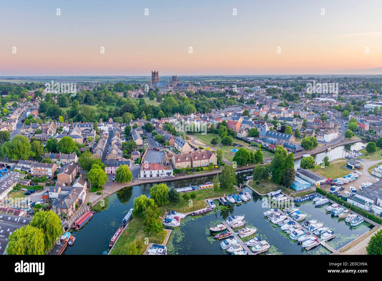 Drohnenansicht der Ely Kathedrale mit Ely Marina und Great Ouse River im Vordergrund, Ely, Cambridgeshire, England, Großbritannien, Europa Stockfotohttps://www.alamy.de/image-license-details/?v=1https://www.alamy.de/drohnenansicht-der-ely-kathedrale-mit-ely-marina-und-great-ouse-river-im-vordergrund-ely-cambridgeshire-england-grossbritannien-europa-image396115478.html
RF2E0CH9A–Drohnenansicht der Ely Kathedrale mit Ely Marina und Great Ouse River im Vordergrund, Ely, Cambridgeshire, England, Großbritannien, Europa
 Abberley, Worcestershire, Großbritannien. 25. März 2019. Antenne drone Bild des Worcestershire Dorf Abberley einschließlich St Mary's Church Stockfotohttps://www.alamy.de/image-license-details/?v=1https://www.alamy.de/abberley-worcestershire-grossbritannien-25-marz-2019-antenne-drone-bild-des-worcestershire-dorf-abberley-einschliesslich-st-marys-church-image245917555.html
RFT82E9R–Abberley, Worcestershire, Großbritannien. 25. März 2019. Antenne drone Bild des Worcestershire Dorf Abberley einschließlich St Mary's Church
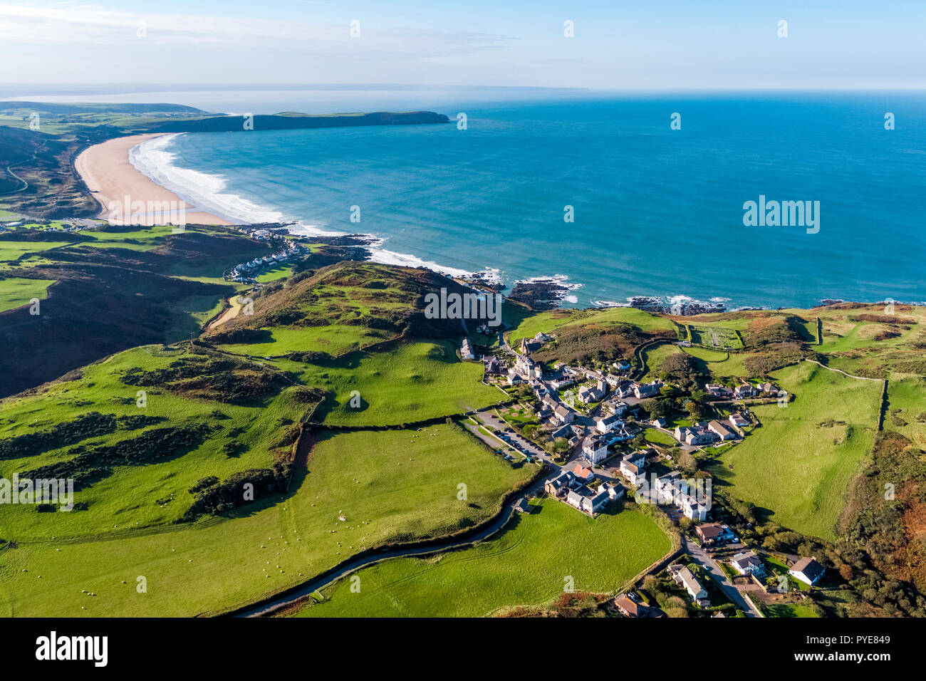 Luftaufnahme über Mortehoe und Woolacombe Bay, North Devon, England Stockfotohttps://www.alamy.de/image-license-details/?v=1https://www.alamy.de/luftaufnahme-uber-mortehoe-und-woolacombe-bay-north-devon-england-image223433849.html
RMPYE849–Luftaufnahme über Mortehoe und Woolacombe Bay, North Devon, England
 Didcot Power Station Stockfotohttps://www.alamy.de/image-license-details/?v=1https://www.alamy.de/didcot-power-station-image457544366.html
RF2HGAXE6–Didcot Power Station
 Cape cornwall Flugdrohne england großbritannien Stockfotohttps://www.alamy.de/image-license-details/?v=1https://www.alamy.de/cape-cornwall-flugdrohne-england-grossbritannien-image434532962.html
RF2G6XK6A–Cape cornwall Flugdrohne england großbritannien
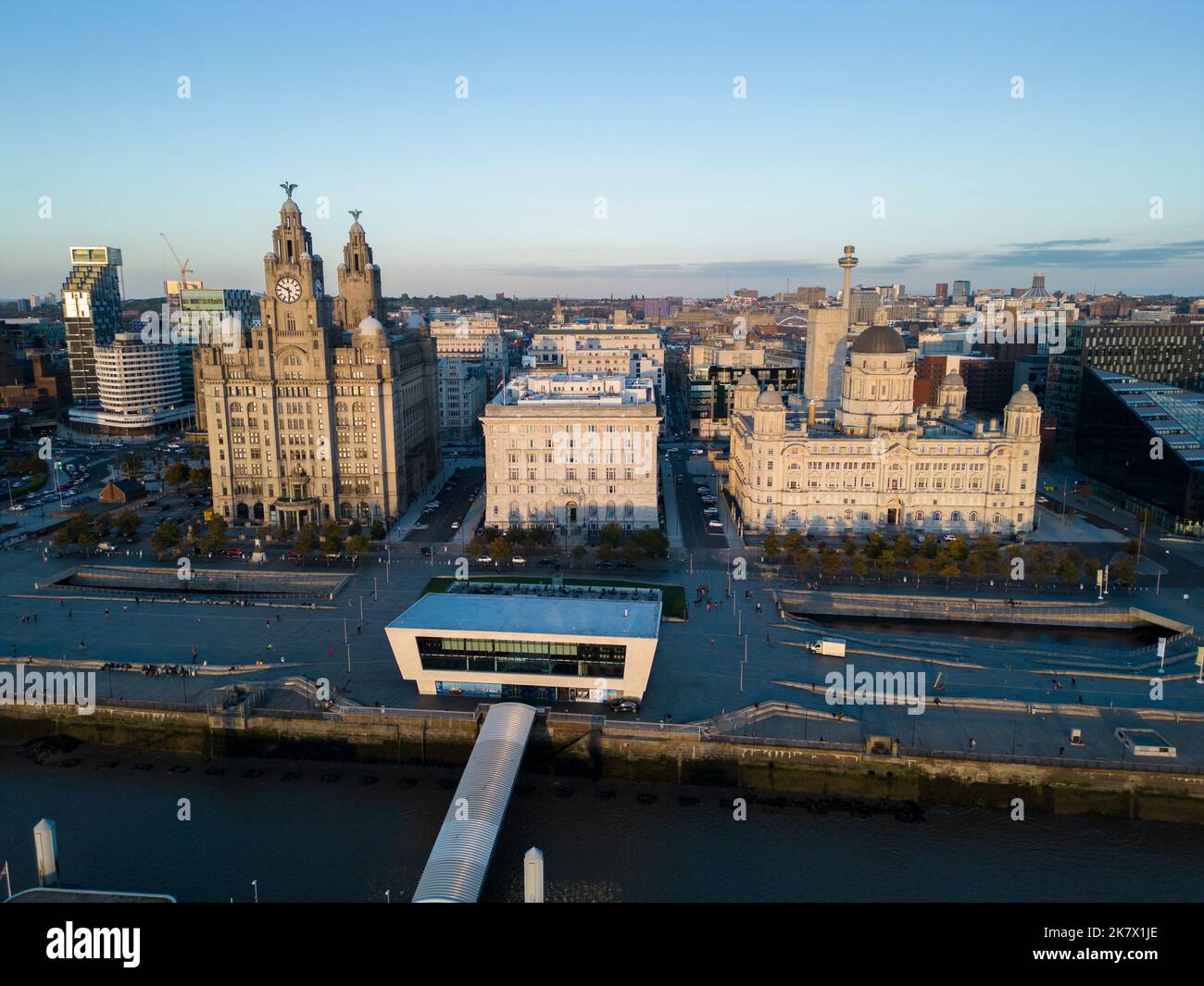 Drohne aus der Sicht, Skyline von Liverpool mit den Gebäuden am Pier Head, Merseyside, England Stockfotohttps://www.alamy.de/image-license-details/?v=1https://www.alamy.de/drohne-aus-der-sicht-skyline-von-liverpool-mit-den-gebauden-am-pier-head-merseyside-england-image486764950.html
RF2K7X1JE–Drohne aus der Sicht, Skyline von Liverpool mit den Gebäuden am Pier Head, Merseyside, England
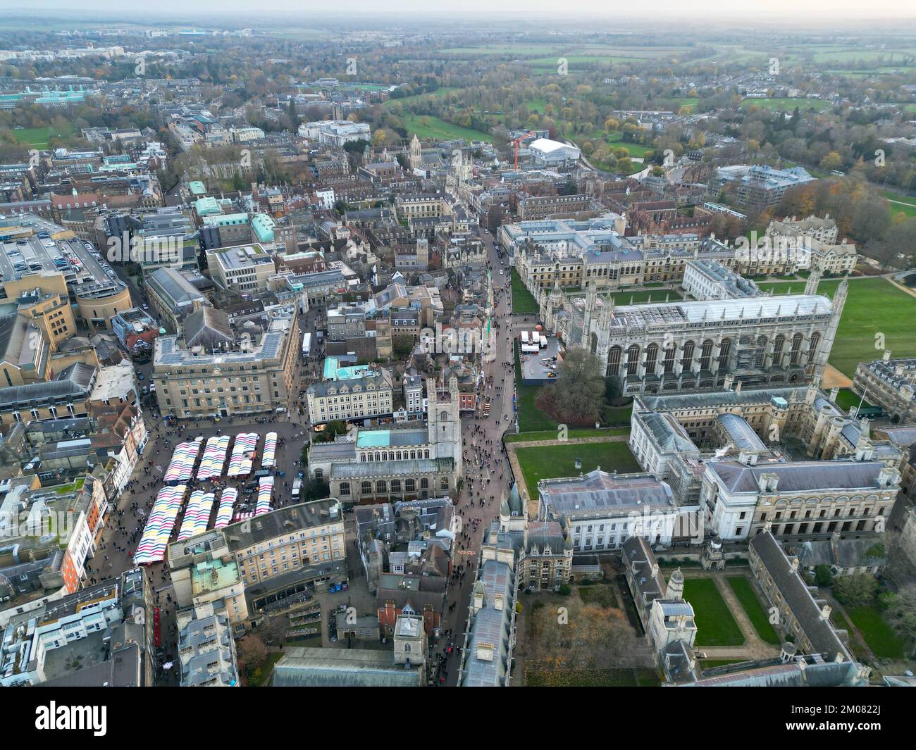 Cambridge City Centre England Drohne aus Hochwinkel Stockfotohttps://www.alamy.de/image-license-details/?v=1https://www.alamy.de/cambridge-city-centre-england-drohne-aus-hochwinkel-image499277930.html
RF2M0822J–Cambridge City Centre England Drohne aus Hochwinkel
 Mow Cop Aerial Drone Stoke auf Trent Tourist Site Stockfotohttps://www.alamy.de/image-license-details/?v=1https://www.alamy.de/mow-cop-aerial-drone-stoke-auf-trent-tourist-site-image473218531.html
RM2JDTY1R–Mow Cop Aerial Drone Stoke auf Trent Tourist Site
 Luftdrohnenfoto von Dunnottar Castle, einer Ruine an der Küste von Northumberland, England. Stockfotohttps://www.alamy.de/image-license-details/?v=1https://www.alamy.de/luftdrohnenfoto-von-dunnottar-castle-einer-ruine-an-der-kuste-von-northumberland-england-image558213904.html
RF2RC4RET–Luftdrohnenfoto von Dunnottar Castle, einer Ruine an der Küste von Northumberland, England.
 Eine Drohnenaufnahme der Mountnessing Windmühle in Essex, England Stockfotohttps://www.alamy.de/image-license-details/?v=1https://www.alamy.de/eine-drohnenaufnahme-der-mountnessing-windmuhle-in-essex-england-image476741959.html
RF2JKHD6F–Eine Drohnenaufnahme der Mountnessing Windmühle in Essex, England
 Luftaufnahme von Armstuhl Cove und Broadsands Beach von einer Drohne, Paignton, Devon, England, Europa Stockfotohttps://www.alamy.de/image-license-details/?v=1https://www.alamy.de/luftaufnahme-von-armstuhl-cove-und-broadsands-beach-von-einer-drohne-paignton-devon-england-europa-image543846643.html
RF2PGP9XB–Luftaufnahme von Armstuhl Cove und Broadsands Beach von einer Drohne, Paignton, Devon, England, Europa
 Denton Community College in Denton, Manchester. Stockfotohttps://www.alamy.de/image-license-details/?v=1https://www.alamy.de/denton-community-college-in-denton-manchester-image617543755.html
RM2XTKFA3–Denton Community College in Denton, Manchester.
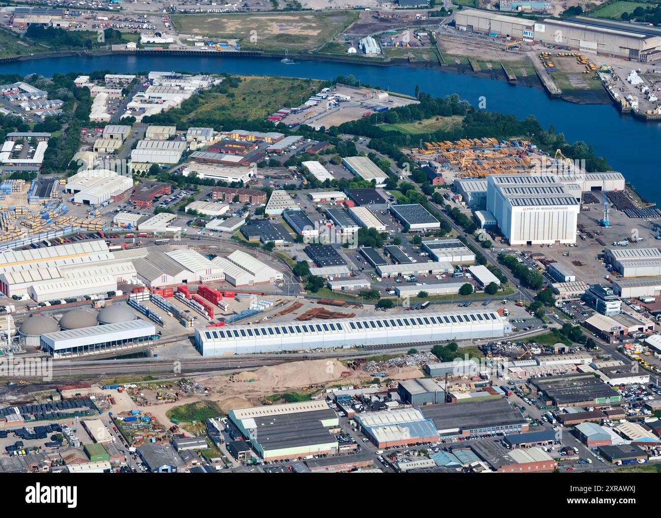 Eine Drohnenaufnahme vom Hafen von Middlesbrough, Teeside, Nordostengland, Großbritannien, Stockfotohttps://www.alamy.de/image-license-details/?v=1https://www.alamy.de/eine-drohnenaufnahme-vom-hafen-von-middlesbrough-teeside-nordostengland-grossbritannien-image616739834.html
RM2XRAWXJ–Eine Drohnenaufnahme vom Hafen von Middlesbrough, Teeside, Nordostengland, Großbritannien,
 London City Skyline, Morgensonnenaufgangpanorama, Großbritannien Stockfotohttps://www.alamy.de/image-license-details/?v=1https://www.alamy.de/london-city-skyline-morgensonnenaufgangpanorama-grossbritannien-image385300410.html
RF2DARXGX–London City Skyline, Morgensonnenaufgangpanorama, Großbritannien
 Luftaufnahmen der Stadt Birmingham, England Stockfotohttps://www.alamy.de/image-license-details/?v=1https://www.alamy.de/luftaufnahmen-der-stadt-birmingham-england-image210557805.html
RFP6FMHH–Luftaufnahmen der Stadt Birmingham, England
 Großbritannien, England, Dorset, Portland Bill, Portland Bill Lighthouse, Sonnenuntergang (Drone) Stockfotohttps://www.alamy.de/image-license-details/?v=1https://www.alamy.de/grossbritannien-england-dorset-portland-bill-portland-bill-lighthouse-sonnenuntergang-drone-image351340060.html
RM2BBGWR8–Großbritannien, England, Dorset, Portland Bill, Portland Bill Lighthouse, Sonnenuntergang (Drone)
 Weitwinkelansicht des Centre Court (R) und des No.1 Court (L) im All England Lawn Tennis Club oder AELTC in Wimbledon, London, SW19, UK. Stockfotohttps://www.alamy.de/image-license-details/?v=1https://www.alamy.de/weitwinkelansicht-des-centre-court-r-und-des-no1-court-l-im-all-england-lawn-tennis-club-oder-aeltc-in-wimbledon-london-sw19-uk-image609251552.html
RM2XB5PG0–Weitwinkelansicht des Centre Court (R) und des No.1 Court (L) im All England Lawn Tennis Club oder AELTC in Wimbledon, London, SW19, UK.
 London City Skyline, Morgensonnenaufgangpanorama, Großbritannien Stockfotohttps://www.alamy.de/image-license-details/?v=1https://www.alamy.de/london-city-skyline-morgensonnenaufgangpanorama-grossbritannien-image385300516.html
RF2DARXMM–London City Skyline, Morgensonnenaufgangpanorama, Großbritannien
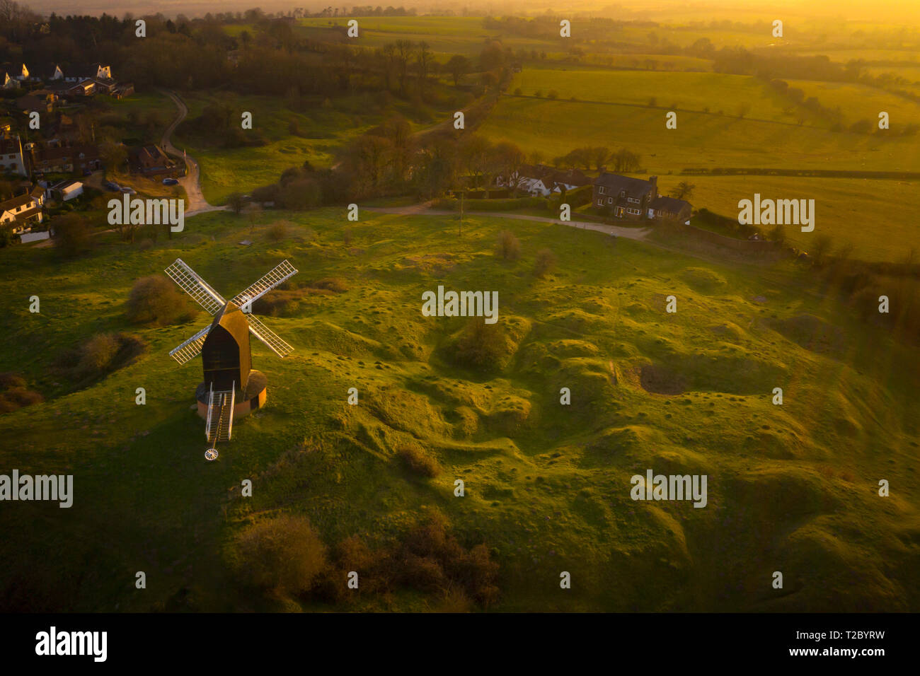 Brill Mühle bei Sonnenuntergang von oben mit einer Drohne, Oxfordshire, England, Großbritannien Stockfotohttps://www.alamy.de/image-license-details/?v=1https://www.alamy.de/brill-muhle-bei-sonnenuntergang-von-oben-mit-einer-drohne-oxfordshire-england-grossbritannien-image242437773.html
RFT2BYRW–Brill Mühle bei Sonnenuntergang von oben mit einer Drohne, Oxfordshire, England, Großbritannien
 Antenne drone Ansicht der aufgegebenen Schiffe am Ufer des Flusses Severn in Purton in England Stockfotohttps://www.alamy.de/image-license-details/?v=1https://www.alamy.de/antenne-drone-ansicht-der-aufgegebenen-schiffe-am-ufer-des-flusses-severn-in-purton-in-england-image266143921.html
RFWCYW81–Antenne drone Ansicht der aufgegebenen Schiffe am Ufer des Flusses Severn in Purton in England
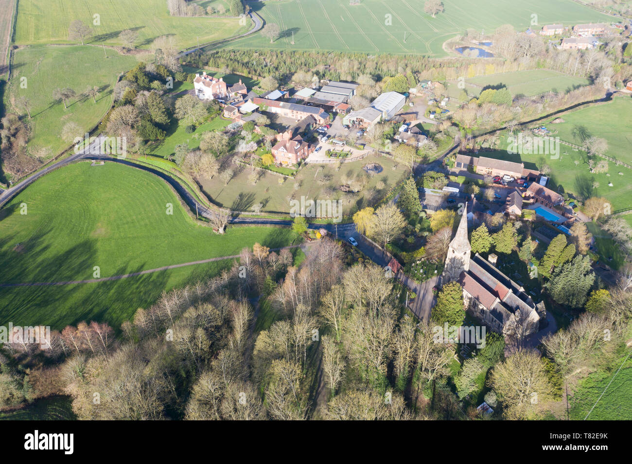 Abberley, Worcestershire, Großbritannien. 25. März 2019. Antenne drone Bild des Worcestershire Dorf Abberley einschließlich St Mary's Church Stockfotohttps://www.alamy.de/image-license-details/?v=1https://www.alamy.de/abberley-worcestershire-grossbritannien-25-marz-2019-antenne-drone-bild-des-worcestershire-dorf-abberley-einschliesslich-st-marys-church-image245917551.html
RFT82E9K–Abberley, Worcestershire, Großbritannien. 25. März 2019. Antenne drone Bild des Worcestershire Dorf Abberley einschließlich St Mary's Church
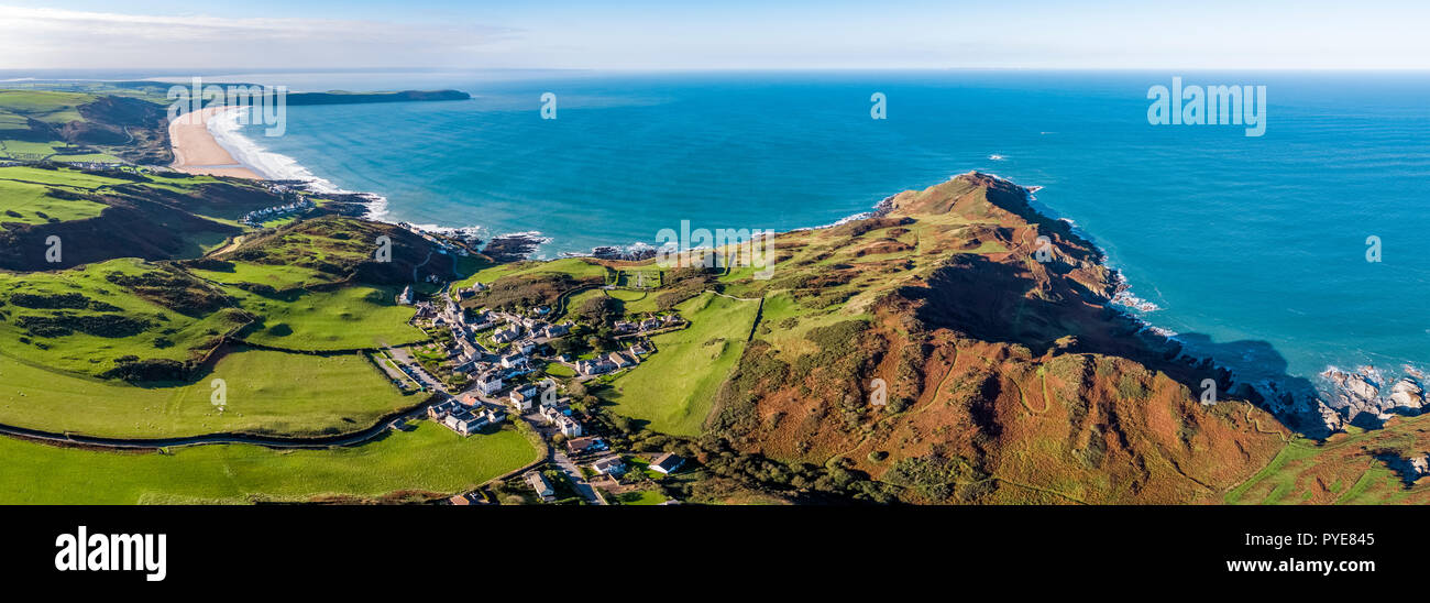 Luftaufnahme über Mortehoe und Woolacombe Bay, North Devon, England Stockfotohttps://www.alamy.de/image-license-details/?v=1https://www.alamy.de/luftaufnahme-uber-mortehoe-und-woolacombe-bay-north-devon-england-image223433845.html
RMPYE845–Luftaufnahme über Mortehoe und Woolacombe Bay, North Devon, England
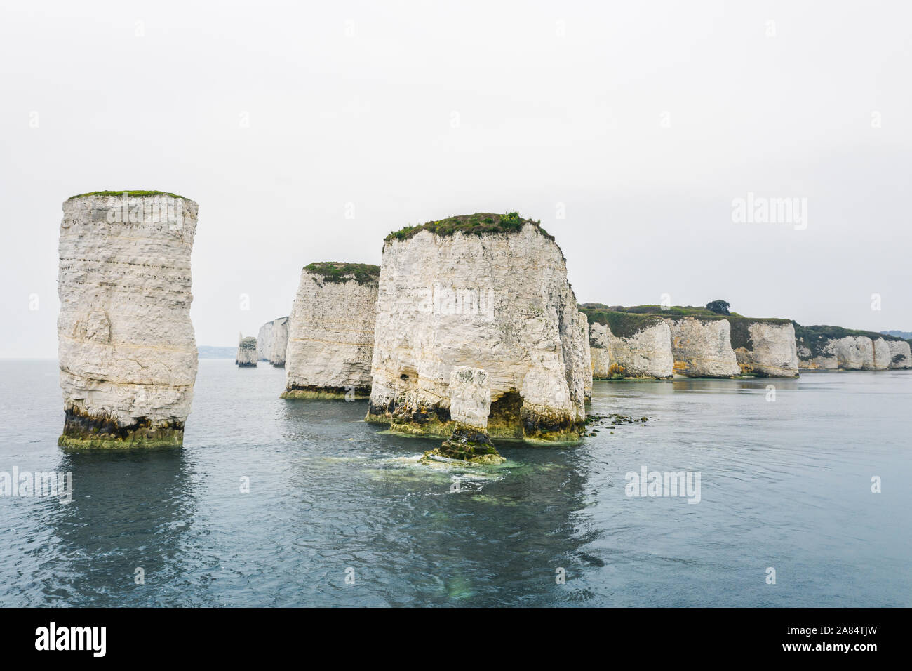 Blick auf Old Harry Rocks in Dorset, England, geschossen mit Drohne vom Meer aus. Stockfotohttps://www.alamy.de/image-license-details/?v=1https://www.alamy.de/blick-auf-old-harry-rocks-in-dorset-england-geschossen-mit-drohne-vom-meer-aus-image332021393.html
RF2A84TJW–Blick auf Old Harry Rocks in Dorset, England, geschossen mit Drohne vom Meer aus.
 Cape cornwall Flugdrohne england großbritannien Stockfotohttps://www.alamy.de/image-license-details/?v=1https://www.alamy.de/cape-cornwall-flugdrohne-england-grossbritannien-image434533058.html
RF2G6XK9P–Cape cornwall Flugdrohne england großbritannien
 Luftumlaufbahn der University of Oxford, Oxfordshire, England Stockfotohttps://www.alamy.de/image-license-details/?v=1https://www.alamy.de/luftumlaufbahn-der-university-of-oxford-oxfordshire-england-image559747883.html
RF2REJM3R–Luftumlaufbahn der University of Oxford, Oxfordshire, England
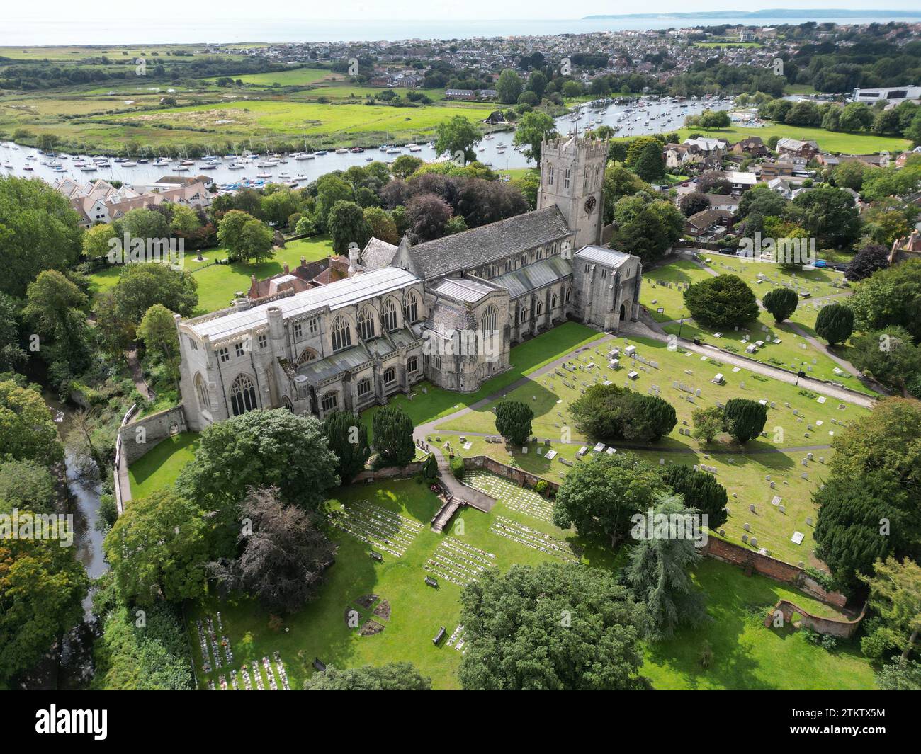 Christchurch Priory Dorset, UK-Drohne, hoher Winkel aus der Luft Stockfotohttps://www.alamy.de/image-license-details/?v=1https://www.alamy.de/christchurch-priory-dorset-uk-drohne-hoher-winkel-aus-der-luft-image580168000.html
RF2TKTX5M–Christchurch Priory Dorset, UK-Drohne, hoher Winkel aus der Luft
 Mow Cop Aerial Drone Stoke auf Trent Tourist Site Stockfotohttps://www.alamy.de/image-license-details/?v=1https://www.alamy.de/mow-cop-aerial-drone-stoke-auf-trent-tourist-site-image473139078.html
RM2JDN9M6–Mow Cop Aerial Drone Stoke auf Trent Tourist Site
 Luftdrohnenfoto der Tilbury Festung. Das Fort befindet sich neben der Themse in England Stockfotohttps://www.alamy.de/image-license-details/?v=1https://www.alamy.de/luftdrohnenfoto-der-tilbury-festung-das-fort-befindet-sich-neben-der-themse-in-england-image556565691.html
RF2R9DN63–Luftdrohnenfoto der Tilbury Festung. Das Fort befindet sich neben der Themse in England
 Luftaufnahme von oben nach unten über die Altstadt von Welligton in Vereinigtes Königreich Stockfotohttps://www.alamy.de/image-license-details/?v=1https://www.alamy.de/luftaufnahme-von-oben-nach-unten-uber-die-altstadt-von-welligton-in-vereinigtes-konigreich-image370254440.html
RF2CEAF8T–Luftaufnahme von oben nach unten über die Altstadt von Welligton in Vereinigtes Königreich
 Luftaufnahme von Armstuhl Cove und Broadsands Beach von einer Drohne, Paignton, Devon, England, Europa Stockfotohttps://www.alamy.de/image-license-details/?v=1https://www.alamy.de/luftaufnahme-von-armstuhl-cove-und-broadsands-beach-von-einer-drohne-paignton-devon-england-europa-image543846644.html
RF2PGP9XC–Luftaufnahme von Armstuhl Cove und Broadsands Beach von einer Drohne, Paignton, Devon, England, Europa
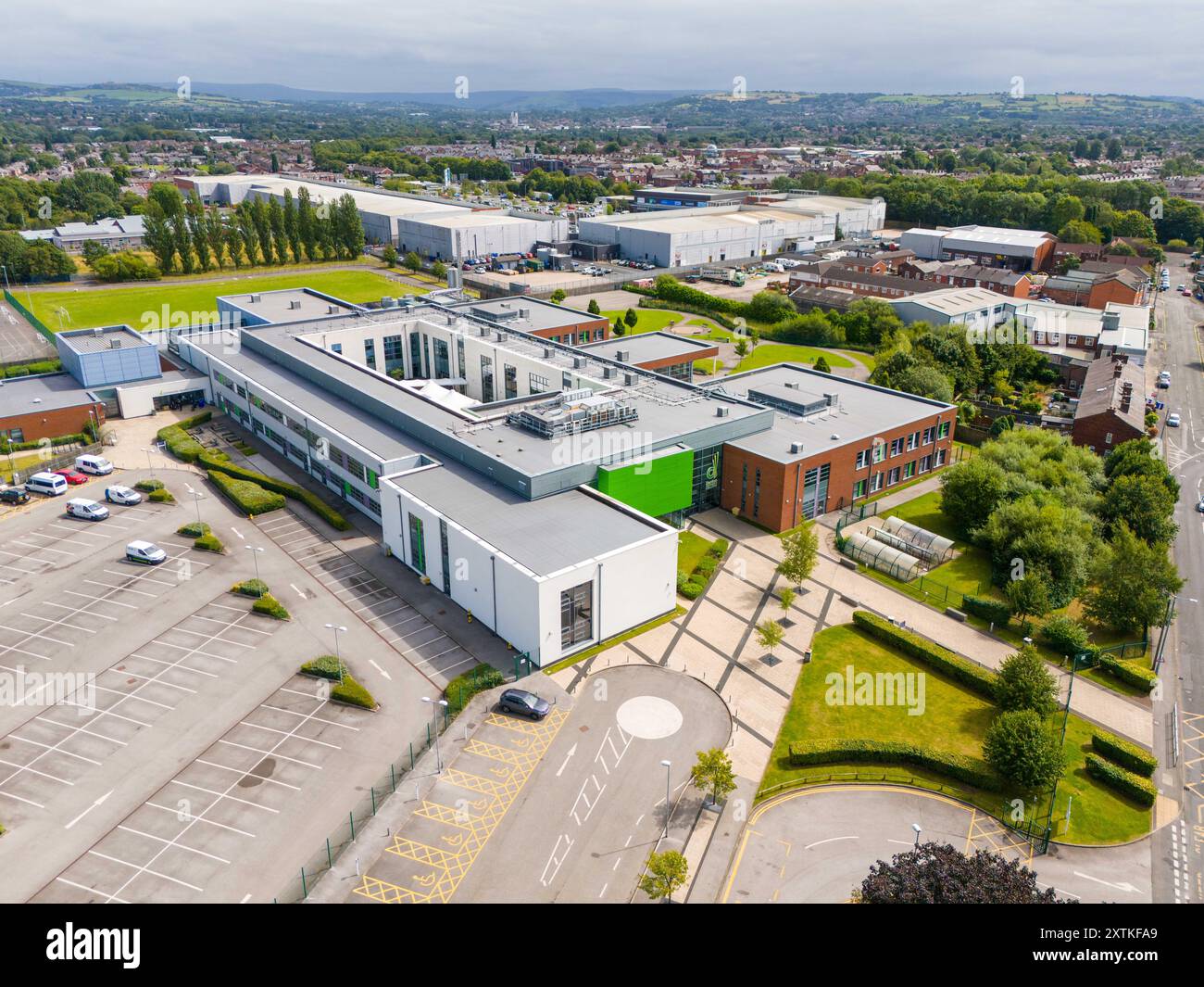 Denton Community College in Denton, Manchester. Stockfotohttps://www.alamy.de/image-license-details/?v=1https://www.alamy.de/denton-community-college-in-denton-manchester-image617543761.html
RM2XTKFA9–Denton Community College in Denton, Manchester.
 Eine Luftdrohne erschoss das Stadtzentrum von Middlesbrough und das Einzelhandelsviertel, Teeside, Nordostengland, Großbritannien, Stockfotohttps://www.alamy.de/image-license-details/?v=1https://www.alamy.de/eine-luftdrohne-erschoss-das-stadtzentrum-von-middlesbrough-und-das-einzelhandelsviertel-teeside-nordostengland-grossbritannien-image616739843.html
RF2XRAWXY–Eine Luftdrohne erschoss das Stadtzentrum von Middlesbrough und das Einzelhandelsviertel, Teeside, Nordostengland, Großbritannien,
 Antenne drone Flug über alte Mole in Lytham St Annes Strand, Lancashire, England, Großbritannien Stockfotohttps://www.alamy.de/image-license-details/?v=1https://www.alamy.de/antenne-drone-flug-uber-alte-mole-in-lytham-st-annes-strand-lancashire-england-grossbritannien-image186169576.html
RFMPTN5C–Antenne drone Flug über alte Mole in Lytham St Annes Strand, Lancashire, England, Großbritannien
 England Kanäle Luftaufnahmen Stockfotohttps://www.alamy.de/image-license-details/?v=1https://www.alamy.de/england-kanale-luftaufnahmen-image210557998.html
RFP6FMTE–England Kanäle Luftaufnahmen
 Großbritannien, England, Northumberland, Bamburgh, Bamburgh Castle Stockfotohttps://www.alamy.de/image-license-details/?v=1https://www.alamy.de/grossbritannien-england-northumberland-bamburgh-bamburgh-castle-image350574500.html
RM2BAA19T–Großbritannien, England, Northumberland, Bamburgh, Bamburgh Castle
 Weitwinkelansicht des Centre Court (R) und des No.1 Court (L) im All England Lawn Tennis Club oder AELTC in Wimbledon, London, SW19, UK. Stockfotohttps://www.alamy.de/image-license-details/?v=1https://www.alamy.de/weitwinkelansicht-des-centre-court-r-und-des-no1-court-l-im-all-england-lawn-tennis-club-oder-aeltc-in-wimbledon-london-sw19-uk-image609251551.html
RM2XB5PFY–Weitwinkelansicht des Centre Court (R) und des No.1 Court (L) im All England Lawn Tennis Club oder AELTC in Wimbledon, London, SW19, UK.
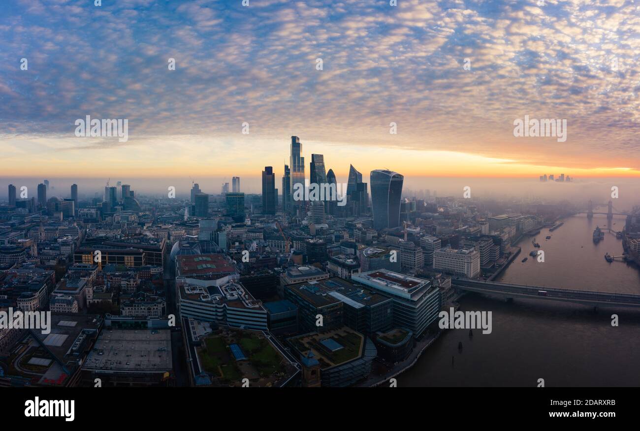 London City Skyline, Morgensonnenaufgangpanorama, Großbritannien Stockfotohttps://www.alamy.de/image-license-details/?v=1https://www.alamy.de/london-city-skyline-morgensonnenaufgangpanorama-grossbritannien-image385300591.html
RF2DARXRB–London City Skyline, Morgensonnenaufgangpanorama, Großbritannien
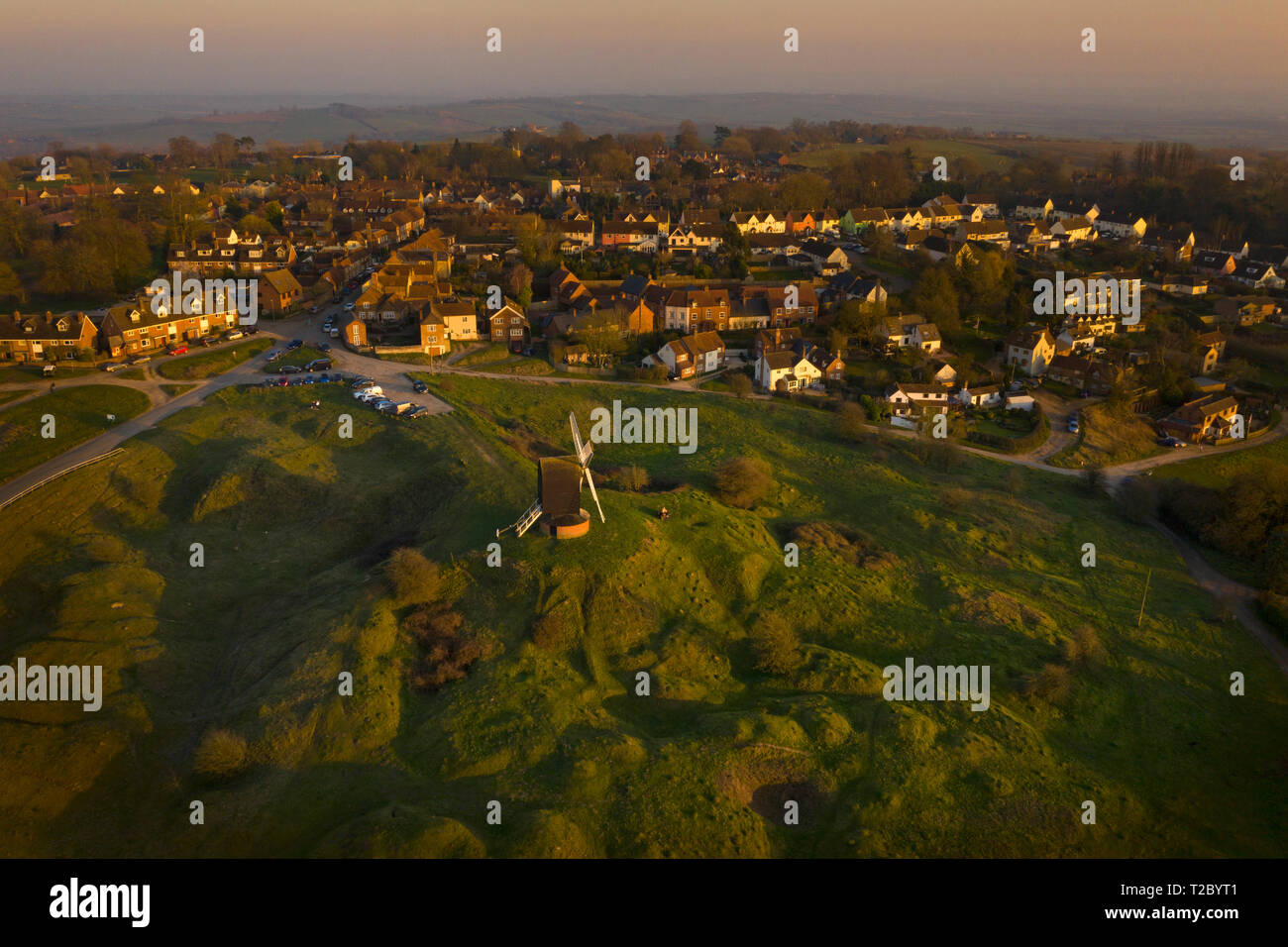 Brill Windmühle und Dorf bei Sonnenuntergang von oben mit einer Drohne, Oxfordshire, England, Großbritannien Stockfotohttps://www.alamy.de/image-license-details/?v=1https://www.alamy.de/brill-windmuhle-und-dorf-bei-sonnenuntergang-von-oben-mit-einer-drohne-oxfordshire-england-grossbritannien-image242437777.html
RFT2BYT1–Brill Windmühle und Dorf bei Sonnenuntergang von oben mit einer Drohne, Oxfordshire, England, Großbritannien
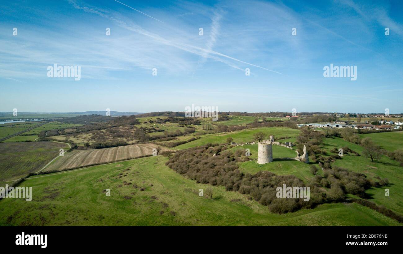 Hadleigh Castle, Essex, England. Luftdrone mit Blick auf die Landschaft von Essex und die Ruinen von Hadleigh Castle aus dem 13. Jahrhundert. Stockfotohttps://www.alamy.de/image-license-details/?v=1https://www.alamy.de/hadleigh-castle-essex-england-luftdrone-mit-blick-auf-die-landschaft-von-essex-und-die-ruinen-von-hadleigh-castle-aus-dem-13-jahrhundert-image344366327.html
RF2B076NB–Hadleigh Castle, Essex, England. Luftdrone mit Blick auf die Landschaft von Essex und die Ruinen von Hadleigh Castle aus dem 13. Jahrhundert.
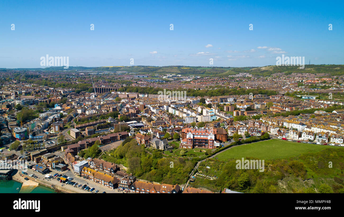 Luftaufnahmen der Stadt Folkestone, Kent, England Stockfotohttps://www.alamy.de/image-license-details/?v=1https://www.alamy.de/luftaufnahmen-der-stadt-folkestone-kent-england-image184901035.html
RFMMPY4B–Luftaufnahmen der Stadt Folkestone, Kent, England
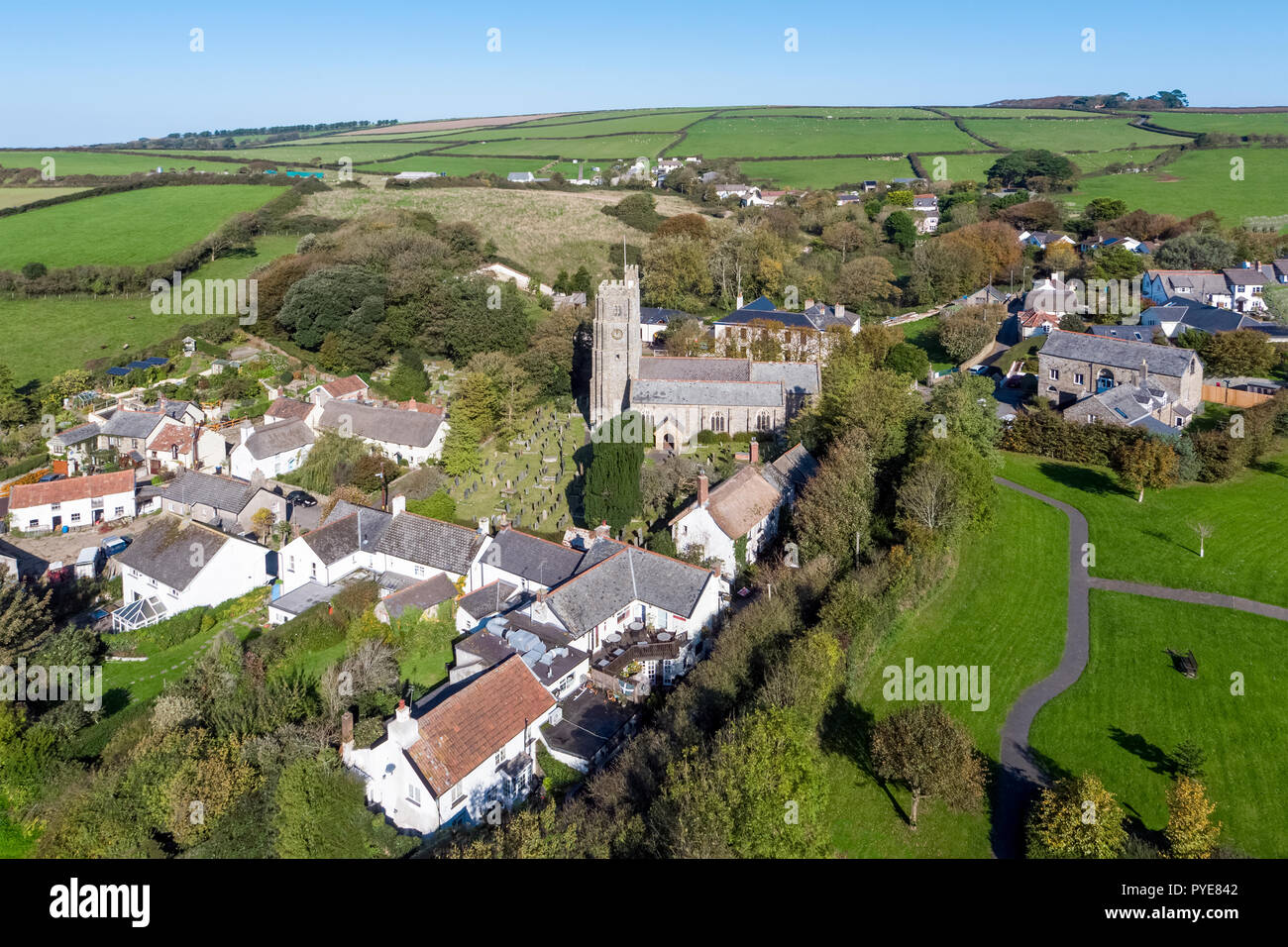 Luftaufnahme über dem Dorf Georgham, North Devon, England Stockfotohttps://www.alamy.de/image-license-details/?v=1https://www.alamy.de/luftaufnahme-uber-dem-dorf-georgham-north-devon-england-image223433842.html
RMPYE842–Luftaufnahme über dem Dorf Georgham, North Devon, England
 Luftaufnahme der Ferrybridge Power Station in Castleford Bereich Wakefield in Großbritannien befindet, zeigt die power station Kühltürme. Stockfotohttps://www.alamy.de/image-license-details/?v=1https://www.alamy.de/luftaufnahme-der-ferrybridge-power-station-in-castleford-bereich-wakefield-in-grossbritannien-befindet-zeigt-die-power-station-kuhlturme-image329576032.html
RF2A45DGG–Luftaufnahme der Ferrybridge Power Station in Castleford Bereich Wakefield in Großbritannien befindet, zeigt die power station Kühltürme.
 Cape cornwall Flugdrohne england großbritannien Stockfotohttps://www.alamy.de/image-license-details/?v=1https://www.alamy.de/cape-cornwall-flugdrohne-england-grossbritannien-image434533107.html
RF2G6XKBF–Cape cornwall Flugdrohne england großbritannien
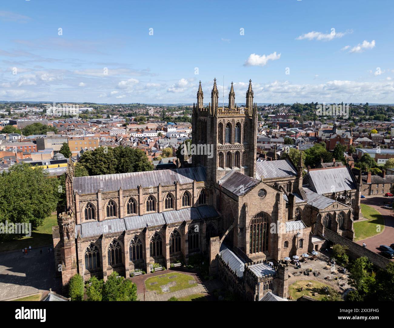 Hereford Cathedral, Herefordshire, England, Großbritannien, Luftfahrt Stockfotohttps://www.alamy.de/image-license-details/?v=1https://www.alamy.de/hereford-cathedral-herefordshire-england-grossbritannien-luftfahrt-image618422044.html
RF2XX3FHG–Hereford Cathedral, Herefordshire, England, Großbritannien, Luftfahrt
 Bamburgh Castle in Northumberland an der Nordostküste Englands aus der Vogelperspektive. Stockfotohttps://www.alamy.de/image-license-details/?v=1https://www.alamy.de/bamburgh-castle-in-northumberland-an-der-nordostkuste-englands-aus-der-vogelperspektive-image515418217.html
RF2MXF95D–Bamburgh Castle in Northumberland an der Nordostküste Englands aus der Vogelperspektive.
 Mow Cop Aerial Drone Stoke auf Trent Tourist Site Stockfotohttps://www.alamy.de/image-license-details/?v=1https://www.alamy.de/mow-cop-aerial-drone-stoke-auf-trent-tourist-site-image473139079.html
RM2JDN9M7–Mow Cop Aerial Drone Stoke auf Trent Tourist Site
 Luftdrohnenfoto der Kirche in Grantham. Grantham ist eine Stadt in Lincolnshire, England. Stockfotohttps://www.alamy.de/image-license-details/?v=1https://www.alamy.de/luftdrohnenfoto-der-kirche-in-grantham-grantham-ist-eine-stadt-in-lincolnshire-england-image556567186.html
RF2R9DR3E–Luftdrohnenfoto der Kirche in Grantham. Grantham ist eine Stadt in Lincolnshire, England.
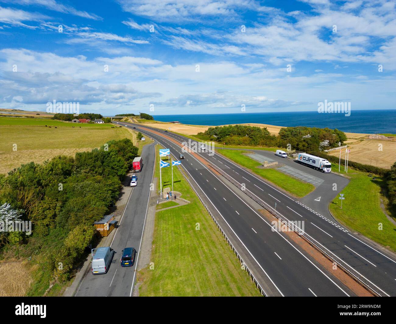 Luftaufnahme der Anglo Scottish ( England/Schottland) Grenze an der A1 bei Lamberton in Scottish Borders, Schottland, UK Stockfotohttps://www.alamy.de/image-license-details/?v=1https://www.alamy.de/luftaufnahme-der-anglo-scottish-englandschottland-grenze-an-der-a1-bei-lamberton-in-scottish-borders-schottland-uk-image566312592.html
RM2RW9NDM–Luftaufnahme der Anglo Scottish ( England/Schottland) Grenze an der A1 bei Lamberton in Scottish Borders, Schottland, UK
 Luftaufnahme von Armstuhl Cove und Broadsands Beach von einer Drohne, Paignton, Devon, England, Europa Stockfotohttps://www.alamy.de/image-license-details/?v=1https://www.alamy.de/luftaufnahme-von-armstuhl-cove-und-broadsands-beach-von-einer-drohne-paignton-devon-england-europa-image543846488.html
RF2PGP9MT–Luftaufnahme von Armstuhl Cove und Broadsands Beach von einer Drohne, Paignton, Devon, England, Europa
