Luftbild antoninwand Stockfotos & Bilder
 Luftaufnahme des römischen Fort Bar Hill an der Antonine Wall, dem höchsten römischen Fort in Schottland. Stockfotohttps://www.alamy.de/image-license-details/?v=1https://www.alamy.de/luftaufnahme-des-romischen-fort-bar-hill-an-der-antonine-wall-dem-hochsten-romischen-fort-in-schottland-image463465347.html
RM2HX0JNR–Luftaufnahme des römischen Fort Bar Hill an der Antonine Wall, dem höchsten römischen Fort in Schottland.
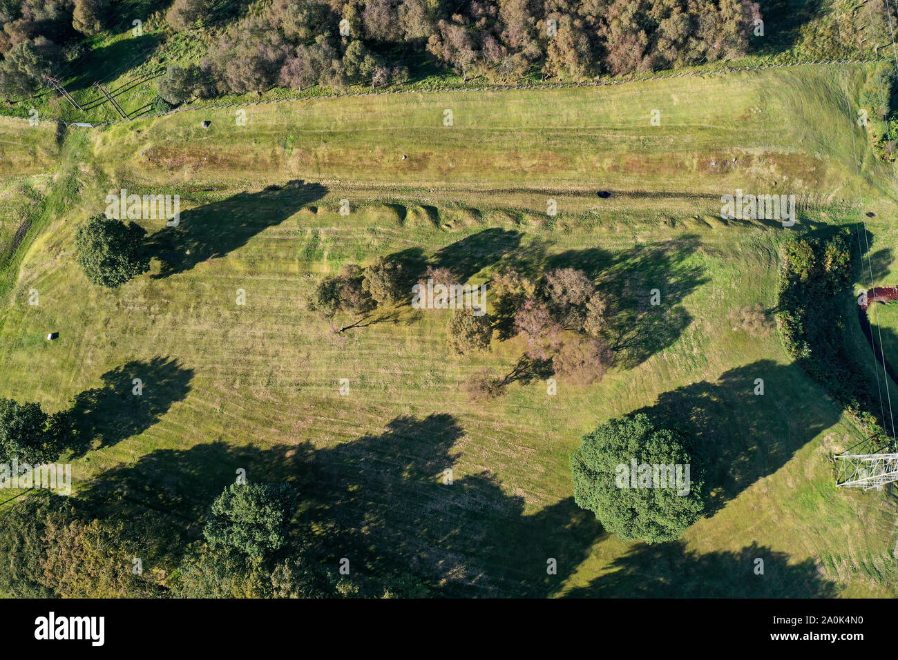 Antenne drone Ansicht des Antonine Wall und Roughcastle fort bei Falkirk Stockfotohttps://www.alamy.de/image-license-details/?v=1https://www.alamy.de/antenne-drone-ansicht-des-antonine-wall-und-roughcastle-fort-bei-falkirk-image327417804.html
RM2A0K4N0–Antenne drone Ansicht des Antonine Wall und Roughcastle fort bei Falkirk
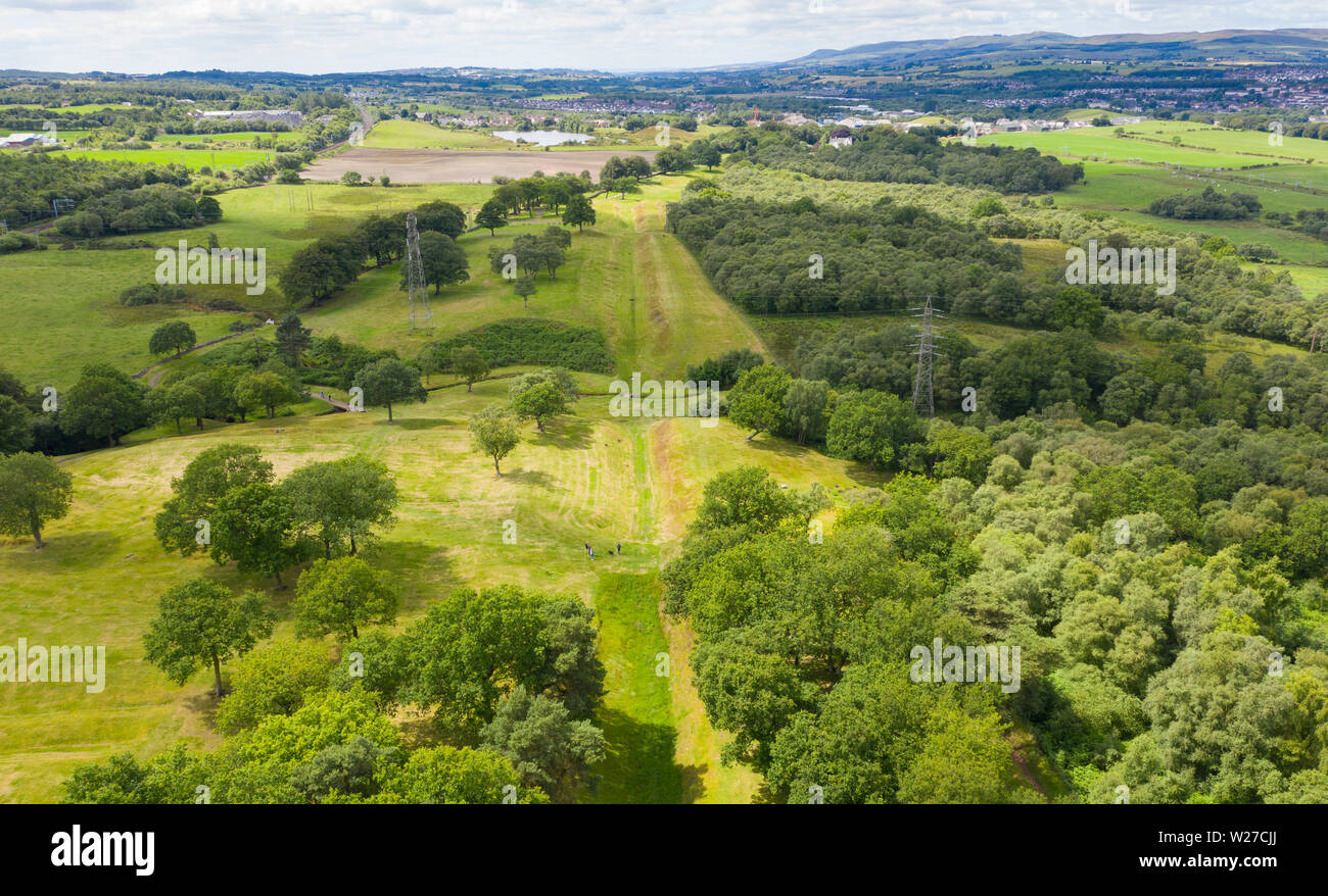 Luftbild anzeigen Route (nach Westen) der Römischen Antonine Wall am rauhen Schloss, Central Region, Schottland, Großbritannien Stockfotohttps://www.alamy.de/image-license-details/?v=1https://www.alamy.de/luftbild-anzeigen-route-nach-westen-der-romischen-antonine-wall-am-rauhen-schloss-central-region-schottland-grossbritannien-image259548426.html
RFW27CJJ–Luftbild anzeigen Route (nach Westen) der Römischen Antonine Wall am rauhen Schloss, Central Region, Schottland, Großbritannien
 Drunchapel nach Nord Westen mit Duntocher Faifley und die Kilpatrick Hügel entlang der Linie des Antoninuswalls Stockfotohttps://www.alamy.de/image-license-details/?v=1https://www.alamy.de/stockfoto-drunchapel-nach-nord-westen-mit-duntocher-faifley-und-die-kilpatrick-hugel-entlang-der-linie-des-antoninuswalls-126405317.html
RFH9J77H–Drunchapel nach Nord Westen mit Duntocher Faifley und die Kilpatrick Hügel entlang der Linie des Antoninuswalls
 Luftaufnahme des römischen Fort Bar Hill an der Antonine Wall, dem höchsten römischen Fort in Schottland. Stockfotohttps://www.alamy.de/image-license-details/?v=1https://www.alamy.de/luftaufnahme-des-romischen-fort-bar-hill-an-der-antonine-wall-dem-hochsten-romischen-fort-in-schottland-image463465355.html
RM2HX0JP3–Luftaufnahme des römischen Fort Bar Hill an der Antonine Wall, dem höchsten römischen Fort in Schottland.
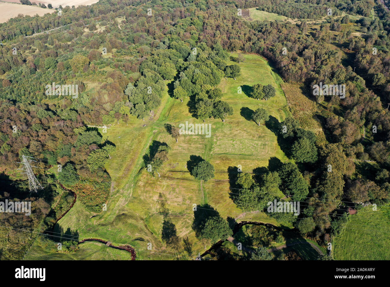 Antenne drone Ansicht des Antonine Wall und Roughcastle fort bei Falkirk Stockfotohttps://www.alamy.de/image-license-details/?v=1https://www.alamy.de/antenne-drone-ansicht-des-antonine-wall-und-roughcastle-fort-bei-falkirk-image327417887.html
RM2A0K4RY–Antenne drone Ansicht des Antonine Wall und Roughcastle fort bei Falkirk
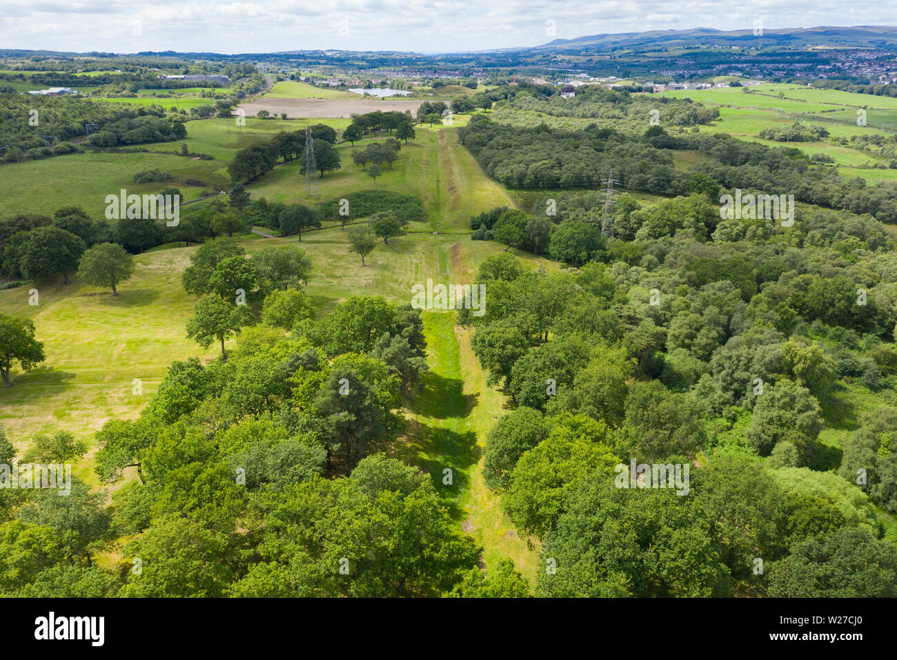 Luftbild anzeigen Route (nach Westen) der Römischen Antonine Wall am rauhen Schloss, Central Region, Schottland, Großbritannien Stockfotohttps://www.alamy.de/image-license-details/?v=1https://www.alamy.de/luftbild-anzeigen-route-nach-westen-der-romischen-antonine-wall-am-rauhen-schloss-central-region-schottland-grossbritannien-image259548408.html
RFW27CJ0–Luftbild anzeigen Route (nach Westen) der Römischen Antonine Wall am rauhen Schloss, Central Region, Schottland, Großbritannien
 Drunchapel nach Nord Westen mit Duntocher Faifley und die Kilpatrick Hügel entlang der Linie des Antoninuswalls Stockfotohttps://www.alamy.de/image-license-details/?v=1https://www.alamy.de/stockfoto-drunchapel-nach-nord-westen-mit-duntocher-faifley-und-die-kilpatrick-hugel-entlang-der-linie-des-antoninuswalls-126405307.html
RFH9J777–Drunchapel nach Nord Westen mit Duntocher Faifley und die Kilpatrick Hügel entlang der Linie des Antoninuswalls
 Drunchapel nach Nord Westen mit Duntocher Faifley und die Kilpatrick Hügel entlang der Linie des Antoninuswalls Stockfotohttps://www.alamy.de/image-license-details/?v=1https://www.alamy.de/stockfoto-drunchapel-nach-nord-westen-mit-duntocher-faifley-und-die-kilpatrick-hugel-entlang-der-linie-des-antoninuswalls-126180432.html
RFH980C0–Drunchapel nach Nord Westen mit Duntocher Faifley und die Kilpatrick Hügel entlang der Linie des Antoninuswalls
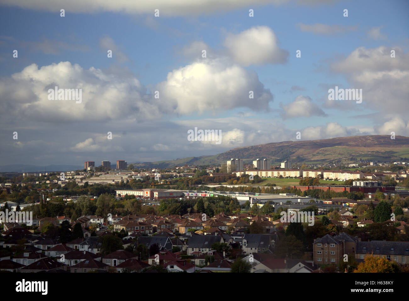 Drunchapel nach Nord Westen mit Duntocher Faifley und die Kilpatrick Hügel entlang der Linie des Antoninuswalls Stockfotohttps://www.alamy.de/image-license-details/?v=1https://www.alamy.de/stockfoto-drunchapel-nach-nord-westen-mit-duntocher-faifley-und-die-kilpatrick-hugel-entlang-der-linie-des-antoninuswalls-124233199.html
RFH638KY–Drunchapel nach Nord Westen mit Duntocher Faifley und die Kilpatrick Hügel entlang der Linie des Antoninuswalls
 Luftaufnahme des römischen Fort Bar Hill an der Antonine Wall, dem höchsten römischen Fort in Schottland. Stockfotohttps://www.alamy.de/image-license-details/?v=1https://www.alamy.de/luftaufnahme-des-romischen-fort-bar-hill-an-der-antonine-wall-dem-hochsten-romischen-fort-in-schottland-image463465363.html
RM2HX0JPB–Luftaufnahme des römischen Fort Bar Hill an der Antonine Wall, dem höchsten römischen Fort in Schottland.
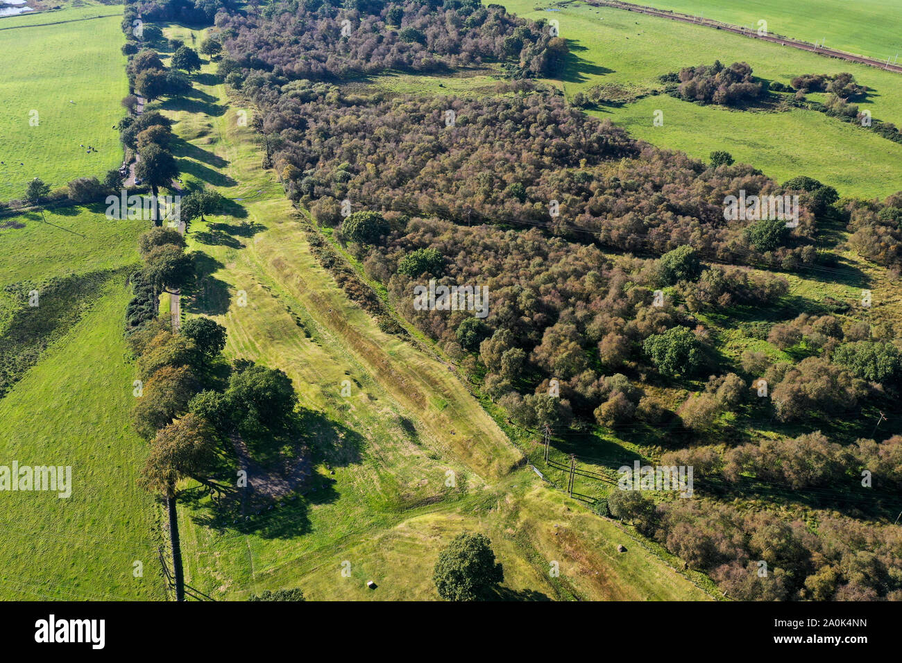 Antenne drone Ansicht des Antonine Wall und Roughcastle fort bei Falkirk Stockfotohttps://www.alamy.de/image-license-details/?v=1https://www.alamy.de/antenne-drone-ansicht-des-antonine-wall-und-roughcastle-fort-bei-falkirk-image327417825.html
RM2A0K4NN–Antenne drone Ansicht des Antonine Wall und Roughcastle fort bei Falkirk
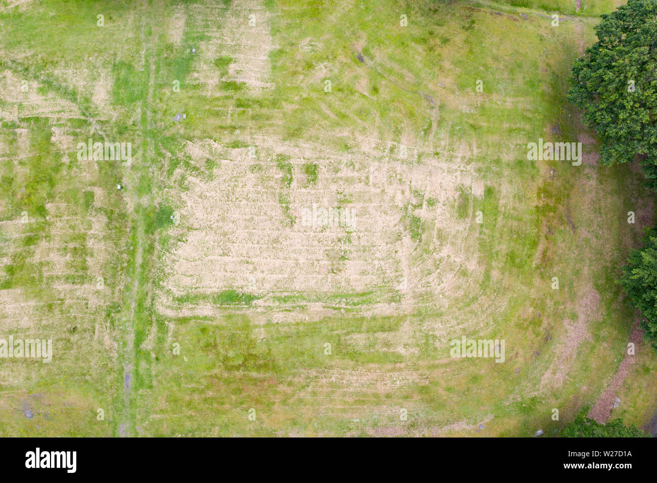 Luftaufnahme von rauen Burg Lage römischen Antonine Wall am rauhen Schloss, Central Region, Schottland, Großbritannien Stockfotohttps://www.alamy.de/image-license-details/?v=1https://www.alamy.de/luftaufnahme-von-rauen-burg-lage-romischen-antonine-wall-am-rauhen-schloss-central-region-schottland-grossbritannien-image259548726.html
RFW27D1A–Luftaufnahme von rauen Burg Lage römischen Antonine Wall am rauhen Schloss, Central Region, Schottland, Großbritannien
 Drunchapel nach Norden Westen mit Duntocher Faifley und Kilpatrick Hills Aling die Linie des Antoninuswalls Stockfotohttps://www.alamy.de/image-license-details/?v=1https://www.alamy.de/stockfoto-drunchapel-nach-norden-westen-mit-duntocher-faifley-und-kilpatrick-hills-aling-die-linie-des-antoninuswalls-124233196.html
RFH638KT–Drunchapel nach Norden Westen mit Duntocher Faifley und Kilpatrick Hills Aling die Linie des Antoninuswalls
 Luftaufnahme des römischen Fort Bar Hill an der Antonine Wall, dem höchsten römischen Fort in Schottland. Stockfotohttps://www.alamy.de/image-license-details/?v=1https://www.alamy.de/luftaufnahme-des-romischen-fort-bar-hill-an-der-antonine-wall-dem-hochsten-romischen-fort-in-schottland-image463465350.html
RM2HX0JNX–Luftaufnahme des römischen Fort Bar Hill an der Antonine Wall, dem höchsten römischen Fort in Schottland.
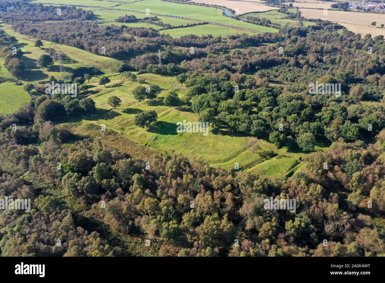 Antenne drone Ansicht des Antonine Wall und Roughcastle fort bei Falkirk Stockfotohttps://www.alamy.de/image-license-details/?v=1https://www.alamy.de/antenne-drone-ansicht-des-antonine-wall-und-roughcastle-fort-bei-falkirk-image327417940.html
RM2A0K4WT–Antenne drone Ansicht des Antonine Wall und Roughcastle fort bei Falkirk
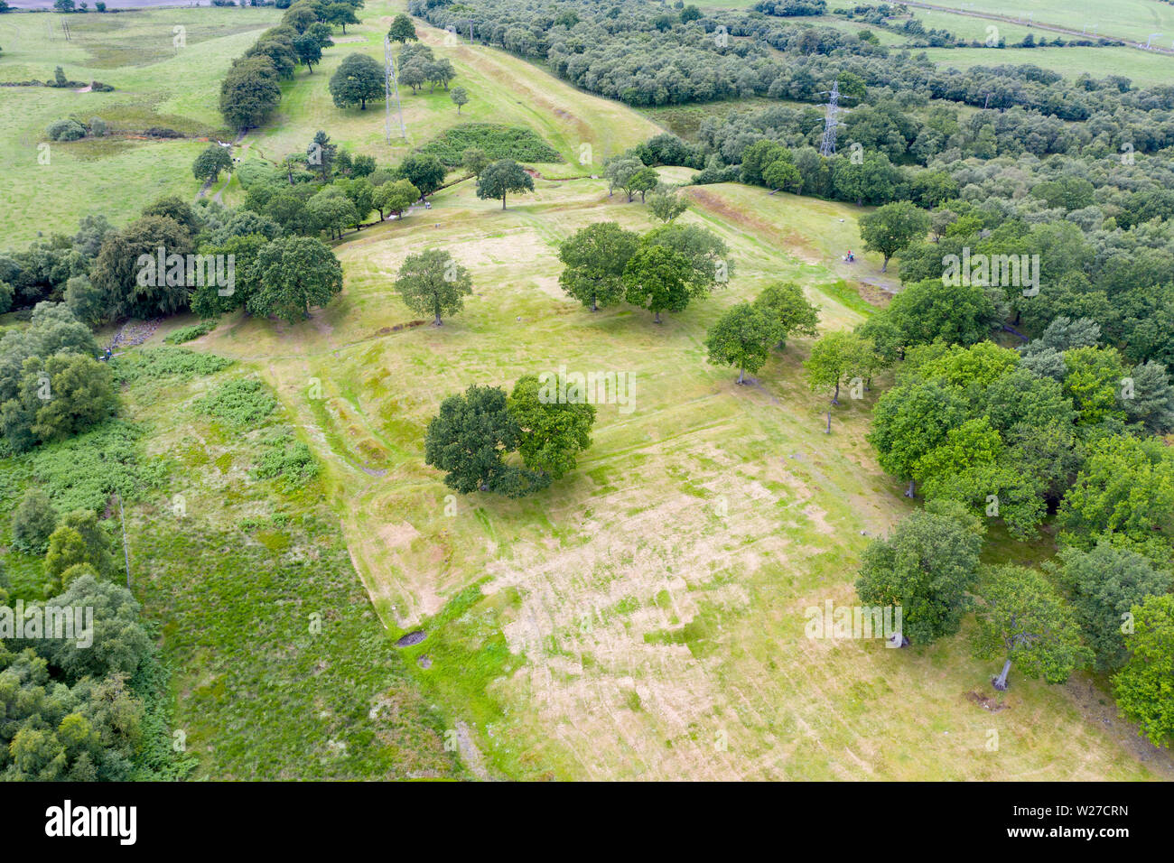 Luftaufnahme von rauen Burg Lage römischen Antonine Wall am rauhen Schloss, Central Region, Schottland, Großbritannien Stockfotohttps://www.alamy.de/image-license-details/?v=1https://www.alamy.de/luftaufnahme-von-rauen-burg-lage-romischen-antonine-wall-am-rauhen-schloss-central-region-schottland-grossbritannien-image259548569.html
RMW27CRN–Luftaufnahme von rauen Burg Lage römischen Antonine Wall am rauhen Schloss, Central Region, Schottland, Großbritannien
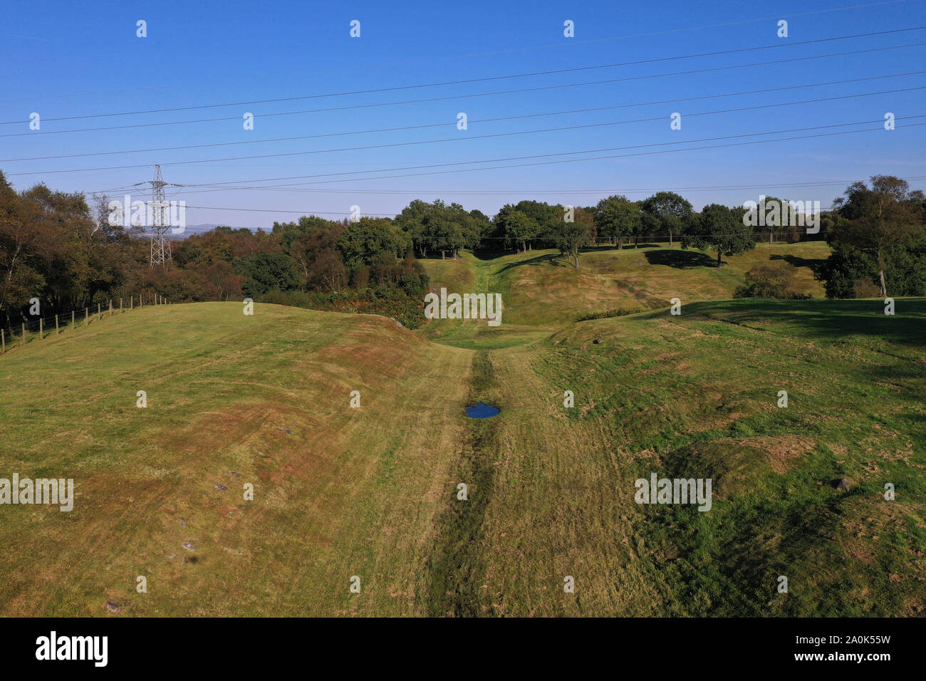 Antenne drone Ansicht des Vallum oder Graben entlang des Antonine Wall Stockfotohttps://www.alamy.de/image-license-details/?v=1https://www.alamy.de/antenne-drone-ansicht-des-vallum-oder-graben-entlang-des-antonine-wall-image327418165.html
RM2A0K55W–Antenne drone Ansicht des Vallum oder Graben entlang des Antonine Wall
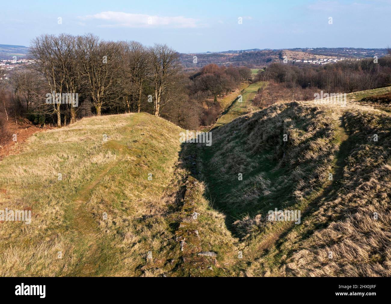 Luftaufnahme östlich der Antonine Wall vom Bar Hill Roman Fort, Twechar Hill in der Nähe von Glasgow. Stockfotohttps://www.alamy.de/image-license-details/?v=1https://www.alamy.de/luftaufnahme-ostlich-der-antonine-wall-vom-bar-hill-roman-fort-twechar-hill-in-der-nahe-von-glasgow-image463465395.html
RM2HX0JRF–Luftaufnahme östlich der Antonine Wall vom Bar Hill Roman Fort, Twechar Hill in der Nähe von Glasgow.
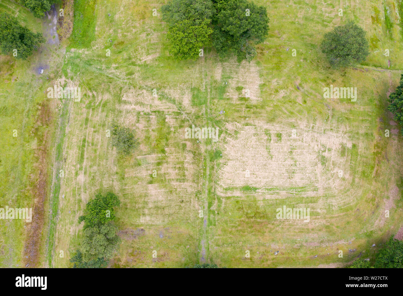 Luftaufnahme von rauen Burg Lage römischen Antonine Wall am rauhen Schloss, Central Region, Schottland, Großbritannien Stockfotohttps://www.alamy.de/image-license-details/?v=1https://www.alamy.de/luftaufnahme-von-rauen-burg-lage-romischen-antonine-wall-am-rauhen-schloss-central-region-schottland-grossbritannien-image259548602.html
RFW27CTX–Luftaufnahme von rauen Burg Lage römischen Antonine Wall am rauhen Schloss, Central Region, Schottland, Großbritannien
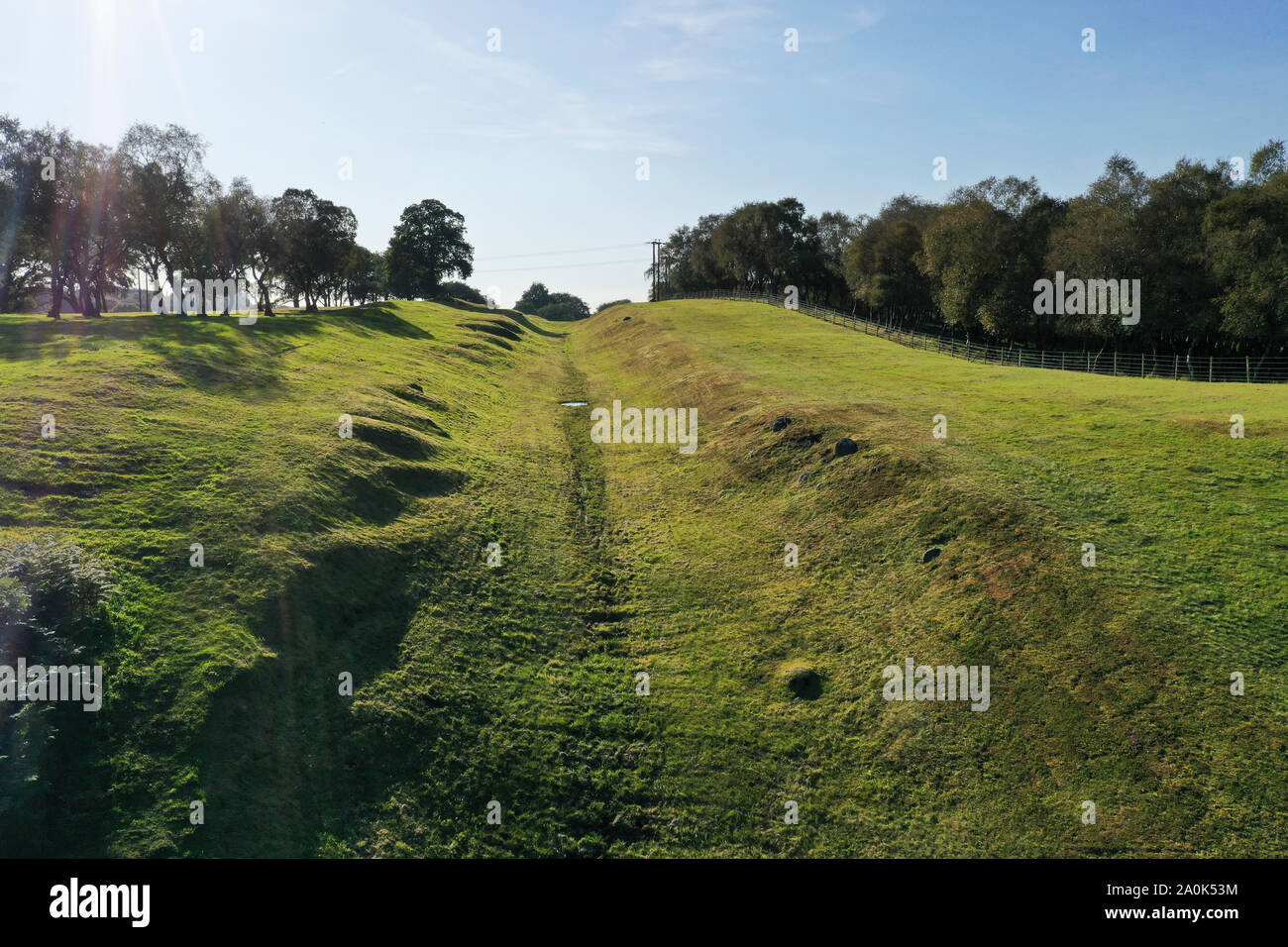 Antenne drone Ansicht des Vallum oder Graben entlang des Antonine Wall Stockfotohttps://www.alamy.de/image-license-details/?v=1https://www.alamy.de/antenne-drone-ansicht-des-vallum-oder-graben-entlang-des-antonine-wall-image327418104.html
RM2A0K53M–Antenne drone Ansicht des Vallum oder Graben entlang des Antonine Wall
 Luftaufnahme östlich der Antonine Wall vom Bar Hill Roman Fort, Twechar Hill in der Nähe von Glasgow. Stockfotohttps://www.alamy.de/image-license-details/?v=1https://www.alamy.de/luftaufnahme-ostlich-der-antonine-wall-vom-bar-hill-roman-fort-twechar-hill-in-der-nahe-von-glasgow-image463465368.html
RM2HX0JPG–Luftaufnahme östlich der Antonine Wall vom Bar Hill Roman Fort, Twechar Hill in der Nähe von Glasgow.
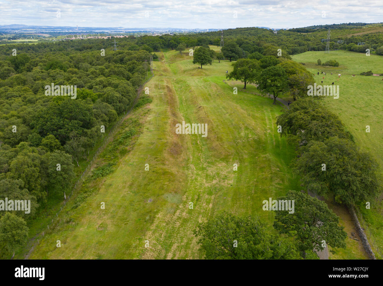 Luftbild anzeigen Route (Blick nach Osten) der Römischen Antonine Wall Graben an rauhen Schloss, Central Region, Schottland, Großbritannien Stockfotohttps://www.alamy.de/image-license-details/?v=1https://www.alamy.de/luftbild-anzeigen-route-blick-nach-osten-der-romischen-antonine-wall-graben-an-rauhen-schloss-central-region-schottland-grossbritannien-image259548435.html
RMW27CJY–Luftbild anzeigen Route (Blick nach Osten) der Römischen Antonine Wall Graben an rauhen Schloss, Central Region, Schottland, Großbritannien
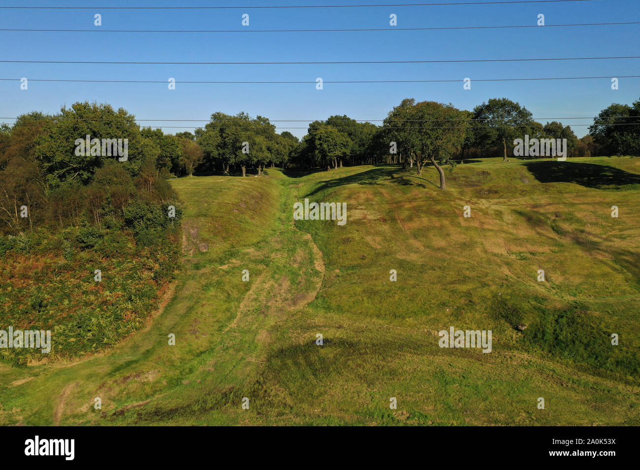 Antenne drone Ansicht des Vallum oder Graben entlang des Antonine Wall Stockfotohttps://www.alamy.de/image-license-details/?v=1https://www.alamy.de/antenne-drone-ansicht-des-vallum-oder-graben-entlang-des-antonine-wall-image327418110.html
RM2A0K53X–Antenne drone Ansicht des Vallum oder Graben entlang des Antonine Wall
 Luftaufnahme östlich der Antonine Wall vom Bar Hill Roman Fort, Twechar Hill in der Nähe von Glasgow. Stockfotohttps://www.alamy.de/image-license-details/?v=1https://www.alamy.de/luftaufnahme-ostlich-der-antonine-wall-vom-bar-hill-roman-fort-twechar-hill-in-der-nahe-von-glasgow-image463465339.html
RM2HX0JNF–Luftaufnahme östlich der Antonine Wall vom Bar Hill Roman Fort, Twechar Hill in der Nähe von Glasgow.
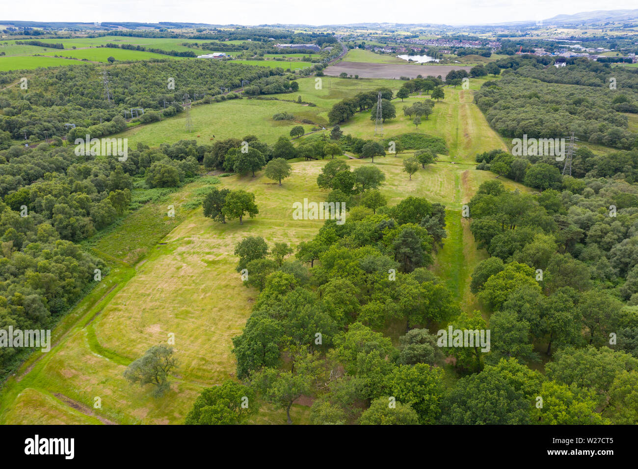 Luftaufnahme von rauen Burg Lage (auf der Suche nach West) römischen Antonine Wall am rauhen Schloss, Central Region, Schottland, Großbritannien Stockfotohttps://www.alamy.de/image-license-details/?v=1https://www.alamy.de/luftaufnahme-von-rauen-burg-lage-auf-der-suche-nach-west-romischen-antonine-wall-am-rauhen-schloss-central-region-schottland-grossbritannien-image259548581.html
RFW27CT5–Luftaufnahme von rauen Burg Lage (auf der Suche nach West) römischen Antonine Wall am rauhen Schloss, Central Region, Schottland, Großbritannien
 Luftaufnahme östlich der Antonine Wall vom Bar Hill Roman Fort, Twechar Hill in der Nähe von Glasgow. Stockfotohttps://www.alamy.de/image-license-details/?v=1https://www.alamy.de/luftaufnahme-ostlich-der-antonine-wall-vom-bar-hill-roman-fort-twechar-hill-in-der-nahe-von-glasgow-image463465365.html
RM2HX0JPD–Luftaufnahme östlich der Antonine Wall vom Bar Hill Roman Fort, Twechar Hill in der Nähe von Glasgow.
 Luftaufnahme östlich der Antonine Wall vom Bar Hill Roman Fort, Twechar Hill in der Nähe von Glasgow. Stockfotohttps://www.alamy.de/image-license-details/?v=1https://www.alamy.de/luftaufnahme-ostlich-der-antonine-wall-vom-bar-hill-roman-fort-twechar-hill-in-der-nahe-von-glasgow-image463465371.html
RM2HX0JPK–Luftaufnahme östlich der Antonine Wall vom Bar Hill Roman Fort, Twechar Hill in der Nähe von Glasgow.
 Luftaufnahme östlich der Antonine Wall vom Bar Hill Roman Fort, Twechar Hill in der Nähe von Glasgow. Stockfotohttps://www.alamy.de/image-license-details/?v=1https://www.alamy.de/luftaufnahme-ostlich-der-antonine-wall-vom-bar-hill-roman-fort-twechar-hill-in-der-nahe-von-glasgow-image463465367.html
RM2HX0JPF–Luftaufnahme östlich der Antonine Wall vom Bar Hill Roman Fort, Twechar Hill in der Nähe von Glasgow.
 Luftaufnahme östlich der Antonine Wall vom Bar Hill Roman Fort, Twechar Hill in der Nähe von Glasgow. Stockfotohttps://www.alamy.de/image-license-details/?v=1https://www.alamy.de/luftaufnahme-ostlich-der-antonine-wall-vom-bar-hill-roman-fort-twechar-hill-in-der-nahe-von-glasgow-image463465372.html
RM2HX0JPM–Luftaufnahme östlich der Antonine Wall vom Bar Hill Roman Fort, Twechar Hill in der Nähe von Glasgow.
 Luftaufnahme östlich der Antonine Wall vom Bar Hill Roman Fort, Twechar Hill in der Nähe von Glasgow. Stockfotohttps://www.alamy.de/image-license-details/?v=1https://www.alamy.de/luftaufnahme-ostlich-der-antonine-wall-vom-bar-hill-roman-fort-twechar-hill-in-der-nahe-von-glasgow-image463465388.html
RM2HX0JR8–Luftaufnahme östlich der Antonine Wall vom Bar Hill Roman Fort, Twechar Hill in der Nähe von Glasgow.
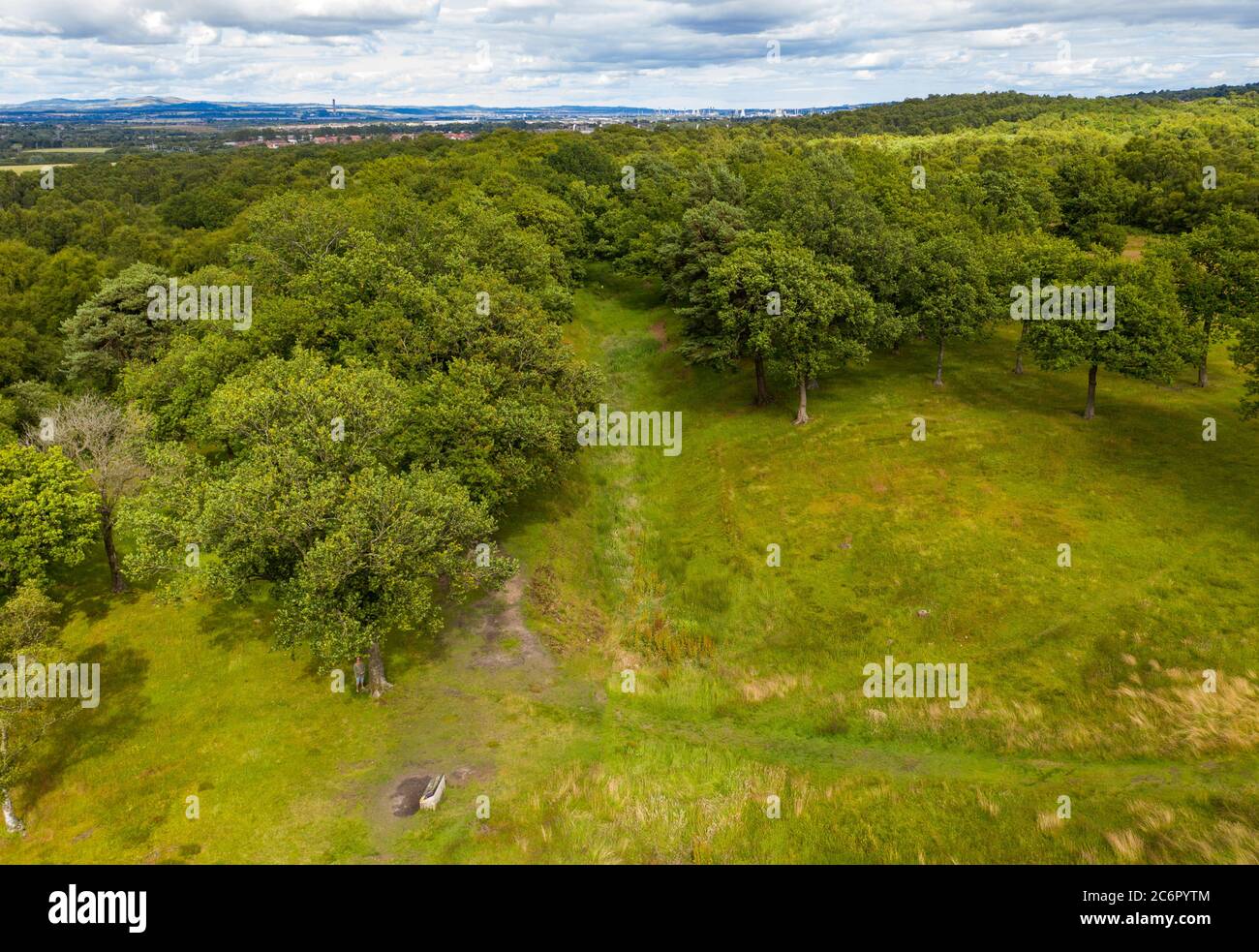 Luftaufnahme der Antonine Wall am Rough Castle Fort, einem römischen Verteidigungsfort in der Nähe von Falkirk, Schottland, Großbritannien. Stockfotohttps://www.alamy.de/image-license-details/?v=1https://www.alamy.de/luftaufnahme-der-antonine-wall-am-rough-castle-fort-einem-romischen-verteidigungsfort-in-der-nahe-von-falkirk-schottland-grossbritannien-image365610468.html
RM2C6PYTM–Luftaufnahme der Antonine Wall am Rough Castle Fort, einem römischen Verteidigungsfort in der Nähe von Falkirk, Schottland, Großbritannien.
 Luftaufnahme der Antonine Wall am Rough Castle Fort, einem römischen Verteidigungsfort in der Nähe von Falkirk, Schottland, Großbritannien. Stockfotohttps://www.alamy.de/image-license-details/?v=1https://www.alamy.de/luftaufnahme-der-antonine-wall-am-rough-castle-fort-einem-romischen-verteidigungsfort-in-der-nahe-von-falkirk-schottland-grossbritannien-image365610500.html
RM2C6PYWT–Luftaufnahme der Antonine Wall am Rough Castle Fort, einem römischen Verteidigungsfort in der Nähe von Falkirk, Schottland, Großbritannien.
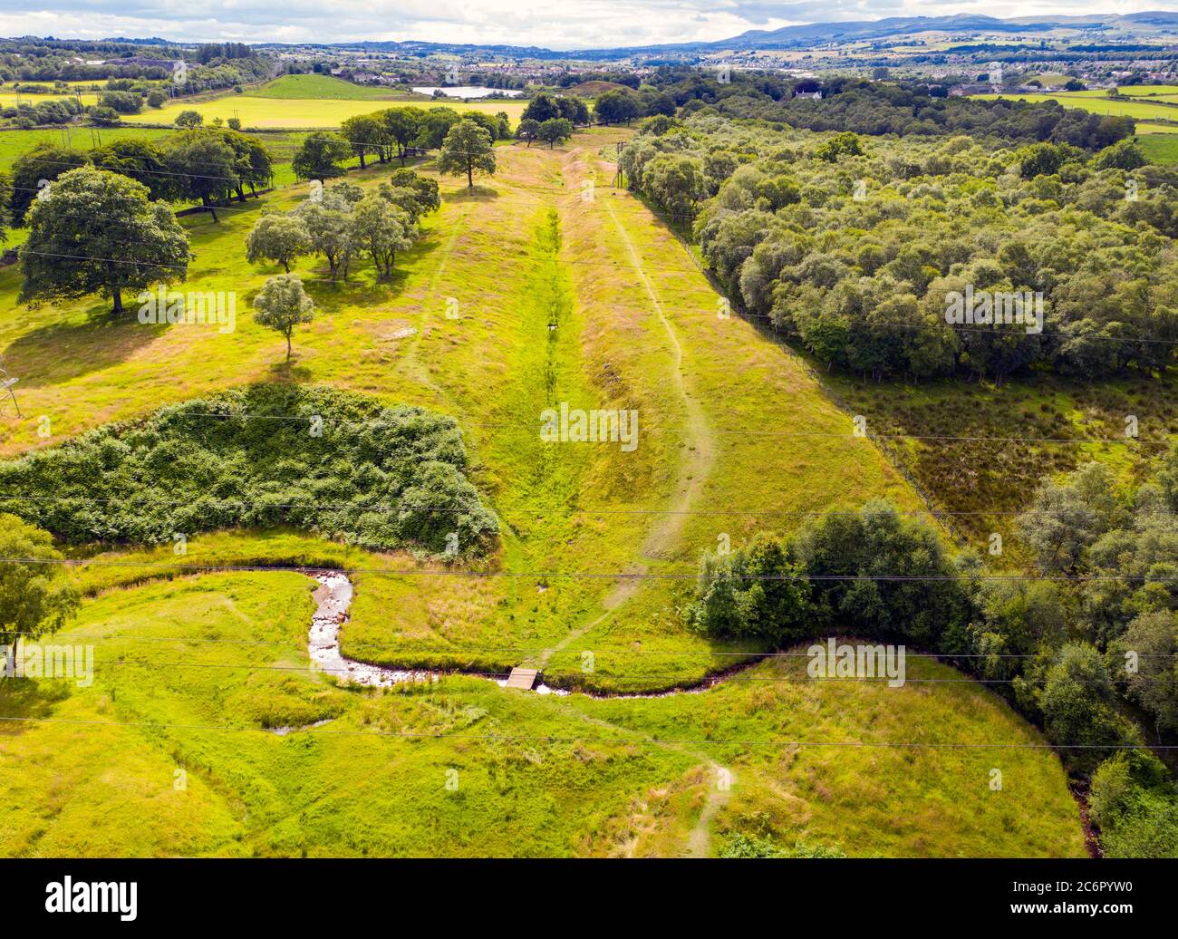 Luftaufnahme der Antonine Wall am Rough Castle Fort, einem römischen Verteidigungsfort in der Nähe von Falkirk, Schottland, Großbritannien. Stockfotohttps://www.alamy.de/image-license-details/?v=1https://www.alamy.de/luftaufnahme-der-antonine-wall-am-rough-castle-fort-einem-romischen-verteidigungsfort-in-der-nahe-von-falkirk-schottland-grossbritannien-image365610476.html
RM2C6PYW0–Luftaufnahme der Antonine Wall am Rough Castle Fort, einem römischen Verteidigungsfort in der Nähe von Falkirk, Schottland, Großbritannien.
 Luftaufnahme der Antonine Wall am Rough Castle Fort, einem römischen Verteidigungsfort in der Nähe von Falkirk, Schottland, Großbritannien. Stockfotohttps://www.alamy.de/image-license-details/?v=1https://www.alamy.de/luftaufnahme-der-antonine-wall-am-rough-castle-fort-einem-romischen-verteidigungsfort-in-der-nahe-von-falkirk-schottland-grossbritannien-image365610472.html
RM2C6PYTT–Luftaufnahme der Antonine Wall am Rough Castle Fort, einem römischen Verteidigungsfort in der Nähe von Falkirk, Schottland, Großbritannien.
 Luftaufnahme der Antonine Wall am Rough Castle Fort, einem römischen Verteidigungsfort in der Nähe von Falkirk, Schottland, Großbritannien. Stockfotohttps://www.alamy.de/image-license-details/?v=1https://www.alamy.de/luftaufnahme-der-antonine-wall-am-rough-castle-fort-einem-romischen-verteidigungsfort-in-der-nahe-von-falkirk-schottland-grossbritannien-image365610475.html
RM2C6PYTY–Luftaufnahme der Antonine Wall am Rough Castle Fort, einem römischen Verteidigungsfort in der Nähe von Falkirk, Schottland, Großbritannien.
 Luftaufnahme der Antonine Wall am Rough Castle Fort, einem römischen Verteidigungsfort in der Nähe von Falkirk, Schottland, Großbritannien. Stockfotohttps://www.alamy.de/image-license-details/?v=1https://www.alamy.de/luftaufnahme-der-antonine-wall-am-rough-castle-fort-einem-romischen-verteidigungsfort-in-der-nahe-von-falkirk-schottland-grossbritannien-image365610378.html
RM2C6PYNE–Luftaufnahme der Antonine Wall am Rough Castle Fort, einem römischen Verteidigungsfort in der Nähe von Falkirk, Schottland, Großbritannien.
 Drohnenansicht der römischen Festung Kinneil, Kennel-Anwesen, Bo'ness, Schottland. Stockfotohttps://www.alamy.de/image-license-details/?v=1https://www.alamy.de/drohnenansicht-der-romischen-festung-kinneil-kennel-anwesen-boness-schottland-image596710454.html
RM2WJPE7J–Drohnenansicht der römischen Festung Kinneil, Kennel-Anwesen, Bo'ness, Schottland.
 Drohnenansicht der römischen Festung Kinneil, Kennel-Anwesen, Bo'ness, Schottland. Stockfotohttps://www.alamy.de/image-license-details/?v=1https://www.alamy.de/drohnenansicht-der-romischen-festung-kinneil-kennel-anwesen-boness-schottland-image596710457.html
RM2WJPE7N–Drohnenansicht der römischen Festung Kinneil, Kennel-Anwesen, Bo'ness, Schottland.
 Drohnenansicht der römischen Festung Kinneil, Kennel-Anwesen, Bo'ness, Schottland. Stockfotohttps://www.alamy.de/image-license-details/?v=1https://www.alamy.de/drohnenansicht-der-romischen-festung-kinneil-kennel-anwesen-boness-schottland-image596710464.html
RM2WJPE80–Drohnenansicht der römischen Festung Kinneil, Kennel-Anwesen, Bo'ness, Schottland.
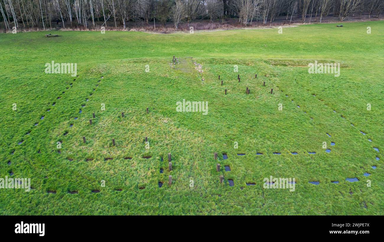 Drohnenansicht der römischen Festung Kinneil, Kennel-Anwesen, Bo'ness, Schottland. Stockfotohttps://www.alamy.de/image-license-details/?v=1https://www.alamy.de/drohnenansicht-der-romischen-festung-kinneil-kennel-anwesen-boness-schottland-image596710462.html
RM2WJPE7X–Drohnenansicht der römischen Festung Kinneil, Kennel-Anwesen, Bo'ness, Schottland.
 Drohnenansicht der römischen Festung Kinneil, Kennel-Anwesen, Bo'ness, Schottland. Stockfotohttps://www.alamy.de/image-license-details/?v=1https://www.alamy.de/drohnenansicht-der-romischen-festung-kinneil-kennel-anwesen-boness-schottland-image596710453.html
RM2WJPE7H–Drohnenansicht der römischen Festung Kinneil, Kennel-Anwesen, Bo'ness, Schottland.
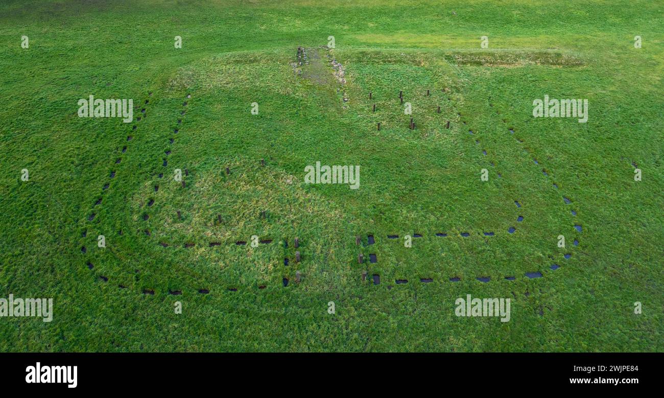 Drohnenansicht der römischen Festung Kinneil, Kennel-Anwesen, Bo'ness, Schottland. Stockfotohttps://www.alamy.de/image-license-details/?v=1https://www.alamy.de/drohnenansicht-der-romischen-festung-kinneil-kennel-anwesen-boness-schottland-image596710468.html
RM2WJPE84–Drohnenansicht der römischen Festung Kinneil, Kennel-Anwesen, Bo'ness, Schottland.
 Drohnenansicht der römischen Festung Kinneil, Kennel-Anwesen, Bo'ness, Schottland. Stockfotohttps://www.alamy.de/image-license-details/?v=1https://www.alamy.de/drohnenansicht-der-romischen-festung-kinneil-kennel-anwesen-boness-schottland-image596710460.html
RM2WJPE7T–Drohnenansicht der römischen Festung Kinneil, Kennel-Anwesen, Bo'ness, Schottland.