Schnellfilter:
Luftaufnahmen irland Stockfotos & Bilder
 Little Skelig Ireland aus einer Luftaufnahme Stockfotohttps://www.alamy.de/image-license-details/?v=1https://www.alamy.de/little-skelig-ireland-aus-einer-luftaufnahme-image479655919.html
RF2JTA60F–Little Skelig Ireland aus einer Luftaufnahme
 Eine Panorama-Luftaufnahme der Berge der Central Dingle Peninsula in der Grafschaft Kerry von Irland Stockfotohttps://www.alamy.de/image-license-details/?v=1https://www.alamy.de/eine-panorama-luftaufnahme-der-berge-der-central-dingle-peninsula-in-der-grafschaft-kerry-von-irland-image627471949.html
RF2YCRPTD–Eine Panorama-Luftaufnahme der Berge der Central Dingle Peninsula in der Grafschaft Kerry von Irland
 Das Eire 74 ist einer der Landmarker an der Küste Irlands Küstengrenzen wurden während des Zweiten Weltkriegs verwendet Stockfotohttps://www.alamy.de/image-license-details/?v=1https://www.alamy.de/das-eire-74-ist-einer-der-landmarker-an-der-kuste-irlands-kustengrenzen-wurden-wahrend-des-zweiten-weltkriegs-verwendet-image368387475.html
RF2CB9DYF–Das Eire 74 ist einer der Landmarker an der Küste Irlands Küstengrenzen wurden während des Zweiten Weltkriegs verwendet
 Dublin, Irland Stockfotohttps://www.alamy.de/image-license-details/?v=1https://www.alamy.de/dublin-irland-image185801482.html
RMMP7YK6–Dublin, Irland
 Drone Luftaufnahme des Flusses Liffey und die Docklands von Dublin in Irland. Stockfotohttps://www.alamy.de/image-license-details/?v=1https://www.alamy.de/drone-luftaufnahme-des-flusses-liffey-und-die-docklands-von-dublin-in-irland-image339784915.html
RM2AMPF3F–Drone Luftaufnahme des Flusses Liffey und die Docklands von Dublin in Irland.
 Luftbild von Irland, Kerry Strand Stockfotohttps://www.alamy.de/image-license-details/?v=1https://www.alamy.de/stockfoto-luftbild-von-irland-kerry-strand-171253634.html
RMKXH7N6–Luftbild von Irland, Kerry Strand
 Luftdrohnenaufnahme von Croagh Patrick, County Mayo, Irland Stockfotohttps://www.alamy.de/image-license-details/?v=1https://www.alamy.de/luftdrohnenaufnahme-von-croagh-patrick-county-mayo-irland-image367768321.html
RF2CA986W–Luftdrohnenaufnahme von Croagh Patrick, County Mayo, Irland
 Luftaufnahme des Muckross House and Gardens in Killarney, County Kerry, Irland. Stockfotohttps://www.alamy.de/image-license-details/?v=1https://www.alamy.de/luftaufnahme-des-muckross-house-and-gardens-in-killarney-county-kerry-irland-image402184539.html
RM2EA92DF–Luftaufnahme des Muckross House and Gardens in Killarney, County Kerry, Irland.
 Luftaufnahme von Kilkenny Castle und den Fluss Nore entlang Seite, Kilkenny, Irland. Stockfotohttps://www.alamy.de/image-license-details/?v=1https://www.alamy.de/luftaufnahme-von-kilkenny-castle-und-den-fluss-nore-entlang-seite-kilkenny-irland-image182822089.html
RMMHC7C9–Luftaufnahme von Kilkenny Castle und den Fluss Nore entlang Seite, Kilkenny, Irland.
 Luftaufnahme der irischen Küste in Howth, Dublin Stockfotohttps://www.alamy.de/image-license-details/?v=1https://www.alamy.de/luftaufnahme-der-irischen-kuste-in-howth-dublin-image261598762.html
RFW5GRTX–Luftaufnahme der irischen Küste in Howth, Dublin
 Scrabo Tower in der Nähe von Newtownards in Nordirland Stockfotohttps://www.alamy.de/image-license-details/?v=1https://www.alamy.de/scrabo-tower-in-der-nahe-von-newtownards-in-nordirland-image410819831.html
RF2ETACTR–Scrabo Tower in der Nähe von Newtownards in Nordirland
 N25 Rose Kennedy längste Brücke in Irland Stockfotohttps://www.alamy.de/image-license-details/?v=1https://www.alamy.de/n25-rose-kennedy-langste-brucke-in-irland-image434680644.html
RM2G75BGM–N25 Rose Kennedy längste Brücke in Irland
 Die wunderschönen Wicklow Mountains in Irland - Luftaufnahmen Stockfotohttps://www.alamy.de/image-license-details/?v=1https://www.alamy.de/die-wunderschonen-wicklow-mountains-in-irland-luftaufnahmen-image418777802.html
RF2F98YA2–Die wunderschönen Wicklow Mountains in Irland - Luftaufnahmen
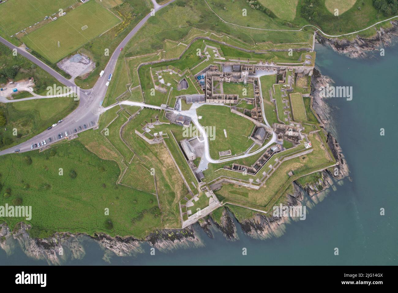 Charles Fort Kinsale Irland Drohne Luftaufnahme Stockfotohttps://www.alamy.de/image-license-details/?v=1https://www.alamy.de/charles-fort-kinsale-irland-drohne-luftaufnahme-image474539994.html
RF2JG14GX–Charles Fort Kinsale Irland Drohne Luftaufnahme
 Luftdrohnenfoto der St. Finbarr's Church, Gougane Barra, West ireland Stockfotohttps://www.alamy.de/image-license-details/?v=1https://www.alamy.de/luftdrohnenfoto-der-st-finbarrs-church-gougane-barra-west-ireland-image447352806.html
RF2GYPK1X–Luftdrohnenfoto der St. Finbarr's Church, Gougane Barra, West ireland
 Luftdrohnenfoto der St. Finbarr's Church, Gougane Barra, West ireland Stockfotohttps://www.alamy.de/image-license-details/?v=1https://www.alamy.de/luftdrohnenfoto-der-st-finbarrs-church-gougane-barra-west-ireland-image465113733.html
RF2J0KN8N–Luftdrohnenfoto der St. Finbarr's Church, Gougane Barra, West ireland
 Meine lokalen Vorort vom Himmel. Downpatrick, Nordirland - (irisch: Dún Pádraig, was bedeutet, dass "Patrick's Festung") Stockfotohttps://www.alamy.de/image-license-details/?v=1https://www.alamy.de/meine-lokalen-vorort-vom-himmel-downpatrick-nordirland-irisch-dn-pdraig-was-bedeutet-dass-patricks-festung-image229457076.html
RFR98JRG–Meine lokalen Vorort vom Himmel. Downpatrick, Nordirland - (irisch: Dún Pádraig, was bedeutet, dass "Patrick's Festung")
 Luftaufnahme der Skyline von Dublin mit einem Fluss, der durch eine Brücke fließt, die zwei Seiten der Straße verbindet und an einem bewölkten Tag von Gebäuden umgeben ist Stockfotohttps://www.alamy.de/image-license-details/?v=1https://www.alamy.de/luftaufnahme-der-skyline-von-dublin-mit-einem-fluss-der-durch-eine-brucke-fliesst-die-zwei-seiten-der-strasse-verbindet-und-an-einem-bewolkten-tag-von-gebauden-umgeben-ist-image441312867.html
RF2GHYF1R–Luftaufnahme der Skyline von Dublin mit einem Fluss, der durch eine Brücke fließt, die zwei Seiten der Straße verbindet und an einem bewölkten Tag von Gebäuden umgeben ist
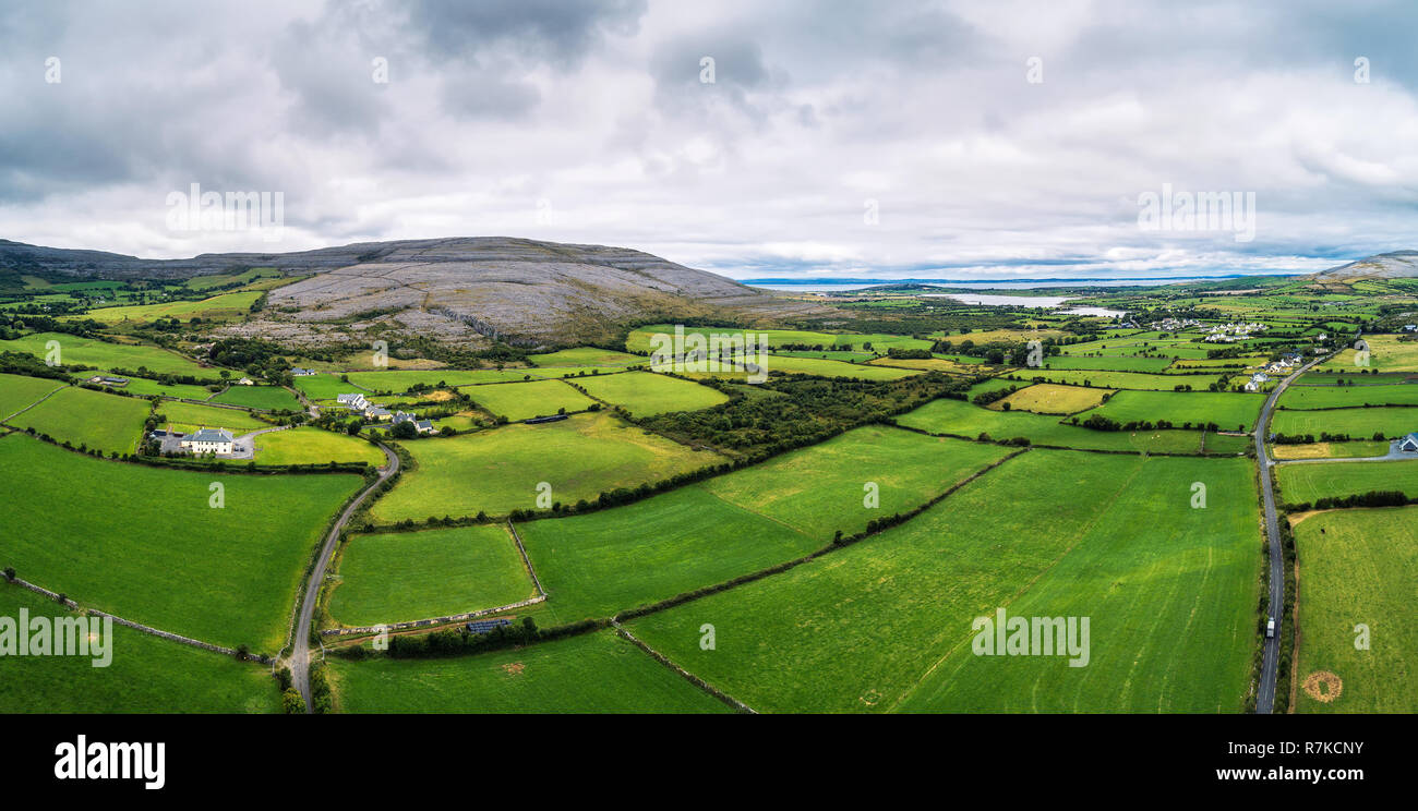 Luftaufnahme des Burren in Irland Stockfotohttps://www.alamy.de/image-license-details/?v=1https://www.alamy.de/luftaufnahme-des-burren-in-irland-image228464487.html
RFR7KCNY–Luftaufnahme des Burren in Irland
 Skelig Michael von einer Luftaufnahme in Irland Stockfotohttps://www.alamy.de/image-license-details/?v=1https://www.alamy.de/skelig-michael-von-einer-luftaufnahme-in-irland-image479655868.html
RF2JTA5XM–Skelig Michael von einer Luftaufnahme in Irland
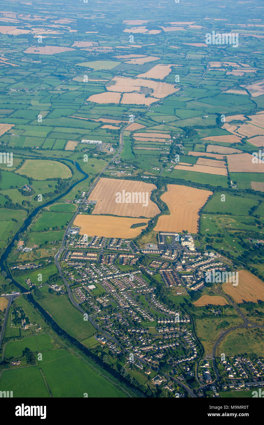 Antenne z.b Feldern rund um Dublin, Irland Stockfotohttps://www.alamy.de/image-license-details/?v=1https://www.alamy.de/antenne-zb-feldern-rund-um-dublin-irland-image178092680.html
RFM9MR0T–Antenne z.b Feldern rund um Dublin, Irland
 Ein Luftbild der Überreste der alten hölzernen Pier in Fahan Donegal Irland Stockfotohttps://www.alamy.de/image-license-details/?v=1https://www.alamy.de/ein-luftbild-der-uberreste-der-alten-holzernen-pier-in-fahan-donegal-irland-image363396988.html
RF2C364FT–Ein Luftbild der Überreste der alten hölzernen Pier in Fahan Donegal Irland
 Farb-Satellitenbild von Irland. Stockfotohttps://www.alamy.de/image-license-details/?v=1https://www.alamy.de/farb-satellitenbild-von-irland-image597465766.html
RM2WM0WK2–Farb-Satellitenbild von Irland.
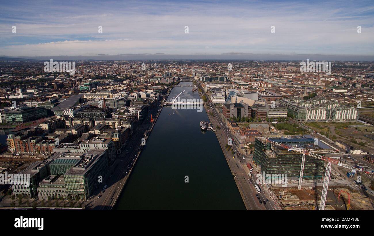 Antenne drone Ansicht der Samuel Beckett Brücke und den Fluss Liffey in Dublin, Irland. Stockfotohttps://www.alamy.de/image-license-details/?v=1https://www.alamy.de/antenne-drone-ansicht-der-samuel-beckett-brucke-und-den-fluss-liffey-in-dublin-irland-image339784911.html
RM2AMPF3B–Antenne drone Ansicht der Samuel Beckett Brücke und den Fluss Liffey in Dublin, Irland.
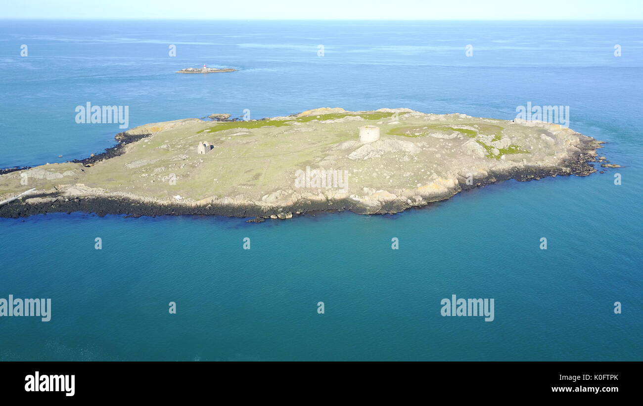 Dalkey Island, Luftaufnahme Stockfotohttps://www.alamy.de/image-license-details/?v=1https://www.alamy.de/dalkey-island-luftaufnahme-image155242043.html
RFK0FTPK–Dalkey Island, Luftaufnahme
 Panorama-Luftdrohne Bild von Croagh Patrick, County Mayo, Irland Stockfotohttps://www.alamy.de/image-license-details/?v=1https://www.alamy.de/panorama-luftdrohne-bild-von-croagh-patrick-county-mayo-irland-image367763950.html
RF2CA92JP–Panorama-Luftdrohne Bild von Croagh Patrick, County Mayo, Irland
 Luftaufnahme des Strokestown Parks und des Irish National Hungersnot Museum, County Roscommon, Irland. Stockfotohttps://www.alamy.de/image-license-details/?v=1https://www.alamy.de/luftaufnahme-des-strokestown-parks-und-des-irish-national-hungersnot-museum-county-roscommon-irland-image402184466.html
RF2EA92AX–Luftaufnahme des Strokestown Parks und des Irish National Hungersnot Museum, County Roscommon, Irland.
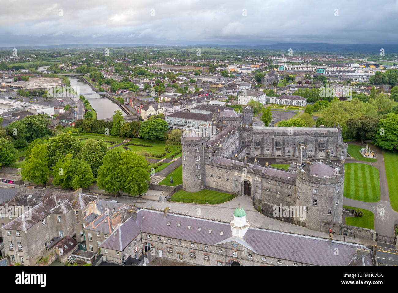 Luftaufnahme von Kilkenny Castle und den Fluss Nore entlang Seite, Kilkenny, Irland. Stockfotohttps://www.alamy.de/image-license-details/?v=1https://www.alamy.de/luftaufnahme-von-kilkenny-castle-und-den-fluss-nore-entlang-seite-kilkenny-irland-image182822090.html
RMMHC7CA–Luftaufnahme von Kilkenny Castle und den Fluss Nore entlang Seite, Kilkenny, Irland.
 Dublin Luftaufnahme von Beaumont Village Stockfotohttps://www.alamy.de/image-license-details/?v=1https://www.alamy.de/dublin-luftaufnahme-von-beaumont-village-image261599099.html
RFW5GT8Y–Dublin Luftaufnahme von Beaumont Village
 Scrabo Tower in der Nähe von Newtownards in Nordirland Stockfotohttps://www.alamy.de/image-license-details/?v=1https://www.alamy.de/scrabo-tower-in-der-nahe-von-newtownards-in-nordirland-image410819895.html
RF2ETACY3–Scrabo Tower in der Nähe von Newtownards in Nordirland
 N25 Rose Kennedy längste Brücke in Irland Stockfotohttps://www.alamy.de/image-license-details/?v=1https://www.alamy.de/n25-rose-kennedy-langste-brucke-in-irland-image434679636.html
RM2G75A8M–N25 Rose Kennedy längste Brücke in Irland
 Schöner Dunree Head in Irland - Luftaufnahmen Stockfotohttps://www.alamy.de/image-license-details/?v=1https://www.alamy.de/schoner-dunree-head-in-irland-luftaufnahmen-image418777797.html
RF2F98Y9W–Schöner Dunree Head in Irland - Luftaufnahmen
 Charles Fort Kinsale Irland Drohne Luftaufnahme Stockfotohttps://www.alamy.de/image-license-details/?v=1https://www.alamy.de/charles-fort-kinsale-irland-drohne-luftaufnahme-image474539991.html
RF2JG14GR–Charles Fort Kinsale Irland Drohne Luftaufnahme
 Luftdrohnenfoto der St. Finbarr's Church, Gougane Barra, West ireland Stockfotohttps://www.alamy.de/image-license-details/?v=1https://www.alamy.de/luftdrohnenfoto-der-st-finbarrs-church-gougane-barra-west-ireland-image447352738.html
RF2GYPJYE–Luftdrohnenfoto der St. Finbarr's Church, Gougane Barra, West ireland
 Drohnen-Luftlandschaft des Charles Fort in Kinsale Cork County Irland. Stockfotohttps://www.alamy.de/image-license-details/?v=1https://www.alamy.de/drohnen-luftlandschaft-des-charles-fort-in-kinsale-cork-county-irland-image503321527.html
RF2M6T7MR–Drohnen-Luftlandschaft des Charles Fort in Kinsale Cork County Irland.
 Das schmale Wasser bewacht die Grenze zwischen Irland und Nordirland, ein mittelalterliches befestigtes Turmhaus mit umschließender Mauer Stockfotohttps://www.alamy.de/image-license-details/?v=1https://www.alamy.de/das-schmale-wasser-bewacht-die-grenze-zwischen-irland-und-nordirland-ein-mittelalterliches-befestigtes-turmhaus-mit-umschliessender-mauer-image565185948.html
RF2RRECCC–Das schmale Wasser bewacht die Grenze zwischen Irland und Nordirland, ein mittelalterliches befestigtes Turmhaus mit umschließender Mauer
 Johnstown Castle, Irland Stockfotohttps://www.alamy.de/image-license-details/?v=1https://www.alamy.de/stockfoto-johnstown-castle-irland-105161251.html
RFG32E6Y–Johnstown Castle, Irland
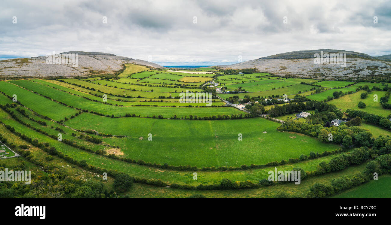 Luftaufnahme des Burren in Irland Stockfotohttps://www.alamy.de/image-license-details/?v=1https://www.alamy.de/luftaufnahme-des-burren-in-irland-image231708944.html
RFRCY73C–Luftaufnahme des Burren in Irland
 Die Skelig-Inseln aus einer Luftaufnahme Irland Stockfotohttps://www.alamy.de/image-license-details/?v=1https://www.alamy.de/die-skelig-inseln-aus-einer-luftaufnahme-irland-image479655764.html
RF2JTA5R0–Die Skelig-Inseln aus einer Luftaufnahme Irland
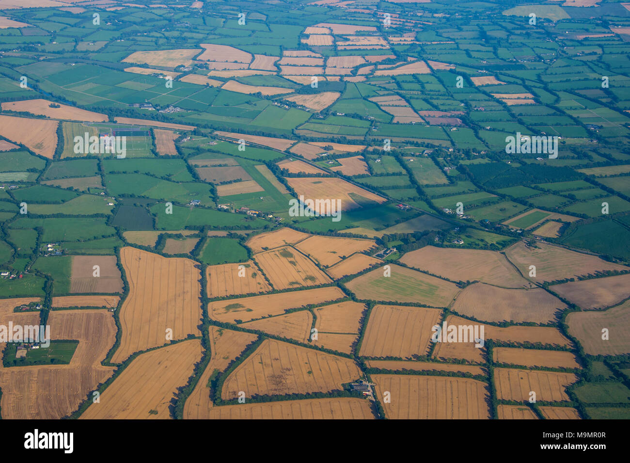 Antenne z.b Feldern rund um Dublin, Irland Stockfotohttps://www.alamy.de/image-license-details/?v=1https://www.alamy.de/antenne-zb-feldern-rund-um-dublin-irland-image178092679.html
RFM9MR0R–Antenne z.b Feldern rund um Dublin, Irland
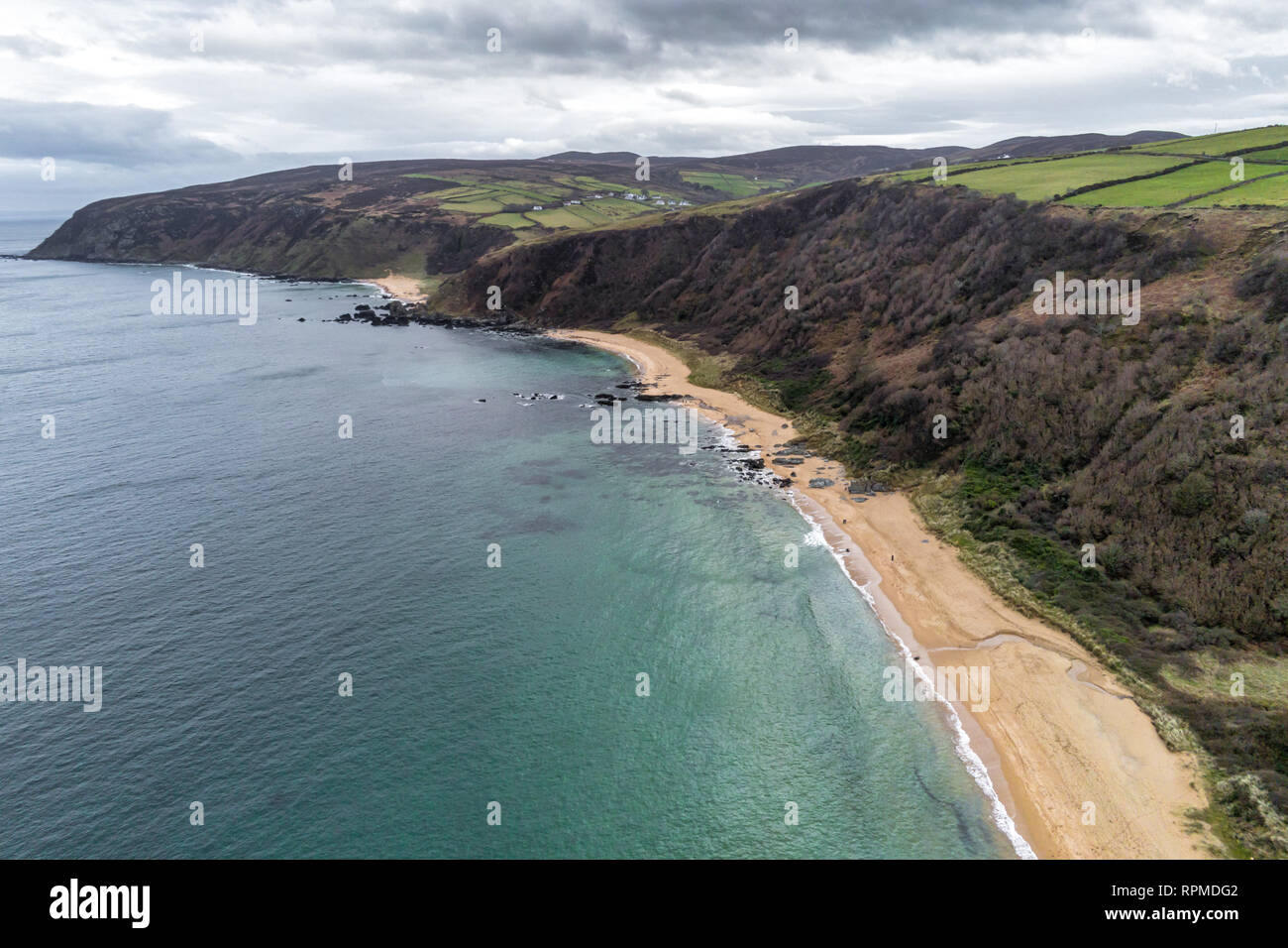 Dies ist eine Luftaufnahme des Kinnageo Strand auf der Halbinsel Inishowen in Donegal Irland. Es zeigt das Kristallklare türkise Wasser der Atlan Stockfotohttps://www.alamy.de/image-license-details/?v=1https://www.alamy.de/dies-ist-eine-luftaufnahme-des-kinnageo-strand-auf-der-halbinsel-inishowen-in-donegal-irland-es-zeigt-das-kristallklare-turkise-wasser-der-atlan-image237706898.html
RFRPMDG2–Dies ist eine Luftaufnahme des Kinnageo Strand auf der Halbinsel Inishowen in Donegal Irland. Es zeigt das Kristallklare türkise Wasser der Atlan
 Farb-Satellitenbild der Republik Irland, mit Maske. Stockfotohttps://www.alamy.de/image-license-details/?v=1https://www.alamy.de/farb-satellitenbild-der-republik-irland-mit-maske-image597465758.html
RM2WM0WJP–Farb-Satellitenbild der Republik Irland, mit Maske.
 Antenne Brummen auf der Nordseite der Stadt Dublin, Irland Stockfotohttps://www.alamy.de/image-license-details/?v=1https://www.alamy.de/antenne-brummen-auf-der-nordseite-der-stadt-dublin-irland-image339784917.html
RM2AMPF3H–Antenne Brummen auf der Nordseite der Stadt Dublin, Irland
 Luftbild von Zoll Strand, Kerry Stockfotohttps://www.alamy.de/image-license-details/?v=1https://www.alamy.de/stockfoto-luftbild-von-zoll-strand-kerry-171253647.html
RMKXH7NK–Luftbild von Zoll Strand, Kerry
 Panorama-Luftdrohne Bild von Croagh Patrick, County Mayo, Irland Stockfotohttps://www.alamy.de/image-license-details/?v=1https://www.alamy.de/panorama-luftdrohne-bild-von-croagh-patrick-county-mayo-irland-image367763932.html
RF2CA92J4–Panorama-Luftdrohne Bild von Croagh Patrick, County Mayo, Irland
 Ballycarbery Castle in Cahersiveen, County Kerry, Irland. Stockfotohttps://www.alamy.de/image-license-details/?v=1https://www.alamy.de/ballycarbery-castle-in-cahersiveen-county-kerry-irland-image402184542.html
RM2EA92DJ–Ballycarbery Castle in Cahersiveen, County Kerry, Irland.
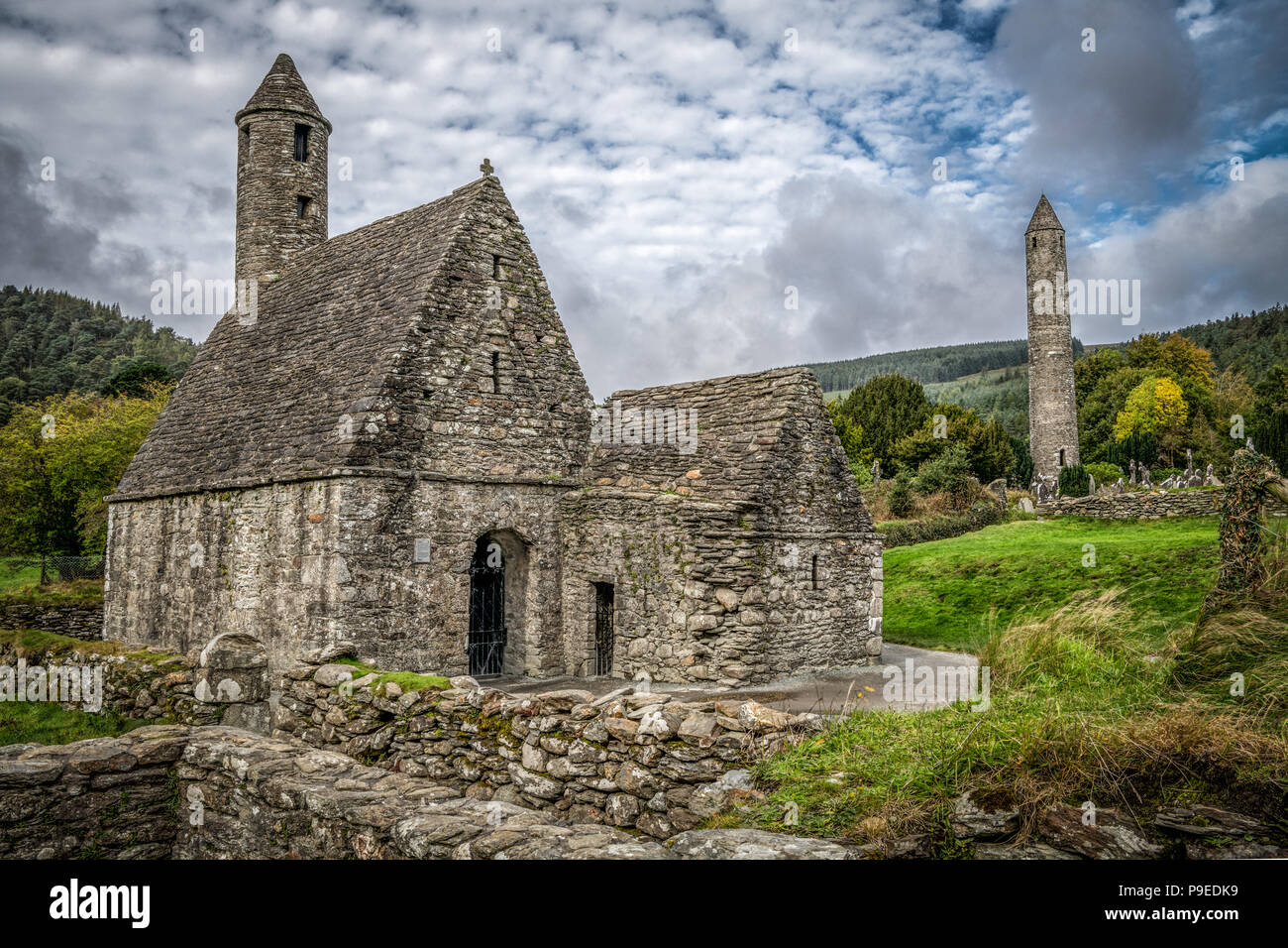 Glendalough Klosteranlage Stockfotohttps://www.alamy.de/image-license-details/?v=1https://www.alamy.de/glendalough-klosteranlage-image212374381.html
RMP9EDK9–Glendalough Klosteranlage
 Antenne Draufsicht Leuchtturm an der Küste von Howth, Dublin Stockfotohttps://www.alamy.de/image-license-details/?v=1https://www.alamy.de/antenne-draufsicht-leuchtturm-an-der-kuste-von-howth-dublin-image261449949.html
RFW5A225–Antenne Draufsicht Leuchtturm an der Küste von Howth, Dublin
 Scrabo Tower in der Nähe von Newtownards in Nordirland Stockfotohttps://www.alamy.de/image-license-details/?v=1https://www.alamy.de/scrabo-tower-in-der-nahe-von-newtownards-in-nordirland-image410819827.html
RF2ETACTK–Scrabo Tower in der Nähe von Newtownards in Nordirland
 N25 Rose Kennedy längste Brücke in Irland Stockfotohttps://www.alamy.de/image-license-details/?v=1https://www.alamy.de/n25-rose-kennedy-langste-brucke-in-irland-image434679520.html
RM2G75A4G–N25 Rose Kennedy längste Brücke in Irland
 Fort Dunree an dunree Kopf in Irland - Luftaufnahmen Stockfotohttps://www.alamy.de/image-license-details/?v=1https://www.alamy.de/fort-dunree-an-dunree-kopf-in-irland-luftaufnahmen-image418777805.html
RF2F98YA5–Fort Dunree an dunree Kopf in Irland - Luftaufnahmen
 Panoramablick auf Derrynane Ogham Stone Beach, an der Ring of Kerry Route, Irland Stockfotohttps://www.alamy.de/image-license-details/?v=1https://www.alamy.de/panoramablick-auf-derrynane-ogham-stone-beach-an-der-ring-of-kerry-route-irland-image369428308.html
RF2CD0WG4–Panoramablick auf Derrynane Ogham Stone Beach, an der Ring of Kerry Route, Irland
 Luftdrohnenfoto der St. Finbarr's Church, Gougane Barra, West ireland Stockfotohttps://www.alamy.de/image-license-details/?v=1https://www.alamy.de/luftdrohnenfoto-der-st-finbarrs-church-gougane-barra-west-ireland-image447352731.html
RF2GYPJY7–Luftdrohnenfoto der St. Finbarr's Church, Gougane Barra, West ireland
 Drohnen-Luftlandschaft des Charles Fort in Kinsale Cork County Irland. Stockfotohttps://www.alamy.de/image-license-details/?v=1https://www.alamy.de/drohnen-luftlandschaft-des-charles-fort-in-kinsale-cork-county-irland-image503238866.html
RF2M6ME8J–Drohnen-Luftlandschaft des Charles Fort in Kinsale Cork County Irland.
 Luftaufnahme der Burg Glinsk mittelalterliches befestigtes Turmhaus in Irland mit symmetrischer Struktur fünf lange hohe Schornsteine auf jeder Seite, County Calway Stockfotohttps://www.alamy.de/image-license-details/?v=1https://www.alamy.de/luftaufnahme-der-burg-glinsk-mittelalterliches-befestigtes-turmhaus-in-irland-mit-symmetrischer-struktur-funf-lange-hohe-schornsteine-auf-jeder-seite-county-calway-image563306886.html
RF2RMCRK2–Luftaufnahme der Burg Glinsk mittelalterliches befestigtes Turmhaus in Irland mit symmetrischer Struktur fünf lange hohe Schornsteine auf jeder Seite, County Calway
 Dalkey, co Dublin / Irland: Luftaufnahme der Insel Dalkey, nach der das nahe gelegene Dorf benannt ist. Unbewohnte Insel lokalisieren Stockfotohttps://www.alamy.de/image-license-details/?v=1https://www.alamy.de/dalkey-co-dublin-irland-luftaufnahme-der-insel-dalkey-nach-der-das-nahe-gelegene-dorf-benannt-ist-unbewohnte-insel-lokalisieren-image543669938.html
RM2PGE8FE–Dalkey, co Dublin / Irland: Luftaufnahme der Insel Dalkey, nach der das nahe gelegene Dorf benannt ist. Unbewohnte Insel lokalisieren
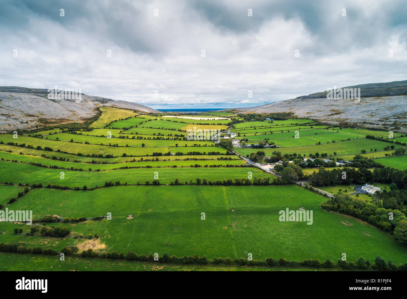 Luftaufnahme des Burren in Irland Stockfotohttps://www.alamy.de/image-license-details/?v=1https://www.alamy.de/luftaufnahme-des-burren-in-irland-image224846920.html
RFR1PJF4–Luftaufnahme des Burren in Irland
 Little Skelig Ireland von Aerial Survey Stockfotohttps://www.alamy.de/image-license-details/?v=1https://www.alamy.de/little-skelig-ireland-von-aerial-survey-image479655762.html
RF2JTA5PX–Little Skelig Ireland von Aerial Survey
 Eine Panorama-Luftaufnahme der Berge der Central Dingle Peninsula in der Grafschaft Kerry von Irland Stockfotohttps://www.alamy.de/image-license-details/?v=1https://www.alamy.de/eine-panorama-luftaufnahme-der-berge-der-central-dingle-peninsula-in-der-grafschaft-kerry-von-irland-image627470770.html
RF2YCRNAA–Eine Panorama-Luftaufnahme der Berge der Central Dingle Peninsula in der Grafschaft Kerry von Irland
 Dies ist eine Luftaufnahme des Kinnageo Strand auf der Halbinsel Inishowen in Donegal Irland. Es zeigt das Kristallklare türkise Wasser der Atlan Stockfotohttps://www.alamy.de/image-license-details/?v=1https://www.alamy.de/dies-ist-eine-luftaufnahme-des-kinnageo-strand-auf-der-halbinsel-inishowen-in-donegal-irland-es-zeigt-das-kristallklare-turkise-wasser-der-atlan-image237706861.html
RFRPMDEN–Dies ist eine Luftaufnahme des Kinnageo Strand auf der Halbinsel Inishowen in Donegal Irland. Es zeigt das Kristallklare türkise Wasser der Atlan
 Farb-Satellitenbild der Republik Irland, mit Grenzen und Maske. Stockfotohttps://www.alamy.de/image-license-details/?v=1https://www.alamy.de/farb-satellitenbild-der-republik-irland-mit-grenzen-und-maske-image597465754.html
RM2WM0WJJ–Farb-Satellitenbild der Republik Irland, mit Grenzen und Maske.
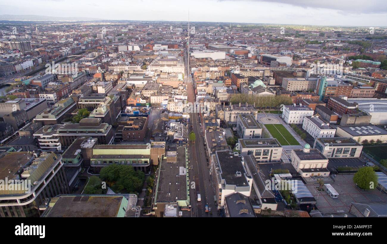 Antenne drone Aussicht auf das Stadtzentrum in Dublin, Irland. Stockfotohttps://www.alamy.de/image-license-details/?v=1https://www.alamy.de/antenne-drone-aussicht-auf-das-stadtzentrum-in-dublin-irland-image339784924.html
RM2AMPF3T–Antenne drone Aussicht auf das Stadtzentrum in Dublin, Irland.
 Pfad teilt Wald in Irland Stockfotohttps://www.alamy.de/image-license-details/?v=1https://www.alamy.de/pfad-teilt-wald-in-irland-image439366654.html
RF2GEPTJ6–Pfad teilt Wald in Irland
 Panorama-Luftdrohne Bild von Croagh Patrick, County Mayo, Irland Stockfotohttps://www.alamy.de/image-license-details/?v=1https://www.alamy.de/panorama-luftdrohne-bild-von-croagh-patrick-county-mayo-irland-image367763870.html
RF2CA92FX–Panorama-Luftdrohne Bild von Croagh Patrick, County Mayo, Irland
 Moll's Gap entlang des Ring of Kerry, County Kerry, Irland. Stockfotohttps://www.alamy.de/image-license-details/?v=1https://www.alamy.de/molls-gap-entlang-des-ring-of-kerry-county-kerry-irland-image402184461.html
RF2EA92AN–Moll's Gap entlang des Ring of Kerry, County Kerry, Irland.
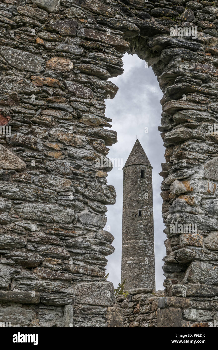 Glendalough Klosteranlage Stockfotohttps://www.alamy.de/image-license-details/?v=1https://www.alamy.de/glendalough-klosteranlage-image212374344.html
RMP9EDJ0–Glendalough Klosteranlage
 Bull Island Gehweg Antenne Top View Stockfotohttps://www.alamy.de/image-license-details/?v=1https://www.alamy.de/bull-island-gehweg-antenne-top-view-image261599042.html
RFW5GT6X–Bull Island Gehweg Antenne Top View
 Scrabo Tower in der Nähe von Newtownards in Nordirland Stockfotohttps://www.alamy.de/image-license-details/?v=1https://www.alamy.de/scrabo-tower-in-der-nahe-von-newtownards-in-nordirland-image410819833.html
RF2ETACTW–Scrabo Tower in der Nähe von Newtownards in Nordirland
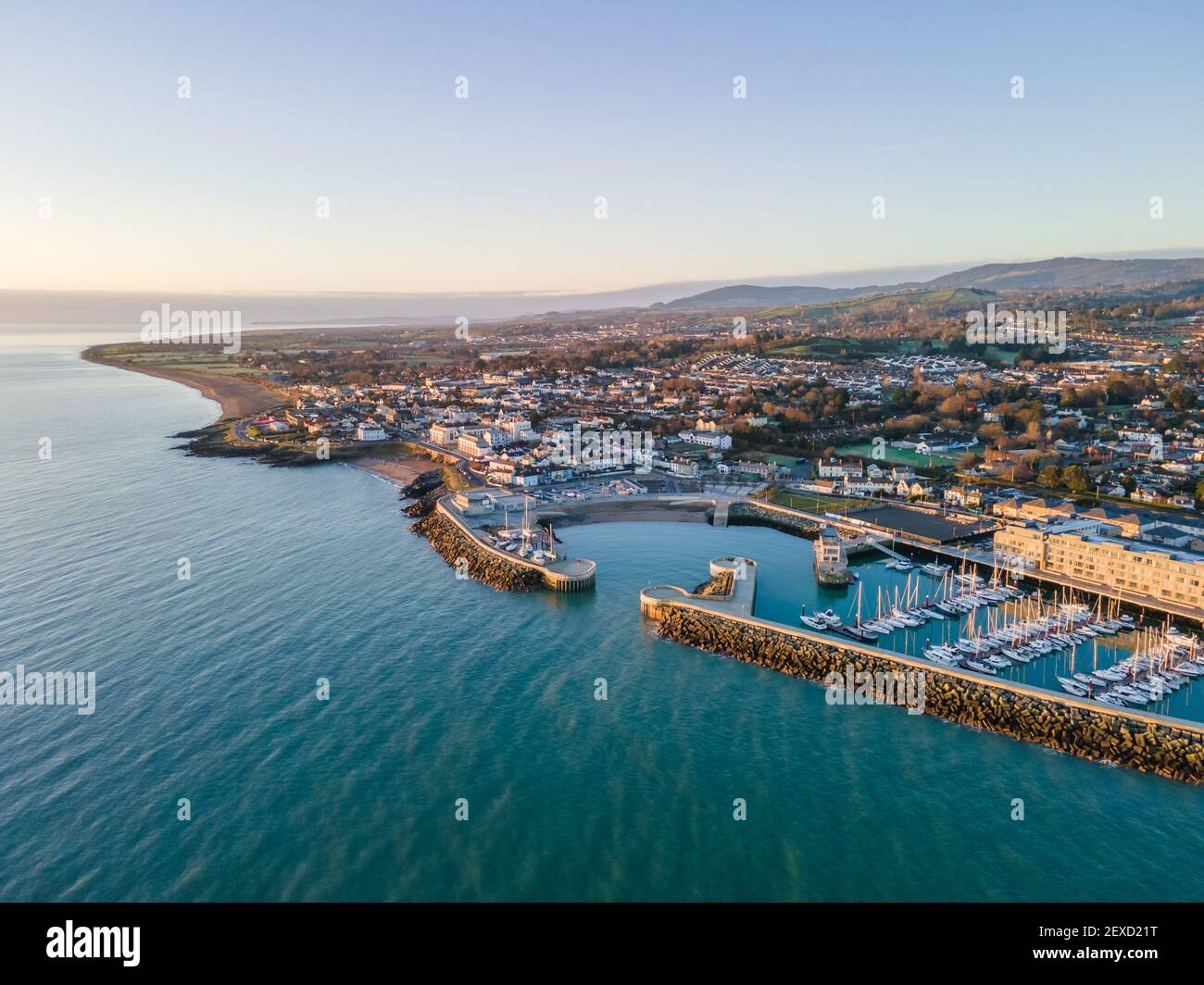 Lufthafen Greystones in Irland Stockfotohttps://www.alamy.de/image-license-details/?v=1https://www.alamy.de/lufthafen-greystones-in-irland-image412106516.html
RM2EXD21T–Lufthafen Greystones in Irland
 Die Seen von Glendalough in den Wicklow Mountains in Irland - Luftaufnahmen Stockfotohttps://www.alamy.de/image-license-details/?v=1https://www.alamy.de/die-seen-von-glendalough-in-den-wicklow-mountains-in-irland-luftaufnahmen-image418780114.html
RF2F9928J–Die Seen von Glendalough in den Wicklow Mountains in Irland - Luftaufnahmen
 Panoramablick auf Derrynane Ogham Stone Beach, an der Ring of Kerry Route, Irland Stockfotohttps://www.alamy.de/image-license-details/?v=1https://www.alamy.de/panoramablick-auf-derrynane-ogham-stone-beach-an-der-ring-of-kerry-route-irland-image369428303.html
RF2CD0WFY–Panoramablick auf Derrynane Ogham Stone Beach, an der Ring of Kerry Route, Irland
 Drone Luftaufnahme der Ballylickey Dorf Küste im Atlantischen Ozean. Irland Stockfotohttps://www.alamy.de/image-license-details/?v=1https://www.alamy.de/drone-luftaufnahme-der-ballylickey-dorf-kuste-im-atlantischen-ozean-irland-image452882793.html
RF2H8PGHD–Drone Luftaufnahme der Ballylickey Dorf Küste im Atlantischen Ozean. Irland
 Drohnen-Luftlandschaft des Charles Fort in Kinsale Cork County Irland. Stockfotohttps://www.alamy.de/image-license-details/?v=1https://www.alamy.de/drohnen-luftlandschaft-des-charles-fort-in-kinsale-cork-county-irland-image503238870.html
RF2M6ME8P–Drohnen-Luftlandschaft des Charles Fort in Kinsale Cork County Irland.
 Luftaufnahme der Burg Glinsk mittelalterliches befestigtes Turmhaus in Irland mit symmetrischer Struktur fünf lange hohe Schornsteine auf jeder Seite, County Calway Stockfotohttps://www.alamy.de/image-license-details/?v=1https://www.alamy.de/luftaufnahme-der-burg-glinsk-mittelalterliches-befestigtes-turmhaus-in-irland-mit-symmetrischer-struktur-funf-lange-hohe-schornsteine-auf-jeder-seite-county-calway-image563306904.html
RF2RMCRKM–Luftaufnahme der Burg Glinsk mittelalterliches befestigtes Turmhaus in Irland mit symmetrischer Struktur fünf lange hohe Schornsteine auf jeder Seite, County Calway
 Dalkey, co Dublin / Irland: Luftaufnahme der Insel Dalkey, nach der das nahe gelegene Dorf benannt ist. Unbewohnte Insel lokalisieren Stockfotohttps://www.alamy.de/image-license-details/?v=1https://www.alamy.de/dalkey-co-dublin-irland-luftaufnahme-der-insel-dalkey-nach-der-das-nahe-gelegene-dorf-benannt-ist-unbewohnte-insel-lokalisieren-image543669873.html
RM2PGE8D5–Dalkey, co Dublin / Irland: Luftaufnahme der Insel Dalkey, nach der das nahe gelegene Dorf benannt ist. Unbewohnte Insel lokalisieren
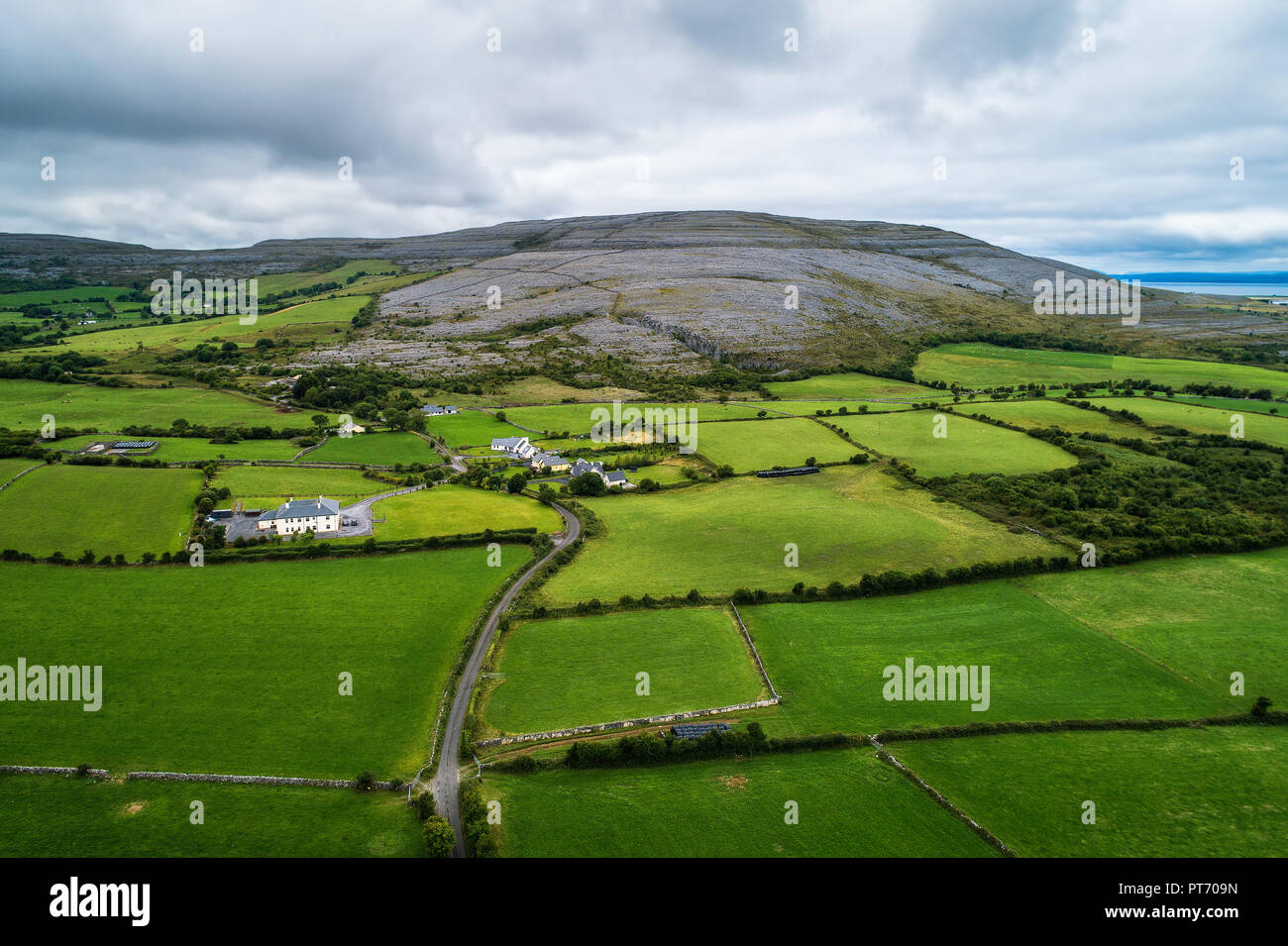 Luftaufnahme des Burren in Irland Stockfotohttps://www.alamy.de/image-license-details/?v=1https://www.alamy.de/luftaufnahme-des-burren-in-irland-image221430097.html
RFPT709N–Luftaufnahme des Burren in Irland
 Ackerland in der Grafschaft Cork Irland Stockfotohttps://www.alamy.de/image-license-details/?v=1https://www.alamy.de/ackerland-in-der-grafschaft-cork-irland-image479654894.html
RF2JTA4KX–Ackerland in der Grafschaft Cork Irland
 Panoramablick auf Slea Head und die Dingle-Halbinsel in der Grafschaft Kerry im Westen Irlands Stockfotohttps://www.alamy.de/image-license-details/?v=1https://www.alamy.de/panoramablick-auf-slea-head-und-die-dingle-halbinsel-in-der-grafschaft-kerry-im-westen-irlands-image627469466.html
RF2YCRKKP–Panoramablick auf Slea Head und die Dingle-Halbinsel in der Grafschaft Kerry im Westen Irlands
 Dies ist eine Luftaufnahme des Kinnageo Strand auf der Halbinsel Inishowen in Donegal Irland. Es zeigt das Kristallklare türkise Wasser der Atlan Stockfotohttps://www.alamy.de/image-license-details/?v=1https://www.alamy.de/dies-ist-eine-luftaufnahme-des-kinnageo-strand-auf-der-halbinsel-inishowen-in-donegal-irland-es-zeigt-das-kristallklare-turkise-wasser-der-atlan-image237706872.html
RFRPMDF4–Dies ist eine Luftaufnahme des Kinnageo Strand auf der Halbinsel Inishowen in Donegal Irland. Es zeigt das Kristallklare türkise Wasser der Atlan
 Farb-Satellitenbild der Republik Irland und Nordirland, mit Grenzen. Stockfotohttps://www.alamy.de/image-license-details/?v=1https://www.alamy.de/farb-satellitenbild-der-republik-irland-und-nordirland-mit-grenzen-image597465757.html
RM2WM0WJN–Farb-Satellitenbild der Republik Irland und Nordirland, mit Grenzen.
 Drone Luftaufnahme des Flusses Liffey und die Docklands von Dublin in Irland. Stockfotohttps://www.alamy.de/image-license-details/?v=1https://www.alamy.de/drone-luftaufnahme-des-flusses-liffey-und-die-docklands-von-dublin-in-irland-image339784921.html
RM2AMPF3N–Drone Luftaufnahme des Flusses Liffey und die Docklands von Dublin in Irland.
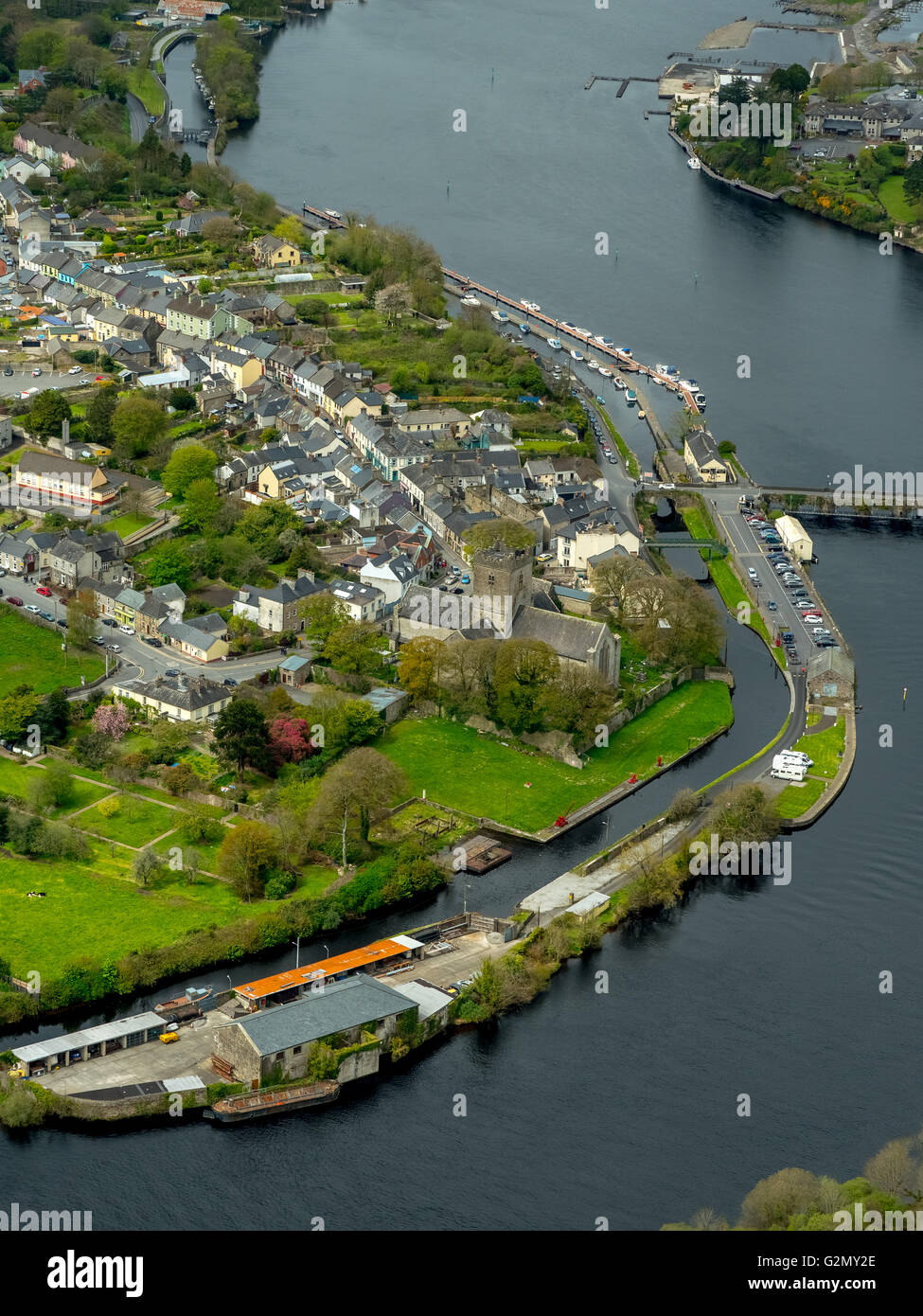 Antenne, Kirche von Killaloe Co.Clare und in Richtung Ballina Co Tipperary Pn Fluss Shannon, COUNTY CLARE, Tipperary, Irland, Europa, Stockfotohttps://www.alamy.de/image-license-details/?v=1https://www.alamy.de/stockfoto-antenne-kirche-von-killaloe-coclare-und-in-richtung-ballina-co-tipperary-pn-fluss-shannon-county-clare-tipperary-irland-europa-104951798.html
RMG2MY2E–Antenne, Kirche von Killaloe Co.Clare und in Richtung Ballina Co Tipperary Pn Fluss Shannon, COUNTY CLARE, Tipperary, Irland, Europa,
 Panorama-Luftdrohne Bild von Croagh Patrick, County Mayo, Irland Stockfotohttps://www.alamy.de/image-license-details/?v=1https://www.alamy.de/panorama-luftdrohne-bild-von-croagh-patrick-county-mayo-irland-image367763822.html
RF2CA92E6–Panorama-Luftdrohne Bild von Croagh Patrick, County Mayo, Irland
 Lough Boora Discovery Parklands in der Grafschaft Offaly, Republik Irland. Stockfotohttps://www.alamy.de/image-license-details/?v=1https://www.alamy.de/lough-boora-discovery-parklands-in-der-grafschaft-offaly-republik-irland-image402184535.html
RF2EA92DB–Lough Boora Discovery Parklands in der Grafschaft Offaly, Republik Irland.
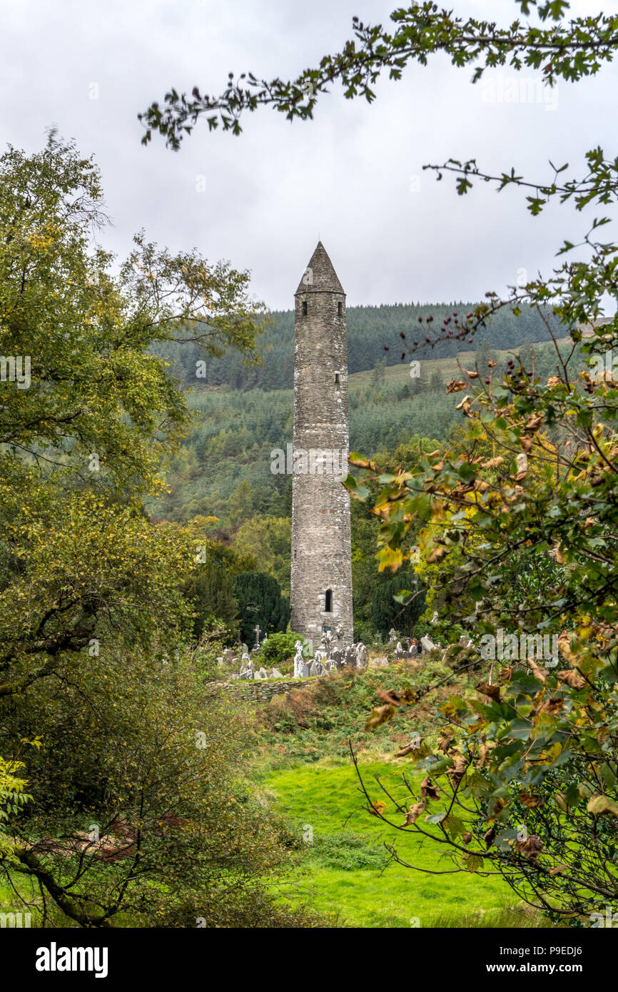 Glendalough Klosteranlage Stockfotohttps://www.alamy.de/image-license-details/?v=1https://www.alamy.de/glendalough-klosteranlage-image212374350.html
RMP9EDJ6–Glendalough Klosteranlage
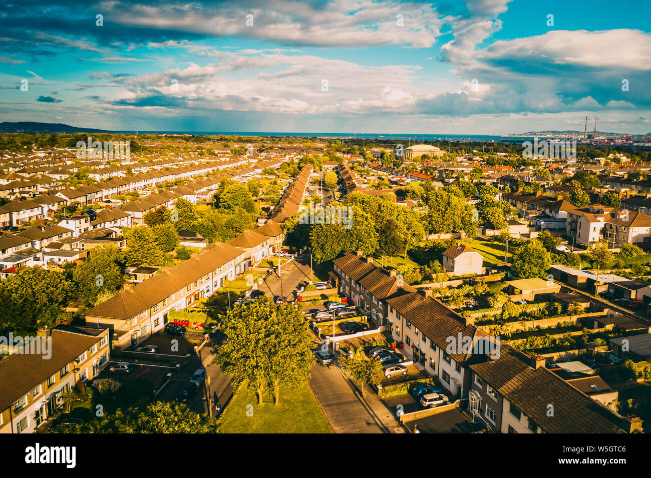 Dublin Luftaufnahme von Beaumont Village Stockfotohttps://www.alamy.de/image-license-details/?v=1https://www.alamy.de/dublin-luftaufnahme-von-beaumont-village-image261599190.html
RFW5GTC6–Dublin Luftaufnahme von Beaumont Village
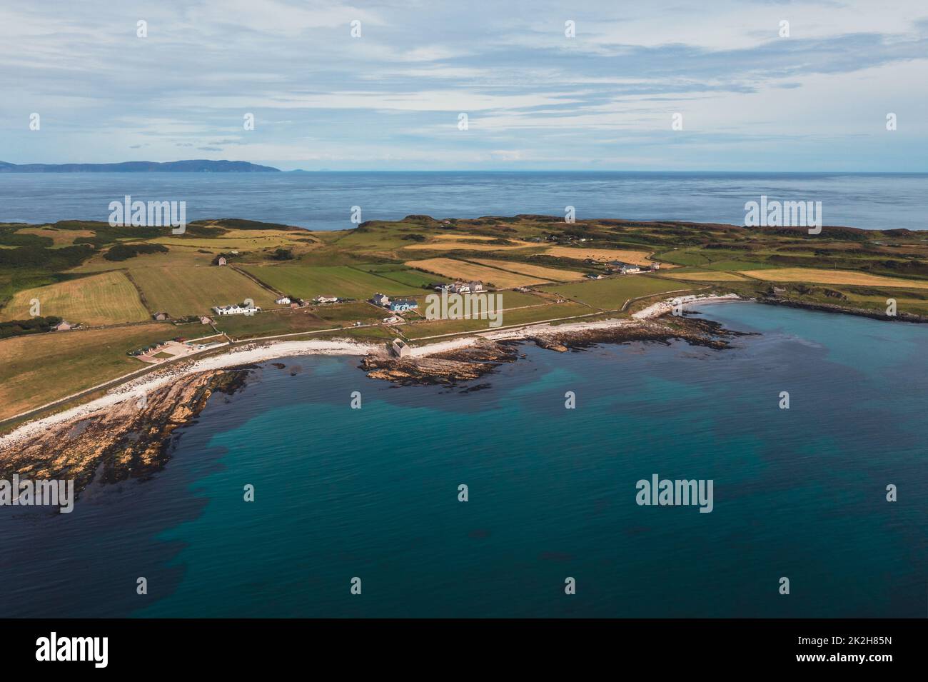 Rathlin Island vor der Küste von Nordirland Stockfotohttps://www.alamy.de/image-license-details/?v=1https://www.alamy.de/rathlin-island-vor-der-kuste-von-nordirland-image483499233.html
RF2K2H85N–Rathlin Island vor der Küste von Nordirland
 Luftaufnahme der Klippen von Horn Head am wilden Atlantik weg in Donegal - Irland. Stockfotohttps://www.alamy.de/image-license-details/?v=1https://www.alamy.de/luftaufnahme-der-klippen-von-horn-head-am-wilden-atlantik-weg-in-donegal-irland-image244080544.html
RFT52R68–Luftaufnahme der Klippen von Horn Head am wilden Atlantik weg in Donegal - Irland.
 Alte monasty in Glendalough Wicklow Mountains von Irland - Luftaufnahmen Stockfotohttps://www.alamy.de/image-license-details/?v=1https://www.alamy.de/alte-monasty-in-glendalough-wicklow-mountains-von-irland-luftaufnahmen-image418780122.html
RF2F9928X–Alte monasty in Glendalough Wicklow Mountains von Irland - Luftaufnahmen
 Luftaufnahme der Küste von Dunfanaghy von der Drohne. Donegal, Irland, Europa Stockfotohttps://www.alamy.de/image-license-details/?v=1https://www.alamy.de/luftaufnahme-der-kuste-von-dunfanaghy-von-der-drohne-donegal-irland-europa-image573590065.html
RM2T957YD–Luftaufnahme der Küste von Dunfanaghy von der Drohne. Donegal, Irland, Europa
 Dunluce Castle in Nordirland - ein berühmter Film Lage - Luftaufnahmen Stockfotohttps://www.alamy.de/image-license-details/?v=1https://www.alamy.de/dunluce-castle-in-nordirland-ein-beruhmter-film-lage-luftaufnahmen-image418777824.html
RF2F98YAT–Dunluce Castle in Nordirland - ein berühmter Film Lage - Luftaufnahmen
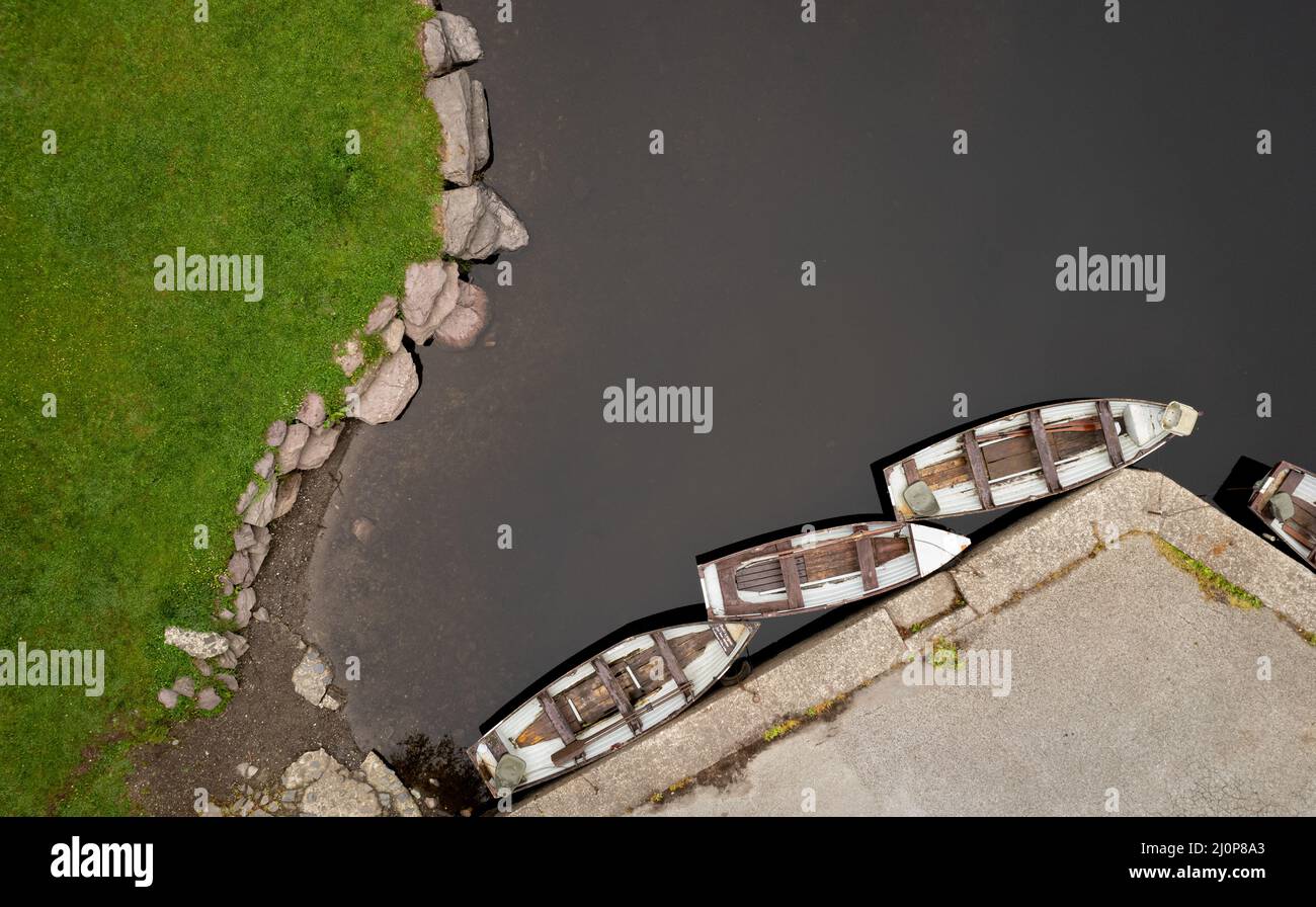 Drohne Luftbild eines Flusses mit Boot auf der Flussseite festgemacht. Keimeens Ireland County Stockfotohttps://www.alamy.de/image-license-details/?v=1https://www.alamy.de/drohne-luftbild-eines-flusses-mit-boot-auf-der-flussseite-festgemacht-keimeens-ireland-county-image465169435.html
RF2J0P8A3–Drohne Luftbild eines Flusses mit Boot auf der Flussseite festgemacht. Keimeens Ireland County
 Drohne Luftbild eines Flusses mit Boot auf der Flussseite festgemacht. Keimeens Irland Stockfotohttps://www.alamy.de/image-license-details/?v=1https://www.alamy.de/drohne-luftbild-eines-flusses-mit-boot-auf-der-flussseite-festgemacht-keimeens-irland-image452882967.html
RF2H8PGRK–Drohne Luftbild eines Flusses mit Boot auf der Flussseite festgemacht. Keimeens Irland
 Luftaufnahme der Burg Glinsk mittelalterliches befestigtes Turmhaus in Irland mit symmetrischer Struktur fünf lange hohe Schornsteine auf jeder Seite, County Calway Stockfotohttps://www.alamy.de/image-license-details/?v=1https://www.alamy.de/luftaufnahme-der-burg-glinsk-mittelalterliches-befestigtes-turmhaus-in-irland-mit-symmetrischer-struktur-funf-lange-hohe-schornsteine-auf-jeder-seite-county-calway-image563306911.html
RF2RMCRKY–Luftaufnahme der Burg Glinsk mittelalterliches befestigtes Turmhaus in Irland mit symmetrischer Struktur fünf lange hohe Schornsteine auf jeder Seite, County Calway
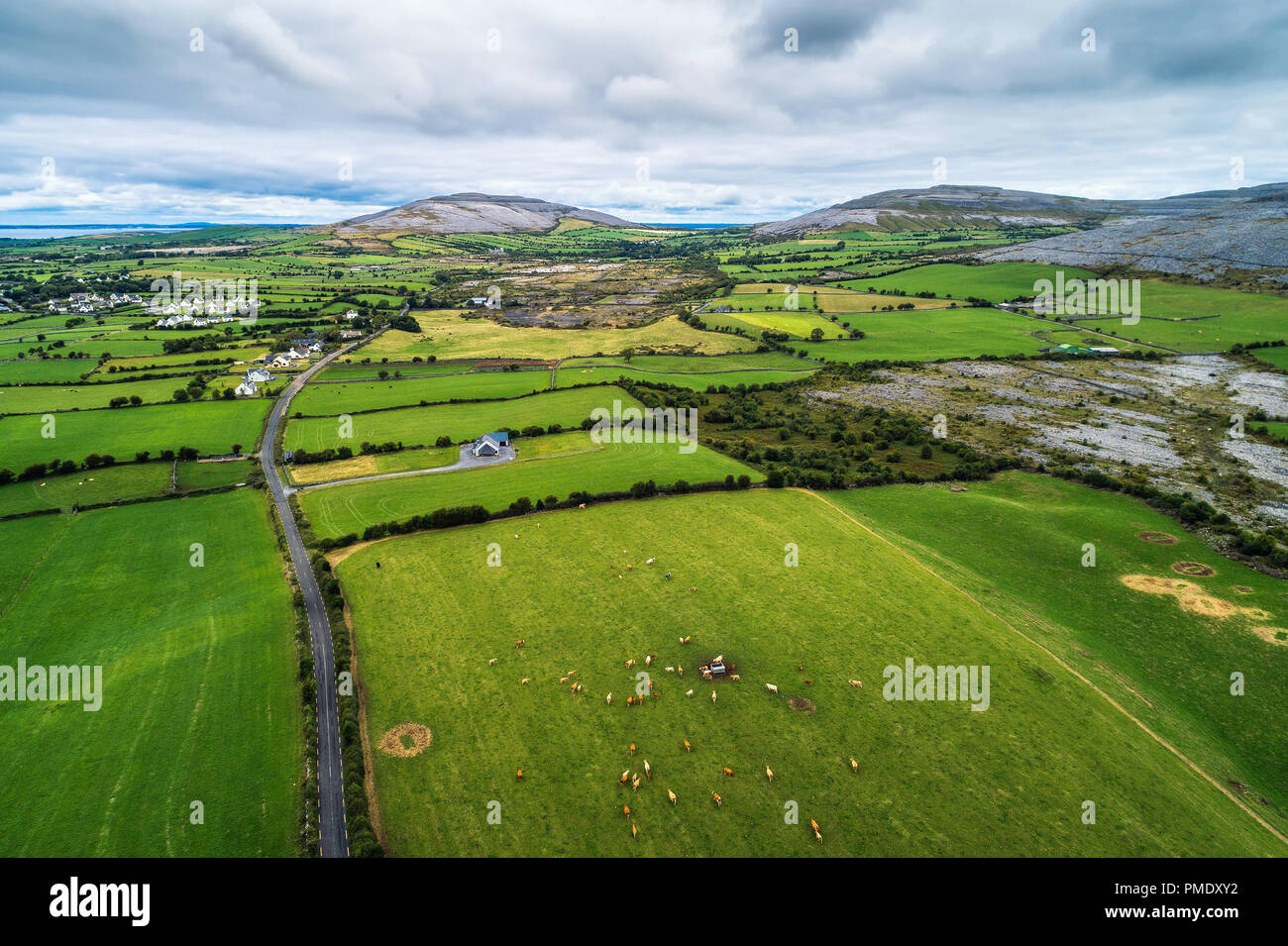 Luftaufnahme des Burren in Irland. Der Burren ist eine Region von Vergletscherten Karstlandschaft dominiert und es ist im Nordwesten der Grafschaft Clare. Stockfotohttps://www.alamy.de/image-license-details/?v=1https://www.alamy.de/luftaufnahme-des-burren-in-irland-der-burren-ist-eine-region-von-vergletscherten-karstlandschaft-dominiert-und-es-ist-im-nordwesten-der-grafschaft-clare-image219124054.html
RFPMDXY2–Luftaufnahme des Burren in Irland. Der Burren ist eine Region von Vergletscherten Karstlandschaft dominiert und es ist im Nordwesten der Grafschaft Clare.
 Little Skegg Irland Stockfotohttps://www.alamy.de/image-license-details/?v=1https://www.alamy.de/little-skegg-irland-image479655973.html
RF2JTA62D–Little Skegg Irland
 Drohnen-Luftlandschaft des Charles Fort in Kinsale Cork County Irland. Irische Burgen Stockfotohttps://www.alamy.de/image-license-details/?v=1https://www.alamy.de/drohnen-luftlandschaft-des-charles-fort-in-kinsale-cork-county-irland-irische-burgen-image629020373.html
RF2YFA9W9–Drohnen-Luftlandschaft des Charles Fort in Kinsale Cork County Irland. Irische Burgen
 Dies ist eine Luftaufnahme des Kinnageo Strand auf der Halbinsel Inishowen in Donegal Irland. Es zeigt das Kristallklare türkise Wasser der Atlan Stockfotohttps://www.alamy.de/image-license-details/?v=1https://www.alamy.de/dies-ist-eine-luftaufnahme-des-kinnageo-strand-auf-der-halbinsel-inishowen-in-donegal-irland-es-zeigt-das-kristallklare-turkise-wasser-der-atlan-image237706871.html
RFRPMDF3–Dies ist eine Luftaufnahme des Kinnageo Strand auf der Halbinsel Inishowen in Donegal Irland. Es zeigt das Kristallklare türkise Wasser der Atlan
 Farbe Satellitenbild von Irland. Dieses Bild wurde aus Daten von Sentinel-2 & Landsat 8 Satelliten erfassten zusammengestellt. Stockfotohttps://www.alamy.de/image-license-details/?v=1https://www.alamy.de/farbe-satellitenbild-von-irland-dieses-bild-wurde-aus-daten-von-sentinel-2-landsat-8-satelliten-erfassten-zusammengestellt-image265209419.html
RMWBD98Y–Farbe Satellitenbild von Irland. Dieses Bild wurde aus Daten von Sentinel-2 & Landsat 8 Satelliten erfassten zusammengestellt.
 Luftdronblick auf Sir John Rogersons Quay am Ufer des Flusses Liffey in dublin, Irland. Stockfotohttps://www.alamy.de/image-license-details/?v=1https://www.alamy.de/luftdronblick-auf-sir-john-rogersons-quay-am-ufer-des-flusses-liffey-in-dublin-irland-image339784907.html
RM2AMPF37–Luftdronblick auf Sir John Rogersons Quay am Ufer des Flusses Liffey in dublin, Irland.