Kochende mudpools Stockfotos & Bilder
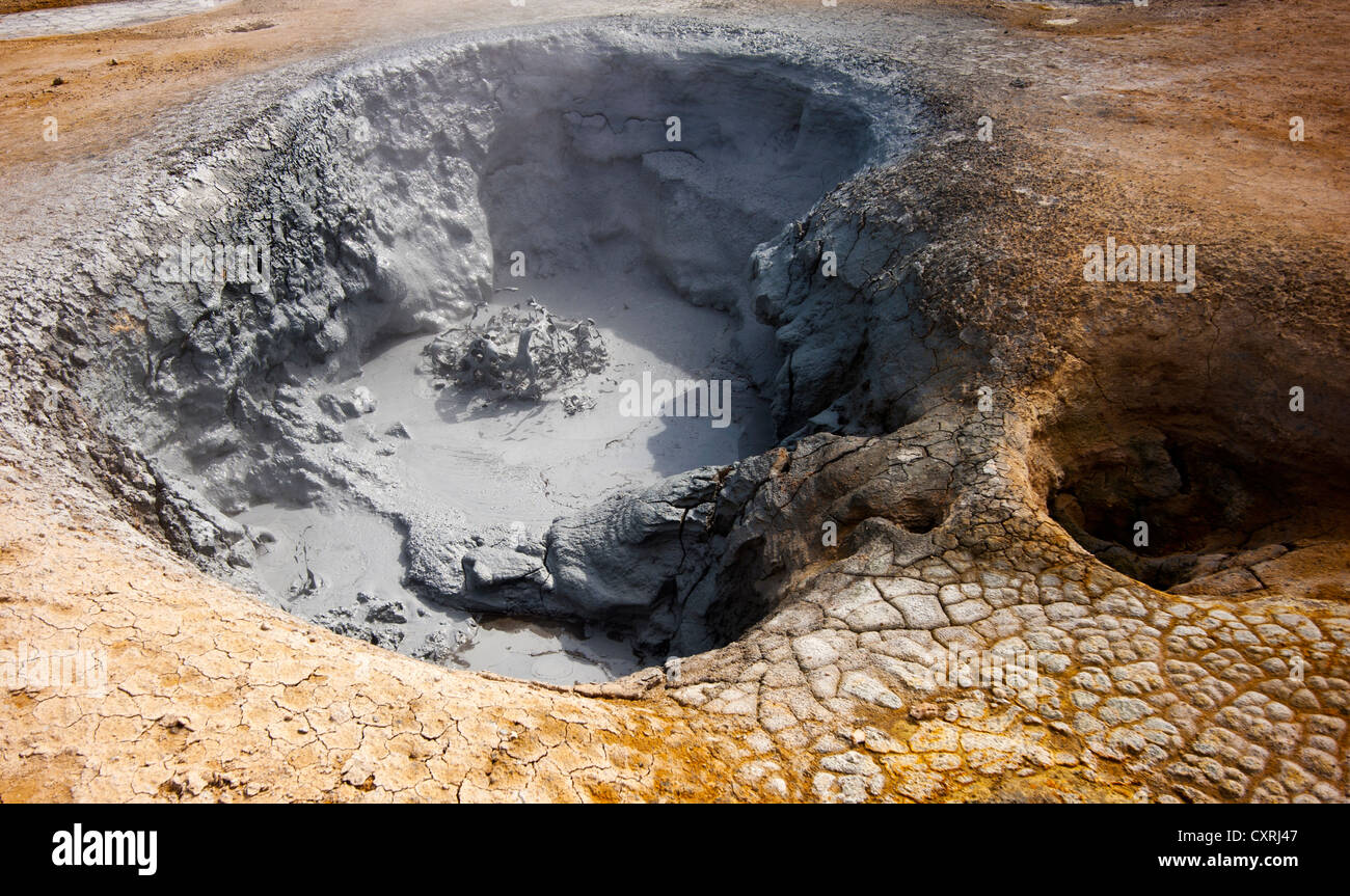 Kochende Mudpools Geysir, Namafjall Hverir Island Stockfotohttps://www.alamy.de/image-license-details/?v=1https://www.alamy.de/stockfoto-kochende-mudpools-geysir-namafjall-hverir-island-50920919.html
RMCXRJ47–Kochende Mudpools Geysir, Namafjall Hverir Island
 Kochende Schlammbecken / Schlammbecken bei Hverir, Geothermie-Gebiet in der Nähe von Námafjall, Norðurland eystra / Nordurland eystra, Island Stockfotohttps://www.alamy.de/image-license-details/?v=1https://www.alamy.de/stockfoto-kochende-schlammbecken-schlammbecken-bei-hverir-geothermie-gebiet-in-der-nahe-von-nmafjall-norurland-eystra-nordurland-eystra-island-165160530.html
RMKGKKXA–Kochende Schlammbecken / Schlammbecken bei Hverir, Geothermie-Gebiet in der Nähe von Námafjall, Norðurland eystra / Nordurland eystra, Island
 Sieden Mudpools am Namafjall Hverir - Myvatn Region North Central Island Stockfotohttps://www.alamy.de/image-license-details/?v=1https://www.alamy.de/stockfoto-sieden-mudpools-am-namafjall-hverir-myvatn-region-north-central-island-72132951.html
RME59X8R–Sieden Mudpools am Namafjall Hverir - Myvatn Region North Central Island
 Luftaufnahme des geothermischen Gebiets Myvatn Stockfotohttps://www.alamy.de/image-license-details/?v=1https://www.alamy.de/luftaufnahme-des-geothermischen-gebiets-myvatn-image466181815.html
RF2J2CBJF–Luftaufnahme des geothermischen Gebiets Myvatn
 Dampfkegel in Hverir Geothermie-Gebiet mit kochenden Schlammbecken und dampfenden Fumarolen in Island Lage: Geothermie-Gebiet Hverir, Region Myvatn, Nort Stockfotohttps://www.alamy.de/image-license-details/?v=1https://www.alamy.de/dampfkegel-in-hverir-geothermie-gebiet-mit-kochenden-schlammbecken-und-dampfenden-fumarolen-in-island-lage-geothermie-gebiet-hverir-region-myvatn-nort-image366192564.html
RF2C7NE9T–Dampfkegel in Hverir Geothermie-Gebiet mit kochenden Schlammbecken und dampfenden Fumarolen in Island Lage: Geothermie-Gebiet Hverir, Region Myvatn, Nort
 Luftaufnahme des geothermischen Gebiets Myvatn Stockfotohttps://www.alamy.de/image-license-details/?v=1https://www.alamy.de/luftaufnahme-des-geothermischen-gebiets-myvatn-image466182347.html
RF2J2CC9F–Luftaufnahme des geothermischen Gebiets Myvatn
 Dampfkegel in Hverir Geothermie-Gebiet mit kochenden Schlammbecken und dampfenden Fumarolen in Island Lage: Geothermie-Gebiet Hverir, Region Myvatn, Nort Stockfotohttps://www.alamy.de/image-license-details/?v=1https://www.alamy.de/dampfkegel-in-hverir-geothermie-gebiet-mit-kochenden-schlammbecken-und-dampfenden-fumarolen-in-island-lage-geothermie-gebiet-hverir-region-myvatn-nort-image366263842.html
RF2C7TN7E–Dampfkegel in Hverir Geothermie-Gebiet mit kochenden Schlammbecken und dampfenden Fumarolen in Island Lage: Geothermie-Gebiet Hverir, Region Myvatn, Nort
 Sieden Mudpools geothermische Gebiet auf Reykjanes Halbinsel, in der Nähe von Keflavik, Island, Polarregionen Stockfotohttps://www.alamy.de/image-license-details/?v=1https://www.alamy.de/stockfoto-sieden-mudpools-geothermische-gebiet-auf-reykjanes-halbinsel-in-der-nahe-von-keflavik-island-polarregionen-33316363.html
RMBX5KA3–Sieden Mudpools geothermische Gebiet auf Reykjanes Halbinsel, in der Nähe von Keflavik, Island, Polarregionen
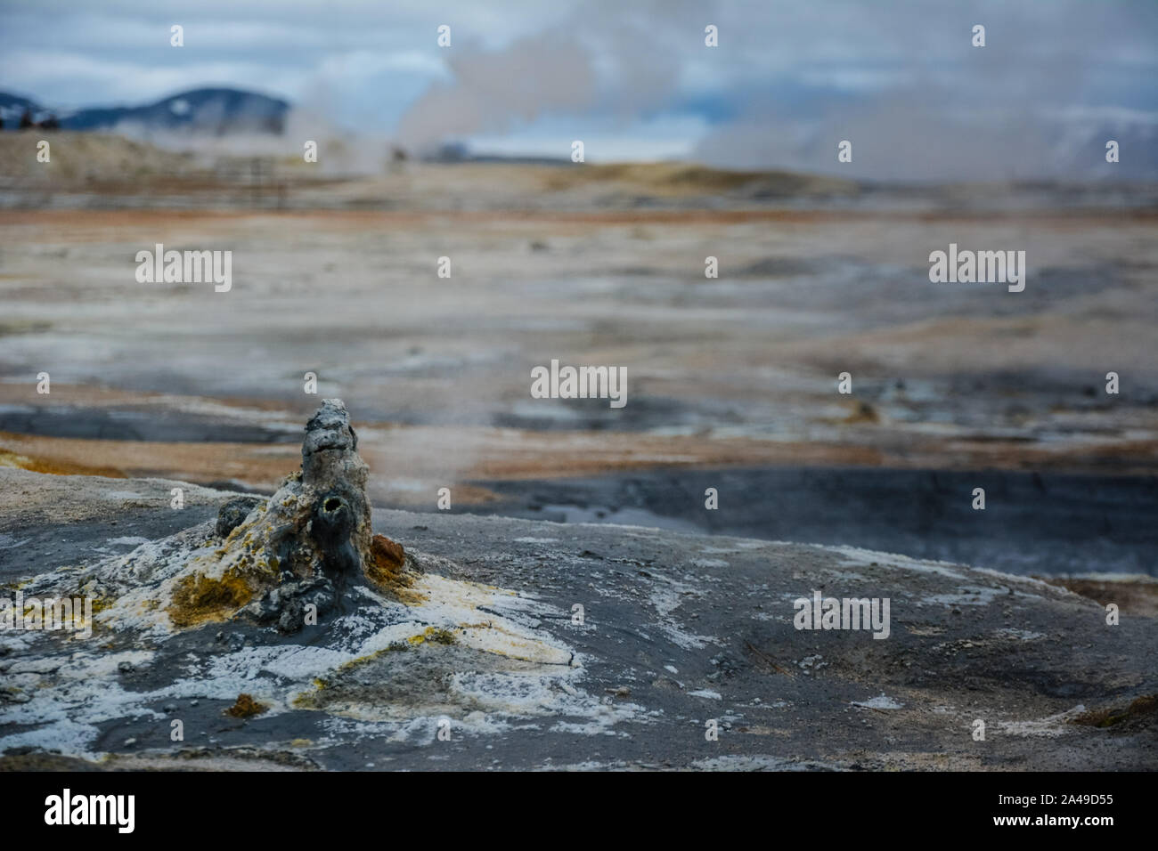 Kegel in Hverir geothermale Region mit kochendem mudpools und dampfende Fumarolen in Island im Sommer. Myvatn Region, nördlich von Island. Stockfotohttps://www.alamy.de/image-license-details/?v=1https://www.alamy.de/kegel-in-hverir-geothermale-region-mit-kochendem-mudpools-und-dampfende-fumarolen-in-island-im-sommer-myvatn-region-nordlich-von-island-image329663521.html
RF2A49D55–Kegel in Hverir geothermale Region mit kochendem mudpools und dampfende Fumarolen in Island im Sommer. Myvatn Region, nördlich von Island.
 Hverarondor Hverir geothermische Gebiet in Island Stockfotohttps://www.alamy.de/image-license-details/?v=1https://www.alamy.de/stockfoto-hverarondor-hverir-geothermische-gebiet-in-island-122949204.html
RMH40PY0–Hverarondor Hverir geothermische Gebiet in Island
 Nesjavellir Geothermie-Anlagen in Island. Geothermische Gegend mit kochenden Schlammbecken und dampfenden Fumarolen in Island Stockfotohttps://www.alamy.de/image-license-details/?v=1https://www.alamy.de/nesjavellir-geothermie-anlagen-in-island-geothermische-gegend-mit-kochenden-schlammbecken-und-dampfenden-fumarolen-in-island-image365804038.html
RF2C73PNX–Nesjavellir Geothermie-Anlagen in Island. Geothermische Gegend mit kochenden Schlammbecken und dampfenden Fumarolen in Island
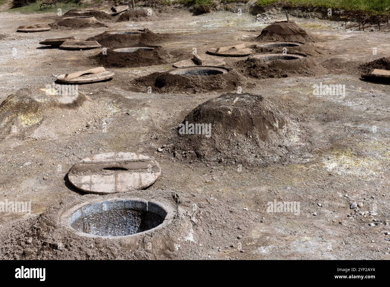 Das vulkanische Herz von São Miguel liegt in der Nähe des Dorfes Furnas, wo dampfende Fumarolen und sprudelnde Schlammtöpfe, die lokal als caldeiras bekannt sind, absteigen Stockfotohttps://www.alamy.de/image-license-details/?v=1https://www.alamy.de/das-vulkanische-herz-von-so-miguel-liegt-in-der-nahe-des-dorfes-furnas-wo-dampfende-fumarolen-und-sprudelnde-schlammtopfe-die-lokal-als-caldeiras-bekannt-sind-absteigen-image628845592.html
RF2YF2AY4–Das vulkanische Herz von São Miguel liegt in der Nähe des Dorfes Furnas, wo dampfende Fumarolen und sprudelnde Schlammtöpfe, die lokal als caldeiras bekannt sind, absteigen
 Geothermische Gebiet Hverir, Island Stockfotohttps://www.alamy.de/image-license-details/?v=1https://www.alamy.de/stockfoto-geothermische-gebiet-hverir-island-85455571.html
RMEY0RCK–Geothermische Gebiet Hverir, Island
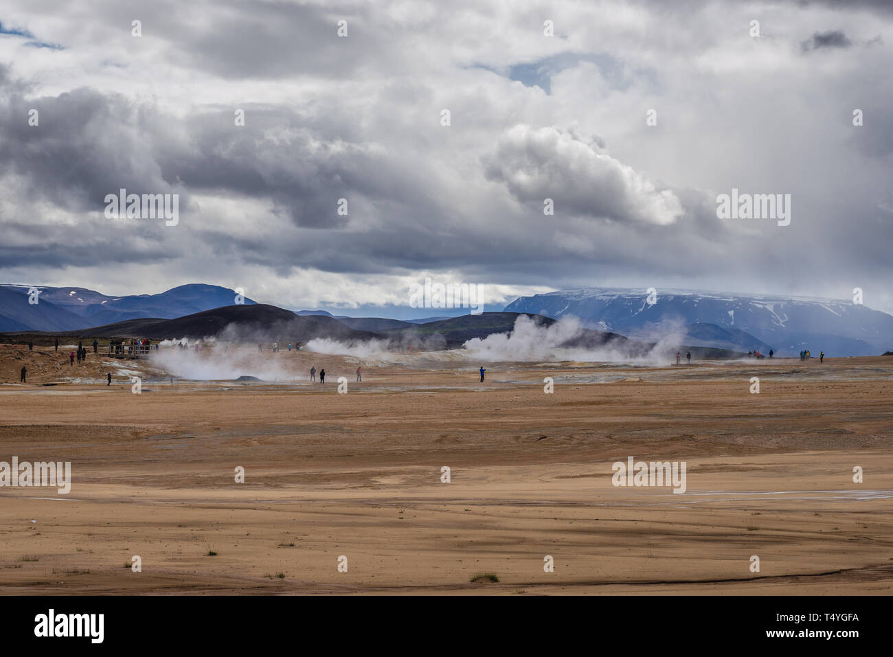 Hverir kochender Schlamm Gebiet namens auch Hverarond in der Nähe von reykjahlid Stadt im Norden von Island Stockfotohttps://www.alamy.de/image-license-details/?v=1https://www.alamy.de/hverir-kochender-schlamm-gebiet-namens-auch-hverarond-in-der-nahe-von-reykjahlid-stadt-im-norden-von-island-image244009454.html
RMT4YGFA–Hverir kochender Schlamm Gebiet namens auch Hverarond in der Nähe von reykjahlid Stadt im Norden von Island
 Touristen, schauen Sie in der Ferne in eine kochende Mudpot am Námafjall Geothermie Berggebiet, in der Nähe von Akureyri, Nordisland. Stockfotohttps://www.alamy.de/image-license-details/?v=1https://www.alamy.de/stockfoto-touristen-schauen-sie-in-der-ferne-in-eine-kochende-mudpot-am-nmafjall-geothermie-berggebiet-in-der-nahe-von-akureyri-nordisland-21062327.html
RMB67D5Y–Touristen, schauen Sie in der Ferne in eine kochende Mudpot am Námafjall Geothermie Berggebiet, in der Nähe von Akureyri, Nordisland.
 Bilder in und um Akureyri Island Stockfotohttps://www.alamy.de/image-license-details/?v=1https://www.alamy.de/bilder-in-und-um-akureyri-island-image177880469.html
RFM9B49W–Bilder in und um Akureyri Island
 Hochwinkelansicht eines der Schlammbecken im Namafjall Geothermiegebiet oder Hverir-Gebiet auf der Ostseite des Sees Mývatn auf Island bekannt für kochenden Schlamm Stockfotohttps://www.alamy.de/image-license-details/?v=1https://www.alamy.de/hochwinkelansicht-eines-der-schlammbecken-im-namafjall-geothermiegebiet-oder-hverir-gebiet-auf-der-ostseite-des-sees-mvatn-auf-island-bekannt-fur-kochenden-schlamm-image450448112.html
RF2H4RK4G–Hochwinkelansicht eines der Schlammbecken im Namafjall Geothermiegebiet oder Hverir-Gebiet auf der Ostseite des Sees Mývatn auf Island bekannt für kochenden Schlamm
 Namajfall Schlamm Topf oder Schlammbad, Namafjall, Hverir, Hverarönd, Myvatn, North Island Stockfotohttps://www.alamy.de/image-license-details/?v=1https://www.alamy.de/stockfoto-namajfall-schlamm-topf-oder-schlammbad-namafjall-hverir-hverarond-myvatn-north-island-71339936.html
RME41PPT–Namajfall Schlamm Topf oder Schlammbad, Namafjall, Hverir, Hverarönd, Myvatn, North Island
 Luftaufnahme eines geothermischen Hotspot in Island, blau mudpools mit roten und orangefarbenen Ton. Stockfotohttps://www.alamy.de/image-license-details/?v=1https://www.alamy.de/stockfoto-luftaufnahme-eines-geothermischen-hotspot-in-island-blau-mudpools-mit-roten-und-orangefarbenen-ton-163249805.html
RFKDGJP5–Luftaufnahme eines geothermischen Hotspot in Island, blau mudpools mit roten und orangefarbenen Ton.
 Geothermische Gebiet, Namafjall Hverir Island Stockfotohttps://www.alamy.de/image-license-details/?v=1https://www.alamy.de/stockfoto-geothermische-gebiet-namafjall-hverir-island-50921283.html
RMCXRJH7–Geothermische Gebiet, Namafjall Hverir Island
 Kochende Schlammbecken / Schlammbecken bei Hverir, Geothermie-Gebiet in der Nähe von Námafjall, Norðurland eystra / Nordurland eystra, Island Stockfotohttps://www.alamy.de/image-license-details/?v=1https://www.alamy.de/stockfoto-kochende-schlammbecken-schlammbecken-bei-hverir-geothermie-gebiet-in-der-nahe-von-nmafjall-norurland-eystra-nordurland-eystra-island-165160549.html
RMKGKKY1–Kochende Schlammbecken / Schlammbecken bei Hverir, Geothermie-Gebiet in der Nähe von Námafjall, Norðurland eystra / Nordurland eystra, Island
 Sieden Mudpools am Namafjall Hverir - Myvatn Region North Central Island Stockfotohttps://www.alamy.de/image-license-details/?v=1https://www.alamy.de/stockfoto-sieden-mudpools-am-namafjall-hverir-myvatn-region-north-central-island-72132956.html
RME59X90–Sieden Mudpools am Namafjall Hverir - Myvatn Region North Central Island
 Kochender Schlamm Bereich auch als Hverarond Hverir oder in der Nähe von reykjahlid Stadt im Norden von Island Stockfotohttps://www.alamy.de/image-license-details/?v=1https://www.alamy.de/kochender-schlamm-bereich-auch-als-hverarond-hverir-oder-in-der-nahe-von-reykjahlid-stadt-im-norden-von-island-image243974021.html
RMT4WY9W–Kochender Schlamm Bereich auch als Hverarond Hverir oder in der Nähe von reykjahlid Stadt im Norden von Island
 Geographie / Reisen, Island, Blauer Schlamm kocht unter der intensiven vulkanischen Hitze von Namafjall, Hverir im Osten von , No-Tourism-Advertising-Use Stockfotohttps://www.alamy.de/image-license-details/?v=1https://www.alamy.de/geographie-reisen-island-blauer-schlamm-kocht-unter-der-intensiven-vulkanischen-hitze-von-namafjall-hverir-im-osten-von-no-tourism-advertising-use-image366686972.html
RM2C8G0Y8–Geographie / Reisen, Island, Blauer Schlamm kocht unter der intensiven vulkanischen Hitze von Namafjall, Hverir im Osten von , No-Tourism-Advertising-Use
 Luftaufnahme des geothermischen Gebiets Myvatn Stockfotohttps://www.alamy.de/image-license-details/?v=1https://www.alamy.de/luftaufnahme-des-geothermischen-gebiets-myvatn-image466181801.html
RF2J2CBJ1–Luftaufnahme des geothermischen Gebiets Myvatn
 Dampfkegel in Hverir Geothermie-Gebiet mit kochenden Schlammbecken und dampfenden Fumarolen in Island Lage: Geothermie-Gebiet Hverir, Region Myvatn, Nort Stockfotohttps://www.alamy.de/image-license-details/?v=1https://www.alamy.de/dampfkegel-in-hverir-geothermie-gebiet-mit-kochenden-schlammbecken-und-dampfenden-fumarolen-in-island-lage-geothermie-gebiet-hverir-region-myvatn-nort-image366186918.html
RF2C7N746–Dampfkegel in Hverir Geothermie-Gebiet mit kochenden Schlammbecken und dampfenden Fumarolen in Island Lage: Geothermie-Gebiet Hverir, Region Myvatn, Nort
 Dramatischen Vulkanlandschaft mit kochendem Mudpools geothermische Gebiet auf Reykjanes Halbinsel, in der Nähe von Keflavik, Island Stockfotohttps://www.alamy.de/image-license-details/?v=1https://www.alamy.de/stockfoto-dramatischen-vulkanlandschaft-mit-kochendem-mudpools-geothermische-gebiet-auf-reykjanes-halbinsel-in-der-nahe-von-keflavik-island-33316360.html
RFBX5KA0–Dramatischen Vulkanlandschaft mit kochendem Mudpools geothermische Gebiet auf Reykjanes Halbinsel, in der Nähe von Keflavik, Island
 Kegel in Hverir geothermale Region mit kochendem mudpools und dampfende Fumarolen in Island im Sommer. Myvatn Region, nördlich von Island. Stockfotohttps://www.alamy.de/image-license-details/?v=1https://www.alamy.de/kegel-in-hverir-geothermale-region-mit-kochendem-mudpools-und-dampfende-fumarolen-in-island-im-sommer-myvatn-region-nordlich-von-island-image329663497.html
RF2A49D49–Kegel in Hverir geothermale Region mit kochendem mudpools und dampfende Fumarolen in Island im Sommer. Myvatn Region, nördlich von Island.
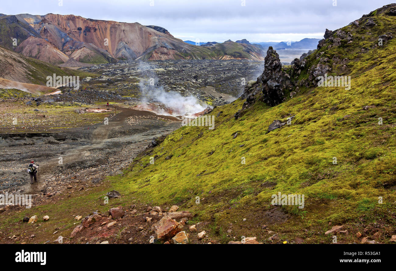 Geothermischen Quellen in Island - Sehenswürdigkeiten Stockfotohttps://www.alamy.de/image-license-details/?v=1https://www.alamy.de/geothermischen-quellen-in-island-sehenswurdigkeiten-image226886745.html
RFR53GA1–Geothermischen Quellen in Island - Sehenswürdigkeiten
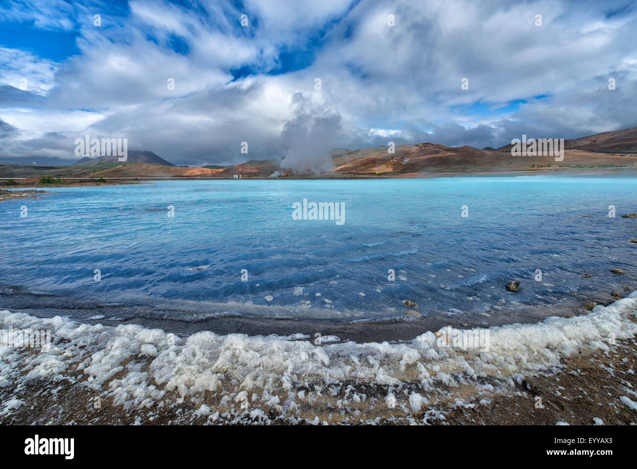
 Blauer See in Hverir Myvatn Geothermie-Gebiet mit kochenden Schlammbecken und dampfenden Fumarolen in Island Stockfotohttps://www.alamy.de/image-license-details/?v=1https://www.alamy.de/blauer-see-in-hverir-myvatn-geothermie-gebiet-mit-kochenden-schlammbecken-und-dampfenden-fumarolen-in-island-image365805425.html
RF2C73TFD–Blauer See in Hverir Myvatn Geothermie-Gebiet mit kochenden Schlammbecken und dampfenden Fumarolen in Island
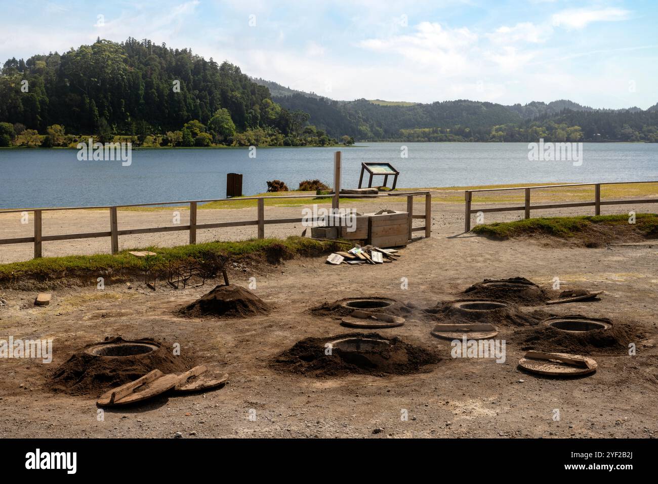 Das vulkanische Herz von São Miguel liegt in der Nähe des Dorfes Furnas, wo dampfende Fumarolen und sprudelnde Schlammtöpfe, die lokal als caldeiras bekannt sind, absteigen Stockfotohttps://www.alamy.de/image-license-details/?v=1https://www.alamy.de/das-vulkanische-herz-von-so-miguel-liegt-in-der-nahe-des-dorfes-furnas-wo-dampfende-fumarolen-und-sprudelnde-schlammtopfe-die-lokal-als-caldeiras-bekannt-sind-absteigen-image628845690.html
RF2YF2B2J–Das vulkanische Herz von São Miguel liegt in der Nähe des Dorfes Furnas, wo dampfende Fumarolen und sprudelnde Schlammtöpfe, die lokal als caldeiras bekannt sind, absteigen
 Geothermische Gebiet Hverir, Island Stockfotohttps://www.alamy.de/image-license-details/?v=1https://www.alamy.de/stockfoto-geothermische-gebiet-hverir-island-86038459.html
RMEYYAX3–Geothermische Gebiet Hverir, Island
 Geothermische Aktivität mit kochendem Mudpools, Namafjall, Myvatn, Island, Mai Stockfotohttps://www.alamy.de/image-license-details/?v=1https://www.alamy.de/geothermische-aktivitat-mit-kochendem-mudpools-namafjall-myvatn-island-mai-image65309560.html
RMDP7308–Geothermische Aktivität mit kochendem Mudpools, Namafjall, Myvatn, Island, Mai
 Námafjall Geothermie Berggebiet, in der Nähe von Akureyri, Nordisland. Stockfotohttps://www.alamy.de/image-license-details/?v=1https://www.alamy.de/stockfoto-nmafjall-geothermie-berggebiet-in-der-nahe-von-akureyri-nordisland-21060564.html
RMB67AY0–Námafjall Geothermie Berggebiet, in der Nähe von Akureyri, Nordisland.
 Bilder in und um Akureyri Island Stockfotohttps://www.alamy.de/image-license-details/?v=1https://www.alamy.de/bilder-in-und-um-akureyri-island-image177880372.html
RFM9B46C–Bilder in und um Akureyri Island
 Kochendem Schlamm-Pool, Krafla geothermische Gebiet in der Nähe von Myvatn, Island Stockfotohttps://www.alamy.de/image-license-details/?v=1https://www.alamy.de/kochendem-schlamm-pool-krafla-geothermische-gebiet-in-der-nahe-von-myvatn-island-image66821492.html
RMDTKYDT–Kochendem Schlamm-Pool, Krafla geothermische Gebiet in der Nähe von Myvatn, Island
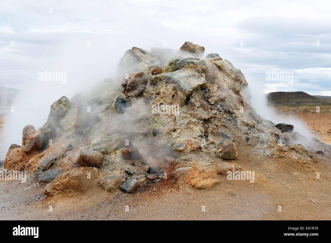 Solfatara in Namfjall Hverir Myvatn Namafjall Hverir, Hverarönd, Myvatn-Gebiet, North Island Stockfotohttps://www.alamy.de/image-license-details/?v=1https://www.alamy.de/stockfoto-solfatara-in-namfjall-hverir-myvatn-namafjall-hverir-hverarond-myvatn-gebiet-north-island-71340276.html
RME41R70–Solfatara in Namfjall Hverir Myvatn Namafjall Hverir, Hverarönd, Myvatn-Gebiet, North Island
 Luftaufnahme eines geothermischen Hotspot in Island, blau mudpools mit roten und orangefarbenen Ton. Stockfotohttps://www.alamy.de/image-license-details/?v=1https://www.alamy.de/stockfoto-luftaufnahme-eines-geothermischen-hotspot-in-island-blau-mudpools-mit-roten-und-orangefarbenen-ton-163249803.html
RFKDGJP3–Luftaufnahme eines geothermischen Hotspot in Island, blau mudpools mit roten und orangefarbenen Ton.
 Námafjall Geysir auf Island im Winter. Stockfotohttps://www.alamy.de/image-license-details/?v=1https://www.alamy.de/stockfoto-nmafjall-geysir-auf-island-im-winter-135939943.html
RMHW4GNY–Námafjall Geysir auf Island im Winter.
 Kochende Schlammbecken / Schlammbecken bei Hverir, Geothermie-Gebiet in der Nähe von Námafjall, Norðurland eystra / Nordurland eystra, Island Stockfotohttps://www.alamy.de/image-license-details/?v=1https://www.alamy.de/stockfoto-kochende-schlammbecken-schlammbecken-bei-hverir-geothermie-gebiet-in-der-nahe-von-nmafjall-norurland-eystra-nordurland-eystra-island-165160557.html
RMKGKKY9–Kochende Schlammbecken / Schlammbecken bei Hverir, Geothermie-Gebiet in der Nähe von Námafjall, Norðurland eystra / Nordurland eystra, Island
 Sieden Mudpools am Namafjall Hverir - Myvatn Region North Central Island Stockfotohttps://www.alamy.de/image-license-details/?v=1https://www.alamy.de/stockfoto-sieden-mudpools-am-namafjall-hverir-myvatn-region-north-central-island-72133857.html
RME59YD5–Sieden Mudpools am Namafjall Hverir - Myvatn Region North Central Island
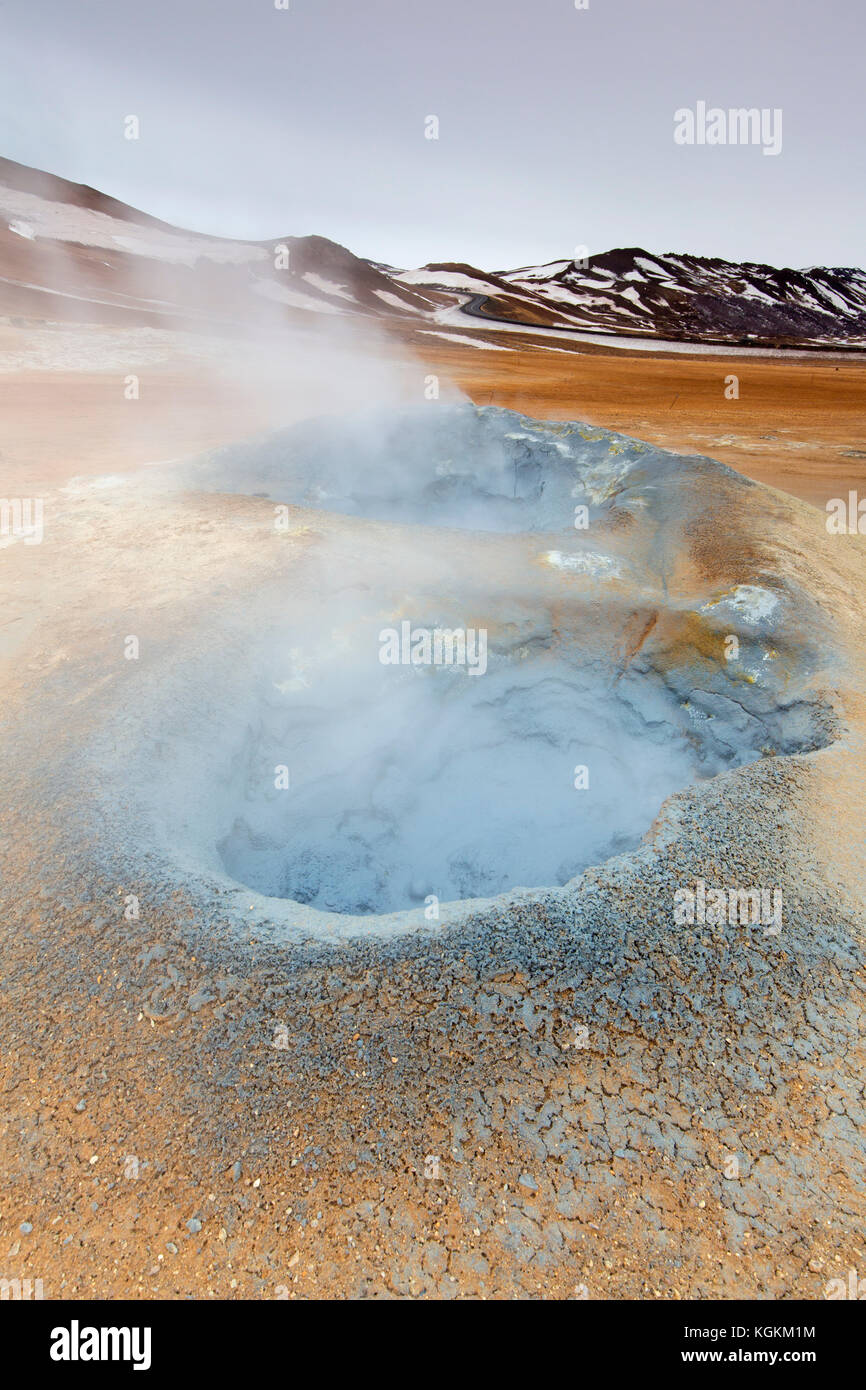 Kochendes Schlammbecken / Schlammtopf bei Hverir, Geothermiegebiet bei Námafjall, Norðurland eystra / Nordurland eystra, Island Stockfotohttps://www.alamy.de/image-license-details/?v=1https://www.alamy.de/stockfoto-kochendes-schlammbecken-schlammtopf-bei-hverir-geothermiegebiet-bei-nmafjall-norurland-eystra-nordurland-eystra-island-165160624.html
RMKGKM1M–Kochendes Schlammbecken / Schlammtopf bei Hverir, Geothermiegebiet bei Námafjall, Norðurland eystra / Nordurland eystra, Island
 Sieden Mudpools am Namafjall Hverir - Myvatn Region North Central Island Stockfotohttps://www.alamy.de/image-license-details/?v=1https://www.alamy.de/stockfoto-sieden-mudpools-am-namafjall-hverir-myvatn-region-north-central-island-58138105.html
RMDAGBMW–Sieden Mudpools am Namafjall Hverir - Myvatn Region North Central Island
 Luftaufnahme des geothermischen Gebiets Myvatn Stockfotohttps://www.alamy.de/image-license-details/?v=1https://www.alamy.de/luftaufnahme-des-geothermischen-gebiets-myvatn-image466182352.html
RF2J2CC9M–Luftaufnahme des geothermischen Gebiets Myvatn
 Dampfkegel in Hverir Geothermie-Gebiet mit kochenden Schlammbecken und dampfenden Fumarolen in Island Lage: Geothermie-Gebiet Hverir, Region Myvatn, Nort Stockfotohttps://www.alamy.de/image-license-details/?v=1https://www.alamy.de/dampfkegel-in-hverir-geothermie-gebiet-mit-kochenden-schlammbecken-und-dampfenden-fumarolen-in-island-lage-geothermie-gebiet-hverir-region-myvatn-nort-image366263927.html
RF2C7TNAF–Dampfkegel in Hverir Geothermie-Gebiet mit kochenden Schlammbecken und dampfenden Fumarolen in Island Lage: Geothermie-Gebiet Hverir, Region Myvatn, Nort
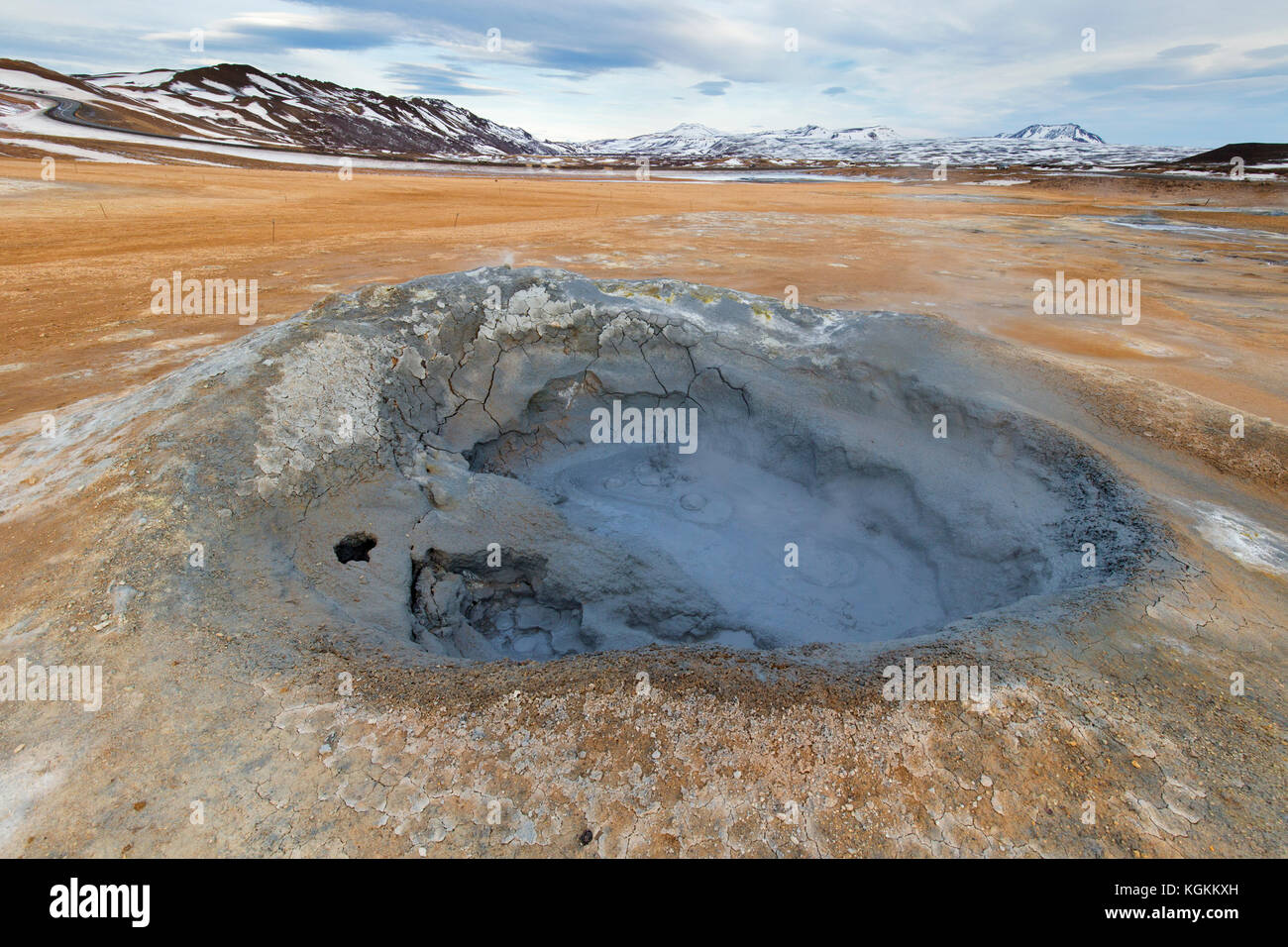 Kochendes Schlammbecken / Schlammtopf bei Hverir, Geothermiegebiet bei Námafjall, Norðurland eystra / Nordurland eystra, Island Stockfotohttps://www.alamy.de/image-license-details/?v=1https://www.alamy.de/stockfoto-kochendes-schlammbecken-schlammtopf-bei-hverir-geothermiegebiet-bei-nmafjall-norurland-eystra-nordurland-eystra-island-165160537.html
RMKGKKXH–Kochendes Schlammbecken / Schlammtopf bei Hverir, Geothermiegebiet bei Námafjall, Norðurland eystra / Nordurland eystra, Island
 Hverir kochender Schlamm Gebiet namens auch Hverarond in der Nähe von reykjahlid Stadt im Norden von Island Stockfotohttps://www.alamy.de/image-license-details/?v=1https://www.alamy.de/hverir-kochender-schlamm-gebiet-namens-auch-hverarond-in-der-nahe-von-reykjahlid-stadt-im-norden-von-island-image243974074.html
RMT4WYBP–Hverir kochender Schlamm Gebiet namens auch Hverarond in der Nähe von reykjahlid Stadt im Norden von Island
 Geothermischen Quellen in Island - Sehenswürdigkeiten Stockfotohttps://www.alamy.de/image-license-details/?v=1https://www.alamy.de/geothermischen-quellen-in-island-sehenswurdigkeiten-image226886741.html
RFR53G9W–Geothermischen Quellen in Island - Sehenswürdigkeiten
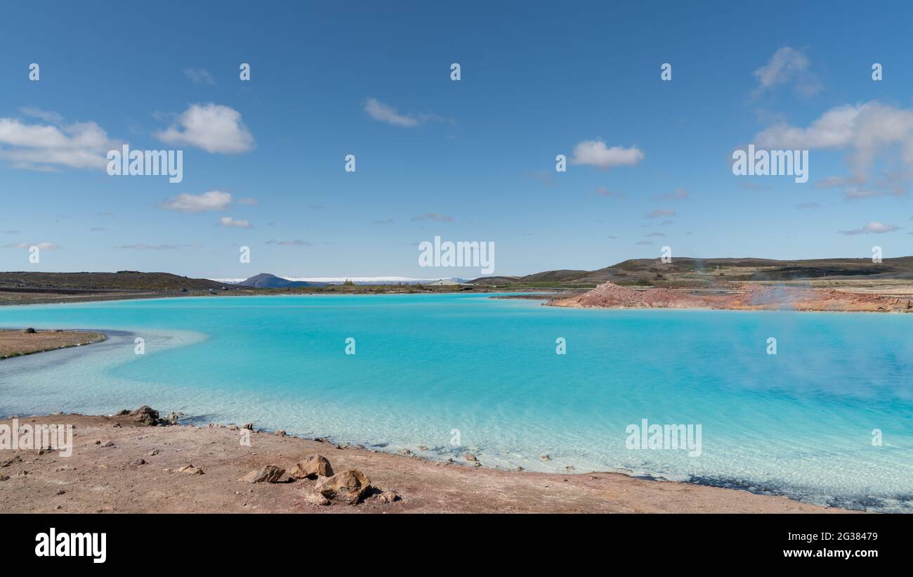 Blauer See in Hverir Myvatn Geothermie-Gebiet mit kochenden Schlammbecken und dampfenden Fumarolen in Island Stockfotohttps://www.alamy.de/image-license-details/?v=1https://www.alamy.de/blauer-see-in-hverir-myvatn-geothermie-gebiet-mit-kochenden-schlammbecken-und-dampfenden-fumarolen-in-island-image432282125.html
RF2G38479–Blauer See in Hverir Myvatn Geothermie-Gebiet mit kochenden Schlammbecken und dampfenden Fumarolen in Island
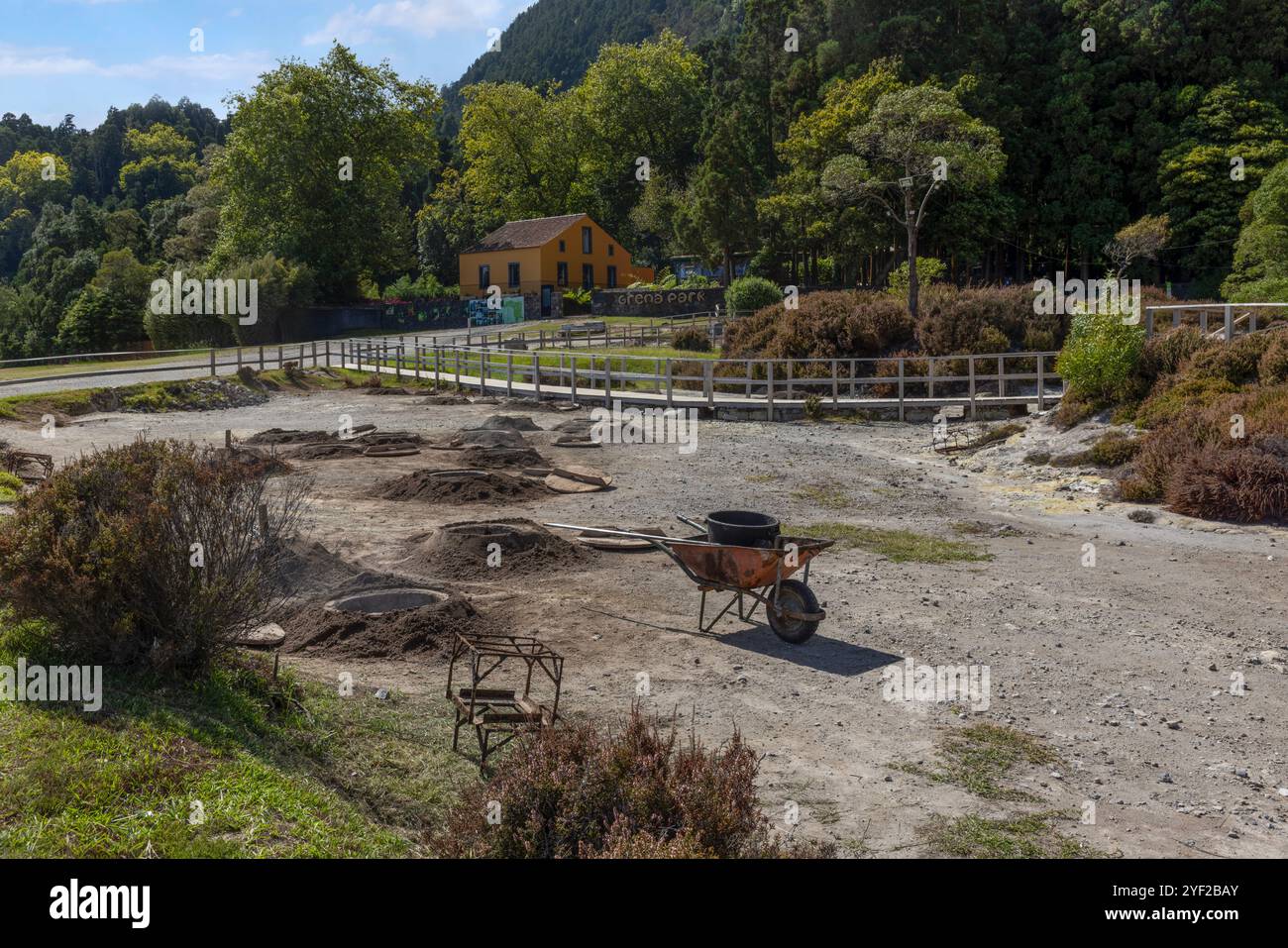 Das vulkanische Herz von São Miguel liegt in der Nähe des Dorfes Furnas, wo dampfende Fumarolen und sprudelnde Schlammtöpfe, die lokal als caldeiras bekannt sind, absteigen Stockfotohttps://www.alamy.de/image-license-details/?v=1https://www.alamy.de/das-vulkanische-herz-von-so-miguel-liegt-in-der-nahe-des-dorfes-furnas-wo-dampfende-fumarolen-und-sprudelnde-schlammtopfe-die-lokal-als-caldeiras-bekannt-sind-absteigen-image628845923.html
RF2YF2BAY–Das vulkanische Herz von São Miguel liegt in der Nähe des Dorfes Furnas, wo dampfende Fumarolen und sprudelnde Schlammtöpfe, die lokal als caldeiras bekannt sind, absteigen
 Kraftwerk Krafla in Krafla, Island Stockfotohttps://www.alamy.de/image-license-details/?v=1https://www.alamy.de/stockfoto-kraftwerk-krafla-in-krafla-island-86038432.html
RMEYYAW4–Kraftwerk Krafla in Krafla, Island
 Touristen, die gerne an Geysire und Mudpools, in der Nähe von Rotorua, Nordinsel, Neuseeland Stockfotohttps://www.alamy.de/image-license-details/?v=1https://www.alamy.de/stockfoto-touristen-die-gerne-an-geysire-und-mudpools-in-der-nahe-von-rotorua-nordinsel-neuseeland-11623276.html
RMA6P3NH–Touristen, die gerne an Geysire und Mudpools, in der Nähe von Rotorua, Nordinsel, Neuseeland
 Námafjall Geothermie Berggebiet, in der Nähe von Akureyri, Nordisland. Stockfotohttps://www.alamy.de/image-license-details/?v=1https://www.alamy.de/stockfoto-nmafjall-geothermie-berggebiet-in-der-nahe-von-akureyri-nordisland-21060328.html
RMB67AJG–Námafjall Geothermie Berggebiet, in der Nähe von Akureyri, Nordisland.
 Bilder in und um Akureyri Island Stockfotohttps://www.alamy.de/image-license-details/?v=1https://www.alamy.de/bilder-in-und-um-akureyri-island-image177880482.html
RFM9B4AA–Bilder in und um Akureyri Island
 Kochendem Schlamm-Pool, Krafla geothermische Gebiet in der Nähe von Myvatn, Island Stockfotohttps://www.alamy.de/image-license-details/?v=1https://www.alamy.de/kochendem-schlamm-pool-krafla-geothermische-gebiet-in-der-nahe-von-myvatn-island-image66821452.html
RMDTKYCC–Kochendem Schlamm-Pool, Krafla geothermische Gebiet in der Nähe von Myvatn, Island
 Solfatara in Namfjall Hverir Myvatn Namafjall Hverir, Hverarönd, Myvatn-Gebiet, North Island Stockfotohttps://www.alamy.de/image-license-details/?v=1https://www.alamy.de/stockfoto-solfatara-in-namfjall-hverir-myvatn-namafjall-hverir-hverarond-myvatn-gebiet-north-island-71340164.html
RME41R30–Solfatara in Namfjall Hverir Myvatn Namafjall Hverir, Hverarönd, Myvatn-Gebiet, North Island
 Nahaufnahme eines Schlammvulkans oder Schlammdoms auf Kamtschatka Stockfotohttps://www.alamy.de/image-license-details/?v=1https://www.alamy.de/nahaufnahme-eines-schlammvulkans-oder-schlammdoms-auf-kamtschatka-image446849403.html
RF2GXYMY7–Nahaufnahme eines Schlammvulkans oder Schlammdoms auf Kamtschatka
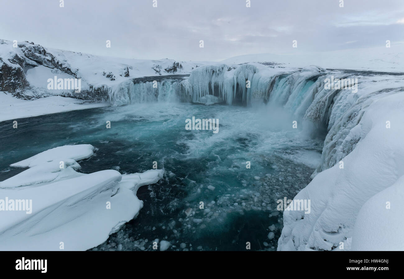 Goðafoss Wasserfall, Island. Stockfotohttps://www.alamy.de/image-license-details/?v=1https://www.alamy.de/stockfoto-goafoss-wasserfall-island-135939934.html
RMHW4GNJ–Goðafoss Wasserfall, Island.
 Nahaufnahme eines Schlammvulkans oder Schlammdoms auf Kamtschatka Stockfotohttps://www.alamy.de/image-license-details/?v=1https://www.alamy.de/nahaufnahme-eines-schlammvulkans-oder-schlammdoms-auf-kamtschatka-image431065230.html
RF2G18M2P–Nahaufnahme eines Schlammvulkans oder Schlammdoms auf Kamtschatka
 Einer der geothermischen Pools des Yellowstone National Park. Yellowstone war der erste Nationalpark der Welt. Die Caldera gilt als aktiver Vulkan Stockfotohttps://www.alamy.de/image-license-details/?v=1https://www.alamy.de/einer-der-geothermischen-pools-des-yellowstone-national-park-yellowstone-war-der-erste-nationalpark-der-welt-die-caldera-gilt-als-aktiver-vulkan-image383483840.html
RF2D7W5FC–Einer der geothermischen Pools des Yellowstone National Park. Yellowstone war der erste Nationalpark der Welt. Die Caldera gilt als aktiver Vulkan
 Sieden Mudpools am Namafjall Hverir - Myvatn Region North Central Island Stockfotohttps://www.alamy.de/image-license-details/?v=1https://www.alamy.de/stockfoto-sieden-mudpools-am-namafjall-hverir-myvatn-region-north-central-island-58138061.html
RMDAGBK9–Sieden Mudpools am Namafjall Hverir - Myvatn Region North Central Island
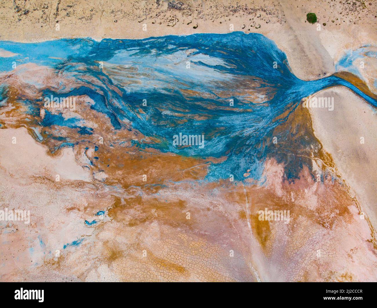 Luftaufnahme des geothermischen Gebiets Myvatn Stockfotohttps://www.alamy.de/image-license-details/?v=1https://www.alamy.de/luftaufnahme-des-geothermischen-gebiets-myvatn-image466182439.html
RF2J2CCCR–Luftaufnahme des geothermischen Gebiets Myvatn
 Dampfkegel in Hverir Geothermie-Gebiet mit kochenden Schlammbecken und dampfenden Fumarolen in Island Lage: Geothermie-Gebiet Hverir, Region Myvatn, Nort Stockfotohttps://www.alamy.de/image-license-details/?v=1https://www.alamy.de/dampfkegel-in-hverir-geothermie-gebiet-mit-kochenden-schlammbecken-und-dampfenden-fumarolen-in-island-lage-geothermie-gebiet-hverir-region-myvatn-nort-image366044107.html
RF2C7EMYR–Dampfkegel in Hverir Geothermie-Gebiet mit kochenden Schlammbecken und dampfenden Fumarolen in Island Lage: Geothermie-Gebiet Hverir, Region Myvatn, Nort
 Sieden Mudpool Landschaft der Namafjall Hverir - Myvatn Region North Central Island Stockfotohttps://www.alamy.de/image-license-details/?v=1https://www.alamy.de/stockfoto-sieden-mudpool-landschaft-der-namafjall-hverir-myvatn-region-north-central-island-72132950.html
RME59X8P–Sieden Mudpool Landschaft der Namafjall Hverir - Myvatn Region North Central Island
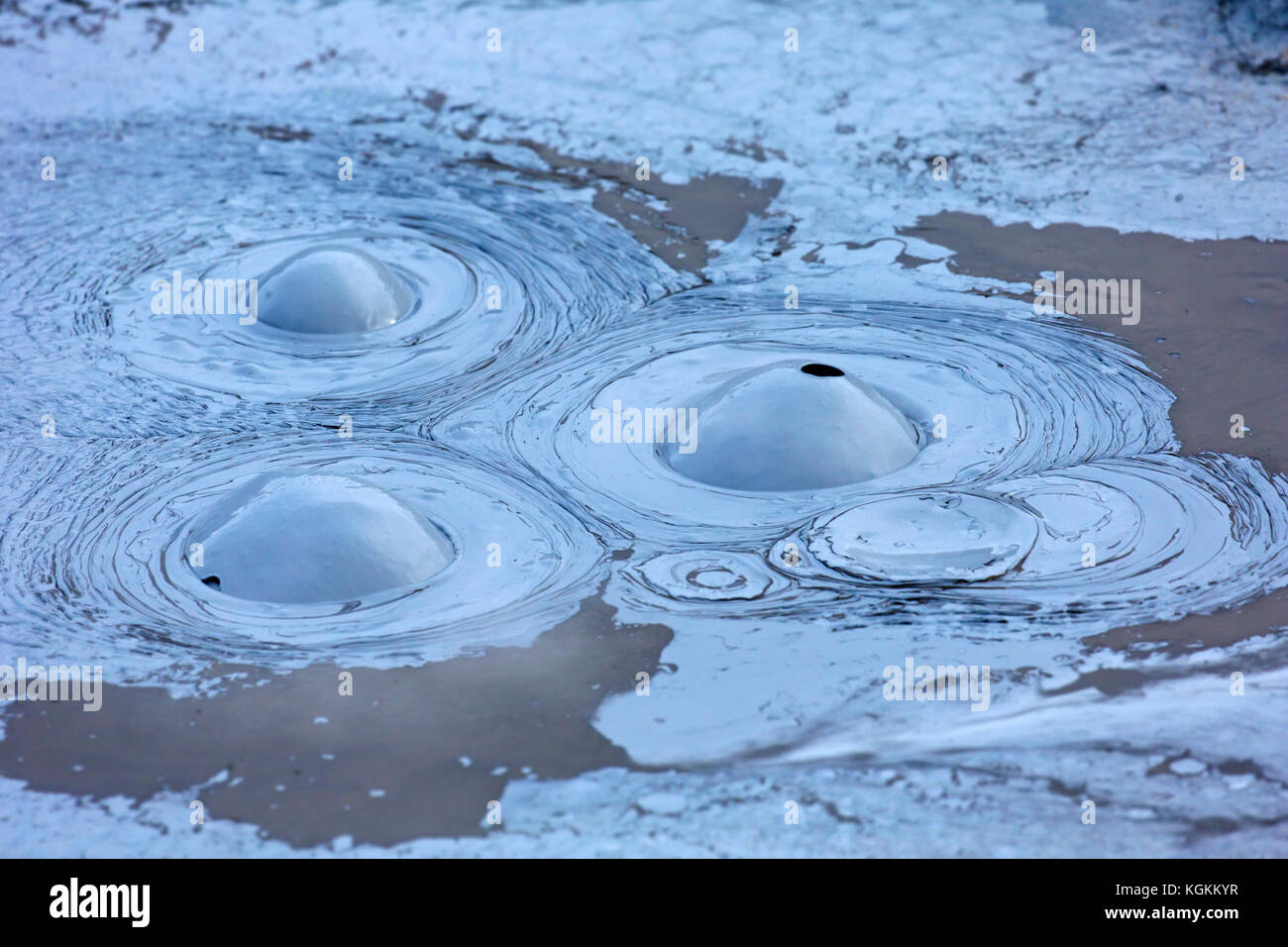 Sprudelnder Schlamm im Schlammbecken / Schlammtopf bei Hverir, Geothermie-Gebiet bei Námafjall, Norðurland eystra / Nordurland eystra, Island Stockfotohttps://www.alamy.de/image-license-details/?v=1https://www.alamy.de/stockfoto-sprudelnder-schlamm-im-schlammbecken-schlammtopf-bei-hverir-geothermie-gebiet-bei-nmafjall-norurland-eystra-nordurland-eystra-island-165160571.html
RMKGKKYR–Sprudelnder Schlamm im Schlammbecken / Schlammtopf bei Hverir, Geothermie-Gebiet bei Námafjall, Norðurland eystra / Nordurland eystra, Island
 Hverir kochender Schlamm Gebiet namens auch Hverarond in der Nähe von reykjahlid Stadt im Norden von Island Stockfotohttps://www.alamy.de/image-license-details/?v=1https://www.alamy.de/hverir-kochender-schlamm-gebiet-namens-auch-hverarond-in-der-nahe-von-reykjahlid-stadt-im-norden-von-island-image243974025.html
RMT4WYA1–Hverir kochender Schlamm Gebiet namens auch Hverarond in der Nähe von reykjahlid Stadt im Norden von Island
 Heiße Spings und dampfende Fumarolen bei Hverir, Geothermie-Gebiet in der Nähe von Námafjall, Norðurland eystra / Nordurland eystra, Island Stockfotohttps://www.alamy.de/image-license-details/?v=1https://www.alamy.de/stockfoto-heisse-spings-und-dampfende-fumarolen-bei-hverir-geothermie-gebiet-in-der-nahe-von-nmafjall-norurland-eystra-nordurland-eystra-island-165160588.html
RMKGKM0C–Heiße Spings und dampfende Fumarolen bei Hverir, Geothermie-Gebiet in der Nähe von Námafjall, Norðurland eystra / Nordurland eystra, Island
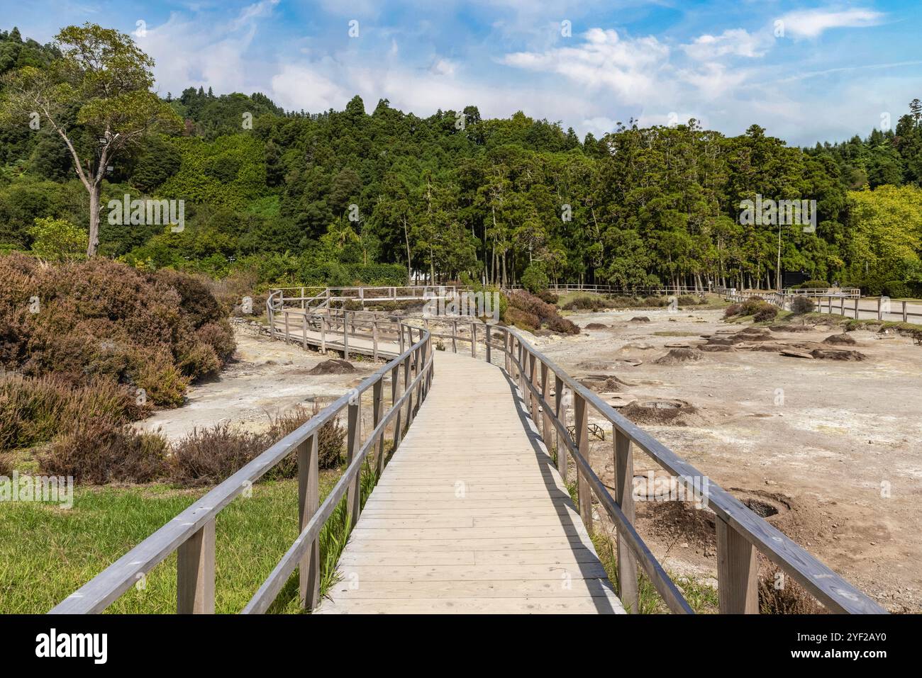 Das vulkanische Herz von São Miguel liegt in der Nähe des Dorfes Furnas, wo dampfende Fumarolen und sprudelnde Schlammtöpfe, die lokal als caldeiras bekannt sind, absteigen Stockfotohttps://www.alamy.de/image-license-details/?v=1https://www.alamy.de/das-vulkanische-herz-von-so-miguel-liegt-in-der-nahe-des-dorfes-furnas-wo-dampfende-fumarolen-und-sprudelnde-schlammtopfe-die-lokal-als-caldeiras-bekannt-sind-absteigen-image628845588.html
RF2YF2AY0–Das vulkanische Herz von São Miguel liegt in der Nähe des Dorfes Furnas, wo dampfende Fumarolen und sprudelnde Schlammtöpfe, die lokal als caldeiras bekannt sind, absteigen
 Geothermische Gebiet Hverir, Island Stockfotohttps://www.alamy.de/image-license-details/?v=1https://www.alamy.de/stockfoto-geothermische-gebiet-hverir-island-85585645.html
RMEY6NA5–Geothermische Gebiet Hverir, Island
 Geothermischen Quellen in Island - Sehenswürdigkeiten Stockfotohttps://www.alamy.de/image-license-details/?v=1https://www.alamy.de/geothermischen-quellen-in-island-sehenswurdigkeiten-image226856467.html
RFR525MK–Geothermischen Quellen in Island - Sehenswürdigkeiten
 Námafjall Geothermie Berggebiet, in der Nähe von Akureyri, Nordisland. Stockfotohttps://www.alamy.de/image-license-details/?v=1https://www.alamy.de/stockfoto-nmafjall-geothermie-berggebiet-in-der-nahe-von-akureyri-nordisland-21060551.html
RMB67AXF–Námafjall Geothermie Berggebiet, in der Nähe von Akureyri, Nordisland.
 Bilder in und um Akureyri Island Stockfotohttps://www.alamy.de/image-license-details/?v=1https://www.alamy.de/bilder-in-und-um-akureyri-island-image177880381.html
RFM9B46N–Bilder in und um Akureyri Island
 Geothermischen Quellen in Island - Sehenswürdigkeiten Stockfotohttps://www.alamy.de/image-license-details/?v=1https://www.alamy.de/geothermischen-quellen-in-island-sehenswurdigkeiten-image226886735.html
RFR53G9K–Geothermischen Quellen in Island - Sehenswürdigkeiten
 Solfatara in Namfjall Hverir Myvatn Namafjall Hverir, Hverarönd, Myvatn-Gebiet, North Island Stockfotohttps://www.alamy.de/image-license-details/?v=1https://www.alamy.de/stockfoto-solfatara-in-namfjall-hverir-myvatn-namafjall-hverir-hverarond-myvatn-gebiet-north-island-71340155.html
RME41R2K–Solfatara in Namfjall Hverir Myvatn Namafjall Hverir, Hverarönd, Myvatn-Gebiet, North Island
 Hverir Myvatn Geothermie-Gebiet mit kochenden Schlammbecken und dampfenden Fumarolen in Island Stockfotohttps://www.alamy.de/image-license-details/?v=1https://www.alamy.de/hverir-myvatn-geothermie-gebiet-mit-kochenden-schlammbecken-und-dampfenden-fumarolen-in-island-image365805246.html
RF2C73T92–Hverir Myvatn Geothermie-Gebiet mit kochenden Schlammbecken und dampfenden Fumarolen in Island
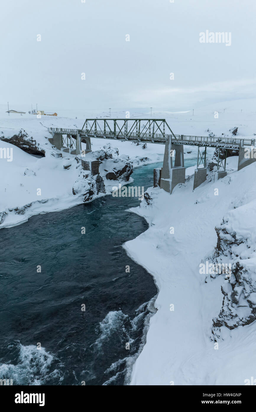 Goðafoss Wasserfall, Island. Stockfotohttps://www.alamy.de/image-license-details/?v=1https://www.alamy.de/stockfoto-goafoss-wasserfall-island-135939938.html
RMHW4GNP–Goðafoss Wasserfall, Island.
 Kochendem Schlamm-Pool, Krafla geothermische Gebiet in der Nähe von Myvatn, Island Stockfotohttps://www.alamy.de/image-license-details/?v=1https://www.alamy.de/kochendem-schlamm-pool-krafla-geothermische-gebiet-in-der-nahe-von-myvatn-island-image66821416.html
RMDTKYB4–Kochendem Schlamm-Pool, Krafla geothermische Gebiet in der Nähe von Myvatn, Island
 Nahaufnahme eines Schlammvulkans oder Schlammdoms auf Kamtschatka Stockfotohttps://www.alamy.de/image-license-details/?v=1https://www.alamy.de/nahaufnahme-eines-schlammvulkans-oder-schlammdoms-auf-kamtschatka-image443824202.html
RF2GP1X8A–Nahaufnahme eines Schlammvulkans oder Schlammdoms auf Kamtschatka
 Einer der geothermischen Pools des Yellowstone National Park. Yellowstone war der erste Nationalpark der Welt. Die Caldera gilt als aktiver Vulkan Stockfotohttps://www.alamy.de/image-license-details/?v=1https://www.alamy.de/einer-der-geothermischen-pools-des-yellowstone-national-park-yellowstone-war-der-erste-nationalpark-der-welt-die-caldera-gilt-als-aktiver-vulkan-image383484250.html
RF2D7W622–Einer der geothermischen Pools des Yellowstone National Park. Yellowstone war der erste Nationalpark der Welt. Die Caldera gilt als aktiver Vulkan
 Luftaufnahme des geothermischen Gebiets Myvatn Stockfotohttps://www.alamy.de/image-license-details/?v=1https://www.alamy.de/luftaufnahme-des-geothermischen-gebiets-myvatn-image466182343.html
RF2J2CC9B–Luftaufnahme des geothermischen Gebiets Myvatn
 Dampfkegel in Hverir Geothermie-Gebiet mit kochenden Schlammbecken und dampfenden Fumarolen in Island Lage: Geothermie-Gebiet Hverir, Region Myvatn, Nort Stockfotohttps://www.alamy.de/image-license-details/?v=1https://www.alamy.de/dampfkegel-in-hverir-geothermie-gebiet-mit-kochenden-schlammbecken-und-dampfenden-fumarolen-in-island-lage-geothermie-gebiet-hverir-region-myvatn-nort-image366148084.html
RF2C7KDH8–Dampfkegel in Hverir Geothermie-Gebiet mit kochenden Schlammbecken und dampfenden Fumarolen in Island Lage: Geothermie-Gebiet Hverir, Region Myvatn, Nort
 Sieden Mudpool Landschaft der Namafjall Hverir - Myvatn Region North Central Island Stockfotohttps://www.alamy.de/image-license-details/?v=1https://www.alamy.de/stockfoto-sieden-mudpool-landschaft-der-namafjall-hverir-myvatn-region-north-central-island-72132955.html
RME59X8Y–Sieden Mudpool Landschaft der Namafjall Hverir - Myvatn Region North Central Island
 Dampfende Fumarolen am Namafjall Hverir - Myvatn Region North Central Island Stockfotohttps://www.alamy.de/image-license-details/?v=1https://www.alamy.de/stockfoto-dampfende-fumarolen-am-namafjall-hverir-myvatn-region-north-central-island-58137442.html
RMDAGAW6–Dampfende Fumarolen am Namafjall Hverir - Myvatn Region North Central Island
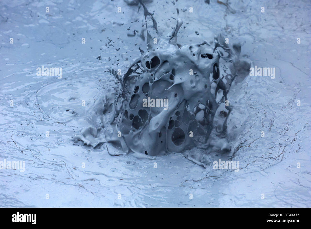 Sprudelnder Schlamm im Schlammbecken / Schlammtopf bei Hverir, Geothermie-Gebiet bei Námafjall, Norðurland eystra / Nordurland eystra, Island Stockfotohttps://www.alamy.de/image-license-details/?v=1https://www.alamy.de/stockfoto-sprudelnder-schlamm-im-schlammbecken-schlammtopf-bei-hverir-geothermie-gebiet-bei-nmafjall-norurland-eystra-nordurland-eystra-island-165160662.html
RMKGKM32–Sprudelnder Schlamm im Schlammbecken / Schlammtopf bei Hverir, Geothermie-Gebiet bei Námafjall, Norðurland eystra / Nordurland eystra, Island
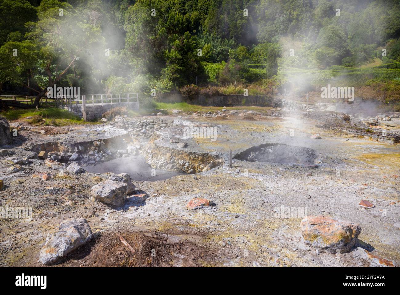 Das vulkanische Herz von São Miguel liegt in der Nähe des Dorfes Furnas, wo dampfende Fumarolen und sprudelnde Schlammtöpfe, die lokal als caldeiras bekannt sind, absteigen Stockfotohttps://www.alamy.de/image-license-details/?v=1https://www.alamy.de/das-vulkanische-herz-von-so-miguel-liegt-in-der-nahe-des-dorfes-furnas-wo-dampfende-fumarolen-und-sprudelnde-schlammtopfe-die-lokal-als-caldeiras-bekannt-sind-absteigen-image628845598.html
RF2YF2AYA–Das vulkanische Herz von São Miguel liegt in der Nähe des Dorfes Furnas, wo dampfende Fumarolen und sprudelnde Schlammtöpfe, die lokal als caldeiras bekannt sind, absteigen
 Kraftwerk Krafla in Krafla, Island Stockfotohttps://www.alamy.de/image-license-details/?v=1https://www.alamy.de/stockfoto-kraftwerk-krafla-in-krafla-island-86038011.html
RMEYYAA3–Kraftwerk Krafla in Krafla, Island
 Promenade-Trail am Namafjall Hverir - Myvatn Region North Central Island Stockfotohttps://www.alamy.de/image-license-details/?v=1https://www.alamy.de/stockfoto-promenade-trail-am-namafjall-hverir-myvatn-region-north-central-island-72132954.html
RME59X8X–Promenade-Trail am Namafjall Hverir - Myvatn Region North Central Island
 Geothermische Gebiet Hverir, Island Stockfotohttps://www.alamy.de/image-license-details/?v=1https://www.alamy.de/stockfoto-geothermische-gebiet-hverir-island-85911902.html
RMEYNHE6–Geothermische Gebiet Hverir, Island
 Bilder in und um Akureyri Island Stockfotohttps://www.alamy.de/image-license-details/?v=1https://www.alamy.de/bilder-in-und-um-akureyri-island-image177880453.html
RFM9B499–Bilder in und um Akureyri Island
 Námafjall Geothermie Berggebiet, in der Nähe von Akureyri, Nordisland. Stockfotohttps://www.alamy.de/image-license-details/?v=1https://www.alamy.de/stockfoto-nmafjall-geothermie-berggebiet-in-der-nahe-von-akureyri-nordisland-21062442.html
RMB67DA2–Námafjall Geothermie Berggebiet, in der Nähe von Akureyri, Nordisland.
 Hverir kochender Schlamm Gebiet namens auch Hverarond in der Nähe von reykjahlid Stadt im Norden von Island Stockfotohttps://www.alamy.de/image-license-details/?v=1https://www.alamy.de/hverir-kochender-schlamm-gebiet-namens-auch-hverarond-in-der-nahe-von-reykjahlid-stadt-im-norden-von-island-image243696032.html
RFT4D8NM–Hverir kochender Schlamm Gebiet namens auch Hverarond in der Nähe von reykjahlid Stadt im Norden von Island
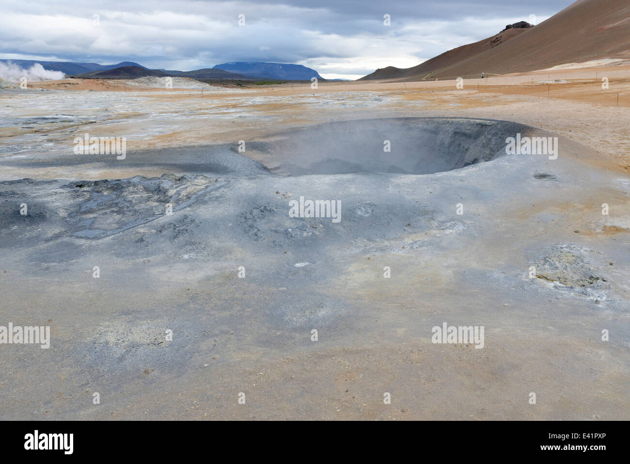 Namajfall Schlamm Topf oder Schlammbad, Namafjall, Hverir, Hverarönd, Myvatn, North Island Stockfotohttps://www.alamy.de/image-license-details/?v=1https://www.alamy.de/stockfoto-namajfall-schlamm-topf-oder-schlammbad-namafjall-hverir-hverarond-myvatn-north-island-71340046.html
RME41PXP–Namajfall Schlamm Topf oder Schlammbad, Namafjall, Hverir, Hverarönd, Myvatn, North Island
 Hverir Myvatn Geothermie-Gebiet mit kochenden Schlammbecken und dampfenden Fumarolen in Island Stockfotohttps://www.alamy.de/image-license-details/?v=1https://www.alamy.de/hverir-myvatn-geothermie-gebiet-mit-kochenden-schlammbecken-und-dampfenden-fumarolen-in-island-image365805288.html
RF2C73TAG–Hverir Myvatn Geothermie-Gebiet mit kochenden Schlammbecken und dampfenden Fumarolen in Island
 Námafjall Geysir auf Island im Winter. Stockfotohttps://www.alamy.de/image-license-details/?v=1https://www.alamy.de/stockfoto-nmafjall-geysir-auf-island-im-winter-135939936.html
RMHW4GNM–Námafjall Geysir auf Island im Winter.
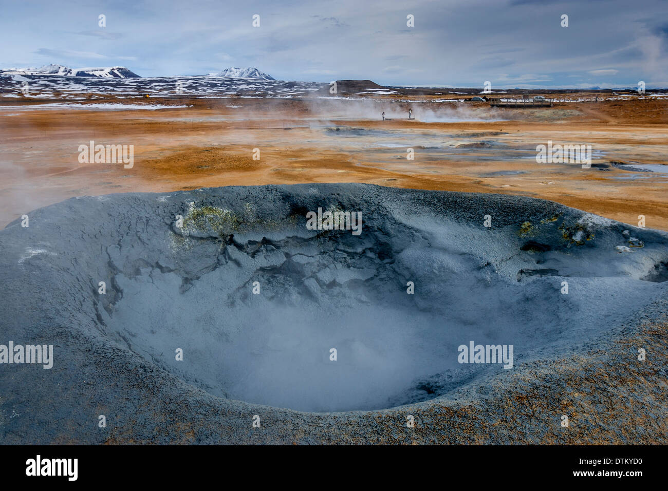 Kochendem Schlamm-Pool, Krafla geothermische Gebiet in der Nähe von Myvatn, Island Stockfotohttps://www.alamy.de/image-license-details/?v=1https://www.alamy.de/kochendem-schlamm-pool-krafla-geothermische-gebiet-in-der-nahe-von-myvatn-island-image66821468.html
RMDTKYD0–Kochendem Schlamm-Pool, Krafla geothermische Gebiet in der Nähe von Myvatn, Island
 Nahaufnahme eines Schlammvulkans oder Schlammdoms auf Kamtschatka Stockfotohttps://www.alamy.de/image-license-details/?v=1https://www.alamy.de/nahaufnahme-eines-schlammvulkans-oder-schlammdoms-auf-kamtschatka-image443824201.html
RF2GP1X89–Nahaufnahme eines Schlammvulkans oder Schlammdoms auf Kamtschatka
 Einer der geothermischen Pools des Yellowstone National Park. Yellowstone war der erste Nationalpark der Welt. Die Caldera gilt als aktiver Vulkan Stockfotohttps://www.alamy.de/image-license-details/?v=1https://www.alamy.de/einer-der-geothermischen-pools-des-yellowstone-national-park-yellowstone-war-der-erste-nationalpark-der-welt-die-caldera-gilt-als-aktiver-vulkan-image383484237.html
RF2D7W61H–Einer der geothermischen Pools des Yellowstone National Park. Yellowstone war der erste Nationalpark der Welt. Die Caldera gilt als aktiver Vulkan
 Luftaufnahme des geothermischen Gebiets Myvatn Stockfotohttps://www.alamy.de/image-license-details/?v=1https://www.alamy.de/luftaufnahme-des-geothermischen-gebiets-myvatn-image466182411.html
RF2J2CCBR–Luftaufnahme des geothermischen Gebiets Myvatn
 Dampfkegel in Hverir Geothermie-Gebiet mit kochenden Schlammbecken und dampfenden Fumarolen in Island Lage: Geothermie-Gebiet Hverir, Region Myvatn, Nort Stockfotohttps://www.alamy.de/image-license-details/?v=1https://www.alamy.de/dampfkegel-in-hverir-geothermie-gebiet-mit-kochenden-schlammbecken-und-dampfenden-fumarolen-in-island-lage-geothermie-gebiet-hverir-region-myvatn-nort-image366121717.html
RF2C7J7YH–Dampfkegel in Hverir Geothermie-Gebiet mit kochenden Schlammbecken und dampfenden Fumarolen in Island Lage: Geothermie-Gebiet Hverir, Region Myvatn, Nort
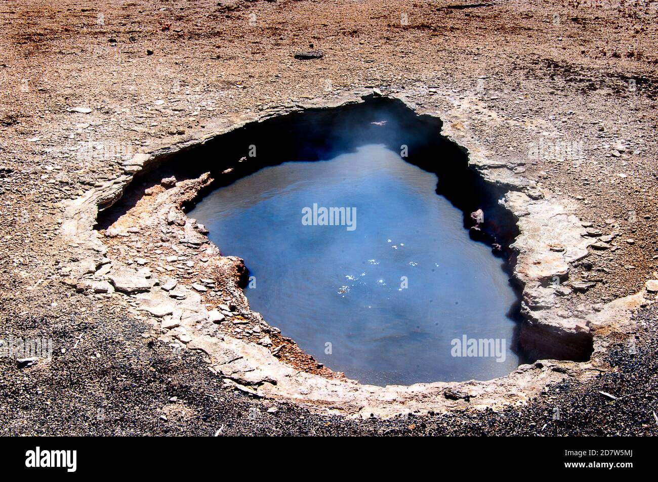 Einer der geothermischen Pools des Yellowstone National Park. Yellowstone war der erste Nationalpark der Welt. Die Caldera gilt als aktiver Vulkan Stockfotohttps://www.alamy.de/image-license-details/?v=1https://www.alamy.de/einer-der-geothermischen-pools-des-yellowstone-national-park-yellowstone-war-der-erste-nationalpark-der-welt-die-caldera-gilt-als-aktiver-vulkan-image383483986.html
RF2D7W5MJ–Einer der geothermischen Pools des Yellowstone National Park. Yellowstone war der erste Nationalpark der Welt. Die Caldera gilt als aktiver Vulkan