Schnellfilter:
Kane county Stockfotos & Bilder
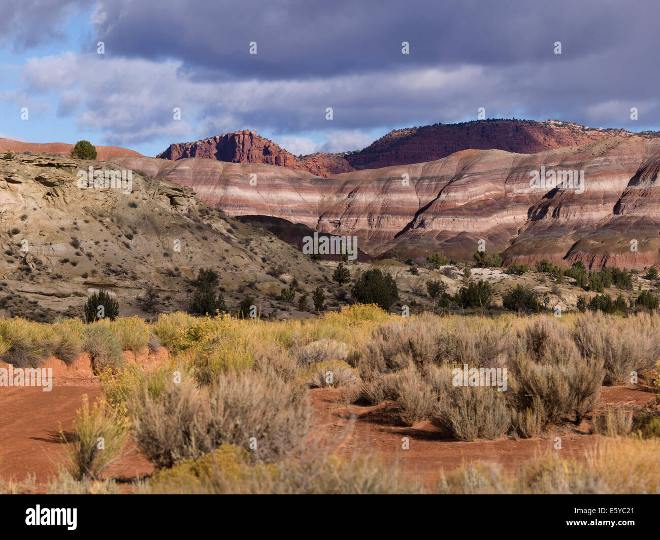 Paria Canyon, Paria, Kane County, Utah, USA Stockfotohttps://www.alamy.de/image-license-details/?v=1https://www.alamy.de/stockfoto-paria-canyon-paria-kane-county-utah-usa-72516921.html
RFE5YC21–Paria Canyon, Paria, Kane County, Utah, USA
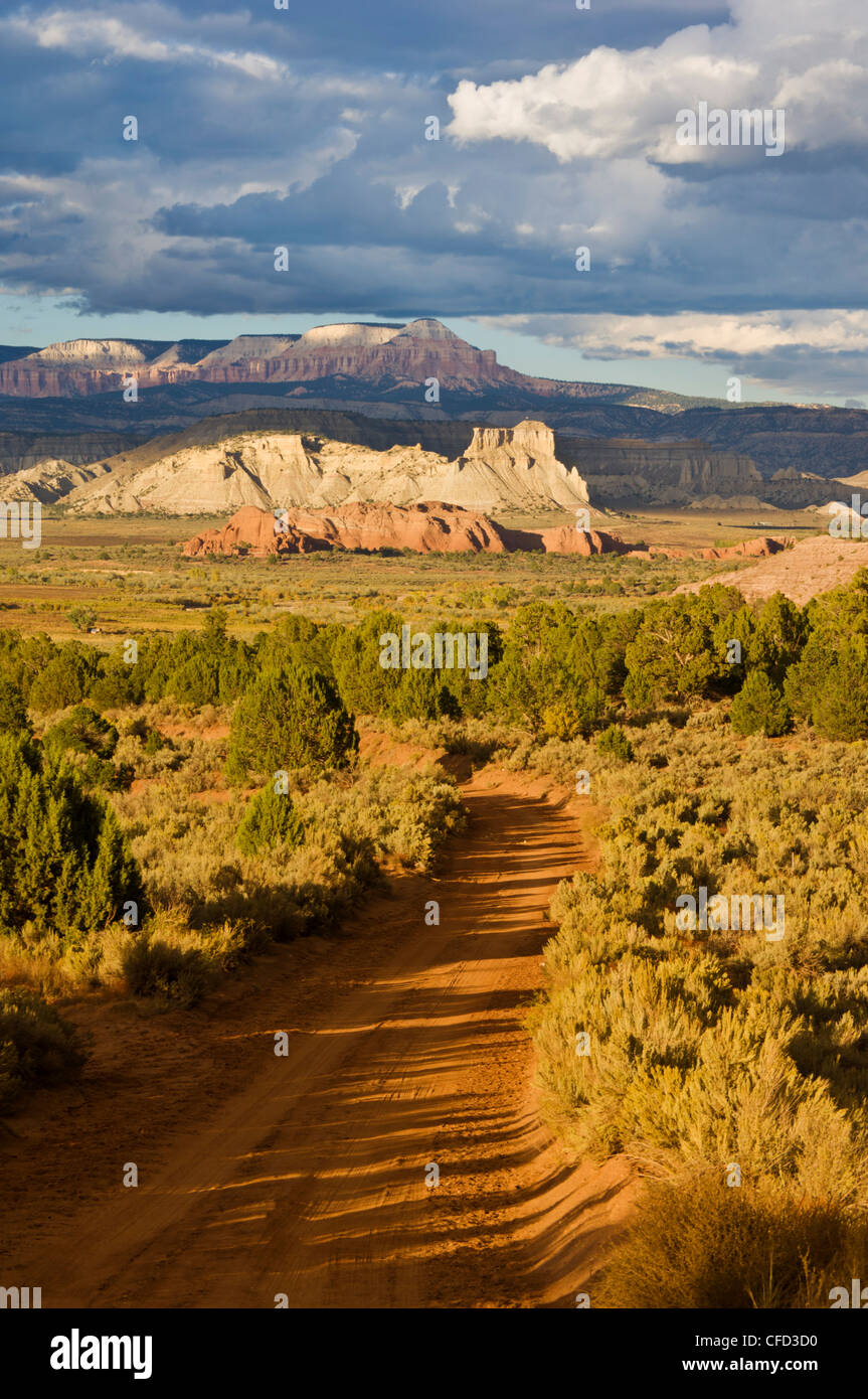 Skutumpah, Straße von Willis Creek in Richtung Bryce, Grand Staircase-Escalante National Monument, Kane County, Utah, USA Stockfotohttps://www.alamy.de/image-license-details/?v=1https://www.alamy.de/stockfoto-skutumpah-strasse-von-willis-creek-in-richtung-bryce-grand-staircase-escalante-national-monument-kane-county-utah-usa-43928668.html
RFCFD3D0–Skutumpah, Straße von Willis Creek in Richtung Bryce, Grand Staircase-Escalante National Monument, Kane County, Utah, USA
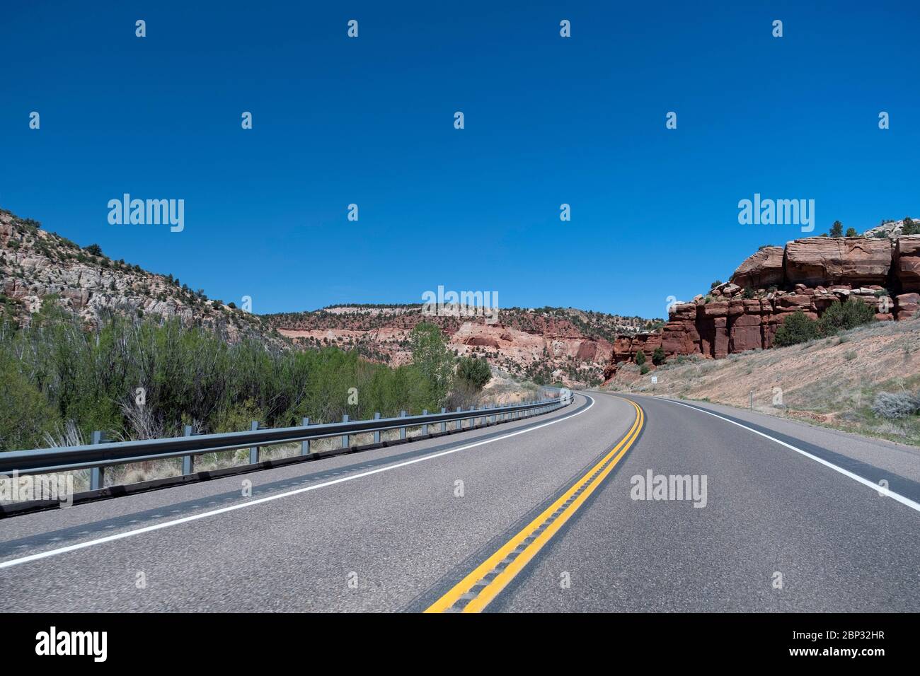 Blick auf die Landschaft am Utah Highway 89 in Kane County, Utah Stockfotohttps://www.alamy.de/image-license-details/?v=1https://www.alamy.de/blick-auf-die-landschaft-am-utah-highway-89-in-kane-county-utah-image357797715.html
RF2BP32HR–Blick auf die Landschaft am Utah Highway 89 in Kane County, Utah
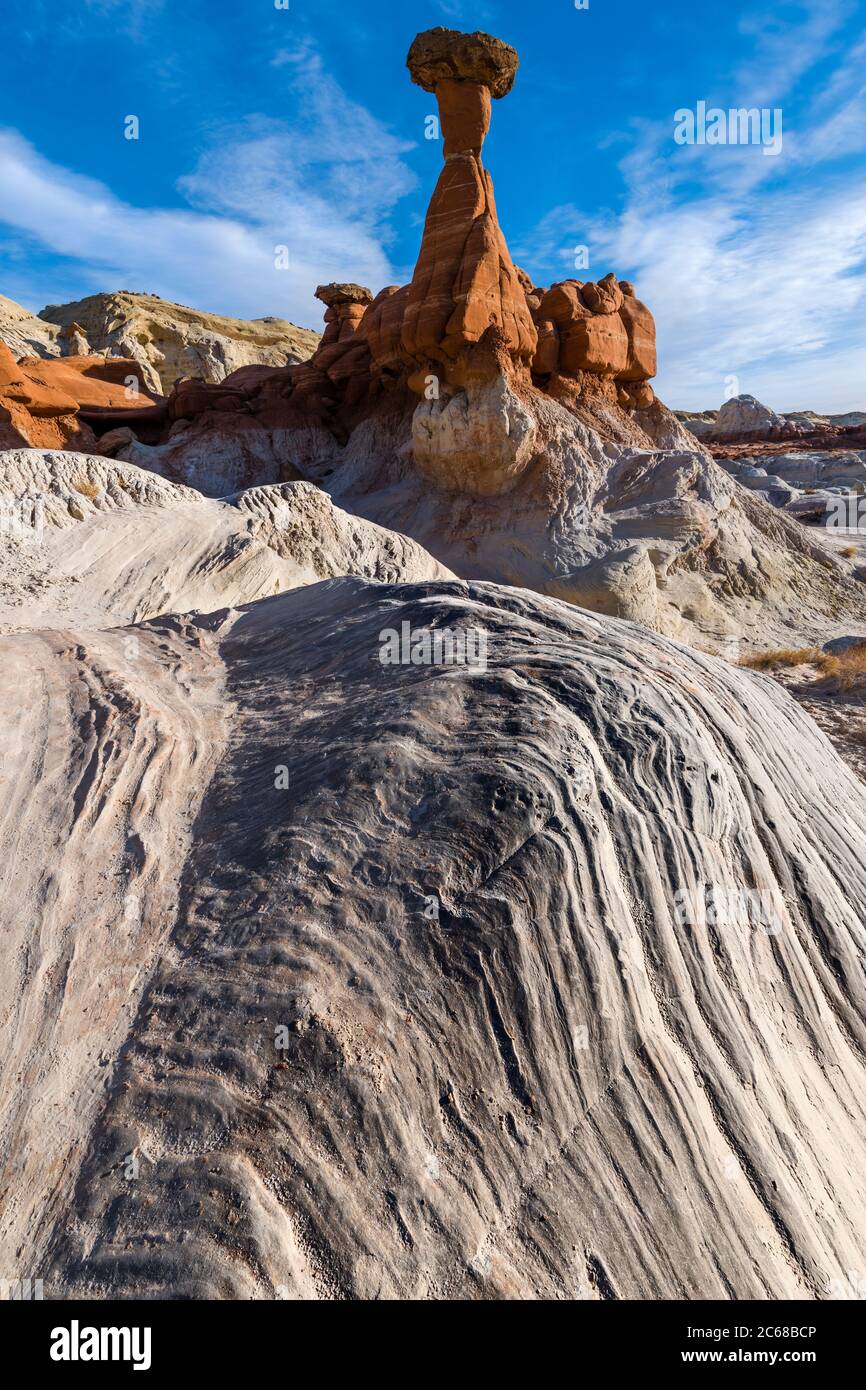 Ansicht der Toadhocker Hoodoo Formation, Kane County, Utah, USA Stockfotohttps://www.alamy.de/image-license-details/?v=1https://www.alamy.de/ansicht-der-toadhocker-hoodoo-formation-kane-county-utah-usa-image365290262.html
RM2C68BCP–Ansicht der Toadhocker Hoodoo Formation, Kane County, Utah, USA
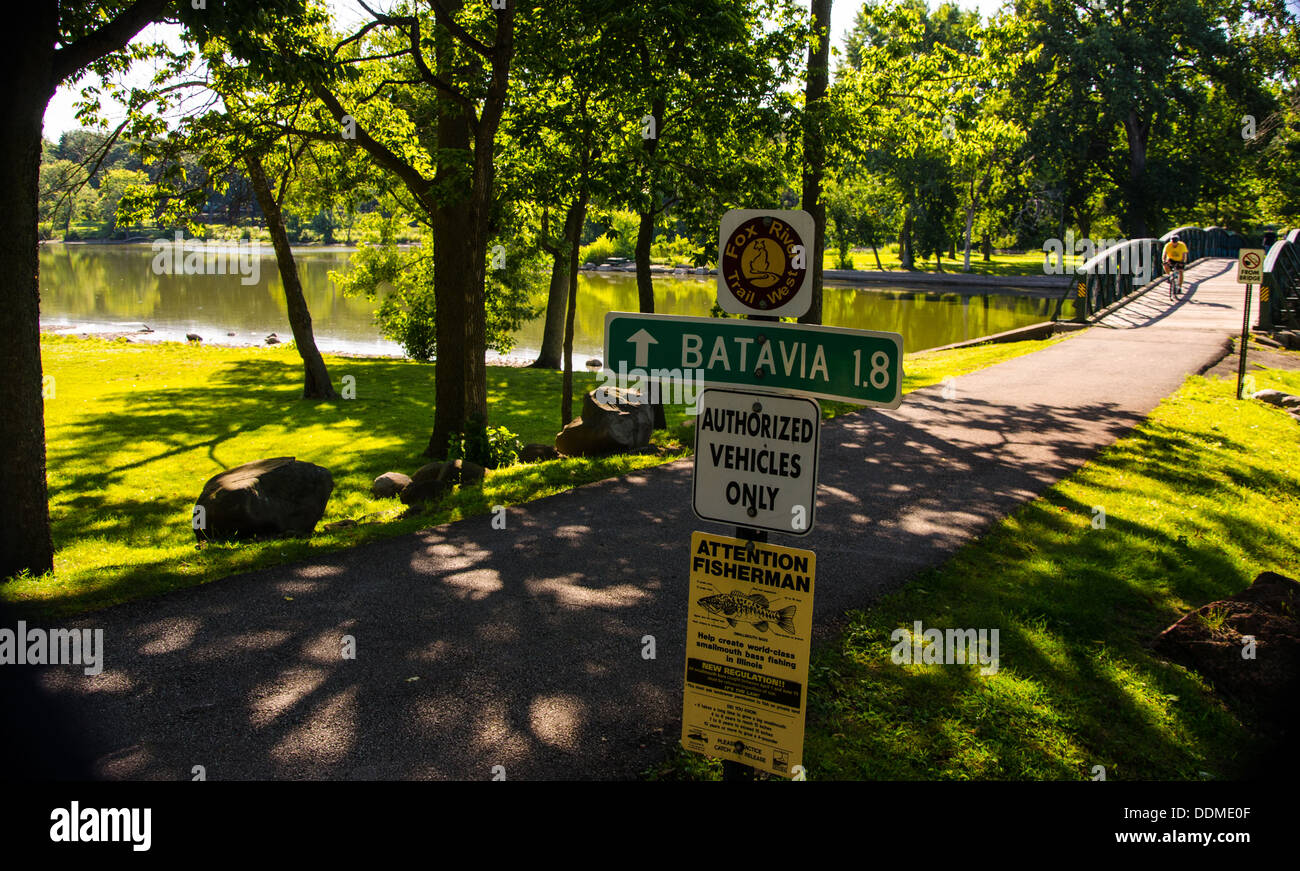 Radfahrer am Fox River Trail in der Kane County Forest Preserve in der Nähe von Batavia, Illinois Stockfotohttps://www.alamy.de/image-license-details/?v=1https://www.alamy.de/radfahrer-am-fox-river-trail-in-der-kane-county-forest-preserve-in-der-nahe-von-batavia-illinois-image60071663.html
RMDDME0F–Radfahrer am Fox River Trail in der Kane County Forest Preserve in der Nähe von Batavia, Illinois
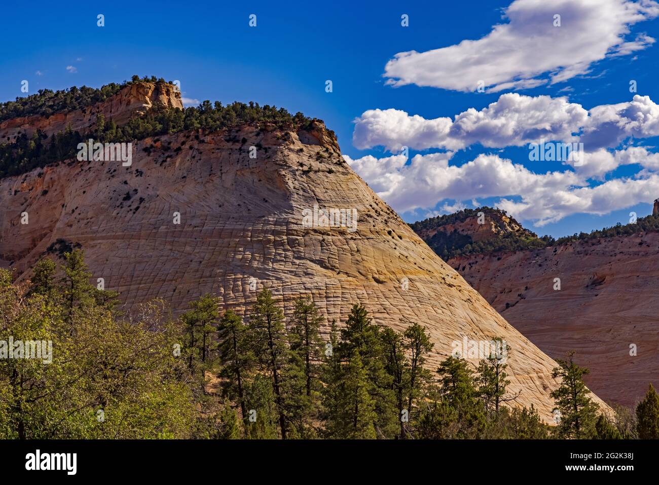 Dies ist ein Blick auf das bekannte Wahrzeichen, bekannt als Checkerboad Mesa auf der Ostseite des Zion National Park, Springdale, Kane County, Utah, USA. Stockfotohttps://www.alamy.de/image-license-details/?v=1https://www.alamy.de/dies-ist-ein-blick-auf-das-bekannte-wahrzeichen-bekannt-als-checkerboad-mesa-auf-der-ostseite-des-zion-national-park-springdale-kane-county-utah-usa-image431908194.html
RM2G2K38J–Dies ist ein Blick auf das bekannte Wahrzeichen, bekannt als Checkerboad Mesa auf der Ostseite des Zion National Park, Springdale, Kane County, Utah, USA.
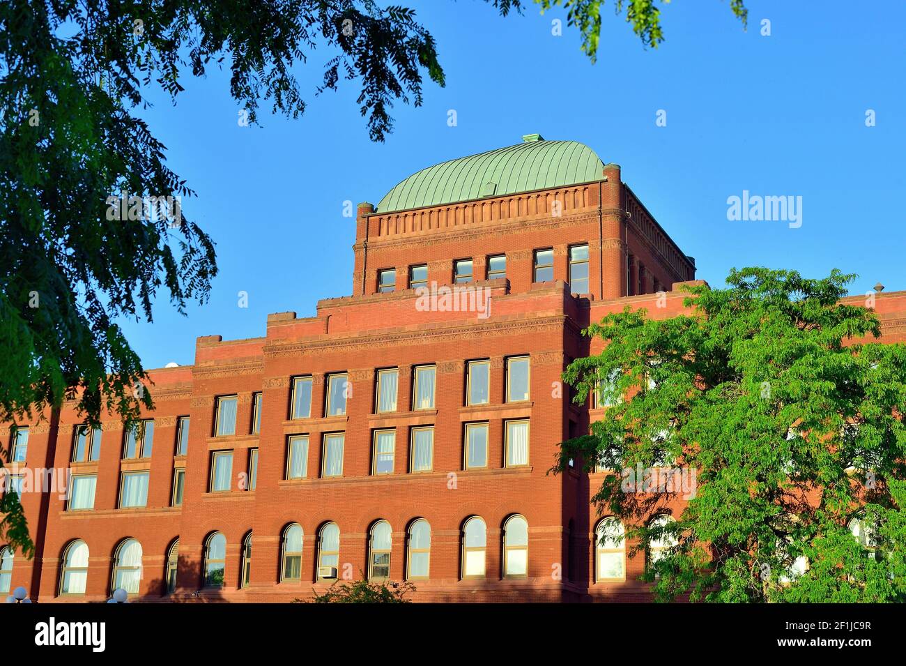 Genf, Illinois, USA. Das Kane County Courthouse stammt aus dem Jahr 1890s und ist eines der größten in Illinois. Stockfotohttps://www.alamy.de/image-license-details/?v=1https://www.alamy.de/genf-illinois-usa-das-kane-county-courthouse-stammt-aus-dem-jahr-1890s-und-ist-eines-der-grossten-in-illinois-image414068307.html
RF2F1JC9R–Genf, Illinois, USA. Das Kane County Courthouse stammt aus dem Jahr 1890s und ist eines der größten in Illinois.
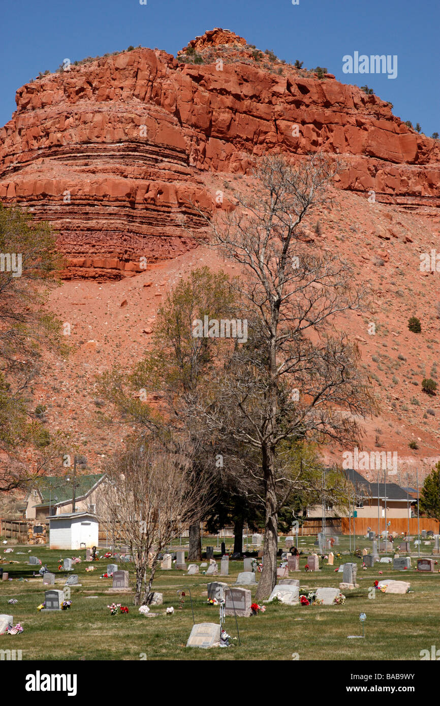 der Friedhof in Kanab Kane County Utah usa Stockfotohttps://www.alamy.de/image-license-details/?v=1https://www.alamy.de/stockfoto-der-friedhof-in-kanab-kane-county-utah-usa-23606183.html
RMBAB9WY–der Friedhof in Kanab Kane County Utah usa
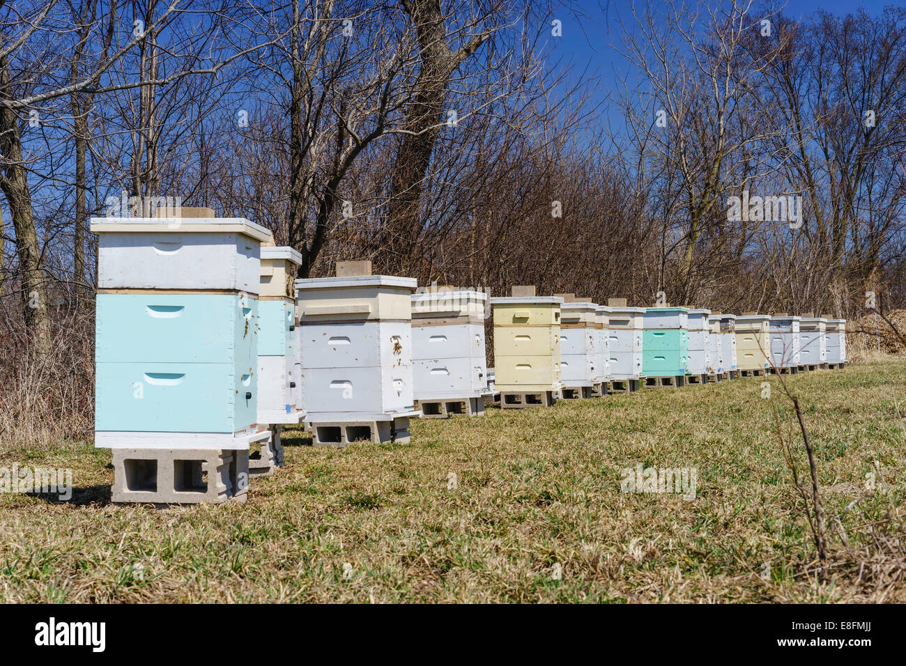 Bienenstöcke in der Gegend von einem Obstgarten, St. Charles, Kane County, Illinois, USA Stockfotohttps://www.alamy.de/image-license-details/?v=1https://www.alamy.de/stockfoto-bienenstocke-in-der-gegend-von-einem-obstgarten-st-charles-kane-county-illinois-usa-74104202.html
RFE8FMJJ–Bienenstöcke in der Gegend von einem Obstgarten, St. Charles, Kane County, Illinois, USA
 Wahweap Hoodoos bei Sonnenaufgang, Grand Staircase-Escalante National Monument, Kane County, Utah Stockfotohttps://www.alamy.de/image-license-details/?v=1https://www.alamy.de/wahweap-hoodoos-bei-sonnenaufgang-grand-staircase-escalante-national-monument-kane-county-utah-image367774451.html
RM2CA9G1R–Wahweap Hoodoos bei Sonnenaufgang, Grand Staircase-Escalante National Monument, Kane County, Utah
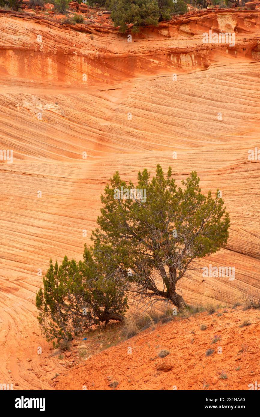 Juniper entlang des Moqui Sand Caves Trail, Kane County, Utah Stockfotohttps://www.alamy.de/image-license-details/?v=1https://www.alamy.de/juniper-entlang-des-moqui-sand-caves-trail-kane-county-utah-image605290616.html
RF2X4NAA0–Juniper entlang des Moqui Sand Caves Trail, Kane County, Utah
 USA, Utah, Kane County, Kanab, Johnson Canyon, Swapp Canyon Stockfotohttps://www.alamy.de/image-license-details/?v=1https://www.alamy.de/usa-utah-kane-county-kanab-johnson-canyon-swapp-canyon-image354869438.html
RM2BH9KGE–USA, Utah, Kane County, Kanab, Johnson Canyon, Swapp Canyon
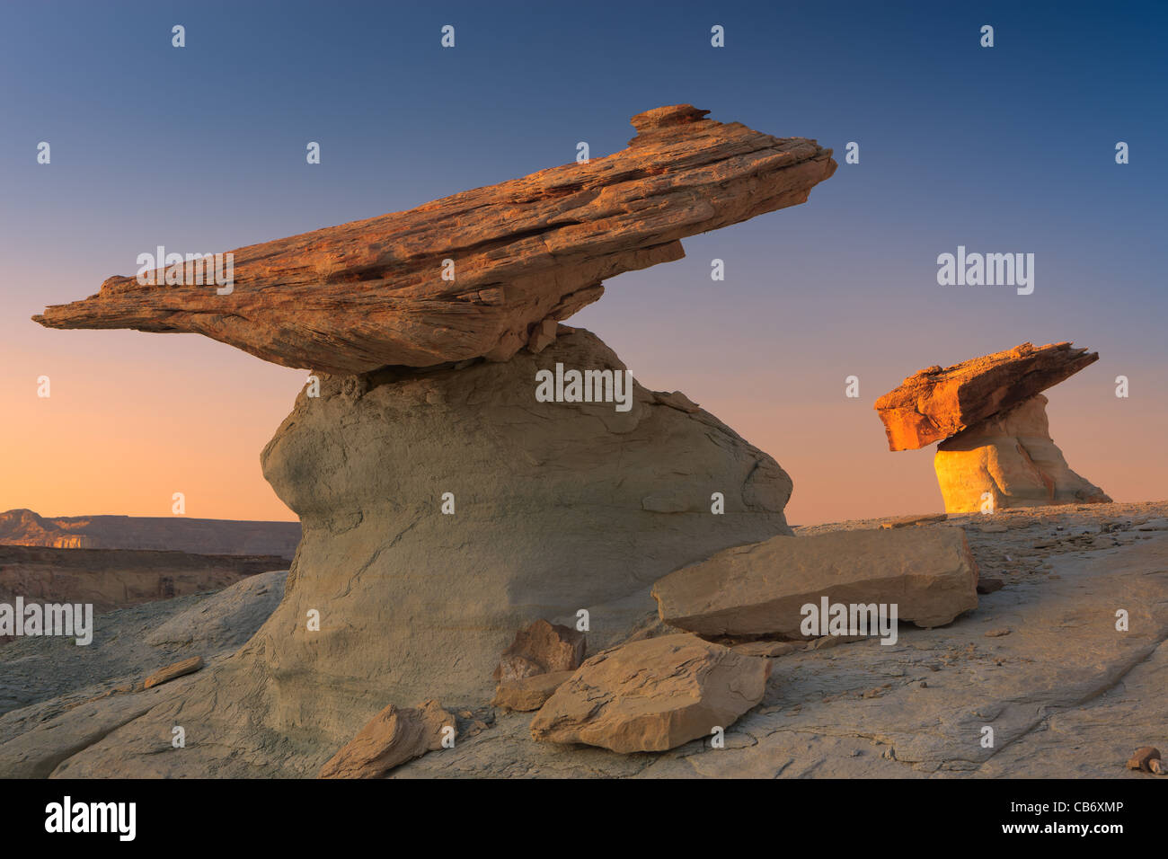 Stud Horse Point, Kanab, Kane County, Utah Stockfotohttps://www.alamy.de/image-license-details/?v=1https://www.alamy.de/stockfoto-stud-horse-point-kanab-kane-county-utah-41334630.html
RMCB6XMP–Stud Horse Point, Kanab, Kane County, Utah
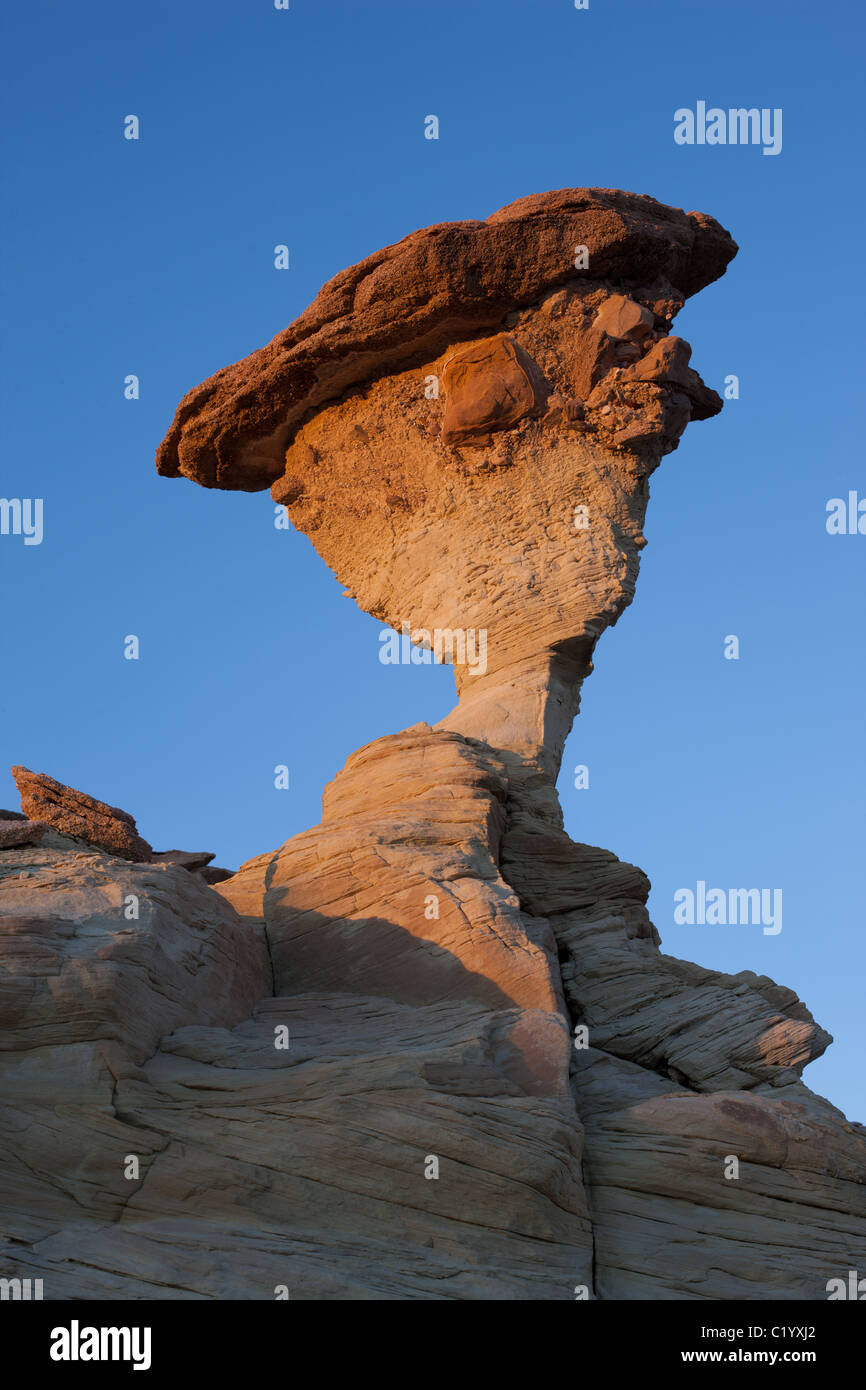 Auf dem Colorado Plateau sind ausgewogene Felsen, die den Gesetzen der Schwerkraft trotzen, reichlich vorhanden. Dieses Hotel befindet sich in der Nähe von Church Well, Kane County, Utah, USA. Stockfotohttps://www.alamy.de/image-license-details/?v=1https://www.alamy.de/stockfoto-auf-dem-colorado-plateau-sind-ausgewogene-felsen-die-den-gesetzen-der-schwerkraft-trotzen-reichlich-vorhanden-dieses-hotel-befindet-sich-in-der-nahe-von-church-well-kane-county-utah-usa-35648986.html
RMC1YXJ2–Auf dem Colorado Plateau sind ausgewogene Felsen, die den Gesetzen der Schwerkraft trotzen, reichlich vorhanden. Dieses Hotel befindet sich in der Nähe von Church Well, Kane County, Utah, USA.
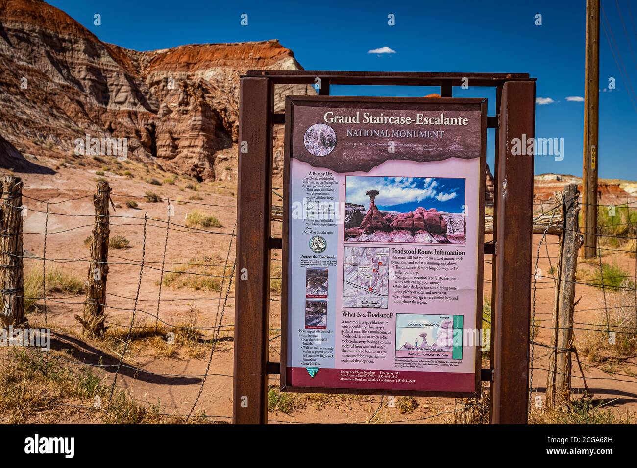 Kane County, Utah / USA - 12. Juni 2020: Das National Park Service Schild markiert den Eingang zum Toadhocker Trail, Teil von Grand Staircase - Escalan Stockfotohttps://www.alamy.de/image-license-details/?v=1https://www.alamy.de/kane-county-utah-usa-12-juni-2020-das-national-park-service-schild-markiert-den-eingang-zum-toadhocker-trail-teil-von-grand-staircase-escalan-image371476689.html
RF2CGA68H–Kane County, Utah / USA - 12. Juni 2020: Das National Park Service Schild markiert den Eingang zum Toadhocker Trail, Teil von Grand Staircase - Escalan
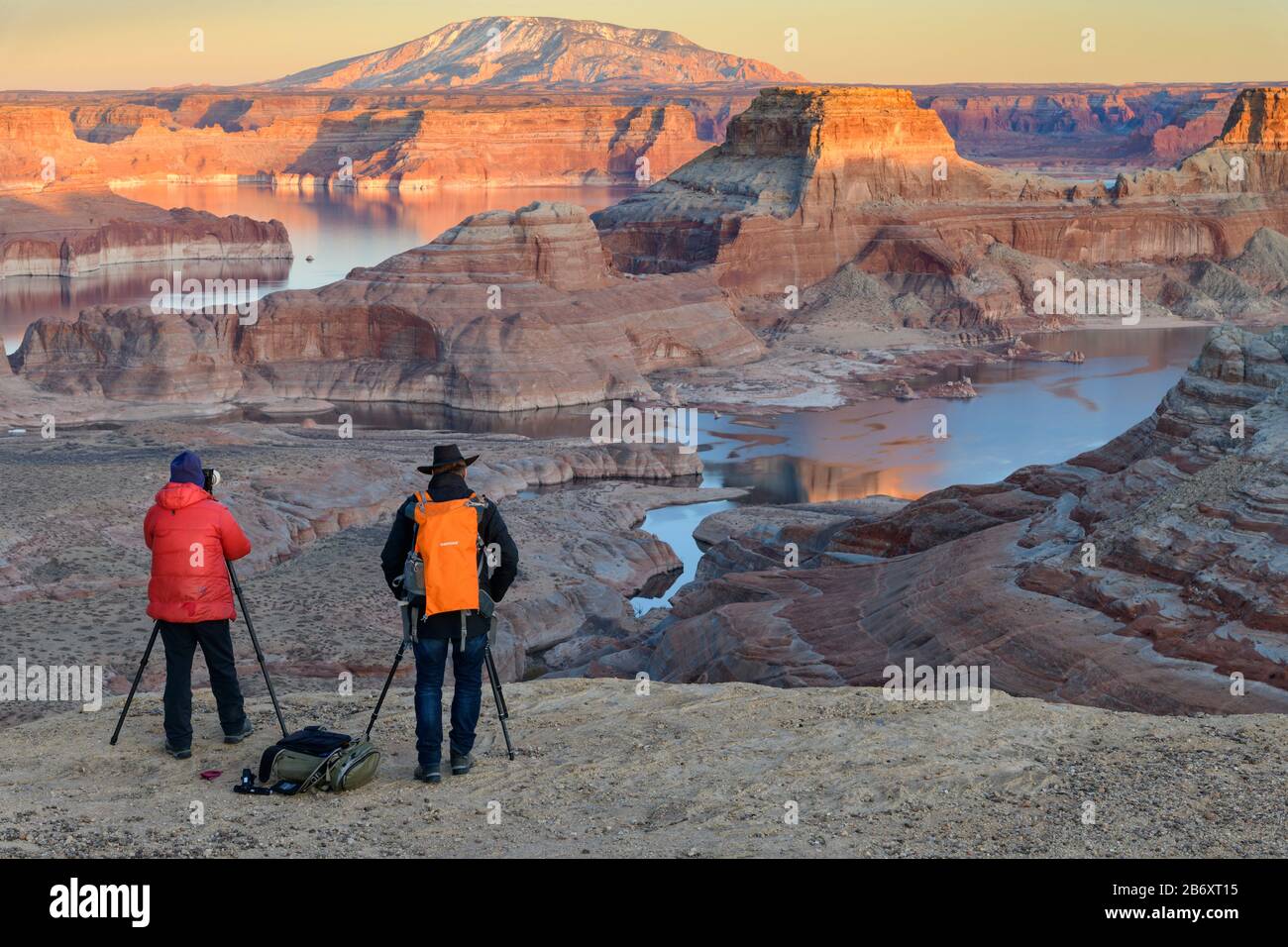 USA, Southwest, Colorado Plateau, Utah, Kane County, Big Water, Glen Canyon National Recreation Area, Alstrom Point Stockfotohttps://www.alamy.de/image-license-details/?v=1https://www.alamy.de/usa-southwest-colorado-plateau-utah-kane-county-big-water-glen-canyon-national-recreation-area-alstrom-point-image348484897.html
RM2B6XT15–USA, Southwest, Colorado Plateau, Utah, Kane County, Big Water, Glen Canyon National Recreation Area, Alstrom Point
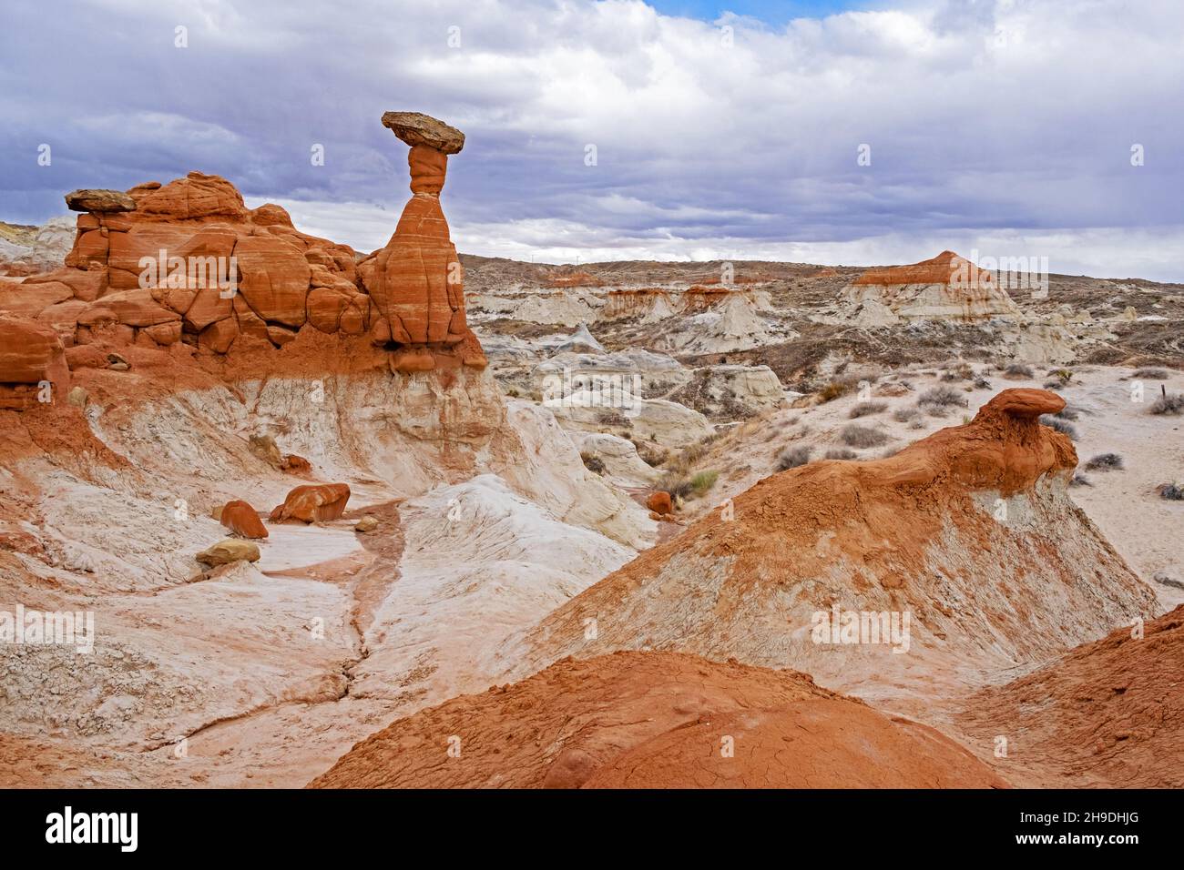 Hoodoos am Grand Staircase–Escalante National Monument entlang der US-89 zwischen Page und Kanab, Kane County, Utah, USA Stockfotohttps://www.alamy.de/image-license-details/?v=1https://www.alamy.de/hoodoos-am-grand-staircaseescalante-national-monument-entlang-der-us-89-zwischen-page-und-kanab-kane-county-utah-usa-image453300696.html
RM2H9DHJG–Hoodoos am Grand Staircase–Escalante National Monument entlang der US-89 zwischen Page und Kanab, Kane County, Utah, USA
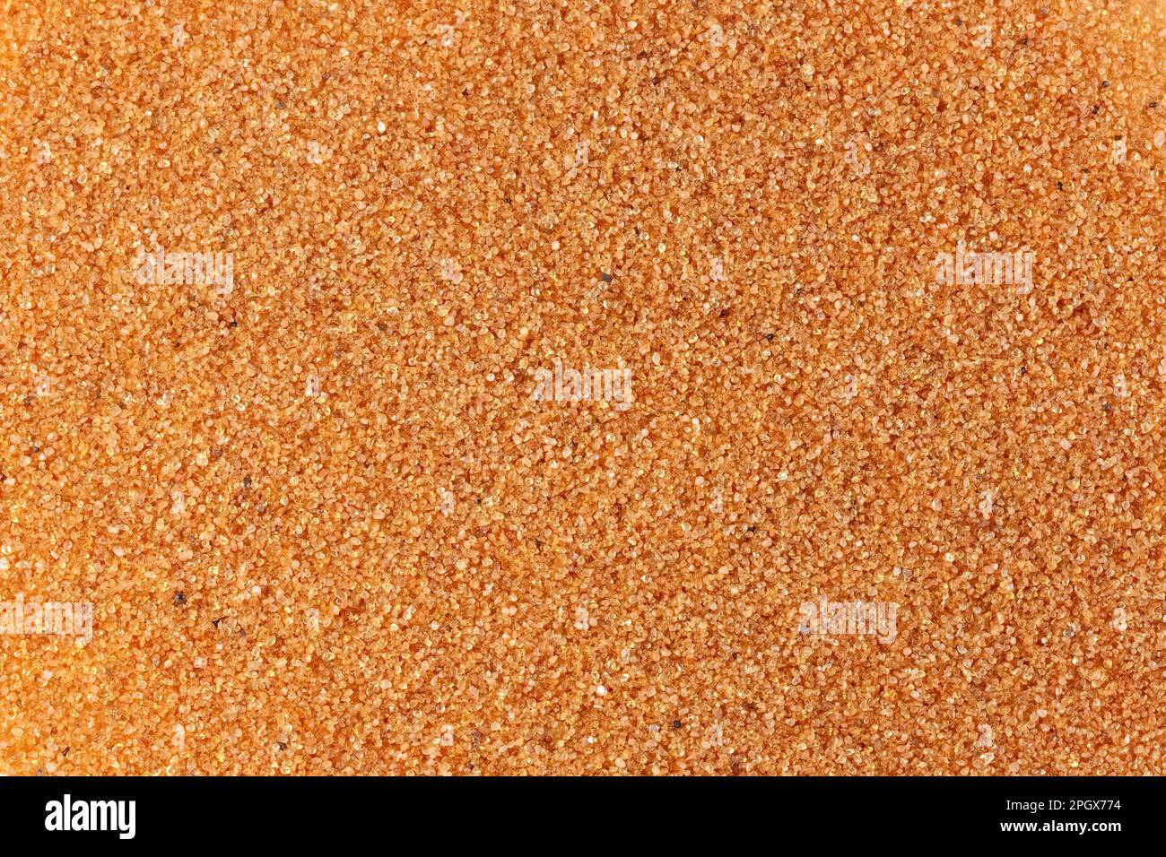 Quarzsand aus Navajo Sandstone, Kane County, Utah. Navajo Sandstein stammt aus der Juassic-Zeit, Hämatit überzieht den Quarz und verleiht ihm eine Sandfarbe. Stockfotohttps://www.alamy.de/image-license-details/?v=1https://www.alamy.de/quarzsand-aus-navajo-sandstone-kane-county-utah-navajo-sandstein-stammt-aus-der-juassic-zeit-hamatit-uberzieht-den-quarz-und-verleiht-ihm-eine-sandfarbe-image543932344.html
RM2PGX774–Quarzsand aus Navajo Sandstone, Kane County, Utah. Navajo Sandstein stammt aus der Juassic-Zeit, Hämatit überzieht den Quarz und verleiht ihm eine Sandfarbe.
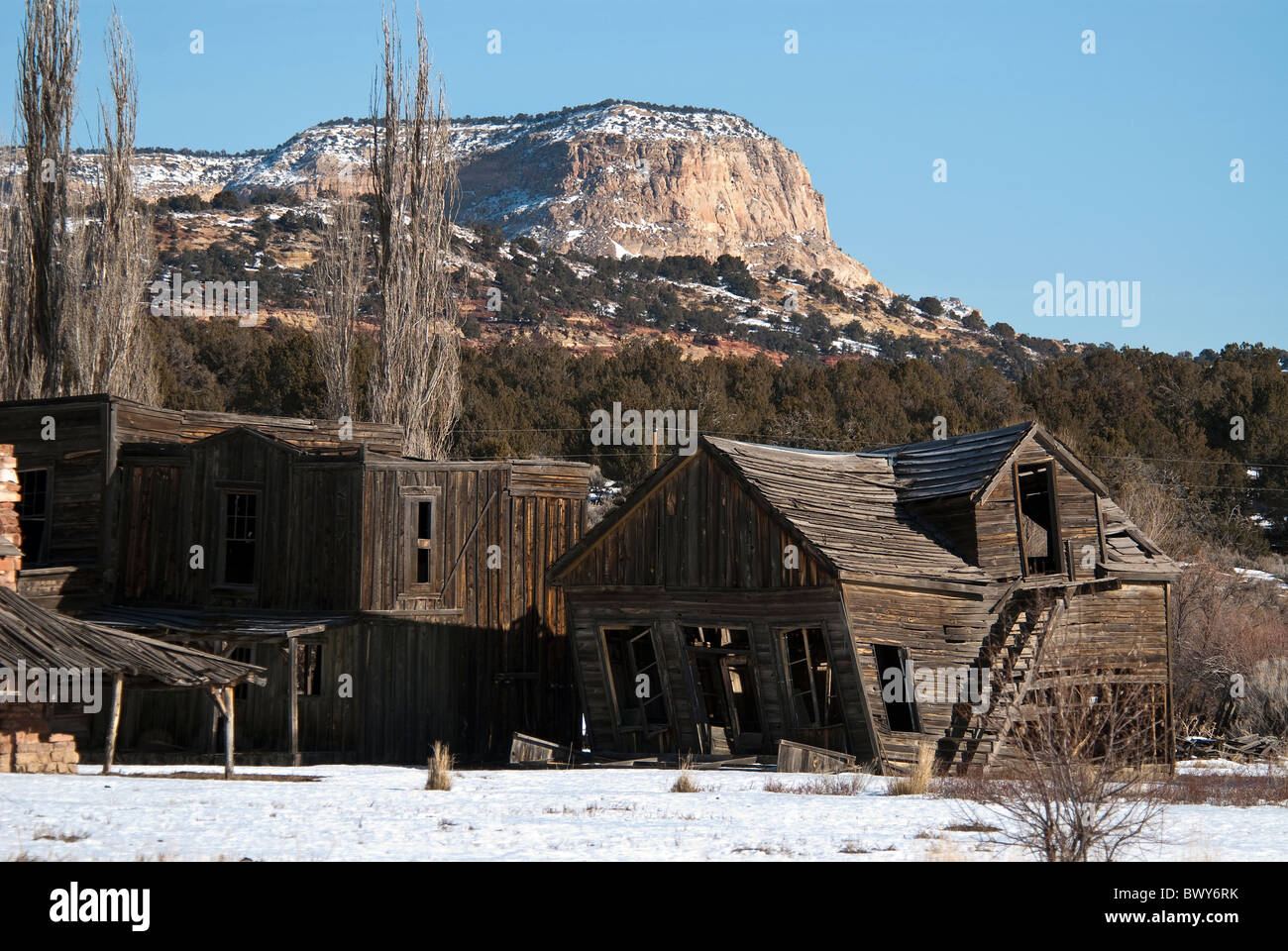 Rauchende Colts Film-Set Johnson Canyon Kane County Utah USA Stockfotohttps://www.alamy.de/image-license-details/?v=1https://www.alamy.de/stockfoto-rauchende-colts-film-set-johnson-canyon-kane-county-utah-usa-33174839.html
RMBWY6RK–Rauchende Colts Film-Set Johnson Canyon Kane County Utah USA
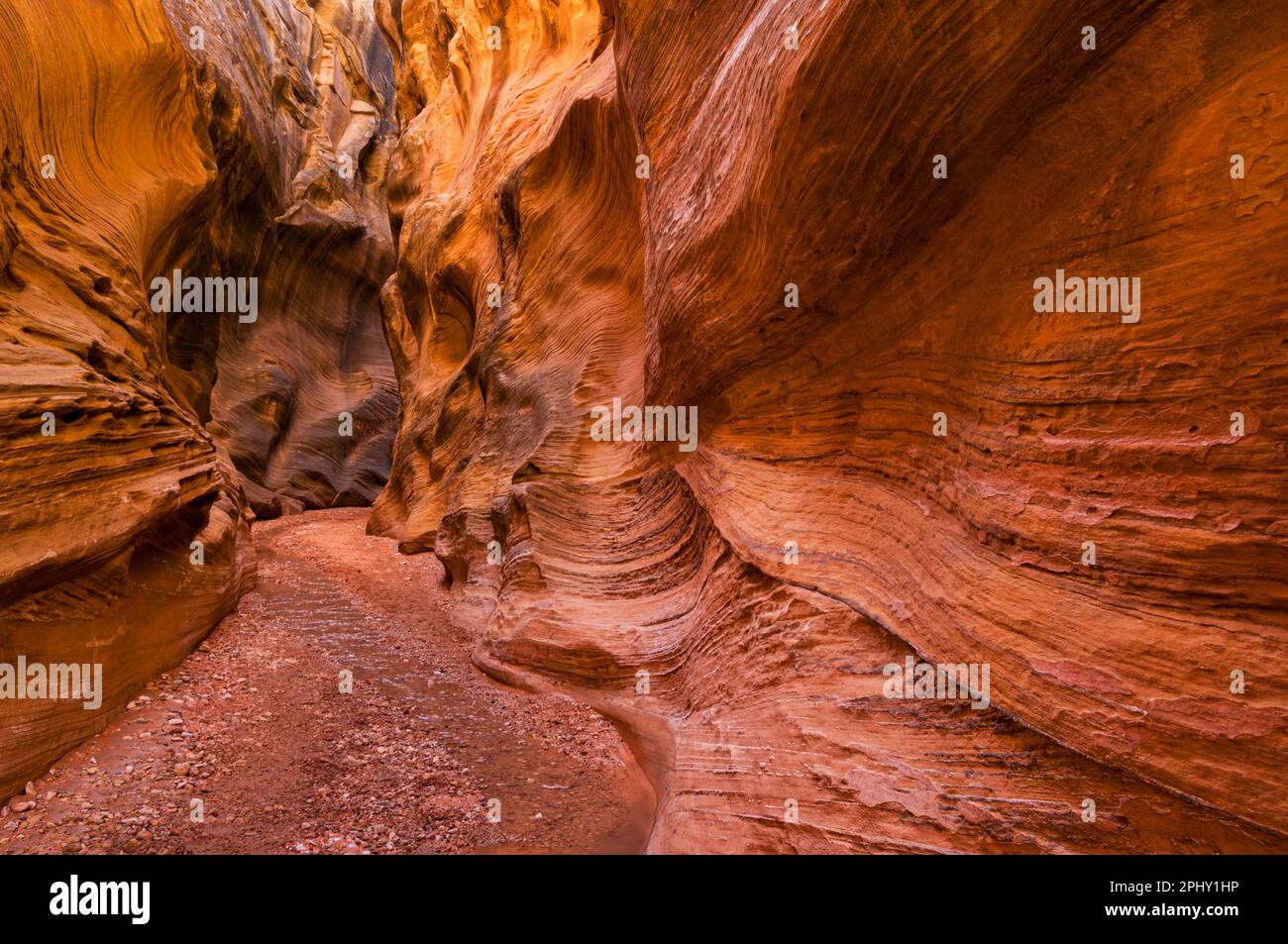 Grand Staircase Escalante erodierte Enrada Sandstein Schlucht Willis Creek Narrows Grand Staircase-Escalante National Monument Kane County Utah USA Stockfotohttps://www.alamy.de/image-license-details/?v=1https://www.alamy.de/grand-staircase-escalante-erodierte-enrada-sandstein-schlucht-willis-creek-narrows-grand-staircase-escalante-national-monument-kane-county-utah-usa-image544564546.html
RM2PHY1HP–Grand Staircase Escalante erodierte Enrada Sandstein Schlucht Willis Creek Narrows Grand Staircase-Escalante National Monument Kane County Utah USA
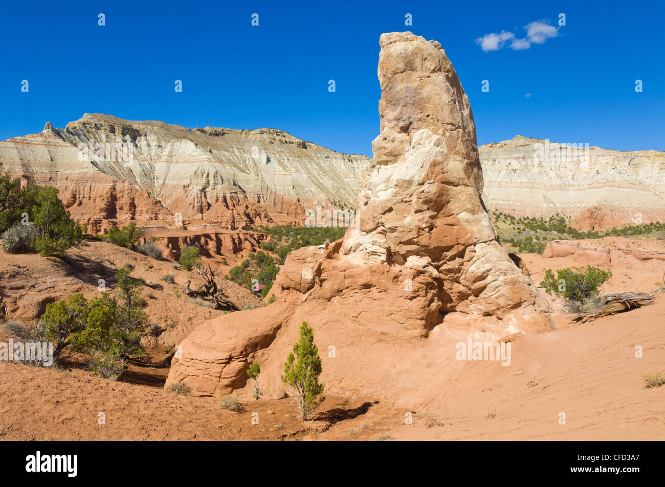 Eine sedimentäre Rohr, Kodachrome Basin State Park, Grand Staircase-Escalante National Monument, Kane County, Utah, USA Stockfotohttps://www.alamy.de/image-license-details/?v=1https://www.alamy.de/stockfoto-eine-sedimentare-rohr-kodachrome-basin-state-park-grand-staircase-escalante-national-monument-kane-county-utah-usa-43928591.html
RFCFD3A7–Eine sedimentäre Rohr, Kodachrome Basin State Park, Grand Staircase-Escalante National Monument, Kane County, Utah, USA
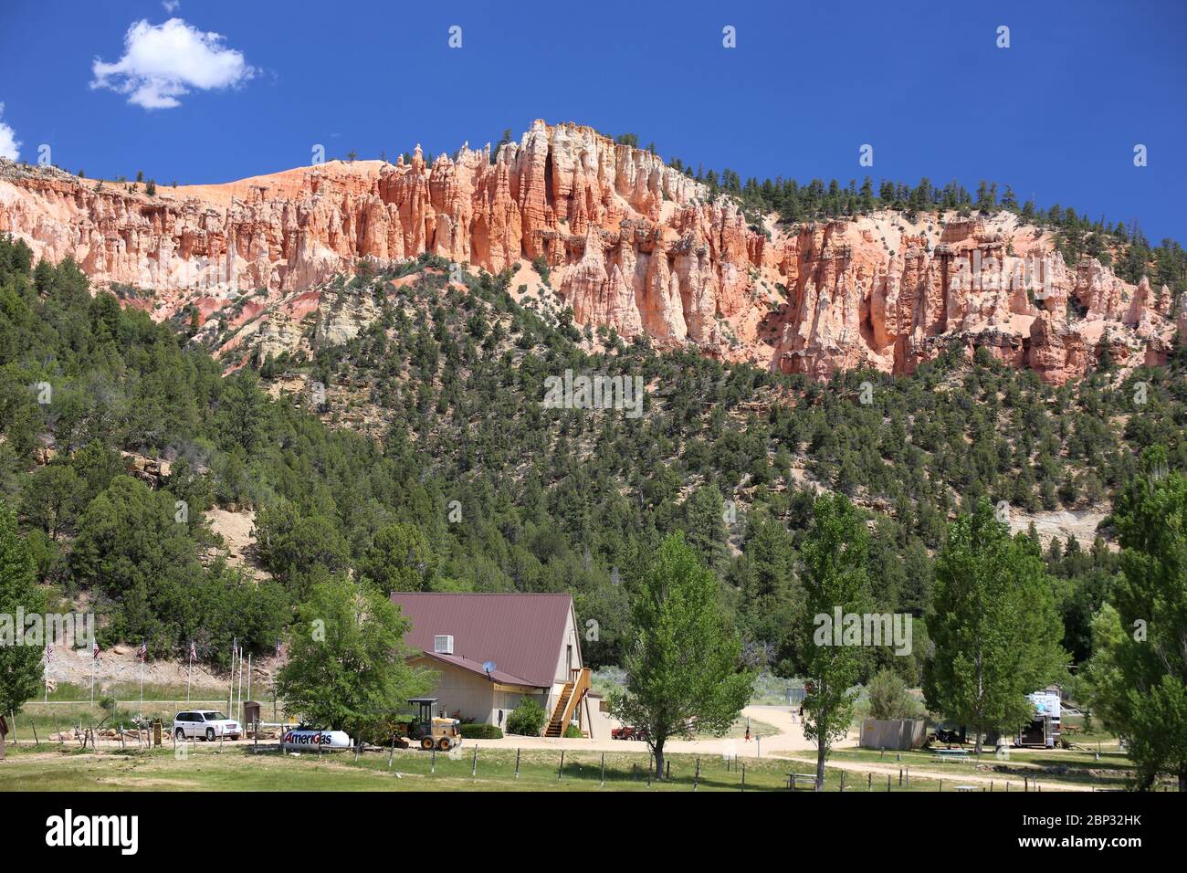 Blick auf rosafarbene Hoodoo-Felsformationen in Kane County, Utah Stockfotohttps://www.alamy.de/image-license-details/?v=1https://www.alamy.de/blick-auf-rosafarbene-hoodoo-felsformationen-in-kane-county-utah-image357797711.html
RF2BP32HK–Blick auf rosafarbene Hoodoo-Felsformationen in Kane County, Utah
 Weidemeyer des Admirals Limenitis Weidemeyerii südlich von Tropic Reservoir, Kane County, Utah, USA 26 Juni Erwachsene Stockfotohttps://www.alamy.de/image-license-details/?v=1https://www.alamy.de/stockfoto-weidemeyer-des-admirals-limenitis-weidemeyerii-sudlich-von-tropic-reservoir-kane-county-utah-usa-26-juni-erwachsene-84880352.html
RMEX2HN4–Weidemeyer des Admirals Limenitis Weidemeyerii südlich von Tropic Reservoir, Kane County, Utah, USA 26 Juni Erwachsene
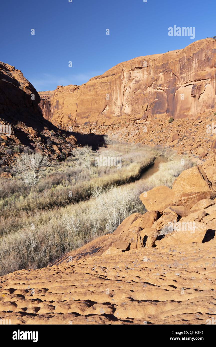 Escalante River Flowing Sandstone Canyon, Glen Canyon National Recreation Area, Kane County, Utah, USA Stockfotohttps://www.alamy.de/image-license-details/?v=1https://www.alamy.de/escalante-river-flowing-sandstone-canyon-glen-canyon-national-recreation-area-kane-county-utah-usa-image467513851.html
RM2J4H2K7–Escalante River Flowing Sandstone Canyon, Glen Canyon National Recreation Area, Kane County, Utah, USA
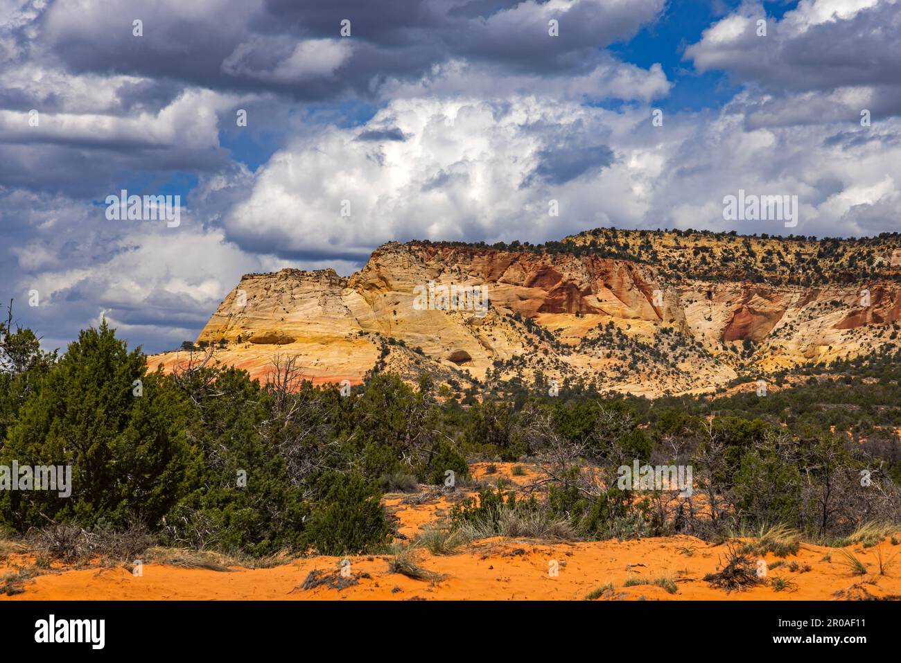 Ein Blick auf Diana's Throne, ein spektakuläres mesa, das auf dem BLM-Land entlang der U.S. 89 etwa 4 km südöstlich von Mt. Carmel Junction, Kane County, Utah, USA. Stockfotohttps://www.alamy.de/image-license-details/?v=1https://www.alamy.de/ein-blick-auf-dianas-throne-ein-spektakulares-mesa-das-auf-dem-blm-land-entlang-der-us-89-etwa-4-km-sudostlich-von-mt-carmel-junction-kane-county-utah-usa-image550963085.html
RM2R0AF11–Ein Blick auf Diana's Throne, ein spektakuläres mesa, das auf dem BLM-Land entlang der U.S. 89 etwa 4 km südöstlich von Mt. Carmel Junction, Kane County, Utah, USA.
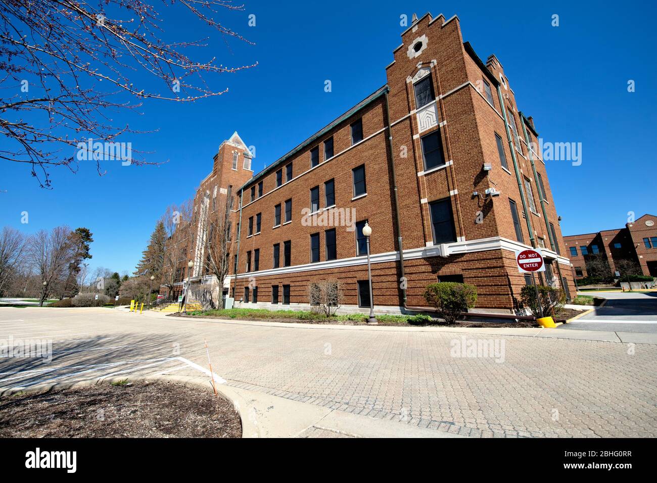 Genf, Illinois, USA. Ein völlig verlassener Kane County Government Center Komplex in der westlichen Vorstadtgemeinde von Chicago in Genf. Stockfotohttps://www.alamy.de/image-license-details/?v=1https://www.alamy.de/genf-illinois-usa-ein-vollig-verlassener-kane-county-government-center-komplex-in-der-westlichen-vorstadtgemeinde-von-chicago-in-genf-image355008411.html
RF2BHG0RR–Genf, Illinois, USA. Ein völlig verlassener Kane County Government Center Komplex in der westlichen Vorstadtgemeinde von Chicago in Genf.
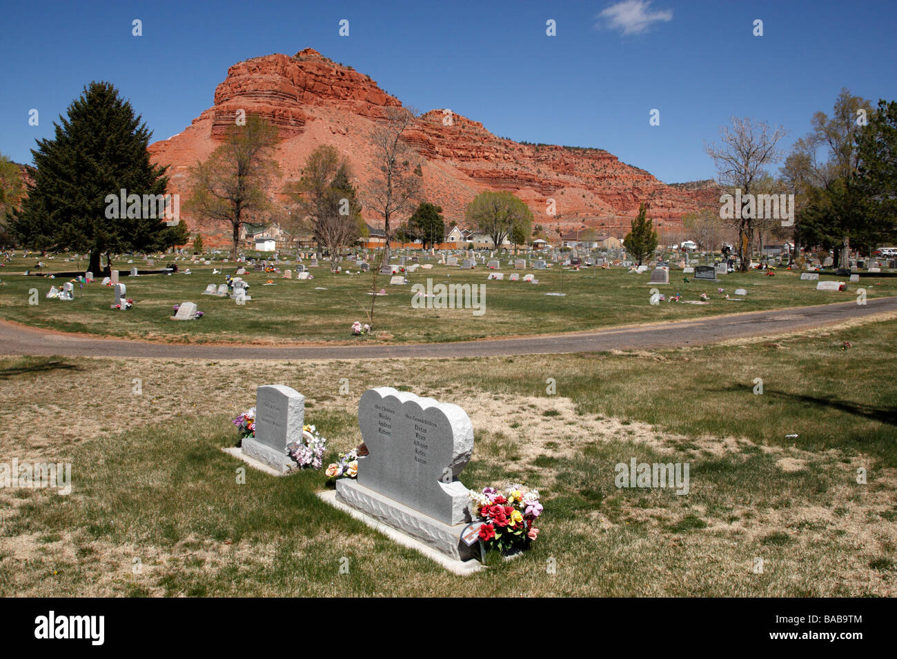 der Friedhof in Kanab Kane County Utah usa Stockfotohttps://www.alamy.de/image-license-details/?v=1https://www.alamy.de/stockfoto-der-friedhof-in-kanab-kane-county-utah-usa-23606148.html
RMBAB9TM–der Friedhof in Kanab Kane County Utah usa
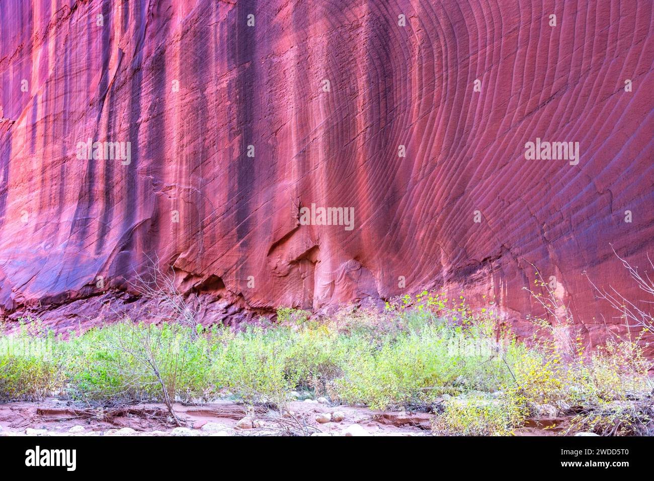 Vertikaler Erodierter Hintergrund Der Red Rock Wall, Berühmter Buscksin Gulch Slot Canyon. Landschaftlich reizvolle Wüstenlandschaft Green Grass, Kane County Utah Südwesten der USA Stockfotohttps://www.alamy.de/image-license-details/?v=1https://www.alamy.de/vertikaler-erodierter-hintergrund-der-red-rock-wall-beruhmter-buscksin-gulch-slot-canyon-landschaftlich-reizvolle-wustenlandschaft-green-grass-kane-county-utah-sudwesten-der-usa-image593433008.html
RF2WDD5T0–Vertikaler Erodierter Hintergrund Der Red Rock Wall, Berühmter Buscksin Gulch Slot Canyon. Landschaftlich reizvolle Wüstenlandschaft Green Grass, Kane County Utah Südwesten der USA
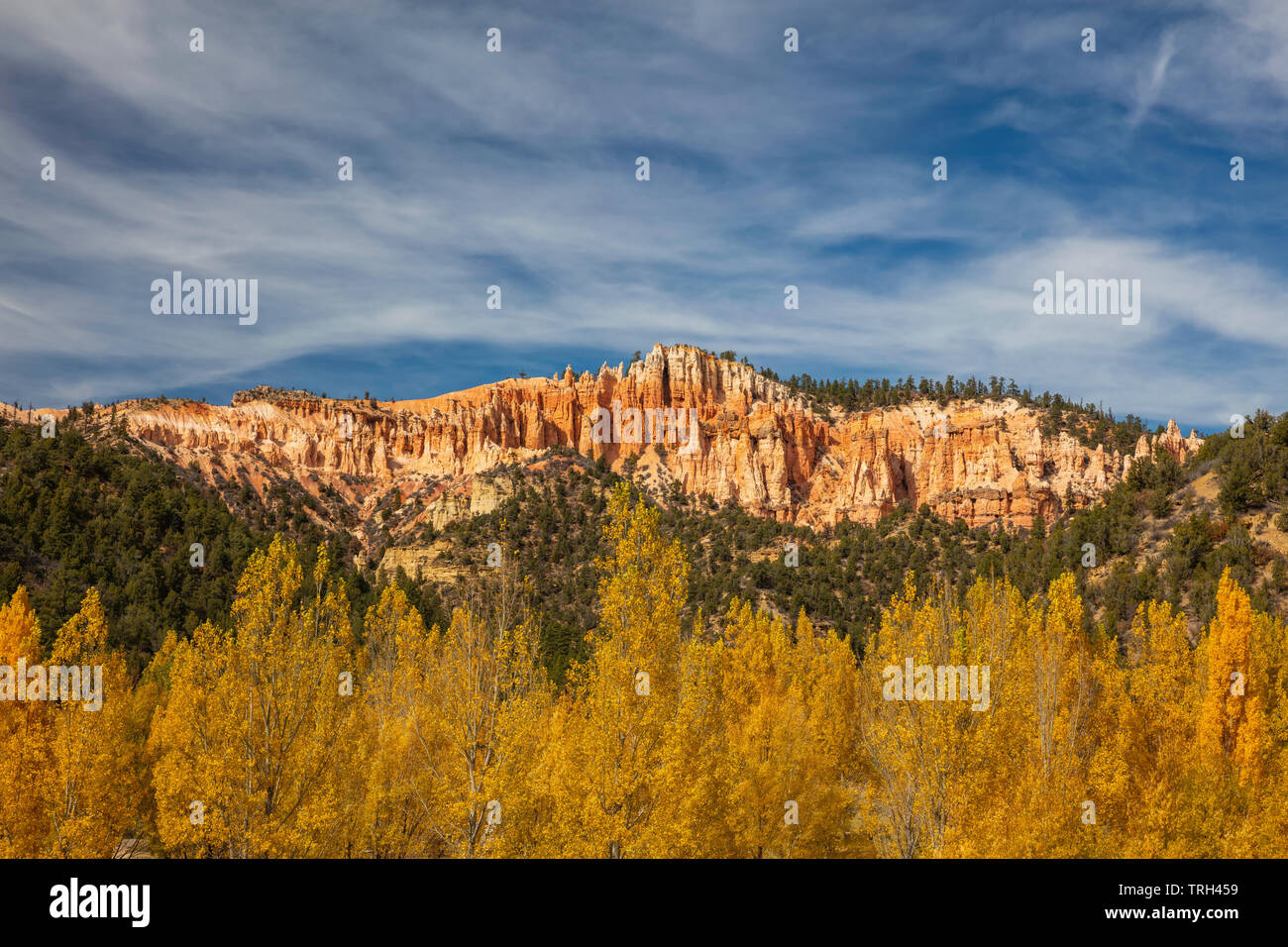 Goldene Laub entlang der Autobahn 89 in der Nähe von Glendale im Herbst, Kane County, Utah Stockfotohttps://www.alamy.de/image-license-details/?v=1https://www.alamy.de/goldene-laub-entlang-der-autobahn-89-in-der-nahe-von-glendale-im-herbst-kane-county-utah-image255458709.html
RMTRH459–Goldene Laub entlang der Autobahn 89 in der Nähe von Glendale im Herbst, Kane County, Utah
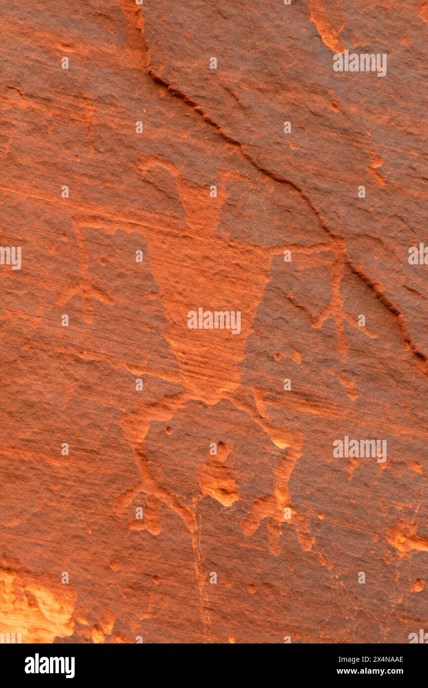 Petroglyph entlang des Moqui Sand Caves Trail, Kane County, Utah Stockfotohttps://www.alamy.de/image-license-details/?v=1https://www.alamy.de/petroglyph-entlang-des-moqui-sand-caves-trail-kane-county-utah-image605290630.html
RF2X4NAAE–Petroglyph entlang des Moqui Sand Caves Trail, Kane County, Utah
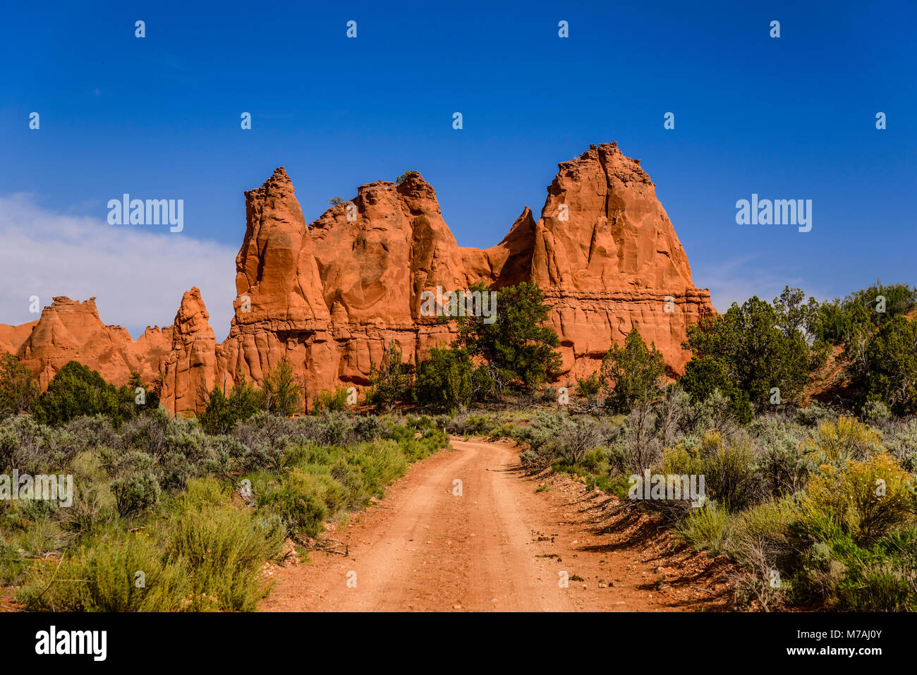 Die USA, Utah, Kane County, Kodachrome Basin State Park, Schotterstrasse Stockfotohttps://www.alamy.de/image-license-details/?v=1https://www.alamy.de/stockfoto-die-usa-utah-kane-county-kodachrome-basin-state-park-schotterstrasse-176639931.html
RMM7AJ0Y–Die USA, Utah, Kane County, Kodachrome Basin State Park, Schotterstrasse
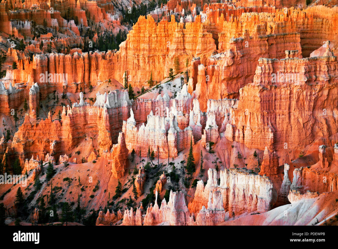 Die hoch aufragenden hoodoos Glühen am bürgerlichen Dämmerung vom Sunset Point in Utah Bryce Canyon National Park. Stockfotohttps://www.alamy.de/image-license-details/?v=1https://www.alamy.de/die-hoch-aufragenden-hoodoos-gluhen-am-burgerlichen-dammerung-vom-sunset-point-in-utah-bryce-canyon-national-park-image214842499.html
RMPDEWPB–Die hoch aufragenden hoodoos Glühen am bürgerlichen Dämmerung vom Sunset Point in Utah Bryce Canyon National Park.
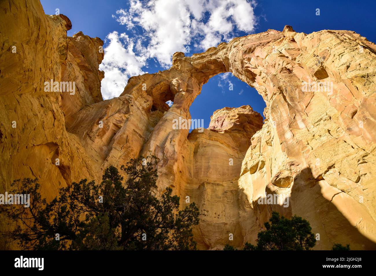 Grand Staircase-Escalante National Monument, Utah, Grosvenor Arch Stockfotohttps://www.alamy.de/image-license-details/?v=1https://www.alamy.de/grand-staircase-escalante-national-monument-utah-grosvenor-arch-image474889696.html
RM2JGH2J8–Grand Staircase-Escalante National Monument, Utah, Grosvenor Arch
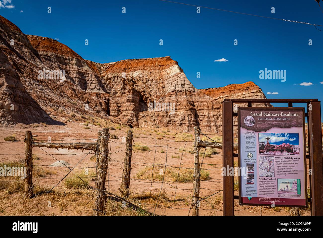 Kane County, Utah / USA - 12. Juni 2020: Das National Park Service Schild markiert den Eingang zum Toadhocker Trail, Teil von Grand Staircase - Escalan Stockfotohttps://www.alamy.de/image-license-details/?v=1https://www.alamy.de/kane-county-utah-usa-12-juni-2020-das-national-park-service-schild-markiert-den-eingang-zum-toadhocker-trail-teil-von-grand-staircase-escalan-image371476715.html
RF2CGA69F–Kane County, Utah / USA - 12. Juni 2020: Das National Park Service Schild markiert den Eingang zum Toadhocker Trail, Teil von Grand Staircase - Escalan
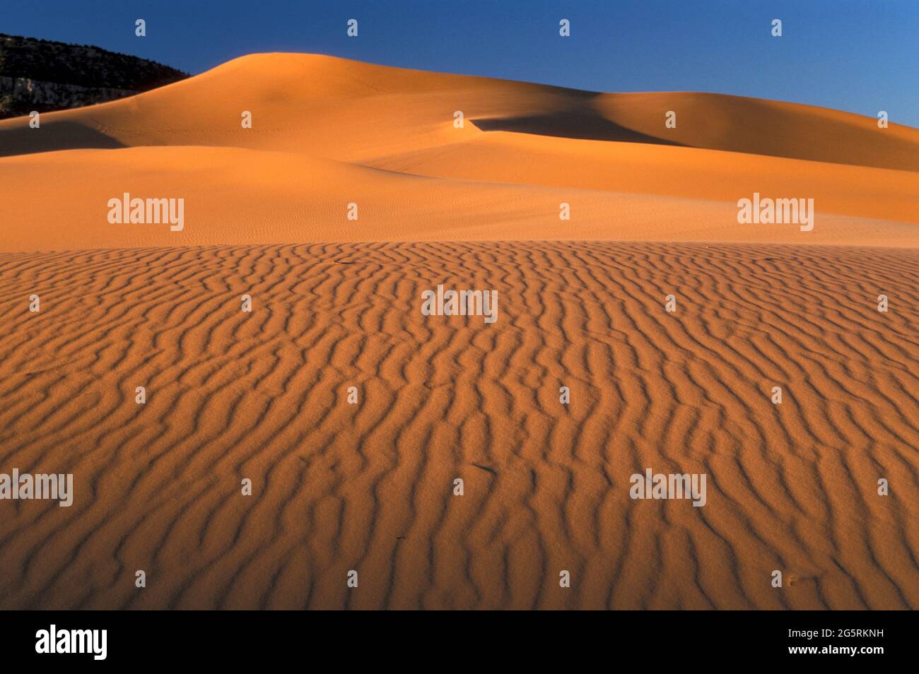 USA, Southwest, Colorado Plateau, Utah, Kane County, Coral Pink Sand Dunes State Park, Stockfotohttps://www.alamy.de/image-license-details/?v=1https://www.alamy.de/usa-southwest-colorado-plateau-utah-kane-county-coral-pink-sand-dunes-state-park-image433852877.html
RM2G5RKNH–USA, Southwest, Colorado Plateau, Utah, Kane County, Coral Pink Sand Dunes State Park,
 Beleuchtete Winding Road bei Sonnenuntergang umgeben von Bäumen Stockfotohttps://www.alamy.de/image-license-details/?v=1https://www.alamy.de/beleuchtete-winding-road-bei-sonnenuntergang-umgeben-von-baumen-image605474952.html
RF2X51NDC–Beleuchtete Winding Road bei Sonnenuntergang umgeben von Bäumen
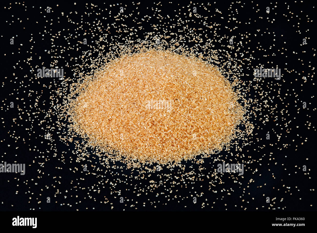 Quarzsand abgeleitet aus Navajo-Sandstein, Kane County, Utah Stockfotohttps://www.alamy.de/image-license-details/?v=1https://www.alamy.de/stockfoto-quarzsand-abgeleitet-aus-navajo-sandstein-kane-county-utah-97952344.html
RMFKA360–Quarzsand abgeleitet aus Navajo-Sandstein, Kane County, Utah
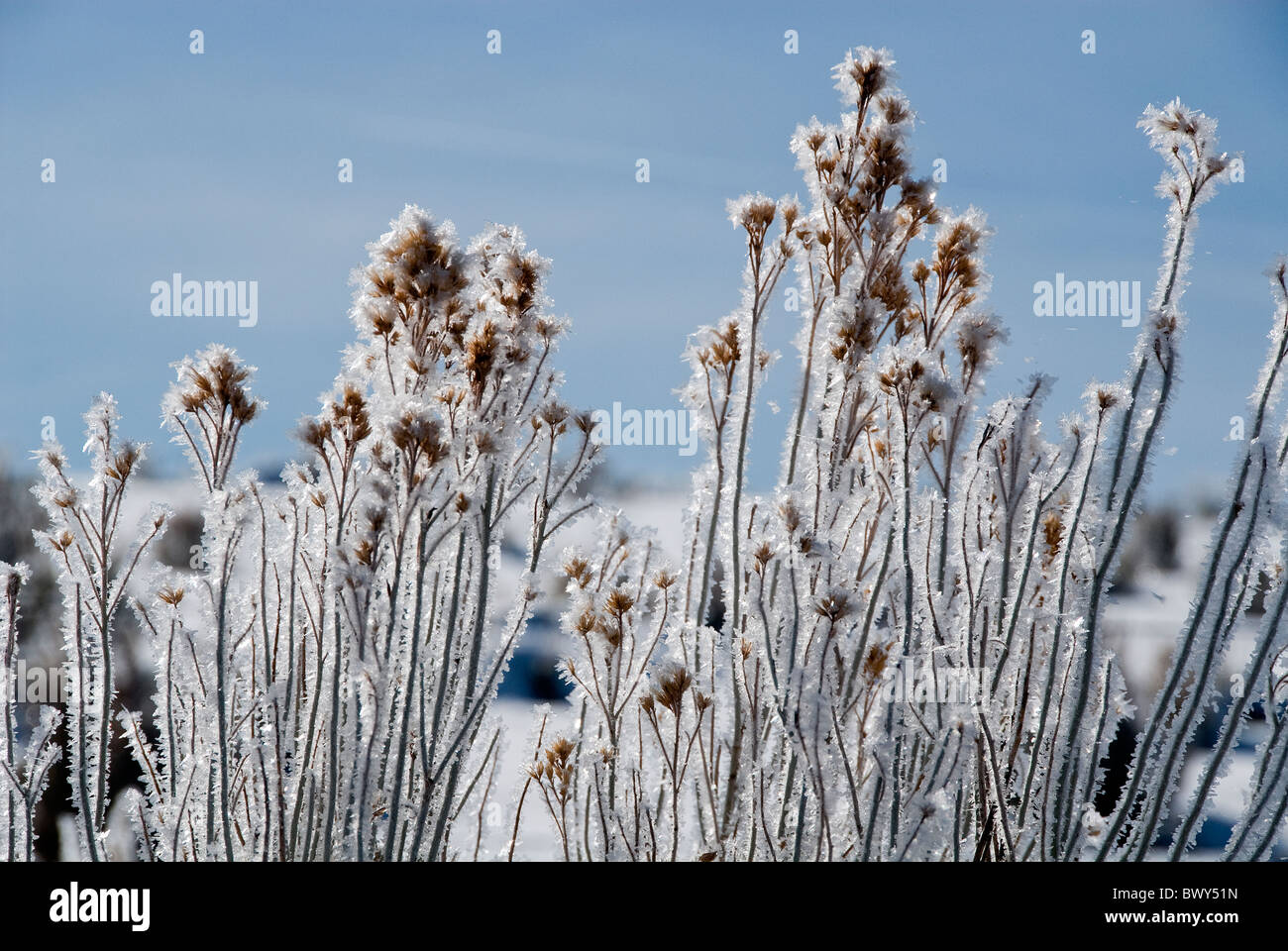 Frost-bedeckten Pflanzen aus Gordon Road Kane County Utah USA Stockfotohttps://www.alamy.de/image-license-details/?v=1https://www.alamy.de/stockfoto-frost-bedeckten-pflanzen-aus-gordon-road-kane-county-utah-usa-33173441.html
RMBWY51N–Frost-bedeckten Pflanzen aus Gordon Road Kane County Utah USA
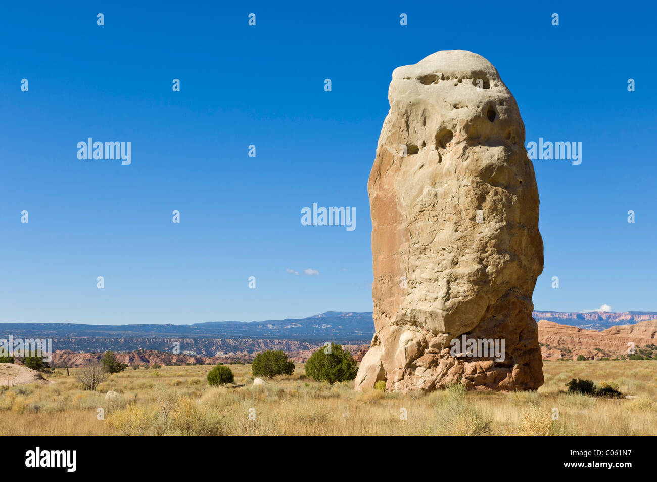 Chimney Rock, Kodachrome Basin State Park, Grand Staircase-Escalante Nationalmonument, Kane County, Utah, USA Stockfotohttps://www.alamy.de/image-license-details/?v=1https://www.alamy.de/stockfoto-chimney-rock-kodachrome-basin-state-park-grand-staircase-escalante-nationalmonument-kane-county-utah-usa-34553827.html
RMC061N7–Chimney Rock, Kodachrome Basin State Park, Grand Staircase-Escalante Nationalmonument, Kane County, Utah, USA
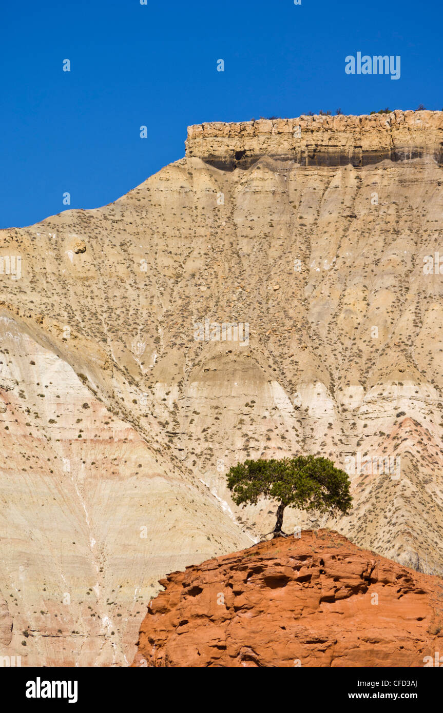 Einsamer Baum, Kodachrome Basin State Park, Grand Staircase-Escalante National Monument, Kane County, Utah, Vereinigte Staaten von Amerika Stockfotohttps://www.alamy.de/image-license-details/?v=1https://www.alamy.de/stockfoto-einsamer-baum-kodachrome-basin-state-park-grand-staircase-escalante-national-monument-kane-county-utah-vereinigte-staaten-von-amerika-43928602.html
RFCFD3AJ–Einsamer Baum, Kodachrome Basin State Park, Grand Staircase-Escalante National Monument, Kane County, Utah, Vereinigte Staaten von Amerika
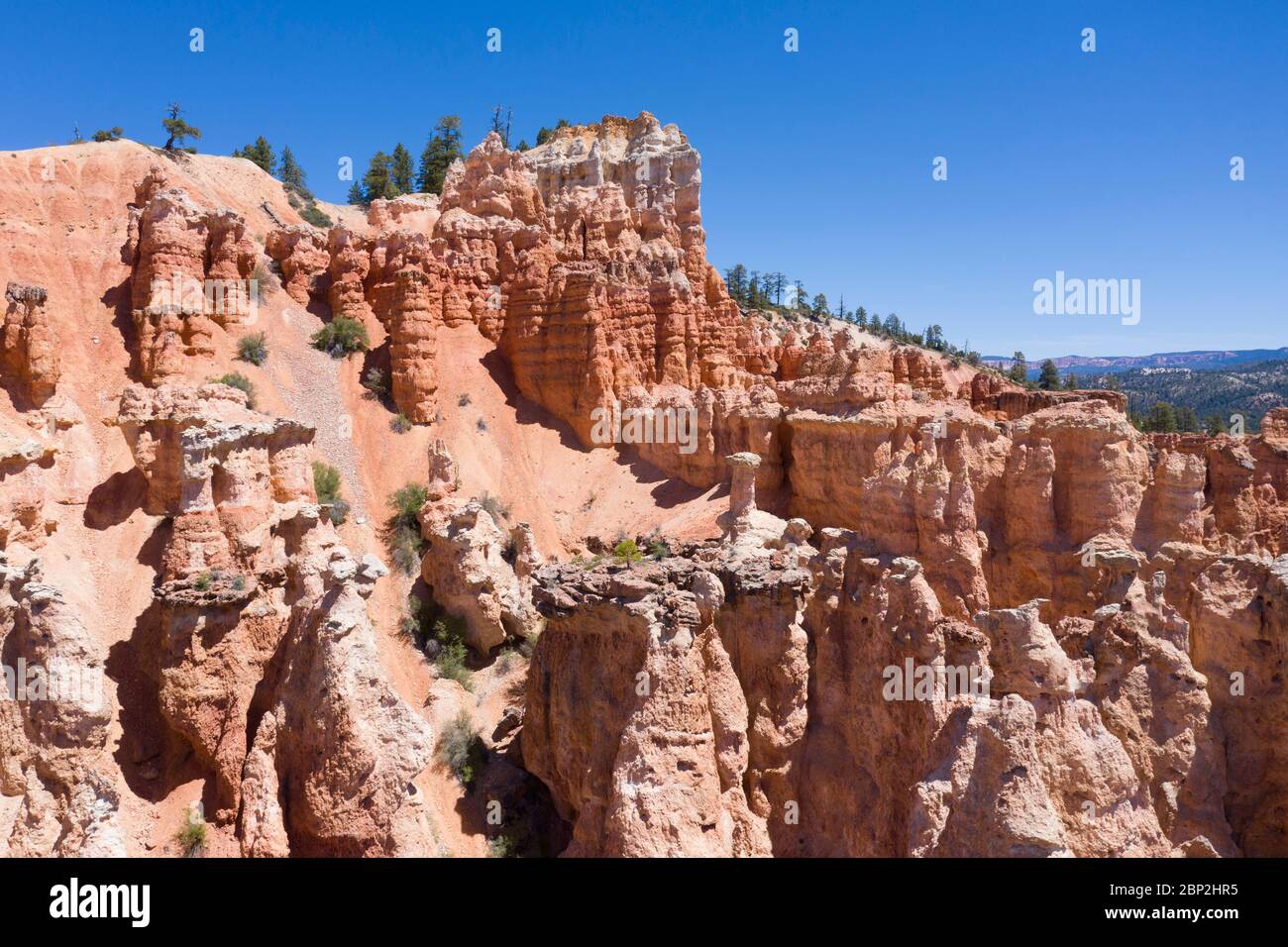 Luftaufnahmen von rosafarbenen Hoodoo-Felsformationen in Utah Stockfotohttps://www.alamy.de/image-license-details/?v=1https://www.alamy.de/luftaufnahmen-von-rosafarbenen-hoodoo-felsformationen-in-utah-image357787673.html
RF2BP2HR5–Luftaufnahmen von rosafarbenen Hoodoo-Felsformationen in Utah
 Weidemeyer des Admirals Limenitis Weidemeyerii südlich von Tropic Reservoir, Kane County, Utah, USA 26 Juni Erwachsene Stockfotohttps://www.alamy.de/image-license-details/?v=1https://www.alamy.de/stockfoto-weidemeyer-des-admirals-limenitis-weidemeyerii-sudlich-von-tropic-reservoir-kane-county-utah-usa-26-juni-erwachsene-84880355.html
RMEX2HN7–Weidemeyer des Admirals Limenitis Weidemeyerii südlich von Tropic Reservoir, Kane County, Utah, USA 26 Juni Erwachsene
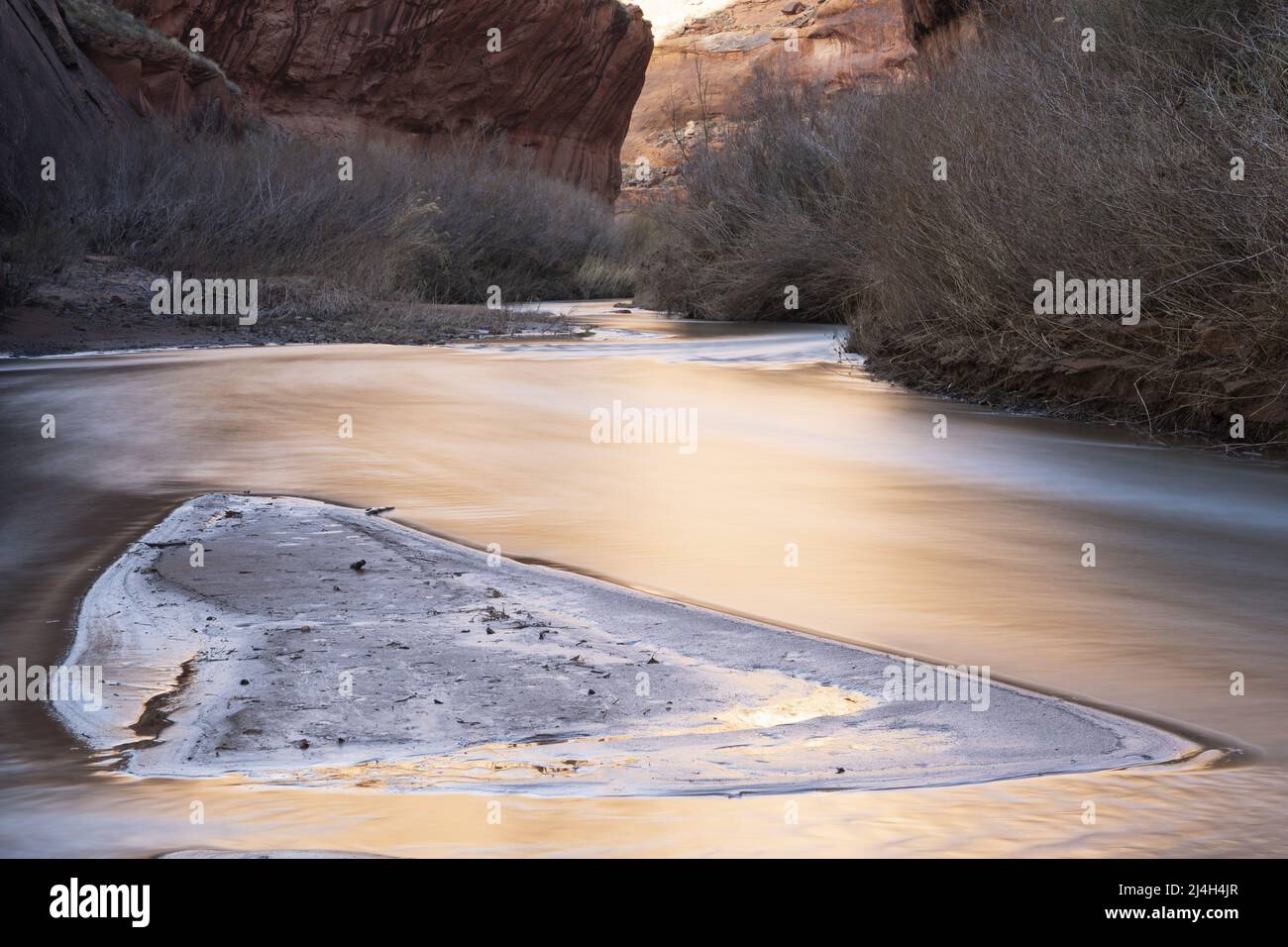 Reflektiertes Licht auf dem Escalante River Flowing Sandstone Canyon, Glen Canyon National Recreation Area, Kane County, Utah, USA Stockfotohttps://www.alamy.de/image-license-details/?v=1https://www.alamy.de/reflektiertes-licht-auf-dem-escalante-river-flowing-sandstone-canyon-glen-canyon-national-recreation-area-kane-county-utah-usa-image467515407.html
RM2J4H4JR–Reflektiertes Licht auf dem Escalante River Flowing Sandstone Canyon, Glen Canyon National Recreation Area, Kane County, Utah, USA
 Im Coral Pink Sand Dunes State Park in der Nähe von Kanab, Kane County, Utah, USA, werden die spektakulären Sanddünen mit Wacholder-, Ritzel- und Ponderosa-Pines gemischt. Stockfotohttps://www.alamy.de/image-license-details/?v=1https://www.alamy.de/im-coral-pink-sand-dunes-state-park-in-der-nahe-von-kanab-kane-county-utah-usa-werden-die-spektakularen-sanddunen-mit-wacholder-ritzel-und-ponderosa-pines-gemischt-image431908327.html
RM2G2K3DB–Im Coral Pink Sand Dunes State Park in der Nähe von Kanab, Kane County, Utah, USA, werden die spektakulären Sanddünen mit Wacholder-, Ritzel- und Ponderosa-Pines gemischt.
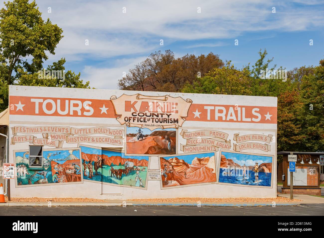 Utah, OCT 7, 2020 - Außenansicht des Kane County Office of Tourism Stockfotohttps://www.alamy.de/image-license-details/?v=1https://www.alamy.de/utah-oct-7-2020-aussenansicht-des-kane-county-office-of-tourism-image383570224.html
RF2D813MG–Utah, OCT 7, 2020 - Außenansicht des Kane County Office of Tourism
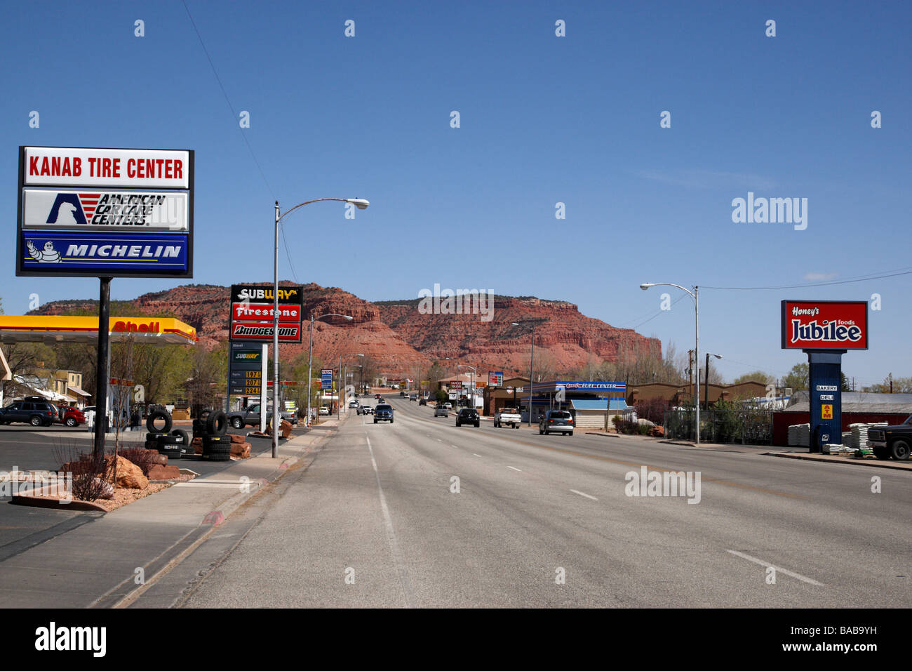 Blick entlang der Autobahn 89 Kanab Kane County Utah usa Stockfotohttps://www.alamy.de/image-license-details/?v=1https://www.alamy.de/stockfoto-blick-entlang-der-autobahn-89-kanab-kane-county-utah-usa-23606229.html
RMBAB9YH–Blick entlang der Autobahn 89 Kanab Kane County Utah usa
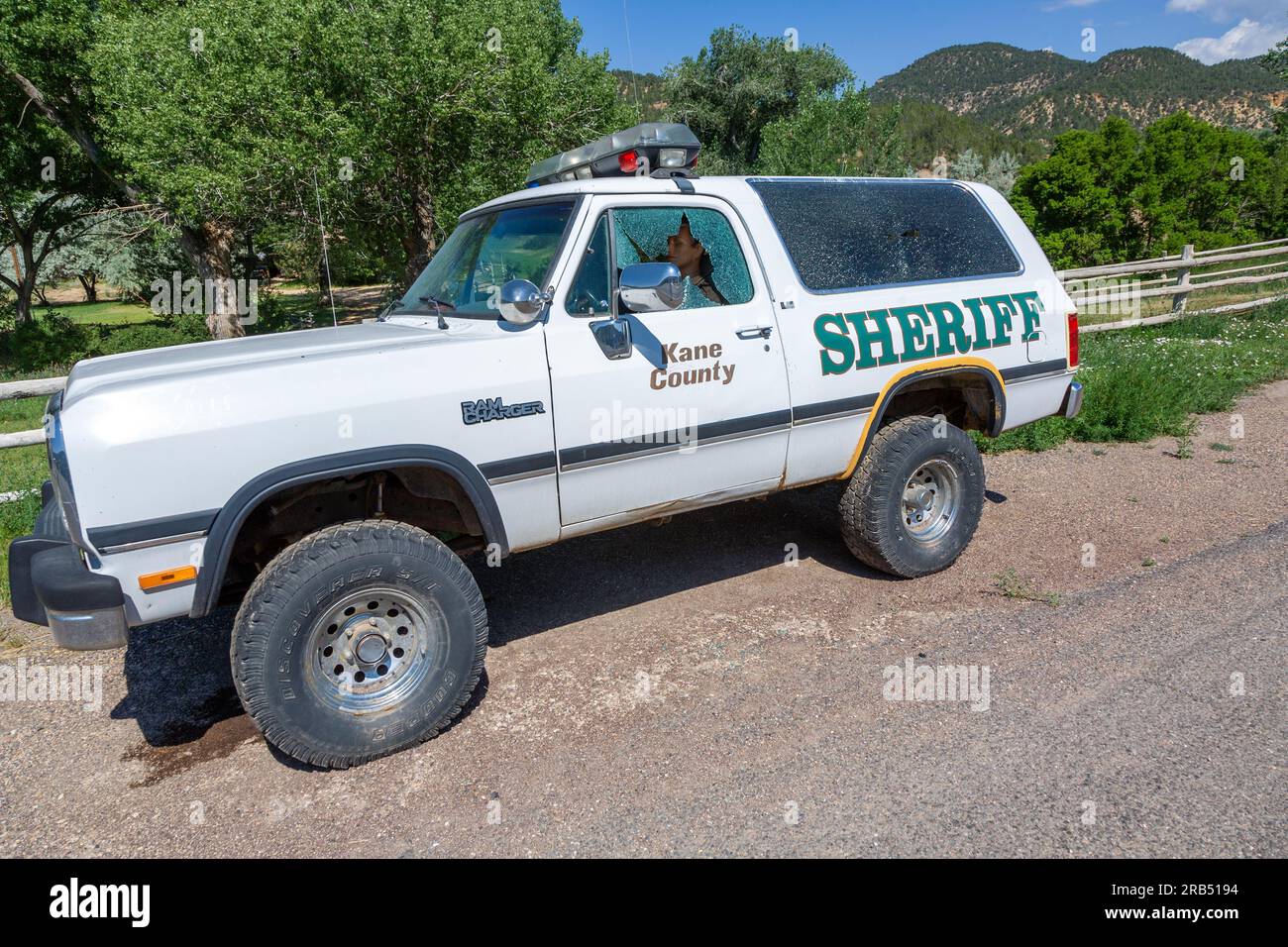 Orderville, USA - 17. Juli 2008: Kaputtes Fenster in einem Sheriffs-Auto in Kane County. Stockfotohttps://www.alamy.de/image-license-details/?v=1https://www.alamy.de/orderville-usa-17-juli-2008-kaputtes-fenster-in-einem-sheriffs-auto-in-kane-county-image557603792.html
RF2RB5194–Orderville, USA - 17. Juli 2008: Kaputtes Fenster in einem Sheriffs-Auto in Kane County.
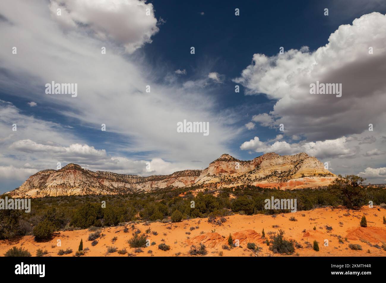 Dianas Thron mit dramatischen Wolken, Mt. Carmel Junction, Kane County, Utah Stockfotohttps://www.alamy.de/image-license-details/?v=1https://www.alamy.de/dianas-thron-mit-dramatischen-wolken-mt-carmel-junction-kane-county-utah-image494723735.html
RM2KMTH4R–Dianas Thron mit dramatischen Wolken, Mt. Carmel Junction, Kane County, Utah
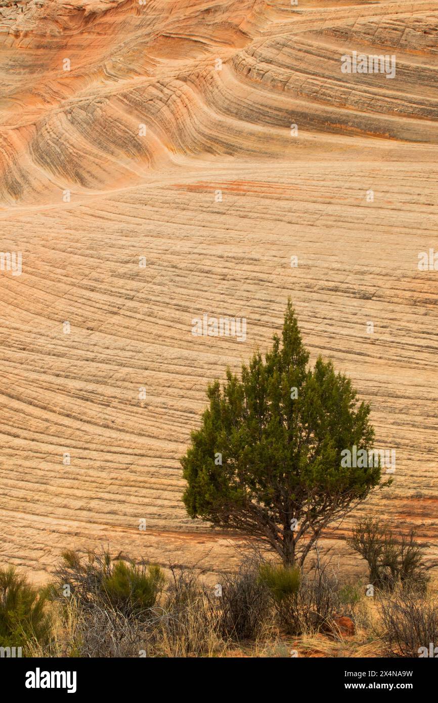 Juniper entlang des Moqui Sand Caves Trail, Kane County, Utah Stockfotohttps://www.alamy.de/image-license-details/?v=1https://www.alamy.de/juniper-entlang-des-moqui-sand-caves-trail-kane-county-utah-image605290613.html
RF2X4NA9W–Juniper entlang des Moqui Sand Caves Trail, Kane County, Utah
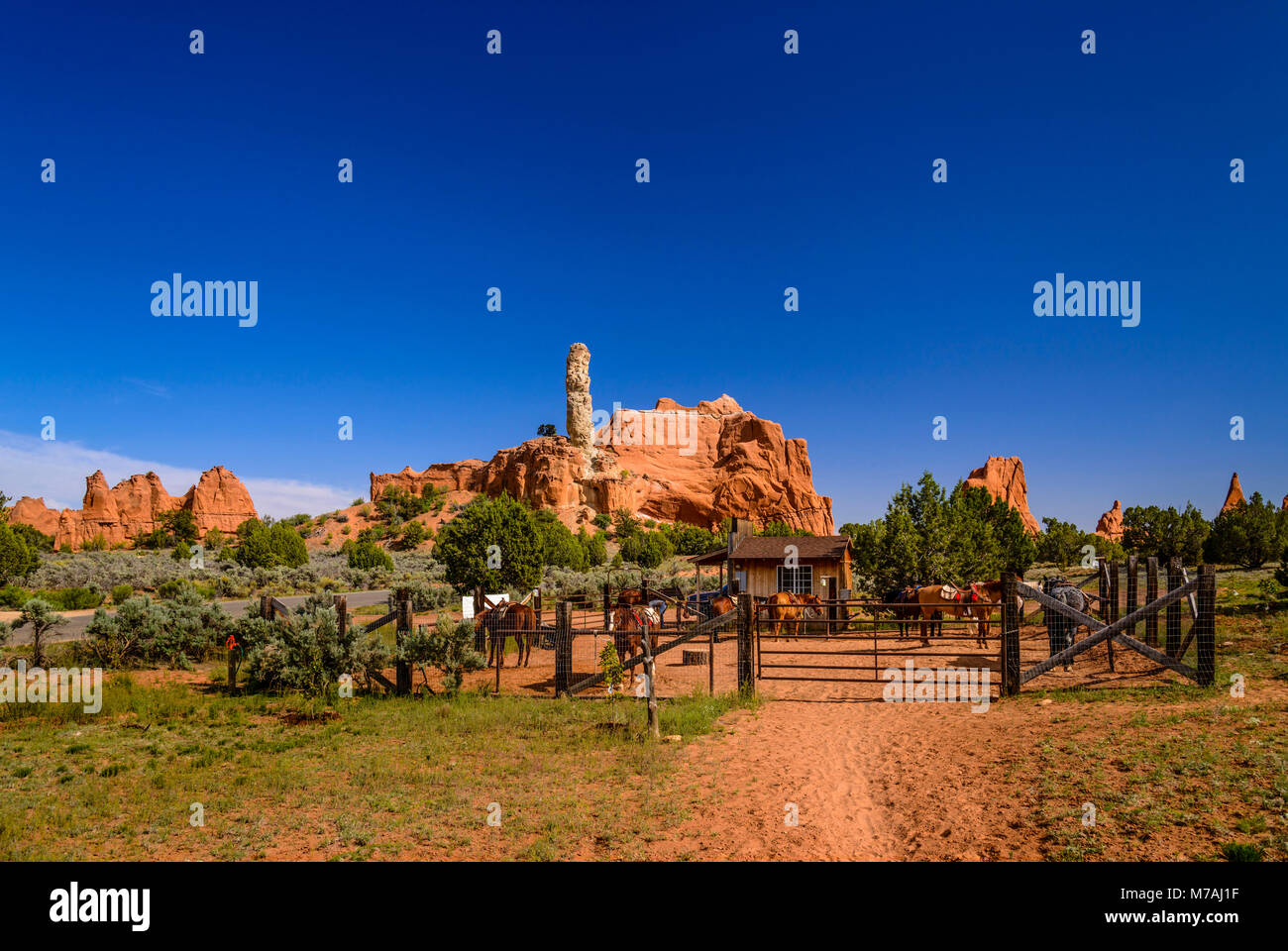 Die USA, Utah, Kane County, Kodachrome Basin State Park, Bang, Reiten Stockfotohttps://www.alamy.de/image-license-details/?v=1https://www.alamy.de/stockfoto-die-usa-utah-kane-county-kodachrome-basin-state-park-bang-reiten-176639947.html
RMM7AJ1F–Die USA, Utah, Kane County, Kodachrome Basin State Park, Bang, Reiten
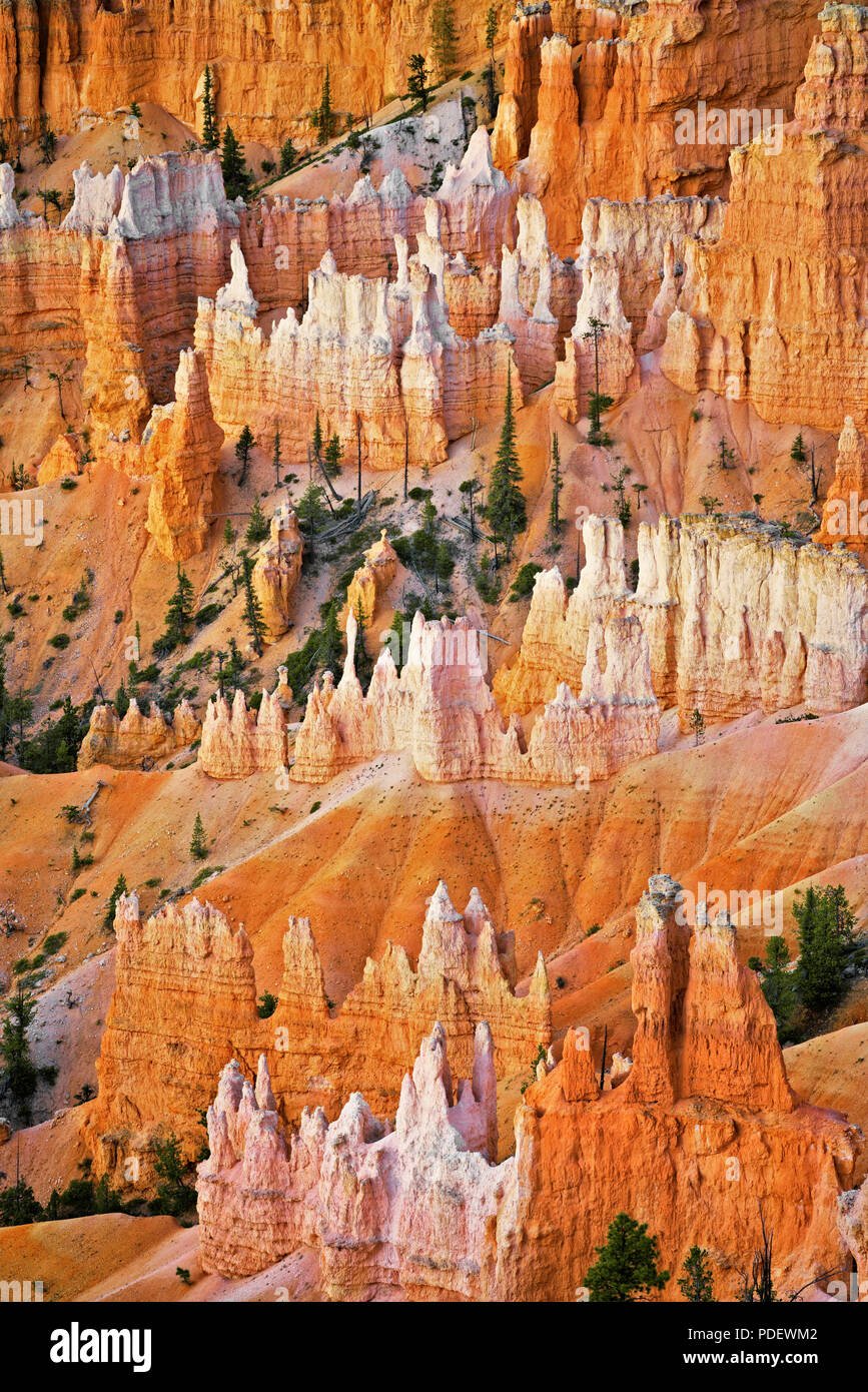 Die hoch aufragenden hoodoos Glühen am bürgerlichen Dämmerung vom Sunset Point in Utah Bryce Canyon National Park. Stockfotohttps://www.alamy.de/image-license-details/?v=1https://www.alamy.de/die-hoch-aufragenden-hoodoos-gluhen-am-burgerlichen-dammerung-vom-sunset-point-in-utah-bryce-canyon-national-park-image214842434.html
RMPDEWM2–Die hoch aufragenden hoodoos Glühen am bürgerlichen Dämmerung vom Sunset Point in Utah Bryce Canyon National Park.
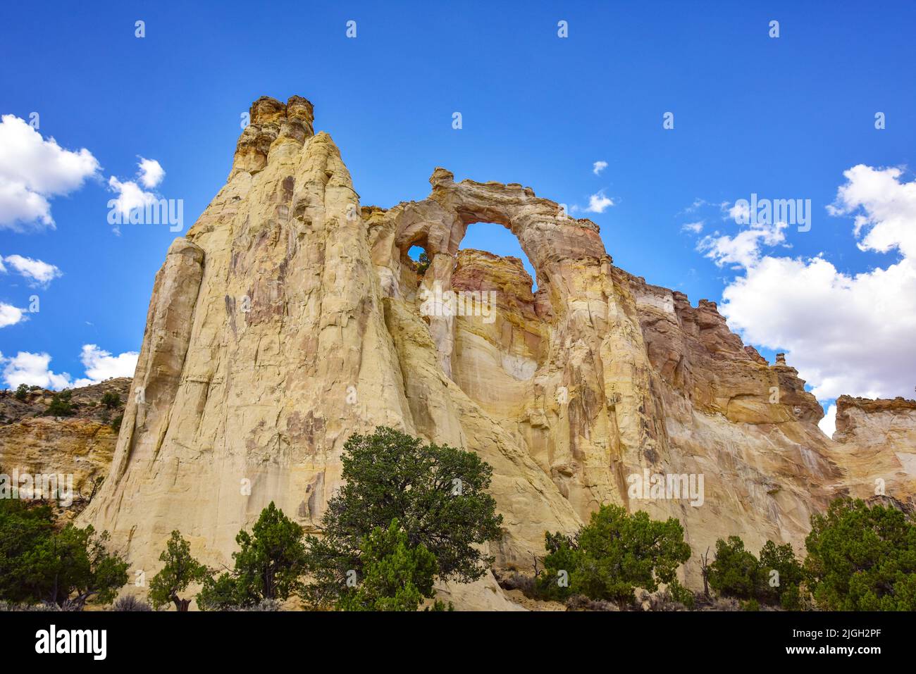 Grand Staircase-Escalante National Monument, Utah, Grosvenor Arch Stockfotohttps://www.alamy.de/image-license-details/?v=1https://www.alamy.de/grand-staircase-escalante-national-monument-utah-grosvenor-arch-image474889815.html
RM2JGH2PF–Grand Staircase-Escalante National Monument, Utah, Grosvenor Arch
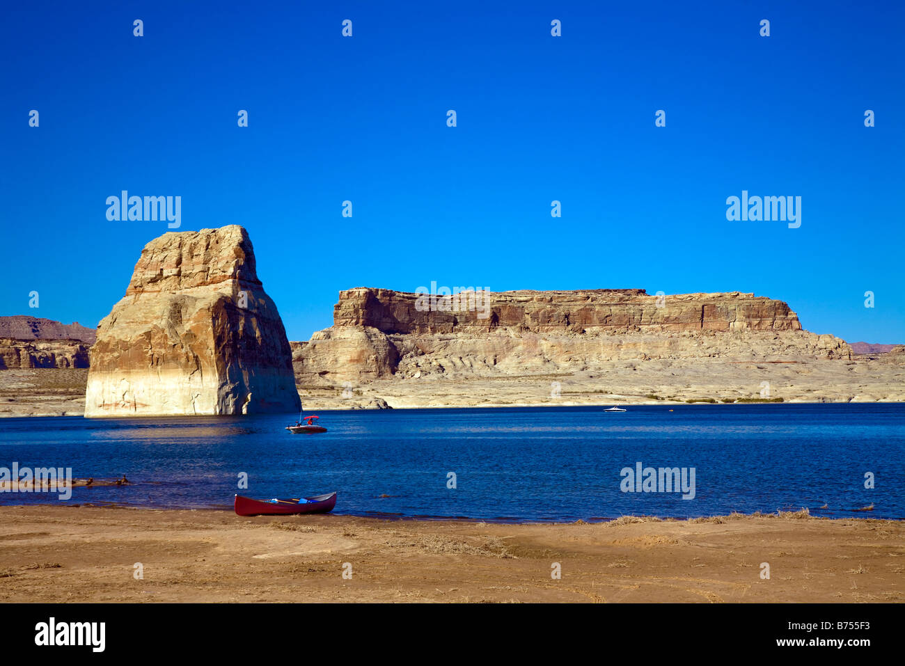 Lone Rock Beach am Lake Powell, Kane County Utah, in der Nähe von Page Arizona USA Stockfotohttps://www.alamy.de/image-license-details/?v=1https://www.alamy.de/stockfoto-lone-rock-beach-am-lake-powell-kane-county-utah-in-der-nahe-von-page-arizona-usa-21627063.html
RMB755F3–Lone Rock Beach am Lake Powell, Kane County Utah, in der Nähe von Page Arizona USA
 USA, Southwest, Colorado Plateau, Utah, Kane County, Coral Pink Sand Dunes State Park, Stockfotohttps://www.alamy.de/image-license-details/?v=1https://www.alamy.de/usa-southwest-colorado-plateau-utah-kane-county-coral-pink-sand-dunes-state-park-image433852857.html
RM2G5RKMW–USA, Southwest, Colorado Plateau, Utah, Kane County, Coral Pink Sand Dunes State Park,
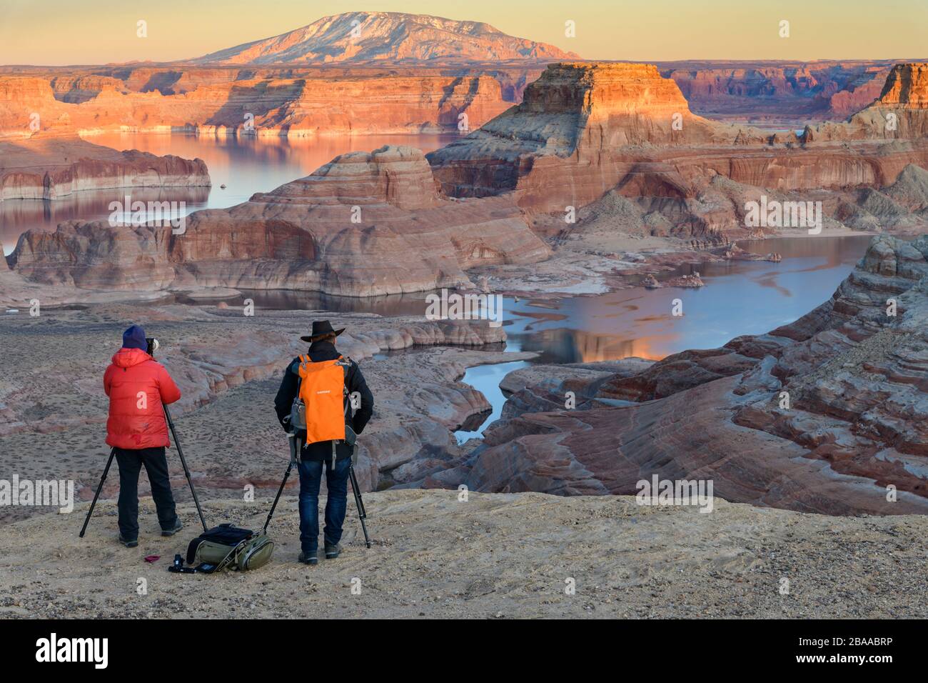 USA, Southwest, Colorado Plateau, Utah, Kane County, Big Water, Glen Canyon National Recreation Area, Alstrom Point Stockfotohttps://www.alamy.de/image-license-details/?v=1https://www.alamy.de/usa-southwest-colorado-plateau-utah-kane-county-big-water-glen-canyon-national-recreation-area-alstrom-point-image350582730.html
RM2BAABRP–USA, Southwest, Colorado Plateau, Utah, Kane County, Big Water, Glen Canyon National Recreation Area, Alstrom Point
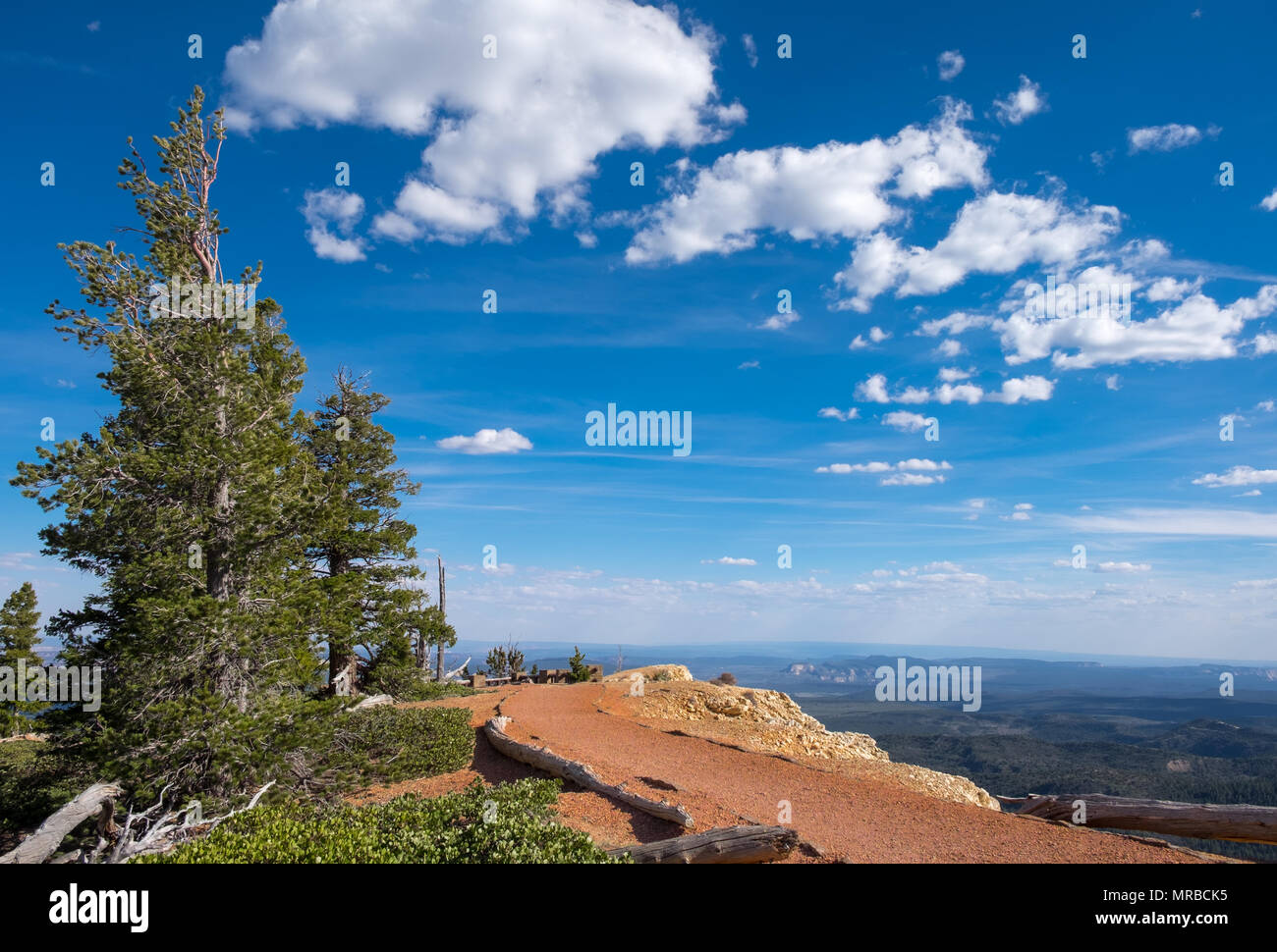 Pinus longaeva entlang der Bristlecone Loop Trail im Bryce Canyon National Park, Kane County, Utah, USA. Stockfotohttps://www.alamy.de/image-license-details/?v=1https://www.alamy.de/pinus-longaeva-entlang-der-bristlecone-loop-trail-im-bryce-canyon-national-park-kane-county-utah-usa-image186492185.html
RFMRBCK5–Pinus longaeva entlang der Bristlecone Loop Trail im Bryce Canyon National Park, Kane County, Utah, USA.
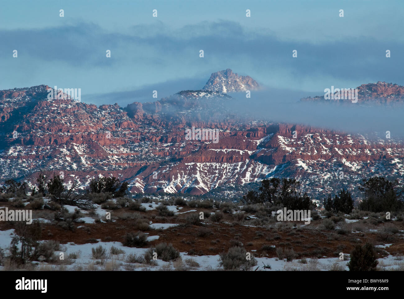 Verschneite Vermillion Cliffs vom Hwy 89 Kane County Utah USA Stockfotohttps://www.alamy.de/image-license-details/?v=1https://www.alamy.de/stockfoto-verschneite-vermillion-cliffs-vom-hwy-89-kane-county-utah-usa-33174745.html
RMBWY6M9–Verschneite Vermillion Cliffs vom Hwy 89 Kane County Utah USA
 Shakespeare Arch Kodachrome Basin State Park Grand Staircase-Escalante National Monument Kane County Utah USA Stockfotohttps://www.alamy.de/image-license-details/?v=1https://www.alamy.de/stockfoto-shakespeare-arch-kodachrome-basin-state-park-grand-staircase-escalante-national-monument-kane-county-utah-usa-35444716.html
RMC1JJ2M–Shakespeare Arch Kodachrome Basin State Park Grand Staircase-Escalante National Monument Kane County Utah USA
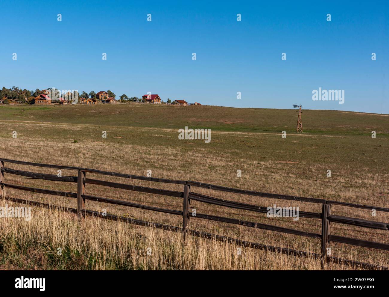 Usa. Utah. Kane County. Landschaft nahe Mount Carmel Junction entlang der Utah State Route 9 (Zion - Mount Carmel Highway). Stockfotohttps://www.alamy.de/image-license-details/?v=1https://www.alamy.de/usa-utah-kane-county-landschaft-nahe-mount-carmel-junction-entlang-der-utah-state-route-9-zion-mount-carmel-highway-image595152532.html
RF2WG7F3G–Usa. Utah. Kane County. Landschaft nahe Mount Carmel Junction entlang der Utah State Route 9 (Zion - Mount Carmel Highway).
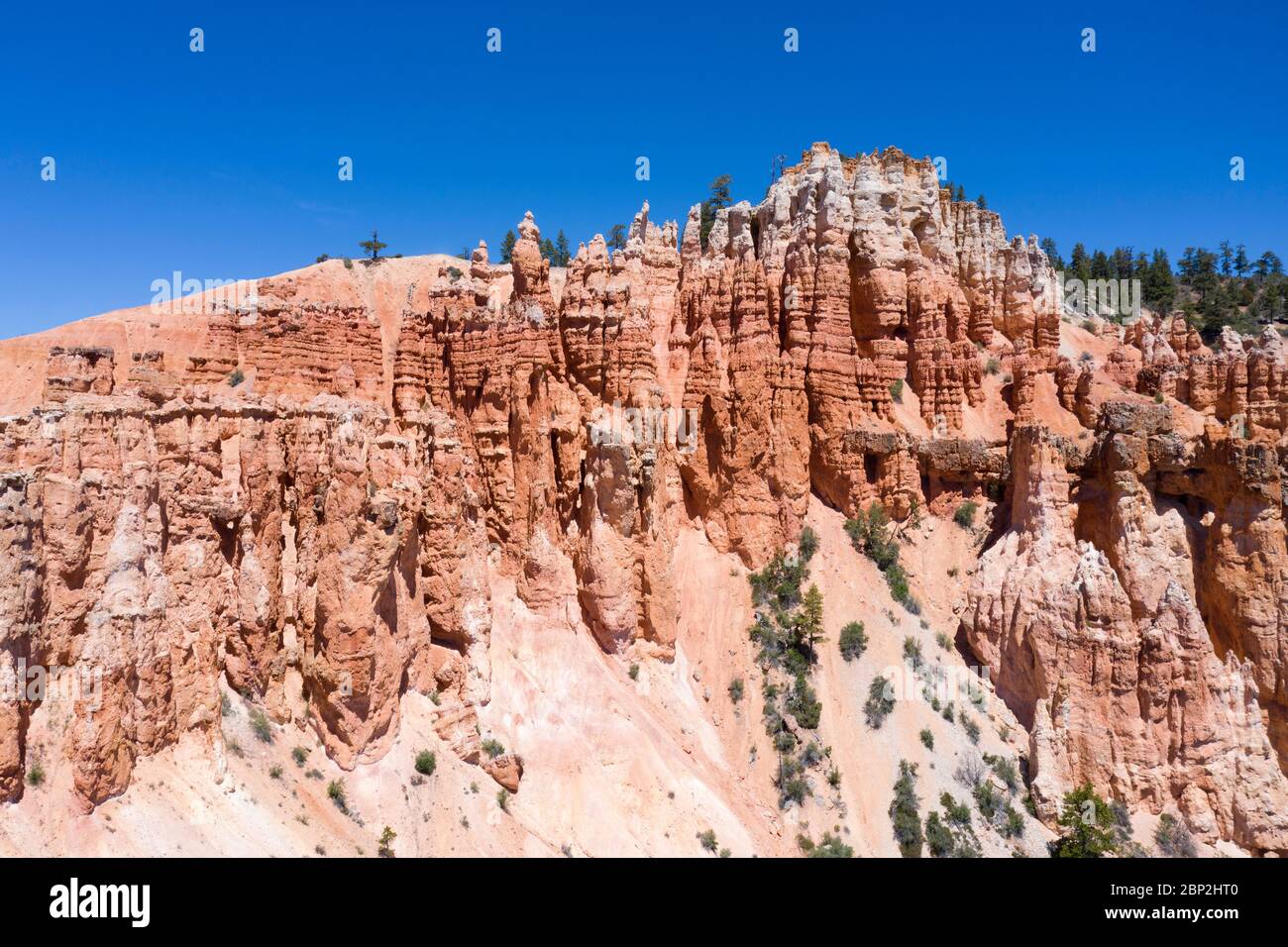 Luftaufnahmen von rosafarbenen Hoodoo-Felsformationen in Utah Stockfotohttps://www.alamy.de/image-license-details/?v=1https://www.alamy.de/luftaufnahmen-von-rosafarbenen-hoodoo-felsformationen-in-utah-image357787696.html
RF2BP2HT0–Luftaufnahmen von rosafarbenen Hoodoo-Felsformationen in Utah
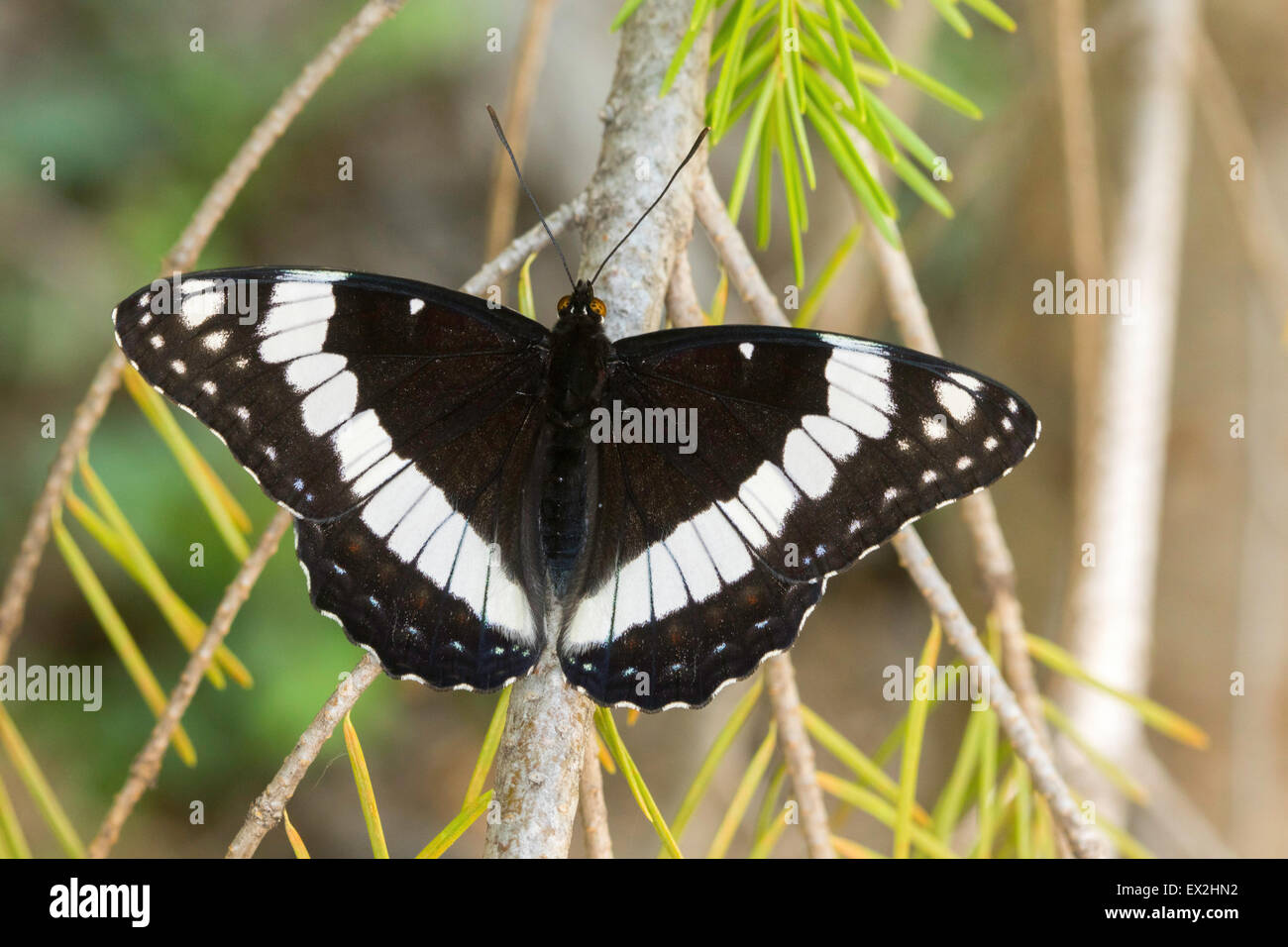 Weidemeyer des Admirals Limenitis Weidemeyerii südlich von Tropic Reservoir, Kane County, Utah, USA 26 Juni Erwachsene Stockfotohttps://www.alamy.de/image-license-details/?v=1https://www.alamy.de/stockfoto-weidemeyer-des-admirals-limenitis-weidemeyerii-sudlich-von-tropic-reservoir-kane-county-utah-usa-26-juni-erwachsene-84880350.html
RMEX2HN2–Weidemeyer des Admirals Limenitis Weidemeyerii südlich von Tropic Reservoir, Kane County, Utah, USA 26 Juni Erwachsene
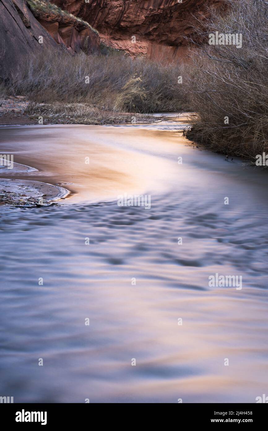 Reflektiertes Licht auf dem Escalante River Flowing Sandstone Canyon, Glen Canyon National Recreation Area, Kane County, Utah, USA Stockfotohttps://www.alamy.de/image-license-details/?v=1https://www.alamy.de/reflektiertes-licht-auf-dem-escalante-river-flowing-sandstone-canyon-glen-canyon-national-recreation-area-kane-county-utah-usa-image467515028.html
RM2J4H458–Reflektiertes Licht auf dem Escalante River Flowing Sandstone Canyon, Glen Canyon National Recreation Area, Kane County, Utah, USA
 Das Grand Staircase-Escalante National Monument ist ein Gebiet mit Felsformationen, die als Krötenstühle bekannt sind und etwa 45 km östlich von Kanab, Utah, USA, liegen. Stockfotohttps://www.alamy.de/image-license-details/?v=1https://www.alamy.de/das-grand-staircase-escalante-national-monument-ist-ein-gebiet-mit-felsformationen-die-als-krotenstuhle-bekannt-sind-und-etwa-45-km-ostlich-von-kanab-utah-usa-liegen-image551401137.html
RM2R12DNN–Das Grand Staircase-Escalante National Monument ist ein Gebiet mit Felsformationen, die als Krötenstühle bekannt sind und etwa 45 km östlich von Kanab, Utah, USA, liegen.
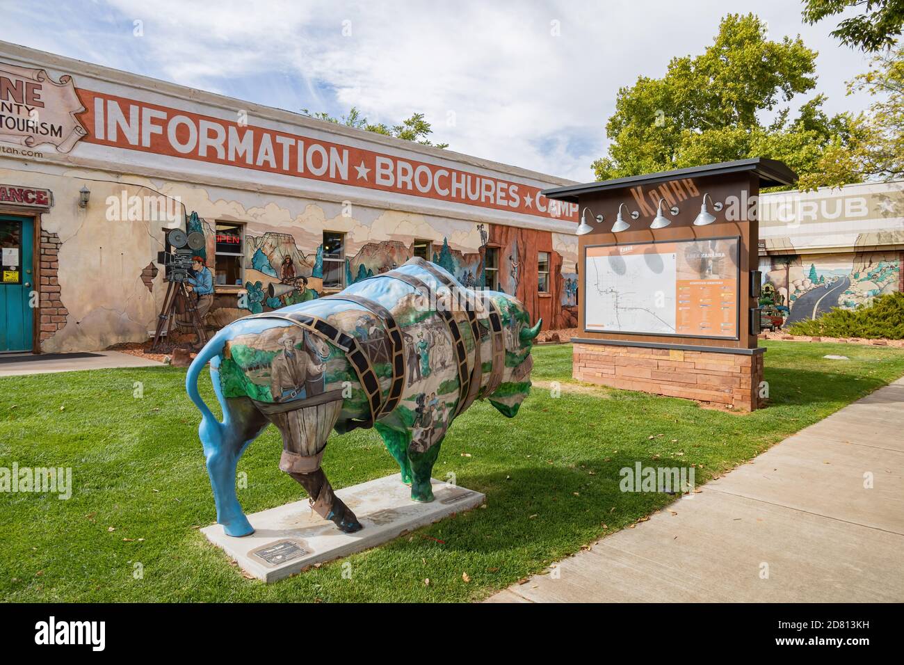 Utah, OCT 7, 2020 - Außenansicht des Kane County Office of Tourism Stockfotohttps://www.alamy.de/image-license-details/?v=1https://www.alamy.de/utah-oct-7-2020-aussenansicht-des-kane-county-office-of-tourism-image383570197.html
RF2D813KH–Utah, OCT 7, 2020 - Außenansicht des Kane County Office of Tourism
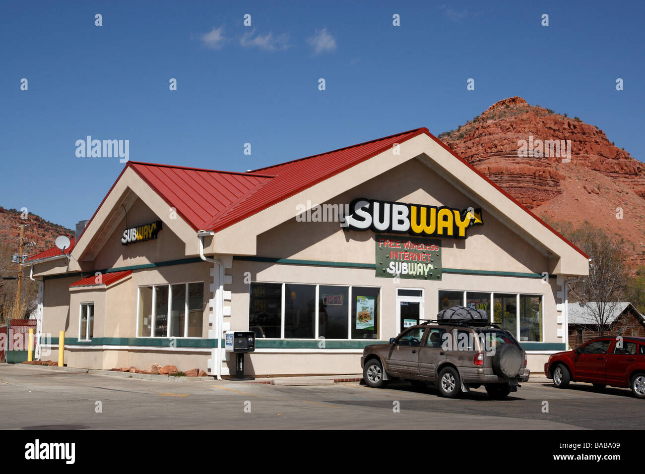 Subway Restaurant am Highway 89 Kanab Kane County Utah usa Stockfotohttps://www.alamy.de/image-license-details/?v=1https://www.alamy.de/stockfoto-subway-restaurant-am-highway-89-kanab-kane-county-utah-usa-23606249.html
RMBABA09–Subway Restaurant am Highway 89 Kanab Kane County Utah usa
 WPA-Posterkunst des Coral Pink Sand Dunes State Park zwischen Mount Carmel Junction und Kanab in Kane County im Südwesten von Utah, USA Stock Vektorhttps://www.alamy.de/image-license-details/?v=1https://www.alamy.de/wpa-posterkunst-des-coral-pink-sand-dunes-state-park-zwischen-mount-carmel-junction-und-kanab-in-kane-county-im-sudwesten-von-utah-usa-image607058755.html
RF2X7HWHR–WPA-Posterkunst des Coral Pink Sand Dunes State Park zwischen Mount Carmel Junction und Kanab in Kane County im Südwesten von Utah, USA
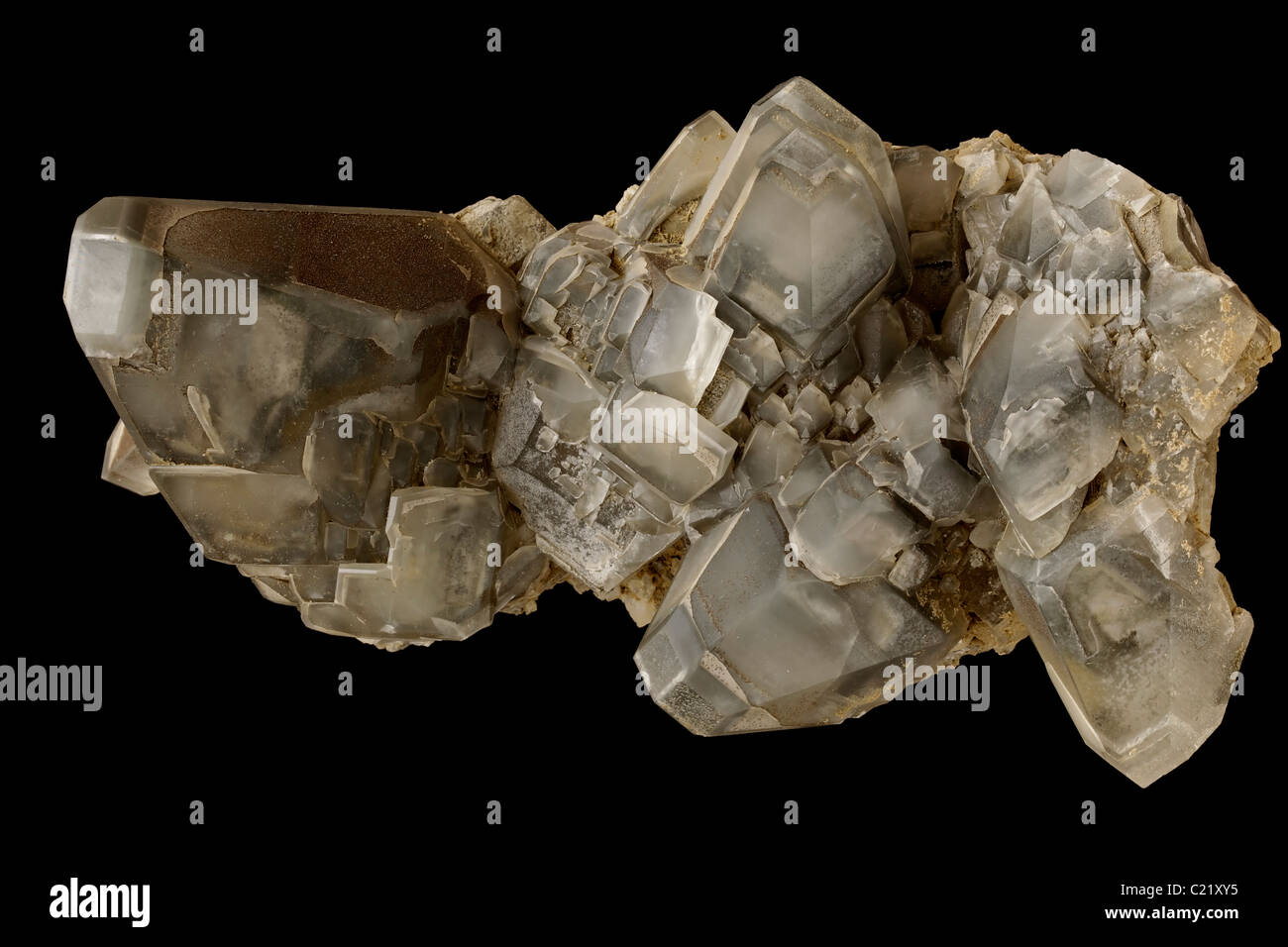 Calcit (Ca CO3 - Calciumcarbonat) mit Pyrit und Markasit - Conco Mine - North Aurora - Kane County - Illinois - USA Stockfotohttps://www.alamy.de/image-license-details/?v=1https://www.alamy.de/stockfoto-calcit-ca-co3-calciumcarbonat-mit-pyrit-und-markasit-conco-mine-north-aurora-kane-county-illinois-usa-35693145.html
RMC21XY5–Calcit (Ca CO3 - Calciumcarbonat) mit Pyrit und Markasit - Conco Mine - North Aurora - Kane County - Illinois - USA
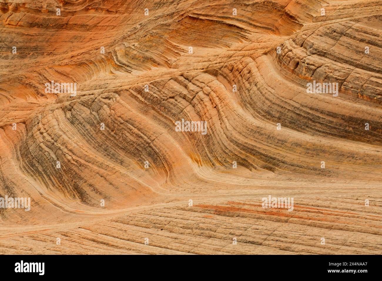 Sandsteinbetten am Moqui Sand Caves Trail, Kane County, Utah Stockfotohttps://www.alamy.de/image-license-details/?v=1https://www.alamy.de/sandsteinbetten-am-moqui-sand-caves-trail-kane-county-utah-image605290623.html
RF2X4NAA7–Sandsteinbetten am Moqui Sand Caves Trail, Kane County, Utah
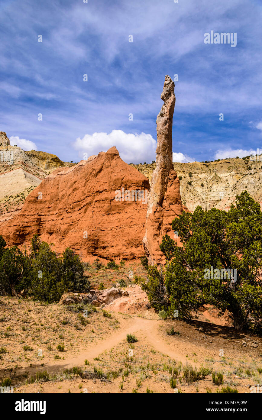 Die USA, Utah, Kane County, Kodachrome Basin State Park, das Tal Ende, rock Nadel Stockfotohttps://www.alamy.de/image-license-details/?v=1https://www.alamy.de/stockfoto-die-usa-utah-kane-county-kodachrome-basin-state-park-das-tal-ende-rock-nadel-176639929.html
RMM7AJ0W–Die USA, Utah, Kane County, Kodachrome Basin State Park, das Tal Ende, rock Nadel
 Die hoch aufragenden hoodoos Glühen am bürgerlichen Dämmerung vom Sunset Point in Utah Bryce Canyon National Park. Stockfotohttps://www.alamy.de/image-license-details/?v=1https://www.alamy.de/die-hoch-aufragenden-hoodoos-gluhen-am-burgerlichen-dammerung-vom-sunset-point-in-utah-bryce-canyon-national-park-image214841898.html
RMPDEW0X–Die hoch aufragenden hoodoos Glühen am bürgerlichen Dämmerung vom Sunset Point in Utah Bryce Canyon National Park.
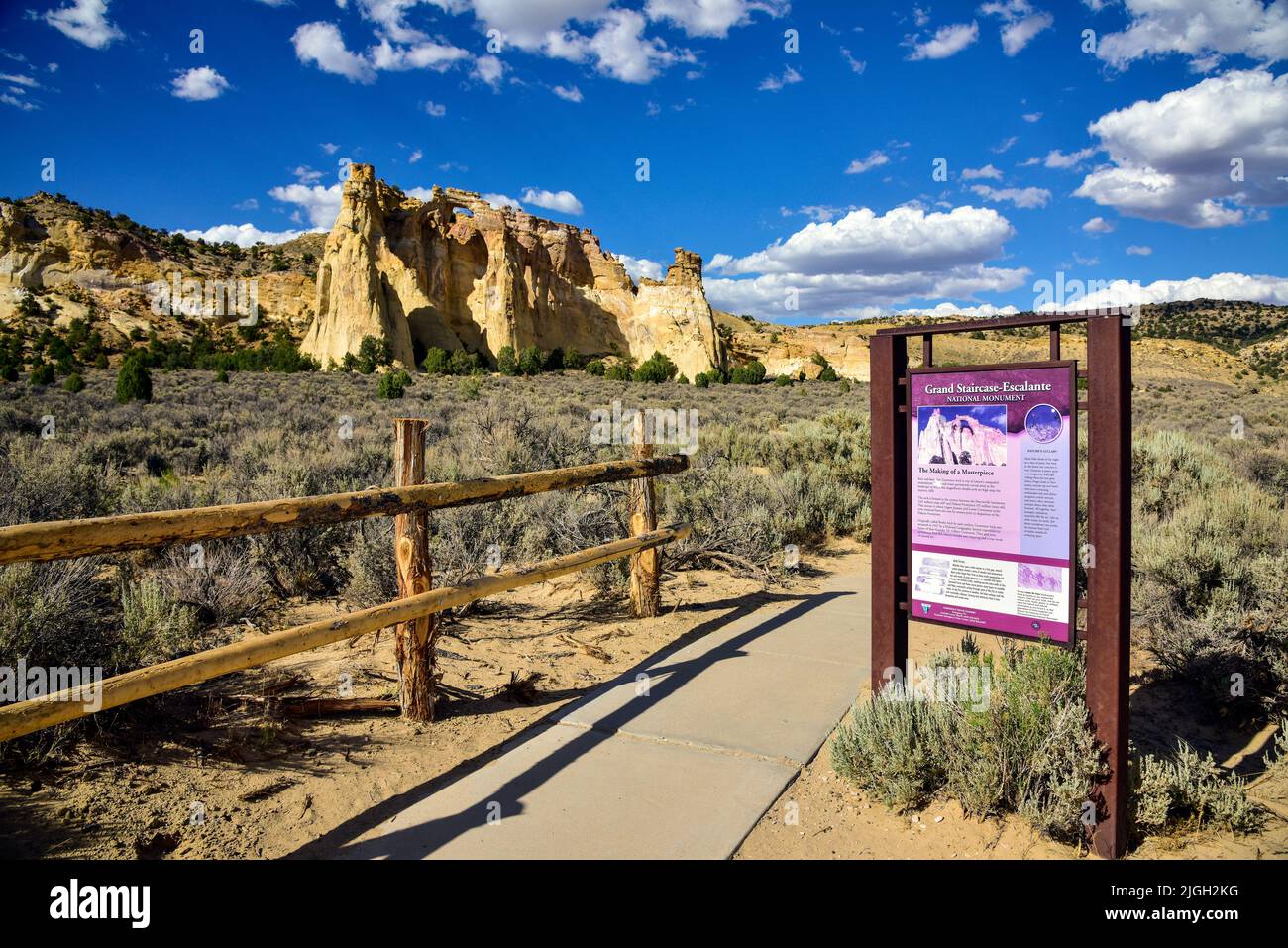 Grand Staircase-Escalante National Monument, Utah, Grosvenor Arch Stockfotohttps://www.alamy.de/image-license-details/?v=1https://www.alamy.de/grand-staircase-escalante-national-monument-utah-grosvenor-arch-image474889732.html
RM2JGH2KG–Grand Staircase-Escalante National Monument, Utah, Grosvenor Arch
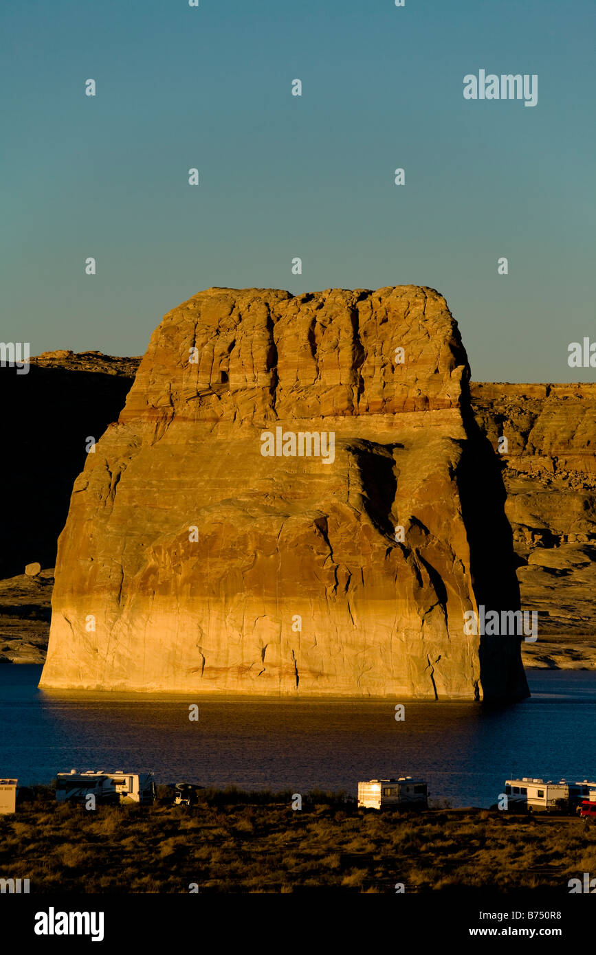 Lone Rock, Lake Powell in der Glen Canyon National Recreation Area, Kane County Utah, in der Nähe von Page, Arizona, USA Stockfotohttps://www.alamy.de/image-license-details/?v=1https://www.alamy.de/stockfoto-lone-rock-lake-powell-in-der-glen-canyon-national-recreation-area-kane-county-utah-in-der-nahe-von-page-arizona-usa-21623372.html
RMB750R8–Lone Rock, Lake Powell in der Glen Canyon National Recreation Area, Kane County Utah, in der Nähe von Page, Arizona, USA
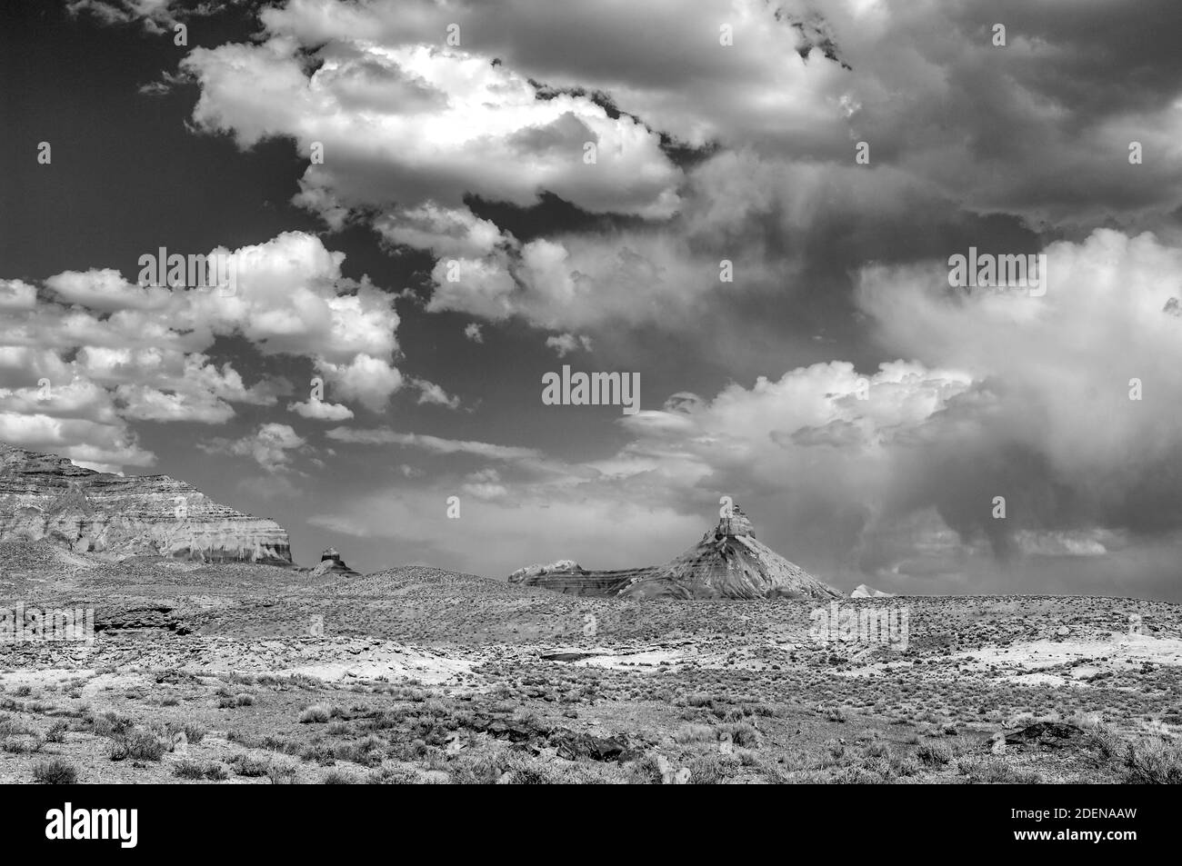 Nordamerika, USA, Colorado Plateau, Utah, Kane County, Big Water, Glen Canyon National Recreation Stockfotohttps://www.alamy.de/image-license-details/?v=1https://www.alamy.de/nordamerika-usa-colorado-plateau-utah-kane-county-big-water-glen-canyon-national-recreation-image387702417.html
RM2DENAAW–Nordamerika, USA, Colorado Plateau, Utah, Kane County, Big Water, Glen Canyon National Recreation
 Stud Horse Point, Kanab, Kane County, Utah Stockfotohttps://www.alamy.de/image-license-details/?v=1https://www.alamy.de/stud-horse-point-kanab-kane-county-utah-image60062666.html
RMDDM2F6–Stud Horse Point, Kanab, Kane County, Utah
 Eiche #257 Stockfotohttps://www.alamy.de/image-license-details/?v=1https://www.alamy.de/eiche-257-image311859039.html
RFS3ABAR–Eiche #257
 Gunsmoke Film eingestellt, Johnson Canyon, Kanab, Utah Stockfotohttps://www.alamy.de/image-license-details/?v=1https://www.alamy.de/gunsmoke-film-eingestellt-johnson-canyon-kanab-utah-image233056774.html
RMRF4J86–Gunsmoke Film eingestellt, Johnson Canyon, Kanab, Utah
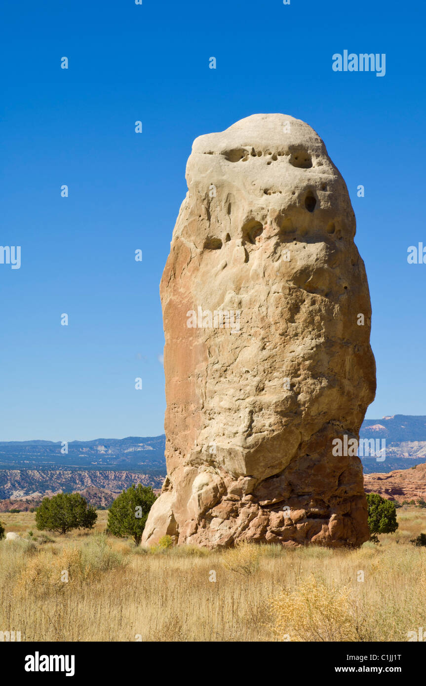 Chimney Rock Kodachrome Basin State Park Grand Staircase-Escalante National Monument Kane County Utah USA Stockfotohttps://www.alamy.de/image-license-details/?v=1https://www.alamy.de/stockfoto-chimney-rock-kodachrome-basin-state-park-grand-staircase-escalante-national-monument-kane-county-utah-usa-35444692.html
RMC1JJ1T–Chimney Rock Kodachrome Basin State Park Grand Staircase-Escalante National Monument Kane County Utah USA
 Usa. Utah. Kane County. Landschaft nahe Mount Carmel Junction entlang der Utah State Route 9 (Zion - Mount Carmel Highway). Stockfotohttps://www.alamy.de/image-license-details/?v=1https://www.alamy.de/usa-utah-kane-county-landschaft-nahe-mount-carmel-junction-entlang-der-utah-state-route-9-zion-mount-carmel-highway-image595152551.html
RF2WG7F47–Usa. Utah. Kane County. Landschaft nahe Mount Carmel Junction entlang der Utah State Route 9 (Zion - Mount Carmel Highway).
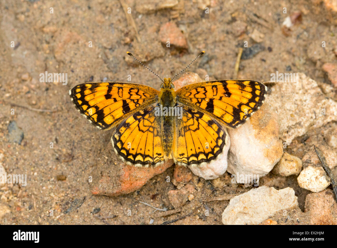 Blasse Crescent Phyciodes Pallida südlich von Tropic Reservior, Kane County, Utah, USA 26 Juni erwachsenen männlichen Nympha Stockfotohttps://www.alamy.de/image-license-details/?v=1https://www.alamy.de/stockfoto-blasse-crescent-phyciodes-pallida-sudlich-von-tropic-reservior-kane-county-utah-usa-26-juni-erwachsenen-mannlichen-nympha-84880284.html
RMEX2HJM–Blasse Crescent Phyciodes Pallida südlich von Tropic Reservior, Kane County, Utah, USA 26 Juni erwachsenen männlichen Nympha
 Bull-Tal-Schlucht im südlichen Utah, USA auch bekannt als ein Slotcanyon. Stockfotohttps://www.alamy.de/image-license-details/?v=1https://www.alamy.de/stockfoto-bull-tal-schlucht-im-sudlichen-utah-usa-auch-bekannt-als-ein-slotcanyon-35781379.html
RFC25YEB–Bull-Tal-Schlucht im südlichen Utah, USA auch bekannt als ein Slotcanyon.
 Die Felsformationen im Grand Staircase-Escalante National Monument, das etwa 45 km östlich von Kanab, USA, liegt in diesem Gebiet. Stockfotohttps://www.alamy.de/image-license-details/?v=1https://www.alamy.de/die-felsformationen-im-grand-staircase-escalante-national-monument-das-etwa-45-km-ostlich-von-kanab-usa-liegt-in-diesem-gebiet-image551401142.html
RM2R12DNX–Die Felsformationen im Grand Staircase-Escalante National Monument, das etwa 45 km östlich von Kanab, USA, liegt in diesem Gebiet.
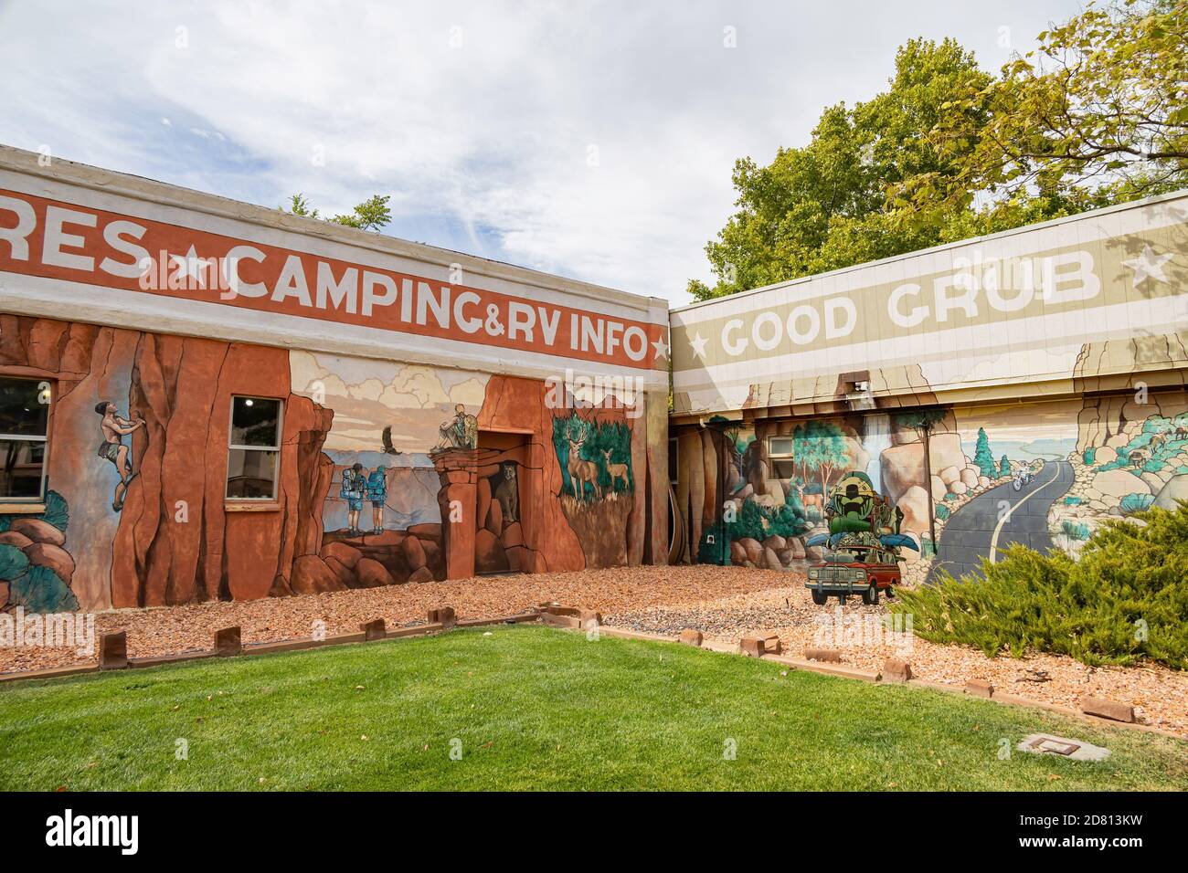 Utah, OCT 7, 2020 - Außenansicht des Kane County Office of Tourism Stockfotohttps://www.alamy.de/image-license-details/?v=1https://www.alamy.de/utah-oct-7-2020-aussenansicht-des-kane-county-office-of-tourism-image383570205.html
RF2D813KW–Utah, OCT 7, 2020 - Außenansicht des Kane County Office of Tourism
 u LKW geparkt Highway 89 Kanab Kane County Utah usa Stockfotohttps://www.alamy.de/image-license-details/?v=1https://www.alamy.de/stockfoto-u-lkw-geparkt-highway-89-kanab-kane-county-utah-usa-23606216.html
RMBAB9Y4–u LKW geparkt Highway 89 Kanab Kane County Utah usa
 WPA-Posterkunst des Coral Pink Sand Dunes State Park zwischen Mount Carmel Junction und Kanab in Kane County im Südwesten von Utah, USA Stockfotohttps://www.alamy.de/image-license-details/?v=1https://www.alamy.de/wpa-posterkunst-des-coral-pink-sand-dunes-state-park-zwischen-mount-carmel-junction-und-kanab-in-kane-county-im-sudwesten-von-utah-usa-image560166479.html
RF2RF9P1K–WPA-Posterkunst des Coral Pink Sand Dunes State Park zwischen Mount Carmel Junction und Kanab in Kane County im Südwesten von Utah, USA
 Calcit (Ca CO3 - Calciumcarbonat) mit Pyrit und Markasit - Conco Mine - North Aurora - Kane County - Illinois - USA Stockfotohttps://www.alamy.de/image-license-details/?v=1https://www.alamy.de/stockfoto-calcit-ca-co3-calciumcarbonat-mit-pyrit-und-markasit-conco-mine-north-aurora-kane-county-illinois-usa-35855692.html
RMC29A8C–Calcit (Ca CO3 - Calciumcarbonat) mit Pyrit und Markasit - Conco Mine - North Aurora - Kane County - Illinois - USA
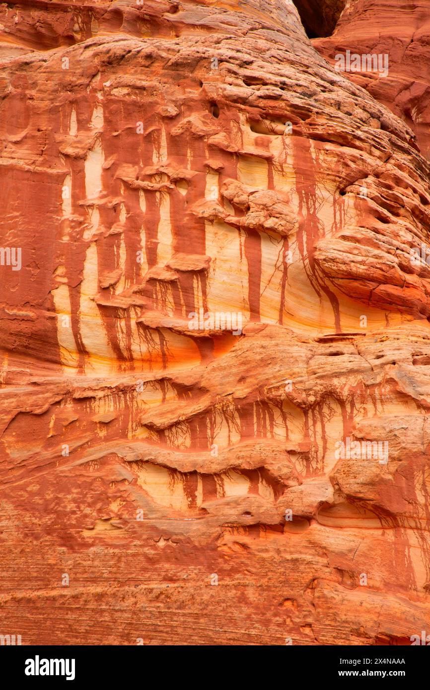 Sandsteinmuster entlang des Moqui Sand Caves Trail, Kane County, Utah Stockfotohttps://www.alamy.de/image-license-details/?v=1https://www.alamy.de/sandsteinmuster-entlang-des-moqui-sand-caves-trail-kane-county-utah-image605290626.html
RF2X4NAAA–Sandsteinmuster entlang des Moqui Sand Caves Trail, Kane County, Utah
 Die USA, Utah, Kane County, Kodachrome Basin State Park, Felsformationen in den Naturlehrpfad Stockfotohttps://www.alamy.de/image-license-details/?v=1https://www.alamy.de/stockfoto-die-usa-utah-kane-county-kodachrome-basin-state-park-felsformationen-in-den-naturlehrpfad-176639926.html
RMM7AJ0P–Die USA, Utah, Kane County, Kodachrome Basin State Park, Felsformationen in den Naturlehrpfad
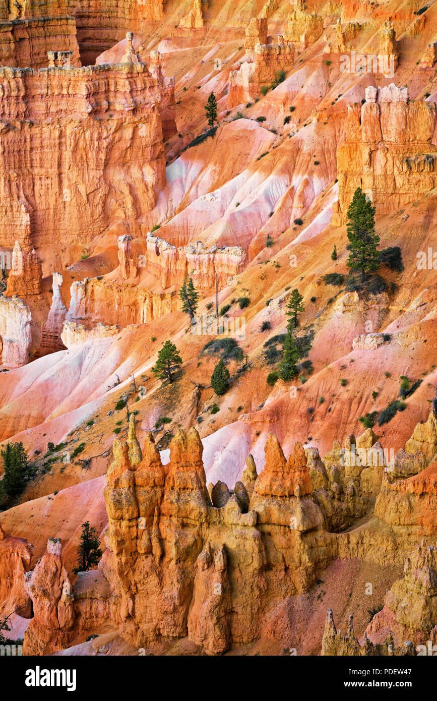 Die hoch aufragenden hoodoos Glühen am bürgerlichen Dämmerung vom Sunset Point in Utah Bryce Canyon National Park. Stockfotohttps://www.alamy.de/image-license-details/?v=1https://www.alamy.de/die-hoch-aufragenden-hoodoos-gluhen-am-burgerlichen-dammerung-vom-sunset-point-in-utah-bryce-canyon-national-park-image214841991.html
RMPDEW47–Die hoch aufragenden hoodoos Glühen am bürgerlichen Dämmerung vom Sunset Point in Utah Bryce Canyon National Park.
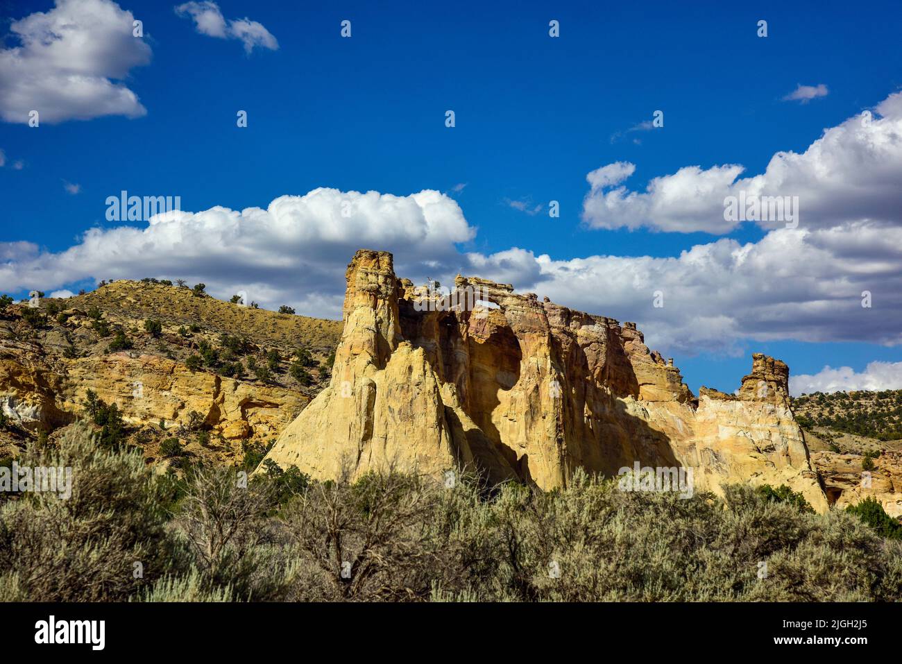 Grand Staircase-Escalante National Monument, Utah, Grosvenor Arch Stockfotohttps://www.alamy.de/image-license-details/?v=1https://www.alamy.de/grand-staircase-escalante-national-monument-utah-grosvenor-arch-image474889693.html
RM2JGH2J5–Grand Staircase-Escalante National Monument, Utah, Grosvenor Arch
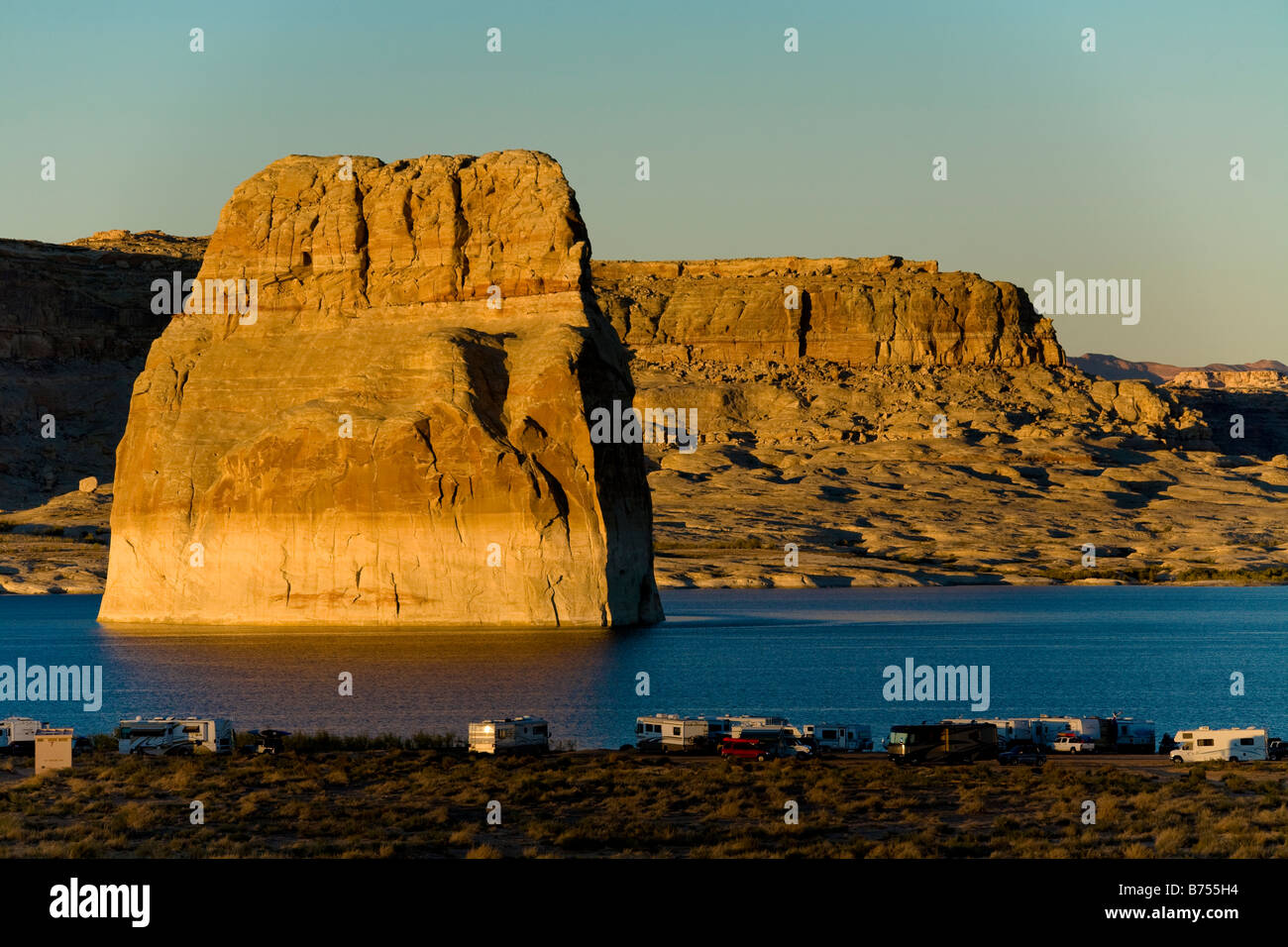 Lone Rock, Lake Powell in der Glen Canyon National Recreation Area, Kane County Utah, in der Nähe von Page, Arizona, USA Stockfotohttps://www.alamy.de/image-license-details/?v=1https://www.alamy.de/stockfoto-lone-rock-lake-powell-in-der-glen-canyon-national-recreation-area-kane-county-utah-in-der-nahe-von-page-arizona-usa-21627120.html
RMB755H4–Lone Rock, Lake Powell in der Glen Canyon National Recreation Area, Kane County Utah, in der Nähe von Page, Arizona, USA
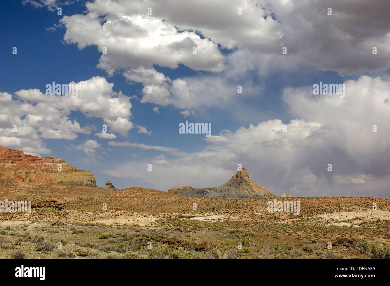 Nordamerika, USA, Colorado Plateau, Utah, Kane County, Big Water, Glen Canyon National Recreation Stockfotohttps://www.alamy.de/image-license-details/?v=1https://www.alamy.de/nordamerika-usa-colorado-plateau-utah-kane-county-big-water-glen-canyon-national-recreation-image387702513.html
RM2DENAE9–Nordamerika, USA, Colorado Plateau, Utah, Kane County, Big Water, Glen Canyon National Recreation
 Stud Horse Point, Kanab, Kane County, Utah, USA Stockfotohttps://www.alamy.de/image-license-details/?v=1https://www.alamy.de/stockfoto-stud-horse-point-kanab-kane-county-utah-usa-90007981.html
RMF6C62N–Stud Horse Point, Kanab, Kane County, Utah, USA
 Landschaft von Kane County; Pahreah, Utah, Vereinigte Staaten von Amerika Stockfotohttps://www.alamy.de/image-license-details/?v=1https://www.alamy.de/stockfoto-landschaft-von-kane-county-pahreah-utah-vereinigte-staaten-von-amerika-49616076.html
RFCTM5PM–Landschaft von Kane County; Pahreah, Utah, Vereinigte Staaten von Amerika
 Golden Sunset über Der Rimrocks Bereich des Grand Staircase-Escalante National Monument, Utah Stockfotohttps://www.alamy.de/image-license-details/?v=1https://www.alamy.de/golden-sunset-uber-der-rimrocks-bereich-des-grand-staircase-escalante-national-monument-utah-image233056851.html
RMRF4JAY–Golden Sunset über Der Rimrocks Bereich des Grand Staircase-Escalante National Monument, Utah
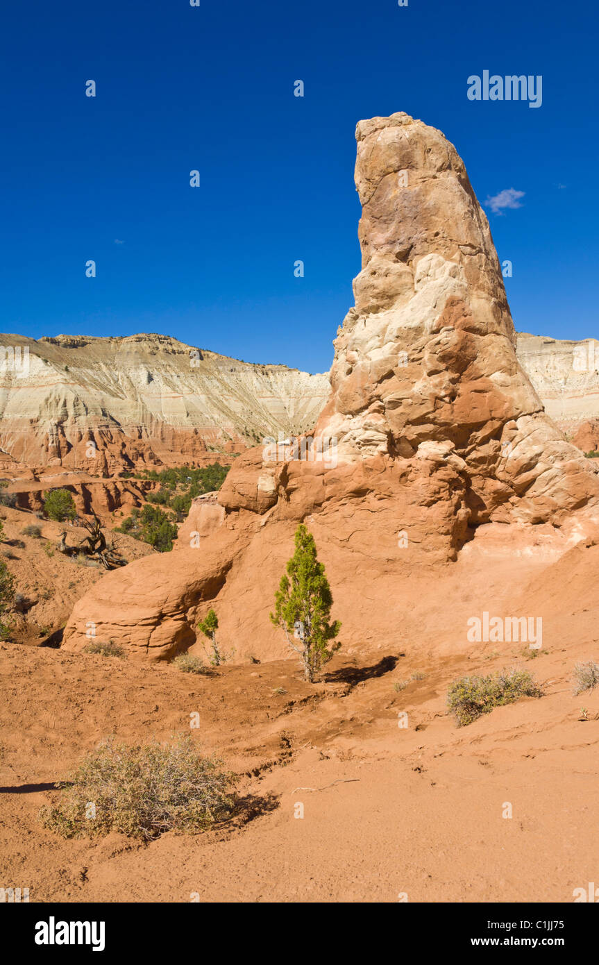 Große Säule aus Sedimentgestein Kodachrome Basin State Park Grand Staircase-Escalante National Monument Kane County Utah USA Stockfotohttps://www.alamy.de/image-license-details/?v=1https://www.alamy.de/stockfoto-grosse-saule-aus-sedimentgestein-kodachrome-basin-state-park-grand-staircase-escalante-national-monument-kane-county-utah-usa-35444841.html
RMC1JJ75–Große Säule aus Sedimentgestein Kodachrome Basin State Park Grand Staircase-Escalante National Monument Kane County Utah USA
 Usa. Utah. Kane County. Landschaft nahe Mount Carmel Junction entlang der Utah State Route 9 (Zion - Mount Carmel Highway). Stockfotohttps://www.alamy.de/image-license-details/?v=1https://www.alamy.de/usa-utah-kane-county-landschaft-nahe-mount-carmel-junction-entlang-der-utah-state-route-9-zion-mount-carmel-highway-image595152537.html
RF2WG7F3N–Usa. Utah. Kane County. Landschaft nahe Mount Carmel Junction entlang der Utah State Route 9 (Zion - Mount Carmel Highway).
 Windmühle Stockfotohttps://www.alamy.de/image-license-details/?v=1https://www.alamy.de/stockfoto-windmuhle-134465095.html
RFHPNBGR–Windmühle
 Blasse Crescent Phyciodes Pallida südlich von Tropic Reservior, Kane County, Utah, USA 26 Juni erwachsenen männlichen Nympha Stockfotohttps://www.alamy.de/image-license-details/?v=1https://www.alamy.de/stockfoto-blasse-crescent-phyciodes-pallida-sudlich-von-tropic-reservior-kane-county-utah-usa-26-juni-erwachsenen-mannlichen-nympha-84880178.html
RMEX2HEX–Blasse Crescent Phyciodes Pallida südlich von Tropic Reservior, Kane County, Utah, USA 26 Juni erwachsenen männlichen Nympha
 Utah, Kodachrome Sate Park Southern Utah ungewöhnliche Felsformation fand nach einer kurzen Wanderung Stockfotohttps://www.alamy.de/image-license-details/?v=1https://www.alamy.de/stockfoto-utah-kodachrome-sate-park-southern-utah-ungewohnliche-felsformation-fand-nach-einer-kurzen-wanderung-29426928.html
RMBKTE9M–Utah, Kodachrome Sate Park Southern Utah ungewöhnliche Felsformation fand nach einer kurzen Wanderung