Schnellfilter:
Ireland aerial Stockfotos & Bilder
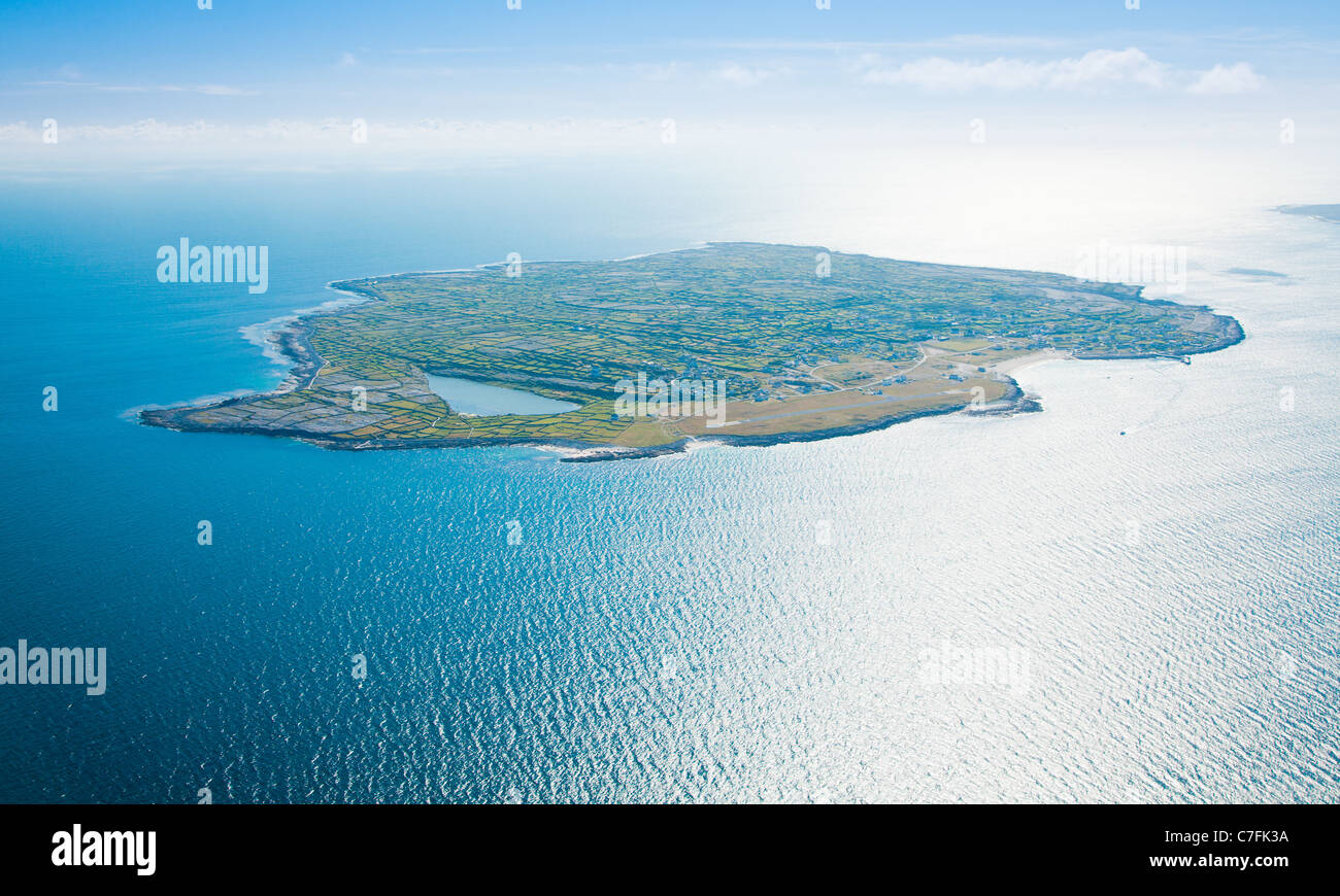 Aerial Landschaft Inisheer Insel, Teil der Aran-Inseln, Irland. Stockfotohttps://www.alamy.de/image-license-details/?v=1https://www.alamy.de/stockfoto-aerial-landschaft-inisheer-insel-teil-der-aran-inseln-irland-39067598.html
RFC7FK3A–Aerial Landschaft Inisheer Insel, Teil der Aran-Inseln, Irland.
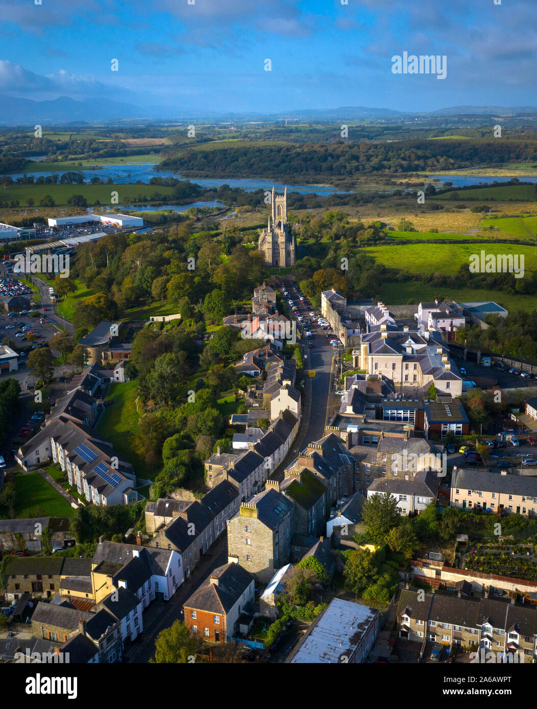 Antenne von Downpatrick, County Down, Nordirland Stockfotohttps://www.alamy.de/image-license-details/?v=1https://www.alamy.de/antenne-von-downpatrick-county-down-nordirland-image330924688.html
RF2A6AWPT–Antenne von Downpatrick, County Down, Nordirland
 Antenne-Schleife Kopf Halbinsel im Westen Clare, Irland. Kilkee Beach County Clare, Irland. Berühmten Strand und Landschaft auf dem Wilden Atlantik Weg. Epische Aeria Stockfotohttps://www.alamy.de/image-license-details/?v=1https://www.alamy.de/stockfoto-antenne-schleife-kopf-halbinsel-im-westen-clare-irland-kilkee-beach-county-clare-irland-beruhmten-strand-und-landschaft-auf-dem-wilden-atlantik-weg-epische-aeria-132384117.html
RFHKAH85–Antenne-Schleife Kopf Halbinsel im Westen Clare, Irland. Kilkee Beach County Clare, Irland. Berühmten Strand und Landschaft auf dem Wilden Atlantik Weg. Epische Aeria
 Stadtzentrum, Dom, Ennis, County Clare, Irland Stockfotohttps://www.alamy.de/image-license-details/?v=1https://www.alamy.de/stockfoto-stadtzentrum-dom-ennis-county-clare-irland-122072424.html
RMH2GTHC–Stadtzentrum, Dom, Ennis, County Clare, Irland
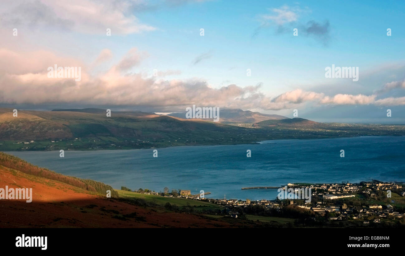 Luftaufnahme von Carlingford Village und Loch und Mourne MTS. Co. Louth, Irland. Stockfotohttps://www.alamy.de/image-license-details/?v=1https://www.alamy.de/stockfoto-luftaufnahme-von-carlingford-village-und-loch-und-mourne-mts-co-louth-irland-78924320.html
RMEGB8NM–Luftaufnahme von Carlingford Village und Loch und Mourne MTS. Co. Louth, Irland.
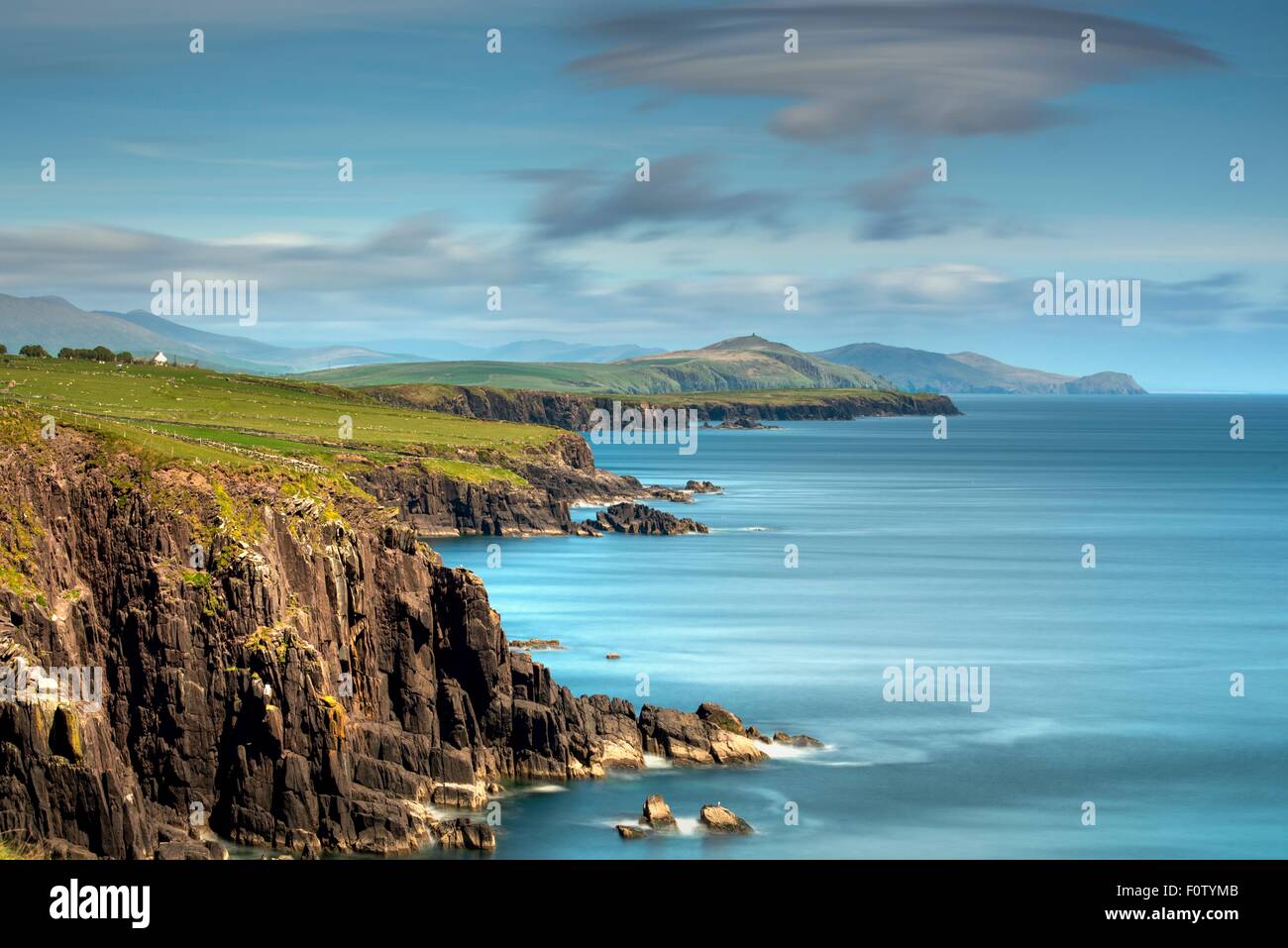 Küste der Halbinsel Dingle, County Kerry, Irland Stockfotohttps://www.alamy.de/image-license-details/?v=1https://www.alamy.de/stockfoto-kuste-der-halbinsel-dingle-county-kerry-irland-86600427.html
RFF0TYMB–Küste der Halbinsel Dingle, County Kerry, Irland
 Strand in Gorteen Bay SW von Roundstone in Connemara Region von Co. Galway, Irland. Aus der Luft Richtung Norden in Richtung der Twelve Pins Mountains, auch bekannt als Twelve Bens Stockfotohttps://www.alamy.de/image-license-details/?v=1https://www.alamy.de/strand-in-gorteen-bay-sw-von-roundstone-in-connemara-region-von-co-galway-irland-aus-der-luft-richtung-norden-in-richtung-der-twelve-pins-mountains-auch-bekannt-als-twelve-bens-image618274990.html
RM2XWTT1J–Strand in Gorteen Bay SW von Roundstone in Connemara Region von Co. Galway, Irland. Aus der Luft Richtung Norden in Richtung der Twelve Pins Mountains, auch bekannt als Twelve Bens
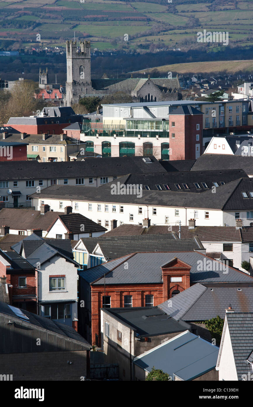 Luftaufnahme der Stadt Limerick, Irland Stockfotohttps://www.alamy.de/image-license-details/?v=1https://www.alamy.de/stockfoto-luftaufnahme-der-stadt-limerick-irland-35108713.html
RMC139EH–Luftaufnahme der Stadt Limerick, Irland
 Schloss Belfast. Touristenattraktion an den hängen des Cavehill Country Park in Belfast, Nordirland. Luftansicht Stockfotohttps://www.alamy.de/image-license-details/?v=1https://www.alamy.de/schloss-belfast-touristenattraktion-an-den-hangen-des-cavehill-country-park-in-belfast-nordirland-luftansicht-image342843949.html
RF2AWNTXN–Schloss Belfast. Touristenattraktion an den hängen des Cavehill Country Park in Belfast, Nordirland. Luftansicht
 Bray in Co. Wicklow, Irland Luftlandschaft Stockfotohttps://www.alamy.de/image-license-details/?v=1https://www.alamy.de/bray-in-co-wicklow-irland-luftlandschaft-image474283285.html
RM2JFHD4N–Bray in Co. Wicklow, Irland Luftlandschaft
 Antenne drone Ansicht der Stadt Dublin, Irland. Stockfotohttps://www.alamy.de/image-license-details/?v=1https://www.alamy.de/antenne-drone-ansicht-der-stadt-dublin-irland-image339785030.html
RM2AMPF7J–Antenne drone Ansicht der Stadt Dublin, Irland.
 Straße und Haus in den Vororten von Dublin, Irland, Luftaufnahme Stockfotohttps://www.alamy.de/image-license-details/?v=1https://www.alamy.de/strasse-und-haus-in-den-vororten-von-dublin-irland-luftaufnahme-image499034210.html
RF2KYTY6A–Straße und Haus in den Vororten von Dublin, Irland, Luftaufnahme
 Luftbild der Ruinen von Kilcrea Castle im County Cork Ireland Stockfotohttps://www.alamy.de/image-license-details/?v=1https://www.alamy.de/luftbild-der-ruinen-von-kilcrea-castle-im-county-cork-ireland-image441738057.html
RF2GJJWB5–Luftbild der Ruinen von Kilcrea Castle im County Cork Ireland
 Luftbild Straße grüne Wiesen steigen Drohne schießen. Auto fährt entlang Ackerland Weg in irischen Landseite. Dramatische Sommerlandschaft von Nordirland in Pastelltönen Stockfotohttps://www.alamy.de/image-license-details/?v=1https://www.alamy.de/luftbild-strasse-grune-wiesen-steigen-drohne-schiessen-auto-fahrt-entlang-ackerland-weg-in-irischen-landseite-dramatische-sommerlandschaft-von-nordirland-in-pastelltonen-image369324062.html
RF2CCT4H2–Luftbild Straße grüne Wiesen steigen Drohne schießen. Auto fährt entlang Ackerland Weg in irischen Landseite. Dramatische Sommerlandschaft von Nordirland in Pastelltönen
 Mäander auf die Cronaniv brennen, vergiftet Glen, Derryveagh Mountains, County Donegal, Irland. Stockfotohttps://www.alamy.de/image-license-details/?v=1https://www.alamy.de/stockfoto-maander-auf-die-cronaniv-brennen-vergiftet-glen-derryveagh-mountains-county-donegal-irland-76599670.html
RMECHBJE–Mäander auf die Cronaniv brennen, vergiftet Glen, Derryveagh Mountains, County Donegal, Irland.
 Dublin, Irland Stockfotohttps://www.alamy.de/image-license-details/?v=1https://www.alamy.de/dublin-irland-image185801482.html
RMMP7YK6–Dublin, Irland
 Boote im Hafen von Howth-Halbinsel in der Nähe von Dublin Irland Europa Stockfotohttps://www.alamy.de/image-license-details/?v=1https://www.alamy.de/stockfoto-boote-im-hafen-von-howth-halbinsel-in-der-nahe-von-dublin-irland-europa-57754348.html
RMD9XX78–Boote im Hafen von Howth-Halbinsel in der Nähe von Dublin Irland Europa
 Luftaufnahme von Clondalkin der Runde Turm und der Glückliche Birne auf dem Gelände. Stockfotohttps://www.alamy.de/image-license-details/?v=1https://www.alamy.de/luftaufnahme-von-clondalkin-der-runde-turm-und-der-gluckliche-birne-auf-dem-gelande-image182822036.html
RMMHC7AC–Luftaufnahme von Clondalkin der Runde Turm und der Glückliche Birne auf dem Gelände.
 Luftbild der Stadt Kilkenny, Irland aus St. Canice Kathedrale Stockfotohttps://www.alamy.de/image-license-details/?v=1https://www.alamy.de/stockfoto-luftbild-der-stadt-kilkenny-irland-aus-st-canice-kathedrale-104786755.html
RFG2DCG3–Luftbild der Stadt Kilkenny, Irland aus St. Canice Kathedrale
 Aerial Landschaft Inisheer Insel, Teil der Aran-Inseln, Irland. Stockfotohttps://www.alamy.de/image-license-details/?v=1https://www.alamy.de/stockfoto-aerial-landschaft-inisheer-insel-teil-der-aran-inseln-irland-39071010.html
RFC7FRD6–Aerial Landschaft Inisheer Insel, Teil der Aran-Inseln, Irland.
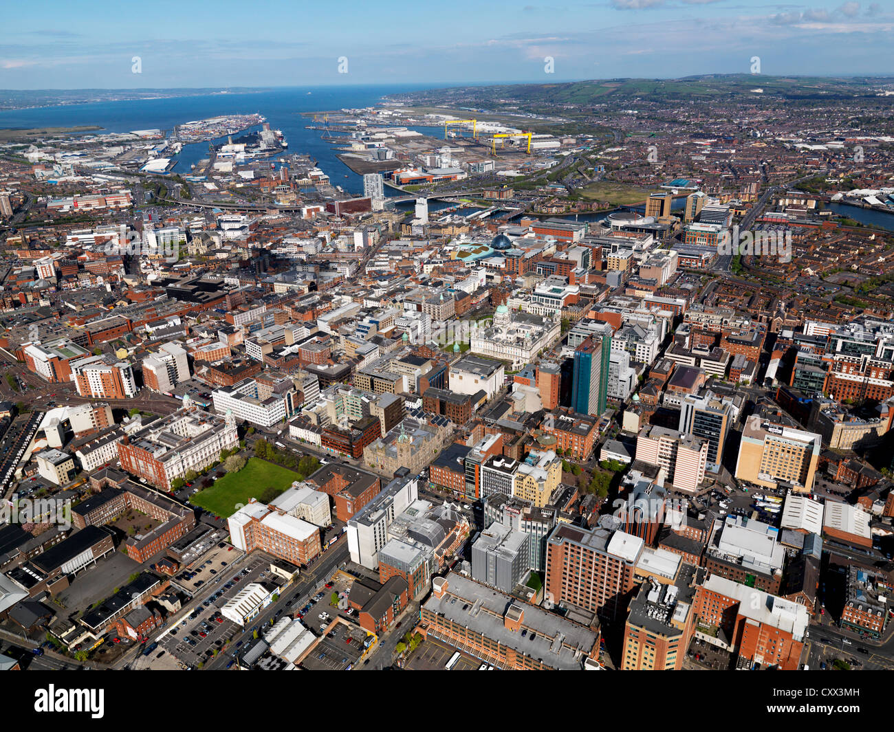 Belfast, Nordirland, Antenne, April 2012 Stockfotohttps://www.alamy.de/image-license-details/?v=1https://www.alamy.de/stockfoto-belfast-nordirland-antenne-april-2012-50975473.html
RFCXX3MH–Belfast, Nordirland, Antenne, April 2012
 Aerial Dunguaire Castle Abendsonne, in der Nähe von Kinvarra im County Galway, Irland - wilden Atlantik Weg Route. Berühmten öffentlichen Sehenswürdigkeit in Irland Stockfotohttps://www.alamy.de/image-license-details/?v=1https://www.alamy.de/stockfoto-aerial-dunguaire-castle-abendsonne-in-der-nahe-von-kinvarra-im-county-galway-irland-wilden-atlantik-weg-route-beruhmten-offentlichen-sehenswurdigkeit-in-irland-132384134.html
RMHKAH8P–Aerial Dunguaire Castle Abendsonne, in der Nähe von Kinvarra im County Galway, Irland - wilden Atlantik Weg Route. Berühmten öffentlichen Sehenswürdigkeit in Irland
 Luftaufnahme, Kathedrale von Galway, Galway, County Clare, Irland Stockfotohttps://www.alamy.de/image-license-details/?v=1https://www.alamy.de/stockfoto-luftaufnahme-kathedrale-von-galway-galway-county-clare-irland-122072480.html
RMH2GTKC–Luftaufnahme, Kathedrale von Galway, Galway, County Clare, Irland
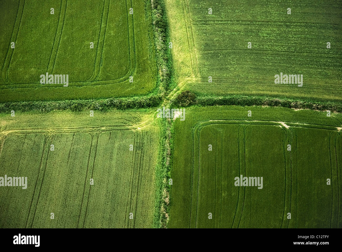 Ackerland in County Cork, Irland, Luftbild Stockfotohttps://www.alamy.de/image-license-details/?v=1https://www.alamy.de/stockfoto-ackerland-in-county-cork-irland-luftbild-35098559.html
RFC12TFY–Ackerland in County Cork, Irland, Luftbild
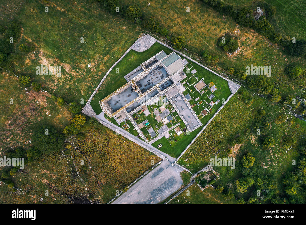 Corcomroe Abbey Ruinen und dem Friedhof in der Region Burren, County Clare, Irland. Luftaufnahme von einer Drohne. Stockfotohttps://www.alamy.de/image-license-details/?v=1https://www.alamy.de/corcomroe-abbey-ruinen-und-dem-friedhof-in-der-region-burren-county-clare-irland-luftaufnahme-von-einer-drohne-image219124055.html
RFPMDXY3–Corcomroe Abbey Ruinen und dem Friedhof in der Region Burren, County Clare, Irland. Luftaufnahme von einer Drohne.
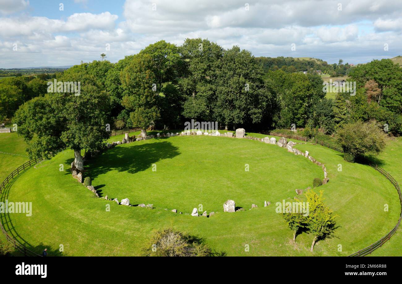 Grange Neolithischer Steinkreis. Lough Gur, Irland. Die Antenne zeigt eine 9m mm breite Erdbank mit einem Ring mit 45m mm Durchmesser aus 113 zusammenhängenden Steinen bis zu einer Höhe von 2,8m mm Stockfotohttps://www.alamy.de/image-license-details/?v=1https://www.alamy.de/grange-neolithischer-steinkreis-lough-gur-irland-die-antenne-zeigt-eine-9m-mm-breite-erdbank-mit-einem-ring-mit-45m-mm-durchmesser-aus-113-zusammenhangenden-steinen-bis-zu-einer-hohe-von-28m-mm-image502938584.html
RM2M66R88–Grange Neolithischer Steinkreis. Lough Gur, Irland. Die Antenne zeigt eine 9m mm breite Erdbank mit einem Ring mit 45m mm Durchmesser aus 113 zusammenhängenden Steinen bis zu einer Höhe von 2,8m mm
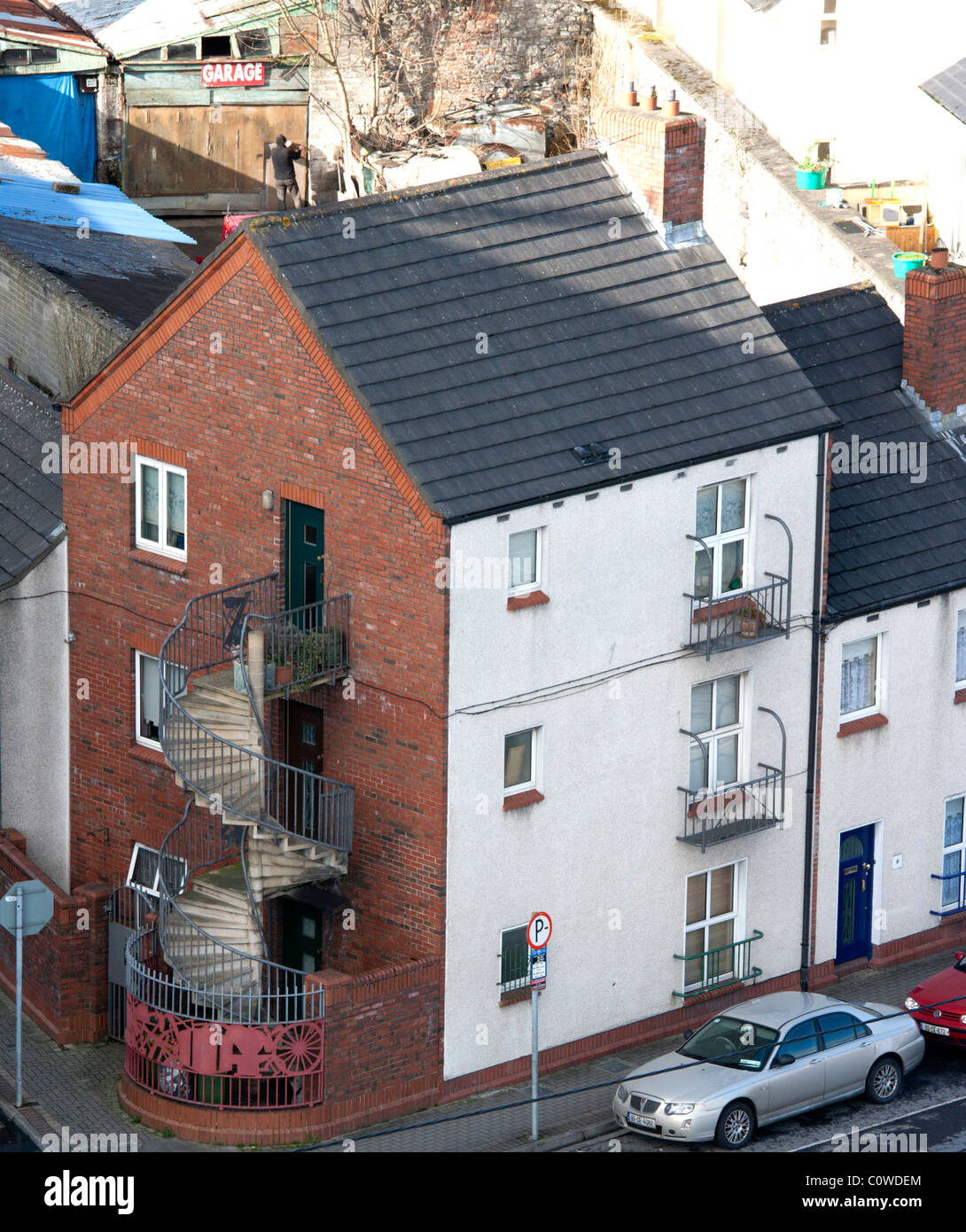 Luftaufnahme der Stadt Limerick, Irland Stockfotohttps://www.alamy.de/image-license-details/?v=1https://www.alamy.de/stockfoto-luftaufnahme-der-stadt-limerick-irland-34980140.html
RMC0WDEM–Luftaufnahme der Stadt Limerick, Irland
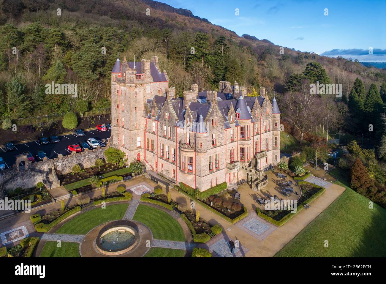 Schloss Belfast. Jahrhundert erbaut. Touristenattraktion an den hängen des Cavehill Country Park in Belfast, Nordirland. Luftansicht Stockfotohttps://www.alamy.de/image-license-details/?v=1https://www.alamy.de/schloss-belfast-jahrhundert-erbaut-touristenattraktion-an-den-hangen-des-cavehill-country-park-in-belfast-nordirland-luftansicht-image347956805.html
RF2B62PCN–Schloss Belfast. Jahrhundert erbaut. Touristenattraktion an den hängen des Cavehill Country Park in Belfast, Nordirland. Luftansicht
 Bray in Co. Wicklow, Irland Luftlandschaft Stockfotohttps://www.alamy.de/image-license-details/?v=1https://www.alamy.de/bray-in-co-wicklow-irland-luftlandschaft-image474283485.html
RM2JFHDBW–Bray in Co. Wicklow, Irland Luftlandschaft
 Antenne drone Ansicht der Samuel Beckett Brücke und den Fluss Liffey in Dublin, Irland. Stockfotohttps://www.alamy.de/image-license-details/?v=1https://www.alamy.de/antenne-drone-ansicht-der-samuel-beckett-brucke-und-den-fluss-liffey-in-dublin-irland-image339784903.html
RM2AMPF33–Antenne drone Ansicht der Samuel Beckett Brücke und den Fluss Liffey in Dublin, Irland.
 Straße und Haus in den Vororten von Dublin, Irland, Luftaufnahme Stockfotohttps://www.alamy.de/image-license-details/?v=1https://www.alamy.de/strasse-und-haus-in-den-vororten-von-dublin-irland-luftaufnahme-image499034259.html
RF2KYTY83–Straße und Haus in den Vororten von Dublin, Irland, Luftaufnahme
 Little Skelig Ireland aus einer Luftaufnahme Stockfotohttps://www.alamy.de/image-license-details/?v=1https://www.alamy.de/little-skelig-ireland-aus-einer-luftaufnahme-image479655919.html
RF2JTA60F–Little Skelig Ireland aus einer Luftaufnahme
 Irland Luftbild grüne Felder Landschaftsaufnahme: Straße entlang Wiesen. Breite Pflanzen und Farmen auf felsigen Küsten des Atlantischen Ozeans. Epische Landschaft der nordirischen Insel. Panoramaaufnahme Stockfotohttps://www.alamy.de/image-license-details/?v=1https://www.alamy.de/irland-luftbild-grune-felder-landschaftsaufnahme-strasse-entlang-wiesen-breite-pflanzen-und-farmen-auf-felsigen-kusten-des-atlantischen-ozeans-epische-landschaft-der-nordirischen-insel-panoramaaufnahme-image369531932.html
RF2CD5HN0–Irland Luftbild grüne Felder Landschaftsaufnahme: Straße entlang Wiesen. Breite Pflanzen und Farmen auf felsigen Küsten des Atlantischen Ozeans. Epische Landschaft der nordirischen Insel. Panoramaaufnahme
 Mäander auf die Cronaniv brennen, vergiftet Glen, Derryveagh Mountains, County Donegal, Irland. Stockfotohttps://www.alamy.de/image-license-details/?v=1https://www.alamy.de/stockfoto-maander-auf-die-cronaniv-brennen-vergiftet-glen-derryveagh-mountains-county-donegal-irland-76599667.html
RMECHBJB–Mäander auf die Cronaniv brennen, vergiftet Glen, Derryveagh Mountains, County Donegal, Irland.
 Die wunderschönen Wicklow Mountains in Irland - Luftaufnahmen Stockfotohttps://www.alamy.de/image-license-details/?v=1https://www.alamy.de/die-wunderschonen-wicklow-mountains-in-irland-luftaufnahmen-image418777802.html
RF2F98YA2–Die wunderschönen Wicklow Mountains in Irland - Luftaufnahmen
 Luftbild der Ruinen von Kilcrea Castle im County Cork Ireland Stockfotohttps://www.alamy.de/image-license-details/?v=1https://www.alamy.de/luftbild-der-ruinen-von-kilcrea-castle-im-county-cork-ireland-image441738061.html
RF2GJJWB9–Luftbild der Ruinen von Kilcrea Castle im County Cork Ireland
 Portballintrae , Nordirland vom Himmel. Stockfotohttps://www.alamy.de/image-license-details/?v=1https://www.alamy.de/portballintrae-nordirland-vom-himmel-image485158919.html
RF2K58W47–Portballintrae , Nordirland vom Himmel.
 Luftbild der Stadt Kilkenny, Irland aus St. Canice Kathedrale Stockfotohttps://www.alamy.de/image-license-details/?v=1https://www.alamy.de/stockfoto-luftbild-der-stadt-kilkenny-irland-aus-st-canice-kathedrale-104786768.html
RFG2DCGG–Luftbild der Stadt Kilkenny, Irland aus St. Canice Kathedrale
 Blick über die Dingle-Halbinsel von Brandon Bay von Connor Pass, County Kerry, Irland. Stockfotohttps://www.alamy.de/image-license-details/?v=1https://www.alamy.de/stockfoto-blick-uber-die-dingle-halbinsel-von-brandon-bay-von-connor-pass-county-kerry-irland-37774263.html
RFC5CNCR–Blick über die Dingle-Halbinsel von Brandon Bay von Connor Pass, County Kerry, Irland.
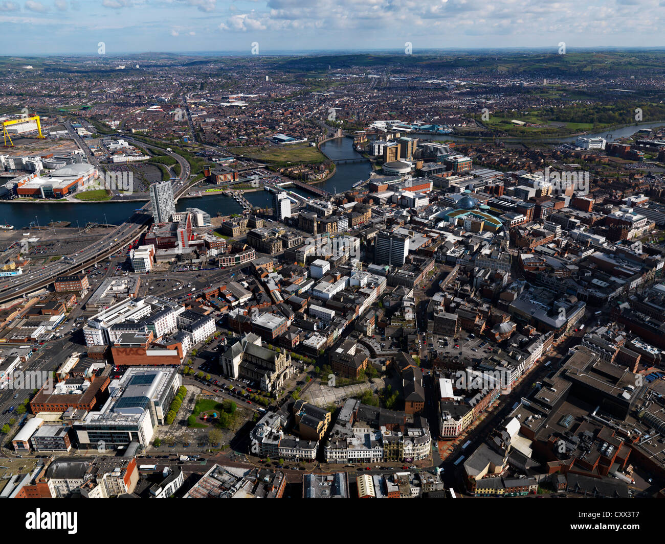 Belfast, Nordirland, Antenne, April 2012 Stockfotohttps://www.alamy.de/image-license-details/?v=1https://www.alamy.de/stockfoto-belfast-nordirland-antenne-april-2012-50975575.html
RFCXX3T7–Belfast, Nordirland, Antenne, April 2012
 Aerial Dunguaire Castle Abendsonne, in der Nähe von Kinvarra im County Galway, Irland - wilden Atlantik Weg Route. Berühmten öffentlichen Sehenswürdigkeit in Irland Stockfotohttps://www.alamy.de/image-license-details/?v=1https://www.alamy.de/stockfoto-aerial-dunguaire-castle-abendsonne-in-der-nahe-von-kinvarra-im-county-galway-irland-wilden-atlantik-weg-route-beruhmten-offentlichen-sehenswurdigkeit-in-irland-132384131.html
RMHKAH8K–Aerial Dunguaire Castle Abendsonne, in der Nähe von Kinvarra im County Galway, Irland - wilden Atlantik Weg Route. Berühmten öffentlichen Sehenswürdigkeit in Irland
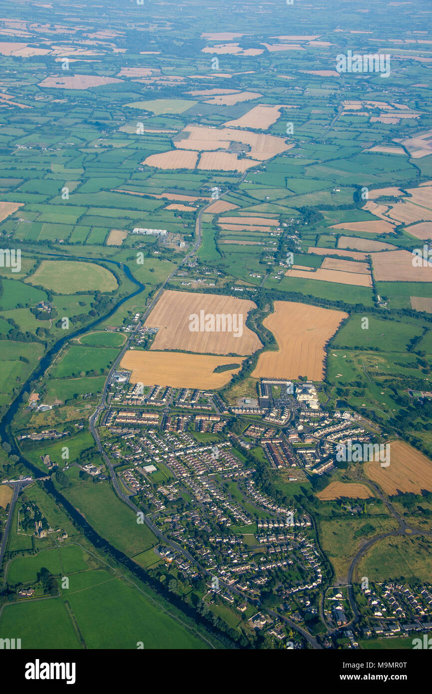 Antenne z.b Feldern rund um Dublin, Irland Stockfotohttps://www.alamy.de/image-license-details/?v=1https://www.alamy.de/antenne-zb-feldern-rund-um-dublin-irland-image178092680.html
RFM9MR0T–Antenne z.b Feldern rund um Dublin, Irland
 Einen Panoramablick über Dublin Kathedrale Bezirk von der Gravity Bar des Guinness Storehouse in Dublin, Irland. Stockfotohttps://www.alamy.de/image-license-details/?v=1https://www.alamy.de/einen-panoramablick-uber-dublin-kathedrale-bezirk-von-der-gravity-bar-des-guinness-storehouse-in-dublin-irland-image230898681.html
RMRBJ9HD–Einen Panoramablick über Dublin Kathedrale Bezirk von der Gravity Bar des Guinness Storehouse in Dublin, Irland.
 Luftaufnahme des Strokestown Parks und des Irish National Hungersnot Museum, County Roscommon, Irland. Stockfotohttps://www.alamy.de/image-license-details/?v=1https://www.alamy.de/luftaufnahme-des-strokestown-parks-und-des-irish-national-hungersnot-museum-county-roscommon-irland-image402184466.html
RF2EA92AX–Luftaufnahme des Strokestown Parks und des Irish National Hungersnot Museum, County Roscommon, Irland.
 Beltany prähistorischer Steinkreis. Raphoe, Donegal, Irland. Veranstaltungsort für Jungsteinzeit und Bronzezeit 2100-700 v. Chr. Ausreißer Stein oben rechts. Antenne Stockfotohttps://www.alamy.de/image-license-details/?v=1https://www.alamy.de/beltany-prahistorischer-steinkreis-raphoe-donegal-irland-veranstaltungsort-fur-jungsteinzeit-und-bronzezeit-2100-700-v-chr-ausreisser-stein-oben-rechts-antenne-image502934447.html
RM2M66J0F–Beltany prähistorischer Steinkreis. Raphoe, Donegal, Irland. Veranstaltungsort für Jungsteinzeit und Bronzezeit 2100-700 v. Chr. Ausreißer Stein oben rechts. Antenne
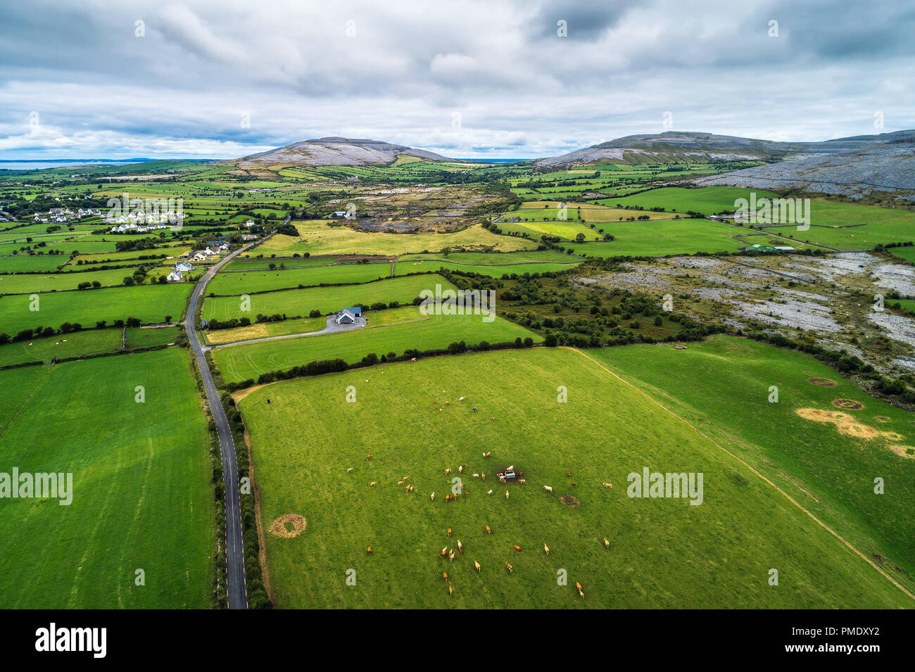 Luftaufnahme des Burren in Irland. Der Burren ist eine Region von Vergletscherten Karstlandschaft dominiert und es ist im Nordwesten der Grafschaft Clare. Stockfotohttps://www.alamy.de/image-license-details/?v=1https://www.alamy.de/luftaufnahme-des-burren-in-irland-der-burren-ist-eine-region-von-vergletscherten-karstlandschaft-dominiert-und-es-ist-im-nordwesten-der-grafschaft-clare-image219124054.html
RFPMDXY2–Luftaufnahme des Burren in Irland. Der Burren ist eine Region von Vergletscherten Karstlandschaft dominiert und es ist im Nordwesten der Grafschaft Clare.
 Schloss Belfast. Touristenattraktion an den hängen des Cave Hill Country Park in Belfast, Nordirland. Luftansicht. Belfast Lough und Stadt in der BA Stockfotohttps://www.alamy.de/image-license-details/?v=1https://www.alamy.de/schloss-belfast-touristenattraktion-an-den-hangen-des-cave-hill-country-park-in-belfast-nordirland-luftansicht-belfast-lough-und-stadt-in-der-ba-image342843955.html
RF2AWNTXY–Schloss Belfast. Touristenattraktion an den hängen des Cave Hill Country Park in Belfast, Nordirland. Luftansicht. Belfast Lough und Stadt in der BA
 Bray in Co. Wicklow, Irland Luftlandschaft Stockfotohttps://www.alamy.de/image-license-details/?v=1https://www.alamy.de/bray-in-co-wicklow-irland-luftlandschaft-image474283368.html
RM2JFHD7M–Bray in Co. Wicklow, Irland Luftlandschaft
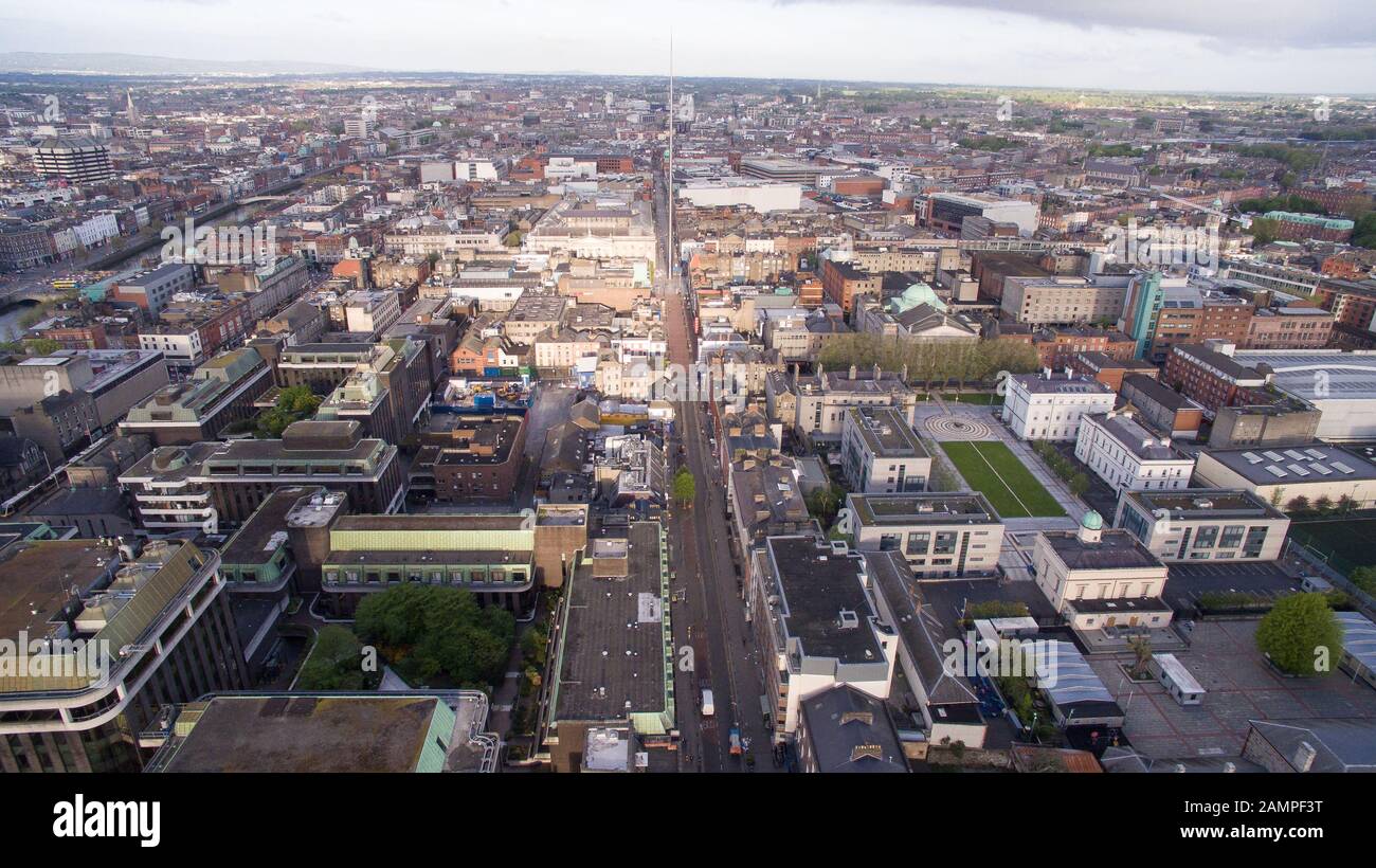 Antenne drone Aussicht auf das Stadtzentrum in Dublin, Irland. Stockfotohttps://www.alamy.de/image-license-details/?v=1https://www.alamy.de/antenne-drone-aussicht-auf-das-stadtzentrum-in-dublin-irland-image339784924.html
RM2AMPF3T–Antenne drone Aussicht auf das Stadtzentrum in Dublin, Irland.
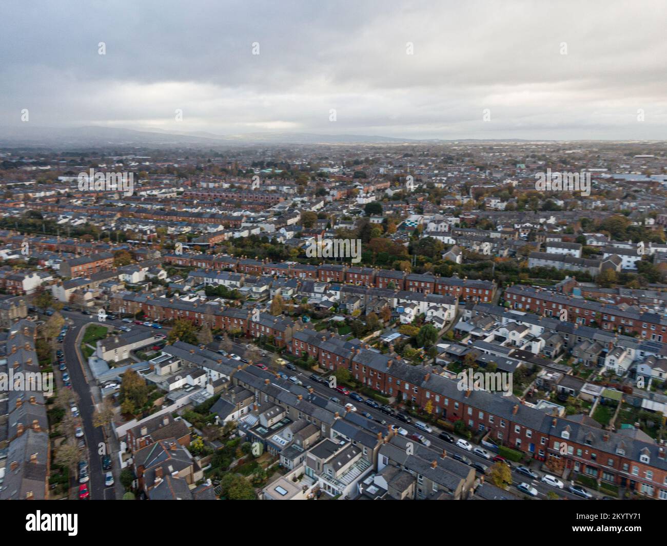 Straße und Haus in den Vororten von Dublin, Irland, Luftaufnahme Stockfotohttps://www.alamy.de/image-license-details/?v=1https://www.alamy.de/strasse-und-haus-in-den-vororten-von-dublin-irland-luftaufnahme-image499034229.html
RF2KYTY71–Straße und Haus in den Vororten von Dublin, Irland, Luftaufnahme
 Skelig Michael von einer Luftaufnahme in Irland Stockfotohttps://www.alamy.de/image-license-details/?v=1https://www.alamy.de/skelig-michael-von-einer-luftaufnahme-in-irland-image479655868.html
RF2JTA5XM–Skelig Michael von einer Luftaufnahme in Irland
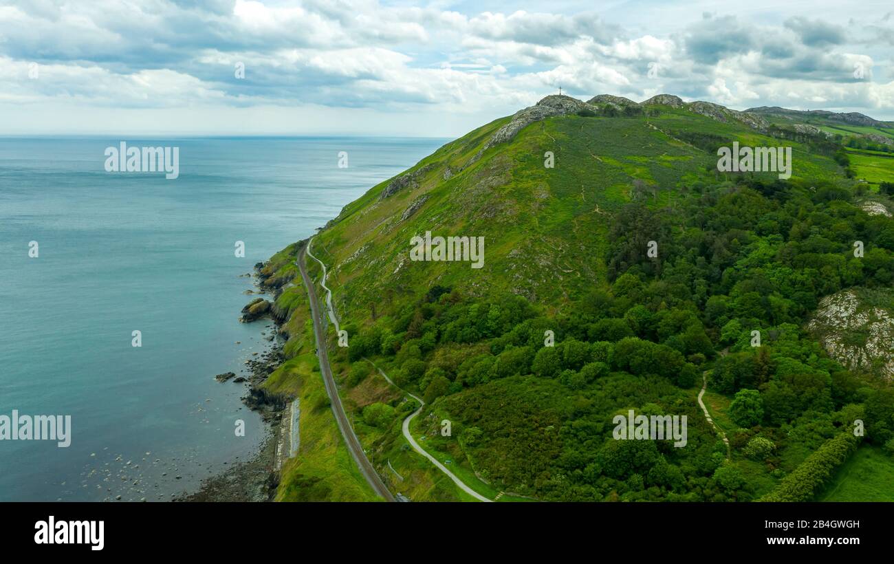 Bray Head in der Grafschaft Wicklow Ireland Aerial Stockfotohttps://www.alamy.de/image-license-details/?v=1https://www.alamy.de/bray-head-in-der-grafschaft-wicklow-ireland-aerial-image347037281.html
RF2B4GWGH–Bray Head in der Grafschaft Wicklow Ireland Aerial
 Blick entlang der Ow Flusstal von den Hängen des Lugnaquilla, Wicklow Mountains, County Wicklow, Ireland. Stockfotohttps://www.alamy.de/image-license-details/?v=1https://www.alamy.de/blick-entlang-der-ow-flusstal-von-den-hangen-des-lugnaquilla-wicklow-mountains-county-wicklow-ireland-image66273812.html
RMDRR0WT–Blick entlang der Ow Flusstal von den Hängen des Lugnaquilla, Wicklow Mountains, County Wicklow, Ireland.
 Schöner Dunree Head in Irland - Luftaufnahmen Stockfotohttps://www.alamy.de/image-license-details/?v=1https://www.alamy.de/schoner-dunree-head-in-irland-luftaufnahmen-image418777797.html
RF2F98Y9W–Schöner Dunree Head in Irland - Luftaufnahmen
 Luftaufnahme, Burren, Naturschutzgebiet, Kalkstein, Kreide-Formation, Mullaghmore Burren County Clare, COUNTY CLARE, Galway, Irland, Stockfotohttps://www.alamy.de/image-license-details/?v=1https://www.alamy.de/stockfoto-luftaufnahme-burren-naturschutzgebiet-kalkstein-kreide-formation-mullaghmore-burren-county-clare-county-clare-galway-irland-104946899.html
RMG2MMRF–Luftaufnahme, Burren, Naturschutzgebiet, Kalkstein, Kreide-Formation, Mullaghmore Burren County Clare, COUNTY CLARE, Galway, Irland,
 Portballintrae , Nordirland vom Himmel. Stockfotohttps://www.alamy.de/image-license-details/?v=1https://www.alamy.de/portballintrae-nordirland-vom-himmel-image485158930.html
RF2K58W4J–Portballintrae , Nordirland vom Himmel.
 Luftbild der Stadt Kilkenny, Irland aus St. Canice Kathedrale Stockfotohttps://www.alamy.de/image-license-details/?v=1https://www.alamy.de/stockfoto-luftbild-der-stadt-kilkenny-irland-aus-st-canice-kathedrale-104786784.html
RFG2DCH4–Luftbild der Stadt Kilkenny, Irland aus St. Canice Kathedrale
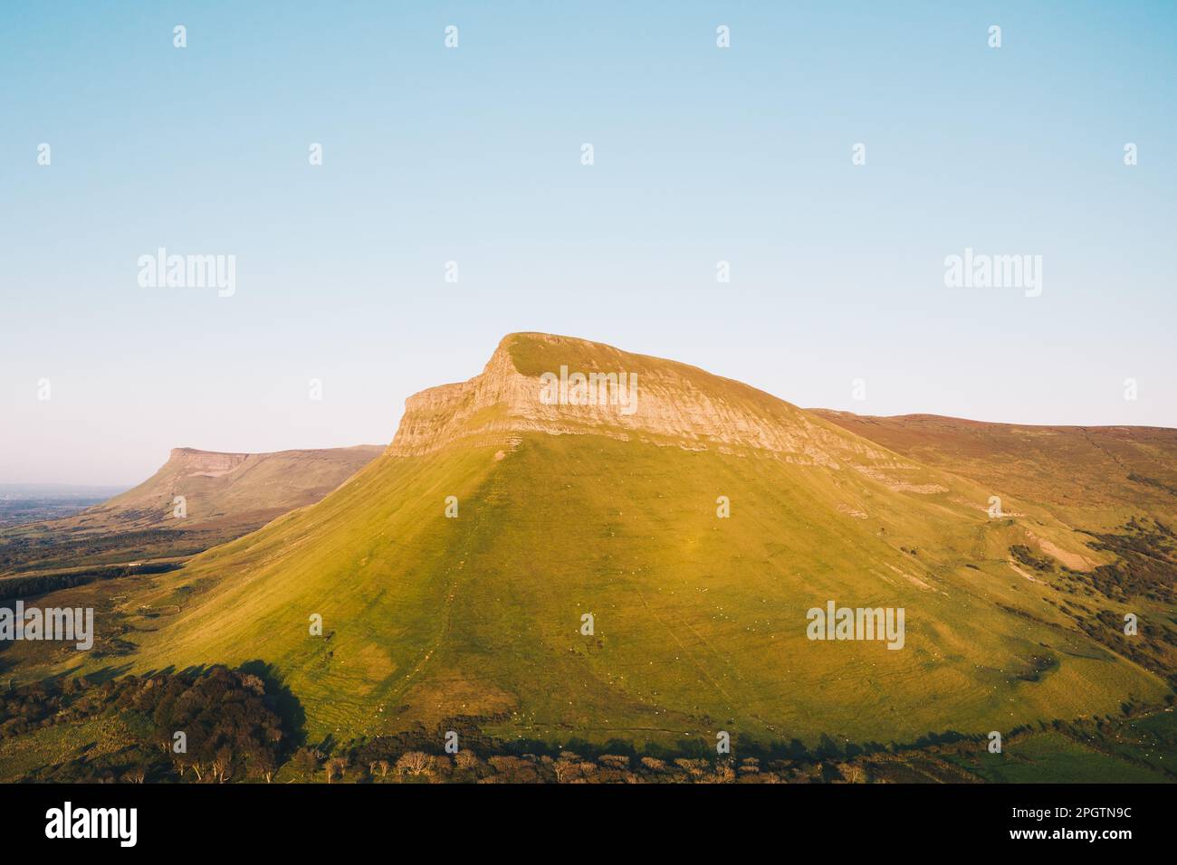 County Sligo / Irland : Benbulbin oder Benbulben aus der Vogelperspektive eine große Felsformation mit flacher Spitze, Teil der Dartry Mountains Stockfotohttps://www.alamy.de/image-license-details/?v=1https://www.alamy.de/county-sligo-irland-benbulbin-oder-benbulben-aus-der-vogelperspektive-eine-grosse-felsformation-mit-flacher-spitze-teil-der-dartry-mountains-image543899480.html
RM2PGTN9C–County Sligo / Irland : Benbulbin oder Benbulben aus der Vogelperspektive eine große Felsformation mit flacher Spitze, Teil der Dartry Mountains
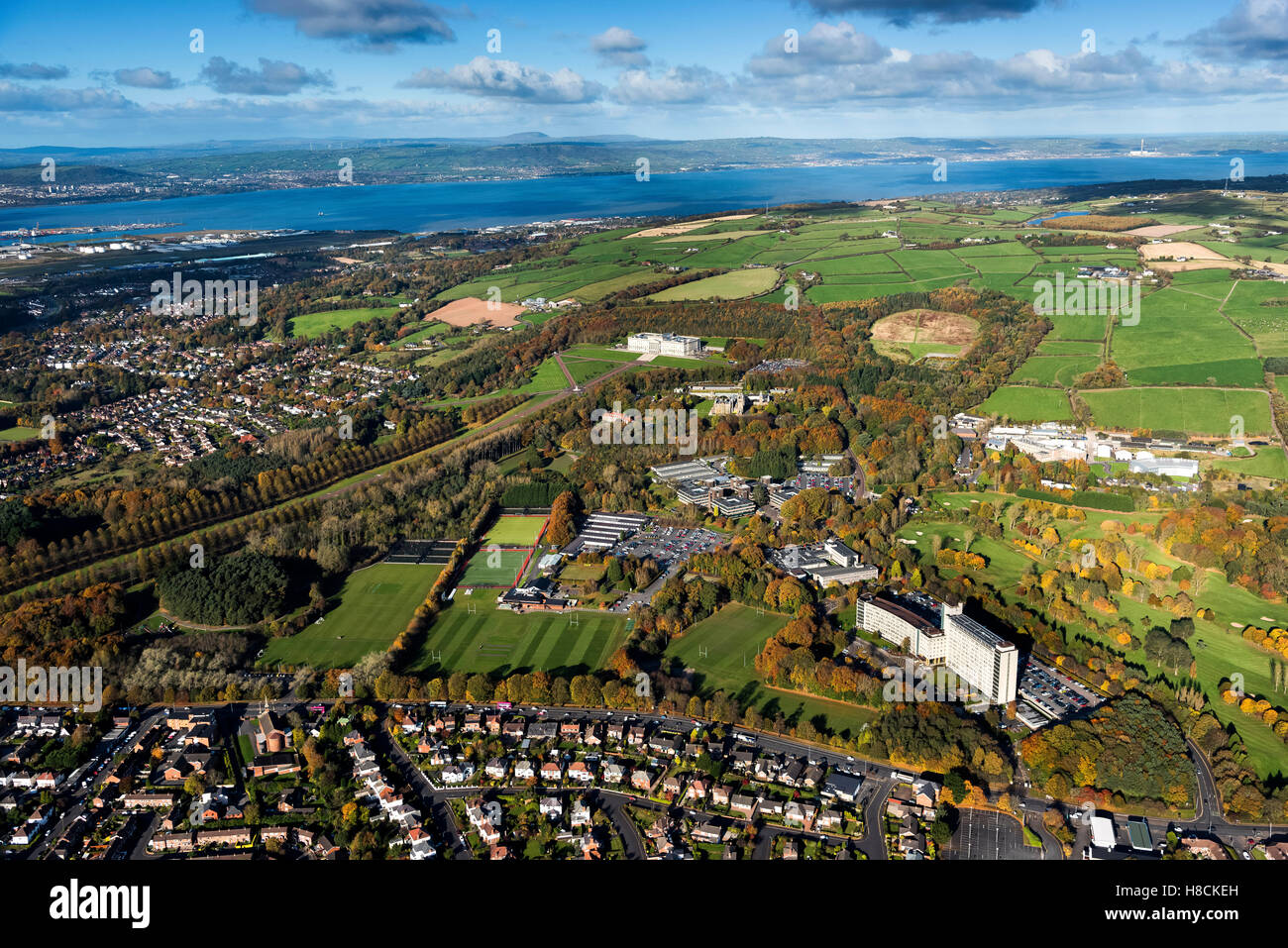 Luftaufnahmen von Stormont Estate Belfast Nordirland Stockfotohttps://www.alamy.de/image-license-details/?v=1https://www.alamy.de/stockfoto-luftaufnahmen-von-stormont-estate-belfast-nordirland-125668553.html
RFH8CKEH–Luftaufnahmen von Stormont Estate Belfast Nordirland
 Aerial Dunguaire Castle Abendsonne, in der Nähe von Kinvarra im County Galway, Irland - wilden Atlantik Weg Route. Berühmten öffentlichen Sehenswürdigkeit in Irland Stockfotohttps://www.alamy.de/image-license-details/?v=1https://www.alamy.de/stockfoto-aerial-dunguaire-castle-abendsonne-in-der-nahe-von-kinvarra-im-county-galway-irland-wilden-atlantik-weg-route-beruhmten-offentlichen-sehenswurdigkeit-in-irland-132384132.html
RMHKAH8M–Aerial Dunguaire Castle Abendsonne, in der Nähe von Kinvarra im County Galway, Irland - wilden Atlantik Weg Route. Berühmten öffentlichen Sehenswürdigkeit in Irland
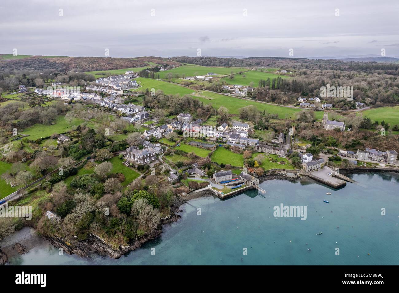 Luftaufnahme des Dorfes Castletownshend, West Cork, Irland. Stockfotohttps://www.alamy.de/image-license-details/?v=1https://www.alamy.de/luftaufnahme-des-dorfes-castletownshend-west-cork-irland-image504200778.html
RM2M8896J–Luftaufnahme des Dorfes Castletownshend, West Cork, Irland.
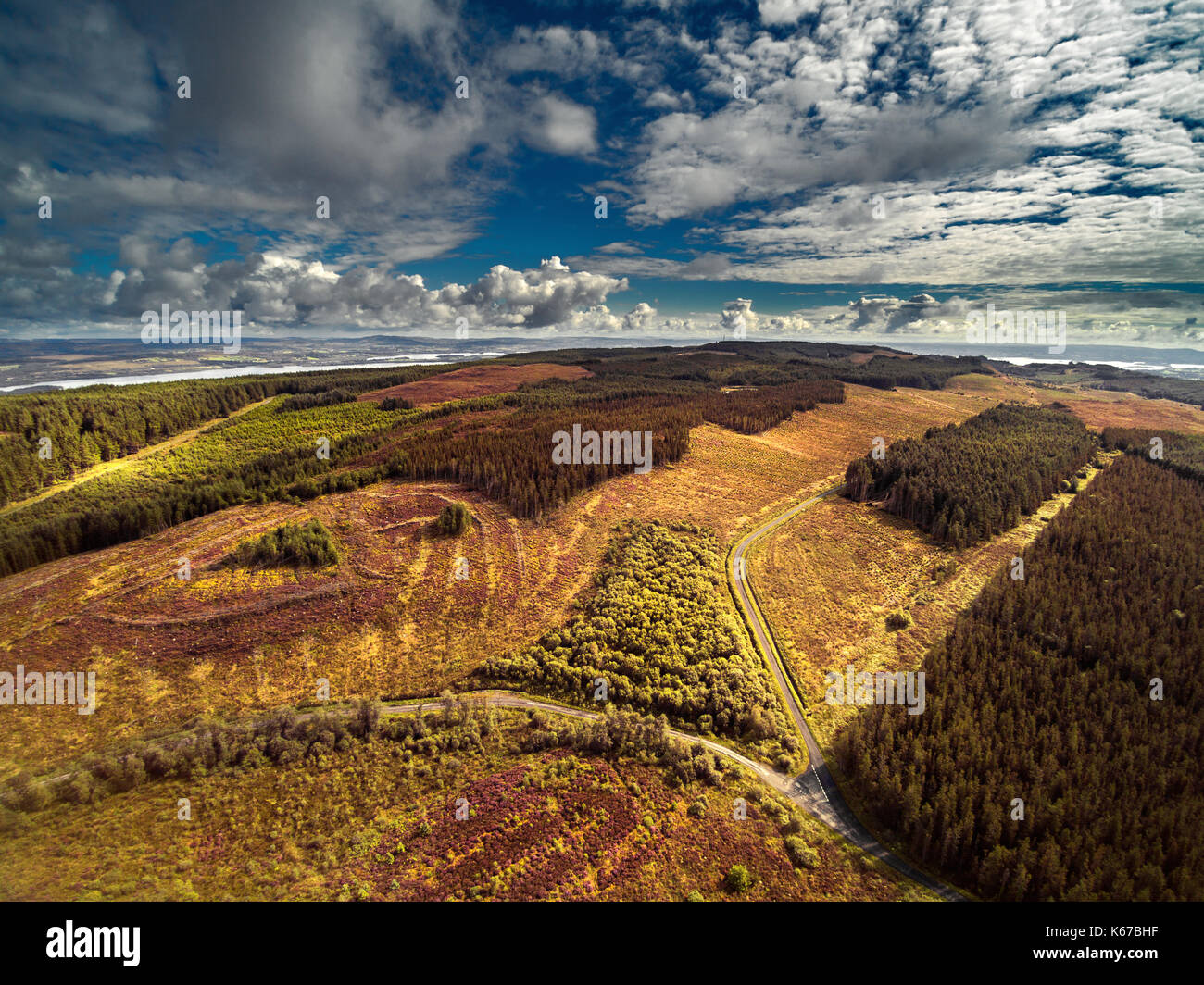 Luftbild, Nordirland, Großbritannien Stockfotohttps://www.alamy.de/image-license-details/?v=1https://www.alamy.de/luftbild-nordirland-grossbritannien-image158744027.html
RFK67BHF–Luftbild, Nordirland, Großbritannien
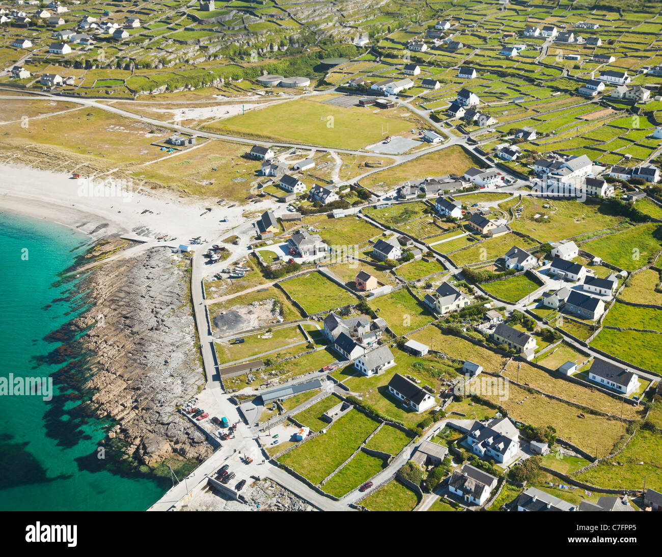 Aerial Landschaft Inisheer Insel, Teil der Aran-Inseln, Irland. Stockfotohttps://www.alamy.de/image-license-details/?v=1https://www.alamy.de/stockfoto-aerial-landschaft-inisheer-insel-teil-der-aran-inseln-irland-39070477.html
RFC7FPP5–Aerial Landschaft Inisheer Insel, Teil der Aran-Inseln, Irland.
 Beltany prähistorischer Steinkreis. Raphoe, Donegal, Irland. Veranstaltungsort für Jungsteinzeit und Bronzezeit 2100-700 v. Chr. Ausreißerstein rechts von der Mitte. Antenne Stockfotohttps://www.alamy.de/image-license-details/?v=1https://www.alamy.de/beltany-prahistorischer-steinkreis-raphoe-donegal-irland-veranstaltungsort-fur-jungsteinzeit-und-bronzezeit-2100-700-v-chr-ausreisserstein-rechts-von-der-mitte-antenne-image502934736.html
RM2M66JAT–Beltany prähistorischer Steinkreis. Raphoe, Donegal, Irland. Veranstaltungsort für Jungsteinzeit und Bronzezeit 2100-700 v. Chr. Ausreißerstein rechts von der Mitte. Antenne
 Aerial Shot von Hook Head während der Sommerpause nehmen. Die Hook Lighthouse ist ein Gebäude liegt an der Spitze der Halbinsel Hook Stockfotohttps://www.alamy.de/image-license-details/?v=1https://www.alamy.de/stockfoto-aerial-shot-von-hook-head-wahrend-der-sommerpause-nehmen-die-hook-lighthouse-ist-ein-gebaude-liegt-an-der-spitze-der-halbinsel-hook-105161260.html
RFG32E78–Aerial Shot von Hook Head während der Sommerpause nehmen. Die Hook Lighthouse ist ein Gebäude liegt an der Spitze der Halbinsel Hook
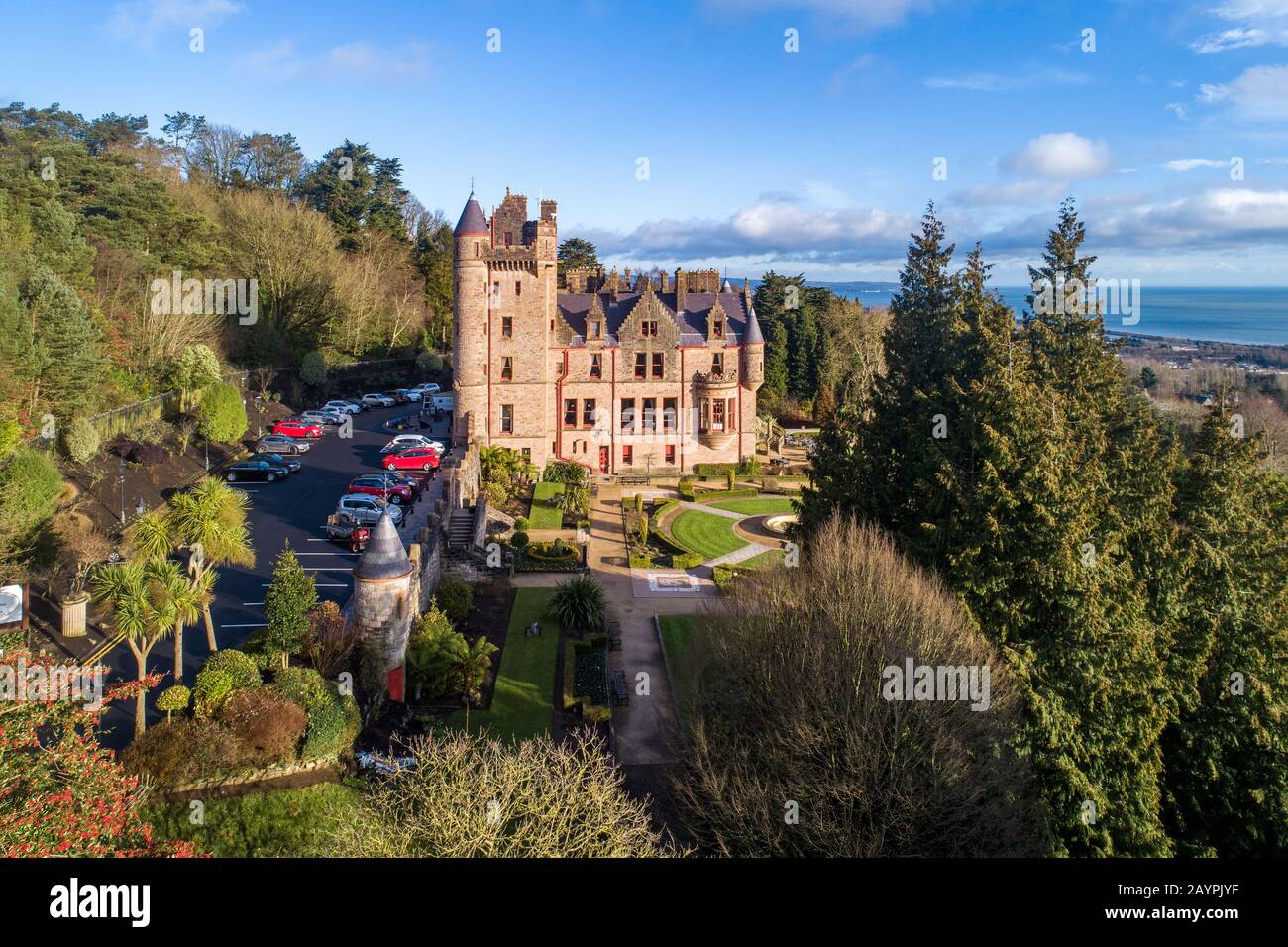 Schloss Belfast. Die Touristenattraktion wurde im 19. Jahrhundert an den hängen des Cave Hill Country Park in Belfast, Nordirland, erbaut. Luftansicht. Belfast Lough in Stockfotohttps://www.alamy.de/image-license-details/?v=1https://www.alamy.de/schloss-belfast-die-touristenattraktion-wurde-im-19-jahrhundert-an-den-hangen-des-cave-hill-country-park-in-belfast-nordirland-erbaut-luftansicht-belfast-lough-in-image344090531.html
RF2AYPJYF–Schloss Belfast. Die Touristenattraktion wurde im 19. Jahrhundert an den hängen des Cave Hill Country Park in Belfast, Nordirland, erbaut. Luftansicht. Belfast Lough in
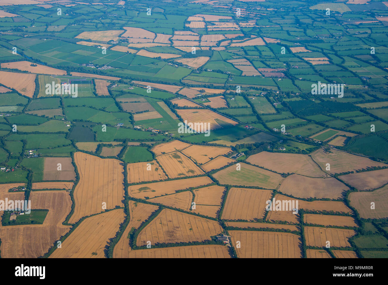 Antenne z.b Feldern rund um Dublin, Irland Stockfotohttps://www.alamy.de/image-license-details/?v=1https://www.alamy.de/antenne-zb-feldern-rund-um-dublin-irland-image178092679.html
RFM9MR0R–Antenne z.b Feldern rund um Dublin, Irland
 Drohnenansicht hoher Schiffe, die durch den Hafen von Dublin, Irland, segeln. Stockfotohttps://www.alamy.de/image-license-details/?v=1https://www.alamy.de/drohnenansicht-hoher-schiffe-die-durch-den-hafen-von-dublin-irland-segeln-image339784901.html
RM2AMPF31–Drohnenansicht hoher Schiffe, die durch den Hafen von Dublin, Irland, segeln.
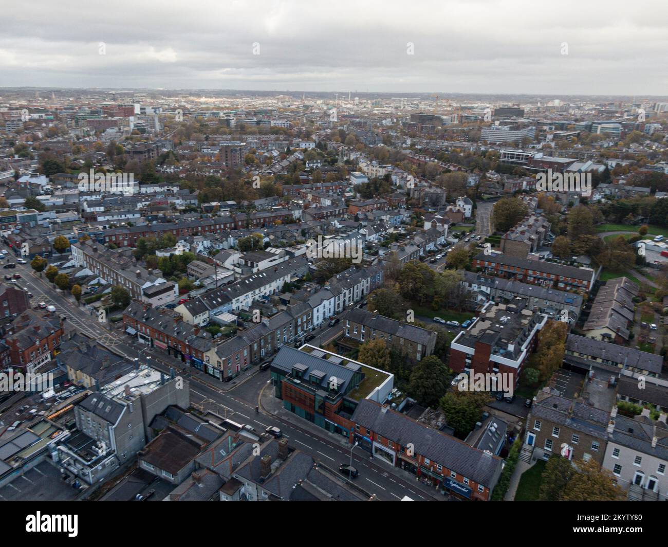 Straße und Haus in den Vororten von Dublin, Irland, Luftaufnahme Stockfotohttps://www.alamy.de/image-license-details/?v=1https://www.alamy.de/strasse-und-haus-in-den-vororten-von-dublin-irland-luftaufnahme-image499034256.html
RF2KYTY80–Straße und Haus in den Vororten von Dublin, Irland, Luftaufnahme
 Little Skegg Irland Stockfotohttps://www.alamy.de/image-license-details/?v=1https://www.alamy.de/little-skegg-irland-image479655973.html
RF2JTA62D–Little Skegg Irland
 Bray Head in der Grafschaft Wicklow Ireland Aerial Stockfotohttps://www.alamy.de/image-license-details/?v=1https://www.alamy.de/bray-head-in-der-grafschaft-wicklow-ireland-aerial-image347037289.html
RF2B4GWGW–Bray Head in der Grafschaft Wicklow Ireland Aerial
 Blick entlang der Ow Flusstal von den Hängen des Lugnaquilla, Wicklow Mountains, County Wicklow, Ireland. Stockfotohttps://www.alamy.de/image-license-details/?v=1https://www.alamy.de/blick-entlang-der-ow-flusstal-von-den-hangen-des-lugnaquilla-wicklow-mountains-county-wicklow-ireland-image66273907.html
RMDRR117–Blick entlang der Ow Flusstal von den Hängen des Lugnaquilla, Wicklow Mountains, County Wicklow, Ireland.
 Fort Dunree an dunree Kopf in Irland - Luftaufnahmen Stockfotohttps://www.alamy.de/image-license-details/?v=1https://www.alamy.de/fort-dunree-an-dunree-kopf-in-irland-luftaufnahmen-image418777805.html
RF2F98YA5–Fort Dunree an dunree Kopf in Irland - Luftaufnahmen
 Coumeenoole Bay Slea Headv mit Blick Richtung Dunmore Head, Dingle Halbinsel im County Kerry, Republik Irland. November 2013. Stockfotohttps://www.alamy.de/image-license-details/?v=1https://www.alamy.de/coumeenoole-bay-slea-headv-mit-blick-richtung-dunmore-head-dingle-halbinsel-im-county-kerry-republik-irland-november-2013-image156447041.html
RMK2ENP9–Coumeenoole Bay Slea Headv mit Blick Richtung Dunmore Head, Dingle Halbinsel im County Kerry, Republik Irland. November 2013.
 Portballintrae , Nordirland vom Himmel. Stockfotohttps://www.alamy.de/image-license-details/?v=1https://www.alamy.de/portballintrae-nordirland-vom-himmel-image485158932.html
RF2K58W4M–Portballintrae , Nordirland vom Himmel.
 Bray, Irland Eisenbahnbrücke wird Landschaft Blick. Stockfotohttps://www.alamy.de/image-license-details/?v=1https://www.alamy.de/bray-irland-eisenbahnbrucke-wird-landschaft-blick-image474281324.html
RM2JFHAJM–Bray, Irland Eisenbahnbrücke wird Landschaft Blick.
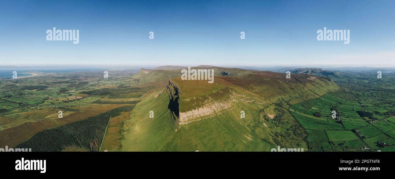 County Sligo / Irland : Benbulbin oder Benbulben aus der Vogelperspektive eine große Felsformation mit flacher Spitze, Teil der Dartry Mountains Stockfotohttps://www.alamy.de/image-license-details/?v=1https://www.alamy.de/county-sligo-irland-benbulbin-oder-benbulben-aus-der-vogelperspektive-eine-grosse-felsformation-mit-flacher-spitze-teil-der-dartry-mountains-image543899644.html
RM2PGTNF8–County Sligo / Irland : Benbulbin oder Benbulben aus der Vogelperspektive eine große Felsformation mit flacher Spitze, Teil der Dartry Mountains
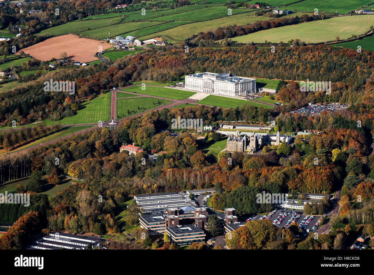 Luftaufnahmen von Stormont Estate Belfast Nordirland Stockfotohttps://www.alamy.de/image-license-details/?v=1https://www.alamy.de/stockfoto-luftaufnahmen-von-stormont-estate-belfast-nordirland-125668516.html
RFH8CKD8–Luftaufnahmen von Stormont Estate Belfast Nordirland
 Aerial Dunguaire Castle Abendsonne, in der Nähe von Kinvarra im County Galway, Irland - wilden Atlantik Weg Route. Berühmten öffentlichen Sehenswürdigkeit in Irland Stockfotohttps://www.alamy.de/image-license-details/?v=1https://www.alamy.de/stockfoto-aerial-dunguaire-castle-abendsonne-in-der-nahe-von-kinvarra-im-county-galway-irland-wilden-atlantik-weg-route-beruhmten-offentlichen-sehenswurdigkeit-in-irland-132384138.html
RMHKAH8X–Aerial Dunguaire Castle Abendsonne, in der Nähe von Kinvarra im County Galway, Irland - wilden Atlantik Weg Route. Berühmten öffentlichen Sehenswürdigkeit in Irland
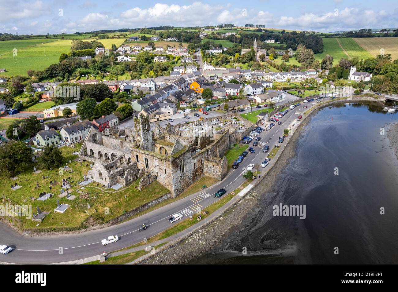 Luftbild des Küstendorfes Timoleague, West Cork, Irland an einem schönen Tag. Stockfotohttps://www.alamy.de/image-license-details/?v=1https://www.alamy.de/luftbild-des-kustendorfes-timoleague-west-cork-irland-an-einem-schonen-tag-image573810217.html
RM2T9F8P1–Luftbild des Küstendorfes Timoleague, West Cork, Irland an einem schönen Tag.
 Luftaufnahme der Stadt Cushendun in Nord Irland. Cushendun ist ein kleines Dorf an der Küste der Grafschaft Antrim Nordirland. Stockfotohttps://www.alamy.de/image-license-details/?v=1https://www.alamy.de/luftaufnahme-der-stadt-cushendun-in-nord-irland-cushendun-ist-ein-kleines-dorf-an-der-kuste-der-grafschaft-antrim-nordirland-image240932556.html
RFRYYBX4–Luftaufnahme der Stadt Cushendun in Nord Irland. Cushendun ist ein kleines Dorf an der Küste der Grafschaft Antrim Nordirland.
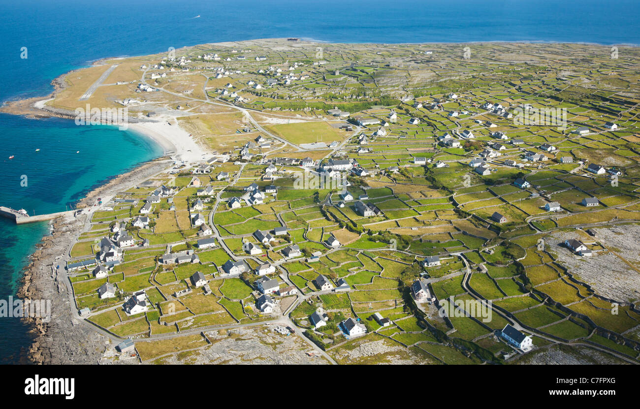 Aerial Landschaft Inisheer Insel, Teil der Aran-Inseln, Irland. Stockfotohttps://www.alamy.de/image-license-details/?v=1https://www.alamy.de/stockfoto-aerial-landschaft-inisheer-insel-teil-der-aran-inseln-irland-39070600.html
RFC7FPXG–Aerial Landschaft Inisheer Insel, Teil der Aran-Inseln, Irland.
 St. Johns Point Leuchtturm in der Nähe von Killybegs in Donegal Bay, County Donegal, Irland. Luftbild Stockfotohttps://www.alamy.de/image-license-details/?v=1https://www.alamy.de/st-johns-point-leuchtturm-in-der-nahe-von-killybegs-in-donegal-bay-county-donegal-irland-luftbild-image613046805.html
RM2XHAKCN–St. Johns Point Leuchtturm in der Nähe von Killybegs in Donegal Bay, County Donegal, Irland. Luftbild
 Blick vom Sky Road in der Nähe von Clifden in der Grafschaft Galway Küste mit Blick auf Sonnenuntergang Stockfotohttps://www.alamy.de/image-license-details/?v=1https://www.alamy.de/stockfoto-blick-vom-sky-road-in-der-nahe-von-clifden-in-der-grafschaft-galway-kuste-mit-blick-auf-sonnenuntergang-23470038.html
RMBA547J–Blick vom Sky Road in der Nähe von Clifden in der Grafschaft Galway Küste mit Blick auf Sonnenuntergang
 Cave Hill Country Park und Belfast Castle, erbaut im 19. Jahrhundert. Touristenattraktion in Belfast, Nordirland. Luftansicht Stockfotohttps://www.alamy.de/image-license-details/?v=1https://www.alamy.de/cave-hill-country-park-und-belfast-castle-erbaut-im-19-jahrhundert-touristenattraktion-in-belfast-nordirland-luftansicht-image344090522.html
RF2AYPJY6–Cave Hill Country Park und Belfast Castle, erbaut im 19. Jahrhundert. Touristenattraktion in Belfast, Nordirland. Luftansicht
 Welt berühmten Klippen von Moher, einer der beliebtesten touristischen Reiseziele in Irland. Luftbild des weithin bekannten touristischen Attraktion auf wilden Atlantik Stockfotohttps://www.alamy.de/image-license-details/?v=1https://www.alamy.de/welt-beruhmten-klippen-von-moher-einer-der-beliebtesten-touristischen-reiseziele-in-irland-luftbild-des-weithin-bekannten-touristischen-attraktion-auf-wilden-atlantik-image212129695.html
RFP939GF–Welt berühmten Klippen von Moher, einer der beliebtesten touristischen Reiseziele in Irland. Luftbild des weithin bekannten touristischen Attraktion auf wilden Atlantik
 Drohnenansicht hoher Schiffe, die durch den Hafen von Dublin, Irland, segeln. Stockfotohttps://www.alamy.de/image-license-details/?v=1https://www.alamy.de/drohnenansicht-hoher-schiffe-die-durch-den-hafen-von-dublin-irland-segeln-image339784919.html
RM2AMPF3K–Drohnenansicht hoher Schiffe, die durch den Hafen von Dublin, Irland, segeln.
 Straße und Haus in den Vororten von Dublin, Irland, Luftaufnahme Stockfotohttps://www.alamy.de/image-license-details/?v=1https://www.alamy.de/strasse-und-haus-in-den-vororten-von-dublin-irland-luftaufnahme-image499034262.html
RF2KYTY86–Straße und Haus in den Vororten von Dublin, Irland, Luftaufnahme
 Little Skrig, County Kerry Irland Stockfotohttps://www.alamy.de/image-license-details/?v=1https://www.alamy.de/little-skrig-county-kerry-irland-image479655970.html
RF2JTA62A–Little Skrig, County Kerry Irland
 Luftaufnahme von Newtownards Stockfotohttps://www.alamy.de/image-license-details/?v=1https://www.alamy.de/luftaufnahme-von-newtownards-image383764483.html
RF2D89YEB–Luftaufnahme von Newtownards
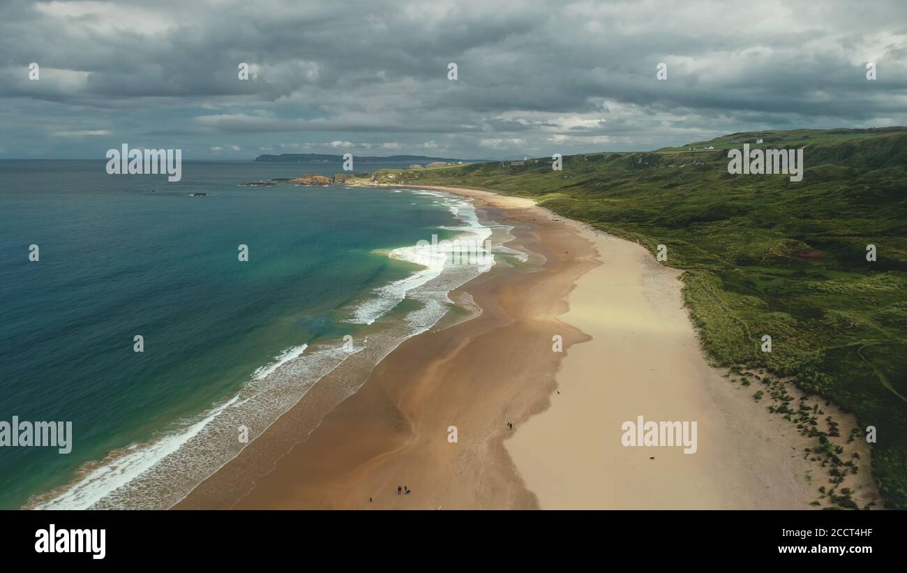 Nordirland Luftaufnahme: White Beach Golf Wasser stürzt ab. Die Leute am Ufer laufen und spielen mit Hunden. Meer und Wiesen im Horizont. Malerische Schönheit Stockfotohttps://www.alamy.de/image-license-details/?v=1https://www.alamy.de/nordirland-luftaufnahme-white-beach-golf-wasser-sturzt-ab-die-leute-am-ufer-laufen-und-spielen-mit-hunden-meer-und-wiesen-im-horizont-malerische-schonheit-image369324075.html
RF2CCT4HF–Nordirland Luftaufnahme: White Beach Golf Wasser stürzt ab. Die Leute am Ufer laufen und spielen mit Hunden. Meer und Wiesen im Horizont. Malerische Schönheit
 Alte monasty in Glendalough Wicklow Mountains von Irland - Luftaufnahmen Stockfotohttps://www.alamy.de/image-license-details/?v=1https://www.alamy.de/alte-monasty-in-glendalough-wicklow-mountains-von-irland-luftaufnahmen-image418780122.html
RF2F9928X–Alte monasty in Glendalough Wicklow Mountains von Irland - Luftaufnahmen
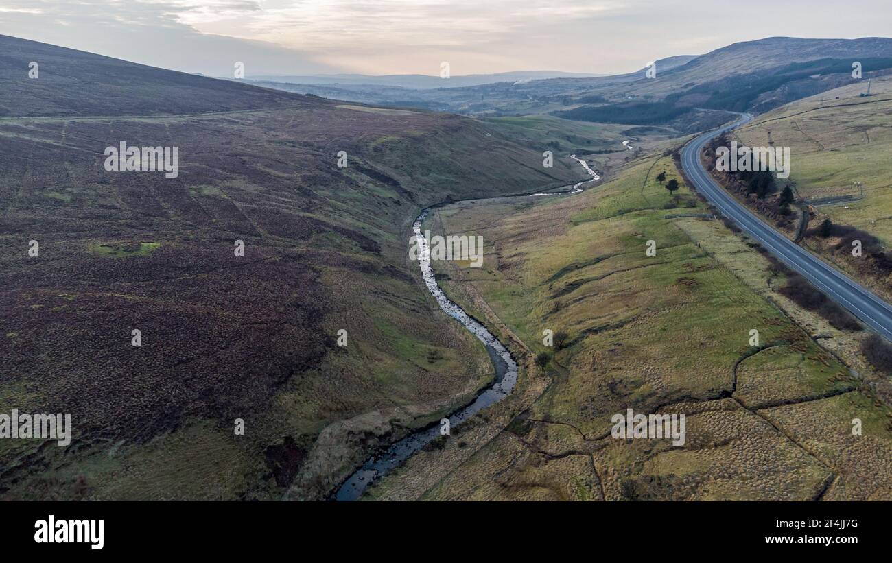 Luftaufnahme der Glenshane Straße in den Sperrin Bergen Stockfotohttps://www.alamy.de/image-license-details/?v=1https://www.alamy.de/luftaufnahme-der-glenshane-strasse-in-den-sperrin-bergen-image415916916.html
RF2F4JJ7G–Luftaufnahme der Glenshane Straße in den Sperrin Bergen
 Portballintrae , Nordirland vom Himmel. Stockfotohttps://www.alamy.de/image-license-details/?v=1https://www.alamy.de/portballintrae-nordirland-vom-himmel-image485158927.html
RF2K58W4F–Portballintrae , Nordirland vom Himmel.
 Landschaft Irland Luftaufnahme des Muckross House Landguts und des Dundag Point vom Torc Mountain im Killarney National Park, Grafschaft Kerry, Irland Stockfotohttps://www.alamy.de/image-license-details/?v=1https://www.alamy.de/landschaft-irland-luftaufnahme-des-muckross-house-landguts-und-des-dundag-point-vom-torc-mountain-im-killarney-national-park-grafschaft-kerry-irland-image255437537.html
RMTRG555–Landschaft Irland Luftaufnahme des Muckross House Landguts und des Dundag Point vom Torc Mountain im Killarney National Park, Grafschaft Kerry, Irland
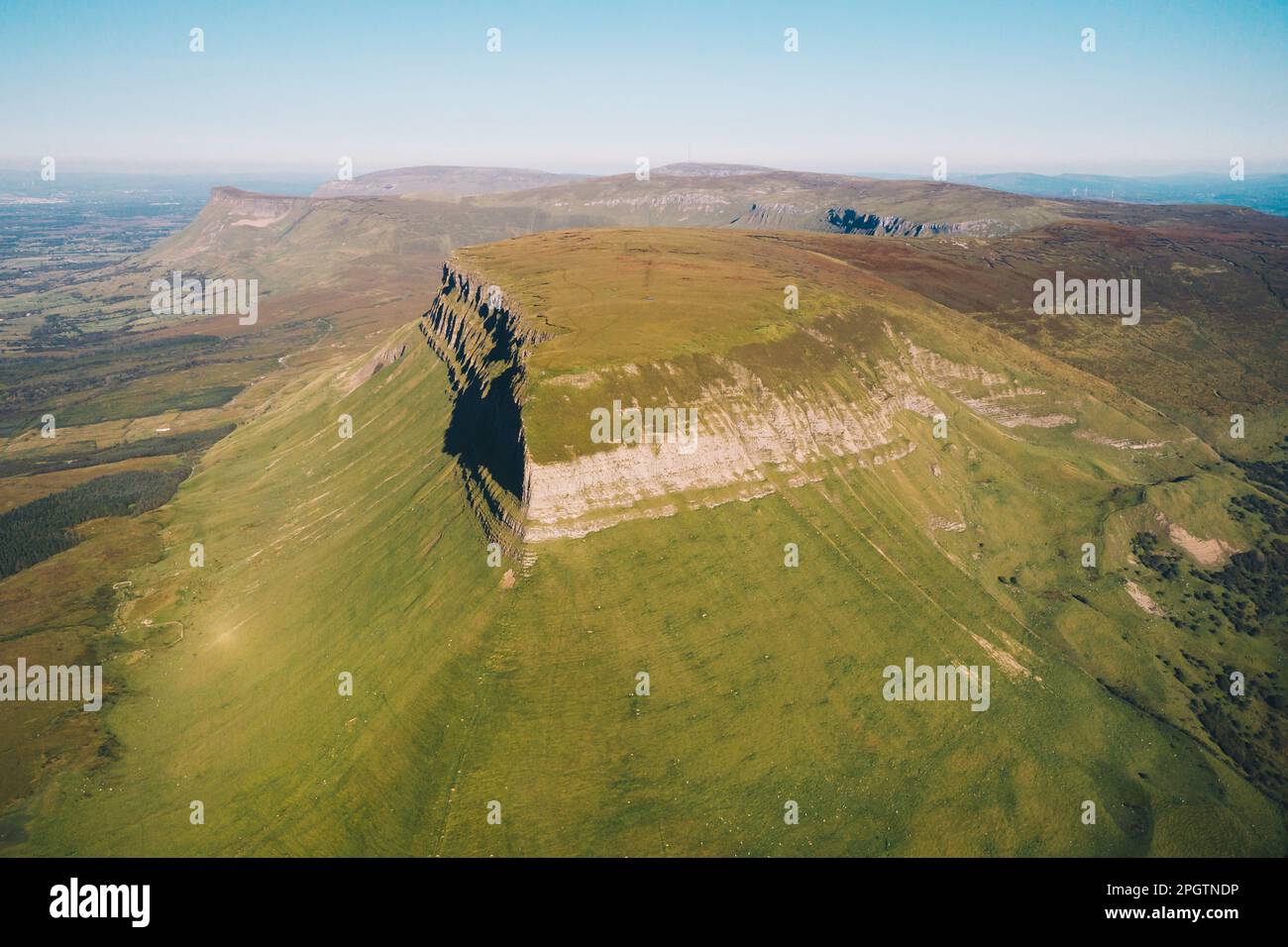 County Sligo / Irland : Benbulbin oder Benbulben aus der Vogelperspektive eine große Felsformation mit flacher Spitze, Teil der Dartry Mountains Stockfotohttps://www.alamy.de/image-license-details/?v=1https://www.alamy.de/county-sligo-irland-benbulbin-oder-benbulben-aus-der-vogelperspektive-eine-grosse-felsformation-mit-flacher-spitze-teil-der-dartry-mountains-image543899602.html
RM2PGTNDP–County Sligo / Irland : Benbulbin oder Benbulben aus der Vogelperspektive eine große Felsformation mit flacher Spitze, Teil der Dartry Mountains
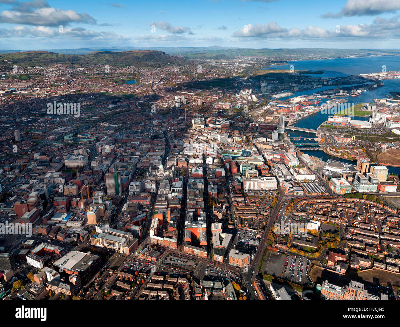 Luftaufnahme der Innenstadt von Belfast, Nordirland Stockfotohttps://www.alamy.de/image-license-details/?v=1https://www.alamy.de/stockfoto-luftaufnahme-der-innenstadt-von-belfast-nordirland-125667953.html
RFH8CJN5–Luftaufnahme der Innenstadt von Belfast, Nordirland
 Aerial Dunguaire Castle Abendsonne, in der Nähe von Kinvarra im County Galway, Irland - wilden Atlantik Weg Route. Berühmten öffentlichen Sehenswürdigkeit in Irland Stockfotohttps://www.alamy.de/image-license-details/?v=1https://www.alamy.de/stockfoto-aerial-dunguaire-castle-abendsonne-in-der-nahe-von-kinvarra-im-county-galway-irland-wilden-atlantik-weg-route-beruhmten-offentlichen-sehenswurdigkeit-in-irland-132384139.html
RMHKAH8Y–Aerial Dunguaire Castle Abendsonne, in der Nähe von Kinvarra im County Galway, Irland - wilden Atlantik Weg Route. Berühmten öffentlichen Sehenswürdigkeit in Irland
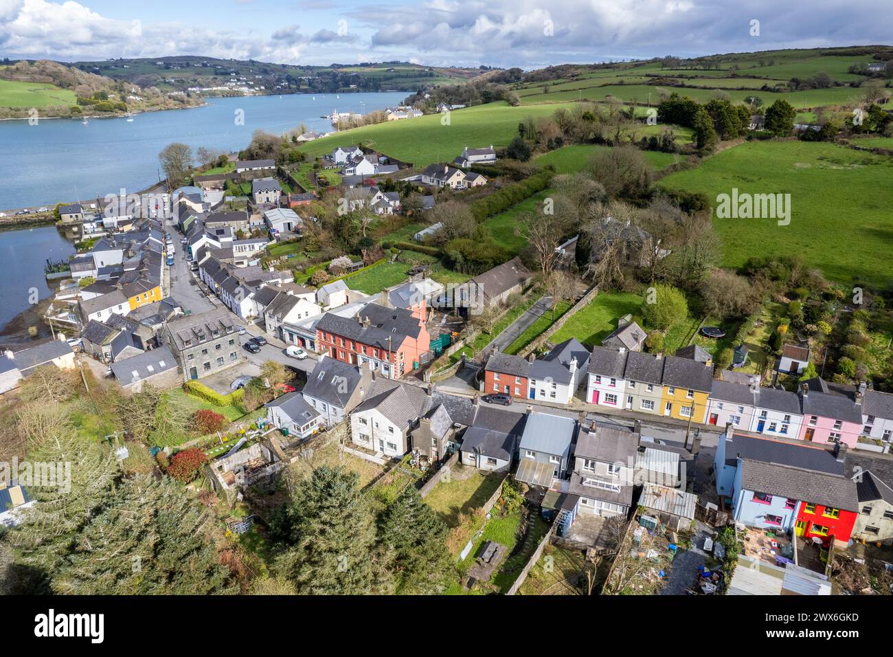 Luftbild des Fischerdorfes Union Hall, West Cork, Irland. Stockfotohttps://www.alamy.de/image-license-details/?v=1https://www.alamy.de/luftbild-des-fischerdorfes-union-hall-west-cork-irland-image601278369.html
RM2WX6GKD–Luftbild des Fischerdorfes Union Hall, West Cork, Irland.
 Eine Landschaft, die Aussicht auf den Berg in Cushendun die grünen Felder von den Bergen und den grünen Pflanzen in Irland Stockfotohttps://www.alamy.de/image-license-details/?v=1https://www.alamy.de/eine-landschaft-die-aussicht-auf-den-berg-in-cushendun-die-grunen-felder-von-den-bergen-und-den-grunen-pflanzen-in-irland-image240932742.html
RFRYYC4P–Eine Landschaft, die Aussicht auf den Berg in Cushendun die grünen Felder von den Bergen und den grünen Pflanzen in Irland