Schnellfilter:
Insel der geo Stockfotos & Bilder
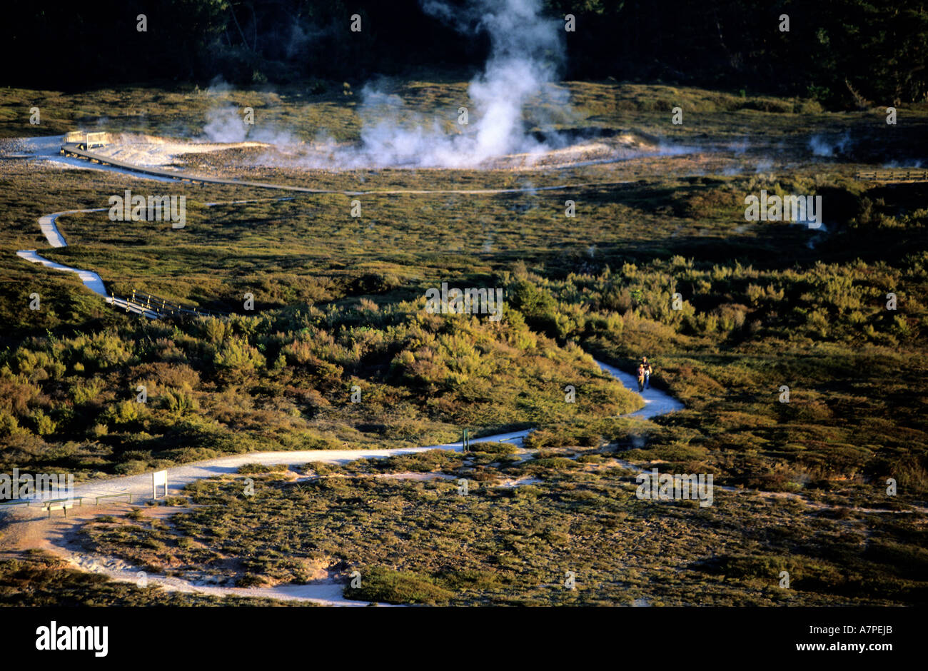 Neuseeland, Nordinsel, Krater des Mondes, geothermische und vulkanische Gegend in der Nähe von Rotorura Stockfotohttps://www.alamy.de/image-license-details/?v=1https://www.alamy.de/neuseeland-nordinsel-krater-des-mondes-geothermische-und-vulkanische-gegend-in-der-nahe-von-rotorura-image6794410.html
RMA7PEJB–Neuseeland, Nordinsel, Krater des Mondes, geothermische und vulkanische Gegend in der Nähe von Rotorura
 Rotorua Mud Federn. North Island. Neuseeland Stockfotohttps://www.alamy.de/image-license-details/?v=1https://www.alamy.de/stockfoto-rotorua-mud-federn-north-island-neuseeland-16577866.html
RFAWGNFR–Rotorua Mud Federn. North Island. Neuseeland
 Palmetto Ave. Ft. Geo. Insel, Fla; Amerikanische; ca. 1870 - 1880; Eiklar silber Drucken Stockfotohttps://www.alamy.de/image-license-details/?v=1https://www.alamy.de/palmetto-ave-ft-geo-insel-fla-amerikanische-ca-1870-1880-eiklar-silber-drucken-image220658360.html
RMPPYRYM–Palmetto Ave. Ft. Geo. Insel, Fla; Amerikanische; ca. 1870 - 1880; Eiklar silber Drucken
 Millionaires Row auf Jekyll Island von Brunswick Georgia GA Stockfotohttps://www.alamy.de/image-license-details/?v=1https://www.alamy.de/millionaires-row-auf-jekyll-island-von-brunswick-georgia-ga-image7301647.html
RMAB4TH0–Millionaires Row auf Jekyll Island von Brunswick Georgia GA
 Foto von Geo. G. Bain. Einwanderer auf Ellis Island rund 1900 USA Washington. Library of Congress Stockfotohttps://www.alamy.de/image-license-details/?v=1https://www.alamy.de/stockfoto-foto-von-geo-g-bain-einwanderer-auf-ellis-island-rund-1900-usa-washington-library-of-congress-113148919.html
RMGG2AGR–Foto von Geo. G. Bain. Einwanderer auf Ellis Island rund 1900 USA Washington. Library of Congress
 Neuseeland, Nordinsel, Orekei Korako - Geo-thermische Emissionen. Stockfotohttps://www.alamy.de/image-license-details/?v=1https://www.alamy.de/stockfoto-neuseeland-nordinsel-orekei-korako-geo-thermische-emissionen-20073102.html
RFB4JBCE–Neuseeland, Nordinsel, Orekei Korako - Geo-thermische Emissionen.
 Whalers Bay in der Nähe von Deception Island, Antarktis eine alte Walfangstation Stockfotohttps://www.alamy.de/image-license-details/?v=1https://www.alamy.de/whalers-bay-in-der-nahe-von-deception-island-antarktis-eine-alte-walfangstation-image551800856.html
RF2R1MKHC–Whalers Bay in der Nähe von Deception Island, Antarktis eine alte Walfangstation
 Cave Cove am Kap Rosa in King Haakon Bay wo Shackleton bildete Landfall und erste Nacht vor Kreuzung Island, South Geo Stockfotohttps://www.alamy.de/image-license-details/?v=1https://www.alamy.de/stockfoto-cave-cove-am-kap-rosa-in-king-haakon-bay-wo-shackleton-bildete-landfall-und-erste-nacht-vor-kreuzung-island-south-geo-104482128.html
RMG1YG0G–Cave Cove am Kap Rosa in King Haakon Bay wo Shackleton bildete Landfall und erste Nacht vor Kreuzung Island, South Geo
 Helliwell Park, Hornby Island, Gulf Islands in Georgia Strait, British Columbia, Kanada. Stockfotohttps://www.alamy.de/image-license-details/?v=1https://www.alamy.de/stockfoto-helliwell-park-hornby-island-gulf-islands-in-georgia-strait-british-columbia-kanada-16093891.html
RMARN94M–Helliwell Park, Hornby Island, Gulf Islands in Georgia Strait, British Columbia, Kanada.
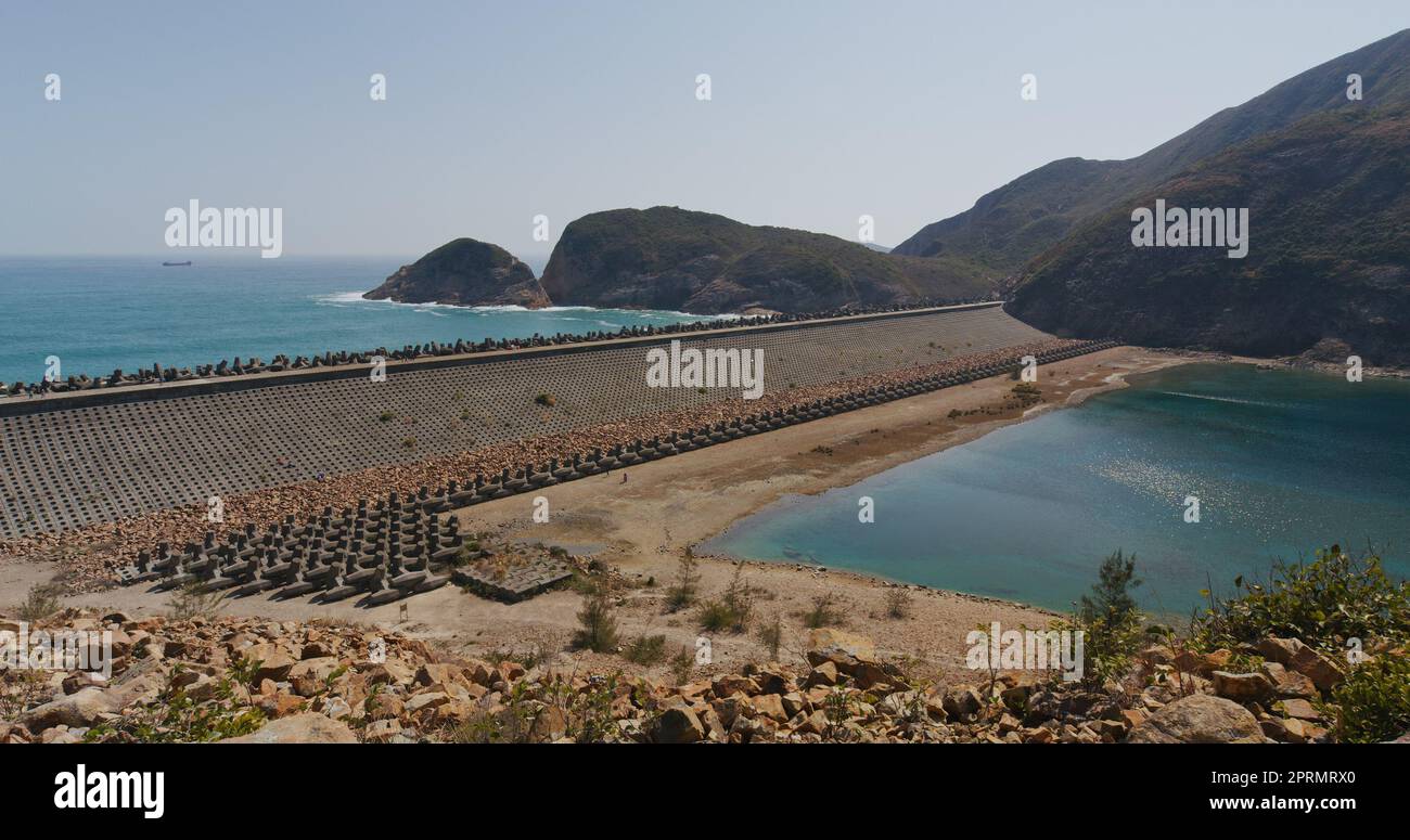 High Island Reservoir in Hong Kong Geo Park Stockfotohttps://www.alamy.de/image-license-details/?v=1https://www.alamy.de/high-island-reservoir-in-hong-kong-geo-park-image548116296.html
RF2PRMRX0–High Island Reservoir in Hong Kong Geo Park
 High Island Reservoir in Hong Kong Geo Park Stockfotohttps://www.alamy.de/image-license-details/?v=1https://www.alamy.de/high-island-reservoir-in-hong-kong-geo-park-image547412157.html
RM2PPGNP5–High Island Reservoir in Hong Kong Geo Park
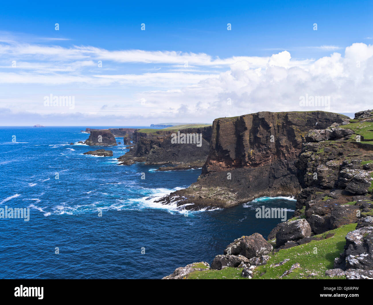 dh Esha Ness calders Geo ESHANESS SEACLIFFS SHETLAND ISLANDS Sea Cliffs Cliff Northmavine Basalt shetlands dramatische Inselküste Schottland Stockfotohttps://www.alamy.de/image-license-details/?v=1https://www.alamy.de/stockfoto-dh-esha-ness-calders-geo-eshaness-seacliffs-shetland-islands-sea-cliffs-cliff-northmavine-basalt-shetlands-dramatische-inselkuste-schottland-114476401.html
RMGJ6RPW–dh Esha Ness calders Geo ESHANESS SEACLIFFS SHETLAND ISLANDS Sea Cliffs Cliff Northmavine Basalt shetlands dramatische Inselküste Schottland
 Providence, R.I., Hafenblick, vom Gelände von Geo Stockfotohttps://www.alamy.de/image-license-details/?v=1https://www.alamy.de/stockfoto-providence-ri-hafenblick-vom-gelande-von-geo-83145733.html
RMER7H6D–Providence, R.I., Hafenblick, vom Gelände von Geo
 Hong Kong Geo Park, High Island Reservoir Stockfotohttps://www.alamy.de/image-license-details/?v=1https://www.alamy.de/stockfoto-hong-kong-geo-park-high-island-reservoir-81010548.html
RFEKP9NT–Hong Kong Geo Park, High Island Reservoir
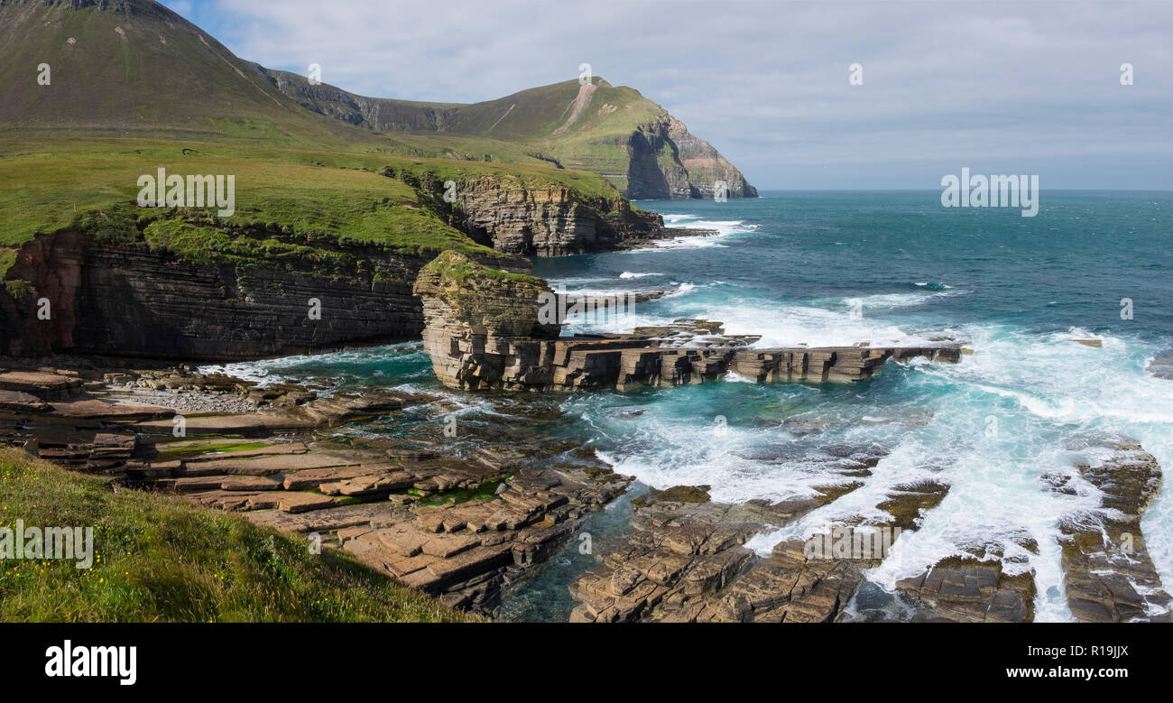 Rami Geo, nördlich von Hoy Stockfotohttps://www.alamy.de/image-license-details/?v=1https://www.alamy.de/rami-geo-nordlich-von-hoy-image224561650.html
RMR19JJX–Rami Geo, nördlich von Hoy
 Die Hügel von Hoy, Orkney, im Winter, über den Pentland Firth. Von Geo in der Nähe von Scarfskerry, Caithness, Schottland, UK Stockfotohttps://www.alamy.de/image-license-details/?v=1https://www.alamy.de/stockfoto-die-hugel-von-hoy-orkney-im-winter-uber-den-pentland-firth-von-geo-in-der-nahe-von-scarfskerry-caithness-schottland-uk-33734370.html
RMBXTMEX–Die Hügel von Hoy, Orkney, im Winter, über den Pentland Firth. Von Geo in der Nähe von Scarfskerry, Caithness, Schottland, UK
 Staten Island, NY, USA. 23. Januar 2016. Krankenschwestern erhalten eine Fahrt nach Hause von Wicked Jeeps nach ihrer Schicht am Staten Island University Hospital während Winter Sturm Jonas. Während der Schneesturm freiwillig fünf böse Jeep Fahrer ihre Zeit abholen Staten Inselbewohner und shuttle sie sicher an ihr Ziel. Späten Nachmittag Stadtbusse nicht mehr auf der Insel laufen, und ein Reiseverbot in New York City wurde später durch das NYPD durchsetzbar. Dieser Mangel an Verkehrsmitteln gestrandet viele Bewohner von Staten Island, die die Fähre nach Hause genommen hatte, oder brauchte, um nach Manhattan über die Staten Island Ferry St. Geo Stockfotohttps://www.alamy.de/image-license-details/?v=1https://www.alamy.de/stockfoto-staten-island-ny-usa-23-januar-2016-krankenschwestern-erhalten-eine-fahrt-nach-hause-von-wicked-jeeps-nach-ihrer-schicht-am-staten-island-university-hospital-wahrend-winter-sturm-jonas-wahrend-der-schneesturm-freiwillig-funf-bose-jeep-fahrer-ihre-zeit-abholen-staten-inselbewohner-und-shuttle-sie-sicher-an-ihr-ziel-spaten-nachmittag-stadtbusse-nicht-mehr-auf-der-insel-laufen-und-ein-reiseverbot-in-new-york-city-wurde-spater-durch-das-nypd-durchsetzbar-dieser-mangel-an-verkehrsmitteln-gestrandet-viele-bewohner-von-staten-island-die-die-fahre-nach-hause-genommen-hatte-oder-brauchte-um-nach-manhattan-uber-die-staten-island-ferry-st-geo-93915193.html
RMFCP5P1–Staten Island, NY, USA. 23. Januar 2016. Krankenschwestern erhalten eine Fahrt nach Hause von Wicked Jeeps nach ihrer Schicht am Staten Island University Hospital während Winter Sturm Jonas. Während der Schneesturm freiwillig fünf böse Jeep Fahrer ihre Zeit abholen Staten Inselbewohner und shuttle sie sicher an ihr Ziel. Späten Nachmittag Stadtbusse nicht mehr auf der Insel laufen, und ein Reiseverbot in New York City wurde später durch das NYPD durchsetzbar. Dieser Mangel an Verkehrsmitteln gestrandet viele Bewohner von Staten Island, die die Fähre nach Hause genommen hatte, oder brauchte, um nach Manhattan über die Staten Island Ferry St. Geo
 Blick vom High Island Reservoir West Dam im Sai Kung East Country Park in Hong Kong. Stockfotohttps://www.alamy.de/image-license-details/?v=1https://www.alamy.de/blick-vom-high-island-reservoir-west-dam-im-sai-kung-east-country-park-in-hong-kong-image555041253.html
RM2R708NW–Blick vom High Island Reservoir West Dam im Sai Kung East Country Park in Hong Kong.
 Kilim Geoforest Park - Insel Langkawi (Malaysia) Stockfotohttps://www.alamy.de/image-license-details/?v=1https://www.alamy.de/kilim-geoforest-park-insel-langkawi-malaysia-image210390315.html
RFP682YR–Kilim Geoforest Park - Insel Langkawi (Malaysia)
 ALTERNATIVE ENERGIE GROßE BOREFIELD GEO THERMAL POWER PLANT WAIRAKE NORDINSEL NEUSEELAND Stockfotohttps://www.alamy.de/image-license-details/?v=1https://www.alamy.de/stockfoto-alternative-energie-grosse-borefield-geo-thermal-power-plant-wairake-nordinsel-neuseeland-12302632.html
RMA9A9JH–ALTERNATIVE ENERGIE GROßE BOREFIELD GEO THERMAL POWER PLANT WAIRAKE NORDINSEL NEUSEELAND
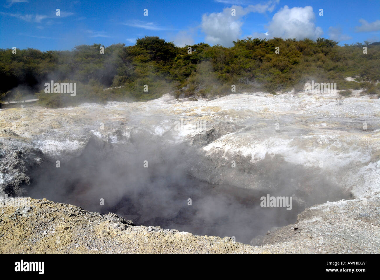 Rotorua Mud Federn. North Island. Neuseeland Stockfotohttps://www.alamy.de/image-license-details/?v=1https://www.alamy.de/stockfoto-rotorua-mud-federn-north-island-neuseeland-16580352.html
RMAWH0XW–Rotorua Mud Federn. North Island. Neuseeland
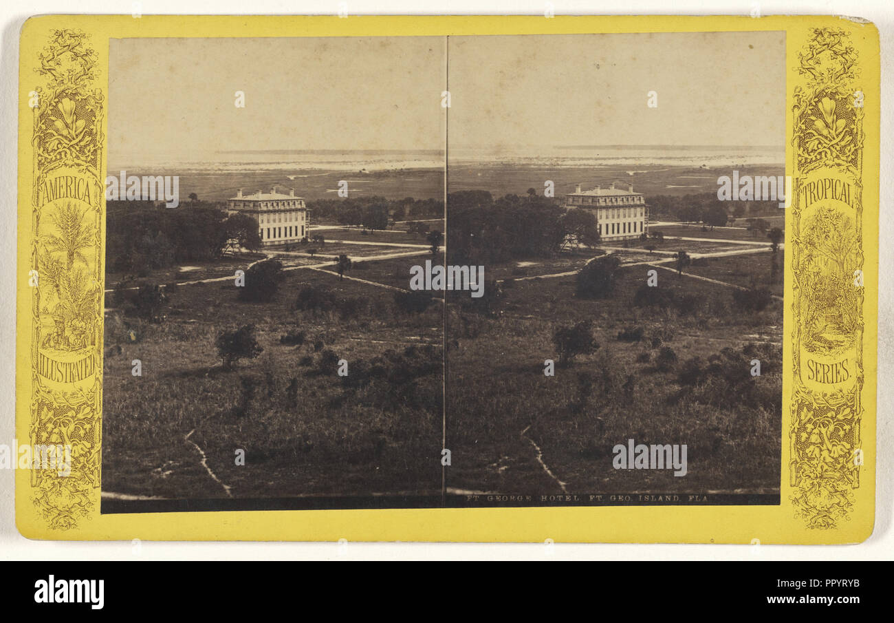 Ft. George Hotel. Ft. Geo. Insel, Fla; Amerikanische; ca. 1870 - 1880; Eiklar silber Drucken Stockfotohttps://www.alamy.de/image-license-details/?v=1https://www.alamy.de/ft-george-hotel-ft-geo-insel-fla-amerikanische-ca-1870-1880-eiklar-silber-drucken-image220658351.html
RMPPYRYB–Ft. George Hotel. Ft. Geo. Insel, Fla; Amerikanische; ca. 1870 - 1880; Eiklar silber Drucken
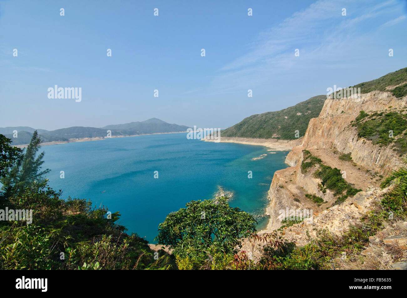 Blick von der Geo-Trail, High Island Reservoir, Sai Kung, Hong Kong Stockfotohttps://www.alamy.de/image-license-details/?v=1https://www.alamy.de/stockfoto-blick-von-der-geo-trail-high-island-reservoir-sai-kung-hong-kong-92927609.html
RFFB5635–Blick von der Geo-Trail, High Island Reservoir, Sai Kung, Hong Kong
 Blick vom High Island Reservoir East Dam im Sai Kung East Country Park in Hong Kong. Stockfotohttps://www.alamy.de/image-license-details/?v=1https://www.alamy.de/blick-vom-high-island-reservoir-east-dam-im-sai-kung-east-country-park-in-hong-kong-image522689068.html
RM2NAAF6M–Blick vom High Island Reservoir East Dam im Sai Kung East Country Park in Hong Kong.
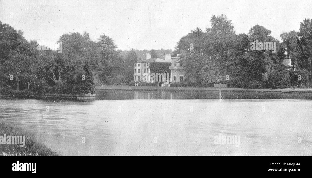 BUCKS. Temple House & Insel 1897 alte antike vintage Bild drucken Stockfotohttps://www.alamy.de/image-license-details/?v=1https://www.alamy.de/bucks-temple-house-insel-1897-alte-antike-vintage-bild-drucken-image184803028.html
RFMMJE44–BUCKS. Temple House & Insel 1897 alte antike vintage Bild drucken
 Whalers Bay in der Nähe von Deception Island, Antarktis eine alte Walfangstation Stockfotohttps://www.alamy.de/image-license-details/?v=1https://www.alamy.de/whalers-bay-in-der-nahe-von-deception-island-antarktis-eine-alte-walfangstation-image551801198.html
RF2R1MM1J–Whalers Bay in der Nähe von Deception Island, Antarktis eine alte Walfangstation
 Arborek Insel In Raja Ampat Papua Indonesien Stockfotohttps://www.alamy.de/image-license-details/?v=1https://www.alamy.de/arborek-insel-in-raja-ampat-papua-indonesien-image243467505.html
RFT42W81–Arborek Insel In Raja Ampat Papua Indonesien
 Helliwell Park, Hornby Island, Gulf Islands in Georgia Strait, British Columbia, Kanada. Stockfotohttps://www.alamy.de/image-license-details/?v=1https://www.alamy.de/stockfoto-helliwell-park-hornby-island-gulf-islands-in-georgia-strait-british-columbia-kanada-16093899.html
RMARN95G–Helliwell Park, Hornby Island, Gulf Islands in Georgia Strait, British Columbia, Kanada.
 High Island Reservoir in Hong Kong Geo Park Stockfotohttps://www.alamy.de/image-license-details/?v=1https://www.alamy.de/high-island-reservoir-in-hong-kong-geo-park-image548116287.html
RF2PRMRWK–High Island Reservoir in Hong Kong Geo Park
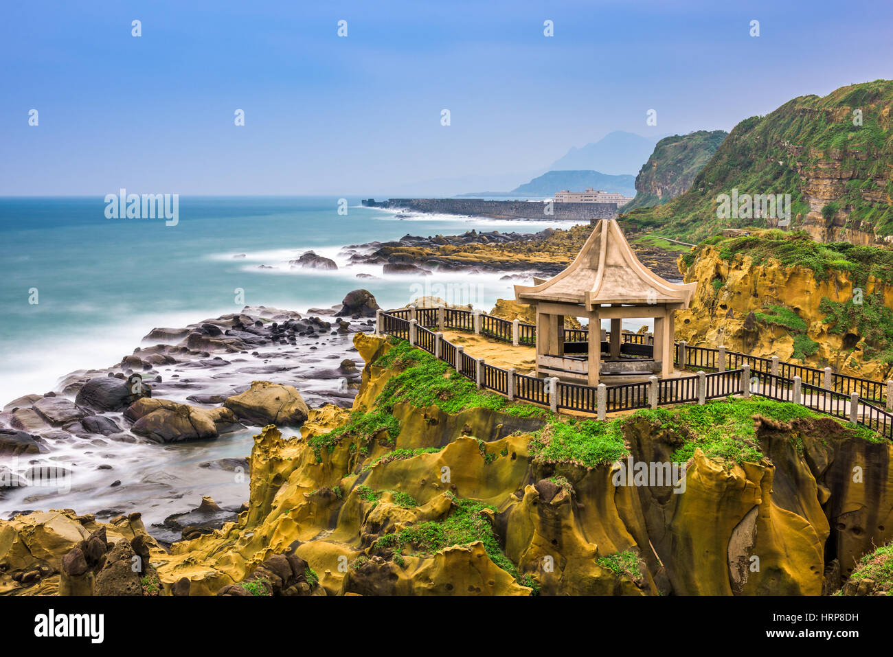 Keelung, Taiwan an der Heping Insel Küste. Stockfotohttps://www.alamy.de/image-license-details/?v=1https://www.alamy.de/stockfoto-keelung-taiwan-an-der-heping-insel-kuste-135099261.html
RFHRP8DH–Keelung, Taiwan an der Heping Insel Küste.
 Milburn Geo, Insel Bressay, Shetland Islands, Schottland, Vereinigtes Königreich Stockfotohttps://www.alamy.de/image-license-details/?v=1https://www.alamy.de/stockfoto-milburn-geo-insel-bressay-shetland-islands-schottland-vereinigtes-konigreich-37864131.html
RMC5GT2B–Milburn Geo, Insel Bressay, Shetland Islands, Schottland, Vereinigtes Königreich
 Maine Hummer backen, Tourismus Stockfotohttps://www.alamy.de/image-license-details/?v=1https://www.alamy.de/stockfoto-maine-hummer-backen-tourismus-31304089.html
RFBPX0K5–Maine Hummer backen, Tourismus
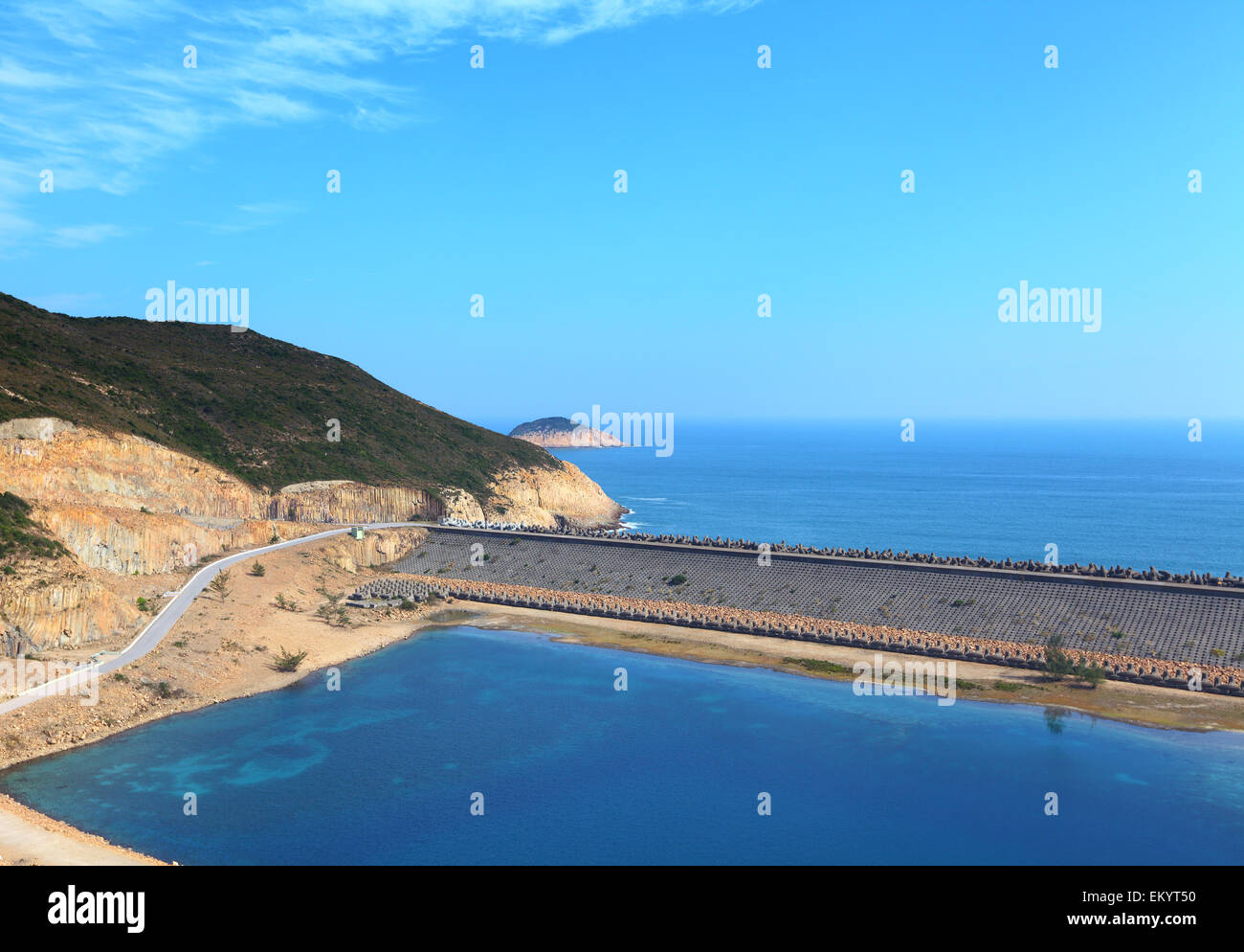 Hong Kong Geo Park, High Island Reservoir Stockfotohttps://www.alamy.de/image-license-details/?v=1https://www.alamy.de/stockfoto-hong-kong-geo-park-high-island-reservoir-81131596.html
RFEKYT50–Hong Kong Geo Park, High Island Reservoir
 Das Schiff Shakti, für ein GEO-Expedition gechartert ist aus in kleinen Bucht umgeben von Kalksteinfelsen und Inseln gebunden. Misool Insel Nähe. In der Nähe von kleineren Insel Fiabacet. West-Papua, Indonesien, April 2007 Stockfotohttps://www.alamy.de/image-license-details/?v=1https://www.alamy.de/stockfoto-das-schiff-shakti-fur-ein-geo-expedition-gechartert-ist-aus-in-kleinen-bucht-umgeben-von-kalksteinfelsen-und-inseln-gebunden-misool-insel-nahe-in-der-nahe-von-kleineren-insel-fiabacet-west-papua-indonesien-april-2007-71429548.html
RME45W38–Das Schiff Shakti, für ein GEO-Expedition gechartert ist aus in kleinen Bucht umgeben von Kalksteinfelsen und Inseln gebunden. Misool Insel Nähe. In der Nähe von kleineren Insel Fiabacet. West-Papua, Indonesien, April 2007
 Die Hügel von Hoy, Orkney, im Winter, über den Pentland Firth. Von Geo in der Nähe von Scarfskerry, Caithness, Schottland, UK Stockfotohttps://www.alamy.de/image-license-details/?v=1https://www.alamy.de/stockfoto-die-hugel-von-hoy-orkney-im-winter-uber-den-pentland-firth-von-geo-in-der-nahe-von-scarfskerry-caithness-schottland-uk-33734448.html
RMBXTMHM–Die Hügel von Hoy, Orkney, im Winter, über den Pentland Firth. Von Geo in der Nähe von Scarfskerry, Caithness, Schottland, UK
 Die Niederlande, die ehemalige Insel Schokland. UNESCO-Weltkulturerbe. Stockfotohttps://www.alamy.de/image-license-details/?v=1https://www.alamy.de/die-niederlande-die-ehemalige-insel-schokland-unesco-weltkulturerbe-image62579262.html
RMDHPMDJ–Die Niederlande, die ehemalige Insel Schokland. UNESCO-Weltkulturerbe.
 Blick vom High Island Reservoir West Dam im Sai Kung East Country Park in Hong Kong. Stockfotohttps://www.alamy.de/image-license-details/?v=1https://www.alamy.de/blick-vom-high-island-reservoir-west-dam-im-sai-kung-east-country-park-in-hong-kong-image555041221.html
RM2R708MN–Blick vom High Island Reservoir West Dam im Sai Kung East Country Park in Hong Kong.
 Star Valley, Qeshm Island Stockfotohttps://www.alamy.de/image-license-details/?v=1https://www.alamy.de/star-valley-qeshm-island-image450703165.html
RF2H578DH–Star Valley, Qeshm Island
 ALTERNATIVE ENERGIE GROßE BOREFIELD GEO THERMAL POWER PLANT WAIRAKE NORDINSEL NEUSEELAND Stockfotohttps://www.alamy.de/image-license-details/?v=1https://www.alamy.de/stockfoto-alternative-energie-grosse-borefield-geo-thermal-power-plant-wairake-nordinsel-neuseeland-12302853.html
RMA9AA8P–ALTERNATIVE ENERGIE GROßE BOREFIELD GEO THERMAL POWER PLANT WAIRAKE NORDINSEL NEUSEELAND
 Rotorua Mud Federn. North Island. Neuseeland Stockfotohttps://www.alamy.de/image-license-details/?v=1https://www.alamy.de/stockfoto-rotorua-mud-federn-north-island-neuseeland-16577266.html
RFAWGKNR–Rotorua Mud Federn. North Island. Neuseeland
 Geo H. utter, Foto zeigt George H. utter (1854-1912), einen US-Repräsentanten und Gouverneur von Rhode Island. Glasnegative, 1 negativ: Glas; 5 x 7 cm Oder kleiner. Stockfotohttps://www.alamy.de/image-license-details/?v=1https://www.alamy.de/geo-h-utter-foto-zeigt-george-h-utter-1854-1912-einen-us-reprasentanten-und-gouverneur-von-rhode-island-glasnegative-1-negativ-glas-5-x-7-cm-oder-kleiner-image623485327.html
RM2Y6A5W3–Geo H. utter, Foto zeigt George H. utter (1854-1912), einen US-Repräsentanten und Gouverneur von Rhode Island. Glasnegative, 1 negativ: Glas; 5 x 7 cm Oder kleiner.
 Blick von der Geo-Trail, High Island Reservoir, Sai Kung, Hong Kong Stockfotohttps://www.alamy.de/image-license-details/?v=1https://www.alamy.de/stockfoto-blick-von-der-geo-trail-high-island-reservoir-sai-kung-hong-kong-92927889.html
RFFB56D5–Blick von der Geo-Trail, High Island Reservoir, Sai Kung, Hong Kong
 Blick vom High Island Reservoir East Dam im Sai Kung East Country Park in Hong Kong. Stockfotohttps://www.alamy.de/image-license-details/?v=1https://www.alamy.de/blick-vom-high-island-reservoir-east-dam-im-sai-kung-east-country-park-in-hong-kong-image522689399.html
RM2NAAFJF–Blick vom High Island Reservoir East Dam im Sai Kung East Country Park in Hong Kong.
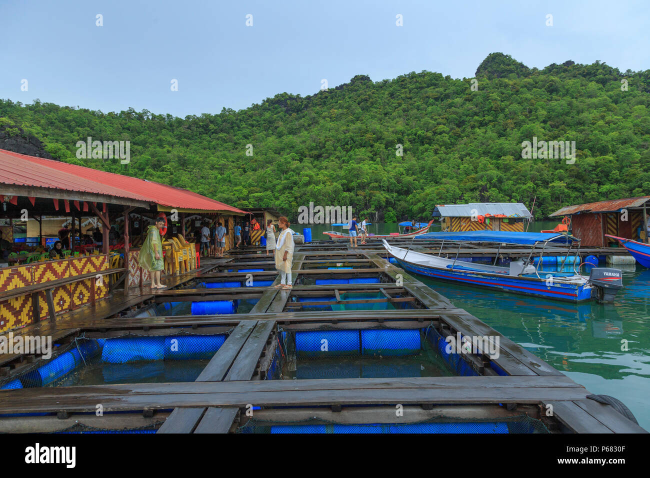 Schwimmende Fischfarm - Langkawi (Malaysia) Stockfotohttps://www.alamy.de/image-license-details/?v=1https://www.alamy.de/schwimmende-fischfarm-langkawi-malaysia-image210390335.html
RFP6830F–Schwimmende Fischfarm - Langkawi (Malaysia)
 Whalers Bay in der Nähe von Deception Island, Antarktis eine alte Walfangstation Stockfotohttps://www.alamy.de/image-license-details/?v=1https://www.alamy.de/whalers-bay-in-der-nahe-von-deception-island-antarktis-eine-alte-walfangstation-image551800911.html
RF2R1MKKB–Whalers Bay in der Nähe von Deception Island, Antarktis eine alte Walfangstation
 Arborek Insel In Raja Ampat Papua Indonesien Stockfotohttps://www.alamy.de/image-license-details/?v=1https://www.alamy.de/arborek-insel-in-raja-ampat-papua-indonesien-image243467523.html
RFT42W8K–Arborek Insel In Raja Ampat Papua Indonesien
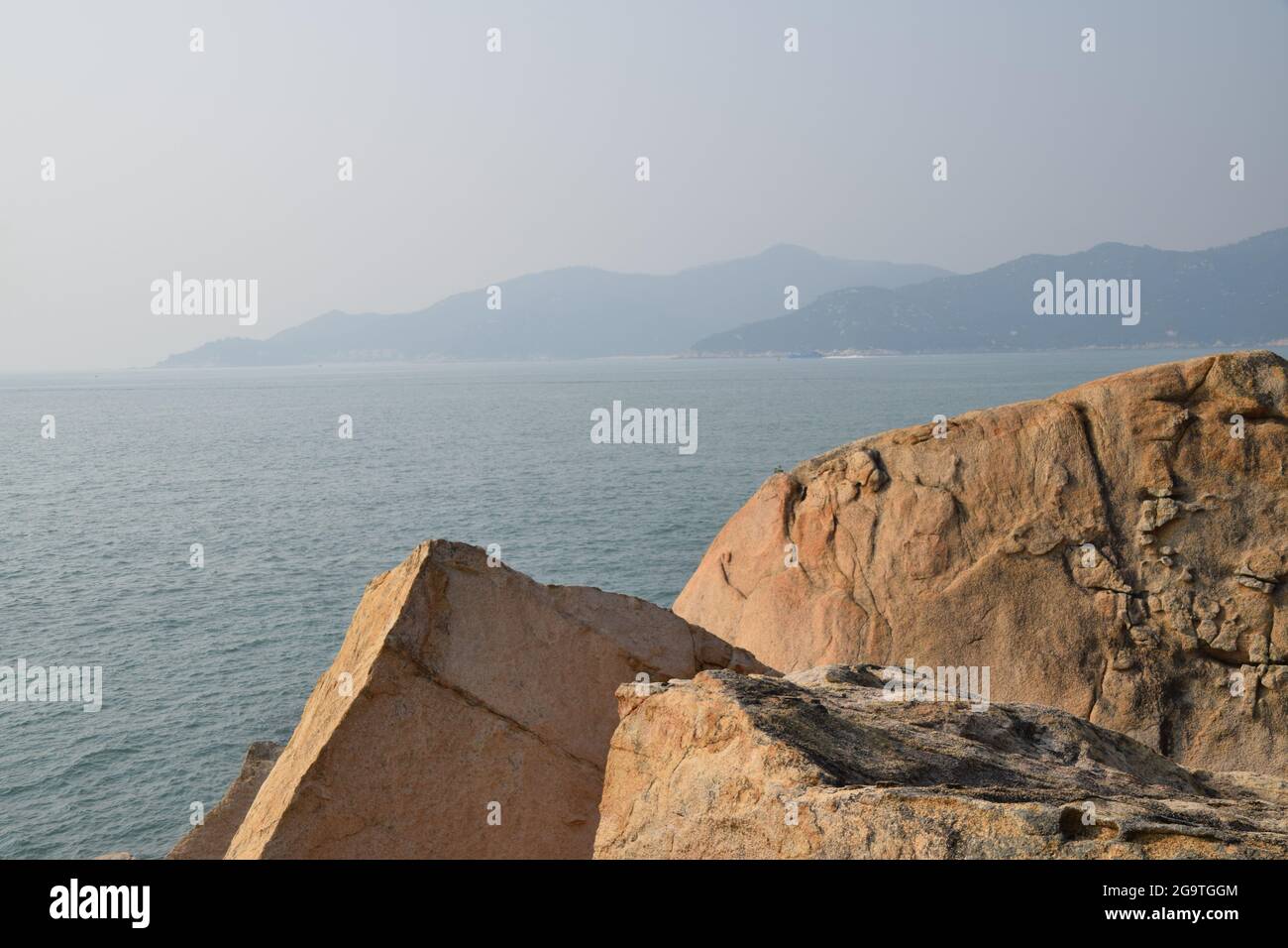 Felsen auf einer Insel in der Nähe von Hongkong Stockfotohttps://www.alamy.de/image-license-details/?v=1https://www.alamy.de/felsen-auf-einer-insel-in-der-nahe-von-hongkong-image436330964.html
RF2G9TGGM–Felsen auf einer Insel in der Nähe von Hongkong
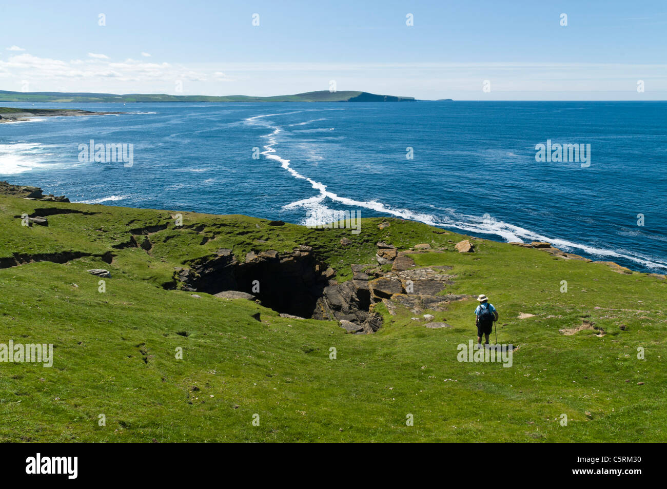 dh Scottish Coast Geo Wanderer ROUSAY ISLAND ORKNEY ISLES Rousay Tourist Blick auf seacliff schottland Menschen Küstenerosion Meer Stockfotohttps://www.alamy.de/image-license-details/?v=1https://www.alamy.de/stockfoto-dh-scottish-coast-geo-wanderer-rousay-island-orkney-isles-rousay-tourist-blick-auf-seacliff-schottland-menschen-kustenerosion-meer-38014676.html
RMC5RM30–dh Scottish Coast Geo Wanderer ROUSAY ISLAND ORKNEY ISLES Rousay Tourist Blick auf seacliff schottland Menschen Küstenerosion Meer
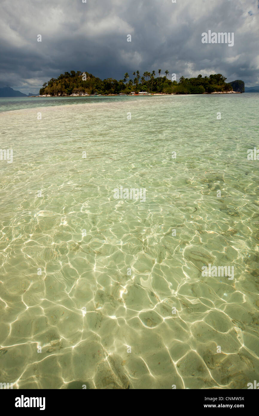 Sandbank auf der Schlangeninsel, Bacuit Bay, El Nido, Palawan, Philippinen, Asia Stockfotohttps://www.alamy.de/image-license-details/?v=1https://www.alamy.de/stockfoto-sandbank-auf-der-schlangeninsel-bacuit-bay-el-nido-palawan-philippinen-asia-47787318.html
RMCNMW5X–Sandbank auf der Schlangeninsel, Bacuit Bay, El Nido, Palawan, Philippinen, Asia
 Ein New York State Urban Development Corporation Umfrage Marker auf Roosevelt Island in New York City. Stockfotohttps://www.alamy.de/image-license-details/?v=1https://www.alamy.de/stockfoto-ein-new-york-state-urban-development-corporation-umfrage-marker-auf-roosevelt-island-in-new-york-city-33376944.html
RMBX8CHM–Ein New York State Urban Development Corporation Umfrage Marker auf Roosevelt Island in New York City.
 Maine Hummer backen Tourismus Stockfotohttps://www.alamy.de/image-license-details/?v=1https://www.alamy.de/stockfoto-maine-hummer-backen-tourismus-31471308.html
RFBR5HY8–Maine Hummer backen Tourismus
 Hong Kong Geo Park, High Island Reservoir Stockfotohttps://www.alamy.de/image-license-details/?v=1https://www.alamy.de/stockfoto-hong-kong-geo-park-high-island-reservoir-81131604.html
RFEKYT58–Hong Kong Geo Park, High Island Reservoir
 Keelung, Taiwan auf der Insel Heping an der Küste. Stockfotohttps://www.alamy.de/image-license-details/?v=1https://www.alamy.de/keelung-taiwan-auf-der-insel-heping-an-der-kuste-image341274351.html
RF2AR6AWK–Keelung, Taiwan auf der Insel Heping an der Küste.
 Eine Gruppe von Katastertechnikern arbeitet an geomap, einem abgelegenen Dorf auf der Insel Maio, Kap Verde, im Rahmen einer nationalen Landgrenze. Stockfotohttps://www.alamy.de/image-license-details/?v=1https://www.alamy.de/eine-gruppe-von-katastertechnikern-arbeitet-an-geomap-einem-abgelegenen-dorf-auf-der-insel-maio-kap-verde-im-rahmen-einer-nationalen-landgrenze-image383931162.html
RM2D8HG36–Eine Gruppe von Katastertechnikern arbeitet an geomap, einem abgelegenen Dorf auf der Insel Maio, Kap Verde, im Rahmen einer nationalen Landgrenze.
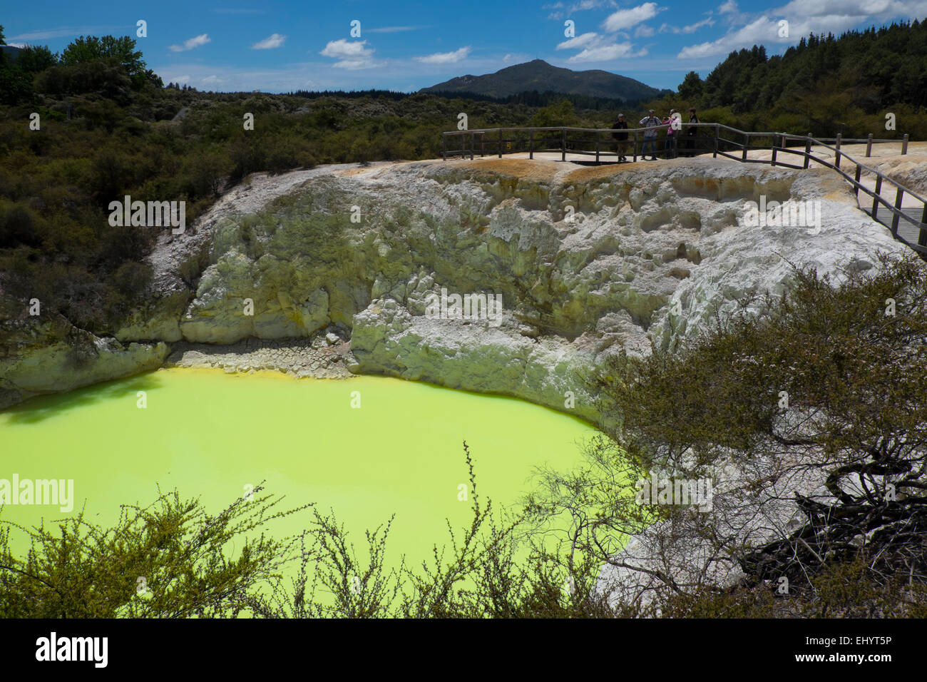 Des Teufels Bad, Wai O Tapu, natürliche Kalk grünen Pool, Nordinsel, Neuseeland Stockfotohttps://www.alamy.de/image-license-details/?v=1https://www.alamy.de/stockfoto-des-teufels-bad-wai-o-tapu-naturliche-kalk-grunen-pool-nordinsel-neuseeland-79902306.html
RMEHYT5P–Des Teufels Bad, Wai O Tapu, natürliche Kalk grünen Pool, Nordinsel, Neuseeland
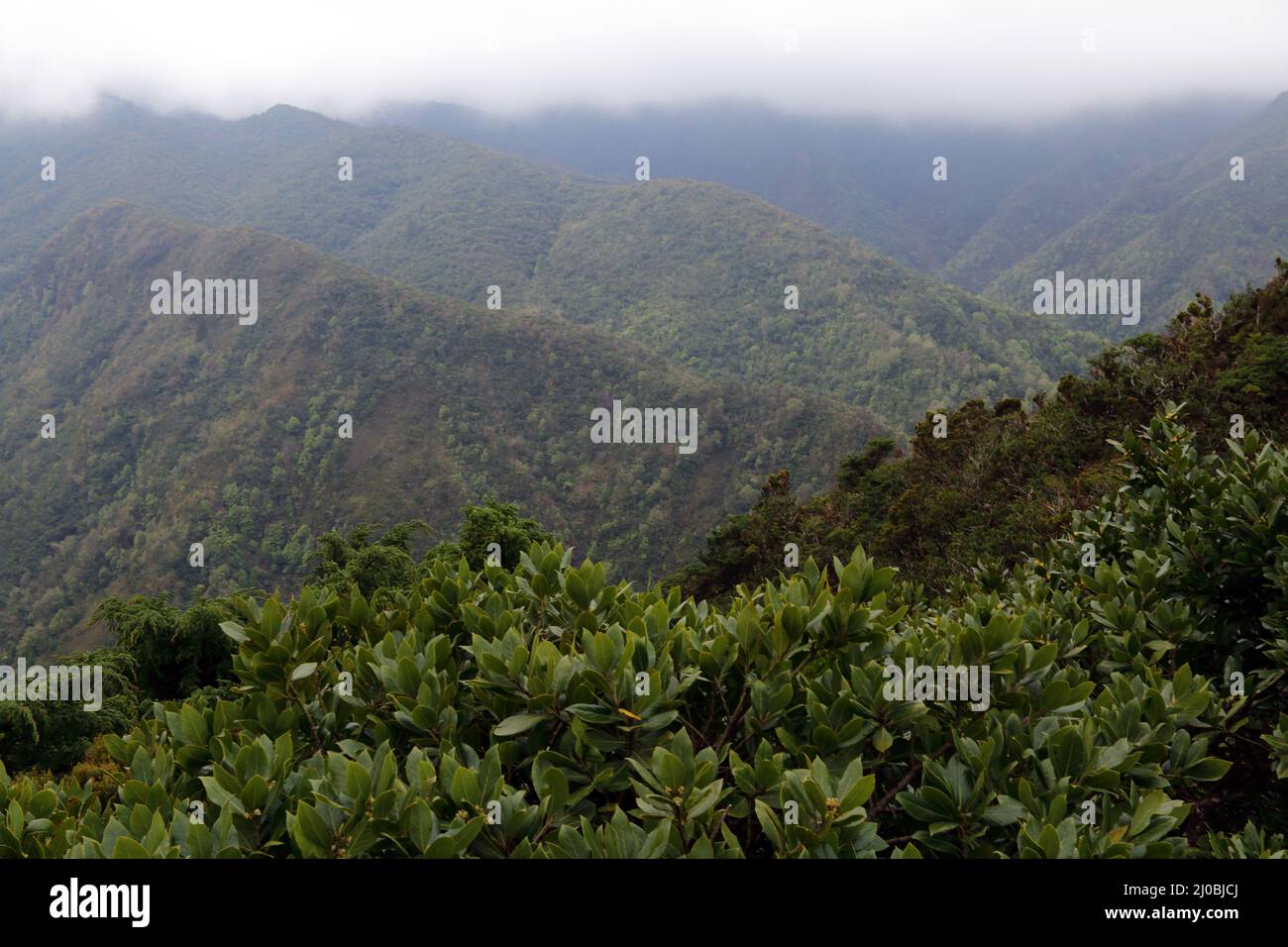 Laurisilva, Lorbeerwald, Sao Miguel Insel, Azoren Stockfotohttps://www.alamy.de/image-license-details/?v=1https://www.alamy.de/laurisilva-lorbeerwald-sao-miguel-insel-azoren-image464935874.html
RF2J0BJCJ–Laurisilva, Lorbeerwald, Sao Miguel Insel, Azoren
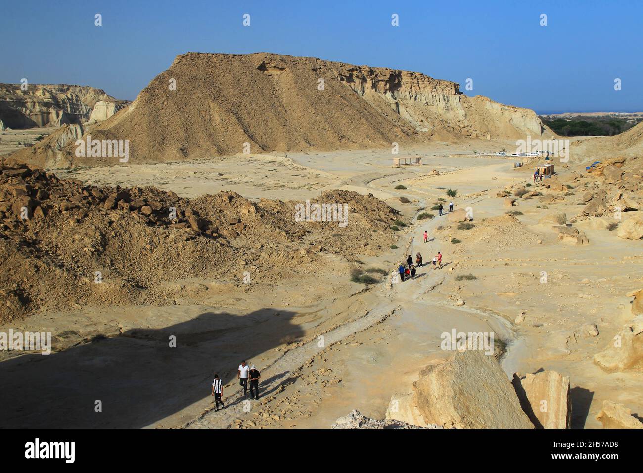 Star Valley, Qeshm Island Stockfotohttps://www.alamy.de/image-license-details/?v=1https://www.alamy.de/star-valley-qeshm-island-image450704724.html
RF2H57AD8–Star Valley, Qeshm Island
 ALTERNATIVE ENERGIE GROßE BOREFIELD GEO THERMAL POWER PLANT WAIRAKE NORDINSEL NEUSEELAND Stockfotohttps://www.alamy.de/image-license-details/?v=1https://www.alamy.de/stockfoto-alternative-energie-grosse-borefield-geo-thermal-power-plant-wairake-nordinsel-neuseeland-12302634.html
RMA9A9JK–ALTERNATIVE ENERGIE GROßE BOREFIELD GEO THERMAL POWER PLANT WAIRAKE NORDINSEL NEUSEELAND
 Rotorua Mud Federn. North Island. Neuseeland Stockfotohttps://www.alamy.de/image-license-details/?v=1https://www.alamy.de/stockfoto-rotorua-mud-federn-north-island-neuseeland-16577147.html
RFAWGKBT–Rotorua Mud Federn. North Island. Neuseeland
 Coll. Geo T. Bartlett, Foto zeigt George True Bartlett, der als Stabschef des Eastern Department der U.S. Army unter General Leonard Wood auf Governors Island, New York, 1917 diente, Glass negative, 1 negative: Glass Stockfotohttps://www.alamy.de/image-license-details/?v=1https://www.alamy.de/coll-geo-t-bartlett-foto-zeigt-george-true-bartlett-der-als-stabschef-des-eastern-department-der-us-army-unter-general-leonard-wood-auf-governors-island-new-york-1917-diente-glass-negative-1-negative-glass-image599558258.html
RM2WRC6JX–Coll. Geo T. Bartlett, Foto zeigt George True Bartlett, der als Stabschef des Eastern Department der U.S. Army unter General Leonard Wood auf Governors Island, New York, 1917 diente, Glass negative, 1 negative: Glass
 Blick von der Geo-Trail, High Island Reservoir, Sai Kung, Hong Kong Stockfotohttps://www.alamy.de/image-license-details/?v=1https://www.alamy.de/stockfoto-blick-von-der-geo-trail-high-island-reservoir-sai-kung-hong-kong-92927933.html
RFFB56EN–Blick von der Geo-Trail, High Island Reservoir, Sai Kung, Hong Kong
 Blick vom High Island Reservoir East Dam im Sai Kung East Country Park in Hong Kong. Stockfotohttps://www.alamy.de/image-license-details/?v=1https://www.alamy.de/blick-vom-high-island-reservoir-east-dam-im-sai-kung-east-country-park-in-hong-kong-image522689174.html
RM2NAAFAE–Blick vom High Island Reservoir East Dam im Sai Kung East Country Park in Hong Kong.
 Schwimmende Fischfarm - Langkawi (Malaysia) Stockfotohttps://www.alamy.de/image-license-details/?v=1https://www.alamy.de/schwimmende-fischfarm-langkawi-malaysia-image210390373.html
RFP6831W–Schwimmende Fischfarm - Langkawi (Malaysia)
 Whalers Bay in der Nähe von Deception Island, Antarktis eine alte Walfangstation Stockfotohttps://www.alamy.de/image-license-details/?v=1https://www.alamy.de/whalers-bay-in-der-nahe-von-deception-island-antarktis-eine-alte-walfangstation-image551801100.html
RF2R1MKX4–Whalers Bay in der Nähe von Deception Island, Antarktis eine alte Walfangstation
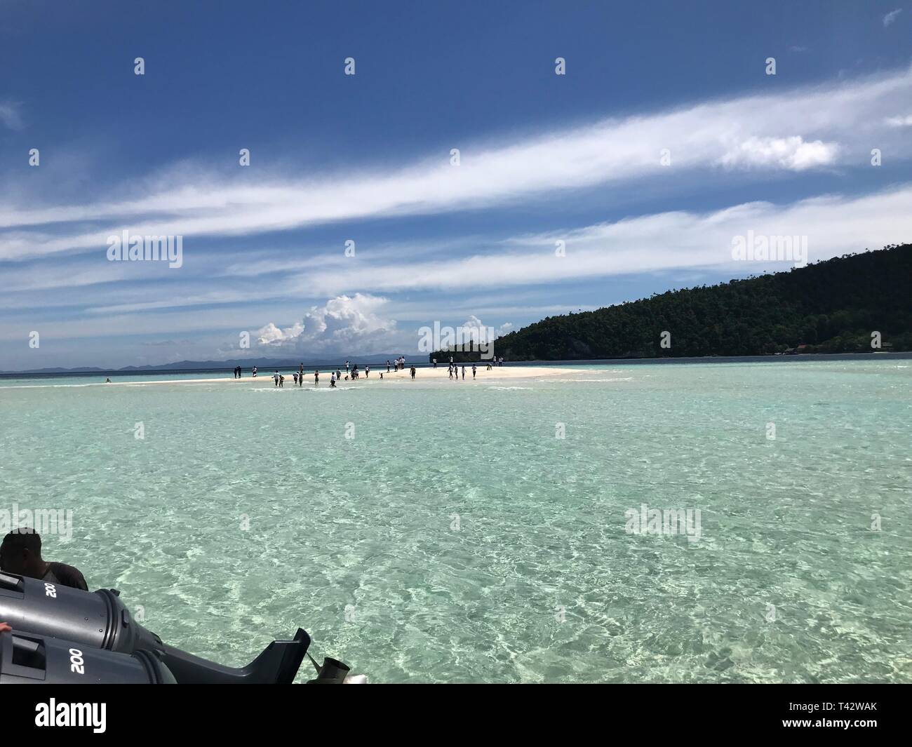 Pasir Timbul Insel In Raja Ampat Papua Indonesien Stockfotohttps://www.alamy.de/image-license-details/?v=1https://www.alamy.de/pasir-timbul-insel-in-raja-ampat-papua-indonesien-image243467579.html
RFT42WAK–Pasir Timbul Insel In Raja Ampat Papua Indonesien
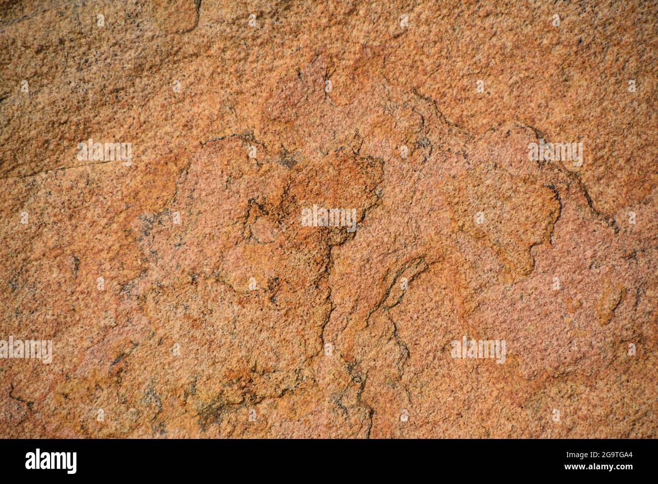 Felsen auf einer Insel in der Nähe von Hongkong Stockfotohttps://www.alamy.de/image-license-details/?v=1https://www.alamy.de/felsen-auf-einer-insel-in-der-nahe-von-hongkong-image436330780.html
RF2G9TGA4–Felsen auf einer Insel in der Nähe von Hongkong
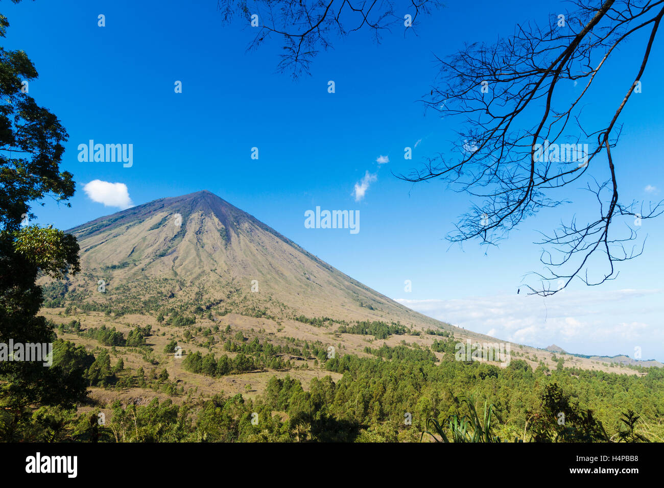 Inerie Vulkan. Insel Flores. Indonesien, Asien. Stockfotohttps://www.alamy.de/image-license-details/?v=1https://www.alamy.de/stockfoto-inerie-vulkan-insel-flores-indonesien-asien-123423084.html
RMH4PBB8–Inerie Vulkan. Insel Flores. Indonesien, Asien.
 Luxus-Resort auf Pangulasian Insel Bacuit Bay, El Nido, Palawan, Philippinen, Asien Stockfotohttps://www.alamy.de/image-license-details/?v=1https://www.alamy.de/stockfoto-luxus-resort-auf-pangulasian-insel-bacuit-bay-el-nido-palawan-philippinen-asien-47786969.html
RMCNMTND–Luxus-Resort auf Pangulasian Insel Bacuit Bay, El Nido, Palawan, Philippinen, Asien
 Karte der Insel von Korsika als eine Übersichtskarte in pastelorange Stock Vektorhttps://www.alamy.de/image-license-details/?v=1https://www.alamy.de/stockfoto-karte-der-insel-von-korsika-als-eine-ubersichtskarte-in-pastelorange-146886356.html
RFJEY718–Karte der Insel von Korsika als eine Übersichtskarte in pastelorange
 Eshaness Basaltfelsen, Calders Geo, Lunker und stapeln, Northmavine, Shetland-Inseln, Schottland Stockfotohttps://www.alamy.de/image-license-details/?v=1https://www.alamy.de/stockfoto-eshaness-basaltfelsen-calders-geo-lunker-und-stapeln-northmavine-shetland-inseln-schottland-20580956.html
RMB5DF64–Eshaness Basaltfelsen, Calders Geo, Lunker und stapeln, Northmavine, Shetland-Inseln, Schottland
 Vogelinsel La Cacata, Nationalpark Los Haitises, Dominikanische Republik Stockfotohttps://www.alamy.de/image-license-details/?v=1https://www.alamy.de/stockfoto-vogelinsel-la-cacata-nationalpark-los-haitises-dominikanische-republik-36891090.html
RMC40EXX–Vogelinsel La Cacata, Nationalpark Los Haitises, Dominikanische Republik
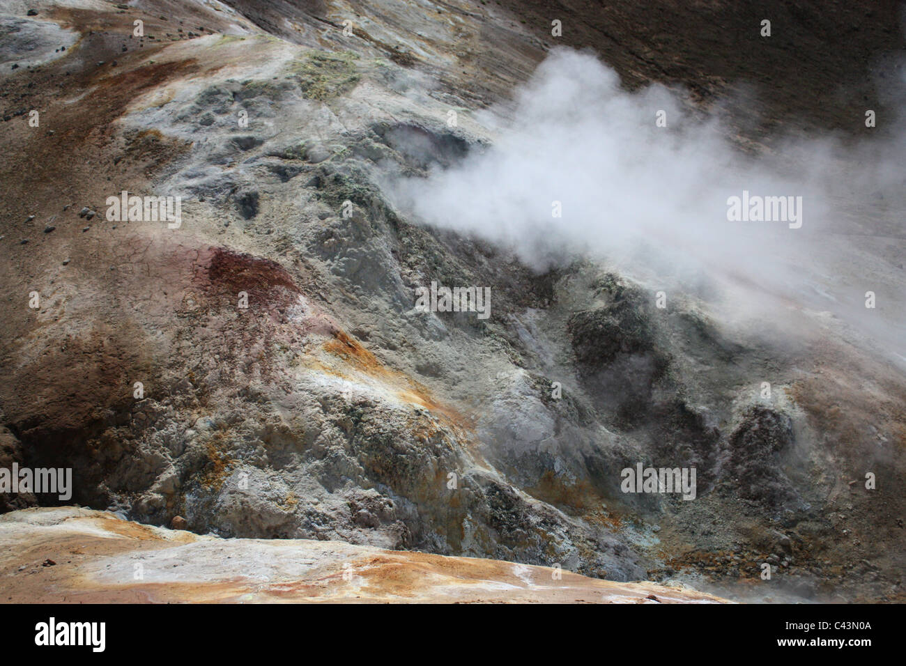 Island, Vulkaninsel, Europa, Natur, Landschaft, Landschaft, Krafla, Myvatn, Sollfataren, Stora Viti, aktiv, Vulkan, Zone, Geo Stockfotohttps://www.alamy.de/image-license-details/?v=1https://www.alamy.de/stockfoto-island-vulkaninsel-europa-natur-landschaft-landschaft-krafla-myvatn-sollfataren-stora-viti-aktiv-vulkan-zone-geo-36961690.html
RMC43N0A–Island, Vulkaninsel, Europa, Natur, Landschaft, Landschaft, Krafla, Myvatn, Sollfataren, Stora Viti, aktiv, Vulkan, Zone, Geo
 Eine Gruppe von Katastertechnikern arbeitet an geomap, einem abgelegenen Dorf auf der Insel Maio, Kap Verde, im Rahmen einer nationalen Landgrenze. Stockfotohttps://www.alamy.de/image-license-details/?v=1https://www.alamy.de/eine-gruppe-von-katastertechnikern-arbeitet-an-geomap-einem-abgelegenen-dorf-auf-der-insel-maio-kap-verde-im-rahmen-einer-nationalen-landgrenze-image383931493.html
RM2D8HGF1–Eine Gruppe von Katastertechnikern arbeitet an geomap, einem abgelegenen Dorf auf der Insel Maio, Kap Verde, im Rahmen einer nationalen Landgrenze.
 Lindelse Molle, restaurierte Mühle, Rudkobing, Geo Park South Funen, Langeland Island, Windmühle, Frühling, dänische Südsee, Ostsee, Dänemark Stockfotohttps://www.alamy.de/image-license-details/?v=1https://www.alamy.de/lindelse-molle-restaurierte-muhle-rudkobing-geo-park-south-funen-langeland-island-windmuhle-fruhling-danische-sudsee-ostsee-danemark-image609115585.html
RM2XAYH41–Lindelse Molle, restaurierte Mühle, Rudkobing, Geo Park South Funen, Langeland Island, Windmühle, Frühling, dänische Südsee, Ostsee, Dänemark
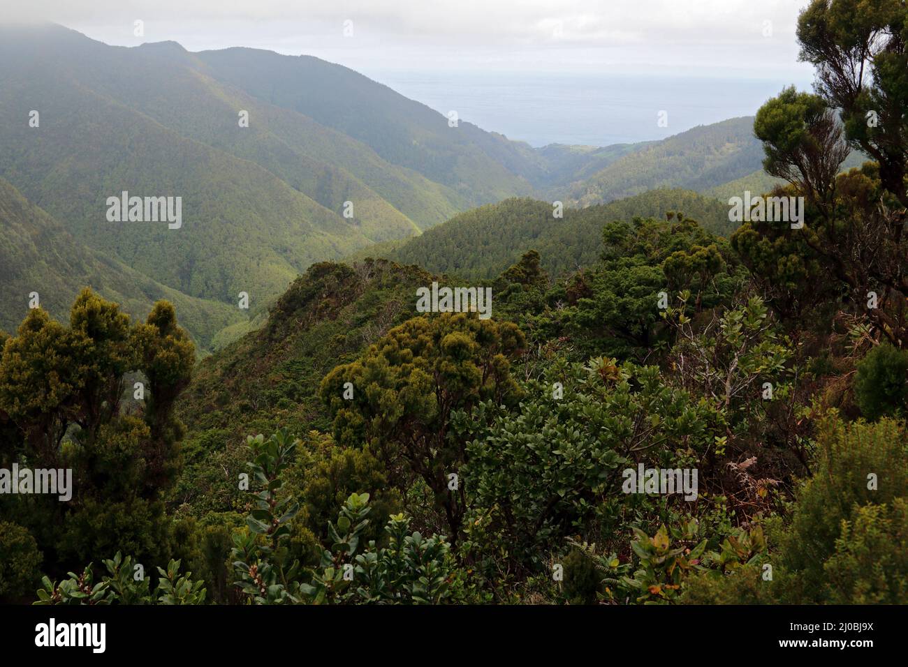 Laurisilva, Lorbeerwald, Sao Miguel Insel, Azoren Stockfotohttps://www.alamy.de/image-license-details/?v=1https://www.alamy.de/laurisilva-lorbeerwald-sao-miguel-insel-azoren-image464935798.html
RF2J0BJ9X–Laurisilva, Lorbeerwald, Sao Miguel Insel, Azoren
 Star Valley, Qeshm Island Stockfotohttps://www.alamy.de/image-license-details/?v=1https://www.alamy.de/star-valley-qeshm-island-image450705353.html
RF2H57B7N–Star Valley, Qeshm Island
 ALTERNATIVE ENERGIE GROßE BOREFIELD GEO THERMAL POWER PLANT WAIRAKE NNORTH NORDINSEL NEUSEELAND Stockfotohttps://www.alamy.de/image-license-details/?v=1https://www.alamy.de/stockfoto-alternative-energie-grosse-borefield-geo-thermal-power-plant-wairake-nnorth-nordinsel-neuseeland-12302633.html
RMA9A9JJ–ALTERNATIVE ENERGIE GROßE BOREFIELD GEO THERMAL POWER PLANT WAIRAKE NNORTH NORDINSEL NEUSEELAND
 Heiße Quellen. Rotorua. North Island. Neuseeland Stockfotohttps://www.alamy.de/image-license-details/?v=1https://www.alamy.de/stockfoto-heisse-quellen-rotorua-north-island-neuseeland-16577072.html
RFAWGK5N–Heiße Quellen. Rotorua. North Island. Neuseeland
 Providence, RI, Blick auf den Hafen, von dem Gelände des Geo. W. Rhodes, Esq. genommen / j.b. Bachelder; Lith Endicott & Co., N.Y. Stockfotohttps://www.alamy.de/image-license-details/?v=1https://www.alamy.de/stockfoto-providence-ri-blick-auf-den-hafen-von-dem-gelande-des-geo-w-rhodes-esq-genommen-jb-bachelder-lith-endicott-co-ny-77316592.html
RMEDP22T–Providence, RI, Blick auf den Hafen, von dem Gelände des Geo. W. Rhodes, Esq. genommen / j.b. Bachelder; Lith Endicott & Co., N.Y.
 Blick von der Geo-Trail, High Island Reservoir, Sai Kung, Hong Kong Stockfotohttps://www.alamy.de/image-license-details/?v=1https://www.alamy.de/stockfoto-blick-von-der-geo-trail-high-island-reservoir-sai-kung-hong-kong-92927644.html
RFFB564C–Blick von der Geo-Trail, High Island Reservoir, Sai Kung, Hong Kong
 High Island Reservoir im Sai Kung East Country Park in Hong Kong. Stockfotohttps://www.alamy.de/image-license-details/?v=1https://www.alamy.de/high-island-reservoir-im-sai-kung-east-country-park-in-hong-kong-image522688968.html
RM2NAAF34–High Island Reservoir im Sai Kung East Country Park in Hong Kong.
 Schwimmende Fischfarm - Langkawi (Malaysia) Stockfotohttps://www.alamy.de/image-license-details/?v=1https://www.alamy.de/schwimmende-fischfarm-langkawi-malaysia-image210390348.html
RFP68310–Schwimmende Fischfarm - Langkawi (Malaysia)
 Whalers Bay in der Nähe von Deception Island, Antarktis eine alte Walfangstation Stockfotohttps://www.alamy.de/image-license-details/?v=1https://www.alamy.de/whalers-bay-in-der-nahe-von-deception-island-antarktis-eine-alte-walfangstation-image551800792.html
RF2R1MKF4–Whalers Bay in der Nähe von Deception Island, Antarktis eine alte Walfangstation
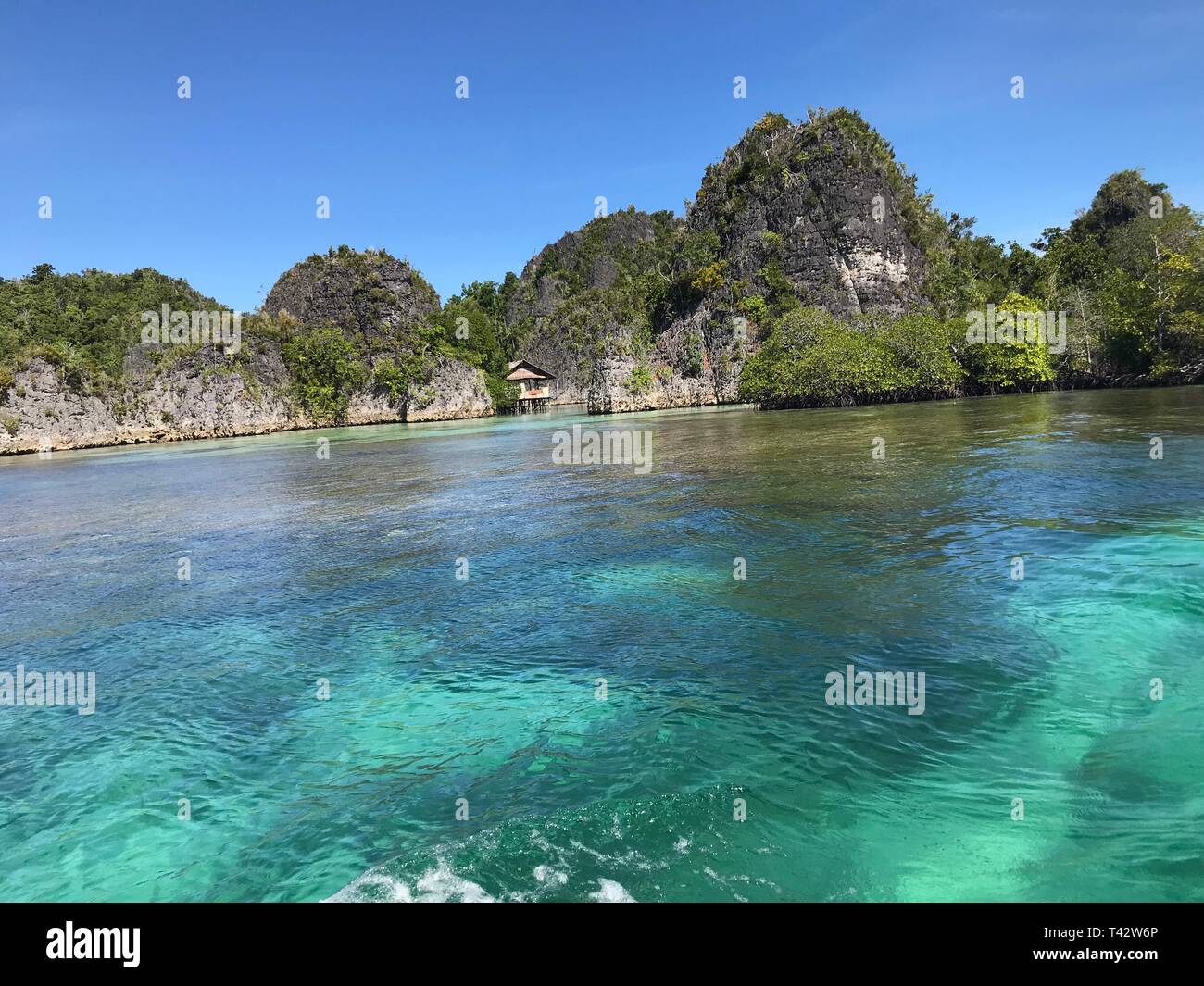 Piaynemo Geo-Park in Raja Ampat Papua Indonesien Stockfotohttps://www.alamy.de/image-license-details/?v=1https://www.alamy.de/piaynemo-geo-park-in-raja-ampat-papua-indonesien-image243467470.html
RFT42W6P–Piaynemo Geo-Park in Raja Ampat Papua Indonesien
 Felsen auf einer Insel in der Nähe von Hongkong Stockfotohttps://www.alamy.de/image-license-details/?v=1https://www.alamy.de/felsen-auf-einer-insel-in-der-nahe-von-hongkong-image436330772.html
RF2G9TG9T–Felsen auf einer Insel in der Nähe von Hongkong
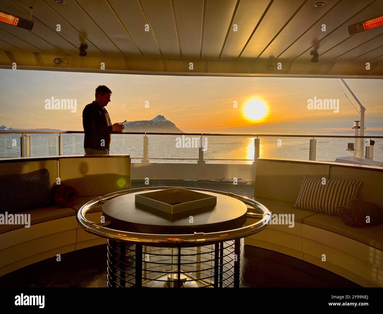 An Bord des Kreuzfahrtschiffs Lindblad Nat Geo in der Antarktis genießt ein Passagier den atemberaubenden Sonnenuntergang über dem südlichen Ozean mit Blick auf eine Insel Stockfotohttps://www.alamy.de/image-license-details/?v=1https://www.alamy.de/an-bord-des-kreuzfahrtschiffs-lindblad-nat-geo-in-der-antarktis-geniesst-ein-passagier-den-atemberaubenden-sonnenuntergang-uber-dem-sudlichen-ozean-mit-blick-auf-eine-insel-image625319594.html
RF2Y99NEJ–An Bord des Kreuzfahrtschiffs Lindblad Nat Geo in der Antarktis genießt ein Passagier den atemberaubenden Sonnenuntergang über dem südlichen Ozean mit Blick auf eine Insel
 Luxus-Resort und Strand auf Pangulasian Insel Bacuit Bay, El Nido, Palawan, Philippinen, Asien Stockfotohttps://www.alamy.de/image-license-details/?v=1https://www.alamy.de/stockfoto-luxus-resort-und-strand-auf-pangulasian-insel-bacuit-bay-el-nido-palawan-philippinen-asien-47787074.html
RMCNMTW6–Luxus-Resort und Strand auf Pangulasian Insel Bacuit Bay, El Nido, Palawan, Philippinen, Asien
 Inselkarte des Elsass als eine Übersichtskarte in grün Stock Vektorhttps://www.alamy.de/image-license-details/?v=1https://www.alamy.de/stockfoto-inselkarte-des-elsass-als-eine-ubersichtskarte-in-grun-146886107.html
RFJEY6MB–Inselkarte des Elsass als eine Übersichtskarte in grün
 PHILAE. Die Insel mit dem Tempel der Isis. Ägypten, antike print 1895 Stockfotohttps://www.alamy.de/image-license-details/?v=1https://www.alamy.de/stockfoto-philae-die-insel-mit-dem-tempel-der-isis-agypten-antike-print-1895-93418537.html
RMFBYG89–PHILAE. Die Insel mit dem Tempel der Isis. Ägypten, antike print 1895
 Herrliche Frigatebirds auf Bird Island La Cacata, Fregata magnificens, Nationalpark Los Haitises, Dominikanische Republik Stockfotohttps://www.alamy.de/image-license-details/?v=1https://www.alamy.de/stockfoto-herrliche-frigatebirds-auf-bird-island-la-cacata-fregata-magnificens-nationalpark-los-haitises-dominikanische-republik-36891107.html
RMC40EYF–Herrliche Frigatebirds auf Bird Island La Cacata, Fregata magnificens, Nationalpark Los Haitises, Dominikanische Republik
 Der Blick aus dem Geo-Trail, High Island Reservoir, Sai Kung, Hong Kong Stockfotohttps://www.alamy.de/image-license-details/?v=1https://www.alamy.de/stockfoto-der-blick-aus-dem-geo-trail-high-island-reservoir-sai-kung-hong-kong-93023193.html
RFFB9G0W–Der Blick aus dem Geo-Trail, High Island Reservoir, Sai Kung, Hong Kong
 Eine Gruppe von Katastertechnikern arbeitet an geomap, einem abgelegenen Dorf auf der Insel Maio, Kap Verde, im Rahmen einer nationalen Landgrenze. Stockfotohttps://www.alamy.de/image-license-details/?v=1https://www.alamy.de/eine-gruppe-von-katastertechnikern-arbeitet-an-geomap-einem-abgelegenen-dorf-auf-der-insel-maio-kap-verde-im-rahmen-einer-nationalen-landgrenze-image383931017.html
RM2D8HFX1–Eine Gruppe von Katastertechnikern arbeitet an geomap, einem abgelegenen Dorf auf der Insel Maio, Kap Verde, im Rahmen einer nationalen Landgrenze.
 Sand Geo, Fisherman's Huts, Festland, Orkney Island, Schottland, VEREINIGTES KÖNIGREICH Stockfotohttps://www.alamy.de/image-license-details/?v=1https://www.alamy.de/sand-geo-fishermans-huts-festland-orkney-island-schottland-vereinigtes-konigreich-image488026111.html
RM2K9YE7Y–Sand Geo, Fisherman's Huts, Festland, Orkney Island, Schottland, VEREINIGTES KÖNIGREICH
 Tropische Insel Strand, Marmor Geoforest Park, Langkawi, Malaysia Stockfotohttps://www.alamy.de/image-license-details/?v=1https://www.alamy.de/stockfoto-tropische-insel-strand-marmor-geoforest-park-langkawi-malaysia-80903283.html
RFEKHCXY–Tropische Insel Strand, Marmor Geoforest Park, Langkawi, Malaysia
 Star Valley, Qeshm Island Stockfotohttps://www.alamy.de/image-license-details/?v=1https://www.alamy.de/star-valley-qeshm-island-image450703940.html
RF2H579D8–Star Valley, Qeshm Island
 ALTERNATIVE ENERGIE GROßE BOREFIELD GEO THERMAL POWER PLANT WAIRAKE NORDINSEL NEUSEELAND Stockfotohttps://www.alamy.de/image-license-details/?v=1https://www.alamy.de/stockfoto-alternative-energie-grosse-borefield-geo-thermal-power-plant-wairake-nordinsel-neuseeland-12302856.html
RMA9AA8W–ALTERNATIVE ENERGIE GROßE BOREFIELD GEO THERMAL POWER PLANT WAIRAKE NORDINSEL NEUSEELAND
 Islande, Fumerolle a Hverir, Region de Myvatn // Island, Dampfaufzählungen in der geothermisch aktiven Region Hverir, Nordisland. Stockfotohttps://www.alamy.de/image-license-details/?v=1https://www.alamy.de/islande-fumerolle-a-hverir-region-de-myvatn-island-dampfaufzahlungen-in-der-geothermisch-aktiven-region-hverir-nordisland-image450322607.html
RM2H4HY27–Islande, Fumerolle a Hverir, Region de Myvatn // Island, Dampfaufzählungen in der geothermisch aktiven Region Hverir, Nordisland.
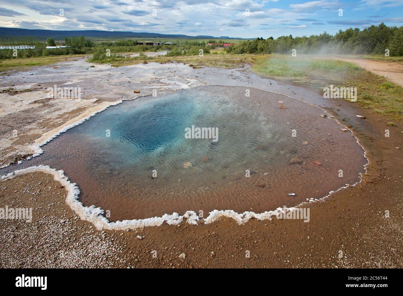 Die heiße Quelle 'Fata' im Haukadalur Thermalfeld Stockfotohttps://www.alamy.de/image-license-details/?v=1https://www.alamy.de/die-heisse-quelle-fata-im-haukadalur-thermalfeld-image364641652.html
RM2C56T44–Die heiße Quelle 'Fata' im Haukadalur Thermalfeld
 Blick von der Geo-Trail, High Island Reservoir, Sai Kung, Hong Kong Stockfotohttps://www.alamy.de/image-license-details/?v=1https://www.alamy.de/stockfoto-blick-von-der-geo-trail-high-island-reservoir-sai-kung-hong-kong-92928071.html
RFFB56KK–Blick von der Geo-Trail, High Island Reservoir, Sai Kung, Hong Kong
 High Island Reservoir im Sai Kung East Country Park in Hong Kong. Stockfotohttps://www.alamy.de/image-license-details/?v=1https://www.alamy.de/high-island-reservoir-im-sai-kung-east-country-park-in-hong-kong-image522687520.html
RM2NAAD7C–High Island Reservoir im Sai Kung East Country Park in Hong Kong.