Schnellfilter:
Geothermische gebiete Stockfotos & Bilder
 Schlammpfützen Form in Hochtemperatur-geothermalen Gebieten sind diese hier in Bolivien Stockfotohttps://www.alamy.de/image-license-details/?v=1https://www.alamy.de/stockfoto-schlammpfutzen-form-in-hochtemperatur-geothermalen-gebieten-sind-diese-hier-in-bolivien-92996079.html
RFFB89CF–Schlammpfützen Form in Hochtemperatur-geothermalen Gebieten sind diese hier in Bolivien
 Geothermische Gebiet im Lassen Volcanic National Park in Kalifornien, USA Stockfotohttps://www.alamy.de/image-license-details/?v=1https://www.alamy.de/stockfoto-geothermische-gebiet-im-lassen-volcanic-national-park-in-kalifornien-usa-122104489.html
RMH2J9EH–Geothermische Gebiet im Lassen Volcanic National Park in Kalifornien, USA
 Hellisheidi geothermischen Kraftwerk, Island Stockfotohttps://www.alamy.de/image-license-details/?v=1https://www.alamy.de/stockfoto-hellisheidi-geothermischen-kraftwerk-island-30388550.html
RMBNC8WA–Hellisheidi geothermischen Kraftwerk, Island
 Vulkanische sprudelnden Schlammpfützen Hverir, Myvatn, Nordhurland Eystra, Island. Stockfotohttps://www.alamy.de/image-license-details/?v=1https://www.alamy.de/stockfoto-vulkanische-sprudelnden-schlammpfutzen-hverir-myvatn-nordhurland-eystra-island-88813838.html
RMF4DPXP–Vulkanische sprudelnden Schlammpfützen Hverir, Myvatn, Nordhurland Eystra, Island.
 Lebensfeindliche vulkanische und geothermische Landschaft von Namaskard, Island, Europa Stockfotohttps://www.alamy.de/image-license-details/?v=1https://www.alamy.de/lebensfeindliche-vulkanische-und-geothermische-landschaft-von-namaskard-island-europa-image632629425.html
RF2YN6N81–Lebensfeindliche vulkanische und geothermische Landschaft von Namaskard, Island, Europa
 Die zerklüftete Landschaft Islands, die von der Autobahn auf der Touristenroute Golden Circle aus gesehen wird Stockfotohttps://www.alamy.de/image-license-details/?v=1https://www.alamy.de/die-zerkluftete-landschaft-islands-die-von-der-autobahn-auf-der-touristenroute-golden-circle-aus-gesehen-wird-image630343304.html
RF2YHEH8T–Die zerklüftete Landschaft Islands, die von der Autobahn auf der Touristenroute Golden Circle aus gesehen wird
 Nahaufnahme eines sprudelnden Schlammpools im aktiven geothermischen Gebiet Waiotapu, Rotorua, Neuseeland Stockfotohttps://www.alamy.de/image-license-details/?v=1https://www.alamy.de/nahaufnahme-eines-sprudelnden-schlammpools-im-aktiven-geothermischen-gebiet-waiotapu-rotorua-neuseeland-image415029345.html
RM2F3664H–Nahaufnahme eines sprudelnden Schlammpools im aktiven geothermischen Gebiet Waiotapu, Rotorua, Neuseeland
 Krysuvik geothermisches Gebiet, Südwest-Island. Die wichtigsten geothermischen Gebiete in Krysuvik sind Seltun, Hverahvammur und Hverahlid. Stockfotohttps://www.alamy.de/image-license-details/?v=1https://www.alamy.de/krysuvik-geothermisches-gebiet-sudwest-island-die-wichtigsten-geothermischen-gebiete-in-krysuvik-sind-seltun-hverahvammur-und-hverahlid-image632142403.html
RF2YMCG2B–Krysuvik geothermisches Gebiet, Südwest-Island. Die wichtigsten geothermischen Gebiete in Krysuvik sind Seltun, Hverahvammur und Hverahlid.
 Hverir ist eines der aktivsten Geothermiegebiete in ganz Island. Auch bekannt als Hverarönd, zeichnet sich diese Region durch ihre ockerfarbenen Landschaften aus Stockfotohttps://www.alamy.de/image-license-details/?v=1https://www.alamy.de/hverir-ist-eines-der-aktivsten-geothermiegebiete-in-ganz-island-auch-bekannt-als-hverarond-zeichnet-sich-diese-region-durch-ihre-ockerfarbenen-landschaften-aus-image475131347.html
RF2JH02TK–Hverir ist eines der aktivsten Geothermiegebiete in ganz Island. Auch bekannt als Hverarönd, zeichnet sich diese Region durch ihre ockerfarbenen Landschaften aus
 Geothermie Gunnuhver, Island, Reykjanes Peninsula, Grindavik Stockfotohttps://www.alamy.de/image-license-details/?v=1https://www.alamy.de/geothermie-gunnuhver-island-reykjanes-peninsula-grindavik-image399136873.html
RM2E5A749–Geothermie Gunnuhver, Island, Reykjanes Peninsula, Grindavik
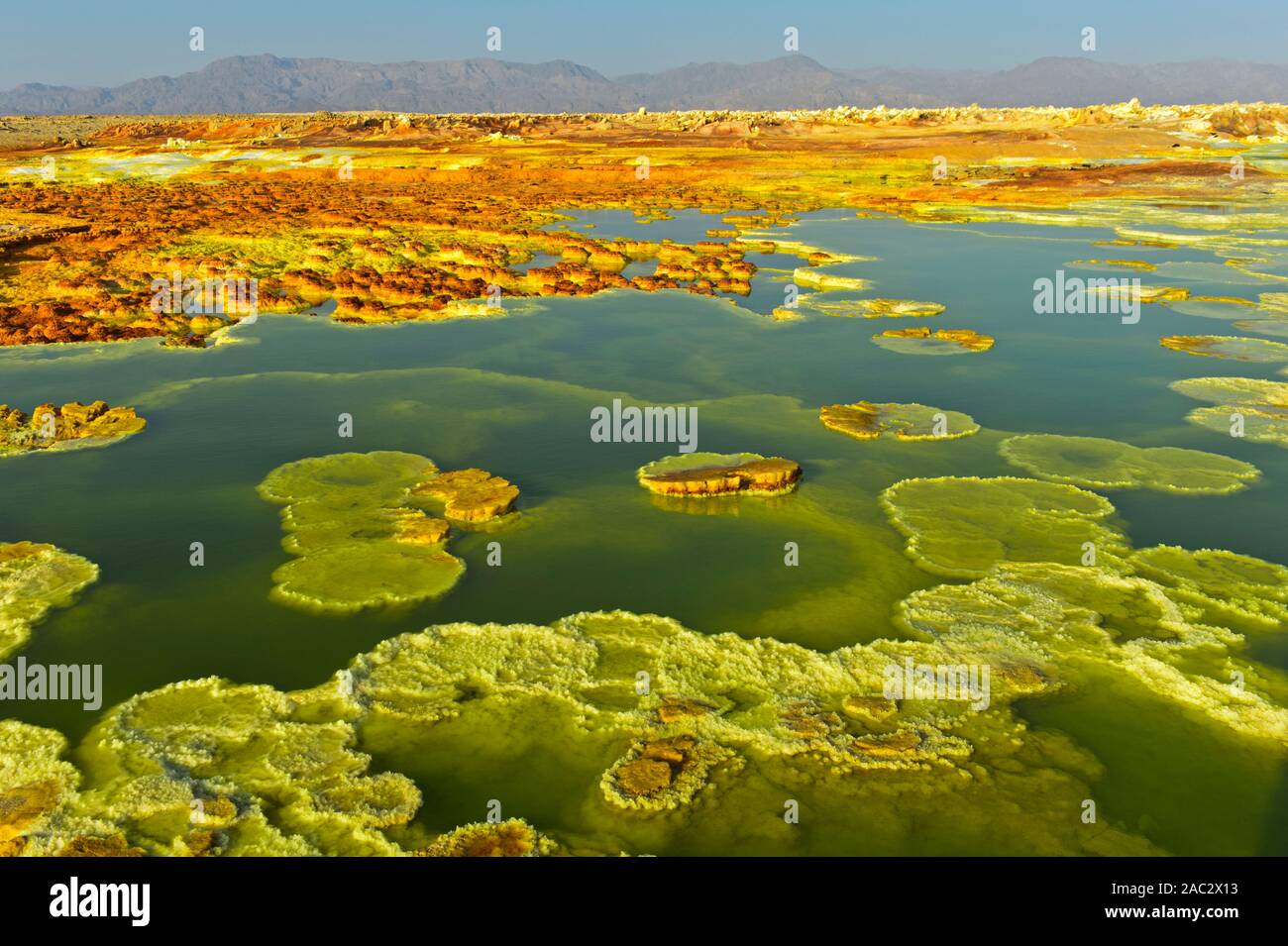 Kristallisiert Sulfide in einem sauren Sole-pool, geothermische Feld von Dallol, Danakil Depression, Afar Dreieck, Äthiopien Stockfotohttps://www.alamy.de/image-license-details/?v=1https://www.alamy.de/kristallisiert-sulfide-in-einem-sauren-sole-pool-geothermische-feld-von-dallol-danakil-depression-afar-dreieck-athiopien-image334437183.html
RM2AC2X13–Kristallisiert Sulfide in einem sauren Sole-pool, geothermische Feld von Dallol, Danakil Depression, Afar Dreieck, Äthiopien
 Holzstege in den geothermischen Gebieten des Yellowstone National Park, Wyoming, USA Stockfotohttps://www.alamy.de/image-license-details/?v=1https://www.alamy.de/holzstege-in-den-geothermischen-gebieten-des-yellowstone-national-park-wyoming-usa-image444106465.html
RF2GPEP95–Holzstege in den geothermischen Gebieten des Yellowstone National Park, Wyoming, USA
 geothermische Gebiet Stockfotohttps://www.alamy.de/image-license-details/?v=1https://www.alamy.de/stockfoto-geothermische-gebiet-78889185.html
RMEG9KXW–geothermische Gebiet
 Geysir Geothermie hot spring, Sudhurland, Island Stockfotohttps://www.alamy.de/image-license-details/?v=1https://www.alamy.de/geysir-geothermie-hot-spring-sudhurland-island-image271775445.html
RMWP4C9W–Geysir Geothermie hot spring, Sudhurland, Island
 Gold Braun Geothermie spring im Yellowstone National Park, USA Stockfotohttps://www.alamy.de/image-license-details/?v=1https://www.alamy.de/gold-braun-geothermie-spring-im-yellowstone-national-park-usa-image68313989.html
RFDY3Y59–Gold Braun Geothermie spring im Yellowstone National Park, USA
 Geothermische Aktivität, Yellowstone National Park, UNESCO World Heritage Site, Wyoming, USA, Nordamerika Stockfotohttps://www.alamy.de/image-license-details/?v=1https://www.alamy.de/stockfoto-geothermische-aktivitat-yellowstone-national-park-unesco-world-heritage-site-wyoming-usa-nordamerika-20589459.html
RMB5DX1R–Geothermische Aktivität, Yellowstone National Park, UNESCO World Heritage Site, Wyoming, USA, Nordamerika
 Panoramablick auf Pseudo-Krater, Vulkane und geothermische Gebiete in der Nähe von Skutustadir und dem See Myvatn in Island Stockfotohttps://www.alamy.de/image-license-details/?v=1https://www.alamy.de/panoramablick-auf-pseudo-krater-vulkane-und-geothermische-gebiete-in-der-nahe-von-skutustadir-und-dem-see-myvatn-in-island-image360322117.html
RF2BX62F1–Panoramablick auf Pseudo-Krater, Vulkane und geothermische Gebiete in der Nähe von Skutustadir und dem See Myvatn in Island
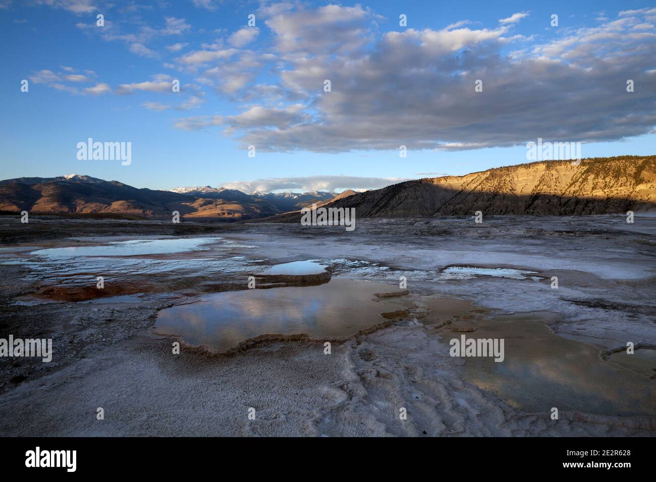 WY02856-00...WYOMING -Upper Terraces Area of Mammoth Hot Springs in Yellowstone National Park. Stockfotohttps://www.alamy.de/image-license-details/?v=1https://www.alamy.de/wy02856-00wyoming-upper-terraces-area-of-mammoth-hot-springs-in-yellowstone-national-park-image397577440.html
RM2E2R628–WY02856-00...WYOMING -Upper Terraces Area of Mammoth Hot Springs in Yellowstone National Park.
 Hverir Hot Spring Bereich, eines der größten Schwefel Frühling in Island. Stockfotohttps://www.alamy.de/image-license-details/?v=1https://www.alamy.de/stockfoto-hverir-hot-spring-bereich-eines-der-grossten-schwefel-fruhling-in-island-114133780.html
RFGHK6PC–Hverir Hot Spring Bereich, eines der größten Schwefel Frühling in Island.
 Geothermische Außenpool und Kraftwerk an der blauen Lagune, Island, Polarregionen Stockfotohttps://www.alamy.de/image-license-details/?v=1https://www.alamy.de/stockfoto-geothermische-aussenpool-und-kraftwerk-an-der-blauen-lagune-island-polarregionen-53326410.html
RMD2N6AJ–Geothermische Außenpool und Kraftwerk an der blauen Lagune, Island, Polarregionen
 Geothermische Gebiet in Lassen Volcanic Nationalpark in Kalifornien Stockfotohttps://www.alamy.de/image-license-details/?v=1https://www.alamy.de/stockfoto-geothermische-gebiet-in-lassen-volcanic-nationalpark-in-kalifornien-121911036.html
RMH29ENG–Geothermische Gebiet in Lassen Volcanic Nationalpark in Kalifornien
 Hellisheidi geothermischen Kraftwerk, Island Stockfotohttps://www.alamy.de/image-license-details/?v=1https://www.alamy.de/stockfoto-hellisheidi-geothermischen-kraftwerk-island-30388539.html
RMBNC8TY–Hellisheidi geothermischen Kraftwerk, Island
 Vulkanische sprudelnden Schlammpfützen Hverir, Myvatn, Nordhurland Eystra, Island. Stockfotohttps://www.alamy.de/image-license-details/?v=1https://www.alamy.de/stockfoto-vulkanische-sprudelnden-schlammpfutzen-hverir-myvatn-nordhurland-eystra-island-88813809.html
RMF4DPWN–Vulkanische sprudelnden Schlammpfützen Hverir, Myvatn, Nordhurland Eystra, Island.
 VULKAN MUTNOVSKY, KAMTSCHATKA, RUSSLAND, 21. September 2011: Blick auf das Gebäude des Geothermischen Kraftwerks Mutnovskaja, Wolken aus Dampf auf dem aktiven Mutnov Stockfotohttps://www.alamy.de/image-license-details/?v=1https://www.alamy.de/vulkan-mutnovsky-kamtschatka-russland-21-september-2011-blick-auf-das-gebaude-des-geothermischen-kraftwerks-mutnovskaja-wolken-aus-dampf-auf-dem-aktiven-mutnov-image628899131.html
RM2YF4R77–VULKAN MUTNOVSKY, KAMTSCHATKA, RUSSLAND, 21. September 2011: Blick auf das Gebäude des Geothermischen Kraftwerks Mutnovskaja, Wolken aus Dampf auf dem aktiven Mutnov
 Die zerklüftete Landschaft Islands, die von der Autobahn auf der Touristenroute Golden Circle aus gesehen wird Stockfotohttps://www.alamy.de/image-license-details/?v=1https://www.alamy.de/die-zerkluftete-landschaft-islands-die-von-der-autobahn-auf-der-touristenroute-golden-circle-aus-gesehen-wird-image630343302.html
RF2YHEH8P–Die zerklüftete Landschaft Islands, die von der Autobahn auf der Touristenroute Golden Circle aus gesehen wird
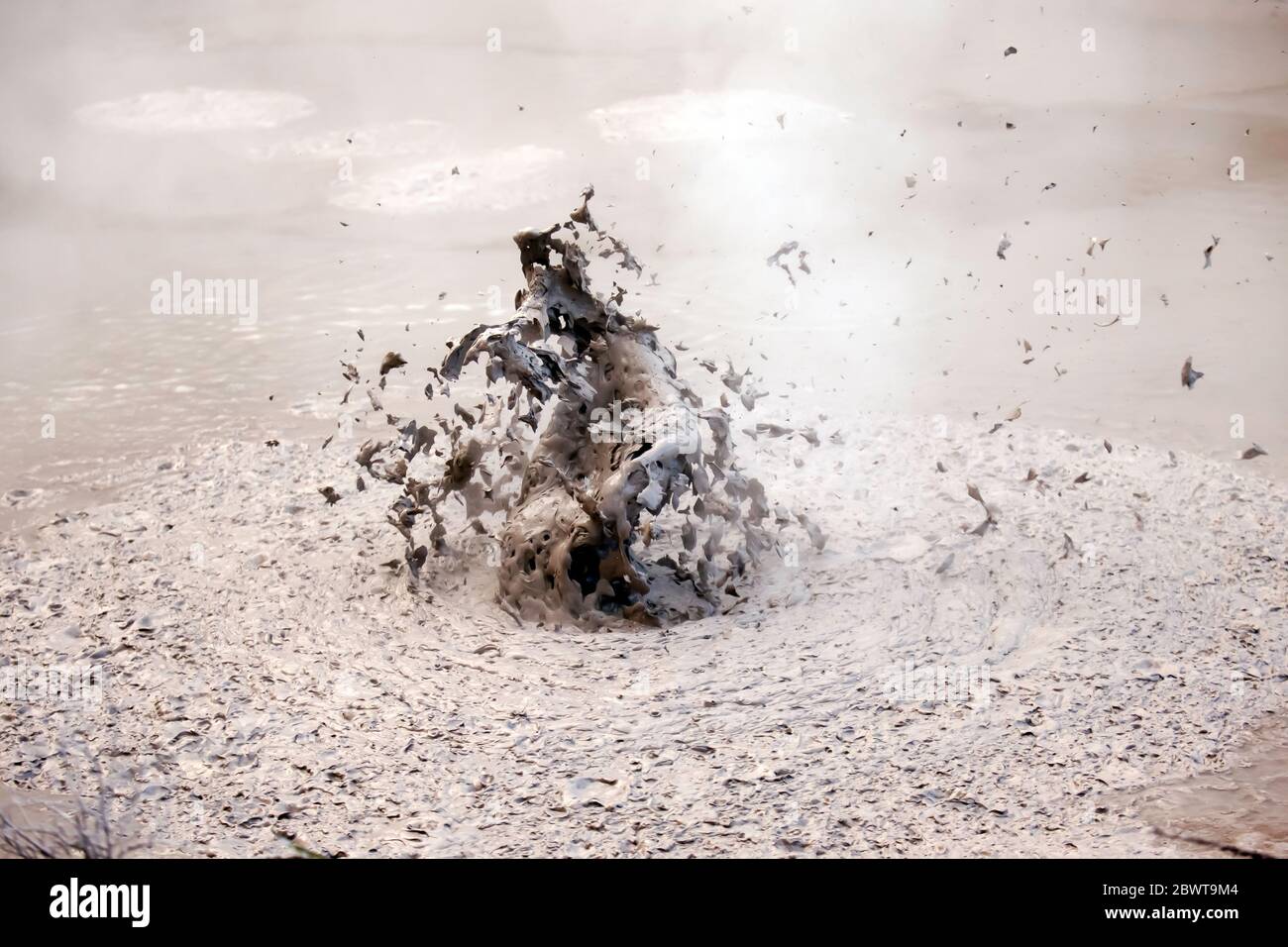 Nahaufnahme eines sprudelnden Schlammpools im aktiven geothermischen Gebiet Waiotapu, Rotorua, Neuseeland Stockfotohttps://www.alamy.de/image-license-details/?v=1https://www.alamy.de/nahaufnahme-eines-sprudelnden-schlammpools-im-aktiven-geothermischen-gebiet-waiotapu-rotorua-neuseeland-image360108228.html
RM2BWT9M4–Nahaufnahme eines sprudelnden Schlammpools im aktiven geothermischen Gebiet Waiotapu, Rotorua, Neuseeland
 Krysuvik geothermisches Gebiet, Südwest-Island. Die wichtigsten geothermischen Gebiete in Krysuvik sind Seltun, Hverahvammur und Hverahlid. Stockfotohttps://www.alamy.de/image-license-details/?v=1https://www.alamy.de/krysuvik-geothermisches-gebiet-sudwest-island-die-wichtigsten-geothermischen-gebiete-in-krysuvik-sind-seltun-hverahvammur-und-hverahlid-image632142401.html
RF2YMCG29–Krysuvik geothermisches Gebiet, Südwest-Island. Die wichtigsten geothermischen Gebiete in Krysuvik sind Seltun, Hverahvammur und Hverahlid.
 Hverir ist eines der aktivsten Geothermiegebiete in ganz Island. Auch bekannt als Hverarönd, zeichnet sich diese Region durch ihre ockerfarbenen Landschaften aus Stockfotohttps://www.alamy.de/image-license-details/?v=1https://www.alamy.de/hverir-ist-eines-der-aktivsten-geothermiegebiete-in-ganz-island-auch-bekannt-als-hverarond-zeichnet-sich-diese-region-durch-ihre-ockerfarbenen-landschaften-aus-image475131392.html
RF2JH02X8–Hverir ist eines der aktivsten Geothermiegebiete in ganz Island. Auch bekannt als Hverarönd, zeichnet sich diese Region durch ihre ockerfarbenen Landschaften aus
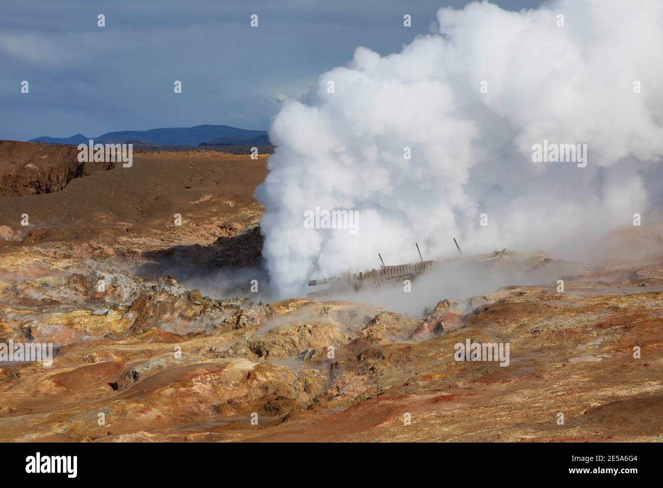 Geothermie Gunnuhver, Island, Reykjanes Peninsula, Grindavik Stockfotohttps://www.alamy.de/image-license-details/?v=1https://www.alamy.de/geothermie-gunnuhver-island-reykjanes-peninsula-grindavik-image399136420.html
RM2E5A6G4–Geothermie Gunnuhver, Island, Reykjanes Peninsula, Grindavik
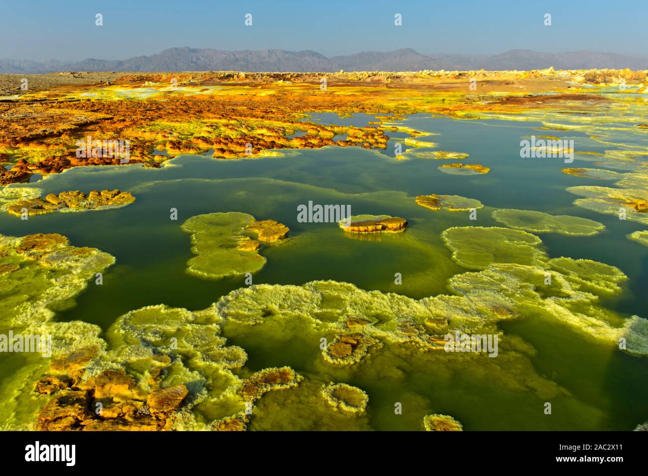 Kristallisiert Sulfide in einem sauren Sole-pool, geothermische Feld von Dallol, Danakil Depression, Afar Dreieck, Äthiopien Stockfotohttps://www.alamy.de/image-license-details/?v=1https://www.alamy.de/kristallisiert-sulfide-in-einem-sauren-sole-pool-geothermische-feld-von-dallol-danakil-depression-afar-dreieck-athiopien-image334437181.html
RM2AC2X11–Kristallisiert Sulfide in einem sauren Sole-pool, geothermische Feld von Dallol, Danakil Depression, Afar Dreieck, Äthiopien
 Holzstege in den geothermischen Gebieten des Yellowstone National Park, Wyoming, USA Stockfotohttps://www.alamy.de/image-license-details/?v=1https://www.alamy.de/holzstege-in-den-geothermischen-gebieten-des-yellowstone-national-park-wyoming-usa-image478708303.html
RF2JPR193–Holzstege in den geothermischen Gebieten des Yellowstone National Park, Wyoming, USA
 geothermische Gebiet Stockfotohttps://www.alamy.de/image-license-details/?v=1https://www.alamy.de/stockfoto-geothermische-gebiet-78889192.html
RMEG9KY4–geothermische Gebiet
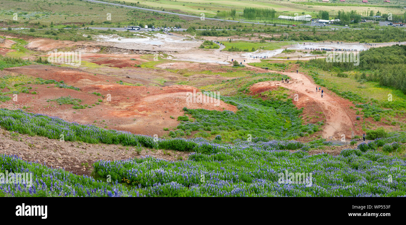 Geysir Geothermie hot spring, Sudhurland, Island Stockfotohttps://www.alamy.de/image-license-details/?v=1https://www.alamy.de/geysir-geothermie-hot-spring-sudhurland-island-image271791731.html
RMWP553F–Geysir Geothermie hot spring, Sudhurland, Island
 Geothermische Frühling Stockfotohttps://www.alamy.de/image-license-details/?v=1https://www.alamy.de/geothermische-fruhling-image67096388.html
RFDW4E3G–Geothermische Frühling
 Stone Bridge Hot Springs natürliches geothermisches Schwimmbad, Shangri-La (Zhongdian), Yunnan, China, Asien Stockfotohttps://www.alamy.de/image-license-details/?v=1https://www.alamy.de/stone-bridge-hot-springs-naturliches-geothermisches-schwimmbad-shangri-la-zhongdian-yunnan-china-asien-image357515952.html
RF2BNJ76T–Stone Bridge Hot Springs natürliches geothermisches Schwimmbad, Shangri-La (Zhongdian), Yunnan, China, Asien
 Panoramablick auf Pseudo-Krater, Vulkane und geothermische Gebiete in der Nähe von Skutustadir und dem See Myvatn in Island Stockfotohttps://www.alamy.de/image-license-details/?v=1https://www.alamy.de/panoramablick-auf-pseudo-krater-vulkane-und-geothermische-gebiete-in-der-nahe-von-skutustadir-und-dem-see-myvatn-in-island-image360322422.html
RF2BX62WX–Panoramablick auf Pseudo-Krater, Vulkane und geothermische Gebiete in der Nähe von Skutustadir und dem See Myvatn in Island
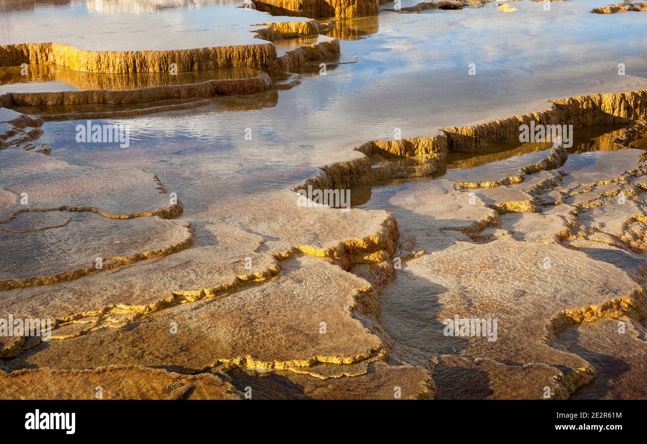 WY02855-00...WYOMING - untere Terrassen Bereich von Mammoth Hot Springs im Yellowstone Nationalpark. Stockfotohttps://www.alamy.de/image-license-details/?v=1https://www.alamy.de/wy02855-00wyoming-untere-terrassen-bereich-von-mammoth-hot-springs-im-yellowstone-nationalpark-image397577424.html
RM2E2R61M–WY02855-00...WYOMING - untere Terrassen Bereich von Mammoth Hot Springs im Yellowstone Nationalpark.
 Dampf steigt aus den kochenden Schlammbecken und der Mondlandschaft des geothermischen Gebiets Seltun im Südosten islands auf Stockfotohttps://www.alamy.de/image-license-details/?v=1https://www.alamy.de/dampf-steigt-aus-den-kochenden-schlammbecken-und-der-mondlandschaft-des-geothermischen-gebiets-seltun-im-sudosten-islands-auf-image436705767.html
RF2GADJJF–Dampf steigt aus den kochenden Schlammbecken und der Mondlandschaft des geothermischen Gebiets Seltun im Südosten islands auf
 Geothermische Außenpool und Kraftwerk an der blauen Lagune, Island, Polarregionen Stockfotohttps://www.alamy.de/image-license-details/?v=1https://www.alamy.de/stockfoto-geothermische-aussenpool-und-kraftwerk-an-der-blauen-lagune-island-polarregionen-53326408.html
RMD2N6AG–Geothermische Außenpool und Kraftwerk an der blauen Lagune, Island, Polarregionen
 Geothermische Gebiet in Lassen Volcanic Nationalpark in Kalifornien Stockfotohttps://www.alamy.de/image-license-details/?v=1https://www.alamy.de/stockfoto-geothermische-gebiet-in-lassen-volcanic-nationalpark-in-kalifornien-121911058.html
RMH29EPA–Geothermische Gebiet in Lassen Volcanic Nationalpark in Kalifornien
 Hellisheidi geothermischen Kraftwerk, Island Stockfotohttps://www.alamy.de/image-license-details/?v=1https://www.alamy.de/stockfoto-hellisheidi-geothermischen-kraftwerk-island-30388543.html
RMBNC8W3–Hellisheidi geothermischen Kraftwerk, Island
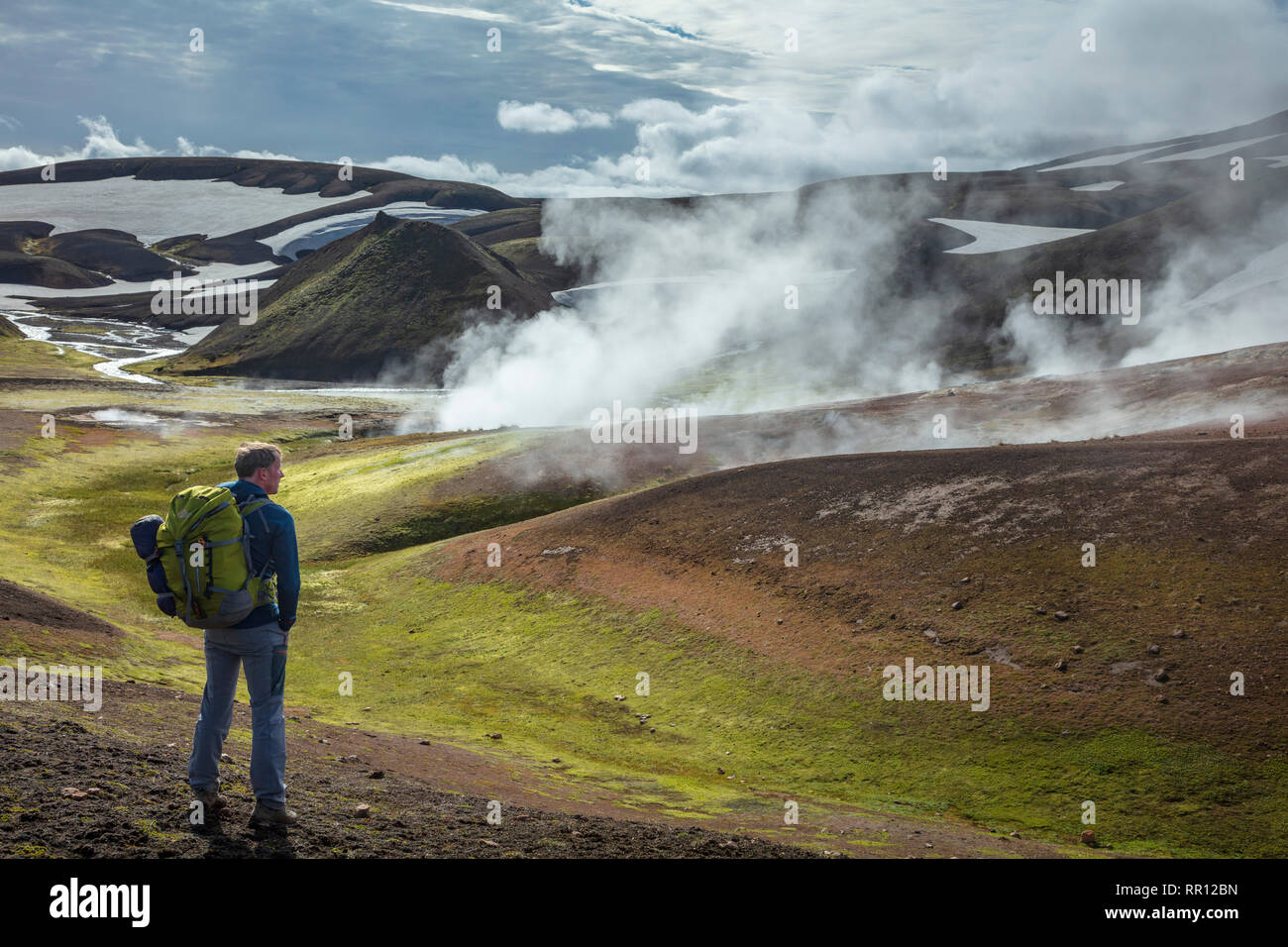 Wanderer auf der Laugavegur Trail in der Nähe von Storihver Hot Springs, zwischen Landmannalaugar und Hrafntinnusker. Zentrale Hochland, Sudhurland, Island. Stockfotohttps://www.alamy.de/image-license-details/?v=1https://www.alamy.de/wanderer-auf-der-laugavegur-trail-in-der-nahe-von-storihver-hot-springs-zwischen-landmannalaugar-und-hrafntinnusker-zentrale-hochland-sudhurland-island-image237895721.html
RMRR12BN–Wanderer auf der Laugavegur Trail in der Nähe von Storihver Hot Springs, zwischen Landmannalaugar und Hrafntinnusker. Zentrale Hochland, Sudhurland, Island.
 Island, Krysuvik-Seltun, geothermisches Gebiet, Europa, Reykjavik, Europa Stockfotohttps://www.alamy.de/image-license-details/?v=1https://www.alamy.de/island-krysuvik-seltun-geothermisches-gebiet-europa-reykjavik-europa-image627272202.html
RM2YCEM2J–Island, Krysuvik-Seltun, geothermisches Gebiet, Europa, Reykjavik, Europa
 Die zerklüftete Landschaft Islands, die von der Autobahn auf der Touristenroute Golden Circle aus gesehen wird Stockfotohttps://www.alamy.de/image-license-details/?v=1https://www.alamy.de/die-zerkluftete-landschaft-islands-die-von-der-autobahn-auf-der-touristenroute-golden-circle-aus-gesehen-wird-image630343305.html
RF2YHEH8W–Die zerklüftete Landschaft Islands, die von der Autobahn auf der Touristenroute Golden Circle aus gesehen wird
 Nahaufnahme einer blubbernden Schlammlöcher, in der waiotapu Aktive GEOTHERMALE Region, Rotorua, Neuseeland Stockfotohttps://www.alamy.de/image-license-details/?v=1https://www.alamy.de/stockfoto-nahaufnahme-einer-blubbernden-schlammlocher-in-der-waiotapu-aktive-geothermale-region-rotorua-neuseeland-163526610.html
RMKE17T2–Nahaufnahme einer blubbernden Schlammlöcher, in der waiotapu Aktive GEOTHERMALE Region, Rotorua, Neuseeland
 Geothermie-Bereich Stockfotohttps://www.alamy.de/image-license-details/?v=1https://www.alamy.de/stockfoto-geothermie-bereich-27646408.html
RFBGYB7M–Geothermie-Bereich
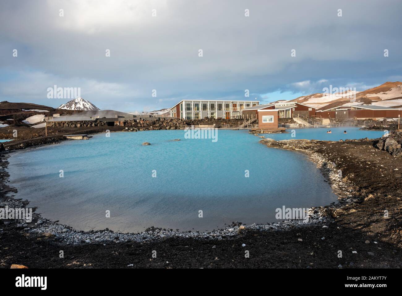 Jarðboeðin geothermischen Pool, Myvatn Nature Baths, blaue Lagune des Nordens Stockfotohttps://www.alamy.de/image-license-details/?v=1https://www.alamy.de/jarboein-geothermischen-pool-myvatn-nature-baths-blaue-lagune-des-nordens-image339287199.html
RM2AKYT7Y–Jarðboeðin geothermischen Pool, Myvatn Nature Baths, blaue Lagune des Nordens
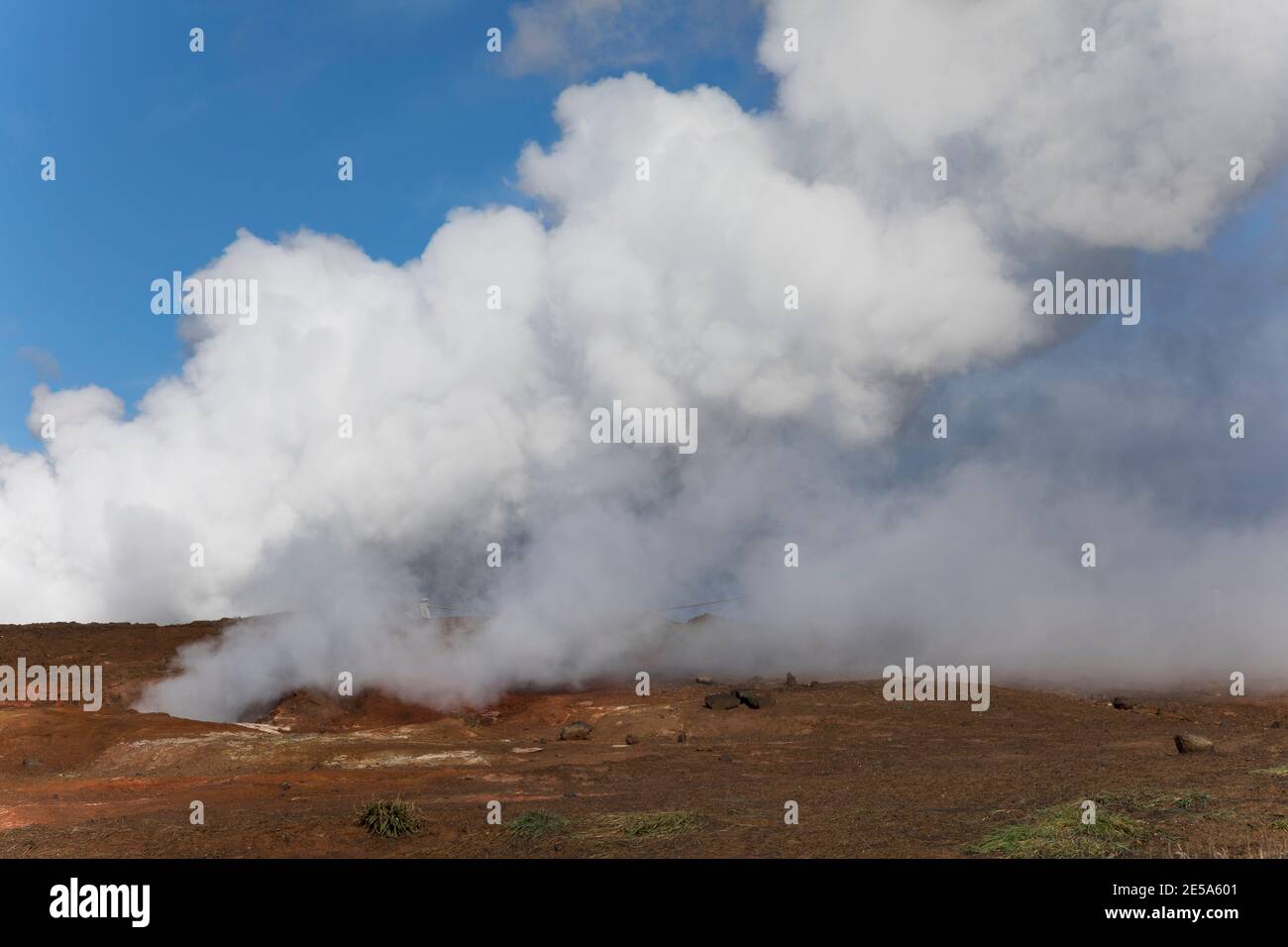 Geothermie Gunnuhver, Island, Reykjanes Peninsula, Grindavik Stockfotohttps://www.alamy.de/image-license-details/?v=1https://www.alamy.de/geothermie-gunnuhver-island-reykjanes-peninsula-grindavik-image399135969.html
RM2E5A601–Geothermie Gunnuhver, Island, Reykjanes Peninsula, Grindavik
 Moderne Asphaltstraße, die durch die Danakil-Depression nach Hamedale im Dallol Geothermal Area, Afar-Region, Äthiopien führt Stockfotohttps://www.alamy.de/image-license-details/?v=1https://www.alamy.de/moderne-asphaltstrasse-die-durch-die-danakil-depression-nach-hamedale-im-dallol-geothermal-area-afar-region-athiopien-fuhrt-image350576348.html
RF2BAA3KT–Moderne Asphaltstraße, die durch die Danakil-Depression nach Hamedale im Dallol Geothermal Area, Afar-Region, Äthiopien führt
 Holzstege in den geothermischen Gebieten des Yellowstone National Park, Wyoming, USA Stockfotohttps://www.alamy.de/image-license-details/?v=1https://www.alamy.de/holzstege-in-den-geothermischen-gebieten-des-yellowstone-national-park-wyoming-usa-image544202372.html
RF2PHAFK0–Holzstege in den geothermischen Gebieten des Yellowstone National Park, Wyoming, USA
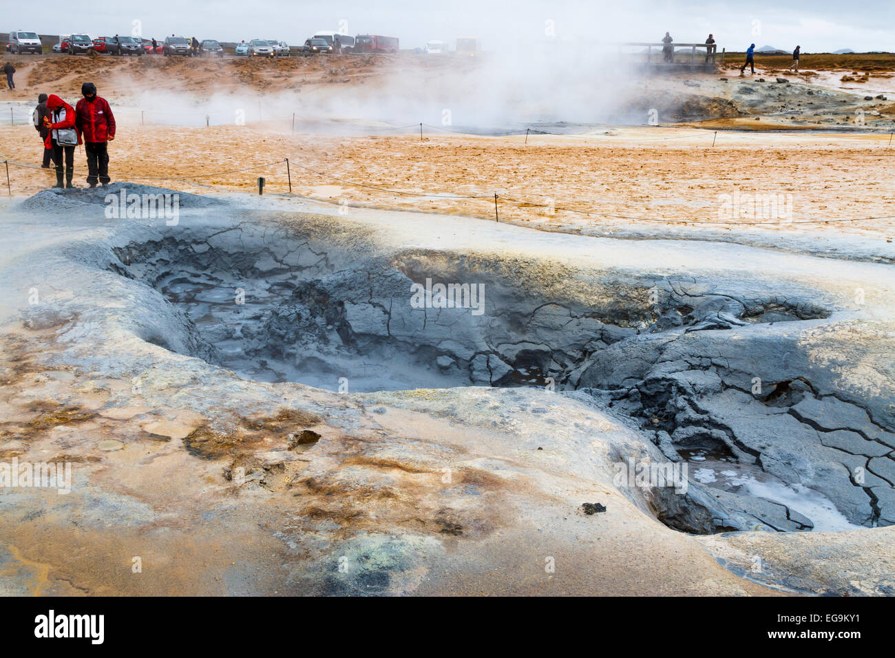 geothermische Gebiet Stockfotohttps://www.alamy.de/image-license-details/?v=1https://www.alamy.de/stockfoto-geothermische-gebiet-78889189.html
RMEG9KY1–geothermische Gebiet
 Geysir Geothermie hot spring, Sudhurland, Island Stockfotohttps://www.alamy.de/image-license-details/?v=1https://www.alamy.de/geysir-geothermie-hot-spring-sudhurland-island-image271791483.html
RMWP54PK–Geysir Geothermie hot spring, Sudhurland, Island
 Geothermisches Gebiet des Waimangu Volcanic Valley, Rotorua, Neuseeland Stockfotohttps://www.alamy.de/image-license-details/?v=1https://www.alamy.de/geothermisches-gebiet-des-waimangu-volcanic-valley-rotorua-neuseeland-image459630084.html
RF2HKNXT4–Geothermisches Gebiet des Waimangu Volcanic Valley, Rotorua, Neuseeland
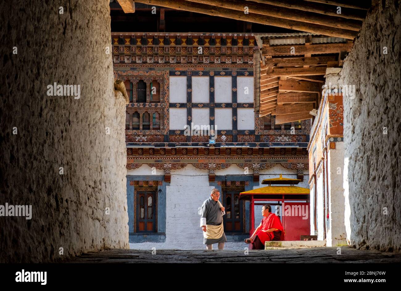 Stone Bridge Hot Springs natürliches geothermisches Schwimmbad, Shangri-La (Zhongdian), Yunnan, China, Asien Stockfotohttps://www.alamy.de/image-license-details/?v=1https://www.alamy.de/stone-bridge-hot-springs-naturliches-geothermisches-schwimmbad-shangri-la-zhongdian-yunnan-china-asien-image357515953.html
RF2BNJ76W–Stone Bridge Hot Springs natürliches geothermisches Schwimmbad, Shangri-La (Zhongdian), Yunnan, China, Asien
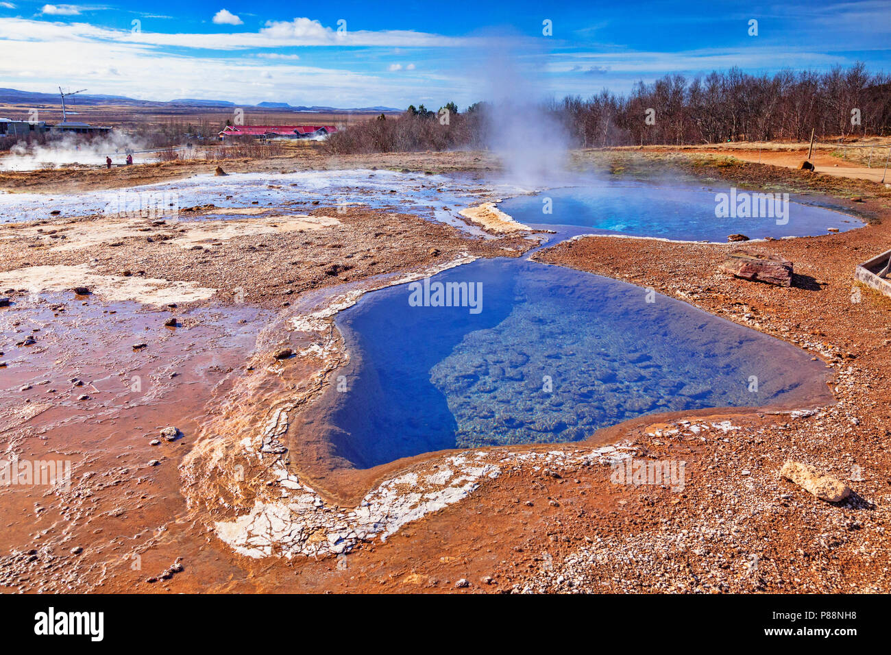 20. April 2018: Geysir, Island - Heiße Quellen dampfende an einem schönen Frühlingstag. Stockfotohttps://www.alamy.de/image-license-details/?v=1https://www.alamy.de/20-april-2018-geysir-island-heisse-quellen-dampfende-an-einem-schonen-fruhlingstag-image211634228.html
RFP88NH8–20. April 2018: Geysir, Island - Heiße Quellen dampfende an einem schönen Frühlingstag.
 WY03554-00...WYOMING - abstrakte Bäume im Yellowstone Nationalpark. Stockfotohttps://www.alamy.de/image-license-details/?v=1https://www.alamy.de/wy03554-00wyoming-abstrakte-baume-im-yellowstone-nationalpark-image397577547.html
RM2E2R663–WY03554-00...WYOMING - abstrakte Bäume im Yellowstone Nationalpark.
 Warme und kalte Bereiche in der geothermischen Region Kerlingarfjoell, Hochland von Island Stockfotohttps://www.alamy.de/image-license-details/?v=1https://www.alamy.de/warme-und-kalte-bereiche-in-der-geothermischen-region-kerlingarfjoell-hochland-von-island-image259268412.html
RMW1PKE4–Warme und kalte Bereiche in der geothermischen Region Kerlingarfjoell, Hochland von Island
 Downy Woodpecker im Winter im Yellowstone-Nationalpark. Stockfotohttps://www.alamy.de/image-license-details/?v=1https://www.alamy.de/downy-woodpecker-im-winter-im-yellowstone-nationalpark-image558858979.html
RM2RD6697–Downy Woodpecker im Winter im Yellowstone-Nationalpark.
 Promenade mit Blick auf geothermische Gebiet in Lassen Volcanic Nationalpark in Kalifornien Stockfotohttps://www.alamy.de/image-license-details/?v=1https://www.alamy.de/stockfoto-promenade-mit-blick-auf-geothermische-gebiet-in-lassen-volcanic-nationalpark-in-kalifornien-121911022.html
RMH29EN2–Promenade mit Blick auf geothermische Gebiet in Lassen Volcanic Nationalpark in Kalifornien
 Geothermalen Gebieten, Hrafntinnusker, Hochland Island Stockfotohttps://www.alamy.de/image-license-details/?v=1https://www.alamy.de/stockfoto-geothermalen-gebieten-hrafntinnusker-hochland-island-90092441.html
RMF6G1R5–Geothermalen Gebieten, Hrafntinnusker, Hochland Island
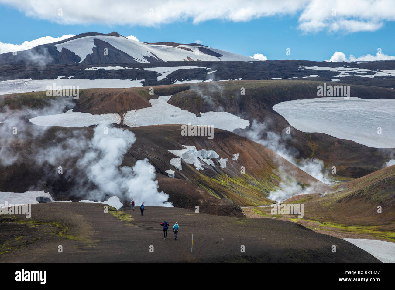 Wanderer auf dem Laugavegur Trail in der Nähe von Storihver Hot Springs, zwischen Landmannalaugar und Hrafntinnusker. Zentrale Hochland, Sudhurland, Island. Stockfotohttps://www.alamy.de/image-license-details/?v=1https://www.alamy.de/wanderer-auf-dem-laugavegur-trail-in-der-nahe-von-storihver-hot-springs-zwischen-landmannalaugar-und-hrafntinnusker-zentrale-hochland-sudhurland-island-image237896239.html
RMRR1327–Wanderer auf dem Laugavegur Trail in der Nähe von Storihver Hot Springs, zwischen Landmannalaugar und Hrafntinnusker. Zentrale Hochland, Sudhurland, Island.
 Heiße Quellen und geothermische Gegend vor einer Berglandschaft im Winter, bewölkte Stimmung, Hverir, Namafjall, Myvatn, Island, Europa Stockfotohttps://www.alamy.de/image-license-details/?v=1https://www.alamy.de/heisse-quellen-und-geothermische-gegend-vor-einer-berglandschaft-im-winter-bewolkte-stimmung-hverir-namafjall-myvatn-island-europa-image620425798.html
RF2Y1ARC6–Heiße Quellen und geothermische Gegend vor einer Berglandschaft im Winter, bewölkte Stimmung, Hverir, Namafjall, Myvatn, Island, Europa
 Die zerklüftete Landschaft Islands, die von der Autobahn auf der Touristenroute Golden Circle aus gesehen wird Stockfotohttps://www.alamy.de/image-license-details/?v=1https://www.alamy.de/die-zerkluftete-landschaft-islands-die-von-der-autobahn-auf-der-touristenroute-golden-circle-aus-gesehen-wird-image630343306.html
RF2YHEH8X–Die zerklüftete Landschaft Islands, die von der Autobahn auf der Touristenroute Golden Circle aus gesehen wird
 Nahaufnahme einer blubbernden Schlammlöcher, in der waiotapu Aktive GEOTHERMALE Region, Rotorua, Neuseeland Stockfotohttps://www.alamy.de/image-license-details/?v=1https://www.alamy.de/stockfoto-nahaufnahme-einer-blubbernden-schlammlocher-in-der-waiotapu-aktive-geothermale-region-rotorua-neuseeland-163602006.html
RMKE4M0P–Nahaufnahme einer blubbernden Schlammlöcher, in der waiotapu Aktive GEOTHERMALE Region, Rotorua, Neuseeland
 Geothermie-Bereich Stockfotohttps://www.alamy.de/image-license-details/?v=1https://www.alamy.de/stockfoto-geothermie-bereich-27631219.html
RFBGXKW7–Geothermie-Bereich
 WY 03815-00 ... WYOMING - Wanderer in einem der thermischen Bereichen entlang der Spur zu Herzen See und die Herzen See Geyser Basin im Yellowstone National Park. Stockfotohttps://www.alamy.de/image-license-details/?v=1https://www.alamy.de/wy-03815-00-wyoming-wanderer-in-einem-der-thermischen-bereichen-entlang-der-spur-zu-herzen-see-und-die-herzen-see-geyser-basin-im-yellowstone-national-park-image237253705.html
RMRNYREH–WY 03815-00 ... WYOMING - Wanderer in einem der thermischen Bereichen entlang der Spur zu Herzen See und die Herzen See Geyser Basin im Yellowstone National Park.
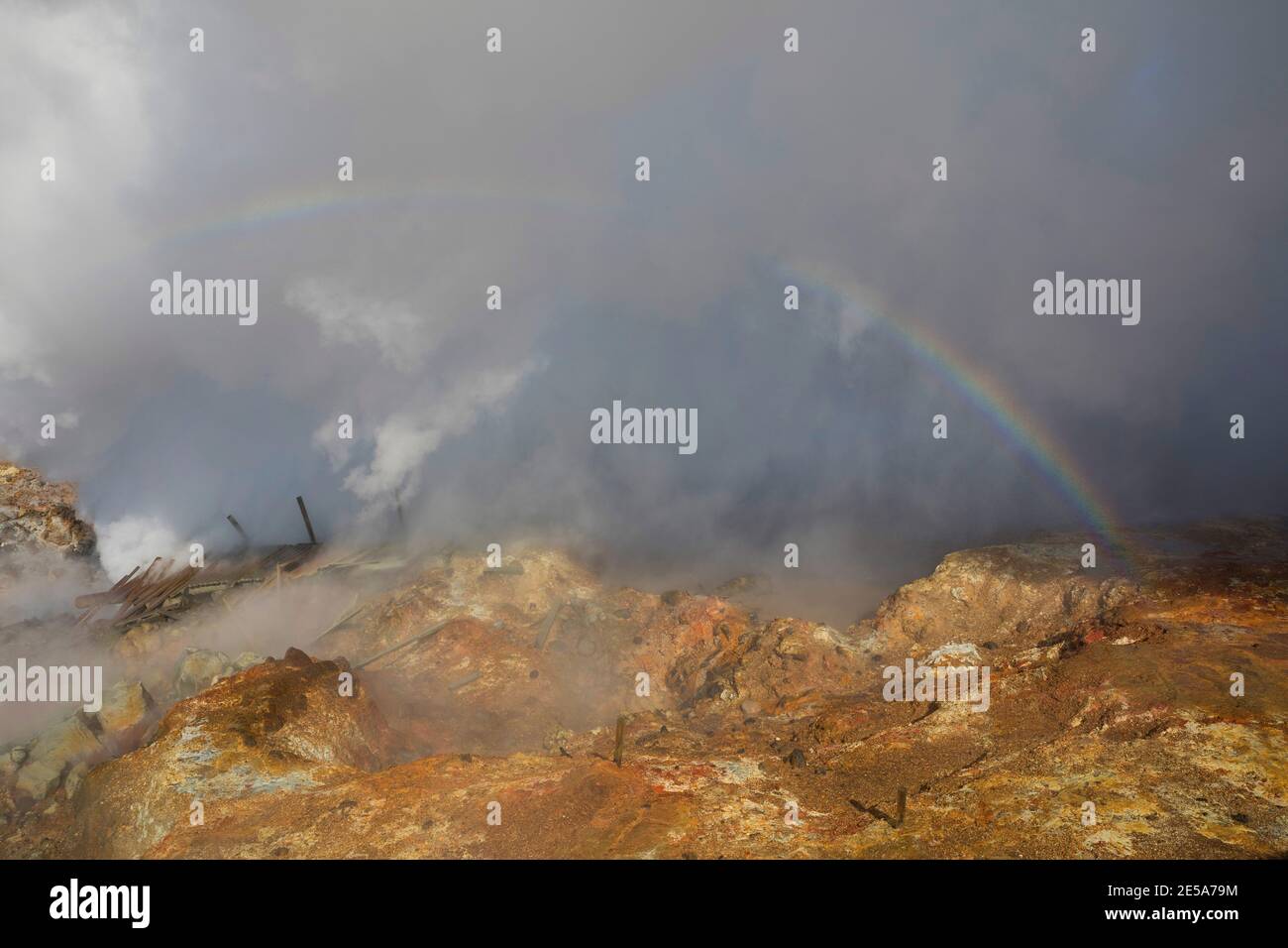 Geothermie Gunnuhver, Island, Reykjanes Peninsula, Grindavik Stockfotohttps://www.alamy.de/image-license-details/?v=1https://www.alamy.de/geothermie-gunnuhver-island-reykjanes-peninsula-grindavik-image399137024.html
RM2E5A79M–Geothermie Gunnuhver, Island, Reykjanes Peninsula, Grindavik
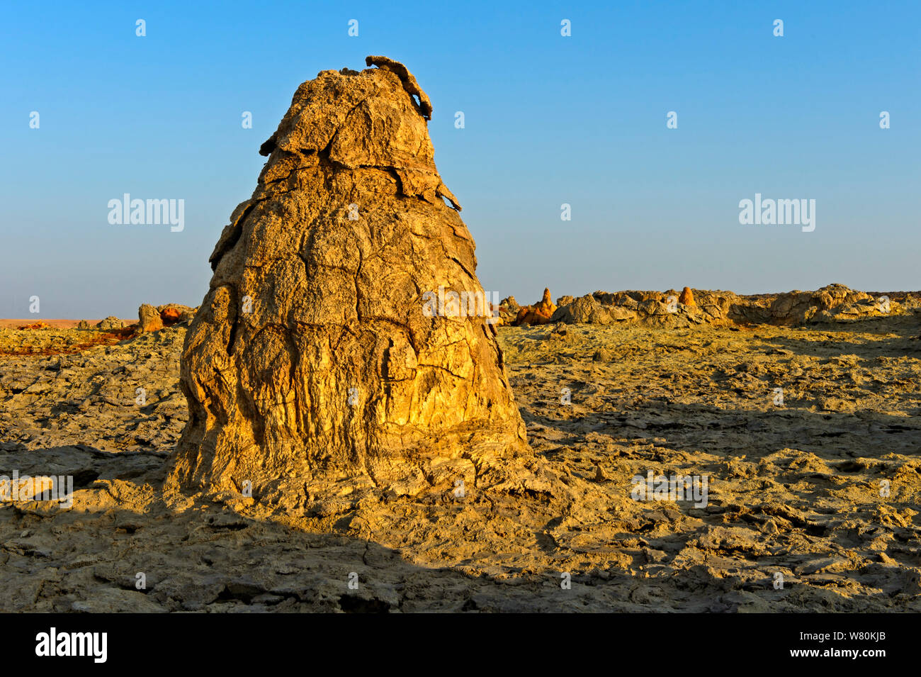 Reliquie geothermie Mounds, geothermische Feld von Dallol, Danakil Depression, Afar Dreieck, Äthiopien Stockfotohttps://www.alamy.de/image-license-details/?v=1https://www.alamy.de/reliquie-geothermie-mounds-geothermische-feld-von-dallol-danakil-depression-afar-dreieck-athiopien-image263088179.html
RMW80KJB–Reliquie geothermie Mounds, geothermische Feld von Dallol, Danakil Depression, Afar Dreieck, Äthiopien
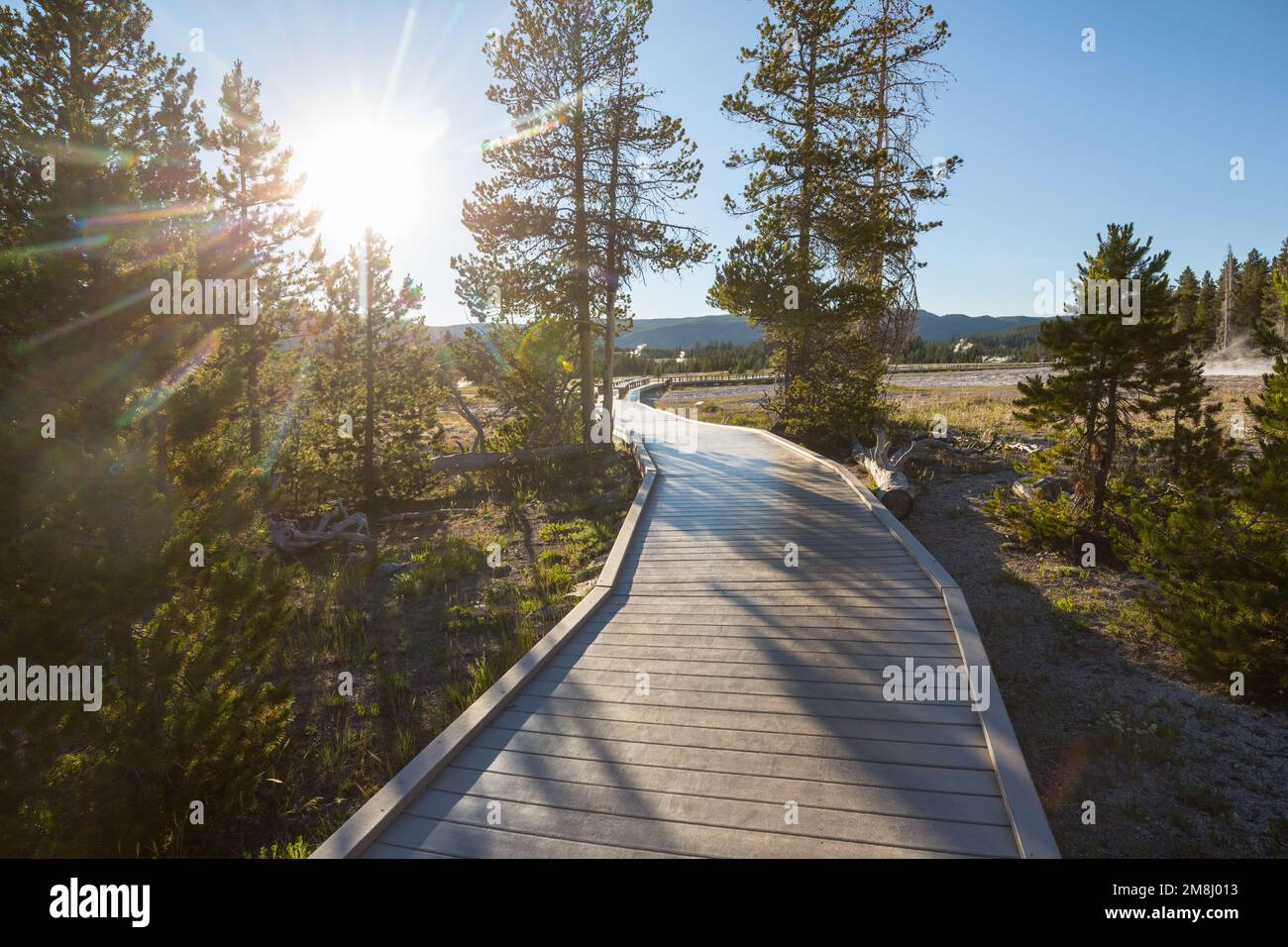 Holzstege in den geothermischen Gebieten des Yellowstone National Park, Wyoming, USA Stockfotohttps://www.alamy.de/image-license-details/?v=1https://www.alamy.de/holzstege-in-den-geothermischen-gebieten-des-yellowstone-national-park-wyoming-usa-image504413087.html
RF2M8J013–Holzstege in den geothermischen Gebieten des Yellowstone National Park, Wyoming, USA
 Geothermische See und Vulkankrater. Stockfotohttps://www.alamy.de/image-license-details/?v=1https://www.alamy.de/stockfoto-geothermische-see-und-vulkankrater-78889032.html
RMEG9KNC–Geothermische See und Vulkankrater.
 Malerische Aussicht mit geothermischem Dampf, der aus der Landschaft steigt, mit Details von grasbewachsenen und felsigen Gebieten und entfernten Bergen unter einem teilweise bewölkten SK Stockfotohttps://www.alamy.de/image-license-details/?v=1https://www.alamy.de/malerische-aussicht-mit-geothermischem-dampf-der-aus-der-landschaft-steigt-mit-details-von-grasbewachsenen-und-felsigen-gebieten-und-entfernten-bergen-unter-einem-teilweise-bewolkten-sk-image618780920.html
RF2XXKWAG–Malerische Aussicht mit geothermischem Dampf, der aus der Landschaft steigt, mit Details von grasbewachsenen und felsigen Gebieten und entfernten Bergen unter einem teilweise bewölkten SK
 Schlammgeysir oder Schlammvulkan. Geologische Bildung hydrogeologisch Stockfotohttps://www.alamy.de/image-license-details/?v=1https://www.alamy.de/schlammgeysir-oder-schlammvulkan-geologische-bildung-hydrogeologisch-image402379309.html
RF2EAHXWH–Schlammgeysir oder Schlammvulkan. Geologische Bildung hydrogeologisch
 Gehweg, Upper Geyser Basin, Yellowstone Nationalpark, UNESCO-Weltkulturerbe, Wyoming, Vereinigte Staaten von Amerika (USA), Nordamerika Stockfotohttps://www.alamy.de/image-license-details/?v=1https://www.alamy.de/gehweg-upper-geyser-basin-yellowstone-nationalpark-unesco-weltkulturerbe-wyoming-vereinigte-staaten-von-amerika-usa-nordamerika-image264110715.html
RMW9K7WF–Gehweg, Upper Geyser Basin, Yellowstone Nationalpark, UNESCO-Weltkulturerbe, Wyoming, Vereinigte Staaten von Amerika (USA), Nordamerika
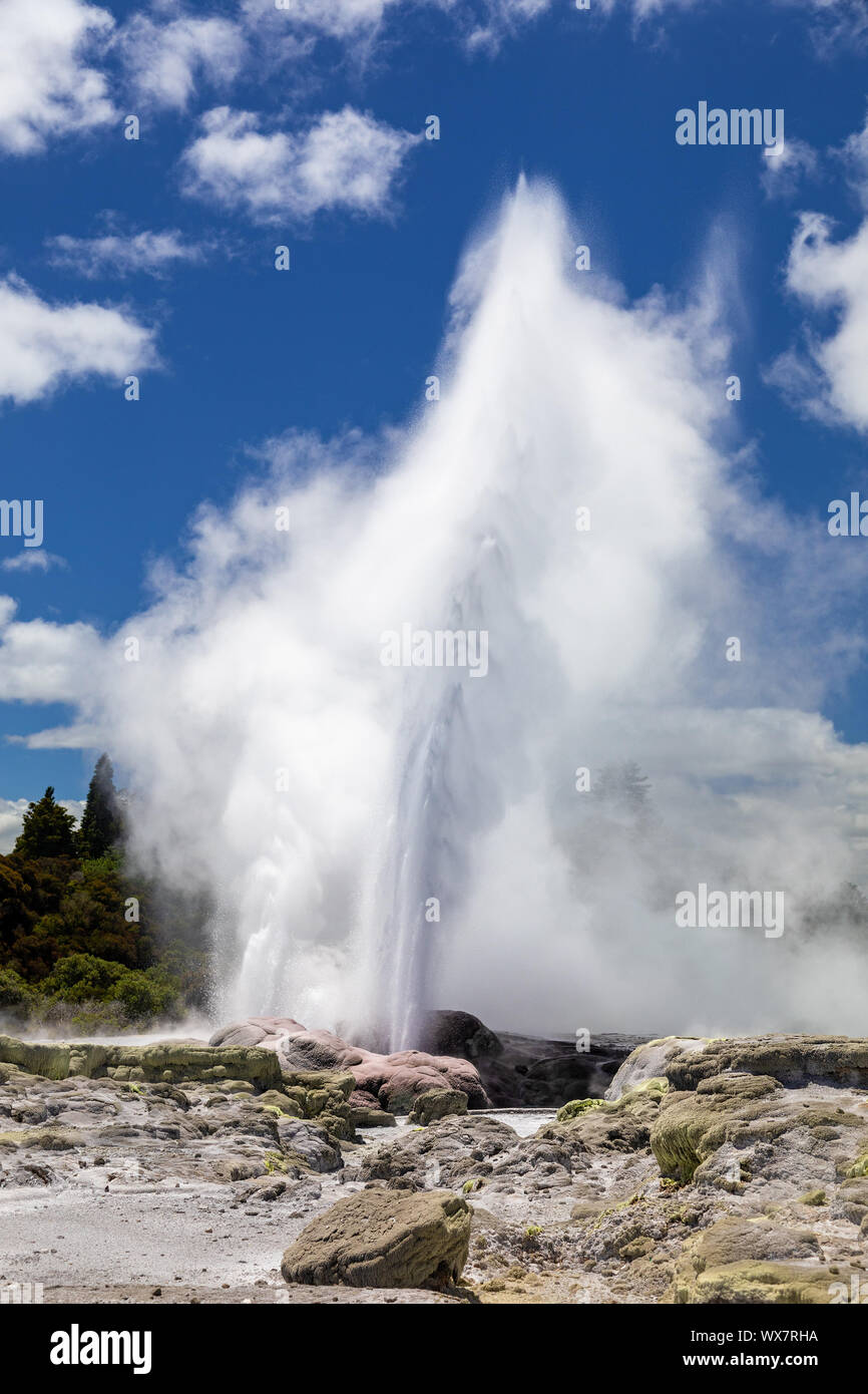 Geysir in Neuseeland Rotorua Stockfotohttps://www.alamy.de/image-license-details/?v=1https://www.alamy.de/geysir-in-neuseeland-rotorua-image274308758.html
RMWX7RHA–Geysir in Neuseeland Rotorua
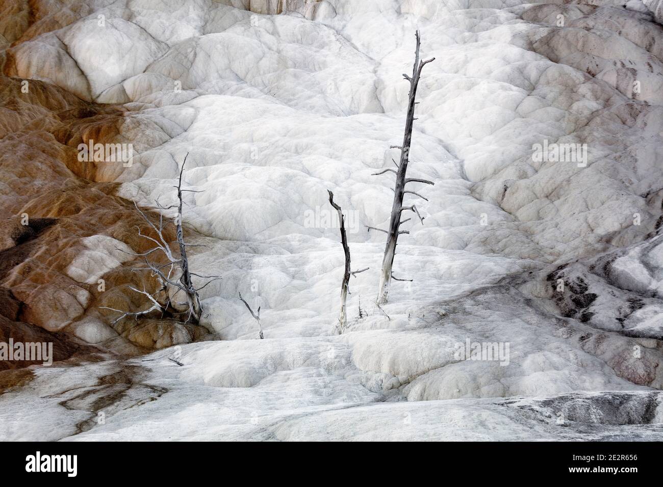 WY 03552-00 ... WASHINGTON - Baum bei Mammoth Hot Springs im Yellowstone National Park. Stockfotohttps://www.alamy.de/image-license-details/?v=1https://www.alamy.de/wy-03552-00-washington-baum-bei-mammoth-hot-springs-im-yellowstone-national-park-image397577522.html
RM2E2R656–WY 03552-00 ... WASHINGTON - Baum bei Mammoth Hot Springs im Yellowstone National Park.
 Travertin-Formationen am Hügel Terrasse, Yellowstone-Nationalpark, Wyoming, USA Stockfotohttps://www.alamy.de/image-license-details/?v=1https://www.alamy.de/stockfoto-travertin-formationen-am-hugel-terrasse-yellowstone-nationalpark-wyoming-usa-26967792.html
RMBFTDKC–Travertin-Formationen am Hügel Terrasse, Yellowstone-Nationalpark, Wyoming, USA
 Orakei Korako boardwalk Stockfotohttps://www.alamy.de/image-license-details/?v=1https://www.alamy.de/orakei-korako-boardwalk-image246849673.html
RFT9GY7N–Orakei Korako boardwalk
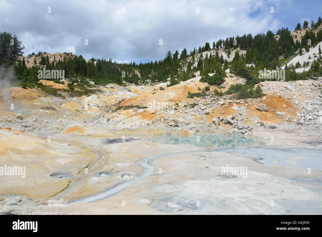 Geothermische Gebiet im Lassen Volcanic National Park in Kalifornien, USA Stockfotohttps://www.alamy.de/image-license-details/?v=1https://www.alamy.de/stockfoto-geothermische-gebiet-im-lassen-volcanic-national-park-in-kalifornien-usa-122104229.html
RMH2J959–Geothermische Gebiet im Lassen Volcanic National Park in Kalifornien, USA
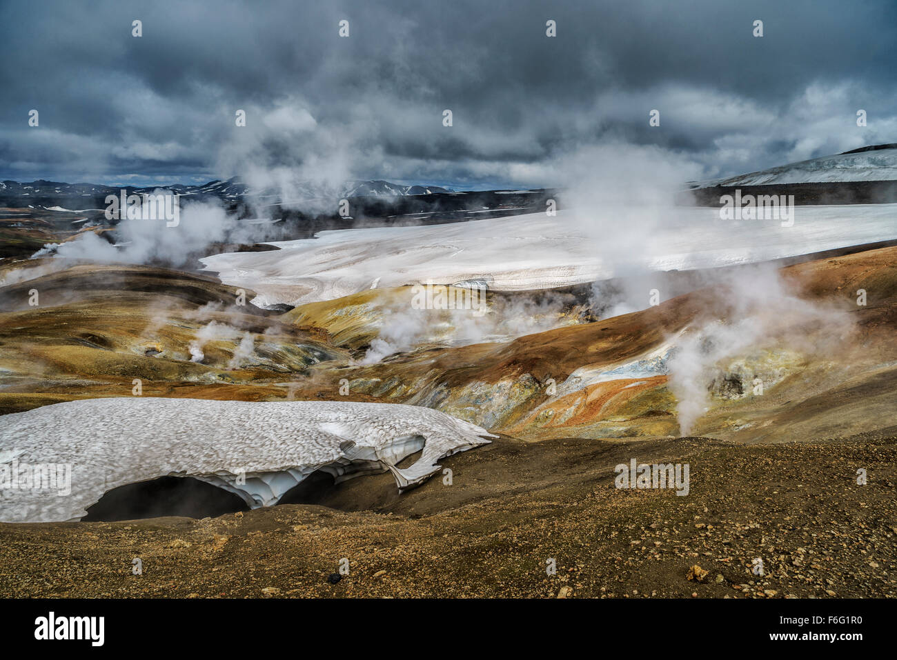 Geothermalen Gebieten, Hrafntinnusker, Hochland Island Stockfotohttps://www.alamy.de/image-license-details/?v=1https://www.alamy.de/stockfoto-geothermalen-gebieten-hrafntinnusker-hochland-island-90092436.html
RMF6G1R0–Geothermalen Gebieten, Hrafntinnusker, Hochland Island
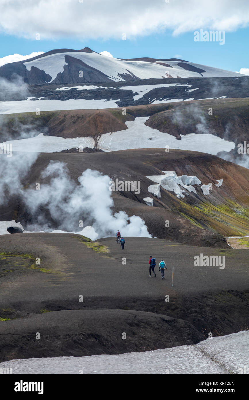 Wanderer auf dem Laugavegur Trail in der Nähe von Storihver Hot Springs, zwischen Landmannalaugar und Hrafntinnusker. Zentrale Hochland, Sudhurland, Island. Stockfotohttps://www.alamy.de/image-license-details/?v=1https://www.alamy.de/wanderer-auf-dem-laugavegur-trail-in-der-nahe-von-storihver-hot-springs-zwischen-landmannalaugar-und-hrafntinnusker-zentrale-hochland-sudhurland-island-image237895805.html
RMRR12EN–Wanderer auf dem Laugavegur Trail in der Nähe von Storihver Hot Springs, zwischen Landmannalaugar und Hrafntinnusker. Zentrale Hochland, Sudhurland, Island.
 Geothermisches Kraftwerk Dampfrohr, das unter grauem Himmel zum Metallgebäude führt. Technische, moderne Atmosphäre, Reykjanes Kraftwerk, Rekjanes Halbinsel Stockfotohttps://www.alamy.de/image-license-details/?v=1https://www.alamy.de/geothermisches-kraftwerk-dampfrohr-das-unter-grauem-himmel-zum-metallgebaude-fuhrt-technische-moderne-atmosphare-reykjanes-kraftwerk-rekjanes-halbinsel-image624693657.html
RF2Y8973N–Geothermisches Kraftwerk Dampfrohr, das unter grauem Himmel zum Metallgebäude führt. Technische, moderne Atmosphäre, Reykjanes Kraftwerk, Rekjanes Halbinsel
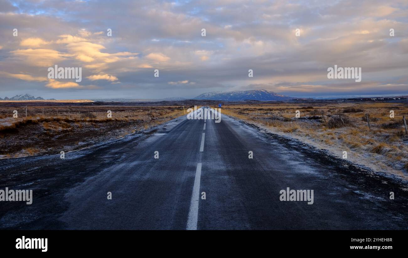 Die zerklüftete Landschaft Islands, die von der Autobahn auf der Touristenroute Golden Circle aus gesehen wird Stockfotohttps://www.alamy.de/image-license-details/?v=1https://www.alamy.de/die-zerkluftete-landschaft-islands-die-von-der-autobahn-auf-der-touristenroute-golden-circle-aus-gesehen-wird-image630343303.html
RF2YHEH8R–Die zerklüftete Landschaft Islands, die von der Autobahn auf der Touristenroute Golden Circle aus gesehen wird
 Nahaufnahme einer blubbernden Schlammlöcher, in der waiotapu Aktive GEOTHERMALE Region, Rotorua, Neuseeland Stockfotohttps://www.alamy.de/image-license-details/?v=1https://www.alamy.de/stockfoto-nahaufnahme-einer-blubbernden-schlammlocher-in-der-waiotapu-aktive-geothermale-region-rotorua-neuseeland-163526607.html
RMKE17RY–Nahaufnahme einer blubbernden Schlammlöcher, in der waiotapu Aktive GEOTHERMALE Region, Rotorua, Neuseeland
 Geothermie-Bereich Stockfotohttps://www.alamy.de/image-license-details/?v=1https://www.alamy.de/stockfoto-geothermie-bereich-27646527.html
RFBGYBBY–Geothermie-Bereich
 Das letzte Schild für eine große Eruption am Steamboat Geysir im Norris Geysir Basin, Yellowstone National Park, Wyoming, USA Stockfotohttps://www.alamy.de/image-license-details/?v=1https://www.alamy.de/das-letzte-schild-fur-eine-grosse-eruption-am-steamboat-geysir-im-norris-geysir-basin-yellowstone-national-park-wyoming-usa-image610803229.html
RM2XDMDN1–Das letzte Schild für eine große Eruption am Steamboat Geysir im Norris Geysir Basin, Yellowstone National Park, Wyoming, USA
 Geothermie Gunnuhver, Island, Reykjanes Peninsula, Grindavik Stockfotohttps://www.alamy.de/image-license-details/?v=1https://www.alamy.de/geothermie-gunnuhver-island-reykjanes-peninsula-grindavik-image399137023.html
RM2E5A79K–Geothermie Gunnuhver, Island, Reykjanes Peninsula, Grindavik
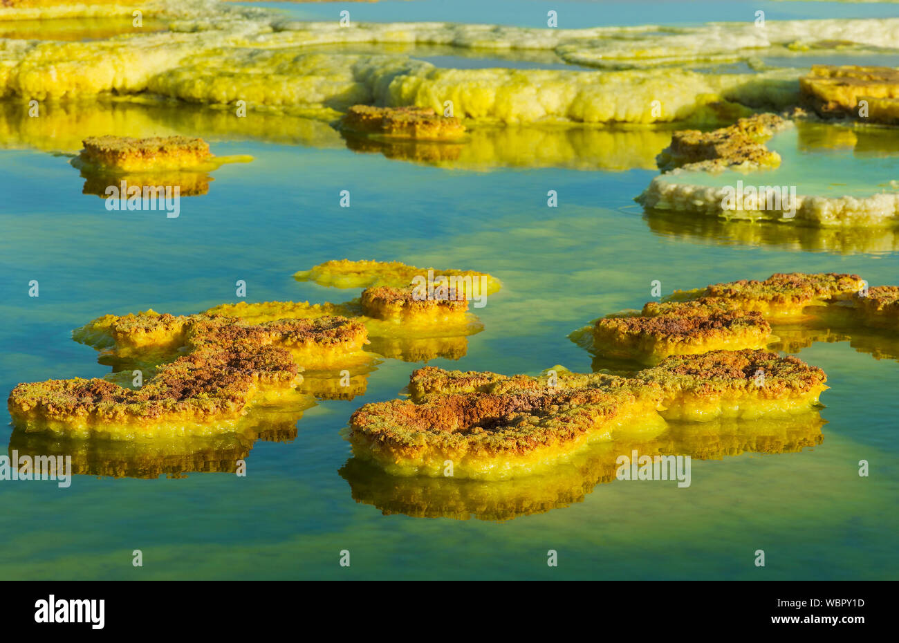 Schwefelablagerungen im sauren Sole-pool, geothermische Feld von Dallol, Danakil Depression, Afar Dreieck, Äthiopien Stockfotohttps://www.alamy.de/image-license-details/?v=1https://www.alamy.de/schwefelablagerungen-im-sauren-sole-pool-geothermische-feld-von-dallol-danakil-depression-afar-dreieck-athiopien-image265420889.html
RMWBPY1D–Schwefelablagerungen im sauren Sole-pool, geothermische Feld von Dallol, Danakil Depression, Afar Dreieck, Äthiopien
 Holzstege in den geothermischen Gebieten des Yellowstone National Park, Wyoming, USA Stockfotohttps://www.alamy.de/image-license-details/?v=1https://www.alamy.de/holzstege-in-den-geothermischen-gebieten-des-yellowstone-national-park-wyoming-usa-image478708304.html
RF2JPR194–Holzstege in den geothermischen Gebieten des Yellowstone National Park, Wyoming, USA
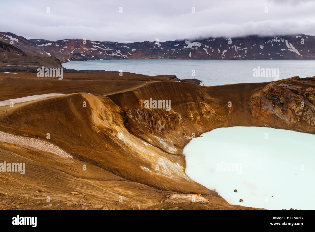 Geothermische See und Vulkankrater. Stockfotohttps://www.alamy.de/image-license-details/?v=1https://www.alamy.de/stockfoto-geothermische-see-und-vulkankrater-78889023.html
RMEG9KN3–Geothermische See und Vulkankrater.
 Travertin Terrasse, unteren Terrassen, Mammoth Hot Springs, Yellowstone-Nationalpark, Wyoming, USA Stockfotohttps://www.alamy.de/image-license-details/?v=1https://www.alamy.de/stockfoto-travertin-terrasse-unteren-terrassen-mammoth-hot-springs-yellowstone-nationalpark-wyoming-usa-148603192.html
RFJHNCTT–Travertin Terrasse, unteren Terrassen, Mammoth Hot Springs, Yellowstone-Nationalpark, Wyoming, USA
 Geysir Geothermie hot spring, Sudhurland, Island Stockfotohttps://www.alamy.de/image-license-details/?v=1https://www.alamy.de/geysir-geothermie-hot-spring-sudhurland-island-image271775567.html
RMWP4CE7–Geysir Geothermie hot spring, Sudhurland, Island
 Dampfsäulen erheben sich im fruchtbaren Tal des reykjadalura über der Stadt hverigardi Stockfotohttps://www.alamy.de/image-license-details/?v=1https://www.alamy.de/dampfsaulen-erheben-sich-im-fruchtbaren-tal-des-reykjadalura-uber-der-stadt-hverigardi-image436705934.html
RF2GADJTE–Dampfsäulen erheben sich im fruchtbaren Tal des reykjadalura über der Stadt hverigardi
 Geysir in Neuseeland Rotorua Stockfotohttps://www.alamy.de/image-license-details/?v=1https://www.alamy.de/geysir-in-neuseeland-rotorua-image274308774.html
RMWX7RHX–Geysir in Neuseeland Rotorua
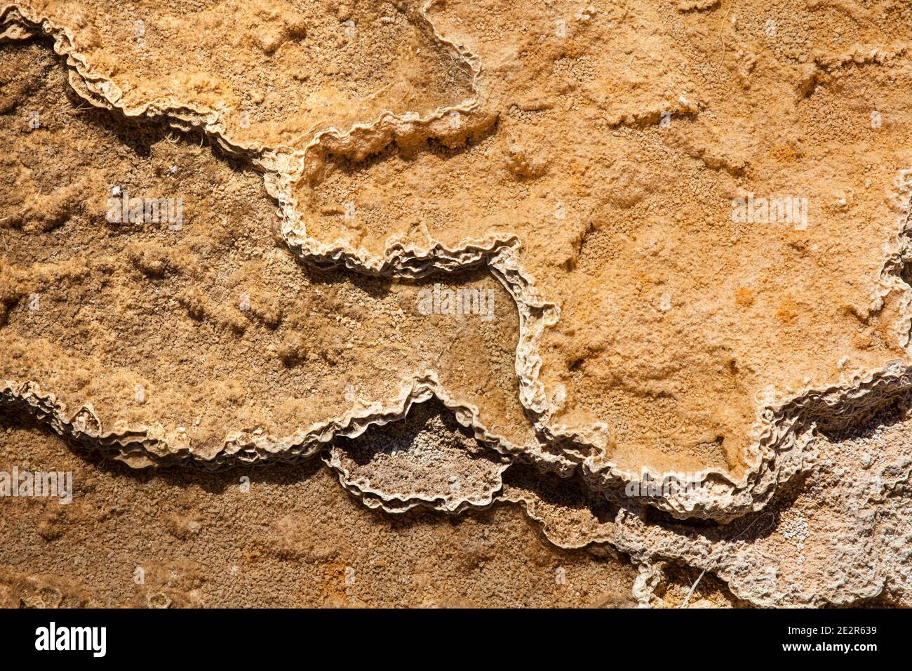 WY02857-00...WYOMING - Muster in den Lower Terraces bei Mammoth Hot Springs im Yellowstone National Park. Stockfotohttps://www.alamy.de/image-license-details/?v=1https://www.alamy.de/wy02857-00wyoming-muster-in-den-lower-terraces-bei-mammoth-hot-springs-im-yellowstone-national-park-image397577469.html
RM2E2R639–WY02857-00...WYOMING - Muster in den Lower Terraces bei Mammoth Hot Springs im Yellowstone National Park.
 Algen Kolonien in Tantalus Creek in der Nähe von Whirligig Geysir, Yellowstone-Nationalpark, Wyoming, USA Stockfotohttps://www.alamy.de/image-license-details/?v=1https://www.alamy.de/stockfoto-algen-kolonien-in-tantalus-creek-in-der-nahe-von-whirligig-geysir-yellowstone-nationalpark-wyoming-usa-26960794.html
RMBFT4NE–Algen Kolonien in Tantalus Creek in der Nähe von Whirligig Geysir, Yellowstone-Nationalpark, Wyoming, USA
 Geothermie-Fabrik und Schwimmbad, Blue Lagoon, Island, Polarregionen Stockfotohttps://www.alamy.de/image-license-details/?v=1https://www.alamy.de/stockfoto-geothermie-fabrik-und-schwimmbad-blue-lagoon-island-polarregionen-43973452.html
RMCFF4GC–Geothermie-Fabrik und Schwimmbad, Blue Lagoon, Island, Polarregionen
 Geothermische Gebiet im Lassen Volcanic National Park in Kalifornien, USA Stockfotohttps://www.alamy.de/image-license-details/?v=1https://www.alamy.de/stockfoto-geothermische-gebiet-im-lassen-volcanic-national-park-in-kalifornien-usa-122104159.html
RMH2J92R–Geothermische Gebiet im Lassen Volcanic National Park in Kalifornien, USA
 Geothermalen Gebieten, Hrafntinnusker, Hochland Island Stockfotohttps://www.alamy.de/image-license-details/?v=1https://www.alamy.de/stockfoto-geothermalen-gebieten-hrafntinnusker-hochland-island-90092396.html
RMF6G1NG–Geothermalen Gebieten, Hrafntinnusker, Hochland Island
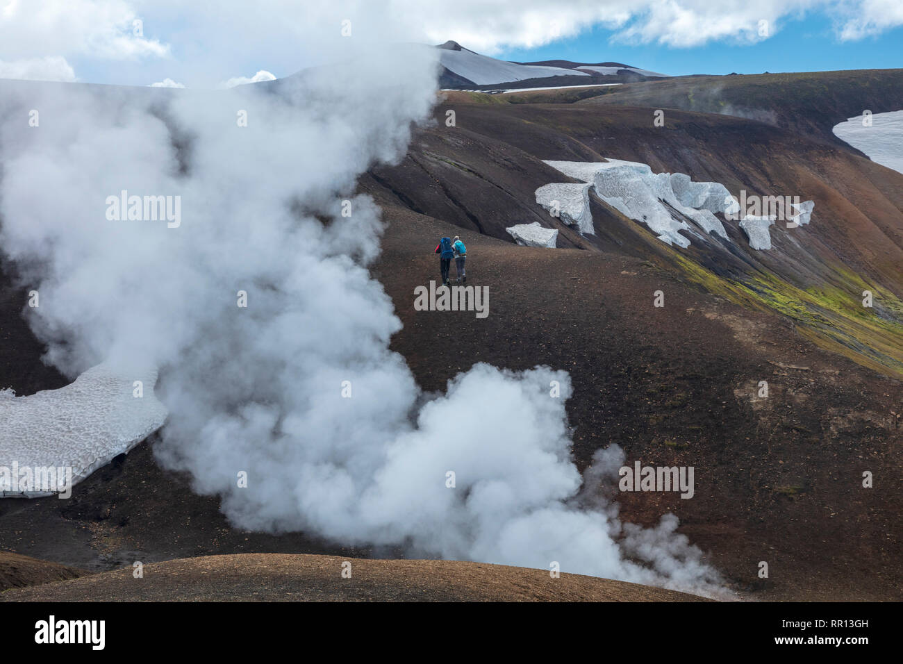 Wanderer auf dem Laugavegur Trail in der Nähe von Storihver Hot Springs, zwischen Landmannalaugar und Hrafntinnusker. Zentrale Hochland, Sudhurland, Island. Stockfotohttps://www.alamy.de/image-license-details/?v=1https://www.alamy.de/wanderer-auf-dem-laugavegur-trail-in-der-nahe-von-storihver-hot-springs-zwischen-landmannalaugar-und-hrafntinnusker-zentrale-hochland-sudhurland-island-image237896641.html
RMRR13GH–Wanderer auf dem Laugavegur Trail in der Nähe von Storihver Hot Springs, zwischen Landmannalaugar und Hrafntinnusker. Zentrale Hochland, Sudhurland, Island.
 Geothermie-Feld mit Geysir im Dorf Whakarewarewa, Nordinsel Neuseelands Stockfotohttps://www.alamy.de/image-license-details/?v=1https://www.alamy.de/geothermie-feld-mit-geysir-im-dorf-whakarewarewa-nordinsel-neuseelands-image632623227.html
RF2YN6DAK–Geothermie-Feld mit Geysir im Dorf Whakarewarewa, Nordinsel Neuseelands