Schnellfilter:
Geothermische bereich Stockfotos & Bilder
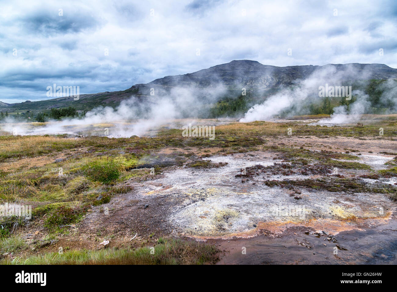 Litli Geysir, geothermische Gebiet Haukadalur, Golden Circle, Geysir, Reykjavik, Island Stockfotohttps://www.alamy.de/image-license-details/?v=1https://www.alamy.de/stockfoto-litli-geysir-geothermische-gebiet-haukadalur-golden-circle-geysir-reykjavik-island-116219093.html
RFGN26HW–Litli Geysir, geothermische Gebiet Haukadalur, Golden Circle, Geysir, Reykjavik, Island
 Heiße Quellen, Dampf, Spuren von Schnee, geothermische Gebiet von Stórihver, Laugavegur trekking Route, Landmannalaugar, Highlands Stockfotohttps://www.alamy.de/image-license-details/?v=1https://www.alamy.de/stockfoto-heisse-quellen-dampf-spuren-von-schnee-geothermische-gebiet-von-strihver-laugavegur-trekking-route-landmannalaugar-highlands-73797774.html
RFE81NPP–Heiße Quellen, Dampf, Spuren von Schnee, geothermische Gebiet von Stórihver, Laugavegur trekking Route, Landmannalaugar, Highlands
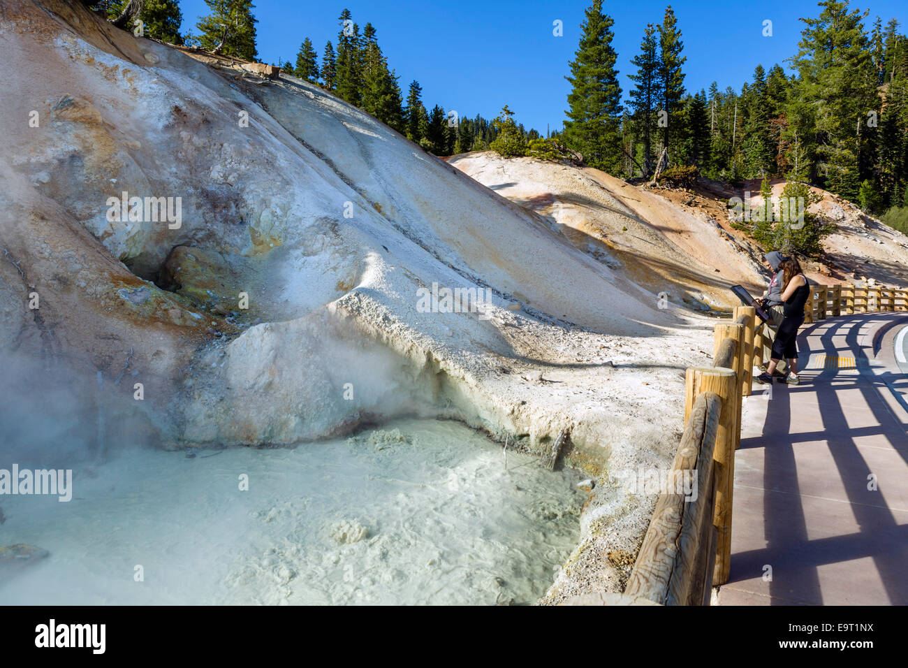 Mudpot an der Sulphur Works geothermische Gebiet, Lassen Volcanic Nationalpark, Cascade Range, Northern California, USA Stockfotohttps://www.alamy.de/image-license-details/?v=1https://www.alamy.de/stockfoto-mudpot-an-der-sulphur-works-geothermische-gebiet-lassen-volcanic-nationalpark-cascade-range-northern-california-usa-74901622.html
RME9T1NX–Mudpot an der Sulphur Works geothermische Gebiet, Lassen Volcanic Nationalpark, Cascade Range, Northern California, USA
 Geothermiegebiet Seltun Krysuv Island, Island Stockfotohttps://www.alamy.de/image-license-details/?v=1https://www.alamy.de/geothermiegebiet-seltun-krysuv-island-island-image353581165.html
RM2BF70AN–Geothermiegebiet Seltun Krysuv Island, Island
 Krýsuvík Hot Springs Geothermie Bereich paar Wandern erkunden trail Halbinsel Reykjanes Island Stockfotohttps://www.alamy.de/image-license-details/?v=1https://www.alamy.de/stockfoto-krsuvk-hot-springs-geothermie-bereich-paar-wandern-erkunden-trail-halbinsel-reykjanes-island-96624163.html
RMFH5H2Y–Krýsuvík Hot Springs Geothermie Bereich paar Wandern erkunden trail Halbinsel Reykjanes Island
 Wanderweg, geothermische Gebiet Krafla geothermischen Kraftwerk, Island Stockfotohttps://www.alamy.de/image-license-details/?v=1https://www.alamy.de/stockfoto-wanderweg-geothermische-gebiet-krafla-geothermischen-kraftwerk-island-93632608.html
RMFC999M–Wanderweg, geothermische Gebiet Krafla geothermischen Kraftwerk, Island
 Sonnenaufgang an der geothermischen Bereich Namafjall Hverir. Stockfotohttps://www.alamy.de/image-license-details/?v=1https://www.alamy.de/sonnenaufgang-an-der-geothermischen-bereich-namafjall-hverir-image186959839.html
RMMT4N53–Sonnenaufgang an der geothermischen Bereich Namafjall Hverir.
 Schauen Sie in die Schlucht Ásgarðsgljúfur in der Nähe des geothermischen Kerlingarfjöll, Insel, Island, Europa, Europa Stockfotohttps://www.alamy.de/image-license-details/?v=1https://www.alamy.de/stockfoto-schauen-sie-in-die-schlucht-sgarsgljfur-in-der-nahe-des-geothermischen-kerlingarfjoll-insel-island-europa-europa-34300208.html
RMBYPE7C–Schauen Sie in die Schlucht Ásgarðsgljúfur in der Nähe des geothermischen Kerlingarfjöll, Insel, Island, Europa, Europa
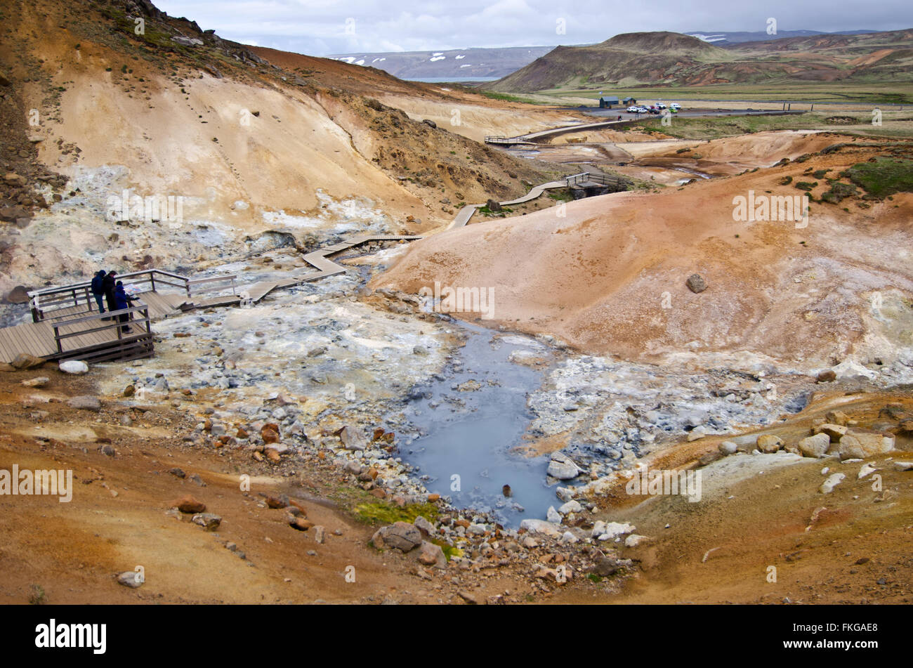 Menschen beobachten kochendem Schlamm Teich am Krysuvik geothermische Gebiet, Island Stockfotohttps://www.alamy.de/image-license-details/?v=1https://www.alamy.de/stockfoto-menschen-beobachten-kochendem-schlamm-teich-am-krysuvik-geothermische-gebiet-island-98089776.html
RMFKGAE8–Menschen beobachten kochendem Schlamm Teich am Krysuvik geothermische Gebiet, Island
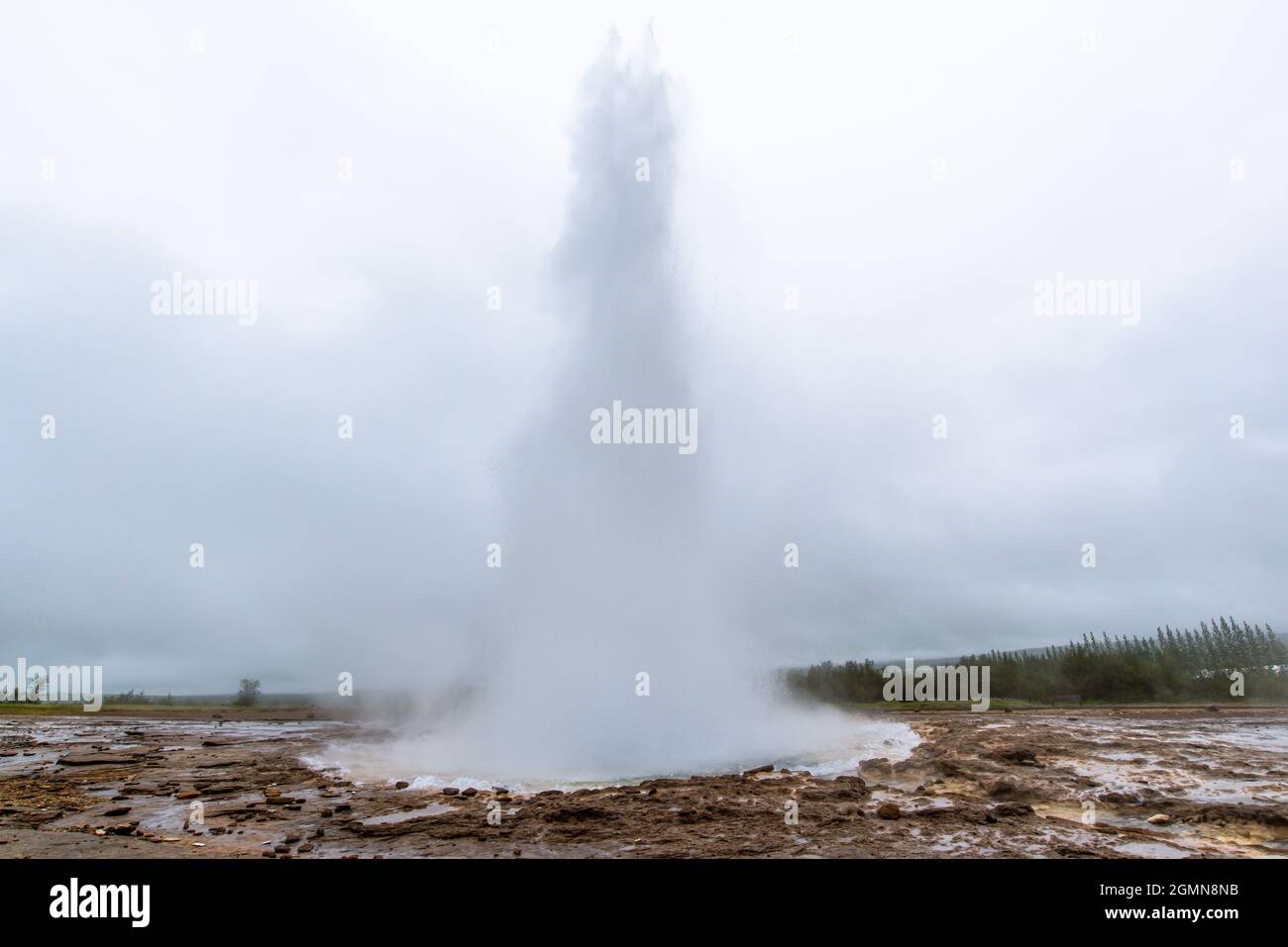 Strokkur-Geysir in Geysir, Island Stockfotohttps://www.alamy.de/image-license-details/?v=1https://www.alamy.de/strokkur-geysir-in-geysir-island-image443020183.html
RF2GMN8NB–Strokkur-Geysir in Geysir, Island
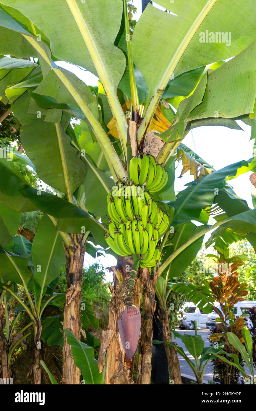 Bananenpflanze, Erdwärmegebiet Sulphur Springs, Malgretoute, Soufrière District, Saint Lucia, Lesser Antillen, Karibik Stockfotohttps://www.alamy.de/image-license-details/?v=1https://www.alamy.de/bananenpflanze-erdwarmegebiet-sulphur-springs-malgretoute-soufrire-district-saint-lucia-lesser-antillen-karibik-image526584458.html
RM2NGKYRP–Bananenpflanze, Erdwärmegebiet Sulphur Springs, Malgretoute, Soufrière District, Saint Lucia, Lesser Antillen, Karibik
 Elefant heißen Frühling auf geothermische Skigebiet Mammoth, Yellowstone-Nationalpark, Wyoming, USA Stockfotohttps://www.alamy.de/image-license-details/?v=1https://www.alamy.de/stockfoto-elefant-heissen-fruhling-auf-geothermische-skigebiet-mammoth-yellowstone-nationalpark-wyoming-usa-72852013.html
RFE6EKDH–Elefant heißen Frühling auf geothermische Skigebiet Mammoth, Yellowstone-Nationalpark, Wyoming, USA
 Geothermie-Bereich Stockfotohttps://www.alamy.de/image-license-details/?v=1https://www.alamy.de/geothermie-bereich-image67396509.html
RMDWJ4X5–Geothermie-Bereich
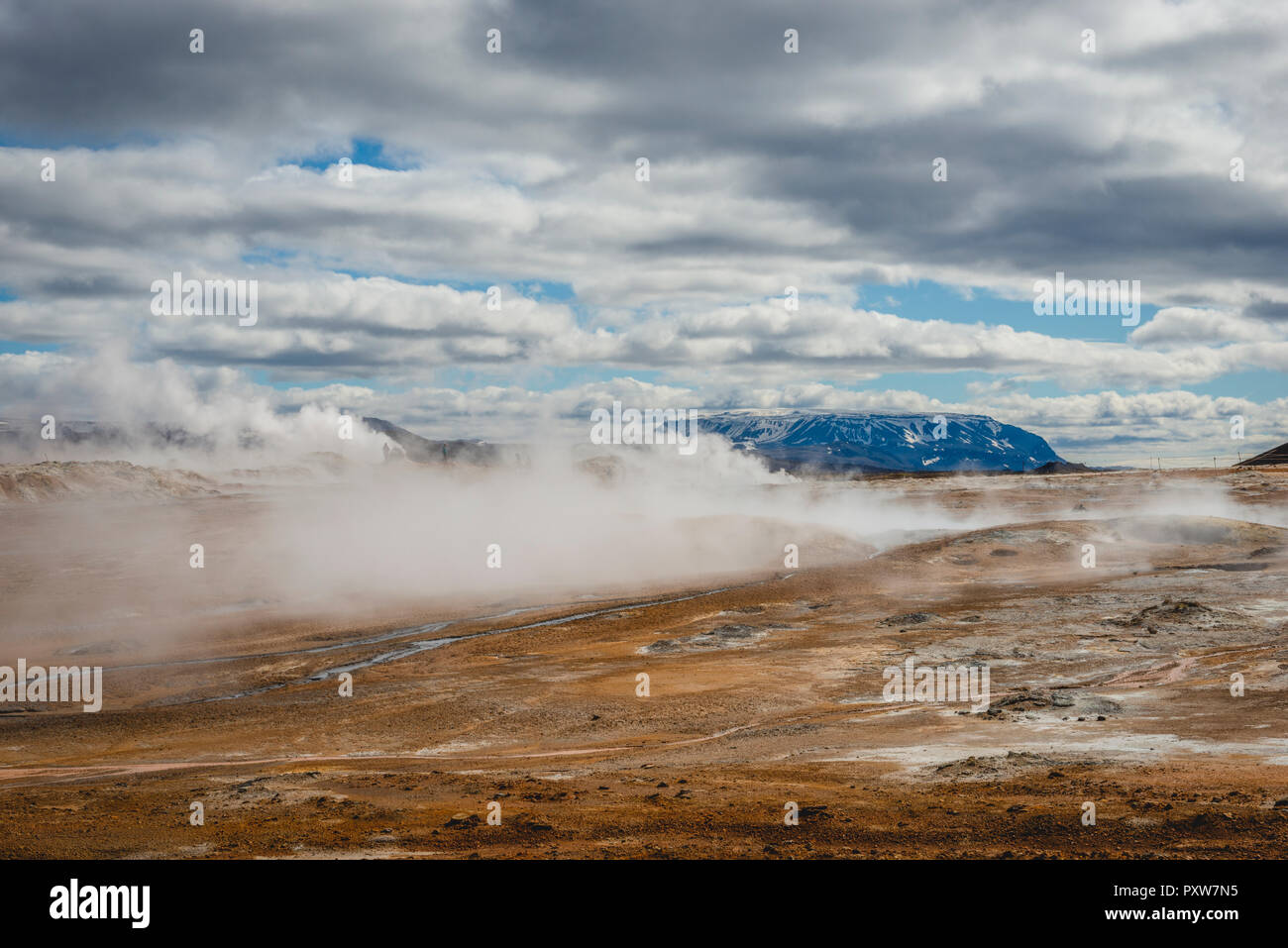 Island, Myvatn, Namaskard, geothermale Region Stockfotohttps://www.alamy.de/image-license-details/?v=1https://www.alamy.de/island-myvatn-namaskard-geothermale-region-image223060353.html
RFPXW7N5–Island, Myvatn, Namaskard, geothermale Region
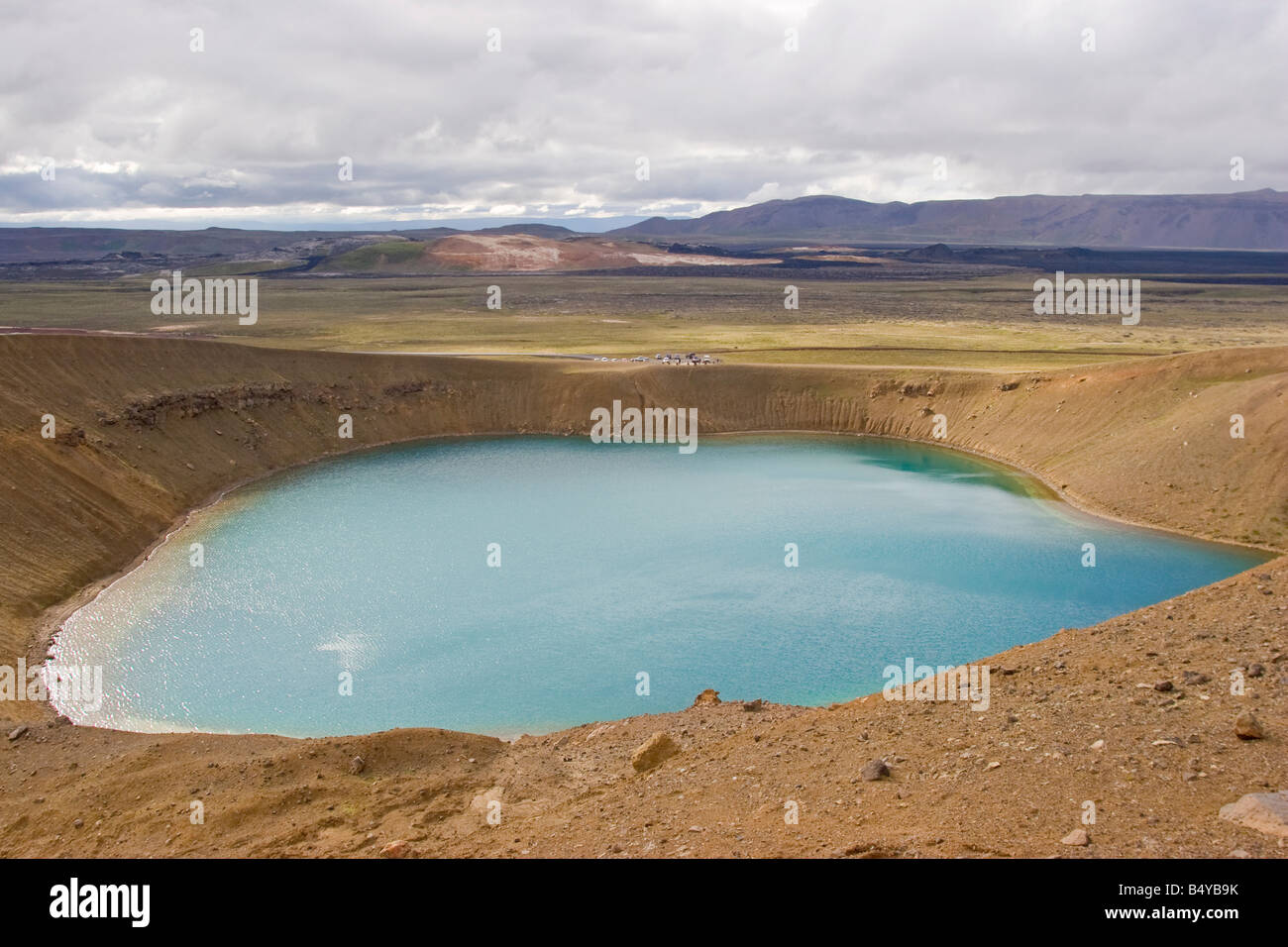 Krafla geothermische Gegend Myvatn See, Nord-Island. Stockfotohttps://www.alamy.de/image-license-details/?v=1https://www.alamy.de/stockfoto-krafla-geothermische-gegend-myvatn-see-nord-island-20270591.html
RMB4YB9K–Krafla geothermische Gegend Myvatn See, Nord-Island.
 Bereich Geothermie Krysuvík Reykjanes Halbinsel in Island Stockfotohttps://www.alamy.de/image-license-details/?v=1https://www.alamy.de/stockfoto-bereich-geothermie-krysuvk-reykjanes-halbinsel-in-island-30819127.html
RMBP3X33–Bereich Geothermie Krysuvík Reykjanes Halbinsel in Island
 Gunnuhver Geothermie Bereich in reykjanes Halbinsel Island. Stockfotohttps://www.alamy.de/image-license-details/?v=1https://www.alamy.de/gunnuhver-geothermie-bereich-in-reykjanes-halbinsel-island-image342434200.html
RF2AW368T–Gunnuhver Geothermie Bereich in reykjanes Halbinsel Island.
 Daisy-Geysir ausbrechen, geothermische Gebiet Upper Geyser Basin, Yellowstone Caldera, Yellowstone-Nationalpark, Wyoming. Stockfotohttps://www.alamy.de/image-license-details/?v=1https://www.alamy.de/stockfoto-daisy-geysir-ausbrechen-geothermische-gebiet-upper-geyser-basin-yellowstone-caldera-yellowstone-nationalpark-wyoming-41621420.html
RFCBM0F8–Daisy-Geysir ausbrechen, geothermische Gebiet Upper Geyser Basin, Yellowstone Caldera, Yellowstone-Nationalpark, Wyoming.
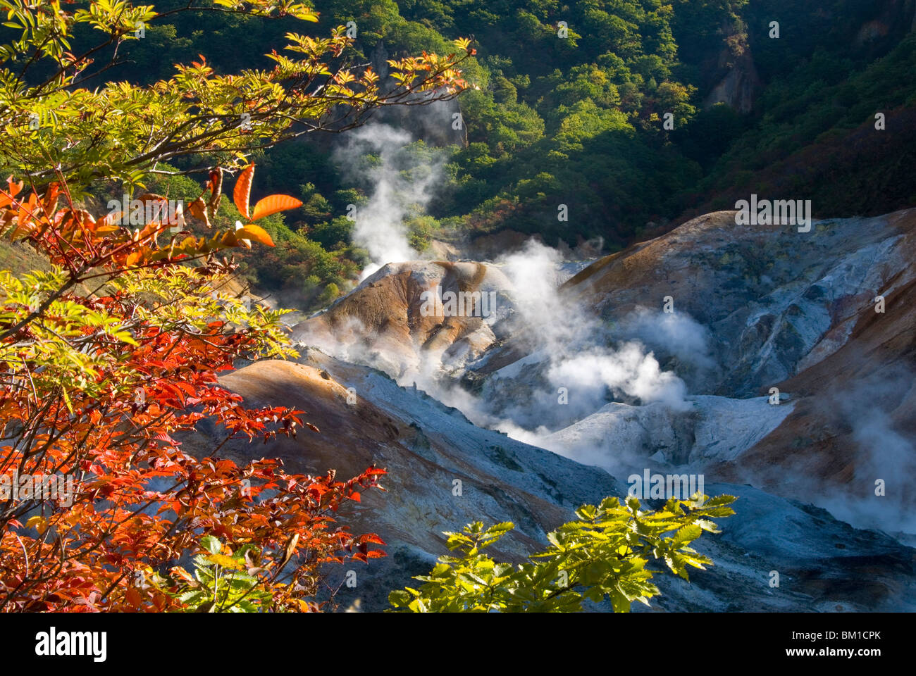 Dampf-Fumarolen in Jigokudani geothermische Gebiet, Noboribetsu Onsen Shikotsu-Toya-Nationalpark, Hokkaido, Japan Stockfotohttps://www.alamy.de/image-license-details/?v=1https://www.alamy.de/stockfoto-dampf-fumarolen-in-jigokudani-geothermische-gebiet-noboribetsu-onsen-shikotsu-toya-nationalpark-hokkaido-japan-29535483.html
RMBM1CPK–Dampf-Fumarolen in Jigokudani geothermische Gebiet, Noboribetsu Onsen Shikotsu-Toya-Nationalpark, Hokkaido, Japan
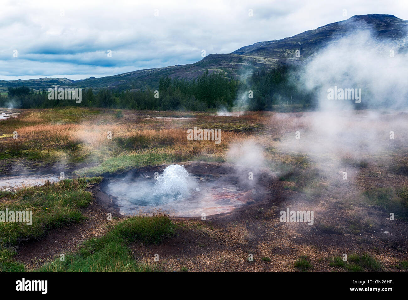 Litli Geysir, geothermische Gebiet Haukadalur, Golden Circle, Geysir, Reykjavik, Island Stockfotohttps://www.alamy.de/image-license-details/?v=1https://www.alamy.de/stockfoto-litli-geysir-geothermische-gebiet-haukadalur-golden-circle-geysir-reykjavik-island-116219090.html
RFGN26HP–Litli Geysir, geothermische Gebiet Haukadalur, Golden Circle, Geysir, Reykjavik, Island
 Geothermische Gebiet, Namafjall, Myvatn, Island Stockfotohttps://www.alamy.de/image-license-details/?v=1https://www.alamy.de/stockfoto-geothermische-gebiet-namafjall-myvatn-island-90954445.html
RFF7Y991–Geothermische Gebiet, Namafjall, Myvatn, Island
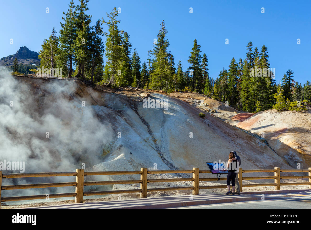 Heiße Quellen und Fumarolen im Schwefel funktioniert Geothermie Bereich, Lassen Volcanic National Park, Kalifornien, USA Stockfotohttps://www.alamy.de/image-license-details/?v=1https://www.alamy.de/stockfoto-heisse-quellen-und-fumarolen-im-schwefel-funktioniert-geothermie-bereich-lassen-volcanic-national-park-kalifornien-usa-74901620.html
RME9T1NT–Heiße Quellen und Fumarolen im Schwefel funktioniert Geothermie Bereich, Lassen Volcanic National Park, Kalifornien, USA
 Geothermiegebiet Seltun Krysuv Island, Island Stockfotohttps://www.alamy.de/image-license-details/?v=1https://www.alamy.de/geothermiegebiet-seltun-krysuv-island-island-image353580929.html
RM2BF7029–Geothermiegebiet Seltun Krysuv Island, Island
 Krýsuvík geothermische Gebiet Halbinsel Reykjanes Island kochend heiße Quelle Dampf Eruptionen Warnschild Warnung Stockfotohttps://www.alamy.de/image-license-details/?v=1https://www.alamy.de/stockfoto-krsuvk-geothermische-gebiet-halbinsel-reykjanes-island-kochend-heisse-quelle-dampf-eruptionen-warnschild-warnung-96624540.html
RMFH5HGC–Krýsuvík geothermische Gebiet Halbinsel Reykjanes Island kochend heiße Quelle Dampf Eruptionen Warnschild Warnung
 Geothermische Bereich der Geysir und Strokkur, Island Stockfotohttps://www.alamy.de/image-license-details/?v=1https://www.alamy.de/stockfoto-geothermische-bereich-der-geysir-und-strokkur-island-167455924.html
RMKMC7MM–Geothermische Bereich der Geysir und Strokkur, Island
 Bunte Berge im geothermischen Gebiet von Kerlingarfjöll. Stockfotohttps://www.alamy.de/image-license-details/?v=1https://www.alamy.de/bunte-berge-im-geothermischen-gebiet-von-kerlingarfjoll-image455799607.html
RM2HDFD1B–Bunte Berge im geothermischen Gebiet von Kerlingarfjöll.
 Schauen Sie in die Schlucht Ásgarðsgljúfur in der Nähe des geothermischen Kerlingarfjöll, Insel, Island, Europa, Europa Stockfotohttps://www.alamy.de/image-license-details/?v=1https://www.alamy.de/stockfoto-schauen-sie-in-die-schlucht-sgarsgljfur-in-der-nahe-des-geothermischen-kerlingarfjoll-insel-island-europa-europa-34300204.html
RMBYPE78–Schauen Sie in die Schlucht Ásgarðsgljúfur in der Nähe des geothermischen Kerlingarfjöll, Insel, Island, Europa, Europa
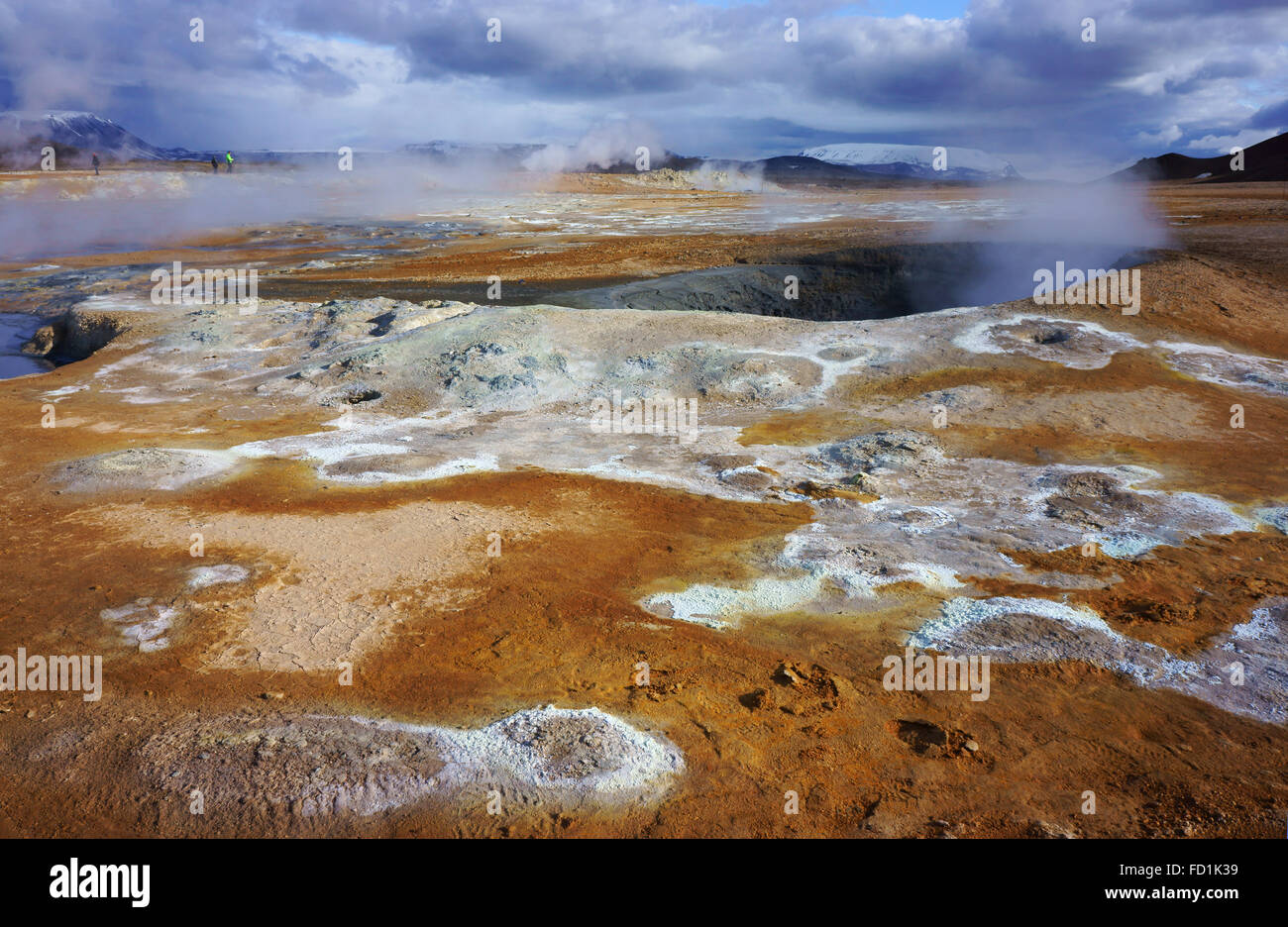 Menschen beobachten kochende Schlammtöpfe von Namaskard geothermale Region, Island Stockfotohttps://www.alamy.de/image-license-details/?v=1https://www.alamy.de/stockfoto-menschen-beobachten-kochende-schlammtopfe-von-namaskard-geothermale-region-island-94079309.html
RMFD1K39–Menschen beobachten kochende Schlammtöpfe von Namaskard geothermale Region, Island
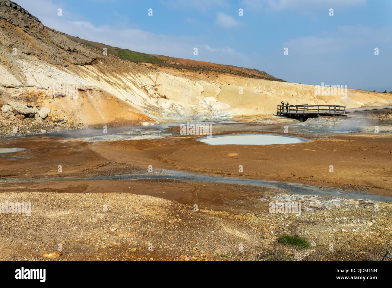 Landschaft des Seltun Geothermiegebiets auf der Halbinsel Reykjanes, Island Stockfotohttps://www.alamy.de/image-license-details/?v=1https://www.alamy.de/landschaft-des-seltun-geothermiegebiets-auf-der-halbinsel-reykjanes-island-image473128925.html
RF2JDMTNH–Landschaft des Seltun Geothermiegebiets auf der Halbinsel Reykjanes, Island
 Geothermische Gebiet Namaskard, Island, Stockfotohttps://www.alamy.de/image-license-details/?v=1https://www.alamy.de/stockfoto-geothermische-gebiet-namaskard-island-123045966.html
RMH456AP–Geothermische Gebiet Namaskard, Island,
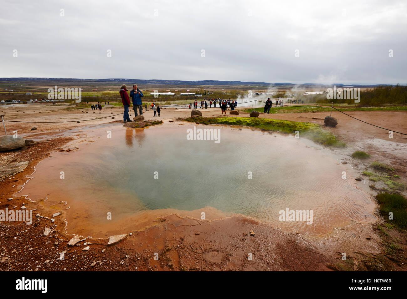 tiefen Geyser Warmwasser geothermische Gebiet Haukadalur Geysir Island Stockfotohttps://www.alamy.de/image-license-details/?v=1https://www.alamy.de/stockfoto-tiefen-geyser-warmwasser-geothermische-gebiet-haukadalur-geysir-island-121019271.html
RMH0TW8R–tiefen Geyser Warmwasser geothermische Gebiet Haukadalur Geysir Island
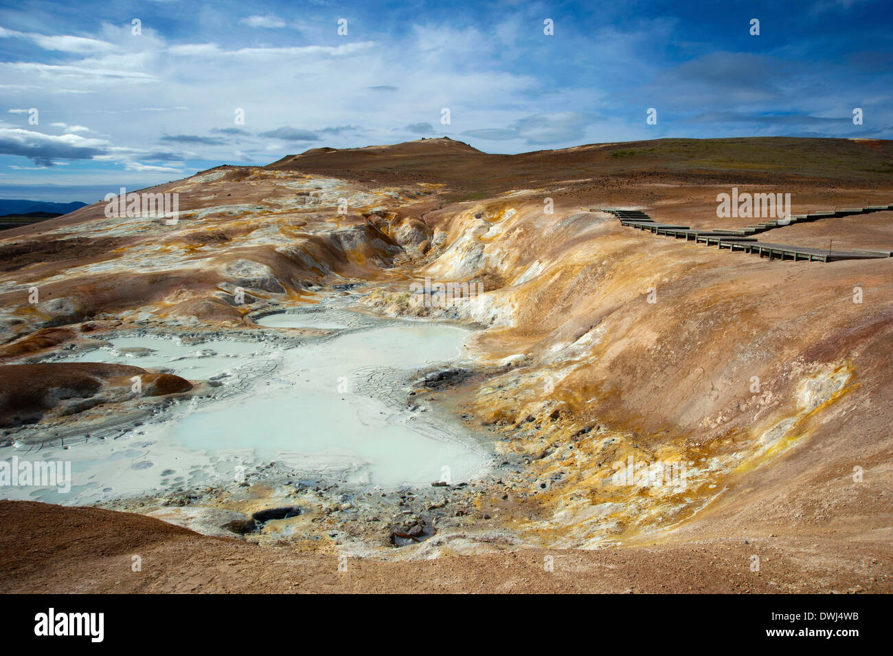 Geothermie-Bereich Stockfotohttps://www.alamy.de/image-license-details/?v=1https://www.alamy.de/geothermie-bereich-image67396487.html
RMDWJ4WB–Geothermie-Bereich
 Island, Vestfiroir, Reykholar, geothermale Region Stockfotohttps://www.alamy.de/image-license-details/?v=1https://www.alamy.de/island-vestfiroir-reykholar-geothermale-region-image223017655.html
RFPXR987–Island, Vestfiroir, Reykholar, geothermale Region
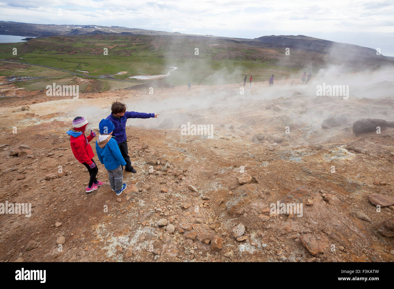 Besucher neben dampfenden Vulkanschlote bei Seltun, Krysuvik geothermische Gebiet, Halbinsel Reykjanes, Island. Stockfotohttps://www.alamy.de/image-license-details/?v=1https://www.alamy.de/stockfoto-besucher-neben-dampfenden-vulkanschlote-bei-seltun-krysuvik-geothermische-gebiet-halbinsel-reykjanes-island-88321433.html
RMF3KATW–Besucher neben dampfenden Vulkanschlote bei Seltun, Krysuvik geothermische Gebiet, Halbinsel Reykjanes, Island.
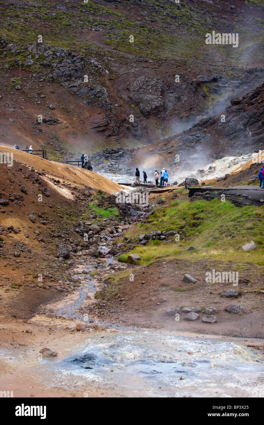 Touristen werden im Bereich Geothermie Krysuvík Reykjanes Halbinsel in Island Stockfotohttps://www.alamy.de/image-license-details/?v=1https://www.alamy.de/stockfoto-touristen-werden-im-bereich-geothermie-krysuvk-reykjanes-halbinsel-in-island-30819101.html
RMBP3X25–Touristen werden im Bereich Geothermie Krysuvík Reykjanes Halbinsel in Island
 Námafjall Hverir Geothermiegebiet, Island Stockfotohttps://www.alamy.de/image-license-details/?v=1https://www.alamy.de/stockfoto-nmafjall-hverir-geothermiegebiet-island-160063166.html
RMK8BE5J–Námafjall Hverir Geothermiegebiet, Island
 White Dome Geyser ausbricht, geothermische Gebiet Lower Geyser Basin, Yellowstone Caldera, Yellowstone-Nationalpark, Wyoming. Stockfotohttps://www.alamy.de/image-license-details/?v=1https://www.alamy.de/stockfoto-white-dome-geyser-ausbricht-geothermische-gebiet-lower-geyser-basin-yellowstone-caldera-yellowstone-nationalpark-wyoming-41621475.html
RFCBM0H7–White Dome Geyser ausbricht, geothermische Gebiet Lower Geyser Basin, Yellowstone Caldera, Yellowstone-Nationalpark, Wyoming.
 Kochendem Schlamm-Pool, geothermische Namafjall Nähe See Myvatn, Nordosten, Island, Polarregionen Stockfotohttps://www.alamy.de/image-license-details/?v=1https://www.alamy.de/stockfoto-kochendem-schlamm-pool-geothermische-namafjall-nahe-see-myvatn-nordosten-island-polarregionen-29535694.html
RMBM1D26–Kochendem Schlamm-Pool, geothermische Namafjall Nähe See Myvatn, Nordosten, Island, Polarregionen
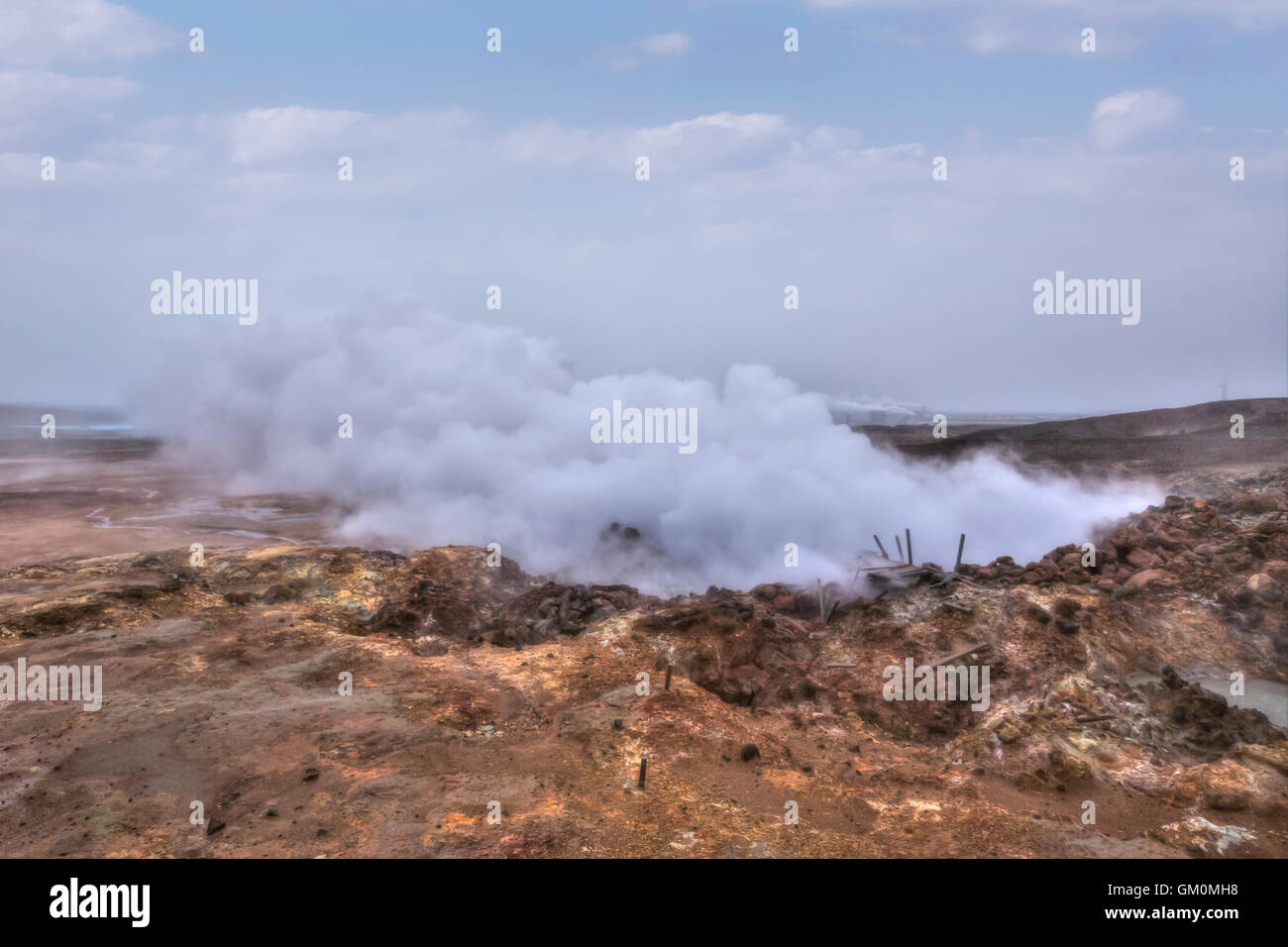 geothermische Gebiet Gunnuhver, Reykjanes, Grindavik, Island Stockfotohttps://www.alamy.de/image-license-details/?v=1https://www.alamy.de/stockfoto-geothermische-gebiet-gunnuhver-reykjanes-grindavik-island-115571492.html
RFGM0MH8–geothermische Gebiet Gunnuhver, Reykjanes, Grindavik, Island
 Aufsteigendem Dampf, geothermische Gebiet, Energieerzeugung, am See Mývatn in Nordisland, Europa Stockfotohttps://www.alamy.de/image-license-details/?v=1https://www.alamy.de/stockfoto-aufsteigendem-dampf-geothermische-gebiet-energieerzeugung-am-see-mvatn-in-nordisland-europa-48791515.html
RMCRAJ23–Aufsteigendem Dampf, geothermische Gebiet, Energieerzeugung, am See Mývatn in Nordisland, Europa
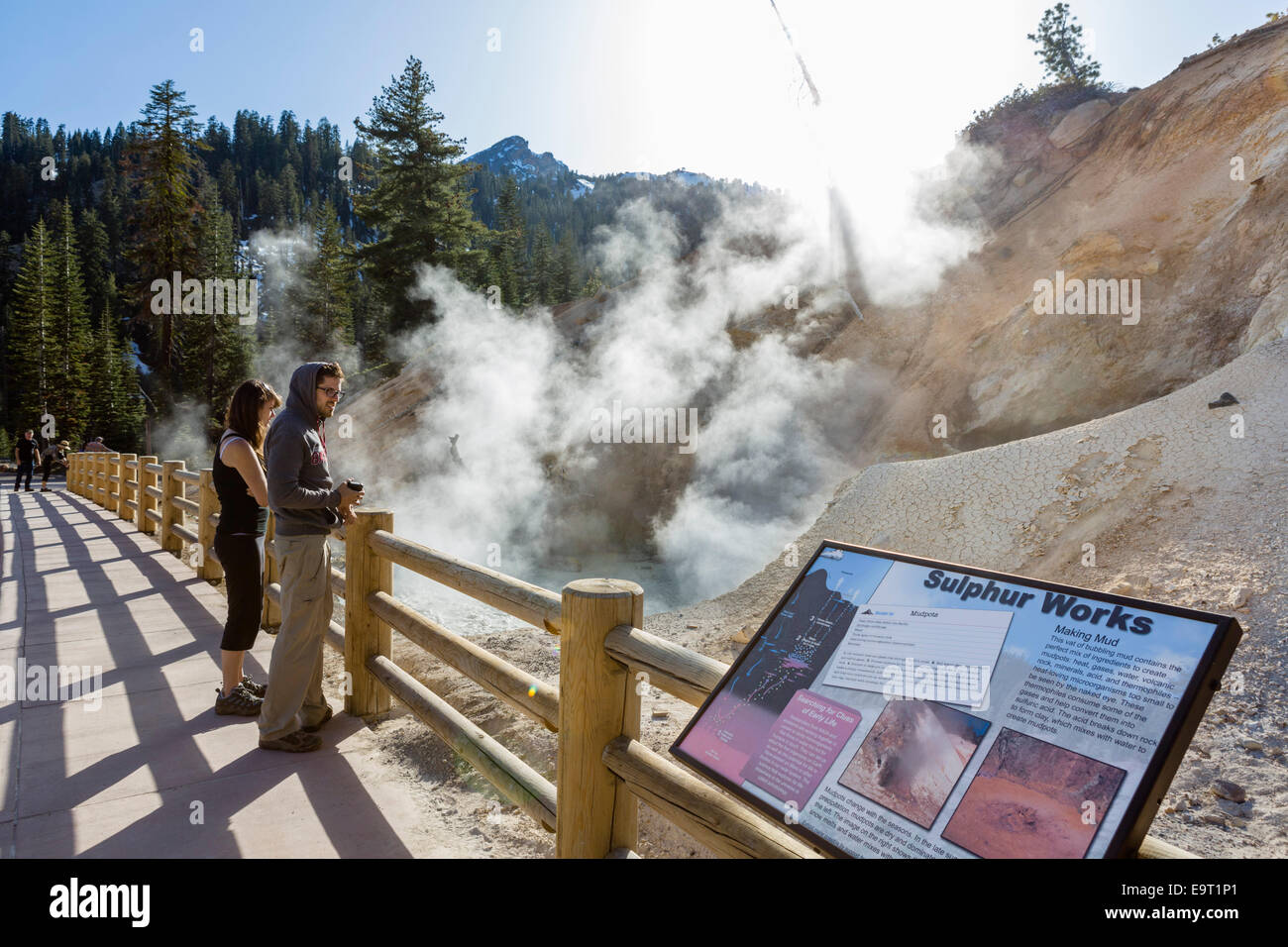 Mudpot an der Sulphur Works geothermische Gebiet, Lassen Volcanic Nationalpark, Cascade Range, Northern California, USA Stockfotohttps://www.alamy.de/image-license-details/?v=1https://www.alamy.de/stockfoto-mudpot-an-der-sulphur-works-geothermische-gebiet-lassen-volcanic-nationalpark-cascade-range-northern-california-usa-74901625.html
RME9T1P1–Mudpot an der Sulphur Works geothermische Gebiet, Lassen Volcanic Nationalpark, Cascade Range, Northern California, USA
 Geothermiegebiet Seltun Krysuv Island, Island Stockfotohttps://www.alamy.de/image-license-details/?v=1https://www.alamy.de/geothermiegebiet-seltun-krysuv-island-island-image353580667.html
RM2BF6YMY–Geothermiegebiet Seltun Krysuv Island, Island
 Wüst geothermische Gebiet in der Nähe von Mývatn, Hverir in Island Stockfotohttps://www.alamy.de/image-license-details/?v=1https://www.alamy.de/stockfoto-wust-geothermische-gebiet-in-der-nahe-von-mvatn-hverir-in-island-162792997.html
RMKCRT3H–Wüst geothermische Gebiet in der Nähe von Mývatn, Hverir in Island
 Geothermische Bereich der Geysir und Strokkur, Island Stockfotohttps://www.alamy.de/image-license-details/?v=1https://www.alamy.de/stockfoto-geothermische-bereich-der-geysir-und-strokkur-island-167455920.html
RMKMC7MG–Geothermische Bereich der Geysir und Strokkur, Island
 Morgensonne von Dampf des Hverir Geothermie-Bereich umrahmt. Stockfotohttps://www.alamy.de/image-license-details/?v=1https://www.alamy.de/morgensonne-von-dampf-des-hverir-geothermie-bereich-umrahmt-image457774189.html
RM2HGNBJ5–Morgensonne von Dampf des Hverir Geothermie-Bereich umrahmt.
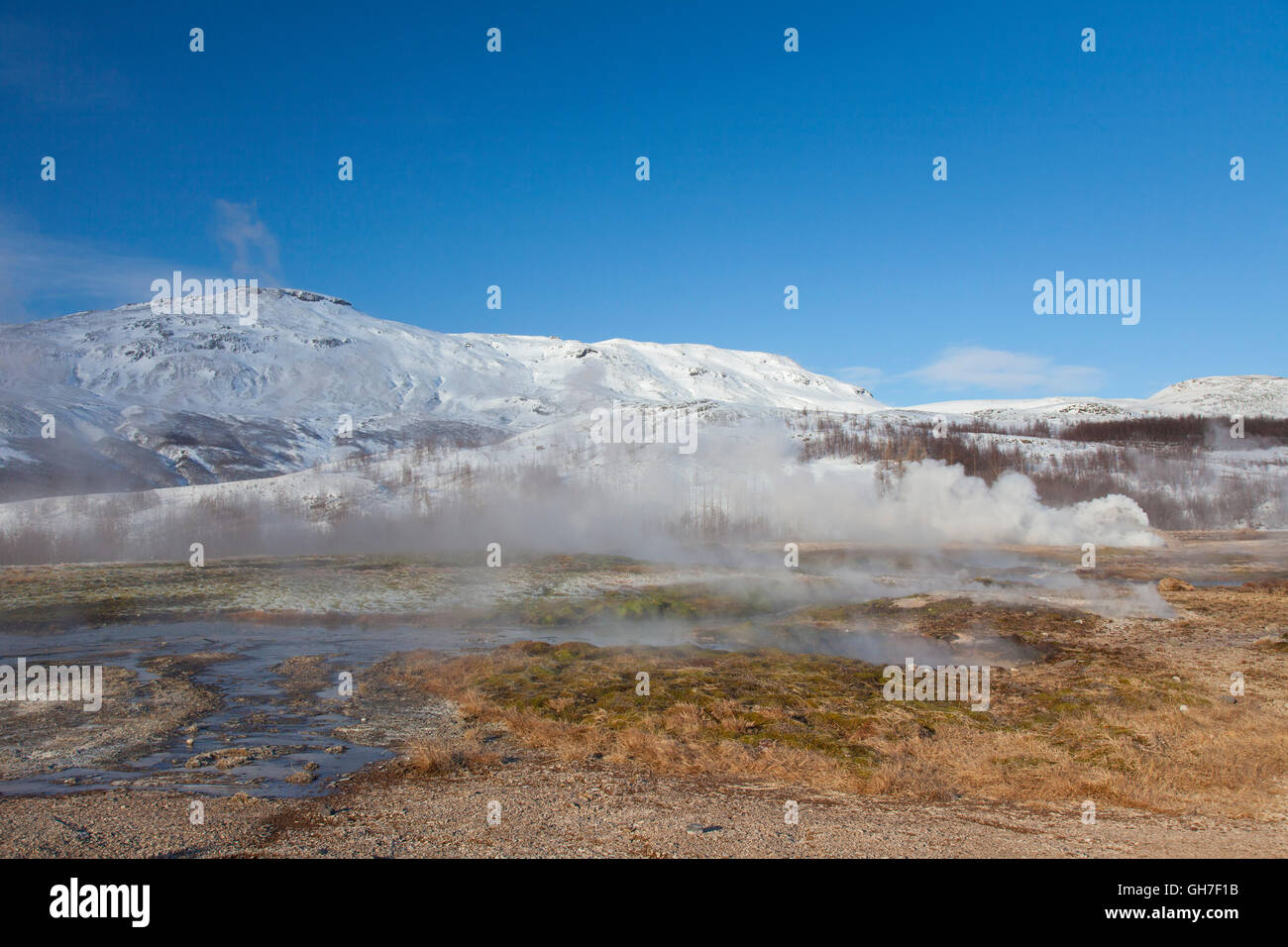 Geothermische Gebiet der Geysir im Haukadalur Tal, Sudurland, Island Stockfotohttps://www.alamy.de/image-license-details/?v=1https://www.alamy.de/stockfoto-geothermische-gebiet-der-geysir-im-haukadalur-tal-sudurland-island-113876823.html
RMGH7F1B–Geothermische Gebiet der Geysir im Haukadalur Tal, Sudurland, Island
 Menschen beobachten kochende Schlammtöpfe von Namaskard geothermale Region, Island Stockfotohttps://www.alamy.de/image-license-details/?v=1https://www.alamy.de/stockfoto-menschen-beobachten-kochende-schlammtopfe-von-namaskard-geothermale-region-island-93031010.html
RMFB9X02–Menschen beobachten kochende Schlammtöpfe von Namaskard geothermale Region, Island
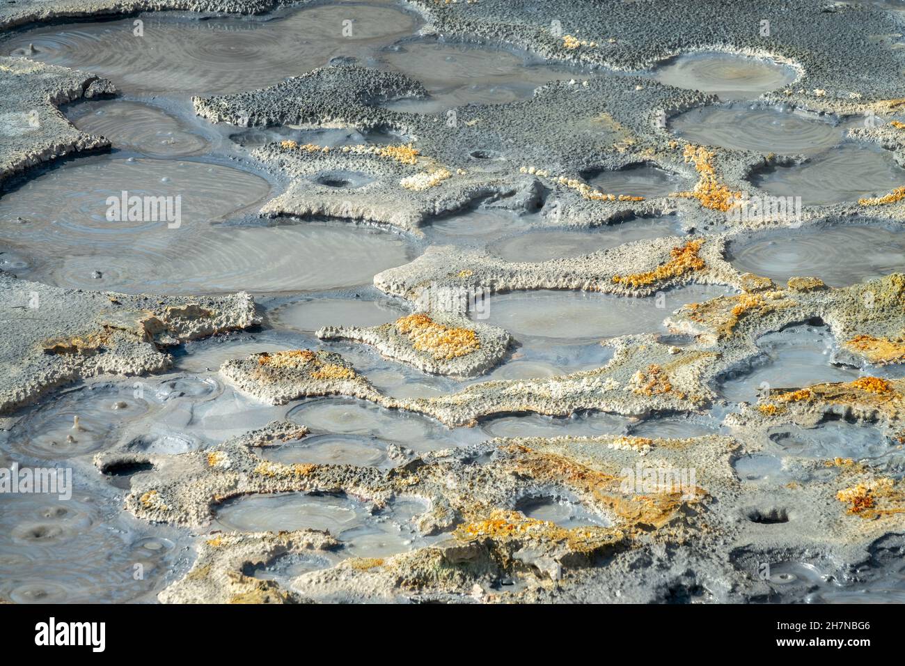 Heiße Schlammtöpfe im Seltun Geothermie-Gebiet auf der Halbinsel Reykjanes, Island Stockfotohttps://www.alamy.de/image-license-details/?v=1https://www.alamy.de/heisse-schlammtopfe-im-seltun-geothermie-gebiet-auf-der-halbinsel-reykjanes-island-image452242230.html
RF2H7NBG6–Heiße Schlammtöpfe im Seltun Geothermie-Gebiet auf der Halbinsel Reykjanes, Island
 Die Blaue Lagune, Island, schöne geothermische Gebiet in der Nähe von Reykjavik. Stockfotohttps://www.alamy.de/image-license-details/?v=1https://www.alamy.de/die-blaue-lagune-island-schone-geothermische-gebiet-in-der-nahe-von-reykjavik-image157289432.html
RFK3W47M–Die Blaue Lagune, Island, schöne geothermische Gebiet in der Nähe von Reykjavik.
 Schauen Sie in die Schlucht Ásgarðsgljúfur in der Nähe des geothermischen Kerlingarfjöll, Insel, Island, Europa, Europa Stockfotohttps://www.alamy.de/image-license-details/?v=1https://www.alamy.de/stockfoto-schauen-sie-in-die-schlucht-sgarsgljfur-in-der-nahe-des-geothermischen-kerlingarfjoll-insel-island-europa-europa-34300228.html
RMBYPE84–Schauen Sie in die Schlucht Ásgarðsgljúfur in der Nähe des geothermischen Kerlingarfjöll, Insel, Island, Europa, Europa
 Geothermie-Bereich Stockfotohttps://www.alamy.de/image-license-details/?v=1https://www.alamy.de/geothermie-bereich-image67396465.html
RMDWJ4TH–Geothermie-Bereich
 Vents, Namajfall Hverir Geothermie, in der Nähe von Reykjahlid, Island Stockfotohttps://www.alamy.de/image-license-details/?v=1https://www.alamy.de/vents-namajfall-hverir-geothermie-in-der-nahe-von-reykjahlid-island-image441676109.html
RM2GJG2AN–Vents, Namajfall Hverir Geothermie, in der Nähe von Reykjahlid, Island
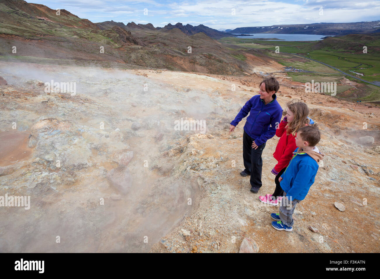 Besucher neben dampfenden Vulkanschlote bei Seltun, Krysuvik geothermische Gebiet, Halbinsel Reykjanes, Island. Stockfotohttps://www.alamy.de/image-license-details/?v=1https://www.alamy.de/stockfoto-besucher-neben-dampfenden-vulkanschlote-bei-seltun-krysuvik-geothermische-gebiet-halbinsel-reykjanes-island-88321429.html
RMF3KATN–Besucher neben dampfenden Vulkanschlote bei Seltun, Krysuvik geothermische Gebiet, Halbinsel Reykjanes, Island.
 Krafla geothermische Gegend Myvatn See, Nord-Island. Stockfotohttps://www.alamy.de/image-license-details/?v=1https://www.alamy.de/stockfoto-krafla-geothermische-gegend-myvatn-see-nord-island-19339125.html
RMB3CY71–Krafla geothermische Gegend Myvatn See, Nord-Island.
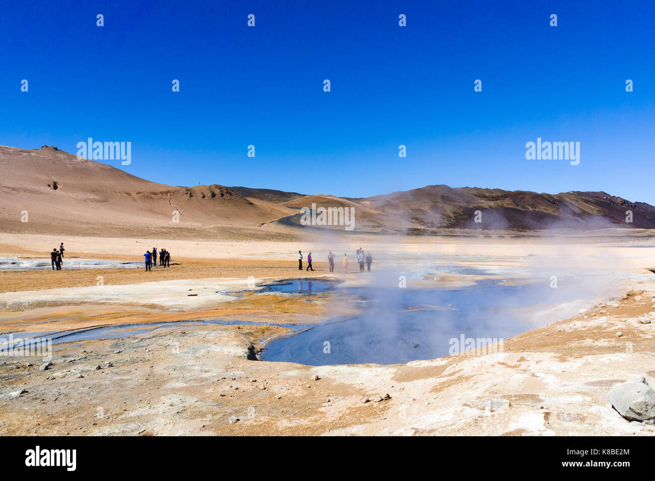 Námafjall Hverir Geothermiegebiet, Island Stockfotohttps://www.alamy.de/image-license-details/?v=1https://www.alamy.de/stockfoto-nmafjall-hverir-geothermiegebiet-island-160063084.html
RMK8BE2M–Námafjall Hverir Geothermiegebiet, Island
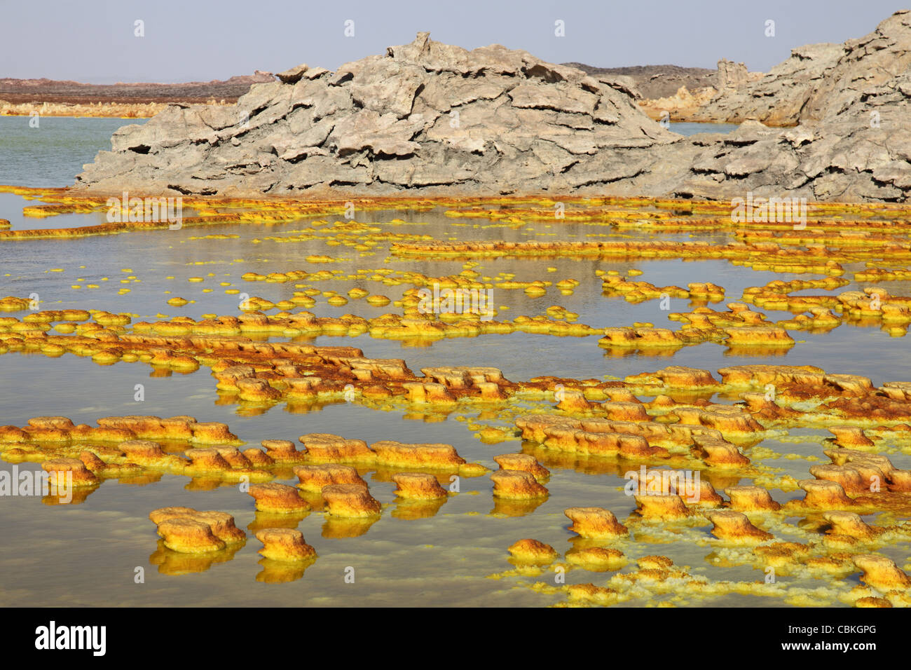 27. Januar 2011 - Dallol geothermische Gebiet, Kalium Salzlagerstätten durch gebildet Sole-Thermalbad, Danakil-Senke, Äthiopien. Stockfotohttps://www.alamy.de/image-license-details/?v=1https://www.alamy.de/stockfoto-27-januar-2011-dallol-geothermische-gebiet-kalium-salzlagerstatten-durch-gebildet-sole-thermalbad-danakil-senke-athiopien-41612216.html
RFCBKGPG–27. Januar 2011 - Dallol geothermische Gebiet, Kalium Salzlagerstätten durch gebildet Sole-Thermalbad, Danakil-Senke, Äthiopien.
 Dampfdüsen geothermische Gebiet Jigokudani Hotels Noboribetsu Onsen hinaus Shikotsu-Toya-Nationalpark, Hokkaido, Japan Stockfotohttps://www.alamy.de/image-license-details/?v=1https://www.alamy.de/stockfoto-dampfdusen-geothermische-gebiet-jigokudani-hotels-noboribetsu-onsen-hinaus-shikotsu-toya-nationalpark-hokkaido-japan-29535508.html
RMBM1CRG–Dampfdüsen geothermische Gebiet Jigokudani Hotels Noboribetsu Onsen hinaus Shikotsu-Toya-Nationalpark, Hokkaido, Japan
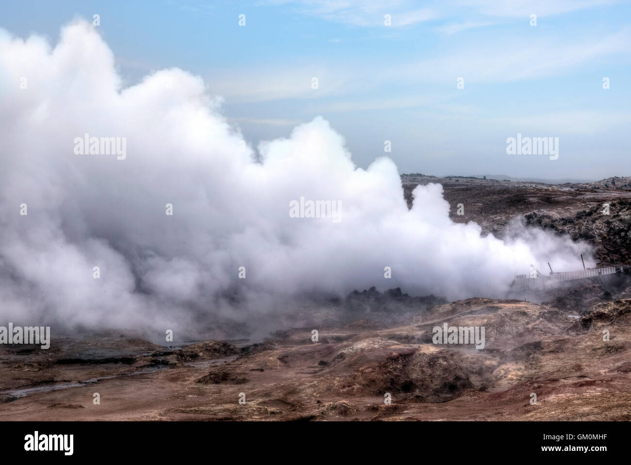 geothermische Gebiet Gunnuhver, Reykjanes, Grindavik, Island Stockfotohttps://www.alamy.de/image-license-details/?v=1https://www.alamy.de/stockfoto-geothermische-gebiet-gunnuhver-reykjanes-grindavik-island-115571499.html
RFGM0MHF–geothermische Gebiet Gunnuhver, Reykjanes, Grindavik, Island
 Geothermie mit Schwefelablagerungen und sauren Solen, Dallol, Danakil-Depression, Äthiopien Stockfotohttps://www.alamy.de/image-license-details/?v=1https://www.alamy.de/geothermie-mit-schwefelablagerungen-und-sauren-solen-dallol-danakil-depression-athiopien-image371736359.html
RF2CGP1EF–Geothermie mit Schwefelablagerungen und sauren Solen, Dallol, Danakil-Depression, Äthiopien
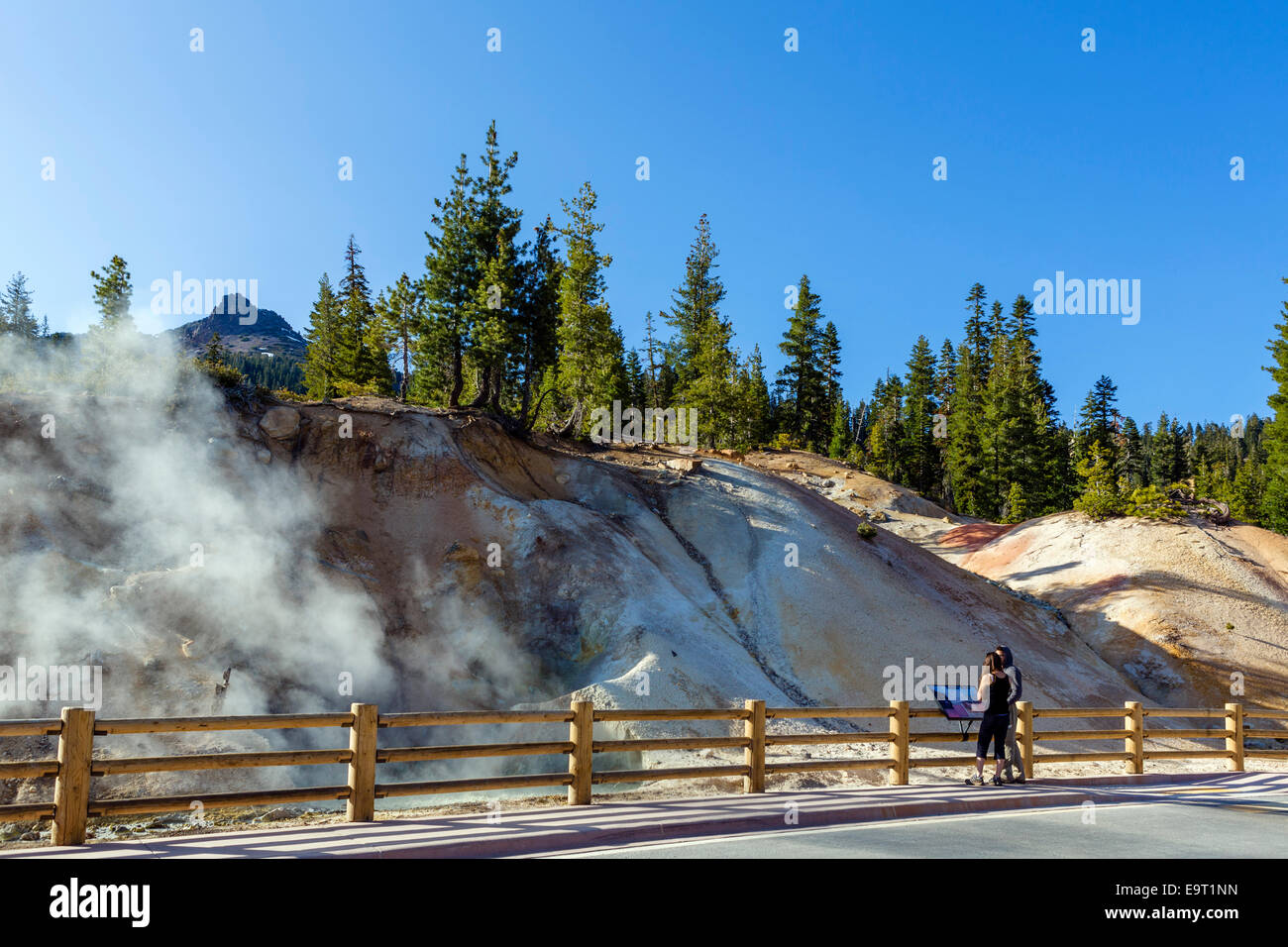 Heiße Quellen und Fumarolen im Schwefel funktioniert Geothermie Bereich, Lassen Volcanic National Park, Kalifornien, USA Stockfotohttps://www.alamy.de/image-license-details/?v=1https://www.alamy.de/stockfoto-heisse-quellen-und-fumarolen-im-schwefel-funktioniert-geothermie-bereich-lassen-volcanic-national-park-kalifornien-usa-74901617.html
RME9T1NN–Heiße Quellen und Fumarolen im Schwefel funktioniert Geothermie Bereich, Lassen Volcanic National Park, Kalifornien, USA
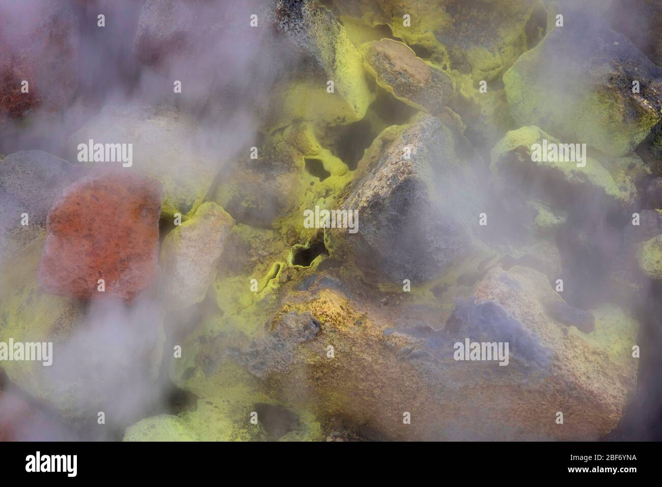 Geothermiegebiet Insel Hverir, Hveraroend, Myvatn-aera, Island Stockfotohttps://www.alamy.de/image-license-details/?v=1https://www.alamy.de/geothermiegebiet-insel-hverir-hveraroend-myvatn-aera-island-image353580678.html
RM2BF6YNA–Geothermiegebiet Insel Hverir, Hveraroend, Myvatn-aera, Island
 Wüst geothermische Gebiet in der Nähe von Mývatn, Hverir in Island Stockfotohttps://www.alamy.de/image-license-details/?v=1https://www.alamy.de/stockfoto-wust-geothermische-gebiet-in-der-nahe-von-mvatn-hverir-in-island-162792989.html
RMKCRT39–Wüst geothermische Gebiet in der Nähe von Mývatn, Hverir in Island
 Schlamm-Topf geothermische Gebiet Leirhnjukur Stockfotohttps://www.alamy.de/image-license-details/?v=1https://www.alamy.de/stockfoto-schlamm-topf-geothermische-gebiet-leirhnjukur-18372991.html
RMB1TXX7–Schlamm-Topf geothermische Gebiet Leirhnjukur
 Wanderer durchqueren farbenfrohe Berge im geothermischen Gebiet Kerlingarfjöll. Stockfotohttps://www.alamy.de/image-license-details/?v=1https://www.alamy.de/wanderer-durchqueren-farbenfrohe-berge-im-geothermischen-gebiet-kerlingarfjoll-image455799198.html
RM2HDFCEP–Wanderer durchqueren farbenfrohe Berge im geothermischen Gebiet Kerlingarfjöll.
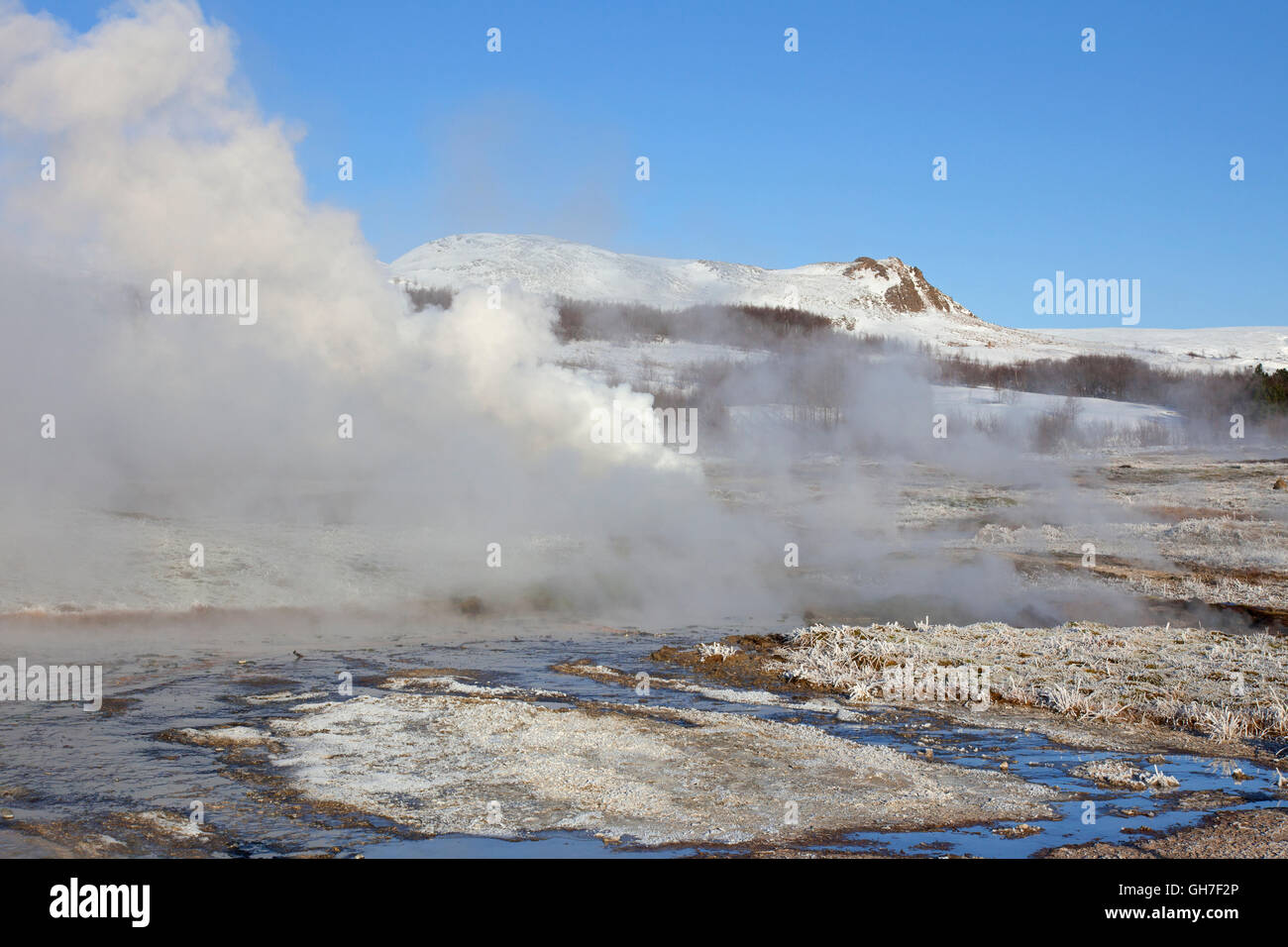 Geothermische Gebiet der Geysir im Haukadalur Tal, Sudurland, Island Stockfotohttps://www.alamy.de/image-license-details/?v=1https://www.alamy.de/stockfoto-geothermische-gebiet-der-geysir-im-haukadalur-tal-sudurland-island-113876862.html
RMGH7F2P–Geothermische Gebiet der Geysir im Haukadalur Tal, Sudurland, Island
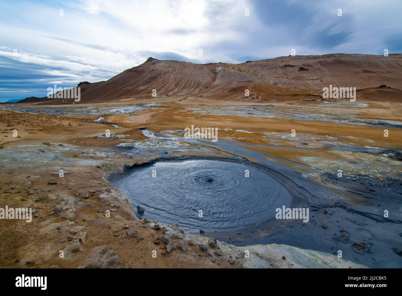 Myvatn Geothermie Gebiet Stockfotohttps://www.alamy.de/image-license-details/?v=1https://www.alamy.de/myvatn-geothermie-gebiet-image466181833.html
RF2J2CBK5–Myvatn Geothermie Gebiet
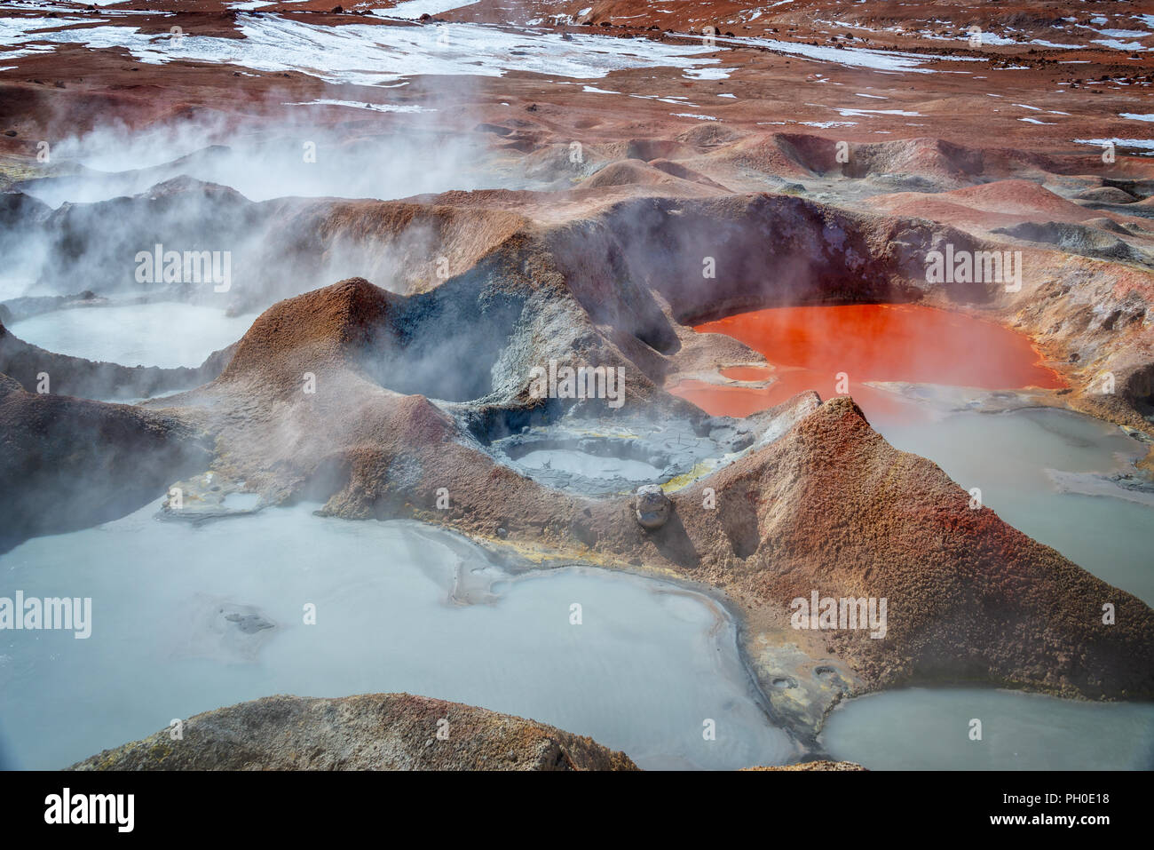 Sol de Manana, Geysire und geothermischen Bereich in Sur Lipez Provinz, Potosi, Bolivien Stockfotohttps://www.alamy.de/image-license-details/?v=1https://www.alamy.de/sol-de-manana-geysire-und-geothermischen-bereich-in-sur-lipez-provinz-potosi-bolivien-image216984580.html
RFPH0E18–Sol de Manana, Geysire und geothermischen Bereich in Sur Lipez Provinz, Potosi, Bolivien
 Rauchen Schwefel hotpool, Hverir geothermale Region Norðurland Eystra,, Island, Europa. Stockfotohttps://www.alamy.de/image-license-details/?v=1https://www.alamy.de/rauchen-schwefel-hotpool-hverir-geothermale-region-norurland-eystra-island-europa-image178372580.html
RMMA5G18–Rauchen Schwefel hotpool, Hverir geothermale Region Norðurland Eystra,, Island, Europa.
 Schauen Sie in die Schlucht Ásgarðsgljúfur in der Nähe des geothermischen Kerlingarfjöll, Insel, Island, Europa, Europa Stockfotohttps://www.alamy.de/image-license-details/?v=1https://www.alamy.de/stockfoto-schauen-sie-in-die-schlucht-sgarsgljfur-in-der-nahe-des-geothermischen-kerlingarfjoll-insel-island-europa-europa-34300225.html
RMBYPE81–Schauen Sie in die Schlucht Ásgarðsgljúfur in der Nähe des geothermischen Kerlingarfjöll, Insel, Island, Europa, Europa
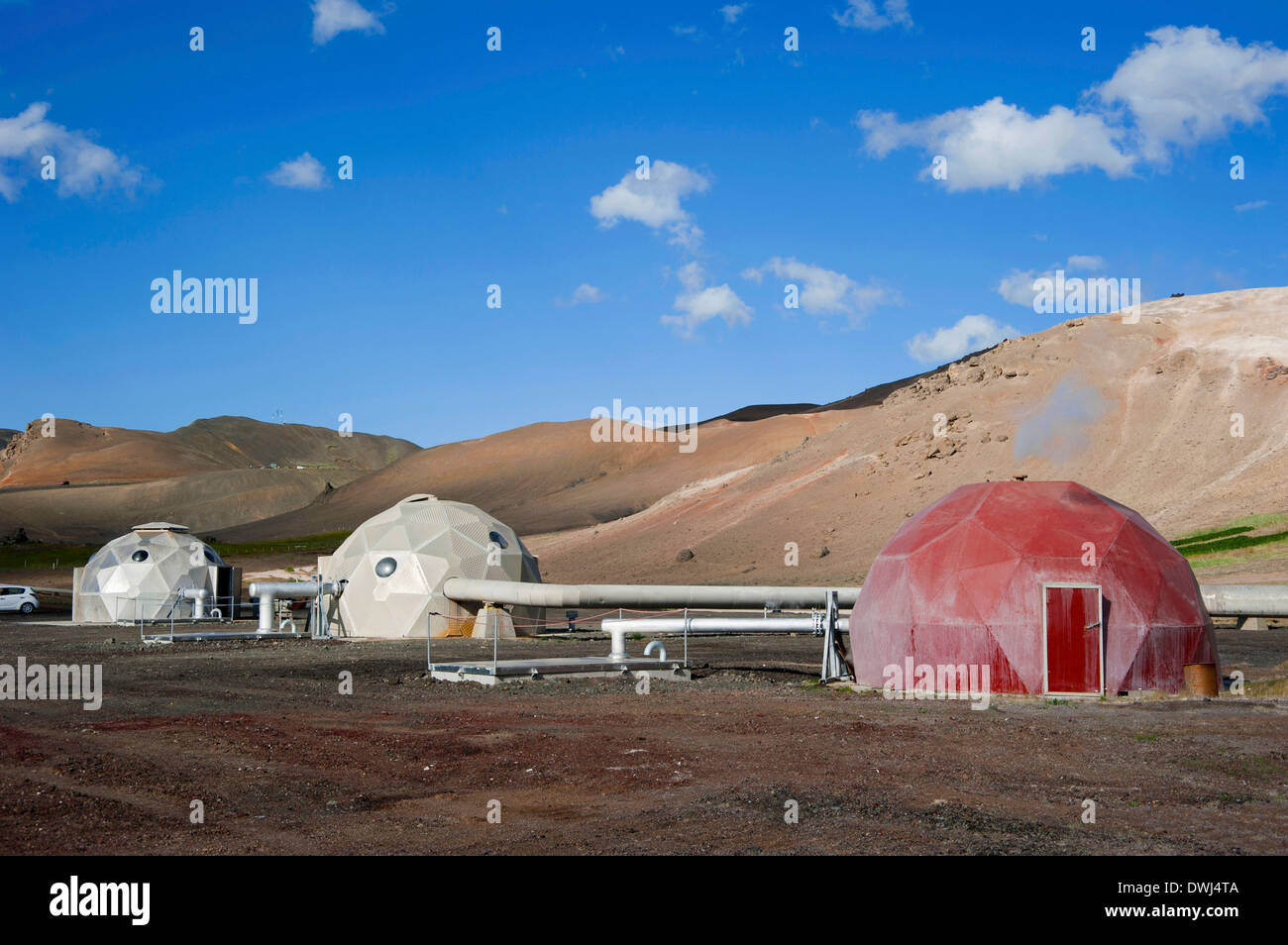 Geothermie-Bereich Stockfotohttps://www.alamy.de/image-license-details/?v=1https://www.alamy.de/geothermie-bereich-image67396458.html
RMDWJ4TA–Geothermie-Bereich
 Mehrfarbige Muster auf geothermaler Fläche, Island Stockfotohttps://www.alamy.de/image-license-details/?v=1https://www.alamy.de/mehrfarbige-muster-auf-geothermaler-flache-island-image468575230.html
RF2J69CDJ–Mehrfarbige Muster auf geothermaler Fläche, Island
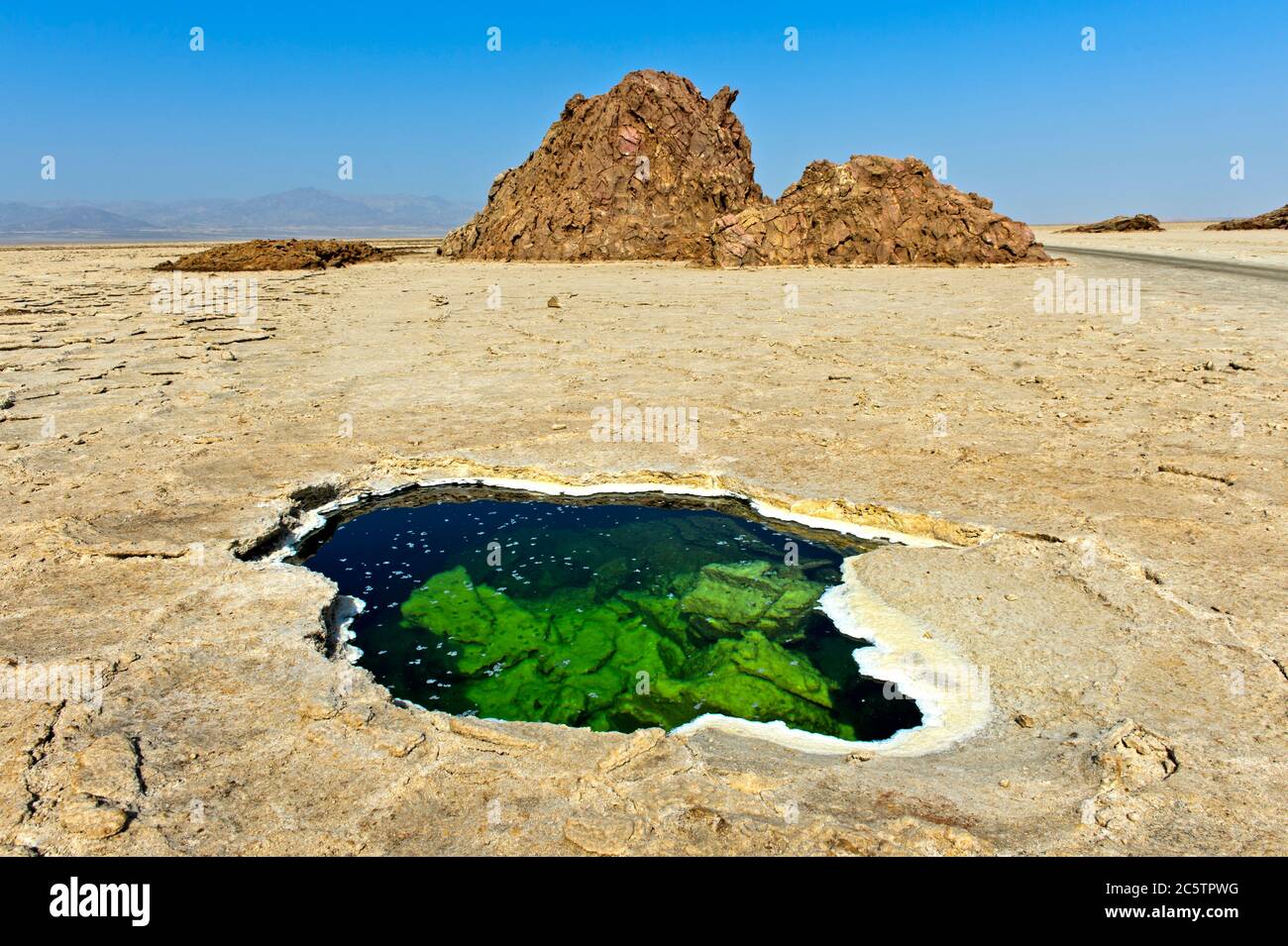 Wasserloch mit flockigen Salzkristallen in der Salzkruste des Assale Sees oder des Karumsees, Dalol Geothermie Gebiet, Danakil Depression Äthiopien Stockfotohttps://www.alamy.de/image-license-details/?v=1https://www.alamy.de/wasserloch-mit-flockigen-salzkristallen-in-der-salzkruste-des-assale-sees-oder-des-karumsees-dalol-geothermie-gebiet-danakil-depression-athiopien-image365035820.html
RM2C5TPWG–Wasserloch mit flockigen Salzkristallen in der Salzkruste des Assale Sees oder des Karumsees, Dalol Geothermie Gebiet, Danakil Depression Äthiopien
 Menschen Baden geothermische Gebiet Landmannalaugar - Stockfotohttps://www.alamy.de/image-license-details/?v=1https://www.alamy.de/stockfoto-menschen-baden-geothermische-gebiet-landmannalaugar-39054210.html
RMC7F216–Menschen Baden geothermische Gebiet Landmannalaugar -
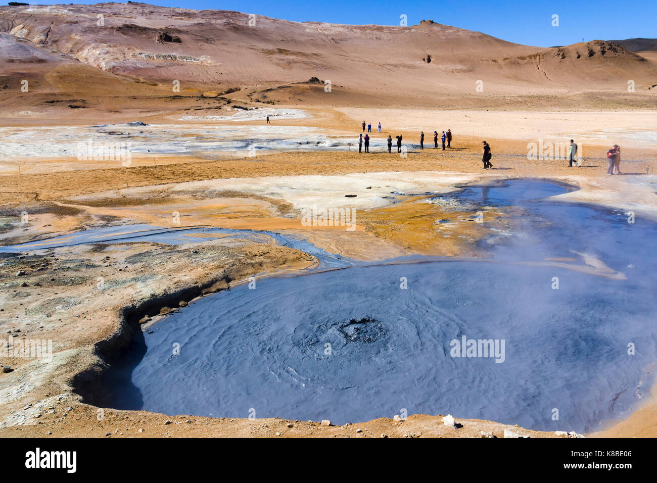 Sprudelnder Schlammkessel im Geothermiegebiet Námafjall Hverir, Island Stockfotohttps://www.alamy.de/image-license-details/?v=1https://www.alamy.de/stockfoto-sprudelnder-schlammkessel-im-geothermiegebiet-nmafjall-hverir-island-160063014.html
RMK8BE06–Sprudelnder Schlammkessel im Geothermiegebiet Námafjall Hverir, Island
 Lone Star Geyser Geyserite Kegel, dritte Geyser Basin geothermische Gebiet, Yellowstone Caldera, Yellowstone-Nationalpark, Wyoming. Stockfotohttps://www.alamy.de/image-license-details/?v=1https://www.alamy.de/stockfoto-lone-star-geyser-geyserite-kegel-dritte-geyser-basin-geothermische-gebiet-yellowstone-caldera-yellowstone-nationalpark-wyoming-41626674.html
RFCBM76X–Lone Star Geyser Geyserite Kegel, dritte Geyser Basin geothermische Gebiet, Yellowstone Caldera, Yellowstone-Nationalpark, Wyoming.
 Namafjall geothermische Gebiet in Island, Europa Stockfotohttps://www.alamy.de/image-license-details/?v=1https://www.alamy.de/namafjall-geothermische-gebiet-in-island-europa-image242551670.html
RFT2H53J–Namafjall geothermische Gebiet in Island, Europa
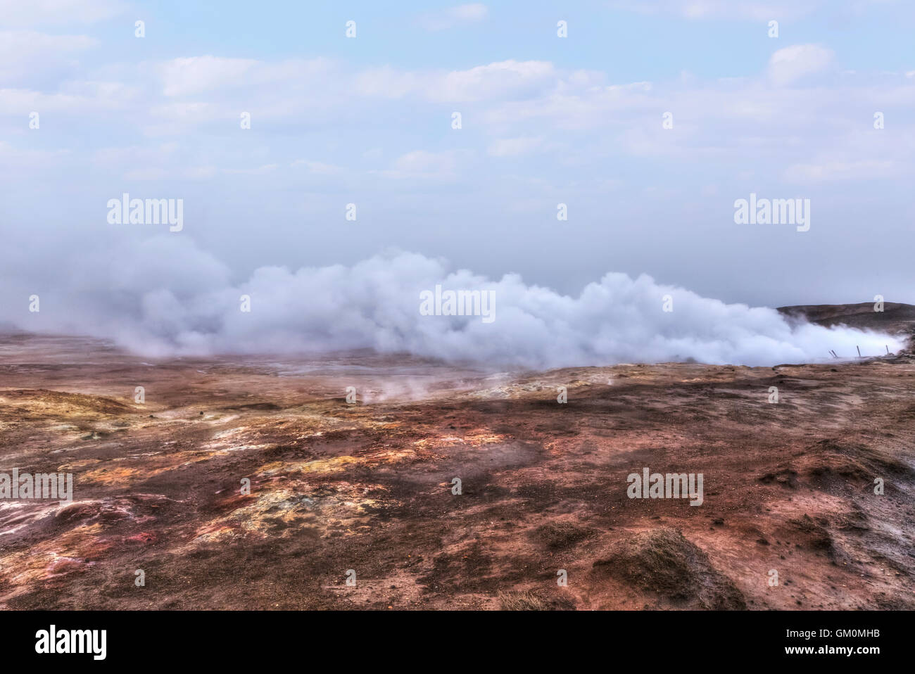 geothermische Gebiet Gunnuhver, Reykjanes, Grindavik, Island Stockfotohttps://www.alamy.de/image-license-details/?v=1https://www.alamy.de/stockfoto-geothermische-gebiet-gunnuhver-reykjanes-grindavik-island-115571495.html
RFGM0MHB–geothermische Gebiet Gunnuhver, Reykjanes, Grindavik, Island
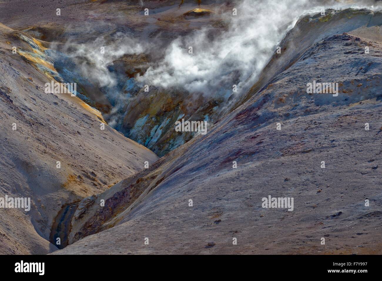 Geothermische Gebiet steigt Dampf, Namafjall, Myvatn, Island Stockfotohttps://www.alamy.de/image-license-details/?v=1https://www.alamy.de/stockfoto-geothermische-gebiet-steigt-dampf-namafjall-myvatn-island-90954451.html
RFF7Y997–Geothermische Gebiet steigt Dampf, Namafjall, Myvatn, Island
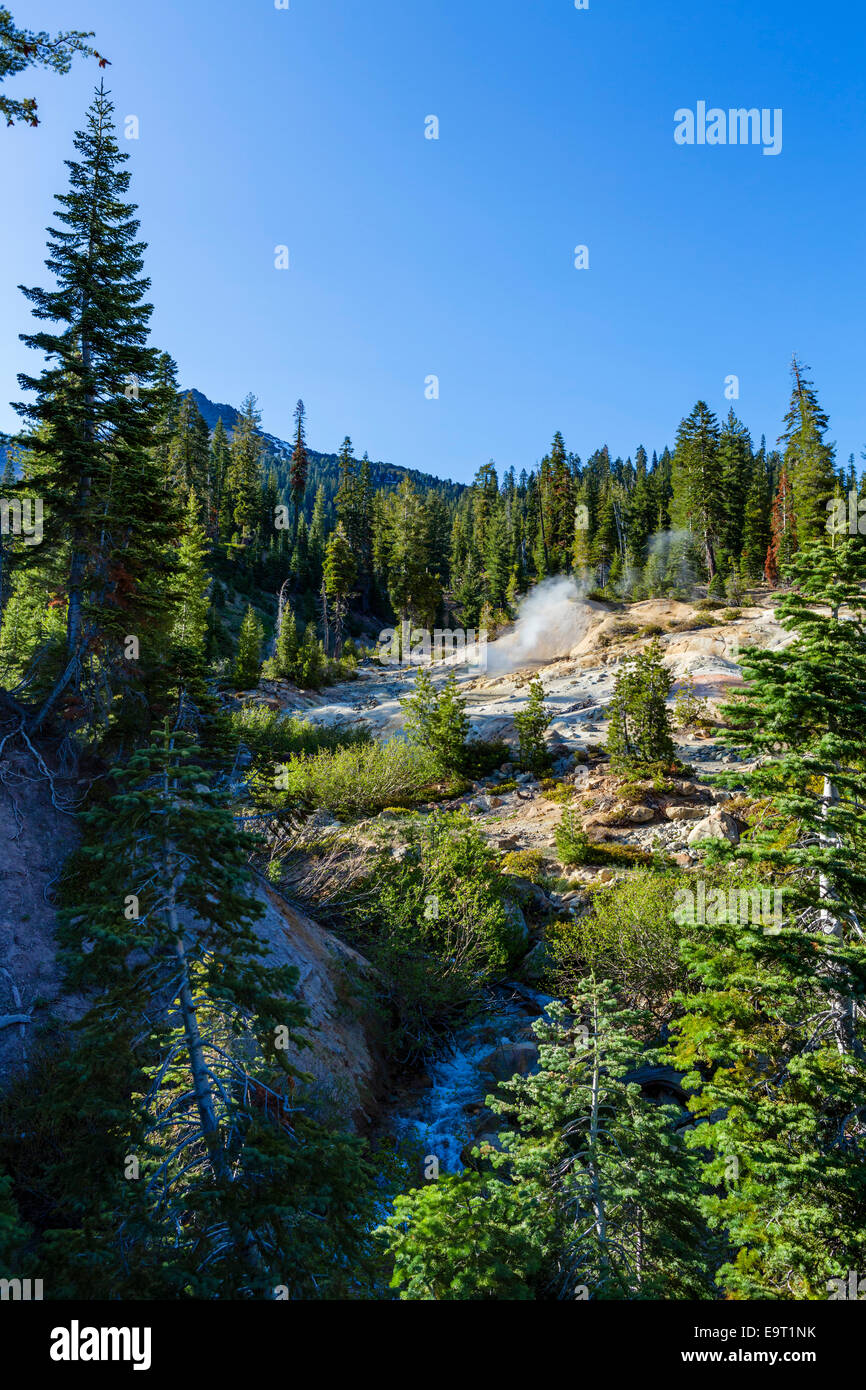 Heiße Quellen und Fumarolen im Schwefel funktioniert Geothermie Bereich, Lassen Volcanic National Park, Kalifornien, USA Stockfotohttps://www.alamy.de/image-license-details/?v=1https://www.alamy.de/stockfoto-heisse-quellen-und-fumarolen-im-schwefel-funktioniert-geothermie-bereich-lassen-volcanic-national-park-kalifornien-usa-74901615.html
RME9T1NK–Heiße Quellen und Fumarolen im Schwefel funktioniert Geothermie Bereich, Lassen Volcanic National Park, Kalifornien, USA
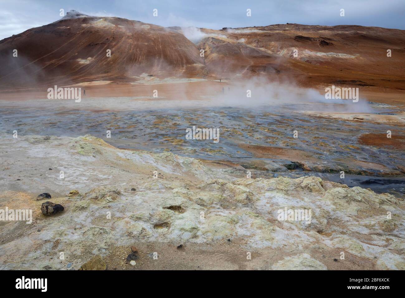 Geothermiegebiet Insel Hverir, Hveraroend, Myvatn-aera, Island Stockfotohttps://www.alamy.de/image-license-details/?v=1https://www.alamy.de/geothermiegebiet-insel-hverir-hveraroend-myvatn-aera-island-image353579651.html
RM2BF6XCK–Geothermiegebiet Insel Hverir, Hveraroend, Myvatn-aera, Island
 Geothermische Bereich Hverir, Namafjall, Island Stockfotohttps://www.alamy.de/image-license-details/?v=1https://www.alamy.de/geothermische-bereich-hverir-namafjall-island-image227926714.html
RMR6PXRP–Geothermische Bereich Hverir, Namafjall, Island
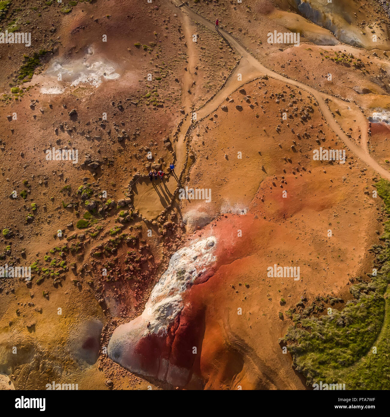 Seltun, Geothermie, Krysuvik Island Seltun ist ein geothermisches Gebiet mit sprudelnden heißen Quellen, Schlammtöpfe und vulkanischen Schloten oder solfataren. Stockfotohttps://www.alamy.de/image-license-details/?v=1https://www.alamy.de/seltun-geothermie-krysuvik-island-seltun-ist-ein-geothermisches-gebiet-mit-sprudelnden-heissen-quellen-schlammtopfe-und-vulkanischen-schloten-oder-solfataren-image221501883.html
RMPTA7WF–Seltun, Geothermie, Krysuvik Island Seltun ist ein geothermisches Gebiet mit sprudelnden heißen Quellen, Schlammtöpfe und vulkanischen Schloten oder solfataren.
 Heißdampf-Schlot im geothermischen Gebiet von Hveravelir im isländischen Hochland. Stockfotohttps://www.alamy.de/image-license-details/?v=1https://www.alamy.de/heissdampf-schlot-im-geothermischen-gebiet-von-hveravelir-im-islandischen-hochland-image453014699.html
RM2H90GTB–Heißdampf-Schlot im geothermischen Gebiet von Hveravelir im isländischen Hochland.
 Dusche mit heißem Wasser in Krafla, Vulkankaldera im Geothermalgebiet Myvatn im Sommer, Nordisland Stockfotohttps://www.alamy.de/image-license-details/?v=1https://www.alamy.de/dusche-mit-heissem-wasser-in-krafla-vulkankaldera-im-geothermalgebiet-myvatn-im-sommer-nordisland-image428207935.html
RM2FTJFGF–Dusche mit heißem Wasser in Krafla, Vulkankaldera im Geothermalgebiet Myvatn im Sommer, Nordisland
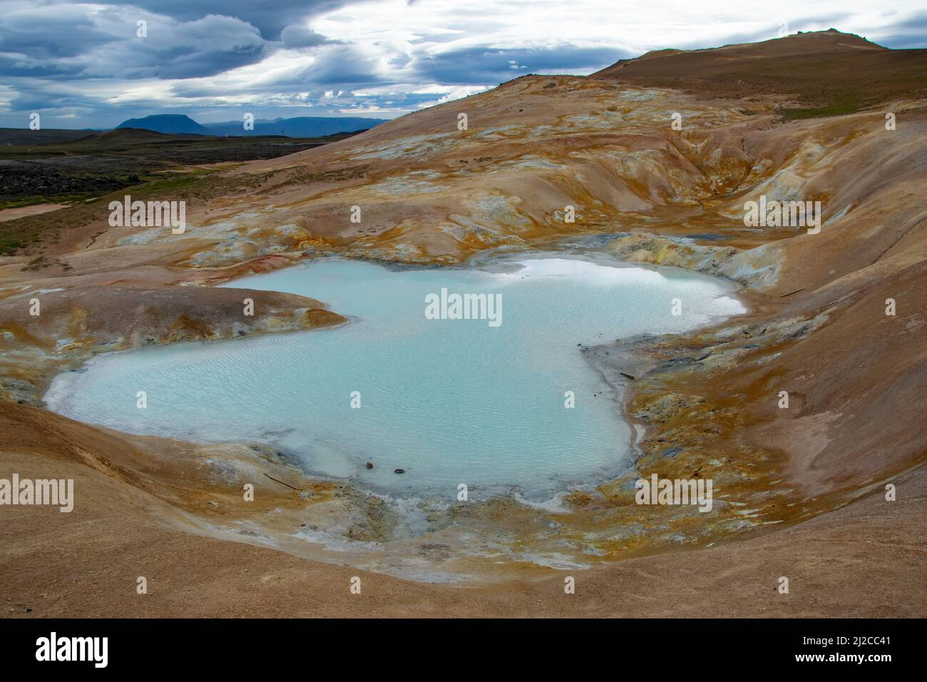 Myvatn Geothermie Gebiet Stockfotohttps://www.alamy.de/image-license-details/?v=1https://www.alamy.de/myvatn-geothermie-gebiet-image466182193.html
RF2J2CC41–Myvatn Geothermie Gebiet
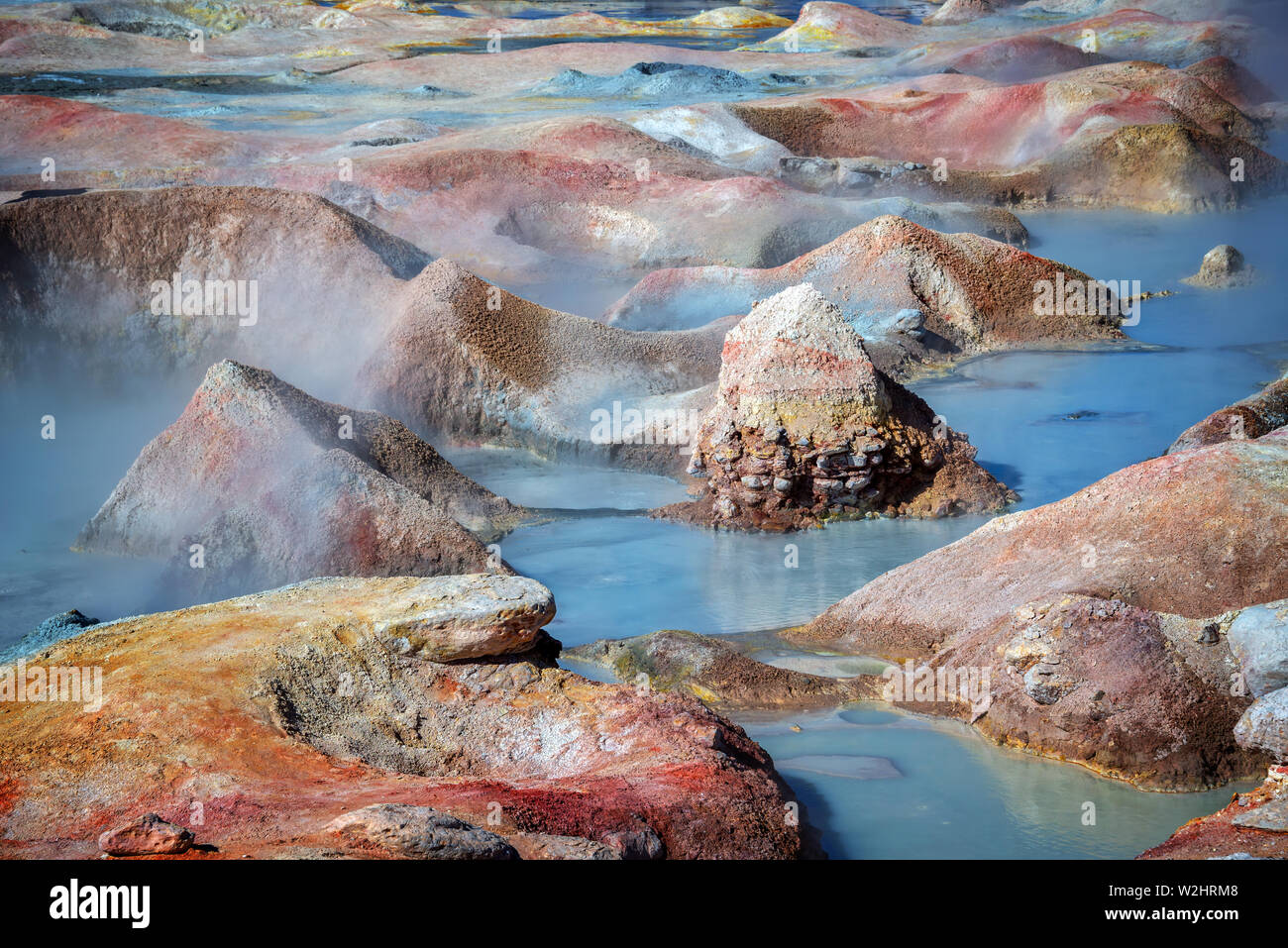 Sol de Manana, Geysire und geothermischen Bereich in Sur Lipez Provinz, Potosi, Bolivien Stockfotohttps://www.alamy.de/image-license-details/?v=1https://www.alamy.de/sol-de-manana-geysire-und-geothermischen-bereich-in-sur-lipez-provinz-potosi-bolivien-image259776616.html
RFW2HRM8–Sol de Manana, Geysire und geothermischen Bereich in Sur Lipez Provinz, Potosi, Bolivien
 Krafla, Hverir geothermale Region, Nordurland eystra, Norther Island, Island Stockfotohttps://www.alamy.de/image-license-details/?v=1https://www.alamy.de/krafla-hverir-geothermale-region-nordurland-eystra-norther-island-island-image221314893.html
RFPT1NB9–Krafla, Hverir geothermale Region, Nordurland eystra, Norther Island, Island
 Schauen Sie in die Schlucht Ásgarðsgljúfur in der Nähe des geothermischen Kerlingarfjöll, Insel, Island, Europa, Europa Stockfotohttps://www.alamy.de/image-license-details/?v=1https://www.alamy.de/stockfoto-schauen-sie-in-die-schlucht-sgarsgljfur-in-der-nahe-des-geothermischen-kerlingarfjoll-insel-island-europa-europa-34300199.html
RMBYPE73–Schauen Sie in die Schlucht Ásgarðsgljúfur in der Nähe des geothermischen Kerlingarfjöll, Insel, Island, Europa, Europa
 Geothermie-Bereich Stockfotohttps://www.alamy.de/image-license-details/?v=1https://www.alamy.de/geothermie-bereich-image67396472.html
RMDWJ4TT–Geothermie-Bereich
 Gunnuhver geothermische Gebiet heißen Quellen einsteigen Reykjanes Island Stockfotohttps://www.alamy.de/image-license-details/?v=1https://www.alamy.de/stockfoto-gunnuhver-geothermische-gebiet-heissen-quellen-einsteigen-reykjanes-island-96624084.html
RMFH5H04–Gunnuhver geothermische Gebiet heißen Quellen einsteigen Reykjanes Island
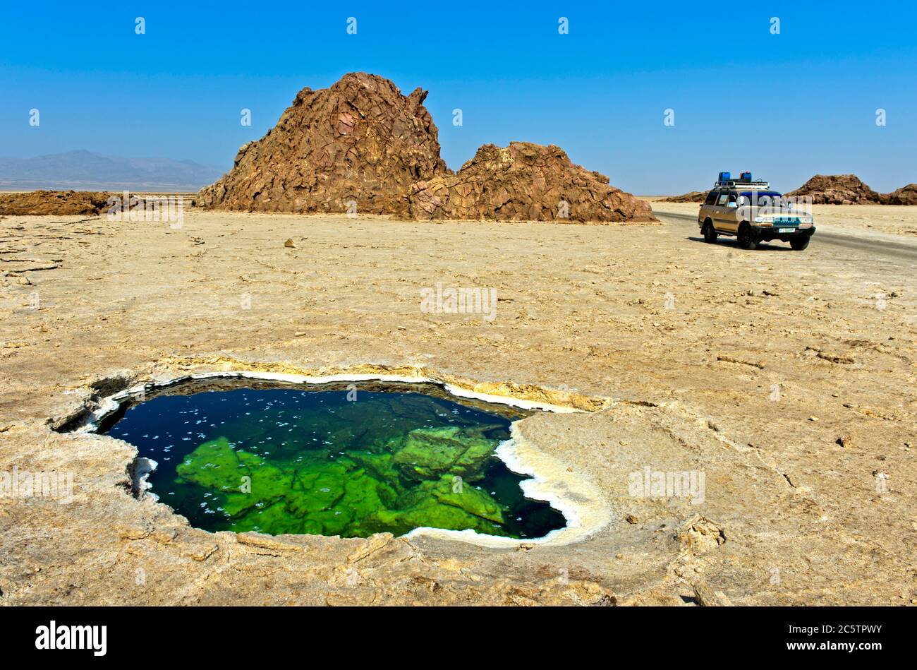 Wasserloch mit flockigen Salzkristallen in der Salzkruste des Assale Sees oder des Karumsees, Dalol Geothermie Gebiet, Danakil Depression Äthiopien Stockfotohttps://www.alamy.de/image-license-details/?v=1https://www.alamy.de/wasserloch-mit-flockigen-salzkristallen-in-der-salzkruste-des-assale-sees-oder-des-karumsees-dalol-geothermie-gebiet-danakil-depression-athiopien-image365035831.html
RM2C5TPWY–Wasserloch mit flockigen Salzkristallen in der Salzkruste des Assale Sees oder des Karumsees, Dalol Geothermie Gebiet, Danakil Depression Äthiopien
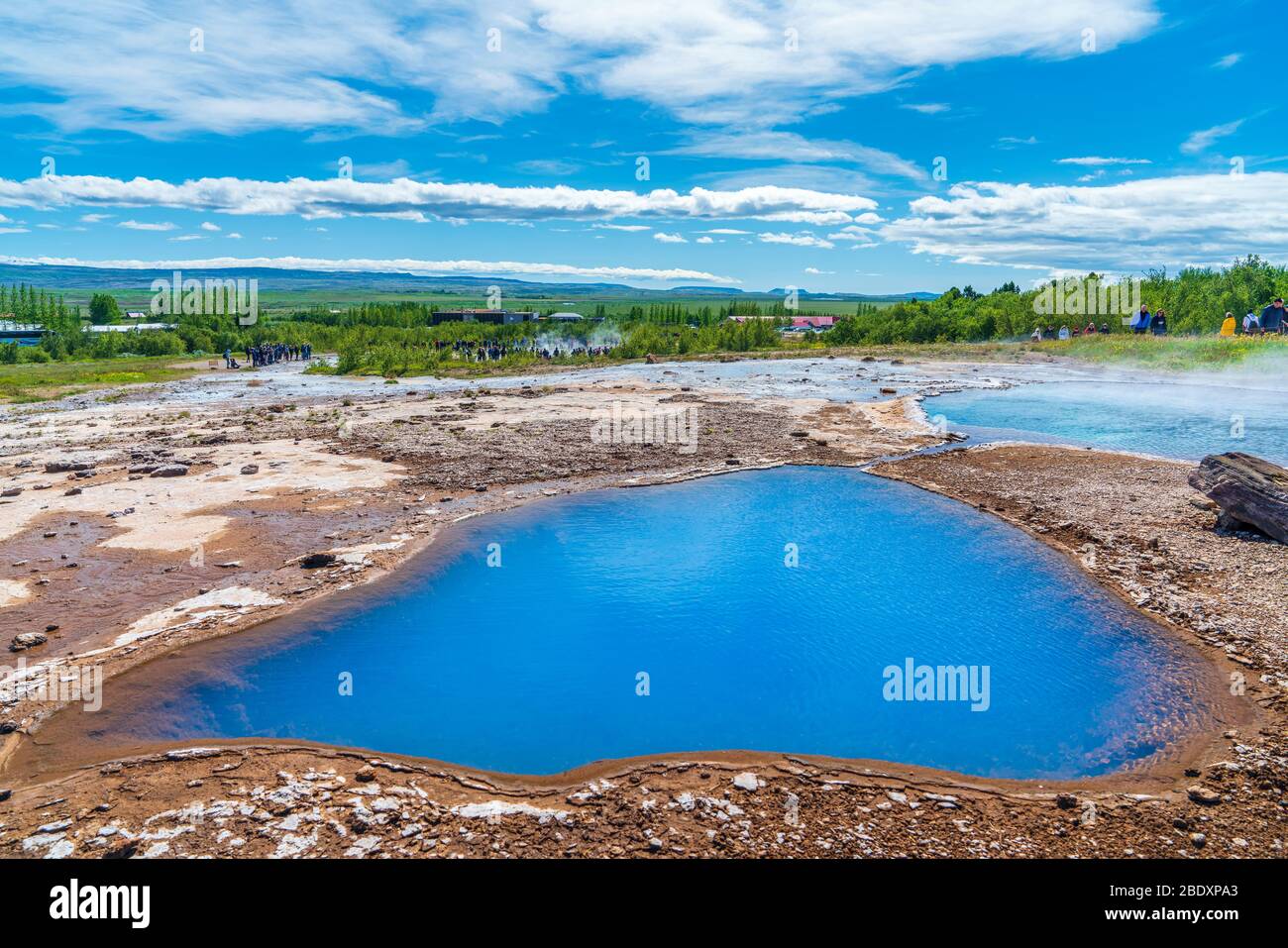 Blesi in einem geothermischen Gebiet am Fluss Hvítá, Südregion, Island Stockfotohttps://www.alamy.de/image-license-details/?v=1https://www.alamy.de/blesi-in-einem-geothermischen-gebiet-am-fluss-hvt-sudregion-island-image352786171.html
RM2BDXPA3–Blesi in einem geothermischen Gebiet am Fluss Hvítá, Südregion, Island
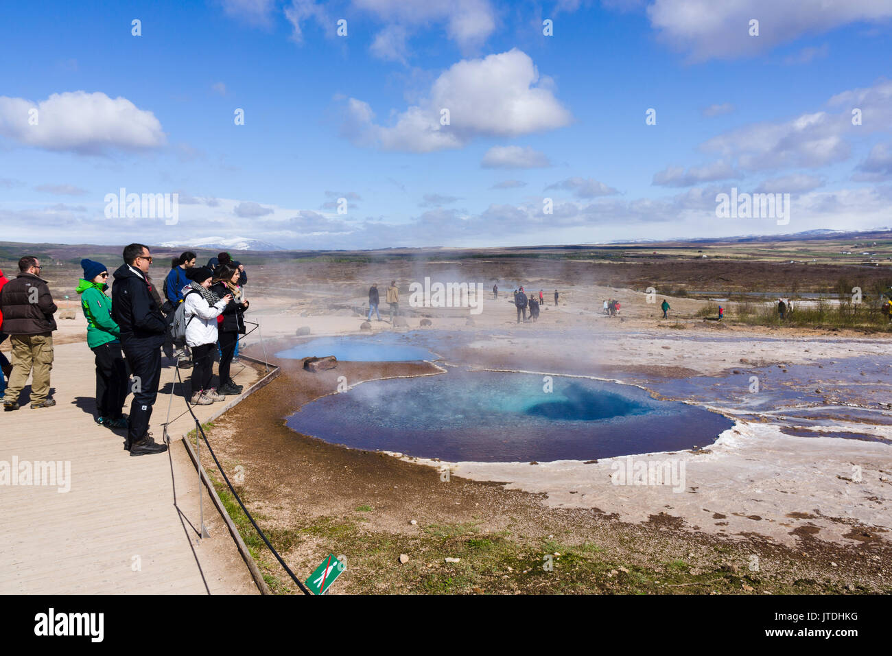 Touristen das Anzeigen einer Schlamm Topf im Geysir geothermische Gebiet, Island Stockfotohttps://www.alamy.de/image-license-details/?v=1https://www.alamy.de/touristen-das-anzeigen-einer-schlamm-topf-im-geysir-geothermische-gebiet-island-image152733940.html
RMJTDHKG–Touristen das Anzeigen einer Schlamm Topf im Geysir geothermische Gebiet, Island
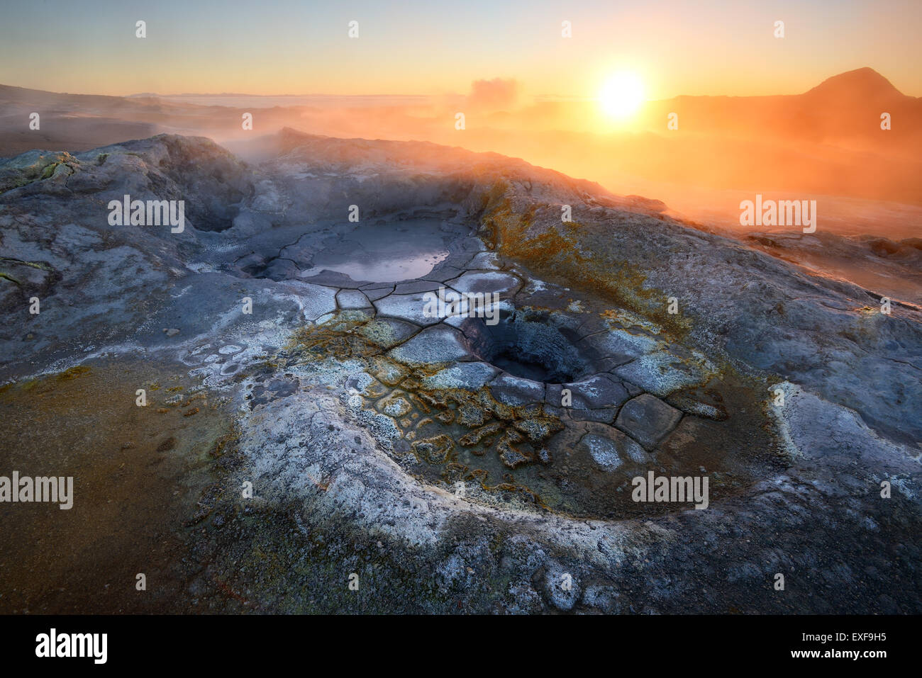 Namafjall geothermische Gebiet, Island Stockfotohttps://www.alamy.de/image-license-details/?v=1https://www.alamy.de/stockfoto-namafjall-geothermische-gebiet-island-85159345.html
RFEXF9H5–Namafjall geothermische Gebiet, Island
 Namafjall geothermische Gebiet in Island, Europa Stockfotohttps://www.alamy.de/image-license-details/?v=1https://www.alamy.de/namafjall-geothermische-gebiet-in-island-europa-image242551676.html
RFT2H53T–Namafjall geothermische Gebiet in Island, Europa
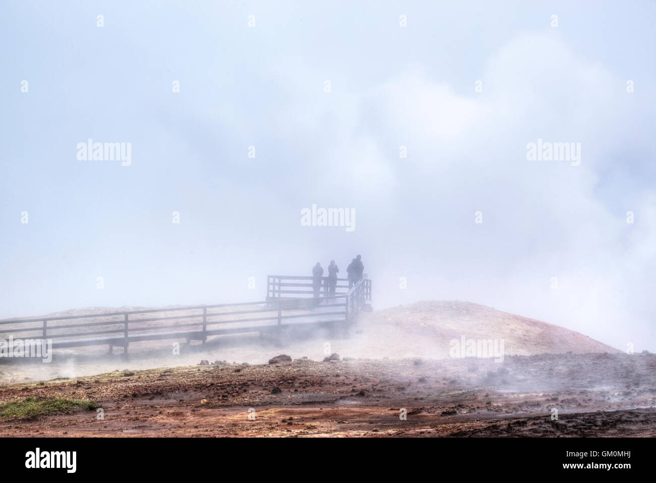 geothermische Gebiet Gunnuhver, Reykjanes, Grindavik, Island Stockfotohttps://www.alamy.de/image-license-details/?v=1https://www.alamy.de/stockfoto-geothermische-gebiet-gunnuhver-reykjanes-grindavik-island-115571502.html
RFGM0MHJ–geothermische Gebiet Gunnuhver, Reykjanes, Grindavik, Island
 Aufsteigendem Dampf, geothermische Bereich am See Mývatn in Nordisland, Europa Stockfotohttps://www.alamy.de/image-license-details/?v=1https://www.alamy.de/aufsteigendem-dampf-geothermische-bereich-am-see-mvatn-in-nordisland-europa-image62068832.html
RMDGYDC0–Aufsteigendem Dampf, geothermische Bereich am See Mývatn in Nordisland, Europa
 Mehrfarbige Muster auf geothermaler Fläche, Island Stockfotohttps://www.alamy.de/image-license-details/?v=1https://www.alamy.de/mehrfarbige-muster-auf-geothermaler-flache-island-image468575209.html
RF2J69CCW–Mehrfarbige Muster auf geothermaler Fläche, Island
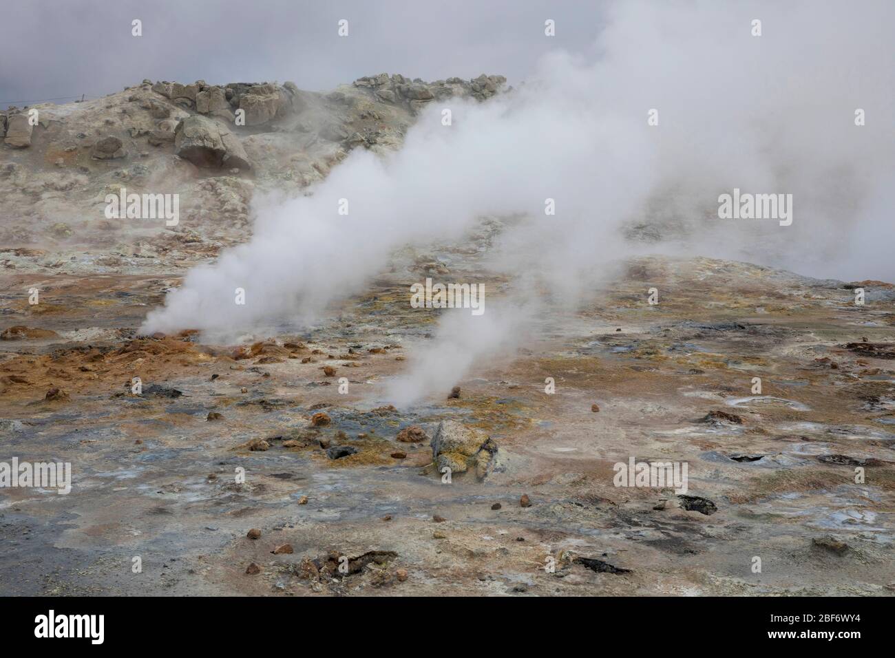 Geothermiegebiet Insel Hverir, Hveraroend, Myvatn-aera, Island Stockfotohttps://www.alamy.de/image-license-details/?v=1https://www.alamy.de/geothermiegebiet-insel-hverir-hveraroend-myvatn-aera-island-image353579272.html
RM2BF6WY4–Geothermiegebiet Insel Hverir, Hveraroend, Myvatn-aera, Island
 Touristen zu Fuß rund bei der geothermischen Bereich Hverir, Namafjall, Island suchen Stockfotohttps://www.alamy.de/image-license-details/?v=1https://www.alamy.de/touristen-zu-fuss-rund-bei-der-geothermischen-bereich-hverir-namafjall-island-suchen-image227926668.html
RMR6PXP4–Touristen zu Fuß rund bei der geothermischen Bereich Hverir, Namafjall, Island suchen