Geothermiegebiet hverir namafjall Stockfotos & Bilder
(2,525)geothermiegebiet hverir namafjall-Stockvideoclips ansehenSchnellfilter:
Geothermiegebiet hverir namafjall Stockfotos & Bilder
 Námafjall Hverir Geothermiegebiet, Island Stockfotohttps://www.alamy.de/image-license-details/?v=1https://www.alamy.de/stockfoto-nmafjall-hverir-geothermiegebiet-island-160063166.html
RMK8BE5J–Námafjall Hverir Geothermiegebiet, Island
 Námafjall, Namafjall, Hverir bei Myvatn, Hochtemperaturgebiet, Geothermalgebiet, Hverarönd, Thermalquellen, Thermalquelle. Im Hochtemperaturgebiet Stockfotohttps://www.alamy.de/image-license-details/?v=1https://www.alamy.de/nmafjall-namafjall-hverir-bei-myvatn-hochtemperaturgebiet-geothermalgebiet-hverarond-thermalquellen-thermalquelle-im-hochtemperaturgebiet-image341906758.html
RM2AT75FJ–Námafjall, Namafjall, Hverir bei Myvatn, Hochtemperaturgebiet, Geothermalgebiet, Hverarönd, Thermalquellen, Thermalquelle. Im Hochtemperaturgebiet
 Myvatn Namafjall Hverir geothermale Region im Nordosten Islands. Stockfotohttps://www.alamy.de/image-license-details/?v=1https://www.alamy.de/myvatn-namafjall-hverir-geothermale-region-im-nordosten-islands-image338577277.html
RF2AJRENH–Myvatn Namafjall Hverir geothermale Region im Nordosten Islands.
 Geothermische Bereich Hverir, Namafjall, Island Stockfotohttps://www.alamy.de/image-license-details/?v=1https://www.alamy.de/geothermische-bereich-hverir-namafjall-island-image227926714.html
RMR6PXRP–Geothermische Bereich Hverir, Namafjall, Island
 Dampfender Schlammvulkan, Schlammkuppel im Hochtemperaturgebiet Namafjall Hverir Geothermie Gebiet in der Region Myvatn, Skutustaoir, Norourland eystra Stockfotohttps://www.alamy.de/image-license-details/?v=1https://www.alamy.de/dampfender-schlammvulkan-schlammkuppel-im-hochtemperaturgebiet-namafjall-hverir-geothermie-gebiet-in-der-region-myvatn-skutustaoir-norourland-eystra-image385282293.html
RF2DAR3DW–Dampfender Schlammvulkan, Schlammkuppel im Hochtemperaturgebiet Namafjall Hverir Geothermie Gebiet in der Region Myvatn, Skutustaoir, Norourland eystra
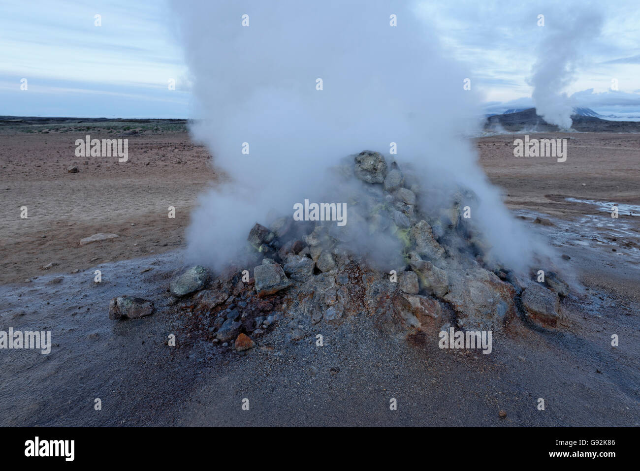 Solfatara, geothermische Gebiet Hverir, Namafjall, Myvatn Gebiet, Island, Europa Stockfotohttps://www.alamy.de/image-license-details/?v=1https://www.alamy.de/stockfoto-solfatara-geothermische-gebiet-hverir-namafjall-myvatn-gebiet-island-europa-108853142.html
RMG92K86–Solfatara, geothermische Gebiet Hverir, Namafjall, Myvatn Gebiet, Island, Europa
 Island. Dampfende Pools und Schlammtöpfe. Die Namafjall (Hverir) Geothermie Gebiet. Stockfotohttps://www.alamy.de/image-license-details/?v=1https://www.alamy.de/island-dampfende-pools-und-schlammtopfe-die-namafjall-hverir-geothermie-gebiet-image369435206.html
RF2CD16AE–Island. Dampfende Pools und Schlammtöpfe. Die Namafjall (Hverir) Geothermie Gebiet.
 Sonnenaufgang an der geothermischen Bereich Namafjall Hverir. Stockfotohttps://www.alamy.de/image-license-details/?v=1https://www.alamy.de/sonnenaufgang-an-der-geothermischen-bereich-namafjall-hverir-image186959839.html
RMMT4N53–Sonnenaufgang an der geothermischen Bereich Namafjall Hverir.
 Eine Landschaft von Námafjall Geothermal Area in Hverir, Island in der Dämmerung Stockfotohttps://www.alamy.de/image-license-details/?v=1https://www.alamy.de/eine-landschaft-von-nmafjall-geothermal-area-in-hverir-island-in-der-dammerung-image341509163.html
RF2ARH2BR–Eine Landschaft von Námafjall Geothermal Area in Hverir, Island in der Dämmerung
 Dampfende Fumarole bei Hverir, Geothermie-Gebiet in der Nähe von Námafjall, Norðurland eystra / Nordurland eystra, Island Stockfotohttps://www.alamy.de/image-license-details/?v=1https://www.alamy.de/stockfoto-dampfende-fumarole-bei-hverir-geothermie-gebiet-in-der-nahe-von-nmafjall-norurland-eystra-nordurland-eystra-island-165160635.html
RMKGKM23–Dampfende Fumarole bei Hverir, Geothermie-Gebiet in der Nähe von Námafjall, Norðurland eystra / Nordurland eystra, Island
 Namafjall Hverir geotermal Area, Island Stockfotohttps://www.alamy.de/image-license-details/?v=1https://www.alamy.de/namafjall-hverir-geotermal-area-island-image431868323.html
RM2G2H8CK–Namafjall Hverir geotermal Area, Island
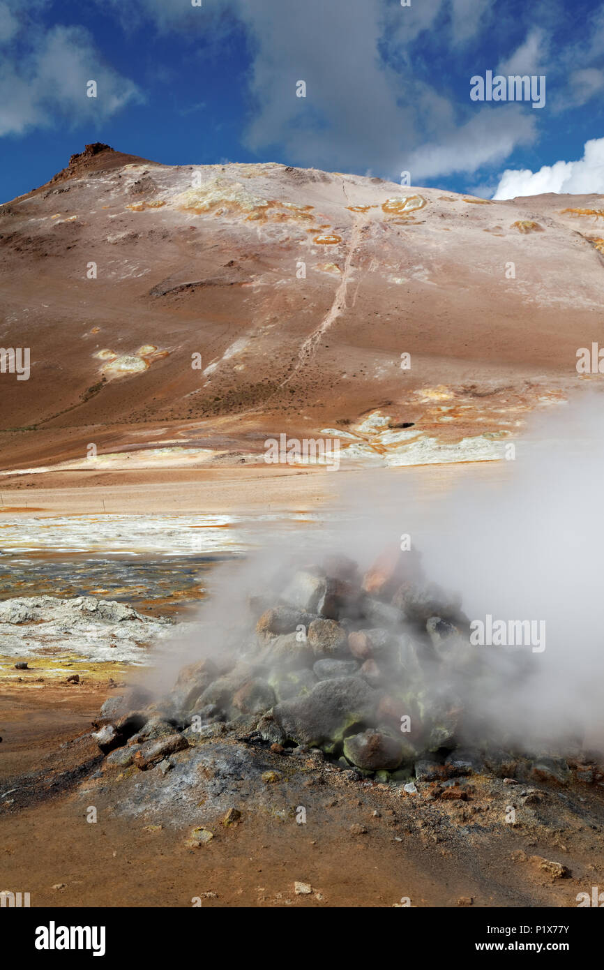 Fumarole emitting Schwefelsäure Gase, Namafjall Hverir geothermale Region, North Island, Island Stockfotohttps://www.alamy.de/image-license-details/?v=1https://www.alamy.de/fumarole-emitting-schwefelsaure-gase-namafjall-hverir-geothermale-region-north-island-island-image207715535.html
RMP1X77Y–Fumarole emitting Schwefelsäure Gase, Namafjall Hverir geothermale Region, North Island, Island
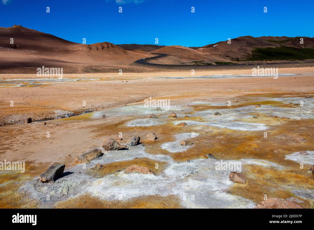 Namafjall Hverir geothermale Region Island. Stockfotohttps://www.alamy.de/image-license-details/?v=1https://www.alamy.de/namafjall-hverir-geothermale-region-island-image464985914.html
RF2J0DX7P–Namafjall Hverir geothermale Region Island.
 Die geothermische Bereich Namafjall/Hverir in der Nähe von Mývatn bei Dämmerung im Norden von Island. Stockfotohttps://www.alamy.de/image-license-details/?v=1https://www.alamy.de/die-geothermische-bereich-namafjallhverir-in-der-nahe-von-mvatn-bei-dammerung-im-norden-von-island-image220542714.html
RFPPPGDE–Die geothermische Bereich Namafjall/Hverir in der Nähe von Mývatn bei Dämmerung im Norden von Island.
 Namajfall Schlamm Topf oder Schlammbad, Namafjall, Hverir, Hverarönd, Myvatn, North Island Stockfotohttps://www.alamy.de/image-license-details/?v=1https://www.alamy.de/stockfoto-namajfall-schlamm-topf-oder-schlammbad-namafjall-hverir-hverarond-myvatn-north-island-71339936.html
RME41PPT–Namajfall Schlamm Topf oder Schlammbad, Namafjall, Hverir, Hverarönd, Myvatn, North Island
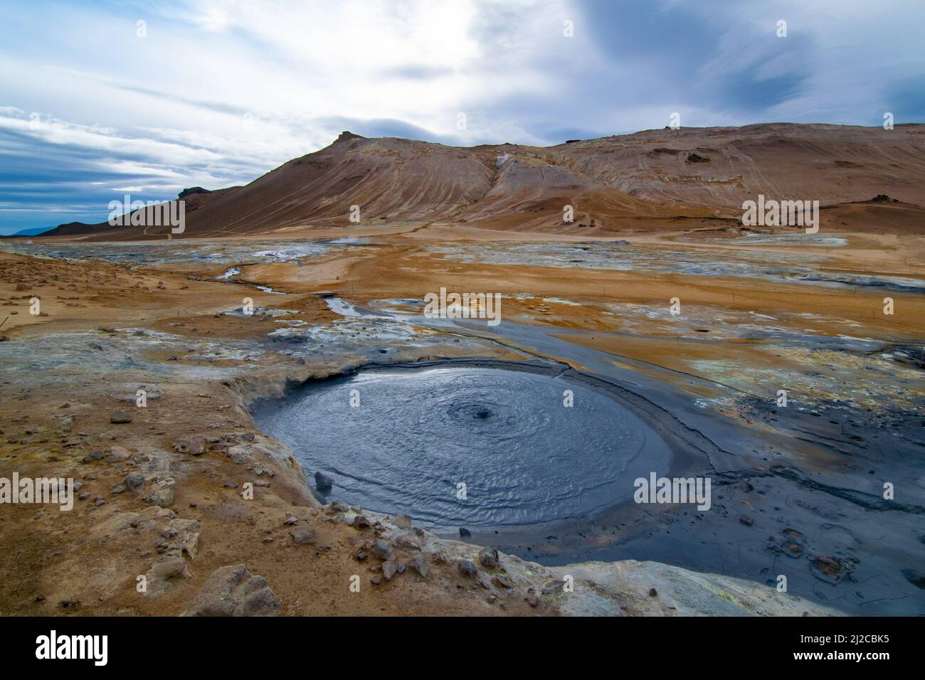 Myvatn Geothermie Gebiet Stockfotohttps://www.alamy.de/image-license-details/?v=1https://www.alamy.de/myvatn-geothermie-gebiet-image466181833.html
RF2J2CBK5–Myvatn Geothermie Gebiet
 Geothermie, Namafjall Hverir, Island, Polarregionen Stockfotohttps://www.alamy.de/image-license-details/?v=1https://www.alamy.de/geothermie-namafjall-hverir-island-polarregionen-image545632371.html
RF2PKKKJB–Geothermie, Namafjall Hverir, Island, Polarregionen
 Hverir, isländische geothermische Gegend am Namafjall Vulkan. Hverir ist auch bekannt als Namafjall oder Namaskard. Surreale Naturlandschaft. Stockfotohttps://www.alamy.de/image-license-details/?v=1https://www.alamy.de/hverir-islandische-geothermische-gegend-am-namafjall-vulkan-hverir-ist-auch-bekannt-als-namafjall-oder-namaskard-surreale-naturlandschaft-image503248777.html
RF2M6MXXH–Hverir, isländische geothermische Gegend am Namafjall Vulkan. Hverir ist auch bekannt als Namafjall oder Namaskard. Surreale Naturlandschaft.
 Mudpools im Geothermalgebiet Hverarönd/Hverir, Námafjall, Region Mývatn, Island Stockfotohttps://www.alamy.de/image-license-details/?v=1https://www.alamy.de/mudpools-im-geothermalgebiet-hverarondhverir-nmafjall-region-mvatn-island-image470452799.html
RF2J9AY9K–Mudpools im Geothermalgebiet Hverarönd/Hverir, Námafjall, Region Mývatn, Island
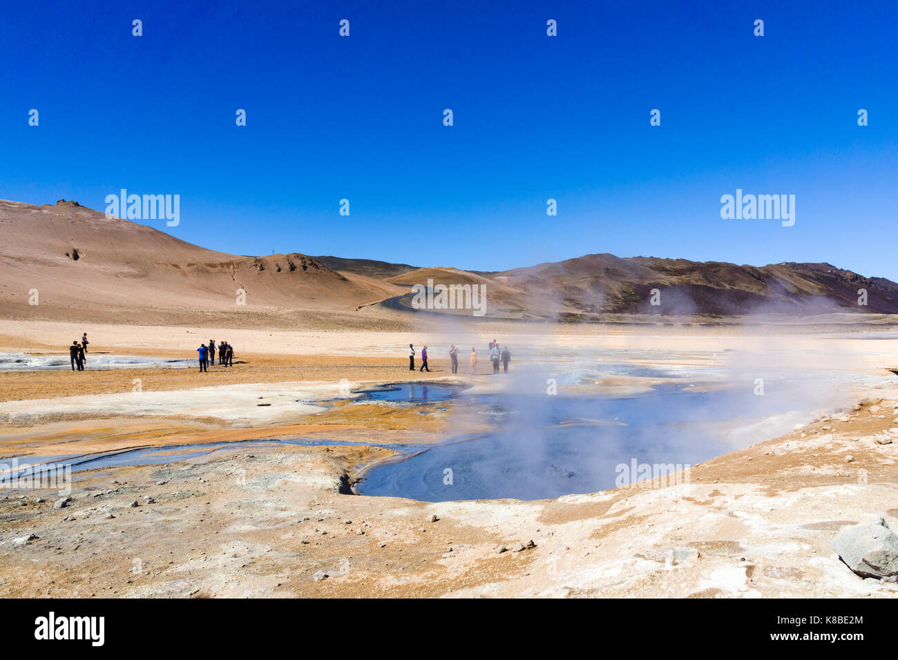 Námafjall Hverir Geothermiegebiet, Island Stockfotohttps://www.alamy.de/image-license-details/?v=1https://www.alamy.de/stockfoto-nmafjall-hverir-geothermiegebiet-island-160063084.html
RMK8BE2M–Námafjall Hverir Geothermiegebiet, Island
 Námafjall, Namafjall, Hverir bei Myvatn, Hochtemperaturgebiet, Geothermalgebiet, Hverarönd, Thermalquellen, Thermalquelle. Im Hochtemperaturgebiet Stockfotohttps://www.alamy.de/image-license-details/?v=1https://www.alamy.de/nmafjall-namafjall-hverir-bei-myvatn-hochtemperaturgebiet-geothermalgebiet-hverarond-thermalquellen-thermalquelle-im-hochtemperaturgebiet-image341906915.html
RM2AT75N7–Námafjall, Namafjall, Hverir bei Myvatn, Hochtemperaturgebiet, Geothermalgebiet, Hverarönd, Thermalquellen, Thermalquelle. Im Hochtemperaturgebiet
 Myvatn Namafjall Hverir geothermale Region im Nordosten Islands. Stockfotohttps://www.alamy.de/image-license-details/?v=1https://www.alamy.de/myvatn-namafjall-hverir-geothermale-region-im-nordosten-islands-image338577207.html
RF2AJREK3–Myvatn Namafjall Hverir geothermale Region im Nordosten Islands.
 Touristen zu Fuß rund bei der geothermischen Bereich Hverir, Namafjall, Island suchen Stockfotohttps://www.alamy.de/image-license-details/?v=1https://www.alamy.de/touristen-zu-fuss-rund-bei-der-geothermischen-bereich-hverir-namafjall-island-suchen-image227926668.html
RMR6PXP4–Touristen zu Fuß rund bei der geothermischen Bereich Hverir, Namafjall, Island suchen
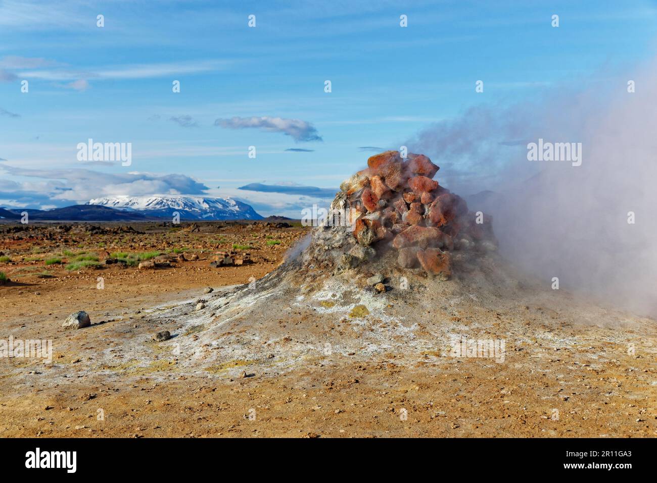 Geothermie-Gebiet Hverir, Namafjall, nahe Myvatn, Nordinsland, Island Stockfotohttps://www.alamy.de/image-license-details/?v=1https://www.alamy.de/geothermie-gebiet-hverir-namafjall-nahe-myvatn-nordinsland-island-image551381211.html
RM2R11GA3–Geothermie-Gebiet Hverir, Namafjall, nahe Myvatn, Nordinsland, Island
 Luftaufnahme von Hverir geothermischen Gebiet nordöstlich Island Stockfotohttps://www.alamy.de/image-license-details/?v=1https://www.alamy.de/luftaufnahme-von-hverir-geothermischen-gebiet-nordostlich-island-image226517258.html
RFR4EN22–Luftaufnahme von Hverir geothermischen Gebiet nordöstlich Island
 Island. Dampfende Pools und Schlammtöpfe. Die Namafjall (Hverir) Geothermie Gebiet. Stockfotohttps://www.alamy.de/image-license-details/?v=1https://www.alamy.de/island-dampfende-pools-und-schlammtopfe-die-namafjall-hverir-geothermie-gebiet-image369435212.html
RF2CD16AM–Island. Dampfende Pools und Schlammtöpfe. Die Namafjall (Hverir) Geothermie Gebiet.
 Hverarondor Hverir geothermische Gebiet in Island Stockfotohttps://www.alamy.de/image-license-details/?v=1https://www.alamy.de/stockfoto-hverarondor-hverir-geothermische-gebiet-in-island-122949204.html
RMH40PY0–Hverarondor Hverir geothermische Gebiet in Island
 Namafjall - Geothermie Bereich im Feld von hverir. Landschaft, die Pools der kochenden Schlamm und heißen Quellen. Touristische und natürlichen Attraktionen in Island Stockfotohttps://www.alamy.de/image-license-details/?v=1https://www.alamy.de/namafjall-geothermie-bereich-im-feld-von-hverir-landschaft-die-pools-der-kochenden-schlamm-und-heissen-quellen-touristische-und-naturlichen-attraktionen-in-island-image218281642.html
RFPK3GCX–Namafjall - Geothermie Bereich im Feld von hverir. Landschaft, die Pools der kochenden Schlamm und heißen Quellen. Touristische und natürlichen Attraktionen in Island
 Dampfende Fumarole bei Hverir, Geothermie-Gebiet in der Nähe von Námafjall, Norðurland eystra / Nordurland eystra, Island Stockfotohttps://www.alamy.de/image-license-details/?v=1https://www.alamy.de/stockfoto-dampfende-fumarole-bei-hverir-geothermie-gebiet-in-der-nahe-von-nmafjall-norurland-eystra-nordurland-eystra-island-165160511.html
RMKGKKWK–Dampfende Fumarole bei Hverir, Geothermie-Gebiet in der Nähe von Námafjall, Norðurland eystra / Nordurland eystra, Island
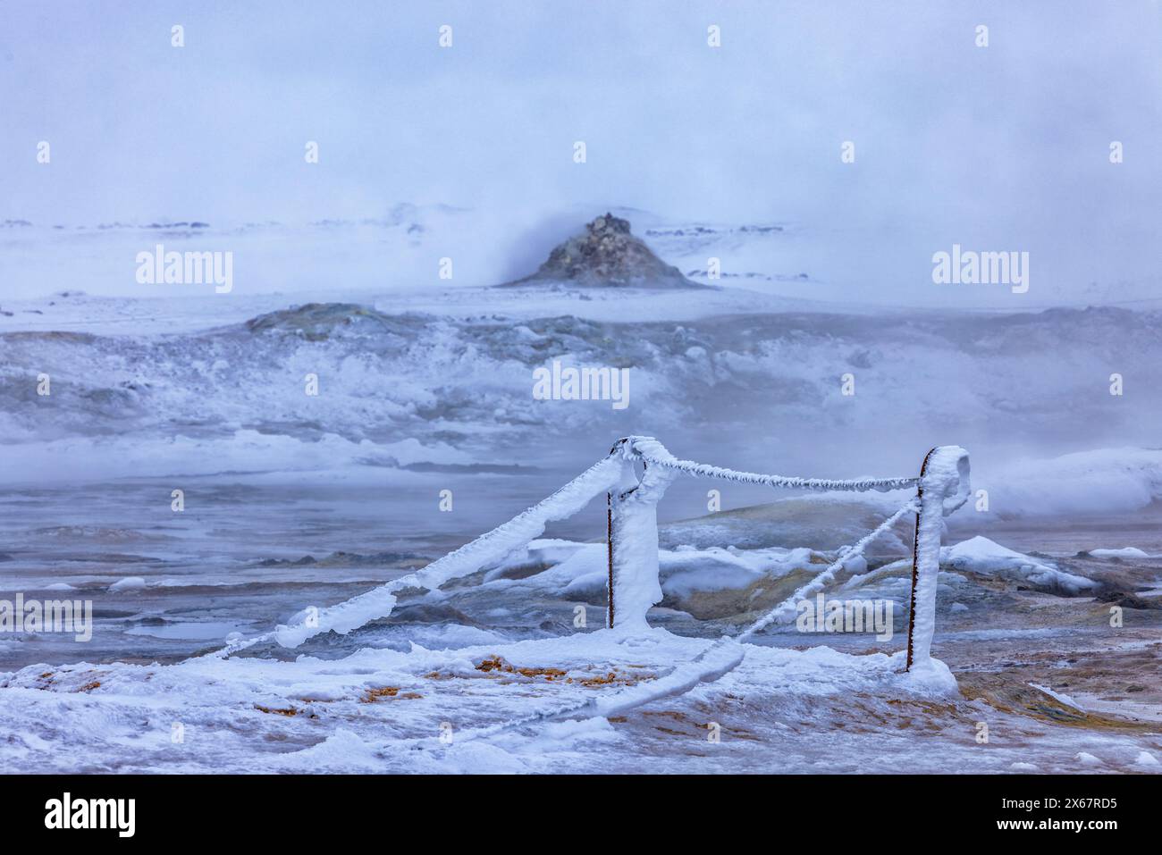 Das Geothermiegebiet Namafjall Hverir in der Region Myvatn in Nord-Island Stockfotohttps://www.alamy.de/image-license-details/?v=1https://www.alamy.de/das-geothermiegebiet-namafjall-hverir-in-der-region-myvatn-in-nord-island-image606222881.html
RM2X67RD5–Das Geothermiegebiet Namafjall Hverir in der Region Myvatn in Nord-Island
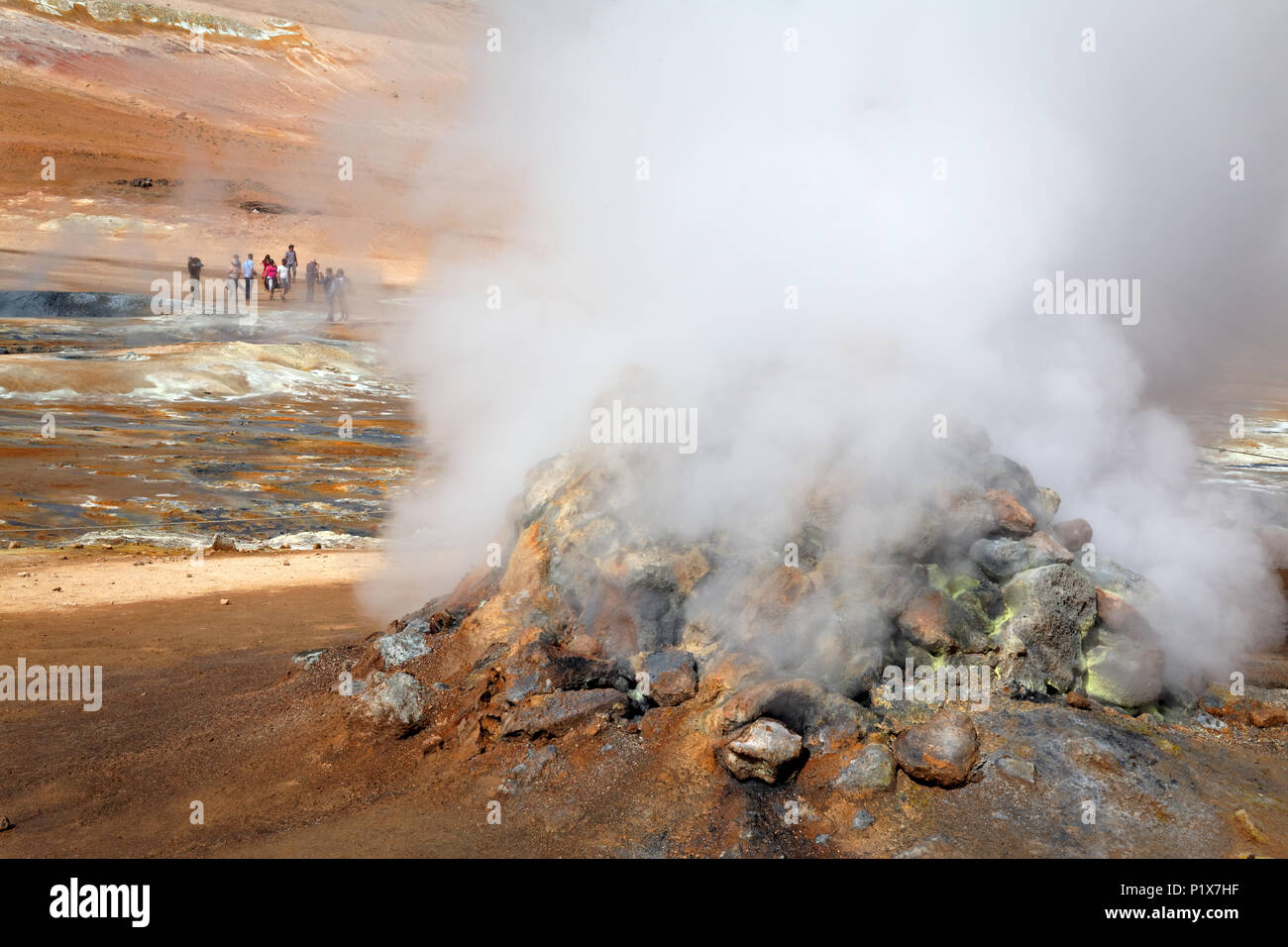 Fumarole emitting Schwefelsäure Gase, Namafjall Hverir geothermale Region, North Island, Island Stockfotohttps://www.alamy.de/image-license-details/?v=1https://www.alamy.de/fumarole-emitting-schwefelsaure-gase-namafjall-hverir-geothermale-region-north-island-island-image207715803.html
RMP1X7HF–Fumarole emitting Schwefelsäure Gase, Namafjall Hverir geothermale Region, North Island, Island
 Namafjall Hverir geothermale Region Island. Stockfotohttps://www.alamy.de/image-license-details/?v=1https://www.alamy.de/namafjall-hverir-geothermale-region-island-image464985517.html
RF2J0DWNH–Namafjall Hverir geothermale Region Island.
 Die geothermische Bereich Namafjall/Hverir in der Nähe von Mývatn bei Dämmerung im Norden von Island. Stockfotohttps://www.alamy.de/image-license-details/?v=1https://www.alamy.de/die-geothermische-bereich-namafjallhverir-in-der-nahe-von-mvatn-bei-dammerung-im-norden-von-island-image220542777.html
RFPPPGFN–Die geothermische Bereich Namafjall/Hverir in der Nähe von Mývatn bei Dämmerung im Norden von Island.
 Heiße Quellen im geothermischen Gebiet von Hverir - Namafjall in der Nähe des Sees Myvatn im Norden Islands Stockfotohttps://www.alamy.de/image-license-details/?v=1https://www.alamy.de/heisse-quellen-im-geothermischen-gebiet-von-hverir-namafjall-in-der-nahe-des-sees-myvatn-im-norden-islands-image474365214.html
RF2JFN5JP–Heiße Quellen im geothermischen Gebiet von Hverir - Namafjall in der Nähe des Sees Myvatn im Norden Islands
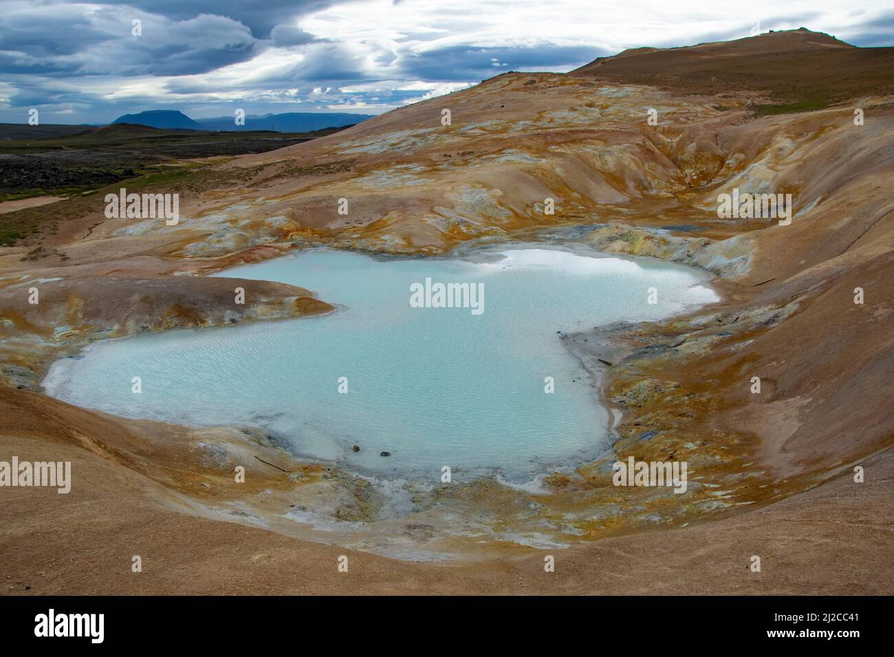 Myvatn Geothermie Gebiet Stockfotohttps://www.alamy.de/image-license-details/?v=1https://www.alamy.de/myvatn-geothermie-gebiet-image466182193.html
RF2J2CC41–Myvatn Geothermie Gebiet
 Geothermie, Namafjall Hverir, Island, Polarregionen Stockfotohttps://www.alamy.de/image-license-details/?v=1https://www.alamy.de/geothermie-namafjall-hverir-island-polarregionen-image545632370.html
RF2PKKKJA–Geothermie, Namafjall Hverir, Island, Polarregionen
 Hverir, isländische geothermische Gegend am Namafjall Vulkan. Hverir ist auch bekannt als Namafjall oder Namaskard. Surreale Naturlandschaft. Stockfotohttps://www.alamy.de/image-license-details/?v=1https://www.alamy.de/hverir-islandische-geothermische-gegend-am-namafjall-vulkan-hverir-ist-auch-bekannt-als-namafjall-oder-namaskard-surreale-naturlandschaft-image503248728.html
RF2M6MXTT–Hverir, isländische geothermische Gegend am Namafjall Vulkan. Hverir ist auch bekannt als Namafjall oder Namaskard. Surreale Naturlandschaft.
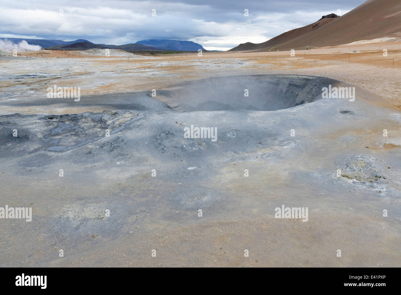 Namajfall Schlamm Topf oder Schlammbad, Namafjall, Hverir, Hverarönd, Myvatn, North Island Stockfotohttps://www.alamy.de/image-license-details/?v=1https://www.alamy.de/stockfoto-namajfall-schlamm-topf-oder-schlammbad-namafjall-hverir-hverarond-myvatn-north-island-71340046.html
RME41PXP–Namajfall Schlamm Topf oder Schlammbad, Namafjall, Hverir, Hverarönd, Myvatn, North Island
 Dampfende Fumarolen im Geothermiegebiet Námafjall Hverir, Island Stockfotohttps://www.alamy.de/image-license-details/?v=1https://www.alamy.de/stockfoto-dampfende-fumarolen-im-geothermiegebiet-nmafjall-hverir-island-160063531.html
RMK8BEJK–Dampfende Fumarolen im Geothermiegebiet Námafjall Hverir, Island
 Námafjall, Namafjall, Hverir bei Myvatn, Hochtemperaturgebiet, Geothermalgebiet, Hverarönd, Thermalquellen, Thermalquelle. Im Hochtemperaturgebiet Stockfotohttps://www.alamy.de/image-license-details/?v=1https://www.alamy.de/nmafjall-namafjall-hverir-bei-myvatn-hochtemperaturgebiet-geothermalgebiet-hverarond-thermalquellen-thermalquelle-im-hochtemperaturgebiet-image341906877.html
RM2AT75KW–Námafjall, Namafjall, Hverir bei Myvatn, Hochtemperaturgebiet, Geothermalgebiet, Hverarönd, Thermalquellen, Thermalquelle. Im Hochtemperaturgebiet
 Geothermisches Gebiet Hverir am Fuße des Namafjall-Berges, Island Stockfotohttps://www.alamy.de/image-license-details/?v=1https://www.alamy.de/geothermisches-gebiet-hverir-am-fusse-des-namafjall-berges-island-image543459201.html
RM2PG4KN5–Geothermisches Gebiet Hverir am Fuße des Namafjall-Berges, Island
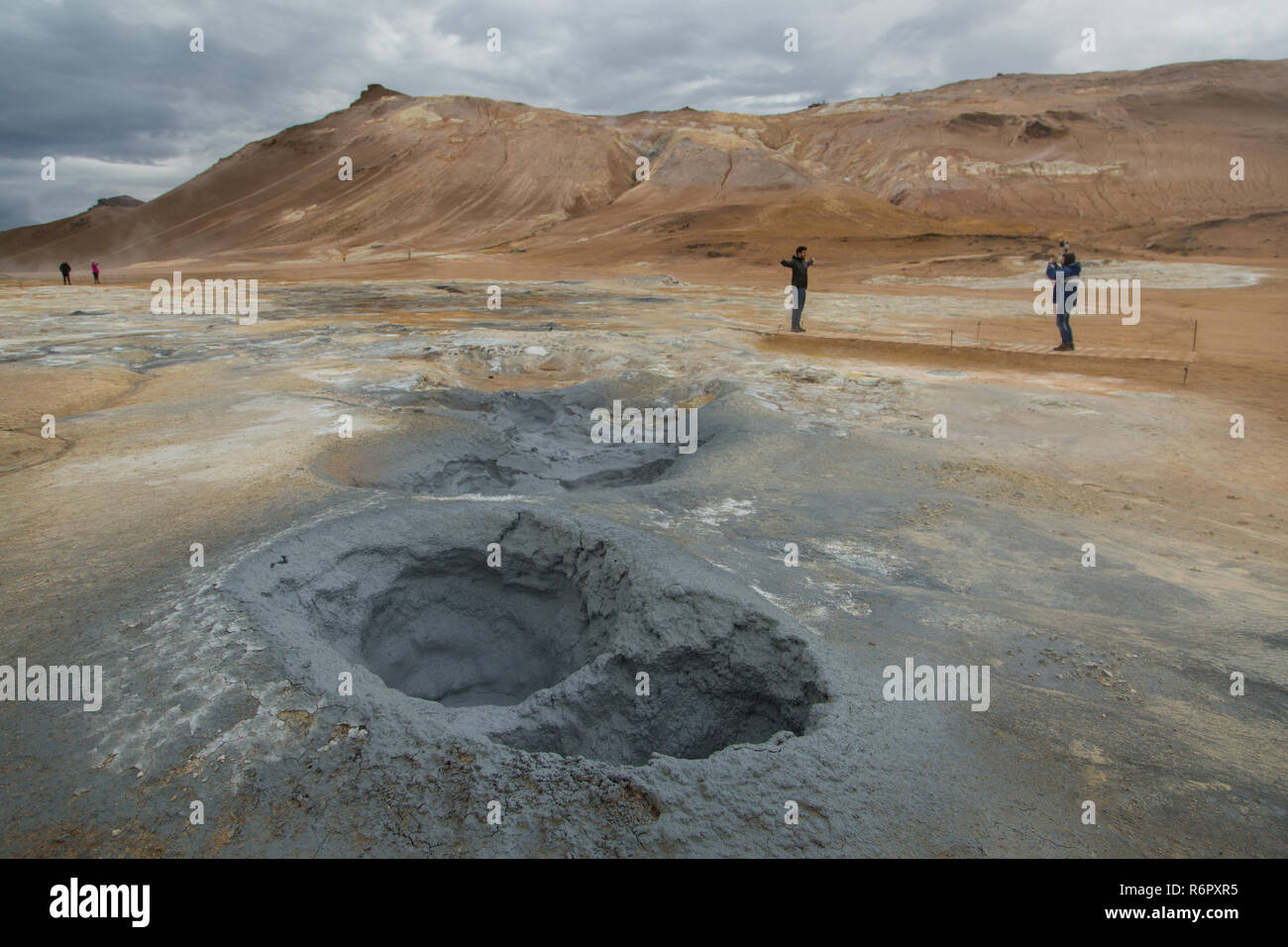 Touristen zu Fuß rund bei der geothermischen Bereich Hverir, Namafjall, Island suchen Stockfotohttps://www.alamy.de/image-license-details/?v=1https://www.alamy.de/touristen-zu-fuss-rund-bei-der-geothermischen-bereich-hverir-namafjall-island-suchen-image227926697.html
RMR6PXR5–Touristen zu Fuß rund bei der geothermischen Bereich Hverir, Namafjall, Island suchen
 Geothermie-Gebiet Hverir, Namafjall, nahe Myvatn, Nordinsland, Island Stockfotohttps://www.alamy.de/image-license-details/?v=1https://www.alamy.de/geothermie-gebiet-hverir-namafjall-nahe-myvatn-nordinsland-island-image551381227.html
RM2R11GAK–Geothermie-Gebiet Hverir, Namafjall, nahe Myvatn, Nordinsland, Island
 Touristen, Hverir geothermischen Gebiet nordöstlich Island Stockfotohttps://www.alamy.de/image-license-details/?v=1https://www.alamy.de/touristen-hverir-geothermischen-gebiet-nordostlich-island-image226517237.html
RFR4EN19–Touristen, Hverir geothermischen Gebiet nordöstlich Island
 Mt. Námafjall, geothermische Region Hverir, in der Nähe des Mývatn-Sees, Island Stockfotohttps://www.alamy.de/image-license-details/?v=1https://www.alamy.de/mt-nmafjall-geothermische-region-hverir-in-der-nahe-des-mvatn-sees-island-image560039526.html
RF2RF403J–Mt. Námafjall, geothermische Region Hverir, in der Nähe des Mývatn-Sees, Island
 Mudpools im Geothermalgebiet Hverarönd/Hverir, Námafjall, Region Mývatn, Island Stockfotohttps://www.alamy.de/image-license-details/?v=1https://www.alamy.de/mudpools-im-geothermalgebiet-hverarondhverir-nmafjall-region-mvatn-island-image457590186.html
RF2HGD0XJ–Mudpools im Geothermalgebiet Hverarönd/Hverir, Námafjall, Region Mývatn, Island
 Namafjall - Geothermie Bereich im Feld von hverir. Landschaft, die Pools der kochenden Schlamm und heißen Quellen. Touristische und natürlichen Attraktionen in Island Stockfotohttps://www.alamy.de/image-license-details/?v=1https://www.alamy.de/namafjall-geothermie-bereich-im-feld-von-hverir-landschaft-die-pools-der-kochenden-schlamm-und-heissen-quellen-touristische-und-naturlichen-attraktionen-in-island-image222577626.html
RFPX380X–Namafjall - Geothermie Bereich im Feld von hverir. Landschaft, die Pools der kochenden Schlamm und heißen Quellen. Touristische und natürlichen Attraktionen in Island
 Dampfende Fumarole bei Hverir, Geothermie-Gebiet in der Nähe von Námafjall, Norðurland eystra / Nordurland eystra, Island Stockfotohttps://www.alamy.de/image-license-details/?v=1https://www.alamy.de/stockfoto-dampfende-fumarole-bei-hverir-geothermie-gebiet-in-der-nahe-von-nmafjall-norurland-eystra-nordurland-eystra-island-165160495.html
RMKGKKW3–Dampfende Fumarole bei Hverir, Geothermie-Gebiet in der Nähe von Námafjall, Norðurland eystra / Nordurland eystra, Island
 Das Geothermiegebiet Namafjall Hverir in der Region Myvatn in Nord-Island Stockfotohttps://www.alamy.de/image-license-details/?v=1https://www.alamy.de/das-geothermiegebiet-namafjall-hverir-in-der-region-myvatn-in-nord-island-image606222913.html
RM2X67RE9–Das Geothermiegebiet Namafjall Hverir in der Region Myvatn in Nord-Island
 Risse im Schlamm, Namafjall Hverir geothermale Region, North Island, Island Stockfotohttps://www.alamy.de/image-license-details/?v=1https://www.alamy.de/risse-im-schlamm-namafjall-hverir-geothermale-region-north-island-island-image207716065.html
RMP1X7XW–Risse im Schlamm, Namafjall Hverir geothermale Region, North Island, Island
 Krafla geothermische Gebiet der Hverir, Namafjall in Nordisland Stockfotohttps://www.alamy.de/image-license-details/?v=1https://www.alamy.de/krafla-geothermische-gebiet-der-hverir-namafjall-in-nordisland-image449741837.html
RF2H3KE8D–Krafla geothermische Gebiet der Hverir, Namafjall in Nordisland
 Die geothermische Bereich Namafjall/Hverir in der Nähe von Mývatn bei Dämmerung im Norden von Island. Stockfotohttps://www.alamy.de/image-license-details/?v=1https://www.alamy.de/die-geothermische-bereich-namafjallhverir-in-der-nahe-von-mvatn-bei-dammerung-im-norden-von-island-image220542864.html
RFPPPGJT–Die geothermische Bereich Namafjall/Hverir in der Nähe von Mývatn bei Dämmerung im Norden von Island.
 Heiße Quellen im geothermischen Gebiet von Hverir - Namafjall in der Nähe des Sees Myvatn im Norden Islands Stockfotohttps://www.alamy.de/image-license-details/?v=1https://www.alamy.de/heisse-quellen-im-geothermischen-gebiet-von-hverir-namafjall-in-der-nahe-des-sees-myvatn-im-norden-islands-image472886236.html
RF2JD9R64–Heiße Quellen im geothermischen Gebiet von Hverir - Namafjall in der Nähe des Sees Myvatn im Norden Islands
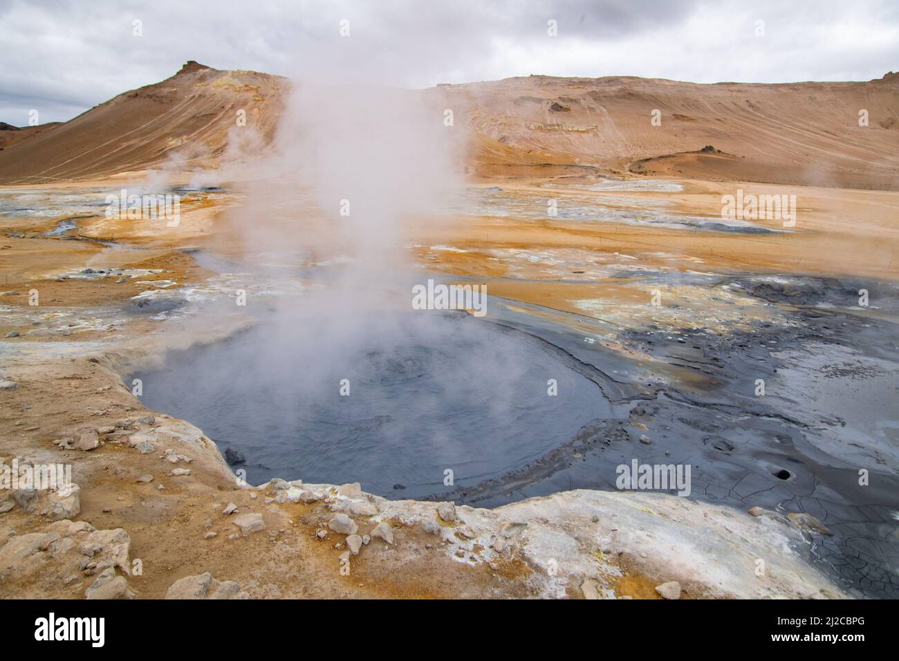 Myvatn Geothermie Gebiet Stockfotohttps://www.alamy.de/image-license-details/?v=1https://www.alamy.de/myvatn-geothermie-gebiet-image466181928.html
RF2J2CBPG–Myvatn Geothermie Gebiet
 Geothermie, Namafjall Hverir, Island, Polarregionen Stockfotohttps://www.alamy.de/image-license-details/?v=1https://www.alamy.de/geothermie-namafjall-hverir-island-polarregionen-image545632369.html
RF2PKKKJ9–Geothermie, Namafjall Hverir, Island, Polarregionen
 Hverir, isländische geothermische Gegend am Namafjall Vulkan. Hverir ist auch bekannt als Namafjall oder Namaskard. Surreale Naturlandschaft. Stockfotohttps://www.alamy.de/image-license-details/?v=1https://www.alamy.de/hverir-islandische-geothermische-gegend-am-namafjall-vulkan-hverir-ist-auch-bekannt-als-namafjall-oder-namaskard-surreale-naturlandschaft-image503248748.html
RF2M6MXWG–Hverir, isländische geothermische Gegend am Namafjall Vulkan. Hverir ist auch bekannt als Namafjall oder Namaskard. Surreale Naturlandschaft.
 Geothermisches Tal Hverir in Island. In Namafjall Bereich viele Rauchen Fumarolen, kochende Schlammtöpfe, umgeben von verschiedenen Farben Schwefelkristalle. Stockfotohttps://www.alamy.de/image-license-details/?v=1https://www.alamy.de/geothermisches-tal-hverir-in-island-in-namafjall-bereich-viele-rauchen-fumarolen-kochende-schlammtopfe-umgeben-von-verschiedenen-farben-schwefelkristalle-image371029471.html
RF2CFHRTF–Geothermisches Tal Hverir in Island. In Namafjall Bereich viele Rauchen Fumarolen, kochende Schlammtöpfe, umgeben von verschiedenen Farben Schwefelkristalle.
 Dampfende Schlammkessel und Fumarolen im Geothermiegebiet Námafjall Hverir, Island Stockfotohttps://www.alamy.de/image-license-details/?v=1https://www.alamy.de/stockfoto-dampfende-schlammkessel-und-fumarolen-im-geothermiegebiet-nmafjall-hverir-island-160063249.html
RMK8BE8H–Dampfende Schlammkessel und Fumarolen im Geothermiegebiet Námafjall Hverir, Island
 Námafjall, Namafjall, Hverir bei Myvatn, Hochtemperaturgebiet, Geothermalgebiet, Hverarönd, Thermalquellen, Thermalquelle. Im Hochtemperaturgebiet Stockfotohttps://www.alamy.de/image-license-details/?v=1https://www.alamy.de/nmafjall-namafjall-hverir-bei-myvatn-hochtemperaturgebiet-geothermalgebiet-hverarond-thermalquellen-thermalquelle-im-hochtemperaturgebiet-image341906868.html
RM2AT75KG–Námafjall, Namafjall, Hverir bei Myvatn, Hochtemperaturgebiet, Geothermalgebiet, Hverarönd, Thermalquellen, Thermalquelle. Im Hochtemperaturgebiet
 Geothermisches Gebiet Hverir am Fuße des Namafjall-Berges, Island Stockfotohttps://www.alamy.de/image-license-details/?v=1https://www.alamy.de/geothermisches-gebiet-hverir-am-fusse-des-namafjall-berges-island-image543459203.html
RM2PG4KN7–Geothermisches Gebiet Hverir am Fuße des Namafjall-Berges, Island
 Touristen zu Fuß rund bei der geothermischen Bereich Hverir, Namafjall, Island suchen Stockfotohttps://www.alamy.de/image-license-details/?v=1https://www.alamy.de/touristen-zu-fuss-rund-bei-der-geothermischen-bereich-hverir-namafjall-island-suchen-image227926676.html
RMR6PXPC–Touristen zu Fuß rund bei der geothermischen Bereich Hverir, Namafjall, Island suchen
 Geothermie-Gebiet Hverir, Namafjall, nahe Myvatn, Nordinsland, Island Stockfotohttps://www.alamy.de/image-license-details/?v=1https://www.alamy.de/geothermie-gebiet-hverir-namafjall-nahe-myvatn-nordinsland-island-image551381195.html
RM2R11G9F–Geothermie-Gebiet Hverir, Namafjall, nahe Myvatn, Nordinsland, Island
 Blick auf Hverir geothermische Gebiet in Nord-Island Stockfotohttps://www.alamy.de/image-license-details/?v=1https://www.alamy.de/stockfoto-blick-auf-hverir-geothermische-gebiet-in-nord-island-115417957.html
RFGKNMNW–Blick auf Hverir geothermische Gebiet in Nord-Island
 Mt. Námafjall, geothermische Region Hverir, in der Nähe des Mývatn-Sees, Island Stockfotohttps://www.alamy.de/image-license-details/?v=1https://www.alamy.de/mt-nmafjall-geothermische-region-hverir-in-der-nahe-des-mvatn-sees-island-image560039527.html
RF2RF403K–Mt. Námafjall, geothermische Region Hverir, in der Nähe des Mývatn-Sees, Island
 Ein paar Touristen beobachten Die Namafjall geothermale Region im Nordosten Island befindet sich auf der Ostseite des Sees Myvatn. Stockfotohttps://www.alamy.de/image-license-details/?v=1https://www.alamy.de/ein-paar-touristen-beobachten-die-namafjall-geothermale-region-im-nordosten-island-befindet-sich-auf-der-ostseite-des-sees-myvatn-image332060249.html
RF2A86J6H–Ein paar Touristen beobachten Die Namafjall geothermale Region im Nordosten Island befindet sich auf der Ostseite des Sees Myvatn.
 Namafjall hverir geothermische Gebiet. Landschaft, die Pools der kochenden Schlamm und heißen Quellen. Touristische und natürlichen Attraktionen in Island Stockfotohttps://www.alamy.de/image-license-details/?v=1https://www.alamy.de/namafjall-hverir-geothermische-gebiet-landschaft-die-pools-der-kochenden-schlamm-und-heissen-quellen-touristische-und-naturlichen-attraktionen-in-island-image218911653.html
RFPM4819–Namafjall hverir geothermische Gebiet. Landschaft, die Pools der kochenden Schlamm und heißen Quellen. Touristische und natürlichen Attraktionen in Island
 Dampfende Fumarole bei Hverir, Geothermie-Gebiet in der Nähe von Námafjall, Norðurland eystra / Nordurland eystra, Island Stockfotohttps://www.alamy.de/image-license-details/?v=1https://www.alamy.de/stockfoto-dampfende-fumarole-bei-hverir-geothermie-gebiet-in-der-nahe-von-nmafjall-norurland-eystra-nordurland-eystra-island-165160522.html
RMKGKKX2–Dampfende Fumarole bei Hverir, Geothermie-Gebiet in der Nähe von Námafjall, Norðurland eystra / Nordurland eystra, Island
 Island, Hverir geothermischen Feldern am Fuße des Namafjall, Myvatn-Gebiet, Stockfotohttps://www.alamy.de/image-license-details/?v=1https://www.alamy.de/stockfoto-island-hverir-geothermischen-feldern-am-fusse-des-namafjall-myvatn-gebiet-146440647.html
RMJE6XF3–Island, Hverir geothermischen Feldern am Fuße des Namafjall, Myvatn-Gebiet,
 Risse im Schlamm, Namafjall Hverir geothermale Region, North Island, Island Stockfotohttps://www.alamy.de/image-license-details/?v=1https://www.alamy.de/risse-im-schlamm-namafjall-hverir-geothermale-region-north-island-island-image207715277.html
RMP1X6XN–Risse im Schlamm, Namafjall Hverir geothermale Region, North Island, Island
 Blick auf Hverir geothermale Region Stockfotohttps://www.alamy.de/image-license-details/?v=1https://www.alamy.de/blick-auf-hverir-geothermale-region-image217178661.html
RMPH99GN–Blick auf Hverir geothermale Region
 Dampfentlüftung aus einer aktiven Fumarole / Fumerole im Geothermiegebiet von Namafjall / Hverir in der Nähe des Myvatn-Sees in der Dämmerung in Nordisland. Stockfotohttps://www.alamy.de/image-license-details/?v=1https://www.alamy.de/dampfentluftung-aus-einer-aktiven-fumarole-fumerole-im-geothermiegebiet-von-namafjall-hverir-in-der-nahe-des-myvatn-sees-in-der-dammerung-in-nordisland-image382515609.html
RM2D692FN–Dampfentlüftung aus einer aktiven Fumarole / Fumerole im Geothermiegebiet von Namafjall / Hverir in der Nähe des Myvatn-Sees in der Dämmerung in Nordisland.
 Eine dampfende Fumarole in den hochaktiven geothermalen Gebiet am Námafjall (hverir), in der Nähe von Mývatn in North-east Iceland Stockfotohttps://www.alamy.de/image-license-details/?v=1https://www.alamy.de/eine-dampfende-fumarole-in-den-hochaktiven-geothermalen-gebiet-am-nmafjall-hverir-in-der-nahe-von-mvatn-in-north-east-iceland-image255460821.html
RMTRH6TN–Eine dampfende Fumarole in den hochaktiven geothermalen Gebiet am Námafjall (hverir), in der Nähe von Mývatn in North-east Iceland
 Myvatn Geothermie Gebiet Stockfotohttps://www.alamy.de/image-license-details/?v=1https://www.alamy.de/myvatn-geothermie-gebiet-image466181824.html
RF2J2CBJT–Myvatn Geothermie Gebiet
 Geothermie, Namafjall Hverir, Island, Polarregionen Stockfotohttps://www.alamy.de/image-license-details/?v=1https://www.alamy.de/geothermie-namafjall-hverir-island-polarregionen-image545632357.html
RF2PKKKHW–Geothermie, Namafjall Hverir, Island, Polarregionen
 Hverir, isländische geothermische Gegend am Namafjall Vulkan. Hverir ist auch bekannt als Namafjall oder Namaskard. Surreale Naturlandschaft. Stockfotohttps://www.alamy.de/image-license-details/?v=1https://www.alamy.de/hverir-islandische-geothermische-gegend-am-namafjall-vulkan-hverir-ist-auch-bekannt-als-namafjall-oder-namaskard-surreale-naturlandschaft-image503248855.html
RF2M6MY1B–Hverir, isländische geothermische Gegend am Namafjall Vulkan. Hverir ist auch bekannt als Namafjall oder Namaskard. Surreale Naturlandschaft.
 Fumarole mit Rauch im Namafjall Hverir Geothermie-Gebiet, Island Stockfotohttps://www.alamy.de/image-license-details/?v=1https://www.alamy.de/fumarole-mit-rauch-im-namafjall-hverir-geothermie-gebiet-island-image482757023.html
RF2K1BDE7–Fumarole mit Rauch im Namafjall Hverir Geothermie-Gebiet, Island
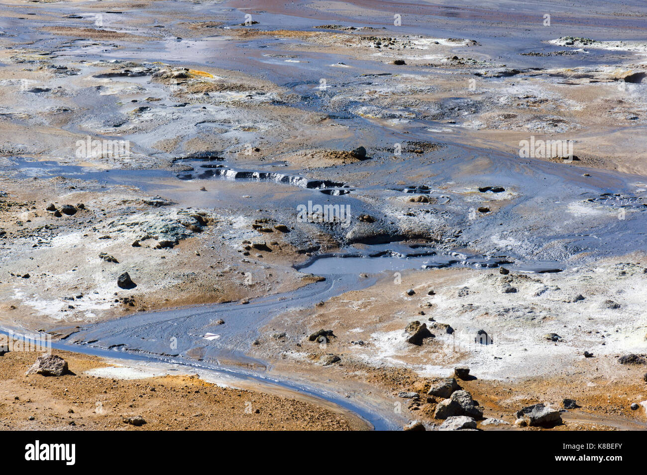 Graufarbener heißer Schlamm im Geothermiegebiet Námafjall Hverir, Island Stockfotohttps://www.alamy.de/image-license-details/?v=1https://www.alamy.de/stockfoto-graufarbener-heisser-schlamm-im-geothermiegebiet-nmafjall-hverir-island-160063455.html
RMK8BEFY–Graufarbener heißer Schlamm im Geothermiegebiet Námafjall Hverir, Island
 Námafjall, Namafjall, Hverir bei Myvatn, Hochtemperaturgebiet, Geothermalgebiet, Hverarönd, Thermalquellen, Thermalquelle. Im Hochtemperaturgebiet Stockfotohttps://www.alamy.de/image-license-details/?v=1https://www.alamy.de/nmafjall-namafjall-hverir-bei-myvatn-hochtemperaturgebiet-geothermalgebiet-hverarond-thermalquellen-thermalquelle-im-hochtemperaturgebiet-image341906773.html
RM2AT75G5–Námafjall, Namafjall, Hverir bei Myvatn, Hochtemperaturgebiet, Geothermalgebiet, Hverarönd, Thermalquellen, Thermalquelle. Im Hochtemperaturgebiet
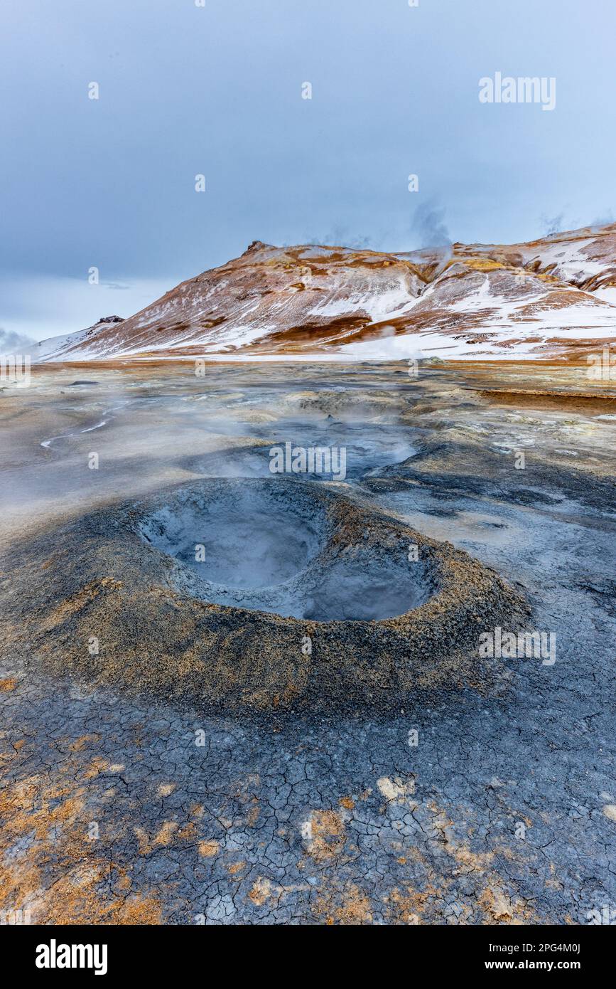 Geothermisches Gebiet Hverir am Fuße des Namafjall-Berges, Island Stockfotohttps://www.alamy.de/image-license-details/?v=1https://www.alamy.de/geothermisches-gebiet-hverir-am-fusse-des-namafjall-berges-island-image543459410.html
RM2PG4M0J–Geothermisches Gebiet Hverir am Fuße des Namafjall-Berges, Island
 Geothermische Bereich Hverir, Namafjall, Island Stockfotohttps://www.alamy.de/image-license-details/?v=1https://www.alamy.de/geothermische-bereich-hverir-namafjall-island-image227926336.html
RMR6PXA8–Geothermische Bereich Hverir, Namafjall, Island
 Geothermie-Gebiet Hverir, Namafjall, nahe Myvatn, Nordinsland, Island Stockfotohttps://www.alamy.de/image-license-details/?v=1https://www.alamy.de/geothermie-gebiet-hverir-namafjall-nahe-myvatn-nordinsland-island-image551381200.html
RM2R11G9M–Geothermie-Gebiet Hverir, Namafjall, nahe Myvatn, Nordinsland, Island
 Kochendem Schlamm im Hverir geothermische Gebiet in Nordisland Stockfotohttps://www.alamy.de/image-license-details/?v=1https://www.alamy.de/stockfoto-kochendem-schlamm-im-hverir-geothermische-gebiet-in-nordisland-114557781.html
RFGJAFH9–Kochendem Schlamm im Hverir geothermische Gebiet in Nordisland
 Kochende Schlammbecken und Mt. Námafjall, geothermische Region Hverir, in der Nähe des Mývatn-Sees, Island Stockfotohttps://www.alamy.de/image-license-details/?v=1https://www.alamy.de/kochende-schlammbecken-und-mt-nmafjall-geothermische-region-hverir-in-der-nahe-des-mvatn-sees-island-image560039530.html
RF2RF403P–Kochende Schlammbecken und Mt. Námafjall, geothermische Region Hverir, in der Nähe des Mývatn-Sees, Island
 Hverir Hot Spring Bereich, eines der größten Schwefel Frühling in Island. Stockfotohttps://www.alamy.de/image-license-details/?v=1https://www.alamy.de/stockfoto-hverir-hot-spring-bereich-eines-der-grossten-schwefel-fruhling-in-island-114133780.html
RFGHK6PC–Hverir Hot Spring Bereich, eines der größten Schwefel Frühling in Island.
 Island geothermische Energie. Namafjall-Bereich im Feld von hverir. Landschaft, die Pools der kochenden Schlamm und heißen Quellen. Touristische und natürlichen Attraktionen Stockfotohttps://www.alamy.de/image-license-details/?v=1https://www.alamy.de/island-geothermische-energie-namafjall-bereich-im-feld-von-hverir-landschaft-die-pools-der-kochenden-schlamm-und-heissen-quellen-touristische-und-naturlichen-attraktionen-image222577639.html
RFPX381B–Island geothermische Energie. Namafjall-Bereich im Feld von hverir. Landschaft, die Pools der kochenden Schlamm und heißen Quellen. Touristische und natürlichen Attraktionen
 Dampfende Fumarole bei Hverir, Geothermie-Gebiet in der Nähe von Námafjall, Norðurland eystra / Nordurland eystra, Island Stockfotohttps://www.alamy.de/image-license-details/?v=1https://www.alamy.de/stockfoto-dampfende-fumarole-bei-hverir-geothermie-gebiet-in-der-nahe-von-nmafjall-norurland-eystra-nordurland-eystra-island-165160613.html
RMKGKM19–Dampfende Fumarole bei Hverir, Geothermie-Gebiet in der Nähe von Námafjall, Norðurland eystra / Nordurland eystra, Island
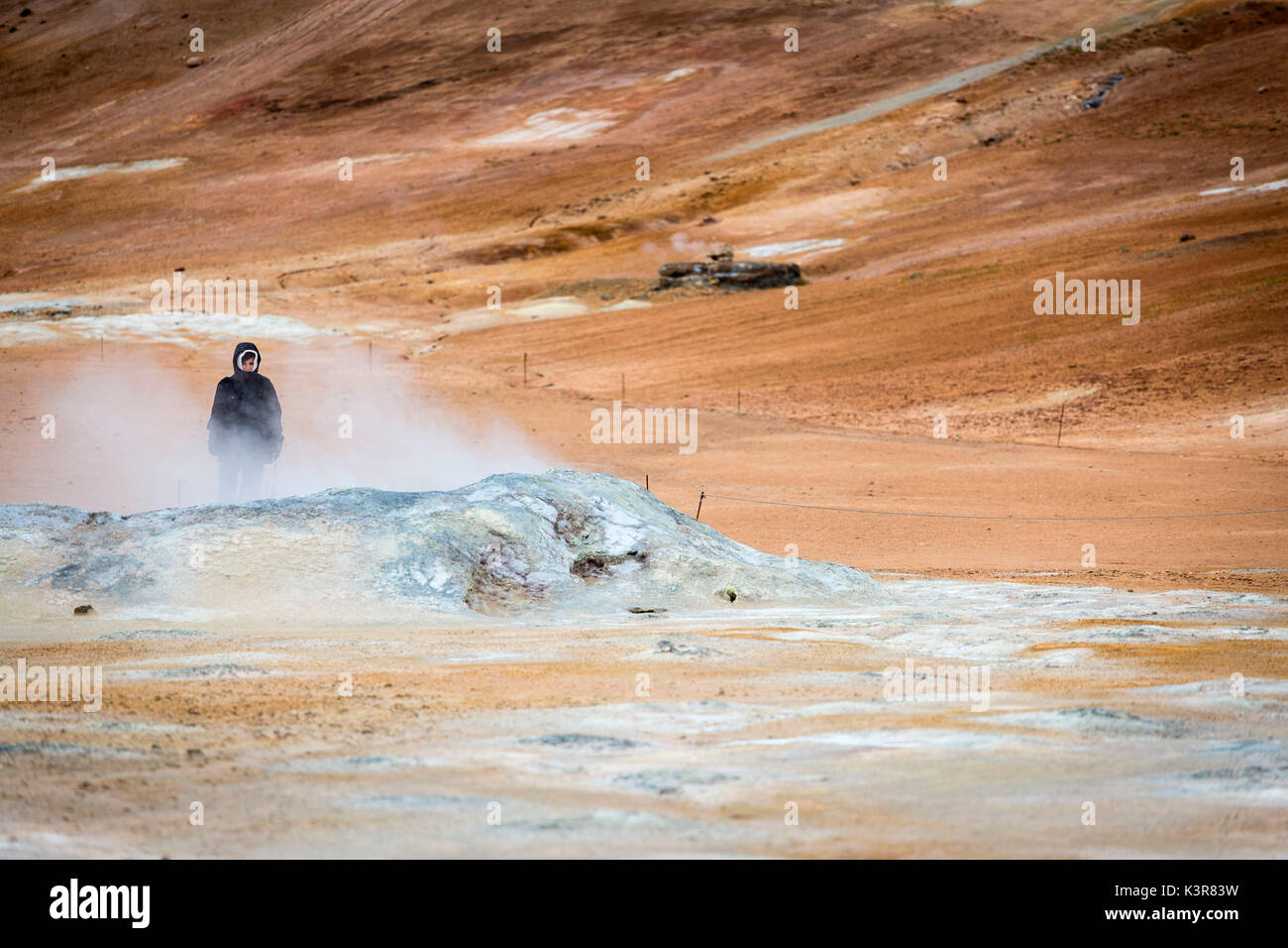 Hverir geothermale Region, Island, Europa. Stockfotohttps://www.alamy.de/image-license-details/?v=1https://www.alamy.de/hverir-geothermale-region-island-europa-image157248557.html
RFK3R83W–Hverir geothermale Region, Island, Europa.
 Risse im Schlamm, Namafjall Hverir geothermale Region, North Island, Island Stockfotohttps://www.alamy.de/image-license-details/?v=1https://www.alamy.de/risse-im-schlamm-namafjall-hverir-geothermale-region-north-island-island-image207716279.html
RMP1X86F–Risse im Schlamm, Namafjall Hverir geothermale Region, North Island, Island
 Dampfende Fumarolen bei Hverir geothermale Region Stockfotohttps://www.alamy.de/image-license-details/?v=1https://www.alamy.de/dampfende-fumarolen-bei-hverir-geothermale-region-image217178657.html
RMPH99GH–Dampfende Fumarolen bei Hverir geothermale Region
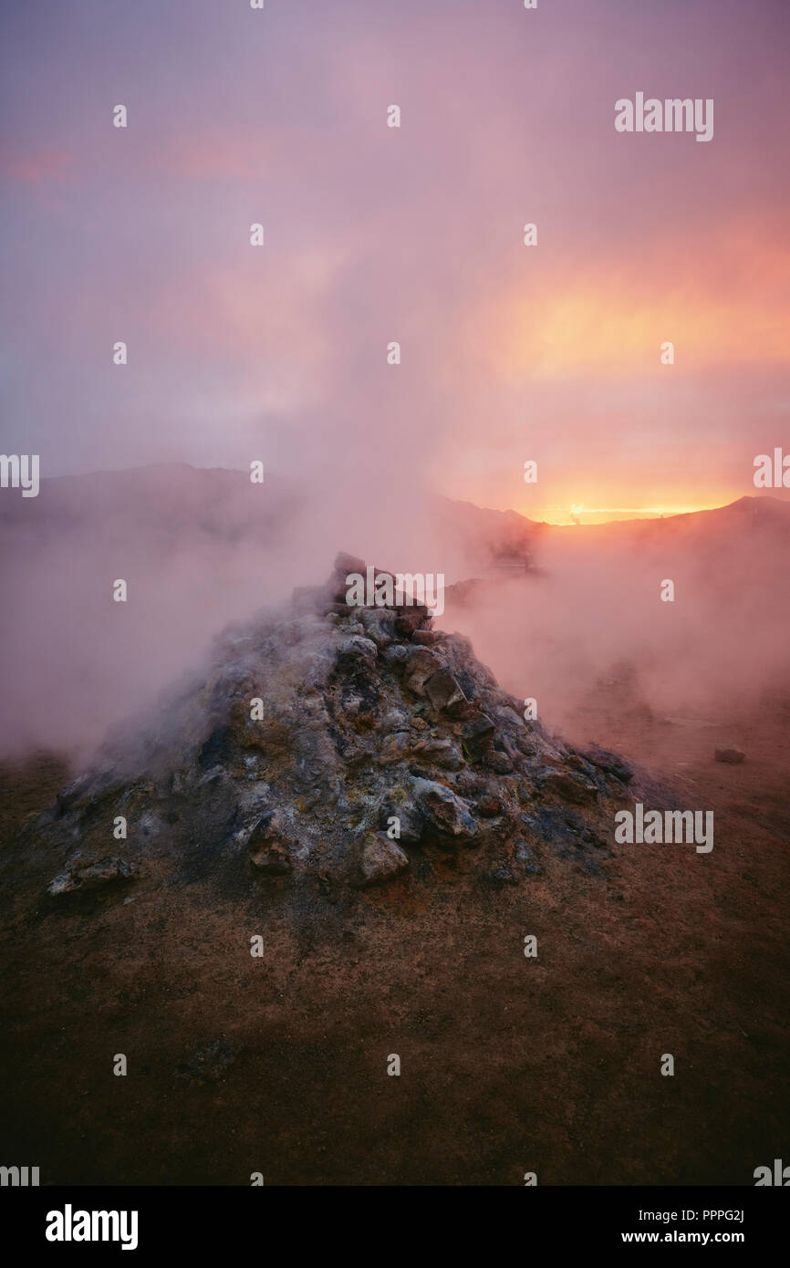 Dampfentlüftung aus einer aktiven Fumarole - das geothermische Gebiet von Namafjall / Hverir in der Nähe des Lake Myvatn bei Dämmerung in Nordisland. Stockfotohttps://www.alamy.de/image-license-details/?v=1https://www.alamy.de/dampfentluftung-aus-einer-aktiven-fumarole-das-geothermische-gebiet-von-namafjall-hverir-in-der-nahe-des-lake-myvatn-bei-dammerung-in-nordisland-image220542410.html
RFPPPG2J–Dampfentlüftung aus einer aktiven Fumarole - das geothermische Gebiet von Namafjall / Hverir in der Nähe des Lake Myvatn bei Dämmerung in Nordisland.
 Eine dampfende Fumarole in den hochaktiven geothermalen Gebiet am Námafjall (hverir), in der Nähe von Mývatn in North-east Iceland Stockfotohttps://www.alamy.de/image-license-details/?v=1https://www.alamy.de/eine-dampfende-fumarole-in-den-hochaktiven-geothermalen-gebiet-am-nmafjall-hverir-in-der-nahe-von-mvatn-in-north-east-iceland-image255461548.html
RMTRH7PM–Eine dampfende Fumarole in den hochaktiven geothermalen Gebiet am Námafjall (hverir), in der Nähe von Mývatn in North-east Iceland
 Myvatn Geothermie Gebiet Stockfotohttps://www.alamy.de/image-license-details/?v=1https://www.alamy.de/myvatn-geothermie-gebiet-image466181945.html
RF2J2CBR5–Myvatn Geothermie Gebiet
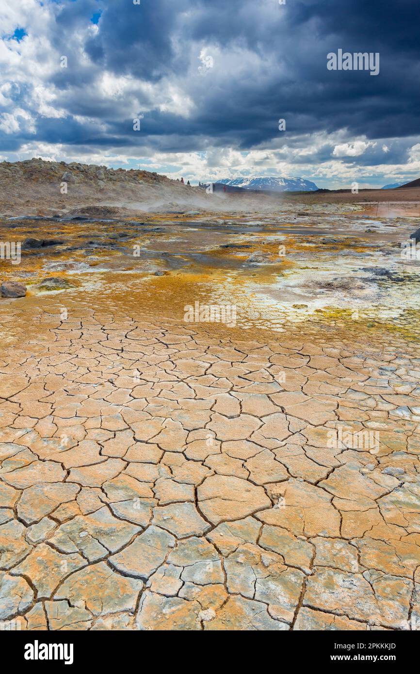 Erdwärme und Schlammrisse, Namafjall Hverir, Island, Polarregionen Stockfotohttps://www.alamy.de/image-license-details/?v=1https://www.alamy.de/erdwarme-und-schlammrisse-namafjall-hverir-island-polarregionen-image545632373.html
RF2PKKKJD–Erdwärme und Schlammrisse, Namafjall Hverir, Island, Polarregionen
 Hverir, ein geothermisches Gebiet, das für seine sprudelnden Schlammbecken und dampfenden Fumarolen bekannt ist, die Schwefelgas abgeben, Namafjall, Island Stockfotohttps://www.alamy.de/image-license-details/?v=1https://www.alamy.de/hverir-ein-geothermisches-gebiet-das-fur-seine-sprudelnden-schlammbecken-und-dampfenden-fumarolen-bekannt-ist-die-schwefelgas-abgeben-namafjall-island-image365248350.html
RF2C66DYX–Hverir, ein geothermisches Gebiet, das für seine sprudelnden Schlammbecken und dampfenden Fumarolen bekannt ist, die Schwefelgas abgeben, Namafjall, Island
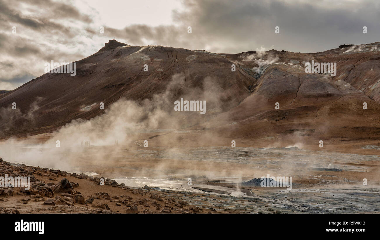 Geothermische Schlamm Pools von Hverir, Nordosten Island Stockfotohttps://www.alamy.de/image-license-details/?v=1https://www.alamy.de/geothermische-schlamm-pools-von-hverir-nordosten-island-image227371791.html
RFR5WK13–Geothermische Schlamm Pools von Hverir, Nordosten Island
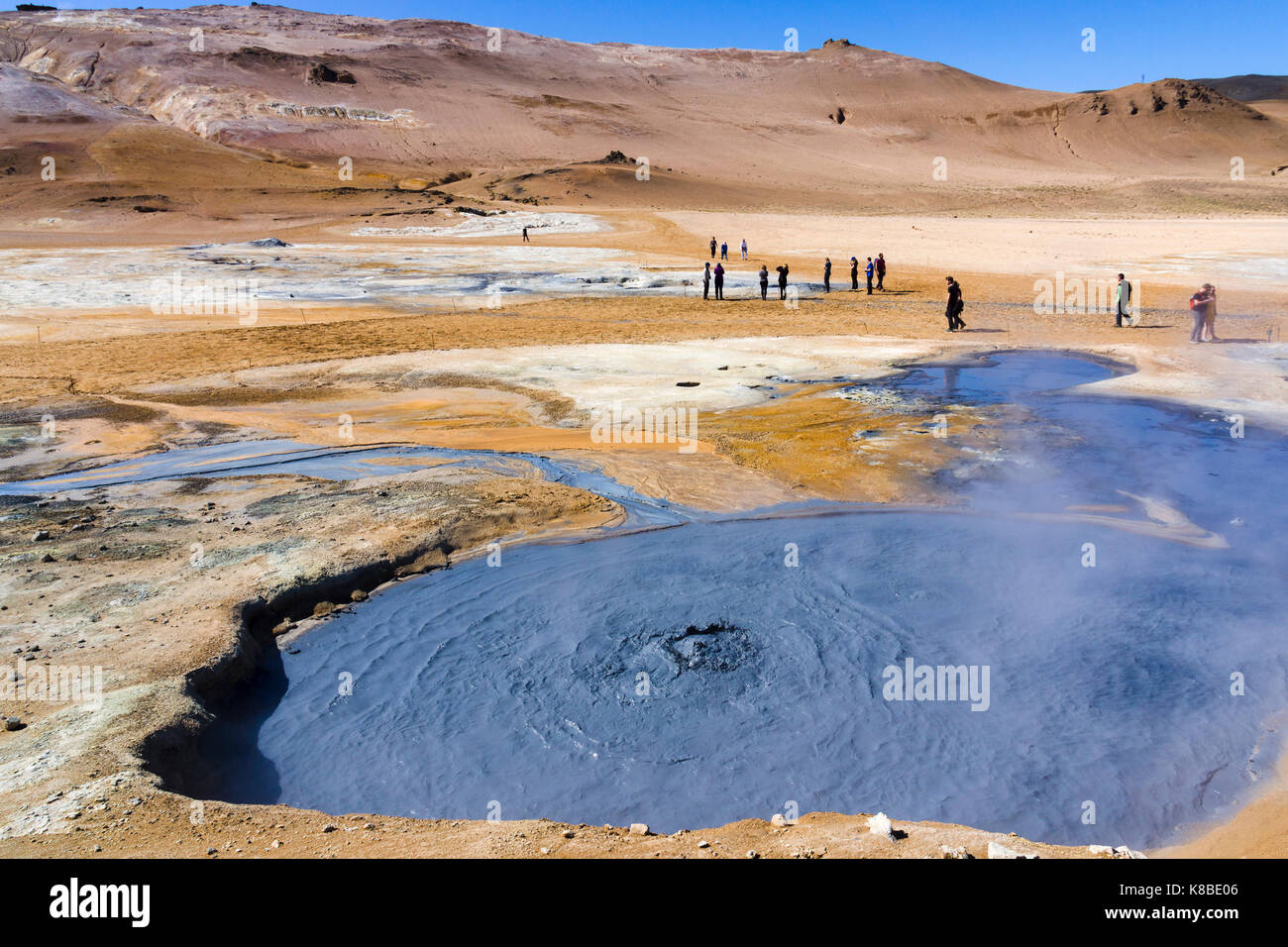 Sprudelnder Schlammkessel im Geothermiegebiet Námafjall Hverir, Island Stockfotohttps://www.alamy.de/image-license-details/?v=1https://www.alamy.de/stockfoto-sprudelnder-schlammkessel-im-geothermiegebiet-nmafjall-hverir-island-160063014.html
RMK8BE06–Sprudelnder Schlammkessel im Geothermiegebiet Námafjall Hverir, Island
 Námafjall, Namafjall, Hverir bei Myvatn, Hochtemperaturgebiet, Geothermalgebiet, Hverarönd, Thermalquellen, Thermalquelle. Im Hochtemperaturgebiet Stockfotohttps://www.alamy.de/image-license-details/?v=1https://www.alamy.de/nmafjall-namafjall-hverir-bei-myvatn-hochtemperaturgebiet-geothermalgebiet-hverarond-thermalquellen-thermalquelle-im-hochtemperaturgebiet-image341906771.html
RM2AT75G3–Námafjall, Namafjall, Hverir bei Myvatn, Hochtemperaturgebiet, Geothermalgebiet, Hverarönd, Thermalquellen, Thermalquelle. Im Hochtemperaturgebiet
 Heiß dampfenden Schlamm an Námafjall Hverir geothermische Gebiet in der Mývatn-Region im Nordosten Island, Skandinavien Stockfotohttps://www.alamy.de/image-license-details/?v=1https://www.alamy.de/heiss-dampfenden-schlamm-an-nmafjall-hverir-geothermische-gebiet-in-der-mvatn-region-im-nordosten-island-skandinavien-image237574328.html
RFRPECDC–Heiß dampfenden Schlamm an Námafjall Hverir geothermische Gebiet in der Mývatn-Region im Nordosten Island, Skandinavien
 Geothermische Schlamm Pools an Hverir, Namafjall, Island Stockfotohttps://www.alamy.de/image-license-details/?v=1https://www.alamy.de/geothermische-schlamm-pools-an-hverir-namafjall-island-image227976749.html
RMR6W6JN–Geothermische Schlamm Pools an Hverir, Namafjall, Island
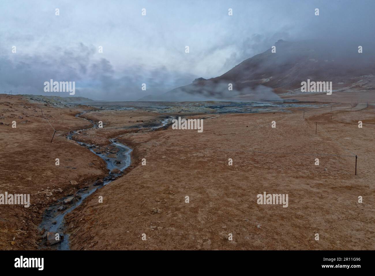 Geothermie-Gebiet Hverir, Namafjall, nahe Myvatn, Nordinsland, Island Stockfotohttps://www.alamy.de/image-license-details/?v=1https://www.alamy.de/geothermie-gebiet-hverir-namafjall-nahe-myvatn-nordinsland-island-image551381186.html
RM2R11G96–Geothermie-Gebiet Hverir, Namafjall, nahe Myvatn, Nordinsland, Island