Schnellfilter:
Gebirgsflüsse irland Stockfotos & Bilder
 Der Cloghoge Fluss unterhalb der Klippen von Luggala, Wicklow Mountains, County Wicklow, Irland. Stockfotohttps://www.alamy.de/image-license-details/?v=1https://www.alamy.de/der-cloghoge-fluss-unterhalb-der-klippen-von-luggala-wicklow-mountains-county-wicklow-irland-image66272978.html
RMDRPYT2–Der Cloghoge Fluss unterhalb der Klippen von Luggala, Wicklow Mountains, County Wicklow, Irland.
 Slieve Bloom Mountains Co Offaly Irland Stockfotohttps://www.alamy.de/image-license-details/?v=1https://www.alamy.de/stockfoto-slieve-bloom-mountains-co-offaly-irland-113056696.html
RMGFX4Y4–Slieve Bloom Mountains Co Offaly Irland
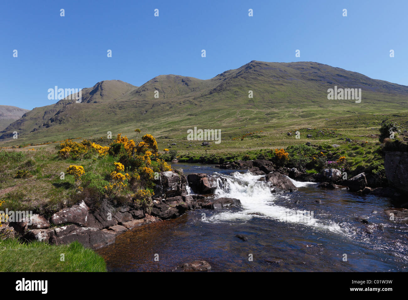 Bundorragha River, Ben Gorm Berg auf der Rückseite, Doolough Tal, County Mayo, Provinz Connacht, Republik Irland, Europa Stockfotohttps://www.alamy.de/image-license-details/?v=1https://www.alamy.de/stockfoto-bundorragha-river-ben-gorm-berg-auf-der-ruckseite-doolough-tal-county-mayo-provinz-connacht-republik-irland-europa-34462397.html
RFC01W3W–Bundorragha River, Ben Gorm Berg auf der Rückseite, Doolough Tal, County Mayo, Provinz Connacht, Republik Irland, Europa
 Landschaft der Grafschaft Wicklow aus Kilcoole, Irland Stockfotohttps://www.alamy.de/image-license-details/?v=1https://www.alamy.de/stockfoto-landschaft-der-grafschaft-wicklow-aus-kilcoole-irland-27261494.html
RMBG9T8P–Landschaft der Grafschaft Wicklow aus Kilcoole, Irland
 Flüsse Stockfotohttps://www.alamy.de/image-license-details/?v=1https://www.alamy.de/stockfoto-flusse-124649740.html
RFH6P80C–Flüsse
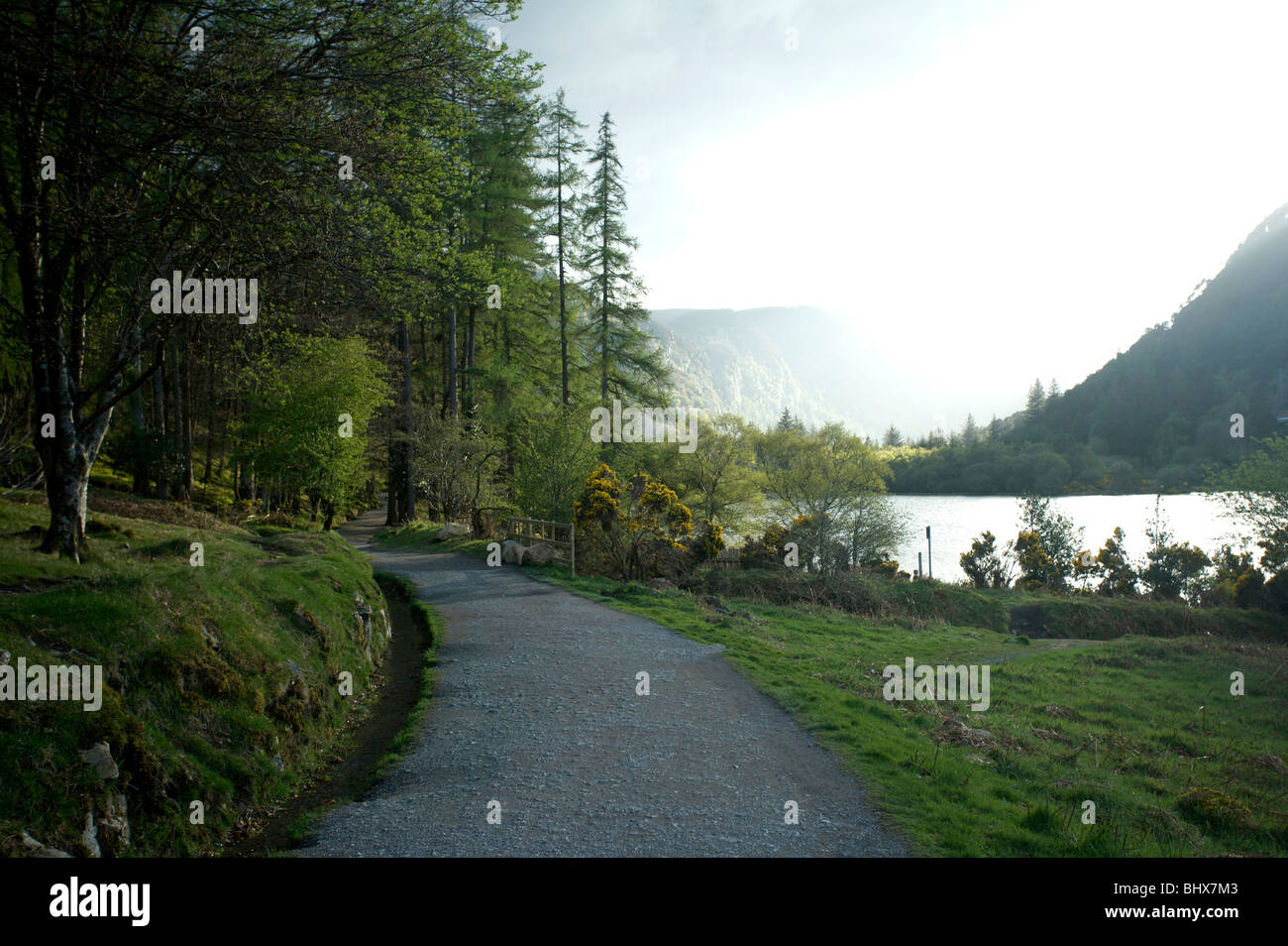 Weg durch den oberen See von Glendalough, Wicklow, Irland Stockfotohttps://www.alamy.de/image-license-details/?v=1https://www.alamy.de/stockfoto-weg-durch-den-oberen-see-von-glendalough-wicklow-irland-28236323.html
RMBHX7M3–Weg durch den oberen See von Glendalough, Wicklow, Irland
 Dieses Bild zeigt eine bezaubernde Steinbrücke, die sich über einen kaskadierenden Gebirgsbach vor dem Hintergrund der Maumturk Mountain Range in Conne erhebt Stockfotohttps://www.alamy.de/image-license-details/?v=1https://www.alamy.de/dieses-bild-zeigt-eine-bezaubernde-steinbrucke-die-sich-uber-einen-kaskadierenden-gebirgsbach-vor-dem-hintergrund-der-maumturk-mountain-range-in-conne-erhebt-image625115620.html
RM2Y90D9T–Dieses Bild zeigt eine bezaubernde Steinbrücke, die sich über einen kaskadierenden Gebirgsbach vor dem Hintergrund der Maumturk Mountain Range in Conne erhebt
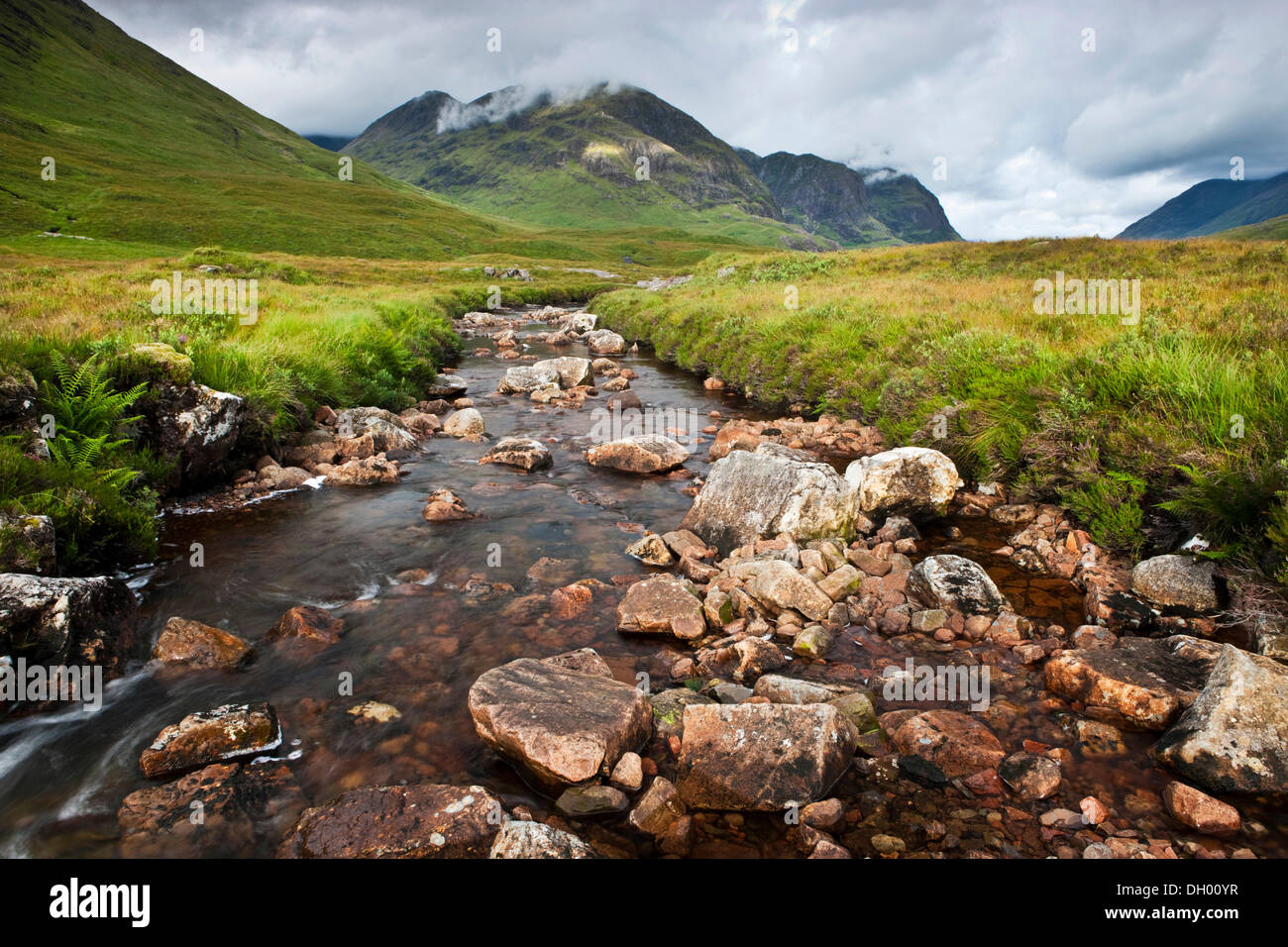 Gebirgsbach in den schottischen Highlands, Glen Coe, Schottland, Vereinigtes Königreich Stockfotohttps://www.alamy.de/image-license-details/?v=1https://www.alamy.de/gebirgsbach-in-den-schottischen-highlands-glen-coe-schottland-vereinigtes-konigreich-image62081035.html
RMDH00YR–Gebirgsbach in den schottischen Highlands, Glen Coe, Schottland, Vereinigtes Königreich
 Flüsse, die aus den Bergen Irlands Dingle Halbinsel Durchströmung der Owenmore Tal in Cloghane Mündung und Tralee Bay als angesehen f Stockfotohttps://www.alamy.de/image-license-details/?v=1https://www.alamy.de/stockfoto-flusse-die-aus-den-bergen-irlands-dingle-halbinsel-durchstromung-der-owenmore-tal-in-cloghane-mundung-und-tralee-bay-als-angesehen-f-137689602.html
RFJ008DP–Flüsse, die aus den Bergen Irlands Dingle Halbinsel Durchströmung der Owenmore Tal in Cloghane Mündung und Tralee Bay als angesehen f
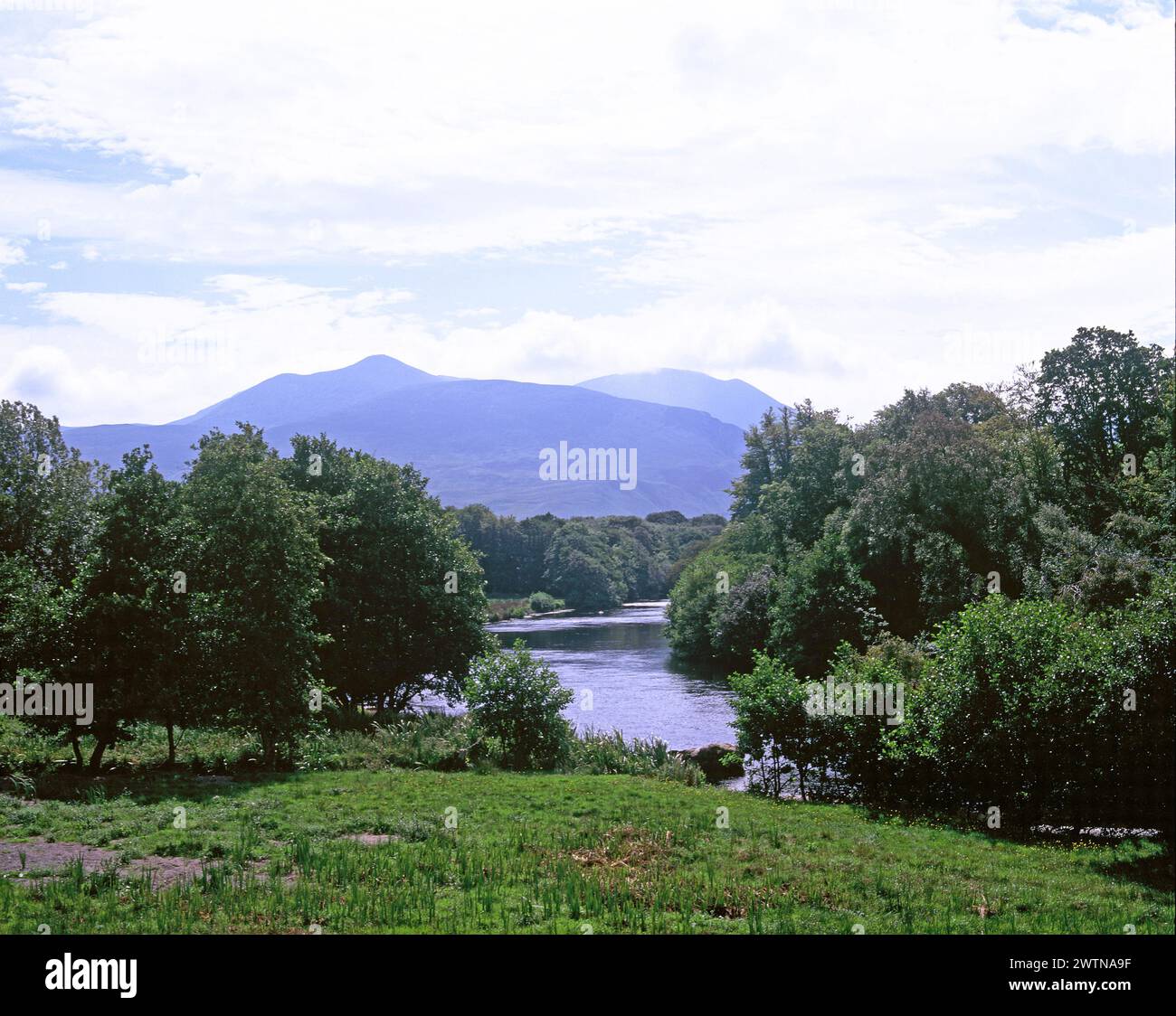 Irland. County Kerry. Killarney. River Laune. Macgillycuddy riecht. Stockfotohttps://www.alamy.de/image-license-details/?v=1https://www.alamy.de/irland-county-kerry-killarney-river-laune-macgillycuddy-riecht-image600373355.html
RM2WTNA9F–Irland. County Kerry. Killarney. River Laune. Macgillycuddy riecht.
 Gebirgsbach in das Black Valley, Killarney National Park, County Kerry, Irland Stockfotohttps://www.alamy.de/image-license-details/?v=1https://www.alamy.de/stockfoto-gebirgsbach-in-das-black-valley-killarney-national-park-county-kerry-irland-34608604.html
RMC08FHG–Gebirgsbach in das Black Valley, Killarney National Park, County Kerry, Irland
 Verschachtelung eurasischen Austernfischer (Haematopus Ostralegus), Kilcoole, Irland Stockfotohttps://www.alamy.de/image-license-details/?v=1https://www.alamy.de/stockfoto-verschachtelung-eurasischen-austernfischer-haematopus-ostralegus-kilcoole-irland-27261376.html
RMBG9T4G–Verschachtelung eurasischen Austernfischer (Haematopus Ostralegus), Kilcoole, Irland
 Berge, Flüsse und Täler in Irland Stockfotohttps://www.alamy.de/image-license-details/?v=1https://www.alamy.de/stockfoto-berge-flusse-und-taler-in-irland-169685432.html
RFKT1RE0–Berge, Flüsse und Täler in Irland
 Sonnenuntergang, Kilcoole, County Wicklow, Irland Stockfotohttps://www.alamy.de/image-license-details/?v=1https://www.alamy.de/stockfoto-sonnenuntergang-kilcoole-county-wicklow-irland-27261265.html
RMBG9T0H–Sonnenuntergang, Kilcoole, County Wicklow, Irland
 Findhorn River in Strathdearn Highlands of Scotland Stockfotohttps://www.alamy.de/image-license-details/?v=1https://www.alamy.de/findhorn-river-in-strathdearn-highlands-of-scotland-image349083859.html
RM2B7X40K–Findhorn River in Strathdearn Highlands of Scotland
 Ein Blick auf das wunderbare Irland wunderschöne Landschaft Umgebung. Stockfotohttps://www.alamy.de/image-license-details/?v=1https://www.alamy.de/stockfoto-ein-blick-auf-das-wunderbare-irland-wunderschone-landschaft-umgebung-162726366.html
RMKCMR3X–Ein Blick auf das wunderbare Irland wunderschöne Landschaft Umgebung.
 Wasserfall in Irland Stockfotohttps://www.alamy.de/image-license-details/?v=1https://www.alamy.de/stockfoto-wasserfall-in-irland-56918926.html
RFD8GTJP–Wasserfall in Irland
 Ackerland in Irland Stockfotohttps://www.alamy.de/image-license-details/?v=1https://www.alamy.de/ackerland-in-irland-image479655575.html
RF2JTA5G7–Ackerland in Irland
 Irland, Co Louth, Halbinsel Cooley, Carlingford, St John's Burg, mittelalterliche über dem Hafen Ruine Stockfotohttps://www.alamy.de/image-license-details/?v=1https://www.alamy.de/irland-co-louth-halbinsel-cooley-carlingford-st-johns-burg-mittelalterliche-uber-dem-hafen-ruine-image255327859.html
RMTRB583–Irland, Co Louth, Halbinsel Cooley, Carlingford, St John's Burg, mittelalterliche über dem Hafen Ruine
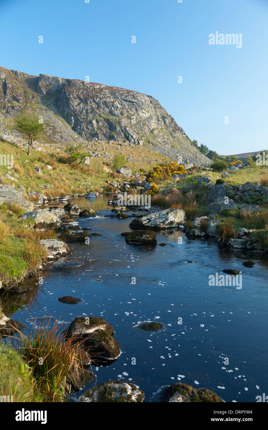 Der Cloghoge Fluss unterhalb der Klippen von Luggala, Wicklow Mountains, County Wicklow, Irland. Stockfotohttps://www.alamy.de/image-license-details/?v=1https://www.alamy.de/der-cloghoge-fluss-unterhalb-der-klippen-von-luggala-wicklow-mountains-county-wicklow-irland-image66273008.html
RMDRPYW4–Der Cloghoge Fluss unterhalb der Klippen von Luggala, Wicklow Mountains, County Wicklow, Irland.
 Ackerland in der Grafschaft Cork Irland Stockfotohttps://www.alamy.de/image-license-details/?v=1https://www.alamy.de/ackerland-in-der-grafschaft-cork-irland-image479654894.html
RF2JTA4KX–Ackerland in der Grafschaft Cork Irland
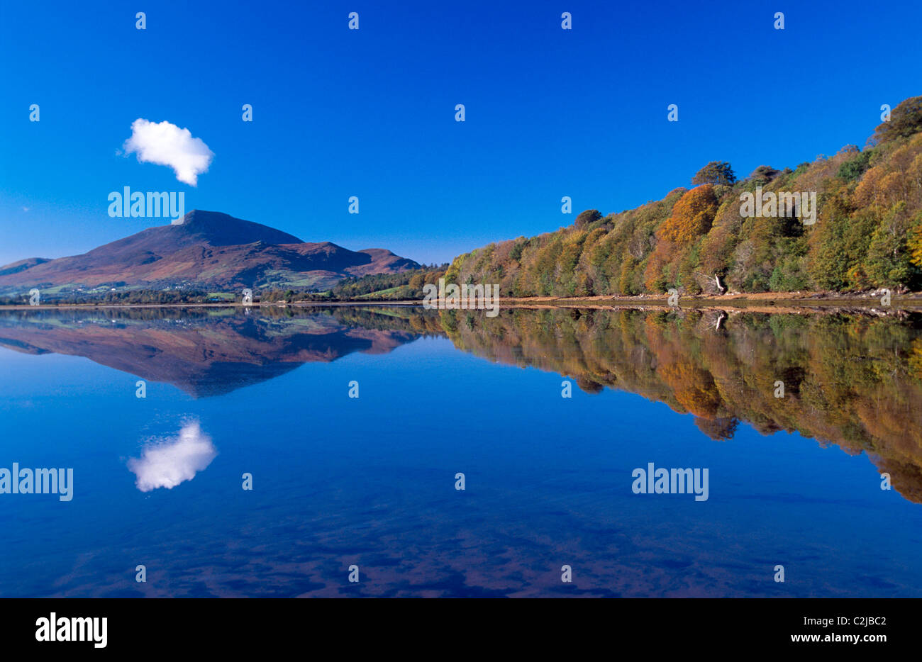 Herbst Reflexion des Muckish Berg, County Donegal, Irland. Stockfotohttps://www.alamy.de/image-license-details/?v=1https://www.alamy.de/stockfoto-herbst-reflexion-des-muckish-berg-county-donegal-irland-36054146.html
RMC2JBC2–Herbst Reflexion des Muckish Berg, County Donegal, Irland.
 Die dramatische Landschaft von Cork in Irland Stockfotohttps://www.alamy.de/image-license-details/?v=1https://www.alamy.de/die-dramatische-landschaft-von-cork-in-irland-image479655881.html
RF2JTA5Y5–Die dramatische Landschaft von Cork in Irland
 Mäander auf die Cronaniv brennen, vergiftet Glen, Derryveagh Mountains, County Donegal, Irland. Stockfotohttps://www.alamy.de/image-license-details/?v=1https://www.alamy.de/stockfoto-maander-auf-die-cronaniv-brennen-vergiftet-glen-derryveagh-mountains-county-donegal-irland-76599670.html
RMECHBJE–Mäander auf die Cronaniv brennen, vergiftet Glen, Derryveagh Mountains, County Donegal, Irland.
 Luftaufnahme der Küste um Irland Stockfotohttps://www.alamy.de/image-license-details/?v=1https://www.alamy.de/luftaufnahme-der-kuste-um-irland-image479654940.html
RF2JTA4NG–Luftaufnahme der Küste um Irland
 Dieses Bild zeigt eine bezaubernde Steinbrücke, die sich über einen kaskadierenden Gebirgsbach vor dem Hintergrund der Maumturk Mountain Range in Conne erhebt Stockfotohttps://www.alamy.de/image-license-details/?v=1https://www.alamy.de/dieses-bild-zeigt-eine-bezaubernde-steinbrucke-die-sich-uber-einen-kaskadierenden-gebirgsbach-vor-dem-hintergrund-der-maumturk-mountain-range-in-conne-erhebt-image625115610.html
RM2Y90D9E–Dieses Bild zeigt eine bezaubernde Steinbrücke, die sich über einen kaskadierenden Gebirgsbach vor dem Hintergrund der Maumturk Mountain Range in Conne erhebt
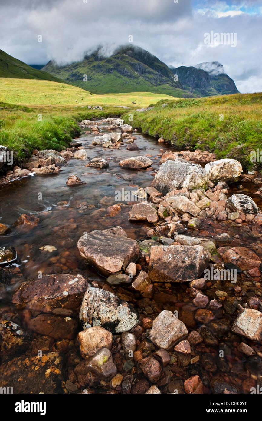 Gebirgsbach in den schottischen Highlands, Glen Coe, Schottland, Vereinigtes Königreich Stockfotohttps://www.alamy.de/image-license-details/?v=1https://www.alamy.de/gebirgsbach-in-den-schottischen-highlands-glen-coe-schottland-vereinigtes-konigreich-image62081036.html
RMDH00YT–Gebirgsbach in den schottischen Highlands, Glen Coe, Schottland, Vereinigtes Königreich
 Flüsse, die aus den Bergen Irlands Dingle Halbinsel Durchströmung der Owenmore Tal in Cloghane Mündung und Tralee Bay als angesehen f Stockfotohttps://www.alamy.de/image-license-details/?v=1https://www.alamy.de/stockfoto-flusse-die-aus-den-bergen-irlands-dingle-halbinsel-durchstromung-der-owenmore-tal-in-cloghane-mundung-und-tralee-bay-als-angesehen-f-137689590.html
RFJ008DA–Flüsse, die aus den Bergen Irlands Dingle Halbinsel Durchströmung der Owenmore Tal in Cloghane Mündung und Tralee Bay als angesehen f
 Wasserfall Wicklow Berge, Irland, Europa Stockfotohttps://www.alamy.de/image-license-details/?v=1https://www.alamy.de/stockfoto-wasserfall-wicklow-berge-irland-europa-89177114.html
RMF52A8X–Wasserfall Wicklow Berge, Irland, Europa
 Mahon Falls Walk, Comeragh Mountains, County Waterford, Irland, Stockfotohttps://www.alamy.de/image-license-details/?v=1https://www.alamy.de/mahon-falls-walk-comeragh-mountains-county-waterford-irland-image385435754.html
RM2DB236J–Mahon Falls Walk, Comeragh Mountains, County Waterford, Irland,
 Wasserfall Wicklow Berge, Irland, Europa Stockfotohttps://www.alamy.de/image-license-details/?v=1https://www.alamy.de/stockfoto-wasserfall-wicklow-berge-irland-europa-85246039.html
RMEXK85B–Wasserfall Wicklow Berge, Irland, Europa
 Aasleague fällt, in der Nähe von leenaun aka Leenane, County Galway, Irland Stockfotohttps://www.alamy.de/image-license-details/?v=1https://www.alamy.de/stockfoto-aasleague-fallt-in-der-nahe-von-leenaun-aka-leenane-county-galway-irland-164017651.html
RMKERJ57–Aasleague fällt, in der Nähe von leenaun aka Leenane, County Galway, Irland
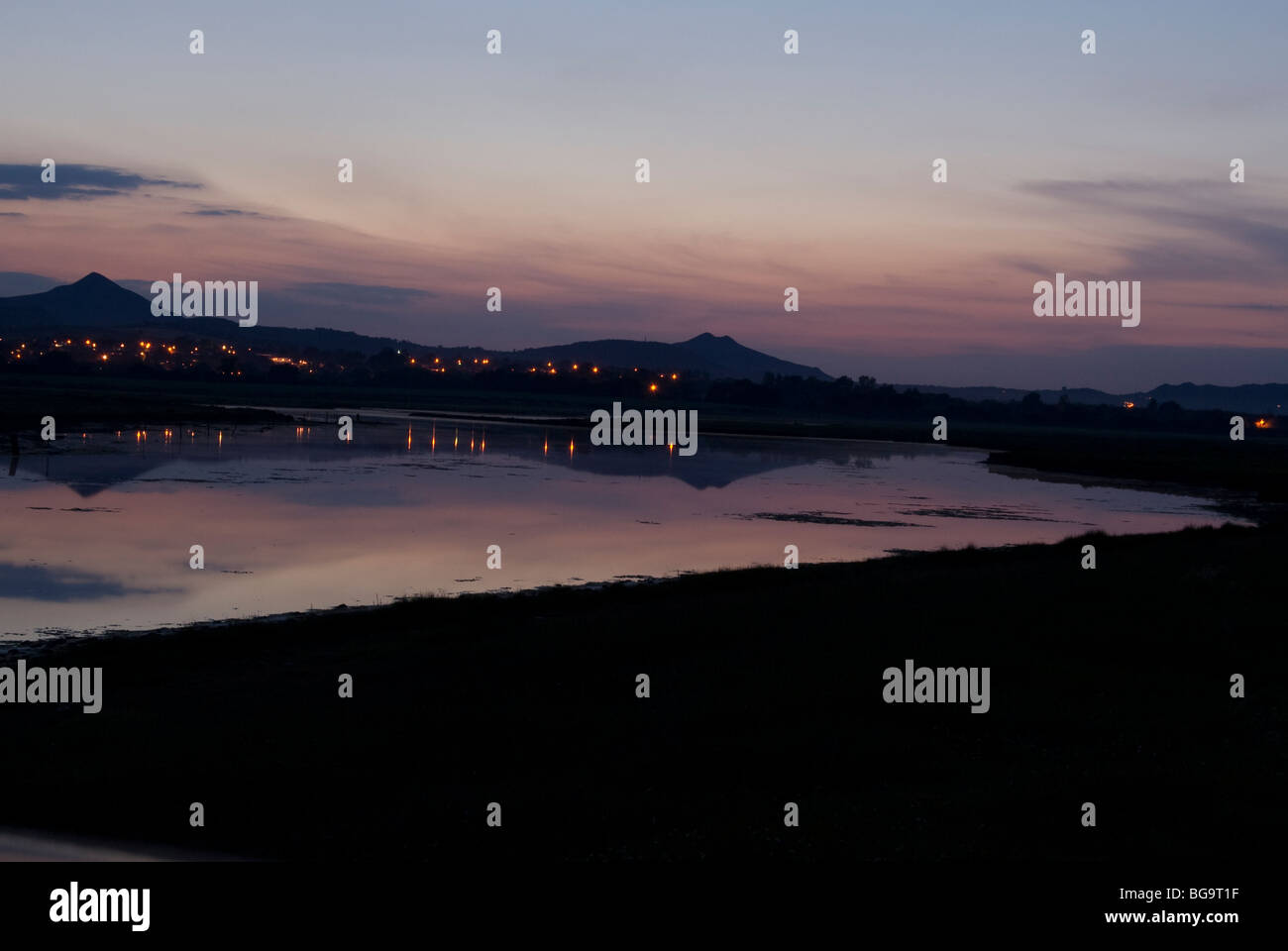 Sonnenuntergang, Kilcoole, County Wicklow, Irland Stockfotohttps://www.alamy.de/image-license-details/?v=1https://www.alamy.de/stockfoto-sonnenuntergang-kilcoole-county-wicklow-irland-27261291.html
RMBG9T1F–Sonnenuntergang, Kilcoole, County Wicklow, Irland
 Gap of Dunloe, Irland Stockfotohttps://www.alamy.de/image-license-details/?v=1https://www.alamy.de/stockfoto-gap-of-dunloe-irland-175232351.html
RFM52EJ7–Gap of Dunloe, Irland
 Ein Blick auf das wunderbare Irland wunderschöne Landschaft Umgebung. Stockfotohttps://www.alamy.de/image-license-details/?v=1https://www.alamy.de/stockfoto-ein-blick-auf-das-wunderbare-irland-wunderschone-landschaft-umgebung-162726394.html
RMKCMR4X–Ein Blick auf das wunderbare Irland wunderschöne Landschaft Umgebung.
 Blick auf einen Strand, wo Wasser Flüsse bildet, die in den Atlantik in der Keem Bay führen Stockfotohttps://www.alamy.de/image-license-details/?v=1https://www.alamy.de/blick-auf-einen-strand-wo-wasser-flusse-bildet-die-in-den-atlantik-in-der-keem-bay-fuhren-image605232535.html
RF2X4JM7K–Blick auf einen Strand, wo Wasser Flüsse bildet, die in den Atlantik in der Keem Bay führen
 Wasserfall in den Wicklow Mountains bei Glendalough Stockfotohttps://www.alamy.de/image-license-details/?v=1https://www.alamy.de/wasserfall-in-den-wicklow-mountains-bei-glendalough-image546225128.html
RF2PMJKM8–Wasserfall in den Wicklow Mountains bei Glendalough
 Clady Fluss und Mount Errigal halb von Wolken bedeckt, County Donegal, Irland Stockfotohttps://www.alamy.de/image-license-details/?v=1https://www.alamy.de/clady-fluss-und-mount-errigal-halb-von-wolken-bedeckt-county-donegal-irland-image235450037.html
RMRK1JWW–Clady Fluss und Mount Errigal halb von Wolken bedeckt, County Donegal, Irland
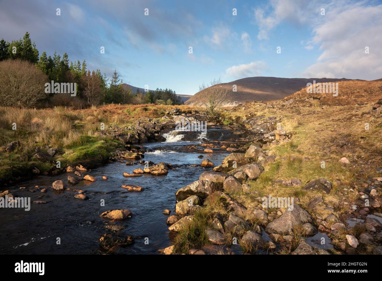 Spektakuläre Landschaft, wilde Vegetation und kristallklare Flüsse und Bäche entlang des Keenagh Loop Walk im Wild Nephin National Park in der Grafschaft Mayo Irel Stockfotohttps://www.alamy.de/image-license-details/?v=1https://www.alamy.de/spektakulare-landschaft-wilde-vegetation-und-kristallklare-flusse-und-bache-entlang-des-keenagh-loop-walk-im-wild-nephin-national-park-in-der-grafschaft-mayo-irel-image457843533.html
RM2HGTG2N–Spektakuläre Landschaft, wilde Vegetation und kristallklare Flüsse und Bäche entlang des Keenagh Loop Walk im Wild Nephin National Park in der Grafschaft Mayo Irel
 Landschaften Stockfotohttps://www.alamy.de/image-license-details/?v=1https://www.alamy.de/stockfoto-landschaften-124624043.html
RFH6N36K–Landschaften
 Landschaft der Halbinsel Dingle, Irland, County Kerry, Dingle Halbinsel Stockfotohttps://www.alamy.de/image-license-details/?v=1https://www.alamy.de/landschaft-der-halbinsel-dingle-irland-county-kerry-dingle-halbinsel-image255219049.html
RMTR66E1–Landschaft der Halbinsel Dingle, Irland, County Kerry, Dingle Halbinsel
 Nordirland, Co Armagh und Newry Newry Kanal neben dem Fluss, Blick Richtung Great Eastern Greenway und Cooley Mountains Stockfotohttps://www.alamy.de/image-license-details/?v=1https://www.alamy.de/nordirland-co-armagh-und-newry-newry-kanal-neben-dem-fluss-blick-richtung-great-eastern-greenway-und-cooley-mountains-image255328031.html
RMTRB5E7–Nordirland, Co Armagh und Newry Newry Kanal neben dem Fluss, Blick Richtung Great Eastern Greenway und Cooley Mountains
 Mäander auf die Cronaniv brennen, vergiftet Glen, Derryveagh Mountains, County Donegal, Irland. Stockfotohttps://www.alamy.de/image-license-details/?v=1https://www.alamy.de/stockfoto-maander-auf-die-cronaniv-brennen-vergiftet-glen-derryveagh-mountains-county-donegal-irland-76599667.html
RMECHBJB–Mäander auf die Cronaniv brennen, vergiftet Glen, Derryveagh Mountains, County Donegal, Irland.
 Ackerland in West Cork Stockfotohttps://www.alamy.de/image-license-details/?v=1https://www.alamy.de/ackerland-in-west-cork-image479654895.html
RF2JTA4KY–Ackerland in West Cork
 Blick entlang der Ow Flusstal von den Hängen des Lugnaquilla, Wicklow Mountains, County Wicklow, Ireland. Stockfotohttps://www.alamy.de/image-license-details/?v=1https://www.alamy.de/blick-entlang-der-ow-flusstal-von-den-hangen-des-lugnaquilla-wicklow-mountains-county-wicklow-ireland-image66273812.html
RMDRR0WT–Blick entlang der Ow Flusstal von den Hängen des Lugnaquilla, Wicklow Mountains, County Wicklow, Ireland.
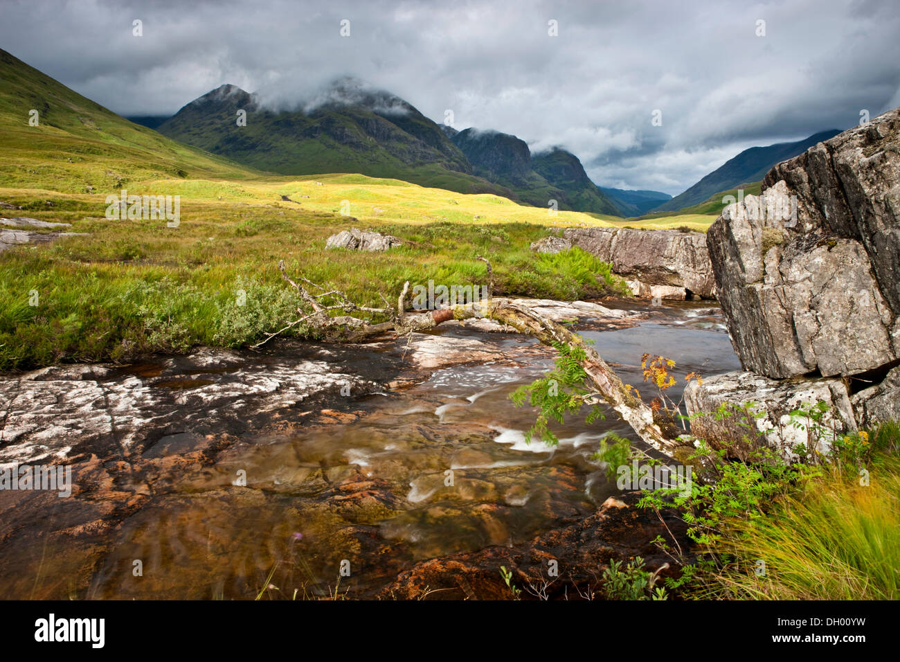 Gebirgsbach in den schottischen Highlands, Glen Coe, Schottland, Vereinigtes Königreich Stockfotohttps://www.alamy.de/image-license-details/?v=1https://www.alamy.de/gebirgsbach-in-den-schottischen-highlands-glen-coe-schottland-vereinigtes-konigreich-image62081037.html
RMDH00YW–Gebirgsbach in den schottischen Highlands, Glen Coe, Schottland, Vereinigtes Königreich
 Flüsse, die aus den Bergen Irlands Dingle Halbinsel Durchströmung der Owenmore Tal in Cloghane Mündung und Tralee Bay als angesehen f Stockfotohttps://www.alamy.de/image-license-details/?v=1https://www.alamy.de/flusse-die-aus-den-bergen-irlands-dingle-halbinsel-durchstromung-der-owenmore-tal-in-cloghane-mundung-und-tralee-bay-als-angesehen-f-image215652116.html
RFPERPD8–Flüsse, die aus den Bergen Irlands Dingle Halbinsel Durchströmung der Owenmore Tal in Cloghane Mündung und Tralee Bay als angesehen f
 Mouth of the Shannon, County Clare, Munster, Irland, Europa Stockfotohttps://www.alamy.de/image-license-details/?v=1https://www.alamy.de/mouth-of-the-shannon-county-clare-munster-irland-europa-image359558902.html
RF2BTY91A–Mouth of the Shannon, County Clare, Munster, Irland, Europa
 Mahon Falls Walk, Comeragh Mountains, County Waterford, Irland, Stockfotohttps://www.alamy.de/image-license-details/?v=1https://www.alamy.de/mahon-falls-walk-comeragh-mountains-county-waterford-irland-image385435751.html
RM2DB236F–Mahon Falls Walk, Comeragh Mountains, County Waterford, Irland,
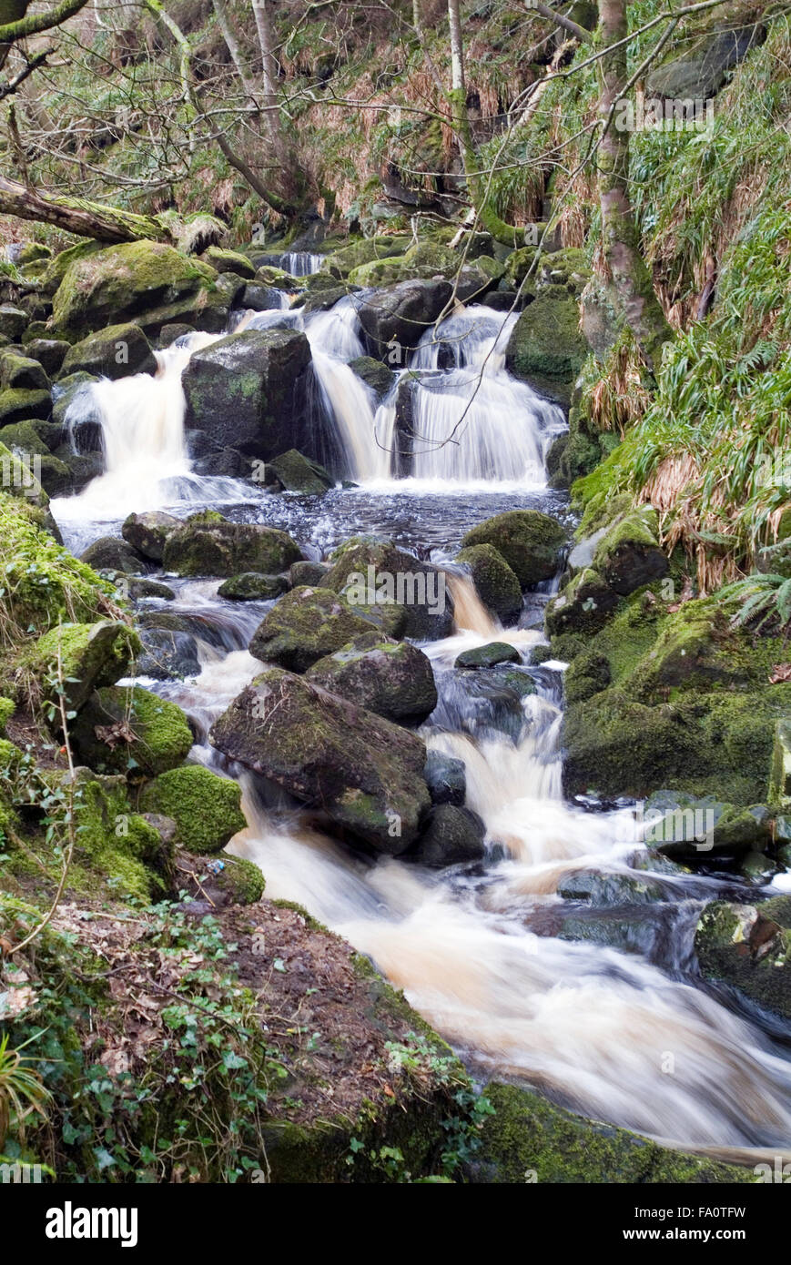 Wasserfall Wicklow Berge, Irland, Europa Stockfotohttps://www.alamy.de/image-license-details/?v=1https://www.alamy.de/stockfoto-wasserfall-wicklow-berge-irland-europa-92217661.html
RMFA0TFW–Wasserfall Wicklow Berge, Irland, Europa
 Aasleague fällt, in der Nähe von leenaun aka Leenane, County Galway, Irland Stockfotohttps://www.alamy.de/image-license-details/?v=1https://www.alamy.de/stockfoto-aasleague-fallt-in-der-nahe-von-leenaun-aka-leenane-county-galway-irland-164017682.html
RMKERJ6A–Aasleague fällt, in der Nähe von leenaun aka Leenane, County Galway, Irland
 Sonnenuntergang, Kilcoole, County Wicklow, Irland Stockfotohttps://www.alamy.de/image-license-details/?v=1https://www.alamy.de/stockfoto-sonnenuntergang-kilcoole-county-wicklow-irland-27261283.html
RMBG9T17–Sonnenuntergang, Kilcoole, County Wicklow, Irland
 Blick auf West Cork Irland Stockfotohttps://www.alamy.de/image-license-details/?v=1https://www.alamy.de/blick-auf-west-cork-irland-image479655956.html
RF2JTA61T–Blick auf West Cork Irland
 Ein Blick auf das wunderbare Irland wunderschöne Landschaft Umgebung. Stockfotohttps://www.alamy.de/image-license-details/?v=1https://www.alamy.de/stockfoto-ein-blick-auf-das-wunderbare-irland-wunderschone-landschaft-umgebung-162726345.html
RMKCMR35–Ein Blick auf das wunderbare Irland wunderschöne Landschaft Umgebung.
 Ein von Bäumen umgebenes Flussufer in Irland Stockfotohttps://www.alamy.de/image-license-details/?v=1https://www.alamy.de/ein-von-baumen-umgebenes-flussufer-in-irland-image479655345.html
RF2JTA581–Ein von Bäumen umgebenes Flussufer in Irland
 Die grianan von Aileach ist ein Hügel fort in Burt, County Donegal, Irland. Stockfotohttps://www.alamy.de/image-license-details/?v=1https://www.alamy.de/die-grianan-von-aileach-ist-ein-hugel-fort-in-burt-county-donegal-irland-image273530601.html
RFWW0B21–Die grianan von Aileach ist ein Hügel fort in Burt, County Donegal, Irland.
 Clady Fluss und Mount Errigal halb von Wolken bedeckt, County Donegal, Irland Stockfotohttps://www.alamy.de/image-license-details/?v=1https://www.alamy.de/clady-fluss-und-mount-errigal-halb-von-wolken-bedeckt-county-donegal-irland-image473508467.html
RM2JEA4TK–Clady Fluss und Mount Errigal halb von Wolken bedeckt, County Donegal, Irland
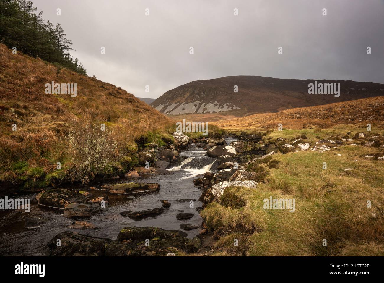 Spektakuläre Landschaft, wilde Vegetation und kristallklare Flüsse und Bäche entlang des Keenagh Loop Walk im Wild Nephin National Park in Irland. Stockfotohttps://www.alamy.de/image-license-details/?v=1https://www.alamy.de/spektakulare-landschaft-wilde-vegetation-und-kristallklare-flusse-und-bache-entlang-des-keenagh-loop-walk-im-wild-nephin-national-park-in-irland-image457843526.html
RM2HGTG2E–Spektakuläre Landschaft, wilde Vegetation und kristallklare Flüsse und Bäche entlang des Keenagh Loop Walk im Wild Nephin National Park in Irland.
 Co Mayo, Irland; Blick auf Asleague Wasserfall und Teufel Mutter Berg Stockfotohttps://www.alamy.de/image-license-details/?v=1https://www.alamy.de/stockfoto-co-mayo-irland-blick-auf-asleague-wasserfall-und-teufel-mutter-berg-33243733.html
RFBX2AM5–Co Mayo, Irland; Blick auf Asleague Wasserfall und Teufel Mutter Berg
 Wanderweg im Wild Nephin National Park Ballycroy, Irland. Eine wunderschöne, abgelegene Wildnis in der Grafschaft Mayo mit Moor, Seen, Flüssen, Bergen. Stockfotohttps://www.alamy.de/image-license-details/?v=1https://www.alamy.de/wanderweg-im-wild-nephin-national-park-ballycroy-irland-eine-wunderschone-abgelegene-wildnis-in-der-grafschaft-mayo-mit-moor-seen-flussen-bergen-image455098671.html
RM2HCBEYY–Wanderweg im Wild Nephin National Park Ballycroy, Irland. Eine wunderschöne, abgelegene Wildnis in der Grafschaft Mayo mit Moor, Seen, Flüssen, Bergen.
 Nordirland, Co Down, Shimna River Valley, Strom fließt von Slieve Meelmore Stockfotohttps://www.alamy.de/image-license-details/?v=1https://www.alamy.de/nordirland-co-down-shimna-river-valley-strom-fliesst-von-slieve-meelmore-image255327040.html
RMTRB46T–Nordirland, Co Down, Shimna River Valley, Strom fließt von Slieve Meelmore
 Eine Person auf einer Brücke; Healy Pass, County Cork, Irland Stockfotohttps://www.alamy.de/image-license-details/?v=1https://www.alamy.de/stockfoto-eine-person-auf-einer-brucke-healy-pass-county-cork-irland-37762926.html
RFC5C6YX–Eine Person auf einer Brücke; Healy Pass, County Cork, Irland
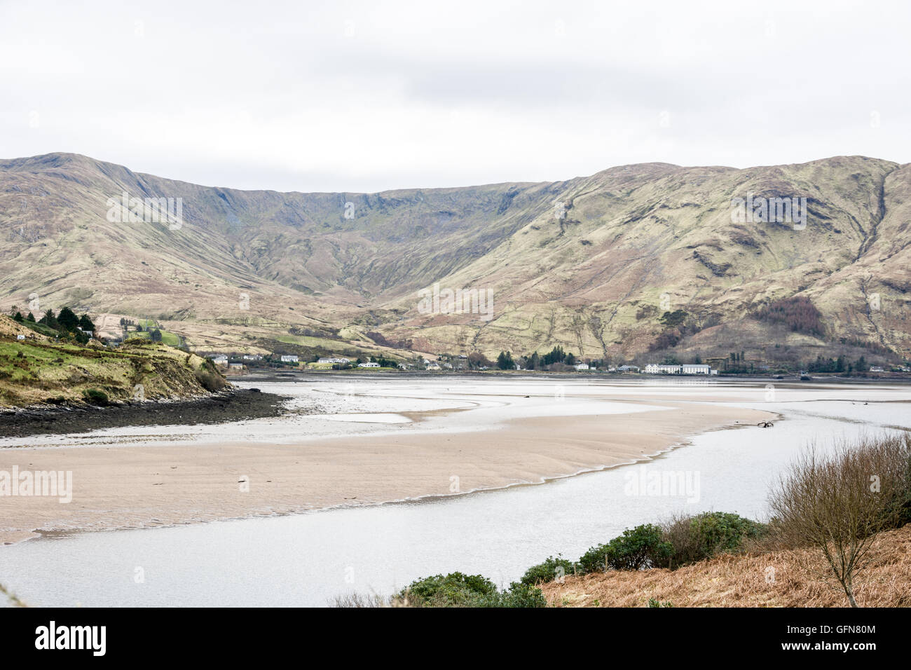 County Mayo, County Galway Stockfotohttps://www.alamy.de/image-license-details/?v=1https://www.alamy.de/stockfoto-county-mayo-county-galway-112949332.html
RMGFN80M–County Mayo, County Galway
 Blick entlang der Ow Flusstal von den Hängen des Lugnaquilla, Wicklow Mountains, County Wicklow, Ireland. Stockfotohttps://www.alamy.de/image-license-details/?v=1https://www.alamy.de/blick-entlang-der-ow-flusstal-von-den-hangen-des-lugnaquilla-wicklow-mountains-county-wicklow-ireland-image66273907.html
RMDRR117–Blick entlang der Ow Flusstal von den Hängen des Lugnaquilla, Wicklow Mountains, County Wicklow, Ireland.
 Gebirgsbach in den schottischen Highlands, Glen Coe, Schottland, Vereinigtes Königreich Stockfotohttps://www.alamy.de/image-license-details/?v=1https://www.alamy.de/gebirgsbach-in-den-schottischen-highlands-glen-coe-schottland-vereinigtes-konigreich-image62081034.html
RMDH00YP–Gebirgsbach in den schottischen Highlands, Glen Coe, Schottland, Vereinigtes Königreich
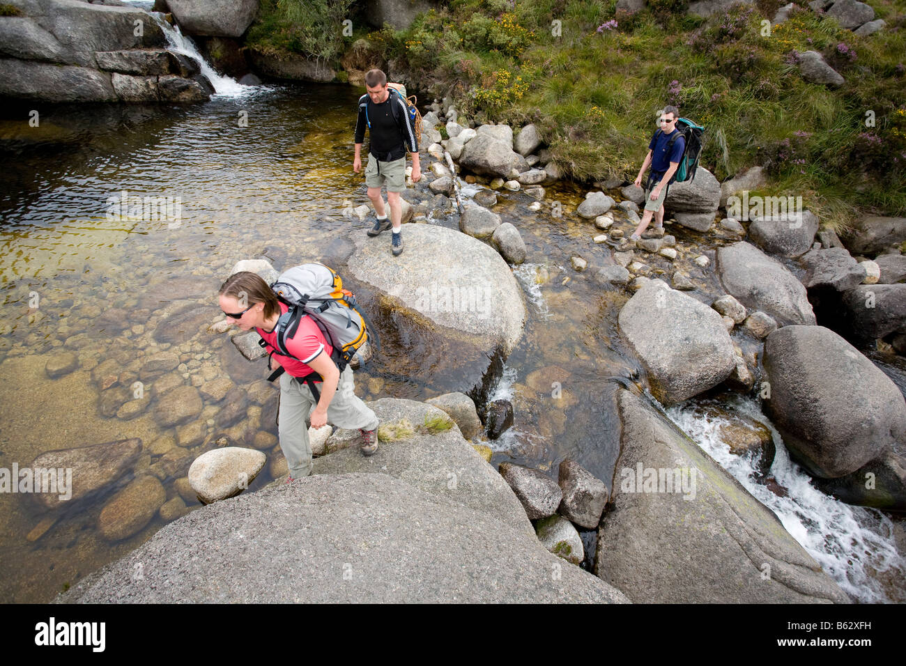 Wanderer über einen Stream im Annalong Tal, Mourne Mountains, County Down, Nordirland, Großbritannien. Stockfotohttps://www.alamy.de/image-license-details/?v=1https://www.alamy.de/stockfoto-wanderer-uber-einen-stream-im-annalong-tal-mourne-mountains-county-down-nordirland-grossbritannien-20963029.html
RMB62XFH–Wanderer über einen Stream im Annalong Tal, Mourne Mountains, County Down, Nordirland, Großbritannien.
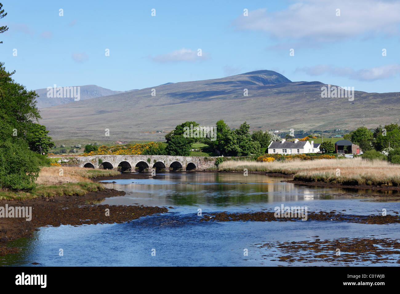 Burrishoole Brücke in der Nähe von Newport, County Mayo, Connacht, Republik Irland, Europa Stockfotohttps://www.alamy.de/image-license-details/?v=1https://www.alamy.de/stockfoto-burrishoole-brucke-in-der-nahe-von-newport-county-mayo-connacht-republik-irland-europa-34462803.html
RFC01WJB–Burrishoole Brücke in der Nähe von Newport, County Mayo, Connacht, Republik Irland, Europa
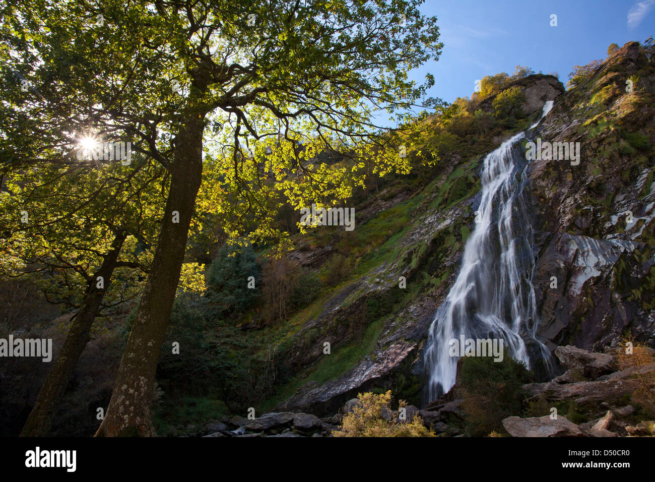 Powerscourt Wasserfall, der höchste Wasserfall in Irland, County Wicklow, Ireland. Stockfotohttps://www.alamy.de/image-license-details/?v=1https://www.alamy.de/stockfoto-powerscourt-wasserfall-der-hochste-wasserfall-in-irland-county-wicklow-ireland-54714436.html
RMD50CR0–Powerscourt Wasserfall, der höchste Wasserfall in Irland, County Wicklow, Ireland.
 Mahon Falls Walk, Comeragh Mountains, County Waterford, Irland, Stockfotohttps://www.alamy.de/image-license-details/?v=1https://www.alamy.de/mahon-falls-walk-comeragh-mountains-county-waterford-irland-image385435716.html
RM2DB2358–Mahon Falls Walk, Comeragh Mountains, County Waterford, Irland,
 Mahon Falls, Comeragh Mountains, Grafschaft Waterford, Irland. Stockfotohttps://www.alamy.de/image-license-details/?v=1https://www.alamy.de/stockfoto-mahon-falls-comeragh-mountains-grafschaft-waterford-irland-80321228.html
RMEJJXF8–Mahon Falls, Comeragh Mountains, Grafschaft Waterford, Irland.
 Kenmare River, Kenmare, Ring of Kerry, County Kerry, Irland, britische Inseln, Europa Stockfotohttps://www.alamy.de/image-license-details/?v=1https://www.alamy.de/stockfoto-kenmare-river-kenmare-ring-of-kerry-county-kerry-irland-britische-inseln-europa-34627912.html
RFC09C74–Kenmare River, Kenmare, Ring of Kerry, County Kerry, Irland, britische Inseln, Europa
 Wounderful Keem Bay auf Achill Island Stockfotohttps://www.alamy.de/image-license-details/?v=1https://www.alamy.de/stockfoto-wounderful-keem-bay-auf-achill-island-88484964.html
RFF3XRD8–Wounderful Keem Bay auf Achill Island
 Ein Blick auf das wunderbare Irland wunderschöne Landschaft Umgebung. Stockfotohttps://www.alamy.de/image-license-details/?v=1https://www.alamy.de/stockfoto-ein-blick-auf-das-wunderbare-irland-wunderschone-landschaft-umgebung-162726434.html
RMKCMR6A–Ein Blick auf das wunderbare Irland wunderschöne Landschaft Umgebung.
 Irland County Donegal der vergifteten Glen Stockfotohttps://www.alamy.de/image-license-details/?v=1https://www.alamy.de/stockfoto-irland-county-donegal-der-vergifteten-glen-31598924.html
RMBRBCN0–Irland County Donegal der vergifteten Glen
 Eine alte Mine in der Grafschaft Cork Stockfotohttps://www.alamy.de/image-license-details/?v=1https://www.alamy.de/eine-alte-mine-in-der-grafschaft-cork-image479655431.html
RF2JTA5B3–Eine alte Mine in der Grafschaft Cork
 irland, dingle, kerry, irlands, Dingles Stockfotohttps://www.alamy.de/image-license-details/?v=1https://www.alamy.de/irland-dingle-kerry-irlands-dingles-image456041336.html
RF2HDXDAG–irland, dingle, kerry, irlands, Dingles
 Fluss in der Nähe von Berg Croagh Patrick, County Mayo, Irland Stockfotohttps://www.alamy.de/image-license-details/?v=1https://www.alamy.de/fluss-in-der-nahe-von-berg-croagh-patrick-county-mayo-irland-image3082996.html
RMAWMAF5–Fluss in der Nähe von Berg Croagh Patrick, County Mayo, Irland
 Landschaft mit Orange Wildblumen in der Nähe von Glenbeigh; County Kerry, Irland Stockfotohttps://www.alamy.de/image-license-details/?v=1https://www.alamy.de/stockfoto-landschaft-mit-orange-wildblumen-in-der-nahe-von-glenbeigh-county-kerry-irland-59373578.html
RFDCGKGX–Landschaft mit Orange Wildblumen in der Nähe von Glenbeigh; County Kerry, Irland
 Derry City Council Büros zeigt den Fluss Foyle von Ebrington Barracks Derry Londonderry Stockfotohttps://www.alamy.de/image-license-details/?v=1https://www.alamy.de/stockfoto-derry-city-council-buros-zeigt-den-fluss-foyle-von-ebrington-barracks-derry-londonderry-57674475.html
RFD9R8AK–Derry City Council Büros zeigt den Fluss Foyle von Ebrington Barracks Derry Londonderry
 Nordirland, Co Down, Shimna River Valley, Strom fließt von Slieve Meelmore Stockfotohttps://www.alamy.de/image-license-details/?v=1https://www.alamy.de/nordirland-co-down-shimna-river-valley-strom-fliesst-von-slieve-meelmore-image255327047.html
RMTRB473–Nordirland, Co Down, Shimna River Valley, Strom fließt von Slieve Meelmore
 Wasserfall der Fluss Dargle, County Wicklow, Irland Stockfotohttps://www.alamy.de/image-license-details/?v=1https://www.alamy.de/stockfoto-wasserfall-der-fluss-dargle-county-wicklow-irland-21004876.html
RMB64RX4–Wasserfall der Fluss Dargle, County Wicklow, Irland
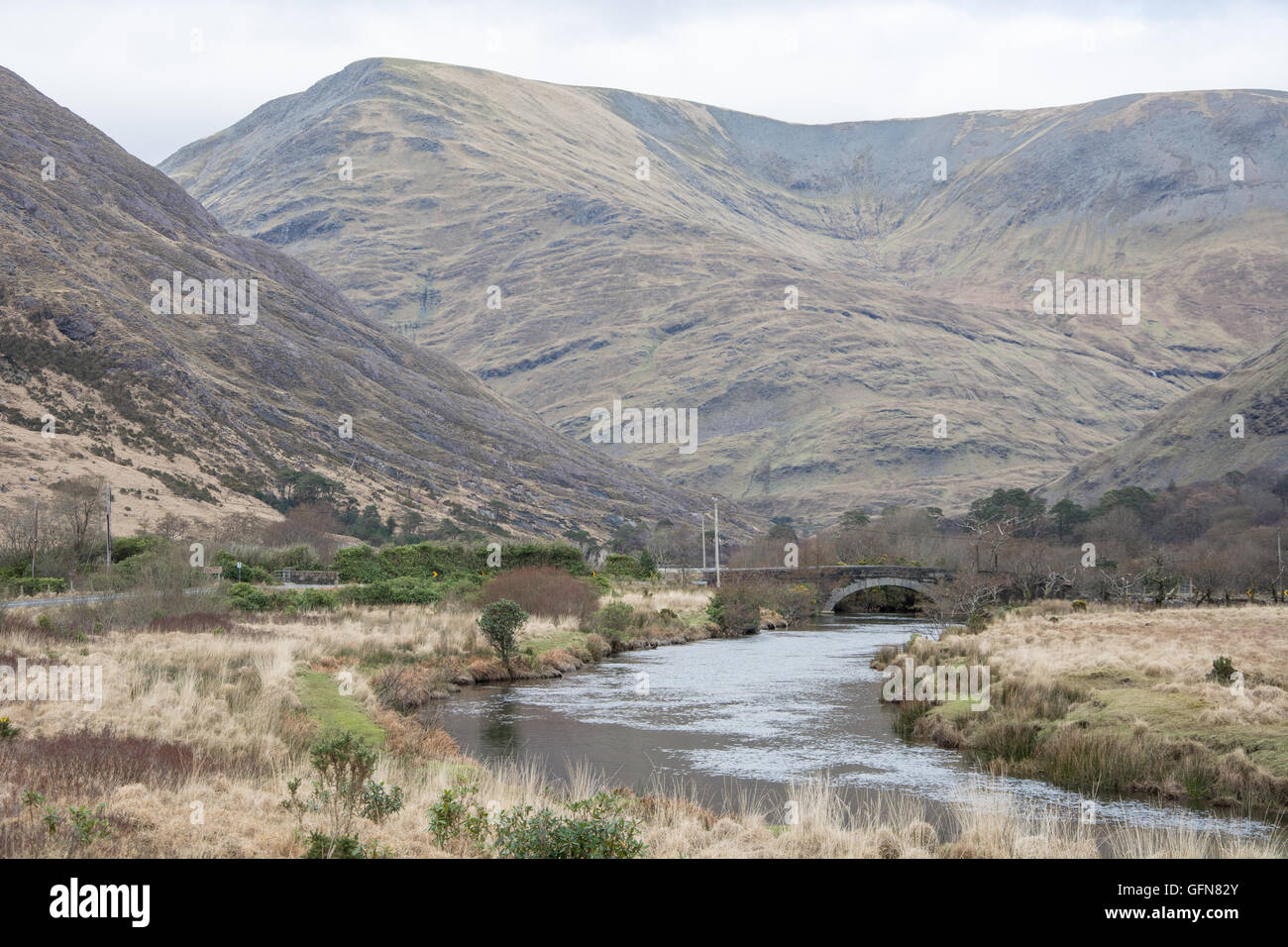 County Mayo, Grafschaft Galway Stockfotohttps://www.alamy.de/image-license-details/?v=1https://www.alamy.de/stockfoto-county-mayo-grafschaft-galway-112949395.html
RMGFN82Y–County Mayo, Grafschaft Galway
 MONDAUFGANG AM LOUGH LEANE RIVER KILLARNEY COUNTY KERRY IRLAND EUROPA Stockfotohttps://www.alamy.de/image-license-details/?v=1https://www.alamy.de/stockfoto-mondaufgang-am-lough-leane-river-killarney-county-kerry-irland-europa-30378456.html
RMBNBT0T–MONDAUFGANG AM LOUGH LEANE RIVER KILLARNEY COUNTY KERRY IRLAND EUROPA
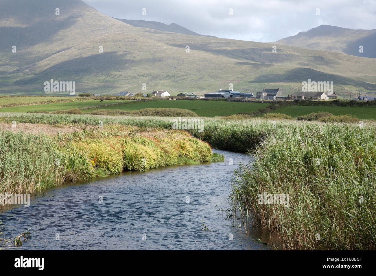 Berge, Flüsse und Wolkengebilde in Dingle Halbinsel, Irland Stockfotohttps://www.alamy.de/image-license-details/?v=1https://www.alamy.de/stockfoto-berge-flusse-und-wolkengebilde-in-dingle-halbinsel-irland-92887999.html
RFFB3BGF–Berge, Flüsse und Wolkengebilde in Dingle Halbinsel, Irland
 Killarney, Co. Kerry, Irland; Pferd-Wanderung durch die Gap Of Dunloe Stockfotohttps://www.alamy.de/image-license-details/?v=1https://www.alamy.de/stockfoto-killarney-co-kerry-irland-pferd-wanderung-durch-die-gap-of-dunloe-85662689.html
RMEYA7HN–Killarney, Co. Kerry, Irland; Pferd-Wanderung durch die Gap Of Dunloe
 Sonnenuntergang, Glendalough, Co Wicklow, Irland Stockfotohttps://www.alamy.de/image-license-details/?v=1https://www.alamy.de/stockfoto-sonnenuntergang-glendalough-co-wicklow-irland-33245244.html
RFBX2CJ4–Sonnenuntergang, Glendalough, Co Wicklow, Irland
 ANNALONG RIVER & SLIEVE LAMAGAN Mourne Mountains, Down, Nordirland, Credit:Robert Thompson / Avalon Stockfotohttps://www.alamy.de/image-license-details/?v=1https://www.alamy.de/annalong-river-slieve-lamagan-mourne-mountains-down-nordirland-creditrobert-thompson-avalon-image415027490.html
RM2F363PA–ANNALONG RIVER & SLIEVE LAMAGAN Mourne Mountains, Down, Nordirland, Credit:Robert Thompson / Avalon
 Mahon Falls Walk, Comeragh Mountains, County Waterford, Irland, Stockfotohttps://www.alamy.de/image-license-details/?v=1https://www.alamy.de/mahon-falls-walk-comeragh-mountains-county-waterford-irland-image385435755.html
RM2DB236K–Mahon Falls Walk, Comeragh Mountains, County Waterford, Irland,
 Mahon Falls, Comeragh Mountains, Grafschaft Waterford, Irland. Stockfotohttps://www.alamy.de/image-license-details/?v=1https://www.alamy.de/stockfoto-mahon-falls-comeragh-mountains-grafschaft-waterford-irland-80321230.html
RMEJJXFA–Mahon Falls, Comeragh Mountains, Grafschaft Waterford, Irland.
 Kenmare River, der Sound, Kenmare, Ring of Kerry, County Kerry, Irland, britische Inseln, Europa Stockfotohttps://www.alamy.de/image-license-details/?v=1https://www.alamy.de/stockfoto-kenmare-river-der-sound-kenmare-ring-of-kerry-county-kerry-irland-britische-inseln-europa-34627910.html
RFC09C72–Kenmare River, der Sound, Kenmare, Ring of Kerry, County Kerry, Irland, britische Inseln, Europa
 Der Gearhammen-Fluss fließt Lough Reagh von den Hängen des Stumpa Duloigh. Black Valley, County Kerry, Irland. Stockfotohttps://www.alamy.de/image-license-details/?v=1https://www.alamy.de/stockfoto-der-gearhammen-fluss-fliesst-lough-reagh-von-den-hangen-des-stumpa-duloigh-black-valley-county-kerry-irland-75679336.html
RMEB3DNC–Der Gearhammen-Fluss fließt Lough Reagh von den Hängen des Stumpa Duloigh. Black Valley, County Kerry, Irland.
 Ein Blick auf das wunderbare Irland wunderschöne Landschaft Umgebung. Stockfotohttps://www.alamy.de/image-license-details/?v=1https://www.alamy.de/stockfoto-ein-blick-auf-das-wunderbare-irland-wunderschone-landschaft-umgebung-162726373.html
RMKCMR45–Ein Blick auf das wunderbare Irland wunderschöne Landschaft Umgebung.
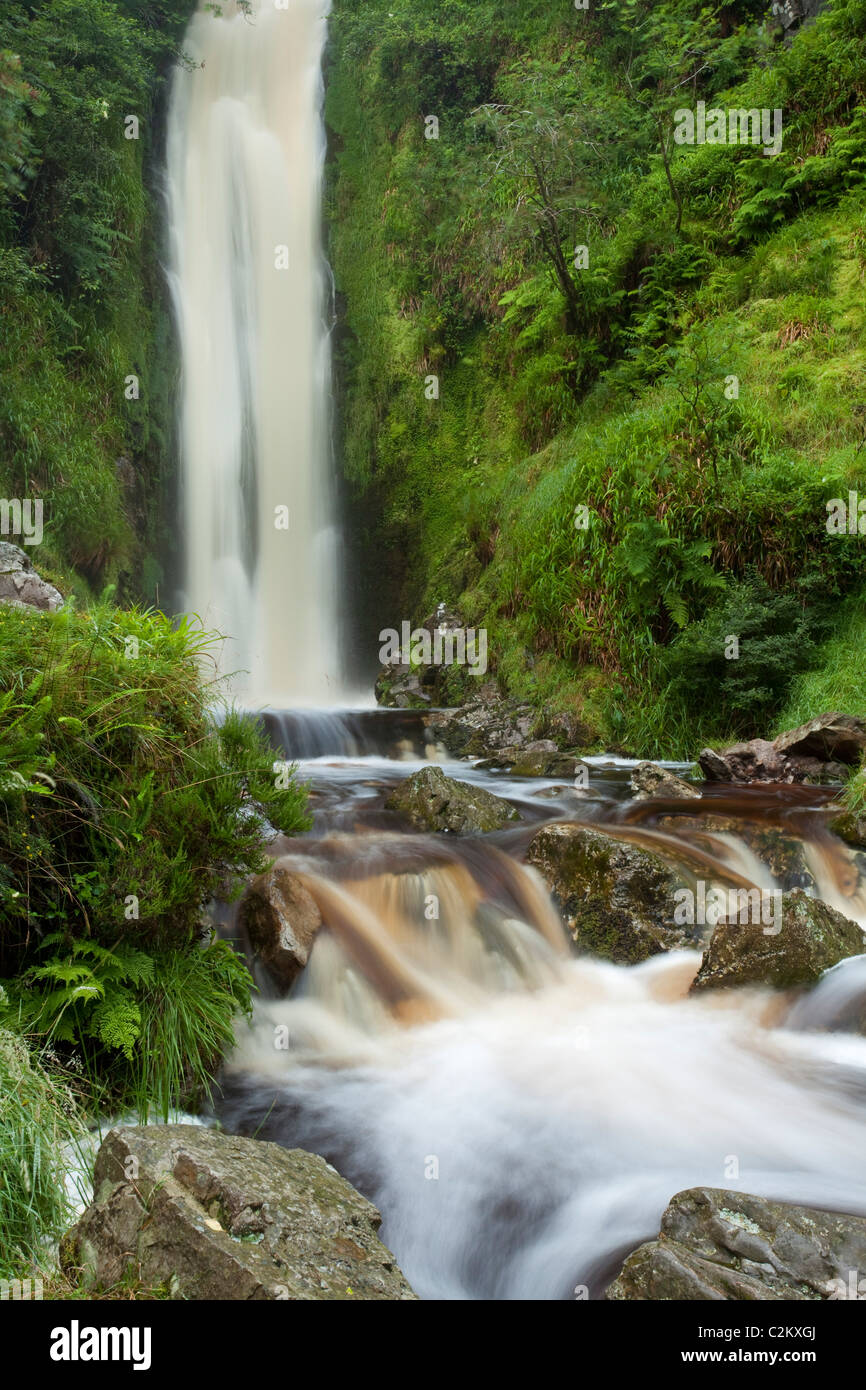 Glenevin Wasserfall, Clonmany, Inishowen, Co. Donegal, Irland. Stockfotohttps://www.alamy.de/image-license-details/?v=1https://www.alamy.de/stockfoto-glenevin-wasserfall-clonmany-inishowen-co-donegal-irland-36087986.html
RMC2KXGJ–Glenevin Wasserfall, Clonmany, Inishowen, Co. Donegal, Irland.
 Wounderful Keem Bay auf Achill Island Stockfotohttps://www.alamy.de/image-license-details/?v=1https://www.alamy.de/stockfoto-wounderful-keem-bay-auf-achill-island-88484875.html
RFF3XRA3–Wounderful Keem Bay auf Achill Island
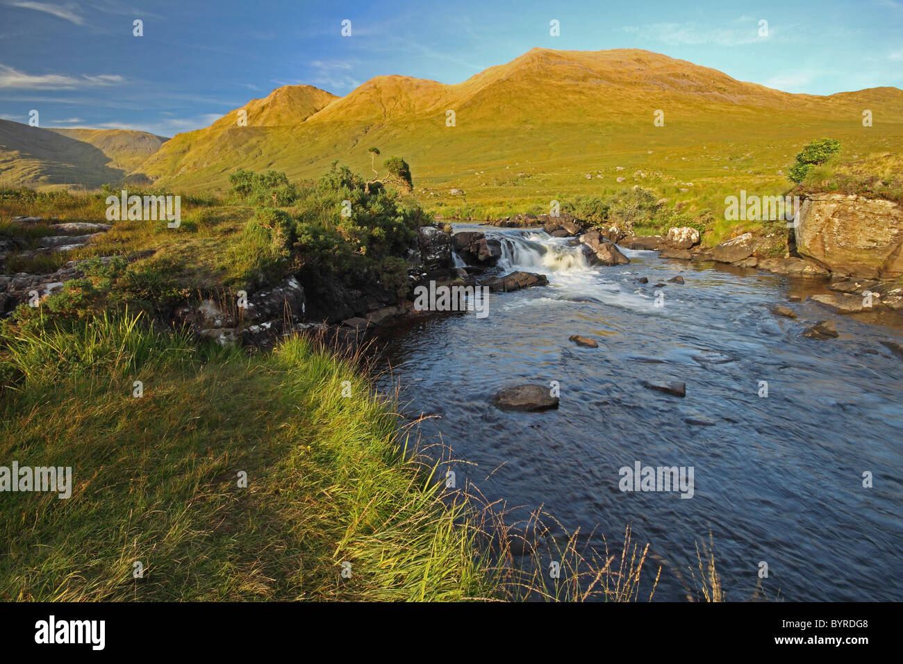 Bundorragha River im Delphi Valley in Connacht Region; County Mayo, Irland Stockfotohttps://www.alamy.de/image-license-details/?v=1https://www.alamy.de/stockfoto-bundorragha-river-im-delphi-valley-in-connacht-region-county-mayo-irland-34321624.html
RFBYRDG8–Bundorragha River im Delphi Valley in Connacht Region; County Mayo, Irland
 Wasserfall fließt ein Bach Stockfotohttps://www.alamy.de/image-license-details/?v=1https://www.alamy.de/stockfoto-wasserfall-fliesst-ein-bach-75061055.html
RFEA393Y–Wasserfall fließt ein Bach
 Grüne Felder schräg in Richtung Atlantik, lange mountain river auf dem Weg zum Meer. County Kerry, Irland, wilden Atlantik weg Stockfotohttps://www.alamy.de/image-license-details/?v=1https://www.alamy.de/stockfoto-grune-felder-schrag-in-richtung-atlantik-lange-mountain-river-auf-dem-weg-zum-meer-county-kerry-irland-wilden-atlantik-weg-11268599.html
RMA5CC4T–Grüne Felder schräg in Richtung Atlantik, lange mountain river auf dem Weg zum Meer. County Kerry, Irland, wilden Atlantik weg
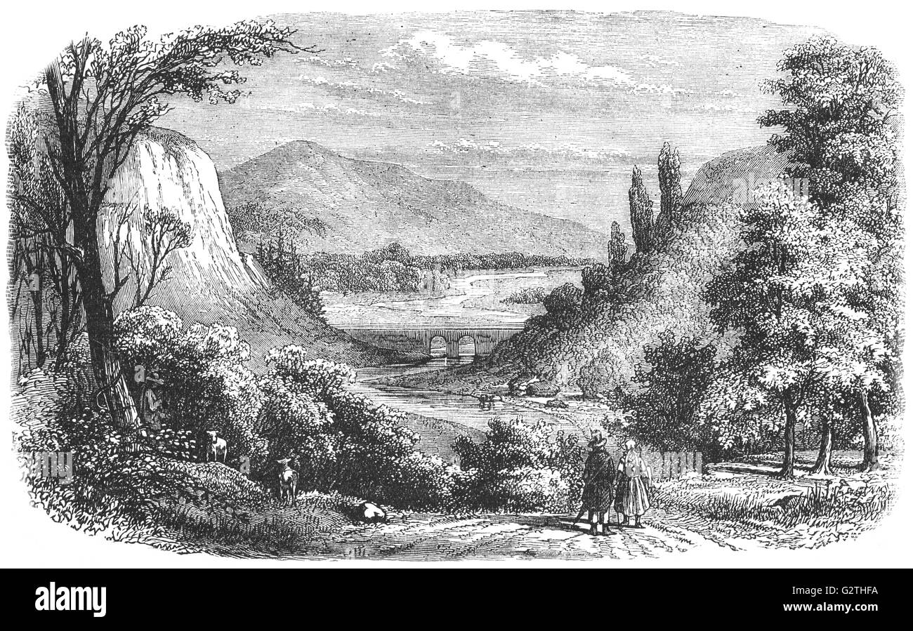 19. Jahrhundert Blick auf das Vale von Avoca, zugeordnete Kupferbergbau seit vielen Jahren, und das berühmte Lied "The Meeting of the Waters" von Thomas Moore feierte. Der Name des Liedes stammt aus der Besprechung der Avonmore und Avonbeg Flüsse, etwa zwei Meilen vom Dorf von Avoca, im County Wicklow, Ireland. Thomas Moore war der Sohn eines Schuhmachers, 28. Mai 1779 in Dublin geboren. Er war ein Dichter, Satiriker, Komponist und Musiker der Note. Stockfotohttps://www.alamy.de/image-license-details/?v=1https://www.alamy.de/stockfoto-19-jahrhundert-blick-auf-das-vale-von-avoca-zugeordnete-kupferbergbau-seit-vielen-jahren-und-das-beruhmte-lied-the-meeting-of-the-waters-von-thomas-moore-feierte-der-name-des-liedes-stammt-aus-der-besprechung-der-avonmore-und-avonbeg-flusse-etwa-zwei-meilen-vom-dorf-von-avoca-im-county-wicklow-ireland-thomas-moore-war-der-sohn-eines-schuhmachers-28-mai-1779-in-dublin-geboren-er-war-ein-dichter-satiriker-komponist-und-musiker-der-note-105032126.html
RMG2THFA–19. Jahrhundert Blick auf das Vale von Avoca, zugeordnete Kupferbergbau seit vielen Jahren, und das berühmte Lied "The Meeting of the Waters" von Thomas Moore feierte. Der Name des Liedes stammt aus der Besprechung der Avonmore und Avonbeg Flüsse, etwa zwei Meilen vom Dorf von Avoca, im County Wicklow, Ireland. Thomas Moore war der Sohn eines Schuhmachers, 28. Mai 1779 in Dublin geboren. Er war ein Dichter, Satiriker, Komponist und Musiker der Note.
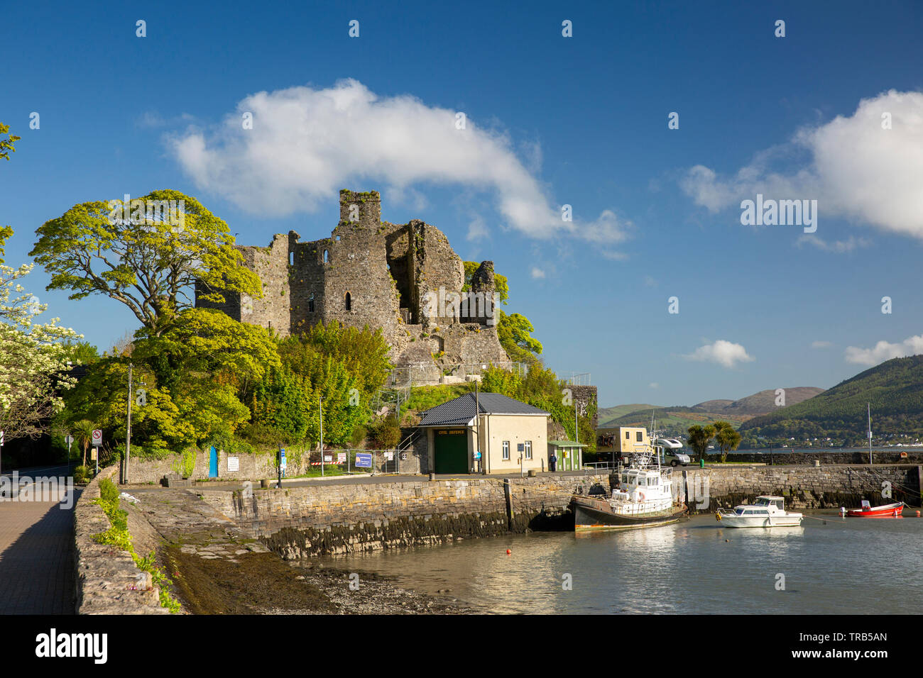 Irland, Co Louth, Halbinsel Cooley, Carlingford, St John's Burg, mittelalterliche über dem Hafen Ruine Stockfotohttps://www.alamy.de/image-license-details/?v=1https://www.alamy.de/irland-co-louth-halbinsel-cooley-carlingford-st-johns-burg-mittelalterliche-uber-dem-hafen-ruine-image255327933.html
RMTRB5AN–Irland, Co Louth, Halbinsel Cooley, Carlingford, St John's Burg, mittelalterliche über dem Hafen Ruine
