Fluss trent luftdrohne Stockfotos & Bilder
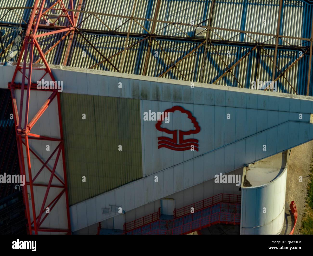 Nottingham Forrest The City Count und Meadow Lane Notts County aus der Luft, Luftaufnahme von einer Drohne River Trent Nottingham Stockfotohttps://www.alamy.de/image-license-details/?v=1https://www.alamy.de/nottingham-forrest-the-city-count-und-meadow-lane-notts-county-aus-der-luft-luftaufnahme-von-einer-drohne-river-trent-nottingham-image477586587.html
RM2JMYXFR–Nottingham Forrest The City Count und Meadow Lane Notts County aus der Luft, Luftaufnahme von einer Drohne River Trent Nottingham
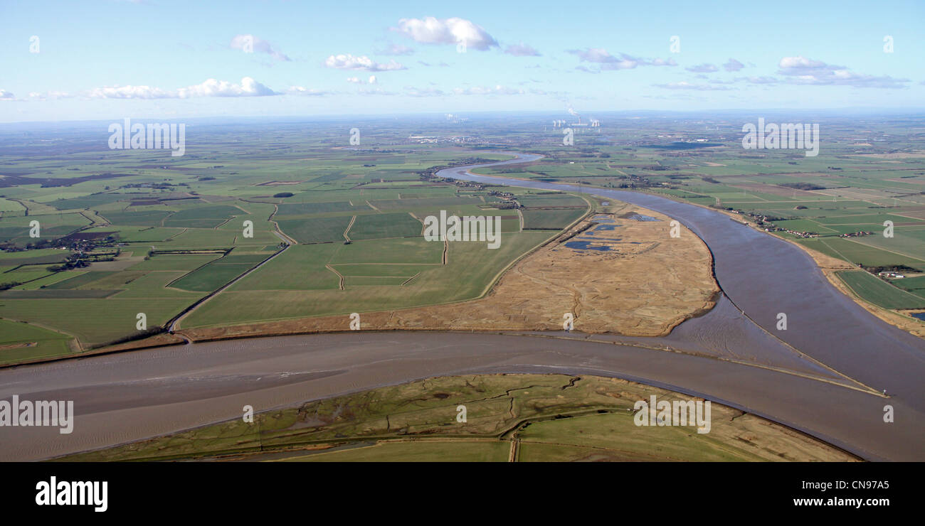 Luftaufnahme von RSPB Blacktoft Sands bei Trent Falls, River Humber Stockfotohttps://www.alamy.de/image-license-details/?v=1https://www.alamy.de/stockfoto-luftaufnahme-von-rspb-blacktoft-sands-bei-trent-falls-river-humber-47531853.html
RMCN97A5–Luftaufnahme von RSPB Blacktoft Sands bei Trent Falls, River Humber
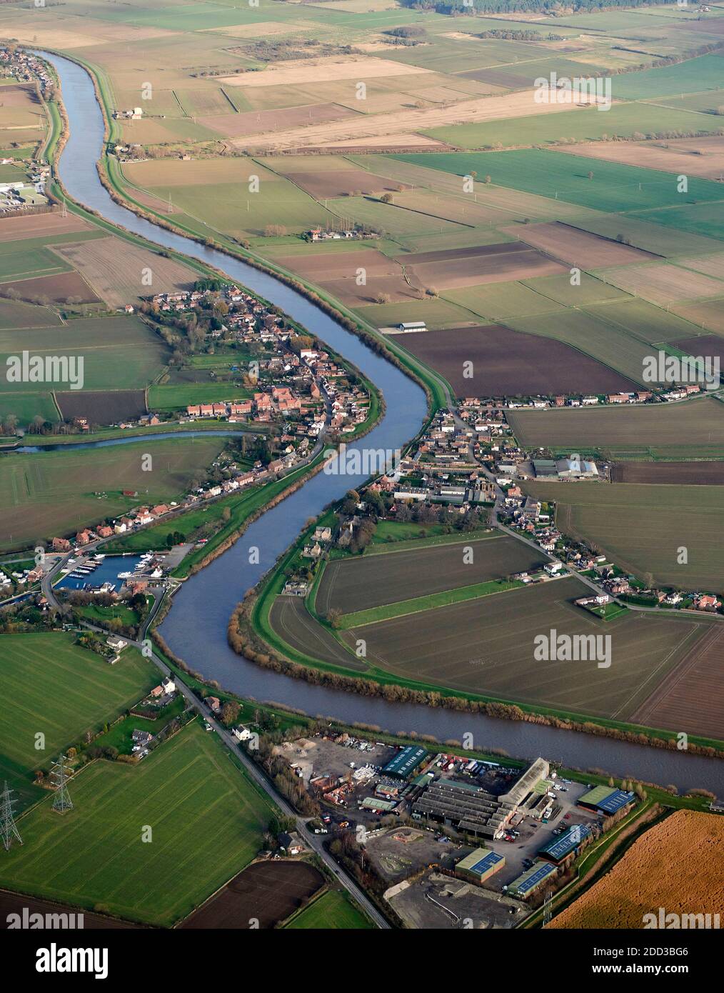 Ein Luftbild der Dörfer von Ost und West Stockwith, geteilt durch den Fluss Trent, Nordengland, Großbritannien Stockfotohttps://www.alamy.de/image-license-details/?v=1https://www.alamy.de/ein-luftbild-der-dorfer-von-ost-und-west-stockwith-geteilt-durch-den-fluss-trent-nordengland-grossbritannien-image386693558.html
RF2DD3BG6–Ein Luftbild der Dörfer von Ost und West Stockwith, geteilt durch den Fluss Trent, Nordengland, Großbritannien
 Luftaufnahme der Abwasseraufbereitungsstelle Severn Trent neben dem River Derwent in der Nähe von Cromford Derbyshire Foto Mai 2024 Stockfotohttps://www.alamy.de/image-license-details/?v=1https://www.alamy.de/luftaufnahme-der-abwasseraufbereitungsstelle-severn-trent-neben-dem-river-derwent-in-der-nahe-von-cromford-derbyshire-foto-mai-2024-image605542868.html
RM2X54T30–Luftaufnahme der Abwasseraufbereitungsstelle Severn Trent neben dem River Derwent in der Nähe von Cromford Derbyshire Foto Mai 2024
 King Power Stadium, Heimstadion des Leicester City Football Club. Luftbild. September 2024. Stockfotohttps://www.alamy.de/image-license-details/?v=1https://www.alamy.de/king-power-stadium-heimstadion-des-leicester-city-football-club-luftbild-september-2024-image626649793.html
RF2YBEA5N–King Power Stadium, Heimstadion des Leicester City Football Club. Luftbild. September 2024.
 Newark Town Lock am Fluss Trent. Stockfotohttps://www.alamy.de/image-license-details/?v=1https://www.alamy.de/newark-town-lock-am-fluss-trent-image589701213.html
RF2W7B5WH–Newark Town Lock am Fluss Trent.
 DJI Mavic 2 Pro Drohne Stockfotohttps://www.alamy.de/image-license-details/?v=1https://www.alamy.de/dji-mavic-2-pro-drohne-image450792976.html
RF2H5BB14–DJI Mavic 2 Pro Drohne
 Eine Luftaufnahme der Ferry Bridge über den Fluss Trent in Staffordshire, England Stockfotohttps://www.alamy.de/image-license-details/?v=1https://www.alamy.de/eine-luftaufnahme-der-ferry-bridge-uber-den-fluss-trent-in-staffordshire-england-image487318388.html
RF2K8R7G4–Eine Luftaufnahme der Ferry Bridge über den Fluss Trent in Staffordshire, England
 The Hook, Lady Bay, West Bridgford, Nottingham Stockfotohttps://www.alamy.de/image-license-details/?v=1https://www.alamy.de/the-hook-lady-bay-west-bridgford-nottingham-image365433454.html
RF2C6EX2P–The Hook, Lady Bay, West Bridgford, Nottingham
 Pont du sart Aquädukt Kanal in Belgien von oben Stockfotohttps://www.alamy.de/image-license-details/?v=1https://www.alamy.de/pont-du-sart-aquadukt-kanal-in-belgien-von-oben-image454895222.html
RF2HC27DX–Pont du sart Aquädukt Kanal in Belgien von oben
 Das Hook Nature Reserve West Bridgford Nottingham Stockfotohttps://www.alamy.de/image-license-details/?v=1https://www.alamy.de/das-hook-nature-reserve-west-bridgford-nottingham-image450792368.html
RF2H5BA7C–Das Hook Nature Reserve West Bridgford Nottingham
 Die Sonne geht über die Stadt, während die Straßenbeleuchtung eines der Mittelklassebereiche der Stadt, das Gesundheitszentrum Longton, NHS, beleuchtet Stockfotohttps://www.alamy.de/image-license-details/?v=1https://www.alamy.de/die-sonne-geht-uber-die-stadt-wahrend-die-strassenbeleuchtung-eines-der-mittelklassebereiche-der-stadt-das-gesundheitszentrum-longton-nhs-beleuchtet-image338413943.html
RF2AJG2C7–Die Sonne geht über die Stadt, während die Straßenbeleuchtung eines der Mittelklassebereiche der Stadt, das Gesundheitszentrum Longton, NHS, beleuchtet
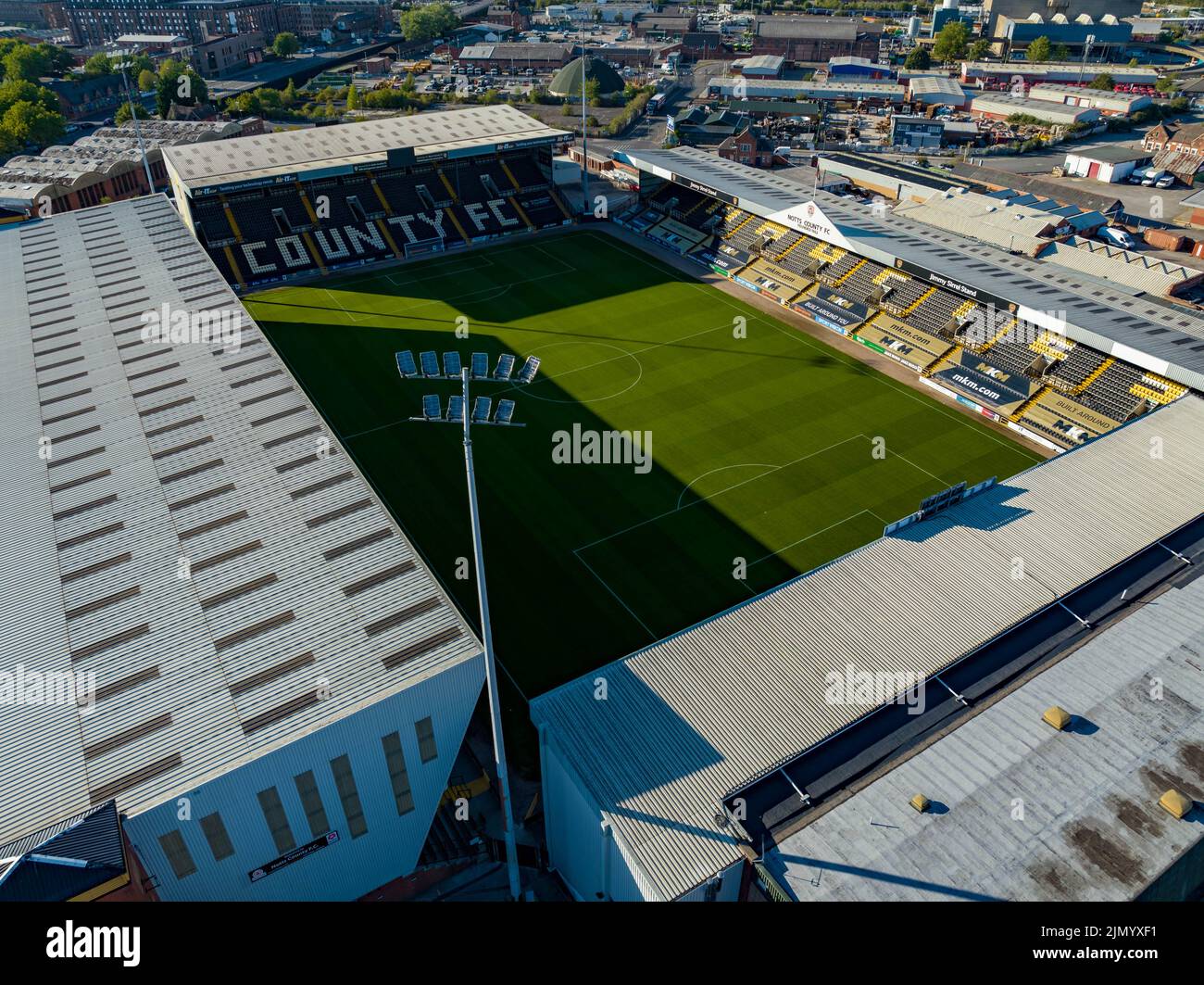 Nottingham Forrest The City Count und Meadow Lane Notts County aus der Luft, Luftaufnahme von einer Drohne River Trent Nottingham Stockfotohttps://www.alamy.de/image-license-details/?v=1https://www.alamy.de/nottingham-forrest-the-city-count-und-meadow-lane-notts-county-aus-der-luft-luftaufnahme-von-einer-drohne-river-trent-nottingham-image477586565.html
RM2JMYXF1–Nottingham Forrest The City Count und Meadow Lane Notts County aus der Luft, Luftaufnahme von einer Drohne River Trent Nottingham
 Luftaufnahme von RSPB Blacktoft Sands bei Trent Falls, River Humber Stockfotohttps://www.alamy.de/image-license-details/?v=1https://www.alamy.de/stockfoto-luftaufnahme-von-rspb-blacktoft-sands-bei-trent-falls-river-humber-47531940.html
RMCN97D8–Luftaufnahme von RSPB Blacktoft Sands bei Trent Falls, River Humber
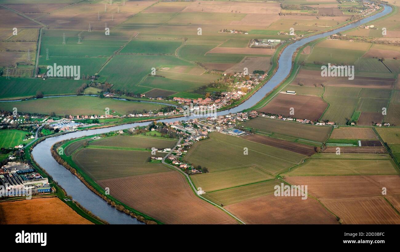 Ein Luftbild der Dörfer von Ost und West Stockwith, geteilt durch den Fluss Trent, Nordengland, Großbritannien Stockfotohttps://www.alamy.de/image-license-details/?v=1https://www.alamy.de/ein-luftbild-der-dorfer-von-ost-und-west-stockwith-geteilt-durch-den-fluss-trent-nordengland-grossbritannien-image386693536.html
RF2DD3BFC–Ein Luftbild der Dörfer von Ost und West Stockwith, geteilt durch den Fluss Trent, Nordengland, Großbritannien
 Luftaufnahme der Abwasseraufbereitungsstelle Severn Trent neben dem River Derwent in der Nähe von Cromford Derbyshire Foto Mai 2024 Stockfotohttps://www.alamy.de/image-license-details/?v=1https://www.alamy.de/luftaufnahme-der-abwasseraufbereitungsstelle-severn-trent-neben-dem-river-derwent-in-der-nahe-von-cromford-derbyshire-foto-mai-2024-image605542874.html
RM2X54T36–Luftaufnahme der Abwasseraufbereitungsstelle Severn Trent neben dem River Derwent in der Nähe von Cromford Derbyshire Foto Mai 2024
 King Power Stadium, Heimstadion des Leicester City Football Club. Luftbild. September 2024. Stockfotohttps://www.alamy.de/image-license-details/?v=1https://www.alamy.de/king-power-stadium-heimstadion-des-leicester-city-football-club-luftbild-september-2024-image626649379.html
RF2YBE9JY–King Power Stadium, Heimstadion des Leicester City Football Club. Luftbild. September 2024.
 Farbiges Newark Town Lock am Fluss Trent Stockfotohttps://www.alamy.de/image-license-details/?v=1https://www.alamy.de/farbiges-newark-town-lock-am-fluss-trent-image594774231.html
RF2WFJ8GR–Farbiges Newark Town Lock am Fluss Trent
 Eine Luftaufnahme der Ferry Bridge über den Fluss Trent in Staffordshire, England Stockfotohttps://www.alamy.de/image-license-details/?v=1https://www.alamy.de/eine-luftaufnahme-der-ferry-bridge-uber-den-fluss-trent-in-staffordshire-england-image487318413.html
RF2K8R7H1–Eine Luftaufnahme der Ferry Bridge über den Fluss Trent in Staffordshire, England
 Linie von traditionellen Gebäuden mit Autos stehen und Kanal im Vordergrund in einer Stadt von Saint-Omer, Sommer in Frankreich. Stockfotohttps://www.alamy.de/image-license-details/?v=1https://www.alamy.de/linie-von-traditionellen-gebauden-mit-autos-stehen-und-kanal-im-vordergrund-in-einer-stadt-von-saint-omer-sommer-in-frankreich-image454364910.html
RF2HB6326–Linie von traditionellen Gebäuden mit Autos stehen und Kanal im Vordergrund in einer Stadt von Saint-Omer, Sommer in Frankreich.
 Die Sonne geht über die Stadt, während die Straßenbeleuchtung eines der Mittelklassebereiche der Stadt, das Gesundheitszentrum Longton, NHS, beleuchtet Stockfotohttps://www.alamy.de/image-license-details/?v=1https://www.alamy.de/die-sonne-geht-uber-die-stadt-wahrend-die-strassenbeleuchtung-eines-der-mittelklassebereiche-der-stadt-das-gesundheitszentrum-longton-nhs-beleuchtet-image338413967.html
RF2AJG2D3–Die Sonne geht über die Stadt, während die Straßenbeleuchtung eines der Mittelklassebereiche der Stadt, das Gesundheitszentrum Longton, NHS, beleuchtet
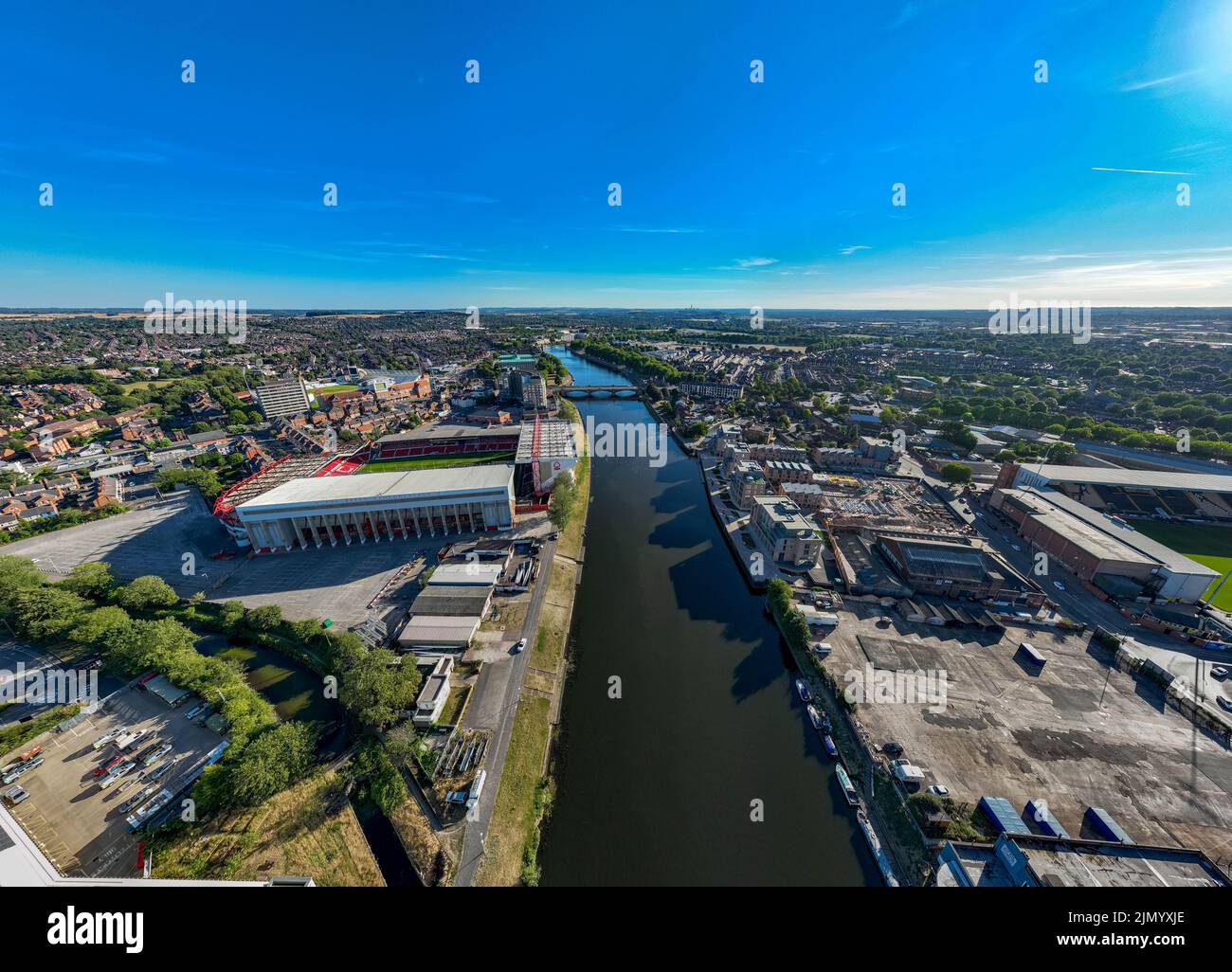 Nottingham Forrest The City Count und Meadow Lane Notts County aus der Luft, Luftaufnahme von einer Drohne River Trent Nottingham Stockfotohttps://www.alamy.de/image-license-details/?v=1https://www.alamy.de/nottingham-forrest-the-city-count-und-meadow-lane-notts-county-aus-der-luft-luftaufnahme-von-einer-drohne-river-trent-nottingham-image477586662.html
RM2JMYXJE–Nottingham Forrest The City Count und Meadow Lane Notts County aus der Luft, Luftaufnahme von einer Drohne River Trent Nottingham
 Luftaufnahme von RSPB Blacktoft Sands bei Trent Falls, River Humber Stockfotohttps://www.alamy.de/image-license-details/?v=1https://www.alamy.de/stockfoto-luftaufnahme-von-rspb-blacktoft-sands-bei-trent-falls-river-humber-47531807.html
RMCN978F–Luftaufnahme von RSPB Blacktoft Sands bei Trent Falls, River Humber
 Ein Luftbild des West Burton Kraftwerks, River Trent, Gainsborough, Nordengland, Großbritannien Stockfotohttps://www.alamy.de/image-license-details/?v=1https://www.alamy.de/ein-luftbild-des-west-burton-kraftwerks-river-trent-gainsborough-nordengland-grossbritannien-image386693532.html
RM2DD3BF8–Ein Luftbild des West Burton Kraftwerks, River Trent, Gainsborough, Nordengland, Großbritannien
 Luftaufnahme von Osten und Westen Stockwith Dörfer rittlings auf dem Fluss Trent, in der Nähe von Gainsborough, Lincolnshire Stockfotohttps://www.alamy.de/image-license-details/?v=1https://www.alamy.de/luftaufnahme-von-osten-und-westen-stockwith-dorfer-rittlings-auf-dem-fluss-trent-in-der-nahe-von-gainsborough-lincolnshire-image238171873.html
RMRRDJJ9–Luftaufnahme von Osten und Westen Stockwith Dörfer rittlings auf dem Fluss Trent, in der Nähe von Gainsborough, Lincolnshire
 Luftaufnahme der Abwasseraufbereitungsstelle Severn Trent neben dem River Derwent in der Nähe von Cromford Derbyshire Foto Mai 2024 Stockfotohttps://www.alamy.de/image-license-details/?v=1https://www.alamy.de/luftaufnahme-der-abwasseraufbereitungsstelle-severn-trent-neben-dem-river-derwent-in-der-nahe-von-cromford-derbyshire-foto-mai-2024-image605542872.html
RM2X54T34–Luftaufnahme der Abwasseraufbereitungsstelle Severn Trent neben dem River Derwent in der Nähe von Cromford Derbyshire Foto Mai 2024
 King Power Stadium, Heimstadion des Leicester City Football Club. Luftbild. September 2024. Stockfotohttps://www.alamy.de/image-license-details/?v=1https://www.alamy.de/king-power-stadium-heimstadion-des-leicester-city-football-club-luftbild-september-2024-image626649350.html
RF2YBE9HX–King Power Stadium, Heimstadion des Leicester City Football Club. Luftbild. September 2024.
 Newark Town Lock am Fluss Trent, schwarz-weiß. Stockfotohttps://www.alamy.de/image-license-details/?v=1https://www.alamy.de/newark-town-lock-am-fluss-trent-schwarz-weiss-image589698948.html
RF2W7B30M–Newark Town Lock am Fluss Trent, schwarz-weiß.
 Luftaufnahme des Newark auf Trent. Stockfotohttps://www.alamy.de/image-license-details/?v=1https://www.alamy.de/luftaufnahme-des-newark-auf-trent-image589699651.html
RF2W7B3WR–Luftaufnahme des Newark auf Trent.
 Newark Castle befindet sich in Newark auf Trent in Nottinghamshire. Stockfotohttps://www.alamy.de/image-license-details/?v=1https://www.alamy.de/newark-castle-befindet-sich-in-newark-auf-trent-in-nottinghamshire-image589700608.html
RF2W7B540–Newark Castle befindet sich in Newark auf Trent in Nottinghamshire.
 Die Sonne geht über die Stadt, während die Straßenbeleuchtung eines der Mittelklassebereiche der Stadt, das Gesundheitszentrum Longton, NHS, beleuchtet Stockfotohttps://www.alamy.de/image-license-details/?v=1https://www.alamy.de/die-sonne-geht-uber-die-stadt-wahrend-die-strassenbeleuchtung-eines-der-mittelklassebereiche-der-stadt-das-gesundheitszentrum-longton-nhs-beleuchtet-image338413930.html
RF2AJG2BP–Die Sonne geht über die Stadt, während die Straßenbeleuchtung eines der Mittelklassebereiche der Stadt, das Gesundheitszentrum Longton, NHS, beleuchtet
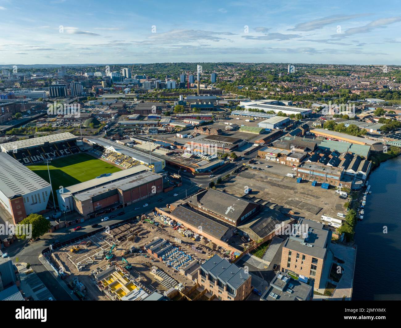 Nottingham Forrest The City Count und Meadow Lane Notts County aus der Luft, Luftaufnahme von einer Drohne River Trent Nottingham Stockfotohttps://www.alamy.de/image-license-details/?v=1https://www.alamy.de/nottingham-forrest-the-city-count-und-meadow-lane-notts-county-aus-der-luft-luftaufnahme-von-einer-drohne-river-trent-nottingham-image477586730.html
RM2JMYXMX–Nottingham Forrest The City Count und Meadow Lane Notts County aus der Luft, Luftaufnahme von einer Drohne River Trent Nottingham
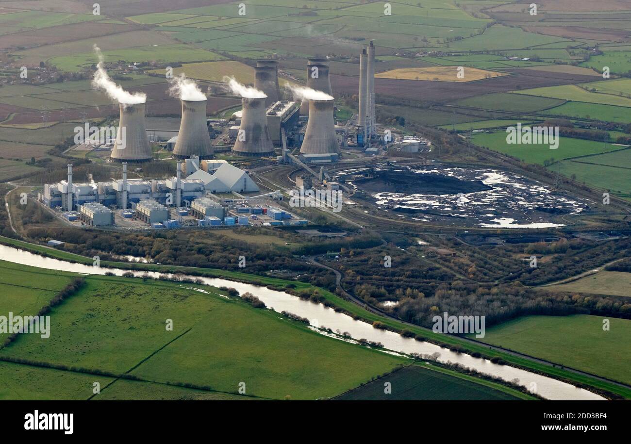 Ein Luftbild des West Burton Kraftwerks, River Trent, Gainsborough, Nordengland, Großbritannien Stockfotohttps://www.alamy.de/image-license-details/?v=1https://www.alamy.de/ein-luftbild-des-west-burton-kraftwerks-river-trent-gainsborough-nordengland-grossbritannien-image386693528.html
RM2DD3BF4–Ein Luftbild des West Burton Kraftwerks, River Trent, Gainsborough, Nordengland, Großbritannien
 Luftaufnahme von Ost und West Stockwith Dörfer, auf beiden Seiten des Flusses Trent, wo Sie auf den Fluss im Leerlauf, Nottinghamshire Stockfotohttps://www.alamy.de/image-license-details/?v=1https://www.alamy.de/luftaufnahme-von-ost-und-west-stockwith-dorfer-auf-beiden-seiten-des-flusses-trent-wo-sie-auf-den-fluss-im-leerlauf-nottinghamshire-image238212302.html
RMRRFE66–Luftaufnahme von Ost und West Stockwith Dörfer, auf beiden Seiten des Flusses Trent, wo Sie auf den Fluss im Leerlauf, Nottinghamshire
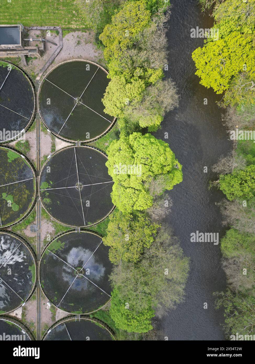 Luftaufnahme der Abwasseraufbereitungsstelle Severn Trent neben dem River Derwent in der Nähe von Cromford Derbyshire Foto Mai 2024 Stockfotohttps://www.alamy.de/image-license-details/?v=1https://www.alamy.de/luftaufnahme-der-abwasseraufbereitungsstelle-severn-trent-neben-dem-river-derwent-in-der-nahe-von-cromford-derbyshire-foto-mai-2024-image605542865.html
RM2X54T2W–Luftaufnahme der Abwasseraufbereitungsstelle Severn Trent neben dem River Derwent in der Nähe von Cromford Derbyshire Foto Mai 2024
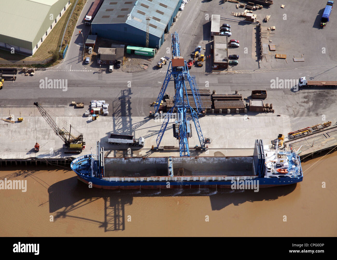 Luftaufnahme eines Schiffes in Flixborough Docks, Lincolnshire, bereit, mit Stahl geladen werden Stockfotohttps://www.alamy.de/image-license-details/?v=1https://www.alamy.de/stockfoto-luftaufnahme-eines-schiffes-in-flixborough-docks-lincolnshire-bereit-mit-stahl-geladen-werden-48294786.html
RMCPG0DP–Luftaufnahme eines Schiffes in Flixborough Docks, Lincolnshire, bereit, mit Stahl geladen werden
 King Power Stadium, Heimstadion des Leicester City Football Club. Luftbild. September 2024. Stockfotohttps://www.alamy.de/image-license-details/?v=1https://www.alamy.de/king-power-stadium-heimstadion-des-leicester-city-football-club-luftbild-september-2024-image626649548.html
RF2YBE9W0–King Power Stadium, Heimstadion des Leicester City Football Club. Luftbild. September 2024.
 Luftaufnahme des RSPB Blacktoft Sands Naturreservats bei Trent Falls, wo der Fluss Ouse auf das Trent trifft, um die Humber-Mündung in East Yorkshire zu bilden Stockfotohttps://www.alamy.de/image-license-details/?v=1https://www.alamy.de/luftaufnahme-des-rspb-blacktoft-sands-naturreservats-bei-trent-falls-wo-der-fluss-ouse-auf-das-trent-trifft-um-die-humber-mundung-in-east-yorkshire-zu-bilden-image384484312.html
RM2D9ENJG–Luftaufnahme des RSPB Blacktoft Sands Naturreservats bei Trent Falls, wo der Fluss Ouse auf das Trent trifft, um die Humber-Mündung in East Yorkshire zu bilden
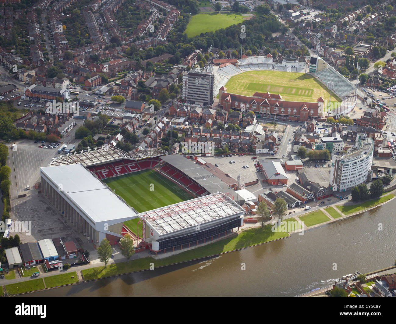 Notts Wald Fußballstadion und Trent Bridge Cricket Ground, Nottingham East Midlands, England, UK Stockfotohttps://www.alamy.de/image-license-details/?v=1https://www.alamy.de/stockfoto-notts-wald-fussballstadion-und-trent-bridge-cricket-ground-nottingham-east-midlands-england-uk-51135867.html
RMCY5C8Y–Notts Wald Fußballstadion und Trent Bridge Cricket Ground, Nottingham East Midlands, England, UK
 Luftaufnahme von Gainsborough Stadt, Lincolnshire Stockfotohttps://www.alamy.de/image-license-details/?v=1https://www.alamy.de/stockfoto-luftaufnahme-von-gainsborough-stadt-lincolnshire-53778590.html
RMD3DR3X–Luftaufnahme von Gainsborough Stadt, Lincolnshire
 Newark on Trent ist ein historisches Dorf in Nottinghamshire, Großbritannien. Stockfotohttps://www.alamy.de/image-license-details/?v=1https://www.alamy.de/newark-on-trent-ist-ein-historisches-dorf-in-nottinghamshire-grossbritannien-image589700396.html
RF2W7B4TC–Newark on Trent ist ein historisches Dorf in Nottinghamshire, Großbritannien.
 Luftaufnahme von Gainsborough Stadtzentrum, Lincolnshire Stockfotohttps://www.alamy.de/image-license-details/?v=1https://www.alamy.de/luftaufnahme-von-gainsborough-stadtzentrum-lincolnshire-image238209418.html
RMRRFAF6–Luftaufnahme von Gainsborough Stadtzentrum, Lincolnshire
 Luftaufnahme des Bristol. Stockfotohttps://www.alamy.de/image-license-details/?v=1https://www.alamy.de/luftaufnahme-des-bristol-image589694631.html
RF2W7AWEF–Luftaufnahme des Bristol.
 Die Sonne geht über die Stadt, während die Straßenbeleuchtung eines der Mittelklassebereiche der Stadt, das Gesundheitszentrum Longton, NHS, beleuchtet Stockfotohttps://www.alamy.de/image-license-details/?v=1https://www.alamy.de/die-sonne-geht-uber-die-stadt-wahrend-die-strassenbeleuchtung-eines-der-mittelklassebereiche-der-stadt-das-gesundheitszentrum-longton-nhs-beleuchtet-image338413941.html
RF2AJG2C5–Die Sonne geht über die Stadt, während die Straßenbeleuchtung eines der Mittelklassebereiche der Stadt, das Gesundheitszentrum Longton, NHS, beleuchtet
 Newark Castle, der Ort, an dem König Johannes 1216 starb. Stockfotohttps://www.alamy.de/image-license-details/?v=1https://www.alamy.de/newark-castle-der-ort-an-dem-konig-johannes-1216-starb-image589699928.html
RF2W7B47M–Newark Castle, der Ort, an dem König Johannes 1216 starb.
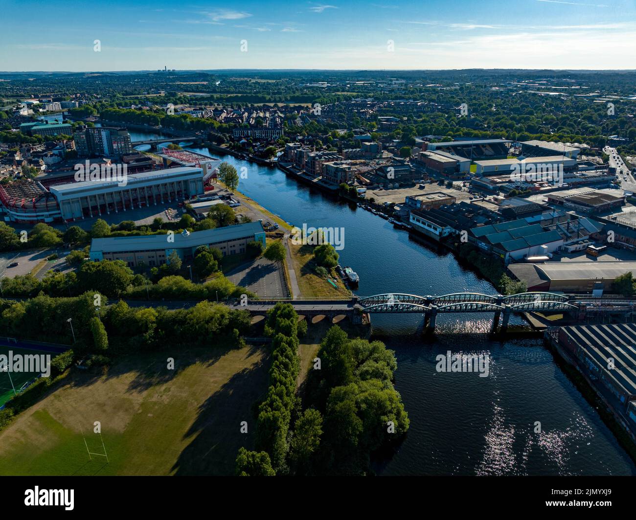 Nottingham Forrest The City Count und Meadow Lane Notts County aus der Luft, Luftaufnahme von einer Drohne River Trent Nottingham Stockfotohttps://www.alamy.de/image-license-details/?v=1https://www.alamy.de/nottingham-forrest-the-city-count-und-meadow-lane-notts-county-aus-der-luft-luftaufnahme-von-einer-drohne-river-trent-nottingham-image477586657.html
RM2JMYXJ9–Nottingham Forrest The City Count und Meadow Lane Notts County aus der Luft, Luftaufnahme von einer Drohne River Trent Nottingham
 King Power Stadium, Heimstadion des Leicester City Football Club. Luftbild. September 2024. Stockfotohttps://www.alamy.de/image-license-details/?v=1https://www.alamy.de/king-power-stadium-heimstadion-des-leicester-city-football-club-luftbild-september-2024-image626649236.html
RF2YBE9DT–King Power Stadium, Heimstadion des Leicester City Football Club. Luftbild. September 2024.
 Nottingham, Vereinigtes Königreich. 09.21.2023 Nottingham Forest Football Club, The City Ground. Luftbild. September 2023. Stockfotohttps://www.alamy.de/image-license-details/?v=1https://www.alamy.de/nottingham-vereinigtes-konigreich-09212023-nottingham-forest-football-club-the-city-ground-luftbild-september-2023-image567623056.html
RF2RYDD00–Nottingham, Vereinigtes Königreich. 09.21.2023 Nottingham Forest Football Club, The City Ground. Luftbild. September 2023.
 Luftaufnahme von Gainsborough Stadtzentrum, Lincolnshire Stockfotohttps://www.alamy.de/image-license-details/?v=1https://www.alamy.de/luftaufnahme-von-gainsborough-stadtzentrum-lincolnshire-image238172009.html
RMRRDJR5–Luftaufnahme von Gainsborough Stadtzentrum, Lincolnshire
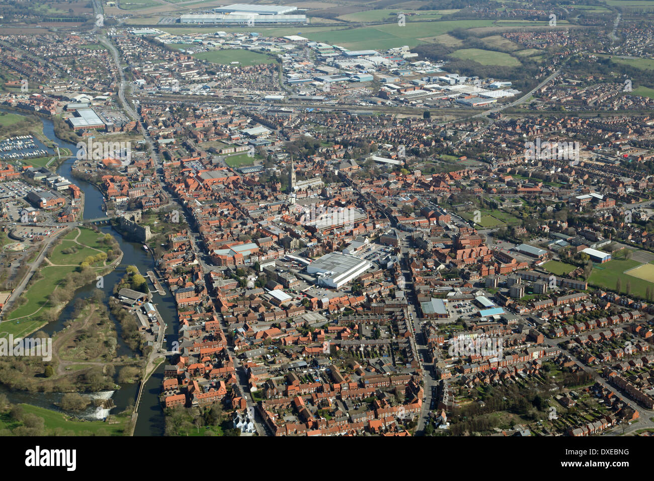 Luftaufnahme der Stadt Newark, England. Vollständiger Name: Newark-auf-Trent, Großbritannien Stockfotohttps://www.alamy.de/image-license-details/?v=1https://www.alamy.de/luftaufnahme-der-stadt-newark-england-vollstandiger-name-newark-auf-trent-grossbritannien-image67928716.html
RMDXEBNG–Luftaufnahme der Stadt Newark, England. Vollständiger Name: Newark-auf-Trent, Großbritannien
 Newark, Stadt im Vereinigten Königreich. Stockfotohttps://www.alamy.de/image-license-details/?v=1https://www.alamy.de/newark-stadt-im-vereinigten-konigreich-image594774258.html
RF2WFJ8HP–Newark, Stadt im Vereinigten Königreich.
 Luftaufnahme der industriellen Einheiten & Fabriken in Stoke-on-Trent, Staffordshire, Großbritannien Stockfotohttps://www.alamy.de/image-license-details/?v=1https://www.alamy.de/stockfoto-luftaufnahme-der-industriellen-einheiten-fabriken-in-stoke-on-trent-staffordshire-grossbritannien-175783386.html
RMM5YHE2–Luftaufnahme der industriellen Einheiten & Fabriken in Stoke-on-Trent, Staffordshire, Großbritannien
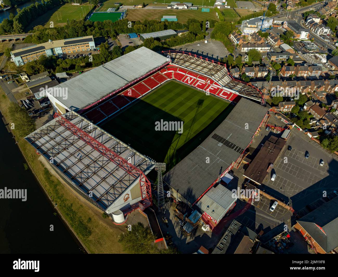 Nottingham Forrest The City Count und Meadow Lane Notts County aus der Luft, Luftaufnahme von einer Drohne River Trent Nottingham Stockfotohttps://www.alamy.de/image-license-details/?v=1https://www.alamy.de/nottingham-forrest-the-city-count-und-meadow-lane-notts-county-aus-der-luft-luftaufnahme-von-einer-drohne-river-trent-nottingham-image477586572.html
RM2JMYXF8–Nottingham Forrest The City Count und Meadow Lane Notts County aus der Luft, Luftaufnahme von einer Drohne River Trent Nottingham
 Nottingham, Vereinigtes Königreich. 09.21.2023 Nottingham Forest Football Club, The City Ground. Luftbild. September 2023. Stockfotohttps://www.alamy.de/image-license-details/?v=1https://www.alamy.de/nottingham-vereinigtes-konigreich-09212023-nottingham-forest-football-club-the-city-ground-luftbild-september-2023-image567622876.html
RF2RYDCNG–Nottingham, Vereinigtes Königreich. 09.21.2023 Nottingham Forest Football Club, The City Ground. Luftbild. September 2023.
 Luftaufnahme der industriellen Einheiten & Fabriken in Stoke-on-Trent, Staffordshire, Großbritannien Stockfotohttps://www.alamy.de/image-license-details/?v=1https://www.alamy.de/stockfoto-luftaufnahme-der-industriellen-einheiten-fabriken-in-stoke-on-trent-staffordshire-grossbritannien-175783392.html
RMM5YHE8–Luftaufnahme der industriellen Einheiten & Fabriken in Stoke-on-Trent, Staffordshire, Großbritannien
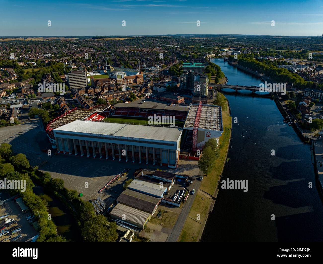 Nottingham Forrest The City Count und Meadow Lane Notts County aus der Luft, Luftaufnahme von einer Drohne River Trent Nottingham Stockfotohttps://www.alamy.de/image-license-details/?v=1https://www.alamy.de/nottingham-forrest-the-city-count-und-meadow-lane-notts-county-aus-der-luft-luftaufnahme-von-einer-drohne-river-trent-nottingham-image477586665.html
RM2JMYXJH–Nottingham Forrest The City Count und Meadow Lane Notts County aus der Luft, Luftaufnahme von einer Drohne River Trent Nottingham
 Nottingham, Vereinigtes Königreich. 09.21.2023 Nottingham Forest Football Club, The City Ground. Luftbild. September 2023. Stockfotohttps://www.alamy.de/image-license-details/?v=1https://www.alamy.de/nottingham-vereinigtes-konigreich-09212023-nottingham-forest-football-club-the-city-ground-luftbild-september-2023-image567622995.html
RF2RYDCWR–Nottingham, Vereinigtes Königreich. 09.21.2023 Nottingham Forest Football Club, The City Ground. Luftbild. September 2023.
 Luftaufnahme der industriellen Einheiten & Fabriken in Stoke-on-Trent, Staffordshire, Großbritannien Stockfotohttps://www.alamy.de/image-license-details/?v=1https://www.alamy.de/stockfoto-luftaufnahme-der-industriellen-einheiten-fabriken-in-stoke-on-trent-staffordshire-grossbritannien-175783405.html
RMM5YHEN–Luftaufnahme der industriellen Einheiten & Fabriken in Stoke-on-Trent, Staffordshire, Großbritannien
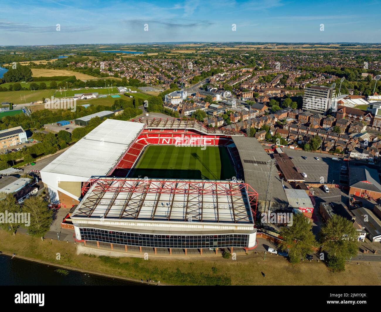 Nottingham Forrest The City Count und Meadow Lane Notts County aus der Luft, Luftaufnahme von einer Drohne River Trent Nottingham Stockfotohttps://www.alamy.de/image-license-details/?v=1https://www.alamy.de/nottingham-forrest-the-city-count-und-meadow-lane-notts-county-aus-der-luft-luftaufnahme-von-einer-drohne-river-trent-nottingham-image477586667.html
RM2JMYXJK–Nottingham Forrest The City Count und Meadow Lane Notts County aus der Luft, Luftaufnahme von einer Drohne River Trent Nottingham
 Nottingham, Vereinigtes Königreich. 09.21.2023 Nottingham Forest Football Club, The City Ground. Luftbild. September 2023. Stockfotohttps://www.alamy.de/image-license-details/?v=1https://www.alamy.de/nottingham-vereinigtes-konigreich-09212023-nottingham-forest-football-club-the-city-ground-luftbild-september-2023-image567622998.html
RF2RYDCWX–Nottingham, Vereinigtes Königreich. 09.21.2023 Nottingham Forest Football Club, The City Ground. Luftbild. September 2023.
 Luftaufnahme der industriellen Einheiten & Fabriken in Stoke-on-Trent, Staffordshire, Großbritannien Stockfotohttps://www.alamy.de/image-license-details/?v=1https://www.alamy.de/stockfoto-luftaufnahme-der-industriellen-einheiten-fabriken-in-stoke-on-trent-staffordshire-grossbritannien-175783400.html
RMM5YHEG–Luftaufnahme der industriellen Einheiten & Fabriken in Stoke-on-Trent, Staffordshire, Großbritannien
 Luftaufnahme von flixborough Industrial Estate und seine Wharf auf dem Fluss Trent, in der Nähe von Scunthorpe, Lincolnshire Stockfotohttps://www.alamy.de/image-license-details/?v=1https://www.alamy.de/stockfoto-luftaufnahme-von-flixborough-industrial-estate-und-seine-wharf-auf-dem-fluss-trent-in-der-nahe-von-scunthorpe-lincolnshire-48294754.html
RMCPG0CJ–Luftaufnahme von flixborough Industrial Estate und seine Wharf auf dem Fluss Trent, in der Nähe von Scunthorpe, Lincolnshire
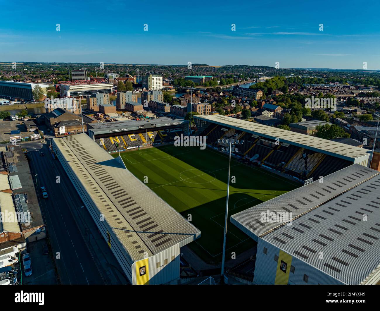 Nottingham Forrest The City Count und Meadow Lane Notts County aus der Luft, Luftaufnahme von einer Drohne River Trent Nottingham Stockfotohttps://www.alamy.de/image-license-details/?v=1https://www.alamy.de/nottingham-forrest-the-city-count-und-meadow-lane-notts-county-aus-der-luft-luftaufnahme-von-einer-drohne-river-trent-nottingham-image477586741.html
RM2JMYXN9–Nottingham Forrest The City Count und Meadow Lane Notts County aus der Luft, Luftaufnahme von einer Drohne River Trent Nottingham
 Luftaufnahme von flixborough Industrial Estate und seine Wharf auf dem Fluss Trent, in der Nähe von Scunthorpe, Lincolnshire Stockfotohttps://www.alamy.de/image-license-details/?v=1https://www.alamy.de/stockfoto-luftaufnahme-von-flixborough-industrial-estate-und-seine-wharf-auf-dem-fluss-trent-in-der-nahe-von-scunthorpe-lincolnshire-48294722.html
RMCPG0BE–Luftaufnahme von flixborough Industrial Estate und seine Wharf auf dem Fluss Trent, in der Nähe von Scunthorpe, Lincolnshire
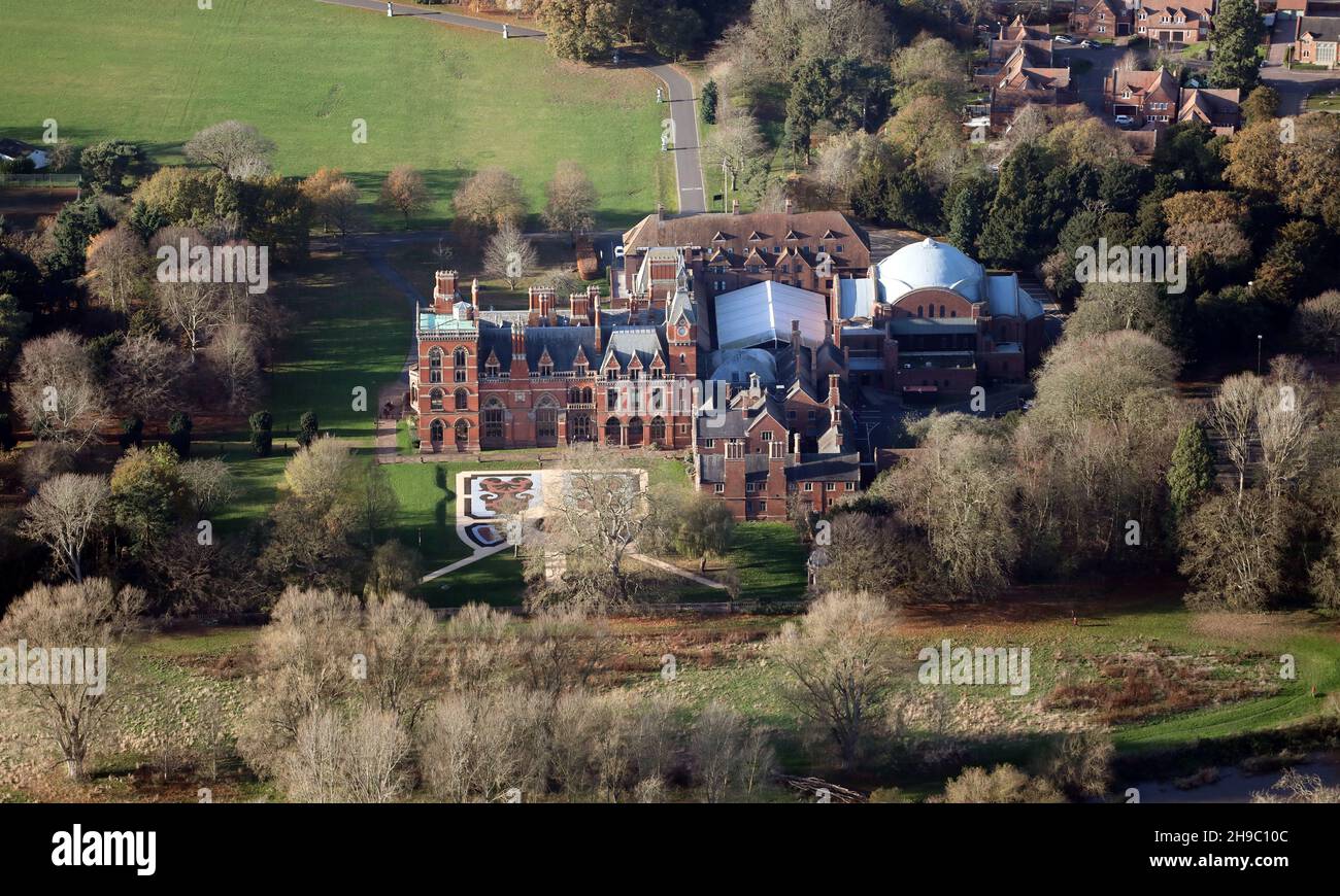 Luftaufnahme des Kelham Country House Hotels in der Nähe von Newark, Nottinghamshire Stockfotohttps://www.alamy.de/image-license-details/?v=1https://www.alamy.de/luftaufnahme-des-kelham-country-house-hotels-in-der-nahe-von-newark-nottinghamshire-image453265692.html
RM2H9C10C–Luftaufnahme des Kelham Country House Hotels in der Nähe von Newark, Nottinghamshire
 Nottingham, Vereinigtes Königreich. 09.21.2023 Nottingham Forest Football Club, The City Ground. Luftbild. September 2023. Stockfotohttps://www.alamy.de/image-license-details/?v=1https://www.alamy.de/nottingham-vereinigtes-konigreich-09212023-nottingham-forest-football-club-the-city-ground-luftbild-september-2023-image567622873.html
RF2RYDCND–Nottingham, Vereinigtes Königreich. 09.21.2023 Nottingham Forest Football Club, The City Ground. Luftbild. September 2023.
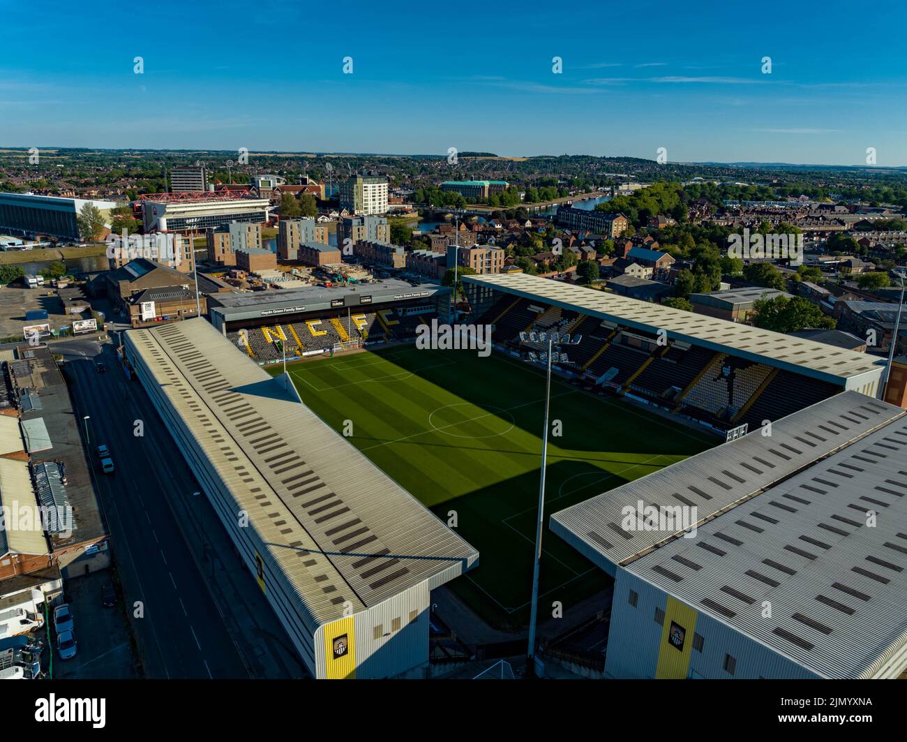 Nottingham Forrest The City Count und Meadow Lane Notts County aus der Luft, Luftaufnahme von einer Drohne River Trent Nottingham Stockfotohttps://www.alamy.de/image-license-details/?v=1https://www.alamy.de/nottingham-forrest-the-city-count-und-meadow-lane-notts-county-aus-der-luft-luftaufnahme-von-einer-drohne-river-trent-nottingham-image477586742.html
RM2JMYXNA–Nottingham Forrest The City Count und Meadow Lane Notts County aus der Luft, Luftaufnahme von einer Drohne River Trent Nottingham
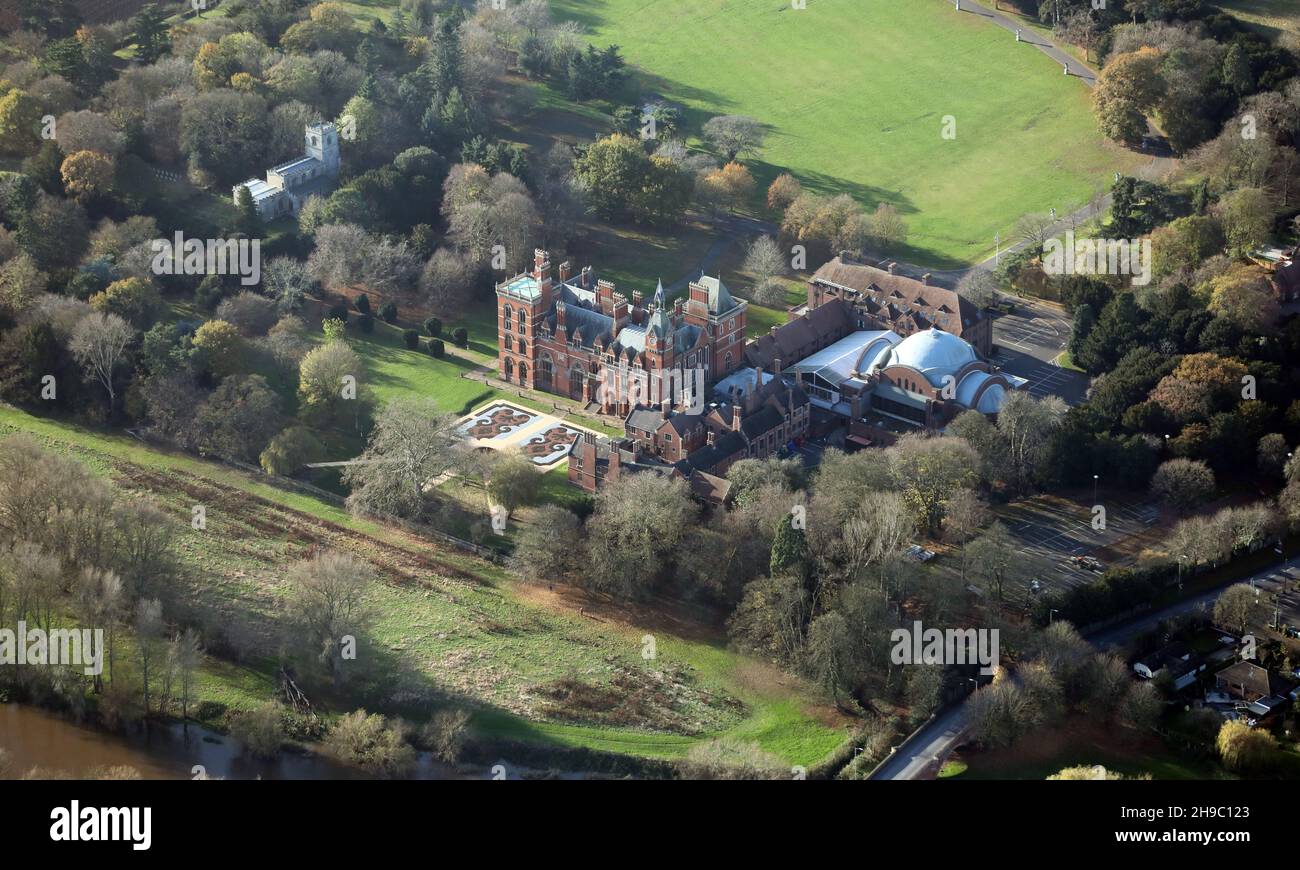 Luftaufnahme des Kelham Country House Hotels in der Nähe von Newark, Nottinghamshire Stockfotohttps://www.alamy.de/image-license-details/?v=1https://www.alamy.de/luftaufnahme-des-kelham-country-house-hotels-in-der-nahe-von-newark-nottinghamshire-image453265739.html
RM2H9C123–Luftaufnahme des Kelham Country House Hotels in der Nähe von Newark, Nottinghamshire
 Luftaufnahme des Keadby-Kraftwerks (ein Gas-Kraftwerk) Nahe Scunthorpe Stockfotohttps://www.alamy.de/image-license-details/?v=1https://www.alamy.de/luftaufnahme-des-keadby-kraftwerks-ein-gas-kraftwerk-nahe-scunthorpe-image411231591.html
RM2EW162F–Luftaufnahme des Keadby-Kraftwerks (ein Gas-Kraftwerk) Nahe Scunthorpe
 Luftaufnahme von Flixborough, North Lincolnshire Stockfotohttps://www.alamy.de/image-license-details/?v=1https://www.alamy.de/stockfoto-luftaufnahme-von-flixborough-north-lincolnshire-43201250.html
RMCE7YHP–Luftaufnahme von Flixborough, North Lincolnshire
 Luftaufnahme von Kingsferry Wharf in Burton Stather, Lincoln Stockfotohttps://www.alamy.de/image-license-details/?v=1https://www.alamy.de/stockfoto-luftaufnahme-von-kingsferry-wharf-in-burton-stather-lincoln-43201237.html
RMCE7YH9–Luftaufnahme von Kingsferry Wharf in Burton Stather, Lincoln
 Luftaufnahme von Gainsborough, Lincolnshire Stockfotohttps://www.alamy.de/image-license-details/?v=1https://www.alamy.de/stockfoto-luftaufnahme-von-gainsborough-lincolnshire-47908308.html
RMCNXBF0–Luftaufnahme von Gainsborough, Lincolnshire
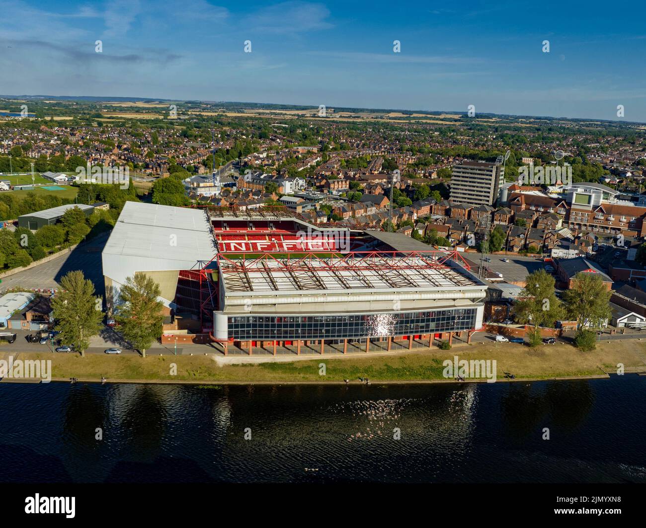 Nottingham Forrest The City Count und Meadow Lane Notts County aus der Luft, Luftaufnahme von einer Drohne River Trent Nottingham Stockfotohttps://www.alamy.de/image-license-details/?v=1https://www.alamy.de/nottingham-forrest-the-city-count-und-meadow-lane-notts-county-aus-der-luft-luftaufnahme-von-einer-drohne-river-trent-nottingham-image477586740.html
RM2JMYXN8–Nottingham Forrest The City Count und Meadow Lane Notts County aus der Luft, Luftaufnahme von einer Drohne River Trent Nottingham
 Luftaufnahme von Gainsborough, Lincolnshire Stockfotohttps://www.alamy.de/image-license-details/?v=1https://www.alamy.de/stockfoto-luftaufnahme-von-gainsborough-lincolnshire-47908328.html
RMCNXBFM–Luftaufnahme von Gainsborough, Lincolnshire
 Luftaufnahme des Kelham Hall & Country Park, in der Nähe von Southwell Nottinghamshire, UK Stockfotohttps://www.alamy.de/image-license-details/?v=1https://www.alamy.de/stockfoto-luftaufnahme-des-kelham-hall-country-park-in-der-nahe-von-southwell-nottinghamshire-uk-123554716.html
RMH50B8C–Luftaufnahme des Kelham Hall & Country Park, in der Nähe von Southwell Nottinghamshire, UK
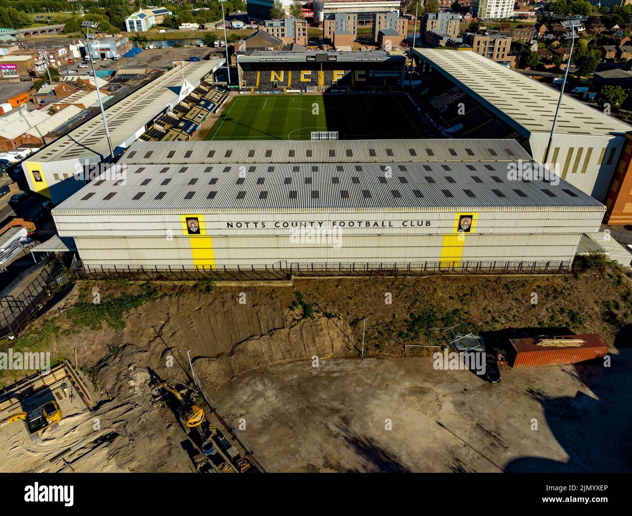 Nottingham Forrest The City Count und Meadow Lane Notts County aus der Luft, Luftaufnahme von einer Drohne River Trent Nottingham Stockfotohttps://www.alamy.de/image-license-details/?v=1https://www.alamy.de/nottingham-forrest-the-city-count-und-meadow-lane-notts-county-aus-der-luft-luftaufnahme-von-einer-drohne-river-trent-nottingham-image477586558.html
RM2JMYXEP–Nottingham Forrest The City Count und Meadow Lane Notts County aus der Luft, Luftaufnahme von einer Drohne River Trent Nottingham
 Luftaufnahme des Kelham Hall & Country Park, in der Nähe von Southwell Nottinghamshire, UK Stockfotohttps://www.alamy.de/image-license-details/?v=1https://www.alamy.de/stockfoto-luftaufnahme-des-kelham-hall-country-park-in-der-nahe-von-southwell-nottinghamshire-uk-123554695.html
RMH50B7K–Luftaufnahme des Kelham Hall & Country Park, in der Nähe von Southwell Nottinghamshire, UK
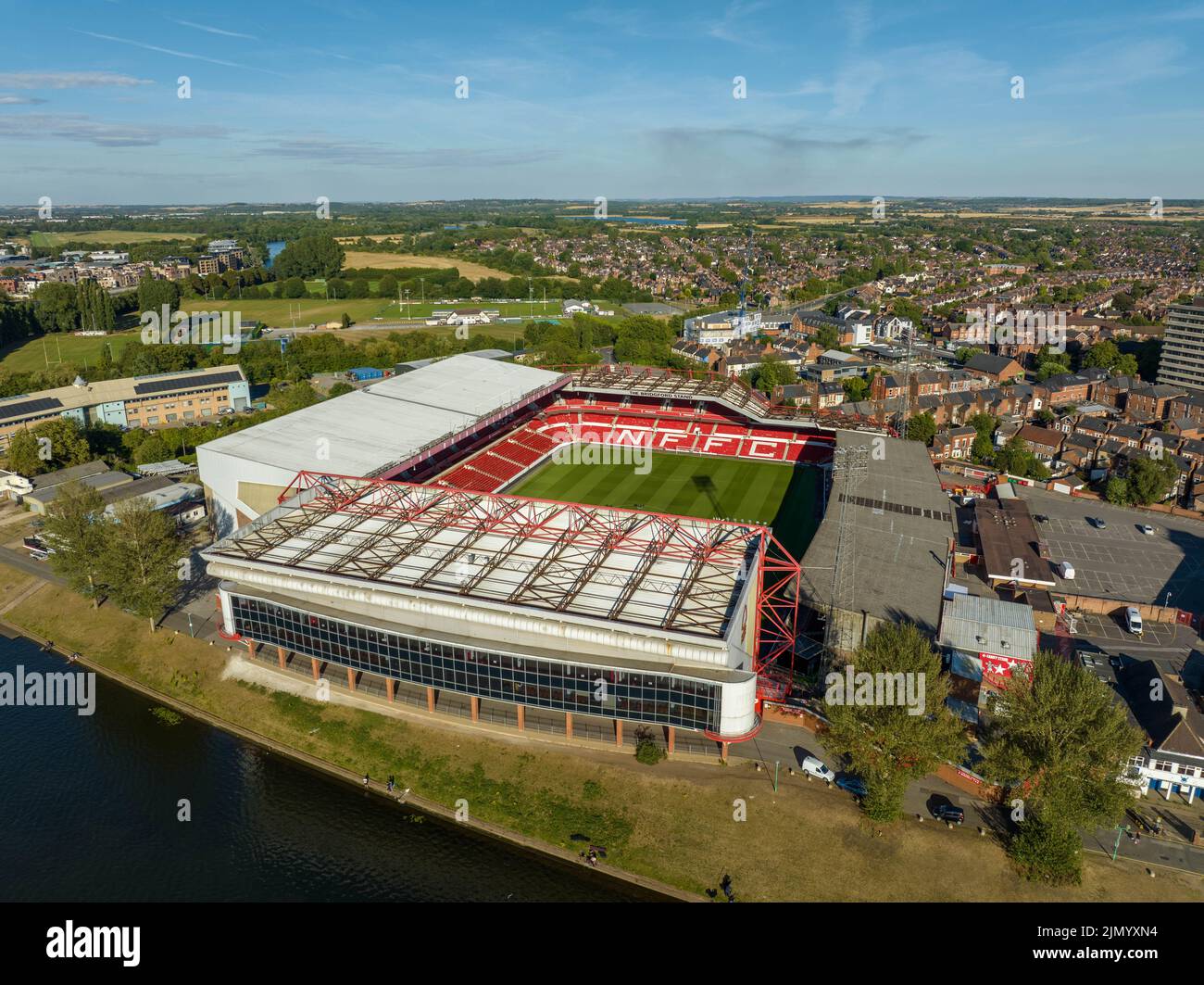 Nottingham Forrest The City Count und Meadow Lane Notts County aus der Luft, Luftaufnahme von einer Drohne River Trent Nottingham Stockfotohttps://www.alamy.de/image-license-details/?v=1https://www.alamy.de/nottingham-forrest-the-city-count-und-meadow-lane-notts-county-aus-der-luft-luftaufnahme-von-einer-drohne-river-trent-nottingham-image477586736.html
RM2JMYXN4–Nottingham Forrest The City Count und Meadow Lane Notts County aus der Luft, Luftaufnahme von einer Drohne River Trent Nottingham
 Luftaufnahme des Kelham Hall & Country Park, in der Nähe von Southwell Nottinghamshire, UK Stockfotohttps://www.alamy.de/image-license-details/?v=1https://www.alamy.de/stockfoto-luftaufnahme-des-kelham-hall-country-park-in-der-nahe-von-southwell-nottinghamshire-uk-123554705.html
RMH50B81–Luftaufnahme des Kelham Hall & Country Park, in der Nähe von Southwell Nottinghamshire, UK
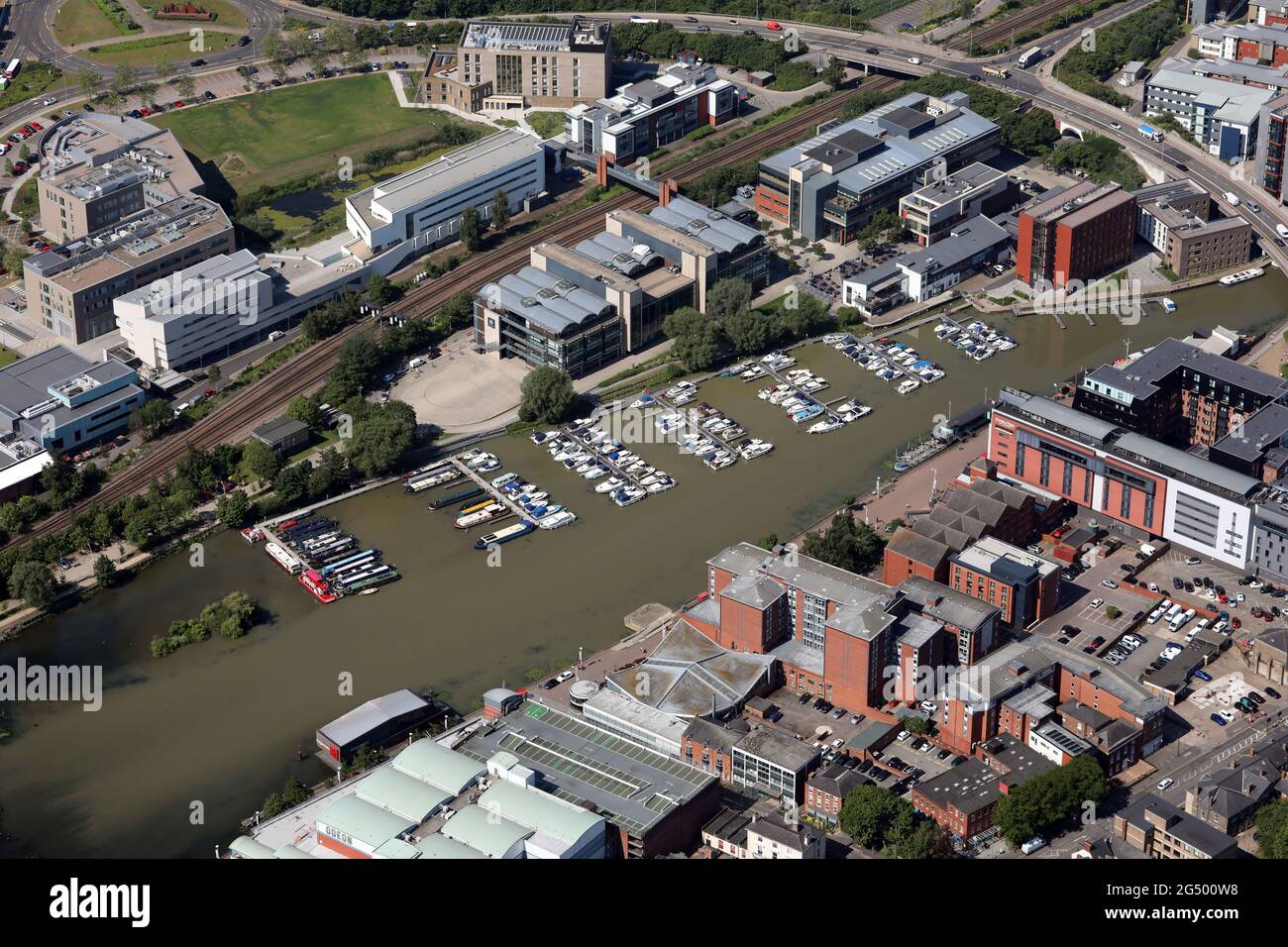 Luftaufnahme des Brayford Pools (ein natürlicher See, der von der Lincoln Marina genutzt wird) im Stadtzentrum von Lincoln Stockfotohttps://www.alamy.de/image-license-details/?v=1https://www.alamy.de/luftaufnahme-des-brayford-pools-ein-naturlicher-see-der-von-der-lincoln-marina-genutzt-wird-im-stadtzentrum-von-lincoln-image433333188.html
RM2G500W8–Luftaufnahme des Brayford Pools (ein natürlicher See, der von der Lincoln Marina genutzt wird) im Stadtzentrum von Lincoln
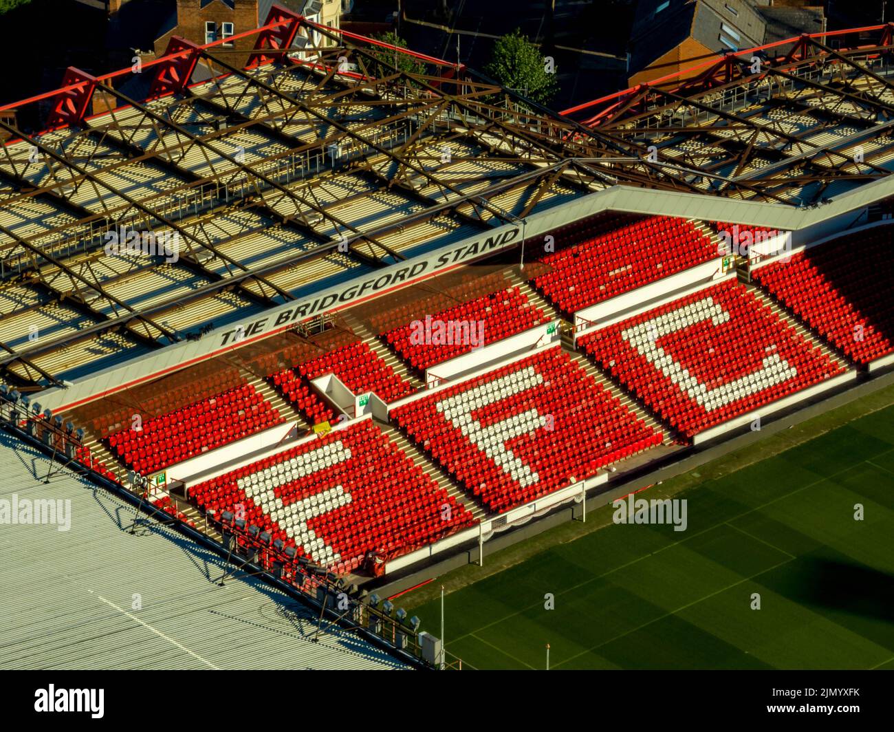 Nottingham Forrest The City Count und Meadow Lane Notts County aus der Luft, Luftaufnahme von einer Drohne River Trent Nottingham Stockfotohttps://www.alamy.de/image-license-details/?v=1https://www.alamy.de/nottingham-forrest-the-city-count-und-meadow-lane-notts-county-aus-der-luft-luftaufnahme-von-einer-drohne-river-trent-nottingham-image477586583.html
RM2JMYXFK–Nottingham Forrest The City Count und Meadow Lane Notts County aus der Luft, Luftaufnahme von einer Drohne River Trent Nottingham
 Luftaufnahme des Brayford Pools (ein natürlicher See, der von der Lincoln Marina genutzt wird) im Stadtzentrum von Lincoln Stockfotohttps://www.alamy.de/image-license-details/?v=1https://www.alamy.de/luftaufnahme-des-brayford-pools-ein-naturlicher-see-der-von-der-lincoln-marina-genutzt-wird-im-stadtzentrum-von-lincoln-image433333194.html
RM2G500WE–Luftaufnahme des Brayford Pools (ein natürlicher See, der von der Lincoln Marina genutzt wird) im Stadtzentrum von Lincoln
 Luftaufnahme von sawley Marina, in der Nähe von Nottingham, Großbritannien Stockfotohttps://www.alamy.de/image-license-details/?v=1https://www.alamy.de/stockfoto-luftaufnahme-von-sawley-marina-in-der-nahe-von-nottingham-grossbritannien-164561524.html
RMKFMBW8–Luftaufnahme von sawley Marina, in der Nähe von Nottingham, Großbritannien
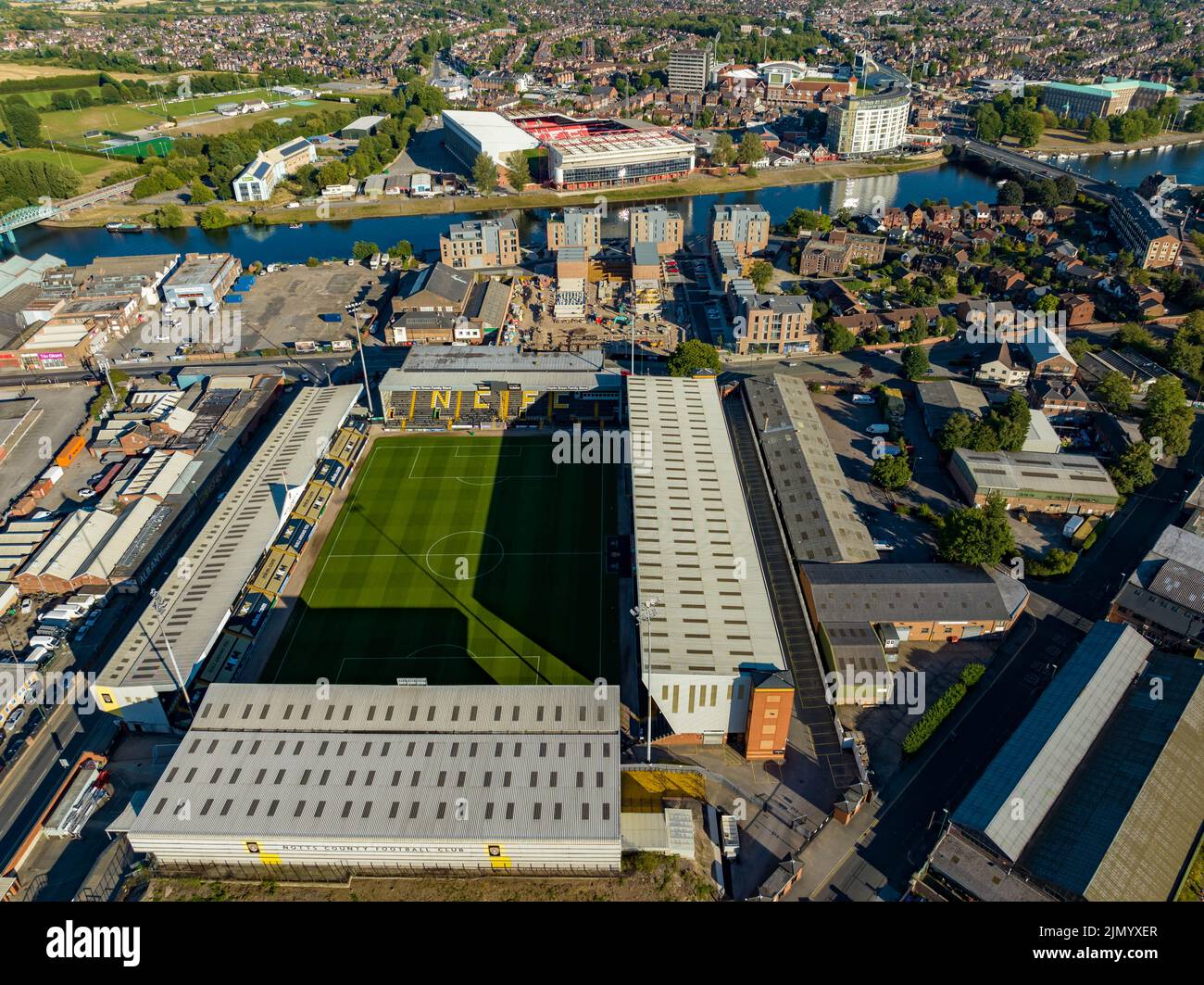 Nottingham Forrest The City Count und Meadow Lane Notts County aus der Luft, Luftaufnahme von einer Drohne River Trent Nottingham Stockfotohttps://www.alamy.de/image-license-details/?v=1https://www.alamy.de/nottingham-forrest-the-city-count-und-meadow-lane-notts-county-aus-der-luft-luftaufnahme-von-einer-drohne-river-trent-nottingham-image477586559.html
RM2JMYXER–Nottingham Forrest The City Count und Meadow Lane Notts County aus der Luft, Luftaufnahme von einer Drohne River Trent Nottingham
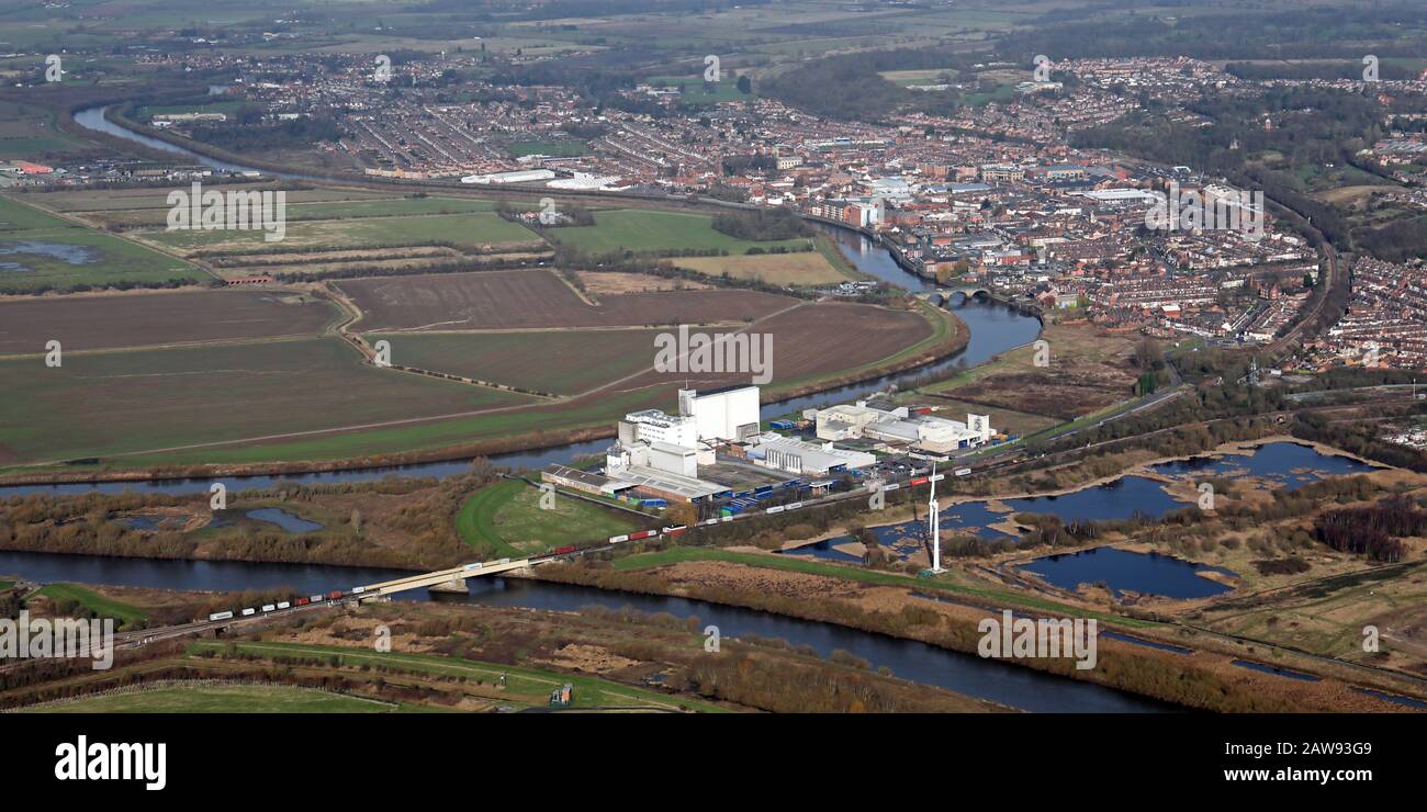 Luftaufnahme der Kerry Foods Fabrik mit der Skyline der Stadt Gainsborough im Hintergrund Stockfotohttps://www.alamy.de/image-license-details/?v=1https://www.alamy.de/luftaufnahme-der-kerry-foods-fabrik-mit-der-skyline-der-stadt-gainsborough-im-hintergrund-image342563769.html
RM2AW93G9–Luftaufnahme der Kerry Foods Fabrik mit der Skyline der Stadt Gainsborough im Hintergrund
 Luftbild des Dorfes Repton in der Nähe von Derby, mit Repton Hockey Club (blauer Platz im Vordergrund) und Repton School prominent Stockfotohttps://www.alamy.de/image-license-details/?v=1https://www.alamy.de/luftbild-des-dorfes-repton-in-der-nahe-von-derby-mit-repton-hockey-club-blauer-platz-im-vordergrund-und-repton-school-prominent-image348975815.html
RM2B7N65Y–Luftbild des Dorfes Repton in der Nähe von Derby, mit Repton Hockey Club (blauer Platz im Vordergrund) und Repton School prominent
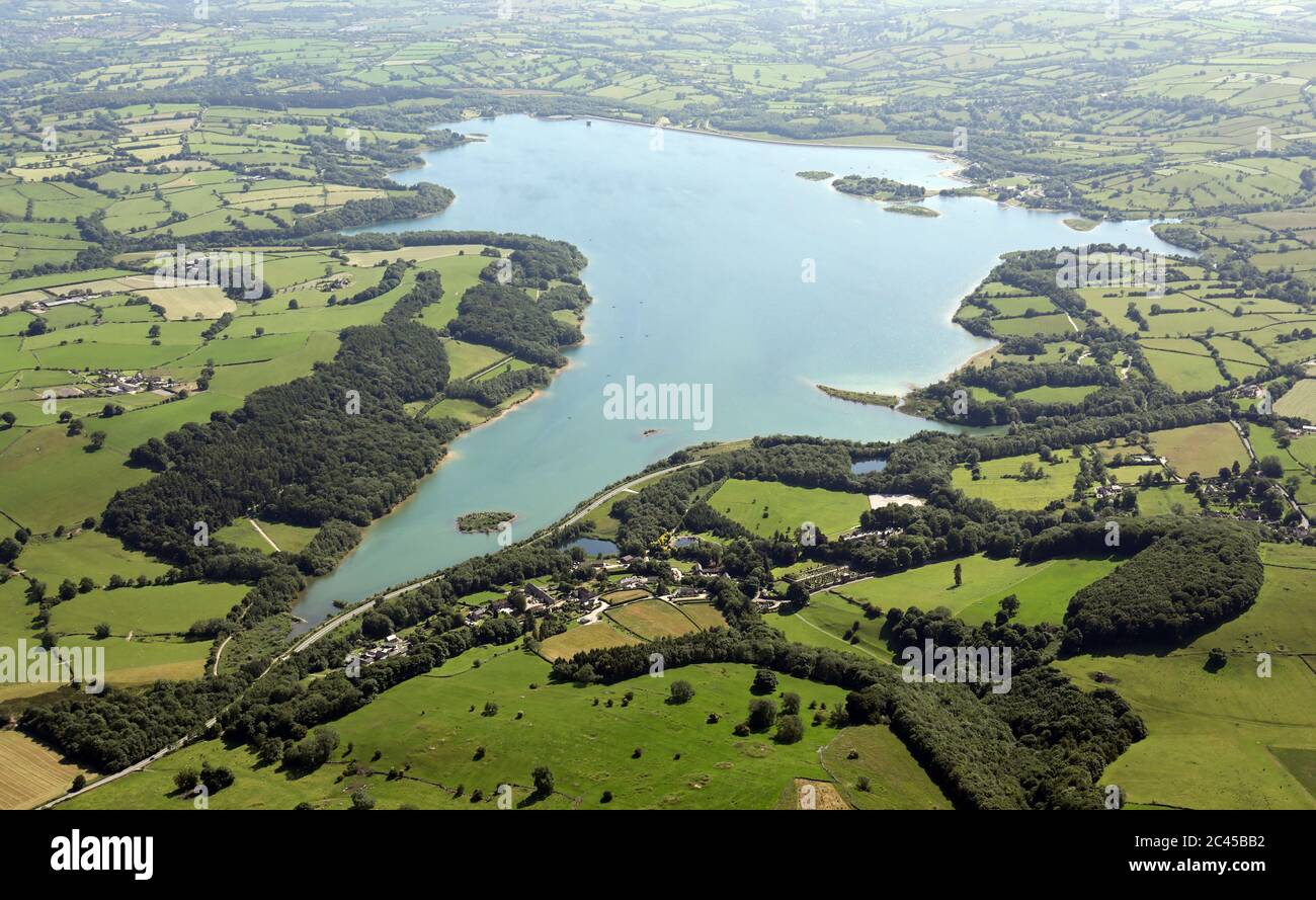 Luftaufnahme des Wasserreservoirs von Carsington Stockfotohttps://www.alamy.de/image-license-details/?v=1https://www.alamy.de/luftaufnahme-des-wasserreservoirs-von-carsington-image363995046.html
RM2C45BB2–Luftaufnahme des Wasserreservoirs von Carsington
 Luftaufnahme des West Burton-Kraftwerks In der Nähe von Retford, einem Kohlekraftwerk, das im September 2022 geschlossen werden soll Stockfotohttps://www.alamy.de/image-license-details/?v=1https://www.alamy.de/luftaufnahme-des-west-burton-kraftwerks-in-der-nahe-von-retford-einem-kohlekraftwerk-das-im-september-2022-geschlossen-werden-soll-image433333125.html
RM2G500R1–Luftaufnahme des West Burton-Kraftwerks In der Nähe von Retford, einem Kohlekraftwerk, das im September 2022 geschlossen werden soll
 Luftaufnahme des Trent Bridge Cricket Boden während einer 1-Tages-Länderspiel England und Westindien. Nottingham Forest gemahlen Stockfotohttps://www.alamy.de/image-license-details/?v=1https://www.alamy.de/stockfoto-luftaufnahme-des-trent-bridge-cricket-boden-wahrend-einer-1-tages-landerspiel-england-und-westindien-nottingham-forest-gemahlen-75555793.html
RMEAWT55–Luftaufnahme des Trent Bridge Cricket Boden während einer 1-Tages-Länderspiel England und Westindien. Nottingham Forest gemahlen
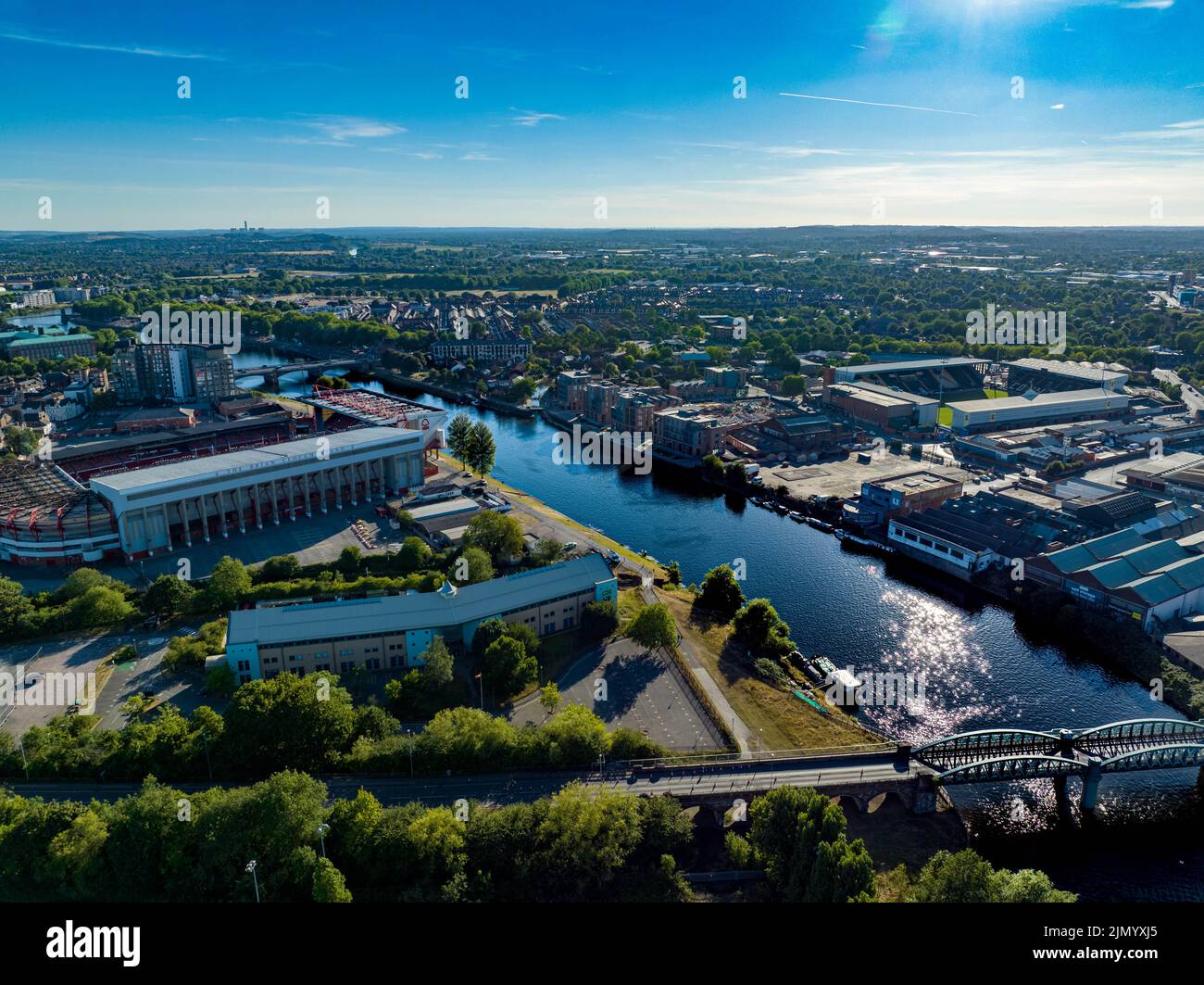 Nottingham Forrest The City Count und Meadow Lane Notts County aus der Luft, Luftaufnahme von einer Drohne River Trent Nottingham Stockfotohttps://www.alamy.de/image-license-details/?v=1https://www.alamy.de/nottingham-forrest-the-city-count-und-meadow-lane-notts-county-aus-der-luft-luftaufnahme-von-einer-drohne-river-trent-nottingham-image477586653.html
RM2JMYXJ5–Nottingham Forrest The City Count und Meadow Lane Notts County aus der Luft, Luftaufnahme von einer Drohne River Trent Nottingham
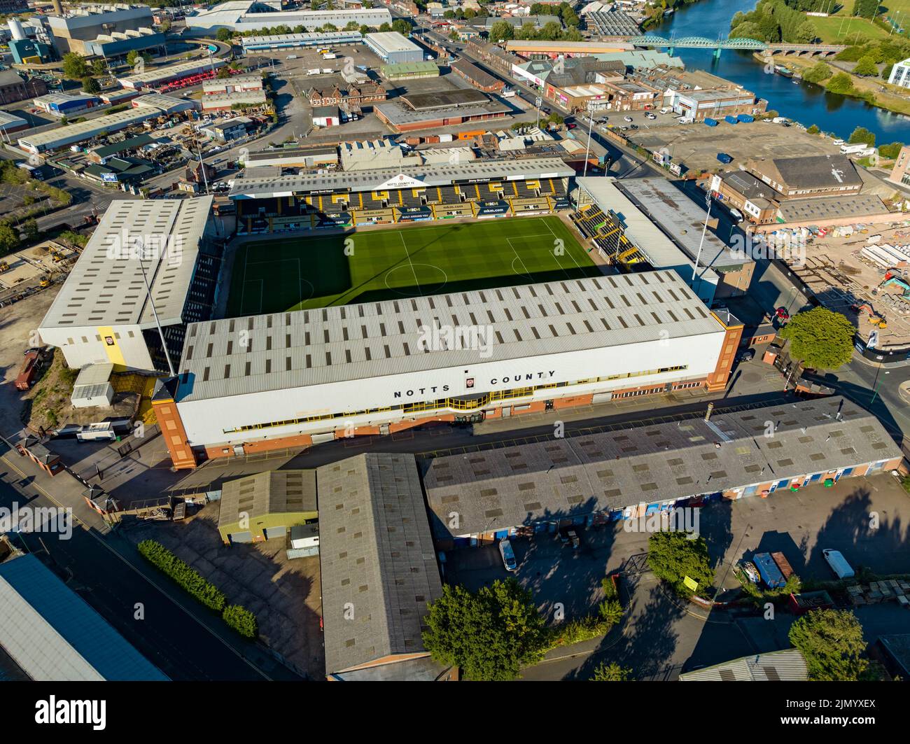 Nottingham Forrest The City Count und Meadow Lane Notts County aus der Luft, Luftaufnahme von einer Drohne River Trent Nottingham Stockfotohttps://www.alamy.de/image-license-details/?v=1https://www.alamy.de/nottingham-forrest-the-city-count-und-meadow-lane-notts-county-aus-der-luft-luftaufnahme-von-einer-drohne-river-trent-nottingham-image477586562.html
RM2JMYXEX–Nottingham Forrest The City Count und Meadow Lane Notts County aus der Luft, Luftaufnahme von einer Drohne River Trent Nottingham
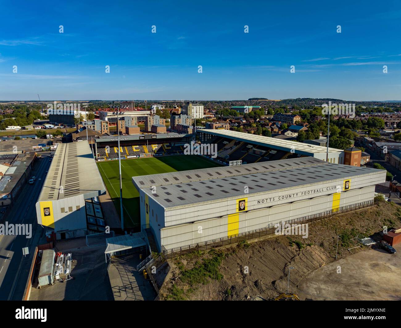 Nottingham Forrest The City Count und Meadow Lane Notts County aus der Luft, Luftaufnahme von einer Drohne River Trent Nottingham Stockfotohttps://www.alamy.de/image-license-details/?v=1https://www.alamy.de/nottingham-forrest-the-city-count-und-meadow-lane-notts-county-aus-der-luft-luftaufnahme-von-einer-drohne-river-trent-nottingham-image477586746.html
RM2JMYXNE–Nottingham Forrest The City Count und Meadow Lane Notts County aus der Luft, Luftaufnahme von einer Drohne River Trent Nottingham
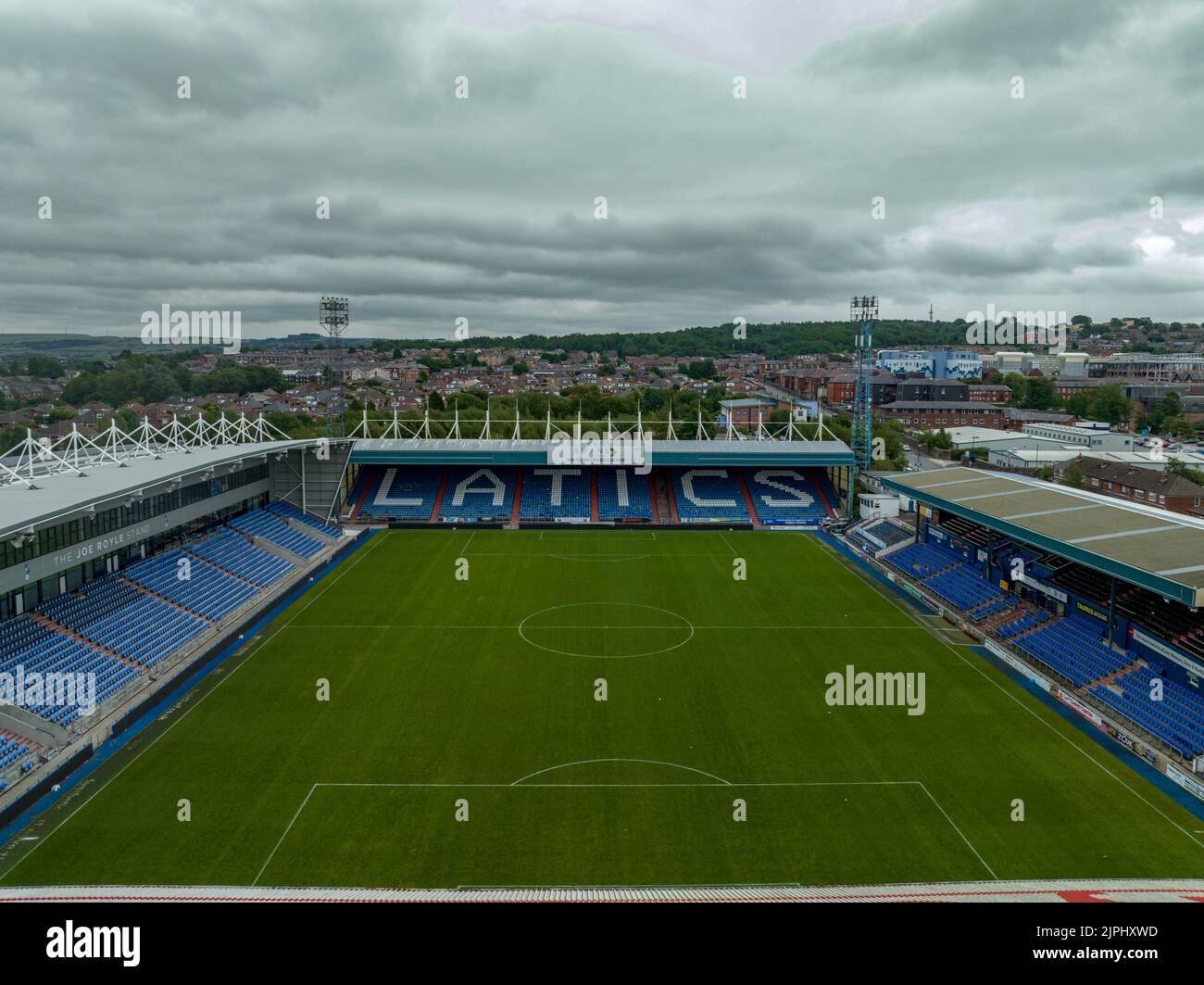 Boundary Park Luftdrohne aus der Luft, Oldham Athletic Football Club Stadium, Vogelperspektive Stockfotohttps://www.alamy.de/image-license-details/?v=1https://www.alamy.de/boundary-park-luftdrohne-aus-der-luft-oldham-athletic-football-club-stadium-vogelperspektive-image478596649.html
RM2JPHXWD–Boundary Park Luftdrohne aus der Luft, Oldham Athletic Football Club Stadium, Vogelperspektive
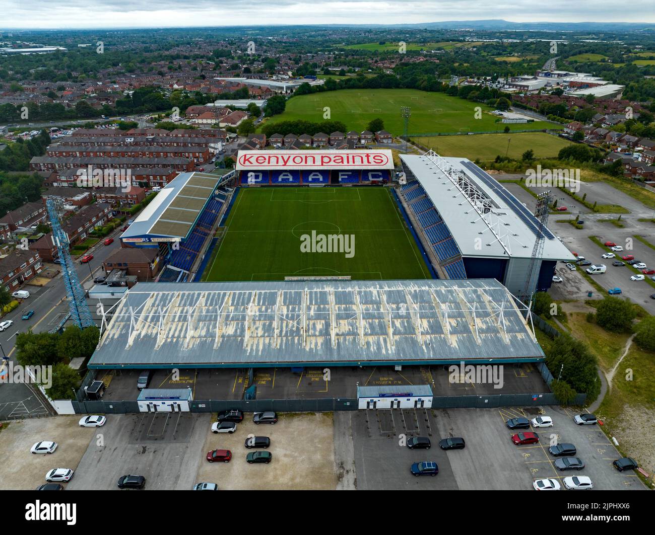 Boundary Park Luftdrohne aus der Luft, Oldham Athletic Football Club Stadium, Vogelperspektive Stockfotohttps://www.alamy.de/image-license-details/?v=1https://www.alamy.de/boundary-park-luftdrohne-aus-der-luft-oldham-athletic-football-club-stadium-vogelperspektive-image478596670.html
RM2JPHXX6–Boundary Park Luftdrohne aus der Luft, Oldham Athletic Football Club Stadium, Vogelperspektive
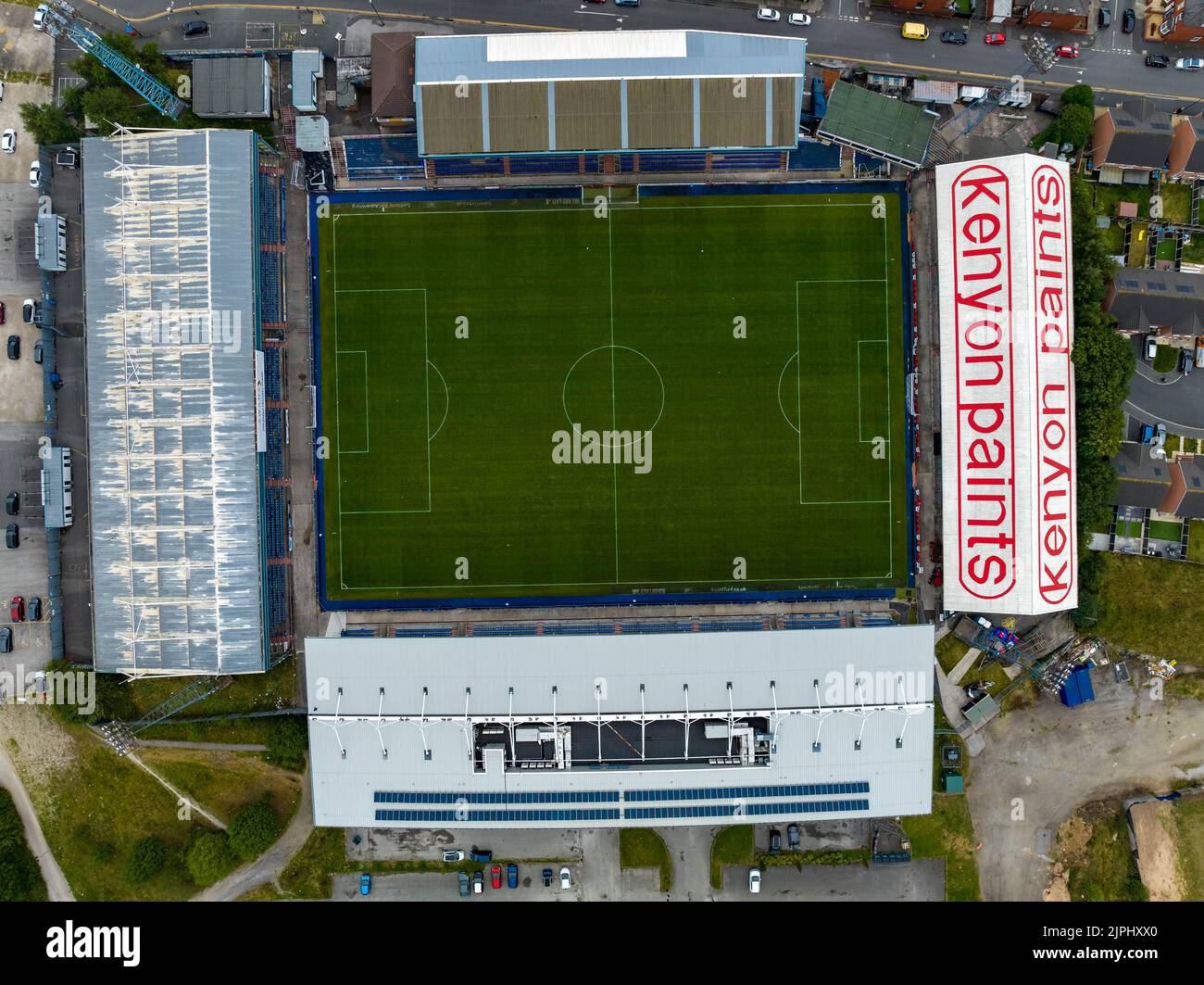 Boundary Park Luftdrohne aus der Luft, Oldham Athletic Football Club Stadium, Vogelperspektive Stockfotohttps://www.alamy.de/image-license-details/?v=1https://www.alamy.de/boundary-park-luftdrohne-aus-der-luft-oldham-athletic-football-club-stadium-vogelperspektive-image478596664.html
RM2JPHXX0–Boundary Park Luftdrohne aus der Luft, Oldham Athletic Football Club Stadium, Vogelperspektive
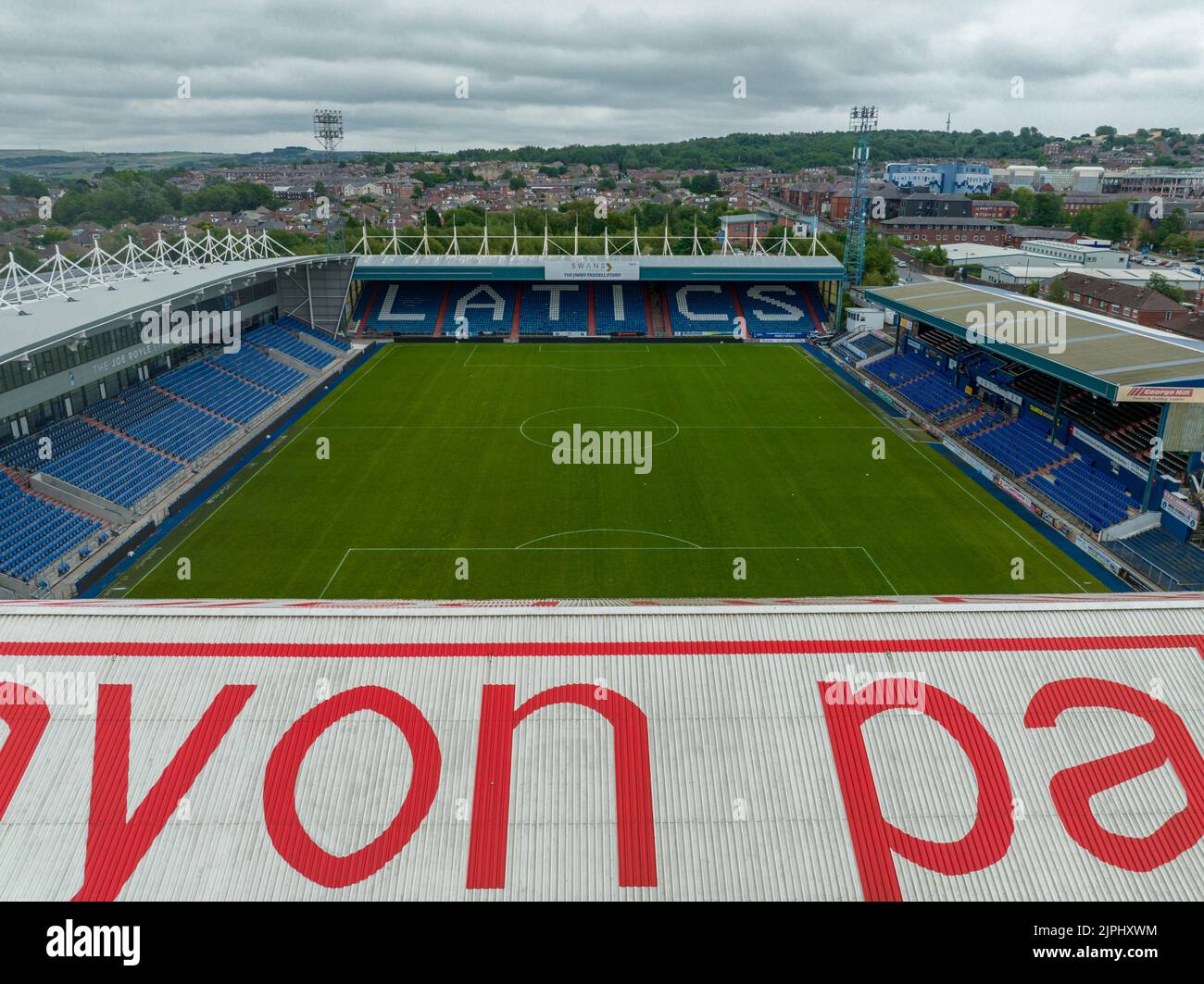 Boundary Park Luftdrohne aus der Luft, Oldham Athletic Football Club Stadium, Vogelperspektive Stockfotohttps://www.alamy.de/image-license-details/?v=1https://www.alamy.de/boundary-park-luftdrohne-aus-der-luft-oldham-athletic-football-club-stadium-vogelperspektive-image478596656.html
RM2JPHXWM–Boundary Park Luftdrohne aus der Luft, Oldham Athletic Football Club Stadium, Vogelperspektive
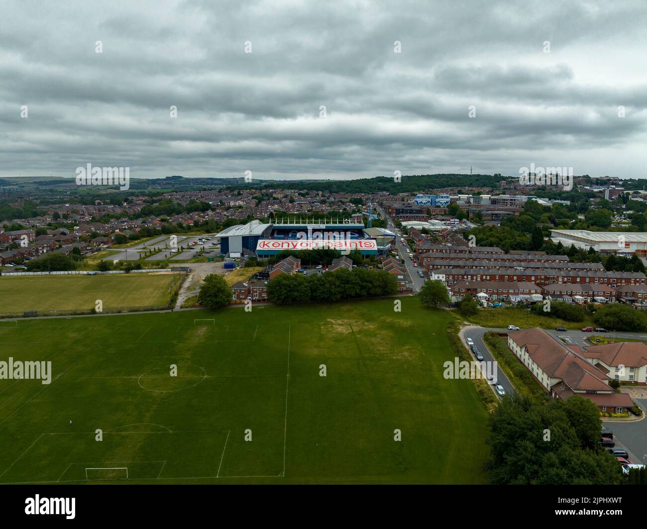 Boundary Park Luftdrohne aus der Luft, Oldham Athletic Football Club Stadium, Vogelperspektive Stockfotohttps://www.alamy.de/image-license-details/?v=1https://www.alamy.de/boundary-park-luftdrohne-aus-der-luft-oldham-athletic-football-club-stadium-vogelperspektive-image478596660.html
RM2JPHXWT–Boundary Park Luftdrohne aus der Luft, Oldham Athletic Football Club Stadium, Vogelperspektive
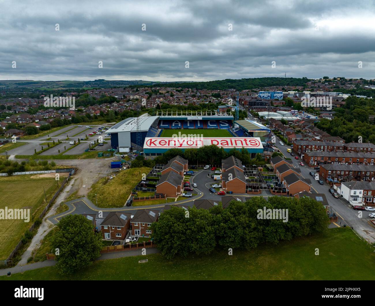 Boundary Park Luftdrohne aus der Luft, Oldham Athletic Football Club Stadium, Vogelperspektive Stockfotohttps://www.alamy.de/image-license-details/?v=1https://www.alamy.de/boundary-park-luftdrohne-aus-der-luft-oldham-athletic-football-club-stadium-vogelperspektive-image478596669.html
RM2JPHXX5–Boundary Park Luftdrohne aus der Luft, Oldham Athletic Football Club Stadium, Vogelperspektive
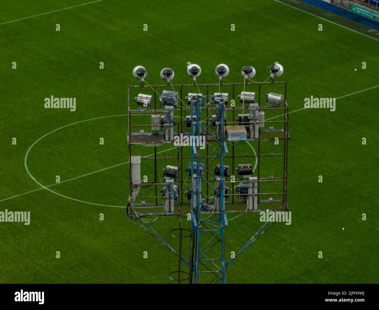 Boundary Park Luftdrohne aus der Luft, Oldham Athletic Football Club Stadium, Vogelperspektive Stockfotohttps://www.alamy.de/image-license-details/?v=1https://www.alamy.de/boundary-park-luftdrohne-aus-der-luft-oldham-athletic-football-club-stadium-vogelperspektive-image478596654.html
RM2JPHXWJ–Boundary Park Luftdrohne aus der Luft, Oldham Athletic Football Club Stadium, Vogelperspektive
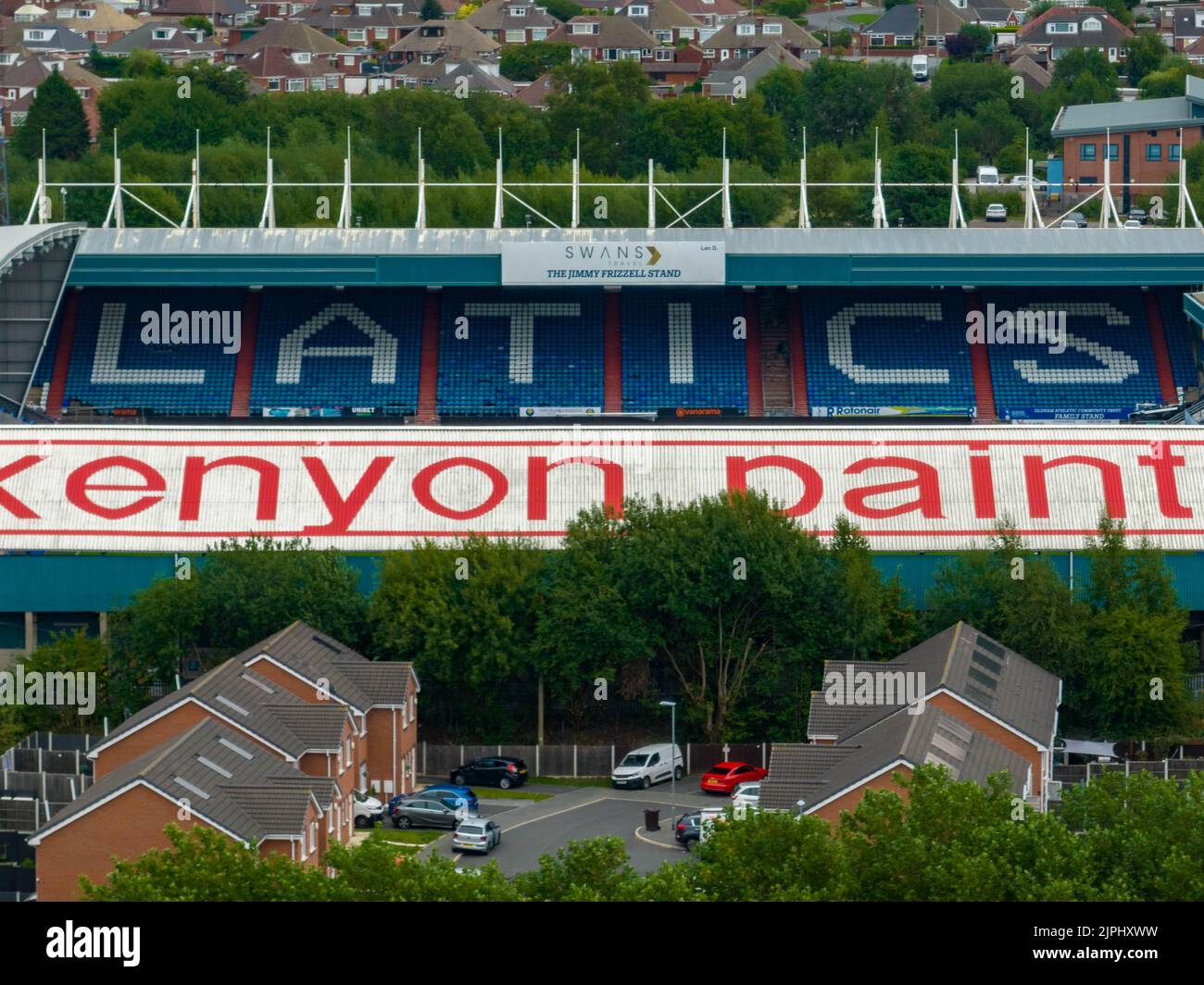 Boundary Park Luftdrohne aus der Luft, Oldham Athletic Football Club Stadium, Vogelperspektive Stockfotohttps://www.alamy.de/image-license-details/?v=1https://www.alamy.de/boundary-park-luftdrohne-aus-der-luft-oldham-athletic-football-club-stadium-vogelperspektive-image478596661.html
RM2JPHXWW–Boundary Park Luftdrohne aus der Luft, Oldham Athletic Football Club Stadium, Vogelperspektive