Schnellfilter:
East cape Stockfotos & Bilder
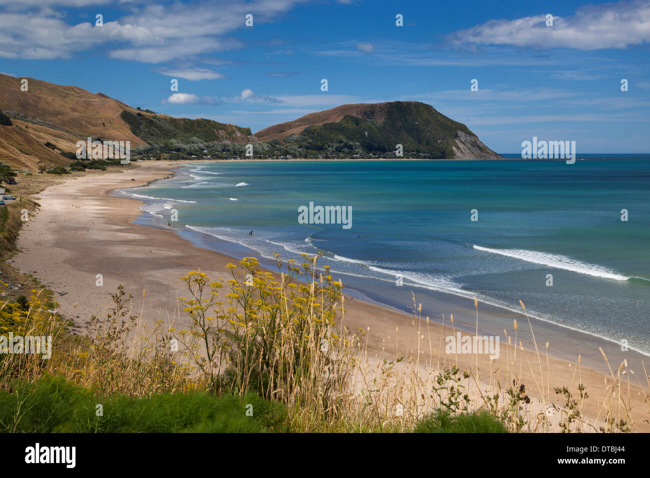 Tokomaru Bay, East Cape, Nordinsel, Neuseeland Stockfotohttps://www.alamy.de/image-license-details/?v=1https://www.alamy.de/tokomaru-bay-east-cape-nordinsel-neuseeland-image66638548.html
RMDTBJ44–Tokomaru Bay, East Cape, Nordinsel, Neuseeland
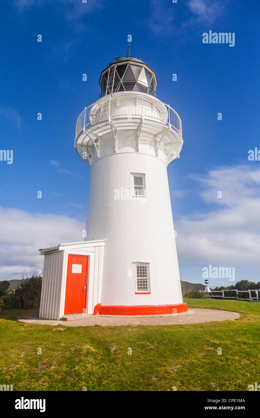 East Cape Lighthouse, am östlichsten Punkt Neuseelands. Stockfotohttps://www.alamy.de/image-license-details/?v=1https://www.alamy.de/stockfoto-east-cape-lighthouse-am-ostlichsten-punkt-neuseelands-48251850.html
RFCPE1MA–East Cape Lighthouse, am östlichsten Punkt Neuseelands.
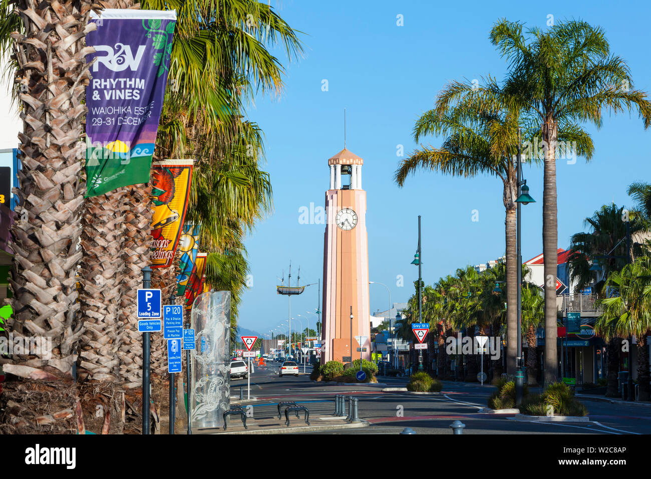 Gisborne Stadt Clock Tower, Gisborne, East Cape, North Island, Neuseeland Stockfotohttps://www.alamy.de/image-license-details/?v=1https://www.alamy.de/gisborne-stadt-clock-tower-gisborne-east-cape-north-island-neuseeland-image259654830.html
RMW2C8AP–Gisborne Stadt Clock Tower, Gisborne, East Cape, North Island, Neuseeland
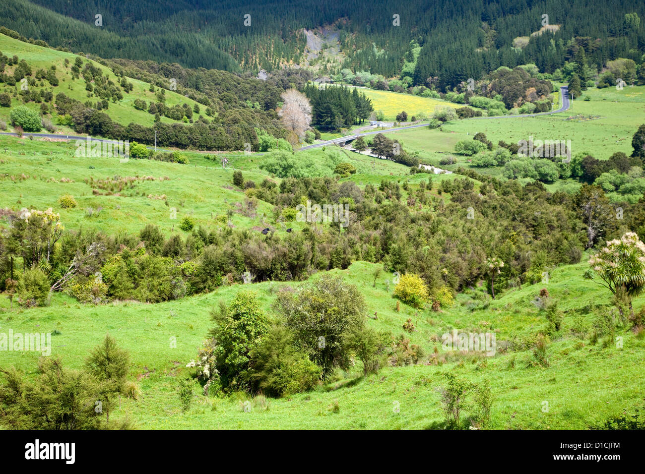 Blick vom Highway 35, East Cape, Nordinsel, südlich von Ruatoria, Neuseeland. Stockfotohttps://www.alamy.de/image-license-details/?v=1https://www.alamy.de/stockfoto-blick-vom-highway-35-east-cape-nordinsel-sudlich-von-ruatoria-neuseeland-52523736.html
RMD1CJFM–Blick vom Highway 35, East Cape, Nordinsel, südlich von Ruatoria, Neuseeland.
 East Cape Coast, Gisborne, North Island, Neuseeland Stockfotohttps://www.alamy.de/image-license-details/?v=1https://www.alamy.de/east-cape-coast-gisborne-north-island-neuseeland-image247873709.html
RFTB7HCD–East Cape Coast, Gisborne, North Island, Neuseeland
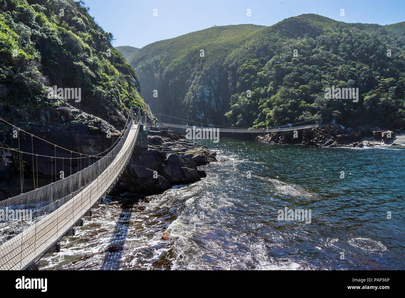 Afrika, Südafrika, East Cape, Tsitsikamma National Park, Storms River Mouth, Suspension Bridge Stockfotohttps://www.alamy.de/image-license-details/?v=1https://www.alamy.de/afrika-sudafrika-east-cape-tsitsikamma-national-park-storms-river-mouth-suspension-bridge-image213156462.html
RFPAP36P–Afrika, Südafrika, East Cape, Tsitsikamma National Park, Storms River Mouth, Suspension Bridge
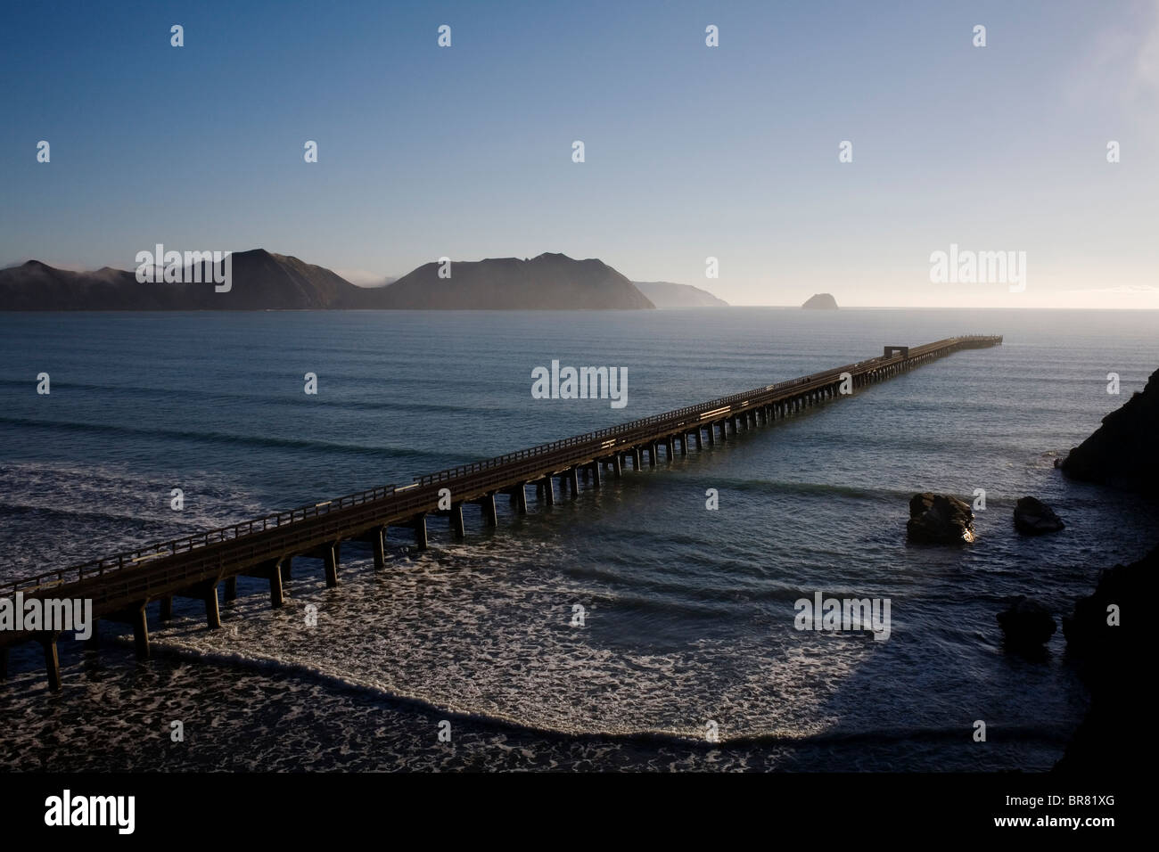 Tolaga Bay Wharf am East Cape, Neuseeland. Stockfotohttps://www.alamy.de/image-license-details/?v=1https://www.alamy.de/stockfoto-tolaga-bay-wharf-am-east-cape-neuseeland-31524600.html
RMBR81XG–Tolaga Bay Wharf am East Cape, Neuseeland.
 Neuseeland, East Cape Anaura Bucht im Morgengrauen Stockfotohttps://www.alamy.de/image-license-details/?v=1https://www.alamy.de/stockfoto-neuseeland-east-cape-anaura-bucht-im-morgengrauen-38035471.html
RFC5TJHK–Neuseeland, East Cape Anaura Bucht im Morgengrauen
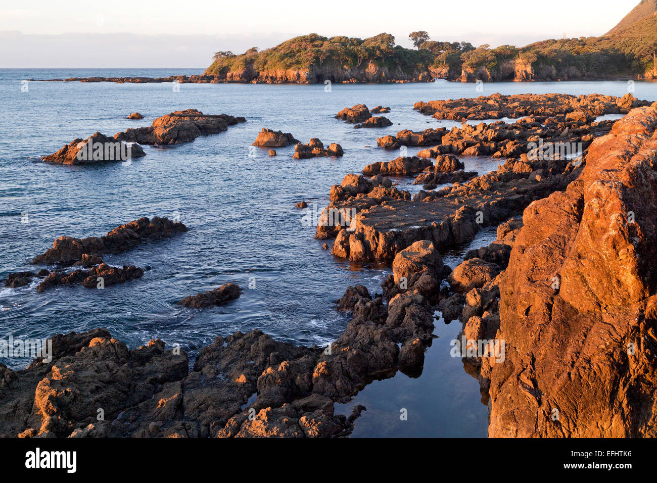 Felsküste bei Dämmerung, Whanarua Bay, East Cape, Nordinsel, Neuseeland Stockfotohttps://www.alamy.de/image-license-details/?v=1https://www.alamy.de/stockfoto-felskuste-bei-dammerung-whanarua-bay-east-cape-nordinsel-neuseeland-78453850.html
RMEFHTK6–Felsküste bei Dämmerung, Whanarua Bay, East Cape, Nordinsel, Neuseeland
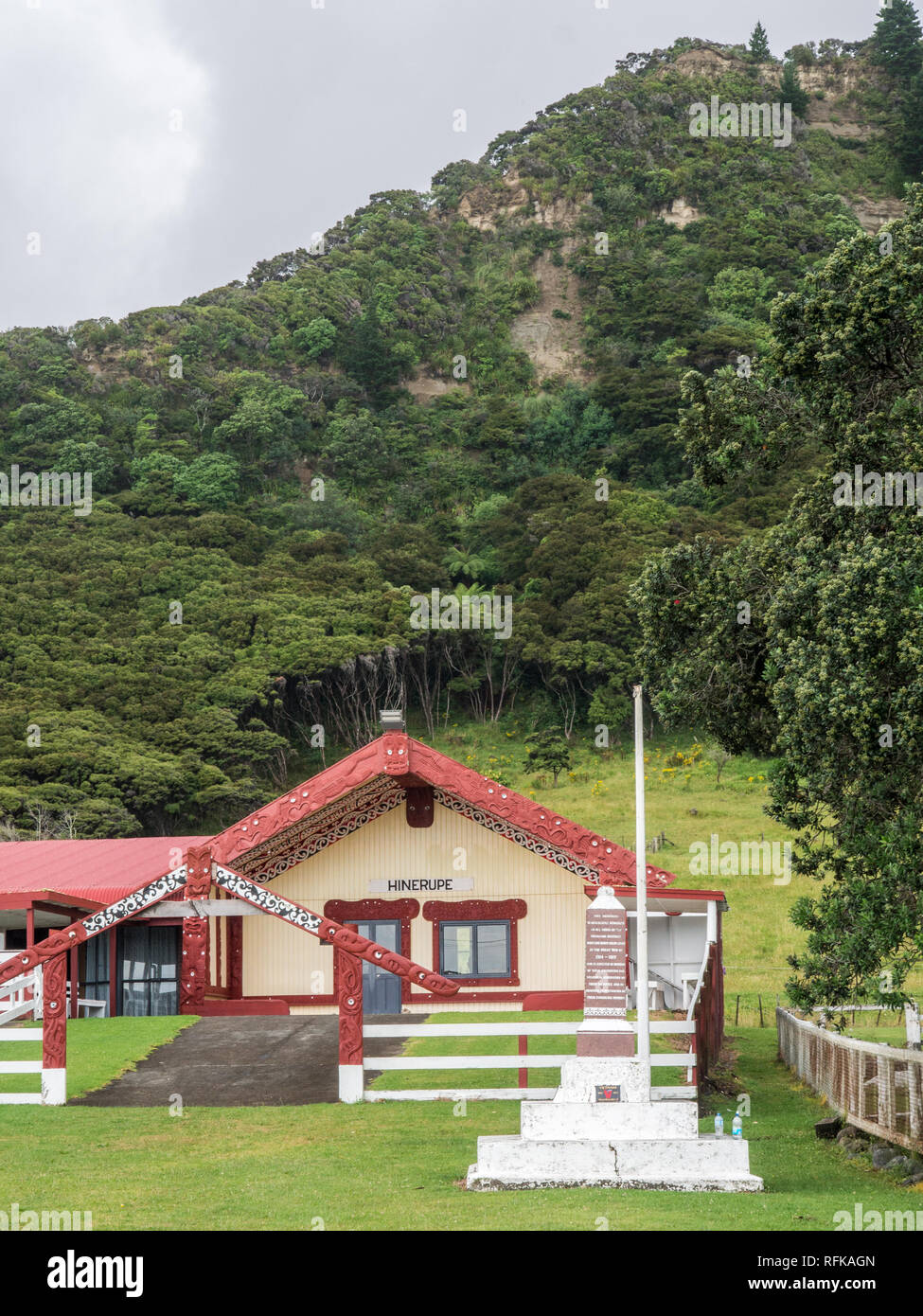 Hinerupe Marae, Te Araroa, East Cape, Neuseeland Stockfotohttps://www.alamy.de/image-license-details/?v=1https://www.alamy.de/hinerupe-marae-te-araroa-east-cape-neuseeland-image233380021.html
RMRFKAGN–Hinerupe Marae, Te Araroa, East Cape, Neuseeland
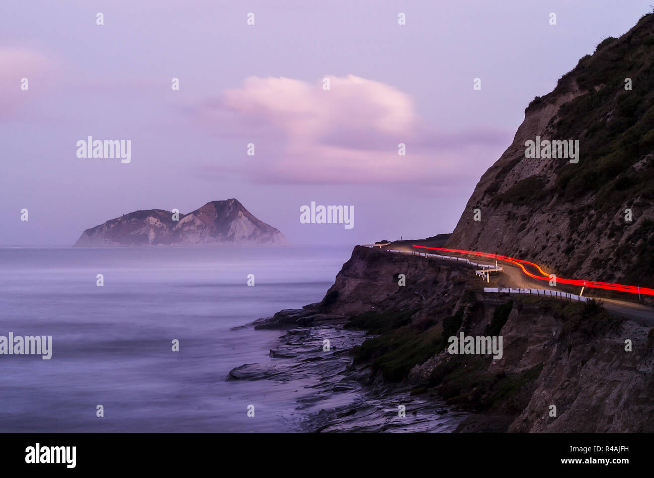 Rote Lichter eines Autos fahren auf einem entfernten East Cape Küstenstraße mit abgelegenen Insel, Nebel und steilen Felsen und die Landschaft Stockfotohttps://www.alamy.de/image-license-details/?v=1https://www.alamy.de/rote-lichter-eines-autos-fahren-auf-einem-entfernten-east-cape-kustenstrasse-mit-abgelegenen-insel-nebel-und-steilen-felsen-und-die-landschaft-image226427477.html
RMR4AJFH–Rote Lichter eines Autos fahren auf einem entfernten East Cape Küstenstraße mit abgelegenen Insel, Nebel und steilen Felsen und die Landschaft
 Der Leuchtturm East Cape liegt an der östlichen Spitze der Nordinsel Neuseelands. Dieses Foto wurde bei Sonnenuntergang im Sommer aufgenommen. Stockfotohttps://www.alamy.de/image-license-details/?v=1https://www.alamy.de/der-leuchtturm-east-cape-liegt-an-der-ostlichen-spitze-der-nordinsel-neuseelands-dieses-foto-wurde-bei-sonnenuntergang-im-sommer-aufgenommen-image366751764.html
RF2C8JYH8–Der Leuchtturm East Cape liegt an der östlichen Spitze der Nordinsel Neuseelands. Dieses Foto wurde bei Sonnenuntergang im Sommer aufgenommen.
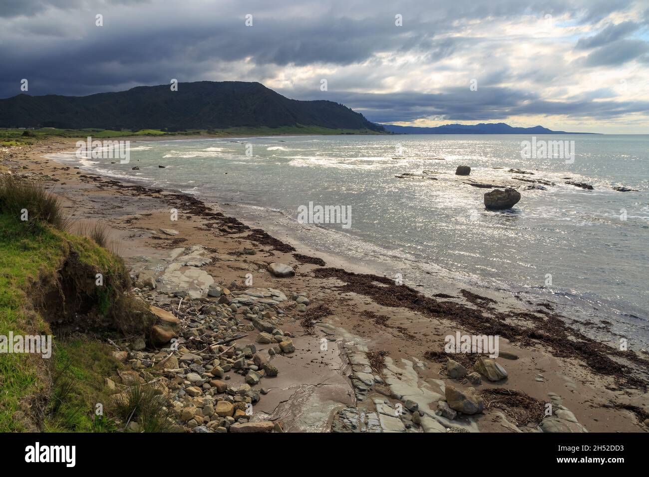 East Cape, der östlichste Punkt Neuseelands. Über dem Hautai Beach wehen Sturmwolken Stockfotohttps://www.alamy.de/image-license-details/?v=1https://www.alamy.de/east-cape-der-ostlichste-punkt-neuseelands-uber-dem-hautai-beach-wehen-sturmwolken-image450597311.html
RF2H52DD3–East Cape, der östlichste Punkt Neuseelands. Über dem Hautai Beach wehen Sturmwolken
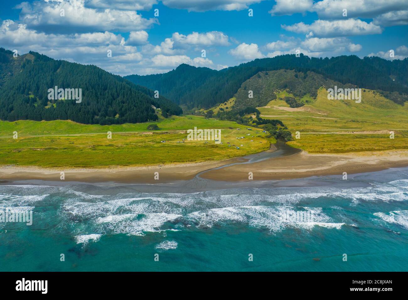 Eine Luftaufnahme des East Cape Campground neben dem Pazifik. Das Hotel liegt an der östlichen Spitze der Nordinsel von Neuseeland. Berge ein Wald le Stockfotohttps://www.alamy.de/image-license-details/?v=1https://www.alamy.de/eine-luftaufnahme-des-east-cape-campground-neben-dem-pazifik-das-hotel-liegt-an-der-ostlichen-spitze-der-nordinsel-von-neuseeland-berge-ein-wald-le-image366750797.html
RF2C8JXAN–Eine Luftaufnahme des East Cape Campground neben dem Pazifik. Das Hotel liegt an der östlichen Spitze der Nordinsel von Neuseeland. Berge ein Wald le
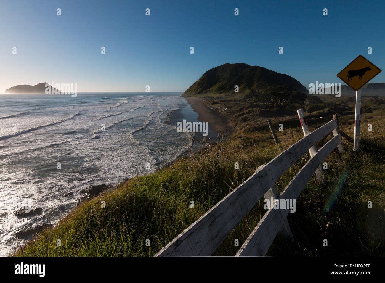 East Cape, Neuseeland Stockfotohttps://www.alamy.de/image-license-details/?v=1https://www.alamy.de/stockfoto-east-cape-neuseeland-129051538.html
RMHDXPFE–East Cape, Neuseeland
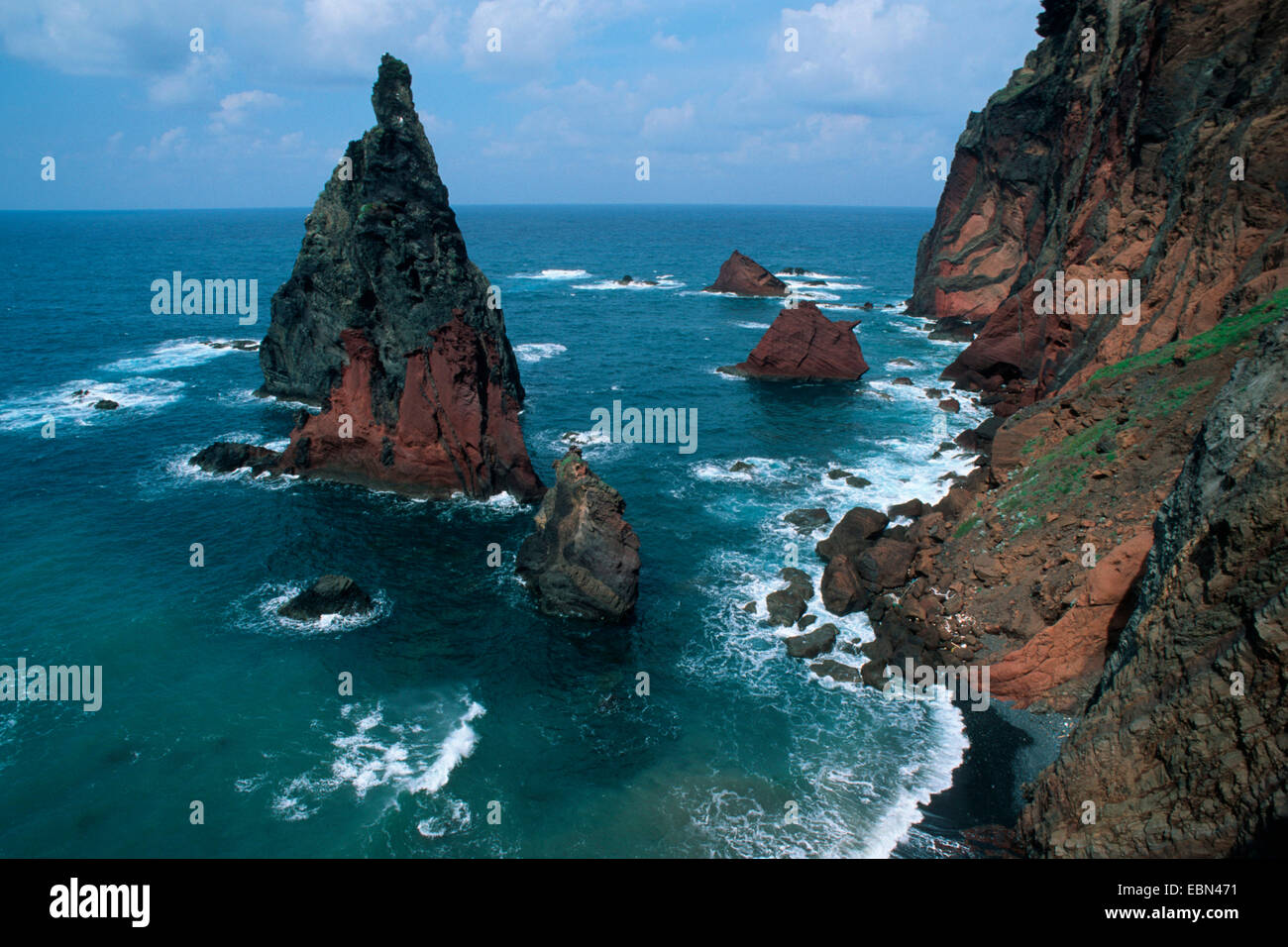 Felsenküste am East Cape, Madeira, Ponta de Sao Lourenzo Stockfotohttps://www.alamy.de/image-license-details/?v=1https://www.alamy.de/stockfoto-felsenkuste-am-east-cape-madeira-ponta-de-sao-lourenzo-76067013.html
RMEBN471–Felsenküste am East Cape, Madeira, Ponta de Sao Lourenzo
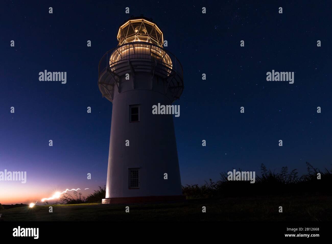 Das erste Licht des Tages im East Cape Lighthouse, North Island, Neuseeland Stockfotohttps://www.alamy.de/image-license-details/?v=1https://www.alamy.de/das-erste-licht-des-tages-im-east-cape-lighthouse-north-island-neuseeland-image344870800.html
RM2B12668–Das erste Licht des Tages im East Cape Lighthouse, North Island, Neuseeland
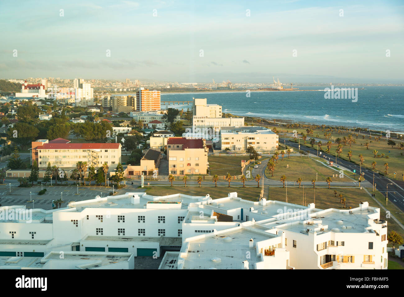 Blick auf die Stadt bei Sonnenaufgang, Port Elizabeth, Nelson Mandela Bay Municipality, Provinz Eastern Cape, Südafrika Stockfotohttps://www.alamy.de/image-license-details/?v=1https://www.alamy.de/stockfoto-blick-auf-die-stadt-bei-sonnenaufgang-port-elizabeth-nelson-mandela-bay-municipality-provinz-eastern-cape-sudafrika-93202345.html
RMFBHMF5–Blick auf die Stadt bei Sonnenaufgang, Port Elizabeth, Nelson Mandela Bay Municipality, Provinz Eastern Cape, Südafrika
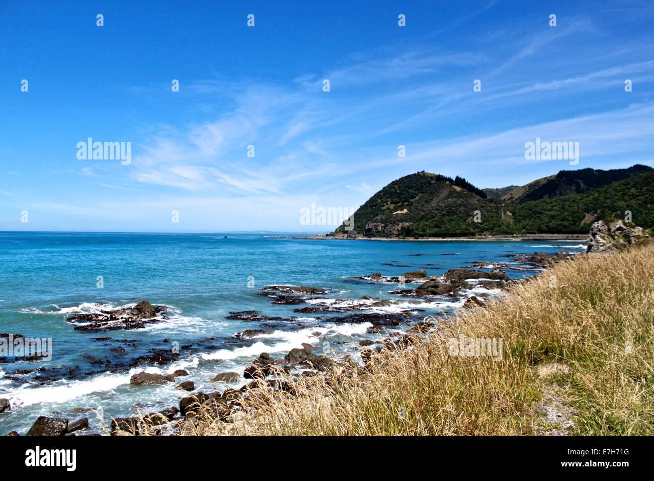 East Cape, Neuseeland Stockfotohttps://www.alamy.de/image-license-details/?v=1https://www.alamy.de/stockfoto-east-cape-neuseeland-73522780.html
RME7H71G–East Cape, Neuseeland
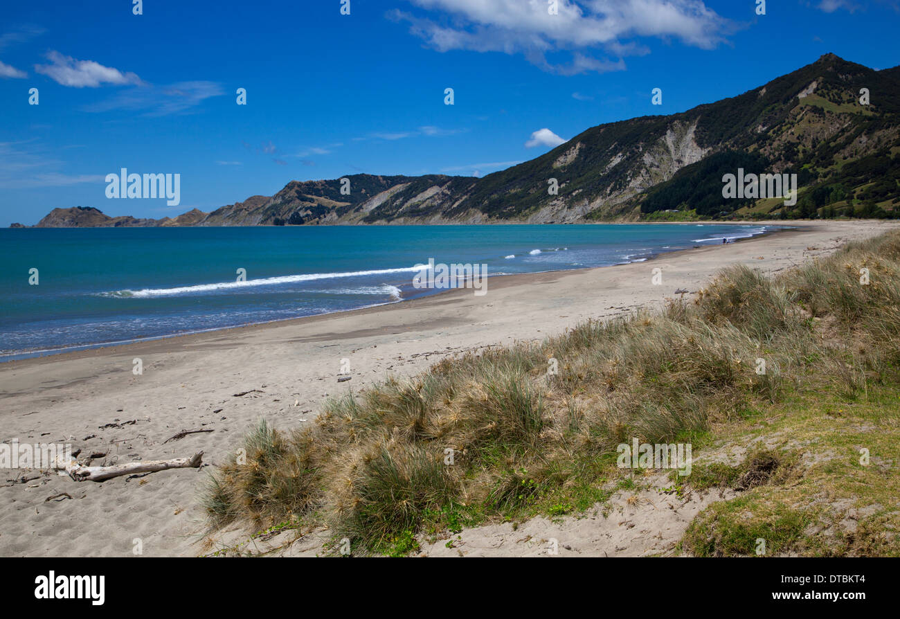 Tokomaru Bay, East Cape, Nordinsel, Neuseeland Stockfotohttps://www.alamy.de/image-license-details/?v=1https://www.alamy.de/tokomaru-bay-east-cape-nordinsel-neuseeland-image66639892.html
RMDTBKT4–Tokomaru Bay, East Cape, Nordinsel, Neuseeland
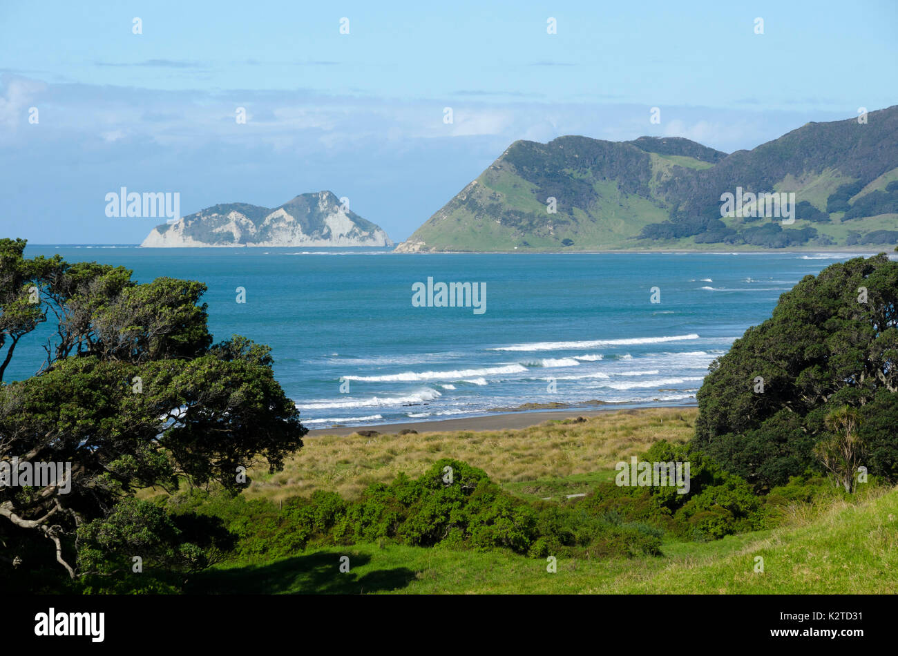 East Island, East Cape, North Island, Neuseeland Stockfotohttps://www.alamy.de/image-license-details/?v=1https://www.alamy.de/east-island-east-cape-north-island-neuseeland-image156659749.html
RFK2TD31–East Island, East Cape, North Island, Neuseeland
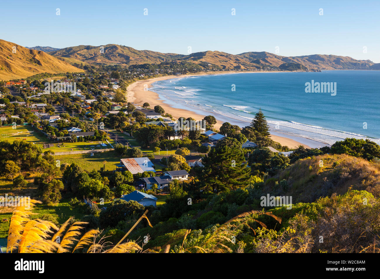 Erhöhte Blick über Wainui Beach, Gisborne, East Cape, North Island, Neuseeland Stockfotohttps://www.alamy.de/image-license-details/?v=1https://www.alamy.de/erhohte-blick-uber-wainui-beach-gisborne-east-cape-north-island-neuseeland-image259654828.html
RMW2C8AM–Erhöhte Blick über Wainui Beach, Gisborne, East Cape, North Island, Neuseeland
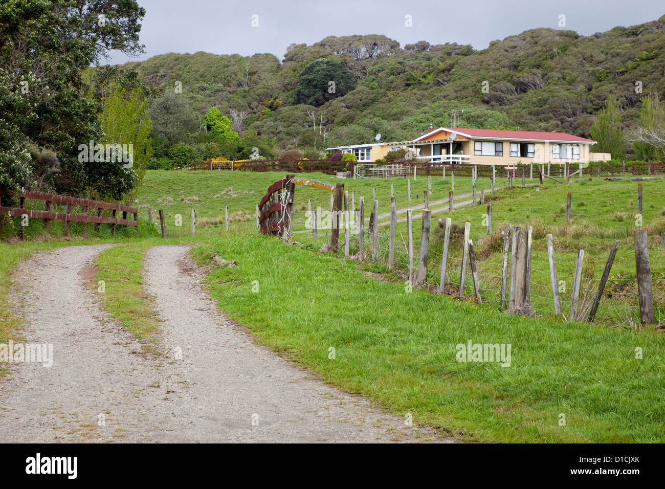 Finca nördlich von Tikitiki, East Cape, Nordinsel, Neuseeland, Highway 35. Stockfotohttps://www.alamy.de/image-license-details/?v=1https://www.alamy.de/stockfoto-finca-nordlich-von-tikitiki-east-cape-nordinsel-neuseeland-highway-35-52524043.html
RMD1CJXK–Finca nördlich von Tikitiki, East Cape, Nordinsel, Neuseeland, Highway 35.
 Christian Weiß Maori Kirche mit Zaun in Raukokore, East Cape, North Island, Neuseeland Stockfotohttps://www.alamy.de/image-license-details/?v=1https://www.alamy.de/christian-weiss-maori-kirche-mit-zaun-in-raukokore-east-cape-north-island-neuseeland-image247873796.html
RFTB7HFG–Christian Weiß Maori Kirche mit Zaun in Raukokore, East Cape, North Island, Neuseeland
 East Cape, Cape Conran, Victoria, Australien Stockfotohttps://www.alamy.de/image-license-details/?v=1https://www.alamy.de/stockfoto-east-cape-cape-conran-victoria-australien-146798374.html
RMJER6R2–East Cape, Cape Conran, Victoria, Australien
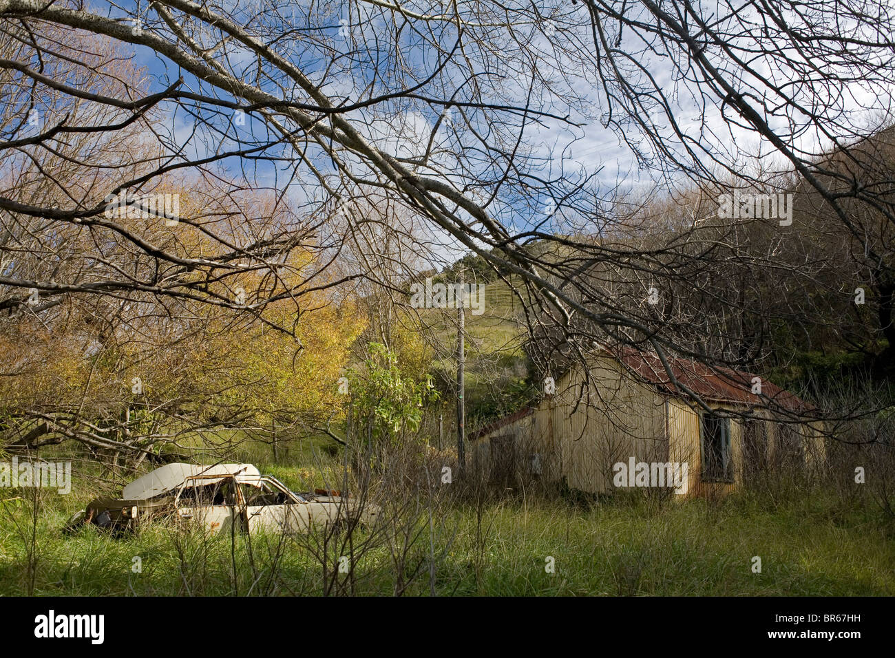 Ein verlassenes Auto und Haus in der East Cape Town of Tokomaru Bay, Neuseeland. Stockfotohttps://www.alamy.de/image-license-details/?v=1https://www.alamy.de/stockfoto-ein-verlassenes-auto-und-haus-in-der-east-cape-town-of-tokomaru-bay-neuseeland-31485149.html
RMBR67HH–Ein verlassenes Auto und Haus in der East Cape Town of Tokomaru Bay, Neuseeland.
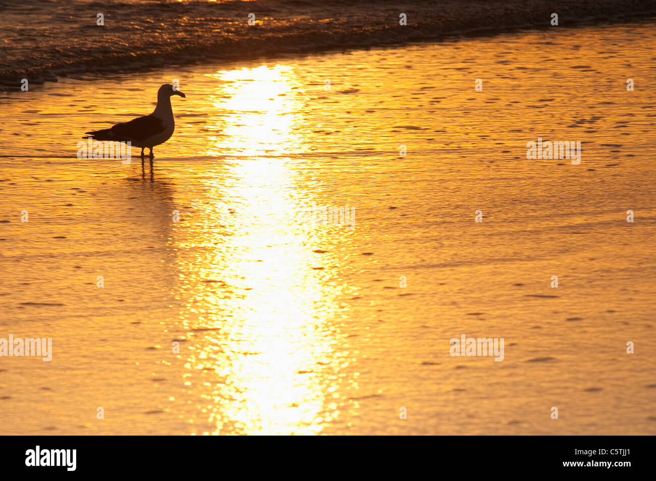 Neuseeland, East Cape, Anaura Bucht, Möwe im Morgengrauen Stockfotohttps://www.alamy.de/image-license-details/?v=1https://www.alamy.de/stockfoto-neuseeland-east-cape-anaura-bucht-mowe-im-morgengrauen-38035481.html
RFC5TJJ1–Neuseeland, East Cape, Anaura Bucht, Möwe im Morgengrauen
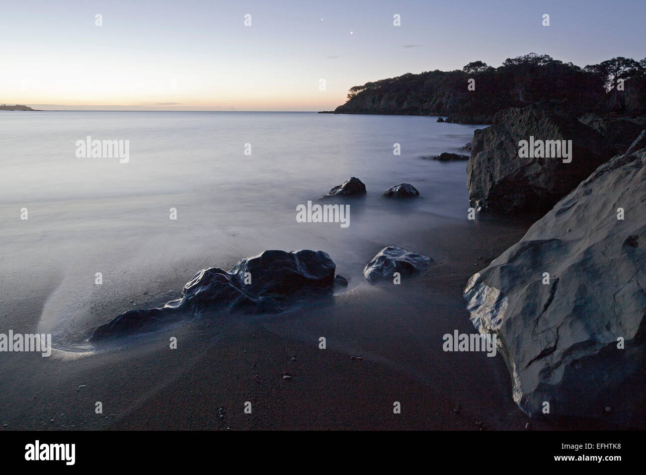 Felsküste bei Dämmerung, Whanarua Bay, East Cape, Nordinsel, Neuseeland Stockfotohttps://www.alamy.de/image-license-details/?v=1https://www.alamy.de/stockfoto-felskuste-bei-dammerung-whanarua-bay-east-cape-nordinsel-neuseeland-78453852.html
RMEFHTK8–Felsküste bei Dämmerung, Whanarua Bay, East Cape, Nordinsel, Neuseeland
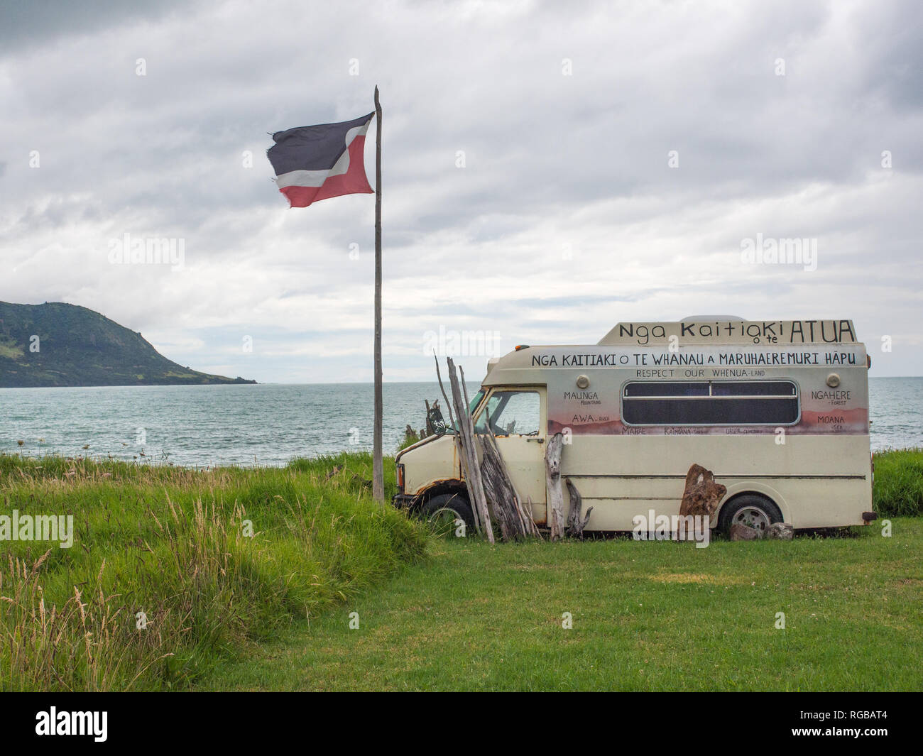 Tino Rangatiratanga Flagge, van Namensschild, Hüter des Landes, Nga Kaitiaki o Te Whanau, Raukokore, East Cape Neuseeland Stockfotohttps://www.alamy.de/image-license-details/?v=1https://www.alamy.de/tino-rangatiratanga-flagge-van-namensschild-huter-des-landes-nga-kaitiaki-o-te-whanau-raukokore-east-cape-neuseeland-image233819268.html
RMRGBAT4–Tino Rangatiratanga Flagge, van Namensschild, Hüter des Landes, Nga Kaitiaki o Te Whanau, Raukokore, East Cape Neuseeland
 Drift Holzmuster, Cape Onman Tschuktschensee, Russlands Fernen Osten Stockfotohttps://www.alamy.de/image-license-details/?v=1https://www.alamy.de/drift-holzmuster-cape-onman-tschuktschensee-russlands-fernen-osten-image388432331.html
RM2DFXHB7–Drift Holzmuster, Cape Onman Tschuktschensee, Russlands Fernen Osten
 Wandern zum South East Cape von Tasmanien, Australien Stockfotohttps://www.alamy.de/image-license-details/?v=1https://www.alamy.de/wandern-zum-south-east-cape-von-tasmanien-australien-image566850728.html
RF2RX67TT–Wandern zum South East Cape von Tasmanien, Australien
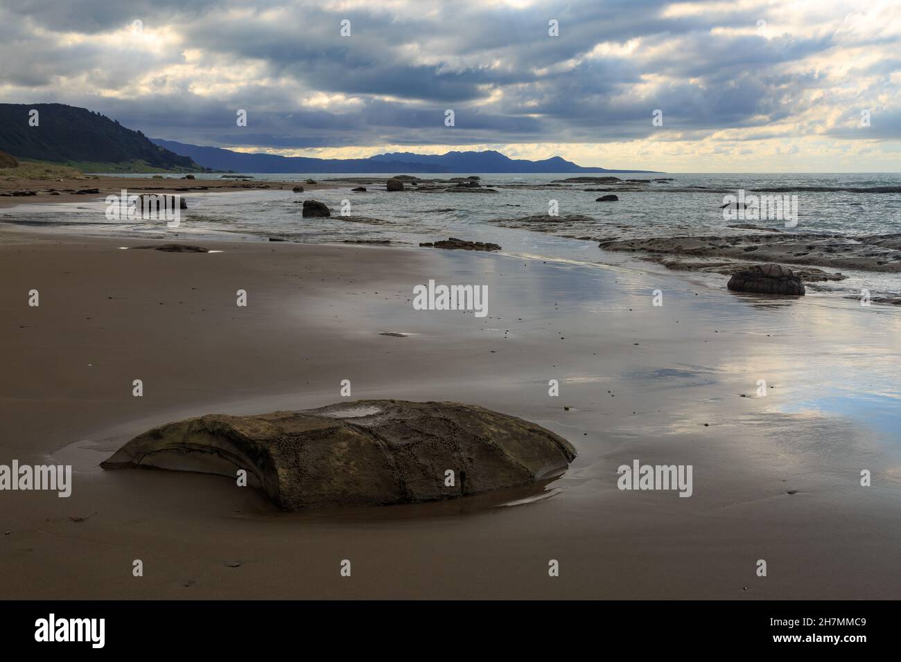 Hautai Beach am East Cape, dem östlichsten Teil der neuseeländischen Landschaft. Von den Hügeln weht Sturmwolken ein Stockfotohttps://www.alamy.de/image-license-details/?v=1https://www.alamy.de/hautai-beach-am-east-cape-dem-ostlichsten-teil-der-neuseelandischen-landschaft-von-den-hugeln-weht-sturmwolken-ein-image452227225.html
RF2H7MMC9–Hautai Beach am East Cape, dem östlichsten Teil der neuseeländischen Landschaft. Von den Hügeln weht Sturmwolken ein
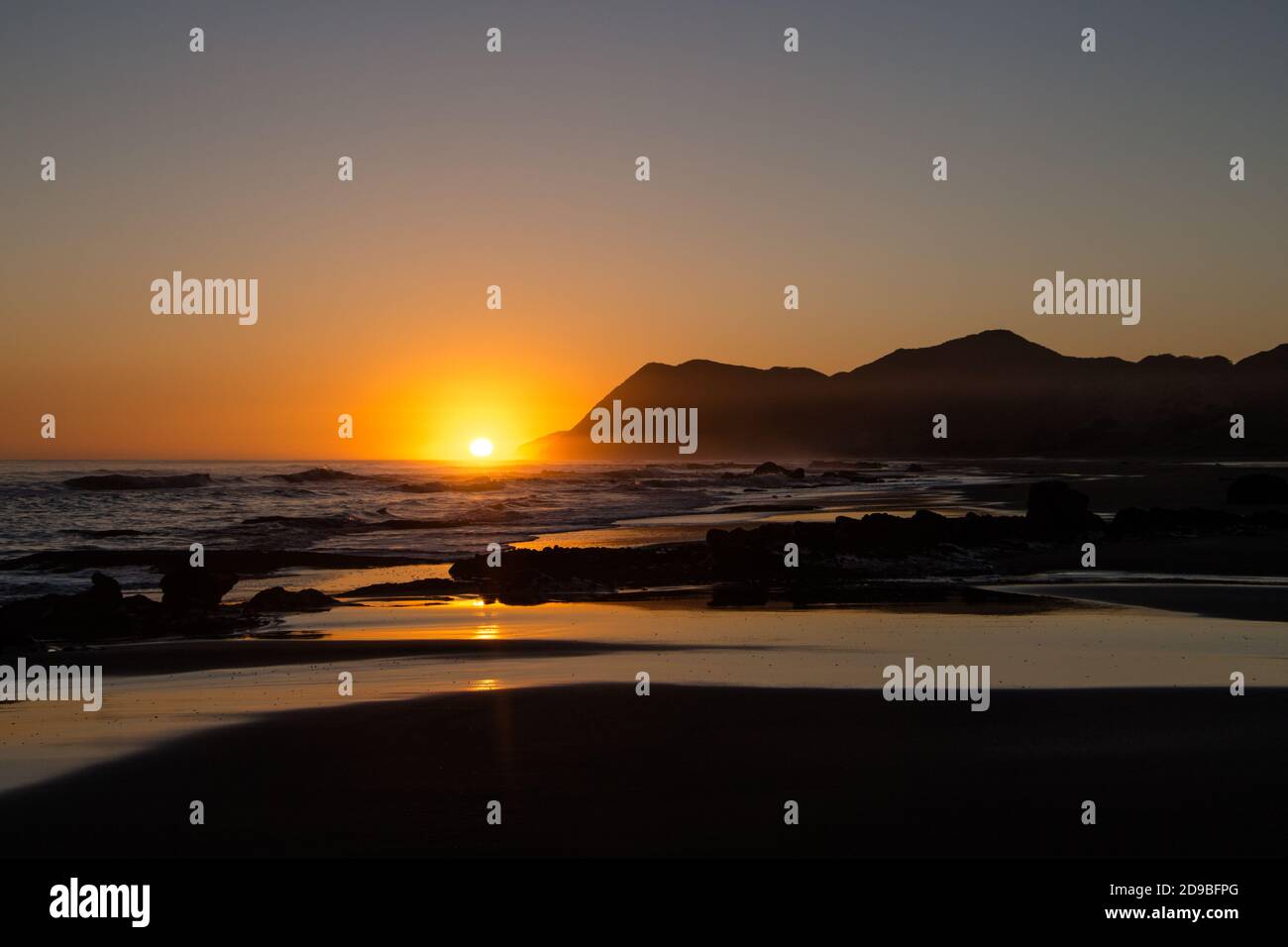 Am Ende der Welt neben dem Ostkap Von Neuseeland Stockfotohttps://www.alamy.de/image-license-details/?v=1https://www.alamy.de/am-ende-der-welt-neben-dem-ostkap-von-neuseeland-image384413864.html
RM2D9BFPG–Am Ende der Welt neben dem Ostkap Von Neuseeland
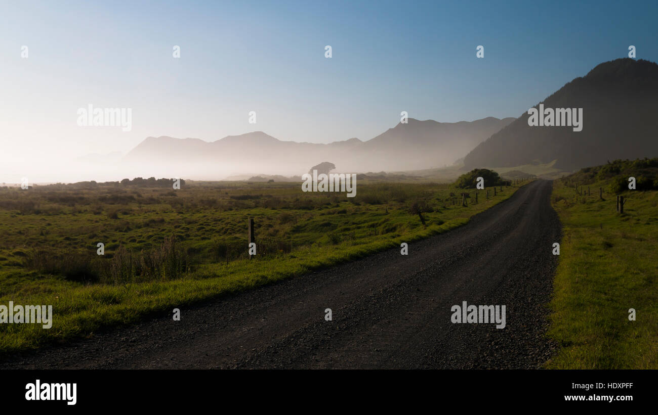 Feldweg zum East Cape, Neuseeland Stockfotohttps://www.alamy.de/image-license-details/?v=1https://www.alamy.de/stockfoto-feldweg-zum-east-cape-neuseeland-129051539.html
RMHDXPFF–Feldweg zum East Cape, Neuseeland
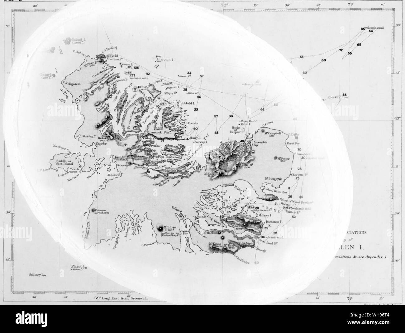 Karte von Kerguelen Land. 3000 km süd-östlich von Kapstadt. Auch als öde Insel bekannt. Stockfotohttps://www.alamy.de/image-license-details/?v=1https://www.alamy.de/karte-von-kerguelen-land-3000-km-sud-ostlich-von-kapstadt-auch-als-ode-insel-bekannt-image268807620.html
RMWH96T4–Karte von Kerguelen Land. 3000 km süd-östlich von Kapstadt. Auch als öde Insel bekannt.
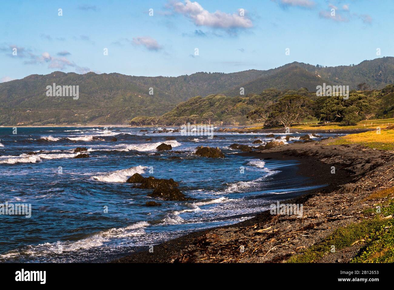 Typische Küstenlinie zwischen Whakatane und dem Ostkaper, Nordinsel, Neuseeland Stockfotohttps://www.alamy.de/image-license-details/?v=1https://www.alamy.de/typische-kustenlinie-zwischen-whakatane-und-dem-ostkaper-nordinsel-neuseeland-image344870767.html
RM2B12653–Typische Küstenlinie zwischen Whakatane und dem Ostkaper, Nordinsel, Neuseeland
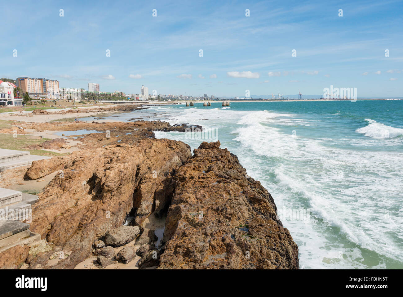 Blick auf die Stadt vom Strand in Summerstrand, Port Elizabeth, Eastern Cape Province, Südafrika Stockfotohttps://www.alamy.de/image-license-details/?v=1https://www.alamy.de/stockfoto-blick-auf-die-stadt-vom-strand-in-summerstrand-port-elizabeth-eastern-cape-province-sudafrika-93202868.html
RMFBHN5T–Blick auf die Stadt vom Strand in Summerstrand, Port Elizabeth, Eastern Cape Province, Südafrika
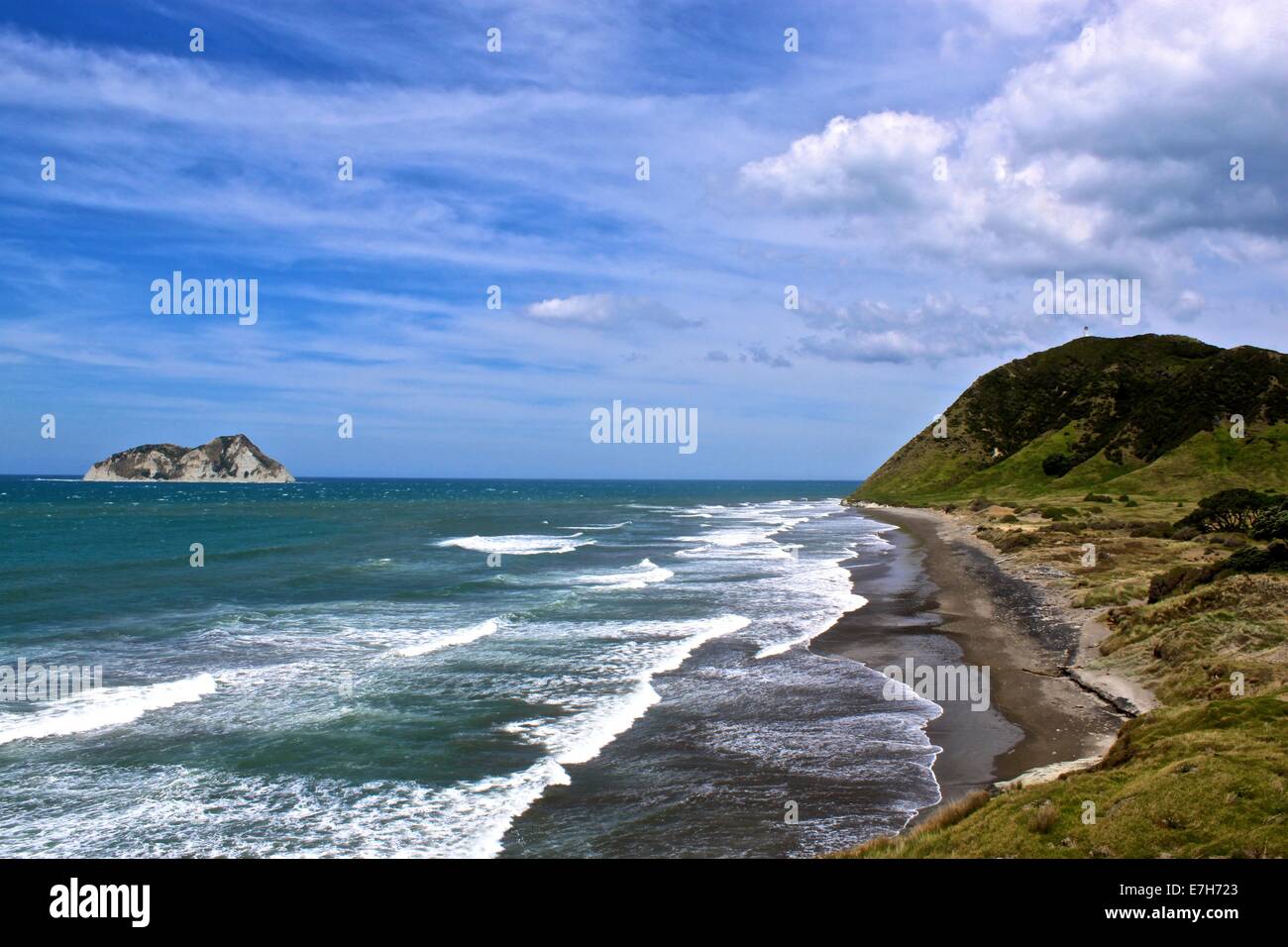 Das East Cape Küste Neuseelands mit dem Leuchtturm im Hintergrund Stockfotohttps://www.alamy.de/image-license-details/?v=1https://www.alamy.de/stockfoto-das-east-cape-kuste-neuseelands-mit-dem-leuchtturm-im-hintergrund-73522795.html
RME7H723–Das East Cape Küste Neuseelands mit dem Leuchtturm im Hintergrund
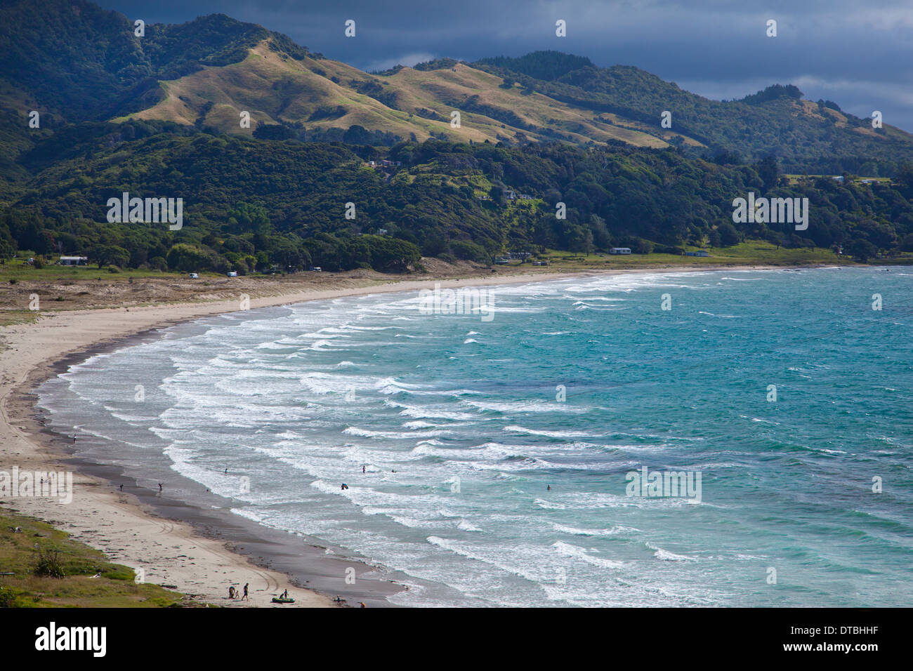 Whangaparaoa Bay, East Cape, Nordinsel, Neuseeland Stockfotohttps://www.alamy.de/image-license-details/?v=1https://www.alamy.de/whangaparaoa-bay-east-cape-nordinsel-neuseeland-image66638139.html
RMDTBHHF–Whangaparaoa Bay, East Cape, Nordinsel, Neuseeland
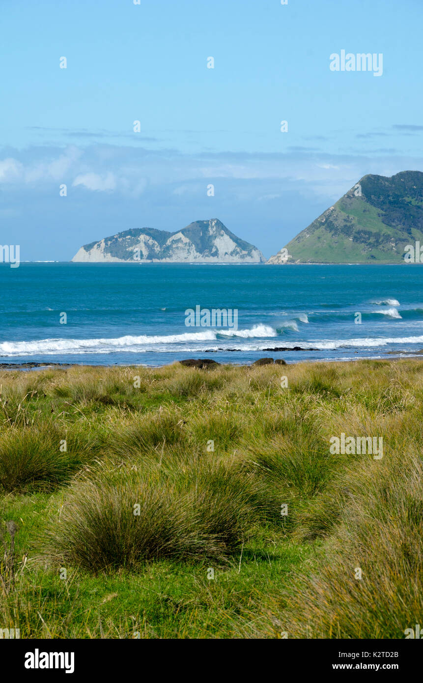 East Island, East Cape, North Island, Neuseeland Stockfotohttps://www.alamy.de/image-license-details/?v=1https://www.alamy.de/east-island-east-cape-north-island-neuseeland-image156659731.html
RFK2TD2B–East Island, East Cape, North Island, Neuseeland
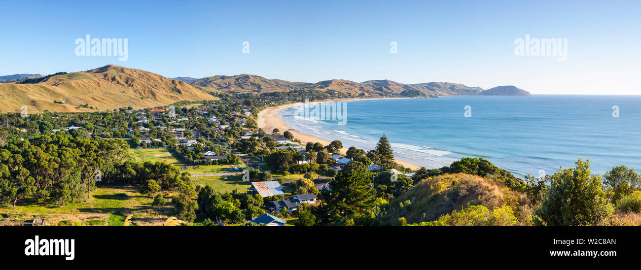 Erhöhte Blick über Wainui Beach, Gisborne, East Cape, North Island, Neuseeland Stockfotohttps://www.alamy.de/image-license-details/?v=1https://www.alamy.de/erhohte-blick-uber-wainui-beach-gisborne-east-cape-north-island-neuseeland-image259654829.html
RMW2C8AN–Erhöhte Blick über Wainui Beach, Gisborne, East Cape, North Island, Neuseeland
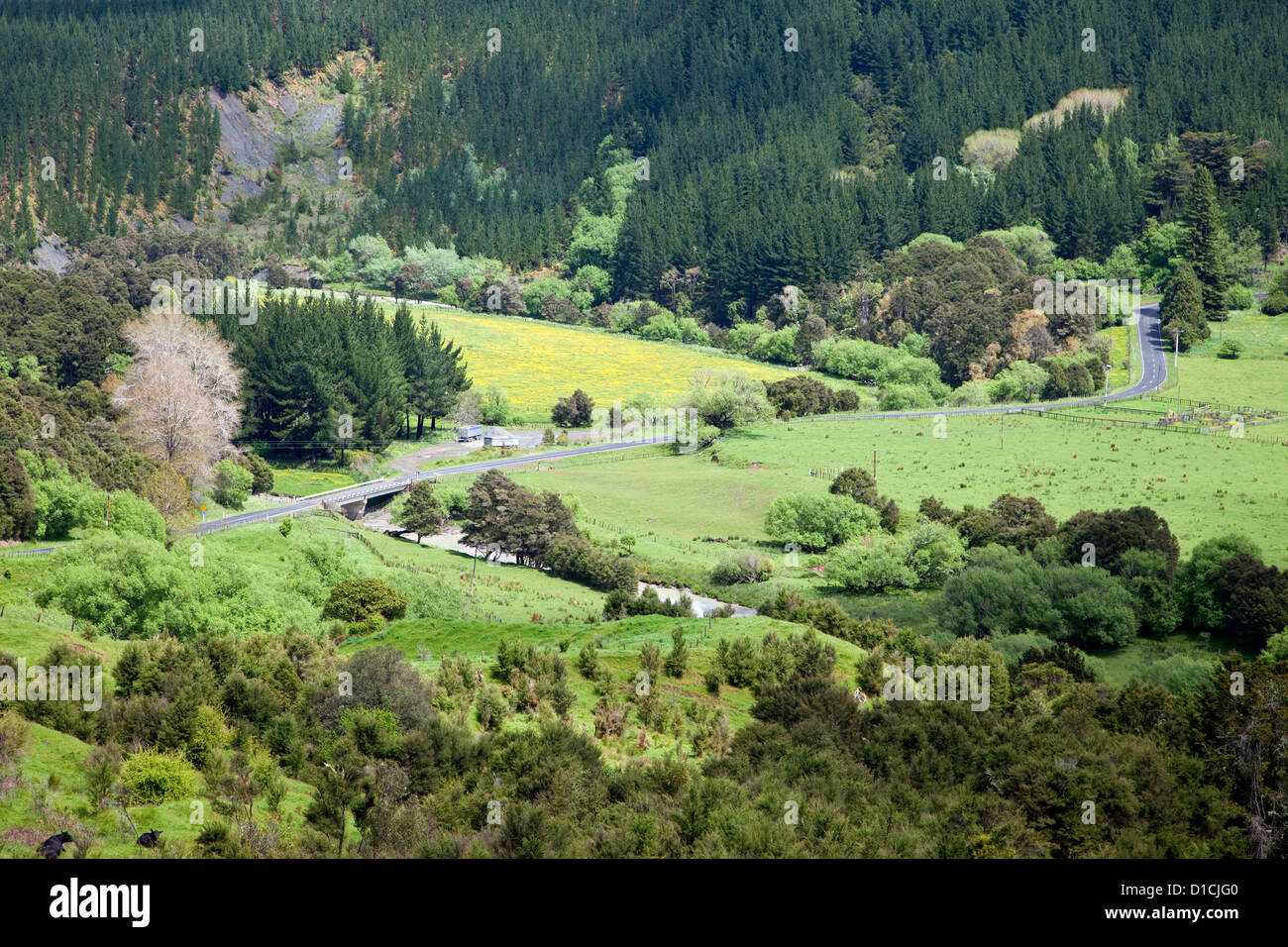 Blick vom Highway 35, East Cape, Nordinsel, südlich von Ruatoria, Neuseeland. Stockfotohttps://www.alamy.de/image-license-details/?v=1https://www.alamy.de/stockfoto-blick-vom-highway-35-east-cape-nordinsel-sudlich-von-ruatoria-neuseeland-52523744.html
RMD1CJG0–Blick vom Highway 35, East Cape, Nordinsel, südlich von Ruatoria, Neuseeland.
 Christian Weiß Maori Kirche mit Friedhof in Raukokore, East Cape, North Island, Neuseeland Stockfotohttps://www.alamy.de/image-license-details/?v=1https://www.alamy.de/christian-weiss-maori-kirche-mit-friedhof-in-raukokore-east-cape-north-island-neuseeland-image247873804.html
RFTB7HFT–Christian Weiß Maori Kirche mit Friedhof in Raukokore, East Cape, North Island, Neuseeland
 Kohlbäume am Hang im Sonnenlicht, Ostkap Stockfotohttps://www.alamy.de/image-license-details/?v=1https://www.alamy.de/kohlbaume-am-hang-im-sonnenlicht-ostkap-image439337321.html
RF2GENF6H–Kohlbäume am Hang im Sonnenlicht, Ostkap
 Holzkreuz und Blick auf die East Cape Stadt Los Barrilles und den Golf von Kalifornien auf dem Gipfel des Cerro Los Barriles in Baja California Sur, Mexic Stockfotohttps://www.alamy.de/image-license-details/?v=1https://www.alamy.de/holzkreuz-und-blick-auf-die-east-cape-stadt-los-barrilles-und-den-golf-von-kalifornien-auf-dem-gipfel-des-cerro-los-barriles-in-baja-california-sur-mexic-image636915530.html
RF2S06076–Holzkreuz und Blick auf die East Cape Stadt Los Barrilles und den Golf von Kalifornien auf dem Gipfel des Cerro Los Barriles in Baja California Sur, Mexic
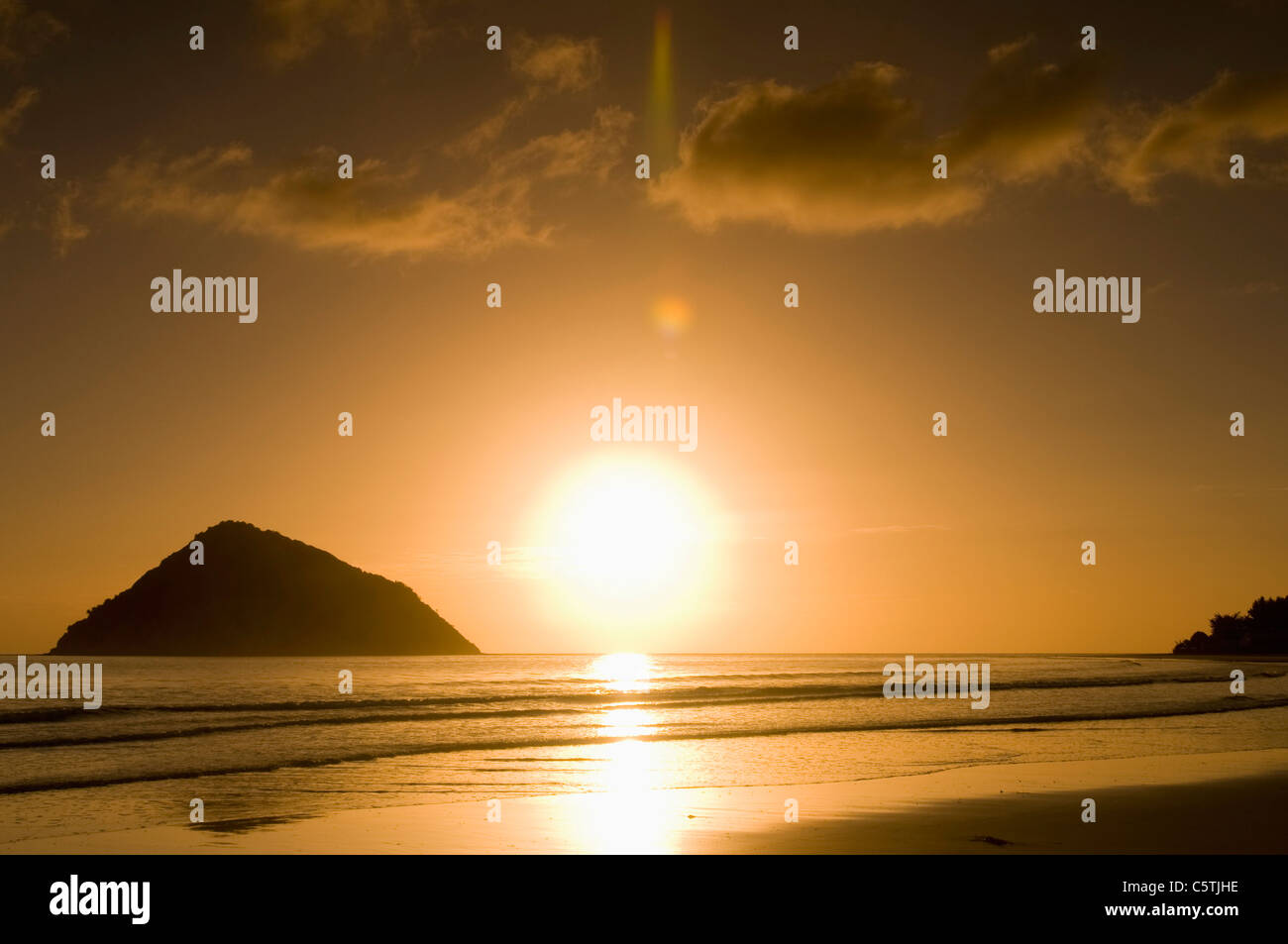 Neuseeland, East Cape, Anaura Bucht, Strand bei Sonnenaufgang Stockfotohttps://www.alamy.de/image-license-details/?v=1https://www.alamy.de/stockfoto-neuseeland-east-cape-anaura-bucht-strand-bei-sonnenaufgang-38035466.html
RFC5TJHE–Neuseeland, East Cape, Anaura Bucht, Strand bei Sonnenaufgang
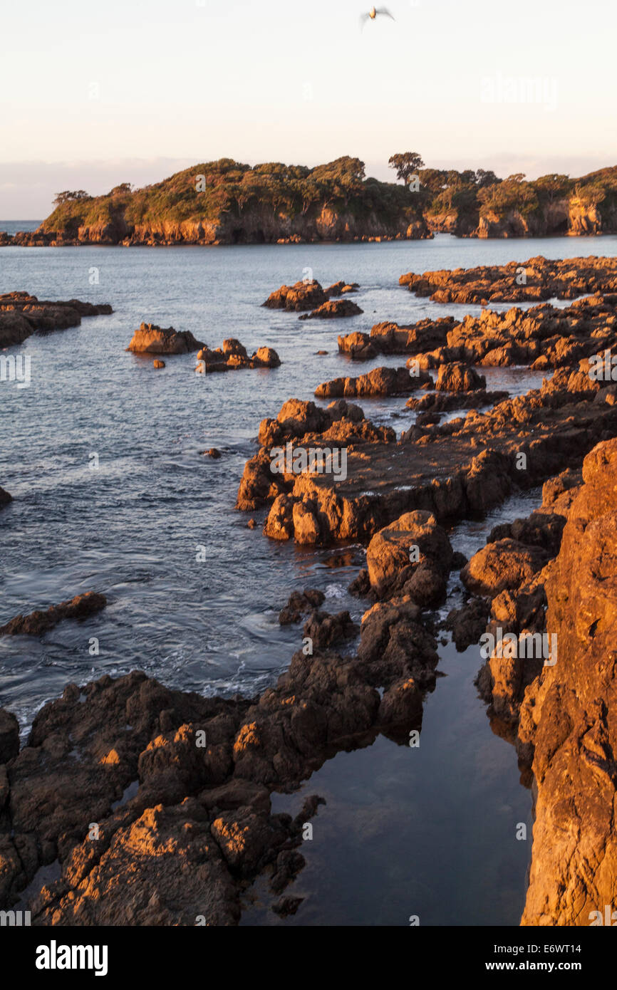 Felsküste bei Whanarua Bay bei Sonnenuntergang, East Cape, Nordinsel, Neuseeland Stockfotohttps://www.alamy.de/image-license-details/?v=1https://www.alamy.de/stockfoto-felskuste-bei-whanarua-bay-bei-sonnenuntergang-east-cape-nordinsel-neuseeland-73097056.html
RME6WT14–Felsküste bei Whanarua Bay bei Sonnenuntergang, East Cape, Nordinsel, Neuseeland
 Otuwhare Marae, Omaio, East Cape, Neuseeland Stockfotohttps://www.alamy.de/image-license-details/?v=1https://www.alamy.de/otuwhare-marae-omaio-east-cape-neuseeland-image233491063.html
RMRFTC6F–Otuwhare Marae, Omaio, East Cape, Neuseeland
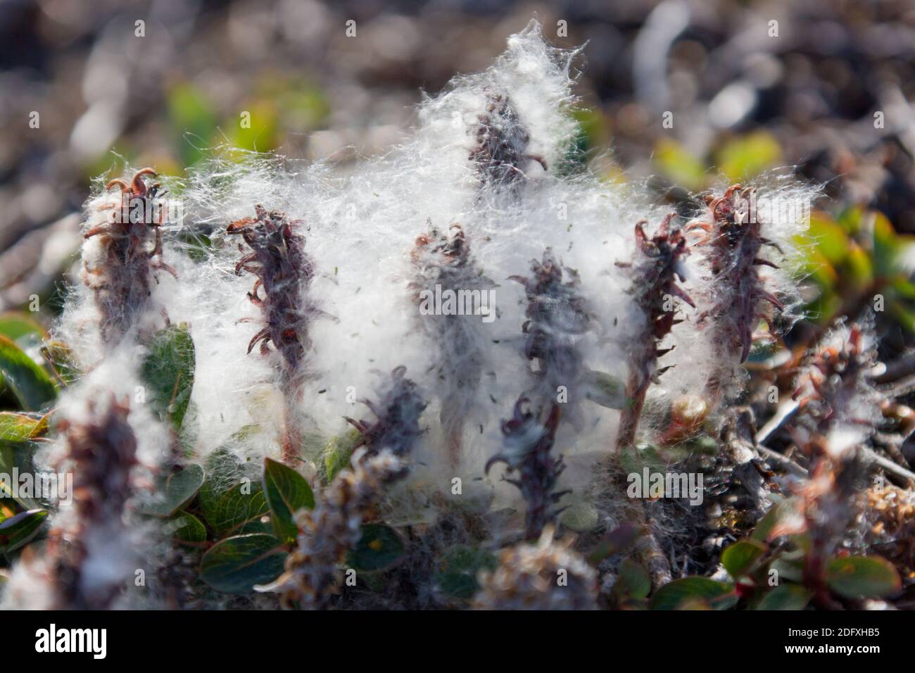 Sibirischen Zwerg Willow, Cape Onman, Tschuktschensee, Russlands Fernen Osten Stockfotohttps://www.alamy.de/image-license-details/?v=1https://www.alamy.de/sibirischen-zwerg-willow-cape-onman-tschuktschensee-russlands-fernen-osten-image388432329.html
RM2DFXHB5–Sibirischen Zwerg Willow, Cape Onman, Tschuktschensee, Russlands Fernen Osten
 Die Lion Rock Formation befindet sich am Südostkap Tasmaniens in Australien Stockfotohttps://www.alamy.de/image-license-details/?v=1https://www.alamy.de/die-lion-rock-formation-befindet-sich-am-sudostkap-tasmaniens-in-australien-image566850769.html
RF2RX67X9–Die Lion Rock Formation befindet sich am Südostkap Tasmaniens in Australien
 Küste bei Little Awanui am Ostkap von Neuseeland. Direkt vor der Küste liegt die Insel Motunui. Auf dem Rasen ist ein Quad-Bike geparkt Stockfotohttps://www.alamy.de/image-license-details/?v=1https://www.alamy.de/kuste-bei-little-awanui-am-ostkap-von-neuseeland-direkt-vor-der-kuste-liegt-die-insel-motunui-auf-dem-rasen-ist-ein-quad-bike-geparkt-image449231598.html
RF2H2T7DJ–Küste bei Little Awanui am Ostkap von Neuseeland. Direkt vor der Küste liegt die Insel Motunui. Auf dem Rasen ist ein Quad-Bike geparkt
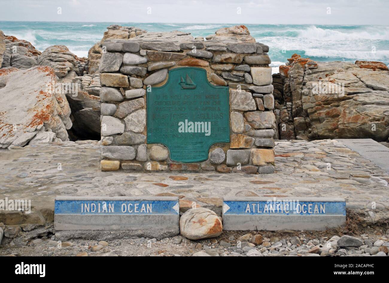 Kap der Guten Hoffnung, zwischen Indischen und Atlantischen Ozean, Ostküste, Südafrika, Afrika Stockfotohttps://www.alamy.de/image-license-details/?v=1https://www.alamy.de/kap-der-guten-hoffnung-zwischen-indischen-und-atlantischen-ozean-ostkuste-sudafrika-afrika-image334610120.html
RM2ACAPHC–Kap der Guten Hoffnung, zwischen Indischen und Atlantischen Ozean, Ostküste, Südafrika, Afrika
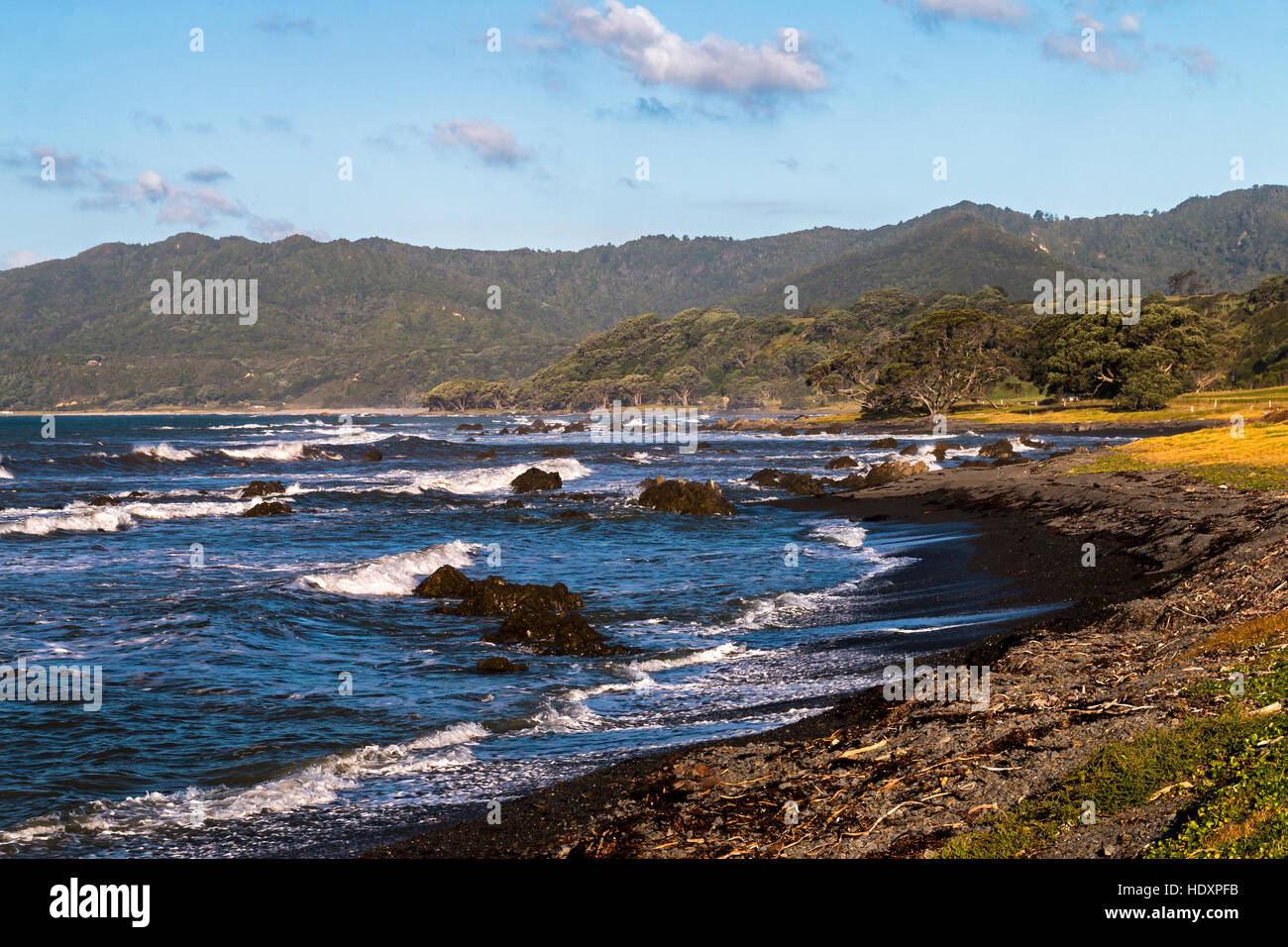 Küste zwischen Whakatane und East Cape, Neuseeland Stockfotohttps://www.alamy.de/image-license-details/?v=1https://www.alamy.de/stockfoto-kuste-zwischen-whakatane-und-east-cape-neuseeland-129051535.html
RMHDXPFB–Küste zwischen Whakatane und East Cape, Neuseeland
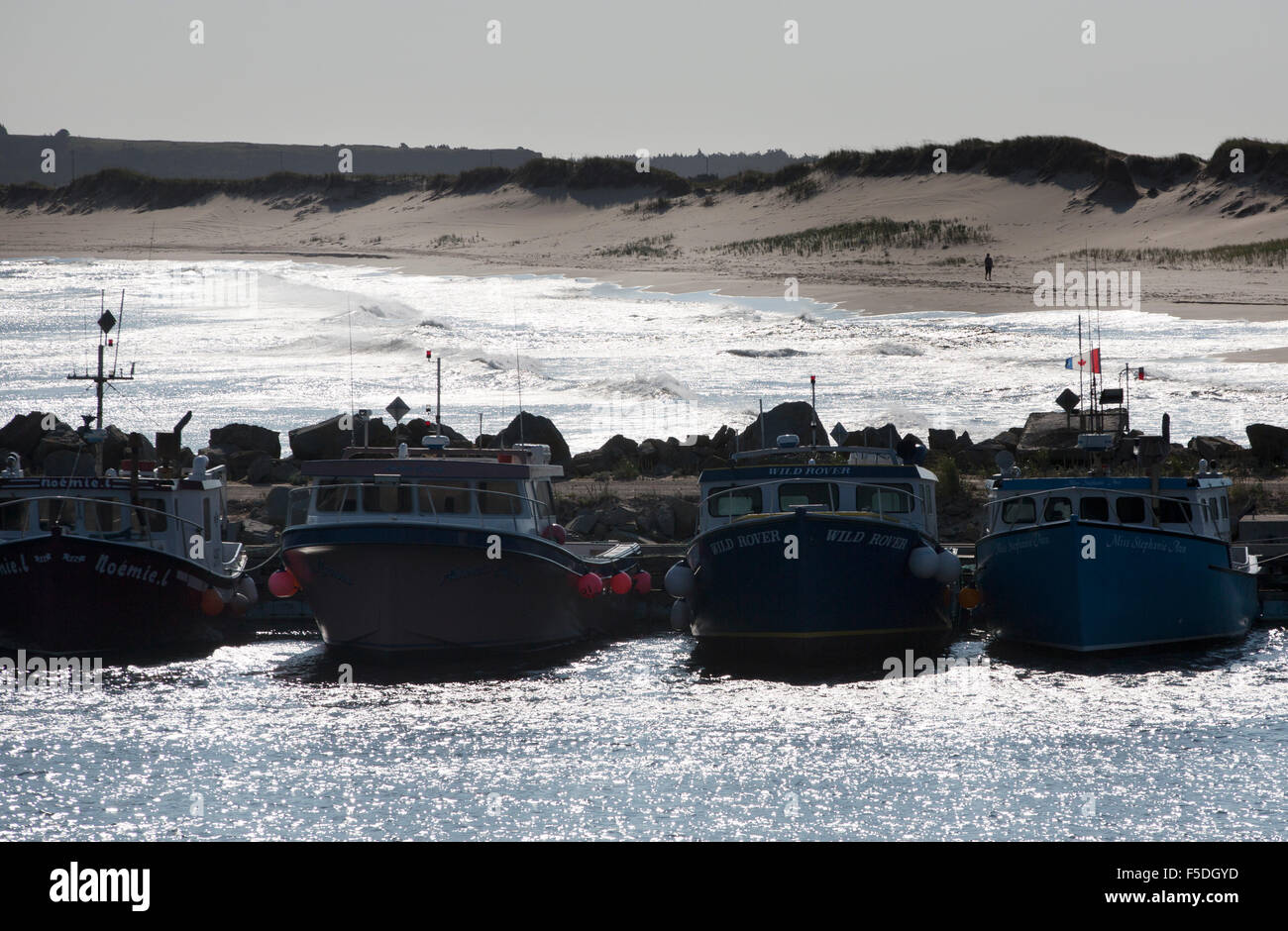 East Cape, Magdalen Inseln, Kanada Stockfotohttps://www.alamy.de/image-license-details/?v=1https://www.alamy.de/stockfoto-east-cape-magdalen-inseln-kanada-89423809.html
RMF5DGYD–East Cape, Magdalen Inseln, Kanada
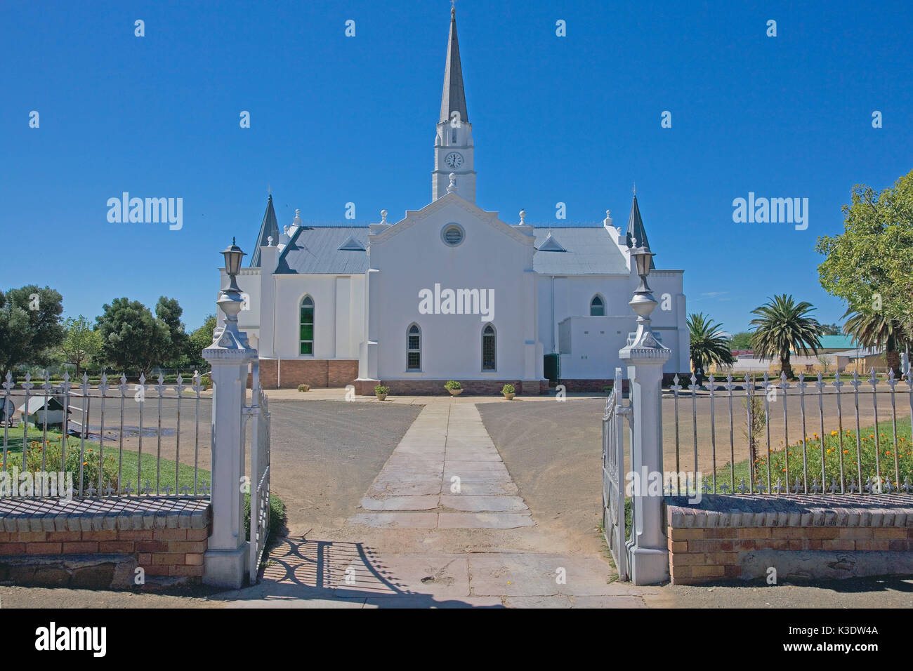 Afrika, Südafrika, East Cape, Eastern Cape, Aberdeen, Stockfotohttps://www.alamy.de/image-license-details/?v=1https://www.alamy.de/afrika-sudafrika-east-cape-eastern-cape-aberdeen-image157042378.html
RMK3DW4A–Afrika, Südafrika, East Cape, Eastern Cape, Aberdeen,
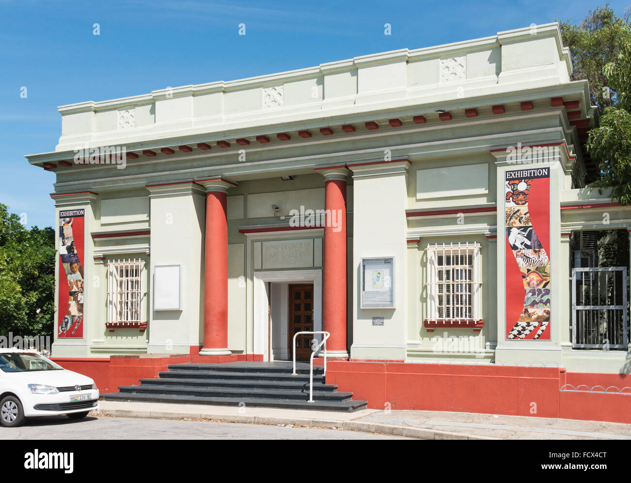 Nelson Mandela Metropolitan Art Museum, Park Drive, Port Elizabeth, Nelson Mandela Bay, Ostkap, Südafrika Stockfotohttps://www.alamy.de/image-license-details/?v=1https://www.alamy.de/stockfoto-nelson-mandela-metropolitan-art-museum-park-drive-port-elizabeth-nelson-mandela-bay-ostkap-sudafrika-94001960.html
RMFCX4CT–Nelson Mandela Metropolitan Art Museum, Park Drive, Port Elizabeth, Nelson Mandela Bay, Ostkap, Südafrika
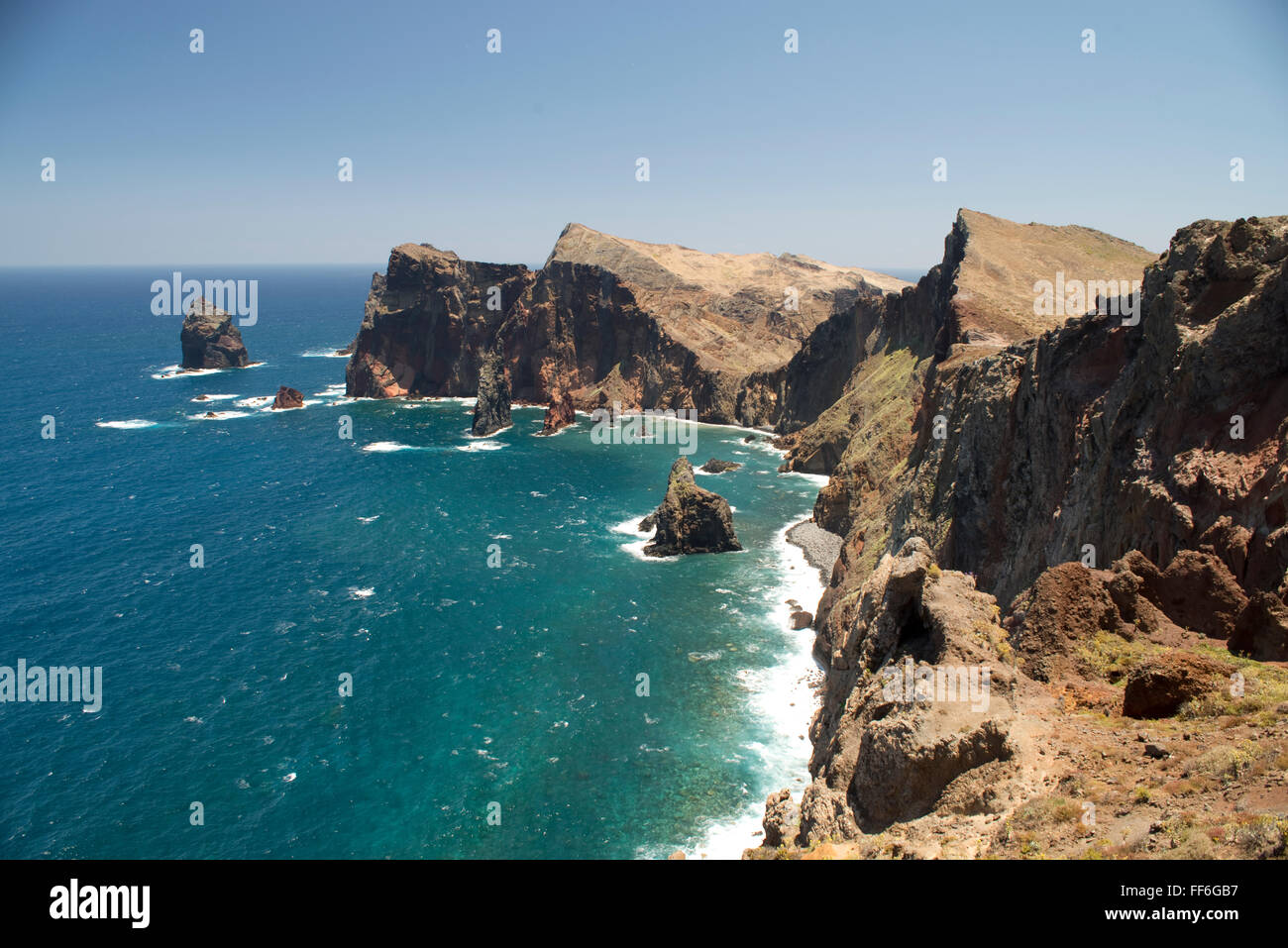 Klippen und Felswänden in den Hügeln der windgepeitschten Eastern Cape Madeira in der Nähe von Ponta de Sao Lourenco mit einem tiefblauen Meer Stockfotohttps://www.alamy.de/image-license-details/?v=1https://www.alamy.de/stockfoto-klippen-und-felswanden-in-den-hugeln-der-windgepeitschten-eastern-cape-madeira-in-der-nahe-von-ponta-de-sao-lourenco-mit-einem-tiefblauen-meer-95416251.html
RFFF6GB7–Klippen und Felswänden in den Hügeln der windgepeitschten Eastern Cape Madeira in der Nähe von Ponta de Sao Lourenco mit einem tiefblauen Meer
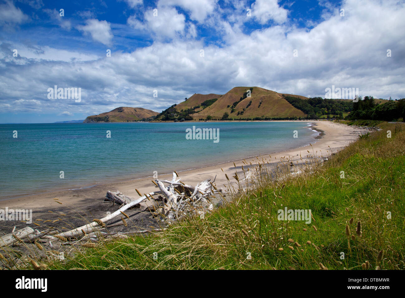 Tokomaru Bay, East Cape, Nordinsel, Neuseeland Stockfotohttps://www.alamy.de/image-license-details/?v=1https://www.alamy.de/tokomaru-bay-east-cape-nordinsel-neuseeland-image66640723.html
RMDTBMWR–Tokomaru Bay, East Cape, Nordinsel, Neuseeland
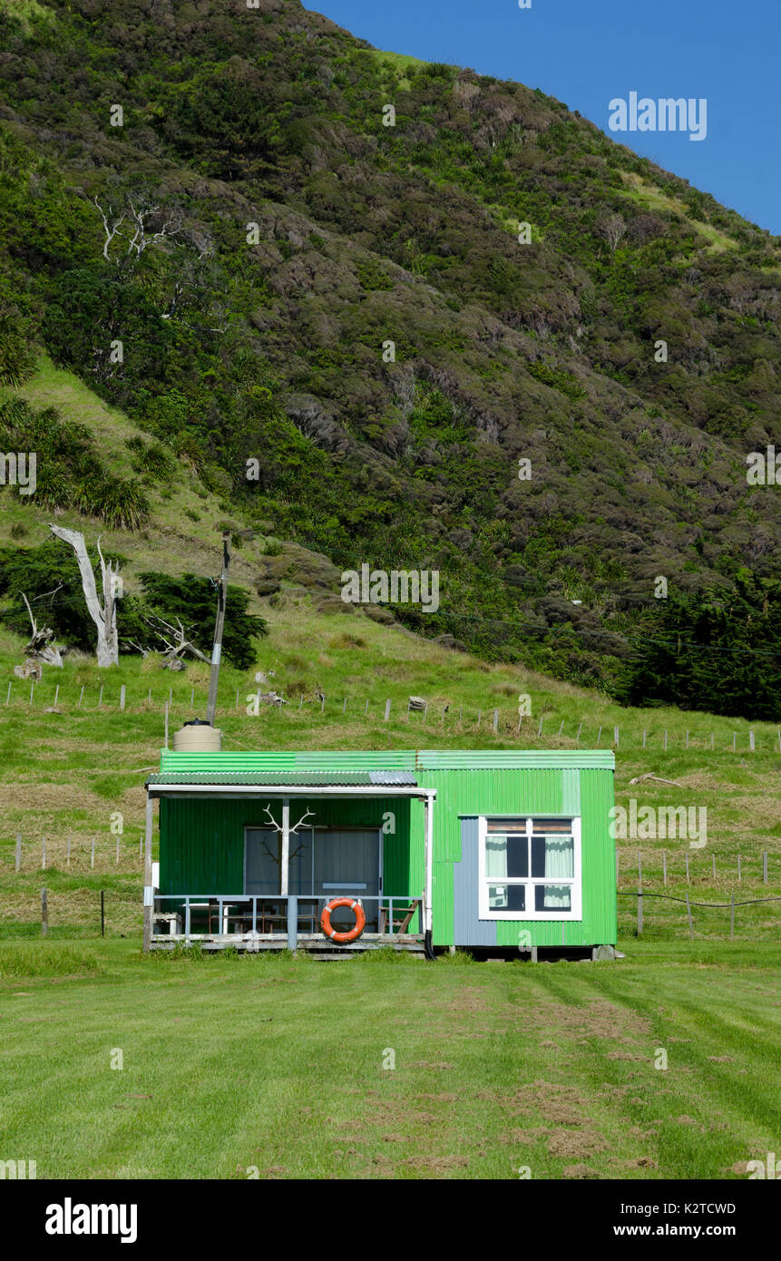 Green Holiday Home, East Cape, North Island, Neuseeland Stockfotohttps://www.alamy.de/image-license-details/?v=1https://www.alamy.de/green-holiday-home-east-cape-north-island-neuseeland-image156659593.html
RFK2TCWD–Green Holiday Home, East Cape, North Island, Neuseeland
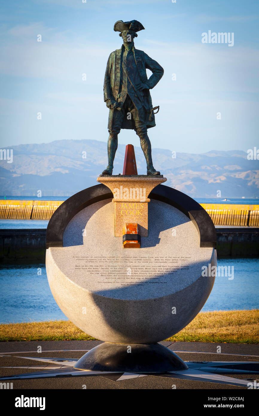 Cook Statue, Gisborne, East Cape, North Island, Neuseeland Stockfotohttps://www.alamy.de/image-license-details/?v=1https://www.alamy.de/cook-statue-gisborne-east-cape-north-island-neuseeland-image259654826.html
RMW2C8AJ–Cook Statue, Gisborne, East Cape, North Island, Neuseeland
 Main Street, Ruatoria, East Cape, Nordinsel, Neuseeland. Öffentlichen Toiletten an der Main Street. Stockfotohttps://www.alamy.de/image-license-details/?v=1https://www.alamy.de/stockfoto-main-street-ruatoria-east-cape-nordinsel-neuseeland-offentlichen-toiletten-an-der-main-street-52523748.html
RMD1CJG4–Main Street, Ruatoria, East Cape, Nordinsel, Neuseeland. Öffentlichen Toiletten an der Main Street.
 East Cape Schotterstraße, Gisborne, North Island, Neuseeland Stockfotohttps://www.alamy.de/image-license-details/?v=1https://www.alamy.de/east-cape-schotterstrasse-gisborne-north-island-neuseeland-image247873926.html
RFTB7HM6–East Cape Schotterstraße, Gisborne, North Island, Neuseeland
 Kohlbäume am Hang im Sonnenlicht, Ostkap Stockfotohttps://www.alamy.de/image-license-details/?v=1https://www.alamy.de/kohlbaume-am-hang-im-sonnenlicht-ostkap-image439616875.html
RF2GF67PK–Kohlbäume am Hang im Sonnenlicht, Ostkap
 Leuchtturm, East Cape, Gisborne, North Island, Neuseeland, Ozeanien Stockfotohttps://www.alamy.de/image-license-details/?v=1https://www.alamy.de/leuchtturm-east-cape-gisborne-north-island-neuseeland-ozeanien-image259267689.html
RMW1PJG9–Leuchtturm, East Cape, Gisborne, North Island, Neuseeland, Ozeanien
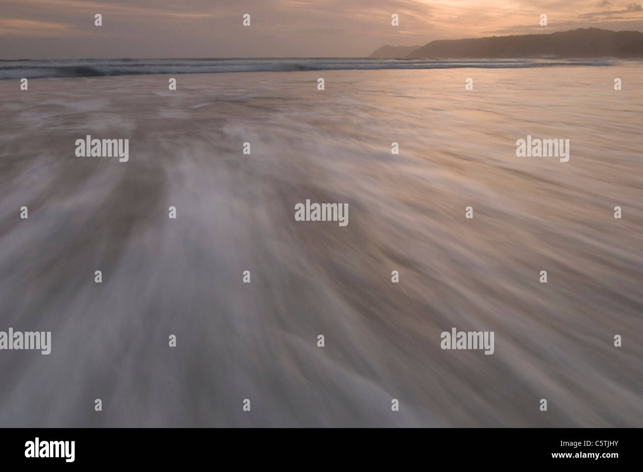 Neuseeland, East Cape, Stockfotohttps://www.alamy.de/image-license-details/?v=1https://www.alamy.de/stockfoto-neuseeland-east-cape-38035479.html
RFC5TJHY–Neuseeland, East Cape,
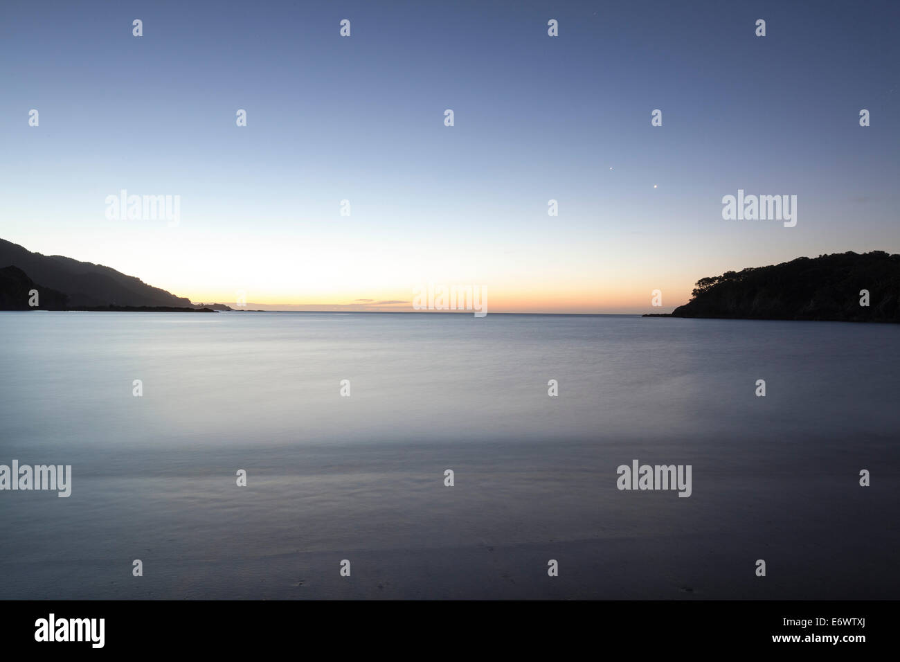 Abgelegenen Bucht in der Abenddämmerung, Ostküste an der Whanarua Bucht, East Cape, Nordinsel, Neuseeland Stockfotohttps://www.alamy.de/image-license-details/?v=1https://www.alamy.de/stockfoto-abgelegenen-bucht-in-der-abenddammerung-ostkuste-an-der-whanarua-bucht-east-cape-nordinsel-neuseeland-73097770.html
RME6WTXJ–Abgelegenen Bucht in der Abenddämmerung, Ostküste an der Whanarua Bucht, East Cape, Nordinsel, Neuseeland
 Gateway zu Otuwhare Marae, Omaio, East Cape, Neuseeland Stockfotohttps://www.alamy.de/image-license-details/?v=1https://www.alamy.de/gateway-zu-otuwhare-marae-omaio-east-cape-neuseeland-image233526611.html
RMRFX1G3–Gateway zu Otuwhare Marae, Omaio, East Cape, Neuseeland
 Arktis-Chrysantheme (Chrysanthemum Arcticum), Cape Onman, Tschuktschensee, Russlands Fernen Osten Stockfotohttps://www.alamy.de/image-license-details/?v=1https://www.alamy.de/arktis-chrysantheme-chrysanthemum-arcticum-cape-onman-tschuktschensee-russlands-fernen-osten-image388432330.html
RM2DFXHB6–Arktis-Chrysantheme (Chrysanthemum Arcticum), Cape Onman, Tschuktschensee, Russlands Fernen Osten
 South East Cape, der südlichste Punkt der Hauptinsel Tasmanien, Australien Stockfotohttps://www.alamy.de/image-license-details/?v=1https://www.alamy.de/south-east-cape-der-sudlichste-punkt-der-hauptinsel-tasmanien-australien-image566850822.html
RF2RX6806–South East Cape, der südlichste Punkt der Hauptinsel Tasmanien, Australien
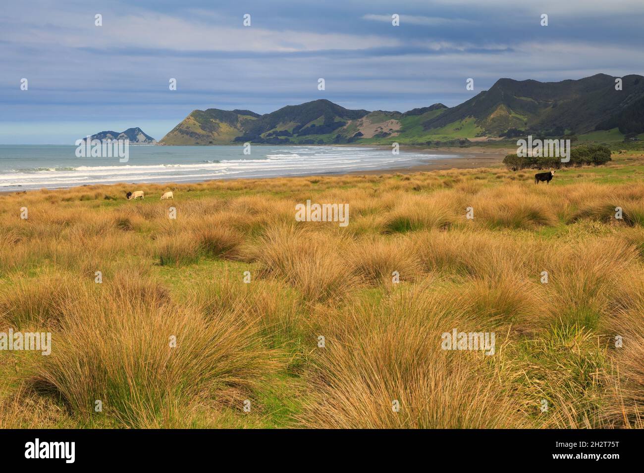 East Cape, der östlichste Punkt Neuseelands. Kühe grasen am Strand. Dahinter liegt das Kap selbst und Whangaokeno / East Island Stockfotohttps://www.alamy.de/image-license-details/?v=1https://www.alamy.de/east-cape-der-ostlichste-punkt-neuseelands-kuhe-grasen-am-strand-dahinter-liegt-das-kap-selbst-und-whangaokeno-east-island-image449231380.html
RF2H2T75T–East Cape, der östlichste Punkt Neuseelands. Kühe grasen am Strand. Dahinter liegt das Kap selbst und Whangaokeno / East Island
 Tolaga Bay Wharf, der längste Kai in Neuseeland Stockfotohttps://www.alamy.de/image-license-details/?v=1https://www.alamy.de/tolaga-bay-wharf-der-langste-kai-in-neuseeland-image352652425.html
RM2BDMKND–Tolaga Bay Wharf, der längste Kai in Neuseeland
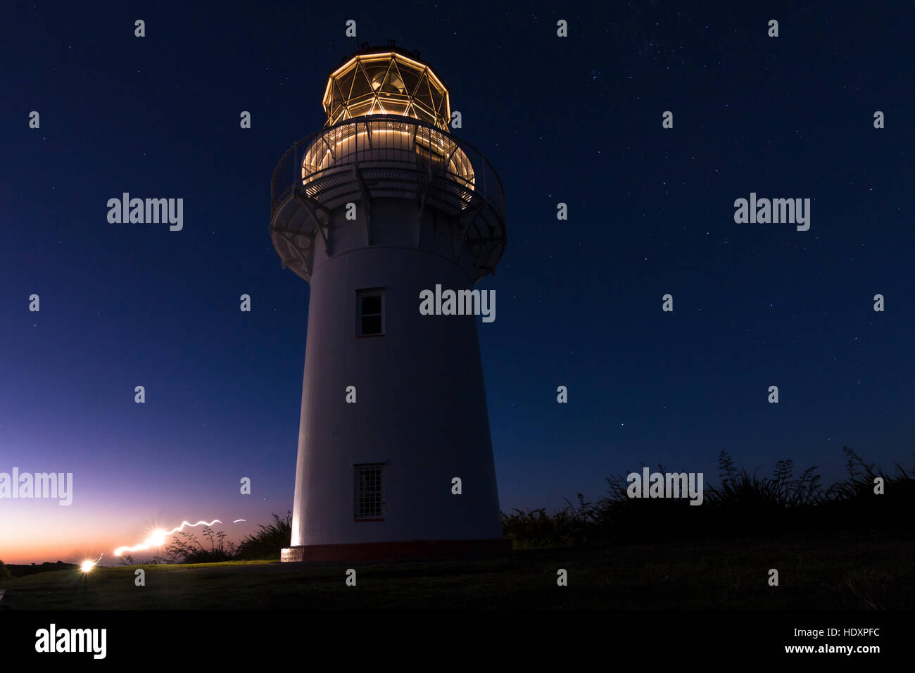 East Cape Lighthouse, Nordinsel, Neuseeland Stockfotohttps://www.alamy.de/image-license-details/?v=1https://www.alamy.de/stockfoto-east-cape-lighthouse-nordinsel-neuseeland-129051536.html
RMHDXPFC–East Cape Lighthouse, Nordinsel, Neuseeland
 Südliche Ozeanküste am Cape Northumberland vor Port MacDonnell, Südosten Südaustraliens Stockfotohttps://www.alamy.de/image-license-details/?v=1https://www.alamy.de/sudliche-ozeankuste-am-cape-northumberland-vor-port-macdonnell-sudosten-sudaustraliens-image517789048.html
RM2N2B960–Südliche Ozeanküste am Cape Northumberland vor Port MacDonnell, Südosten Südaustraliens
 Afrika, Südafrika, East Cape, Eastern Cape, Camdeboo National Park, Stockfotohttps://www.alamy.de/image-license-details/?v=1https://www.alamy.de/afrika-sudafrika-east-cape-eastern-cape-camdeboo-national-park-image157042379.html
RMK3DW4B–Afrika, Südafrika, East Cape, Eastern Cape, Camdeboo National Park,
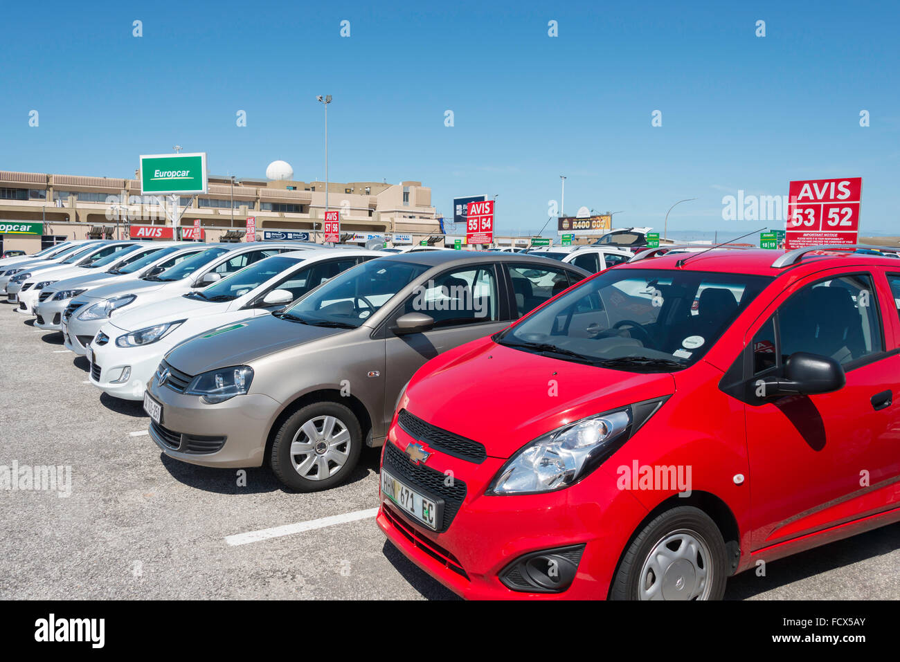 Avis Mietwagen am internationalen Flughafen Port Elizabeth, Port Elizabeth, Provinz Eastern Cape, Südafrika Stockfotohttps://www.alamy.de/image-license-details/?v=1https://www.alamy.de/stockfoto-avis-mietwagen-am-internationalen-flughafen-port-elizabeth-port-elizabeth-provinz-eastern-cape-sudafrika-94002691.html
RMFCX5AY–Avis Mietwagen am internationalen Flughafen Port Elizabeth, Port Elizabeth, Provinz Eastern Cape, Südafrika
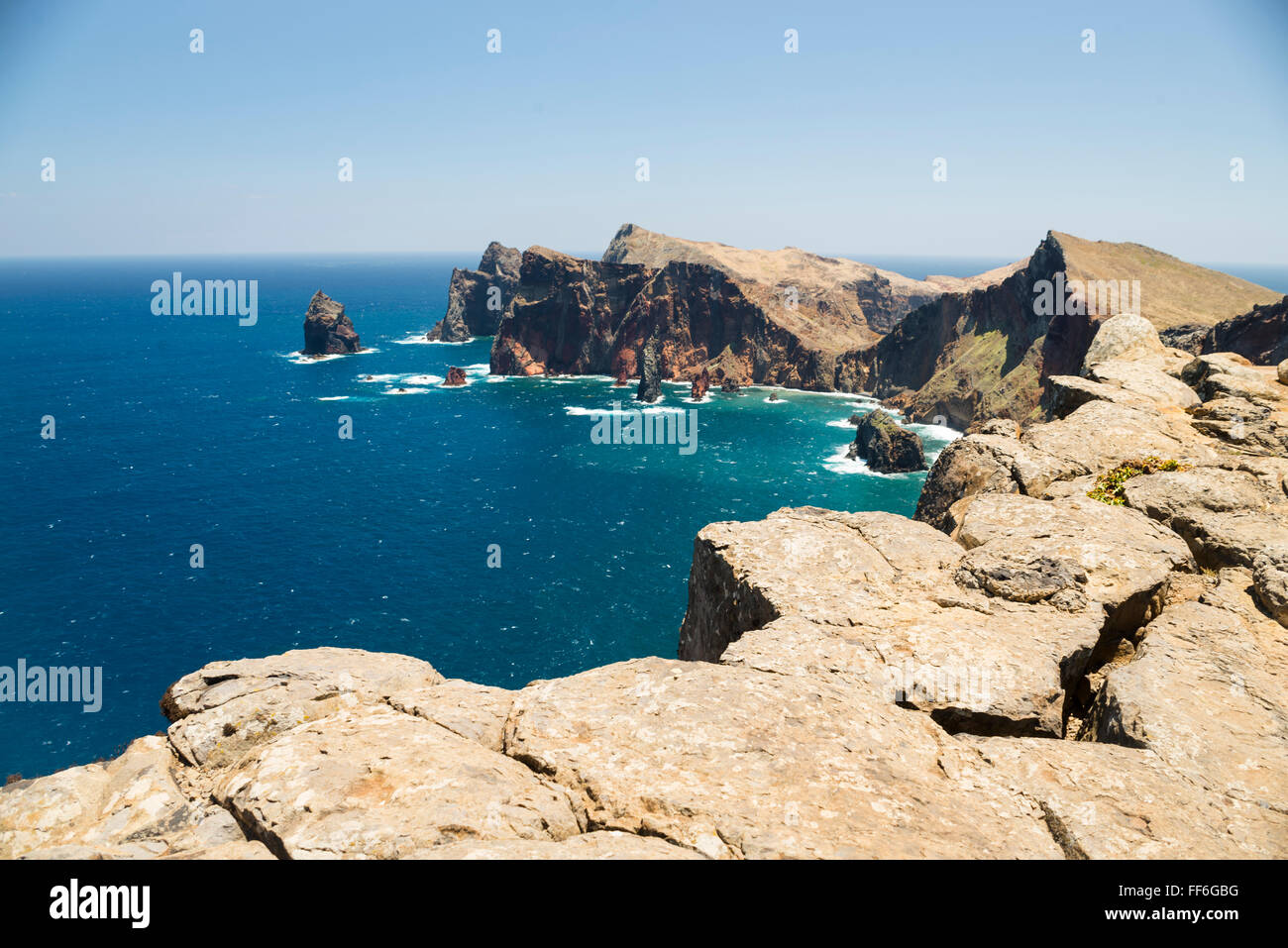 Klippen und Felswänden in den Hügeln der windgepeitschten Eastern Cape Madeira in der Nähe von Ponta de Sao Lourenco mit einem tiefblauen Meer Stockfotohttps://www.alamy.de/image-license-details/?v=1https://www.alamy.de/stockfoto-klippen-und-felswanden-in-den-hugeln-der-windgepeitschten-eastern-cape-madeira-in-der-nahe-von-ponta-de-sao-lourenco-mit-einem-tiefblauen-meer-95416260.html
RFFF6GBG–Klippen und Felswänden in den Hügeln der windgepeitschten Eastern Cape Madeira in der Nähe von Ponta de Sao Lourenco mit einem tiefblauen Meer
 Whitianga Bay, Bay of Plenty, East Cape, Nordinsel, Neuseeland Stockfotohttps://www.alamy.de/image-license-details/?v=1https://www.alamy.de/whitianga-bay-bay-of-plenty-east-cape-nordinsel-neuseeland-image66640786.html
RMDTBN02–Whitianga Bay, Bay of Plenty, East Cape, Nordinsel, Neuseeland
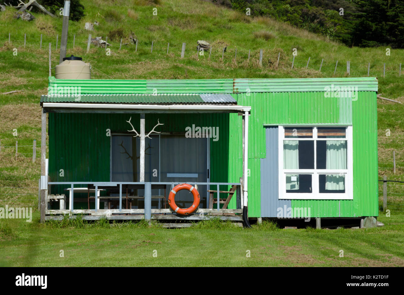 Green Holiday Home, East Cape, North Island, Neuseeland Stockfotohttps://www.alamy.de/image-license-details/?v=1https://www.alamy.de/green-holiday-home-east-cape-north-island-neuseeland-image156659707.html
RFK2TD1F–Green Holiday Home, East Cape, North Island, Neuseeland
 Erhöhte Blick über Makorori Strand, Gisborne, East Cape, North Island, Neuseeland Stockfotohttps://www.alamy.de/image-license-details/?v=1https://www.alamy.de/erhohte-blick-uber-makorori-strand-gisborne-east-cape-north-island-neuseeland-image259654827.html
RMW2C8AK–Erhöhte Blick über Makorori Strand, Gisborne, East Cape, North Island, Neuseeland
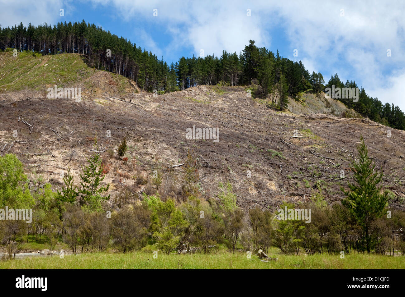 Waldbau. Hang von Bäumen geerntet. East Cape, Nordinsel, Neuseeland, vom Highway 35. Stockfotohttps://www.alamy.de/image-license-details/?v=1https://www.alamy.de/stockfoto-waldbau-hang-von-baumen-geerntet-east-cape-nordinsel-neuseeland-vom-highway-35-52523729.html
RMD1CJFD–Waldbau. Hang von Bäumen geerntet. East Cape, Nordinsel, Neuseeland, vom Highway 35.
 Christian Weiß Maori Kirche in Raukokore, East Cape, North Island, Neuseeland Stockfotohttps://www.alamy.de/image-license-details/?v=1https://www.alamy.de/christian-weiss-maori-kirche-in-raukokore-east-cape-north-island-neuseeland-image247873799.html
RFTB7HFK–Christian Weiß Maori Kirche in Raukokore, East Cape, North Island, Neuseeland
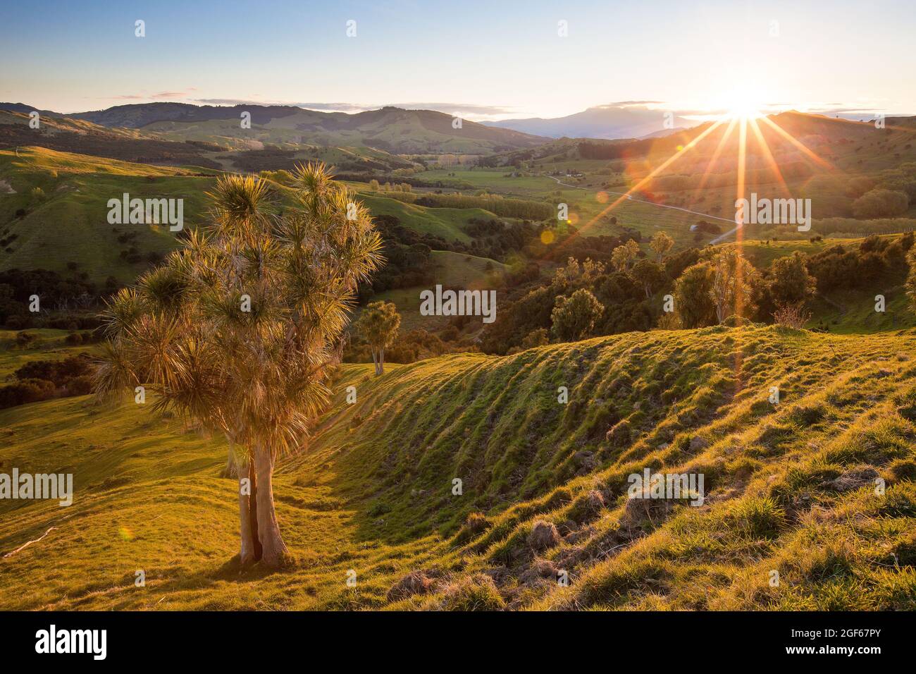 Kohlbaum am Hang, der Sonnenlicht fängt, Ruatoria, East Cape Stockfotohttps://www.alamy.de/image-license-details/?v=1https://www.alamy.de/kohlbaum-am-hang-der-sonnenlicht-fangt-ruatoria-east-cape-image439616883.html
RF2GF67PY–Kohlbaum am Hang, der Sonnenlicht fängt, Ruatoria, East Cape
 Reflexion der Küste im Wasser, East Cape, Gisborne, North Island, Neuseeland, Ozeanien Stockfotohttps://www.alamy.de/image-license-details/?v=1https://www.alamy.de/reflexion-der-kuste-im-wasser-east-cape-gisborne-north-island-neuseeland-ozeanien-image259259157.html
RMW1P7KH–Reflexion der Küste im Wasser, East Cape, Gisborne, North Island, Neuseeland, Ozeanien
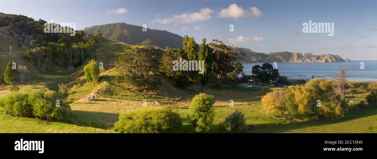 Neuseeland, East Cape Anaura Bucht, Küstenregion Stockfotohttps://www.alamy.de/image-license-details/?v=1https://www.alamy.de/neuseeland-east-cape-anaura-bucht-kustenregion-image368836524.html
RF2CC1XN0–Neuseeland, East Cape Anaura Bucht, Küstenregion
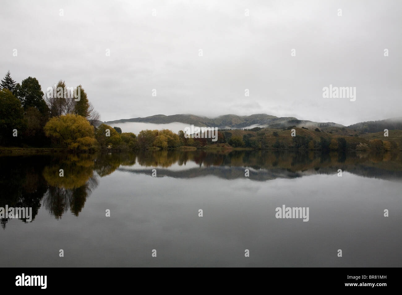 See Tutira auf der East Cape von Neuseelands Nordinsel. Stockfotohttps://www.alamy.de/image-license-details/?v=1https://www.alamy.de/stockfoto-see-tutira-auf-der-east-cape-von-neuseelands-nordinsel-31524433.html
RMBR81MH–See Tutira auf der East Cape von Neuseelands Nordinsel.
 Historische Christus Kirche, Raukokore, East Cape, Neuseeland Stockfotohttps://www.alamy.de/image-license-details/?v=1https://www.alamy.de/historische-christus-kirche-raukokore-east-cape-neuseeland-image233526708.html
RMRFX1KG–Historische Christus Kirche, Raukokore, East Cape, Neuseeland
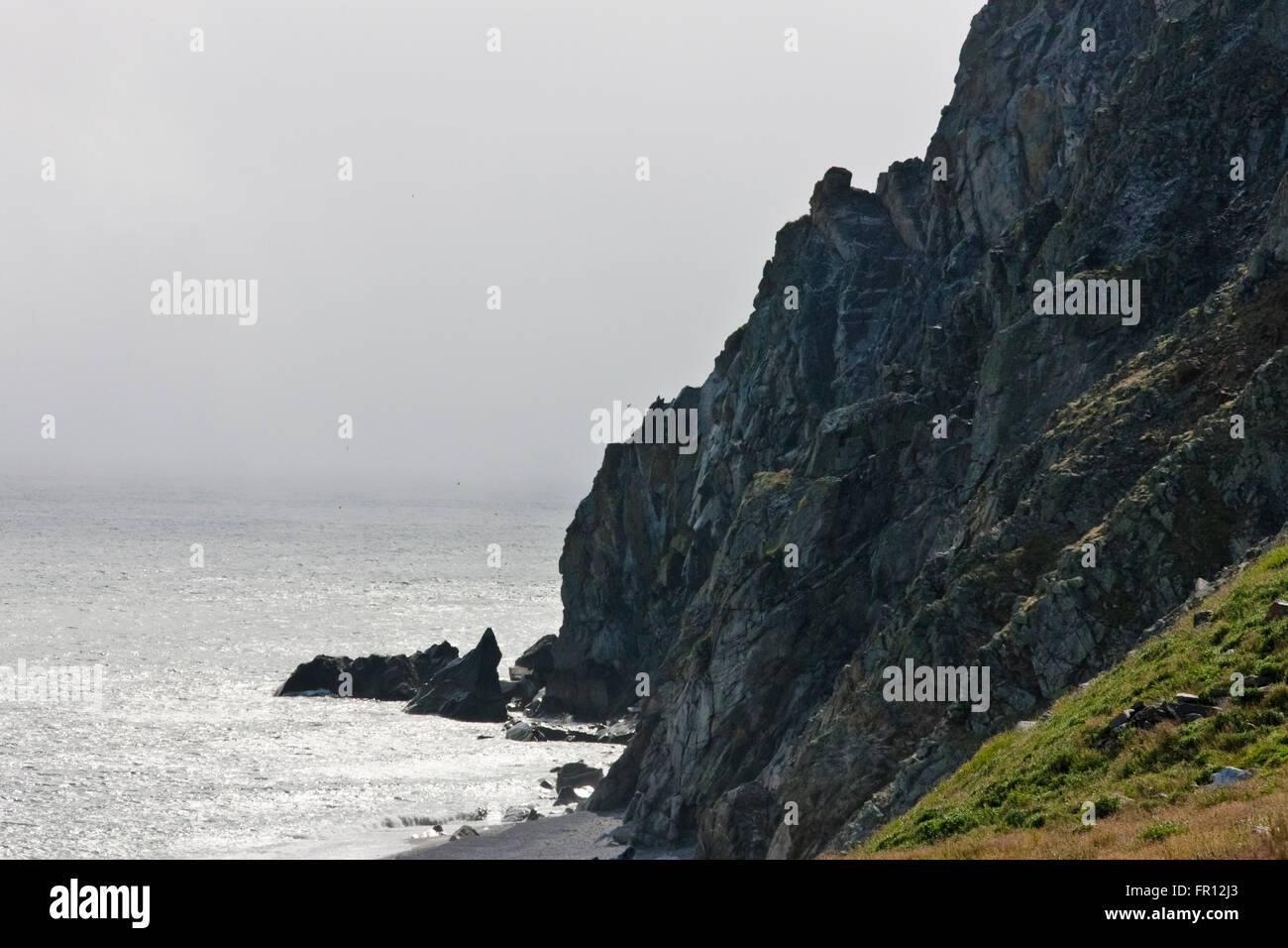 Insel, Kap Dezhnev, östlichste Ecke von Eurasia, russischen Fernen Osten Stockfotohttps://www.alamy.de/image-license-details/?v=1https://www.alamy.de/stockfoto-insel-kap-dezhnev-ostlichste-ecke-von-eurasia-russischen-fernen-osten-100212955.html
RMFR12J3–Insel, Kap Dezhnev, östlichste Ecke von Eurasia, russischen Fernen Osten
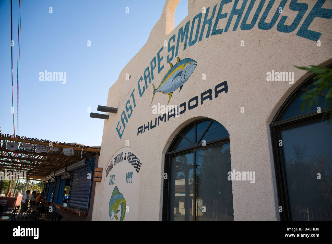 Mexiko Los Barriles außen East Cape Räucherei neben Tio Pablos restaurant Stockfotohttps://www.alamy.de/image-license-details/?v=1https://www.alamy.de/stockfoto-mexiko-los-barriles-aussen-east-cape-raucherei-neben-tio-pablos-restaurant-23678152.html
RMBAEHM8–Mexiko Los Barriles außen East Cape Räucherei neben Tio Pablos restaurant
 Warnsignal für Feuer und Notzugang, East Cape Beach, Cape Conran, Australien Stockfotohttps://www.alamy.de/image-license-details/?v=1https://www.alamy.de/warnsignal-fur-feuer-und-notzugang-east-cape-beach-cape-conran-australien-image601267799.html
RM2WX635Y–Warnsignal für Feuer und Notzugang, East Cape Beach, Cape Conran, Australien
 Tolaga Bay Wharf, der längste Kai in Neuseeland Stockfotohttps://www.alamy.de/image-license-details/?v=1https://www.alamy.de/tolaga-bay-wharf-der-langste-kai-in-neuseeland-image352652503.html
RM2BDMKT7–Tolaga Bay Wharf, der längste Kai in Neuseeland
 Leuchtturm Farol da Ponta do Topo am Ostkap der Insel Sao Jorge (Azoren, Portugal) Stockfotohttps://www.alamy.de/image-license-details/?v=1https://www.alamy.de/leuchtturm-farol-da-ponta-do-topo-am-ostkap-der-insel-sao-jorge-azoren-portugal-image630414806.html
RF2YHHTEE–Leuchtturm Farol da Ponta do Topo am Ostkap der Insel Sao Jorge (Azoren, Portugal)
 Südliche Ozeanküste am Cape Northumberland vor Port MacDonnell, Südosten Südaustraliens Stockfotohttps://www.alamy.de/image-license-details/?v=1https://www.alamy.de/sudliche-ozeankuste-am-cape-northumberland-vor-port-macdonnell-sudosten-sudaustraliens-image517788945.html
RM2N2B929–Südliche Ozeanküste am Cape Northumberland vor Port MacDonnell, Südosten Südaustraliens
 Afrika, Südafrika, East Cape, Eastern Cape, Aberdeen, Stockfotohttps://www.alamy.de/image-license-details/?v=1https://www.alamy.de/afrika-sudafrika-east-cape-eastern-cape-aberdeen-image157042377.html
RMK3DW49–Afrika, Südafrika, East Cape, Eastern Cape, Aberdeen,
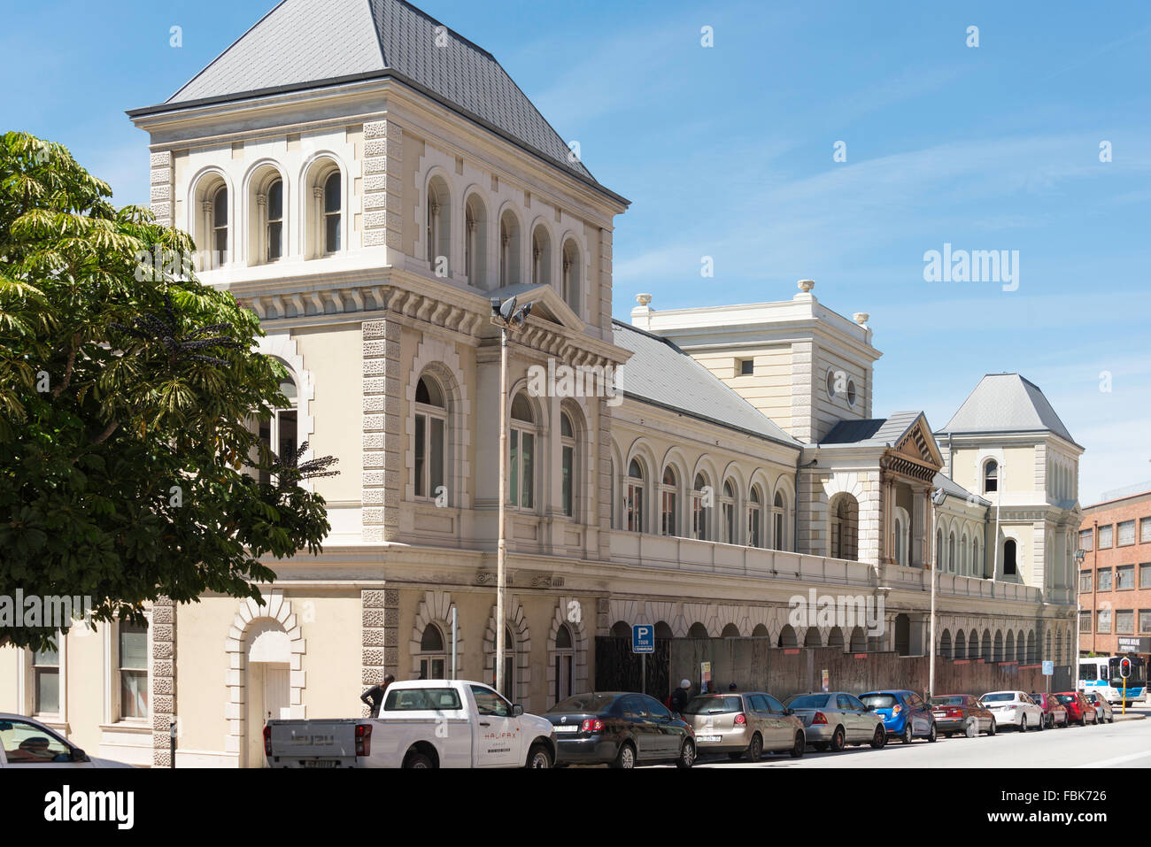 Hafen Altbau, Baalens Street, Port Elizabeth, Nelson Mandela Bay Municipality, Provinz Eastern Cape, Südafrika Stockfotohttps://www.alamy.de/image-license-details/?v=1https://www.alamy.de/stockfoto-hafen-altbau-baalens-street-port-elizabeth-nelson-mandela-bay-municipality-provinz-eastern-cape-sudafrika-93235694.html
RMFBK726–Hafen Altbau, Baalens Street, Port Elizabeth, Nelson Mandela Bay Municipality, Provinz Eastern Cape, Südafrika
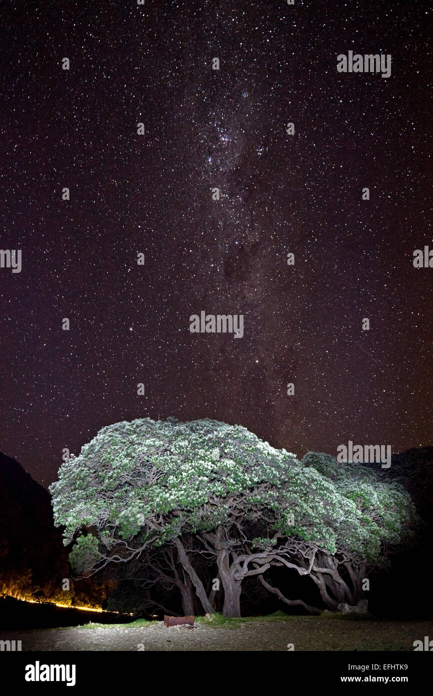 Beleuchteten Baum in der Nacht unter einem Sternenhimmel, Milchstraße, Pohutukawa Baum, East Cape, Nordinsel, Neuseeland Stockfotohttps://www.alamy.de/image-license-details/?v=1https://www.alamy.de/stockfoto-beleuchteten-baum-in-der-nacht-unter-einem-sternenhimmel-milchstrasse-pohutukawa-baum-east-cape-nordinsel-neuseeland-78453853.html
RMEFHTK9–Beleuchteten Baum in der Nacht unter einem Sternenhimmel, Milchstraße, Pohutukawa Baum, East Cape, Nordinsel, Neuseeland
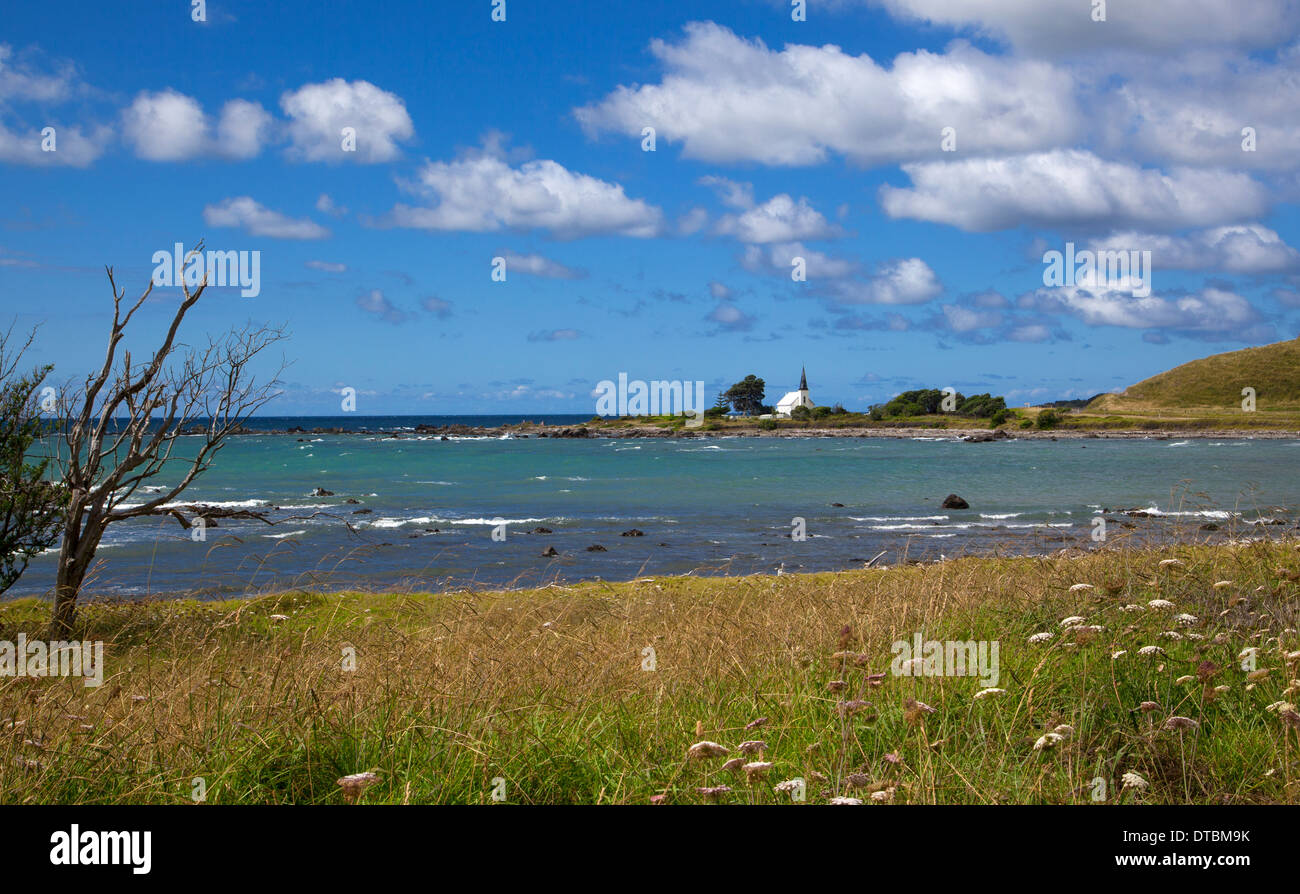 Historische Raukokore Kirche, Papatea Bay, East Cape, Nordinsel, Neuseeland Stockfotohttps://www.alamy.de/image-license-details/?v=1https://www.alamy.de/historische-raukokore-kirche-papatea-bay-east-cape-nordinsel-neuseeland-image66640271.html
RMDTBM9K–Historische Raukokore Kirche, Papatea Bay, East Cape, Nordinsel, Neuseeland
 Verlassene Land Rover im Feld, East Cape, North Island, Neuseeland Stockfotohttps://www.alamy.de/image-license-details/?v=1https://www.alamy.de/verlassene-land-rover-im-feld-east-cape-north-island-neuseeland-image156659760.html
RFK2TD3C–Verlassene Land Rover im Feld, East Cape, North Island, Neuseeland
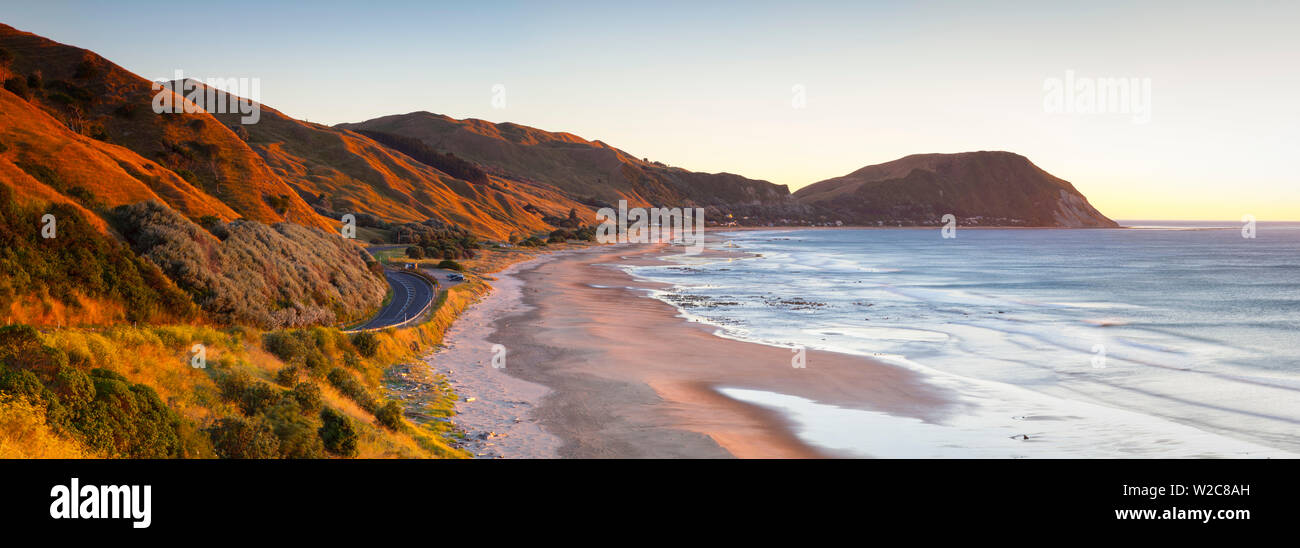 Erhöhte Blick über Makorori Strand, Gisborne, East Cape, North Island, Neuseeland Stockfotohttps://www.alamy.de/image-license-details/?v=1https://www.alamy.de/erhohte-blick-uber-makorori-strand-gisborne-east-cape-north-island-neuseeland-image259654825.html
RMW2C8AH–Erhöhte Blick über Makorori Strand, Gisborne, East Cape, North Island, Neuseeland
 Tolaga Bay Wharf, Ostküste Stockfotohttps://www.alamy.de/image-license-details/?v=1https://www.alamy.de/stockfoto-tolaga-bay-wharf-ostkuste-146559163.html
RFJEC9KR–Tolaga Bay Wharf, Ostküste
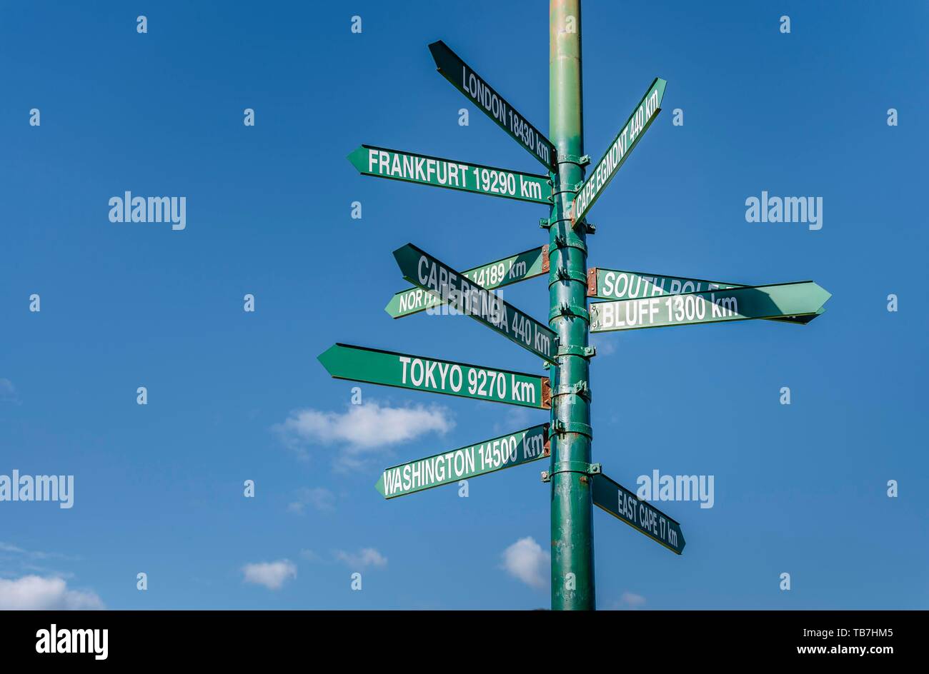 Guide mit Entfernungen und Standorten in Te Araroa, East Cape, North Island, Neuseeland Stockfotohttps://www.alamy.de/image-license-details/?v=1https://www.alamy.de/guide-mit-entfernungen-und-standorten-in-te-araroa-east-cape-north-island-neuseeland-image247873925.html
RFTB7HM5–Guide mit Entfernungen und Standorten in Te Araroa, East Cape, North Island, Neuseeland