Drohnenansicht scottish loch Stockfotos & Bilder
(2,547)drohnenansicht scottish loch-Stockvideoclips ansehenSchnellfilter:
Drohnenansicht scottish loch Stockfotos & Bilder
 Luftaufnahme von der Drohne des Ardvreck Castle auf der North Coast 500 Route in Loch Assynt, Scottish Highlands, Schottland, Großbritannien Stockfotohttps://www.alamy.de/image-license-details/?v=1https://www.alamy.de/luftaufnahme-von-der-drohne-des-ardvreck-castle-auf-der-north-coast-500-route-in-loch-assynt-scottish-highlands-schottland-grossbritannien-image555053713.html
RM2R70TJW–Luftaufnahme von der Drohne des Ardvreck Castle auf der North Coast 500 Route in Loch Assynt, Scottish Highlands, Schottland, Großbritannien
 Vogelperspektive auf den Fluss Muick und Loch Muick auf dem Balmoral Estate im Cairngorms National Park im schottischen Hochland, Stockfotohttps://www.alamy.de/image-license-details/?v=1https://www.alamy.de/vogelperspektive-auf-den-fluss-muick-und-loch-muick-auf-dem-balmoral-estate-im-cairngorms-national-park-im-schottischen-hochland-image508781717.html
RM2MFN07H–Vogelperspektive auf den Fluss Muick und Loch Muick auf dem Balmoral Estate im Cairngorms National Park im schottischen Hochland,
 Eine Drohnenansicht eines loch in Schottland Stockfotohttps://www.alamy.de/image-license-details/?v=1https://www.alamy.de/eine-drohnenansicht-eines-loch-in-schottland-image476224083.html
RF2JJNTJY–Eine Drohnenansicht eines loch in Schottland
 Blick vom Aussichtspunkt Tulla über den See Loch Tulla und den nachwaldeten Wald, schottische Highlands, Schottland, Großbritannien Stockfotohttps://www.alamy.de/image-license-details/?v=1https://www.alamy.de/blick-vom-aussichtspunkt-tulla-uber-den-see-loch-tulla-und-den-nachwaldeten-wald-schottische-highlands-schottland-grossbritannien-image555198590.html
RM2R77DD2–Blick vom Aussichtspunkt Tulla über den See Loch Tulla und den nachwaldeten Wald, schottische Highlands, Schottland, Großbritannien
 Drone schießen über Schottische Highlands entlang der Nordküste Route 500 - Blick Richtung Loch Alsh in der Nähe von dornie Nostie und bei bewölktem herbstlichen Morgen. Stockfotohttps://www.alamy.de/image-license-details/?v=1https://www.alamy.de/drone-schiessen-uber-schottische-highlands-entlang-der-nordkuste-route-500-blick-richtung-loch-alsh-in-der-nahe-von-dornie-nostie-und-bei-bewolktem-herbstlichen-morgen-image333960227.html
RF2AB95JY–Drone schießen über Schottische Highlands entlang der Nordküste Route 500 - Blick Richtung Loch Alsh in der Nähe von dornie Nostie und bei bewölktem herbstlichen Morgen.
 Luftdrohnenansicht eines schönen, ruhigen schottischen loch in der frühen Morgensonne (Loch Eil, Fort William) Stockfotohttps://www.alamy.de/image-license-details/?v=1https://www.alamy.de/luftdrohnenansicht-eines-schonen-ruhigen-schottischen-loch-in-der-fruhen-morgensonne-loch-eil-fort-william-image447521578.html
RF2H02A9E–Luftdrohnenansicht eines schönen, ruhigen schottischen loch in der frühen Morgensonne (Loch Eil, Fort William)
 Loch Eriboll, Die Highlands, Schottland. Ein Blick auf einen See im Norden der schottischen Highlands an einem typisch grauen und übergiebelten Tag. Stockfotohttps://www.alamy.de/image-license-details/?v=1https://www.alamy.de/loch-eriboll-die-highlands-schottland-ein-blick-auf-einen-see-im-norden-der-schottischen-highlands-an-einem-typisch-grauen-und-ubergiebelten-tag-image348523428.html
RF2B70H58–Loch Eriboll, Die Highlands, Schottland. Ein Blick auf einen See im Norden der schottischen Highlands an einem typisch grauen und übergiebelten Tag.
 Isle of Skye: Carbost, Loch Harport, Talisker, Satran, Drynoch View, Schottland, Großbritannien mit der Drohne, Luftaufnahme, landschaftlich reizvolle Landschaft. Càrrabost, Mingi Stockfotohttps://www.alamy.de/image-license-details/?v=1https://www.alamy.de/isle-of-skye-carbost-loch-harport-talisker-satran-drynoch-view-schottland-grossbritannien-mit-der-drohne-luftaufnahme-landschaftlich-reizvolle-landschaft-crrabost-mingi-image552619355.html
RF2R31YHF–Isle of Skye: Carbost, Loch Harport, Talisker, Satran, Drynoch View, Schottland, Großbritannien mit der Drohne, Luftaufnahme, landschaftlich reizvolle Landschaft. Càrrabost, Mingi
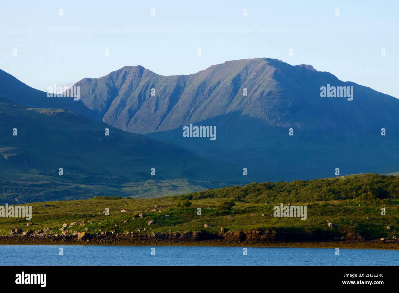 Dramatische Aussicht auf ein schottisches loch in den Highlands mit Bergen Stockfotohttps://www.alamy.de/image-license-details/?v=1https://www.alamy.de/dramatische-aussicht-auf-ein-schottisches-loch-in-den-highlands-mit-bergen-image449623082.html
RF2H3E2R6–Dramatische Aussicht auf ein schottisches loch in den Highlands mit Bergen
 Aus der Vogelperspektive auf Loch Lomond über dem Wasser, schottische Landschaft. Der Loch Lomond und der Trossachs-Nationalpark Stockfotohttps://www.alamy.de/image-license-details/?v=1https://www.alamy.de/aus-der-vogelperspektive-auf-loch-lomond-uber-dem-wasser-schottische-landschaft-der-loch-lomond-und-der-trossachs-nationalpark-image622898479.html
RF2Y5BDA7–Aus der Vogelperspektive auf Loch Lomond über dem Wasser, schottische Landschaft. Der Loch Lomond und der Trossachs-Nationalpark
 Loch Tulla und Beinn Dorain von einer Drohne, Glen Coe, Highlands, Schottland, Großbritannien Stockfotohttps://www.alamy.de/image-license-details/?v=1https://www.alamy.de/loch-tulla-und-beinn-dorain-von-einer-drohne-glen-coe-highlands-schottland-grossbritannien-image560003323.html
RF2RF29XK–Loch Tulla und Beinn Dorain von einer Drohne, Glen Coe, Highlands, Schottland, Großbritannien
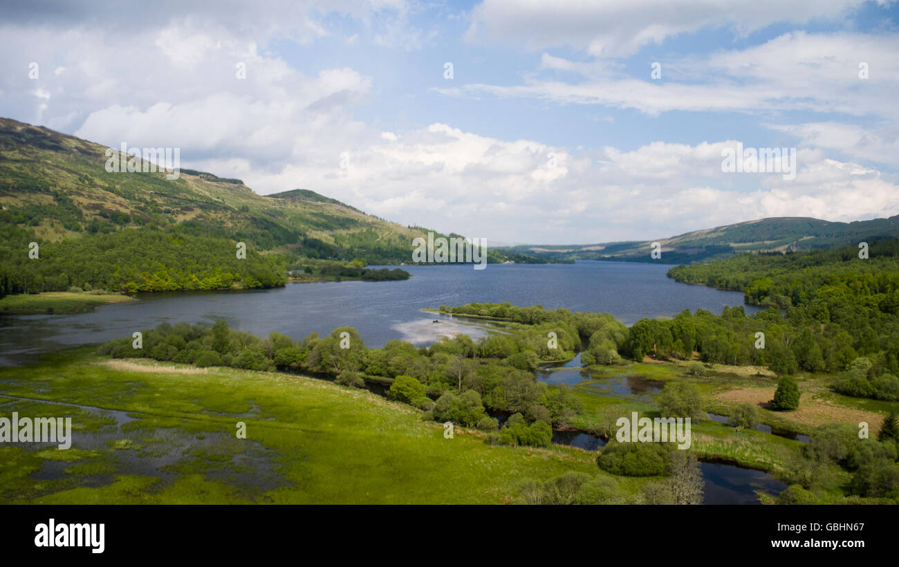 Luftbild-Drohne Foto des Loch Venachar Trossachs National Park Stockfotohttps://www.alamy.de/image-license-details/?v=1https://www.alamy.de/stockfoto-luftbild-drohne-foto-des-loch-venachar-trossachs-national-park-110413247.html
RMGBHN67–Luftbild-Drohne Foto des Loch Venachar Trossachs National Park
 Drumsyniebeg Farm, Loch Lomond und Trossachs National Park, Argyll and Bute, Schottland. Stockfotohttps://www.alamy.de/image-license-details/?v=1https://www.alamy.de/drumsyniebeg-farm-loch-lomond-und-trossachs-national-park-argyll-and-bute-schottland-image547772357.html
RM2PR556D–Drumsyniebeg Farm, Loch Lomond und Trossachs National Park, Argyll and Bute, Schottland.
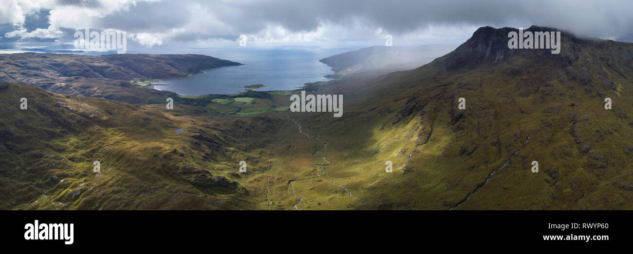 Eine Antenne panorama Blick nach unten Gleann a Chaiginn Mhoir in Richtung Loch Buie zeigt Ben Buie und einem umfangreichen Blick entlang der Westküste. Stockfotohttps://www.alamy.de/image-license-details/?v=1https://www.alamy.de/eine-antenne-panorama-blick-nach-unten-gleann-a-chaiginn-mhoir-in-richtung-loch-buie-zeigt-ben-buie-und-einem-umfangreichen-blick-entlang-der-westkuste-image239711304.html
RFRWYP60–Eine Antenne panorama Blick nach unten Gleann a Chaiginn Mhoir in Richtung Loch Buie zeigt Ben Buie und einem umfangreichen Blick entlang der Westküste.
 Draufsicht auf Castle Coeffin, Isle of Lismore, Argyll, Schottland. Blick nach Nordosten auf Loch Linnhe in Richtung Lochaber mit Ben Nevis sichtbar Stockfotohttps://www.alamy.de/image-license-details/?v=1https://www.alamy.de/draufsicht-auf-castle-coeffin-isle-of-lismore-argyll-schottland-blick-nach-nordosten-auf-loch-linnhe-in-richtung-lochaber-mit-ben-nevis-sichtbar-image503387330.html
RM2M6Y7JX–Draufsicht auf Castle Coeffin, Isle of Lismore, Argyll, Schottland. Blick nach Nordosten auf Loch Linnhe in Richtung Lochaber mit Ben Nevis sichtbar
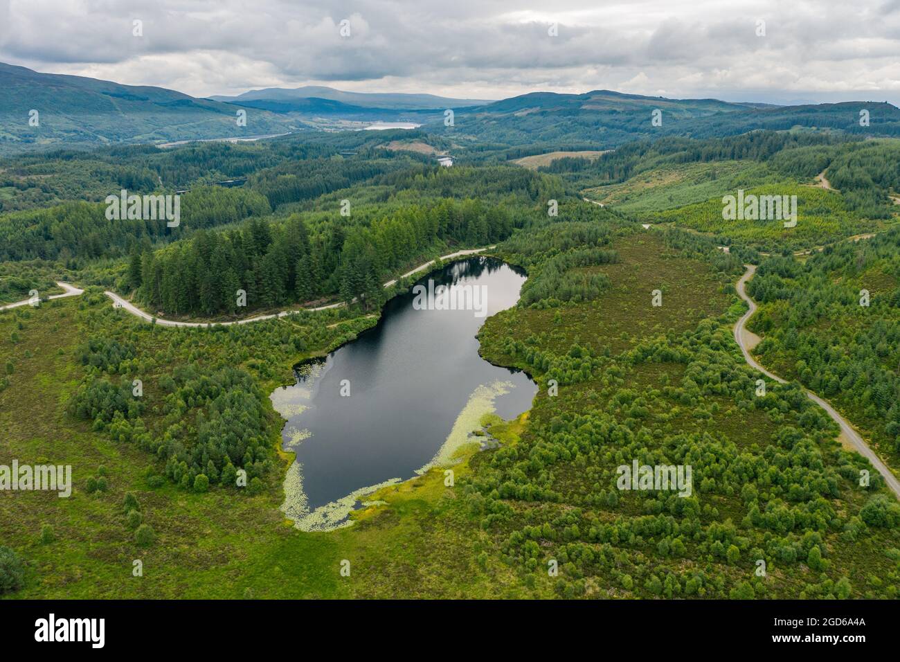 Three Loch Forest Drive, Stirling Scotland. VEREINIGTES KÖNIGREICH. Der 7 Mile Long Forest Stockfotohttps://www.alamy.de/image-license-details/?v=1https://www.alamy.de/three-loch-forest-drive-stirling-scotland-vereinigtes-konigreich-der-7-mile-long-forest-image438389402.html
RF2GD6A4A–Three Loch Forest Drive, Stirling Scotland. VEREINIGTES KÖNIGREICH. Der 7 Mile Long Forest
 Luftaufnahme des Loch Trool, Glen Trool, Galloway Hills, Dumfries and Galloway, Schottland Stockfotohttps://www.alamy.de/image-license-details/?v=1https://www.alamy.de/luftaufnahme-des-loch-trool-glen-trool-galloway-hills-dumfries-and-galloway-schottland-image258723647.html
RMW0WTJ7–Luftaufnahme des Loch Trool, Glen Trool, Galloway Hills, Dumfries and Galloway, Schottland
 Eine Luftaufnahme des Flusses Carron und Loch Carron in den schottischen Highlands bei Strathcarron Stockfotohttps://www.alamy.de/image-license-details/?v=1https://www.alamy.de/eine-luftaufnahme-des-flusses-carron-und-loch-carron-in-den-schottischen-highlands-bei-strathcarron-image477782177.html
RF2JN8T15–Eine Luftaufnahme des Flusses Carron und Loch Carron in den schottischen Highlands bei Strathcarron
 Panorama Drone Blick über Loch Farlary, Highlands, Schottland, UK. Blick in Richtung Dunrobin Glen, Cnoc na Gamhna, The Mound & Beyond im Schnee. Stockfotohttps://www.alamy.de/image-license-details/?v=1https://www.alamy.de/panorama-drone-blick-uber-loch-farlary-highlands-schottland-uk-blick-in-richtung-dunrobin-glen-cnoc-na-gamhna-the-mound-beyond-im-schnee-image400081866.html
RM2E6W8E2–Panorama Drone Blick über Loch Farlary, Highlands, Schottland, UK. Blick in Richtung Dunrobin Glen, Cnoc na Gamhna, The Mound & Beyond im Schnee.
 Luftaufnahme von der Drohne des Ardvreck Castle auf der North Coast 500 Route in Loch Assynt, Scottish Highlands, Schottland, Großbritannien Stockfotohttps://www.alamy.de/image-license-details/?v=1https://www.alamy.de/luftaufnahme-von-der-drohne-des-ardvreck-castle-auf-der-north-coast-500-route-in-loch-assynt-scottish-highlands-schottland-grossbritannien-image555053724.html
RM2R70TK8–Luftaufnahme von der Drohne des Ardvreck Castle auf der North Coast 500 Route in Loch Assynt, Scottish Highlands, Schottland, Großbritannien
 Aus der Vogelperspektive von Loch Tummel mit Blick nach Westen über das Loch in den schottischen Highlands von Schottland Großbritannien Stockfotohttps://www.alamy.de/image-license-details/?v=1https://www.alamy.de/aus-der-vogelperspektive-von-loch-tummel-mit-blick-nach-westen-uber-das-loch-in-den-schottischen-highlands-von-schottland-grossbritannien-image598764669.html
RF2WP42CD–Aus der Vogelperspektive von Loch Tummel mit Blick nach Westen über das Loch in den schottischen Highlands von Schottland Großbritannien
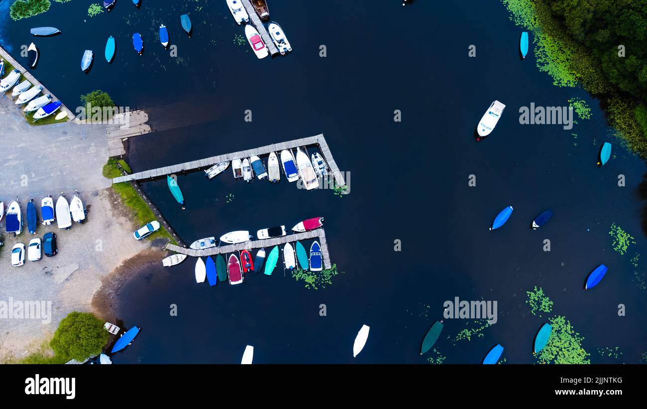 Eine Drohnenansicht von Booten im Wasser in Loch Lomond, Schottland Stockfotohttps://www.alamy.de/image-license-details/?v=1https://www.alamy.de/eine-drohnenansicht-von-booten-im-wasser-in-loch-lomond-schottland-image476224100.html
RF2JJNTKG–Eine Drohnenansicht von Booten im Wasser in Loch Lomond, Schottland
 Wolken spiegeln sich im See Loch Garry, schottische Highlands, Luftaufnahme, Schottland, Großbritannien Stockfotohttps://www.alamy.de/image-license-details/?v=1https://www.alamy.de/wolken-spiegeln-sich-im-see-loch-garry-schottische-highlands-luftaufnahme-schottland-grossbritannien-image555198496.html
RM2R77D9M–Wolken spiegeln sich im See Loch Garry, schottische Highlands, Luftaufnahme, Schottland, Großbritannien
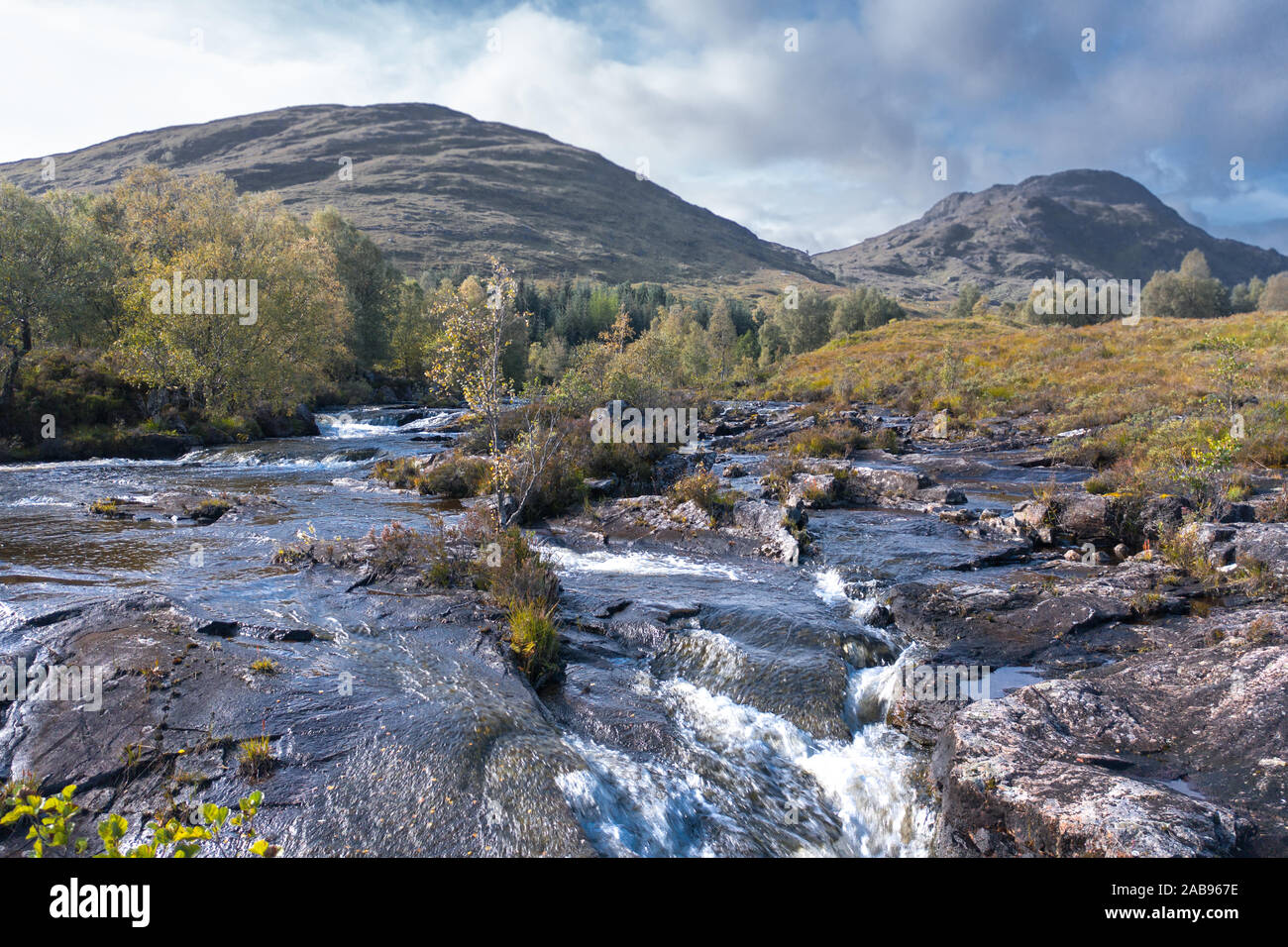 Niedriger Höhe drone Schießen über Kaskaden von Fluss Moriston am sonnigen, herbstlichen Morgen in der Nähe von Loch Cluanie in der nordwestlichen Highlands von Schottland Stockfotohttps://www.alamy.de/image-license-details/?v=1https://www.alamy.de/niedriger-hohe-drone-schiessen-uber-kaskaden-von-fluss-moriston-am-sonnigen-herbstlichen-morgen-in-der-nahe-von-loch-cluanie-in-der-nordwestlichen-highlands-von-schottland-image333960690.html
RF2AB967E–Niedriger Höhe drone Schießen über Kaskaden von Fluss Moriston am sonnigen, herbstlichen Morgen in der Nähe von Loch Cluanie in der nordwestlichen Highlands von Schottland
 Blick von der Drohne auf Balmaha und Conic Hill am Ufer des Loch Lomond (schottisches Hochland) Stockfotohttps://www.alamy.de/image-license-details/?v=1https://www.alamy.de/blick-von-der-drohne-auf-balmaha-und-conic-hill-am-ufer-des-loch-lomond-schottisches-hochland-image549347780.html
RF2PWMXKG–Blick von der Drohne auf Balmaha und Conic Hill am Ufer des Loch Lomond (schottisches Hochland)
 Loch Torridon, Schottische Highlands. Ein Luftbild über das Meeresloch im Nordwesten Schottlands mit der Sonne, die durch die Wolken bricht. Stockfotohttps://www.alamy.de/image-license-details/?v=1https://www.alamy.de/loch-torridon-schottische-highlands-ein-luftbild-uber-das-meeresloch-im-nordwesten-schottlands-mit-der-sonne-die-durch-die-wolken-bricht-image348904495.html
RF2B7HY6R–Loch Torridon, Schottische Highlands. Ein Luftbild über das Meeresloch im Nordwesten Schottlands mit der Sonne, die durch die Wolken bricht.
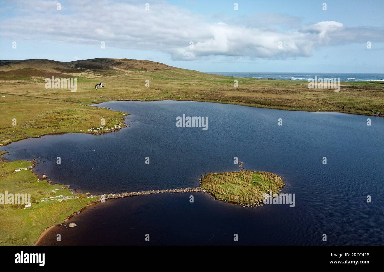 Eilean Domhnuill Island in Loch Olabhat, N. Uist, Schottland. 5000 Jahre prähistorische jungsteinzeitliche frühe Crannog-Wohnstätte mit Damm. Blick auf NW Stockfotohttps://www.alamy.de/image-license-details/?v=1https://www.alamy.de/eilean-domhnuill-island-in-loch-olabhat-n-uist-schottland-5000-jahre-prahistorische-jungsteinzeitliche-fruhe-crannog-wohnstatte-mit-damm-blick-auf-nw-image558374275.html
RM2RCC42B–Eilean Domhnuill Island in Loch Olabhat, N. Uist, Schottland. 5000 Jahre prähistorische jungsteinzeitliche frühe Crannog-Wohnstätte mit Damm. Blick auf NW
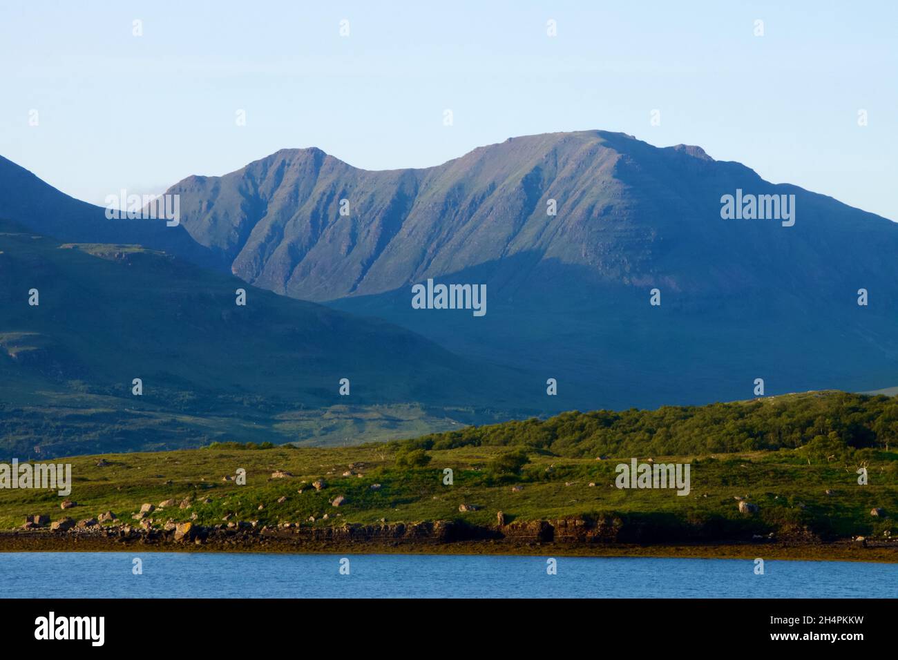 Dramatische Aussicht auf ein schottisches loch in den Highlands mit Bergen Stockfotohttps://www.alamy.de/image-license-details/?v=1https://www.alamy.de/dramatische-aussicht-auf-ein-schottisches-loch-in-den-highlands-mit-bergen-image450426589.html
RF2H4PKKW–Dramatische Aussicht auf ein schottisches loch in den Highlands mit Bergen
 Aus der Vogelperspektive auf Loch Lomond über dem Wasser, schottische Landschaft. Der Loch Lomond und der Trossachs-Nationalpark Stockfotohttps://www.alamy.de/image-license-details/?v=1https://www.alamy.de/aus-der-vogelperspektive-auf-loch-lomond-uber-dem-wasser-schottische-landschaft-der-loch-lomond-und-der-trossachs-nationalpark-image622898642.html
RF2Y5BDG2–Aus der Vogelperspektive auf Loch Lomond über dem Wasser, schottische Landschaft. Der Loch Lomond und der Trossachs-Nationalpark
 Loch Tulla und Beinn Dorain von einer Drohne, Glen Coe, Highlands, Schottland, Großbritannien Stockfotohttps://www.alamy.de/image-license-details/?v=1https://www.alamy.de/loch-tulla-und-beinn-dorain-von-einer-drohne-glen-coe-highlands-schottland-grossbritannien-image560003321.html
RF2RF29XH–Loch Tulla und Beinn Dorain von einer Drohne, Glen Coe, Highlands, Schottland, Großbritannien
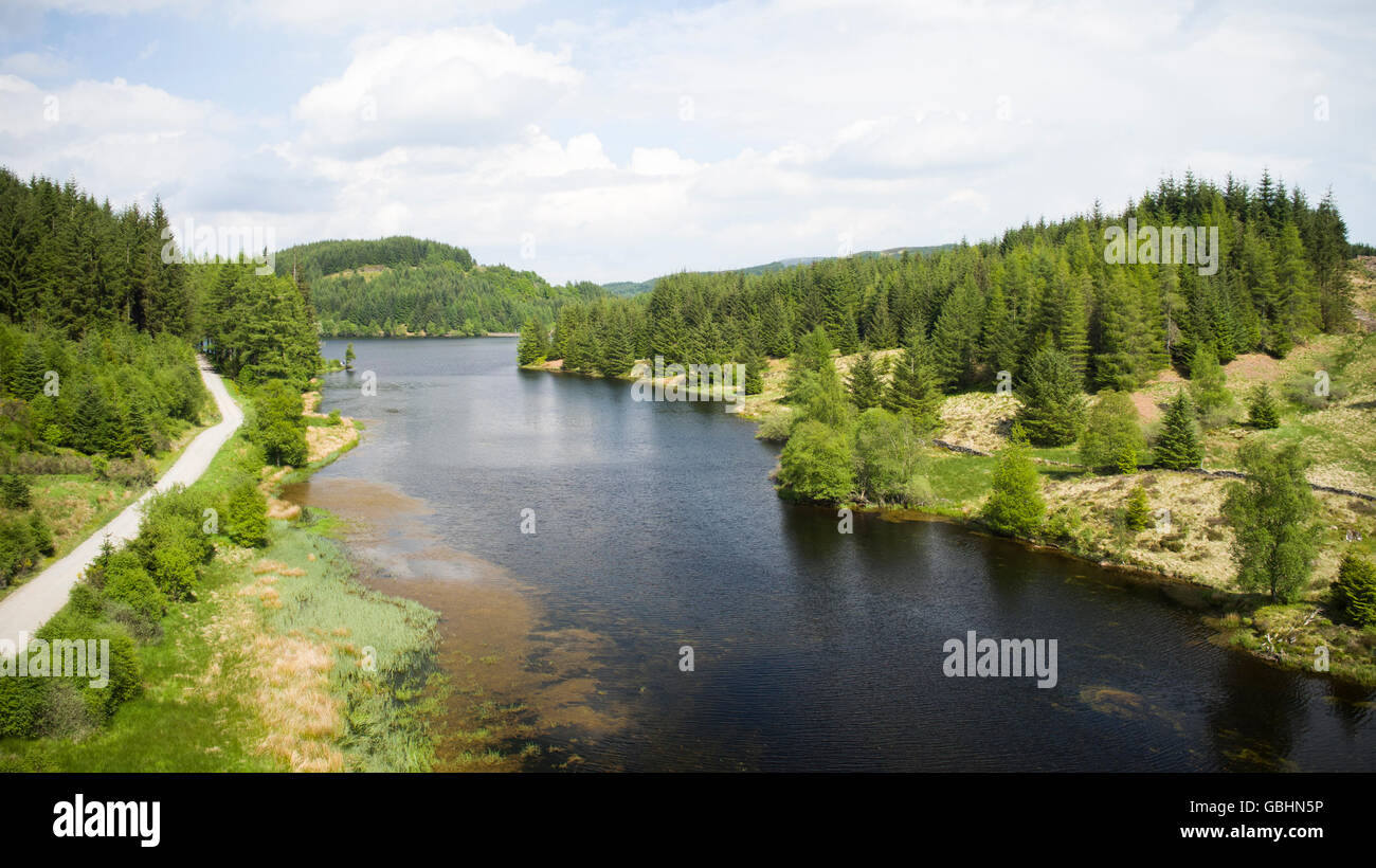 Luftbild-Drohne Foto von Loch Drunkie Trossachs Stockfotohttps://www.alamy.de/image-license-details/?v=1https://www.alamy.de/stockfoto-luftbild-drohne-foto-von-loch-drunkie-trossachs-110413234.html
RMGBHN5P–Luftbild-Drohne Foto von Loch Drunkie Trossachs
 Drumsyniebeg Farm, Loch Lomond und Trossachs National Park, Argyll and Bute, Schottland. Stockfotohttps://www.alamy.de/image-license-details/?v=1https://www.alamy.de/drumsyniebeg-farm-loch-lomond-und-trossachs-national-park-argyll-and-bute-schottland-image547772352.html
RM2PR5568–Drumsyniebeg Farm, Loch Lomond und Trossachs National Park, Argyll and Bute, Schottland.
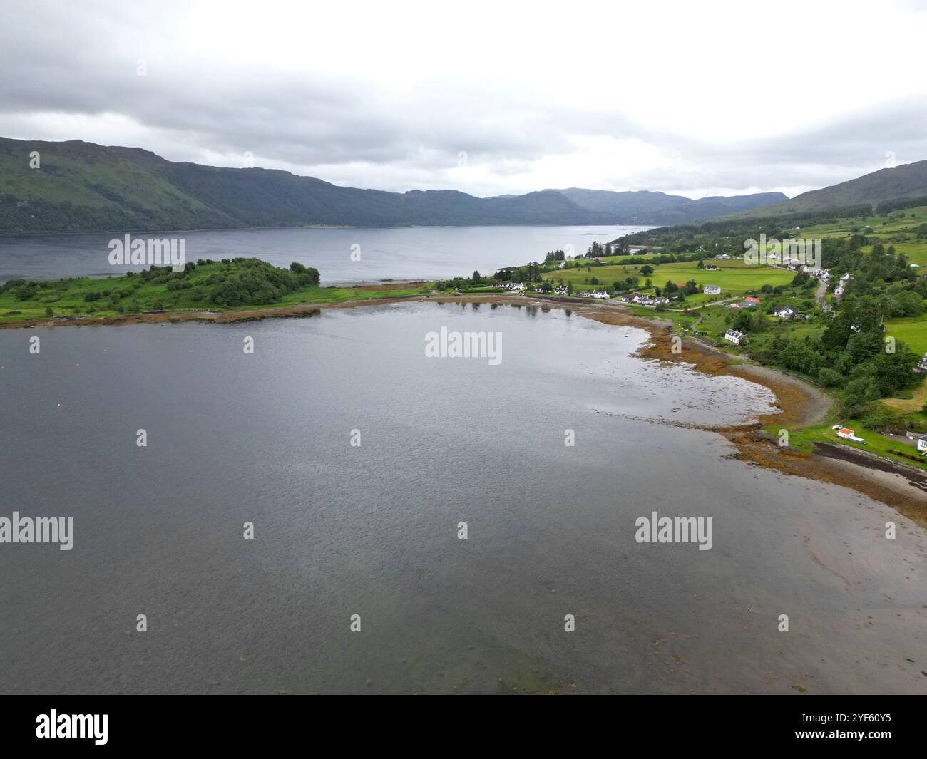 Drohnenansicht des schottischen Highland-Dorfes Lochcarron, neben dem Loch, Wester Ross, Schottland, Juni 2024 Stockfotohttps://www.alamy.de/image-license-details/?v=1https://www.alamy.de/drohnenansicht-des-schottischen-highland-dorfes-lochcarron-neben-dem-loch-wester-ross-schottland-juni-2024-image628925561.html
RF2YF60Y5–Drohnenansicht des schottischen Highland-Dorfes Lochcarron, neben dem Loch, Wester Ross, Schottland, Juni 2024
 Blick auf Loch Linnhe in Richtung Glencoe, Pap of Glencoe, Ben Nevis und Fort William, Highlands, Schottland. Stockfotohttps://www.alamy.de/image-license-details/?v=1https://www.alamy.de/blick-auf-loch-linnhe-in-richtung-glencoe-pap-of-glencoe-ben-nevis-und-fort-william-highlands-schottland-image504018266.html
RF2M800CA–Blick auf Loch Linnhe in Richtung Glencoe, Pap of Glencoe, Ben Nevis und Fort William, Highlands, Schottland.
 Three Loch Forest Drive, Stirling Scotland. VEREINIGTES KÖNIGREICH. Der 7 Mile Long Forest Stockfotohttps://www.alamy.de/image-license-details/?v=1https://www.alamy.de/three-loch-forest-drive-stirling-scotland-vereinigtes-konigreich-der-7-mile-long-forest-image438389237.html
RF2GD69XD–Three Loch Forest Drive, Stirling Scotland. VEREINIGTES KÖNIGREICH. Der 7 Mile Long Forest
 Loch in Eilein Castle, Loch mit Insel mit Burgruinen, Drohnenschuss, Rothiemurchus, Cairngorms National Park, Schottland, Großbritannien Stockfotohttps://www.alamy.de/image-license-details/?v=1https://www.alamy.de/loch-in-eilein-castle-loch-mit-insel-mit-burgruinen-drohnenschuss-rothiemurchus-cairngorms-national-park-schottland-grossbritannien-image620427945.html
RF2Y1AX4W–Loch in Eilein Castle, Loch mit Insel mit Burgruinen, Drohnenschuss, Rothiemurchus, Cairngorms National Park, Schottland, Großbritannien
 Glencoe – Blick aus der Vogelperspektive auf die schottischen Highlands. Zerklüftete Winterlandschaften in den Bergen in der Nähe von Loch Ness und Fort William. Stockfotohttps://www.alamy.de/image-license-details/?v=1https://www.alamy.de/glencoe-blick-aus-der-vogelperspektive-auf-die-schottischen-highlands-zerkluftete-winterlandschaften-in-den-bergen-in-der-nahe-von-loch-ness-und-fort-william-image502652301.html
RF2M5NP3W–Glencoe – Blick aus der Vogelperspektive auf die schottischen Highlands. Zerklüftete Winterlandschaften in den Bergen in der Nähe von Loch Ness und Fort William.
 Loch Trool, Glen Trool, Dumfries and Galloway, Schottland Stockfotohttps://www.alamy.de/image-license-details/?v=1https://www.alamy.de/loch-trool-glen-trool-dumfries-and-galloway-schottland-image258724879.html
RMW0WX67–Loch Trool, Glen Trool, Dumfries and Galloway, Schottland
 Luftaufnahme von der Drohne des Ardvreck Castle auf der North Coast 500 Route in Loch Assynt, Scottish Highlands, Schottland, Großbritannien Stockfotohttps://www.alamy.de/image-license-details/?v=1https://www.alamy.de/luftaufnahme-von-der-drohne-des-ardvreck-castle-auf-der-north-coast-500-route-in-loch-assynt-scottish-highlands-schottland-grossbritannien-image555053717.html
RF2R70TK1–Luftaufnahme von der Drohne des Ardvreck Castle auf der North Coast 500 Route in Loch Assynt, Scottish Highlands, Schottland, Großbritannien
 Aus der Vogelperspektive von Loch Tummel mit Blick nach Osten über das Loch in den schottischen Highlands von Schottland Großbritannien Stockfotohttps://www.alamy.de/image-license-details/?v=1https://www.alamy.de/aus-der-vogelperspektive-von-loch-tummel-mit-blick-nach-osten-uber-das-loch-in-den-schottischen-highlands-von-schottland-grossbritannien-image598764742.html
RF2WP42F2–Aus der Vogelperspektive von Loch Tummel mit Blick nach Osten über das Loch in den schottischen Highlands von Schottland Großbritannien
 Nachschlagen von Loch Lomond aus dem Süden mit Ben Lomond auf der rechten Seite, westlichen Schottland Stockfotohttps://www.alamy.de/image-license-details/?v=1https://www.alamy.de/stockfoto-nachschlagen-von-loch-lomond-aus-dem-suden-mit-ben-lomond-auf-der-rechten-seite-westlichen-schottland-24561052.html
RFBBXRTC–Nachschlagen von Loch Lomond aus dem Süden mit Ben Lomond auf der rechten Seite, westlichen Schottland
 Blick vom Aussichtspunkt Tulla über Tal und Bergkette, schottische Highlands, Schottland, Großbritannien Stockfotohttps://www.alamy.de/image-license-details/?v=1https://www.alamy.de/blick-vom-aussichtspunkt-tulla-uber-tal-und-bergkette-schottische-highlands-schottland-grossbritannien-image555198566.html
RM2R77DC6–Blick vom Aussichtspunkt Tulla über Tal und Bergkette, schottische Highlands, Schottland, Großbritannien
 Niedriger Höhe drone Schießen über Loch Na Thull am hellen autrumnal Abend in der North West Highlands von Schottland-NC500 Stockfotohttps://www.alamy.de/image-license-details/?v=1https://www.alamy.de/niedriger-hohe-drone-schiessen-uber-loch-na-thull-am-hellen-autrumnal-abend-in-der-north-west-highlands-von-schottland-nc500-image333960972.html
RF2AB96HG–Niedriger Höhe drone Schießen über Loch Na Thull am hellen autrumnal Abend in der North West Highlands von Schottland-NC500
 Luftaufnahme eines ruhigen schottischen loch in der frühen Morgensonne (Loch Eil, Fort William) Stockfotohttps://www.alamy.de/image-license-details/?v=1https://www.alamy.de/luftaufnahme-eines-ruhigen-schottischen-loch-in-der-fruhen-morgensonne-loch-eil-fort-william-image447521543.html
RF2H02A87–Luftaufnahme eines ruhigen schottischen loch in der frühen Morgensonne (Loch Eil, Fort William)
 Schottische Küste, Northwest Highlands, Schottland. Luftansicht der Küste rund um den Nordwesten Schottlands mit Loch Torridon in der Ferne. Stockfotohttps://www.alamy.de/image-license-details/?v=1https://www.alamy.de/schottische-kuste-northwest-highlands-schottland-luftansicht-der-kuste-rund-um-den-nordwesten-schottlands-mit-loch-torridon-in-der-ferne-image348904585.html
RF2B7HYA1–Schottische Küste, Northwest Highlands, Schottland. Luftansicht der Küste rund um den Nordwesten Schottlands mit Loch Torridon in der Ferne.
 Eilean Domhnuill Island in Loch Olabhat, N. Uist, Schottland. 5000 Jahre prähistorische jungsteinzeitliche frühe Crannog-Wohnstätte mit Damm. Blick auf NW Stockfotohttps://www.alamy.de/image-license-details/?v=1https://www.alamy.de/eilean-domhnuill-island-in-loch-olabhat-n-uist-schottland-5000-jahre-prahistorische-jungsteinzeitliche-fruhe-crannog-wohnstatte-mit-damm-blick-auf-nw-image558373973.html
RM2RCC3KH–Eilean Domhnuill Island in Loch Olabhat, N. Uist, Schottland. 5000 Jahre prähistorische jungsteinzeitliche frühe Crannog-Wohnstätte mit Damm. Blick auf NW
 Ein Blick aus der Vogelperspektive auf ein gefrorenes schottisches Loch in den Bergen beginnt zu brechen, wenn der Frühling kommt. Stockfotohttps://www.alamy.de/image-license-details/?v=1https://www.alamy.de/ein-blick-aus-der-vogelperspektive-auf-ein-gefrorenes-schottisches-loch-in-den-bergen-beginnt-zu-brechen-wenn-der-fruhling-kommt-image608498340.html
RF2X9YDRG–Ein Blick aus der Vogelperspektive auf ein gefrorenes schottisches Loch in den Bergen beginnt zu brechen, wenn der Frühling kommt.
 Panoramablick auf Loch Lomond, schottische Landschaft. Der Loch Lomond und der Trossachs-Nationalpark Stockfotohttps://www.alamy.de/image-license-details/?v=1https://www.alamy.de/panoramablick-auf-loch-lomond-schottische-landschaft-der-loch-lomond-und-der-trossachs-nationalpark-image622899019.html
RF2Y5BE1F–Panoramablick auf Loch Lomond, schottische Landschaft. Der Loch Lomond und der Trossachs-Nationalpark
 Loch Tulla und Beinn Dorain von einer Drohne, Glen Coe, Highlands, Schottland, Großbritannien Stockfotohttps://www.alamy.de/image-license-details/?v=1https://www.alamy.de/loch-tulla-und-beinn-dorain-von-einer-drohne-glen-coe-highlands-schottland-grossbritannien-image560003320.html
RF2RF29XG–Loch Tulla und Beinn Dorain von einer Drohne, Glen Coe, Highlands, Schottland, Großbritannien
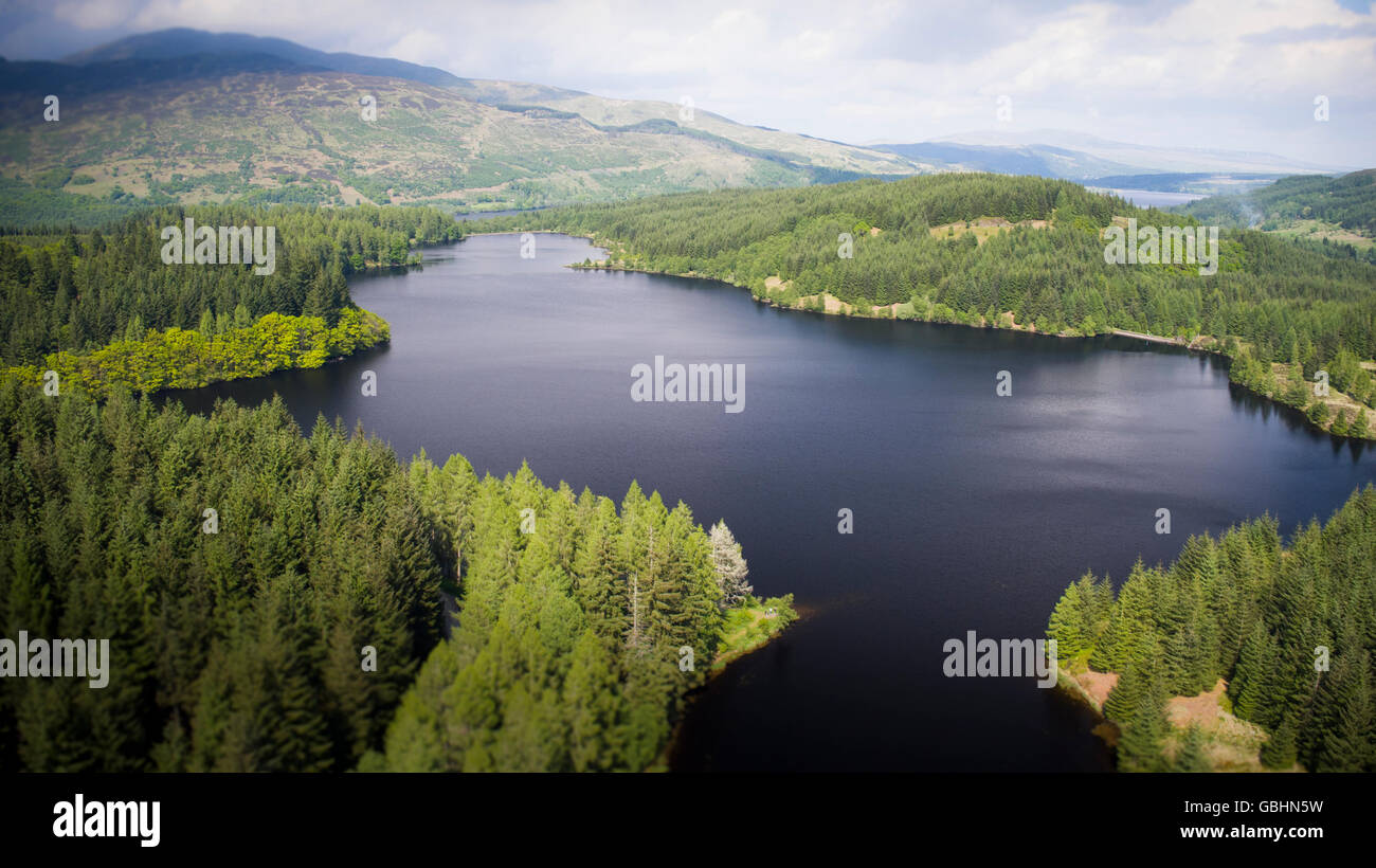 Luftbild-Drohne Foto von Loch Drunkie Trossachs Stockfotohttps://www.alamy.de/image-license-details/?v=1https://www.alamy.de/stockfoto-luftbild-drohne-foto-von-loch-drunkie-trossachs-110413237.html
RMGBHN5W–Luftbild-Drohne Foto von Loch Drunkie Trossachs
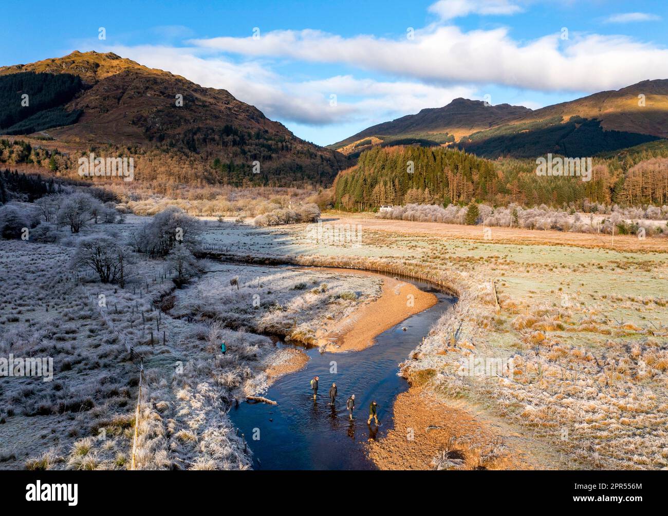 Drumsyniebeg Farm, Loch Lomond und Trossachs National Park, Argyll and Bute, Schottland. Stockfotohttps://www.alamy.de/image-license-details/?v=1https://www.alamy.de/drumsyniebeg-farm-loch-lomond-und-trossachs-national-park-argyll-and-bute-schottland-image547772364.html
RM2PR556M–Drumsyniebeg Farm, Loch Lomond und Trossachs National Park, Argyll and Bute, Schottland.
 Drohnenansicht des schottischen Highland-Dorfes Lochcarron, neben dem Loch, Wester Ross, Schottland, Juni 2024 Stockfotohttps://www.alamy.de/image-license-details/?v=1https://www.alamy.de/drohnenansicht-des-schottischen-highland-dorfes-lochcarron-neben-dem-loch-wester-ross-schottland-juni-2024-image628925570.html
RF2YF60YE–Drohnenansicht des schottischen Highland-Dorfes Lochcarron, neben dem Loch, Wester Ross, Schottland, Juni 2024
 Blick auf Loch Linnhe in Richtung Glencoe, Pap of Glencoe, Ben Nevis und Fort William, Highlands, Schottland. Stockfotohttps://www.alamy.de/image-license-details/?v=1https://www.alamy.de/blick-auf-loch-linnhe-in-richtung-glencoe-pap-of-glencoe-ben-nevis-und-fort-william-highlands-schottland-image504018263.html
RF2M800C7–Blick auf Loch Linnhe in Richtung Glencoe, Pap of Glencoe, Ben Nevis und Fort William, Highlands, Schottland.
 Luftaufnahme des DryhopeTower ein 16. Jahrhundert Peel Tower am St. Mary's Loch in den Scottish Borders. Stockfotohttps://www.alamy.de/image-license-details/?v=1https://www.alamy.de/luftaufnahme-des-dryhopetower-ein-16-jahrhundert-peel-tower-am-st-marys-loch-in-den-scottish-borders-image463440408.html
RF2HWYEY4–Luftaufnahme des DryhopeTower ein 16. Jahrhundert Peel Tower am St. Mary's Loch in den Scottish Borders.
 Luftbild Blick nach Norden über den Loch Skeen in Richtung Molls Dod Cleuch. Stockfotohttps://www.alamy.de/image-license-details/?v=1https://www.alamy.de/luftbild-blick-nach-norden-uber-den-loch-skeen-in-richtung-molls-dod-cleuch-image240675985.html
RFRYFMJW–Luftbild Blick nach Norden über den Loch Skeen in Richtung Molls Dod Cleuch.
 Innes Chonnel Caste - Loch Awe, Schottland, auch bekannt als Ardchonnel Castle, liegt auf einer Insel, die nur mit dem Wasser in der Mitte des Loch erreichbar ist Stockfotohttps://www.alamy.de/image-license-details/?v=1https://www.alamy.de/innes-chonnel-caste-loch-awe-schottland-auch-bekannt-als-ardchonnel-castle-liegt-auf-einer-insel-die-nur-mit-dem-wasser-in-der-mitte-des-loch-erreichbar-ist-image546542976.html
RF2PN5540–Innes Chonnel Caste - Loch Awe, Schottland, auch bekannt als Ardchonnel Castle, liegt auf einer Insel, die nur mit dem Wasser in der Mitte des Loch erreichbar ist
 Loch Henoch, Galloway Hills, Dumfries and Galloway, Schottland Stockfotohttps://www.alamy.de/image-license-details/?v=1https://www.alamy.de/loch-henoch-galloway-hills-dumfries-and-galloway-schottland-image258725483.html
RFW0WXYR–Loch Henoch, Galloway Hills, Dumfries and Galloway, Schottland
 Luftaufnahme von der Drohne des Ardvreck Castle auf der North Coast 500 Route in Loch Assynt, Scottish Highlands, Schottland, Großbritannien Stockfotohttps://www.alamy.de/image-license-details/?v=1https://www.alamy.de/luftaufnahme-von-der-drohne-des-ardvreck-castle-auf-der-north-coast-500-route-in-loch-assynt-scottish-highlands-schottland-grossbritannien-image555053779.html
RM2R70TN7–Luftaufnahme von der Drohne des Ardvreck Castle auf der North Coast 500 Route in Loch Assynt, Scottish Highlands, Schottland, Großbritannien
 Aus der Vogelperspektive von Loch Tummel mit Blick nach Norden über das Loch in den schottischen Highlands von Schottland Großbritannien Stockfotohttps://www.alamy.de/image-license-details/?v=1https://www.alamy.de/aus-der-vogelperspektive-von-loch-tummel-mit-blick-nach-norden-uber-das-loch-in-den-schottischen-highlands-von-schottland-grossbritannien-image598764599.html
RF2WP429Y–Aus der Vogelperspektive von Loch Tummel mit Blick nach Norden über das Loch in den schottischen Highlands von Schottland Großbritannien
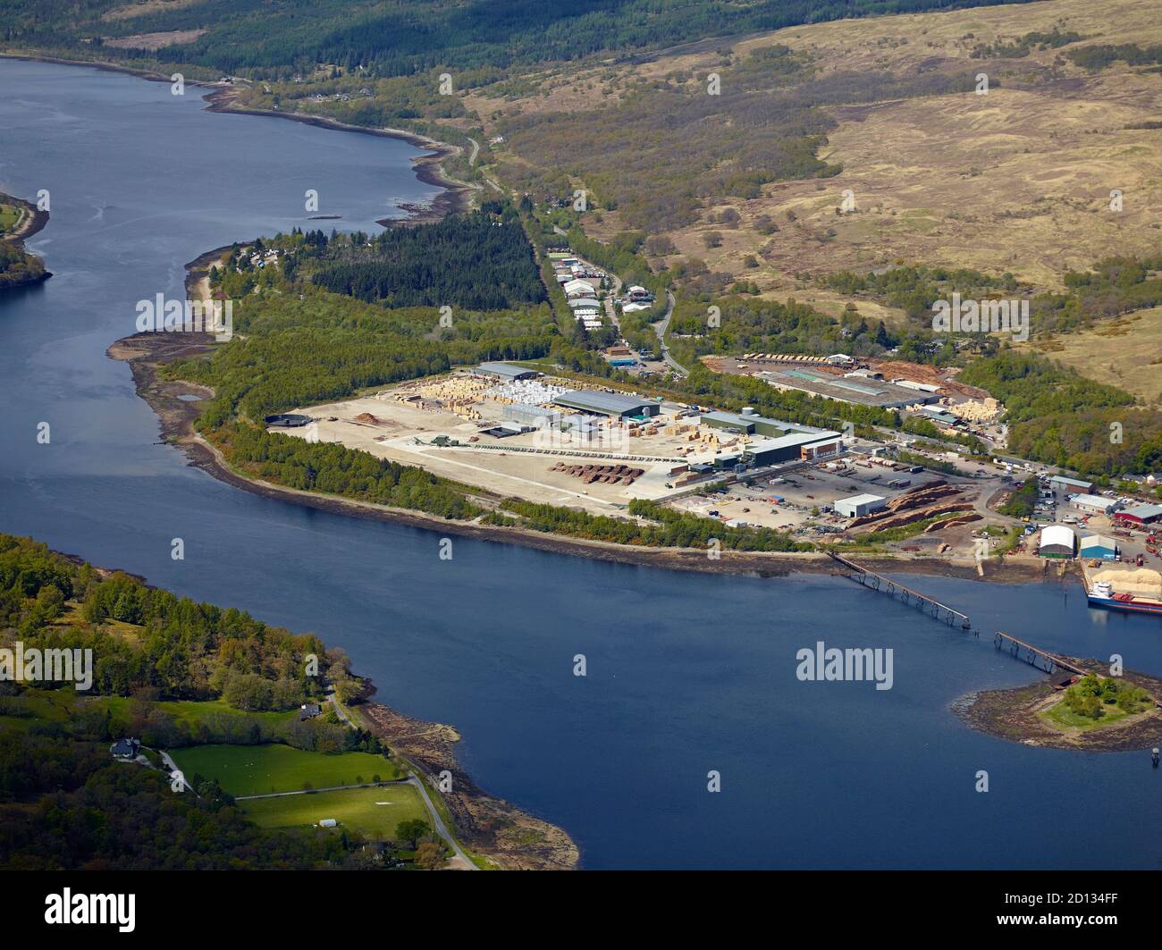 Luftaufnahme einer Holzproduktionsanlage am Ufer des Loch Eil, Corpach, nahe Fort William, Highland Scotland, UK Stockfotohttps://www.alamy.de/image-license-details/?v=1https://www.alamy.de/luftaufnahme-einer-holzproduktionsanlage-am-ufer-des-loch-eil-corpach-nahe-fort-william-highland-scotland-uk-image379312179.html
RM2D134FF–Luftaufnahme einer Holzproduktionsanlage am Ufer des Loch Eil, Corpach, nahe Fort William, Highland Scotland, UK
 Blick aus der Vogelperspektive auf Tulla ViewPoint, schottische Highlands, Schottland, Großbritannien Stockfotohttps://www.alamy.de/image-license-details/?v=1https://www.alamy.de/blick-aus-der-vogelperspektive-auf-tulla-viewpoint-schottische-highlands-schottland-grossbritannien-image555198735.html
RM2R77DJ7–Blick aus der Vogelperspektive auf Tulla ViewPoint, schottische Highlands, Schottland, Großbritannien
 Panorama-Drohnenschießen über die schottischen Highlands entlang der North Coast Route 500 - Blick Richtung Loch Alsh bei Nostie und Dornie am wolkigen Herbstmorgen. Stockfotohttps://www.alamy.de/image-license-details/?v=1https://www.alamy.de/panorama-drohnenschiessen-uber-die-schottischen-highlands-entlang-der-north-coast-route-500-blick-richtung-loch-alsh-bei-nostie-und-dornie-am-wolkigen-herbstmorgen-image352956832.html
RF2BE6G14–Panorama-Drohnenschießen über die schottischen Highlands entlang der North Coast Route 500 - Blick Richtung Loch Alsh bei Nostie und Dornie am wolkigen Herbstmorgen.
 Luftaufnahme eines ruhigen schottischen loch in der frühen Morgensonne (Loch Eil, Fort William) Stockfotohttps://www.alamy.de/image-license-details/?v=1https://www.alamy.de/luftaufnahme-eines-ruhigen-schottischen-loch-in-der-fruhen-morgensonne-loch-eil-fort-william-image447521648.html
RF2H02AC0–Luftaufnahme eines ruhigen schottischen loch in der frühen Morgensonne (Loch Eil, Fort William)
 Loch Torridon, Schottische Highlands. Ein Luftbild über Loch Torridon im Nordwesten Schottlands mit der Sonne, die durch die Wolken bricht. Stockfotohttps://www.alamy.de/image-license-details/?v=1https://www.alamy.de/loch-torridon-schottische-highlands-ein-luftbild-uber-loch-torridon-im-nordwesten-schottlands-mit-der-sonne-die-durch-die-wolken-bricht-image348904489.html
RF2B7HY6H–Loch Torridon, Schottische Highlands. Ein Luftbild über Loch Torridon im Nordwesten Schottlands mit der Sonne, die durch die Wolken bricht.
 Eilean Domhnuill Island in Loch Olabhat, N. Uist, Schottland. 5000 Jahre prähistorische jungsteinzeitliche frühe Crannog-Wohnstätte mit Damm. Ansicht auf SW Stockfotohttps://www.alamy.de/image-license-details/?v=1https://www.alamy.de/eilean-domhnuill-island-in-loch-olabhat-n-uist-schottland-5000-jahre-prahistorische-jungsteinzeitliche-fruhe-crannog-wohnstatte-mit-damm-ansicht-auf-sw-image558373841.html
RM2RCC3EW–Eilean Domhnuill Island in Loch Olabhat, N. Uist, Schottland. 5000 Jahre prähistorische jungsteinzeitliche frühe Crannog-Wohnstätte mit Damm. Ansicht auf SW
 Drohnenansicht einer Küstenstraße und Landschaft an der Nordküste 500 szenische Fahrt im schottischen Higlands bei Lochniver Stockfotohttps://www.alamy.de/image-license-details/?v=1https://www.alamy.de/drohnenansicht-einer-kustenstrasse-und-landschaft-an-der-nordkuste-500-szenische-fahrt-im-schottischen-higlands-bei-lochniver-image477781792.html
RF2JN8RFC–Drohnenansicht einer Küstenstraße und Landschaft an der Nordküste 500 szenische Fahrt im schottischen Higlands bei Lochniver
 Loch Tulla und Beinn Dorain von einer Drohne, Glen Coe, Highlands, Schottland, Großbritannien Stockfotohttps://www.alamy.de/image-license-details/?v=1https://www.alamy.de/loch-tulla-und-beinn-dorain-von-einer-drohne-glen-coe-highlands-schottland-grossbritannien-image560003311.html
RF2RF29X7–Loch Tulla und Beinn Dorain von einer Drohne, Glen Coe, Highlands, Schottland, Großbritannien
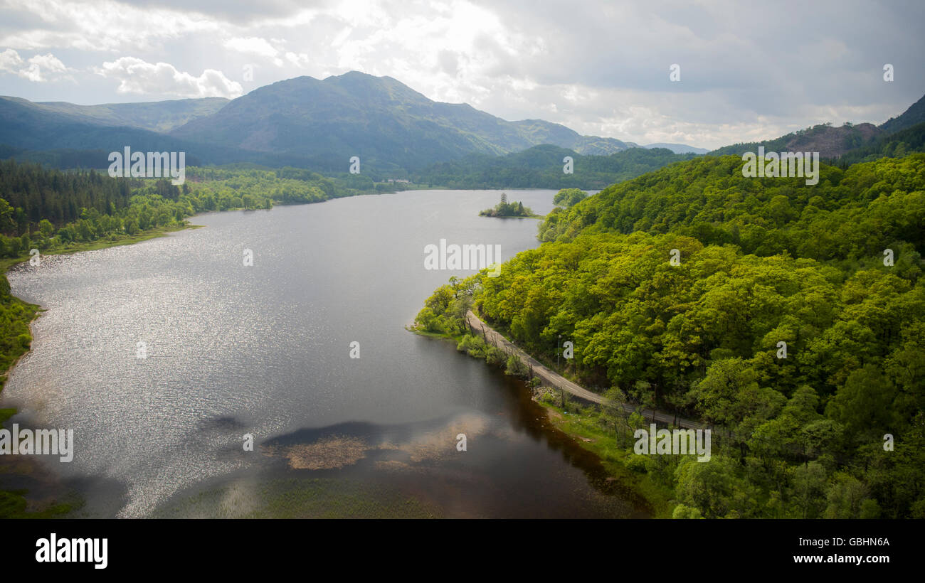 Luftbild-Drohne Schuss Loch Achray Trossachs Schottlands Stockfotohttps://www.alamy.de/image-license-details/?v=1https://www.alamy.de/stockfoto-luftbild-drohne-schuss-loch-achray-trossachs-schottlands-110413250.html
RMGBHN6A–Luftbild-Drohne Schuss Loch Achray Trossachs Schottlands
 Drumsyniebeg Farm, Loch Lomond und Trossachs National Park, Argyll and Bute, Schottland. Stockfotohttps://www.alamy.de/image-license-details/?v=1https://www.alamy.de/drumsyniebeg-farm-loch-lomond-und-trossachs-national-park-argyll-and-bute-schottland-image547772351.html
RM2PR5567–Drumsyniebeg Farm, Loch Lomond und Trossachs National Park, Argyll and Bute, Schottland.
 Drohnenansicht des schottischen Highland-Dorfes Lochcarron, neben dem Loch, Wester Ross, Schottland, Juni 2024 Stockfotohttps://www.alamy.de/image-license-details/?v=1https://www.alamy.de/drohnenansicht-des-schottischen-highland-dorfes-lochcarron-neben-dem-loch-wester-ross-schottland-juni-2024-image628925557.html
RF2YF60Y1–Drohnenansicht des schottischen Highland-Dorfes Lochcarron, neben dem Loch, Wester Ross, Schottland, Juni 2024
 Blick auf Loch Linnhe in Richtung Glencoe, Pap of Glencoe, Ben Nevis und Fort William, Highlands, Schottland. Stockfotohttps://www.alamy.de/image-license-details/?v=1https://www.alamy.de/blick-auf-loch-linnhe-in-richtung-glencoe-pap-of-glencoe-ben-nevis-und-fort-william-highlands-schottland-image504018268.html
RF2M800CC–Blick auf Loch Linnhe in Richtung Glencoe, Pap of Glencoe, Ben Nevis und Fort William, Highlands, Schottland.
 Luftaufnahme des DryhopeTower ein 16. Jahrhundert Peel Tower am St. Mary's Loch in den Scottish Borders. Stockfotohttps://www.alamy.de/image-license-details/?v=1https://www.alamy.de/luftaufnahme-des-dryhopetower-ein-16-jahrhundert-peel-tower-am-st-marys-loch-in-den-scottish-borders-image463436734.html
RF2HWYA7X–Luftaufnahme des DryhopeTower ein 16. Jahrhundert Peel Tower am St. Mary's Loch in den Scottish Borders.
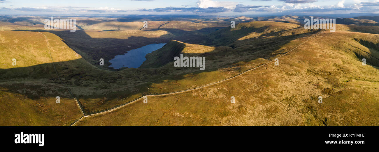 Antenne Panorama über Loch Skeen und Moffat Dale in Richtung Cumbria in England. Stockfotohttps://www.alamy.de/image-license-details/?v=1https://www.alamy.de/antenne-panorama-uber-loch-skeen-und-moffat-dale-in-richtung-cumbria-in-england-image240675890.html
RFRYFMFE–Antenne Panorama über Loch Skeen und Moffat Dale in Richtung Cumbria in England.
 Abendstimmung am Loch Alsh mit Tulach Ard Hill, Drohnenschuss, Reraig, Kyle, Schottland, Großbritannien Stockfotohttps://www.alamy.de/image-license-details/?v=1https://www.alamy.de/abendstimmung-am-loch-alsh-mit-tulach-ard-hill-drohnenschuss-reraig-kyle-schottland-grossbritannien-image624594090.html
RF2Y84M3P–Abendstimmung am Loch Alsh mit Tulach Ard Hill, Drohnenschuss, Reraig, Kyle, Schottland, Großbritannien
 Loch Trool von Buchan Hill, Galloway Hills, Dufmries & Galloway, Schottland Stockfotohttps://www.alamy.de/image-license-details/?v=1https://www.alamy.de/loch-trool-von-buchan-hill-galloway-hills-dufmries-galloway-schottland-image258723939.html
RMW0WW0K–Loch Trool von Buchan Hill, Galloway Hills, Dufmries & Galloway, Schottland
 Luftaufnahme von der Drohne des Ardvreck Castle auf der North Coast 500 Route in Loch Assynt, Scottish Highlands, Schottland, Großbritannien Stockfotohttps://www.alamy.de/image-license-details/?v=1https://www.alamy.de/luftaufnahme-von-der-drohne-des-ardvreck-castle-auf-der-north-coast-500-route-in-loch-assynt-scottish-highlands-schottland-grossbritannien-image555053787.html
RF2R70TNF–Luftaufnahme von der Drohne des Ardvreck Castle auf der North Coast 500 Route in Loch Assynt, Scottish Highlands, Schottland, Großbritannien
 Aus der Vogelperspektive von Loch Tummel mit Blick nach Süden über das Loch in den schottischen Highlands von Schottland Großbritannien Stockfotohttps://www.alamy.de/image-license-details/?v=1https://www.alamy.de/aus-der-vogelperspektive-von-loch-tummel-mit-blick-nach-suden-uber-das-loch-in-den-schottischen-highlands-von-schottland-grossbritannien-image598764577.html
RF2WP4295–Aus der Vogelperspektive von Loch Tummel mit Blick nach Süden über das Loch in den schottischen Highlands von Schottland Großbritannien
 Ein Drohnenfoto von der Neptun-Treppe in Fort William. Dies ist eine große Bootsschleuse, die den Caledonian Canal mit Loch Linnhe verbindet. Stockfotohttps://www.alamy.de/image-license-details/?v=1https://www.alamy.de/ein-drohnenfoto-von-der-neptun-treppe-in-fort-william-dies-ist-eine-grosse-bootsschleuse-die-den-caledonian-canal-mit-loch-linnhe-verbindet-image556753629.html
RF2R9P8X5–Ein Drohnenfoto von der Neptun-Treppe in Fort William. Dies ist eine große Bootsschleuse, die den Caledonian Canal mit Loch Linnhe verbindet.
 Blick aus der Vogelperspektive auf Tulla ViewPoint, schottische Highlands, Schottland, Großbritannien Stockfotohttps://www.alamy.de/image-license-details/?v=1https://www.alamy.de/blick-aus-der-vogelperspektive-auf-tulla-viewpoint-schottische-highlands-schottland-grossbritannien-image555198577.html
RM2R77DCH–Blick aus der Vogelperspektive auf Tulla ViewPoint, schottische Highlands, Schottland, Großbritannien
 Von oben nach unten drone Schießen über den Fluss Moriston im frühen Herbst in der Nähe von Loch Cluanie in der nordwestlichen Highlands von Schottland Stockfotohttps://www.alamy.de/image-license-details/?v=1https://www.alamy.de/von-oben-nach-unten-drone-schiessen-uber-den-fluss-moriston-im-fruhen-herbst-in-der-nahe-von-loch-cluanie-in-der-nordwestlichen-highlands-von-schottland-image333960217.html
RF2AB95JH–Von oben nach unten drone Schießen über den Fluss Moriston im frühen Herbst in der Nähe von Loch Cluanie in der nordwestlichen Highlands von Schottland
 Luftaufnahme eines ruhigen schottischen loch in der frühen Morgensonne (Loch Eil, Fort William) Stockfotohttps://www.alamy.de/image-license-details/?v=1https://www.alamy.de/luftaufnahme-eines-ruhigen-schottischen-loch-in-der-fruhen-morgensonne-loch-eil-fort-william-image447521533.html
RF2H02A7W–Luftaufnahme eines ruhigen schottischen loch in der frühen Morgensonne (Loch Eil, Fort William)
 Loch Torridon, Schottische Highlands. Ein Luftbild über ein Meeresloch im Nordwesten Schottlands und die Highlands an einem typisch grauen und übergiebelten Tag. Stockfotohttps://www.alamy.de/image-license-details/?v=1https://www.alamy.de/loch-torridon-schottische-highlands-ein-luftbild-uber-ein-meeresloch-im-nordwesten-schottlands-und-die-highlands-an-einem-typisch-grauen-und-ubergiebelten-tag-image348904559.html
RF2B7HY93–Loch Torridon, Schottische Highlands. Ein Luftbild über ein Meeresloch im Nordwesten Schottlands und die Highlands an einem typisch grauen und übergiebelten Tag.
 Höhe drone Schießen über Loch Shin entlang einer 838 an Hell herbstlichen Tag in der North West Highlands von Schottland-NC500 Stockfotohttps://www.alamy.de/image-license-details/?v=1https://www.alamy.de/hohe-drone-schiessen-uber-loch-shin-entlang-einer-838-an-hell-herbstlichen-tag-in-der-north-west-highlands-von-schottland-nc500-image333961619.html
RF2AB97CK–Höhe drone Schießen über Loch Shin entlang einer 838 an Hell herbstlichen Tag in der North West Highlands von Schottland-NC500
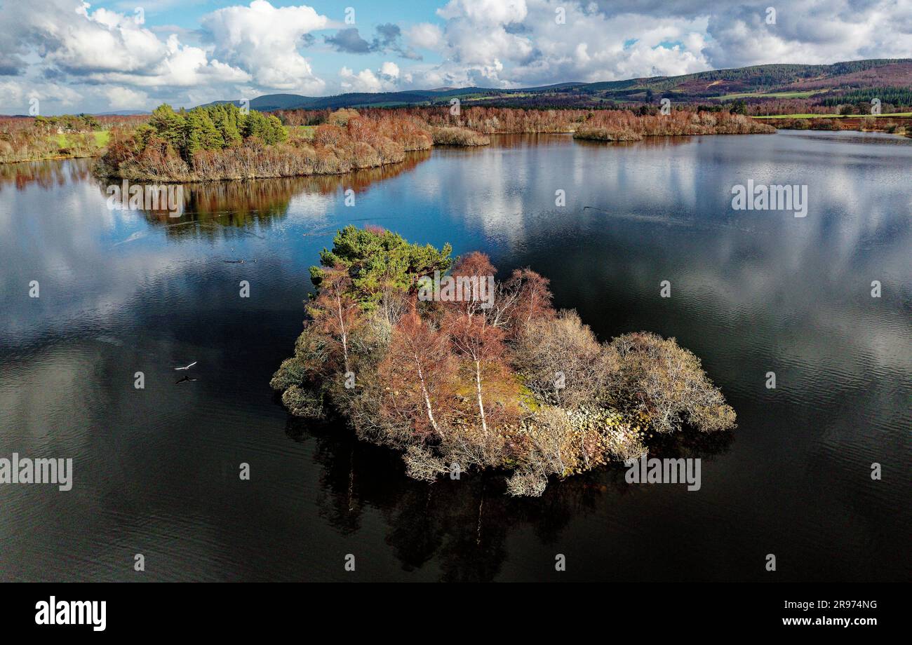 Loch Kinord Crannog prähistorische Eisenzeit künstliche Inselsiedlung. Muir von Dinnet, Grampian, Schottland. Frühling. Luftaufnahme nach Osten Stockfotohttps://www.alamy.de/image-license-details/?v=1https://www.alamy.de/loch-kinord-crannog-prahistorische-eisenzeit-kunstliche-inselsiedlung-muir-von-dinnet-grampian-schottland-fruhling-luftaufnahme-nach-osten-image556421084.html
RM2R974NG–Loch Kinord Crannog prähistorische Eisenzeit künstliche Inselsiedlung. Muir von Dinnet, Grampian, Schottland. Frühling. Luftaufnahme nach Osten
 Drohnenansicht einer Küstenstraße und Landschaft an der Nordküste 500 szenische Fahrt im schottischen Higlands bei Lochniver Stockfotohttps://www.alamy.de/image-license-details/?v=1https://www.alamy.de/drohnenansicht-einer-kustenstrasse-und-landschaft-an-der-nordkuste-500-szenische-fahrt-im-schottischen-higlands-bei-lochniver-image477830789.html
RF2JNB219–Drohnenansicht einer Küstenstraße und Landschaft an der Nordküste 500 szenische Fahrt im schottischen Higlands bei Lochniver
 Loch Tulla und Beinn Dorain von einer Drohne, Glen Coe, Highlands, Schottland, Großbritannien Stockfotohttps://www.alamy.de/image-license-details/?v=1https://www.alamy.de/loch-tulla-und-beinn-dorain-von-einer-drohne-glen-coe-highlands-schottland-grossbritannien-image560003312.html
RF2RF29X8–Loch Tulla und Beinn Dorain von einer Drohne, Glen Coe, Highlands, Schottland, Großbritannien
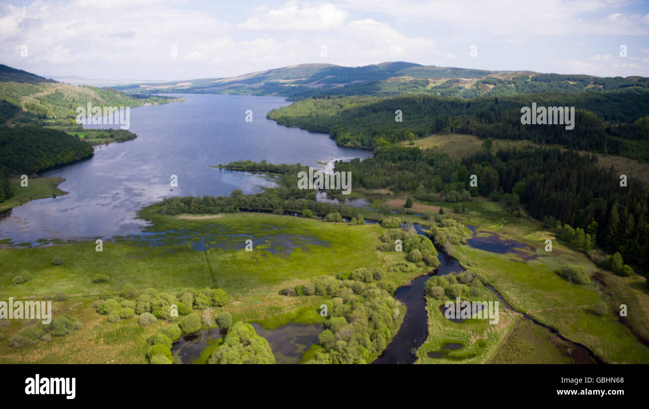 Luftbild-Drohne Foto des Loch Venachar Trossachs National Park Stockfotohttps://www.alamy.de/image-license-details/?v=1https://www.alamy.de/stockfoto-luftbild-drohne-foto-des-loch-venachar-trossachs-national-park-110413248.html
RMGBHN68–Luftbild-Drohne Foto des Loch Venachar Trossachs National Park
 Drumsyniebeg Farm, Loch Lomond und Trossachs National Park, Argyll and Bute, Schottland. Stockfotohttps://www.alamy.de/image-license-details/?v=1https://www.alamy.de/drumsyniebeg-farm-loch-lomond-und-trossachs-national-park-argyll-and-bute-schottland-image547772360.html
RM2PR556G–Drumsyniebeg Farm, Loch Lomond und Trossachs National Park, Argyll and Bute, Schottland.
 Drohnenansicht des schottischen Highland-Dorfes Lochcarron, neben dem Loch, Wester Ross, Schottland, Juni 2024 Stockfotohttps://www.alamy.de/image-license-details/?v=1https://www.alamy.de/drohnenansicht-des-schottischen-highland-dorfes-lochcarron-neben-dem-loch-wester-ross-schottland-juni-2024-image628925552.html
RF2YF60XT–Drohnenansicht des schottischen Highland-Dorfes Lochcarron, neben dem Loch, Wester Ross, Schottland, Juni 2024
 Glenfinnan Railway Viadukt in den schottischen Highlands. Berühmtes Bogenviadukt, das von Dampfzügen genutzt wird. Aus der Vogelperspektive mit Loch Stockfotohttps://www.alamy.de/image-license-details/?v=1https://www.alamy.de/glenfinnan-railway-viadukt-in-den-schottischen-highlands-beruhmtes-bogenviadukt-das-von-dampfzugen-genutzt-wird-aus-der-vogelperspektive-mit-loch-image502874299.html
RF2M63W8B–Glenfinnan Railway Viadukt in den schottischen Highlands. Berühmtes Bogenviadukt, das von Dampfzügen genutzt wird. Aus der Vogelperspektive mit Loch
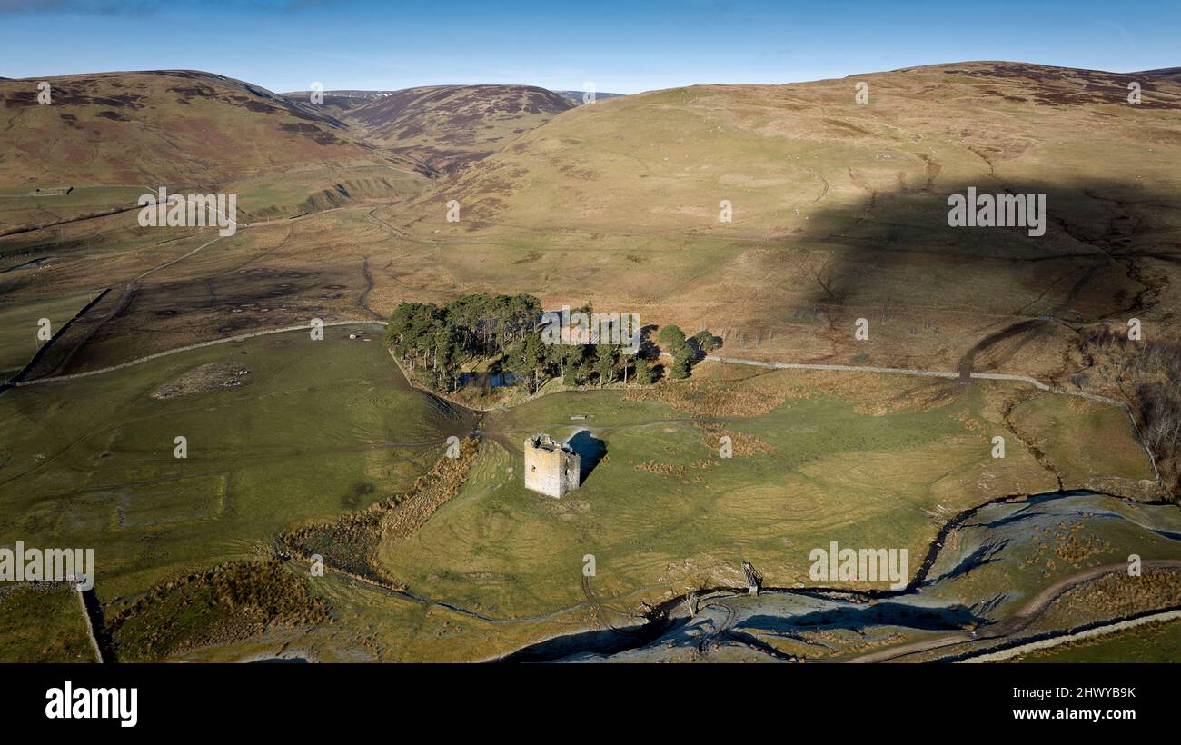 Luftaufnahme des DryhopeTower ein 16. Jahrhundert Peel Tower am St. Mary's Loch in den Scottish Borders. Stockfotohttps://www.alamy.de/image-license-details/?v=1https://www.alamy.de/luftaufnahme-des-dryhopetower-ein-16-jahrhundert-peel-tower-am-st-marys-loch-in-den-scottish-borders-image463437567.html
RF2HWYB9K–Luftaufnahme des DryhopeTower ein 16. Jahrhundert Peel Tower am St. Mary's Loch in den Scottish Borders.
 Antenne Panorama über Loch Skeen und Moffat Dale in Richtung Cumbria in England. Stockfotohttps://www.alamy.de/image-license-details/?v=1https://www.alamy.de/antenne-panorama-uber-loch-skeen-und-moffat-dale-in-richtung-cumbria-in-england-image240675830.html
RFRYFMDA–Antenne Panorama über Loch Skeen und Moffat Dale in Richtung Cumbria in England.
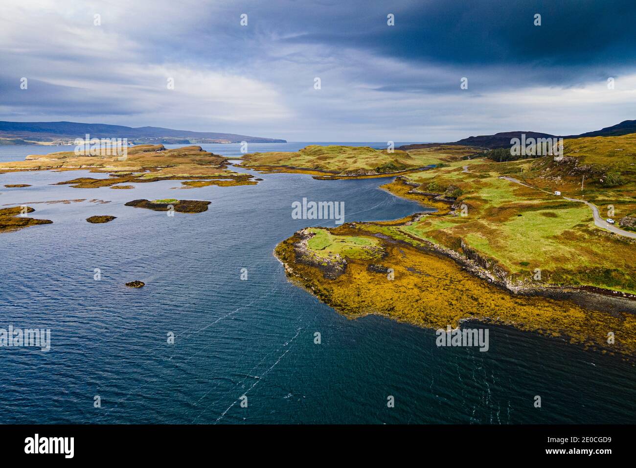 Luftaufnahme von Loch Dunvegan, Isle of Skye, Innere Hebriden, Schottland, Vereinigtes Königreich, Europa Stockfotohttps://www.alamy.de/image-license-details/?v=1https://www.alamy.de/luftaufnahme-von-loch-dunvegan-isle-of-skye-innere-hebriden-schottland-vereinigtes-konigreich-europa-image396114805.html
RF2E0CGD9–Luftaufnahme von Loch Dunvegan, Isle of Skye, Innere Hebriden, Schottland, Vereinigtes Königreich, Europa
 Luftaufnahme des Loch Trool, Glen Trool, Galloway Hills, Dumfries and Galloway, Schottland Stockfotohttps://www.alamy.de/image-license-details/?v=1https://www.alamy.de/luftaufnahme-des-loch-trool-glen-trool-galloway-hills-dumfries-and-galloway-schottland-image258723400.html
RMW0WT9C–Luftaufnahme des Loch Trool, Glen Trool, Galloway Hills, Dumfries and Galloway, Schottland
 Luftaufnahme von der Drohne des Ardvreck Castle auf der North Coast 500 Route in Loch Assynt, Scottish Highlands, Schottland, Großbritannien Stockfotohttps://www.alamy.de/image-license-details/?v=1https://www.alamy.de/luftaufnahme-von-der-drohne-des-ardvreck-castle-auf-der-north-coast-500-route-in-loch-assynt-scottish-highlands-schottland-grossbritannien-image555053796.html
RF2R70TNT–Luftaufnahme von der Drohne des Ardvreck Castle auf der North Coast 500 Route in Loch Assynt, Scottish Highlands, Schottland, Großbritannien
 Vogelperspektive auf den Fluss Muick und den Pinienwald auf dem Balmoral Estate im Cairngorms-Nationalpark im schottischen Hochland Schottlands, Stockfotohttps://www.alamy.de/image-license-details/?v=1https://www.alamy.de/vogelperspektive-auf-den-fluss-muick-und-den-pinienwald-auf-dem-balmoral-estate-im-cairngorms-nationalpark-im-schottischen-hochland-schottlands-image508781148.html
RM2MFMYF8–Vogelperspektive auf den Fluss Muick und den Pinienwald auf dem Balmoral Estate im Cairngorms-Nationalpark im schottischen Hochland Schottlands,
 Ein Drohnenfoto von der Neptun-Treppe in Fort William. Dies ist eine große Bootsschleuse, die den Caledonian Canal mit Loch Linnhe verbindet. Stockfotohttps://www.alamy.de/image-license-details/?v=1https://www.alamy.de/ein-drohnenfoto-von-der-neptun-treppe-in-fort-william-dies-ist-eine-grosse-bootsschleuse-die-den-caledonian-canal-mit-loch-linnhe-verbindet-image556753993.html
RF2R9P9B5–Ein Drohnenfoto von der Neptun-Treppe in Fort William. Dies ist eine große Bootsschleuse, die den Caledonian Canal mit Loch Linnhe verbindet.
 Blick aus der Vogelperspektive auf das Dorf Luss am Lake Lomond, Schottland, Großbritannien Stockfotohttps://www.alamy.de/image-license-details/?v=1https://www.alamy.de/blick-aus-der-vogelperspektive-auf-das-dorf-luss-am-lake-lomond-schottland-grossbritannien-image555178653.html
RM2R76G11–Blick aus der Vogelperspektive auf das Dorf Luss am Lake Lomond, Schottland, Großbritannien
 Drohnenansicht einer Küstenstraße und Landschaft an der Nordküste 500 szenische Fahrt im schottischen Higlands bei Lochniver Stockfotohttps://www.alamy.de/image-license-details/?v=1https://www.alamy.de/drohnenansicht-einer-kustenstrasse-und-landschaft-an-der-nordkuste-500-szenische-fahrt-im-schottischen-higlands-bei-lochniver-image477563574.html
RF2JMXW5X–Drohnenansicht einer Küstenstraße und Landschaft an der Nordküste 500 szenische Fahrt im schottischen Higlands bei Lochniver