Schnellfilter:
Cape clear island Stockfotos & Bilder
 Fastnet Rock Lighthouse, Cape Clear Island, County Cork, Irland Stockfotohttps://www.alamy.de/image-license-details/?v=1https://www.alamy.de/fastnet-rock-lighthouse-cape-clear-island-county-cork-irland-image331265472.html
RM2A6XCDM–Fastnet Rock Lighthouse, Cape Clear Island, County Cork, Irland
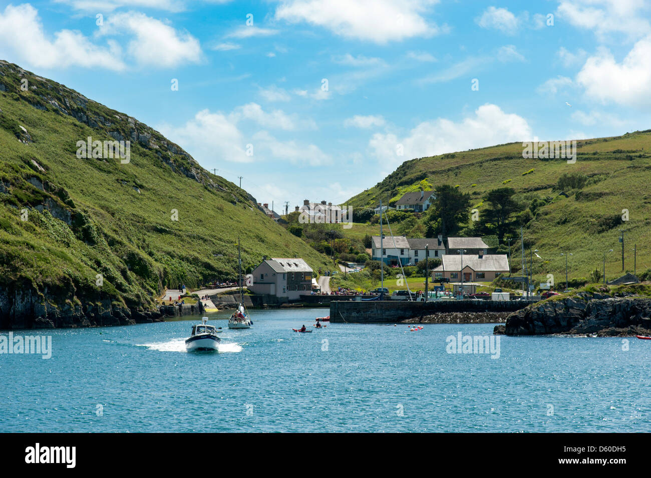 Cape Clear Island, County Cork, Irland Stockfotohttps://www.alamy.de/image-license-details/?v=1https://www.alamy.de/stockfoto-cape-clear-island-county-cork-irland-55329713.html
RFD60DH5–Cape Clear Island, County Cork, Irland
 Landzunge am südlichen Hafen, Cape Clear Island, County Cork, Irland, Republik Irland Stockfotohttps://www.alamy.de/image-license-details/?v=1https://www.alamy.de/stockfoto-landzunge-am-sudlichen-hafen-cape-clear-island-county-cork-irland-republik-irland-139459990.html
RMJ2TXHX–Landzunge am südlichen Hafen, Cape Clear Island, County Cork, Irland, Republik Irland
 North Harbour Cape Clear Stockfotohttps://www.alamy.de/image-license-details/?v=1https://www.alamy.de/stockfoto-north-harbour-cape-clear-78337462.html
RFEFCG6E–North Harbour Cape Clear
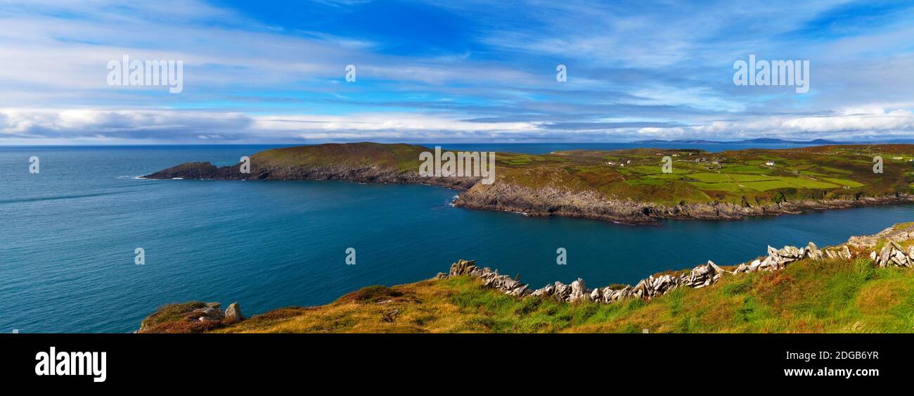 Insel im Meer, Cape Clear Island, County Cork, Republik Irland Stockfotohttps://www.alamy.de/image-license-details/?v=1https://www.alamy.de/insel-im-meer-cape-clear-island-county-cork-republik-irland-image388709547.html
RM2DGB6YR–Insel im Meer, Cape Clear Island, County Cork, Republik Irland
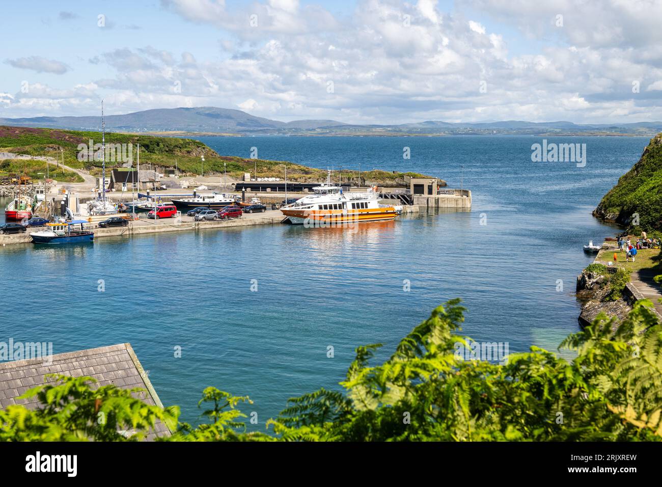 Cape Clear Fähre „Carraig Aonair“ im Hafen von Cape Clear Island, West Cork, Irland. Stockfotohttps://www.alamy.de/image-license-details/?v=1https://www.alamy.de/cape-clear-fahre-carraig-aonair-im-hafen-von-cape-clear-island-west-cork-irland-image562384785.html
RM2RJXREW–Cape Clear Fähre „Carraig Aonair“ im Hafen von Cape Clear Island, West Cork, Irland.
 Straße auf Cape Clear Island vor der Küste von Cork, Süd-Westküste von Irland, gesäumt von lila Heidekraut und Ginster Blumen gelb Stockfotohttps://www.alamy.de/image-license-details/?v=1https://www.alamy.de/stockfoto-strasse-auf-cape-clear-island-vor-der-kuste-von-cork-sud-westkuste-von-irland-gesaumt-von-lila-heidekraut-und-ginster-blumen-gelb-87095522.html
RFF1KF6A–Straße auf Cape Clear Island vor der Küste von Cork, Süd-Westküste von Irland, gesäumt von lila Heidekraut und Ginster Blumen gelb
 Cape Clear Island von Sherkin Island, County Cork, Irland Stockfotohttps://www.alamy.de/image-license-details/?v=1https://www.alamy.de/stockfoto-cape-clear-island-von-sherkin-island-county-cork-irland-52905964.html
RMD2222M–Cape Clear Island von Sherkin Island, County Cork, Irland
 Gedenktafel am Cape Clear Island im County Cork Stockfotohttps://www.alamy.de/image-license-details/?v=1https://www.alamy.de/gedenktafel-am-cape-clear-island-im-county-cork-image150087789.html
RMJM52E5–Gedenktafel am Cape Clear Island im County Cork
 Häuser mit Blick auf Südhafen auf die südlichste bewohnte Insel Cape Clear Island, Irland, abseits der Küste von Co. Cork Stockfotohttps://www.alamy.de/image-license-details/?v=1https://www.alamy.de/stockfoto-hauser-mit-blick-auf-sudhafen-auf-die-sudlichste-bewohnte-insel-cape-clear-island-irland-abseits-der-kuste-von-co-cork-40065714.html
RMC9546A–Häuser mit Blick auf Südhafen auf die südlichste bewohnte Insel Cape Clear Island, Irland, abseits der Küste von Co. Cork
 Cape Clear Island Stockfotohttps://www.alamy.de/image-license-details/?v=1https://www.alamy.de/cape-clear-island-image62657736.html
RFDHX8G8–Cape Clear Island
 Blick auf Kajakfahrer und Cape Clear Island von Sherkin Island auf dem Wild Atlantic Way in West Cork in Irland Europa Stockfotohttps://www.alamy.de/image-license-details/?v=1https://www.alamy.de/blick-auf-kajakfahrer-und-cape-clear-island-von-sherkin-island-auf-dem-wild-atlantic-way-in-west-cork-in-irland-europa-image603291598.html
RF2X1E8GE–Blick auf Kajakfahrer und Cape Clear Island von Sherkin Island auf dem Wild Atlantic Way in West Cork in Irland Europa
 Die Landstraße schlängelt sich über Cape Clear Island Ireland durch Island Farmland, um an einem felsigen Ufer in nordöstlicher Richtung auf der Insel zu gleiten. Stockfotohttps://www.alamy.de/image-license-details/?v=1https://www.alamy.de/die-landstrasse-schlangelt-sich-uber-cape-clear-island-ireland-durch-island-farmland-um-an-einem-felsigen-ufer-in-nordostlicher-richtung-auf-der-insel-zu-gleiten-image346837101.html
RM2B47P79–Die Landstraße schlängelt sich über Cape Clear Island Ireland durch Island Farmland, um an einem felsigen Ufer in nordöstlicher Richtung auf der Insel zu gleiten.
 Blick vom Sherkin Island nach Cape Clear island Stockfotohttps://www.alamy.de/image-license-details/?v=1https://www.alamy.de/stockfoto-blick-vom-sherkin-island-nach-cape-clear-island-118177677.html
RMGT7CR9–Blick vom Sherkin Island nach Cape Clear island
 Türkisklares Wasser und Granitfelsen, Mumbo Island, Cape Maclear, Lake Malawi, Malawi, Afrika Stockfotohttps://www.alamy.de/image-license-details/?v=1https://www.alamy.de/stockfoto-turkisklares-wasser-und-granitfelsen-mumbo-island-cape-maclear-lake-malawi-malawi-afrika-173944184.html
RMM2YRG8–Türkisklares Wasser und Granitfelsen, Mumbo Island, Cape Maclear, Lake Malawi, Malawi, Afrika
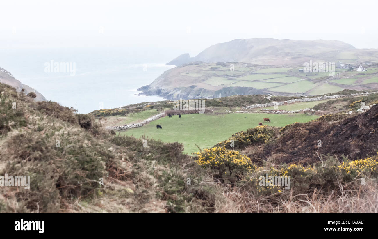 Cape Clear Island, Irland Stockfotohttps://www.alamy.de/image-license-details/?v=1https://www.alamy.de/stockfoto-cape-clear-island-irland-79512787.html
RMEHA3AB–Cape Clear Island, Irland
 Sommertag auf Cape Clear Island West Cork Irland. Es ist der südlichste bewohnte Teil Irlands und hat eine Bevölkerung von 147 Menschen. Stockfotohttps://www.alamy.de/image-license-details/?v=1https://www.alamy.de/sommertag-auf-cape-clear-island-west-cork-irland-es-ist-der-sudlichste-bewohnte-teil-irlands-und-hat-eine-bevolkerung-von-147-menschen-image255247913.html
RFTR7F8W–Sommertag auf Cape Clear Island West Cork Irland. Es ist der südlichste bewohnte Teil Irlands und hat eine Bevölkerung von 147 Menschen.
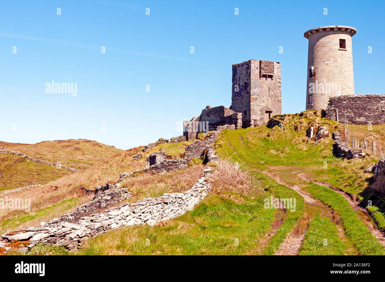 Die Ruinen der Festung, Cape Clear Island, County Cork, Irland Stockfotohttps://www.alamy.de/image-license-details/?v=1https://www.alamy.de/die-ruinen-der-festung-cape-clear-island-county-cork-irland-image327682630.html
RM2A136F2–Die Ruinen der Festung, Cape Clear Island, County Cork, Irland
 Mutter und Töchter bei nassem Wetter auf Cape Clare Island, Irland Stockfotohttps://www.alamy.de/image-license-details/?v=1https://www.alamy.de/stockfoto-mutter-und-tochter-bei-nassem-wetter-auf-cape-clare-island-irland-23101750.html
RMB9GAEE–Mutter und Töchter bei nassem Wetter auf Cape Clare Island, Irland
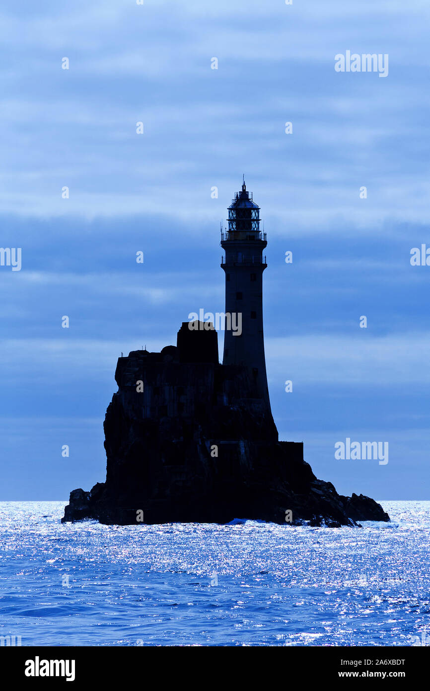 Fastnet Rock Lighthouse, Cape Clear Island, County Cork, Irland Stockfotohttps://www.alamy.de/image-license-details/?v=1https://www.alamy.de/fastnet-rock-lighthouse-cape-clear-island-county-cork-irland-image331264692.html
RM2A6XBDT–Fastnet Rock Lighthouse, Cape Clear Island, County Cork, Irland
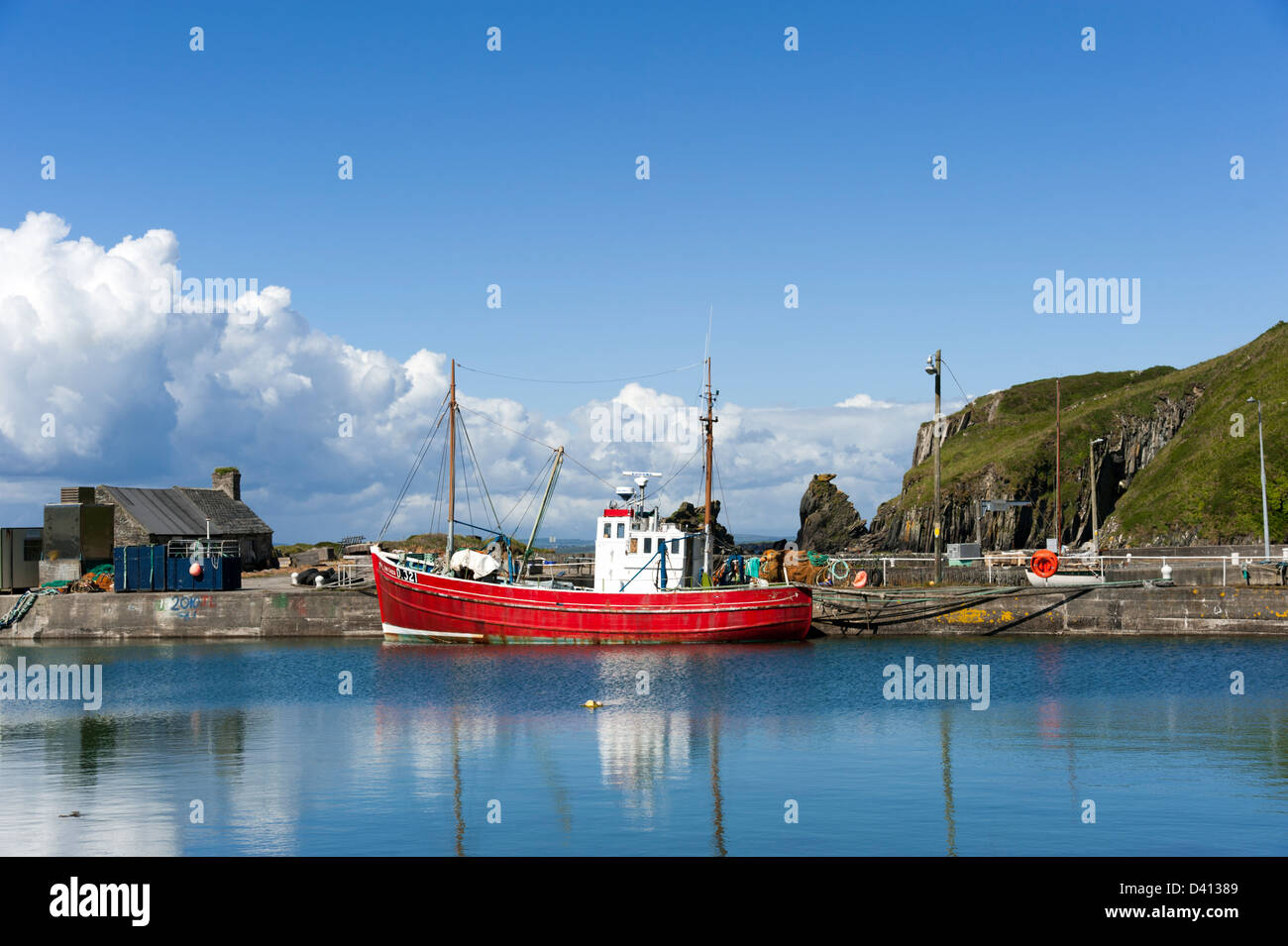 Hafen Sie bei Cape Clear Island, County Cork, Irland Stockfotohttps://www.alamy.de/image-license-details/?v=1https://www.alamy.de/stockfoto-hafen-sie-bei-cape-clear-island-county-cork-irland-54114265.html
RFD41389–Hafen Sie bei Cape Clear Island, County Cork, Irland
 North Harbour, Cape Clear Island, County Cork, Irland, Republik Irland Stockfotohttps://www.alamy.de/image-license-details/?v=1https://www.alamy.de/stockfoto-north-harbour-cape-clear-island-county-cork-irland-republik-irland-140748437.html
RMJ4YJ1W–North Harbour, Cape Clear Island, County Cork, Irland, Republik Irland
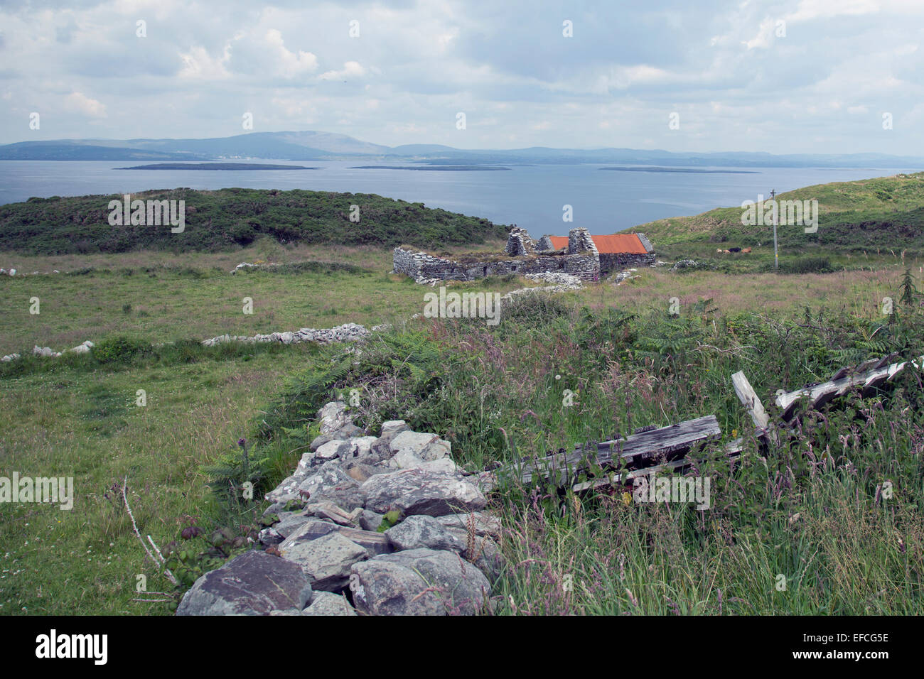 alten Mauern auf Cape klar Island, West cork Irland Stockfotohttps://www.alamy.de/image-license-details/?v=1https://www.alamy.de/stockfoto-alten-mauern-auf-cape-klar-island-west-cork-irland-78337434.html
RFEFCG5E–alten Mauern auf Cape klar Island, West cork Irland
 Irland, Cork County, Süd-West Küste, Hafen, Cape Clear Island, Mizen Head Peninsula Stockfotohttps://www.alamy.de/image-license-details/?v=1https://www.alamy.de/stockfoto-irland-cork-county-sud-west-kuste-hafen-cape-clear-island-mizen-head-peninsula-23243147.html
RMB9PPTB–Irland, Cork County, Süd-West Küste, Hafen, Cape Clear Island, Mizen Head Peninsula
 Passagiere warten darauf, mit der Cape Clear Island Ferry „Dún an Óir II“ nach Baltimore, West Cork, Irland, zu fahren. Stockfotohttps://www.alamy.de/image-license-details/?v=1https://www.alamy.de/passagiere-warten-darauf-mit-der-cape-clear-island-ferry-dn-an-ir-ii-nach-baltimore-west-cork-irland-zu-fahren-image450199655.html
RM2H4CA73–Passagiere warten darauf, mit der Cape Clear Island Ferry „Dún an Óir II“ nach Baltimore, West Cork, Irland, zu fahren.
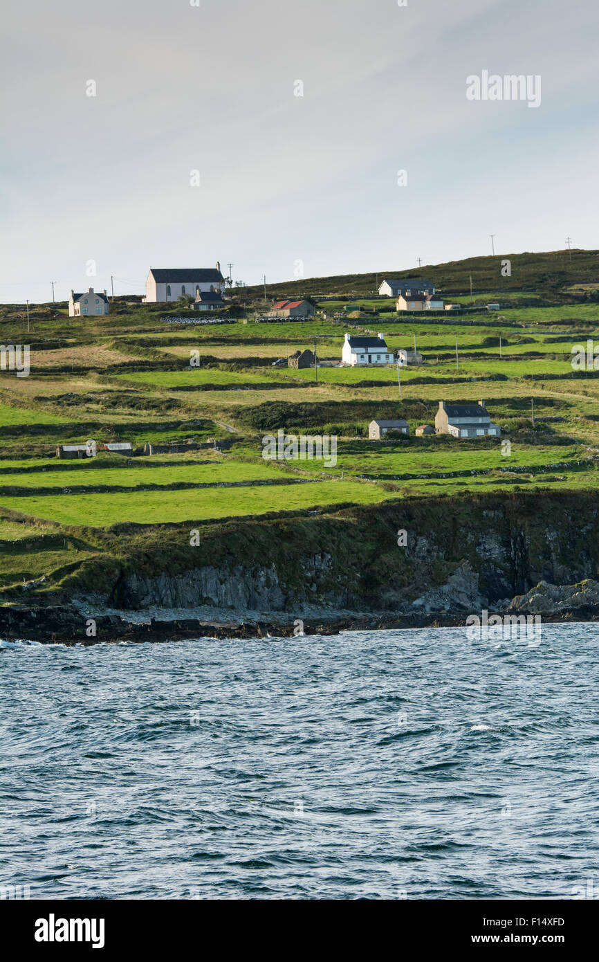 Felder und Häuser auf Cape Clear Island vor der Küste von Cork in Irland Stockfotohttps://www.alamy.de/image-license-details/?v=1https://www.alamy.de/stockfoto-felder-und-hauser-auf-cape-clear-island-vor-der-kuste-von-cork-in-irland-86775121.html
RFF14XFD–Felder und Häuser auf Cape Clear Island vor der Küste von Cork in Irland
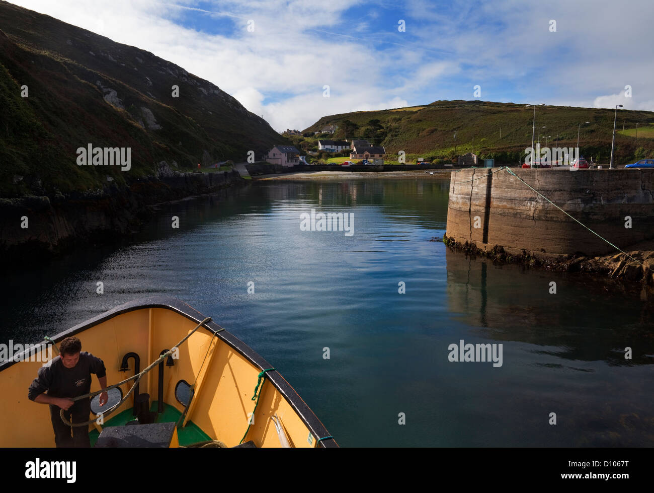 Die Fähre nähert sich der Nordhafen, Cape Clear Island, County Cork, Irland. Stockfotohttps://www.alamy.de/image-license-details/?v=1https://www.alamy.de/stockfoto-die-fahre-nahert-sich-der-nordhafen-cape-clear-island-county-cork-irland-52250684.html
RMD1067T–Die Fähre nähert sich der Nordhafen, Cape Clear Island, County Cork, Irland.
 Kleines Steinhaus auf Cape Clear Island im County Cork Stockfotohttps://www.alamy.de/image-license-details/?v=1https://www.alamy.de/stockfoto-kleines-steinhaus-auf-cape-clear-island-im-county-cork-149396772.html
RMJK1H30–Kleines Steinhaus auf Cape Clear Island im County Cork
 Sterne über dem Fenster eines Hauses auf die südlichste bewohnte Insel Cape Clear Island, Irland, vor der Küste von Co. Cork Stockfotohttps://www.alamy.de/image-license-details/?v=1https://www.alamy.de/stockfoto-sterne-uber-dem-fenster-eines-hauses-auf-die-sudlichste-bewohnte-insel-cape-clear-island-irland-vor-der-kuste-von-co-cork-40065626.html
RMC95436–Sterne über dem Fenster eines Hauses auf die südlichste bewohnte Insel Cape Clear Island, Irland, vor der Küste von Co. Cork
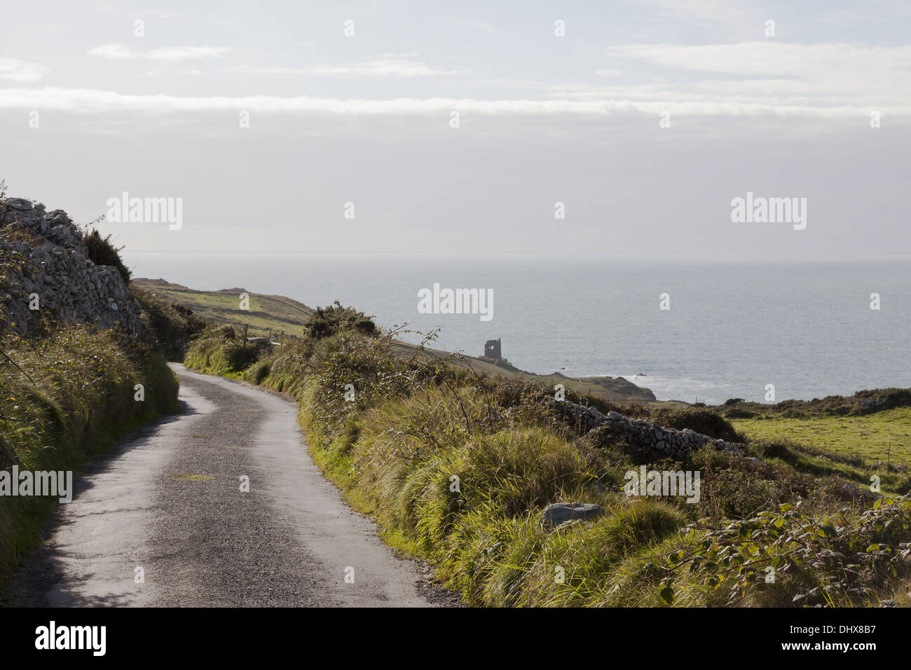 Straße von Cape Clear Island Stockfotohttps://www.alamy.de/image-license-details/?v=1https://www.alamy.de/strasse-von-cape-clear-island-image62657595.html
RFDHX8B7–Straße von Cape Clear Island
 Heiratssteine auf Cape Clear Island in der Roaringwater Bay am Wild Atlantic Way in West Cork in Irland Europa Stockfotohttps://www.alamy.de/image-license-details/?v=1https://www.alamy.de/heiratssteine-auf-cape-clear-island-in-der-roaringwater-bay-am-wild-atlantic-way-in-west-cork-in-irland-europa-image603291679.html
RF2X1E8KB–Heiratssteine auf Cape Clear Island in der Roaringwater Bay am Wild Atlantic Way in West Cork in Irland Europa
 Weiß gefärbte Häuser und kleine Felder über den Küstenklippen an der Nordostseite der Insel Cape Clear im Atlantik der Küste des County Cork. Stockfotohttps://www.alamy.de/image-license-details/?v=1https://www.alamy.de/weiss-gefarbte-hauser-und-kleine-felder-uber-den-kustenklippen-an-der-nordostseite-der-insel-cape-clear-im-atlantik-der-kuste-des-county-cork-image346837380.html
RM2B47PH8–Weiß gefärbte Häuser und kleine Felder über den Küstenklippen an der Nordostseite der Insel Cape Clear im Atlantik der Küste des County Cork.
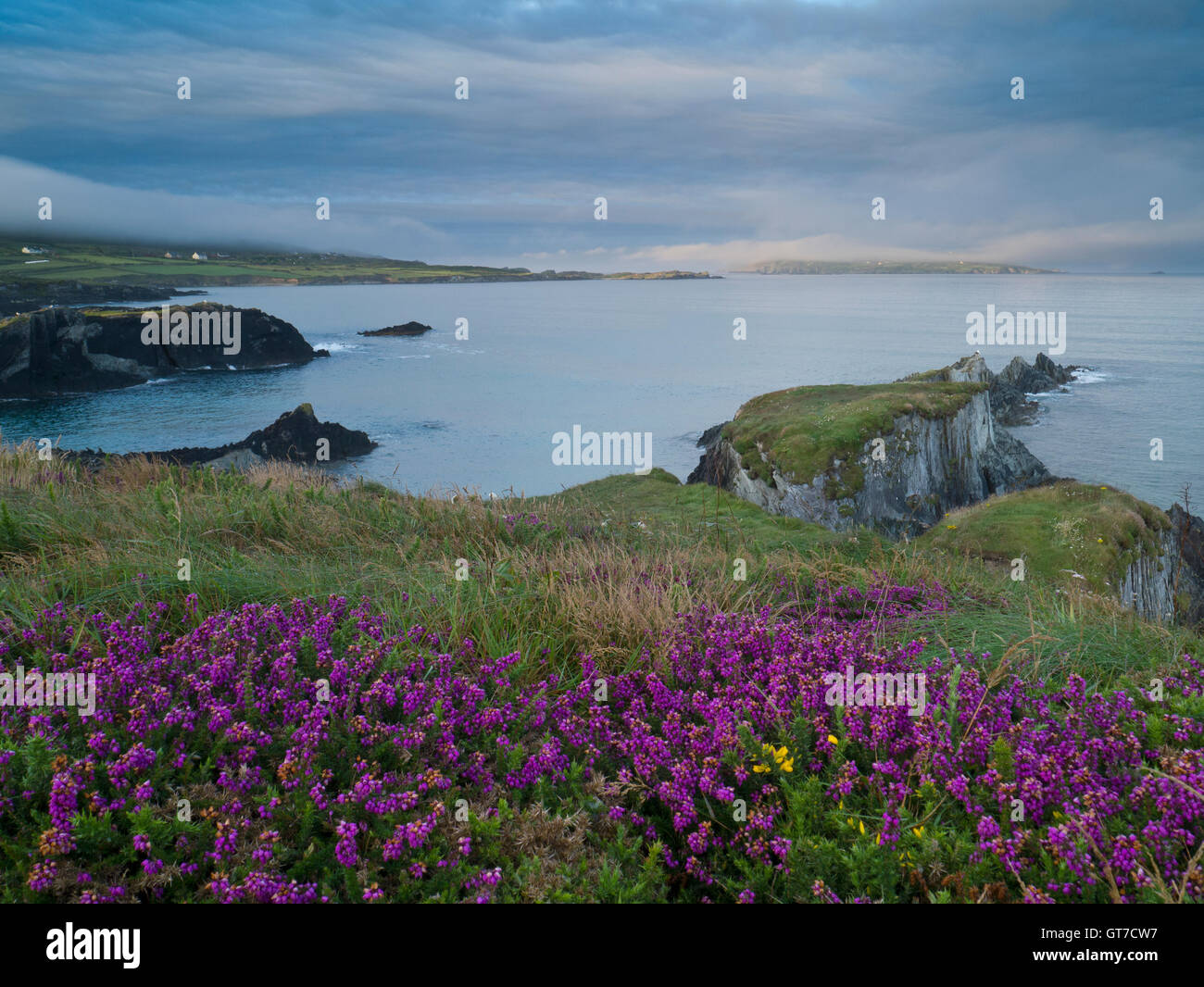 Blick vom Sherkin Island nach Cape Clear island Stockfotohttps://www.alamy.de/image-license-details/?v=1https://www.alamy.de/stockfoto-blick-vom-sherkin-island-nach-cape-clear-island-118177731.html
RMGT7CW7–Blick vom Sherkin Island nach Cape Clear island
 Türkisklares Wasser und Granitfelsen, Mumbo Island, Cape Maclear, Lake Malawi, Malawi, Afrika Stockfotohttps://www.alamy.de/image-license-details/?v=1https://www.alamy.de/stockfoto-turkisklares-wasser-und-granitfelsen-mumbo-island-cape-maclear-lake-malawi-malawi-afrika-173944195.html
RMM2YRGK–Türkisklares Wasser und Granitfelsen, Mumbo Island, Cape Maclear, Lake Malawi, Malawi, Afrika
 Cape Clear Island, Irland Stockfotohttps://www.alamy.de/image-license-details/?v=1https://www.alamy.de/stockfoto-cape-clear-island-irland-79512810.html
RFEHA3B6–Cape Clear Island, Irland
 Sommertag auf Cape Clear Island West Cork Irland. Es ist der südlichste bewohnte Teil Irlands und hat eine Bevölkerung von 147 Menschen. Stockfotohttps://www.alamy.de/image-license-details/?v=1https://www.alamy.de/sommertag-auf-cape-clear-island-west-cork-irland-es-ist-der-sudlichste-bewohnte-teil-irlands-und-hat-eine-bevolkerung-von-147-menschen-image255247923.html
RFTR7F97–Sommertag auf Cape Clear Island West Cork Irland. Es ist der südlichste bewohnte Teil Irlands und hat eine Bevölkerung von 147 Menschen.
 Blick vom Cape Clear Island Trail, County Cork, Irland Stockfotohttps://www.alamy.de/image-license-details/?v=1https://www.alamy.de/blick-vom-cape-clear-island-trail-county-cork-irland-image327682742.html
RM2A136K2–Blick vom Cape Clear Island Trail, County Cork, Irland
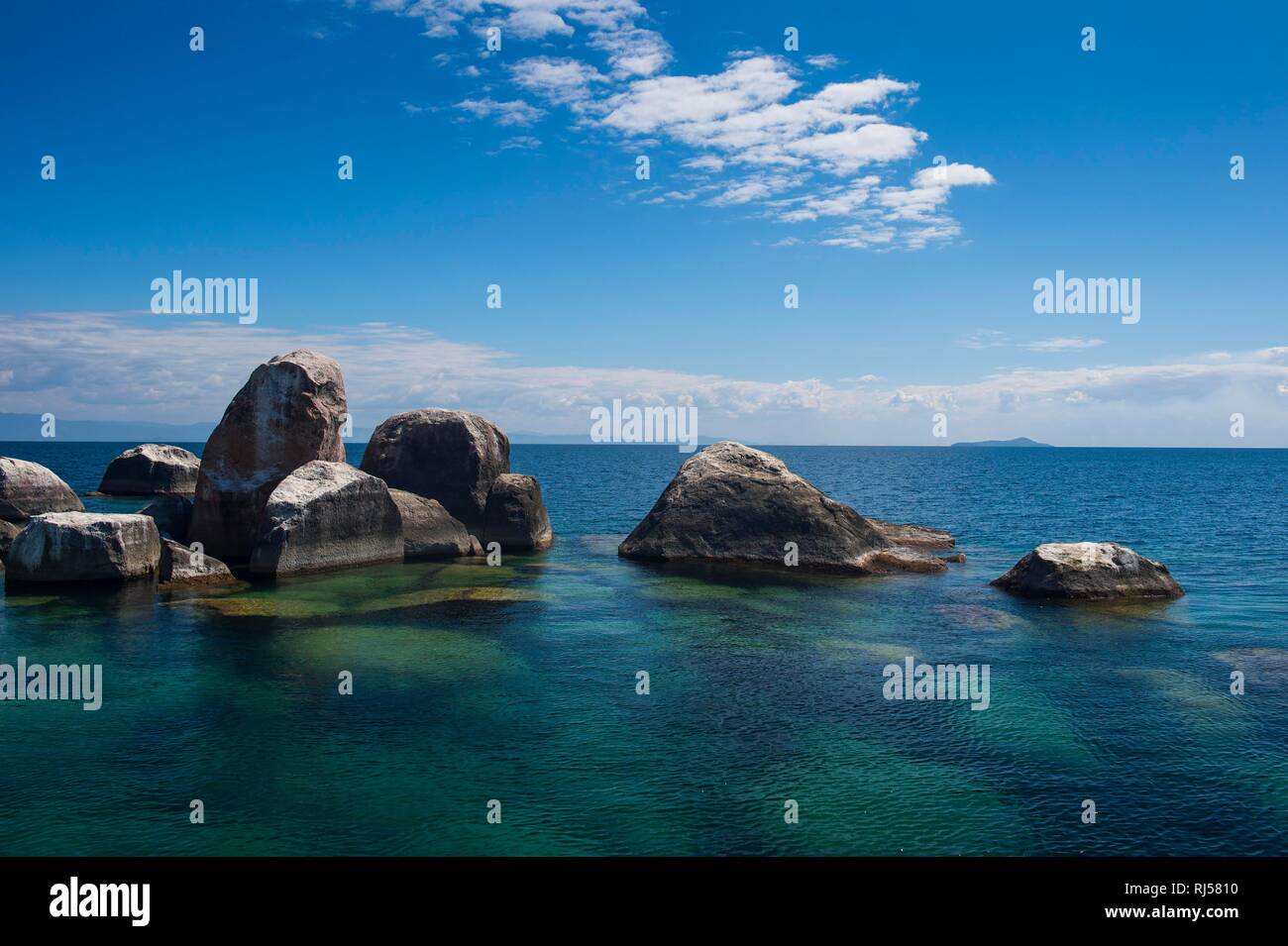 Türkisklares Wasser und Granitfelsen, Mumbo Island, Cape Maclear, Lake Malawi, Malawi Stockfotohttps://www.alamy.de/image-license-details/?v=1https://www.alamy.de/turkisklares-wasser-und-granitfelsen-mumbo-island-cape-maclear-lake-malawi-malawi-image234914652.html
RFRJ5810–Türkisklares Wasser und Granitfelsen, Mumbo Island, Cape Maclear, Lake Malawi, Malawi
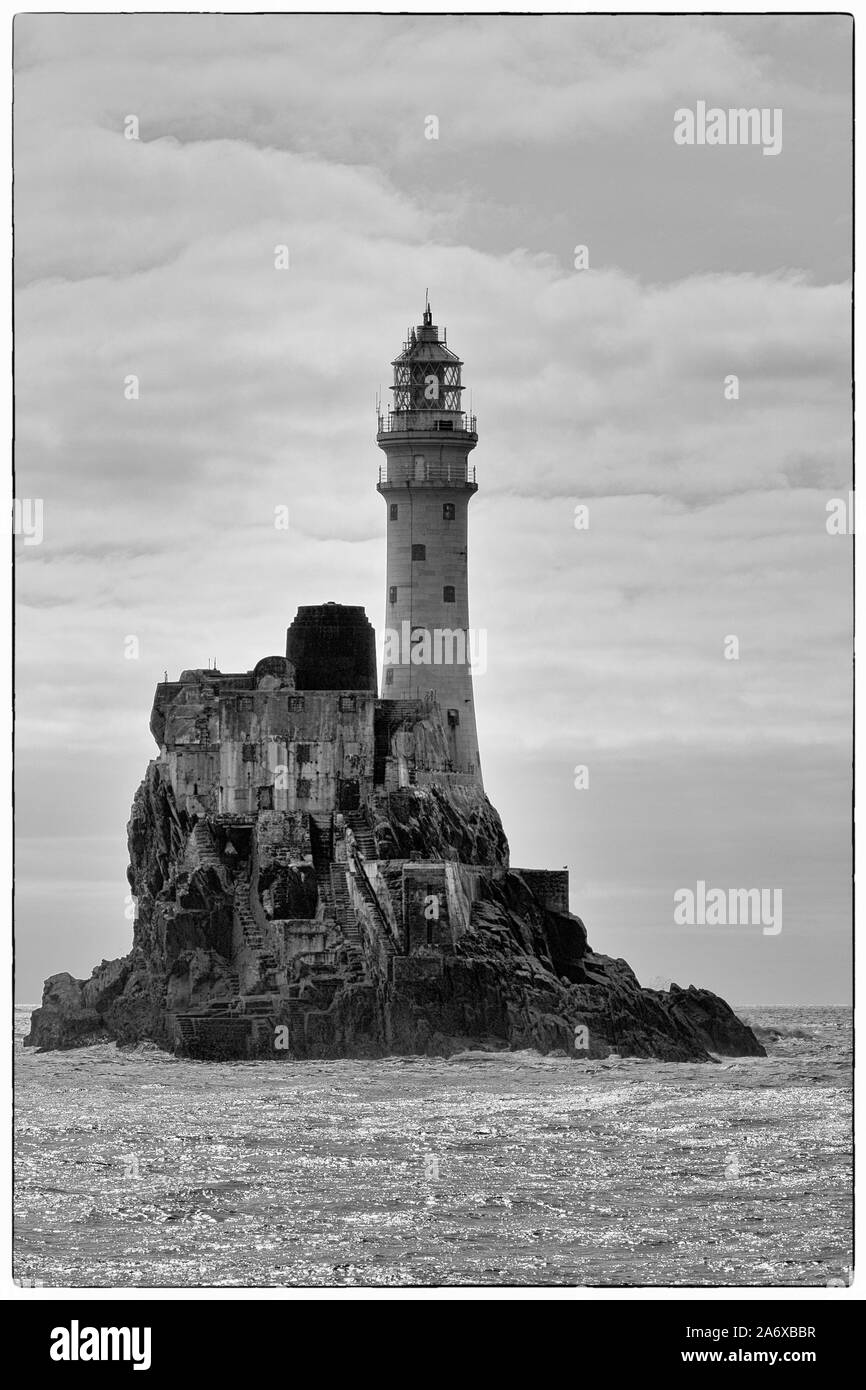 Fastnet Rock Lighthouse, Cape Clear Island, County Cork, Irland Stockfotohttps://www.alamy.de/image-license-details/?v=1https://www.alamy.de/fastnet-rock-lighthouse-cape-clear-island-county-cork-irland-image331264635.html
RM2A6XBBR–Fastnet Rock Lighthouse, Cape Clear Island, County Cork, Irland
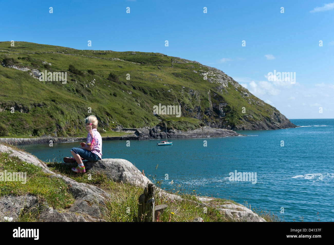 Kleine Mädchen Blick auf das Meer auf Cape Clear Island, County Cork, Irland Stockfotohttps://www.alamy.de/image-license-details/?v=1https://www.alamy.de/stockfoto-kleine-madchen-blick-auf-das-meer-auf-cape-clear-island-county-cork-irland-54114243.html
RFD4137F–Kleine Mädchen Blick auf das Meer auf Cape Clear Island, County Cork, Irland
 Südlichen Hafen, Cape Clear Island, County Cork, Irland, Republik Irland Stockfotohttps://www.alamy.de/image-license-details/?v=1https://www.alamy.de/stockfoto-sudlichen-hafen-cape-clear-island-county-cork-irland-republik-irland-144314397.html
RMJAP2DH–Südlichen Hafen, Cape Clear Island, County Cork, Irland, Republik Irland
 Abstand Schild am Kap-klar-Insel Stockfotohttps://www.alamy.de/image-license-details/?v=1https://www.alamy.de/stockfoto-abstand-schild-am-kap-klar-insel-79033112.html
RFEGG7F4–Abstand Schild am Kap-klar-Insel
 Felsigen Kap in der nördlichen Adria, Insel Pag Hintergrund Stockfotohttps://www.alamy.de/image-license-details/?v=1https://www.alamy.de/felsigen-kap-in-der-nordlichen-adria-insel-pag-hintergrund-image273621620.html
RFWW4F4M–Felsigen Kap in der nördlichen Adria, Insel Pag Hintergrund
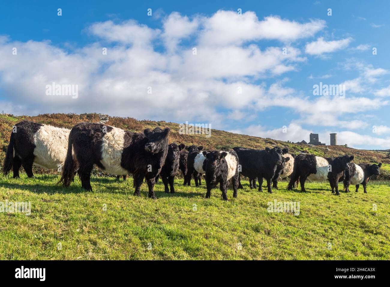 Belted Galloway Cattle (Bos taurus) auf einer Farm auf Cape Clear Island, West Cork, Irland. Stockfotohttps://www.alamy.de/image-license-details/?v=1https://www.alamy.de/belted-galloway-cattle-bos-taurus-auf-einer-farm-auf-cape-clear-island-west-cork-irland-image450199566.html
RM2H4CA3X–Belted Galloway Cattle (Bos taurus) auf einer Farm auf Cape Clear Island, West Cork, Irland.
 Silbermöwe stehend auf grasbewachsenen Schornstein des Hauses auf Cape Clear Island in West Cork Irland Stockfotohttps://www.alamy.de/image-license-details/?v=1https://www.alamy.de/stockfoto-silbermowe-stehend-auf-grasbewachsenen-schornstein-des-hauses-auf-cape-clear-island-in-west-cork-irland-86816841.html
RFF16RND–Silbermöwe stehend auf grasbewachsenen Schornstein des Hauses auf Cape Clear Island in West Cork Irland
 Alter Leuchtturm und napoleonischen Fort, Cape Clear Island, County Cork, Irland Stockfotohttps://www.alamy.de/image-license-details/?v=1https://www.alamy.de/stockfoto-alter-leuchtturm-und-napoleonischen-fort-cape-clear-island-county-cork-irland-52250563.html
RMD1063F–Alter Leuchtturm und napoleonischen Fort, Cape Clear Island, County Cork, Irland
 ! 2. Jahrhundert ruiniert Kirche auf Cape Clear Island Stockfotohttps://www.alamy.de/image-license-details/?v=1https://www.alamy.de/!-2-jahrhundert-ruiniert-kirche-auf-cape-clear-island-image150279407.html
RMJMDPWK–! 2. Jahrhundert ruiniert Kirche auf Cape Clear Island
 Cape Clear Island, Irland die meisten südlichste bewohnte Insel vor der Küste von Co. Cork Stockfotohttps://www.alamy.de/image-license-details/?v=1https://www.alamy.de/stockfoto-cape-clear-island-irland-die-meisten-sudlichste-bewohnte-insel-vor-der-kuste-von-co-cork-40064219.html
RMC9528Y–Cape Clear Island, Irland die meisten südlichste bewohnte Insel vor der Küste von Co. Cork
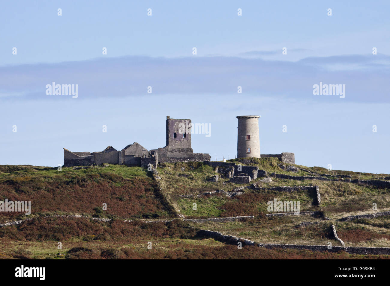 Alte Ruinen auf Cape Clear Island in Irland Stockfotohttps://www.alamy.de/image-license-details/?v=1https://www.alamy.de/stockfoto-alte-ruinen-auf-cape-clear-island-in-irland-103343272.html
RMG03KB4–Alte Ruinen auf Cape Clear Island in Irland
 Meeresbogen auf den Klippen unterhalb der Cape Clear Island in der Roaringwater Bay am Wild Atlantic Way in West Cork in Irland Europa Stockfotohttps://www.alamy.de/image-license-details/?v=1https://www.alamy.de/meeresbogen-auf-den-klippen-unterhalb-der-cape-clear-island-in-der-roaringwater-bay-am-wild-atlantic-way-in-west-cork-in-irland-europa-image603291675.html
RF2X1E8K7–Meeresbogen auf den Klippen unterhalb der Cape Clear Island in der Roaringwater Bay am Wild Atlantic Way in West Cork in Irland Europa
 Ländliches Zuhause und Telegrafenmasten auf Ackerland über Klippen, die durch den Atlantischen Ozean bei Cape Clear Island, einer irischen Insel und Gaeltacht-Gemeinde erodiert wurden. Stockfotohttps://www.alamy.de/image-license-details/?v=1https://www.alamy.de/landliches-zuhause-und-telegrafenmasten-auf-ackerland-uber-klippen-die-durch-den-atlantischen-ozean-bei-cape-clear-island-einer-irischen-insel-und-gaeltacht-gemeinde-erodiert-wurden-image346837113.html
RM2B47P7N–Ländliches Zuhause und Telegrafenmasten auf Ackerland über Klippen, die durch den Atlantischen Ozean bei Cape Clear Island, einer irischen Insel und Gaeltacht-Gemeinde erodiert wurden.
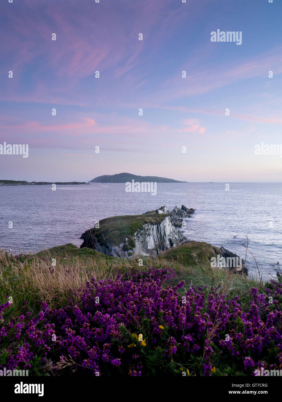 Blick vom Sherkin Island nach Cape Clear island Stockfotohttps://www.alamy.de/image-license-details/?v=1https://www.alamy.de/stockfoto-blick-vom-sherkin-island-nach-cape-clear-island-118177684.html
RMGT7CRG–Blick vom Sherkin Island nach Cape Clear island
 Vila do Maio, Maio, Kap Verde - Jan 5 2016: Sanddünen in der Wüste Insel mit einigen kleinen Vegetation und einen klaren Himmel Stockfotohttps://www.alamy.de/image-license-details/?v=1https://www.alamy.de/vila-do-maio-maio-kap-verde-jan-5-2016-sanddunen-in-der-wuste-insel-mit-einigen-kleinen-vegetation-und-einen-klaren-himmel-image221534218.html
RFPTBN4A–Vila do Maio, Maio, Kap Verde - Jan 5 2016: Sanddünen in der Wüste Insel mit einigen kleinen Vegetation und einen klaren Himmel
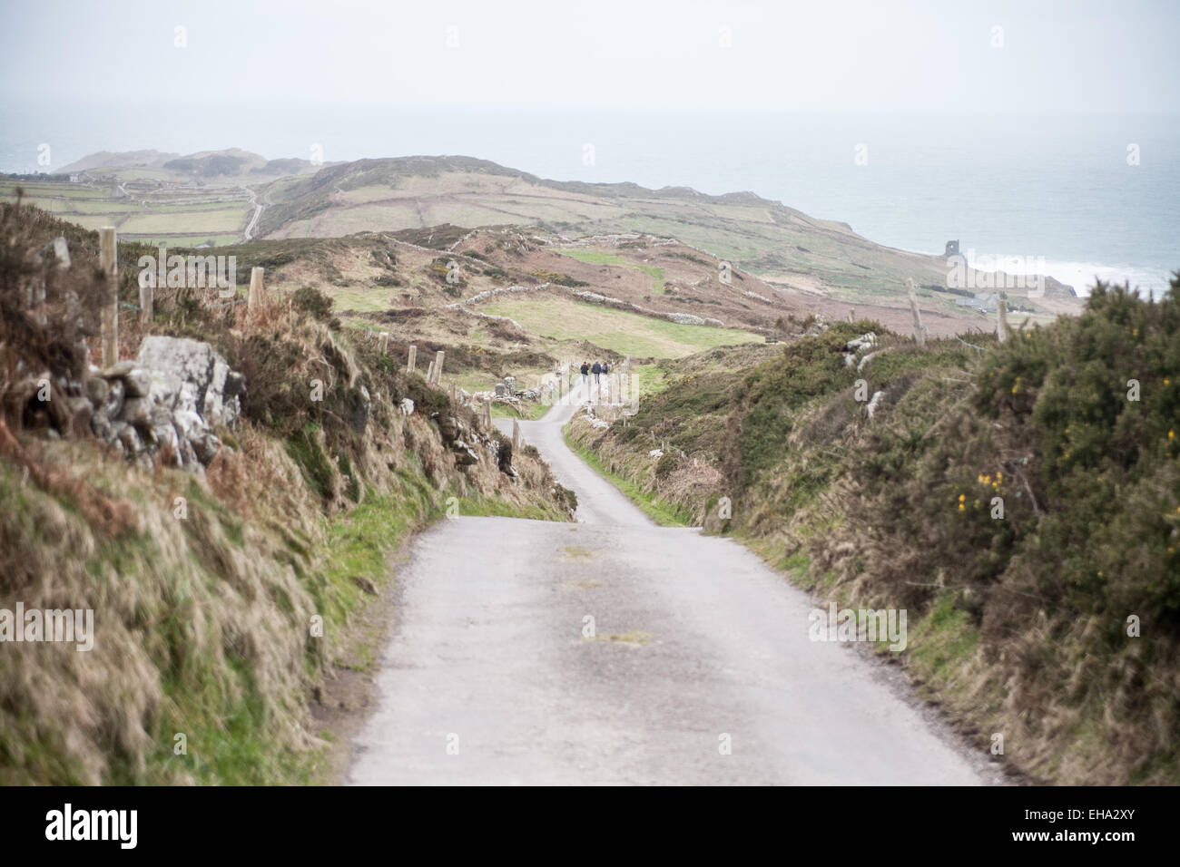 Cape Clear Island, Irland Stockfotohttps://www.alamy.de/image-license-details/?v=1https://www.alamy.de/stockfoto-cape-clear-island-irland-79512467.html
RMEHA2XY–Cape Clear Island, Irland
 Sommertag auf Cape Clear Island West Cork Irland. Es ist der südlichste bewohnte Teil Irlands und hat eine Bevölkerung von 147 Menschen. Stockfotohttps://www.alamy.de/image-license-details/?v=1https://www.alamy.de/sommertag-auf-cape-clear-island-west-cork-irland-es-ist-der-sudlichste-bewohnte-teil-irlands-und-hat-eine-bevolkerung-von-147-menschen-image255247927.html
RFTR7F9B–Sommertag auf Cape Clear Island West Cork Irland. Es ist der südlichste bewohnte Teil Irlands und hat eine Bevölkerung von 147 Menschen.
 Blick auf Cape Clear Trail, County Cork, Irland Stockfotohttps://www.alamy.de/image-license-details/?v=1https://www.alamy.de/blick-auf-cape-clear-trail-county-cork-irland-image327682567.html
RM2A136CR–Blick auf Cape Clear Trail, County Cork, Irland
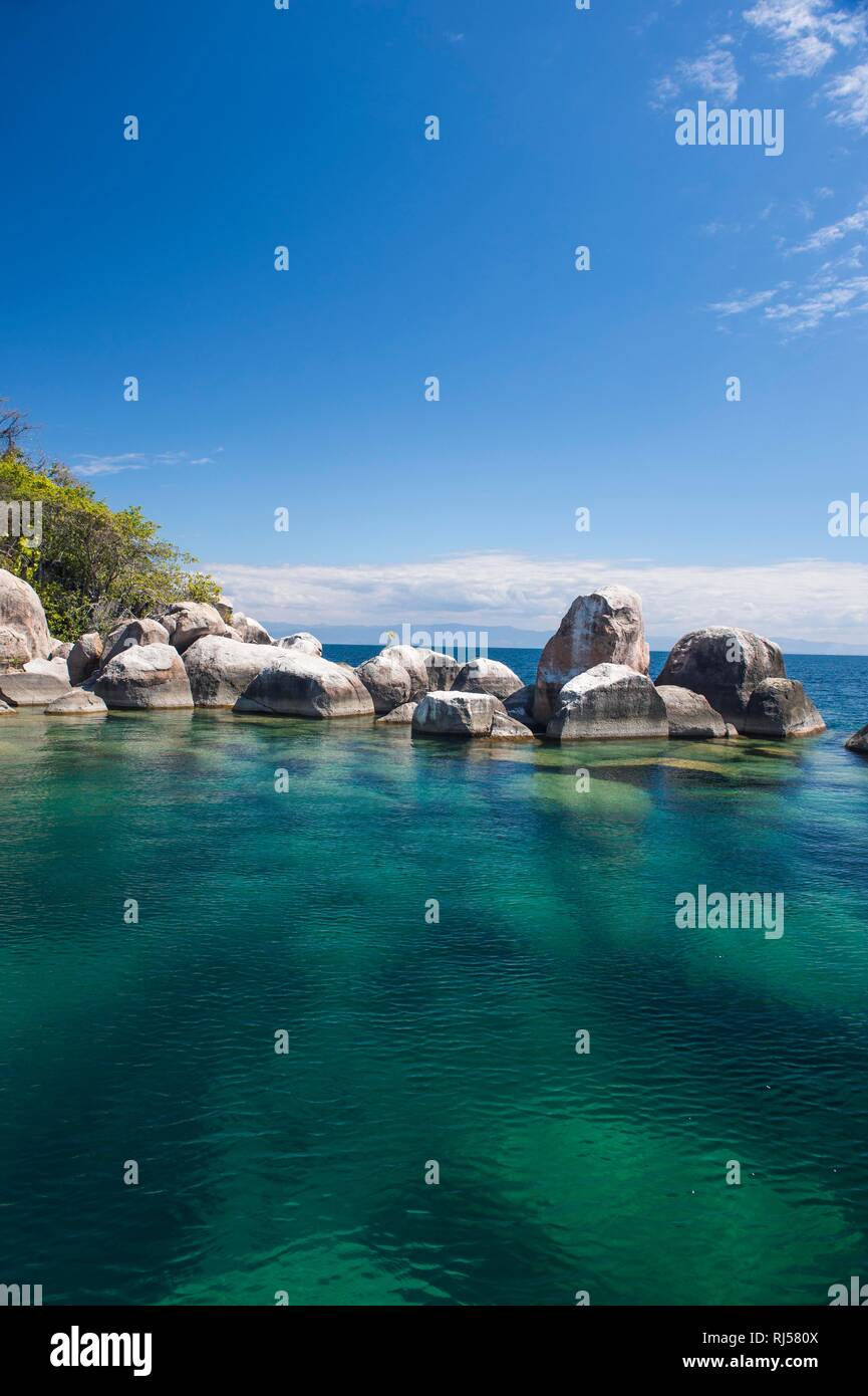 Türkisklares Wasser und Granitfelsen, Mumbo Island, Cape Maclear, Lake Malawi, Malawi Stockfotohttps://www.alamy.de/image-license-details/?v=1https://www.alamy.de/turkisklares-wasser-und-granitfelsen-mumbo-island-cape-maclear-lake-malawi-malawi-image234914650.html
RFRJ580X–Türkisklares Wasser und Granitfelsen, Mumbo Island, Cape Maclear, Lake Malawi, Malawi
 Fastnet Rock Lighthouse, Cape Clear Island, County Cork, Irland Stockfotohttps://www.alamy.de/image-license-details/?v=1https://www.alamy.de/fastnet-rock-lighthouse-cape-clear-island-county-cork-irland-image331265514.html
RM2A6XCF6–Fastnet Rock Lighthouse, Cape Clear Island, County Cork, Irland
 Eine Yacht, die am Strand Zlatni Rat (oft als Goldenes Kap oder Goldenes Horn bezeichnet) in Bol (Insel Brac), Kroatien, festgemacht ist Stockfotohttps://www.alamy.de/image-license-details/?v=1https://www.alamy.de/eine-yacht-die-am-strand-zlatni-rat-oft-als-goldenes-kap-oder-goldenes-horn-bezeichnet-in-bol-insel-brac-kroatien-festgemacht-ist-image439513783.html
RM2GF1G8R–Eine Yacht, die am Strand Zlatni Rat (oft als Goldenes Kap oder Goldenes Horn bezeichnet) in Bol (Insel Brac), Kroatien, festgemacht ist
 Südlichen Hafen, Cape Clear Island, County Cork, Irland, Republik Irland Stockfotohttps://www.alamy.de/image-license-details/?v=1https://www.alamy.de/stockfoto-sudlichen-hafen-cape-clear-island-county-cork-irland-republik-irland-138510869.html
RMJ19M0N–Südlichen Hafen, Cape Clear Island, County Cork, Irland, Republik Irland
 Fox Handschuh Kap klar Island, Irland Stockfotohttps://www.alamy.de/image-license-details/?v=1https://www.alamy.de/stockfoto-fox-handschuh-kap-klar-island-irland-79705084.html
RFEHJTJ4–Fox Handschuh Kap klar Island, Irland
 Kristallklares Wasser und sauberen Strand am Atlantischen Ozean. calhau Stadt, erloschenen Vulkan Krater peak in Kap Verde, Insel Sao Vicente Stockfotohttps://www.alamy.de/image-license-details/?v=1https://www.alamy.de/stockfoto-kristallklares-wasser-und-sauberen-strand-am-atlantischen-ozean-calhau-stadt-erloschenen-vulkan-krater-peak-in-kap-verde-insel-sao-vicente-161926878.html
RFKBCBAP–Kristallklares Wasser und sauberen Strand am Atlantischen Ozean. calhau Stadt, erloschenen Vulkan Krater peak in Kap Verde, Insel Sao Vicente
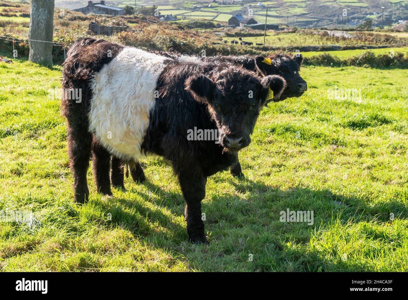 Belted Galloway Cattle (Bos taurus) auf einer Farm auf Cape Clear Island, West Cork, Irland. Stockfotohttps://www.alamy.de/image-license-details/?v=1https://www.alamy.de/belted-galloway-cattle-bos-taurus-auf-einer-farm-auf-cape-clear-island-west-cork-irland-image450199555.html
RM2H4CA3F–Belted Galloway Cattle (Bos taurus) auf einer Farm auf Cape Clear Island, West Cork, Irland.
 Fastnet Rock und Leuchtturm gesehen ab Cape Clear Island, West Cork, Irland Stockfotohttps://www.alamy.de/image-license-details/?v=1https://www.alamy.de/stockfoto-fastnet-rock-und-leuchtturm-gesehen-ab-cape-clear-island-west-cork-irland-86775128.html
RFF14XFM–Fastnet Rock und Leuchtturm gesehen ab Cape Clear Island, West Cork, Irland
 Alter Leuchtturm und napoleonischen Fort, Cape Clear Island, County Cork, Irland Stockfotohttps://www.alamy.de/image-license-details/?v=1https://www.alamy.de/stockfoto-alter-leuchtturm-und-napoleonischen-fort-cape-clear-island-county-cork-irland-52250415.html
RMD105X7–Alter Leuchtturm und napoleonischen Fort, Cape Clear Island, County Cork, Irland
 Cape Clear Island-Fähre, die von Baltimore in West Cork segelt Stockfotohttps://www.alamy.de/image-license-details/?v=1https://www.alamy.de/stockfoto-cape-clear-island-fahre-die-von-baltimore-in-west-cork-segelt-149396616.html
RMJK1GWC–Cape Clear Island-Fähre, die von Baltimore in West Cork segelt
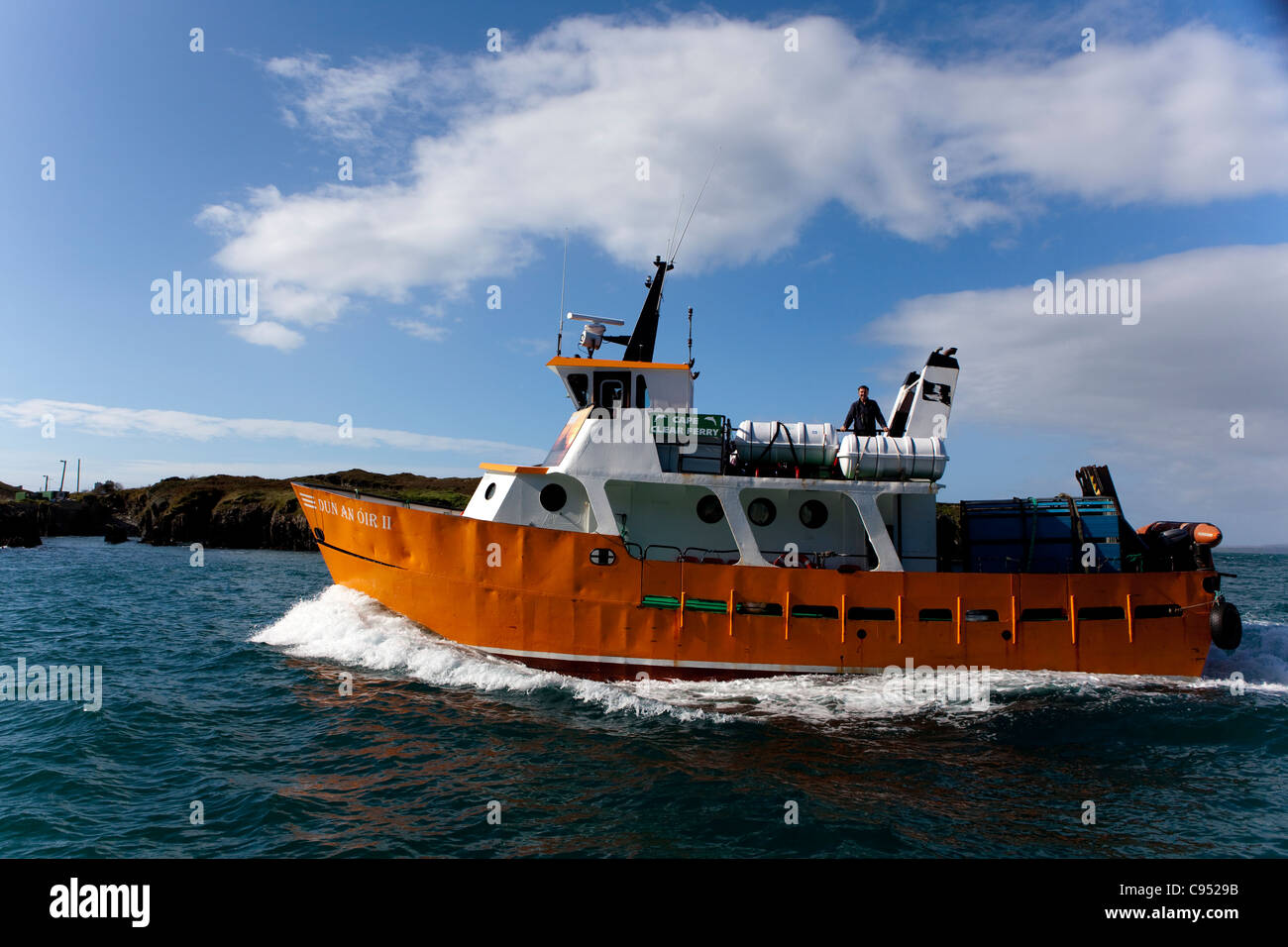 Dun eine Oir II - Fähre, die südlichste bewohnte Insel Cape Clear Island, Irland, vor der Küste von Co. Cork angekommen Stockfotohttps://www.alamy.de/image-license-details/?v=1https://www.alamy.de/stockfoto-dun-eine-oir-ii-fahre-die-sudlichste-bewohnte-insel-cape-clear-island-irland-vor-der-kuste-von-co-cork-angekommen-40064231.html
RMC9529B–Dun eine Oir II - Fähre, die südlichste bewohnte Insel Cape Clear Island, Irland, vor der Küste von Co. Cork angekommen
 Seitlicher Blick auf Valentia Marina und Ritterstadt vom Hafen von Valencia bei ruhigem, friedlichem Wetter. Co Kerry, Irland. Stockfotohttps://www.alamy.de/image-license-details/?v=1https://www.alamy.de/seitlicher-blick-auf-valentia-marina-und-ritterstadt-vom-hafen-von-valencia-bei-ruhigem-friedlichem-wetter-co-kerry-irland-image526849677.html
RF2NH423W–Seitlicher Blick auf Valentia Marina und Ritterstadt vom Hafen von Valencia bei ruhigem, friedlichem Wetter. Co Kerry, Irland.
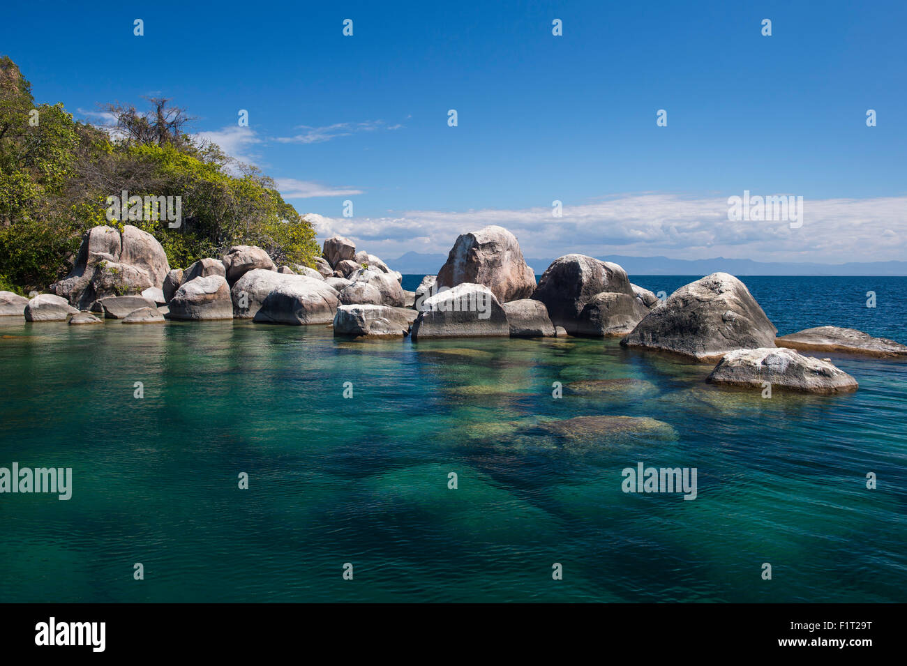 Türkis klarem Wasser und Granit Felsen, Mumbo Island, Cape Maclear, Lake Malawi, Malawi, Afrika Stockfotohttps://www.alamy.de/image-license-details/?v=1https://www.alamy.de/stockfoto-turkis-klarem-wasser-und-granit-felsen-mumbo-island-cape-maclear-lake-malawi-malawi-afrika-87195188.html
RMF1T29T–Türkis klarem Wasser und Granit Felsen, Mumbo Island, Cape Maclear, Lake Malawi, Malawi, Afrika
 Ein Hummerfischerboot vor der felsigen Küste von Cape Clear Island Ireland Stockfotohttps://www.alamy.de/image-license-details/?v=1https://www.alamy.de/stockfoto-ein-hummerfischerboot-vor-der-felsigen-kuste-von-cape-clear-island-ireland-54785194.html
RMD53K22–Ein Hummerfischerboot vor der felsigen Küste von Cape Clear Island Ireland
 Rocky Fisch geformt Cape im türkisblauen Meer, klare blaue Wasser auf der Insel Dugi Otok in Kroatien Stockfotohttps://www.alamy.de/image-license-details/?v=1https://www.alamy.de/rocky-fisch-geformt-cape-im-turkisblauen-meer-klare-blaue-wasser-auf-der-insel-dugi-otok-in-kroatien-image260325612.html
RFW3ERY8–Rocky Fisch geformt Cape im türkisblauen Meer, klare blaue Wasser auf der Insel Dugi Otok in Kroatien
 Griechenland, Insel Kea Tzia. Leuchtturm auf einem Kap, Segelboot Segeln, klaren blauen Himmel und geriffelte Meerwasser Hintergrund Stockfotohttps://www.alamy.de/image-license-details/?v=1https://www.alamy.de/griechenland-insel-kea-tzia-leuchtturm-auf-einem-kap-segelboot-segeln-klaren-blauen-himmel-und-geriffelte-meerwasser-hintergrund-image367873554.html
RF2CAE2D6–Griechenland, Insel Kea Tzia. Leuchtturm auf einem Kap, Segelboot Segeln, klaren blauen Himmel und geriffelte Meerwasser Hintergrund
 Wellen, die gegen die Felsen an Cape Clear Island, Irland Stockfotohttps://www.alamy.de/image-license-details/?v=1https://www.alamy.de/stockfoto-wellen-die-gegen-die-felsen-an-cape-clear-island-irland-79512782.html
RFEHA3A6–Wellen, die gegen die Felsen an Cape Clear Island, Irland
 Sommertag auf Cape Clear Island West Cork Irland. Es ist der südlichste bewohnte Teil Irlands und hat eine Bevölkerung von 147 Menschen. Stockfotohttps://www.alamy.de/image-license-details/?v=1https://www.alamy.de/sommertag-auf-cape-clear-island-west-cork-irland-es-ist-der-sudlichste-bewohnte-teil-irlands-und-hat-eine-bevolkerung-von-147-menschen-image255247906.html
RFTR7F8J–Sommertag auf Cape Clear Island West Cork Irland. Es ist der südlichste bewohnte Teil Irlands und hat eine Bevölkerung von 147 Menschen.
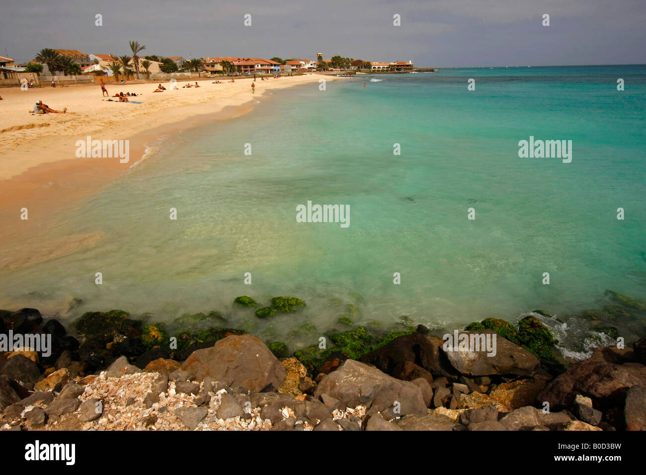 die Strand und klares Wasser auf der Insel Santa Maria Sal Kapverden Stockfotohttps://www.alamy.de/image-license-details/?v=1https://www.alamy.de/stockfoto-die-strand-und-klares-wasser-auf-der-insel-santa-maria-sal-kapverden-17498429.html
RMB0D3BW–die Strand und klares Wasser auf der Insel Santa Maria Sal Kapverden
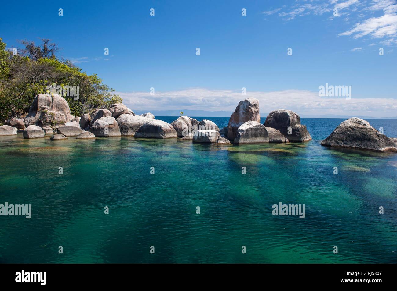 Türkisklares Wasser und Granitfelsen, Mumbo Island, Cape Maclear, Lake Malawi, Malawi Stockfotohttps://www.alamy.de/image-license-details/?v=1https://www.alamy.de/turkisklares-wasser-und-granitfelsen-mumbo-island-cape-maclear-lake-malawi-malawi-image234914651.html
RFRJ580Y–Türkisklares Wasser und Granitfelsen, Mumbo Island, Cape Maclear, Lake Malawi, Malawi
 Fastnet Rock Lighthouse, Cape Clear Island, County Cork, Irland Stockfotohttps://www.alamy.de/image-license-details/?v=1https://www.alamy.de/fastnet-rock-lighthouse-cape-clear-island-county-cork-irland-image331265484.html
RM2A6XCE4–Fastnet Rock Lighthouse, Cape Clear Island, County Cork, Irland
 Blick auf die Fähre, die durch die Gewässer um Cape Clear auf Sherkin Island fährt, vom Dorf Baltimore bei Sonnenuntergang; West Cork, Irland Stockfotohttps://www.alamy.de/image-license-details/?v=1https://www.alamy.de/blick-auf-die-fahre-die-durch-die-gewasser-um-cape-clear-auf-sherkin-island-fahrt-vom-dorf-baltimore-bei-sonnenuntergang-west-cork-irland-image553767186.html
RF2R4X7KE–Blick auf die Fähre, die durch die Gewässer um Cape Clear auf Sherkin Island fährt, vom Dorf Baltimore bei Sonnenuntergang; West Cork, Irland
 Südlichen Hafen, Cape Clear Island, County Cork, Irland, Republik Irland Stockfotohttps://www.alamy.de/image-license-details/?v=1https://www.alamy.de/stockfoto-sudlichen-hafen-cape-clear-island-county-cork-irland-republik-irland-139459521.html
RMJ2TX15–Südlichen Hafen, Cape Clear Island, County Cork, Irland, Republik Irland
 O'Driscoll Clan Gathering 2019 Cape Clear Island Stockfotohttps://www.alamy.de/image-license-details/?v=1https://www.alamy.de/odriscoll-clan-gathering-2019-cape-clear-island-image274664880.html
RFWXT1T0–O'Driscoll Clan Gathering 2019 Cape Clear Island
 Rock Hill in Cape D'Aguilar Marine Reserve liegt auf der Insel Hong Kong, coole Landschaft mit weinpflanze und strahlend blauer Himmel, interessante Felsformation Stockfotohttps://www.alamy.de/image-license-details/?v=1https://www.alamy.de/rock-hill-in-cape-daguilar-marine-reserve-liegt-auf-der-insel-hong-kong-coole-landschaft-mit-weinpflanze-und-strahlend-blauer-himmel-interessante-felsformation-image215535599.html
RFPEJDRY–Rock Hill in Cape D'Aguilar Marine Reserve liegt auf der Insel Hong Kong, coole Landschaft mit weinpflanze und strahlend blauer Himmel, interessante Felsformation
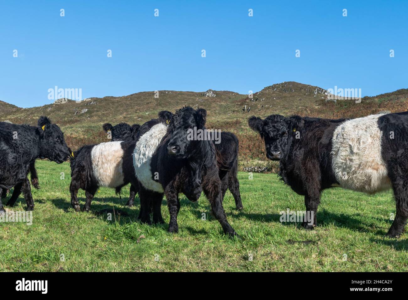 Belted Galloway Cattle (Bos taurus) auf einer Farm auf Cape Clear Island, West Cork, Irland. Stockfotohttps://www.alamy.de/image-license-details/?v=1https://www.alamy.de/belted-galloway-cattle-bos-taurus-auf-einer-farm-auf-cape-clear-island-west-cork-irland-image450199539.html
RM2H4CA2Y–Belted Galloway Cattle (Bos taurus) auf einer Farm auf Cape Clear Island, West Cork, Irland.
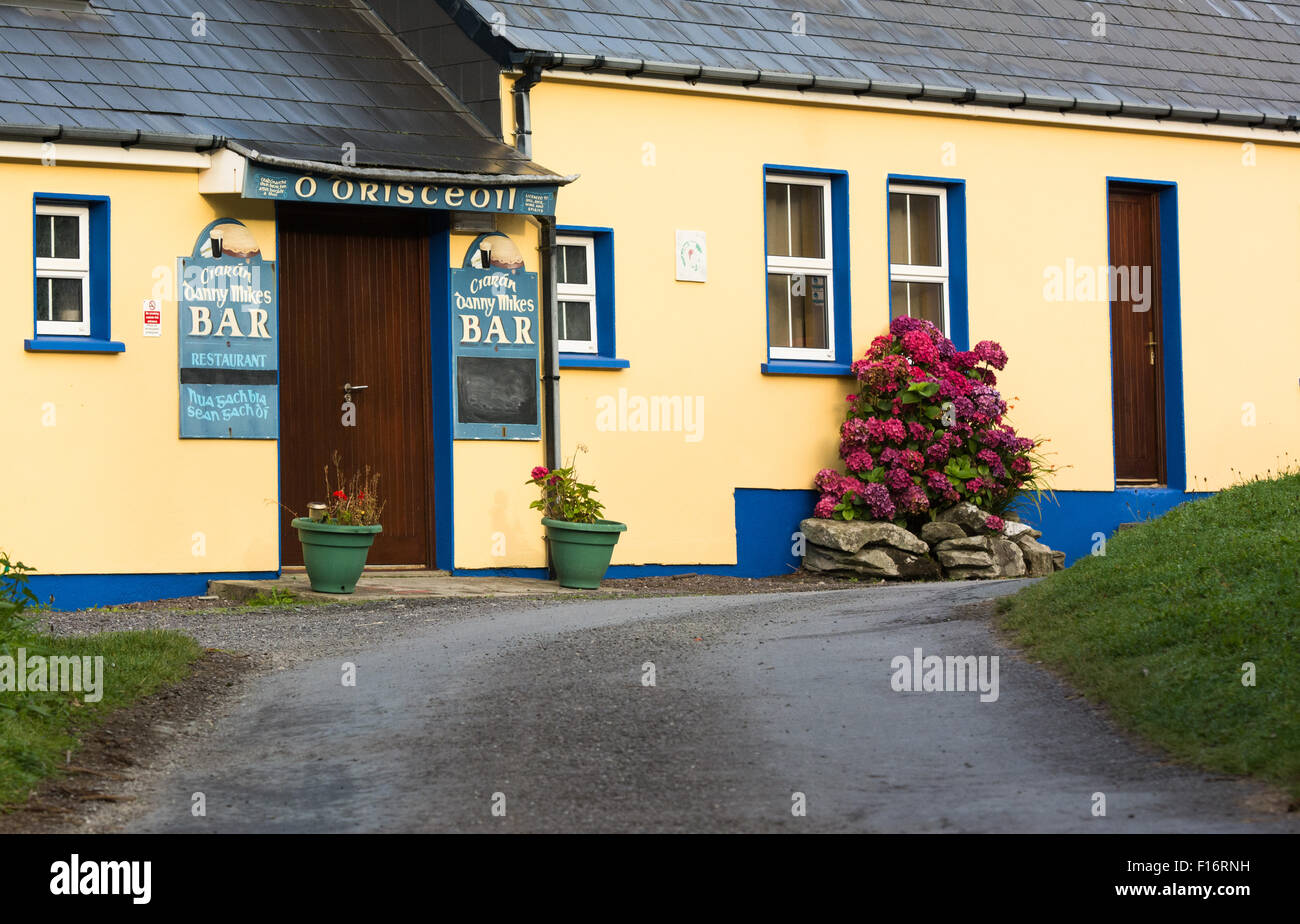 O'Drisceoil Pub auf Cape Clear Island vor der Küste von Cork in Irland Stockfotohttps://www.alamy.de/image-license-details/?v=1https://www.alamy.de/stockfoto-odrisceoil-pub-auf-cape-clear-island-vor-der-kuste-von-cork-in-irland-86816845.html
RFF16RNH–O'Drisceoil Pub auf Cape Clear Island vor der Küste von Cork in Irland
 Der Nordhafen, Gaeltacht oder irischen sprechen Cape Clear Island oder Oileán Chléire, County Cork, Irland. Stockfotohttps://www.alamy.de/image-license-details/?v=1https://www.alamy.de/stockfoto-der-nordhafen-gaeltacht-oder-irischen-sprechen-cape-clear-island-oder-oilen-chlire-county-cork-irland-86220236.html
RMF07JP4–Der Nordhafen, Gaeltacht oder irischen sprechen Cape Clear Island oder Oileán Chléire, County Cork, Irland.
 Cape Clear Island-Fähre, die von Baltimore in West Cork segelt Stockfotohttps://www.alamy.de/image-license-details/?v=1https://www.alamy.de/stockfoto-cape-clear-island-fahre-die-von-baltimore-in-west-cork-segelt-149396593.html
RMJK1GTH–Cape Clear Island-Fähre, die von Baltimore in West Cork segelt
 Dun eine Oir II - Fähre, die südlichste bewohnte Insel Cape Clear Island, Irland, vor der Küste von Co. Cork angekommen Stockfotohttps://www.alamy.de/image-license-details/?v=1https://www.alamy.de/stockfoto-dun-eine-oir-ii-fahre-die-sudlichste-bewohnte-insel-cape-clear-island-irland-vor-der-kuste-von-co-cork-angekommen-40064224.html
RMC95294–Dun eine Oir II - Fähre, die südlichste bewohnte Insel Cape Clear Island, Irland, vor der Küste von Co. Cork angekommen
 Beobachten Sie den Tower auf Clear Island. Atlantik, Südwestirland. Stockfotohttps://www.alamy.de/image-license-details/?v=1https://www.alamy.de/beobachten-sie-den-tower-auf-clear-island-atlantik-sudwestirland-image526849578.html
RF2NH420A–Beobachten Sie den Tower auf Clear Island. Atlantik, Südwestirland.
 Risse auf klares Eis in der Nähe von Baikal Kap und Eiszapfen von Splash Eis auf küstennahen Felsen. Der Baikalsee. Olchon Stockfotohttps://www.alamy.de/image-license-details/?v=1https://www.alamy.de/stockfoto-risse-auf-klares-eis-in-der-nahe-von-baikal-kap-und-eiszapfen-von-splash-eis-auf-kustennahen-felsen-der-baikalsee-olchon-136175738.html
RFHWF9F6–Risse auf klares Eis in der Nähe von Baikal Kap und Eiszapfen von Splash Eis auf küstennahen Felsen. Der Baikalsee. Olchon
 Cape Clear Island ferry, Dun ein Óir II, Rückkehr von Cape Clear Island nach Baltimore in West Cork Stockfotohttps://www.alamy.de/image-license-details/?v=1https://www.alamy.de/stockfoto-cape-clear-island-ferry-dun-ein-ir-ii-ruckkehr-von-cape-clear-island-nach-baltimore-in-west-cork-54785436.html
RMD53KAM–Cape Clear Island ferry, Dun ein Óir II, Rückkehr von Cape Clear Island nach Baltimore in West Cork
 Rocky Fisch geformt Cape im türkisblauen Meer, klare blaue Wasser auf der Insel Dugi Otok in Kroatien Stockfotohttps://www.alamy.de/image-license-details/?v=1https://www.alamy.de/rocky-fisch-geformt-cape-im-turkisblauen-meer-klare-blaue-wasser-auf-der-insel-dugi-otok-in-kroatien-image260325786.html
RFW3ET5E–Rocky Fisch geformt Cape im türkisblauen Meer, klare blaue Wasser auf der Insel Dugi Otok in Kroatien
 Lighthouse Gebäude auf einer felsigen Klippe. IOS Insel Griechenland. Steinfeuer auf einem Kap am Hafeneingang, klarer blauer Himmel im Hintergrund, ruhiges Meer Stockfotohttps://www.alamy.de/image-license-details/?v=1https://www.alamy.de/lighthouse-gebaude-auf-einer-felsigen-klippe-ios-insel-griechenland-steinfeuer-auf-einem-kap-am-hafeneingang-klarer-blauer-himmel-im-hintergrund-ruhiges-meer-image434959603.html
RF2G7J3BF–Lighthouse Gebäude auf einer felsigen Klippe. IOS Insel Griechenland. Steinfeuer auf einem Kap am Hafeneingang, klarer blauer Himmel im Hintergrund, ruhiges Meer
 Die Grotte am Hafen von Cape Clear Island, Cape Clear, Irland Stockfotohttps://www.alamy.de/image-license-details/?v=1https://www.alamy.de/stockfoto-die-grotte-am-hafen-von-cape-clear-island-cape-clear-irland-79512471.html
RMEHA2Y3–Die Grotte am Hafen von Cape Clear Island, Cape Clear, Irland
 Sommertag auf Cape Clear Island West Cork Irland. Es ist der südlichste bewohnte Teil Irlands und hat eine Bevölkerung von 147 Menschen. Stockfotohttps://www.alamy.de/image-license-details/?v=1https://www.alamy.de/sommertag-auf-cape-clear-island-west-cork-irland-es-ist-der-sudlichste-bewohnte-teil-irlands-und-hat-eine-bevolkerung-von-147-menschen-image255247904.html
RFTR7F8G–Sommertag auf Cape Clear Island West Cork Irland. Es ist der südlichste bewohnte Teil Irlands und hat eine Bevölkerung von 147 Menschen.
 Sandstrand und kristallklarem Wasser an den Atlantischen Ozean. Kap Verde, Afrika. Insel Sao Vicente Stockfotohttps://www.alamy.de/image-license-details/?v=1https://www.alamy.de/stockfoto-sandstrand-und-kristallklarem-wasser-an-den-atlantischen-ozean-kap-verde-afrika-insel-sao-vicente-161926885.html
RFKBCBB1–Sandstrand und kristallklarem Wasser an den Atlantischen Ozean. Kap Verde, Afrika. Insel Sao Vicente
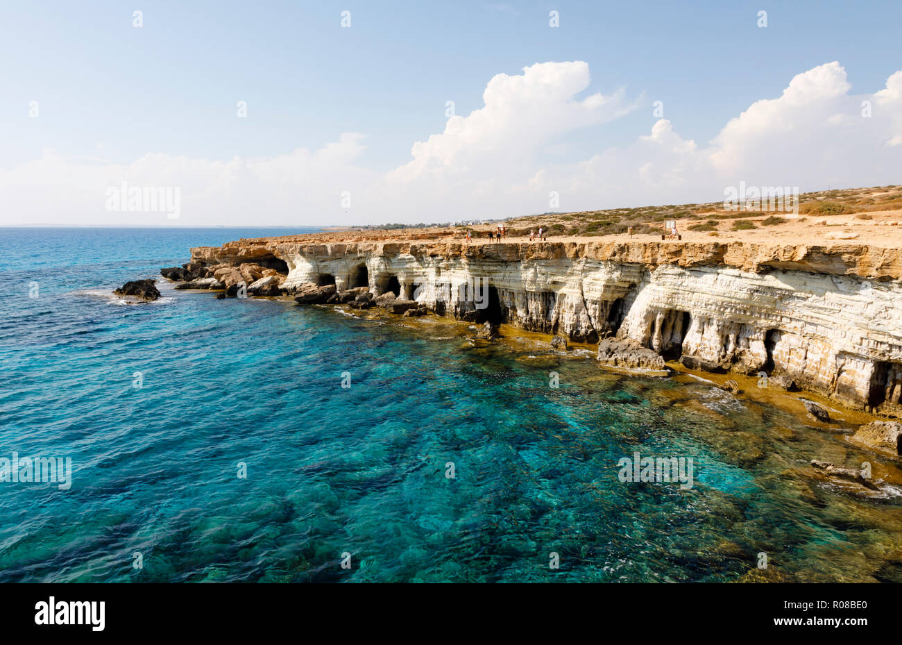 Seacaves am Kap Greco, Zypern Oktober 2018 Stockfotohttps://www.alamy.de/image-license-details/?v=1https://www.alamy.de/seacaves-am-kap-greco-zypern-oktober-2018-image223919416.html
RMR08BE0–Seacaves am Kap Greco, Zypern Oktober 2018
 Fastnet Rock Lighthouse, Cape Clear Island, County Cork, Irland Stockfotohttps://www.alamy.de/image-license-details/?v=1https://www.alamy.de/fastnet-rock-lighthouse-cape-clear-island-county-cork-irland-image331265494.html
RM2A6XCEE–Fastnet Rock Lighthouse, Cape Clear Island, County Cork, Irland
 Blick auf die Fähre, die durch die Gewässer um Cape Clear auf Sherkin Island fährt, vom Dorf Baltimore bei Sonnenuntergang; West Cork, Irland Stockfotohttps://www.alamy.de/image-license-details/?v=1https://www.alamy.de/blick-auf-die-fahre-die-durch-die-gewasser-um-cape-clear-auf-sherkin-island-fahrt-vom-dorf-baltimore-bei-sonnenuntergang-west-cork-irland-image553767197.html
RF2R4X7KW–Blick auf die Fähre, die durch die Gewässer um Cape Clear auf Sherkin Island fährt, vom Dorf Baltimore bei Sonnenuntergang; West Cork, Irland
 North Harbour, Cape Clear Island, County Cork, Irland, Republik Irland Stockfotohttps://www.alamy.de/image-license-details/?v=1https://www.alamy.de/stockfoto-north-harbour-cape-clear-island-county-cork-irland-republik-irland-140748441.html
RMJ4YJ21–North Harbour, Cape Clear Island, County Cork, Irland, Republik Irland
 O'Driscoll Clan Gathering 2019 Cape Clear Island Stockfotohttps://www.alamy.de/image-license-details/?v=1https://www.alamy.de/odriscoll-clan-gathering-2019-cape-clear-island-image274664879.html
RFWXT1RY–O'Driscoll Clan Gathering 2019 Cape Clear Island
 Santo Antao, Kap Verde - Jan 5 2016: Typische abend Insel Szene mit trüben staubigen Klippen und das kristallklare blaue Meer mit den Gebäuden der Stockfotohttps://www.alamy.de/image-license-details/?v=1https://www.alamy.de/santo-antao-kap-verde-jan-5-2016-typische-abend-insel-szene-mit-truben-staubigen-klippen-und-das-kristallklare-blaue-meer-mit-den-gebauden-der-image221535741.html
RFPTBR2N–Santo Antao, Kap Verde - Jan 5 2016: Typische abend Insel Szene mit trüben staubigen Klippen und das kristallklare blaue Meer mit den Gebäuden der