Bärenzahn national landschaftlich nebenstraße Stockfotos & Bilder
(417)bärenzahn national landschaftlich nebenstraße-Stockvideoclips ansehenSchnellfilter:
Bärenzahn national landschaftlich nebenstraße Stockfotos & Bilder
 WY 03741-00 ... WYOMING - Langer See, neben dem Beartooth Scenic Byway in der beartooth Bereich Berge von Shoshone National Forest. Stockfotohttps://www.alamy.de/image-license-details/?v=1https://www.alamy.de/wy-03741-00-wyoming-langer-see-neben-dem-beartooth-scenic-byway-in-der-beartooth-bereich-berge-von-shoshone-national-forest-image236487016.html
RMRMMWGT–WY 03741-00 ... WYOMING - Langer See, neben dem Beartooth Scenic Byway in der beartooth Bereich Berge von Shoshone National Forest.
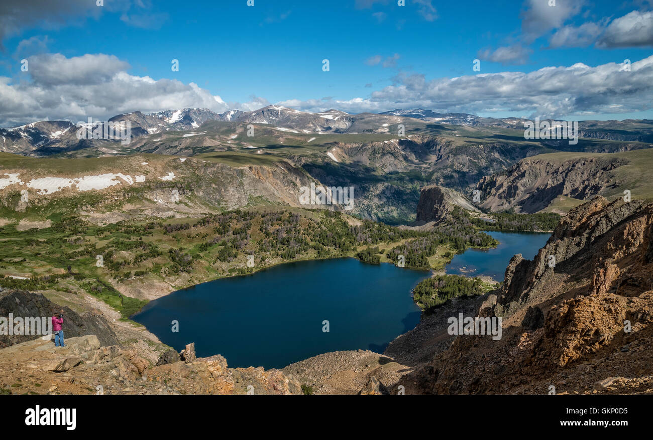 Twin Lakes, über den Beartooth Highway, ein National Scenic Byways All-American Road; Wyoming. Stockfotohttps://www.alamy.de/image-license-details/?v=1https://www.alamy.de/stockfoto-twin-lakes-uber-den-beartooth-highway-ein-national-scenic-byways-all-american-road-wyoming-115423985.html
RMGKP0D5–Twin Lakes, über den Beartooth Highway, ein National Scenic Byways All-American Road; Wyoming.
 WY 03776-00 ... WYOMING - Island Lake in der Nähe der Beartooth Scenic Byway im Shoshone National Forest. Stockfotohttps://www.alamy.de/image-license-details/?v=1https://www.alamy.de/wy-03776-00-wyoming-island-lake-in-der-nahe-der-beartooth-scenic-byway-im-shoshone-national-forest-image236586697.html
RMRMWCMW–WY 03776-00 ... WYOMING - Island Lake in der Nähe der Beartooth Scenic Byway im Shoshone National Forest.
 Ziel Highway: The Beartooth Highway zwischen Montana und Wyoming bezeichnet sowohl ein National Scenic Byway und ein All American Road. Stockfotohttps://www.alamy.de/image-license-details/?v=1https://www.alamy.de/ziel-highway-the-beartooth-highway-zwischen-montana-und-wyoming-bezeichnet-sowohl-ein-national-scenic-byway-und-ein-all-american-road-image223632949.html
RFPYRA31–Ziel Highway: The Beartooth Highway zwischen Montana und Wyoming bezeichnet sowohl ein National Scenic Byway und ein All American Road.
 Das Beartooth Uplift Interpretationsschild am Sunlight Creek entlang des Chief Josepth Scenic Byway, Shoshone National Forest, Wyoming, USA Stockfotohttps://www.alamy.de/image-license-details/?v=1https://www.alamy.de/das-beartooth-uplift-interpretationsschild-am-sunlight-creek-entlang-des-chief-josepth-scenic-byway-shoshone-national-forest-wyoming-usa-image434057045.html
RF2G65059–Das Beartooth Uplift Interpretationsschild am Sunlight Creek entlang des Chief Josepth Scenic Byway, Shoshone National Forest, Wyoming, USA
 Crazy Creek, Shoshone National Forest, Beartooth Highway Scenic Byway, Wyoming Stockfotohttps://www.alamy.de/image-license-details/?v=1https://www.alamy.de/crazy-creek-shoshone-national-forest-beartooth-highway-scenic-byway-wyoming-image590996892.html
RF2W9E6FT–Crazy Creek, Shoshone National Forest, Beartooth Highway Scenic Byway, Wyoming
 Im Bereich Shoshone aus der Beartooth Scenic Byway Pilot Gipfel anzuzeigen. Yellowstone National Park direkt hinter dem Gipfel. Stockfotohttps://www.alamy.de/image-license-details/?v=1https://www.alamy.de/stockfoto-im-bereich-shoshone-aus-der-beartooth-scenic-byway-pilot-gipfel-anzuzeigen-yellowstone-national-park-direkt-hinter-dem-gipfel-25214416.html
RMBD0H6T–Im Bereich Shoshone aus der Beartooth Scenic Byway Pilot Gipfel anzuzeigen. Yellowstone National Park direkt hinter dem Gipfel.
 Beartooth Pass in den Beartooth Mountains am Beartooth Highway in Montana Stockfotohttps://www.alamy.de/image-license-details/?v=1https://www.alamy.de/beartooth-pass-in-den-beartooth-mountains-am-beartooth-highway-in-montana-image557427320.html
RM2RAW06G–Beartooth Pass in den Beartooth Mountains am Beartooth Highway in Montana
 Beartooth Creek vom Beartooth Highway aus im Frühjahr, Shoshone National Forest, Wyoming Stockfotohttps://www.alamy.de/image-license-details/?v=1https://www.alamy.de/beartooth-creek-vom-beartooth-highway-aus-im-fruhjahr-shoshone-national-forest-wyoming-image437502560.html
RM2GBNXYC–Beartooth Creek vom Beartooth Highway aus im Frühjahr, Shoshone National Forest, Wyoming
 Beartooth Highway, scenic Byway, die zwischen Wyoming und Montana Beartooth Mountain Peaks bei 11.000 Fuß durchquert. Stockfotohttps://www.alamy.de/image-license-details/?v=1https://www.alamy.de/stockfoto-beartooth-highway-scenic-byway-die-zwischen-wyoming-und-montana-beartooth-mountain-peaks-bei-11000-fuss-durchquert-38757401.html
RMC71FCW–Beartooth Highway, scenic Byway, die zwischen Wyoming und Montana Beartooth Mountain Peaks bei 11.000 Fuß durchquert.
 Nordamerika road trip. Alpine Lake entlang Scenic Drive Beartooth Highway, im Nordosten Gateway des Yellowstone National Park. Beartooth Highway, die schönste Straße in Amerika, Wyoming. Sommer Saison Stockfotohttps://www.alamy.de/image-license-details/?v=1https://www.alamy.de/nordamerika-road-trip-alpine-lake-entlang-scenic-drive-beartooth-highway-im-nordosten-gateway-des-yellowstone-national-park-beartooth-highway-die-schonste-strasse-in-amerika-wyoming-sommer-saison-image230348587.html
RFRAN7Y7–Nordamerika road trip. Alpine Lake entlang Scenic Drive Beartooth Highway, im Nordosten Gateway des Yellowstone National Park. Beartooth Highway, die schönste Straße in Amerika, Wyoming. Sommer Saison
 Beartooth Highway, scenic Byway, die zwischen Wyoming und Montana Beartooth Mountain Peaks bei 11.000 Fuß durchquert. Stockfotohttps://www.alamy.de/image-license-details/?v=1https://www.alamy.de/stockfoto-beartooth-highway-scenic-byway-die-zwischen-wyoming-und-montana-beartooth-mountain-peaks-bei-11000-fuss-durchquert-38757406.html
RFC71FD2–Beartooth Highway, scenic Byway, die zwischen Wyoming und Montana Beartooth Mountain Peaks bei 11.000 Fuß durchquert.
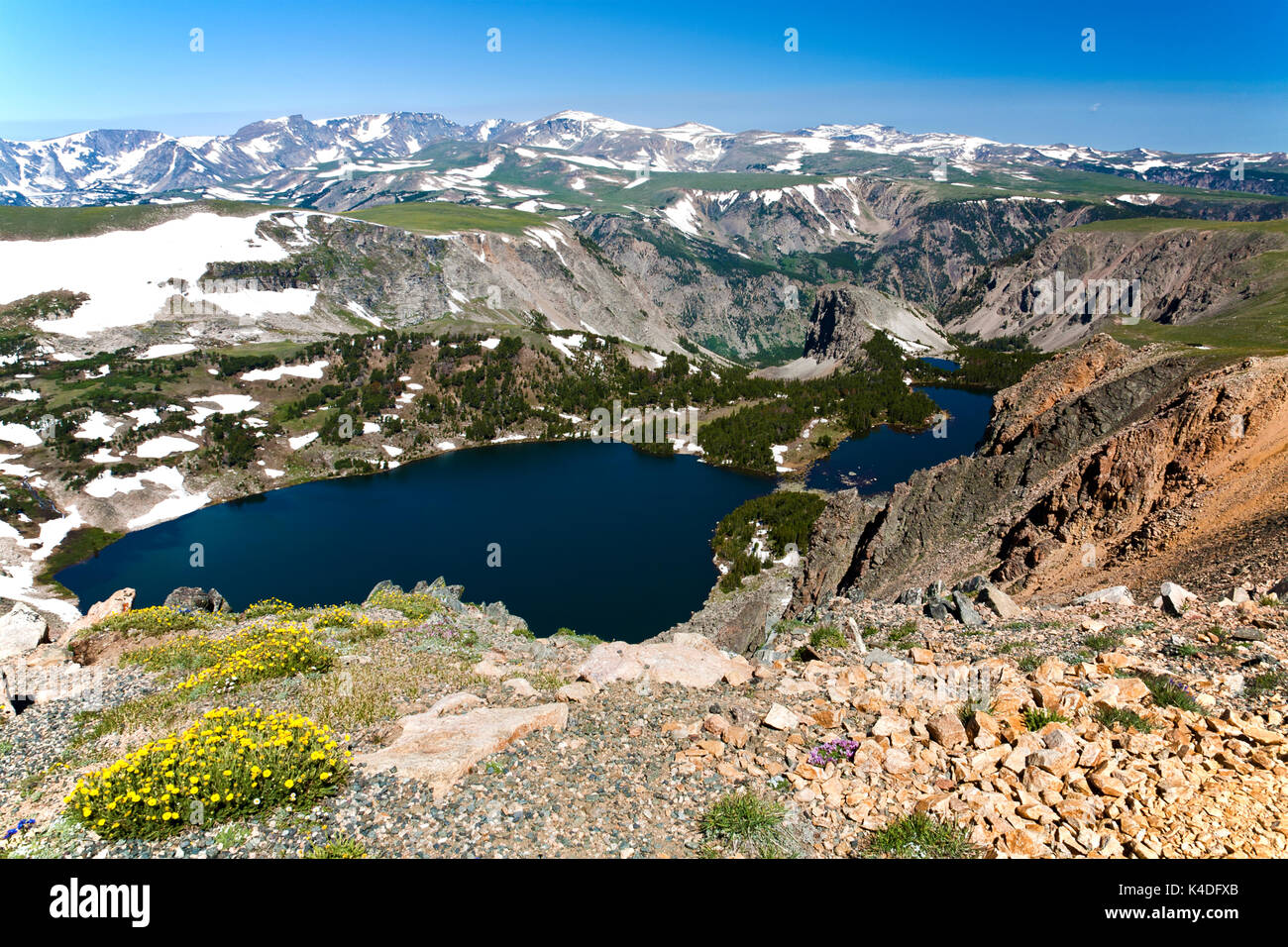 Doppelzimmer mit Seeblick, einer von Hunderten von alpinen Seen entlang der Beartooth Highway, im südlichen Montana. Stockfotohttps://www.alamy.de/image-license-details/?v=1https://www.alamy.de/doppelzimmer-mit-seeblick-einer-von-hunderten-von-alpinen-seen-entlang-der-beartooth-highway-im-sudlichen-montana-image157649811.html
RMK4DFXB–Doppelzimmer mit Seeblick, einer von Hunderten von alpinen Seen entlang der Beartooth Highway, im südlichen Montana.
 Beartooth Pass bezeichnet man als National Forest Scenic Byway, Montana, USA Stockfotohttps://www.alamy.de/image-license-details/?v=1https://www.alamy.de/stockfoto-beartooth-pass-bezeichnet-man-als-national-forest-scenic-byway-montana-usa-77795987.html
RMEEFWG3–Beartooth Pass bezeichnet man als National Forest Scenic Byway, Montana, USA
 Beartooth Highway auf einem Abschnitt der U.S. Route 212 in Montana und Wyoming, horizontal Stockfotohttps://www.alamy.de/image-license-details/?v=1https://www.alamy.de/beartooth-highway-auf-einem-abschnitt-der-us-route-212-in-montana-und-wyoming-horizontal-image462383328.html
RF2HT7AJ8–Beartooth Highway auf einem Abschnitt der U.S. Route 212 in Montana und Wyoming, horizontal
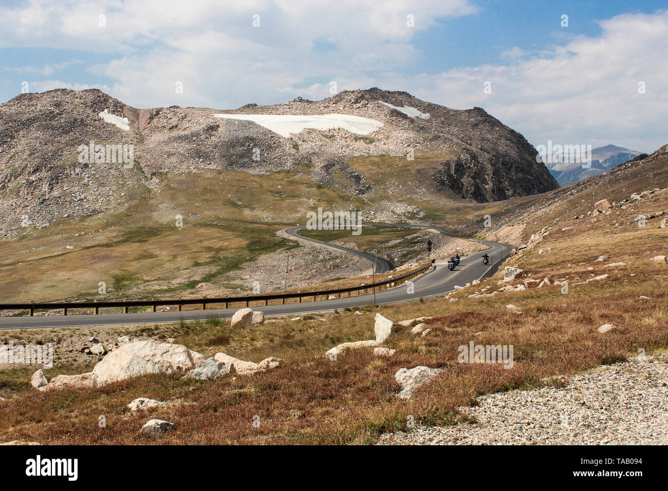 Wicklung Scenic Drive in der Nähe von Wyoming/Montana Rand, auf Beartooth Highway, in die Berge im Westen. Stockfotohttps://www.alamy.de/image-license-details/?v=1https://www.alamy.de/wicklung-scenic-drive-in-der-nahe-von-wyomingmontana-rand-auf-beartooth-highway-in-die-berge-im-westen-image247333440.html
RFTAB094–Wicklung Scenic Drive in der Nähe von Wyoming/Montana Rand, auf Beartooth Highway, in die Berge im Westen.
 Panoramische Ansicht der alpinen Wildblumen entlang der Beartooth Highway in Wyoming. Stockfotohttps://www.alamy.de/image-license-details/?v=1https://www.alamy.de/stockfoto-panoramische-ansicht-der-alpinen-wildblumen-entlang-der-beartooth-highway-in-wyoming-25830276.html
RMBE0JNT–Panoramische Ansicht der alpinen Wildblumen entlang der Beartooth Highway in Wyoming.
 Twin Lakes in der beartooth Mountains, Wyoming Stockfotohttps://www.alamy.de/image-license-details/?v=1https://www.alamy.de/twin-lakes-in-der-beartooth-mountains-wyoming-image223286744.html
RFPY7GEG–Twin Lakes in der beartooth Mountains, Wyoming
 Rock Creek Canyon vom Vista Point über den Beartooth Highway in Montana. Stockfotohttps://www.alamy.de/image-license-details/?v=1https://www.alamy.de/stockfoto-rock-creek-canyon-vom-vista-point-uber-den-beartooth-highway-in-montana-25832808.html
RMBE0P08–Rock Creek Canyon vom Vista Point über den Beartooth Highway in Montana.
 Ein Fahrzeug fährt ein Schild am Beartooth Highway, alle amerikanischen Straße zwischen Red Lodge und Cooke City. Stockfotohttps://www.alamy.de/image-license-details/?v=1https://www.alamy.de/stockfoto-ein-fahrzeug-fahrt-ein-schild-am-beartooth-highway-alle-amerikanischen-strasse-zwischen-red-lodge-und-cooke-city-144876537.html
RFJBKKE1–Ein Fahrzeug fährt ein Schild am Beartooth Highway, alle amerikanischen Straße zwischen Red Lodge und Cooke City.
 Der Chief Joseph Scenic Byway ist eine asphaltierte Straße von Cody, die hoch in die absaroka Mountains und dem Clarks Fork des Yellowstone River führt. Stockfotohttps://www.alamy.de/image-license-details/?v=1https://www.alamy.de/der-chief-joseph-scenic-byway-ist-eine-asphaltierte-strasse-von-cody-die-hoch-in-die-absaroka-mountains-und-dem-clarks-fork-des-yellowstone-river-fuhrt-image211143812.html
RFP7EC2C–Der Chief Joseph Scenic Byway ist eine asphaltierte Straße von Cody, die hoch in die absaroka Mountains und dem Clarks Fork des Yellowstone River führt.
 WY 03775-00 ... WYOMING - Island Lake in der Nähe der Beartooth Scenic Byway im Shoshone National Forest. Stockfotohttps://www.alamy.de/image-license-details/?v=1https://www.alamy.de/wy-03775-00-wyoming-island-lake-in-der-nahe-der-beartooth-scenic-byway-im-shoshone-national-forest-image236586694.html
RMRMWCMP–WY 03775-00 ... WYOMING - Island Lake in der Nähe der Beartooth Scenic Byway im Shoshone National Forest.
 Alle amerikanischen Strasse: Beartooth Highway Kreuzung zwischen Wyoming und Montana bezeichnet, das sowohl als alle amerikanischen Straße und ein National Scenic Byway. Stockfotohttps://www.alamy.de/image-license-details/?v=1https://www.alamy.de/alle-amerikanischen-strasse-beartooth-highway-kreuzung-zwischen-wyoming-und-montana-bezeichnet-das-sowohl-als-alle-amerikanischen-strasse-und-ein-national-scenic-byway-image247251041.html
RFTA7769–Alle amerikanischen Strasse: Beartooth Highway Kreuzung zwischen Wyoming und Montana bezeichnet, das sowohl als alle amerikanischen Straße und ein National Scenic Byway.
 WY 03722-00 ... WYOMING - Gardner See, über den Beartooth Loop National Recreation Trail im Shoshone National Forest. Stockfotohttps://www.alamy.de/image-license-details/?v=1https://www.alamy.de/wy-03722-00-wyoming-gardner-see-uber-den-beartooth-loop-national-recreation-trail-im-shoshone-national-forest-image236486917.html
RMRMMWD9–WY 03722-00 ... WYOMING - Gardner See, über den Beartooth Loop National Recreation Trail im Shoshone National Forest.
 Crazy Creek, Shoshone National Forest, Beartooth Highway Scenic Byway, Wyoming Stockfotohttps://www.alamy.de/image-license-details/?v=1https://www.alamy.de/crazy-creek-shoshone-national-forest-beartooth-highway-scenic-byway-wyoming-image590996901.html
RF2W9E6G5–Crazy Creek, Shoshone National Forest, Beartooth Highway Scenic Byway, Wyoming
 Der Abgrund des Sunlight Creek entlang des Chief Josepth Scenic Byway, Shoshone National Forest, Wyoming, USA Stockfotohttps://www.alamy.de/image-license-details/?v=1https://www.alamy.de/der-abgrund-des-sunlight-creek-entlang-des-chief-josepth-scenic-byway-shoshone-national-forest-wyoming-usa-image434057059.html
RF2G6505R–Der Abgrund des Sunlight Creek entlang des Chief Josepth Scenic Byway, Shoshone National Forest, Wyoming, USA
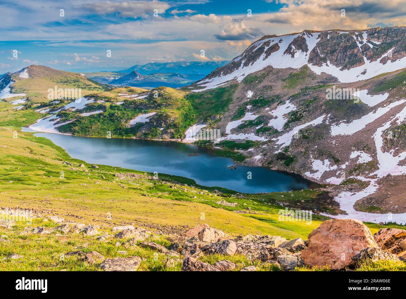 Beartooth Pass in den Beartooth Mountains am Beartooth Highway in Montana und Wyoming Stockfotohttps://www.alamy.de/image-license-details/?v=1https://www.alamy.de/beartooth-pass-in-den-beartooth-mountains-am-beartooth-highway-in-montana-und-wyoming-image557427318.html
RF2RAW06E–Beartooth Pass in den Beartooth Mountains am Beartooth Highway in Montana und Wyoming
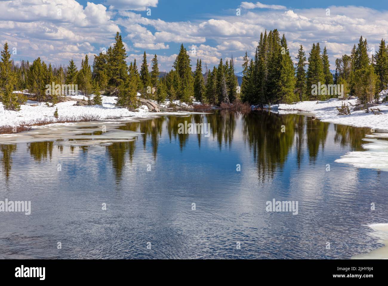 Beartooth Creek vom Beartooth Highway aus im Frühjahr, Shoshone National Forest, Wyoming Stockfotohttps://www.alamy.de/image-license-details/?v=1https://www.alamy.de/beartooth-creek-vom-beartooth-highway-aus-im-fruhjahr-shoshone-national-forest-wyoming-image475729356.html
RM2JHY9J4–Beartooth Creek vom Beartooth Highway aus im Frühjahr, Shoshone National Forest, Wyoming
 US Highway 89, malerischen Straße von Gardiner, Montana zu Mammoth Hot Springs, Yellowstone National Park. Stockfotohttps://www.alamy.de/image-license-details/?v=1https://www.alamy.de/us-highway-89-malerischen-strasse-von-gardiner-montana-zu-mammoth-hot-springs-yellowstone-national-park-image209359126.html
RFP4H3KJ–US Highway 89, malerischen Straße von Gardiner, Montana zu Mammoth Hot Springs, Yellowstone National Park.
 Farbenfroher Sonnenuntergang, Beartooth Highway, Shoshone National Forest, Wyoming Stockfotohttps://www.alamy.de/image-license-details/?v=1https://www.alamy.de/farbenfroher-sonnenuntergang-beartooth-highway-shoshone-national-forest-wyoming-image475729416.html
RM2JHY9M8–Farbenfroher Sonnenuntergang, Beartooth Highway, Shoshone National Forest, Wyoming
 Alpine Lake entlang Beartooth Highway, im Nordosten Eingang des Yellowstone National Park. Beartooth Mountains, California, United States. Malerische Antenne Landschaft in der Sommersaison. Blauer Himmel mit kopieren. Stockfotohttps://www.alamy.de/image-license-details/?v=1https://www.alamy.de/alpine-lake-entlang-beartooth-highway-im-nordosten-eingang-des-yellowstone-national-park-beartooth-mountains-california-united-states-malerische-antenne-landschaft-in-der-sommersaison-blauer-himmel-mit-kopieren-image230223782.html
RFRAFGNX–Alpine Lake entlang Beartooth Highway, im Nordosten Eingang des Yellowstone National Park. Beartooth Mountains, California, United States. Malerische Antenne Landschaft in der Sommersaison. Blauer Himmel mit kopieren.
 Im späten Frühling schmelzen die Twin Lakes am Beartooth Highway, Shoshone National Forest, Wyoming Stockfotohttps://www.alamy.de/image-license-details/?v=1https://www.alamy.de/im-spaten-fruhling-schmelzen-die-twin-lakes-am-beartooth-highway-shoshone-national-forest-wyoming-image475729296.html
RM2JHY9G0–Im späten Frühling schmelzen die Twin Lakes am Beartooth Highway, Shoshone National Forest, Wyoming
 Blick von Beartooth Pass, Montana. Der Beartooth Highway ist eine All-American Road auf einem Abschnitt der U.S. Highway 212 in Montana zwischen Red Lodge und dem Stockfotohttps://www.alamy.de/image-license-details/?v=1https://www.alamy.de/blick-von-beartooth-pass-montana-der-beartooth-highway-ist-eine-all-american-road-auf-einem-abschnitt-der-us-highway-212-in-montana-zwischen-red-lodge-und-dem-image157649864.html
RMK4DG08–Blick von Beartooth Pass, Montana. Der Beartooth Highway ist eine All-American Road auf einem Abschnitt der U.S. Highway 212 in Montana zwischen Red Lodge und dem
 Beartooth Highway auf einem Abschnitt der U.S. Route 212 in Montana und Wyoming, vertikal Stockfotohttps://www.alamy.de/image-license-details/?v=1https://www.alamy.de/beartooth-highway-auf-einem-abschnitt-der-us-route-212-in-montana-und-wyoming-vertikal-image462383333.html
RF2HT7AJD–Beartooth Highway auf einem Abschnitt der U.S. Route 212 in Montana und Wyoming, vertikal
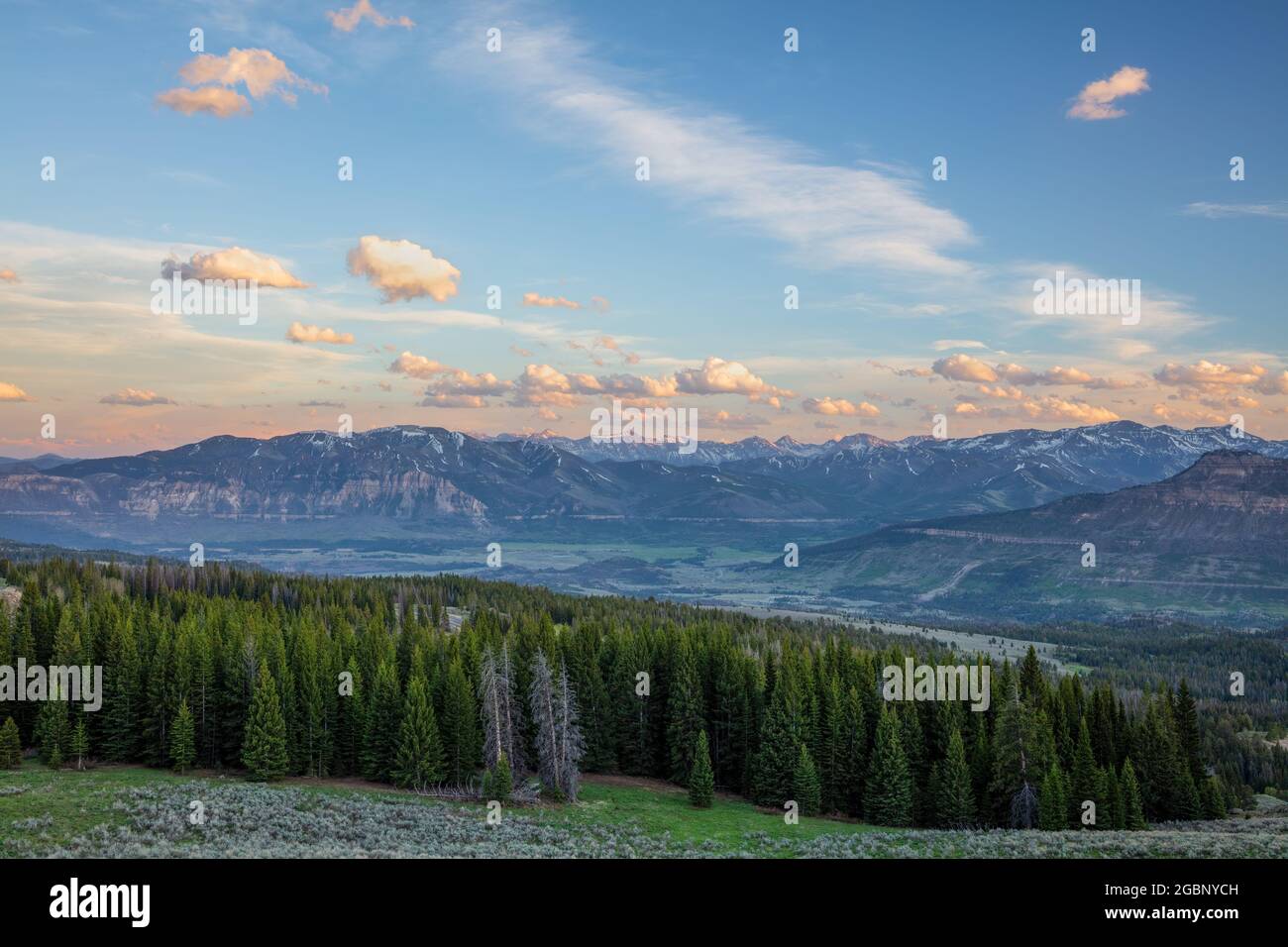 Blick auf die Absaroka Range von einem Blick auf den Beartooth Highway, Wyoming Stockfotohttps://www.alamy.de/image-license-details/?v=1https://www.alamy.de/blick-auf-die-absaroka-range-von-einem-blick-auf-den-beartooth-highway-wyoming-image437502929.html
RM2GBNYCH–Blick auf die Absaroka Range von einem Blick auf den Beartooth Highway, Wyoming
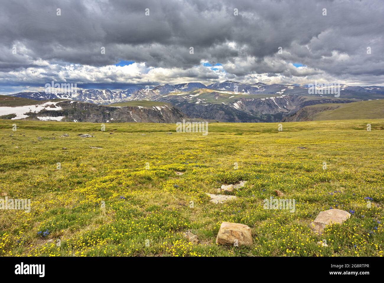 Absaroka Range der Rocky Mountains vom Beartooth Highway aus gesehen, einem National Scenic Byway nordöstlich des Yellowstone National Park Stockfotohttps://www.alamy.de/image-license-details/?v=1https://www.alamy.de/absaroka-range-der-rocky-mountains-vom-beartooth-highway-aus-gesehen-einem-national-scenic-byway-nordostlich-des-yellowstone-national-park-image435700799.html
RF2G8RTPR–Absaroka Range der Rocky Mountains vom Beartooth Highway aus gesehen, einem National Scenic Byway nordöstlich des Yellowstone National Park
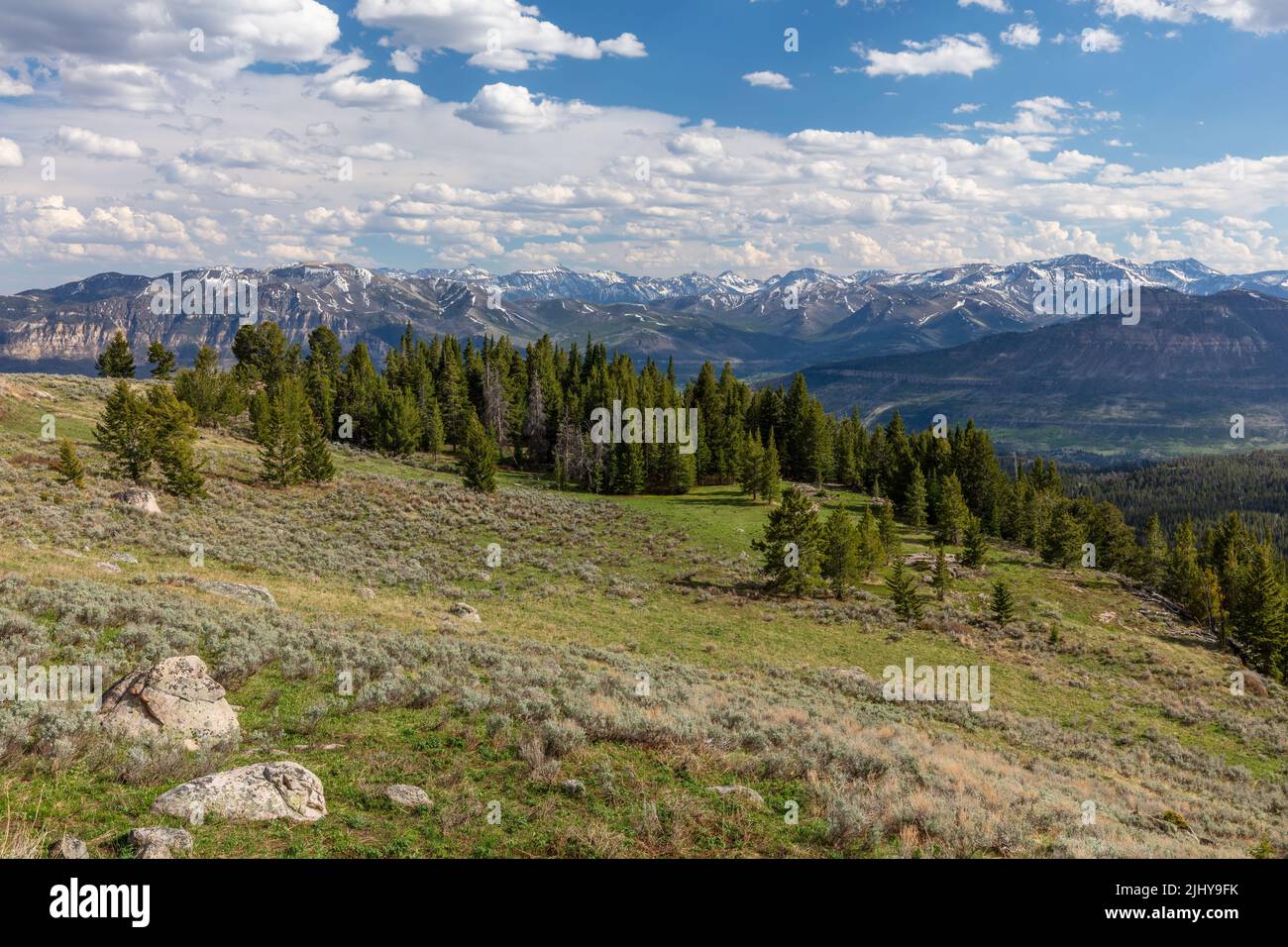 Blick auf die Absaroka Range von einem Blick auf den Beartooth Highway, Wyoming Stockfotohttps://www.alamy.de/image-license-details/?v=1https://www.alamy.de/blick-auf-die-absaroka-range-von-einem-blick-auf-den-beartooth-highway-wyoming-image475729287.html
RM2JHY9FK–Blick auf die Absaroka Range von einem Blick auf den Beartooth Highway, Wyoming
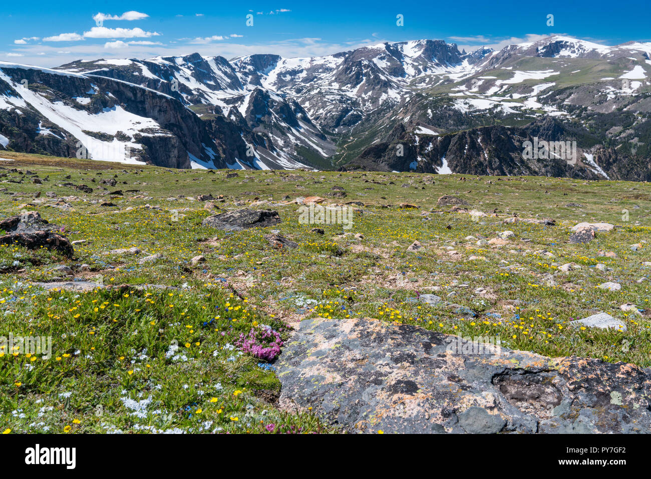 Beartooth Mountains und wilden Blumen entlang Beartooth Pass, Wyoming Stockfotohttps://www.alamy.de/image-license-details/?v=1https://www.alamy.de/beartooth-mountains-und-wilden-blumen-entlang-beartooth-pass-wyoming-image223286758.html
RFPY7GF2–Beartooth Mountains und wilden Blumen entlang Beartooth Pass, Wyoming
 Blick auf die Absaroka Range von einem Aussichtspunkt auf dem Beartooth Highway bei Sonnenuntergang, Wyoming Stockfotohttps://www.alamy.de/image-license-details/?v=1https://www.alamy.de/blick-auf-die-absaroka-range-von-einem-aussichtspunkt-auf-dem-beartooth-highway-bei-sonnenuntergang-wyoming-image475729395.html
RM2JHY9KF–Blick auf die Absaroka Range von einem Aussichtspunkt auf dem Beartooth Highway bei Sonnenuntergang, Wyoming
 Ein Fahrzeug fährt ein Schild am Beartooth Highway, alle amerikanischen Straße zwischen Red Lodge und Cooke City. Stockfotohttps://www.alamy.de/image-license-details/?v=1https://www.alamy.de/stockfoto-ein-fahrzeug-fahrt-ein-schild-am-beartooth-highway-alle-amerikanischen-strasse-zwischen-red-lodge-und-cooke-city-144876501.html
RFJBKKCN–Ein Fahrzeug fährt ein Schild am Beartooth Highway, alle amerikanischen Straße zwischen Red Lodge und Cooke City.
 Geschwungene Bergstraße in ländlichen Montana Wyoming in der Nähe der Grenze, auf der Beartooth Highway, den Blick von dem Tal in Richtung Berge und den Fluss. Stockfotohttps://www.alamy.de/image-license-details/?v=1https://www.alamy.de/geschwungene-bergstrasse-in-landlichen-montana-wyoming-in-der-nahe-der-grenze-auf-der-beartooth-highway-den-blick-von-dem-tal-in-richtung-berge-und-den-fluss-image247333500.html
RFTAB0B8–Geschwungene Bergstraße in ländlichen Montana Wyoming in der Nähe der Grenze, auf der Beartooth Highway, den Blick von dem Tal in Richtung Berge und den Fluss.
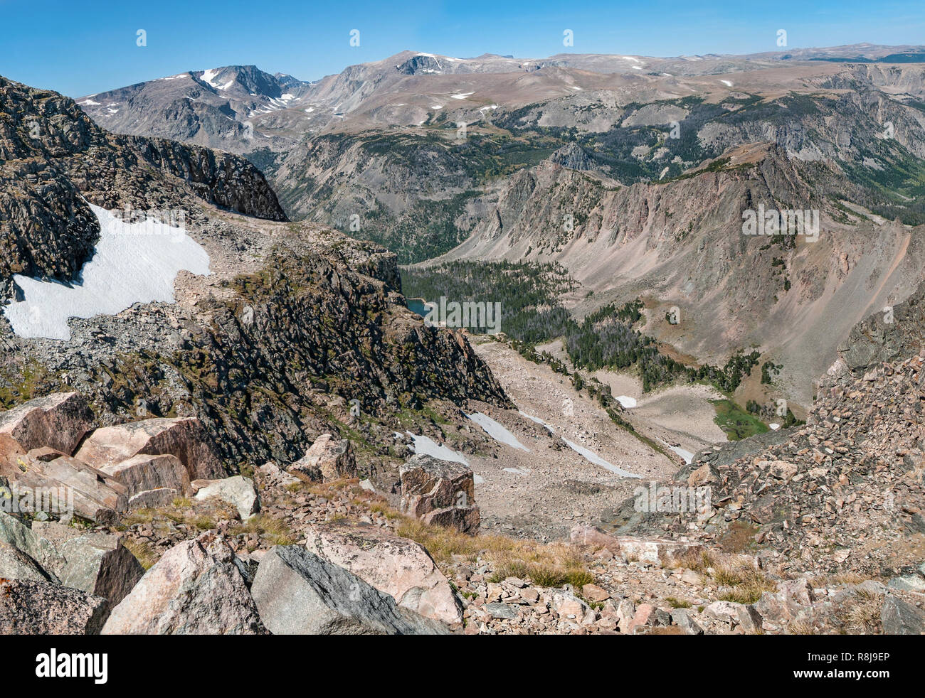 Wyoming Berge blicken im Spätsommer: eine Ansicht in der Nähe der Kante der Beartooth Highway im nördlichen Wyoming zeigt Flecken von Schnee auf Mou Stockfotohttps://www.alamy.de/image-license-details/?v=1https://www.alamy.de/wyoming-berge-blicken-im-spatsommer-eine-ansicht-in-der-nahe-der-kante-der-beartooth-highway-im-nordlichen-wyoming-zeigt-flecken-von-schnee-auf-mou-image229054638.html
RFR8J9EP–Wyoming Berge blicken im Spätsommer: eine Ansicht in der Nähe der Kante der Beartooth Highway im nördlichen Wyoming zeigt Flecken von Schnee auf Mou
 WY 03742-00 ... WYOMING - Langer See, neben dem Beartooth Scenic Byway in der beartooth Bereich Berge von Shoshone National Forest. Stockfotohttps://www.alamy.de/image-license-details/?v=1https://www.alamy.de/wy-03742-00-wyoming-langer-see-neben-dem-beartooth-scenic-byway-in-der-beartooth-bereich-berge-von-shoshone-national-forest-image236487018.html
RMRMMWGX–WY 03742-00 ... WYOMING - Langer See, neben dem Beartooth Scenic Byway in der beartooth Bereich Berge von Shoshone National Forest.
 Crazy Creek, Shoshone National Forest, Beartooth Highway Scenic Byway, Wyoming Stockfotohttps://www.alamy.de/image-license-details/?v=1https://www.alamy.de/stockfoto-crazy-creek-shoshone-national-forest-beartooth-highway-scenic-byway-wyoming-141663034.html
RFJ6D8J2–Crazy Creek, Shoshone National Forest, Beartooth Highway Scenic Byway, Wyoming
 Der Abgrund des Sunlight Creek entlang des Chief Josepth Scenic Byway, Shoshone National Forest, Wyoming, USA Stockfotohttps://www.alamy.de/image-license-details/?v=1https://www.alamy.de/der-abgrund-des-sunlight-creek-entlang-des-chief-josepth-scenic-byway-shoshone-national-forest-wyoming-usa-image434056930.html
RF2G65016–Der Abgrund des Sunlight Creek entlang des Chief Josepth Scenic Byway, Shoshone National Forest, Wyoming, USA
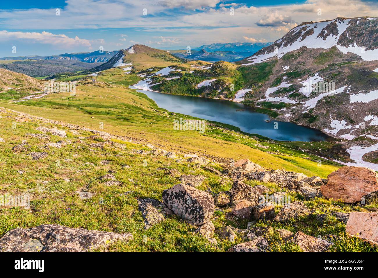 Beartooth Pass in den Beartooth Mountains am Beartooth Highway in Montana und Wyoming Stockfotohttps://www.alamy.de/image-license-details/?v=1https://www.alamy.de/beartooth-pass-in-den-beartooth-mountains-am-beartooth-highway-in-montana-und-wyoming-image557427298.html
RF2RAW05P–Beartooth Pass in den Beartooth Mountains am Beartooth Highway in Montana und Wyoming
 Beartooth Highway ist eine National Forest Scenic Byway, Montana, USA Stockfotohttps://www.alamy.de/image-license-details/?v=1https://www.alamy.de/stockfoto-beartooth-highway-ist-eine-national-forest-scenic-byway-montana-usa-77797654.html
RMEEFYKJ–Beartooth Highway ist eine National Forest Scenic Byway, Montana, USA
 Schönen alpinen See entlang Montana Beartooth Pass Highway im Sommer Stockfotohttps://www.alamy.de/image-license-details/?v=1https://www.alamy.de/schonen-alpinen-see-entlang-montana-beartooth-pass-highway-im-sommer-image222804763.html
RFPXDHMY–Schönen alpinen See entlang Montana Beartooth Pass Highway im Sommer
 Us 189, Wyoming in der Nähe von Centennial Scenic Byway Bondurant, Wyoming Stockfotohttps://www.alamy.de/image-license-details/?v=1https://www.alamy.de/stockfoto-us-189-wyoming-in-der-nahe-von-centennial-scenic-byway-bondurant-wyoming-167276739.html
RFKM4357–Us 189, Wyoming in der Nähe von Centennial Scenic Byway Bondurant, Wyoming
 Das klare Wasser der Alpinen See entlang Beartooth Highway, im Nordosten Gateway des Yellowstone National Park. Beartooth Highway, die Schönsten, die sie in Amerika, Abschnitt der Route 212, Montana und Wyoming. Stockfotohttps://www.alamy.de/image-license-details/?v=1https://www.alamy.de/das-klare-wasser-der-alpinen-see-entlang-beartooth-highway-im-nordosten-gateway-des-yellowstone-national-park-beartooth-highway-die-schonsten-die-sie-in-amerika-abschnitt-der-route-212-montana-und-wyoming-image230261123.html
RFRAH8BF–Das klare Wasser der Alpinen See entlang Beartooth Highway, im Nordosten Gateway des Yellowstone National Park. Beartooth Highway, die Schönsten, die sie in Amerika, Abschnitt der Route 212, Montana und Wyoming.
 Tragen Sie Zahn Highway - malerische Passstrasse, gewundenen Straße, Haarnadel-Kurven, Klippe. Stockfotohttps://www.alamy.de/image-license-details/?v=1https://www.alamy.de/stockfoto-tragen-sie-zahn-highway-malerische-passstrasse-gewundenen-strasse-haarnadel-kurven-klippe-117359547.html
RFGPX58B–Tragen Sie Zahn Highway - malerische Passstrasse, gewundenen Straße, Haarnadel-Kurven, Klippe.
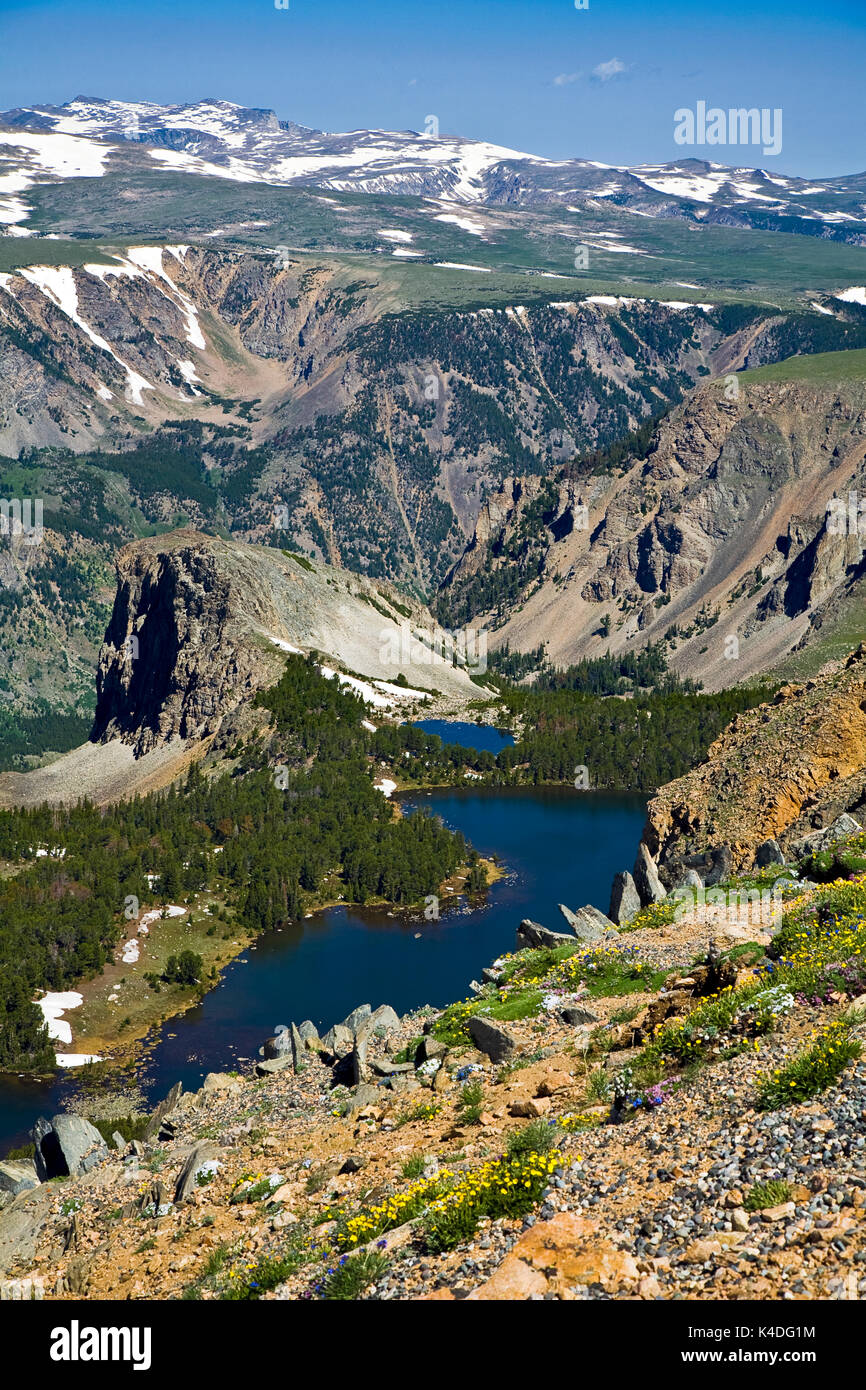 Doppelzimmer mit Seeblick, einer von Hunderten von alpinen Seen sichtbar von der Beartooth Highway, ein All-American Road auf einem Abschnitt der U.S. Highway 212 in Montana zwische Stockfotohttps://www.alamy.de/image-license-details/?v=1https://www.alamy.de/doppelzimmer-mit-seeblick-einer-von-hunderten-von-alpinen-seen-sichtbar-von-der-beartooth-highway-ein-all-american-road-auf-einem-abschnitt-der-us-highway-212-in-montana-zwische-image157649904.html
RMK4DG1M–Doppelzimmer mit Seeblick, einer von Hunderten von alpinen Seen sichtbar von der Beartooth Highway, ein All-American Road auf einem Abschnitt der U.S. Highway 212 in Montana zwische
 Beartooth Highway (Schwarzweiß) Stockfotohttps://www.alamy.de/image-license-details/?v=1https://www.alamy.de/beartooth-highway-schwarzweiss-image611916464.html
RM2XFF5KC–Beartooth Highway (Schwarzweiß)
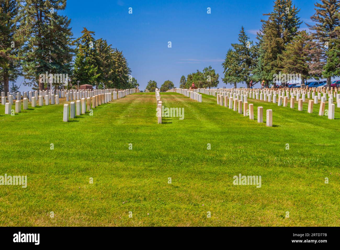 7. Militärdenkmalfriedhof der Kavallerie am Little Bighorn Battlefield National Monument in Montana. Little Bighorn Battlefield National Monument. Stockfotohttps://www.alamy.de/image-license-details/?v=1https://www.alamy.de/7-militardenkmalfriedhof-der-kavallerie-am-little-bighorn-battlefield-national-monument-in-montana-little-bighorn-battlefield-national-monument-image565774591.html
RM2RTD77B–7. Militärdenkmalfriedhof der Kavallerie am Little Bighorn Battlefield National Monument in Montana. Little Bighorn Battlefield National Monument.
 Details von wildem Murmeltier, sichtbar in der natürlichen Rocky Mountains-Umgebung des Beartooth Highway, einer malerischen Nebenstraße nördlich des Yellowstone National Park in Wyoming Stockfotohttps://www.alamy.de/image-license-details/?v=1https://www.alamy.de/details-von-wildem-murmeltier-sichtbar-in-der-naturlichen-rocky-mountains-umgebung-des-beartooth-highway-einer-malerischen-nebenstrasse-nordlich-des-yellowstone-national-park-in-wyoming-image446919274.html
RF2GY2X2J–Details von wildem Murmeltier, sichtbar in der natürlichen Rocky Mountains-Umgebung des Beartooth Highway, einer malerischen Nebenstraße nördlich des Yellowstone National Park in Wyoming
 Beartooth Highway auf einem Abschnitt der U.S. Route 212 in Montana und Wyoming, horizontal Stockfotohttps://www.alamy.de/image-license-details/?v=1https://www.alamy.de/beartooth-highway-auf-einem-abschnitt-der-us-route-212-in-montana-und-wyoming-horizontal-image434269596.html
RF2G6EK8C–Beartooth Highway auf einem Abschnitt der U.S. Route 212 in Montana und Wyoming, horizontal
 Wildblumen am Hang über Twin Lakes entlang der Beartooth Scenic Byway Shoshone National Forest Wyoming USA. Stockfotohttps://www.alamy.de/image-license-details/?v=1https://www.alamy.de/wildblumen-am-hang-uber-twin-lakes-entlang-der-beartooth-scenic-byway-shoshone-national-forest-wyoming-usa-image5846207.html
RMA1E3T0–Wildblumen am Hang über Twin Lakes entlang der Beartooth Scenic Byway Shoshone National Forest Wyoming USA.
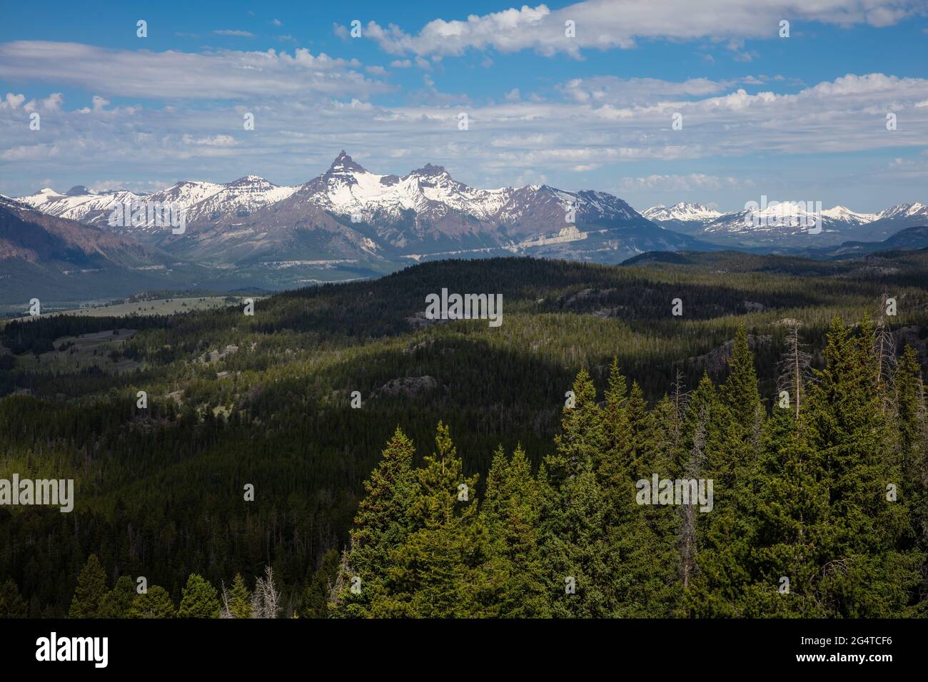 Blick auf den Pilot Peak und den Index Peak in der Absaroka Range aus einer Sicht auf den Beartooth Highway, Wyoming Stockfotohttps://www.alamy.de/image-license-details/?v=1https://www.alamy.de/blick-auf-den-pilot-peak-und-den-index-peak-in-der-absaroka-range-aus-einer-sicht-auf-den-beartooth-highway-wyoming-image433254506.html
RM2G4TCF6–Blick auf den Pilot Peak und den Index Peak in der Absaroka Range aus einer Sicht auf den Beartooth Highway, Wyoming
 Ein Fahrzeug fährt ein Schild am Beartooth Highway, alle amerikanischen Straße zwischen Red Lodge und Cooke City. Stockfotohttps://www.alamy.de/image-license-details/?v=1https://www.alamy.de/stockfoto-ein-fahrzeug-fahrt-ein-schild-am-beartooth-highway-alle-amerikanischen-strasse-zwischen-red-lodge-und-cooke-city-144876398.html
RFJBKK92–Ein Fahrzeug fährt ein Schild am Beartooth Highway, alle amerikanischen Straße zwischen Red Lodge und Cooke City.
 Beartooth Lake unter Beartooth Butte auf der Beartooth-Hochebene, wyoming Stockfotohttps://www.alamy.de/image-license-details/?v=1https://www.alamy.de/stockfoto-beartooth-lake-unter-beartooth-butte-auf-der-beartooth-hochebene-wyoming-91131415.html
RMF87B1B–Beartooth Lake unter Beartooth Butte auf der Beartooth-Hochebene, wyoming
 SUV mit Kajak in der Wildheit Stockfotohttps://www.alamy.de/image-license-details/?v=1https://www.alamy.de/stockfoto-suv-mit-kajak-in-der-wildheit-20316548.html
RFB51DY0–SUV mit Kajak in der Wildheit
 WY 03747-00 ... WYOMING - Sun knallen aus den Wolken kurz vor Sonnenuntergang an der Insel See in der beartooth Bereich Berge von Shoshone National Forest. Stockfotohttps://www.alamy.de/image-license-details/?v=1https://www.alamy.de/wy-03747-00-wyoming-sun-knallen-aus-den-wolken-kurz-vor-sonnenuntergang-an-der-insel-see-in-der-beartooth-bereich-berge-von-shoshone-national-forest-image236487050.html
RMRMMWJ2–WY 03747-00 ... WYOMING - Sun knallen aus den Wolken kurz vor Sonnenuntergang an der Insel See in der beartooth Bereich Berge von Shoshone National Forest.
 Creek nach Unwetter, Shoshone National Forest, Beartooth Scenic Byway, Wyoming Stockfotohttps://www.alamy.de/image-license-details/?v=1https://www.alamy.de/creek-nach-unwetter-shoshone-national-forest-beartooth-scenic-byway-wyoming-image590996926.html
RF2W9E6H2–Creek nach Unwetter, Shoshone National Forest, Beartooth Scenic Byway, Wyoming
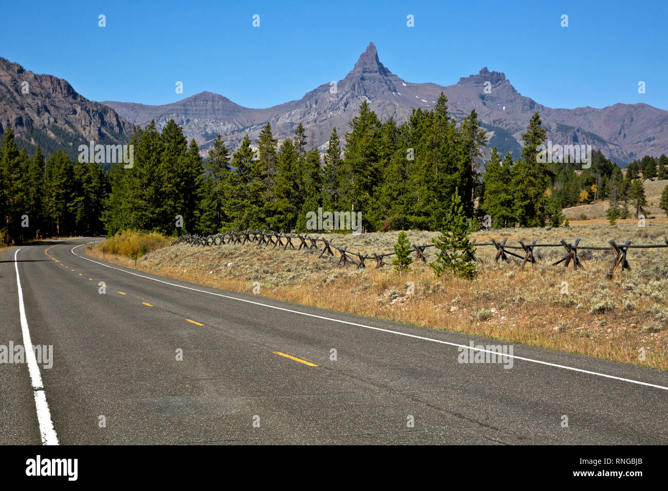 WY 03786-00 ... WYOMING - Der Beartooth Highway in der Clark Fork Yellowstone River Tal der Shoshone National Forest. Stockfotohttps://www.alamy.de/image-license-details/?v=1https://www.alamy.de/wy-03786-00-wyoming-der-beartooth-highway-in-der-clark-fork-yellowstone-river-tal-der-shoshone-national-forest-image237002931.html
RMRNGBJB–WY 03786-00 ... WYOMING - Der Beartooth Highway in der Clark Fork Yellowstone River Tal der Shoshone National Forest.
 Beartooth Pass in den Beartooth Mountains am Beartooth Highway in Montana und Wyoming Stockfotohttps://www.alamy.de/image-license-details/?v=1https://www.alamy.de/beartooth-pass-in-den-beartooth-mountains-am-beartooth-highway-in-montana-und-wyoming-image557427247.html
RF2RAW03Y–Beartooth Pass in den Beartooth Mountains am Beartooth Highway in Montana und Wyoming
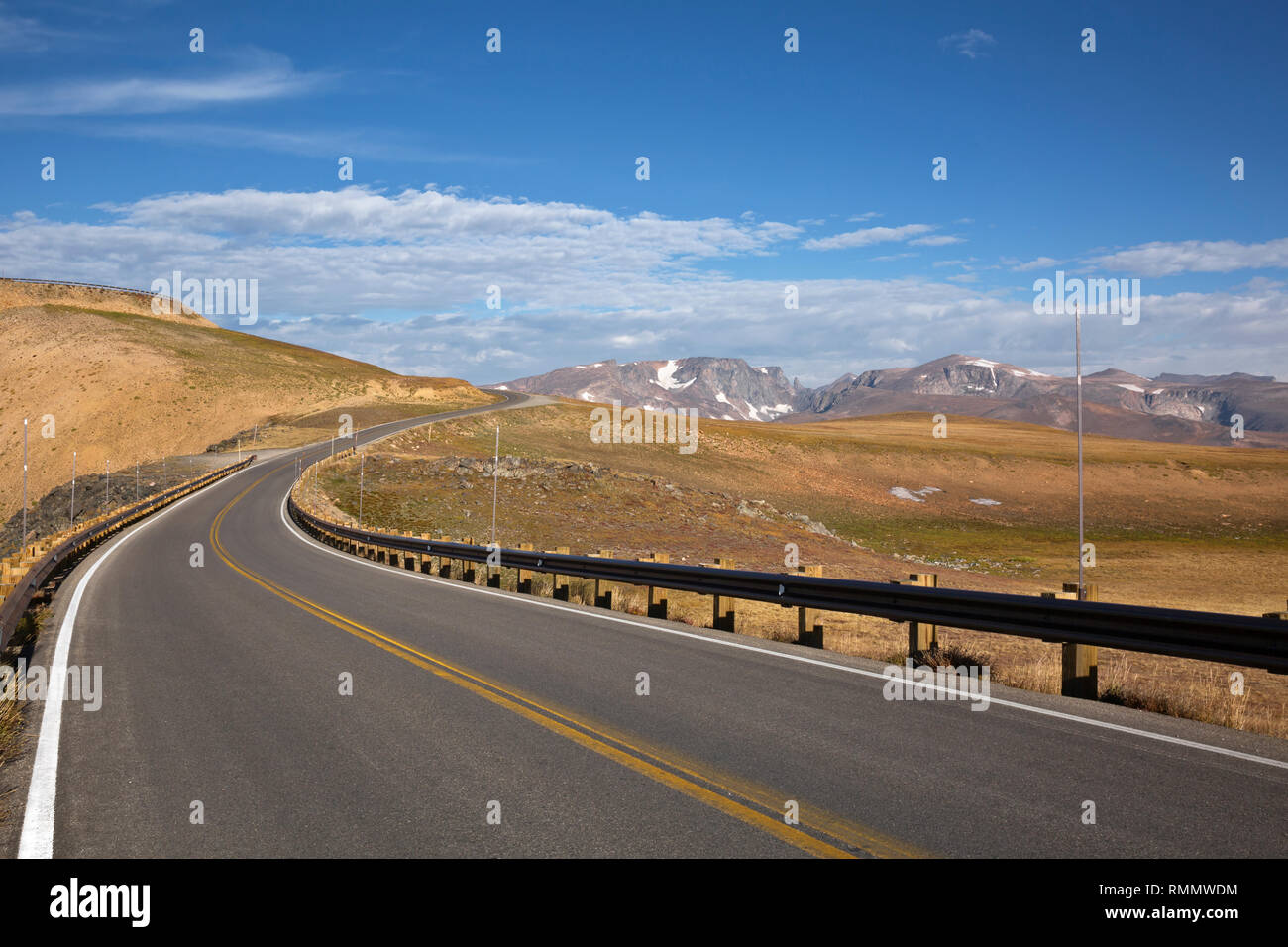 WY 03725-00 ... WYOMING - Der Beartooth Highway, auf der östlichen Seite der Beartooth Pass in der Shoshone National Forest. Stockfotohttps://www.alamy.de/image-license-details/?v=1https://www.alamy.de/wy-03725-00-wyoming-der-beartooth-highway-auf-der-ostlichen-seite-der-beartooth-pass-in-der-shoshone-national-forest-image236486928.html
RMRMMWDM–WY 03725-00 ... WYOMING - Der Beartooth Highway, auf der östlichen Seite der Beartooth Pass in der Shoshone National Forest.
 Der Abgrund des Sunlight Creek entlang des Chief Josepth Scenic Byway, Shoshone National Forest, Wyoming, USA Stockfotohttps://www.alamy.de/image-license-details/?v=1https://www.alamy.de/der-abgrund-des-sunlight-creek-entlang-des-chief-josepth-scenic-byway-shoshone-national-forest-wyoming-usa-image434057106.html
RF2G6507E–Der Abgrund des Sunlight Creek entlang des Chief Josepth Scenic Byway, Shoshone National Forest, Wyoming, USA
 Viel Schnee bleibt an den Beartooth Pass Highway in Montana im Juli Sommer Stockfotohttps://www.alamy.de/image-license-details/?v=1https://www.alamy.de/viel-schnee-bleibt-an-den-beartooth-pass-highway-in-montana-im-juli-sommer-image222804805.html
RFPXDHPD–Viel Schnee bleibt an den Beartooth Pass Highway in Montana im Juli Sommer
 Antenne alpinen See entlang Beartooth Highway, im Nordosten Gateway des Yellowstone National Park. Beartooth Highway, die Schönsten, die sie in Amerika, ist ein Abschnitt der Route 212 in Montana und Wyoming. Stockfotohttps://www.alamy.de/image-license-details/?v=1https://www.alamy.de/antenne-alpinen-see-entlang-beartooth-highway-im-nordosten-gateway-des-yellowstone-national-park-beartooth-highway-die-schonsten-die-sie-in-amerika-ist-ein-abschnitt-der-route-212-in-montana-und-wyoming-image230223911.html
RFRAFGXF–Antenne alpinen See entlang Beartooth Highway, im Nordosten Gateway des Yellowstone National Park. Beartooth Highway, die Schönsten, die sie in Amerika, ist ein Abschnitt der Route 212 in Montana und Wyoming.
 AJ21467, MT, Montana Stockfotohttps://www.alamy.de/image-license-details/?v=1https://www.alamy.de/aj21467-mt-montana-image1944932.html
RMA2JD65–AJ21467, MT, Montana
 USA, Billings, Wyoming State Capitol, Reiseziel-Vektorgrafik Stock Vektorhttps://www.alamy.de/image-license-details/?v=1https://www.alamy.de/usa-billings-wyoming-state-capitol-reiseziel-vektorgrafik-image544484148.html
RF2PHRB2C–USA, Billings, Wyoming State Capitol, Reiseziel-Vektorgrafik
 Twin Lakes, Beartooth Highway (Farbe) Stockfotohttps://www.alamy.de/image-license-details/?v=1https://www.alamy.de/twin-lakes-beartooth-highway-farbe-image612147733.html
RM2XFWMK1–Twin Lakes, Beartooth Highway (Farbe)
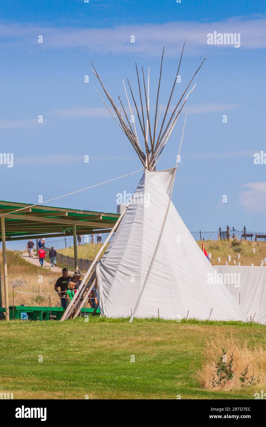 Tipi am Little Bighorn Battlefield National Monument in Montana. Stockfotohttps://www.alamy.de/image-license-details/?v=1https://www.alamy.de/tipi-am-little-bighorn-battlefield-national-monument-in-montana-image565774788.html
RM2RTD7EC–Tipi am Little Bighorn Battlefield National Monument in Montana.
 Wunderschön wilder und malerischer Beartooth Lake entlang des Beartooth Highway in den Rocky Mountains zwischen Cooke City und Red Lodge, Montana, im Juni 2021 Stockfotohttps://www.alamy.de/image-license-details/?v=1https://www.alamy.de/wunderschon-wilder-und-malerischer-beartooth-lake-entlang-des-beartooth-highway-in-den-rocky-mountains-zwischen-cooke-city-und-red-lodge-montana-im-juni-2021-image437194131.html
RF2GB7WG3–Wunderschön wilder und malerischer Beartooth Lake entlang des Beartooth Highway in den Rocky Mountains zwischen Cooke City und Red Lodge, Montana, im Juni 2021
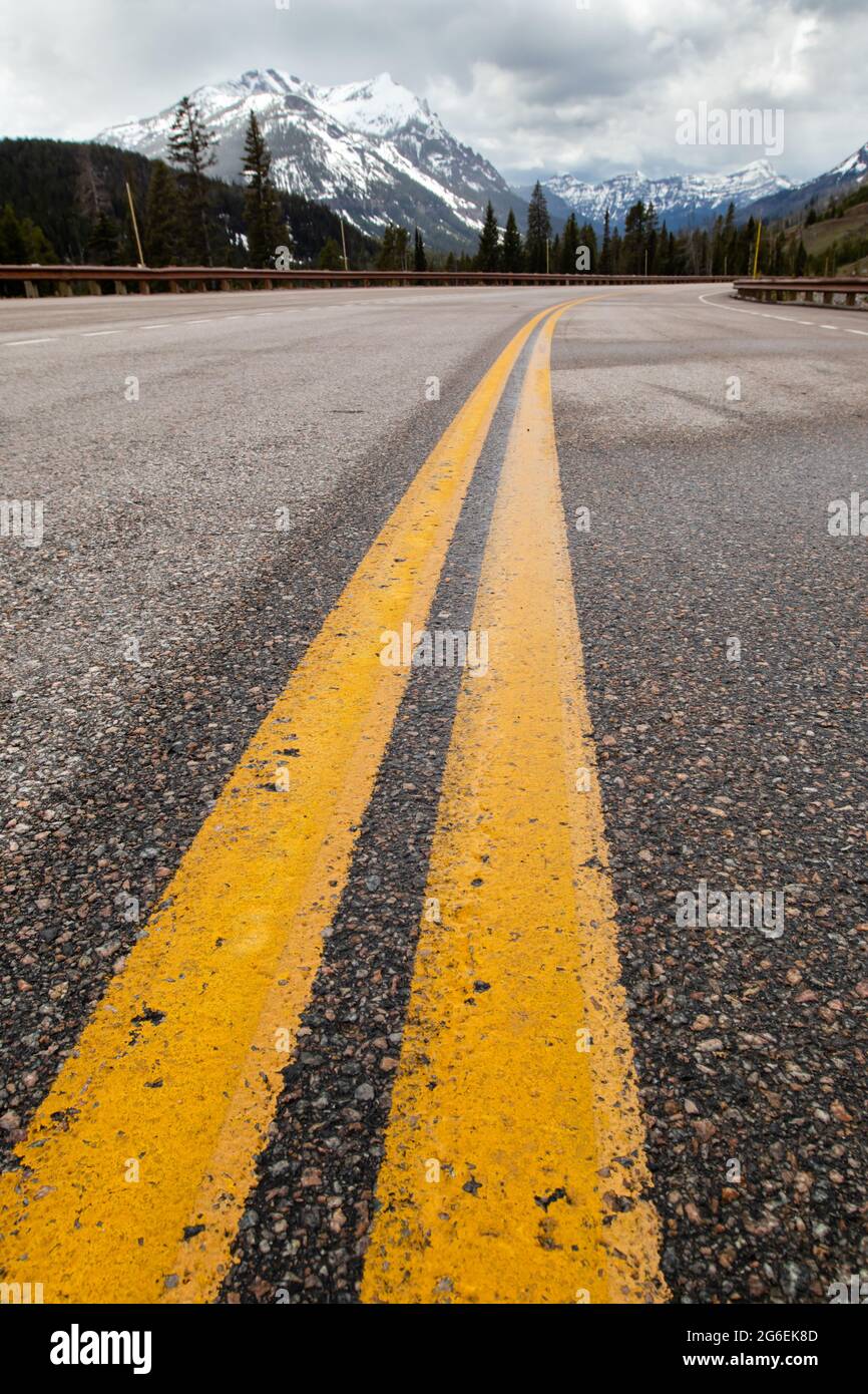 Beartooth Highway auf einem Abschnitt der U.S. Route 212 in Montana und Wyoming, vertikal Stockfotohttps://www.alamy.de/image-license-details/?v=1https://www.alamy.de/beartooth-highway-auf-einem-abschnitt-der-us-route-212-in-montana-und-wyoming-vertikal-image434269597.html
RF2G6EK8D–Beartooth Highway auf einem Abschnitt der U.S. Route 212 in Montana und Wyoming, vertikal
 Wildblumen am Hang über Twin Lakes entlang der Beartooth Scenic Byway Shoshone National Forest Wyoming USA. Stockfotohttps://www.alamy.de/image-license-details/?v=1https://www.alamy.de/wildblumen-am-hang-uber-twin-lakes-entlang-der-beartooth-scenic-byway-shoshone-national-forest-wyoming-usa-image7642966.html
RMADC9W7–Wildblumen am Hang über Twin Lakes entlang der Beartooth Scenic Byway Shoshone National Forest Wyoming USA.
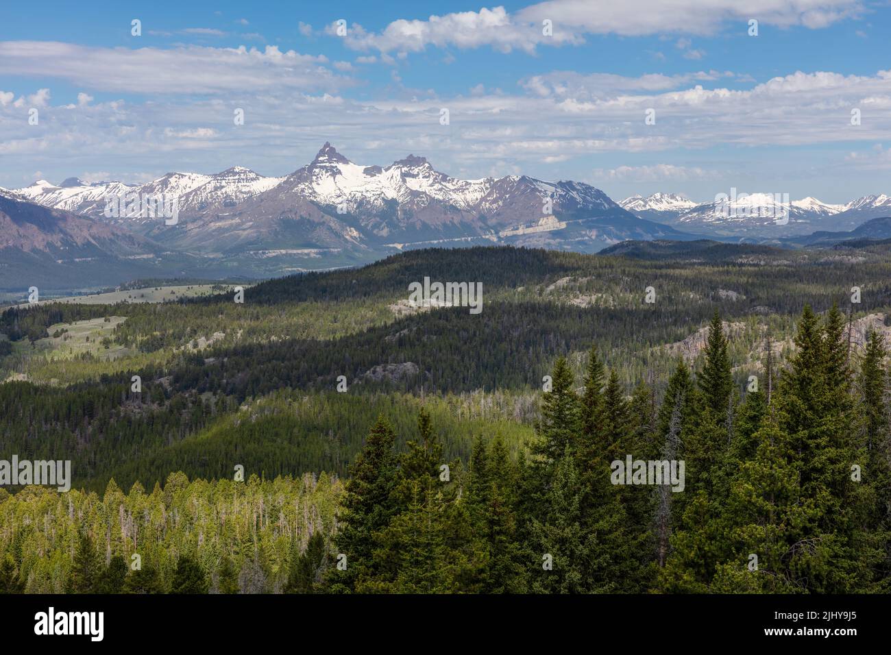 Blick auf den Pilot Peak und den Index Peak in der Absaroka Range aus einer Sicht auf den Beartooth Highway, Wyoming Stockfotohttps://www.alamy.de/image-license-details/?v=1https://www.alamy.de/blick-auf-den-pilot-peak-und-den-index-peak-in-der-absaroka-range-aus-einer-sicht-auf-den-beartooth-highway-wyoming-image475729357.html
RM2JHY9J5–Blick auf den Pilot Peak und den Index Peak in der Absaroka Range aus einer Sicht auf den Beartooth Highway, Wyoming
 Anzeigen der Beartooth Mountains aus der Beartooth alle amerikanischen scenic Highway zwischen Cooke City und Red Lodge Montana, USA. Stockfotohttps://www.alamy.de/image-license-details/?v=1https://www.alamy.de/anzeigen-der-beartooth-mountains-aus-der-beartooth-alle-amerikanischen-scenic-highway-zwischen-cooke-city-und-red-lodge-montana-usa-image398069922.html
RM2E3HJ6X–Anzeigen der Beartooth Mountains aus der Beartooth alle amerikanischen scenic Highway zwischen Cooke City und Red Lodge Montana, USA.
 Crazy Creek, Shoshone National Forest, Beartooth Highway Scenic Byway, Wyoming Stockfotohttps://www.alamy.de/image-license-details/?v=1https://www.alamy.de/crazy-creek-shoshone-national-forest-beartooth-highway-scenic-byway-wyoming-image590996853.html
RF2W9E6ED–Crazy Creek, Shoshone National Forest, Beartooth Highway Scenic Byway, Wyoming
 Beartooth Pass in den Beartooth Mountains am Beartooth Highway in Montana und Wyoming Stockfotohttps://www.alamy.de/image-license-details/?v=1https://www.alamy.de/beartooth-pass-in-den-beartooth-mountains-am-beartooth-highway-in-montana-und-wyoming-image557427288.html
RF2RAW05C–Beartooth Pass in den Beartooth Mountains am Beartooth Highway in Montana und Wyoming
 WY 03736-00 ... WYOMING - Der Beartooth Highway auf der Nordseite der Beartooth Pass Summit in der Shoshone National Forest. Stockfotohttps://www.alamy.de/image-license-details/?v=1https://www.alamy.de/wy-03736-00-wyoming-der-beartooth-highway-auf-der-nordseite-der-beartooth-pass-summit-in-der-shoshone-national-forest-image236486980.html
RMRMMWFG–WY 03736-00 ... WYOMING - Der Beartooth Highway auf der Nordseite der Beartooth Pass Summit in der Shoshone National Forest.
 Brücke über Sunlight Creek entlang des Chief Josepth Scenic Byway, Shoshone National Forest, Wyoming, USA Stockfotohttps://www.alamy.de/image-license-details/?v=1https://www.alamy.de/brucke-uber-sunlight-creek-entlang-des-chief-josepth-scenic-byway-shoshone-national-forest-wyoming-usa-image434056887.html
RF2G64YYK–Brücke über Sunlight Creek entlang des Chief Josepth Scenic Byway, Shoshone National Forest, Wyoming, USA
 Grüne Tundra mit negativen Raum entlang der Beartooth Highway in Montana Stockfotohttps://www.alamy.de/image-license-details/?v=1https://www.alamy.de/grune-tundra-mit-negativen-raum-entlang-der-beartooth-highway-in-montana-image222804778.html
RFPXDHNE–Grüne Tundra mit negativen Raum entlang der Beartooth Highway in Montana
 AJ21459, WY, Wyoming Stockfotohttps://www.alamy.de/image-license-details/?v=1https://www.alamy.de/aj21459-wy-wyoming-image1944910.html
RMA2JD4F–AJ21459, WY, Wyoming
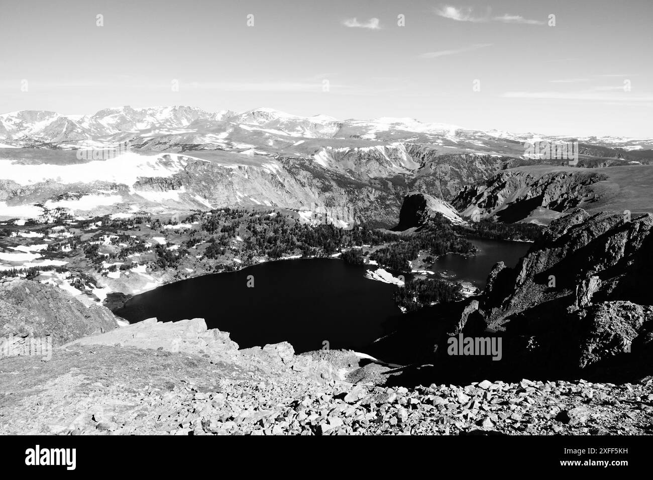 Twin Lakes, Beartooth Highway (Schwarzweiß) Stockfotohttps://www.alamy.de/image-license-details/?v=1https://www.alamy.de/twin-lakes-beartooth-highway-schwarzweiss-image611916469.html
RM2XFF5KH–Twin Lakes, Beartooth Highway (Schwarzweiß)
 Pilot Peak und Index Peak in der Absaroka Range aus der Sicht der Clarks Fork auf dem Beartooth Highway, Wyoming Stockfotohttps://www.alamy.de/image-license-details/?v=1https://www.alamy.de/pilot-peak-und-index-peak-in-der-absaroka-range-aus-der-sicht-der-clarks-fork-auf-dem-beartooth-highway-wyoming-image437502847.html
RM2GBNY9K–Pilot Peak und Index Peak in der Absaroka Range aus der Sicht der Clarks Fork auf dem Beartooth Highway, Wyoming
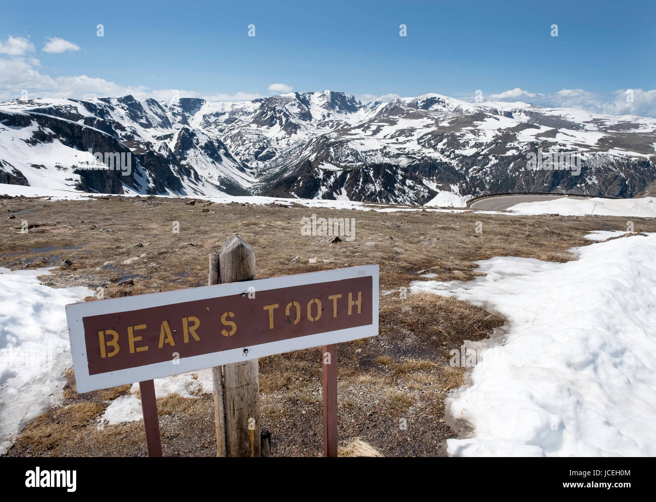 Anzeigen der Beartooth Mountains aus der Beartooth alle amerikanischen scenic Highway zwischen Cooke City und Red Lodge Montana, USA. Stockfotohttps://www.alamy.de/image-license-details/?v=1https://www.alamy.de/stockfoto-anzeigen-der-beartooth-mountains-aus-der-beartooth-alle-amerikanischen-scenic-highway-zwischen-cooke-city-und-red-lodge-montana-usa-145379492.html
RMJCEH0M–Anzeigen der Beartooth Mountains aus der Beartooth alle amerikanischen scenic Highway zwischen Cooke City und Red Lodge Montana, USA.
 Crazy Creek, Shoshone National Forest, Beartooth Highway Scenic Byway, Wyoming Stockfotohttps://www.alamy.de/image-license-details/?v=1https://www.alamy.de/stockfoto-crazy-creek-shoshone-national-forest-beartooth-highway-scenic-byway-wyoming-141663032.html
RFJ6D8J0–Crazy Creek, Shoshone National Forest, Beartooth Highway Scenic Byway, Wyoming
 WY 03746-00 ... WYOMING - kleinen Teich und Island Lake am Rande der Beartooth Mountains, in der Nähe der Beartooth Highway, in Shoshone National Für entfernt Stockfotohttps://www.alamy.de/image-license-details/?v=1https://www.alamy.de/wy-03746-00-wyoming-kleinen-teich-und-island-lake-am-rande-der-beartooth-mountains-in-der-nahe-der-beartooth-highway-in-shoshone-national-fur-entfernt-image236487046.html
RMRMMWHX–WY 03746-00 ... WYOMING - kleinen Teich und Island Lake am Rande der Beartooth Mountains, in der Nähe der Beartooth Highway, in Shoshone National Für entfernt
 Brücke über Sunlight Creek entlang des Chief Josepth Scenic Byway, Shoshone National Forest, Wyoming, USA Stockfotohttps://www.alamy.de/image-license-details/?v=1https://www.alamy.de/brucke-uber-sunlight-creek-entlang-des-chief-josepth-scenic-byway-shoshone-national-forest-wyoming-usa-image434056842.html
RF2G64YX2–Brücke über Sunlight Creek entlang des Chief Josepth Scenic Byway, Shoshone National Forest, Wyoming, USA
 WY 03785-00 ... WYOMING - Traditionelle pol Zaun entlang der Beartooth Scenic Byway mit Pilot Peak in der Ferne in der Shoshone National Forest. Stockfotohttps://www.alamy.de/image-license-details/?v=1https://www.alamy.de/wy-03785-00-wyoming-traditionelle-pol-zaun-entlang-der-beartooth-scenic-byway-mit-pilot-peak-in-der-ferne-in-der-shoshone-national-forest-image237002882.html
RMRNGBGJ–WY 03785-00 ... WYOMING - Traditionelle pol Zaun entlang der Beartooth Scenic Byway mit Pilot Peak in der Ferne in der Shoshone National Forest.
 Schöne Tundra entlang der Beartooth Highway Pass in Monana an einem Sommertag. Schnee auf dem Boden in Patches Stockfotohttps://www.alamy.de/image-license-details/?v=1https://www.alamy.de/schone-tundra-entlang-der-beartooth-highway-pass-in-monana-an-einem-sommertag-schnee-auf-dem-boden-in-patches-image222804774.html
RFPXDHNA–Schöne Tundra entlang der Beartooth Highway Pass in Monana an einem Sommertag. Schnee auf dem Boden in Patches
 AJ21464, WY, Wyoming Stockfotohttps://www.alamy.de/image-license-details/?v=1https://www.alamy.de/aj21464-wy-wyoming-image1944923.html
RMA2JD5C–AJ21464, WY, Wyoming
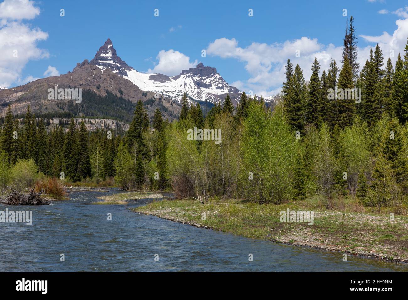 Pilot Peak und Index Peak in der Absaroka Range aus der Sicht der Clarks Fork auf dem Beartooth Highway, Wyoming Stockfotohttps://www.alamy.de/image-license-details/?v=1https://www.alamy.de/pilot-peak-und-index-peak-in-der-absaroka-range-aus-der-sicht-der-clarks-fork-auf-dem-beartooth-highway-wyoming-image475729456.html
RM2JHY9NM–Pilot Peak und Index Peak in der Absaroka Range aus der Sicht der Clarks Fork auf dem Beartooth Highway, Wyoming
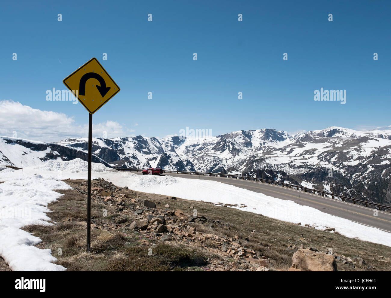 Anzeigen der Beartooth Mountains aus der Beartooth alle amerikanischen scenic Highway zwischen Cooke City und Red Lodge Montana, USA. Stockfotohttps://www.alamy.de/image-license-details/?v=1https://www.alamy.de/stockfoto-anzeigen-der-beartooth-mountains-aus-der-beartooth-alle-amerikanischen-scenic-highway-zwischen-cooke-city-und-red-lodge-montana-usa-145379644.html
RMJCEH64–Anzeigen der Beartooth Mountains aus der Beartooth alle amerikanischen scenic Highway zwischen Cooke City und Red Lodge Montana, USA.
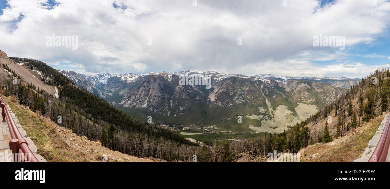 Panoramablick auf die Beartooth Range vom Vista Point Rastplatz am Beartooth Highway bei Sonnenuntergang, Montana Stockfotohttps://www.alamy.de/image-license-details/?v=1https://www.alamy.de/panoramablick-auf-die-beartooth-range-vom-vista-point-rastplatz-am-beartooth-highway-bei-sonnenuntergang-montana-image475729295.html
RM2JHY9FY–Panoramablick auf die Beartooth Range vom Vista Point Rastplatz am Beartooth Highway bei Sonnenuntergang, Montana
 Nationalwald Zeichen, Shoshone National Forest, Beartooth Highway Scenic Byway, Wyoming Stockfotohttps://www.alamy.de/image-license-details/?v=1https://www.alamy.de/stockfoto-nationalwald-zeichen-shoshone-national-forest-beartooth-highway-scenic-byway-wyoming-141662992.html
RFJ6D8GG–Nationalwald Zeichen, Shoshone National Forest, Beartooth Highway Scenic Byway, Wyoming
 Der Abgrund des Sunlight Creek mit Brückenschatten entlang der Chief Josepth Scenic Byway, Shoshone National Forest, Wyoming, USA Stockfotohttps://www.alamy.de/image-license-details/?v=1https://www.alamy.de/der-abgrund-des-sunlight-creek-mit-bruckenschatten-entlang-der-chief-josepth-scenic-byway-shoshone-national-forest-wyoming-usa-image434057121.html
RF2G65081–Der Abgrund des Sunlight Creek mit Brückenschatten entlang der Chief Josepth Scenic Byway, Shoshone National Forest, Wyoming, USA
 WY 03791-00 ... WYOMING - Herbst Farbe entlang den Ufern der Clark Fork des Yellowstone River in der Shoshone National Forest. Stockfotohttps://www.alamy.de/image-license-details/?v=1https://www.alamy.de/wy-03791-00-wyoming-herbst-farbe-entlang-den-ufern-der-clark-fork-des-yellowstone-river-in-der-shoshone-national-forest-image237003030.html
RMRNGBNX–WY 03791-00 ... WYOMING - Herbst Farbe entlang den Ufern der Clark Fork des Yellowstone River in der Shoshone National Forest.
 Blond Fotografin touristische steht in der Tundra der Beartooth Highway in Montana Stockfotohttps://www.alamy.de/image-license-details/?v=1https://www.alamy.de/blond-fotografin-touristische-steht-in-der-tundra-der-beartooth-highway-in-montana-image222804859.html
RFPXDHTB–Blond Fotografin touristische steht in der Tundra der Beartooth Highway in Montana