Schnellfilter:
Borough district type Stockfotos & Bilder
 Postkarte des Herald Square in Manhattan, New York City, von Arthur Livingston, 1905 veröffentlicht. Von der New York Public Library. () Stockfotohttps://www.alamy.de/image-license-details/?v=1https://www.alamy.de/postkarte-des-herald-square-in-manhattan-new-york-city-von-arthur-livingston-1905-veroffentlicht-von-der-new-york-public-library-image333155976.html
RM2AA0FRM–Postkarte des Herald Square in Manhattan, New York City, von Arthur Livingston, 1905 veröffentlicht. Von der New York Public Library. ()
 Offizielle Wappenvektorgrafik des englischen Verwaltungsbezirks des METROPOLITAN BOROUGH OF KNOWSLEY, MERSEYSIDE Stock Vektorhttps://www.alamy.de/image-license-details/?v=1https://www.alamy.de/offizielle-wappenvektorgrafik-des-englischen-verwaltungsbezirks-des-metropolitan-borough-of-knowsley-merseyside-image594887089.html
RF2WFRCFD–Offizielle Wappenvektorgrafik des englischen Verwaltungsbezirks des METROPOLITAN BOROUGH OF KNOWSLEY, MERSEYSIDE
 Offizielle Wappenvektor-Illustration des englischen Verwaltungsbezirks des METROPOLITAN BOROUGH OF LIVERPOOL, MERSEYSIDE Stock Vektorhttps://www.alamy.de/image-license-details/?v=1https://www.alamy.de/offizielle-wappenvektor-illustration-des-englischen-verwaltungsbezirks-des-metropolitan-borough-of-liverpool-merseyside-image594887301.html
RF2WFRCR1–Offizielle Wappenvektor-Illustration des englischen Verwaltungsbezirks des METROPOLITAN BOROUGH OF LIVERPOOL, MERSEYSIDE
 Offizielle Wappenvektor-Illustration des englischen Verwaltungsbezirks des METROPOLITAN BOROUGH VON WIRRAL, MERSEYSIDE Stock Vektorhttps://www.alamy.de/image-license-details/?v=1https://www.alamy.de/offizielle-wappenvektor-illustration-des-englischen-verwaltungsbezirks-des-metropolitan-borough-von-wirral-merseyside-image594887085.html
RF2WFRCF9–Offizielle Wappenvektor-Illustration des englischen Verwaltungsbezirks des METROPOLITAN BOROUGH VON WIRRAL, MERSEYSIDE
 Offizielle Wappen-Vektor-Illustration des englischen Verwaltungsbezirks des BOROUGH OF HOUNSLOW, LONDON Stock Vektorhttps://www.alamy.de/image-license-details/?v=1https://www.alamy.de/offizielle-wappen-vektor-illustration-des-englischen-verwaltungsbezirks-des-borough-of-hounslow-london-image594455071.html
RF2WF3NE7–Offizielle Wappen-Vektor-Illustration des englischen Verwaltungsbezirks des BOROUGH OF HOUNSLOW, LONDON
 Offizielle Wappen-Vektor-Illustration des englischen Verwaltungsbezirks des BOROUGH OF EALING, LONDON Stock Vektorhttps://www.alamy.de/image-license-details/?v=1https://www.alamy.de/offizielle-wappen-vektor-illustration-des-englischen-verwaltungsbezirks-des-borough-of-ealing-london-image594455763.html
RF2WF3PAY–Offizielle Wappen-Vektor-Illustration des englischen Verwaltungsbezirks des BOROUGH OF EALING, LONDON
 Offizielle Wappen-Vektor-Illustration des englischen Verwaltungsbezirks des BOROUGH OF BRENT, LONDON Stock Vektorhttps://www.alamy.de/image-license-details/?v=1https://www.alamy.de/offizielle-wappen-vektor-illustration-des-englischen-verwaltungsbezirks-des-borough-of-brent-london-image594455089.html
RF2WF3NEW–Offizielle Wappen-Vektor-Illustration des englischen Verwaltungsbezirks des BOROUGH OF BRENT, LONDON
 Offizielle Wappenvektorillustration des englischen Verwaltungsbezirks des BOROUGH OF MERTON, LONDON Stock Vektorhttps://www.alamy.de/image-license-details/?v=1https://www.alamy.de/offizielle-wappenvektorillustration-des-englischen-verwaltungsbezirks-des-borough-of-merton-london-image594454874.html
RF2WF3N76–Offizielle Wappenvektorillustration des englischen Verwaltungsbezirks des BOROUGH OF MERTON, LONDON
 Offizielle Wappenvektorillustration des englischen Verwaltungsbezirks des BOROUGH OF CROYDON, LONDON Stock Vektorhttps://www.alamy.de/image-license-details/?v=1https://www.alamy.de/offizielle-wappenvektorillustration-des-englischen-verwaltungsbezirks-des-borough-of-croydon-london-image594455175.html
RF2WF3NHY–Offizielle Wappenvektorillustration des englischen Verwaltungsbezirks des BOROUGH OF CROYDON, LONDON
 Offizielle Wappenvektorgrafik des englischen Verwaltungsbezirks CAMDEN, LONDON Stock Vektorhttps://www.alamy.de/image-license-details/?v=1https://www.alamy.de/offizielle-wappenvektorgrafik-des-englischen-verwaltungsbezirks-camden-london-image594455095.html
RF2WF3NF3–Offizielle Wappenvektorgrafik des englischen Verwaltungsbezirks CAMDEN, LONDON
 Offizielle Wappenvektorillustration des englischen Verwaltungsbezirks des BOROUGH OF BROMLEY, LONDON Stock Vektorhttps://www.alamy.de/image-license-details/?v=1https://www.alamy.de/offizielle-wappenvektorillustration-des-englischen-verwaltungsbezirks-des-borough-of-bromley-london-image594455226.html
RF2WF3NKP–Offizielle Wappenvektorillustration des englischen Verwaltungsbezirks des BOROUGH OF BROMLEY, LONDON
 Offizielle Wappenvektorgrafik des englischen Verwaltungsbezirks des BOROUGH OF SUTTON, LONDON Stock Vektorhttps://www.alamy.de/image-license-details/?v=1https://www.alamy.de/offizielle-wappenvektorgrafik-des-englischen-verwaltungsbezirks-des-borough-of-sutton-london-image594455636.html
RF2WF3P6C–Offizielle Wappenvektorgrafik des englischen Verwaltungsbezirks des BOROUGH OF SUTTON, LONDON
 Offizielle Wappenvektorgrafik des englischen Verwaltungsbezirks des BOROUGH OF LEWISHAM, LONDON Stock Vektorhttps://www.alamy.de/image-license-details/?v=1https://www.alamy.de/offizielle-wappenvektorgrafik-des-englischen-verwaltungsbezirks-des-borough-of-lewisham-london-image594455775.html
RF2WF3PBB–Offizielle Wappenvektorgrafik des englischen Verwaltungsbezirks des BOROUGH OF LEWISHAM, LONDON
 Offizielle Wappen-Vektor-Illustration des englischen Verwaltungsbezirks des BOROUGH OF RICHMOND UPON THAMES, LONDON Stock Vektorhttps://www.alamy.de/image-license-details/?v=1https://www.alamy.de/offizielle-wappen-vektor-illustration-des-englischen-verwaltungsbezirks-des-borough-of-richmond-upon-thames-london-image594455645.html
RF2WF3P6N–Offizielle Wappen-Vektor-Illustration des englischen Verwaltungsbezirks des BOROUGH OF RICHMOND UPON THAMES, LONDON
 Offizielle Wappenvektorillustration des englischen Verwaltungsbezirks des ROYAL BOROUGH OF KINGSTON UPON THAMES, LONDON Stock Vektorhttps://www.alamy.de/image-license-details/?v=1https://www.alamy.de/offizielle-wappenvektorillustration-des-englischen-verwaltungsbezirks-des-royal-borough-of-kingston-upon-thames-london-image594455644.html
RF2WF3P6M–Offizielle Wappenvektorillustration des englischen Verwaltungsbezirks des ROYAL BOROUGH OF KINGSTON UPON THAMES, LONDON
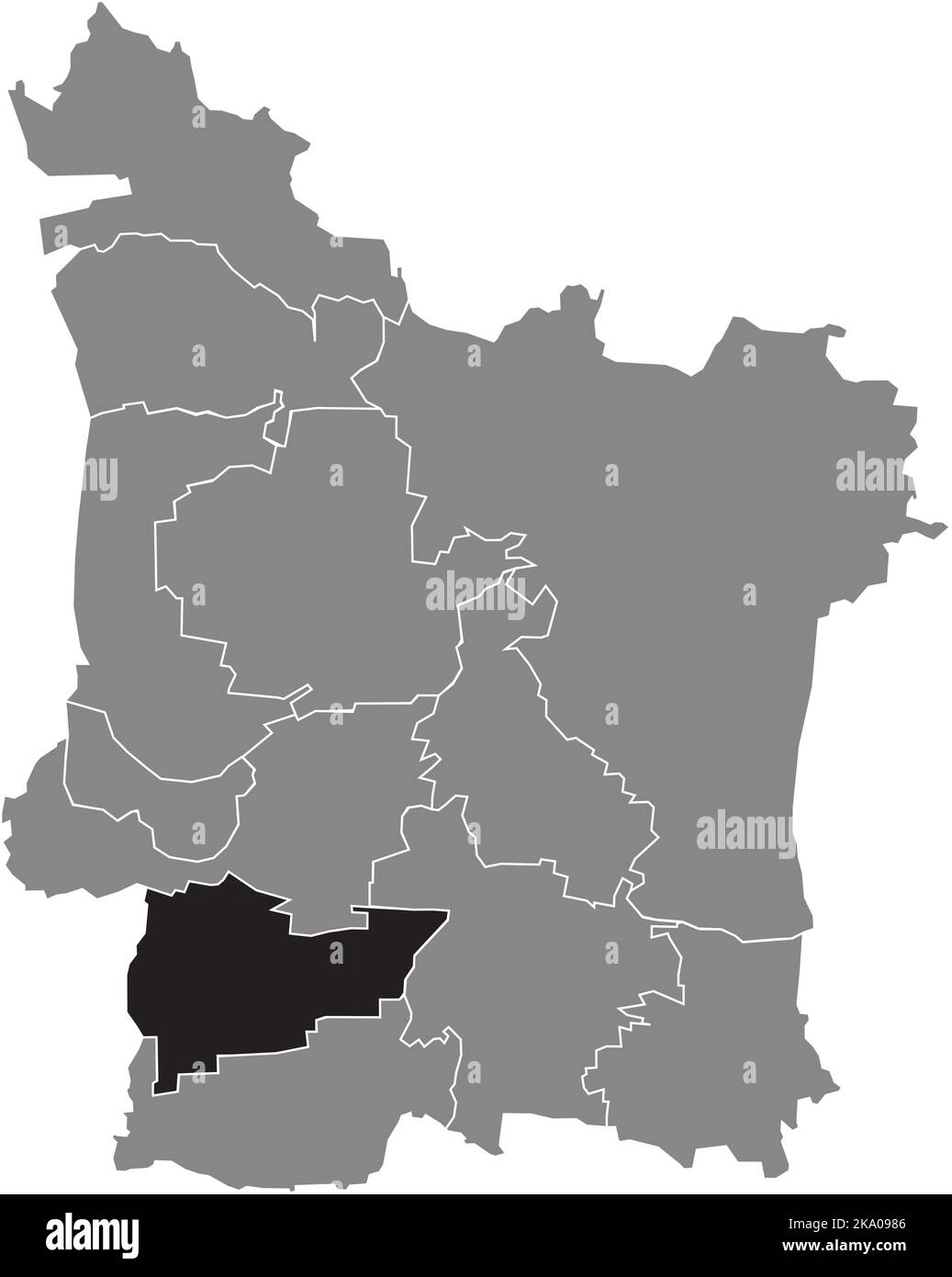 Lageplan des KREISES KRIEGENBRUNN, ERLANGEN Stock Vektorhttps://www.alamy.de/image-license-details/?v=1https://www.alamy.de/lageplan-des-kreises-kriegenbrunn-erlangen-image488044150.html
RF2KA0986–Lageplan des KREISES KRIEGENBRUNN, ERLANGEN
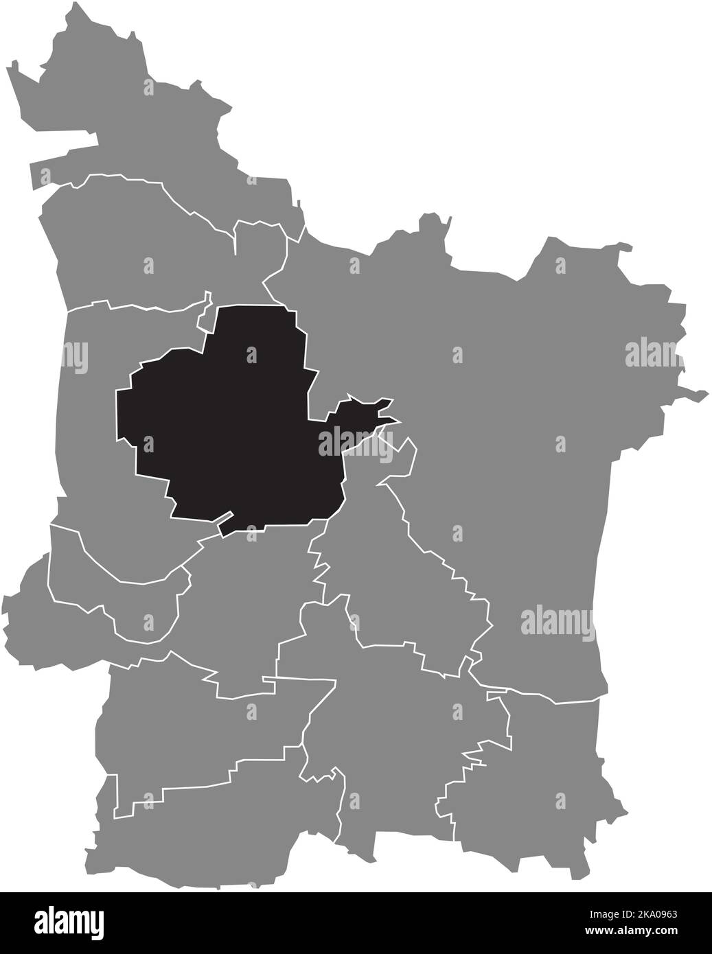 Lageplan des BEZIRKS BÜCHENBACH, ERLANGEN Stock Vektorhttps://www.alamy.de/image-license-details/?v=1https://www.alamy.de/lageplan-des-bezirks-buchenbach-erlangen-image488044091.html
RF2KA0963–Lageplan des BEZIRKS BÜCHENBACH, ERLANGEN
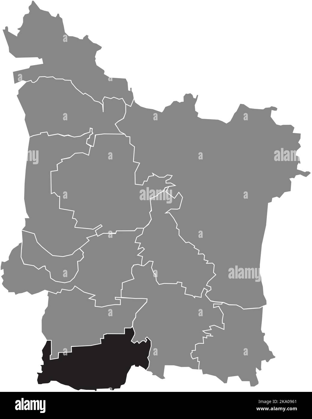 Lageplan des BEZIRKS HÜTTENDORF, ERLANGEN Stock Vektorhttps://www.alamy.de/image-license-details/?v=1https://www.alamy.de/lageplan-des-bezirks-huttendorf-erlangen-image488044089.html
RF2KA0961–Lageplan des BEZIRKS HÜTTENDORF, ERLANGEN
 Lageplan des BEZIRKS ERLANGEN, ERLANGEN Stock Vektorhttps://www.alamy.de/image-license-details/?v=1https://www.alamy.de/lageplan-des-bezirks-erlangen-erlangen-image488044029.html
RF2KA093W–Lageplan des BEZIRKS ERLANGEN, ERLANGEN
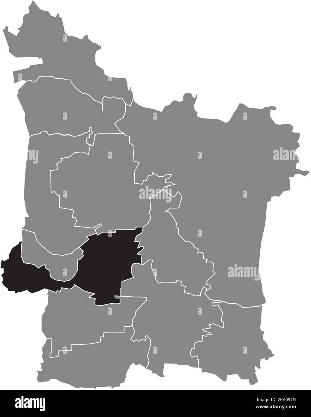 Lageplan des BEZIRKS FRAUENAURACH, ERLANGEN Stock Vektorhttps://www.alamy.de/image-license-details/?v=1https://www.alamy.de/lageplan-des-bezirks-frauenaurach-erlangen-image488044137.html
RF2KA097N–Lageplan des BEZIRKS FRAUENAURACH, ERLANGEN
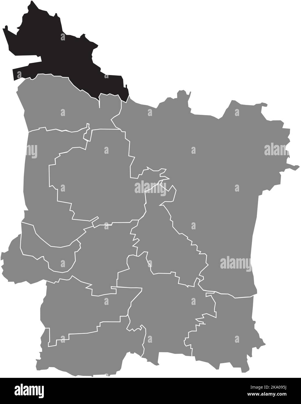 Lageplan des BEZIRKS GROSSDECHSENDORF, ERLANGEN Stock Vektorhttps://www.alamy.de/image-license-details/?v=1https://www.alamy.de/lageplan-des-bezirks-grossdechsendorf-erlangen-image488044078.html
RF2KA095J–Lageplan des BEZIRKS GROSSDECHSENDORF, ERLANGEN
 Lageplan des STADTTEILS BRUCK, ERLANGEN Stock Vektorhttps://www.alamy.de/image-license-details/?v=1https://www.alamy.de/lageplan-des-stadtteils-bruck-erlangen-image488044080.html
RF2KA095M–Lageplan des STADTTEILS BRUCK, ERLANGEN
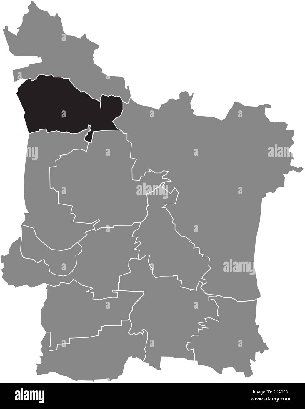 Lageplan des STADTTEILS MÖNAU, ERLANGEN Stock Vektorhttps://www.alamy.de/image-license-details/?v=1https://www.alamy.de/lageplan-des-stadtteils-monau-erlangen-image488044145.html
RF2KA0981–Lageplan des STADTTEILS MÖNAU, ERLANGEN
 Lageplan des BEZIRKS KosBACH, ERLANGEN Stock Vektorhttps://www.alamy.de/image-license-details/?v=1https://www.alamy.de/lageplan-des-bezirks-kosbach-erlangen-image488044139.html
RF2KA097R–Lageplan des BEZIRKS KosBACH, ERLANGEN
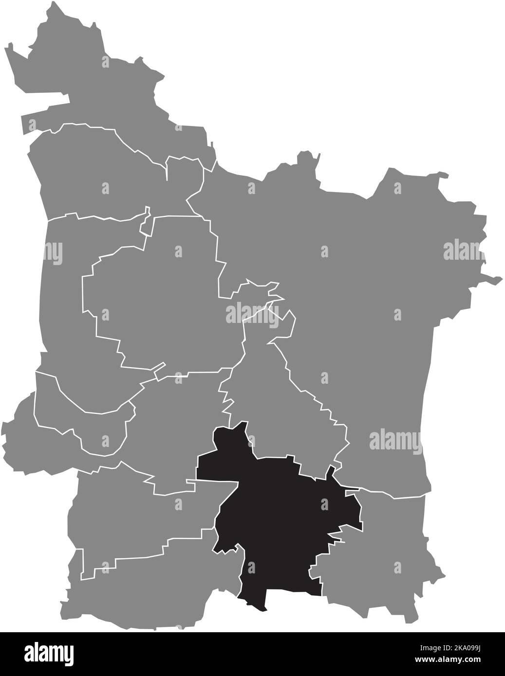 Lageplan des STADTTEILS ELTERSDORF, ERLANGEN Stock Vektorhttps://www.alamy.de/image-license-details/?v=1https://www.alamy.de/lageplan-des-stadtteils-eltersdorf-erlangen-image488044190.html
RF2KA099J–Lageplan des STADTTEILS ELTERSDORF, ERLANGEN
 Lageplan des BEZIRKS TENNENLOHE, ERLANGEN Stock Vektorhttps://www.alamy.de/image-license-details/?v=1https://www.alamy.de/lageplan-des-bezirks-tennenlohe-erlangen-image488044027.html
RF2KA093R–Lageplan des BEZIRKS TENNENLOHE, ERLANGEN
 Lageplan des STADTTEILS KLOSTERWALD, ERLANGEN Stock Vektorhttps://www.alamy.de/image-license-details/?v=1https://www.alamy.de/lageplan-des-stadtteils-klosterwald-erlangen-image488044076.html
RF2KA095G–Lageplan des STADTTEILS KLOSTERWALD, ERLANGEN
 Lageplan des STADTTEILS HEUCHELHOF, WÜRZBURG Stock Vektorhttps://www.alamy.de/image-license-details/?v=1https://www.alamy.de/lageplan-des-stadtteils-heuchelhof-wurzburg-image478555050.html
RF2JPG1RP–Lageplan des STADTTEILS HEUCHELHOF, WÜRZBURG
 Lageplan des BEZIRKS LENGFELD, WÜRZBURG Stock Vektorhttps://www.alamy.de/image-license-details/?v=1https://www.alamy.de/lageplan-des-bezirks-lengfeld-wurzburg-image478554963.html
RF2JPG1MK–Lageplan des BEZIRKS LENGFELD, WÜRZBURG
 Lageplan der ALTSTADT, WÜRZBURG Stock Vektorhttps://www.alamy.de/image-license-details/?v=1https://www.alamy.de/lageplan-der-altstadt-wurzburg-image478554658.html
RF2JPG19P–Lageplan der ALTSTADT, WÜRZBURG
 Lageplan des BEZIRKS ZELLERAU, WÜRZBURG Stock Vektorhttps://www.alamy.de/image-license-details/?v=1https://www.alamy.de/lageplan-des-bezirks-zellerau-wurzburg-image478554834.html
RF2JPG1G2–Lageplan des BEZIRKS ZELLERAU, WÜRZBURG
 Lageplan des BEZIRKS STEINBACHTAL, WÜRZBURG Stock Vektorhttps://www.alamy.de/image-license-details/?v=1https://www.alamy.de/lageplan-des-bezirks-steinbachtal-wurzburg-image478555047.html
RF2JPG1RK–Lageplan des BEZIRKS STEINBACHTAL, WÜRZBURG
 Lageplan des BEZIRKS FRAUENLAND, WÜRZBURG Stock Vektorhttps://www.alamy.de/image-license-details/?v=1https://www.alamy.de/lageplan-des-bezirks-frauenland-wurzburg-image478554802.html
RF2JPG1EX–Lageplan des BEZIRKS FRAUENLAND, WÜRZBURG
 Lageplan des STADTTEILS GROMBÜHL, WÜRZBURG Stock Vektorhttps://www.alamy.de/image-license-details/?v=1https://www.alamy.de/lageplan-des-stadtteils-grombuhl-wurzburg-image478555049.html
RF2JPG1RN–Lageplan des STADTTEILS GROMBÜHL, WÜRZBURG
 Lageplan des BEZIRKS HEIDINGSFELD, WÜRZBURG Stock Vektorhttps://www.alamy.de/image-license-details/?v=1https://www.alamy.de/lageplan-des-bezirks-heidingsfeld-wurzburg-image478554837.html
RF2JPG1G5–Lageplan des BEZIRKS HEIDINGSFELD, WÜRZBURG
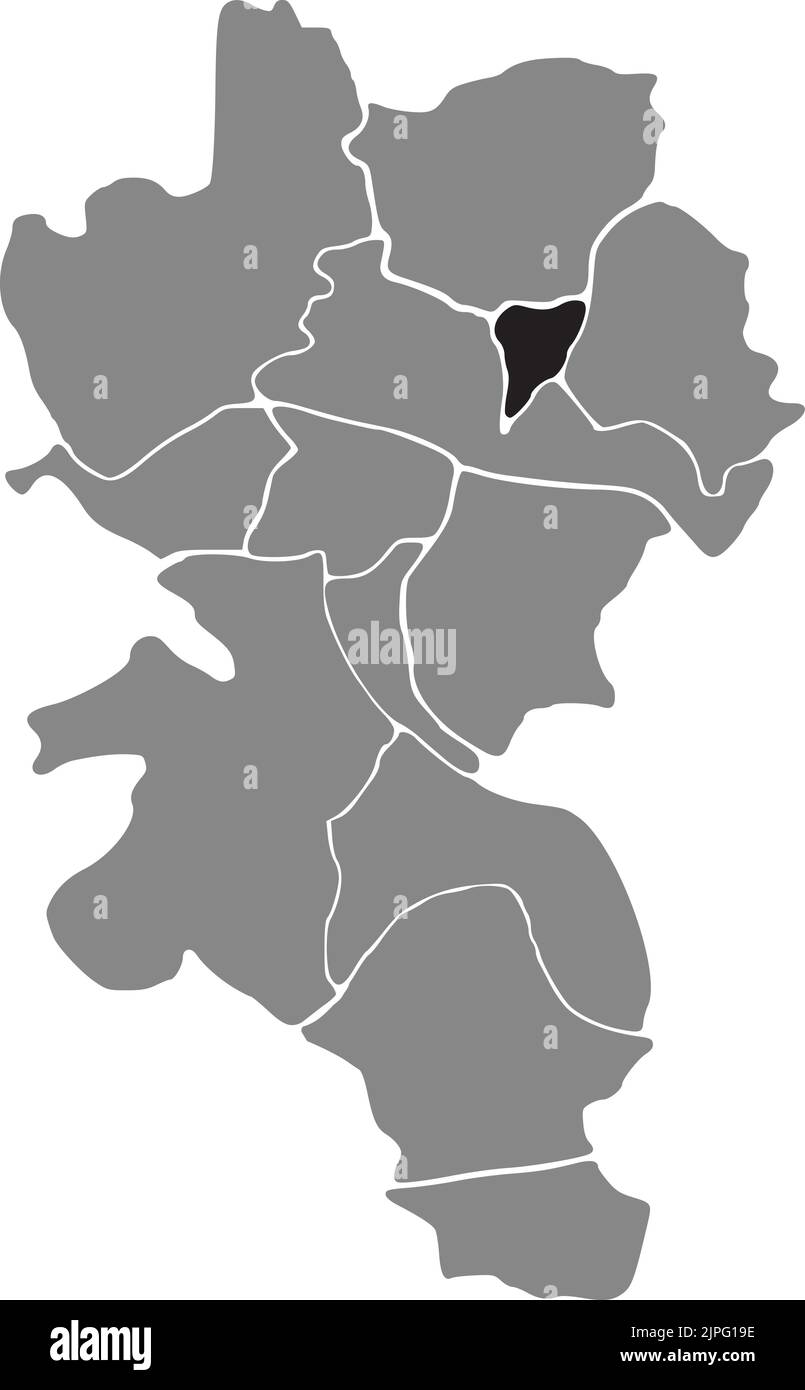 Lageplan des STADTTEILS LINDLEINSMÜHLE, WÜRZBURG Stock Vektorhttps://www.alamy.de/image-license-details/?v=1https://www.alamy.de/lageplan-des-stadtteils-lindleinsmuhle-wurzburg-image478554650.html
RF2JPG19E–Lageplan des STADTTEILS LINDLEINSMÜHLE, WÜRZBURG
 Lageplan des STADTTEILS SANDERAU, WÜRZBURG Stock Vektorhttps://www.alamy.de/image-license-details/?v=1https://www.alamy.de/lageplan-des-stadtteils-sanderau-wurzburg-image478555092.html
RF2JPG1W8–Lageplan des STADTTEILS SANDERAU, WÜRZBURG
 Lageplan des BEZIRKS VERSBACH, WÜRZBURG Stock Vektorhttps://www.alamy.de/image-license-details/?v=1https://www.alamy.de/lageplan-des-bezirks-versbach-wurzburg-image478554715.html
RF2JPG1BR–Lageplan des BEZIRKS VERSBACH, WÜRZBURG
 Lageplan des STADTTEILS DÜRRBACHTAL, WÜRZBURG Stock Vektorhttps://www.alamy.de/image-license-details/?v=1https://www.alamy.de/lageplan-des-stadtteils-durrbachtal-wurzburg-image478554835.html
RF2JPG1G3–Lageplan des STADTTEILS DÜRRBACHTAL, WÜRZBURG
 Lageplan des BEZIRKS LENGFELD, WÜRZBURG Stock Vektorhttps://www.alamy.de/image-license-details/?v=1https://www.alamy.de/lageplan-des-bezirks-lengfeld-wurzburg-image478554839.html
RF2JPG1G7–Lageplan des BEZIRKS LENGFELD, WÜRZBURG
 Lageplan des STADTTEILS WIXHAUSEN, DARMSTADT Stock Vektorhttps://www.alamy.de/image-license-details/?v=1https://www.alamy.de/lageplan-des-stadtteils-wixhausen-darmstadt-image478317427.html
RF2JP56N7–Lageplan des STADTTEILS WIXHAUSEN, DARMSTADT
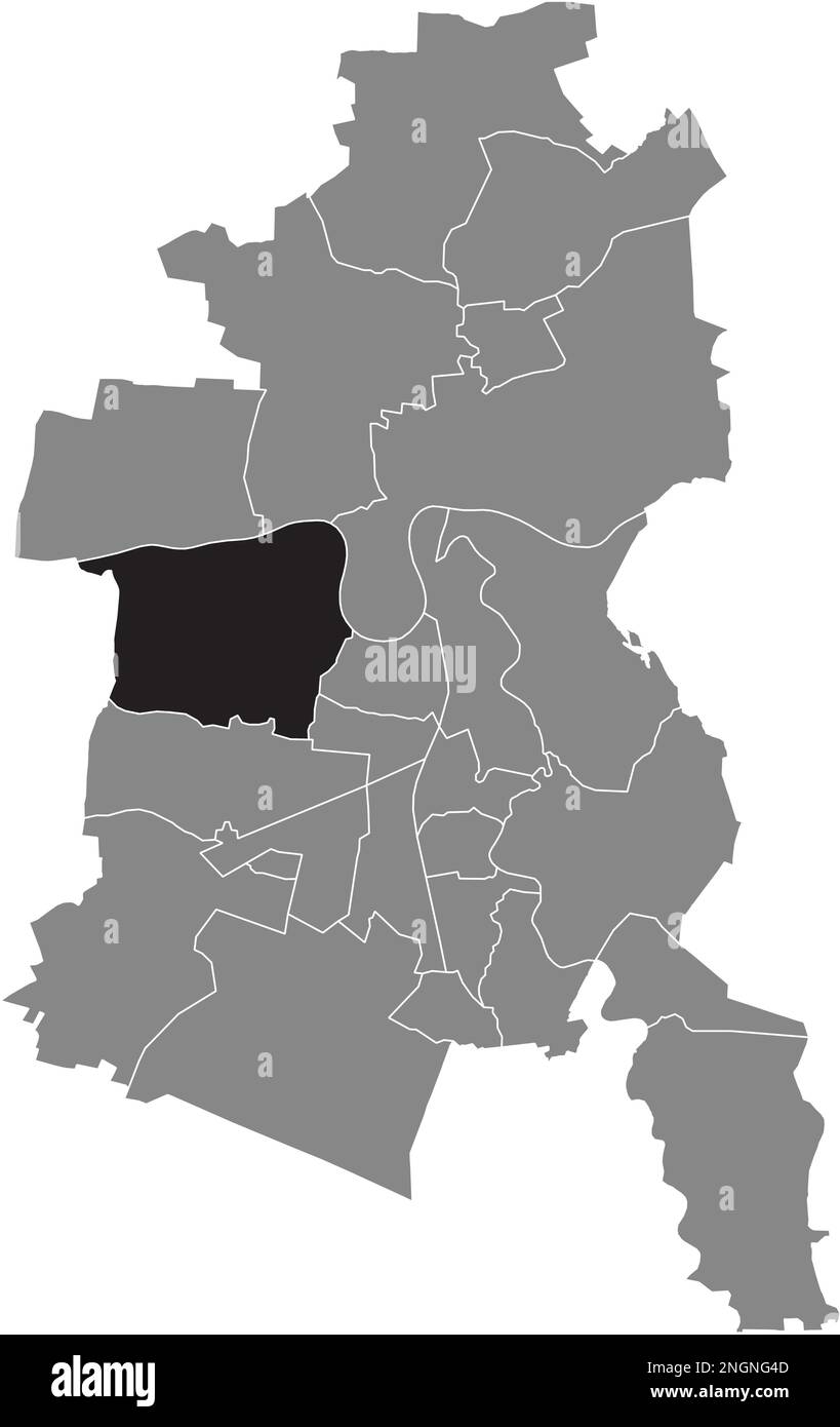 Lageplan der GROSSKÜHNAU BOROUGH, DESSAU Stock Vektorhttps://www.alamy.de/image-license-details/?v=1https://www.alamy.de/lageplan-der-grosskuhnau-borough-dessau-image526619197.html
RF2NGNG4D–Lageplan der GROSSKÜHNAU BOROUGH, DESSAU
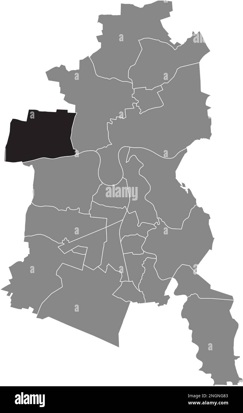 Ortungskarte des BRAMBACH-BEZIRKS, DESSAU Stock Vektorhttps://www.alamy.de/image-license-details/?v=1https://www.alamy.de/ortungskarte-des-brambach-bezirks-dessau-image526619299.html
RF2NGNG83–Ortungskarte des BRAMBACH-BEZIRKS, DESSAU
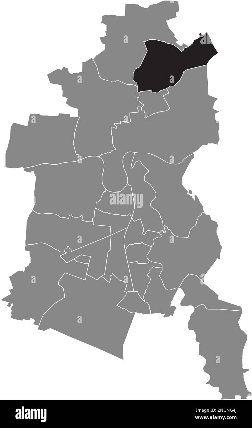 Lageplan des MÜHLSTEDT BOROUGH, DESSAU Stock Vektorhttps://www.alamy.de/image-license-details/?v=1https://www.alamy.de/lageplan-des-muhlstedt-borough-dessau-image526619202.html
RF2NGNG4J–Lageplan des MÜHLSTEDT BOROUGH, DESSAU
 Lageplan des KOCHSTEDT BOROUGH, DESSAU Stock Vektorhttps://www.alamy.de/image-license-details/?v=1https://www.alamy.de/lageplan-des-kochstedt-borough-dessau-image526618919.html
RF2NGNFPF–Lageplan des KOCHSTEDT BOROUGH, DESSAU
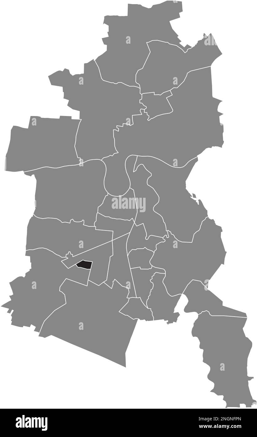 Ortskarte des ZOBERBERG BOROUGH, DESSAU Stock Vektorhttps://www.alamy.de/image-license-details/?v=1https://www.alamy.de/ortskarte-des-zoberberg-borough-dessau-image526618925.html
RF2NGNFPN–Ortskarte des ZOBERBERG BOROUGH, DESSAU
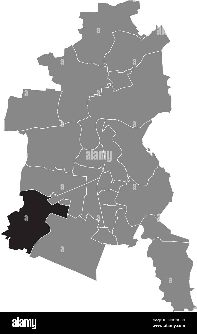 Ortskarte des MOSIGKAU BOROUGH, DESSAU Stock Vektorhttps://www.alamy.de/image-license-details/?v=1https://www.alamy.de/ortskarte-des-mosigkau-borough-dessau-image526619317.html
RF2NGNG8N–Ortskarte des MOSIGKAU BOROUGH, DESSAU
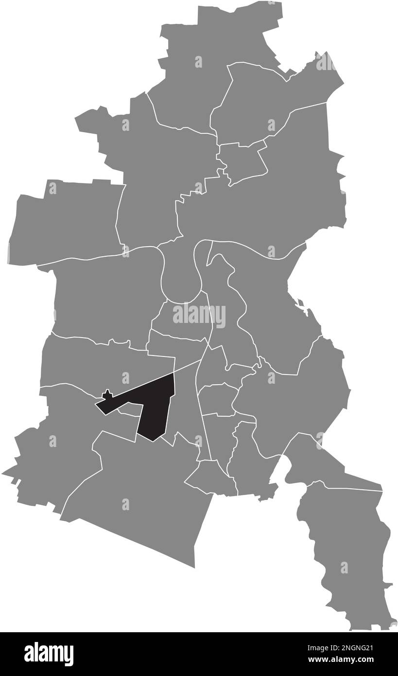 Ortskarte der ALTEN BOROUGH, DESSAU Stock Vektorhttps://www.alamy.de/image-license-details/?v=1https://www.alamy.de/ortskarte-der-alten-borough-dessau-image526619129.html
RF2NGNG21–Ortskarte der ALTEN BOROUGH, DESSAU
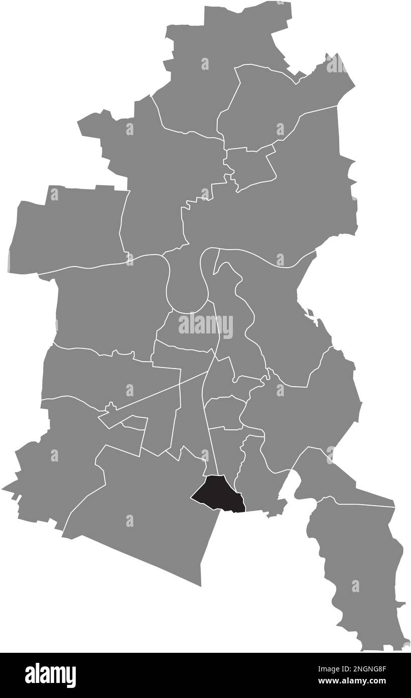 Lageplan der HAIDEBURG BOROUGH, DESSAU Stock Vektorhttps://www.alamy.de/image-license-details/?v=1https://www.alamy.de/lageplan-der-haideburg-borough-dessau-image526619311.html
RF2NGNG8F–Lageplan der HAIDEBURG BOROUGH, DESSAU
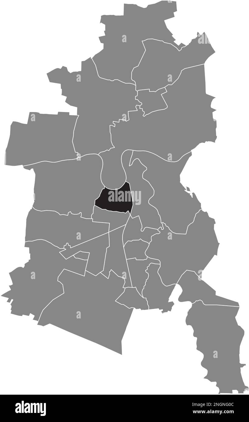 Ortskarte des ZIEBIGK BOROUGH, DESSAU Stock Vektorhttps://www.alamy.de/image-license-details/?v=1https://www.alamy.de/ortskarte-des-ziebigk-borough-dessau-image526619084.html
RF2NGNG0C–Ortskarte des ZIEBIGK BOROUGH, DESSAU
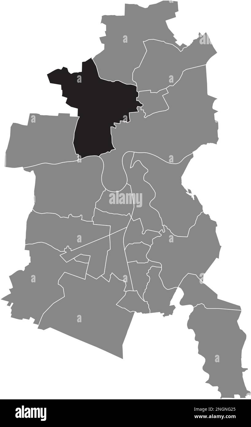 Ortungskarte der RODLEBEN BOROUGH, DESSAU Stock Vektorhttps://www.alamy.de/image-license-details/?v=1https://www.alamy.de/ortungskarte-der-rodleben-borough-dessau-image526619133.html
RF2NGNG25–Ortungskarte der RODLEBEN BOROUGH, DESSAU
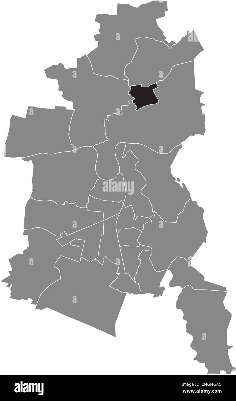 Ortskarte der MEINSDORF BOROUGH, DESSAU Stock Vektorhttps://www.alamy.de/image-license-details/?v=1https://www.alamy.de/ortskarte-der-meinsdorf-borough-dessau-image526619368.html
RF2NGNGAG–Ortskarte der MEINSDORF BOROUGH, DESSAU
 Ortskarte des WALDERSEE BOROUGH, DESSAU Stock Vektorhttps://www.alamy.de/image-license-details/?v=1https://www.alamy.de/ortskarte-des-waldersee-borough-dessau-image526619372.html
RF2NGNGAM–Ortskarte des WALDERSEE BOROUGH, DESSAU
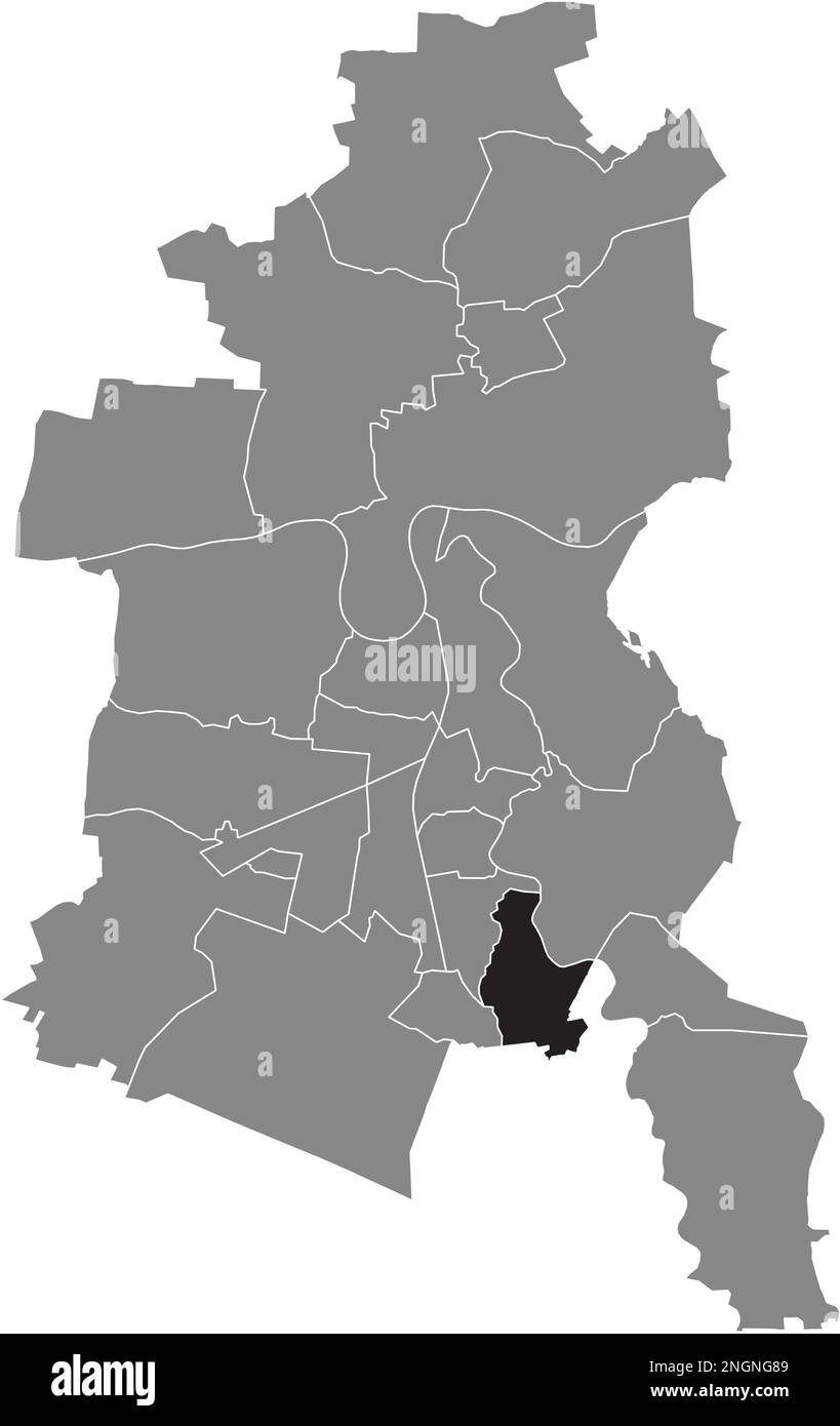 Ortskarte des TÖRTEN-BEZIRKS, DESSAU Stock Vektorhttps://www.alamy.de/image-license-details/?v=1https://www.alamy.de/ortskarte-des-torten-bezirks-dessau-image526619305.html
RF2NGNG89–Ortskarte des TÖRTEN-BEZIRKS, DESSAU
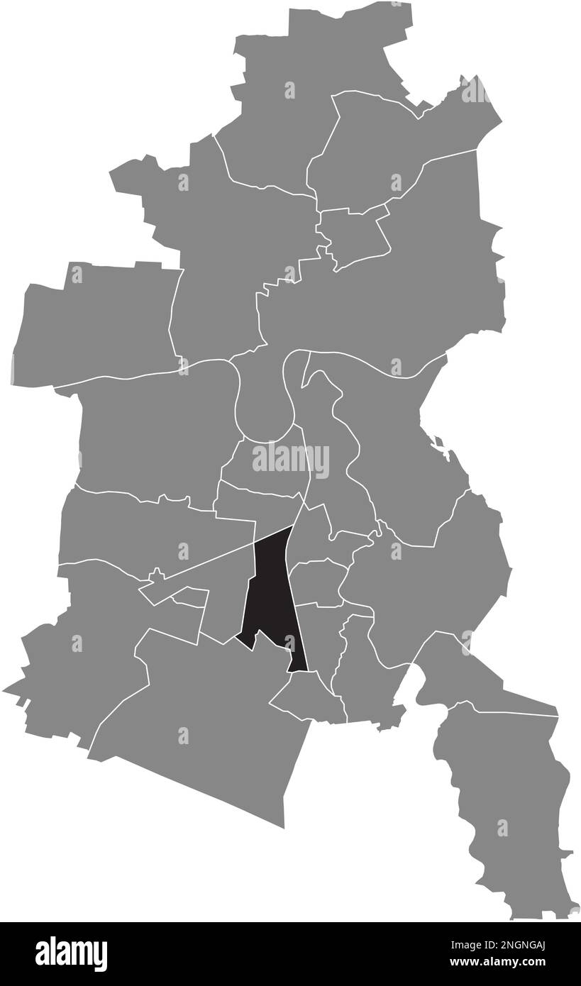 Ortungskarte des WEST BOROUGH, DESSAU Stock Vektorhttps://www.alamy.de/image-license-details/?v=1https://www.alamy.de/ortungskarte-des-west-borough-dessau-image526619370.html
RF2NGNGAJ–Ortungskarte des WEST BOROUGH, DESSAU
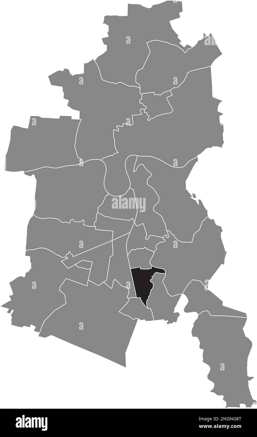 Ortskarte des Süd-BEZIRKS, DESSAU Stock Vektorhttps://www.alamy.de/image-license-details/?v=1https://www.alamy.de/ortskarte-des-sud-bezirks-dessau-image526619320.html
RF2NGNG8T–Ortskarte des Süd-BEZIRKS, DESSAU
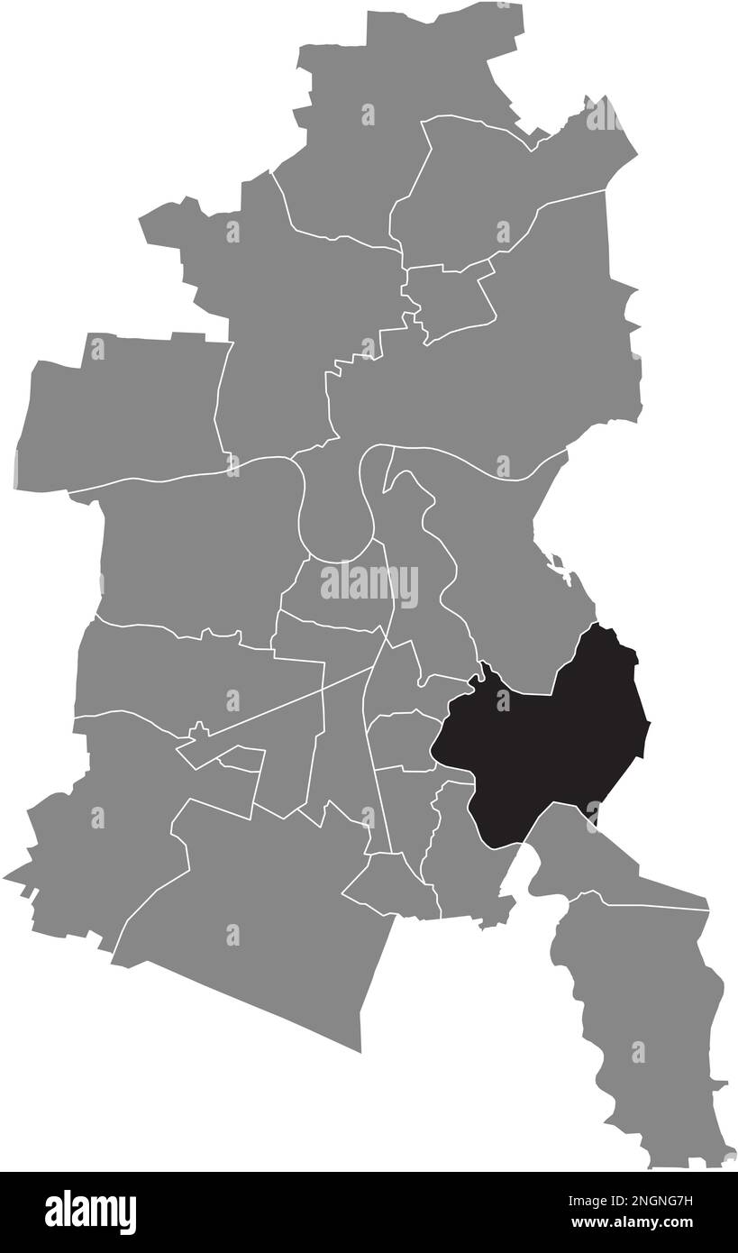 Ortskarte des MILDENSEE BOROUGH, DESSAU Stock Vektorhttps://www.alamy.de/image-license-details/?v=1https://www.alamy.de/ortskarte-des-mildensee-borough-dessau-image526619285.html
RF2NGNG7H–Ortskarte des MILDENSEE BOROUGH, DESSAU
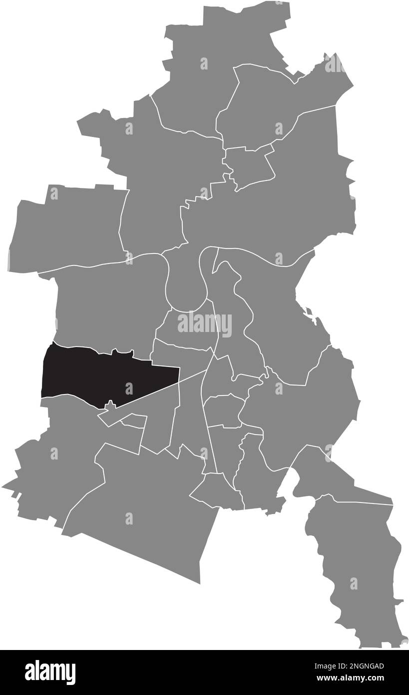 Lageplan des KLEINKÜHNAU BOROUGH, DESSAU Stock Vektorhttps://www.alamy.de/image-license-details/?v=1https://www.alamy.de/lageplan-des-kleinkuhnau-borough-dessau-image526619365.html
RF2NGNGAD–Lageplan des KLEINKÜHNAU BOROUGH, DESSAU
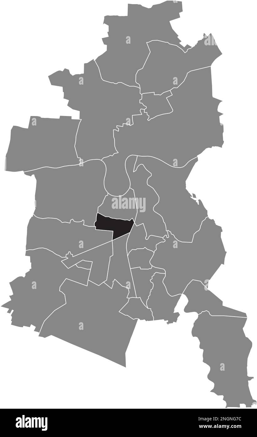 Ortungskarte des SIEDLUNG BOROUGH, DESSAU Stock Vektorhttps://www.alamy.de/image-license-details/?v=1https://www.alamy.de/ortungskarte-des-siedlung-borough-dessau-image526619280.html
RF2NGNG7C–Ortungskarte des SIEDLUNG BOROUGH, DESSAU
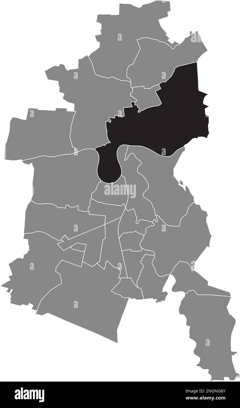 Ortskarte des ROSSLAU BOROUGH, DESSAU Stock Vektorhttps://www.alamy.de/image-license-details/?v=1https://www.alamy.de/ortskarte-des-rosslau-borough-dessau-image526619323.html
RF2NGNG8Y–Ortskarte des ROSSLAU BOROUGH, DESSAU
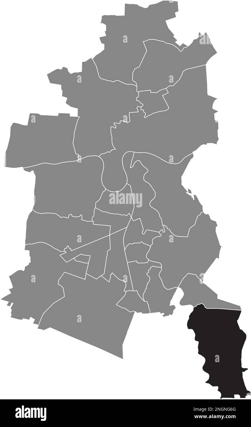 Ortskarte der SOLLNITZ BOROUGH, DESSAU Stock Vektorhttps://www.alamy.de/image-license-details/?v=1https://www.alamy.de/ortskarte-der-sollnitz-borough-dessau-image526619256.html
RF2NGNG6G–Ortskarte der SOLLNITZ BOROUGH, DESSAU
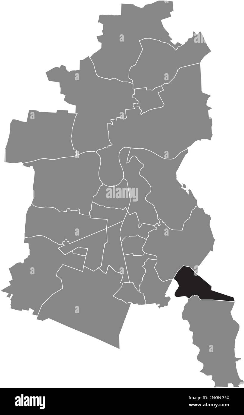 Ortskarte des KLEUTSCH BOROUGH, DESSAU Stock Vektorhttps://www.alamy.de/image-license-details/?v=1https://www.alamy.de/ortskarte-des-kleutsch-borough-dessau-image526619238.html
RF2NGNG5X–Ortskarte des KLEUTSCH BOROUGH, DESSAU
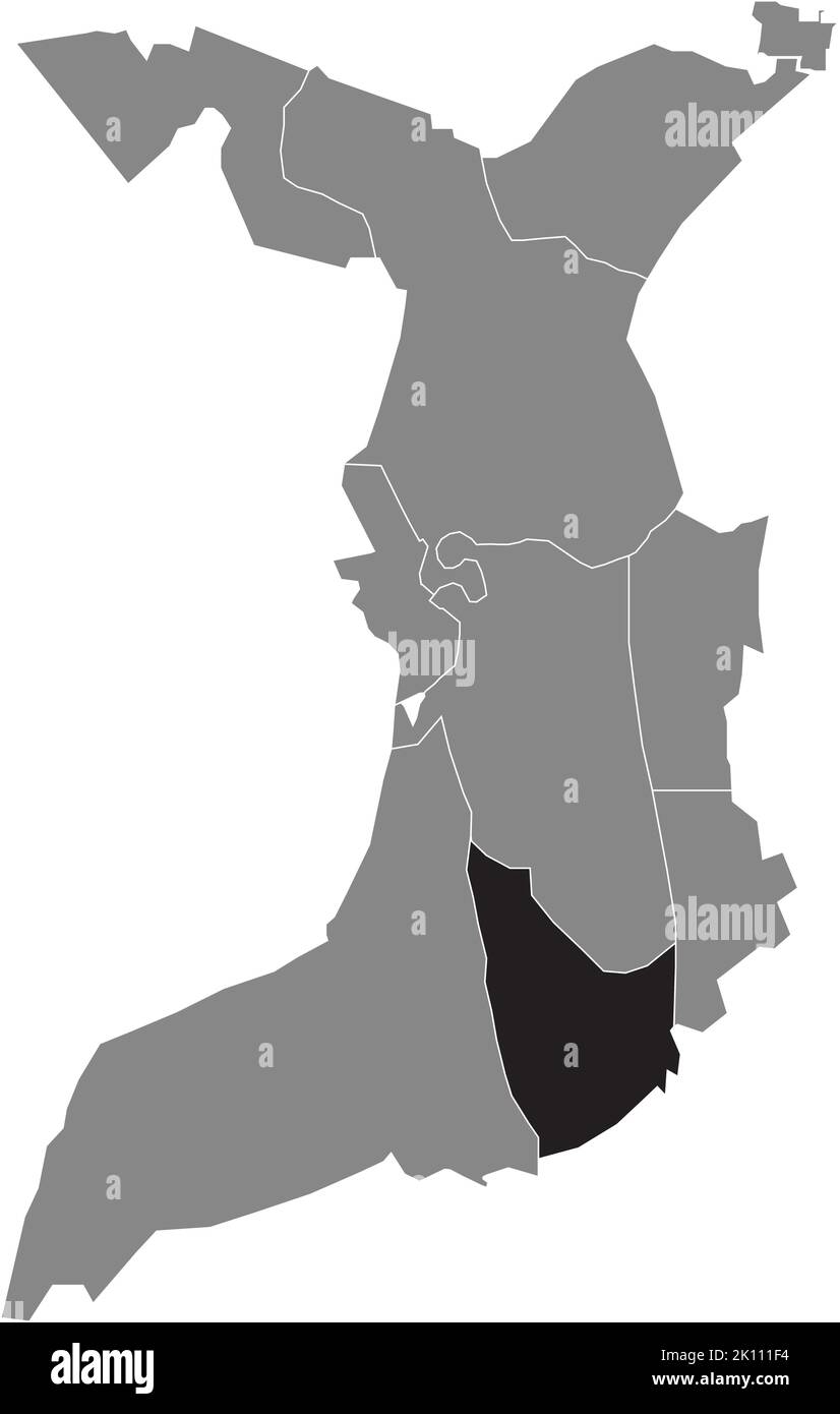 Lageplan des STADTTEILS WULSDORF, BREMERHAVEN Stock Vektorhttps://www.alamy.de/image-license-details/?v=1https://www.alamy.de/lageplan-des-stadtteils-wulsdorf-bremerhaven-image482528120.html
RF2K111F4–Lageplan des STADTTEILS WULSDORF, BREMERHAVEN
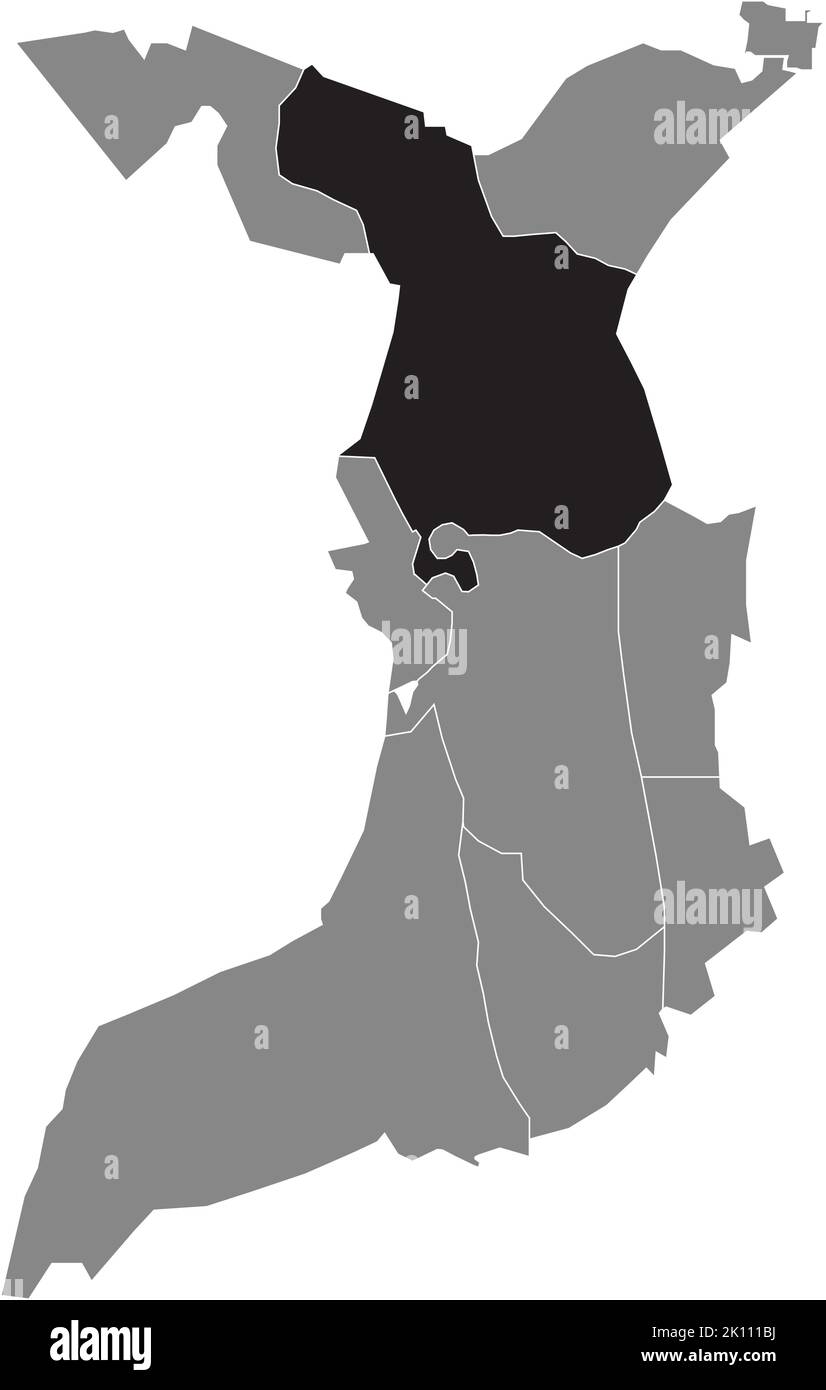 Lageplan des STADTTEILS LEHE, BREMERHAVEN Stock Vektorhttps://www.alamy.de/image-license-details/?v=1https://www.alamy.de/lageplan-des-stadtteils-lehe-bremerhaven-image482528022.html
RF2K111BJ–Lageplan des STADTTEILS LEHE, BREMERHAVEN
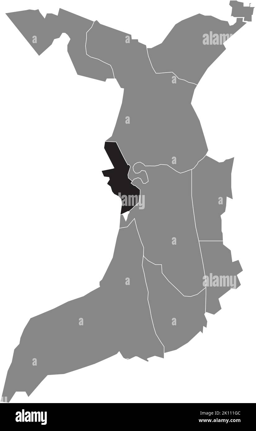 Lageplan des STADTTEILS MITTE, BREMERHAVEN Stock Vektorhttps://www.alamy.de/image-license-details/?v=1https://www.alamy.de/lageplan-des-stadtteils-mitte-bremerhaven-image482528156.html
RF2K111GC–Lageplan des STADTTEILS MITTE, BREMERHAVEN
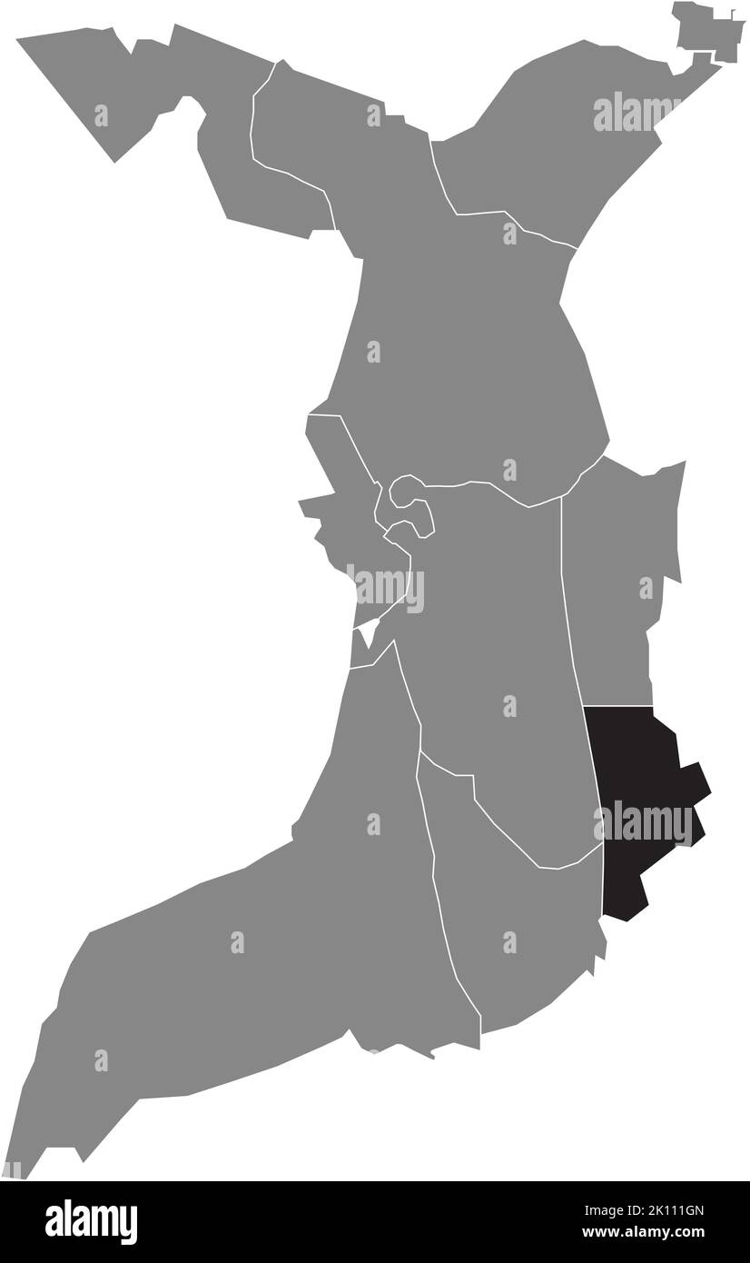 Lageplan des STADTTEILS SURHEIDE, BREMERHAVEN Stock Vektorhttps://www.alamy.de/image-license-details/?v=1https://www.alamy.de/lageplan-des-stadtteils-surheide-bremerhaven-image482528165.html
RF2K111GN–Lageplan des STADTTEILS SURHEIDE, BREMERHAVEN
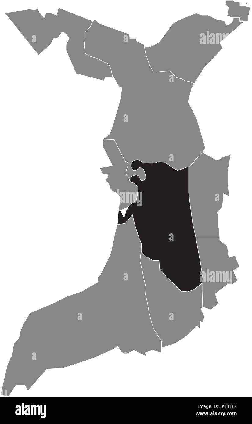 Lageplan des STADTTEILS GEESTEMÜNDE, BREMERHAVEN Stock Vektorhttps://www.alamy.de/image-license-details/?v=1https://www.alamy.de/lageplan-des-stadtteils-geestemunde-bremerhaven-image482528114.html
RF2K111EX–Lageplan des STADTTEILS GEESTEMÜNDE, BREMERHAVEN
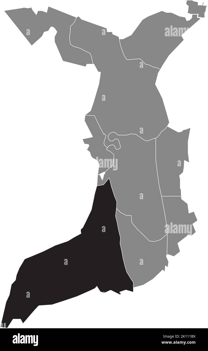 Lageplan des FISCHEREIHAFENS, BREMERHAVEN Stock Vektorhttps://www.alamy.de/image-license-details/?v=1https://www.alamy.de/lageplan-des-fischereihafens-bremerhaven-image482528030.html
RF2K111BX–Lageplan des FISCHEREIHAFENS, BREMERHAVEN
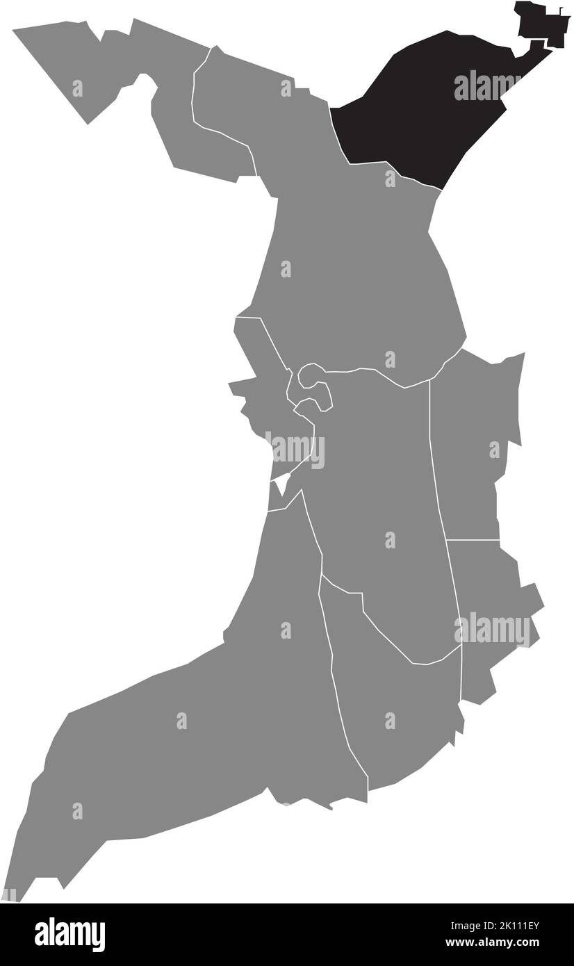 Lageplan des STADTTEILS LEHERHEIDE, BREMERHAVEN Stock Vektorhttps://www.alamy.de/image-license-details/?v=1https://www.alamy.de/lageplan-des-stadtteils-leherheide-bremerhaven-image482528115.html
RF2K111EY–Lageplan des STADTTEILS LEHERHEIDE, BREMERHAVEN
 Locator Karte des BATENBROCK DISTRIKTS, BOTTROP Stock Vektorhttps://www.alamy.de/image-license-details/?v=1https://www.alamy.de/locator-karte-des-batenbrock-distrikts-bottrop-image481272690.html
RF2JXYT6A–Locator Karte des BATENBROCK DISTRIKTS, BOTTROP
 Locator Karte des JUNGEN BEZIRK, BOTTROP Stock Vektorhttps://www.alamy.de/image-license-details/?v=1https://www.alamy.de/locator-karte-des-jungen-bezirk-bottrop-image481271352.html
RF2JXYPEG–Locator Karte des JUNGEN BEZIRK, BOTTROP
 Lageplan des BEZIRKS HOLTHAUSEN, BOTTROP Stock Vektorhttps://www.alamy.de/image-license-details/?v=1https://www.alamy.de/lageplan-des-bezirks-holthausen-bottrop-image481274112.html
RF2JXYX14–Lageplan des BEZIRKS HOLTHAUSEN, BOTTROP
 Lageplan des LANDKREISES FELDHAUSEN, BOTTROP Stock Vektorhttps://www.alamy.de/image-license-details/?v=1https://www.alamy.de/lageplan-des-landkreises-feldhausen-bottrop-image481274669.html
RF2JXYXN1–Lageplan des LANDKREISES FELDHAUSEN, BOTTROP
 Lageplan des FUHLENBROCK DISTRIKTS, BOTTROP Stock Vektorhttps://www.alamy.de/image-license-details/?v=1https://www.alamy.de/lageplan-des-fuhlenbrock-distrikts-bottrop-image481273105.html
RF2JXYTN5–Lageplan des FUHLENBROCK DISTRIKTS, BOTTROP
 Lageplan des BEZIRKS OVERHAGEN, BOTTROP Stock Vektorhttps://www.alamy.de/image-license-details/?v=1https://www.alamy.de/lageplan-des-bezirks-overhagen-bottrop-image481274157.html
RF2JXYX2N–Lageplan des BEZIRKS OVERHAGEN, BOTTROP
 Lageplan des STADTTEILS BOTTROP Stock Vektorhttps://www.alamy.de/image-license-details/?v=1https://www.alamy.de/lageplan-des-stadtteils-bottrop-image481272078.html
RF2JXYRCE–Lageplan des STADTTEILS BOTTROP
 Lageplan des LEHMKUHLE BEZIRKS, BOTTROP Stock Vektorhttps://www.alamy.de/image-license-details/?v=1https://www.alamy.de/lageplan-des-lehmkuhle-bezirks-bottrop-image481274208.html
RF2JXYX4G–Lageplan des LEHMKUHLE BEZIRKS, BOTTROP
 Lageplan des BEZIRKS eigen, BOTTROP Stock Vektorhttps://www.alamy.de/image-license-details/?v=1https://www.alamy.de/lageplan-des-bezirks-eigen-bottrop-image481272171.html
RF2JXYRFR–Lageplan des BEZIRKS eigen, BOTTROP
 Lageplan des EBEL-BEZIRKS, BOTTROP Stock Vektorhttps://www.alamy.de/image-license-details/?v=1https://www.alamy.de/lageplan-des-ebel-bezirks-bottrop-image481272392.html
RF2JXYRRM–Lageplan des EBEL-BEZIRKS, BOTTROP
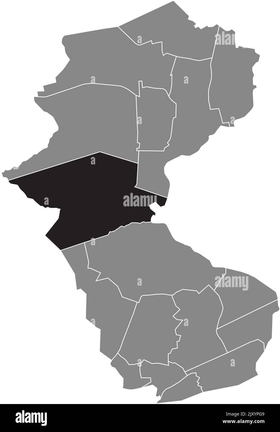 Lageplan des GRAFENWALD-BEZIRKS BOTTROP Stock Vektorhttps://www.alamy.de/image-license-details/?v=1https://www.alamy.de/lageplan-des-grafenwald-bezirks-bottrop-image481271401.html
RF2JXYPG9–Lageplan des GRAFENWALD-BEZIRKS BOTTROP
 Lageplan des BEZIRKS WELHEIM, BOTTROP Stock Vektorhttps://www.alamy.de/image-license-details/?v=1https://www.alamy.de/lageplan-des-bezirks-welheim-bottrop-image481274444.html
RF2JXYXD0–Lageplan des BEZIRKS WELHEIM, BOTTROP
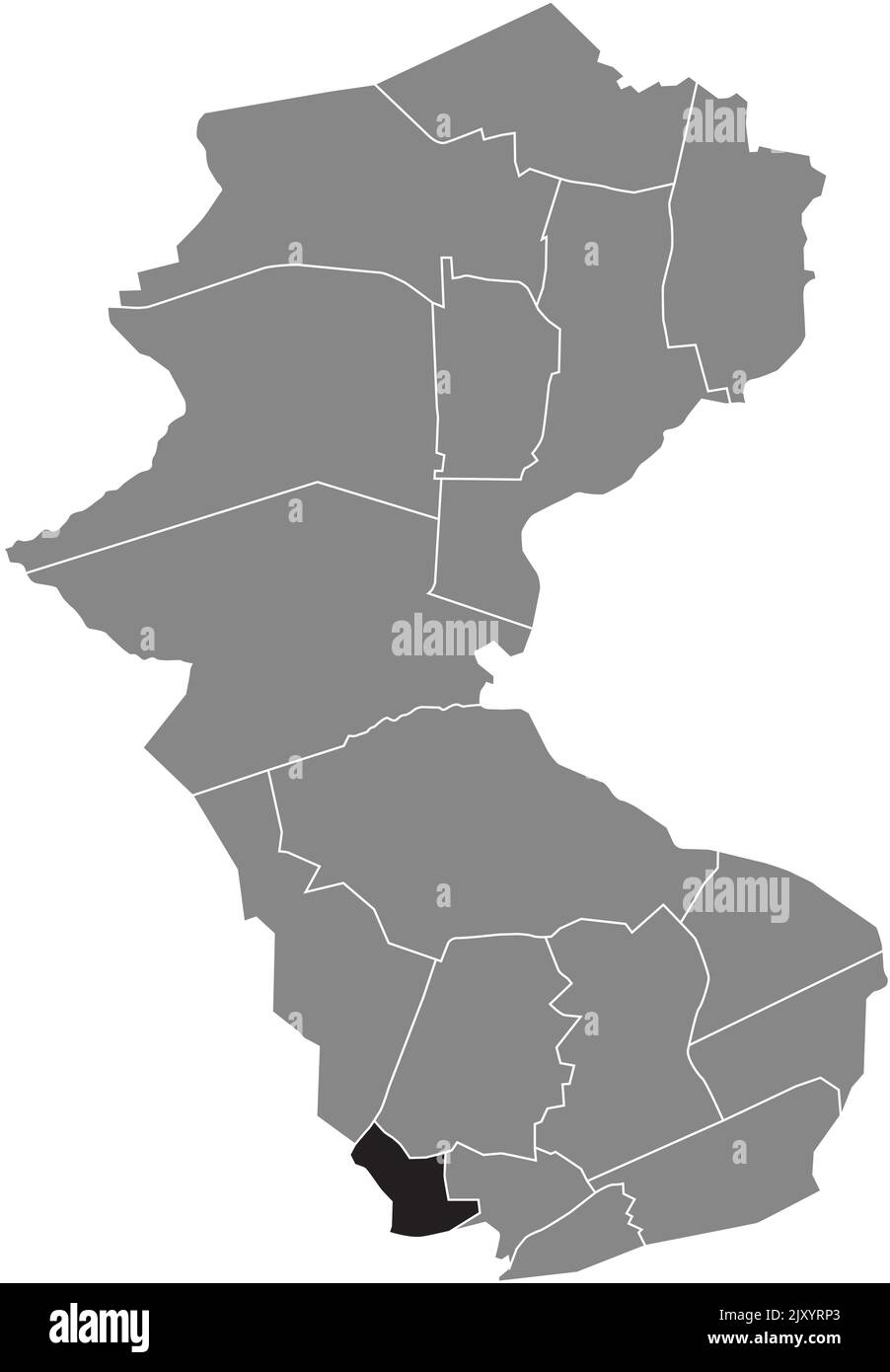 Lageplan des BEZIRKS VONDERORT, BOTTROP Stock Vektorhttps://www.alamy.de/image-license-details/?v=1https://www.alamy.de/lageplan-des-bezirks-vonderort-bottrop-image481272347.html
RF2JXYRP3–Lageplan des BEZIRKS VONDERORT, BOTTROP
 Locator Karte des EKEL DISTRIKTS, BOTTROP Stock Vektorhttps://www.alamy.de/image-license-details/?v=1https://www.alamy.de/locator-karte-des-ekel-distrikts-bottrop-image481273664.html
RF2JXYWD4–Locator Karte des EKEL DISTRIKTS, BOTTROP
 Lageplan des BEZIRKS HARDINGHAUSEN, BOTTROP Stock Vektorhttps://www.alamy.de/image-license-details/?v=1https://www.alamy.de/lageplan-des-bezirks-hardinghausen-bottrop-image481273290.html
RF2JXYTYP–Lageplan des BEZIRKS HARDINGHAUSEN, BOTTROP
 Lageplan des STADTTEILS INNENSTADT, GÖTTINGEN Stock Vektorhttps://www.alamy.de/image-license-details/?v=1https://www.alamy.de/lageplan-des-stadtteils-innenstadt-gottingen-image479976354.html
RF2JTTPMJ–Lageplan des STADTTEILS INNENSTADT, GÖTTINGEN
 Lageplan des STADTTEILS ESEBECK, GÖTTINGEN Stock Vektorhttps://www.alamy.de/image-license-details/?v=1https://www.alamy.de/lageplan-des-stadtteils-esebeck-gottingen-image479976315.html
RF2JTTPK7–Lageplan des STADTTEILS ESEBECK, GÖTTINGEN
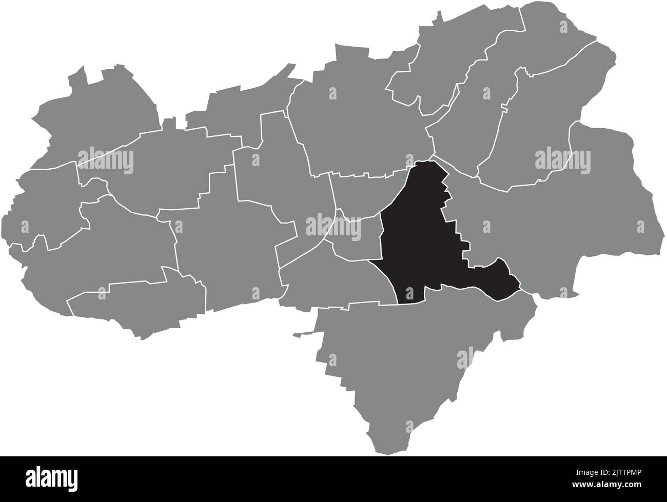 Lageplan des STADTTEILS OSTSTADT, GÖTTINGEN Stock Vektorhttps://www.alamy.de/image-license-details/?v=1https://www.alamy.de/lageplan-des-stadtteils-oststadt-gottingen-image479976358.html
RF2JTTPMP–Lageplan des STADTTEILS OSTSTADT, GÖTTINGEN
 Lageplan des STADTTEILS SÜDSTADT, GÖTTINGEN Stock Vektorhttps://www.alamy.de/image-license-details/?v=1https://www.alamy.de/lageplan-des-stadtteils-sudstadt-gottingen-image479976238.html
RF2JTTPGE–Lageplan des STADTTEILS SÜDSTADT, GÖTTINGEN
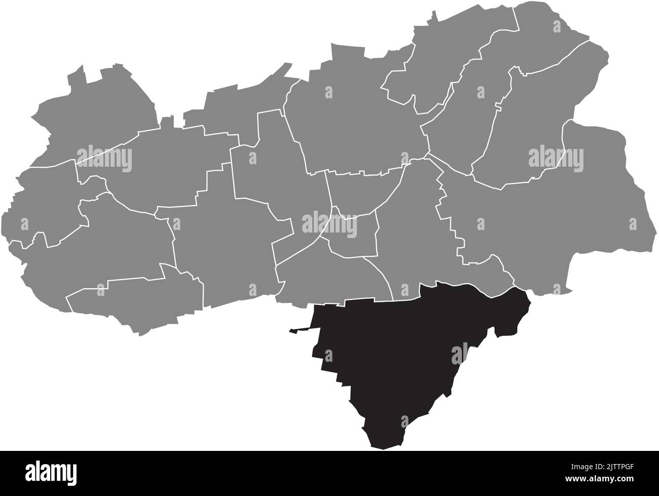 Lageplan des KREISES GEISMAR, GÖTTINGEN Stock Vektorhttps://www.alamy.de/image-license-details/?v=1https://www.alamy.de/lageplan-des-kreises-geismar-gottingen-image479976239.html
RF2JTTPGF–Lageplan des KREISES GEISMAR, GÖTTINGEN
 Lageplan des BEZIRKS GRONE, GÖTTINGEN Stock Vektorhttps://www.alamy.de/image-license-details/?v=1https://www.alamy.de/lageplan-des-bezirks-grone-gottingen-image479976245.html
RF2JTTPGN–Lageplan des BEZIRKS GRONE, GÖTTINGEN
 Lageplan des BEZIRKS HOLTENSEN, GÖTTINGEN Stock Vektorhttps://www.alamy.de/image-license-details/?v=1https://www.alamy.de/lageplan-des-bezirks-holtensen-gottingen-image479976299.html
RF2JTTPJK–Lageplan des BEZIRKS HOLTENSEN, GÖTTINGEN
 Lageplan des BEZIRKS RORINGEN, GÖTTINGEN Stock Vektorhttps://www.alamy.de/image-license-details/?v=1https://www.alamy.de/lageplan-des-bezirks-roringen-gottingen-image479976396.html
RF2JTTPP4–Lageplan des BEZIRKS RORINGEN, GÖTTINGEN
 Lageplan des BEZIRKS DEPPOLDSHAUSEN, GÖTTINGEN Stock Vektorhttps://www.alamy.de/image-license-details/?v=1https://www.alamy.de/lageplan-des-bezirks-deppoldshausen-gottingen-image479976252.html
RF2JTTPH0–Lageplan des BEZIRKS DEPPOLDSHAUSEN, GÖTTINGEN
 Lageplan des STADTTEILS NORDSTADT, GÖTTINGEN Stock Vektorhttps://www.alamy.de/image-license-details/?v=1https://www.alamy.de/lageplan-des-stadtteils-nordstadt-gottingen-image479976313.html
RF2JTTPK5–Lageplan des STADTTEILS NORDSTADT, GÖTTINGEN
 Lageplan des STADTTEILS WESTSTADT, GÖTTINGEN Stock Vektorhttps://www.alamy.de/image-license-details/?v=1https://www.alamy.de/lageplan-des-stadtteils-weststadt-gottingen-image479976312.html
RF2JTTPK4–Lageplan des STADTTEILS WESTSTADT, GÖTTINGEN
 Lageplan des BEZIRKS WEENDE, GÖTTINGEN Stock Vektorhttps://www.alamy.de/image-license-details/?v=1https://www.alamy.de/lageplan-des-bezirks-weende-gottingen-image479976230.html
RF2JTTPG6–Lageplan des BEZIRKS WEENDE, GÖTTINGEN
 Lageplan des STADTTEILS KNUTBÜHREN, GÖTTINGEN Stock Vektorhttps://www.alamy.de/image-license-details/?v=1https://www.alamy.de/lageplan-des-stadtteils-knutbuhren-gottingen-image479976408.html
RF2JTTPPG–Lageplan des STADTTEILS KNUTBÜHREN, GÖTTINGEN
 Lageplan des STADTTEILS ELLIEHAUSEN, GÖTTINGEN Stock Vektorhttps://www.alamy.de/image-license-details/?v=1https://www.alamy.de/lageplan-des-stadtteils-elliehausen-gottingen-image479976451.html
RF2JTTPT3–Lageplan des STADTTEILS ELLIEHAUSEN, GÖTTINGEN

