Bmx track luftdrohne Stockfotos & Bilder
 Kontrovers New Stoke on Trent Multi Story Car Park Hanley Aerial Drone View Stockfotohttps://www.alamy.de/image-license-details/?v=1https://www.alamy.de/kontrovers-new-stoke-on-trent-multi-story-car-park-hanley-aerial-drone-view-image437445519.html
RM2GBKA67–Kontrovers New Stoke on Trent Multi Story Car Park Hanley Aerial Drone View
 BMX Track in Redditch, Worcestershire, während der Sperre 2020. Stockfotohttps://www.alamy.de/image-license-details/?v=1https://www.alamy.de/bmx-track-in-redditch-worcestershire-wahrend-der-sperre-2020-image425860881.html
RM2FMRHW5–BMX Track in Redditch, Worcestershire, während der Sperre 2020.
 Luftaufnahme von BMX-Bahn. Schönen sonnigen Tag. Ipswich, Großbritannien. Stockfotohttps://www.alamy.de/image-license-details/?v=1https://www.alamy.de/luftaufnahme-von-bmx-bahn-schonen-sonnigen-tag-ipswich-grossbritannien-image220865786.html
RFPR98FP–Luftaufnahme von BMX-Bahn. Schönen sonnigen Tag. Ipswich, Großbritannien.
 Luftaufnahme von der Olympischen Velodrom Pringle Gebäude, offiziell Lee Valley VeloPark, gebaut für die Olympischen Spiele 2012 in London Stockfotohttps://www.alamy.de/image-license-details/?v=1https://www.alamy.de/luftaufnahme-von-der-olympischen-velodrom-pringle-gebaude-offiziell-lee-valley-velopark-gebaut-fur-die-olympischen-spiele-2012-in-london-image69583314.html
RME15P6A–Luftaufnahme von der Olympischen Velodrom Pringle Gebäude, offiziell Lee Valley VeloPark, gebaut für die Olympischen Spiele 2012 in London
 Kaitangata und Clutha River, in der Nähe von Balclutha, Clutha District, South Otago, Südinsel, Neuseeland - Drohne Luftbild Stockfotohttps://www.alamy.de/image-license-details/?v=1https://www.alamy.de/stockfoto-kaitangata-und-clutha-river-in-der-nahe-von-balclutha-clutha-district-south-otago-sudinsel-neuseeland-drohne-luftbild-110489013.html
RMGBN5T5–Kaitangata und Clutha River, in der Nähe von Balclutha, Clutha District, South Otago, Südinsel, Neuseeland - Drohne Luftbild
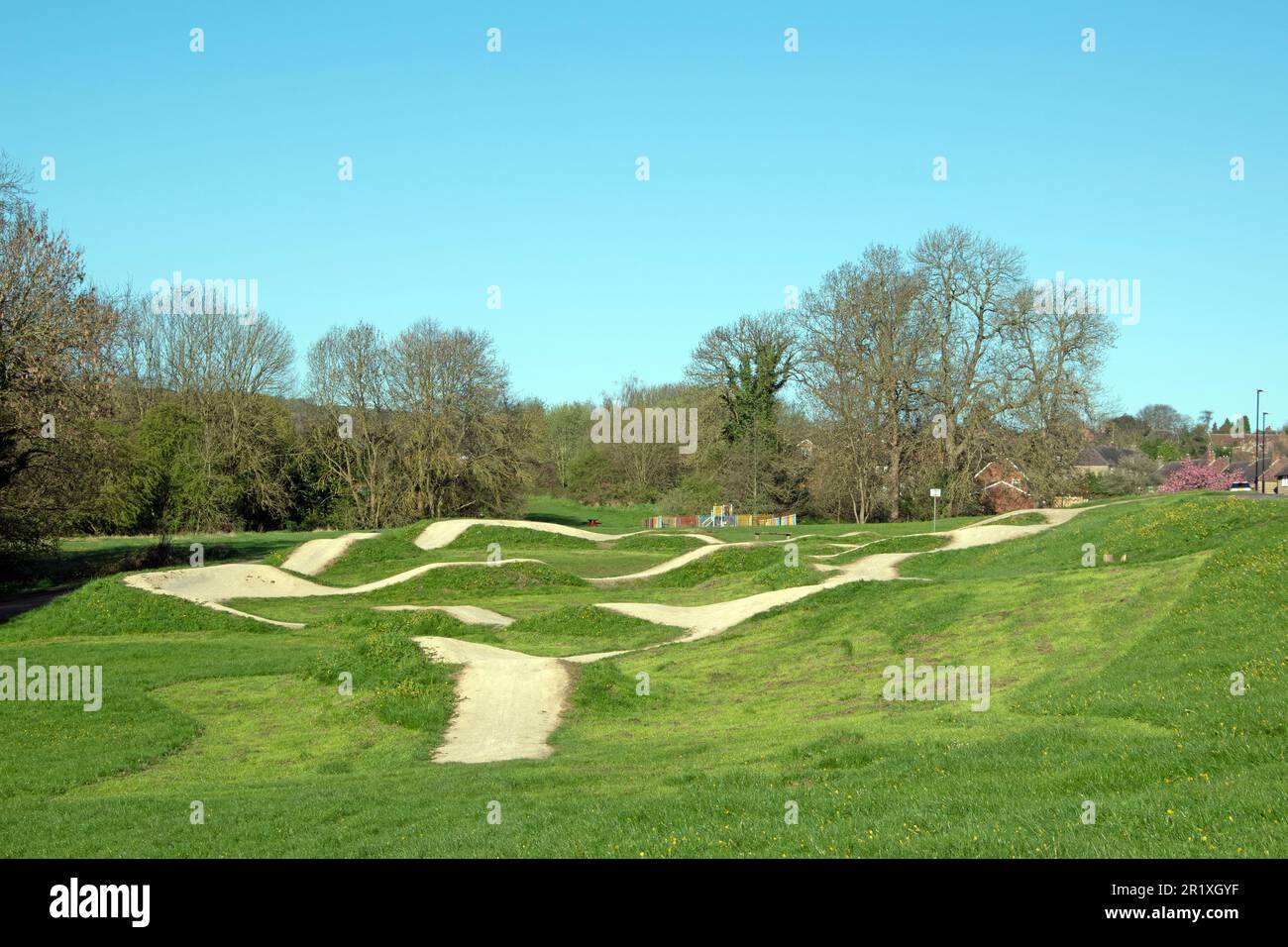 Fahrrad- und bmx-Pumptrack auf einem Feld mit Bäumen an einem Frühlingstag Stockfotohttps://www.alamy.de/image-license-details/?v=1https://www.alamy.de/fahrrad-und-bmx-pumptrack-auf-einem-feld-mit-baumen-an-einem-fruhlingstag-image551930499.html
RF2R1XGYF–Fahrrad- und bmx-Pumptrack auf einem Feld mit Bäumen an einem Frühlingstag
 Blick auf eine Pumpstrecke neben einer Straße und zwei Feldern, Schaffhausen, Schweiz, Europa Stockfotohttps://www.alamy.de/image-license-details/?v=1https://www.alamy.de/blick-auf-eine-pumpstrecke-neben-einer-strasse-und-zwei-feldern-schaffhausen-schweiz-europa-image425822305.html
RF2FMNTKD–Blick auf eine Pumpstrecke neben einer Straße und zwei Feldern, Schaffhausen, Schweiz, Europa
 Drone-Luftaufnahme mit Blick auf einen Velodrom und bmx-Radweg Stockfotohttps://www.alamy.de/image-license-details/?v=1https://www.alamy.de/drone-luftaufnahme-mit-blick-auf-einen-velodrom-und-bmx-radweg-image458352240.html
RF2HHKMXT–Drone-Luftaufnahme mit Blick auf einen Velodrom und bmx-Radweg
 Sie treffen sundet über den Catawba River in Sotuh Carolina Stockfotohttps://www.alamy.de/image-license-details/?v=1https://www.alamy.de/sie-treffen-sundet-uber-den-catawba-river-in-sotuh-carolina-image612482257.html
RF2XGCYA9–Sie treffen sundet über den Catawba River in Sotuh Carolina
 Luftaufnahme eines Teils einer Skateboard-Strecke von oben Stockfotohttps://www.alamy.de/image-license-details/?v=1https://www.alamy.de/luftaufnahme-eines-teils-einer-skateboard-strecke-von-oben-image479111342.html
RF2JRDBBA–Luftaufnahme eines Teils einer Skateboard-Strecke von oben
 Kleine Fahrrad-PUMPENSCHLEIS Kann von BMX und anderen Fahrradfahrern verwendet werden. Mit Schrägkurven und Funktionen, die speziell für das Fahren mit dem Fahrer „pu“ entwickelt wurden Stockfotohttps://www.alamy.de/image-license-details/?v=1https://www.alamy.de/kleine-fahrrad-pumpenschleis-kann-von-bmx-und-anderen-fahrradfahrern-verwendet-werden-mit-schragkurven-und-funktionen-die-speziell-fur-das-fahren-mit-dem-fahrer-pu-entwickelt-wurden-image527733221.html
RF2NJG931–Kleine Fahrrad-PUMPENSCHLEIS Kann von BMX und anderen Fahrradfahrern verwendet werden. Mit Schrägkurven und Funktionen, die speziell für das Fahren mit dem Fahrer „pu“ entwickelt wurden
 Kontrovers New Stoke on Trent Multi Story Car Park Hanley Aerial Drone View Stockfotohttps://www.alamy.de/image-license-details/?v=1https://www.alamy.de/kontrovers-new-stoke-on-trent-multi-story-car-park-hanley-aerial-drone-view-image437445400.html
RM2GBKA20–Kontrovers New Stoke on Trent Multi Story Car Park Hanley Aerial Drone View
 BMX Track in Redditch, Worcestershire, während der Sperre 2020. Stockfotohttps://www.alamy.de/image-license-details/?v=1https://www.alamy.de/bmx-track-in-redditch-worcestershire-wahrend-der-sperre-2020-image425860841.html
RM2FMRHRN–BMX Track in Redditch, Worcestershire, während der Sperre 2020.
 Luftaufnahme von BMX-Bahn. Schönen sonnigen Tag. Ipswich, Großbritannien. Stockfotohttps://www.alamy.de/image-license-details/?v=1https://www.alamy.de/luftaufnahme-von-bmx-bahn-schonen-sonnigen-tag-ipswich-grossbritannien-image220865640.html
RFPR98AG–Luftaufnahme von BMX-Bahn. Schönen sonnigen Tag. Ipswich, Großbritannien.
 Kaitangata und Clutha River, in der Nähe von Balclutha, Clutha District, South Otago, Südinsel, Neuseeland - Drohne Luftbild Stockfotohttps://www.alamy.de/image-license-details/?v=1https://www.alamy.de/stockfoto-kaitangata-und-clutha-river-in-der-nahe-von-balclutha-clutha-district-south-otago-sudinsel-neuseeland-drohne-luftbild-110488984.html
RMGBN5R4–Kaitangata und Clutha River, in der Nähe von Balclutha, Clutha District, South Otago, Südinsel, Neuseeland - Drohne Luftbild
 Blick auf eine Pumpstrecke neben einer Straße und zwei Feldern, von oben nach unten, Schaffhausen, Schweiz, Europa Stockfotohttps://www.alamy.de/image-license-details/?v=1https://www.alamy.de/blick-auf-eine-pumpstrecke-neben-einer-strasse-und-zwei-feldern-von-oben-nach-unten-schaffhausen-schweiz-europa-image425822291.html
RF2FMNTJY–Blick auf eine Pumpstrecke neben einer Straße und zwei Feldern, von oben nach unten, Schaffhausen, Schweiz, Europa
 Dronen-Ansicht eines kreisförmigen Velodroms und einer bmx-Radstrecke Stockfotohttps://www.alamy.de/image-license-details/?v=1https://www.alamy.de/dronen-ansicht-eines-kreisformigen-velodroms-und-einer-bmx-radstrecke-image458352497.html
RF2HHKN81–Dronen-Ansicht eines kreisförmigen Velodroms und einer bmx-Radstrecke
 Der Catawba River im York County, South Carolina, spiegelt sich in einem strahlenden Himmel wider Stockfotohttps://www.alamy.de/image-license-details/?v=1https://www.alamy.de/der-catawba-river-im-york-county-south-carolina-spiegelt-sich-in-einem-strahlenden-himmel-wider-image613294155.html
RF2XHNXXK–Der Catawba River im York County, South Carolina, spiegelt sich in einem strahlenden Himmel wider
 Luftaufnahme einer Skateboard-Strecke, Extremsportkonzept Stockfotohttps://www.alamy.de/image-license-details/?v=1https://www.alamy.de/luftaufnahme-einer-skateboard-strecke-extremsportkonzept-image477898291.html
RF2JNE443–Luftaufnahme einer Skateboard-Strecke, Extremsportkonzept
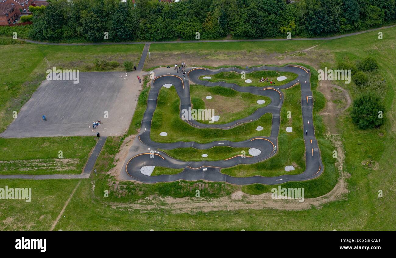 Stoke on Trent Kontroverse BMX-Pumptrack Aeerial Drone View, Kidsgrove Stockfotohttps://www.alamy.de/image-license-details/?v=1https://www.alamy.de/stoke-on-trent-kontroverse-bmx-pumptrack-aeerial-drone-view-kidsgrove-image437445536.html
RM2GBKA6T–Stoke on Trent Kontroverse BMX-Pumptrack Aeerial Drone View, Kidsgrove
 BMX Track in Redditch, Worcestershire, während der Sperre 2020. Stockfotohttps://www.alamy.de/image-license-details/?v=1https://www.alamy.de/bmx-track-in-redditch-worcestershire-wahrend-der-sperre-2020-image425860826.html
RM2FMRHR6–BMX Track in Redditch, Worcestershire, während der Sperre 2020.
 Kaitangata und Clutha River, in der Nähe von Balclutha, Clutha District, South Otago, Südinsel, Neuseeland - Drohne Luftbild Stockfotohttps://www.alamy.de/image-license-details/?v=1https://www.alamy.de/stockfoto-kaitangata-und-clutha-river-in-der-nahe-von-balclutha-clutha-district-south-otago-sudinsel-neuseeland-drohne-luftbild-110489000.html
RMGBN5RM–Kaitangata und Clutha River, in der Nähe von Balclutha, Clutha District, South Otago, Südinsel, Neuseeland - Drohne Luftbild
 Blick auf eine Pumpstrecke neben einer Straße und zwei Feldern, von oben nach unten, Schaffhausen, Schweiz, Europa Stockfotohttps://www.alamy.de/image-license-details/?v=1https://www.alamy.de/blick-auf-eine-pumpstrecke-neben-einer-strasse-und-zwei-feldern-von-oben-nach-unten-schaffhausen-schweiz-europa-image425822251.html
RF2FMNTHF–Blick auf eine Pumpstrecke neben einer Straße und zwei Feldern, von oben nach unten, Schaffhausen, Schweiz, Europa
 Luftaufnahme auf einem Velodrom, bmx-Strecke zwischen Vorstadthäusern Stockfotohttps://www.alamy.de/image-license-details/?v=1https://www.alamy.de/luftaufnahme-auf-einem-velodrom-bmx-strecke-zwischen-vorstadthausern-image458352970.html
RF2HHKNTX–Luftaufnahme auf einem Velodrom, bmx-Strecke zwischen Vorstadthäusern
 Eine Ansicht von oben auf einen Pumptrack, Aschheim, Deutschland Stockfotohttps://www.alamy.de/image-license-details/?v=1https://www.alamy.de/eine-ansicht-von-oben-auf-einen-pumptrack-aschheim-deutschland-image418669842.html
RF2F941JA–Eine Ansicht von oben auf einen Pumptrack, Aschheim, Deutschland
 Stoke on Trent Kontroverse BMX-Pumptrack Aeerial Drone View, Kidsgrove Stockfotohttps://www.alamy.de/image-license-details/?v=1https://www.alamy.de/stoke-on-trent-kontroverse-bmx-pumptrack-aeerial-drone-view-kidsgrove-image437445542.html
RM2GBKA72–Stoke on Trent Kontroverse BMX-Pumptrack Aeerial Drone View, Kidsgrove
 BMX Track in Redditch, Worcestershire, während der Sperre 2020. Stockfotohttps://www.alamy.de/image-license-details/?v=1https://www.alamy.de/bmx-track-in-redditch-worcestershire-wahrend-der-sperre-2020-image425860861.html
RM2FMRHTD–BMX Track in Redditch, Worcestershire, während der Sperre 2020.
 Stoke on Trent Collage Aerial Drone Ansicht von Abriss und Neubau Stockfotohttps://www.alamy.de/image-license-details/?v=1https://www.alamy.de/stoke-on-trent-collage-aerial-drone-ansicht-von-abriss-und-neubau-image438061421.html
RM2GCKBPN–Stoke on Trent Collage Aerial Drone Ansicht von Abriss und Neubau
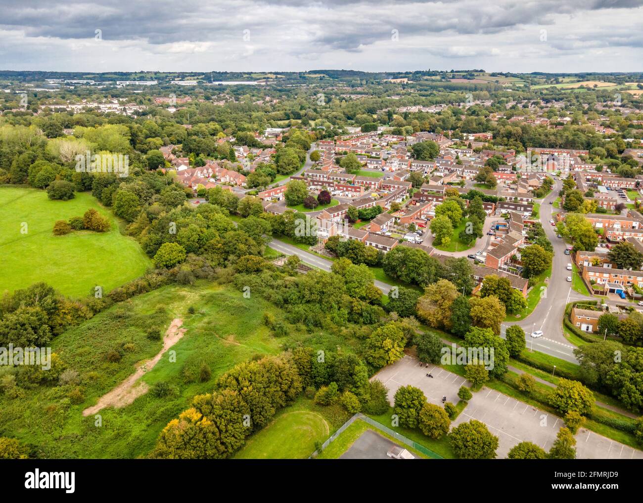 Luftaufnahme von Matchborough West in Redditch, Worcestershire. Stockfotohttps://www.alamy.de/image-license-details/?v=1https://www.alamy.de/luftaufnahme-von-matchborough-west-in-redditch-worcestershire-image425861333.html
RM2FMRJD9–Luftaufnahme von Matchborough West in Redditch, Worcestershire.
 Kaitangata und Clutha River, in der Nähe von Balclutha, Clutha District, South Otago, Südinsel, Neuseeland - Drohne Luftbild Stockfotohttps://www.alamy.de/image-license-details/?v=1https://www.alamy.de/stockfoto-kaitangata-und-clutha-river-in-der-nahe-von-balclutha-clutha-district-south-otago-sudinsel-neuseeland-drohne-luftbild-110488985.html
RMGBN5R5–Kaitangata und Clutha River, in der Nähe von Balclutha, Clutha District, South Otago, Südinsel, Neuseeland - Drohne Luftbild
 Luftaufnahme auf einem Velodrom, bmx-Strecke zwischen Vorstadthäusern Stockfotohttps://www.alamy.de/image-license-details/?v=1https://www.alamy.de/luftaufnahme-auf-einem-velodrom-bmx-strecke-zwischen-vorstadthausern-image458353263.html
RF2HHKP7B–Luftaufnahme auf einem Velodrom, bmx-Strecke zwischen Vorstadthäusern
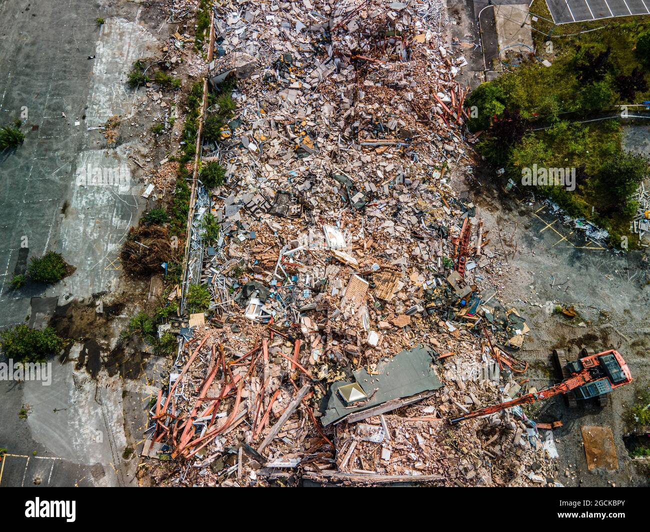 Stoke on Trent Collage Aerial Drone Ansicht von Abriss und Neubau Stockfotohttps://www.alamy.de/image-license-details/?v=1https://www.alamy.de/stoke-on-trent-collage-aerial-drone-ansicht-von-abriss-und-neubau-image438061427.html
RM2GCKBPY–Stoke on Trent Collage Aerial Drone Ansicht von Abriss und Neubau
 Luftaufnahme von Matchborough West in Redditch, Worcestershire. Stockfotohttps://www.alamy.de/image-license-details/?v=1https://www.alamy.de/luftaufnahme-von-matchborough-west-in-redditch-worcestershire-image425861303.html
RM2FMRJC7–Luftaufnahme von Matchborough West in Redditch, Worcestershire.
 Luftaufnahme eines Velodroms und eines bmx-Radwegewegewegees inmitten eines Wohnorts in der Vorstadt Stockfotohttps://www.alamy.de/image-license-details/?v=1https://www.alamy.de/luftaufnahme-eines-velodroms-und-eines-bmx-radwegewegewegees-inmitten-eines-wohnorts-in-der-vorstadt-image458352864.html
RF2HHKNN4–Luftaufnahme eines Velodroms und eines bmx-Radwegewegewegees inmitten eines Wohnorts in der Vorstadt
 Stoke on Trent Collage Aerial Drone Ansicht von Abriss und Neubau Stockfotohttps://www.alamy.de/image-license-details/?v=1https://www.alamy.de/stoke-on-trent-collage-aerial-drone-ansicht-von-abriss-und-neubau-image438061423.html
RM2GCKBPR–Stoke on Trent Collage Aerial Drone Ansicht von Abriss und Neubau
 Luftaufnahme von Matchborough West in Redditch, Worcestershire. Stockfotohttps://www.alamy.de/image-license-details/?v=1https://www.alamy.de/luftaufnahme-von-matchborough-west-in-redditch-worcestershire-image425860730.html
RM2FMRHKP–Luftaufnahme von Matchborough West in Redditch, Worcestershire.
 Matlock Bath Aerial Drone View Derbyshire Stockfotohttps://www.alamy.de/image-license-details/?v=1https://www.alamy.de/matlock-bath-aerial-drone-view-derbyshire-image438508929.html
RM2GDBPH5–Matlock Bath Aerial Drone View Derbyshire
 Eine bmx-Offroad-Radrennstrecke neben einem Velodrom Stockfotohttps://www.alamy.de/image-license-details/?v=1https://www.alamy.de/eine-bmx-offroad-radrennstrecke-neben-einem-velodrom-image458352408.html
RF2HHKN4T–Eine bmx-Offroad-Radrennstrecke neben einem Velodrom
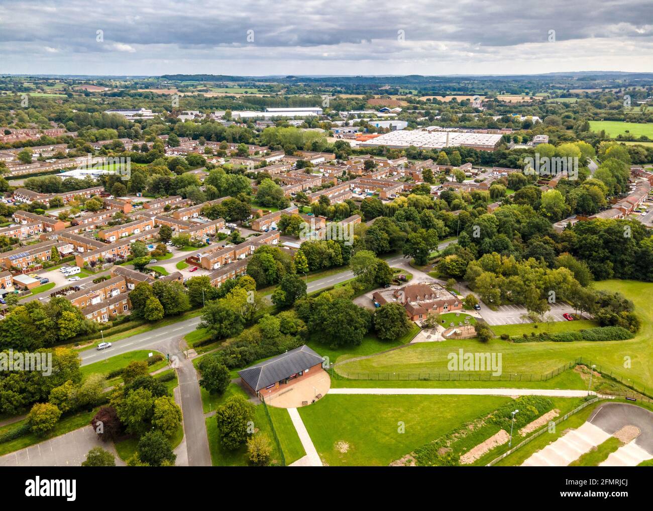 Luftaufnahme von Matchborough West in Redditch, Worcestershire. Stockfotohttps://www.alamy.de/image-license-details/?v=1https://www.alamy.de/luftaufnahme-von-matchborough-west-in-redditch-worcestershire-image425861314.html
RM2FMRJCJ–Luftaufnahme von Matchborough West in Redditch, Worcestershire.
 Matlock Bath Aerial Drone View Derbyshire Stockfotohttps://www.alamy.de/image-license-details/?v=1https://www.alamy.de/matlock-bath-aerial-drone-view-derbyshire-image438509041.html
RM2GDBPN5–Matlock Bath Aerial Drone View Derbyshire
 Luftaufnahme von Ipsley Meadows in Redditch während der Sperre 2020. Stockfotohttps://www.alamy.de/image-license-details/?v=1https://www.alamy.de/luftaufnahme-von-ipsley-meadows-in-redditch-wahrend-der-sperre-2020-image425861436.html
RM2FMRJH0–Luftaufnahme von Ipsley Meadows in Redditch während der Sperre 2020.
 Matlock Bath Aerial Drone View Derbyshire Stockfotohttps://www.alamy.de/image-license-details/?v=1https://www.alamy.de/matlock-bath-aerial-drone-view-derbyshire-image438508862.html
RM2GDBPEP–Matlock Bath Aerial Drone View Derbyshire
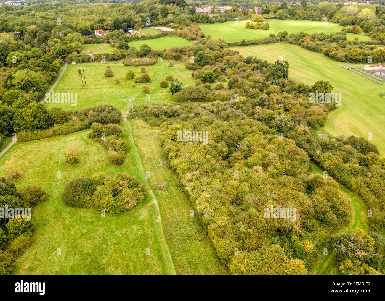 Luftaufnahme von Ipsley Meadows in Redditch während der Sperre 2020. Stockfotohttps://www.alamy.de/image-license-details/?v=1https://www.alamy.de/luftaufnahme-von-ipsley-meadows-in-redditch-wahrend-der-sperre-2020-image425861352.html
RM2FMRJE0–Luftaufnahme von Ipsley Meadows in Redditch während der Sperre 2020.
 Matlock Bath Aerial Drone View Derbyshire Stockfotohttps://www.alamy.de/image-license-details/?v=1https://www.alamy.de/matlock-bath-aerial-drone-view-derbyshire-image438509009.html
RM2GDBPM1–Matlock Bath Aerial Drone View Derbyshire
 Luftaufnahme von Ipsley Meadows in Redditch während der Sperre 2020. Stockfotohttps://www.alamy.de/image-license-details/?v=1https://www.alamy.de/luftaufnahme-von-ipsley-meadows-in-redditch-wahrend-der-sperre-2020-image425861181.html
RM2FMRJ7W–Luftaufnahme von Ipsley Meadows in Redditch während der Sperre 2020.
 Matlock Bath Aerial Drone View Derbyshire Stockfotohttps://www.alamy.de/image-license-details/?v=1https://www.alamy.de/matlock-bath-aerial-drone-view-derbyshire-image438509024.html
RM2GDBPMG–Matlock Bath Aerial Drone View Derbyshire
 Luftaufnahme von Ipsley Meadows in Redditch während der Sperre 2020. Stockfotohttps://www.alamy.de/image-license-details/?v=1https://www.alamy.de/luftaufnahme-von-ipsley-meadows-in-redditch-wahrend-der-sperre-2020-image425860987.html
RM2FMRJ0Y–Luftaufnahme von Ipsley Meadows in Redditch während der Sperre 2020.
 Matlock Bath Aerial Drone View Derbyshire Stockfotohttps://www.alamy.de/image-license-details/?v=1https://www.alamy.de/matlock-bath-aerial-drone-view-derbyshire-image438508940.html
RM2GDBPHG–Matlock Bath Aerial Drone View Derbyshire
 Luftaufnahme von Ipsley Meadows in Redditch während der Sperre 2020. Stockfotohttps://www.alamy.de/image-license-details/?v=1https://www.alamy.de/luftaufnahme-von-ipsley-meadows-in-redditch-wahrend-der-sperre-2020-image425861006.html
RM2FMRJ1J–Luftaufnahme von Ipsley Meadows in Redditch während der Sperre 2020.
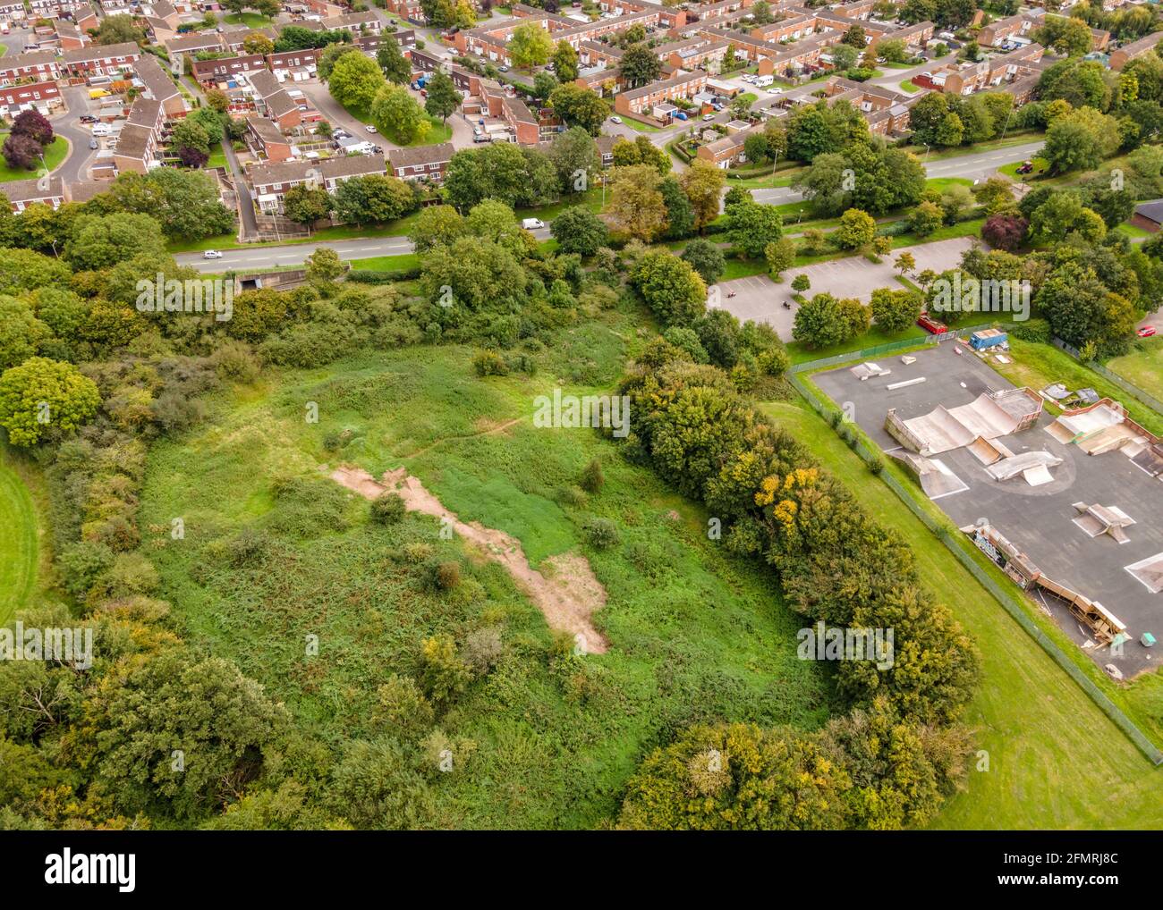 Redditch Skatepark Zerstörung während Lockdown 2020. Stockfotohttps://www.alamy.de/image-license-details/?v=1https://www.alamy.de/redditch-skatepark-zerstorung-wahrend-lockdown-2020-image425861196.html
RM2FMRJ8C–Redditch Skatepark Zerstörung während Lockdown 2020.
 Redditch Skatepark Zerstörung während Lockdown 2020. Stockfotohttps://www.alamy.de/image-license-details/?v=1https://www.alamy.de/redditch-skatepark-zerstorung-wahrend-lockdown-2020-image425861147.html
RM2FMRJ6K–Redditch Skatepark Zerstörung während Lockdown 2020.
 Matlock Bath Aerial Drone View Derbyshire Stockfotohttps://www.alamy.de/image-license-details/?v=1https://www.alamy.de/matlock-bath-aerial-drone-view-derbyshire-image438508921.html
RM2GDBPGW–Matlock Bath Aerial Drone View Derbyshire
 Redditch Skatepark Zerstörung während Lockdown 2020. Stockfotohttps://www.alamy.de/image-license-details/?v=1https://www.alamy.de/redditch-skatepark-zerstorung-wahrend-lockdown-2020-image425861019.html
RM2FMRJ23–Redditch Skatepark Zerstörung während Lockdown 2020.
 Matlock Bath Aerial Drone View Derbyshire Stockfotohttps://www.alamy.de/image-license-details/?v=1https://www.alamy.de/matlock-bath-aerial-drone-view-derbyshire-image438508933.html
RM2GDBPH9–Matlock Bath Aerial Drone View Derbyshire
 Redditch Skatepark Zerstörung während Lockdown 2020. Stockfotohttps://www.alamy.de/image-license-details/?v=1https://www.alamy.de/redditch-skatepark-zerstorung-wahrend-lockdown-2020-image425861166.html
RM2FMRJ7A–Redditch Skatepark Zerstörung während Lockdown 2020.
 Matlock Bath Aerial Drone View Derbyshire Stockfotohttps://www.alamy.de/image-license-details/?v=1https://www.alamy.de/matlock-bath-aerial-drone-view-derbyshire-image438508844.html
RM2GDBPE4–Matlock Bath Aerial Drone View Derbyshire
 Matlock Bath Aerial Drone View Derbyshire Stockfotohttps://www.alamy.de/image-license-details/?v=1https://www.alamy.de/matlock-bath-aerial-drone-view-derbyshire-image438508853.html
RM2GDBPED–Matlock Bath Aerial Drone View Derbyshire
 Matlock Bath Aerial Drone View Derbyshire Stockfotohttps://www.alamy.de/image-license-details/?v=1https://www.alamy.de/matlock-bath-aerial-drone-view-derbyshire-image438509113.html
RM2GDBPRN–Matlock Bath Aerial Drone View Derbyshire
 Matlock Bath Aerial Drone View Derbyshire Stockfotohttps://www.alamy.de/image-license-details/?v=1https://www.alamy.de/matlock-bath-aerial-drone-view-derbyshire-image438508996.html
RM2GDBPKG–Matlock Bath Aerial Drone View Derbyshire
 Matlock Bath Aerial Drone View Derbyshire Gulliver's Children's Theme Park Drone Aerial View Stockfotohttps://www.alamy.de/image-license-details/?v=1https://www.alamy.de/matlock-bath-aerial-drone-view-derbyshire-gullivers-childrens-theme-park-drone-aerial-view-image438508834.html
RM2GDBPDP–Matlock Bath Aerial Drone View Derbyshire Gulliver's Children's Theme Park Drone Aerial View
 City Centre Drone Aerial Photography , Stoke on Trent Hanley Staffordshire 2021 Stockfotohttps://www.alamy.de/image-license-details/?v=1https://www.alamy.de/city-centre-drone-aerial-photography-stoke-on-trent-hanley-staffordshire-2021-image437445424.html
RM2GBKA2T–City Centre Drone Aerial Photography , Stoke on Trent Hanley Staffordshire 2021
 City Centre Drone Aerial Photography , Stoke on Trent Hanley Staffordshire 2021 Stockfotohttps://www.alamy.de/image-license-details/?v=1https://www.alamy.de/city-centre-drone-aerial-photography-stoke-on-trent-hanley-staffordshire-2021-image437445324.html
RM2GBK9Y8–City Centre Drone Aerial Photography , Stoke on Trent Hanley Staffordshire 2021
 City Centre Drone Aerial Photography , Stoke on Trent Hanley Staffordshire 2021 Stockfotohttps://www.alamy.de/image-license-details/?v=1https://www.alamy.de/city-centre-drone-aerial-photography-stoke-on-trent-hanley-staffordshire-2021-image437445526.html
RM2GBKA6E–City Centre Drone Aerial Photography , Stoke on Trent Hanley Staffordshire 2021
 City Centre Drone Aerial Photography , Stoke on Trent Hanley Staffordshire 2021 Stockfotohttps://www.alamy.de/image-license-details/?v=1https://www.alamy.de/city-centre-drone-aerial-photography-stoke-on-trent-hanley-staffordshire-2021-image437445389.html
RM2GBKA1H–City Centre Drone Aerial Photography , Stoke on Trent Hanley Staffordshire 2021
 City Centre Drone Aerial Photography , Stoke on Trent Hanley Staffordshire 2021 Stockfotohttps://www.alamy.de/image-license-details/?v=1https://www.alamy.de/city-centre-drone-aerial-photography-stoke-on-trent-hanley-staffordshire-2021-image437445410.html
RM2GBKA2A–City Centre Drone Aerial Photography , Stoke on Trent Hanley Staffordshire 2021
 City Centre Drone Aerial Photography , Stoke on Trent Hanley Staffordshire 2021 Stockfotohttps://www.alamy.de/image-license-details/?v=1https://www.alamy.de/city-centre-drone-aerial-photography-stoke-on-trent-hanley-staffordshire-2021-image437445334.html
RM2GBK9YJ–City Centre Drone Aerial Photography , Stoke on Trent Hanley Staffordshire 2021
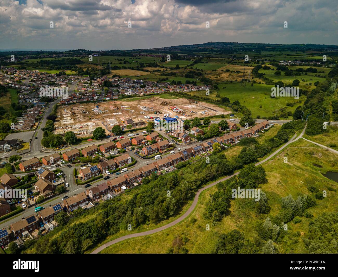 New Housing Development Aerial Drone View Chell Heath Stoke on Trent Staffordshire Stockfotohttps://www.alamy.de/image-license-details/?v=1https://www.alamy.de/new-housing-development-aerial-drone-view-chell-heath-stoke-on-trent-staffordshire-image437445242.html
RF2GBK9TA–New Housing Development Aerial Drone View Chell Heath Stoke on Trent Staffordshire
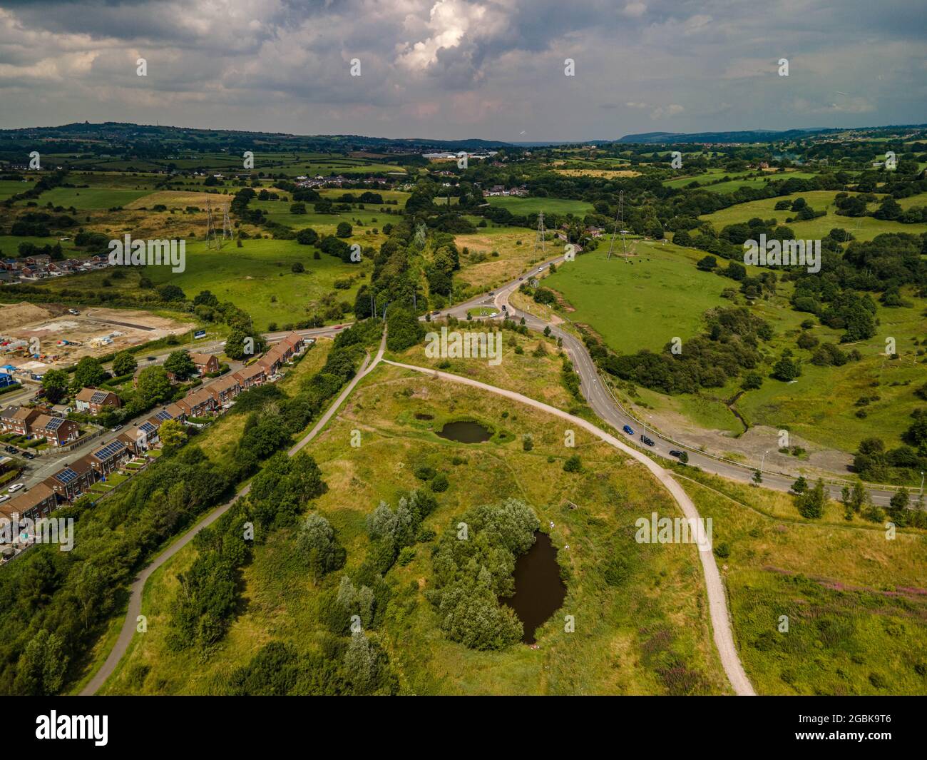 New Housing Development Aerial Drone View Chell Heath Stoke on Trent Staffordshire Stockfotohttps://www.alamy.de/image-license-details/?v=1https://www.alamy.de/new-housing-development-aerial-drone-view-chell-heath-stoke-on-trent-staffordshire-image437445238.html
RF2GBK9T6–New Housing Development Aerial Drone View Chell Heath Stoke on Trent Staffordshire
 New Housing Development Aerial Drone View Chell Heath Stoke on Trent Staffordshire Stockfotohttps://www.alamy.de/image-license-details/?v=1https://www.alamy.de/new-housing-development-aerial-drone-view-chell-heath-stoke-on-trent-staffordshire-image437445314.html
RF2GBK9XX–New Housing Development Aerial Drone View Chell Heath Stoke on Trent Staffordshire
 New Housing Development Aerial Drone View Chell Heath Stoke on Trent Staffordshire Stockfotohttps://www.alamy.de/image-license-details/?v=1https://www.alamy.de/new-housing-development-aerial-drone-view-chell-heath-stoke-on-trent-staffordshire-image437445234.html
RF2GBK9T2–New Housing Development Aerial Drone View Chell Heath Stoke on Trent Staffordshire
 New Housing Development Aerial Drone View Chell Heath Stoke on Trent Staffordshire Stockfotohttps://www.alamy.de/image-license-details/?v=1https://www.alamy.de/new-housing-development-aerial-drone-view-chell-heath-stoke-on-trent-staffordshire-image437445303.html
RF2GBK9XF–New Housing Development Aerial Drone View Chell Heath Stoke on Trent Staffordshire
 Stoke on Trent Aerial Drone Staffordshire News oder Reporting Images Stockfotohttps://www.alamy.de/image-license-details/?v=1https://www.alamy.de/stoke-on-trent-aerial-drone-staffordshire-news-oder-reporting-images-image438092723.html
RM2GCMRMK–Stoke on Trent Aerial Drone Staffordshire News oder Reporting Images
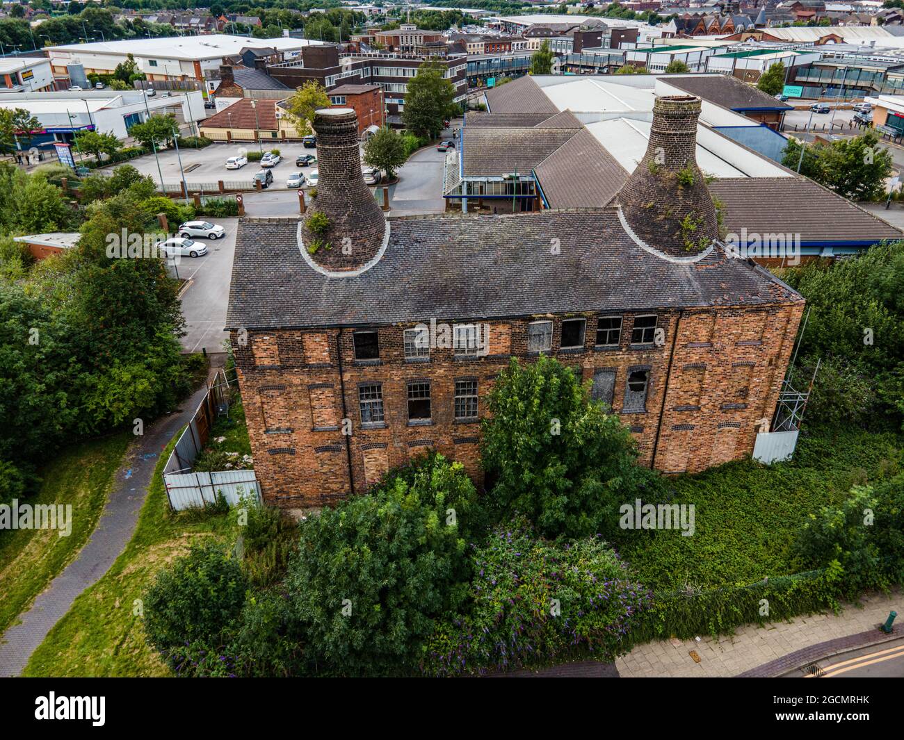 Stoke on Trent Aerial Drone Staffordshire News oder Reporting Images Stockfotohttps://www.alamy.de/image-license-details/?v=1https://www.alamy.de/stoke-on-trent-aerial-drone-staffordshire-news-oder-reporting-images-image438092639.html
RM2GCMRHK–Stoke on Trent Aerial Drone Staffordshire News oder Reporting Images
 Stoke on Trent Aerial Drone Staffordshire News oder Reporting Images Stockfotohttps://www.alamy.de/image-license-details/?v=1https://www.alamy.de/stoke-on-trent-aerial-drone-staffordshire-news-oder-reporting-images-image438092624.html
RM2GCMRH4–Stoke on Trent Aerial Drone Staffordshire News oder Reporting Images
 Stoke on Trent Aerial Drone Staffordshire News oder Reporting Images Stockfotohttps://www.alamy.de/image-license-details/?v=1https://www.alamy.de/stoke-on-trent-aerial-drone-staffordshire-news-oder-reporting-images-image438092621.html
RM2GCMRH1–Stoke on Trent Aerial Drone Staffordshire News oder Reporting Images
 Stoke on Trent Aerial Drone Staffordshire News oder Reporting Images Stockfotohttps://www.alamy.de/image-license-details/?v=1https://www.alamy.de/stoke-on-trent-aerial-drone-staffordshire-news-oder-reporting-images-image438092642.html
RM2GCMRHP–Stoke on Trent Aerial Drone Staffordshire News oder Reporting Images
 Stoke on Trent Aerial Drone Staffordshire News oder Reporting Images Stockfotohttps://www.alamy.de/image-license-details/?v=1https://www.alamy.de/stoke-on-trent-aerial-drone-staffordshire-news-oder-reporting-images-image438092720.html
RM2GCMRMG–Stoke on Trent Aerial Drone Staffordshire News oder Reporting Images
 Stoke on Trent Aerial Drone Staffordshire News oder Reporting Images Stockfotohttps://www.alamy.de/image-license-details/?v=1https://www.alamy.de/stoke-on-trent-aerial-drone-staffordshire-news-oder-reporting-images-image438092629.html
RM2GCMRH9–Stoke on Trent Aerial Drone Staffordshire News oder Reporting Images
 Stoke on Trent Aerial Drone Staffordshire News oder Reporting Images Stockfotohttps://www.alamy.de/image-license-details/?v=1https://www.alamy.de/stoke-on-trent-aerial-drone-staffordshire-news-oder-reporting-images-image438092700.html
RM2GCMRKT–Stoke on Trent Aerial Drone Staffordshire News oder Reporting Images
 Stoke on Trent Aerial Drone Staffordshire News oder Reporting Images Stockfotohttps://www.alamy.de/image-license-details/?v=1https://www.alamy.de/stoke-on-trent-aerial-drone-staffordshire-news-oder-reporting-images-image438092632.html
RM2GCMRHC–Stoke on Trent Aerial Drone Staffordshire News oder Reporting Images
 Etruira Valley Link Road und Wolstanton Retail Park, aus der Luft, Luftdrohne Stockfotohttps://www.alamy.de/image-license-details/?v=1https://www.alamy.de/etruira-valley-link-road-und-wolstanton-retail-park-aus-der-luft-luftdrohne-image478923610.html
RM2JR4RXJ–Etruira Valley Link Road und Wolstanton Retail Park, aus der Luft, Luftdrohne
 Etruira Valley Link Road und Wolstanton Retail Park, aus der Luft, Luftdrohne Stockfotohttps://www.alamy.de/image-license-details/?v=1https://www.alamy.de/etruira-valley-link-road-und-wolstanton-retail-park-aus-der-luft-luftdrohne-image478923633.html
RM2JR4RYD–Etruira Valley Link Road und Wolstanton Retail Park, aus der Luft, Luftdrohne
 Etruira Valley Link Road und Wolstanton Retail Park, aus der Luft, Luftdrohne Stockfotohttps://www.alamy.de/image-license-details/?v=1https://www.alamy.de/etruira-valley-link-road-und-wolstanton-retail-park-aus-der-luft-luftdrohne-image478923619.html
RM2JR4RXY–Etruira Valley Link Road und Wolstanton Retail Park, aus der Luft, Luftdrohne
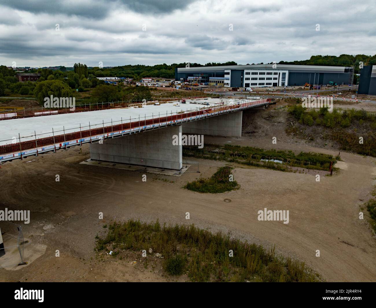 Etruira Valley Link Road und Wolstanton Retail Park, aus der Luft, Luftdrohne Stockfotohttps://www.alamy.de/image-license-details/?v=1https://www.alamy.de/etruira-valley-link-road-und-wolstanton-retail-park-aus-der-luft-luftdrohne-image478923624.html
RM2JR4RY4–Etruira Valley Link Road und Wolstanton Retail Park, aus der Luft, Luftdrohne
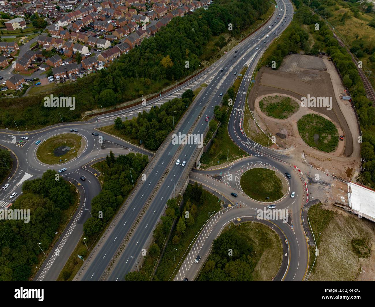 Etruira Valley Link Road und Wolstanton Retail Park, aus der Luft, Luftdrohne Stockfotohttps://www.alamy.de/image-license-details/?v=1https://www.alamy.de/etruira-valley-link-road-und-wolstanton-retail-park-aus-der-luft-luftdrohne-image478923595.html
RM2JR4RX3–Etruira Valley Link Road und Wolstanton Retail Park, aus der Luft, Luftdrohne
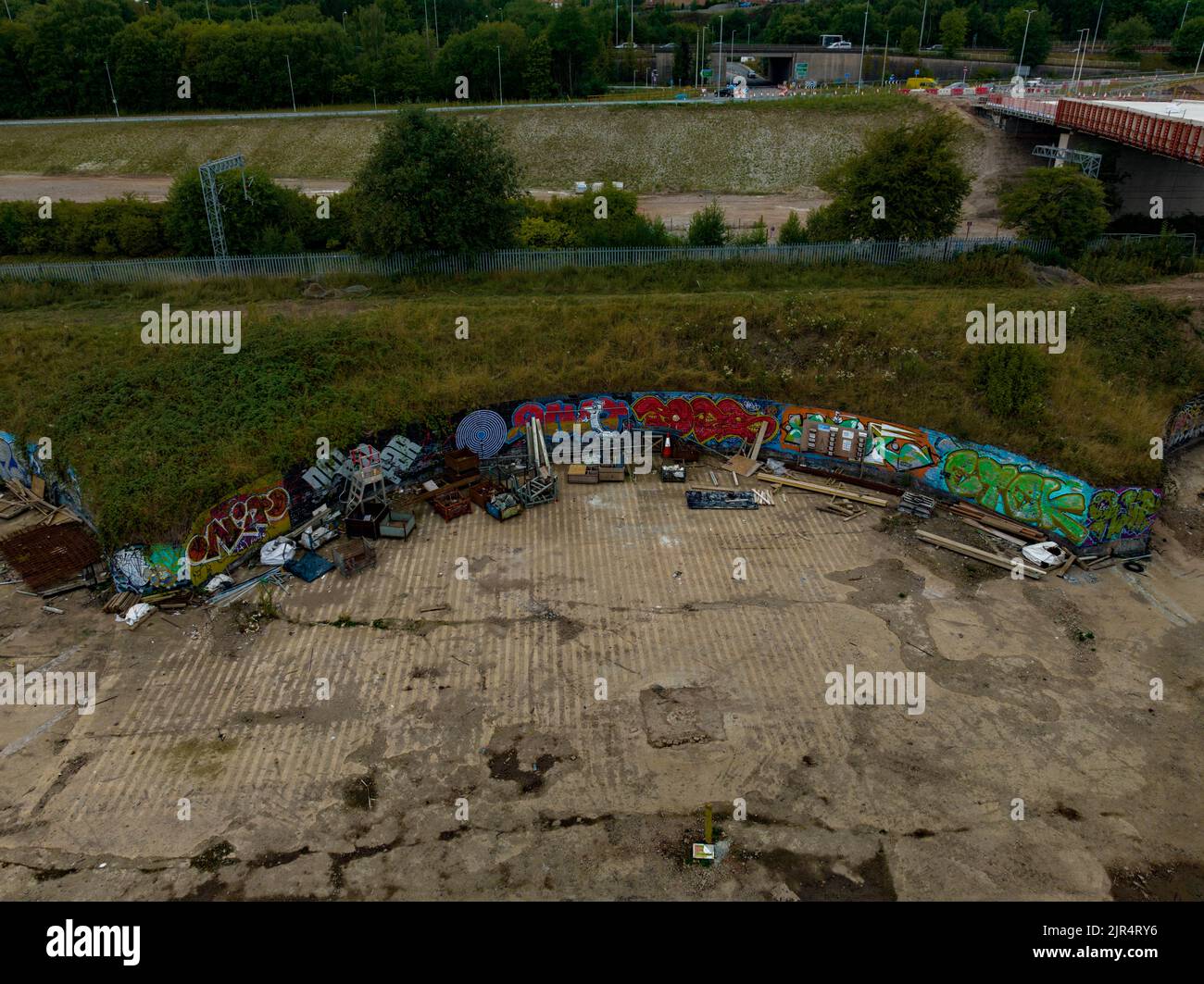 Etruira Valley Link Road und Wolstanton Retail Park, aus der Luft, Luftdrohne Stockfotohttps://www.alamy.de/image-license-details/?v=1https://www.alamy.de/etruira-valley-link-road-und-wolstanton-retail-park-aus-der-luft-luftdrohne-image478923626.html
RM2JR4RY6–Etruira Valley Link Road und Wolstanton Retail Park, aus der Luft, Luftdrohne
 Etruira Valley Link Road und Wolstanton Retail Park, aus der Luft, Luftdrohne Stockfotohttps://www.alamy.de/image-license-details/?v=1https://www.alamy.de/etruira-valley-link-road-und-wolstanton-retail-park-aus-der-luft-luftdrohne-image472718354.html
RM2JD252A–Etruira Valley Link Road und Wolstanton Retail Park, aus der Luft, Luftdrohne
 Etruira Valley Link Road und Wolstanton Retail Park, aus der Luft, Luftdrohne Stockfotohttps://www.alamy.de/image-license-details/?v=1https://www.alamy.de/etruira-valley-link-road-und-wolstanton-retail-park-aus-der-luft-luftdrohne-image472718359.html
RM2JD252F–Etruira Valley Link Road und Wolstanton Retail Park, aus der Luft, Luftdrohne
 Etruira Valley Link Road und Wolstanton Retail Park, aus der Luft, Luftdrohne Stockfotohttps://www.alamy.de/image-license-details/?v=1https://www.alamy.de/etruira-valley-link-road-und-wolstanton-retail-park-aus-der-luft-luftdrohne-image472718357.html
RM2JD252D–Etruira Valley Link Road und Wolstanton Retail Park, aus der Luft, Luftdrohne
 Etruira Valley Link Road und Wolstanton Retail Park, aus der Luft, Luftdrohne Stockfotohttps://www.alamy.de/image-license-details/?v=1https://www.alamy.de/etruira-valley-link-road-und-wolstanton-retail-park-aus-der-luft-luftdrohne-image472718350.html
RM2JD2526–Etruira Valley Link Road und Wolstanton Retail Park, aus der Luft, Luftdrohne
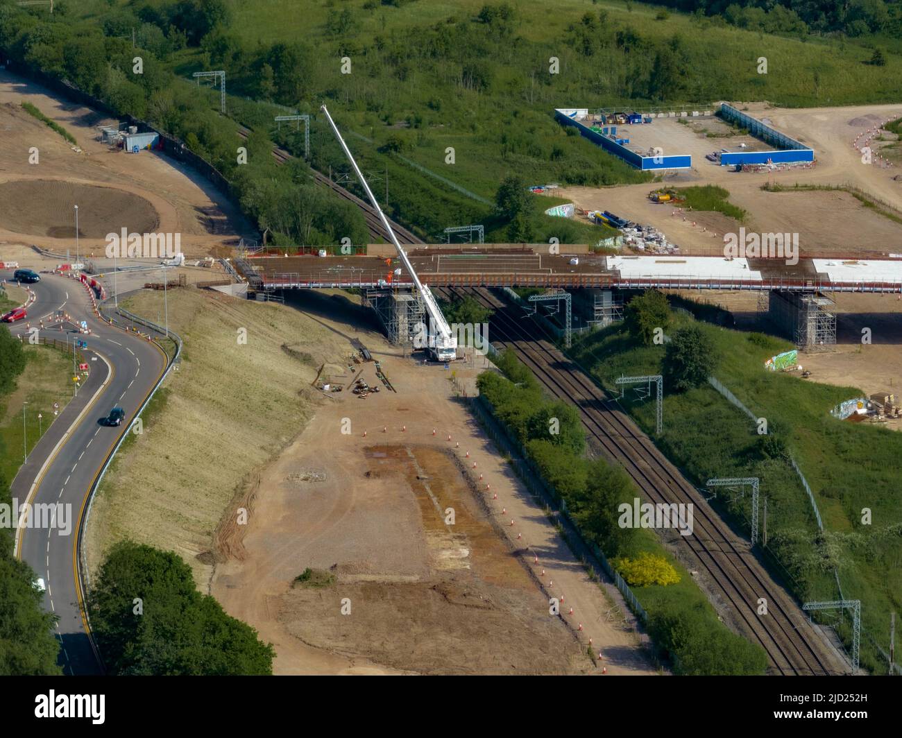 Etruira Valley Link Road und Wolstanton Retail Park, aus der Luft, Luftdrohne Stockfotohttps://www.alamy.de/image-license-details/?v=1https://www.alamy.de/etruira-valley-link-road-und-wolstanton-retail-park-aus-der-luft-luftdrohne-image472718361.html
RM2JD252H–Etruira Valley Link Road und Wolstanton Retail Park, aus der Luft, Luftdrohne
 etruria Valley Link Road Luftdrohnen-Bilder Anfang April 2022 Fortschrittsbericht Stockfotohttps://www.alamy.de/image-license-details/?v=1https://www.alamy.de/etruria-valley-link-road-luftdrohnen-bilder-anfang-april-2022-fortschrittsbericht-image467110633.html
RM2J3XMAH–etruria Valley Link Road Luftdrohnen-Bilder Anfang April 2022 Fortschrittsbericht
 etruria Valley Link Road Luftdrohnen-Bilder Anfang April 2022 Fortschrittsbericht Stockfotohttps://www.alamy.de/image-license-details/?v=1https://www.alamy.de/etruria-valley-link-road-luftdrohnen-bilder-anfang-april-2022-fortschrittsbericht-image467110295.html
RM2J3XKXF–etruria Valley Link Road Luftdrohnen-Bilder Anfang April 2022 Fortschrittsbericht
 etruria Valley Link Road Luftdrohnen-Bilder Anfang April 2022 Fortschrittsbericht Stockfotohttps://www.alamy.de/image-license-details/?v=1https://www.alamy.de/etruria-valley-link-road-luftdrohnen-bilder-anfang-april-2022-fortschrittsbericht-image467110209.html
RM2J3XKRD–etruria Valley Link Road Luftdrohnen-Bilder Anfang April 2022 Fortschrittsbericht
 etruria Valley Link Road Luftdrohnen-Bilder Anfang April 2022 Fortschrittsbericht Stockfotohttps://www.alamy.de/image-license-details/?v=1https://www.alamy.de/etruria-valley-link-road-luftdrohnen-bilder-anfang-april-2022-fortschrittsbericht-image467110646.html
RM2J3XMB2–etruria Valley Link Road Luftdrohnen-Bilder Anfang April 2022 Fortschrittsbericht
 etruria Valley Link Road Luftdrohnen-Bilder Anfang April 2022 Fortschrittsbericht Stockfotohttps://www.alamy.de/image-license-details/?v=1https://www.alamy.de/etruria-valley-link-road-luftdrohnen-bilder-anfang-april-2022-fortschrittsbericht-image467110754.html
RM2J3XMEX–etruria Valley Link Road Luftdrohnen-Bilder Anfang April 2022 Fortschrittsbericht
 etruria Valley Link Road Luftdrohnen-Bilder Anfang April 2022 Fortschrittsbericht Stockfotohttps://www.alamy.de/image-license-details/?v=1https://www.alamy.de/etruria-valley-link-road-luftdrohnen-bilder-anfang-april-2022-fortschrittsbericht-image467110305.html
RM2J3XKXW–etruria Valley Link Road Luftdrohnen-Bilder Anfang April 2022 Fortschrittsbericht
 etruria Valley Link Road Luftdrohnen-Bilder Anfang April 2022 Fortschrittsbericht Stockfotohttps://www.alamy.de/image-license-details/?v=1https://www.alamy.de/etruria-valley-link-road-luftdrohnen-bilder-anfang-april-2022-fortschrittsbericht-image467110445.html
RM2J3XM3W–etruria Valley Link Road Luftdrohnen-Bilder Anfang April 2022 Fortschrittsbericht
 etruria Valley Link Road Luftdrohnen-Bilder Anfang April 2022 Fortschrittsbericht Stockfotohttps://www.alamy.de/image-license-details/?v=1https://www.alamy.de/etruria-valley-link-road-luftdrohnen-bilder-anfang-april-2022-fortschrittsbericht-image467110298.html
RM2J3XKXJ–etruria Valley Link Road Luftdrohnen-Bilder Anfang April 2022 Fortschrittsbericht
 etruria Valley Link Road Luftdrohnen-Bilder Anfang April 2022 Fortschrittsbericht Stockfotohttps://www.alamy.de/image-license-details/?v=1https://www.alamy.de/etruria-valley-link-road-luftdrohnen-bilder-anfang-april-2022-fortschrittsbericht-image467110364.html
RM2J3XM10–etruria Valley Link Road Luftdrohnen-Bilder Anfang April 2022 Fortschrittsbericht