Schnellfilter:
Blick auf neue kreuzer Stockfotos & Bilder
 Die Atlantic Highlands New Jersey Seastreak Fähre an der 91st Street Abteilung für Hygiene Gebäude am East River, Upper East Manhattan, N Stockfotohttps://www.alamy.de/image-license-details/?v=1https://www.alamy.de/stockfoto-die-atlantic-highlands-new-jersey-seastreak-fahre-an-der-91st-street-abteilung-fur-hygiene-gebaude-am-east-river-upper-east-manhattan-n-172497616.html
RMM0HXD4–Die Atlantic Highlands New Jersey Seastreak Fähre an der 91st Street Abteilung für Hygiene Gebäude am East River, Upper East Manhattan, N
 , Chelsea Piers an der Westseite Manhattans im Chelsea District, 12.04.2009, Luftbild, USA, New York City Stockfotohttps://www.alamy.de/image-license-details/?v=1https://www.alamy.de/chelsea-piers-an-der-westseite-manhattans-im-chelsea-district-12042009-luftbild-usa-new-york-city-image349342205.html
RM2B89WF9–, Chelsea Piers an der Westseite Manhattans im Chelsea District, 12.04.2009, Luftbild, USA, New York City
 Viaduct Harbour und Auckland Waterfront, Auckland, Nordinsel, Neuseeland - Antenne Stockfotohttps://www.alamy.de/image-license-details/?v=1https://www.alamy.de/stockfoto-viaduct-harbour-und-auckland-waterfront-auckland-nordinsel-neuseeland-antenne-87003041.html
RMF1F97D–Viaduct Harbour und Auckland Waterfront, Auckland, Nordinsel, Neuseeland - Antenne
 Königin Mary hat Besucher aus dem Osten. Tausende von Osterurlaubern nutzen die Gelegenheit, die der Urlaub bietet, um das neue Linienschiff Queen Mary in Southampton zu inspizieren. Die Lustdampfer bieten ausgezeichnete Grand Stände. Foto zeigt, Vergnügen Dampfer Passagiere bekommen eine Nahaufnahme der Queen Mary in Southampton. 11. April 1936 Stockfotohttps://www.alamy.de/image-license-details/?v=1https://www.alamy.de/konigin-mary-hat-besucher-aus-dem-osten-tausende-von-osterurlaubern-nutzen-die-gelegenheit-die-der-urlaub-bietet-um-das-neue-linienschiff-queen-mary-in-southampton-zu-inspizieren-die-lustdampfer-bieten-ausgezeichnete-grand-stande-foto-zeigt-vergnugen-dampfer-passagiere-bekommen-eine-nahaufnahme-der-queen-mary-in-southampton-11-april-1936-image359652273.html
RM2BW3G41–Königin Mary hat Besucher aus dem Osten. Tausende von Osterurlaubern nutzen die Gelegenheit, die der Urlaub bietet, um das neue Linienschiff Queen Mary in Southampton zu inspizieren. Die Lustdampfer bieten ausgezeichnete Grand Stände. Foto zeigt, Vergnügen Dampfer Passagiere bekommen eine Nahaufnahme der Queen Mary in Southampton. 11. April 1936
 Wynyard Quarter, Viaduct Harbour und Auckland Waterfront, Auckland, Nordinsel, Neuseeland - Antenne Stockfotohttps://www.alamy.de/image-license-details/?v=1https://www.alamy.de/stockfoto-wynyard-quarter-viaduct-harbour-und-auckland-waterfront-auckland-nordinsel-neuseeland-antenne-87004140.html
RMF1FAJM–Wynyard Quarter, Viaduct Harbour und Auckland Waterfront, Auckland, Nordinsel, Neuseeland - Antenne
 Königin Mary hat Besucher aus dem Osten. Tausende von Osterurlaubern nutzen die Gelegenheit, die der Urlaub bietet, um das neue Linienschiff Queen Mary in Southampton zu inspizieren. Die Lustdampfer bieten ausgezeichnete Grand Stände. Foto zeigt, Vergnügen Dampfer Passagiere bekommen eine Nahaufnahme der Queen Mary in Southampton. 11. April 1936 Stockfotohttps://www.alamy.de/image-license-details/?v=1https://www.alamy.de/konigin-mary-hat-besucher-aus-dem-osten-tausende-von-osterurlaubern-nutzen-die-gelegenheit-die-der-urlaub-bietet-um-das-neue-linienschiff-queen-mary-in-southampton-zu-inspizieren-die-lustdampfer-bieten-ausgezeichnete-grand-stande-foto-zeigt-vergnugen-dampfer-passagiere-bekommen-eine-nahaufnahme-der-queen-mary-in-southampton-11-april-1936-image359652317.html
RM2BW3G5H–Königin Mary hat Besucher aus dem Osten. Tausende von Osterurlaubern nutzen die Gelegenheit, die der Urlaub bietet, um das neue Linienschiff Queen Mary in Southampton zu inspizieren. Die Lustdampfer bieten ausgezeichnete Grand Stände. Foto zeigt, Vergnügen Dampfer Passagiere bekommen eine Nahaufnahme der Queen Mary in Southampton. 11. April 1936
 Wo Queen Mary in New York anlegen wird Wenn die Queen Mary nach ihrer Jungfernüberquerung des Atlantiks in wenigen Stunden in New York ankommt - eine Reise, die hoffentlich in Rekordzeit durchgeführt wird -, wird sie am Pier Nr. anlegen. 90 im North River . Der Pier wurde speziell mit zwei anderen aus einem Stipendium von fast £ 300, 000 von der Public Work Administration gebaut. Einer der Liegeplätze wird von dem französischen Riesen Normandie genutzt. Foto zeigt: EINE allgemeine Ansicht der neuen Pfeiler für die Queen Mary und die Normandie im New Yorker North River. Juni 1936 Stockfotohttps://www.alamy.de/image-license-details/?v=1https://www.alamy.de/wo-queen-mary-in-new-york-anlegen-wird-wenn-die-queen-mary-nach-ihrer-jungfernuberquerung-des-atlantiks-in-wenigen-stunden-in-new-york-ankommt-eine-reise-die-hoffentlich-in-rekordzeit-durchgefuhrt-wird-wird-sie-am-pier-nr-anlegen-90-im-north-river-der-pier-wurde-speziell-mit-zwei-anderen-aus-einem-stipendium-von-fast-300-000-von-der-public-work-administration-gebaut-einer-der-liegeplatze-wird-von-dem-franzosischen-riesen-normandie-genutzt-foto-zeigt-eine-allgemeine-ansicht-der-neuen-pfeiler-fur-die-queen-mary-und-die-normandie-im-new-yorker-north-river-juni-1936-image359659268.html
RM2BW3W1T–Wo Queen Mary in New York anlegen wird Wenn die Queen Mary nach ihrer Jungfernüberquerung des Atlantiks in wenigen Stunden in New York ankommt - eine Reise, die hoffentlich in Rekordzeit durchgeführt wird -, wird sie am Pier Nr. anlegen. 90 im North River . Der Pier wurde speziell mit zwei anderen aus einem Stipendium von fast £ 300, 000 von der Public Work Administration gebaut. Einer der Liegeplätze wird von dem französischen Riesen Normandie genutzt. Foto zeigt: EINE allgemeine Ansicht der neuen Pfeiler für die Queen Mary und die Normandie im New Yorker North River. Juni 1936
 Wynyard Quarter, Viaduct Harbour und Auckland Waterfront, Auckland, Nordinsel, Neuseeland - Antenne Stockfotohttps://www.alamy.de/image-license-details/?v=1https://www.alamy.de/stockfoto-wynyard-quarter-viaduct-harbour-und-auckland-waterfront-auckland-nordinsel-neuseeland-antenne-87002143.html
RMF1F83B–Wynyard Quarter, Viaduct Harbour und Auckland Waterfront, Auckland, Nordinsel, Neuseeland - Antenne
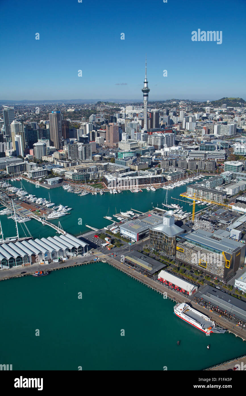 Wynyard Quarter, Viaduct Harbour und Auckland Waterfront, Auckland, Nordinsel, Neuseeland - Antenne Stockfotohttps://www.alamy.de/image-license-details/?v=1https://www.alamy.de/stockfoto-wynyard-quarter-viaduct-harbour-und-auckland-waterfront-auckland-nordinsel-neuseeland-antenne-87003778.html
RMF1FA5P–Wynyard Quarter, Viaduct Harbour und Auckland Waterfront, Auckland, Nordinsel, Neuseeland - Antenne
 Pauatahanui Inlet, Porirua Harbour, Region Wellington, Nordinsel, Neuseeland - Antenne Stockfotohttps://www.alamy.de/image-license-details/?v=1https://www.alamy.de/stockfoto-pauatahanui-inlet-porirua-harbour-region-wellington-nordinsel-neuseeland-antenne-79622460.html
RMEHF378–Pauatahanui Inlet, Porirua Harbour, Region Wellington, Nordinsel, Neuseeland - Antenne
 Mana Marina and Porirua Harbour, Region Wellington, Nordinsel, Neuseeland - Antenne Stockfotohttps://www.alamy.de/image-license-details/?v=1https://www.alamy.de/stockfoto-mana-marina-and-porirua-harbour-region-wellington-nordinsel-neuseeland-antenne-79622469.html
RMEHF37H–Mana Marina and Porirua Harbour, Region Wellington, Nordinsel, Neuseeland - Antenne
 Pauatahanui Inlet und Mana Marina, Porirua Harbour, Region Wellington, Nordinsel, Neuseeland - Antenne Stockfotohttps://www.alamy.de/image-license-details/?v=1https://www.alamy.de/stockfoto-pauatahanui-inlet-und-mana-marina-porirua-harbour-region-wellington-nordinsel-neuseeland-antenne-79622465.html
RMEHF37D–Pauatahanui Inlet und Mana Marina, Porirua Harbour, Region Wellington, Nordinsel, Neuseeland - Antenne
 Pauatahanui Inlet und Mana Marina, Porirua Harbour, Region Wellington, Nordinsel, Neuseeland - Antenne Stockfotohttps://www.alamy.de/image-license-details/?v=1https://www.alamy.de/stockfoto-pauatahanui-inlet-und-mana-marina-porirua-harbour-region-wellington-nordinsel-neuseeland-antenne-79623093.html
RMEHF41W–Pauatahanui Inlet und Mana Marina, Porirua Harbour, Region Wellington, Nordinsel, Neuseeland - Antenne
 Pauatahanui Inlet und Mana Marina, Porirua Harbour, Region Wellington, Nordinsel, Neuseeland - Antenne Stockfotohttps://www.alamy.de/image-license-details/?v=1https://www.alamy.de/stockfoto-pauatahanui-inlet-und-mana-marina-porirua-harbour-region-wellington-nordinsel-neuseeland-antenne-79623087.html
RMEHF41K–Pauatahanui Inlet und Mana Marina, Porirua Harbour, Region Wellington, Nordinsel, Neuseeland - Antenne
 Pauatahanui Inlet und Mana Marina, Porirua Harbour, Region Wellington, Nordinsel, Neuseeland - Antenne Stockfotohttps://www.alamy.de/image-license-details/?v=1https://www.alamy.de/stockfoto-pauatahanui-inlet-und-mana-marina-porirua-harbour-region-wellington-nordinsel-neuseeland-antenne-79623078.html
RMEHF41A–Pauatahanui Inlet und Mana Marina, Porirua Harbour, Region Wellington, Nordinsel, Neuseeland - Antenne
 Chaffers Marina, und Clyde Quay Wharf Luxusappartements, Wellington Harbour, Wellington, Nordinsel, Neuseeland - Antenne Stockfotohttps://www.alamy.de/image-license-details/?v=1https://www.alamy.de/stockfoto-chaffers-marina-und-clyde-quay-wharf-luxusappartements-wellington-harbour-wellington-nordinsel-neuseeland-antenne-79601718.html
RMEHE4PE–Chaffers Marina, und Clyde Quay Wharf Luxusappartements, Wellington Harbour, Wellington, Nordinsel, Neuseeland - Antenne
 Chaffers Marina, und Clyde Quay Wharf Luxusappartements, Wellington Harbour, Wellington, Nordinsel, Neuseeland - Antenne Stockfotohttps://www.alamy.de/image-license-details/?v=1https://www.alamy.de/stockfoto-chaffers-marina-und-clyde-quay-wharf-luxusappartements-wellington-harbour-wellington-nordinsel-neuseeland-antenne-79601719.html
RMEHE4PF–Chaffers Marina, und Clyde Quay Wharf Luxusappartements, Wellington Harbour, Wellington, Nordinsel, Neuseeland - Antenne
 Westhaven Marina Auckland Nordinsel Neuseeland Antenne Stockfotohttps://www.alamy.de/image-license-details/?v=1https://www.alamy.de/stockfoto-westhaven-marina-auckland-nordinsel-neuseeland-antenne-16174908.html
RMAT1X7W–Westhaven Marina Auckland Nordinsel Neuseeland Antenne
 Westhaven Marina Auckland Nordinsel Neuseeland Antenne Stockfotohttps://www.alamy.de/image-license-details/?v=1https://www.alamy.de/stockfoto-westhaven-marina-auckland-nordinsel-neuseeland-antenne-16074468.html
RMARK79W–Westhaven Marina Auckland Nordinsel Neuseeland Antenne
 Autobahn und Westhaven Marina Auckland Nordinsel Neuseeland Antenne Stockfotohttps://www.alamy.de/image-license-details/?v=1https://www.alamy.de/stockfoto-autobahn-und-westhaven-marina-auckland-nordinsel-neuseeland-antenne-15999286.html
RMARB7GR–Autobahn und Westhaven Marina Auckland Nordinsel Neuseeland Antenne
 Westhaven Marina, Auckland, Nordinsel, Neuseeland - Antenne Stockfotohttps://www.alamy.de/image-license-details/?v=1https://www.alamy.de/stockfoto-westhaven-marina-auckland-nordinsel-neuseeland-antenne-86824355.html
RMF1759R–Westhaven Marina, Auckland, Nordinsel, Neuseeland - Antenne
 Lee Mole Boote und Sugar Loaf Inseln Port Taranaki New Plymouth Taranaki Nordinsel Neuseeland Antenne Stockfotohttps://www.alamy.de/image-license-details/?v=1https://www.alamy.de/stockfoto-lee-mole-boote-und-sugar-loaf-inseln-port-taranaki-new-plymouth-taranaki-nordinsel-neuseeland-antenne-19044574.html
RMB2YFFA–Lee Mole Boote und Sugar Loaf Inseln Port Taranaki New Plymouth Taranaki Nordinsel Neuseeland Antenne
 Yachten in Okahu Bay, Auckland, Nordinsel, Neuseeland - Antenne Stockfotohttps://www.alamy.de/image-license-details/?v=1https://www.alamy.de/stockfoto-yachten-in-okahu-bay-auckland-nordinsel-neuseeland-antenne-87137589.html
RMF1NCTN–Yachten in Okahu Bay, Auckland, Nordinsel, Neuseeland - Antenne
 Chaffers Marina, und Clyde Quay Wharf Luxusappartements, Wellington Harbour, Wellington, Nordinsel, Neuseeland - Antenne Stockfotohttps://www.alamy.de/image-license-details/?v=1https://www.alamy.de/stockfoto-chaffers-marina-und-clyde-quay-wharf-luxusappartements-wellington-harbour-wellington-nordinsel-neuseeland-antenne-79601709.html
RMEHE4P5–Chaffers Marina, und Clyde Quay Wharf Luxusappartements, Wellington Harbour, Wellington, Nordinsel, Neuseeland - Antenne
 Westhaven Marina and CBD, Auckland, Nordinsel, Neuseeland - Antenne Stockfotohttps://www.alamy.de/image-license-details/?v=1https://www.alamy.de/stockfoto-westhaven-marina-and-cbd-auckland-nordinsel-neuseeland-antenne-86824279.html
RMF17573–Westhaven Marina and CBD, Auckland, Nordinsel, Neuseeland - Antenne
 Westhaven Marina and CBD, Auckland, Nordinsel, Neuseeland - Antenne Stockfotohttps://www.alamy.de/image-license-details/?v=1https://www.alamy.de/stockfoto-westhaven-marina-and-cbd-auckland-nordinsel-neuseeland-antenne-86824329.html
RMF1758W–Westhaven Marina and CBD, Auckland, Nordinsel, Neuseeland - Antenne
 Westhaven Marina and CBD, Auckland, Nordinsel, Neuseeland - Antenne Stockfotohttps://www.alamy.de/image-license-details/?v=1https://www.alamy.de/stockfoto-westhaven-marina-and-cbd-auckland-nordinsel-neuseeland-antenne-86824337.html
RMF17595–Westhaven Marina and CBD, Auckland, Nordinsel, Neuseeland - Antenne
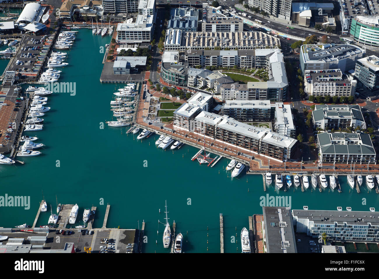 Viaduct Harbour, Auckland Waterfront, Auckland, Nordinsel, Neuseeland - Antenne Stockfotohttps://www.alamy.de/image-license-details/?v=1https://www.alamy.de/stockfoto-viaduct-harbour-auckland-waterfront-auckland-nordinsel-neuseeland-antenne-87005378.html
RMF1FC6X–Viaduct Harbour, Auckland Waterfront, Auckland, Nordinsel, Neuseeland - Antenne
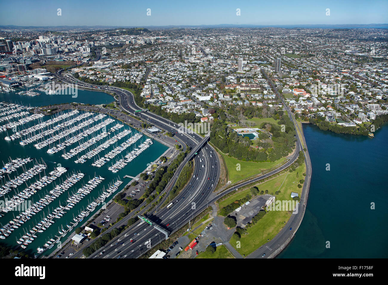 Westhaven Marina, und Punkt Erin, Auckland, Nordinsel, Neuseeland - Antenne Stockfotohttps://www.alamy.de/image-license-details/?v=1https://www.alamy.de/stockfoto-westhaven-marina-und-punkt-erin-auckland-nordinsel-neuseeland-antenne-86824319.html
RMF1758F–Westhaven Marina, und Punkt Erin, Auckland, Nordinsel, Neuseeland - Antenne
 Auckland Harbour Bridge and Westhaven Marina, Auckland, Nordinsel, Neuseeland - Antenne Stockfotohttps://www.alamy.de/image-license-details/?v=1https://www.alamy.de/stockfoto-auckland-harbour-bridge-and-westhaven-marina-auckland-nordinsel-neuseeland-antenne-86823763.html
RMF174GK–Auckland Harbour Bridge and Westhaven Marina, Auckland, Nordinsel, Neuseeland - Antenne
 Auckland Harbour Bridge, Waitemata Harbour und CBD, Auckland, Nordinsel, Neuseeland - Antenne Stockfotohttps://www.alamy.de/image-license-details/?v=1https://www.alamy.de/stockfoto-auckland-harbour-bridge-waitemata-harbour-und-cbd-auckland-nordinsel-neuseeland-antenne-86824268.html
RMF1756M–Auckland Harbour Bridge, Waitemata Harbour und CBD, Auckland, Nordinsel, Neuseeland - Antenne
 Westhaven Marina, Str. Marys Bay und CBD, Auckland, Nordinsel, Neuseeland - Antenne Stockfotohttps://www.alamy.de/image-license-details/?v=1https://www.alamy.de/stockfoto-westhaven-marina-str-marys-bay-und-cbd-auckland-nordinsel-neuseeland-antenne-86824340.html
RMF17598–Westhaven Marina, Str. Marys Bay und CBD, Auckland, Nordinsel, Neuseeland - Antenne
 Northcote Punkt, Auckland Harbour Bridge und Westhaven Marina, Waitemata Harbour, Auckland, Nordinsel, Neuseeland - Antenne Stockfotohttps://www.alamy.de/image-license-details/?v=1https://www.alamy.de/stockfoto-northcote-punkt-auckland-harbour-bridge-und-westhaven-marina-waitemata-harbour-auckland-nordinsel-neuseeland-antenne-86823742.html
RMF174FX–Northcote Punkt, Auckland Harbour Bridge und Westhaven Marina, Waitemata Harbour, Auckland, Nordinsel, Neuseeland - Antenne
 Auckland Harbour Bridge und Waitemata Harbour Auckland Nordinsel Neuseeland Antenne Stockfotohttps://www.alamy.de/image-license-details/?v=1https://www.alamy.de/stockfoto-auckland-harbour-bridge-und-waitemata-harbour-auckland-nordinsel-neuseeland-antenne-15999492.html
RMARB85W–Auckland Harbour Bridge und Waitemata Harbour Auckland Nordinsel Neuseeland Antenne
 Auckland Harbour Bridge und Waitemata Harbour Auckland Nordinsel Neuseeland Antenne Stockfotohttps://www.alamy.de/image-license-details/?v=1https://www.alamy.de/stockfoto-auckland-harbour-bridge-und-waitemata-harbour-auckland-nordinsel-neuseeland-antenne-15997311.html
RMARB1MG–Auckland Harbour Bridge und Waitemata Harbour Auckland Nordinsel Neuseeland Antenne
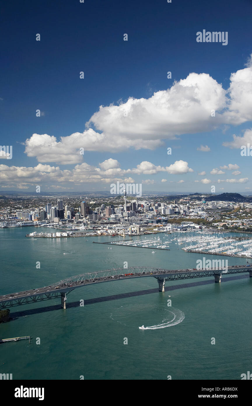 Auckland Harbour Bridge und Waitemata Harbour Auckland Nordinsel Neuseeland Antenne Stockfotohttps://www.alamy.de/image-license-details/?v=1https://www.alamy.de/stockfoto-auckland-harbour-bridge-und-waitemata-harbour-auckland-nordinsel-neuseeland-antenne-15998917.html
RMARB6DX–Auckland Harbour Bridge und Waitemata Harbour Auckland Nordinsel Neuseeland Antenne
 Auckland Harbour Bridge und Waitemata Harbour Auckland Nordinsel Neuseeland Antenne Stockfotohttps://www.alamy.de/image-license-details/?v=1https://www.alamy.de/stockfoto-auckland-harbour-bridge-und-waitemata-harbour-auckland-nordinsel-neuseeland-antenne-15999419.html
RMARB7YT–Auckland Harbour Bridge und Waitemata Harbour Auckland Nordinsel Neuseeland Antenne
 Auckland Harbour Bridge und Waitemata Harbour Auckland Nordinsel Neuseeland Antenne Stockfotohttps://www.alamy.de/image-license-details/?v=1https://www.alamy.de/stockfoto-auckland-harbour-bridge-und-waitemata-harbour-auckland-nordinsel-neuseeland-antenne-15999013.html
RMARB6NX–Auckland Harbour Bridge und Waitemata Harbour Auckland Nordinsel Neuseeland Antenne
 Auckland Harbour Bridge und Waitemata Harbour Auckland Nordinsel Neuseeland Antenne Stockfotohttps://www.alamy.de/image-license-details/?v=1https://www.alamy.de/stockfoto-auckland-harbour-bridge-und-waitemata-harbour-auckland-nordinsel-neuseeland-antenne-15998883.html
RMARB6BG–Auckland Harbour Bridge und Waitemata Harbour Auckland Nordinsel Neuseeland Antenne
 Mana Marina and Porirua Harbour, Region Wellington, Nordinsel, Neuseeland - Antenne Stockfotohttps://www.alamy.de/image-license-details/?v=1https://www.alamy.de/stockfoto-mana-marina-and-porirua-harbour-region-wellington-nordinsel-neuseeland-antenne-79623103.html
RMEHF427–Mana Marina and Porirua Harbour, Region Wellington, Nordinsel, Neuseeland - Antenne
 Autobahn und Westhaven Marina Auckland Nordinsel Neuseeland Antenne Stockfotohttps://www.alamy.de/image-license-details/?v=1https://www.alamy.de/stockfoto-autobahn-und-westhaven-marina-auckland-nordinsel-neuseeland-antenne-16069968.html
RMARJNXW–Autobahn und Westhaven Marina Auckland Nordinsel Neuseeland Antenne
 Autobahn und Westhaven Marina Auckland Nordinsel Neuseeland Antenne Stockfotohttps://www.alamy.de/image-license-details/?v=1https://www.alamy.de/stockfoto-autobahn-und-westhaven-marina-auckland-nordinsel-neuseeland-antenne-16009118.html
RMARC8RY–Autobahn und Westhaven Marina Auckland Nordinsel Neuseeland Antenne
 Chaffers Marina, Wellington, Nordinsel, Neuseeland - Antenne Stockfotohttps://www.alamy.de/image-license-details/?v=1https://www.alamy.de/stockfoto-chaffers-marina-wellington-nordinsel-neuseeland-antenne-79601715.html
RMEHE4PB–Chaffers Marina, Wellington, Nordinsel, Neuseeland - Antenne
 Chaffers Marina, und Clyde Quay Wharf Luxusappartements, Wellington Harbour, Wellington, Nordinsel, Neuseeland - Antenne Stockfotohttps://www.alamy.de/image-license-details/?v=1https://www.alamy.de/stockfoto-chaffers-marina-und-clyde-quay-wharf-luxusappartements-wellington-harbour-wellington-nordinsel-neuseeland-antenne-79601717.html
RMEHE4PD–Chaffers Marina, und Clyde Quay Wharf Luxusappartements, Wellington Harbour, Wellington, Nordinsel, Neuseeland - Antenne
 Mana-Marina, Porirua Harbour, Region Wellington, Nordinsel, Neuseeland - Antenne Stockfotohttps://www.alamy.de/image-license-details/?v=1https://www.alamy.de/stockfoto-mana-marina-porirua-harbour-region-wellington-nordinsel-neuseeland-antenne-79623096.html
RMEHF420–Mana-Marina, Porirua Harbour, Region Wellington, Nordinsel, Neuseeland - Antenne
 Mana Marina and Porirua Harbour, Region Wellington, Nordinsel, Neuseeland - Antenne Stockfotohttps://www.alamy.de/image-license-details/?v=1https://www.alamy.de/stockfoto-mana-marina-and-porirua-harbour-region-wellington-nordinsel-neuseeland-antenne-79624448.html
RMEHF5P8–Mana Marina and Porirua Harbour, Region Wellington, Nordinsel, Neuseeland - Antenne
 Auckland Harbour Bridge, Westhaven Marina, Waitemata Harbour und CBD, Auckland, Nordinsel, Neuseeland - Antenne Stockfotohttps://www.alamy.de/image-license-details/?v=1https://www.alamy.de/stockfoto-auckland-harbour-bridge-westhaven-marina-waitemata-harbour-und-cbd-auckland-nordinsel-neuseeland-antenne-86823737.html
RMF174FN–Auckland Harbour Bridge, Westhaven Marina, Waitemata Harbour und CBD, Auckland, Nordinsel, Neuseeland - Antenne
 Ngatitoa Domain, Mana Marina und Porirua Harbour, Region Wellington, Nordinsel, Neuseeland - Antenne Stockfotohttps://www.alamy.de/image-license-details/?v=1https://www.alamy.de/stockfoto-ngatitoa-domain-mana-marina-und-porirua-harbour-region-wellington-nordinsel-neuseeland-antenne-79624435.html
RMEHF5NR–Ngatitoa Domain, Mana Marina und Porirua Harbour, Region Wellington, Nordinsel, Neuseeland - Antenne
 Mana Marina and Porirua Harbour, Region Wellington, Nordinsel, Neuseeland - Antenne Stockfotohttps://www.alamy.de/image-license-details/?v=1https://www.alamy.de/stockfoto-mana-marina-and-porirua-harbour-region-wellington-nordinsel-neuseeland-antenne-79623107.html
RMEHF42B–Mana Marina and Porirua Harbour, Region Wellington, Nordinsel, Neuseeland - Antenne
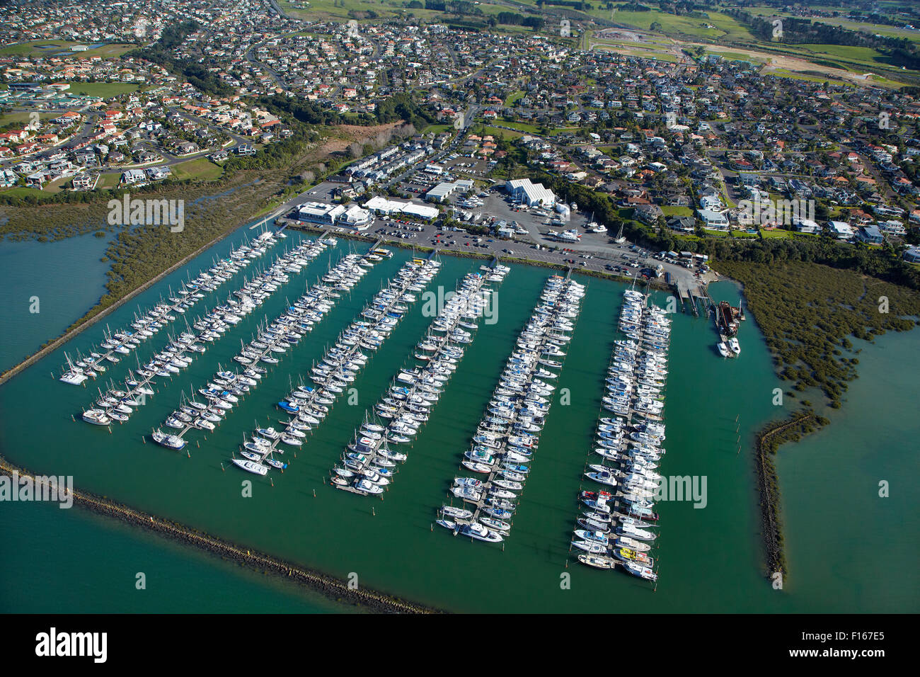 Hobsonville Marina, Waitemata Harbour, Auckland, Nordinsel, Neuseeland - Antenne Stockfotohttps://www.alamy.de/image-license-details/?v=1https://www.alamy.de/stockfoto-hobsonville-marina-waitemata-harbour-auckland-nordinsel-neuseeland-antenne-86804093.html
RMF167E5–Hobsonville Marina, Waitemata Harbour, Auckland, Nordinsel, Neuseeland - Antenne
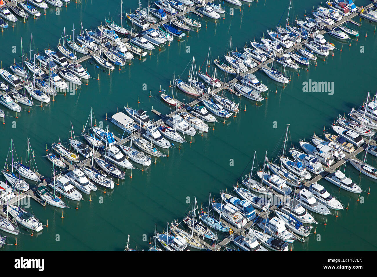 Hobsonville Marina, Waitemata Harbour, Auckland, Nordinsel, Neuseeland - Antenne Stockfotohttps://www.alamy.de/image-license-details/?v=1https://www.alamy.de/stockfoto-hobsonville-marina-waitemata-harbour-auckland-nordinsel-neuseeland-antenne-86804109.html
RMF167EN–Hobsonville Marina, Waitemata Harbour, Auckland, Nordinsel, Neuseeland - Antenne
 Hobsonville Marina, Waitemata Harbour, Auckland, Nordinsel, Neuseeland - Antenne Stockfotohttps://www.alamy.de/image-license-details/?v=1https://www.alamy.de/stockfoto-hobsonville-marina-waitemata-harbour-auckland-nordinsel-neuseeland-antenne-86802662.html
RMF165K2–Hobsonville Marina, Waitemata Harbour, Auckland, Nordinsel, Neuseeland - Antenne
 Hobsonville Marina, Waitemata Harbour, Auckland, Nordinsel, Neuseeland - Antenne Stockfotohttps://www.alamy.de/image-license-details/?v=1https://www.alamy.de/stockfoto-hobsonville-marina-waitemata-harbour-auckland-nordinsel-neuseeland-antenne-86804082.html
RMF167DP–Hobsonville Marina, Waitemata Harbour, Auckland, Nordinsel, Neuseeland - Antenne
 Mana Marina and Porirua Harbour, Region Wellington, Nordinsel, Neuseeland - Antenne Stockfotohttps://www.alamy.de/image-license-details/?v=1https://www.alamy.de/stockfoto-mana-marina-and-porirua-harbour-region-wellington-nordinsel-neuseeland-antenne-79623111.html
RMEHF42F–Mana Marina and Porirua Harbour, Region Wellington, Nordinsel, Neuseeland - Antenne
 Mana Marina and Porirua Harbour, Region Wellington, Nordinsel, Neuseeland - Antenne Stockfotohttps://www.alamy.de/image-license-details/?v=1https://www.alamy.de/stockfoto-mana-marina-and-porirua-harbour-region-wellington-nordinsel-neuseeland-antenne-79623122.html
RMEHF42X–Mana Marina and Porirua Harbour, Region Wellington, Nordinsel, Neuseeland - Antenne
 Mana Marina and Porirua Harbour, Region Wellington, Nordinsel, Neuseeland - Antenne Stockfotohttps://www.alamy.de/image-license-details/?v=1https://www.alamy.de/stockfoto-mana-marina-and-porirua-harbour-region-wellington-nordinsel-neuseeland-antenne-79624425.html
RMEHF5ND–Mana Marina and Porirua Harbour, Region Wellington, Nordinsel, Neuseeland - Antenne
 Mana Marina and Porirua Harbour, Region Wellington, Nordinsel, Neuseeland - Antenne Stockfotohttps://www.alamy.de/image-license-details/?v=1https://www.alamy.de/stockfoto-mana-marina-and-porirua-harbour-region-wellington-nordinsel-neuseeland-antenne-79624431.html
RMEHF5NK–Mana Marina and Porirua Harbour, Region Wellington, Nordinsel, Neuseeland - Antenne
 Mana Marina and Porirua Harbour, Region Wellington, Nordinsel, Neuseeland - Antenne Stockfotohttps://www.alamy.de/image-license-details/?v=1https://www.alamy.de/stockfoto-mana-marina-and-porirua-harbour-region-wellington-nordinsel-neuseeland-antenne-79624420.html
RMEHF5N8–Mana Marina and Porirua Harbour, Region Wellington, Nordinsel, Neuseeland - Antenne
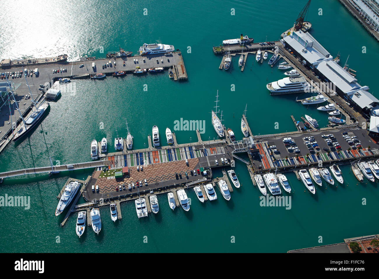 Boote, Viaduct Harbour, Auckland Waterfront, Auckland, Nordinsel, Neuseeland - Antenne Stockfotohttps://www.alamy.de/image-license-details/?v=1https://www.alamy.de/stockfoto-boote-viaduct-harbour-auckland-waterfront-auckland-nordinsel-neuseeland-antenne-87005386.html
RMF1FC76–Boote, Viaduct Harbour, Auckland Waterfront, Auckland, Nordinsel, Neuseeland - Antenne
 Boote, Viaduct Harbour, Auckland Waterfront, Auckland, Nordinsel, Neuseeland - Antenne Stockfotohttps://www.alamy.de/image-license-details/?v=1https://www.alamy.de/stockfoto-boote-viaduct-harbour-auckland-waterfront-auckland-nordinsel-neuseeland-antenne-87005382.html
RMF1FC72–Boote, Viaduct Harbour, Auckland Waterfront, Auckland, Nordinsel, Neuseeland - Antenne
 Boote, Viaduct Harbour, Auckland Waterfront, Auckland, Nordinsel, Neuseeland - Antenne Stockfotohttps://www.alamy.de/image-license-details/?v=1https://www.alamy.de/stockfoto-boote-viaduct-harbour-auckland-waterfront-auckland-nordinsel-neuseeland-antenne-87005391.html
RMF1FC7B–Boote, Viaduct Harbour, Auckland Waterfront, Auckland, Nordinsel, Neuseeland - Antenne
 Auckland Harbour Bridge, Waitemata Harbour und CBD, Auckland, Nordinsel, Neuseeland - Antenne Stockfotohttps://www.alamy.de/image-license-details/?v=1https://www.alamy.de/stockfoto-auckland-harbour-bridge-waitemata-harbour-und-cbd-auckland-nordinsel-neuseeland-antenne-86823733.html
RMF174FH–Auckland Harbour Bridge, Waitemata Harbour und CBD, Auckland, Nordinsel, Neuseeland - Antenne
 Auckland Harbour Bridge, Westhaven Marina, Waitemata Harbour und CBD, Auckland, Nordinsel, Neuseeland - Antenne Stockfotohttps://www.alamy.de/image-license-details/?v=1https://www.alamy.de/stockfoto-auckland-harbour-bridge-westhaven-marina-waitemata-harbour-und-cbd-auckland-nordinsel-neuseeland-antenne-86823734.html
RMF174FJ–Auckland Harbour Bridge, Westhaven Marina, Waitemata Harbour und CBD, Auckland, Nordinsel, Neuseeland - Antenne
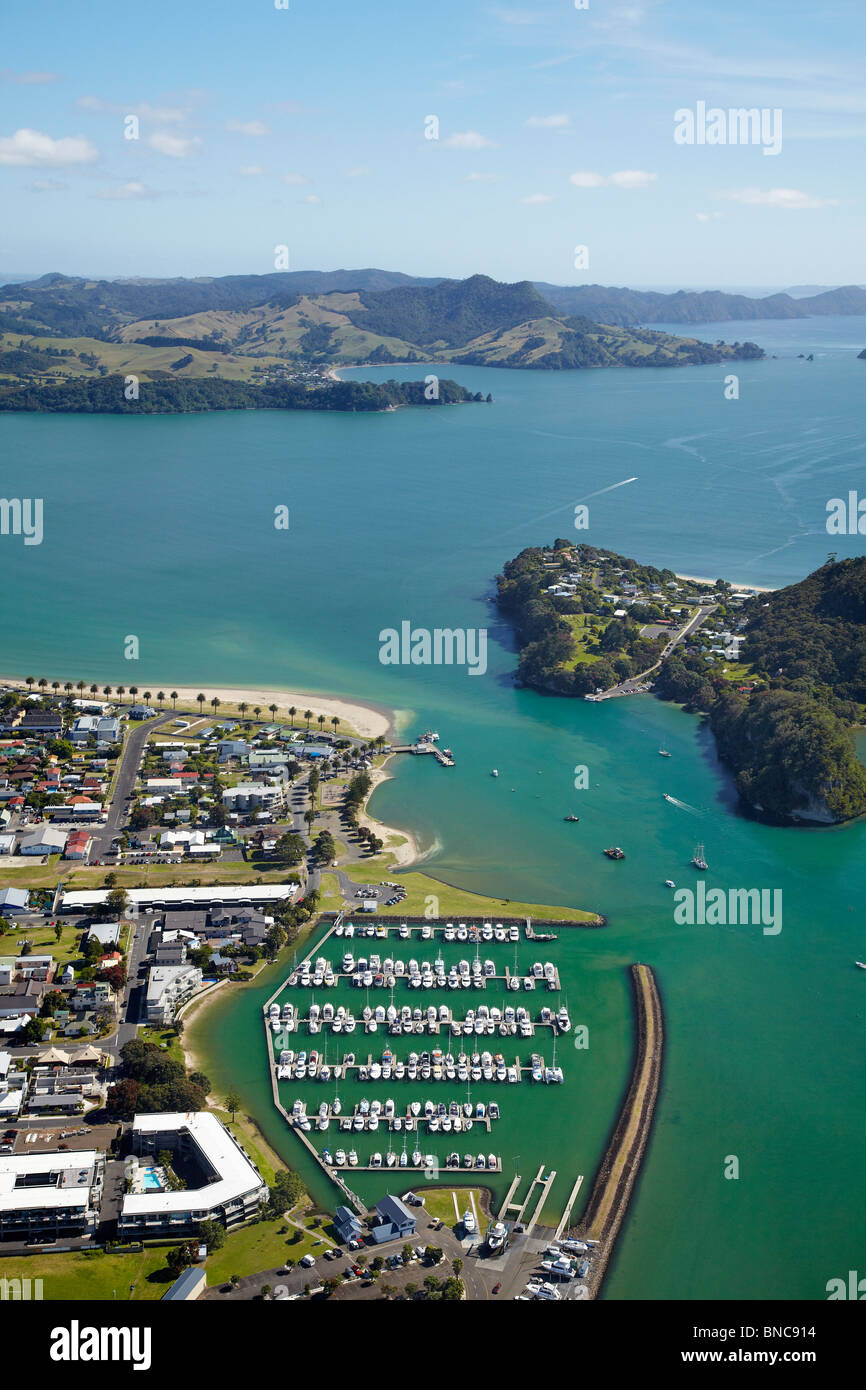 Marina, Whitianga Harbour Whitianga, Coromandel Peninsula, North Island, Neuseeland - Antenne Stockfotohttps://www.alamy.de/image-license-details/?v=1https://www.alamy.de/stockfoto-marina-whitianga-harbour-whitianga-coromandel-peninsula-north-island-neuseeland-antenne-30388656.html
RMBNC914–Marina, Whitianga Harbour Whitianga, Coromandel Peninsula, North Island, Neuseeland - Antenne
 Marina, Whitianga Harbour Whitianga, Coromandel Peninsula, North Island, Neuseeland - Antenne Stockfotohttps://www.alamy.de/image-license-details/?v=1https://www.alamy.de/stockfoto-marina-whitianga-harbour-whitianga-coromandel-peninsula-north-island-neuseeland-antenne-30388594.html
RMBNC8XX–Marina, Whitianga Harbour Whitianga, Coromandel Peninsula, North Island, Neuseeland - Antenne
 Marina, Whitianga Harbour Whitianga, Coromandel Peninsula, North Island, Neuseeland - Antenne Stockfotohttps://www.alamy.de/image-license-details/?v=1https://www.alamy.de/stockfoto-marina-whitianga-harbour-whitianga-coromandel-peninsula-north-island-neuseeland-antenne-30388682.html
RMBNC922–Marina, Whitianga Harbour Whitianga, Coromandel Peninsula, North Island, Neuseeland - Antenne
 Whitianga Harbour, Whitianga, Coromandel Peninsula, North Island, Neuseeland - Antenne Stockfotohttps://www.alamy.de/image-license-details/?v=1https://www.alamy.de/stockfoto-whitianga-harbour-whitianga-coromandel-peninsula-north-island-neuseeland-antenne-30388714.html
RMBNC936–Whitianga Harbour, Whitianga, Coromandel Peninsula, North Island, Neuseeland - Antenne
 Okahu Bay Auckland Nordinsel Neuseeland Antenne Stockfotohttps://www.alamy.de/image-license-details/?v=1https://www.alamy.de/stockfoto-okahu-bay-auckland-nordinsel-neuseeland-antenne-15998242.html
RMARB4DR–Okahu Bay Auckland Nordinsel Neuseeland Antenne
 Marina Lake Te Anau Fjordland Südinsel Neuseeland Antenne Stockfotohttps://www.alamy.de/image-license-details/?v=1https://www.alamy.de/marina-lake-te-anau-fjordland-sudinsel-neuseeland-antenne-image7748584.html
RMAE3YX9–Marina Lake Te Anau Fjordland Südinsel Neuseeland Antenne
 Marina Lake Te Anau Fjordland Südinsel Neuseeland Antenne Stockfotohttps://www.alamy.de/image-license-details/?v=1https://www.alamy.de/marina-lake-te-anau-fjordland-sudinsel-neuseeland-antenne-image7748587.html
RMAE3YXC–Marina Lake Te Anau Fjordland Südinsel Neuseeland Antenne
 Marina Lake Te Anau Fjordland Südinsel Neuseeland Antenne Stockfotohttps://www.alamy.de/image-license-details/?v=1https://www.alamy.de/marina-lake-te-anau-fjordland-sudinsel-neuseeland-antenne-image7748581.html
RMAE3YX6–Marina Lake Te Anau Fjordland Südinsel Neuseeland Antenne
 Okahu Bay links und Hobson Bay rechts Auckland North Island Neuseeland Antenne Stockfotohttps://www.alamy.de/image-license-details/?v=1https://www.alamy.de/stockfoto-okahu-bay-links-und-hobson-bay-rechts-auckland-north-island-neuseeland-antenne-16069865.html
RMARJNJJ–Okahu Bay links und Hobson Bay rechts Auckland North Island Neuseeland Antenne
 Te Anau und Lake Te Anau Fjordland Südinsel Neuseeland Antenne Stockfotohttps://www.alamy.de/image-license-details/?v=1https://www.alamy.de/te-anau-und-lake-te-anau-fjordland-sudinsel-neuseeland-antenne-image7748560.html
RMAE3YW1–Te Anau und Lake Te Anau Fjordland Südinsel Neuseeland Antenne
 Westhaven Marina Auckland Nordinsel Neuseeland Antenne Stockfotohttps://www.alamy.de/image-license-details/?v=1https://www.alamy.de/stockfoto-westhaven-marina-auckland-nordinsel-neuseeland-antenne-16126338.html
RMARTNMK–Westhaven Marina Auckland Nordinsel Neuseeland Antenne
 Marina Nelson Bay Port Stephens New South Wales Australien Antenne Stockfotohttps://www.alamy.de/image-license-details/?v=1https://www.alamy.de/stockfoto-marina-nelson-bay-port-stephens-new-south-wales-australien-antenne-21028888.html
RMB65XFM–Marina Nelson Bay Port Stephens New South Wales Australien Antenne
 Marina Nelson Bay Port Stephens New South Wales Australien Antenne Stockfotohttps://www.alamy.de/image-license-details/?v=1https://www.alamy.de/stockfoto-marina-nelson-bay-port-stephens-new-south-wales-australien-antenne-21031055.html
RMB66193–Marina Nelson Bay Port Stephens New South Wales Australien Antenne
 Marina Nelson Bay Port Stephens New South Wales Australien Antenne Stockfotohttps://www.alamy.de/image-license-details/?v=1https://www.alamy.de/stockfoto-marina-nelson-bay-port-stephens-new-south-wales-australien-antenne-21028897.html
RMB65XG1–Marina Nelson Bay Port Stephens New South Wales Australien Antenne
 Careys Bay Otago Harbour Dunedin Neuseeland Südinsel Antenne Stockfotohttps://www.alamy.de/image-license-details/?v=1https://www.alamy.de/stockfoto-careys-bay-otago-harbour-dunedin-neuseeland-sudinsel-antenne-16655520.html
RMAWW0JW–Careys Bay Otago Harbour Dunedin Neuseeland Südinsel Antenne
 Gladesville Bridge Marina und fünf Dock Bay Parramatta River Sydney New South Wales Australien Antenne Stockfotohttps://www.alamy.de/image-license-details/?v=1https://www.alamy.de/stockfoto-gladesville-bridge-marina-und-funf-dock-bay-parramatta-river-sydney-new-south-wales-australien-antenne-24376931.html
RMBBJD0K–Gladesville Bridge Marina und fünf Dock Bay Parramatta River Sydney New South Wales Australien Antenne
 Okahu Bay Auckland Nordinsel Neuseeland Antenne Stockfotohttps://www.alamy.de/image-license-details/?v=1https://www.alamy.de/stockfoto-okahu-bay-auckland-nordinsel-neuseeland-antenne-15998216.html
RMARB4BN–Okahu Bay Auckland Nordinsel Neuseeland Antenne
 Marina am Quelle des Waikato River von Lake Taupo Taupo Nordinsel Neuseeland Antenne Stockfotohttps://www.alamy.de/image-license-details/?v=1https://www.alamy.de/marina-am-quelle-des-waikato-river-von-lake-taupo-taupo-nordinsel-neuseeland-antenne-image8944949.html
RMAP2EY6–Marina am Quelle des Waikato River von Lake Taupo Taupo Nordinsel Neuseeland Antenne
 Marina am Quelle des Waikato River von Lake Taupo Taupo Nordinsel Neuseeland Antenne Stockfotohttps://www.alamy.de/image-license-details/?v=1https://www.alamy.de/marina-am-quelle-des-waikato-river-von-lake-taupo-taupo-nordinsel-neuseeland-antenne-image8944861.html
RMAP2ENE–Marina am Quelle des Waikato River von Lake Taupo Taupo Nordinsel Neuseeland Antenne
 Marina am Quelle des Waikato River von Lake Taupo Taupo Nordinsel Neuseeland Antenne Stockfotohttps://www.alamy.de/image-license-details/?v=1https://www.alamy.de/stockfoto-marina-am-quelle-des-waikato-river-von-lake-taupo-taupo-nordinsel-neuseeland-antenne-12997195.html
RMAC04PM–Marina am Quelle des Waikato River von Lake Taupo Taupo Nordinsel Neuseeland Antenne
 Marina am Quelle des Waikato River von Lake Taupo Taupo Nordinsel Neuseeland Antenne Stockfotohttps://www.alamy.de/image-license-details/?v=1https://www.alamy.de/marina-am-quelle-des-waikato-river-von-lake-taupo-taupo-nordinsel-neuseeland-antenne-image8944944.html
RMAP2EY1–Marina am Quelle des Waikato River von Lake Taupo Taupo Nordinsel Neuseeland Antenne
 Careys Bay Otago Harbour Dunedin Neuseeland Südinsel Antenne Stockfotohttps://www.alamy.de/image-license-details/?v=1https://www.alamy.de/stockfoto-careys-bay-otago-harbour-dunedin-neuseeland-sudinsel-antenne-16666058.html
RMAWX40Y–Careys Bay Otago Harbour Dunedin Neuseeland Südinsel Antenne
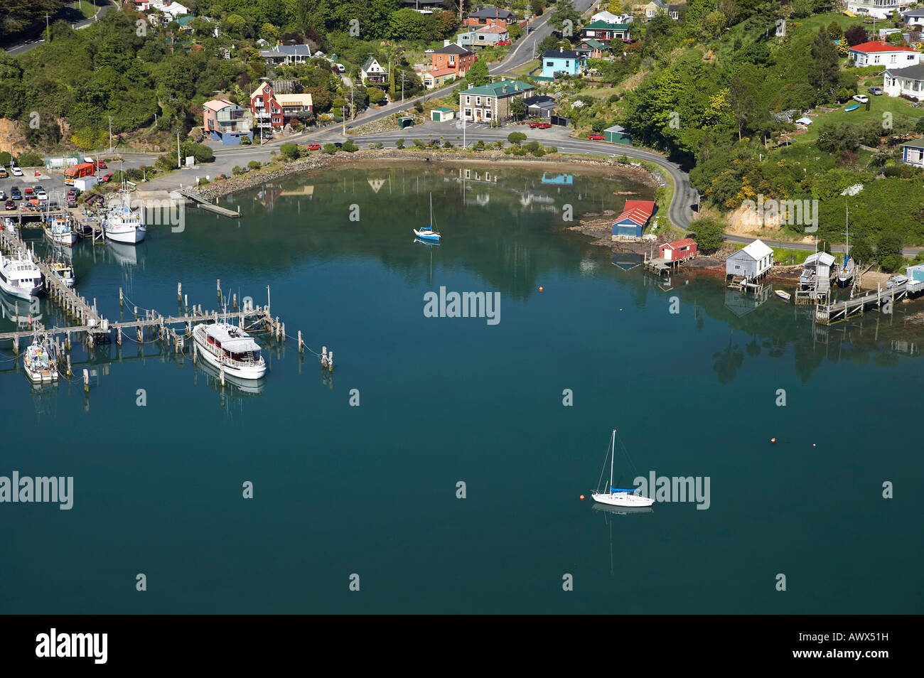 Careys Bay Otago Harbour Dunedin Neuseeland Südinsel Antenne Stockfotohttps://www.alamy.de/image-license-details/?v=1https://www.alamy.de/stockfoto-careys-bay-otago-harbour-dunedin-neuseeland-sudinsel-antenne-16666396.html
RMAWX51H–Careys Bay Otago Harbour Dunedin Neuseeland Südinsel Antenne
 Careys Bay Otago Harbour Dunedin Neuseeland Südinsel Antenne Stockfotohttps://www.alamy.de/image-license-details/?v=1https://www.alamy.de/stockfoto-careys-bay-otago-harbour-dunedin-neuseeland-sudinsel-antenne-16655460.html
RMAWW0DW–Careys Bay Otago Harbour Dunedin Neuseeland Südinsel Antenne
 Chaffers Marina, Wellington, Nordinsel, Neuseeland - Antenne Stockfotohttps://www.alamy.de/image-license-details/?v=1https://www.alamy.de/stockfoto-chaffers-marina-wellington-nordinsel-neuseeland-antenne-79601713.html
RMEHE4P9–Chaffers Marina, Wellington, Nordinsel, Neuseeland - Antenne
 Chaffers Marina, Wellington, Nordinsel, Neuseeland - Antenne Stockfotohttps://www.alamy.de/image-license-details/?v=1https://www.alamy.de/stockfoto-chaffers-marina-wellington-nordinsel-neuseeland-antenne-79601714.html
RMEHE4PA–Chaffers Marina, Wellington, Nordinsel, Neuseeland - Antenne
 Careys Bay Otago Harbour Dunedin Neuseeland Südinsel Antenne Stockfotohttps://www.alamy.de/image-license-details/?v=1https://www.alamy.de/stockfoto-careys-bay-otago-harbour-dunedin-neuseeland-sudinsel-antenne-16656089.html
RMAWW2AJ–Careys Bay Otago Harbour Dunedin Neuseeland Südinsel Antenne
 Careys Bay Otago Harbour Dunedin Neuseeland Südinsel Antenne Stockfotohttps://www.alamy.de/image-license-details/?v=1https://www.alamy.de/stockfoto-careys-bay-otago-harbour-dunedin-neuseeland-sudinsel-antenne-16667236.html
RMAWX7FH–Careys Bay Otago Harbour Dunedin Neuseeland Südinsel Antenne
 Marina am Quelle des Waikato River von Lake Taupo Taupo Nordinsel Neuseeland Antenne Stockfotohttps://www.alamy.de/image-license-details/?v=1https://www.alamy.de/marina-am-quelle-des-waikato-river-von-lake-taupo-taupo-nordinsel-neuseeland-antenne-image8944930.html
RMAP2EX3–Marina am Quelle des Waikato River von Lake Taupo Taupo Nordinsel Neuseeland Antenne
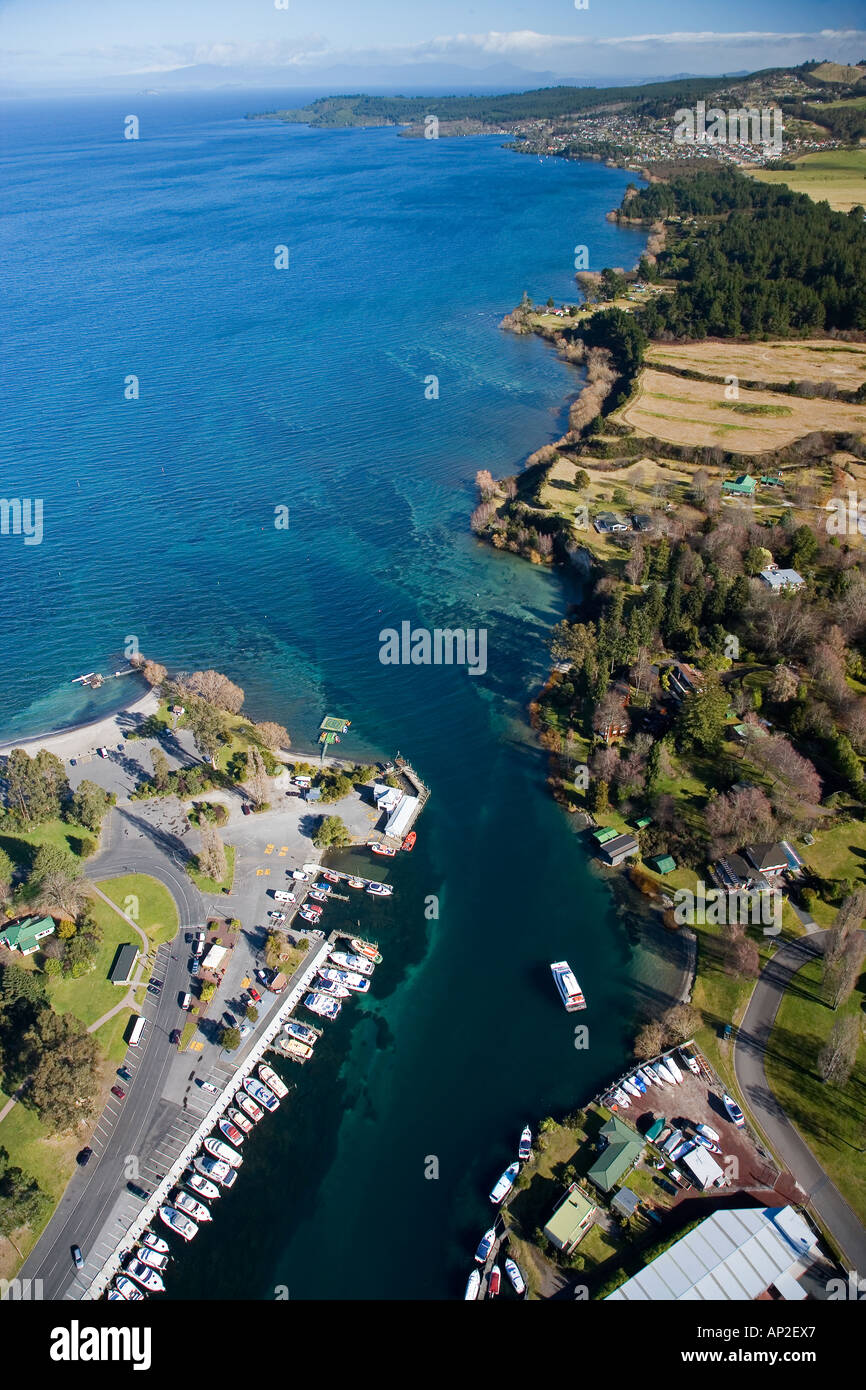 Marina am Quelle des Waikato River von Lake Taupo Taupo Nordinsel Neuseeland Antenne Stockfotohttps://www.alamy.de/image-license-details/?v=1https://www.alamy.de/marina-am-quelle-des-waikato-river-von-lake-taupo-taupo-nordinsel-neuseeland-antenne-image8944934.html
RMAP2EX7–Marina am Quelle des Waikato River von Lake Taupo Taupo Nordinsel Neuseeland Antenne
 Westport Marina Cabarita schwimmen Zentrum Cabarita Park Parramatta River Sydney New South Wales Australia Antenne Stockfotohttps://www.alamy.de/image-license-details/?v=1https://www.alamy.de/stockfoto-westport-marina-cabarita-schwimmen-zentrum-cabarita-park-parramatta-river-sydney-new-south-wales-australia-antenne-24377012.html
RMBBJD3G–Westport Marina Cabarita schwimmen Zentrum Cabarita Park Parramatta River Sydney New South Wales Australia Antenne
 Marina und Peppers Anchorage Hotel Corlette Punkt Port Stephens New South Wales Australia Antenne Stockfotohttps://www.alamy.de/image-license-details/?v=1https://www.alamy.de/stockfoto-marina-und-peppers-anchorage-hotel-corlette-punkt-port-stephens-new-south-wales-australia-antenne-21029323.html
RMB65Y37–Marina und Peppers Anchorage Hotel Corlette Punkt Port Stephens New South Wales Australia Antenne
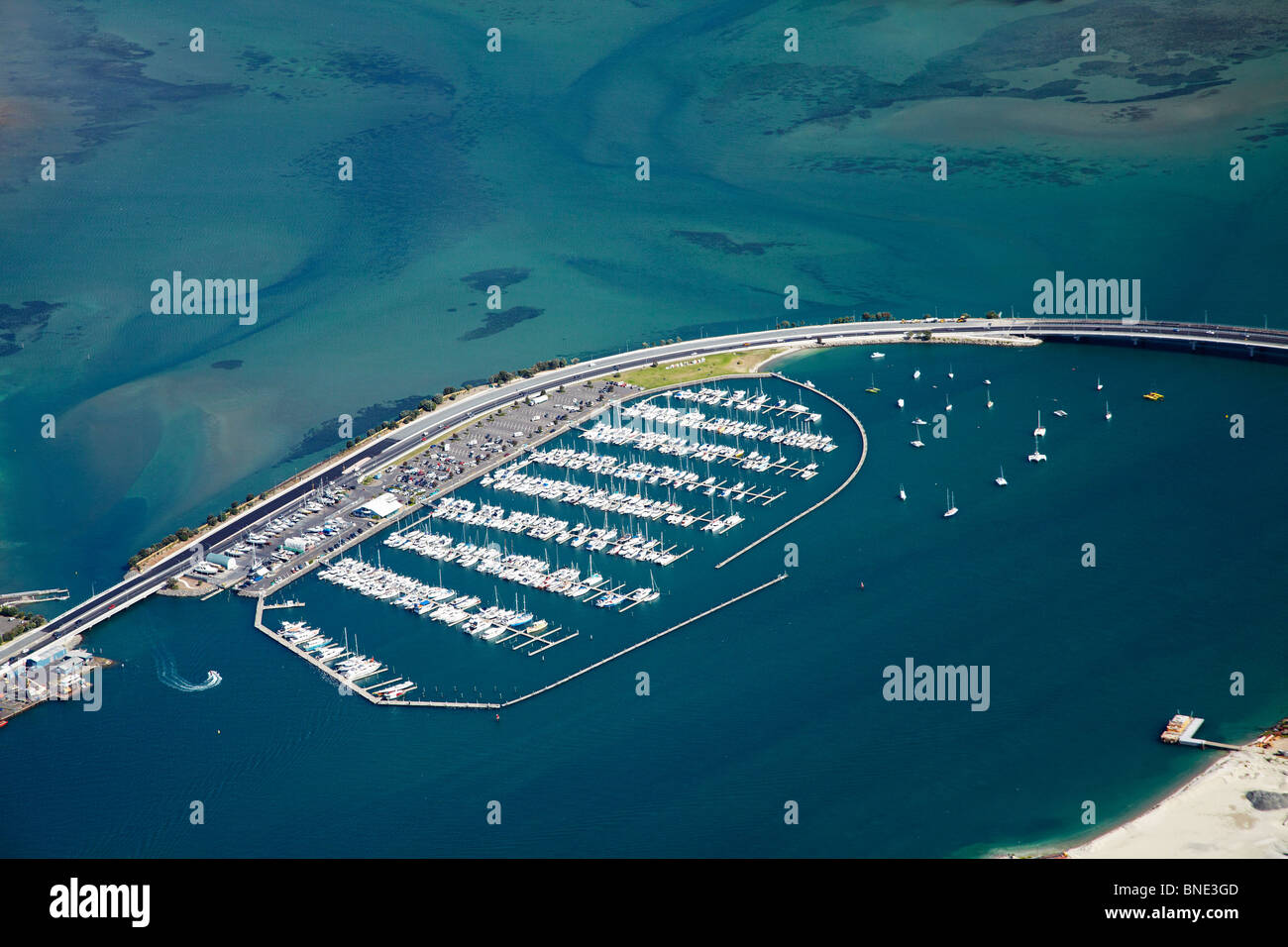 Tauranga-Brücke und Tauranga Brücke Marina, Tauranga Harbour, Bay of Plenty, North Island, Neuseeland - Antenne Stockfotohttps://www.alamy.de/image-license-details/?v=1https://www.alamy.de/stockfoto-tauranga-brucke-und-tauranga-brucke-marina-tauranga-harbour-bay-of-plenty-north-island-neuseeland-antenne-30428285.html
RMBNE3GD–Tauranga-Brücke und Tauranga Brücke Marina, Tauranga Harbour, Bay of Plenty, North Island, Neuseeland - Antenne
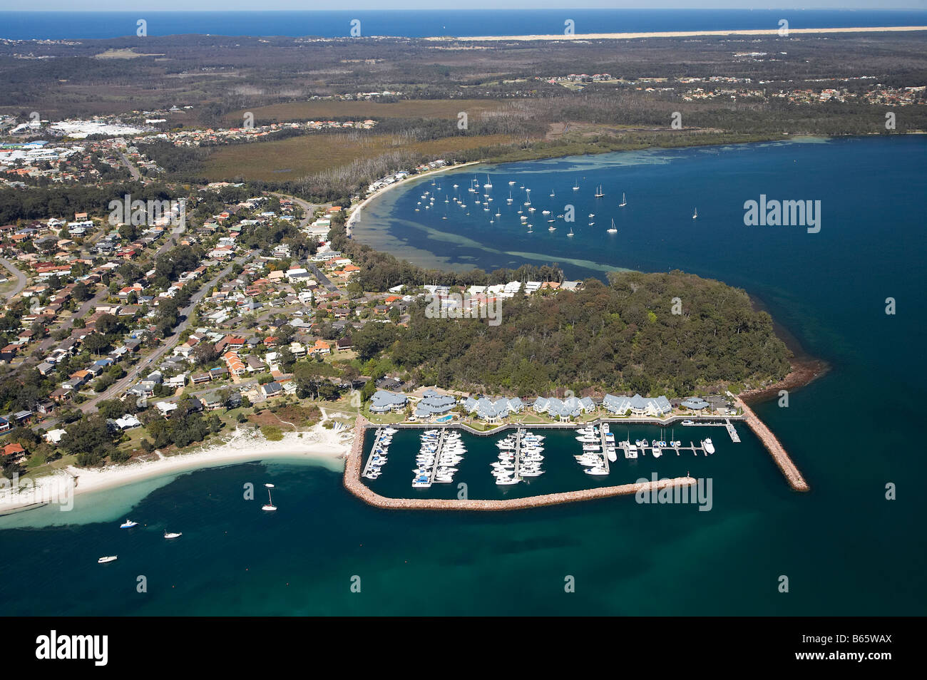 Marina und Peppers Anchorage Hotel Corlette Punkt Corlette und Salamander Bay Abstand Port Stephens New South Wales Australien Stockfotohttps://www.alamy.de/image-license-details/?v=1https://www.alamy.de/stockfoto-marina-und-peppers-anchorage-hotel-corlette-punkt-corlette-und-salamander-bay-abstand-port-stephens-new-south-wales-australien-21027970.html
RMB65WAX–Marina und Peppers Anchorage Hotel Corlette Punkt Corlette und Salamander Bay Abstand Port Stephens New South Wales Australien
 Marina und Peppers Anchorage Hotel Corlette Punkt Corlette und Salamander Bay Abstand Port Stephens New South Wales Australien Stockfotohttps://www.alamy.de/image-license-details/?v=1https://www.alamy.de/stockfoto-marina-und-peppers-anchorage-hotel-corlette-punkt-corlette-und-salamander-bay-abstand-port-stephens-new-south-wales-australien-21032101.html
RMB662JD–Marina und Peppers Anchorage Hotel Corlette Punkt Corlette und Salamander Bay Abstand Port Stephens New South Wales Australien
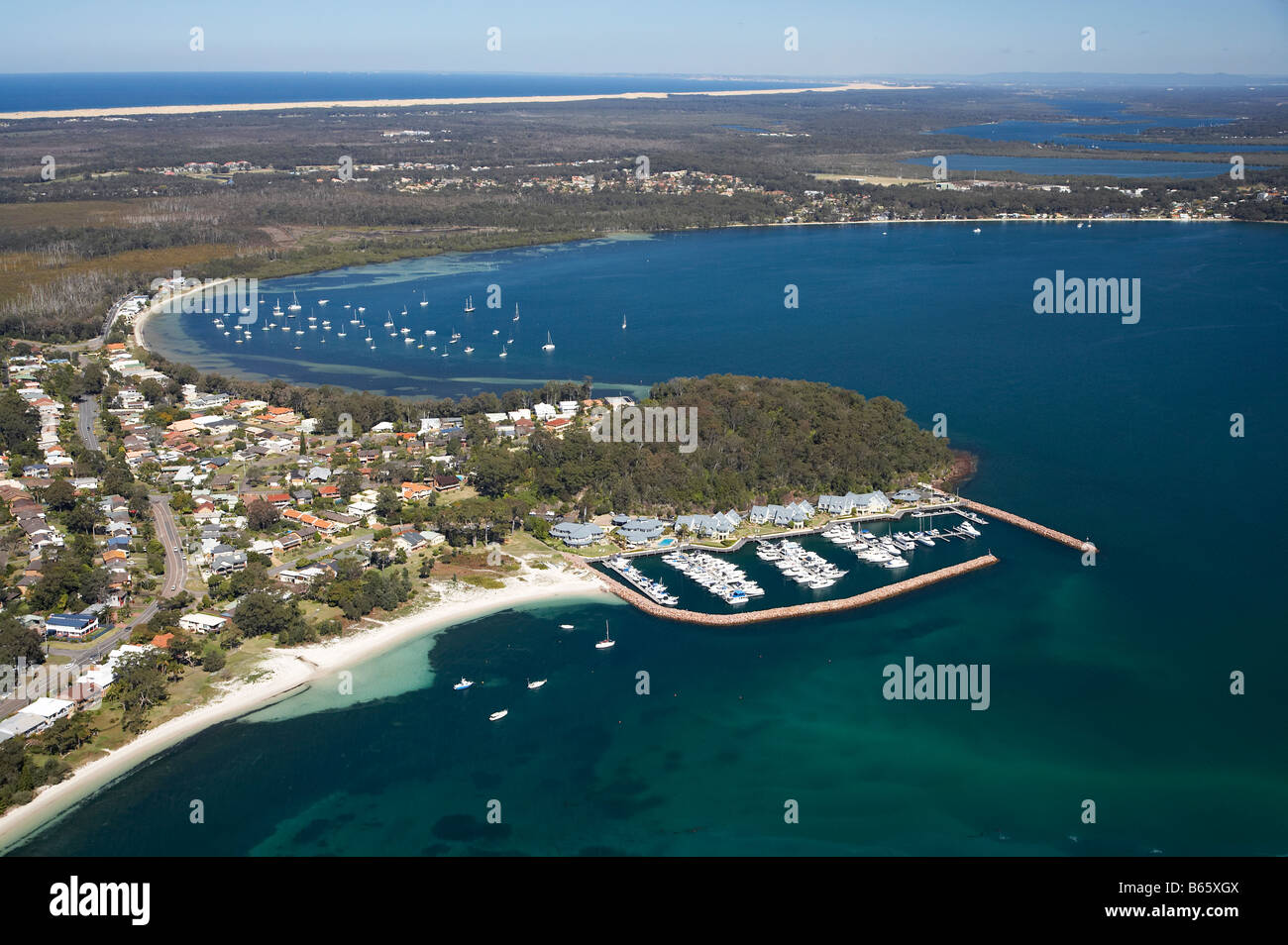 Marina und Peppers Anchorage Hotel Corlette Punkt Corlette und Salamander Bay Abstand Port Stephens New South Wales Australien Stockfotohttps://www.alamy.de/image-license-details/?v=1https://www.alamy.de/stockfoto-marina-und-peppers-anchorage-hotel-corlette-punkt-corlette-und-salamander-bay-abstand-port-stephens-new-south-wales-australien-21028922.html
RMB65XGX–Marina und Peppers Anchorage Hotel Corlette Punkt Corlette und Salamander Bay Abstand Port Stephens New South Wales Australien
 Marina und Peppers Anchorage Hotel Corlette Punkt Corlette und Salamander Bay Abstand Port Stephens New South Wales Australien Stockfotohttps://www.alamy.de/image-license-details/?v=1https://www.alamy.de/stockfoto-marina-und-peppers-anchorage-hotel-corlette-punkt-corlette-und-salamander-bay-abstand-port-stephens-new-south-wales-australien-21027931.html
RMB65W9F–Marina und Peppers Anchorage Hotel Corlette Punkt Corlette und Salamander Bay Abstand Port Stephens New South Wales Australien