Schnellfilter:
Berg irland Stockfotos & Bilder
 Berg Croagh Patrick in Irland Stockfotohttps://www.alamy.de/image-license-details/?v=1https://www.alamy.de/berg-croagh-patrick-in-irland-image155726016.html
RMK19X3C–Berg Croagh Patrick in Irland
 Landschaft mit Mangerton Mountain, Irland Stockfotohttps://www.alamy.de/image-license-details/?v=1https://www.alamy.de/landschaft-mit-mangerton-mountain-irland-image432818515.html
RF2G44GC3–Landschaft mit Mangerton Mountain, Irland
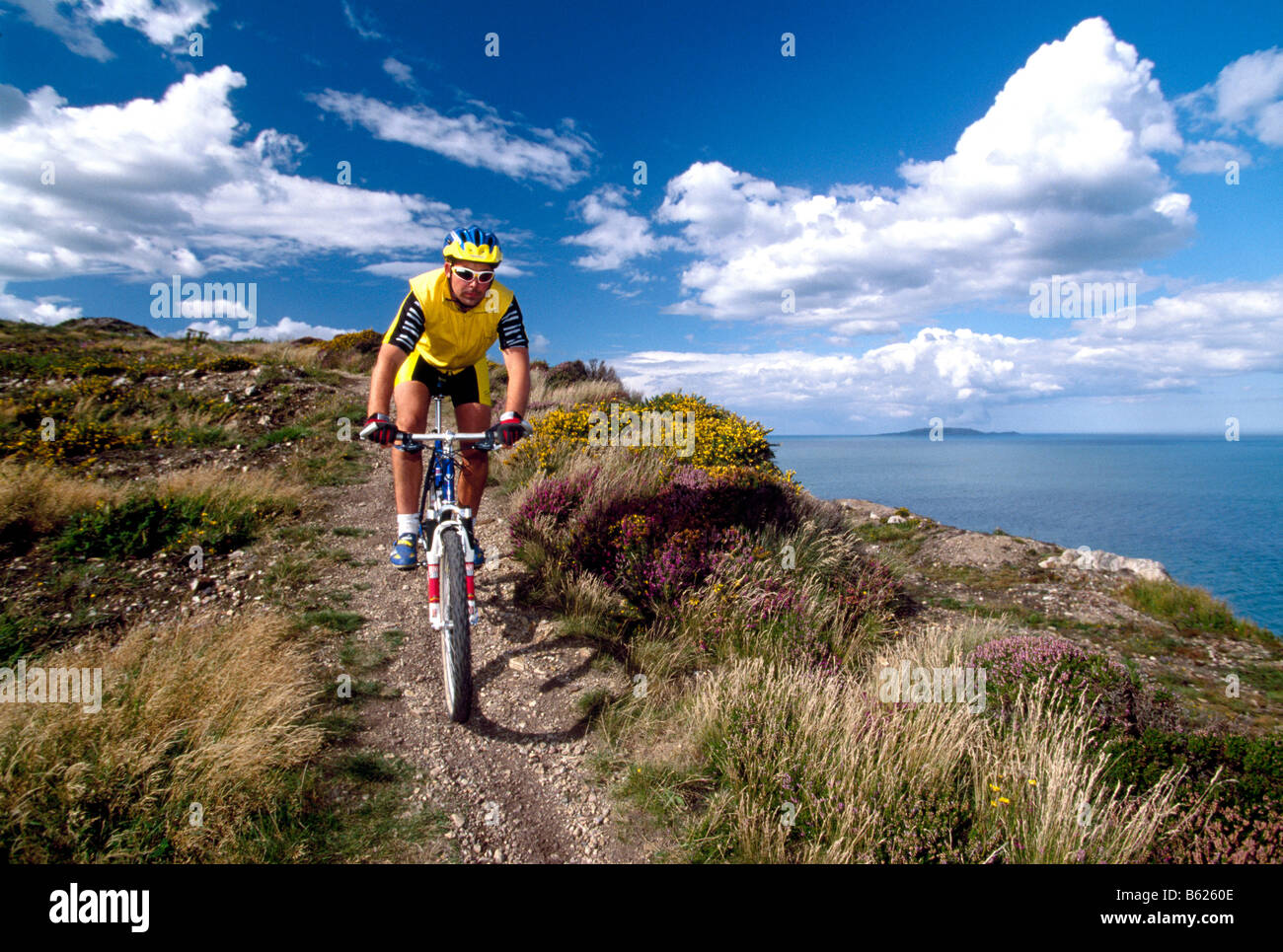 Mountainbiker, Howth, Dublin, Irland, Europa Stockfotohttps://www.alamy.de/image-license-details/?v=1https://www.alamy.de/stockfoto-mountainbiker-howth-dublin-irland-europa-20946926.html
RMB6260E–Mountainbiker, Howth, Dublin, Irland, Europa
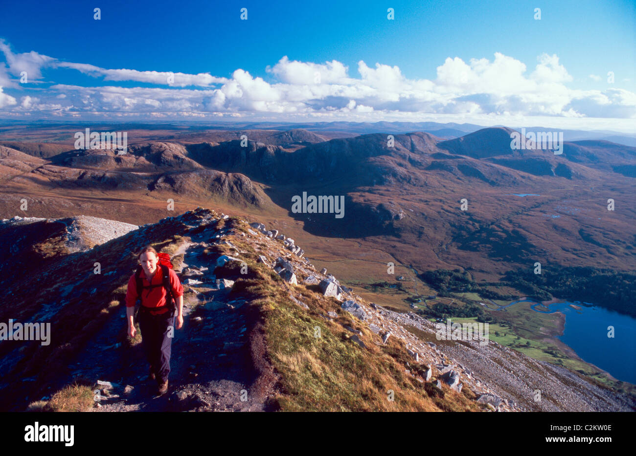 Walker auf dem Gipfelgrat der Errigal Mountain, mit der Derryveagh Berge dahinter. County Donegal, Irland. Stockfotohttps://www.alamy.de/image-license-details/?v=1https://www.alamy.de/stockfoto-walker-auf-dem-gipfelgrat-der-errigal-mountain-mit-der-derryveagh-berge-dahinter-county-donegal-irland-36086750.html
RMC2KW0E–Walker auf dem Gipfelgrat der Errigal Mountain, mit der Derryveagh Berge dahinter. County Donegal, Irland.
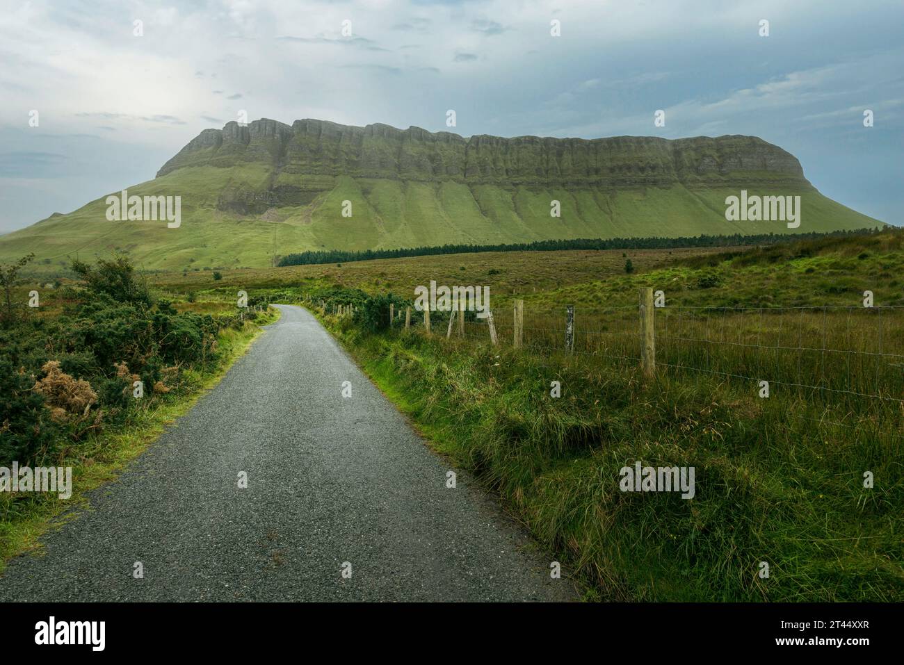 Benbulben ist ein markanter Tafelberg im County Sligo, Irland. Stockfotohttps://www.alamy.de/image-license-details/?v=1https://www.alamy.de/benbulben-ist-ein-markanter-tafelberg-im-county-sligo-irland-image570509711.html
RF2T44XXR–Benbulben ist ein markanter Tafelberg im County Sligo, Irland.
 Gebirgsbach und Gap Of Dunloe, Co.Kerry, Irland Stockfotohttps://www.alamy.de/image-license-details/?v=1https://www.alamy.de/stockfoto-gebirgsbach-und-gap-of-dunloe-cokerry-irland-39737930.html
RFC8J63P–Gebirgsbach und Gap Of Dunloe, Co.Kerry, Irland
 Bergschafe auf dem Weg zur Bunglass, Slieve League, Donegal, Irland Stockfotohttps://www.alamy.de/image-license-details/?v=1https://www.alamy.de/stockfoto-bergschafe-auf-dem-weg-zur-bunglass-slieve-league-donegal-irland-79481986.html
RMEH8M2A–Bergschafe auf dem Weg zur Bunglass, Slieve League, Donegal, Irland
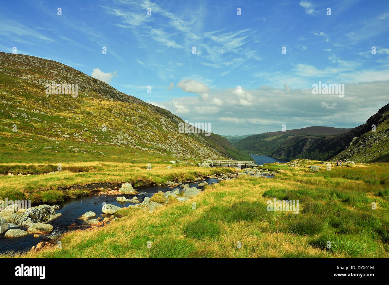 Bergbach im County Wicklow, Irland Stockfotohttps://www.alamy.de/image-license-details/?v=1https://www.alamy.de/bergbach-im-county-wicklow-irland-image68797616.html
RFDYX01M–Bergbach im County Wicklow, Irland
 Cumulus-Wolken über Mweelrea Berg von Renvyle Strand, Connemara, County Galway, Irland Stockfotohttps://www.alamy.de/image-license-details/?v=1https://www.alamy.de/stockfoto-cumulus-wolken-uber-mweelrea-berg-von-renvyle-strand-connemara-county-galway-irland-28619842.html
RMBJFMW6–Cumulus-Wolken über Mweelrea Berg von Renvyle Strand, Connemara, County Galway, Irland
 Früh morgens am Lough Inagh, Connemara, Co. Galway, Irland, mit der Bergkette der Twelve Bens im Hintergrund Stockfotohttps://www.alamy.de/image-license-details/?v=1https://www.alamy.de/stockfoto-fruh-morgens-am-lough-inagh-connemara-co-galway-irland-mit-der-bergkette-der-twelve-bens-im-hintergrund-39548422.html
RMC89GBJ–Früh morgens am Lough Inagh, Connemara, Co. Galway, Irland, mit der Bergkette der Twelve Bens im Hintergrund
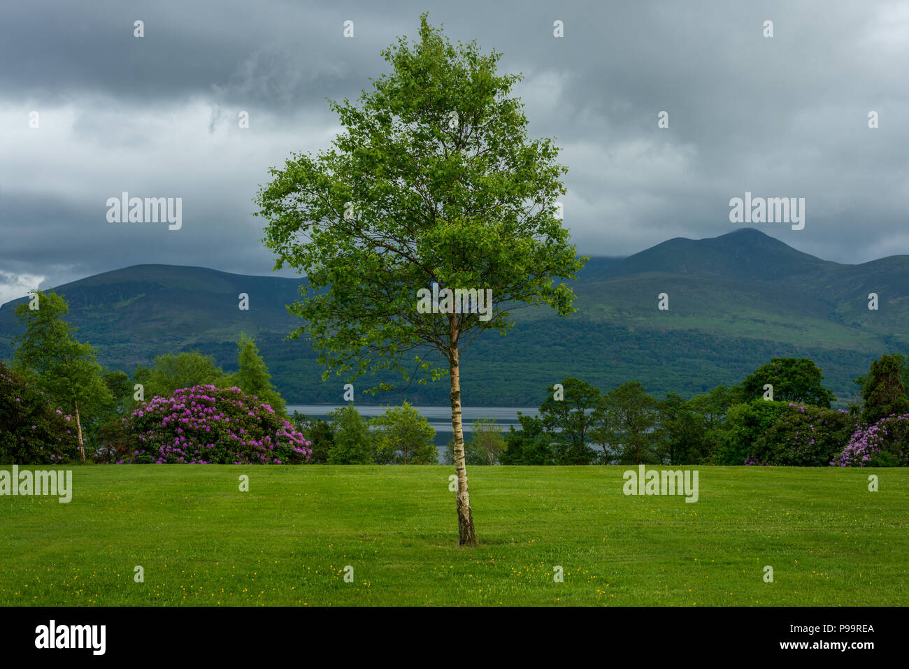 Irlands Landschaft und Fossa, Killarney National Park mit Blick auf den Lough Leane See und den Tomies Mountain im County Kerry, Irland Stockfotohttps://www.alamy.de/image-license-details/?v=1https://www.alamy.de/irlands-landschaft-und-fossa-killarney-national-park-mit-blick-auf-den-lough-leane-see-und-den-tomies-mountain-im-county-kerry-irland-image212272322.html
RMP99REA–Irlands Landschaft und Fossa, Killarney National Park mit Blick auf den Lough Leane See und den Tomies Mountain im County Kerry, Irland
 Slievemore Mountain, Achill Island, County Mayo, Irland im Frühling Stockfotohttps://www.alamy.de/image-license-details/?v=1https://www.alamy.de/slievemore-mountain-achill-island-county-mayo-irland-im-fruhling-image469057666.html
RM2J73BRE–Slievemore Mountain, Achill Island, County Mayo, Irland im Frühling
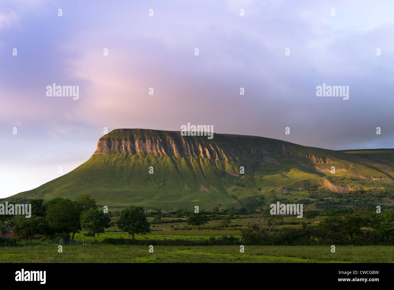 Ben Bulben Tabletop Berg, County Sligo, Connacht, Irland, Europa. Stockfotohttps://www.alamy.de/image-license-details/?v=1https://www.alamy.de/stockfoto-ben-bulben-tabletop-berg-county-sligo-connacht-irland-europa-50063437.html
RMCWCGBW–Ben Bulben Tabletop Berg, County Sligo, Connacht, Irland, Europa.
 Bach und Landschaft mit MacGillycuddy's Reeks Bergkette im Hintergrund, Kerry, Irland Stockfotohttps://www.alamy.de/image-license-details/?v=1https://www.alamy.de/bach-und-landschaft-mit-macgillycuddys-reeks-bergkette-im-hintergrund-kerry-irland-image365455045.html
RF2C6FWHW–Bach und Landschaft mit MacGillycuddy's Reeks Bergkette im Hintergrund, Kerry, Irland
 Wunderschöne Landschaft in Ventry, in der Nähe von Dingle in Irland. Sandy Bay ist zwischen Joyful dasies im Vordergrund und einem dunklen Berg auf dem Backgroun dargestellt Stockfotohttps://www.alamy.de/image-license-details/?v=1https://www.alamy.de/wunderschone-landschaft-in-ventry-in-der-nahe-von-dingle-in-irland-sandy-bay-ist-zwischen-joyful-dasies-im-vordergrund-und-einem-dunklen-berg-auf-dem-backgroun-dargestellt-image398773587.html
RF2E4NKNR–Wunderschöne Landschaft in Ventry, in der Nähe von Dingle in Irland. Sandy Bay ist zwischen Joyful dasies im Vordergrund und einem dunklen Berg auf dem Backgroun dargestellt
 Panorama des Doolough Valley mit Seen und Bergkette, Irland Stockfotohttps://www.alamy.de/image-license-details/?v=1https://www.alamy.de/panorama-des-doolough-valley-mit-seen-und-bergkette-irland-image550289285.html
RF2PY7RGN–Panorama des Doolough Valley mit Seen und Bergkette, Irland
 Doolough Valley Schild mit Seen Bergkette im Hintergrund, Irland Stockfotohttps://www.alamy.de/image-license-details/?v=1https://www.alamy.de/doolough-valley-schild-mit-seen-bergkette-im-hintergrund-irland-image547480089.html
RM2PPKTC9–Doolough Valley Schild mit Seen Bergkette im Hintergrund, Irland
 Suche Northwest in Com Lothar Tal mit caher Berg auf der linken Seite in der MacGillycuddy Reeks in Killarney, County Kerry, Irland Stockfotohttps://www.alamy.de/image-license-details/?v=1https://www.alamy.de/suche-northwest-in-com-lothar-tal-mit-caher-berg-auf-der-linken-seite-in-der-macgillycuddy-reeks-in-killarney-county-kerry-irland-image212179541.html
RFP95H4N–Suche Northwest in Com Lothar Tal mit caher Berg auf der linken Seite in der MacGillycuddy Reeks in Killarney, County Kerry, Irland
 Lough Tay in der Nähe von Ballyhorrigan, unten Luggala Berg, in der Nähe von Sally Gap Nationalpark County Wicklow, Irland Stockfotohttps://www.alamy.de/image-license-details/?v=1https://www.alamy.de/stockfoto-lough-tay-in-der-nahe-von-ballyhorrigan-unten-luggala-berg-in-der-nahe-von-sally-gap-nationalpark-county-wicklow-irland-57516401.html
RMD9G2N5–Lough Tay in der Nähe von Ballyhorrigan, unten Luggala Berg, in der Nähe von Sally Gap Nationalpark County Wicklow, Irland
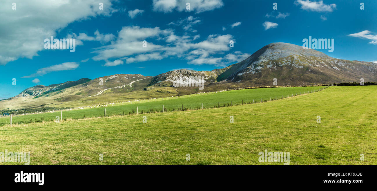 Berg Croagh Patrick in Irland Stockfotohttps://www.alamy.de/image-license-details/?v=1https://www.alamy.de/berg-croagh-patrick-in-irland-image155726015.html
RMK19X3B–Berg Croagh Patrick in Irland
 Die Mourne Felswand liefen von Slieve Donard in der Nähe von Newcastle, County Down, Irland. Stockfotohttps://www.alamy.de/image-license-details/?v=1https://www.alamy.de/stockfoto-die-mourne-felswand-liefen-von-slieve-donard-in-der-nahe-von-newcastle-county-down-irland-93089373.html
RMFBCGCD–Die Mourne Felswand liefen von Slieve Donard in der Nähe von Newcastle, County Down, Irland.
 Connemara, Galway, Irland Stockfotohttps://www.alamy.de/image-license-details/?v=1https://www.alamy.de/stockfoto-connemara-galway-irland-165890240.html
RMKHTXKC–Connemara, Galway, Irland
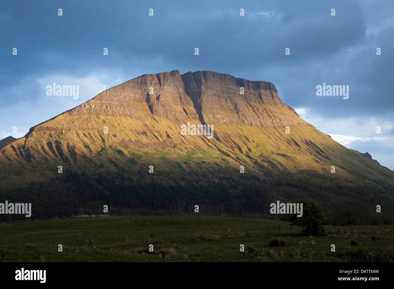 Abendlicht am Benwiskin Berg, County Sligo, Irland. Stockfotohttps://www.alamy.de/image-license-details/?v=1https://www.alamy.de/stockfoto-abendlicht-am-benwiskin-berg-county-sligo-irland-54635977.html
RMD4TTMW–Abendlicht am Benwiskin Berg, County Sligo, Irland.
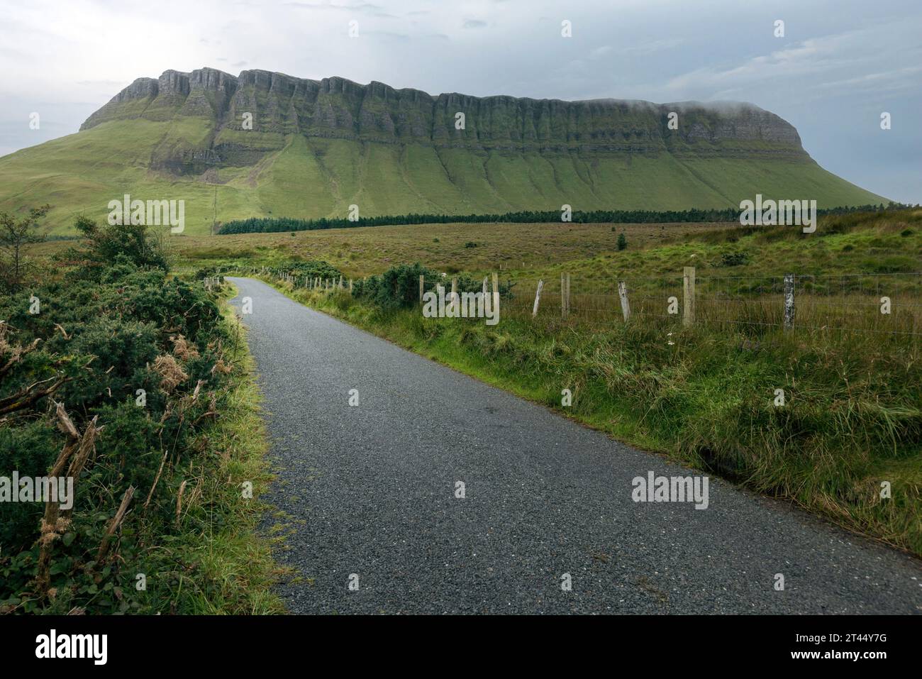 Benbulben ist ein markanter Tafelberg im County Sligo, Irland. Stockfotohttps://www.alamy.de/image-license-details/?v=1https://www.alamy.de/benbulben-ist-ein-markanter-tafelberg-im-county-sligo-irland-image570509956.html
RF2T44Y7G–Benbulben ist ein markanter Tafelberg im County Sligo, Irland.
 Connemara Lettergesh Strand Mweelrea Mountains im Hintergrund Grafschaft Galway westlich von Irland Stockfotohttps://www.alamy.de/image-license-details/?v=1https://www.alamy.de/stockfoto-connemara-lettergesh-strand-mweelrea-mountains-im-hintergrund-grafschaft-galway-westlich-von-irland-21152502.html
RMB6BG6E–Connemara Lettergesh Strand Mweelrea Mountains im Hintergrund Grafschaft Galway westlich von Irland
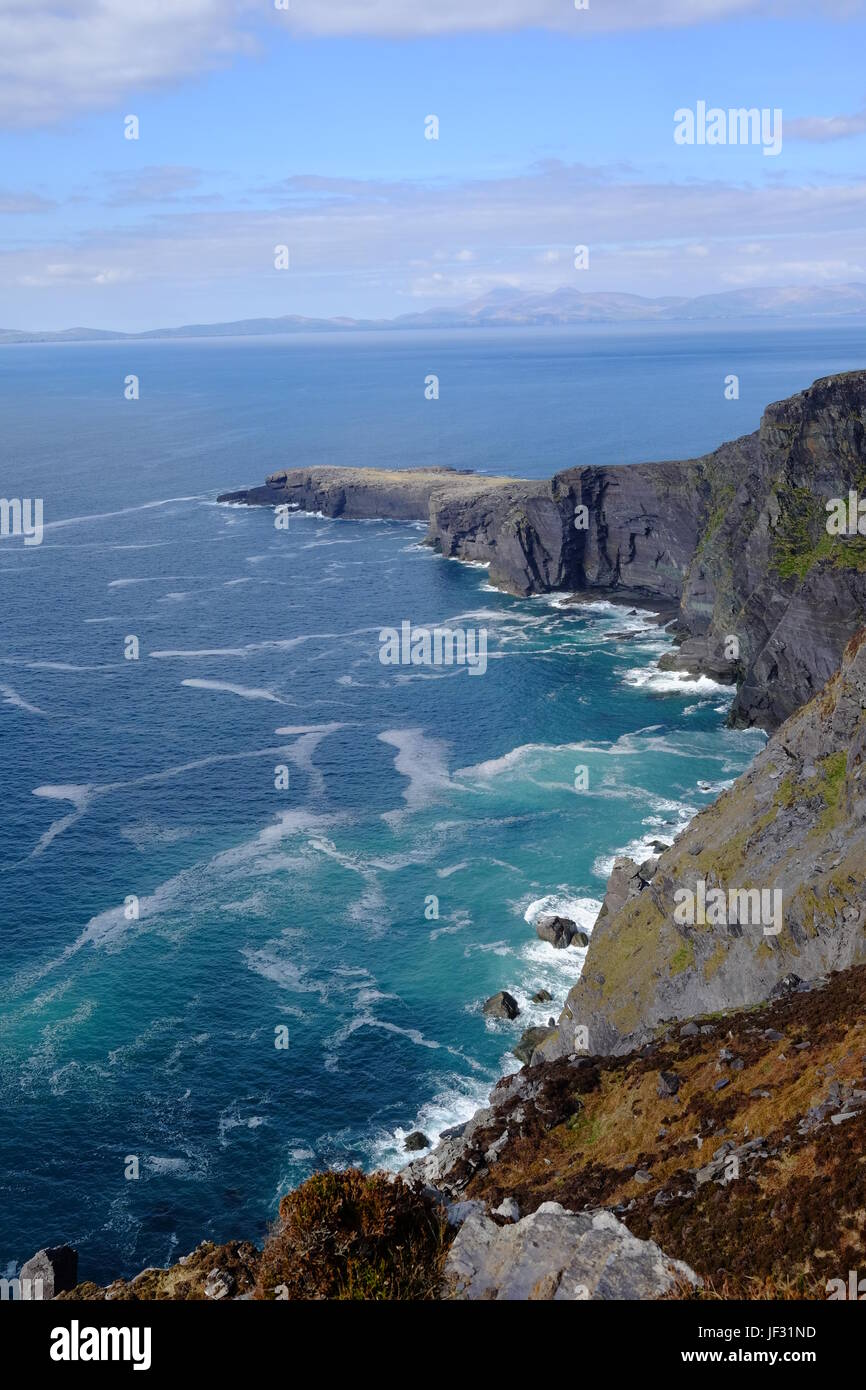 Blick vom Geokaun Berg über Fogher Klippen, Valentia Island, County Kerry, Irland. Der höchste Punkt auf Valentia Island. Blick in Richtung Dingle. Stockfotohttps://www.alamy.de/image-license-details/?v=1https://www.alamy.de/stockfoto-blick-vom-geokaun-berg-uber-fogher-klippen-valentia-island-county-kerry-irland-der-hochste-punkt-auf-valentia-island-blick-in-richtung-dingle-146970025.html
RMJF31ND–Blick vom Geokaun Berg über Fogher Klippen, Valentia Island, County Kerry, Irland. Der höchste Punkt auf Valentia Island. Blick in Richtung Dingle.
 Der Zuckerhut in der Grafschaft Wicklow in Irland Stockfotohttps://www.alamy.de/image-license-details/?v=1https://www.alamy.de/stockfoto-der-zuckerhut-in-der-grafschaft-wicklow-in-irland-123411511.html
RFH4NTHY–Der Zuckerhut in der Grafschaft Wicklow in Irland
 Cumulus-Wolken über Mweelrea Berg von Renvyle Strand, Connemara, County Galway, Irland Stockfotohttps://www.alamy.de/image-license-details/?v=1https://www.alamy.de/stockfoto-cumulus-wolken-uber-mweelrea-berg-von-renvyle-strand-connemara-county-galway-irland-28619082.html
RMBJFKX2–Cumulus-Wolken über Mweelrea Berg von Renvyle Strand, Connemara, County Galway, Irland
 Früh morgens am Lough Inagh, Connemara, Co. Galway, Irland, mit der Bergkette der Twelve Bens im Hintergrund Stockfotohttps://www.alamy.de/image-license-details/?v=1https://www.alamy.de/stockfoto-fruh-morgens-am-lough-inagh-connemara-co-galway-irland-mit-der-bergkette-der-twelve-bens-im-hintergrund-43696388.html
RMCF2F58–Früh morgens am Lough Inagh, Connemara, Co. Galway, Irland, mit der Bergkette der Twelve Bens im Hintergrund
 Irland sonnige irische Landschaft mit Hirschherde und McGillycuddy's Reeks an sonnigen Tag als der höchste Berg und Carrantuohill mit schneebedecktem bedeckt. Stockfotohttps://www.alamy.de/image-license-details/?v=1https://www.alamy.de/stockfoto-irland-sonnige-irische-landschaft-mit-hirschherde-und-mcgillycuddys-reeks-an-sonnigen-tag-als-der-hochste-berg-und-carrantuohill-mit-schneebedecktem-bedeckt-165160124.html
RMKGKKBT–Irland sonnige irische Landschaft mit Hirschherde und McGillycuddy's Reeks an sonnigen Tag als der höchste Berg und Carrantuohill mit schneebedecktem bedeckt.
 Slievemore Mountain, Achill Island, County Mayo, Irland im Frühling Stockfotohttps://www.alamy.de/image-license-details/?v=1https://www.alamy.de/slievemore-mountain-achill-island-county-mayo-irland-im-fruhling-image469057736.html
RM2J73BX0–Slievemore Mountain, Achill Island, County Mayo, Irland im Frühling
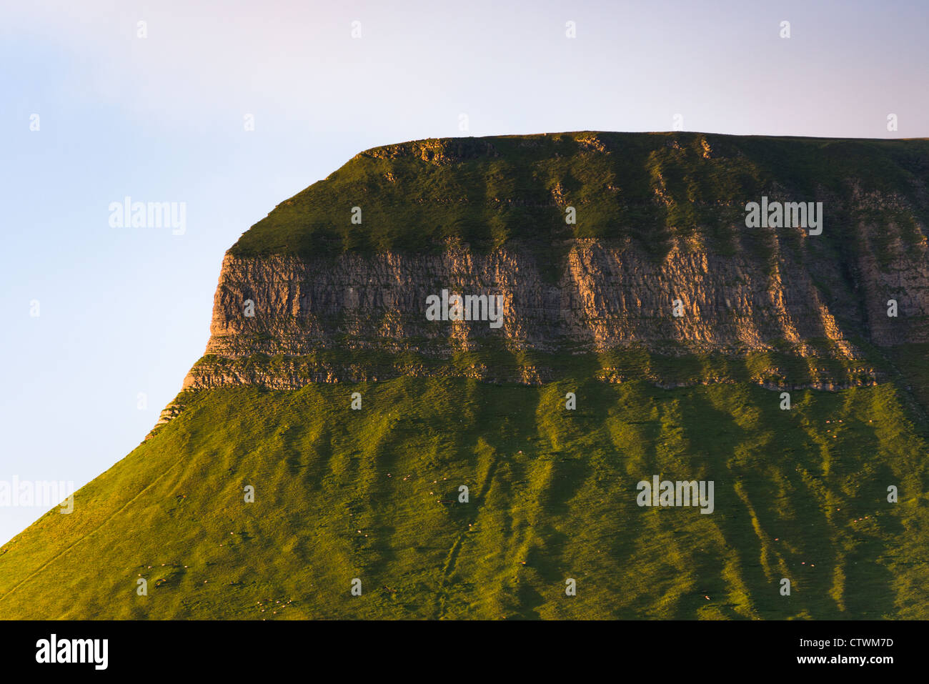 Ben Bulben Tabletop Berg, County Sligo, Connacht, Irland, Europa. Stockfotohttps://www.alamy.de/image-license-details/?v=1https://www.alamy.de/stockfoto-ben-bulben-tabletop-berg-county-sligo-connacht-irland-europa-49737169.html
RFCTWM7D–Ben Bulben Tabletop Berg, County Sligo, Connacht, Irland, Europa.
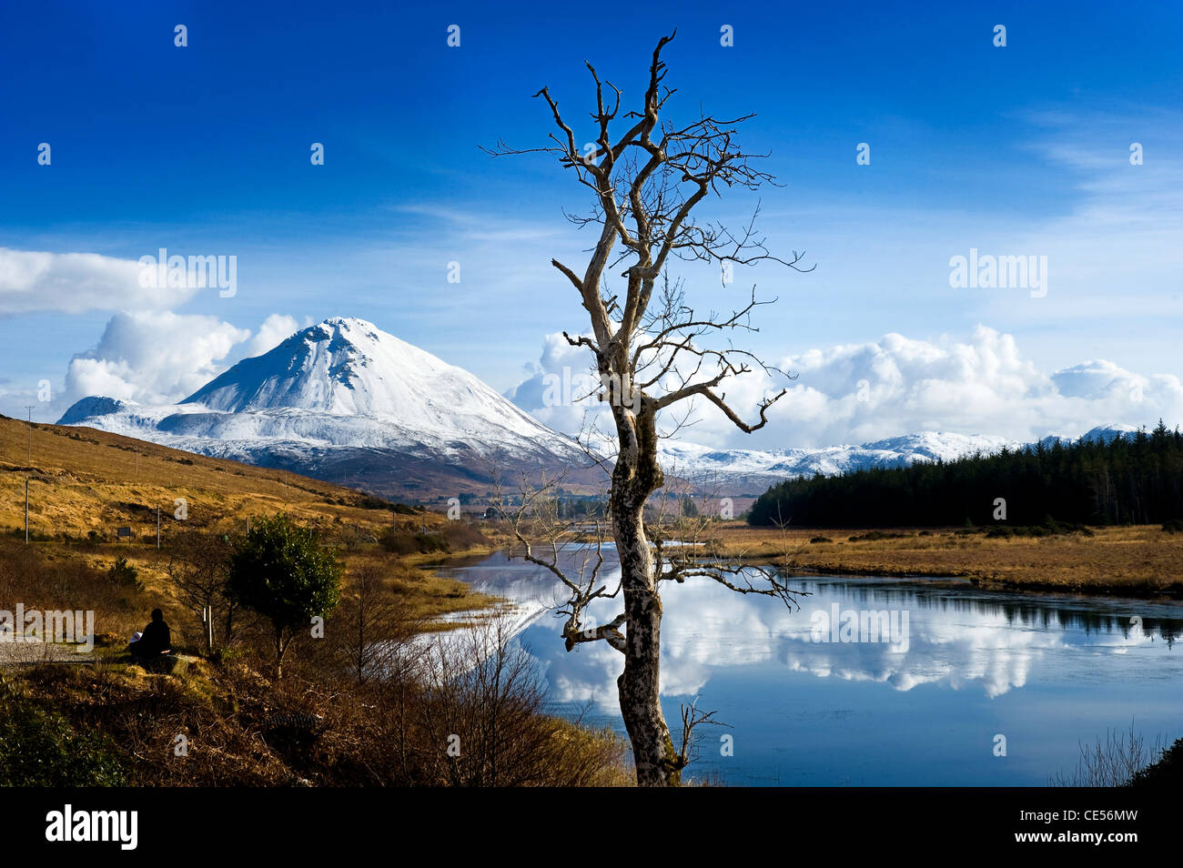 Errigal Mountain, Donegal, Irland Stockfotohttps://www.alamy.de/image-license-details/?v=1https://www.alamy.de/stockfoto-errigal-mountain-donegal-irland-43140969.html
RFCE56MW–Errigal Mountain, Donegal, Irland
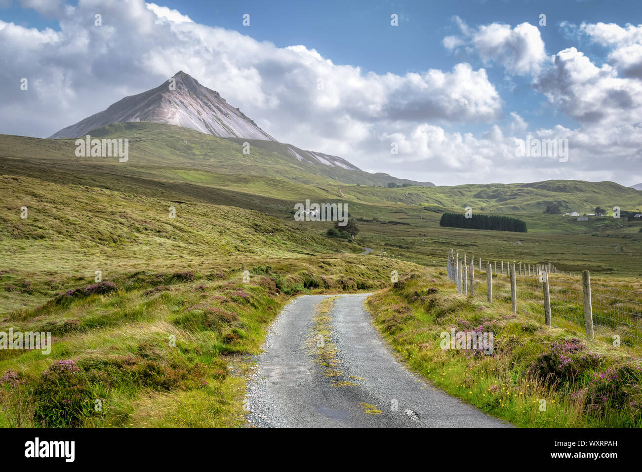 Ein entferntes Land Straße, die sich bis hinauf zum Mount Errigal im County Donegal Irland Stockfotohttps://www.alamy.de/image-license-details/?v=1https://www.alamy.de/ein-entferntes-land-strasse-die-sich-bis-hinauf-zum-mount-errigal-im-county-donegal-irland-image274659017.html
RFWXRPAH–Ein entferntes Land Straße, die sich bis hinauf zum Mount Errigal im County Donegal Irland
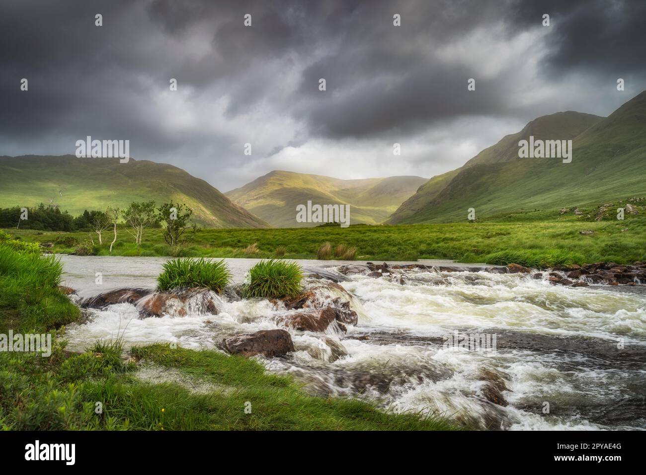 Bundoragha River mit kleinen Wasserfällen und Bergketten im Hintergrund, Irland Stockfotohttps://www.alamy.de/image-license-details/?v=1https://www.alamy.de/bundoragha-river-mit-kleinen-wasserfallen-und-bergketten-im-hintergrund-irland-image550347744.html
RF2PYAE4G–Bundoragha River mit kleinen Wasserfällen und Bergketten im Hintergrund, Irland
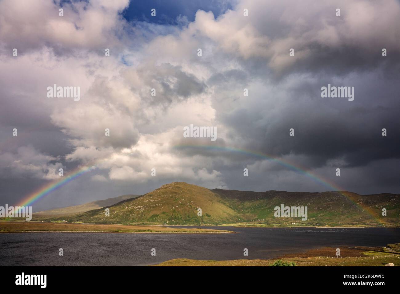 Regenbogen über dem Claggan Mountain in Blacksod Bay, County Mayo Irland Stockfotohttps://www.alamy.de/image-license-details/?v=1https://www.alamy.de/regenbogen-uber-dem-claggan-mountain-in-blacksod-bay-county-mayo-irland-image485883641.html
RF2K6DWF5–Regenbogen über dem Claggan Mountain in Blacksod Bay, County Mayo Irland
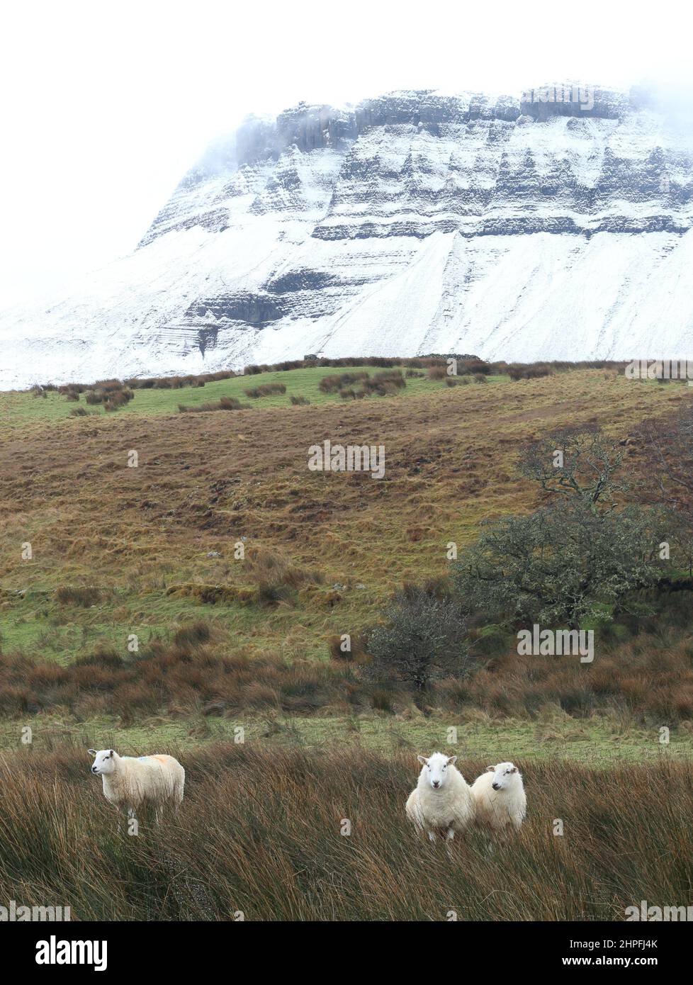 Schafe auf dem Ackerland am Fuße des schneebedeckten Benbulben-Berges, County Sligo, Irland Stockfotohttps://www.alamy.de/image-license-details/?v=1https://www.alamy.de/schafe-auf-dem-ackerland-am-fusse-des-schneebedeckten-benbulben-berges-county-sligo-irland-image461335523.html
RF2HPFJ4K–Schafe auf dem Ackerland am Fuße des schneebedeckten Benbulben-Berges, County Sligo, Irland
 Nahaufnahme der zerklüfteten Hänge des Teevnabinnia Mountain im Doo Lough Valley, County Mayo, Irland Stockfotohttps://www.alamy.de/image-license-details/?v=1https://www.alamy.de/nahaufnahme-der-zerklufteten-hange-des-teevnabinnia-mountain-im-doo-lough-valley-county-mayo-irland-image625115676.html
RM2Y90DBT–Nahaufnahme der zerklüfteten Hänge des Teevnabinnia Mountain im Doo Lough Valley, County Mayo, Irland
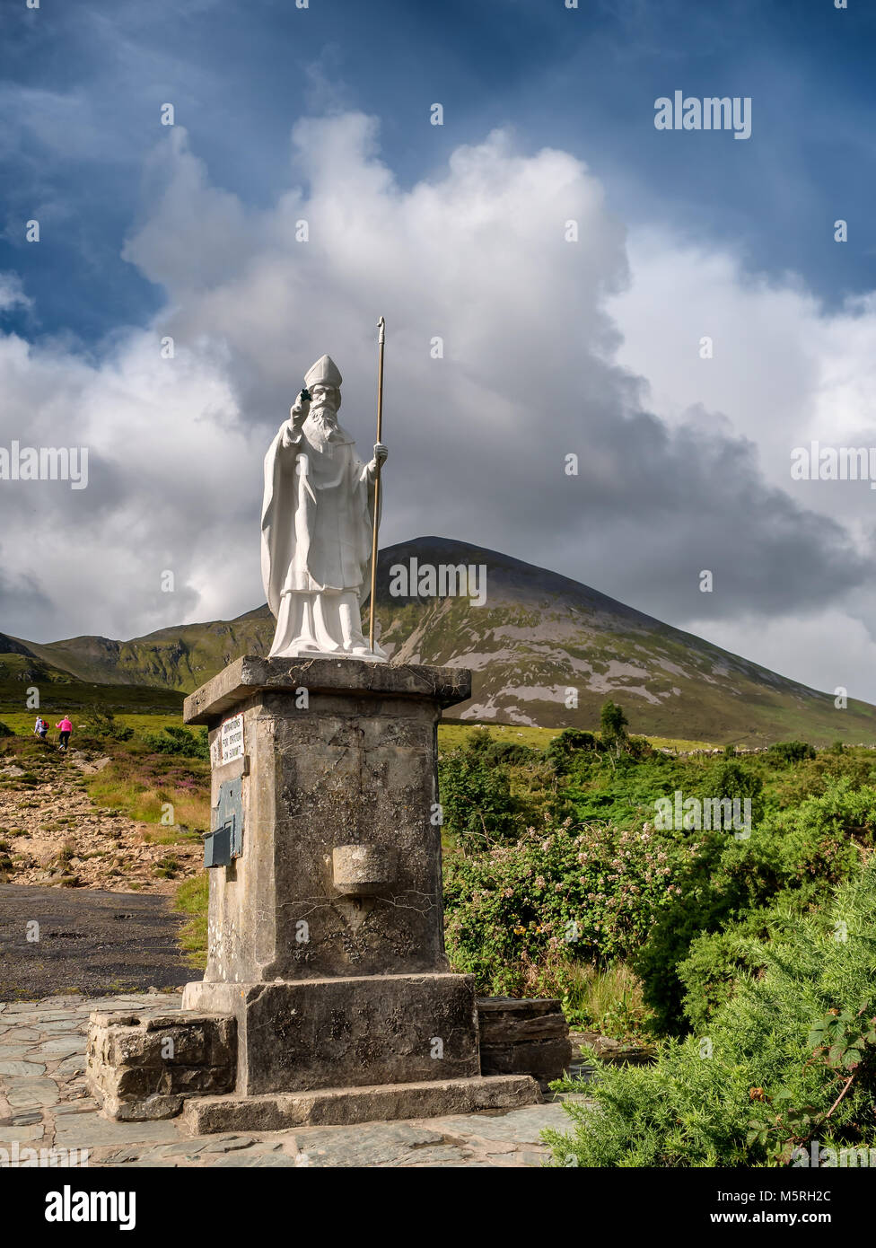 Pathway Start mit Statue auf Croagh Patrick in Westport Irland Stockfotohttps://www.alamy.de/image-license-details/?v=1https://www.alamy.de/stockfoto-pathway-start-mit-statue-auf-croagh-patrick-in-westport-irland-175695252.html
RFM5RH2C–Pathway Start mit Statue auf Croagh Patrick in Westport Irland
 Landschaft der Grafschaft Wicklow aus Kilcoole, Irland Stockfotohttps://www.alamy.de/image-license-details/?v=1https://www.alamy.de/stockfoto-landschaft-der-grafschaft-wicklow-aus-kilcoole-irland-27261494.html
RMBG9T8P–Landschaft der Grafschaft Wicklow aus Kilcoole, Irland
 Lurigethan Berg Glenariff Grafschaft Antrim Irland Stockfotohttps://www.alamy.de/image-license-details/?v=1https://www.alamy.de/stockfoto-lurigethan-berg-glenariff-grafschaft-antrim-irland-78198504.html
RMEF66YM–Lurigethan Berg Glenariff Grafschaft Antrim Irland
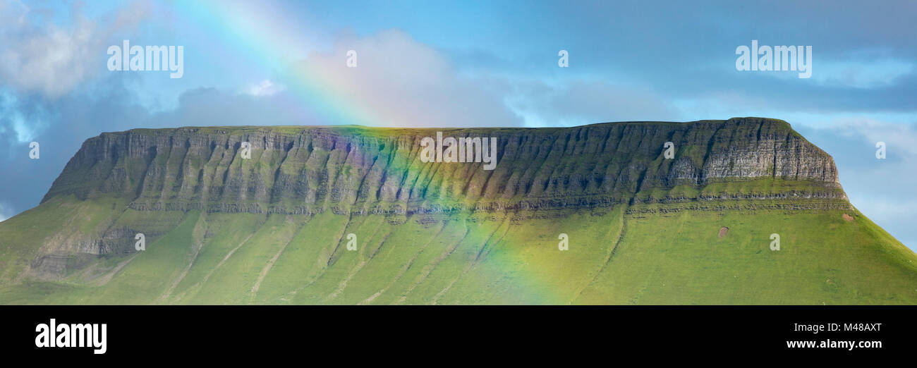 Regenbogen unter Benbulbin Berg, County Sligo, Irland. Stockfotohttps://www.alamy.de/image-license-details/?v=1https://www.alamy.de/stockfoto-regenbogen-unter-benbulbin-berg-county-sligo-irland-174746512.html
RMM48AXT–Regenbogen unter Benbulbin Berg, County Sligo, Irland.
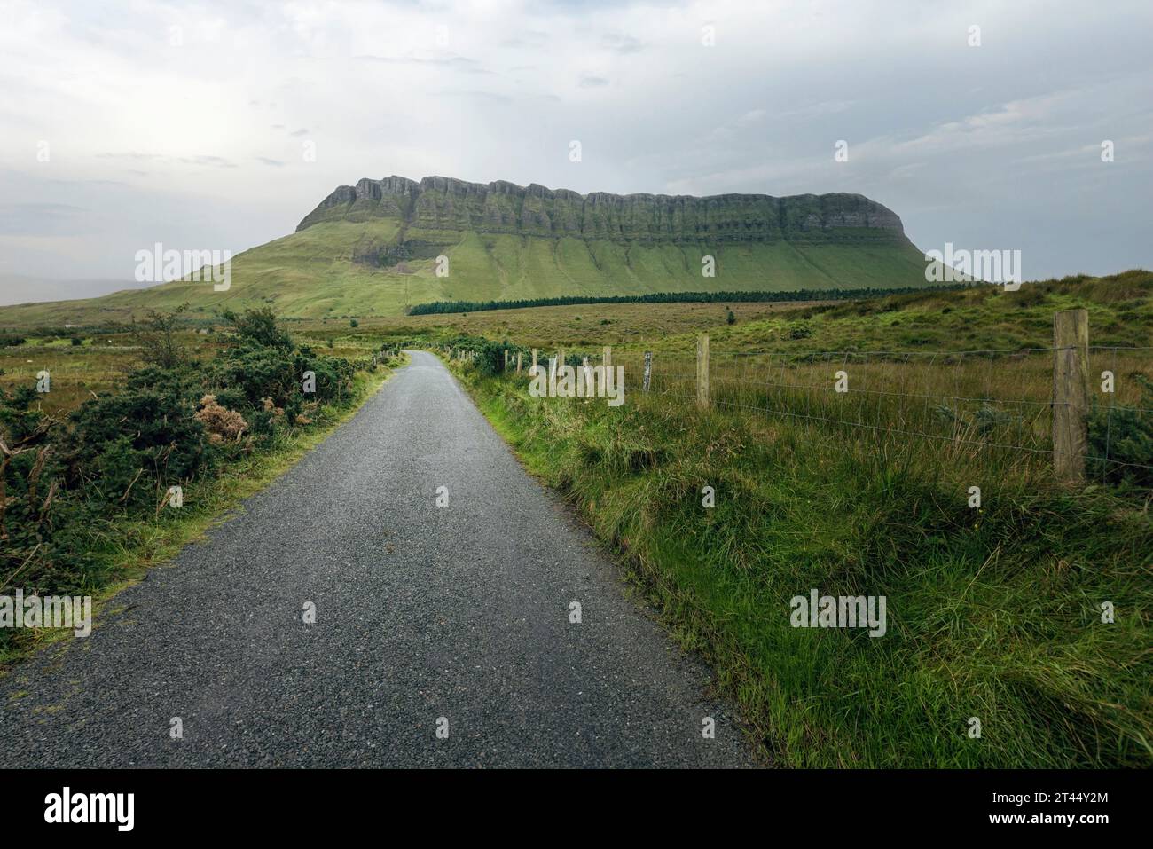 Benbulben ist ein markanter Tafelberg im County Sligo, Irland. Stockfotohttps://www.alamy.de/image-license-details/?v=1https://www.alamy.de/benbulben-ist-ein-markanter-tafelberg-im-county-sligo-irland-image570509820.html
RF2T44Y2M–Benbulben ist ein markanter Tafelberg im County Sligo, Irland.
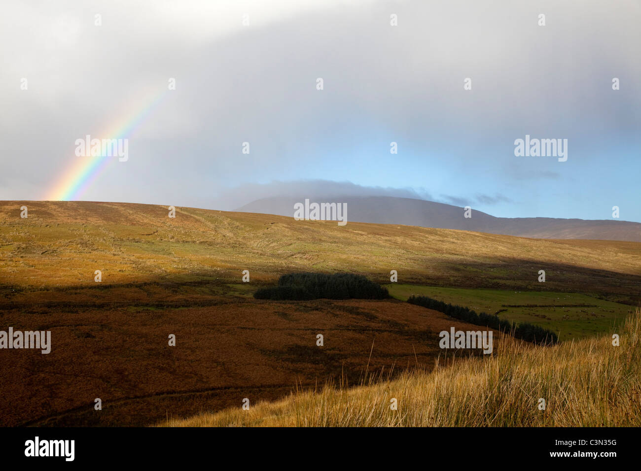 Regenbogen über Sawel Berg, Sperrin Mountains, Grafschaft Tyrone, Nordirland. Stockfotohttps://www.alamy.de/image-license-details/?v=1https://www.alamy.de/stockfoto-regenbogen-uber-sawel-berg-sperrin-mountains-grafschaft-tyrone-nordirland-36728204.html
RMC3N35G–Regenbogen über Sawel Berg, Sperrin Mountains, Grafschaft Tyrone, Nordirland.
 Connemara Lettergesh Strand Mweelrea Mountains im Hintergrund Grafschaft Galway westlich von Irland Stockfotohttps://www.alamy.de/image-license-details/?v=1https://www.alamy.de/stockfoto-connemara-lettergesh-strand-mweelrea-mountains-im-hintergrund-grafschaft-galway-westlich-von-irland-21101173.html
RMB696N9–Connemara Lettergesh Strand Mweelrea Mountains im Hintergrund Grafschaft Galway westlich von Irland
 Blick auf Achill Island, Irland Stockfotohttps://www.alamy.de/image-license-details/?v=1https://www.alamy.de/stockfoto-blick-auf-achill-island-irland-21302530.html
RFB6JBGJ–Blick auf Achill Island, Irland
 Mweelrea Berg von Renvyle Strand, Connemara, County Galway, Irland Stockfotohttps://www.alamy.de/image-license-details/?v=1https://www.alamy.de/stockfoto-mweelrea-berg-von-renvyle-strand-connemara-county-galway-irland-28620158.html
RMBJFN8E–Mweelrea Berg von Renvyle Strand, Connemara, County Galway, Irland
 Früh morgens am Lough Inagh, Connemara, Co. Galway, Irland, mit der Bergkette der Twelve Bens im Hintergrund Stockfotohttps://www.alamy.de/image-license-details/?v=1https://www.alamy.de/stockfoto-fruh-morgens-am-lough-inagh-connemara-co-galway-irland-mit-der-bergkette-der-twelve-bens-im-hintergrund-39548731.html
RMC89GPK–Früh morgens am Lough Inagh, Connemara, Co. Galway, Irland, mit der Bergkette der Twelve Bens im Hintergrund
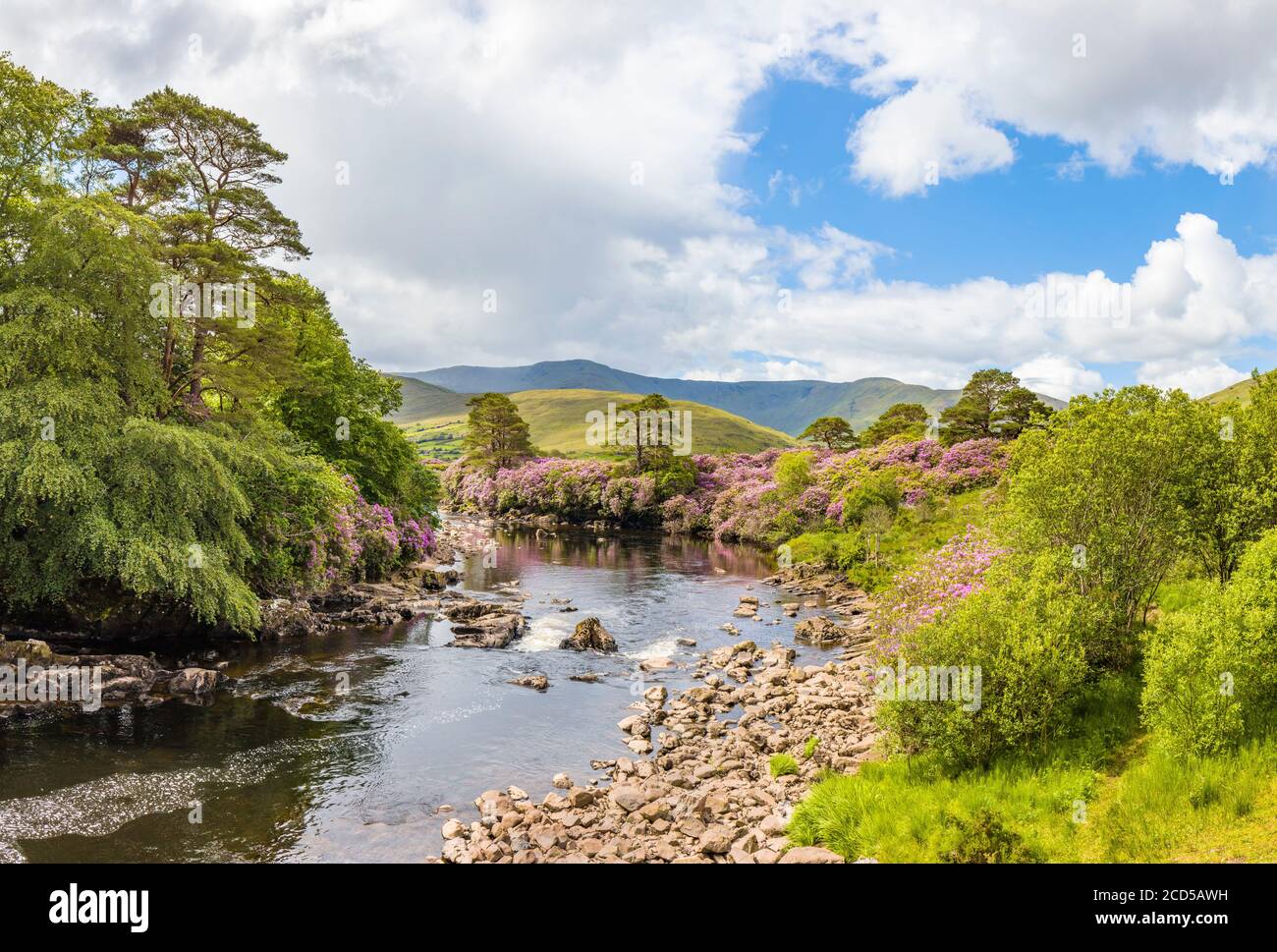 Berglandschaft mit Erriff River, County Mayo, Irland Stockfotohttps://www.alamy.de/image-license-details/?v=1https://www.alamy.de/berglandschaft-mit-erriff-river-county-mayo-irland-image369526573.html
RM2CD5AWH–Berglandschaft mit Erriff River, County Mayo, Irland
 Slievemore Mountain, Achill Island, County Mayo, Irland im Frühling Stockfotohttps://www.alamy.de/image-license-details/?v=1https://www.alamy.de/slievemore-mountain-achill-island-county-mayo-irland-im-fruhling-image469057709.html
RM2J73BW1–Slievemore Mountain, Achill Island, County Mayo, Irland im Frühling
 Alte Eisenbahnbrücke, Cahersiveen, Ring of Kerry, Irland Stockfotohttps://www.alamy.de/image-license-details/?v=1https://www.alamy.de/stockfoto-alte-eisenbahnbrucke-cahersiveen-ring-of-kerry-irland-105328517.html
RMG3A3GN–Alte Eisenbahnbrücke, Cahersiveen, Ring of Kerry, Irland
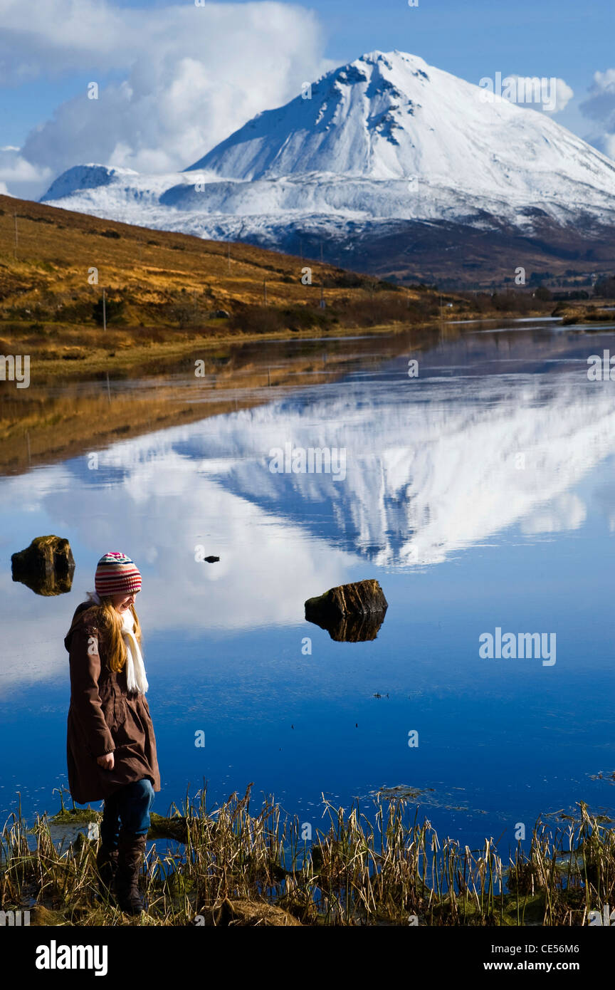 Errigal Mountain, Donegal, Irland Stockfotohttps://www.alamy.de/image-license-details/?v=1https://www.alamy.de/stockfoto-errigal-mountain-donegal-irland-43140950.html
RFCE56M6–Errigal Mountain, Donegal, Irland
 Die Menschen auf dem Gipfel des Spinc Bergrücken mit Blick auf die spektakuläre Glendalough Valley in Wicklow Naturpark in Irland. Dramatische Wolken. Stockfotohttps://www.alamy.de/image-license-details/?v=1https://www.alamy.de/die-menschen-auf-dem-gipfel-des-spinc-bergrucken-mit-blick-auf-die-spektakulare-glendalough-valley-in-wicklow-naturpark-in-irland-dramatische-wolken-image179675321.html
RFMC8WKN–Die Menschen auf dem Gipfel des Spinc Bergrücken mit Blick auf die spektakuläre Glendalough Valley in Wicklow Naturpark in Irland. Dramatische Wolken.
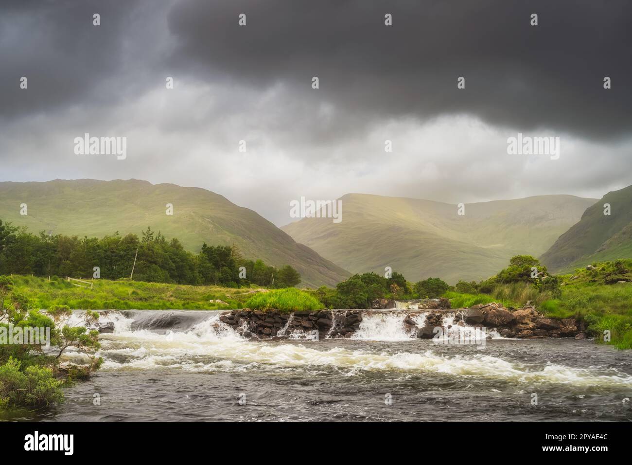 Bundoragha River mit kleinen Wasserfällen und Bergketten im Hintergrund, Irland Stockfotohttps://www.alamy.de/image-license-details/?v=1https://www.alamy.de/bundoragha-river-mit-kleinen-wasserfallen-und-bergketten-im-hintergrund-irland-image550347740.html
RF2PYAE4C–Bundoragha River mit kleinen Wasserfällen und Bergketten im Hintergrund, Irland
 Landschaft in Lake von Glendalough in Wicklow Mountain, Irland Stockfotohttps://www.alamy.de/image-license-details/?v=1https://www.alamy.de/stockfoto-landschaft-in-lake-von-glendalough-in-wicklow-mountain-irland-75447626.html
RFEAMX62–Landschaft in Lake von Glendalough in Wicklow Mountain, Irland
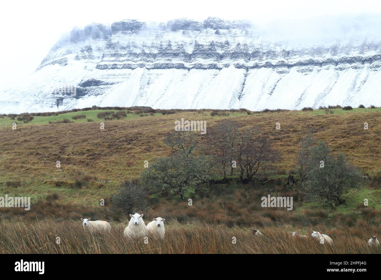 Schafe auf dem Ackerland am Fuße des schneebedeckten Benbulben-Berges, County Sligo, Irland Stockfotohttps://www.alamy.de/image-license-details/?v=1https://www.alamy.de/schafe-auf-dem-ackerland-am-fusse-des-schneebedeckten-benbulben-berges-county-sligo-irland-image461335520.html
RF2HPFJ4G–Schafe auf dem Ackerland am Fuße des schneebedeckten Benbulben-Berges, County Sligo, Irland
 Irland, County Galway, Connemara, Baum, See und Moor, Wackersberg Berg im Hintergrund Stockfotohttps://www.alamy.de/image-license-details/?v=1https://www.alamy.de/stockfoto-irland-county-galway-connemara-baum-see-und-moor-wackersberg-berg-im-hintergrund-172807703.html
RMM141YK–Irland, County Galway, Connemara, Baum, See und Moor, Wackersberg Berg im Hintergrund
 Der Promenade über dem Torf an Claggan Berg Coastal Trail, die in der Nähe der Ballycroy Nationalpark, County Mayo, Irland liegt bog Stockfotohttps://www.alamy.de/image-license-details/?v=1https://www.alamy.de/der-promenade-uber-dem-torf-an-claggan-berg-coastal-trail-die-in-der-nahe-der-ballycroy-nationalpark-county-mayo-irland-liegt-bog-image209853761.html
RMP5BJH5–Der Promenade über dem Torf an Claggan Berg Coastal Trail, die in der Nähe der Ballycroy Nationalpark, County Mayo, Irland liegt bog
 Brandon Mountain steigt über die Seen der Owenmore Tal bildet die spektakuläre Aussicht vom Gipfel der Connor Pass durch die Berge von Stockfotohttps://www.alamy.de/image-license-details/?v=1https://www.alamy.de/brandon-mountain-steigt-uber-die-seen-der-owenmore-tal-bildet-die-spektakulare-aussicht-vom-gipfel-der-connor-pass-durch-die-berge-von-image215652130.html
RFPERPDP–Brandon Mountain steigt über die Seen der Owenmore Tal bildet die spektakuläre Aussicht vom Gipfel der Connor Pass durch die Berge von
 Lurigethan Berg Glenariff Grafschaft Antrim Irland Stockfotohttps://www.alamy.de/image-license-details/?v=1https://www.alamy.de/stockfoto-lurigethan-berg-glenariff-grafschaft-antrim-irland-78198509.html
RMEF66YW–Lurigethan Berg Glenariff Grafschaft Antrim Irland
 Turloughmore Berg, Burren, County Clare, Irland, Europa Stockfotohttps://www.alamy.de/image-license-details/?v=1https://www.alamy.de/stockfoto-turloughmore-berg-burren-county-clare-irland-europa-34501061.html
RFC03JCN–Turloughmore Berg, Burren, County Clare, Irland, Europa
 Rotfuchs (Vulpes Vulpes) Gras auf dem Berg, Irland Stockfotohttps://www.alamy.de/image-license-details/?v=1https://www.alamy.de/stockfoto-rotfuchs-vulpes-vulpes-gras-auf-dem-berg-irland-30995358.html
RMBPBXW2–Rotfuchs (Vulpes Vulpes) Gras auf dem Berg, Irland
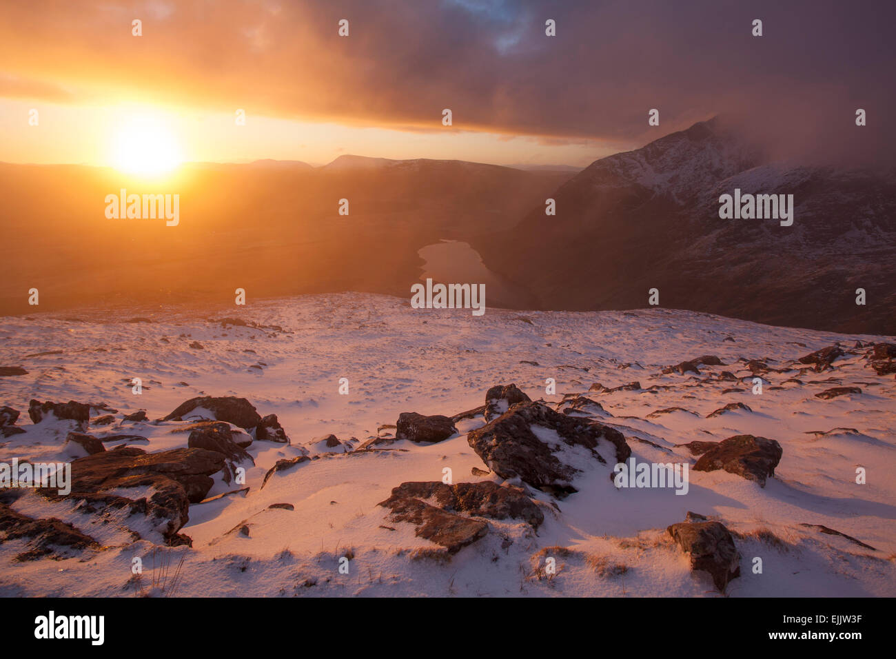 Winter-Sonnenaufgang von den Hängen des Brandon Mountain, Halbinsel Dingle, County Kerry, Irland. Stockfotohttps://www.alamy.de/image-license-details/?v=1https://www.alamy.de/stockfoto-winter-sonnenaufgang-von-den-hangen-des-brandon-mountain-halbinsel-dingle-county-kerry-irland-80320115.html
RMEJJW3F–Winter-Sonnenaufgang von den Hängen des Brandon Mountain, Halbinsel Dingle, County Kerry, Irland.
 Connemara Lettergesh Strand Mweelrea Mountains im Hintergrund Grafschaft Galway westlich von Irland Stockfotohttps://www.alamy.de/image-license-details/?v=1https://www.alamy.de/stockfoto-connemara-lettergesh-strand-mweelrea-mountains-im-hintergrund-grafschaft-galway-westlich-von-irland-21102647.html
RMB698HY–Connemara Lettergesh Strand Mweelrea Mountains im Hintergrund Grafschaft Galway westlich von Irland
 Malerische Einfahrt im Connemara-Nationalpark mit Blick vom Diamond Mountain Ireland Stockfotohttps://www.alamy.de/image-license-details/?v=1https://www.alamy.de/malerische-einfahrt-im-connemara-nationalpark-mit-blick-vom-diamond-mountain-ireland-image560409977.html
RF2RFMTJ1–Malerische Einfahrt im Connemara-Nationalpark mit Blick vom Diamond Mountain Ireland
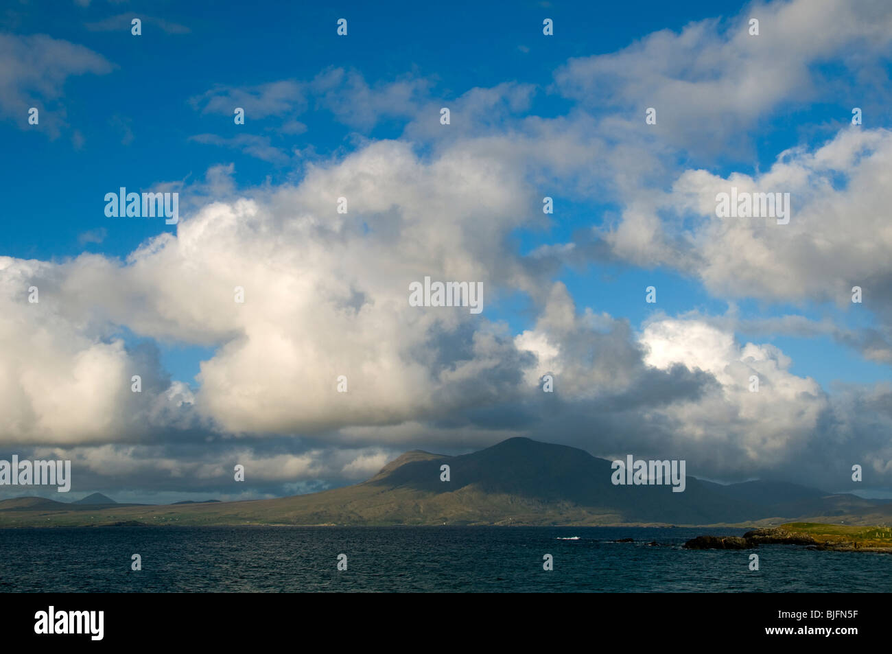 Cumulus-Wolken über Mweelrea Berg von Renvyle Strand, Connemara, County Galway, Irland Stockfotohttps://www.alamy.de/image-license-details/?v=1https://www.alamy.de/stockfoto-cumulus-wolken-uber-mweelrea-berg-von-renvyle-strand-connemara-county-galway-irland-28620075.html
RMBJFN5F–Cumulus-Wolken über Mweelrea Berg von Renvyle Strand, Connemara, County Galway, Irland
 Früh morgens am Lough Inagh, Connemara, Co. Galway, Irland, mit der Bergkette der Twelve Bens im Hintergrund Stockfotohttps://www.alamy.de/image-license-details/?v=1https://www.alamy.de/stockfoto-fruh-morgens-am-lough-inagh-connemara-co-galway-irland-mit-der-bergkette-der-twelve-bens-im-hintergrund-39548640.html
RMC89GKC–Früh morgens am Lough Inagh, Connemara, Co. Galway, Irland, mit der Bergkette der Twelve Bens im Hintergrund
 Blick auf die Cliffs of Moher in Irland Stockfotohttps://www.alamy.de/image-license-details/?v=1https://www.alamy.de/blick-auf-die-cliffs-of-moher-in-irland-image261148530.html
RFW4T9H6–Blick auf die Cliffs of Moher in Irland
 Campingplatz in Strandhill im County Sligo mit Berg Knocknaree in der Ferne, Irland Stockfotohttps://www.alamy.de/image-license-details/?v=1https://www.alamy.de/stockfoto-campingplatz-in-strandhill-im-county-sligo-mit-berg-knocknaree-in-der-ferne-irland-17744325.html
RMB0T91W–Campingplatz in Strandhill im County Sligo mit Berg Knocknaree in der Ferne, Irland
 Errigal Mountain in der Grafschaft Donegal, Irland Stockfotohttps://www.alamy.de/image-license-details/?v=1https://www.alamy.de/errigal-mountain-in-der-grafschaft-donegal-irland-image312313039.html
RFS432D3–Errigal Mountain in der Grafschaft Donegal, Irland
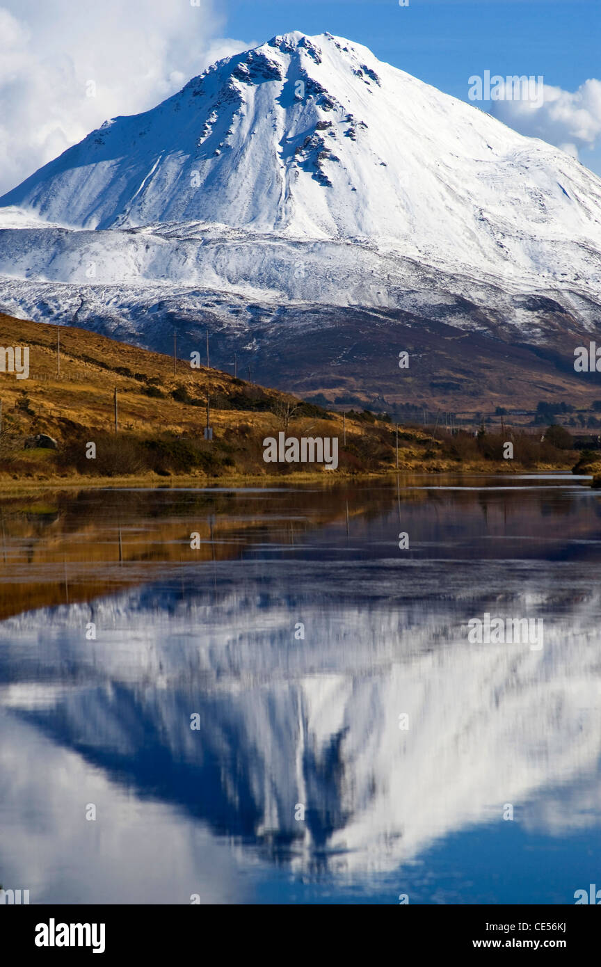 Errigal Mountain, Donegal, Irland Stockfotohttps://www.alamy.de/image-license-details/?v=1https://www.alamy.de/stockfoto-errigal-mountain-donegal-irland-43140934.html
RFCE56KJ–Errigal Mountain, Donegal, Irland
 Kreuz und Cairn an der Spitze des Muckish Berges, Creeslough in der Nähe von Dunfanaghy, Donegal, Irland Stockfotohttps://www.alamy.de/image-license-details/?v=1https://www.alamy.de/stockfoto-kreuz-und-cairn-an-der-spitze-des-muckish-berges-creeslough-in-der-nahe-von-dunfanaghy-donegal-irland-16116180.html
RMARRKDW–Kreuz und Cairn an der Spitze des Muckish Berges, Creeslough in der Nähe von Dunfanaghy, Donegal, Irland
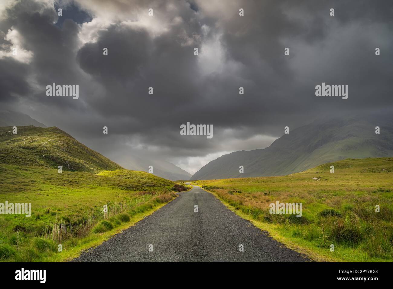 Straße, die durch das Doolough Valley führt, zwischen Bergketten, Irland Stockfotohttps://www.alamy.de/image-license-details/?v=1https://www.alamy.de/strasse-die-durch-das-doolough-valley-fuhrt-zwischen-bergketten-irland-image550289267.html
RF2PY7RG3–Straße, die durch das Doolough Valley führt, zwischen Bergketten, Irland
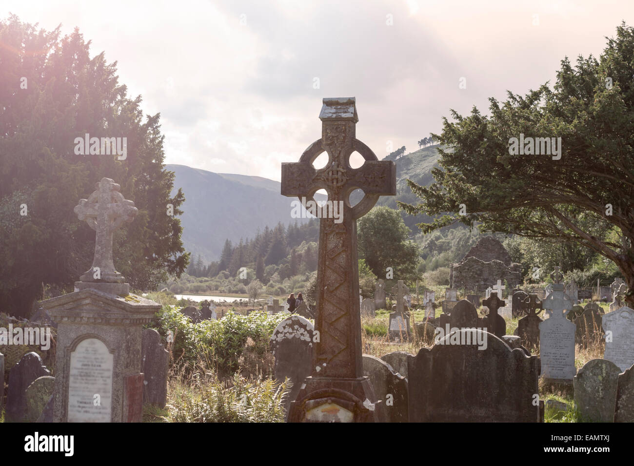 Alte keltische Kreuz auf dem Friedhof Glendalough s. Wicklow Mountain, Irland Stockfotohttps://www.alamy.de/image-license-details/?v=1https://www.alamy.de/stockfoto-alte-keltische-kreuz-auf-dem-friedhof-glendalough-s-wicklow-mountain-irland-75446634.html
RFEAMTXJ–Alte keltische Kreuz auf dem Friedhof Glendalough s. Wicklow Mountain, Irland
 Landschaft der Grafschaft Sligo, Irland, mit dem Benwiskin Mountain vor dem Hintergrund des blauen Himmels mit Rhododendron-Blumen im Vordergrund Stockfotohttps://www.alamy.de/image-license-details/?v=1https://www.alamy.de/landschaft-der-grafschaft-sligo-irland-mit-dem-benwiskin-mountain-vor-dem-hintergrund-des-blauen-himmels-mit-rhododendron-blumen-im-vordergrund-image554658904.html
RF2R6AW2G–Landschaft der Grafschaft Sligo, Irland, mit dem Benwiskin Mountain vor dem Hintergrund des blauen Himmels mit Rhododendron-Blumen im Vordergrund
 Irland Galway Grafschaft Connemara National Park Motorradfahrer auf der Straße und Berg silhouette Twelve Bens im Hintergrund Stockfotohttps://www.alamy.de/image-license-details/?v=1https://www.alamy.de/stockfoto-irland-galway-grafschaft-connemara-national-park-motorradfahrer-auf-der-strasse-und-berg-silhouette-twelve-bens-im-hintergrund-70372011.html
RME2DM63–Irland Galway Grafschaft Connemara National Park Motorradfahrer auf der Straße und Berg silhouette Twelve Bens im Hintergrund
 Die Dartry-Bergkette verläuft zwischen Sligo und Leitrim in Irland und ist ein beliebter Ort für Wanderer Stockfotohttps://www.alamy.de/image-license-details/?v=1https://www.alamy.de/die-dartry-bergkette-verlauft-zwischen-sligo-und-leitrim-in-irland-und-ist-ein-beliebter-ort-fur-wanderer-image617546473.html
RF2XTKJR5–Die Dartry-Bergkette verläuft zwischen Sligo und Leitrim in Irland und ist ein beliebter Ort für Wanderer
 Brandon Mountain steigt über die Seen der Owenmore Tal bildet die spektakuläre Aussicht vom Gipfel der Connor Pass durch die Berge von Stockfotohttps://www.alamy.de/image-license-details/?v=1https://www.alamy.de/brandon-mountain-steigt-uber-die-seen-der-owenmore-tal-bildet-die-spektakulare-aussicht-vom-gipfel-der-connor-pass-durch-die-berge-von-image215652135.html
RFPERPDY–Brandon Mountain steigt über die Seen der Owenmore Tal bildet die spektakuläre Aussicht vom Gipfel der Connor Pass durch die Berge von
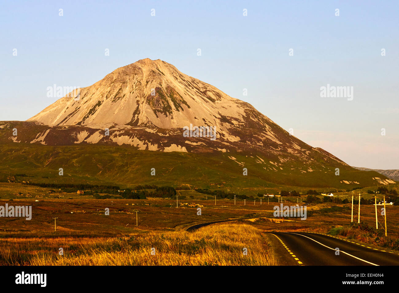 Sonnenuntergang über der Straße durch Donegal vorbei Errigal Mountain in County Donegal Ireland Stockfotohttps://www.alamy.de/image-license-details/?v=1https://www.alamy.de/stockfoto-sonnenuntergang-uber-der-strasse-durch-donegal-vorbei-errigal-mountain-in-county-donegal-ireland-77820432.html
RMEEH0N4–Sonnenuntergang über der Straße durch Donegal vorbei Errigal Mountain in County Donegal Ireland
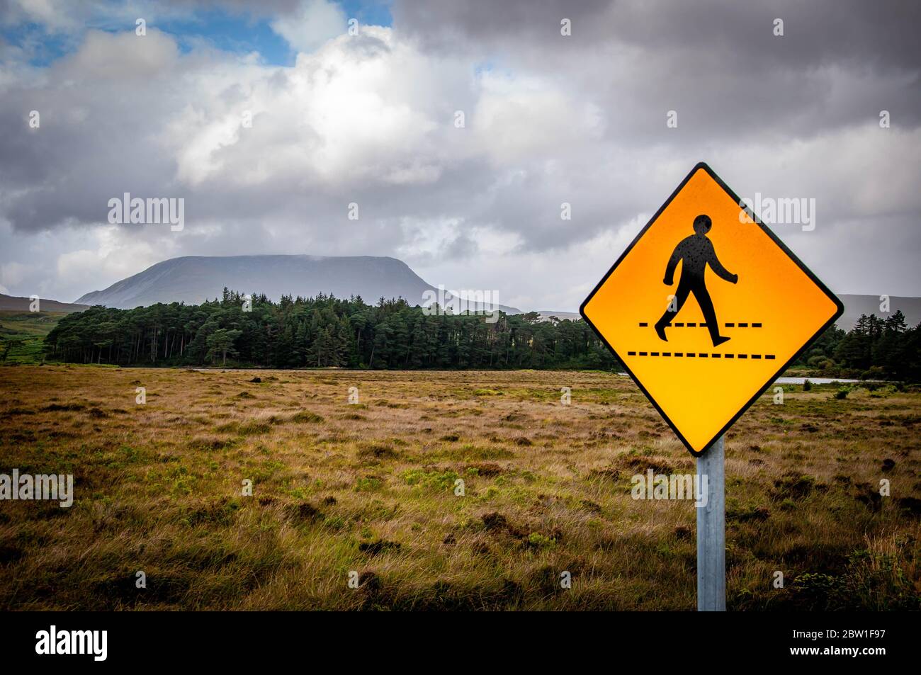 Irish Fußgängerüberweg Straßenschild in der Mitte der Wildnis neben flachen Gipfel Muckish Mountain in der Derryveagh Range, County Donegal, Irland Stockfotohttps://www.alamy.de/image-license-details/?v=1https://www.alamy.de/irish-fussgangeruberweg-strassenschild-in-der-mitte-der-wildnis-neben-flachen-gipfel-muckish-mountain-in-der-derryveagh-range-county-donegal-irland-image359607731.html
RF2BW1F97–Irish Fußgängerüberweg Straßenschild in der Mitte der Wildnis neben flachen Gipfel Muckish Mountain in der Derryveagh Range, County Donegal, Irland
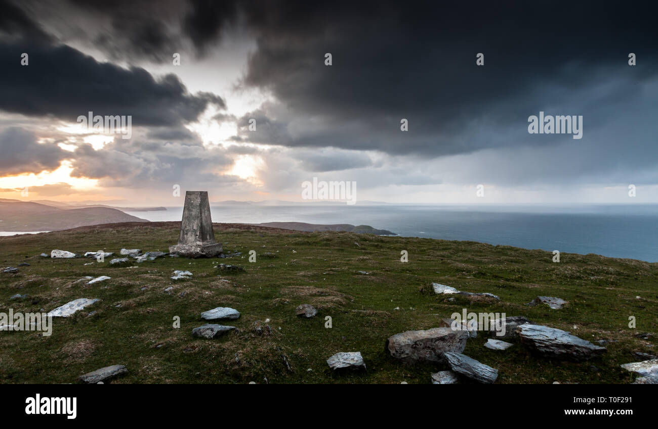 Dursey Island, Cork, Irland. 29. April 2015. Der höchste Punkt der Insel ist cnoc Mór (großer Berg) und ist in der Gemeinde von Tilickafinna auf Stockfotohttps://www.alamy.de/image-license-details/?v=1https://www.alamy.de/dursey-island-cork-irland-29-april-2015-der-hochste-punkt-der-insel-ist-cnoc-mr-grosser-berg-und-ist-in-der-gemeinde-von-tilickafinna-auf-image241276253.html
RMT0F291–Dursey Island, Cork, Irland. 29. April 2015. Der höchste Punkt der Insel ist cnoc Mór (großer Berg) und ist in der Gemeinde von Tilickafinna auf
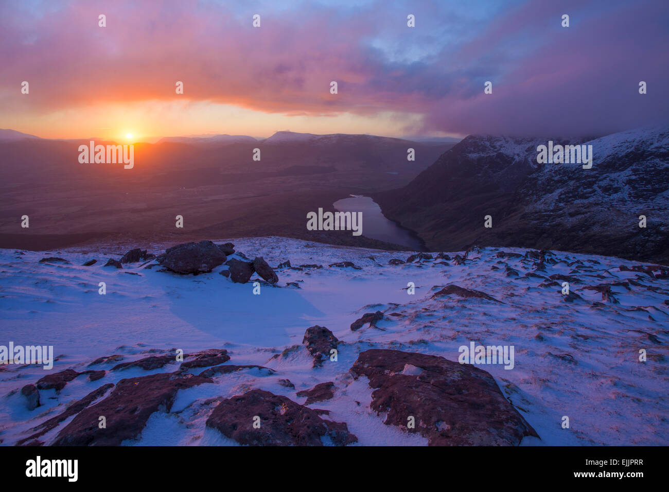 Winter-Sonnenaufgang von den Hängen des Brandon Mountain, Halbinsel Dingle, County Kerry, Irland. Stockfotohttps://www.alamy.de/image-license-details/?v=1https://www.alamy.de/stockfoto-winter-sonnenaufgang-von-den-hangen-des-brandon-mountain-halbinsel-dingle-county-kerry-irland-80318331.html
RMEJJPRR–Winter-Sonnenaufgang von den Hängen des Brandon Mountain, Halbinsel Dingle, County Kerry, Irland.
 Connemara Lettergesh Strand Mweelrea Mountains im Hintergrund Grafschaft Galway westlich von Irland Stockfotohttps://www.alamy.de/image-license-details/?v=1https://www.alamy.de/stockfoto-connemara-lettergesh-strand-mweelrea-mountains-im-hintergrund-grafschaft-galway-westlich-von-irland-21102658.html
RMB698JA–Connemara Lettergesh Strand Mweelrea Mountains im Hintergrund Grafschaft Galway westlich von Irland
 Malerische Einfahrt im Connemara-Nationalpark mit Blick vom Diamond Mountain Ireland Stockfotohttps://www.alamy.de/image-license-details/?v=1https://www.alamy.de/malerische-einfahrt-im-connemara-nationalpark-mit-blick-vom-diamond-mountain-ireland-image560409975.html
RF2RFMTHY–Malerische Einfahrt im Connemara-Nationalpark mit Blick vom Diamond Mountain Ireland
 Cumulus-Wolken über Mweelrea Berg von Renvyle Strand, Connemara, County Galway, Irland Stockfotohttps://www.alamy.de/image-license-details/?v=1https://www.alamy.de/stockfoto-cumulus-wolken-uber-mweelrea-berg-von-renvyle-strand-connemara-county-galway-irland-28619948.html
RMBJFN10–Cumulus-Wolken über Mweelrea Berg von Renvyle Strand, Connemara, County Galway, Irland
 Früh morgens am Lough Inagh, Connemara, Co. Galway, Irland, mit der Bergkette der Twelve Bens im Hintergrund Stockfotohttps://www.alamy.de/image-license-details/?v=1https://www.alamy.de/stockfoto-fruh-morgens-am-lough-inagh-connemara-co-galway-irland-mit-der-bergkette-der-twelve-bens-im-hintergrund-39548759.html
RMC89GRK–Früh morgens am Lough Inagh, Connemara, Co. Galway, Irland, mit der Bergkette der Twelve Bens im Hintergrund
 Irland, County Mayo, Murrisk, Blick auf den heiligen Berg Croagh Patrick mit nationalen Hunger Monument Stockfotohttps://www.alamy.de/image-license-details/?v=1https://www.alamy.de/irland-county-mayo-murrisk-blick-auf-den-heiligen-berg-croagh-patrick-mit-nationalen-hunger-monument-image259650653.html
RMW2C31H–Irland, County Mayo, Murrisk, Blick auf den heiligen Berg Croagh Patrick mit nationalen Hunger Monument
 Landstraße in den Knockmealdown Bergen, in der Nähe von Mount Melleray, Grafschaft Waterford, Irland Stockfotohttps://www.alamy.de/image-license-details/?v=1https://www.alamy.de/stockfoto-landstrasse-in-den-knockmealdown-bergen-in-der-nahe-von-mount-melleray-grafschaft-waterford-irland-18871095.html
RMB2KJ7K–Landstraße in den Knockmealdown Bergen, in der Nähe von Mount Melleray, Grafschaft Waterford, Irland
 Irland Wandern Gruppe von Wanderern Backpackern Touristen Familienwandern auf einem Fußweg entlang des Torc Mountain Trail. Co. Kerry, Irland Stockfotohttps://www.alamy.de/image-license-details/?v=1https://www.alamy.de/irland-wandern-gruppe-von-wanderern-backpackern-touristen-familienwandern-auf-einem-fussweg-entlang-des-torc-mountain-trail-co-kerry-irland-image233772583.html
RMRG978R–Irland Wandern Gruppe von Wanderern Backpackern Touristen Familienwandern auf einem Fußweg entlang des Torc Mountain Trail. Co. Kerry, Irland
 Muckish Berg Downings Strand Co Donegal, Irland Stockfotohttps://www.alamy.de/image-license-details/?v=1https://www.alamy.de/stockfoto-muckish-berg-downings-strand-co-donegal-irland-18304306.html
RFB1NR96–Muckish Berg Downings Strand Co Donegal, Irland
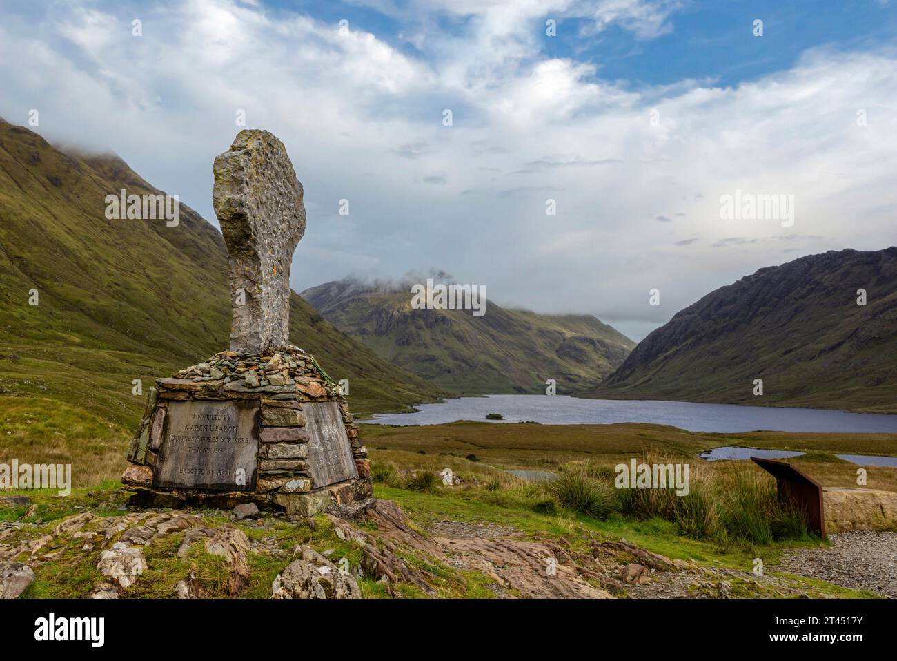 Doo Lough ist ein See im Connemara-Nationalpark im County Galway, Irland. Er ist einer der vielen Seen der Twelve Bens. Stockfotohttps://www.alamy.de/image-license-details/?v=1https://www.alamy.de/doo-lough-ist-ein-see-im-connemara-nationalpark-im-county-galway-irland-er-ist-einer-der-vielen-seen-der-twelve-bens-image570511535.html
RF2T4517Y–Doo Lough ist ein See im Connemara-Nationalpark im County Galway, Irland. Er ist einer der vielen Seen der Twelve Bens.
 Die Straße führt durch das Doolough-Tal mit Seen, zwischen Bergketten, Irland Stockfotohttps://www.alamy.de/image-license-details/?v=1https://www.alamy.de/die-strasse-fuhrt-durch-das-doolough-tal-mit-seen-zwischen-bergketten-irland-image550289271.html
RF2PY7RG7–Die Straße führt durch das Doolough-Tal mit Seen, zwischen Bergketten, Irland
 Alte keltische Kreuz auf dem Friedhof Glendalough s. Wicklow Mountain, Irland Stockfotohttps://www.alamy.de/image-license-details/?v=1https://www.alamy.de/stockfoto-alte-keltische-kreuz-auf-dem-friedhof-glendalough-s-wicklow-mountain-irland-75446623.html
RFEAMTX7–Alte keltische Kreuz auf dem Friedhof Glendalough s. Wicklow Mountain, Irland
 Tully Berg aus dem Nationalpark Connemara, County Galway, Irland Stockfotohttps://www.alamy.de/image-license-details/?v=1https://www.alamy.de/tully-berg-aus-dem-nationalpark-connemara-county-galway-irland-image384291280.html
RF2D95YCG–Tully Berg aus dem Nationalpark Connemara, County Galway, Irland
 Irland, im County Galway, Tully, Tully See, links ist Berg Croagh Patrick im Hintergrund, inmitten von Killary Harbour Förde und Mweelrea Berge, rechts ist Connemara National Park, Twelve Bens Berge Stockfotohttps://www.alamy.de/image-license-details/?v=1https://www.alamy.de/stockfoto-irland-im-county-galway-tully-tully-see-links-ist-berg-croagh-patrick-im-hintergrund-inmitten-von-killary-harbour-forde-und-mweelrea-berge-rechts-ist-connemara-national-park-twelve-bens-berge-172807659.html
RMM141X3–Irland, im County Galway, Tully, Tully See, links ist Berg Croagh Patrick im Hintergrund, inmitten von Killary Harbour Förde und Mweelrea Berge, rechts ist Connemara National Park, Twelve Bens Berge
 Blick auf den Nordwesten vom Diamond Hill über dem Connemara National Park Visitor Centre in Richtung Tully Mountain, Co. Galway, Irland. Frau, die Hund auf dem Weg ist Stockfotohttps://www.alamy.de/image-license-details/?v=1https://www.alamy.de/blick-auf-den-nordwesten-vom-diamond-hill-uber-dem-connemara-national-park-visitor-centre-in-richtung-tully-mountain-co-galway-irland-frau-die-hund-auf-dem-weg-ist-image618243710.html
RM2XWRC4E–Blick auf den Nordwesten vom Diamond Hill über dem Connemara National Park Visitor Centre in Richtung Tully Mountain, Co. Galway, Irland. Frau, die Hund auf dem Weg ist
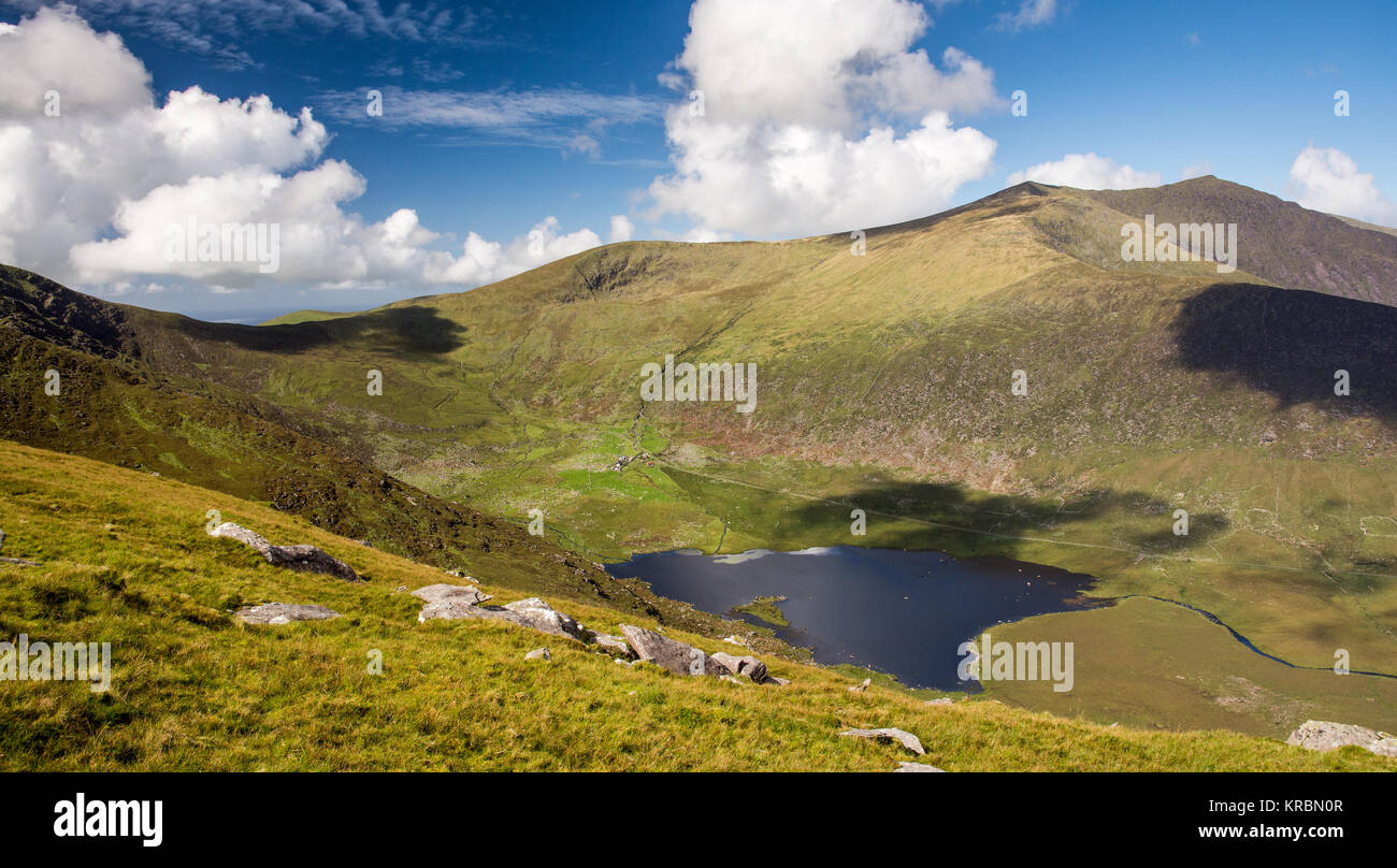 Brandon Mountain steigt über die Seen der Owenmore Tal bildet die spektakuläre Aussicht vom Gipfel der Connor Pass durch die Berge von Stockfotohttps://www.alamy.de/image-license-details/?v=1https://www.alamy.de/stockfoto-brandon-mountain-steigt-uber-die-seen-der-owenmore-tal-bildet-die-spektakulare-aussicht-vom-gipfel-der-connor-pass-durch-die-berge-von-169288359.html
RFKRBN0R–Brandon Mountain steigt über die Seen der Owenmore Tal bildet die spektakuläre Aussicht vom Gipfel der Connor Pass durch die Berge von
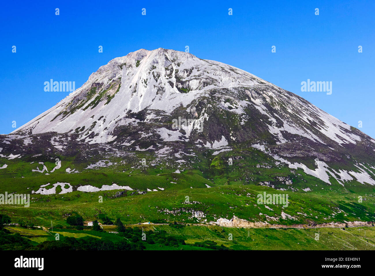 Errigal Mountain in County Donegal Ireland Stockfotohttps://www.alamy.de/image-license-details/?v=1https://www.alamy.de/stockfoto-errigal-mountain-in-county-donegal-ireland-77820429.html
RMEEH0N1–Errigal Mountain in County Donegal Ireland
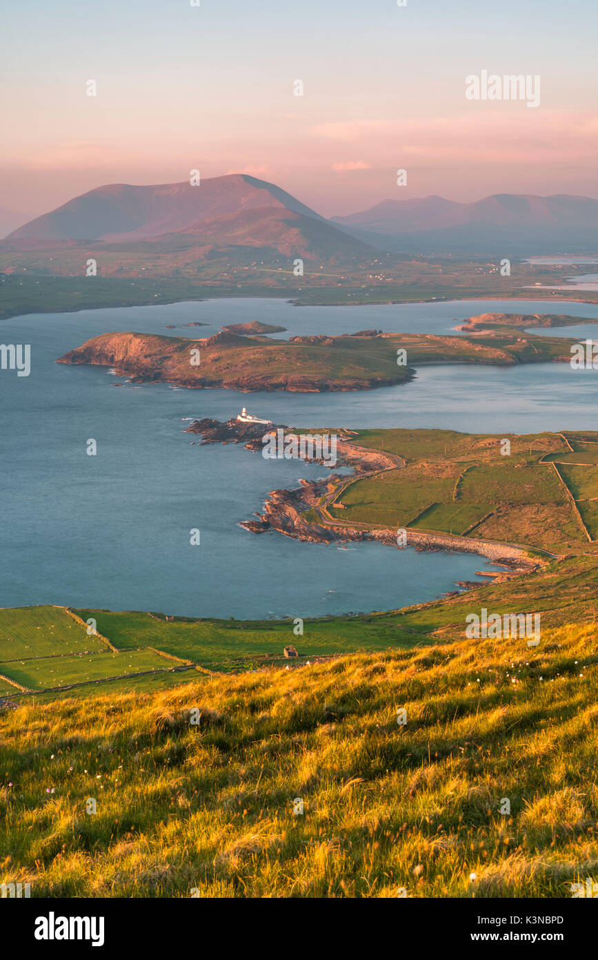 Valentia Island (Oilean Dairbhre), County Kerry, Provinz Munster, Irland, Europa. Blick vom Berg und Geokaun Fogher Klippen bei Sonnenuntergang. Stockfotohttps://www.alamy.de/image-license-details/?v=1https://www.alamy.de/valentia-island-oilean-dairbhre-county-kerry-provinz-munster-irland-europa-blick-vom-berg-und-geokaun-fogher-klippen-bei-sonnenuntergang-image157207525.html
RFK3NBPD–Valentia Island (Oilean Dairbhre), County Kerry, Provinz Munster, Irland, Europa. Blick vom Berg und Geokaun Fogher Klippen bei Sonnenuntergang.
