Stockfotos & Bilder
(4,891)Stockfotos & Bilder
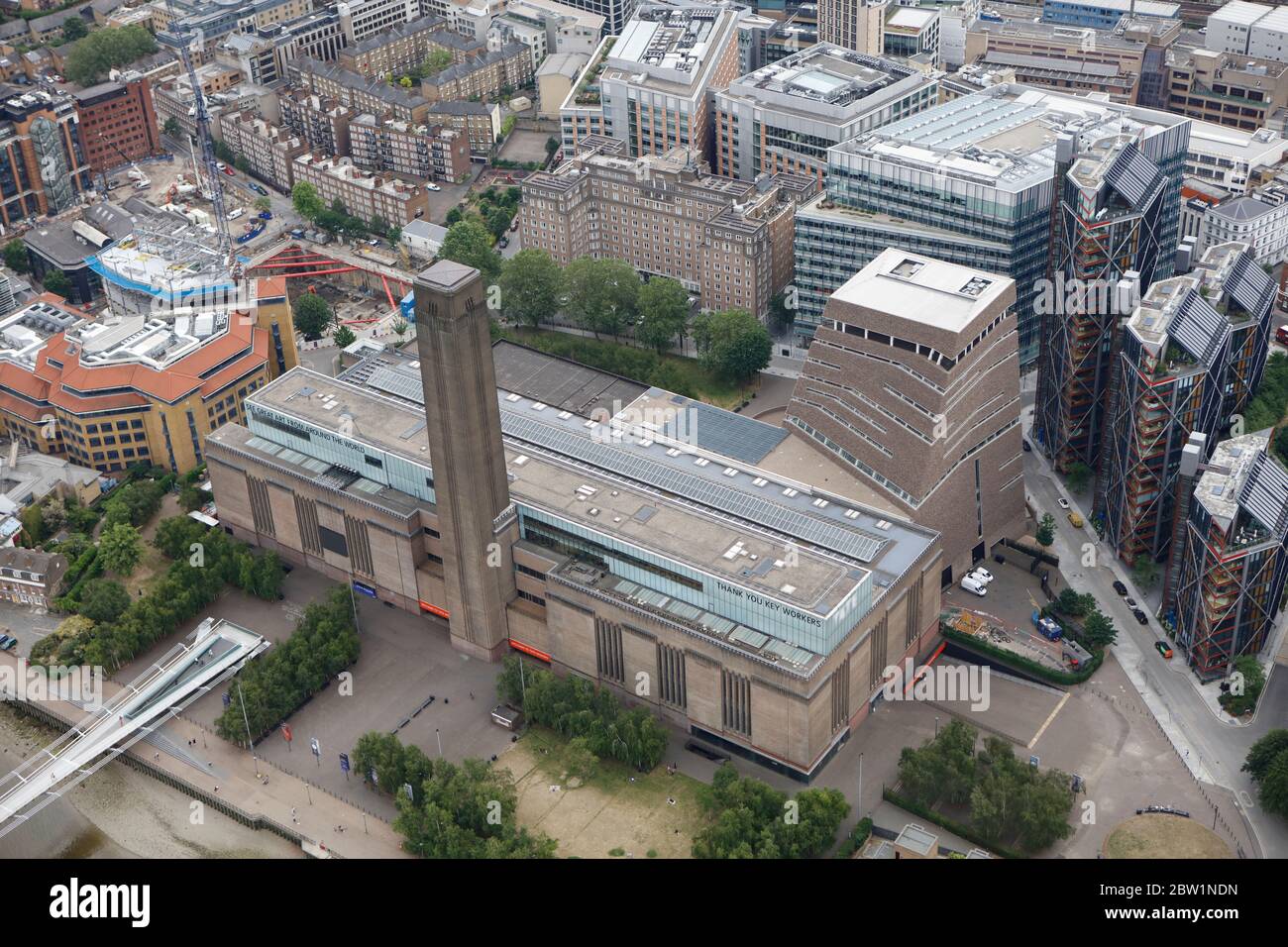 Luftaufnahme der Tate Modern International Gallery, London, Großbritannien Stockfotohttps://www.alamy.de/image-license-details/?v=1https://www.alamy.de/luftaufnahme-der-tate-modern-international-gallery-london-grossbritannien-image359612561.html
RM2BW1NDN–Luftaufnahme der Tate Modern International Gallery, London, Großbritannien
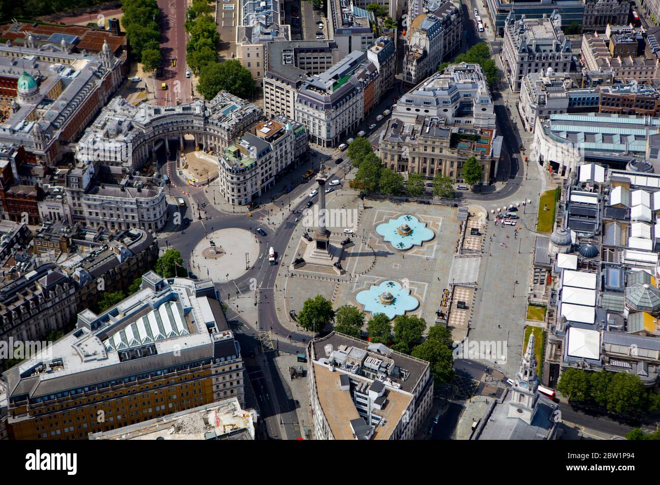 Luftaufnahme des Trafalgar Square, London, Großbritannien Stockfotohttps://www.alamy.de/image-license-details/?v=1https://www.alamy.de/luftaufnahme-des-trafalgar-square-london-grossbritannien-image359613216.html
RM2BW1P94–Luftaufnahme des Trafalgar Square, London, Großbritannien
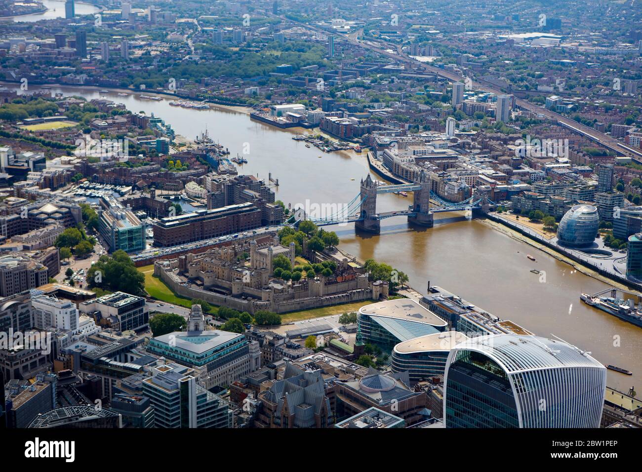 Luftaufnahme über London mit Tower of London und Tower Bridge Stockfotohttps://www.alamy.de/image-license-details/?v=1https://www.alamy.de/luftaufnahme-uber-london-mit-tower-of-london-und-tower-bridge-image359613374.html
RM2BW1PEP–Luftaufnahme über London mit Tower of London und Tower Bridge
 Luftaufnahme des Parlaments und Westminster, London, Großbritannien Stockfotohttps://www.alamy.de/image-license-details/?v=1https://www.alamy.de/luftaufnahme-des-parlaments-und-westminster-london-grossbritannien-image359613041.html
RM2BW1P2W–Luftaufnahme des Parlaments und Westminster, London, Großbritannien
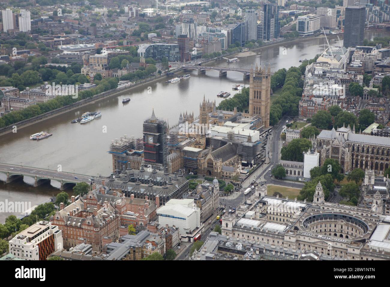 Luftaufnahme des Parlaments und Westminster, London, Großbritannien Stockfotohttps://www.alamy.de/image-license-details/?v=1https://www.alamy.de/luftaufnahme-des-parlaments-und-westminster-london-grossbritannien-image359612869.html
RM2BW1NTN–Luftaufnahme des Parlaments und Westminster, London, Großbritannien
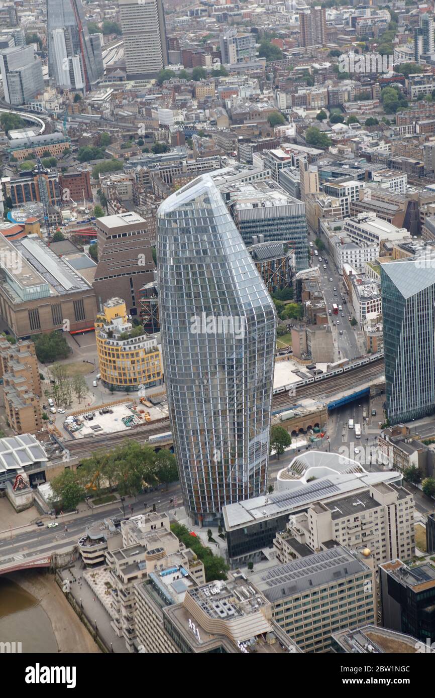 Luftaufnahme St George: One Blackfrairs aka The Schwangere Building, London, Großbritannien Stockfotohttps://www.alamy.de/image-license-details/?v=1https://www.alamy.de/luftaufnahme-st-george-one-blackfrairs-aka-the-schwangere-building-london-grossbritannien-image359612636.html
RM2BW1NGC–Luftaufnahme St George: One Blackfrairs aka The Schwangere Building, London, Großbritannien
 Luftaufnahme des London Eye und der Jubilee Gardens, London, Großbritannien Stockfotohttps://www.alamy.de/image-license-details/?v=1https://www.alamy.de/luftaufnahme-des-london-eye-und-der-jubilee-gardens-london-grossbritannien-image359612741.html
RM2BW1NM5–Luftaufnahme des London Eye und der Jubilee Gardens, London, Großbritannien
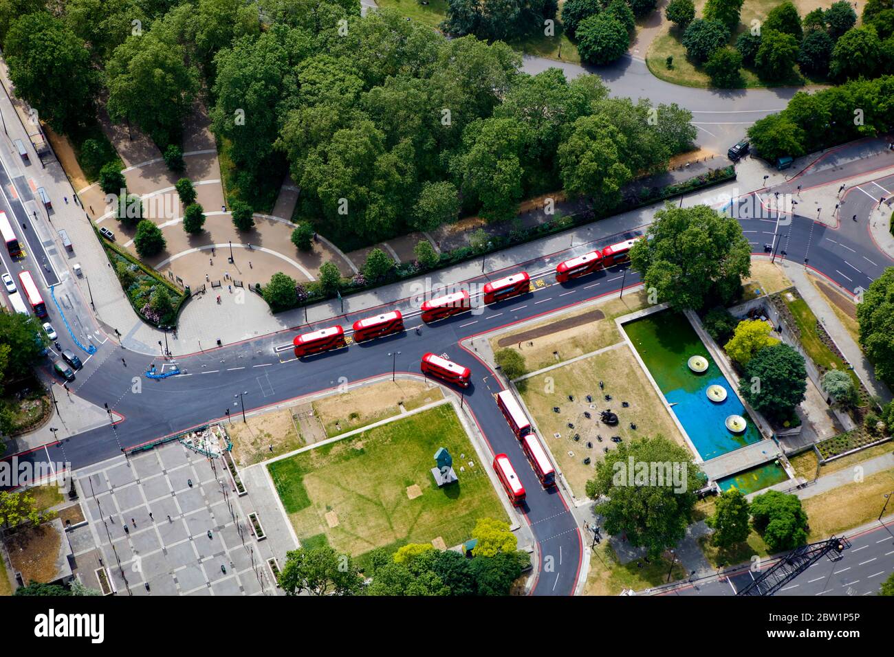 Luftaufnahme von Hyde Park Corner, London, Großbritannien Stockfotohttps://www.alamy.de/image-license-details/?v=1https://www.alamy.de/luftaufnahme-von-hyde-park-corner-london-grossbritannien-image359613122.html
RM2BW1P5P–Luftaufnahme von Hyde Park Corner, London, Großbritannien
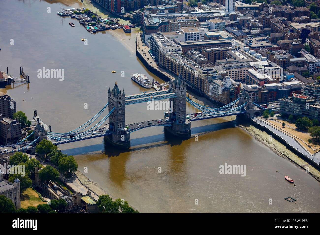 Luftaufnahme der Tower Bridge in London, Großbritannien Stockfotohttps://www.alamy.de/image-license-details/?v=1https://www.alamy.de/luftaufnahme-der-tower-bridge-in-london-grossbritannien-image359613360.html
RM2BW1PE8–Luftaufnahme der Tower Bridge in London, Großbritannien
 Luftaufnahme des Finanzdistrikts, London, Großbritannien Stockfotohttps://www.alamy.de/image-license-details/?v=1https://www.alamy.de/luftaufnahme-des-finanzdistrikts-london-grossbritannien-image359612499.html
RM2BW1NBF–Luftaufnahme des Finanzdistrikts, London, Großbritannien
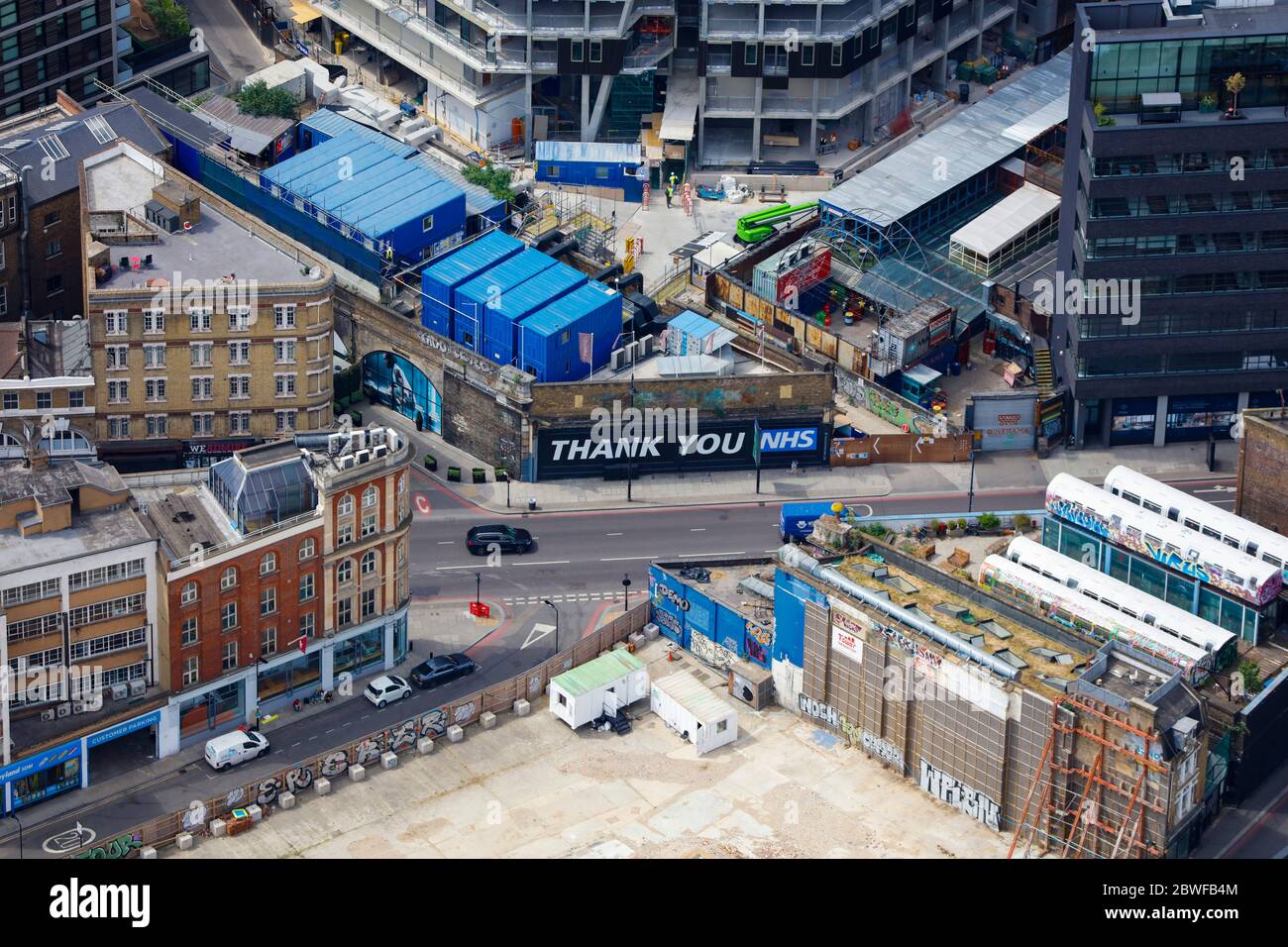 Luftaufnahme einer Londoner Baustelle mit dem Schild „Thank You NHS“ Stockfotohttps://www.alamy.de/image-license-details/?v=1https://www.alamy.de/luftaufnahme-einer-londoner-baustelle-mit-dem-schild-thank-you-nhs-image359911796.html
RM2BWFB4M–Luftaufnahme einer Londoner Baustelle mit dem Schild „Thank You NHS“
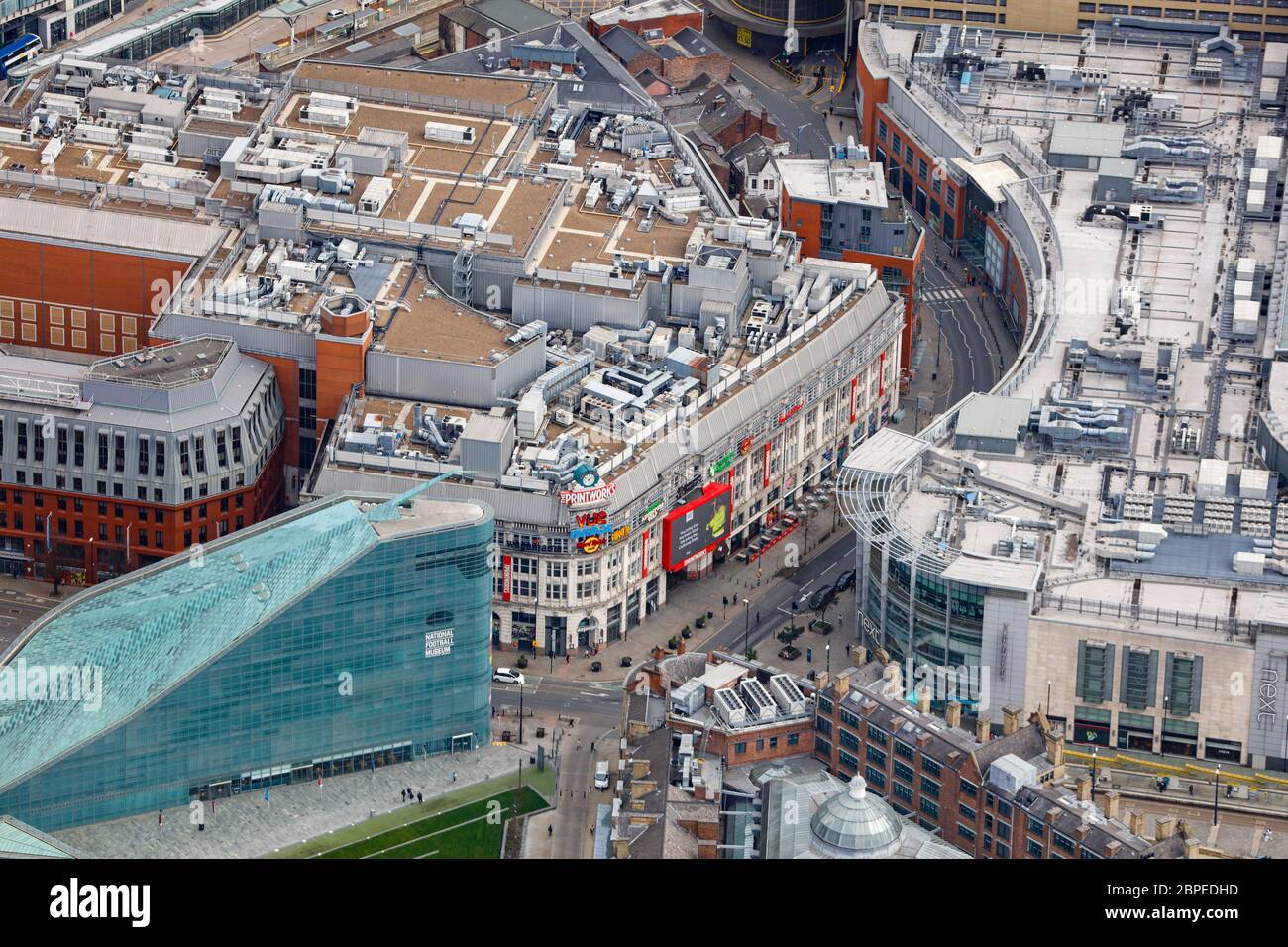 Manchester Printworks & National Football Museum Stockfotohttps://www.alamy.de/image-license-details/?v=1https://www.alamy.de/manchester-printworks-national-football-museum-image358047801.html
RM2BPEDHD–Manchester Printworks & National Football Museum
 Luftaufnahme der Schäden der Windenergieanlage in der Nähe der A689 Road Stockfotohttps://www.alamy.de/image-license-details/?v=1https://www.alamy.de/luftaufnahme-der-schaden-der-windenergieanlage-in-der-nahe-der-a689-road-image358100202.html
RM2BPGTCX–Luftaufnahme der Schäden der Windenergieanlage in der Nähe der A689 Road
 Luftaufnahme der Schäden der Windenergieanlage in der Nähe der A689 Road Stockfotohttps://www.alamy.de/image-license-details/?v=1https://www.alamy.de/luftaufnahme-der-schaden-der-windenergieanlage-in-der-nahe-der-a689-road-image358100714.html
RM2BPGW36–Luftaufnahme der Schäden der Windenergieanlage in der Nähe der A689 Road
 Luftaufnahme des Sutton Common BT Tower im Schnee Stockfotohttps://www.alamy.de/image-license-details/?v=1https://www.alamy.de/luftaufnahme-des-sutton-common-bt-tower-im-schnee-image358101826.html
RM2BPGXEX–Luftaufnahme des Sutton Common BT Tower im Schnee
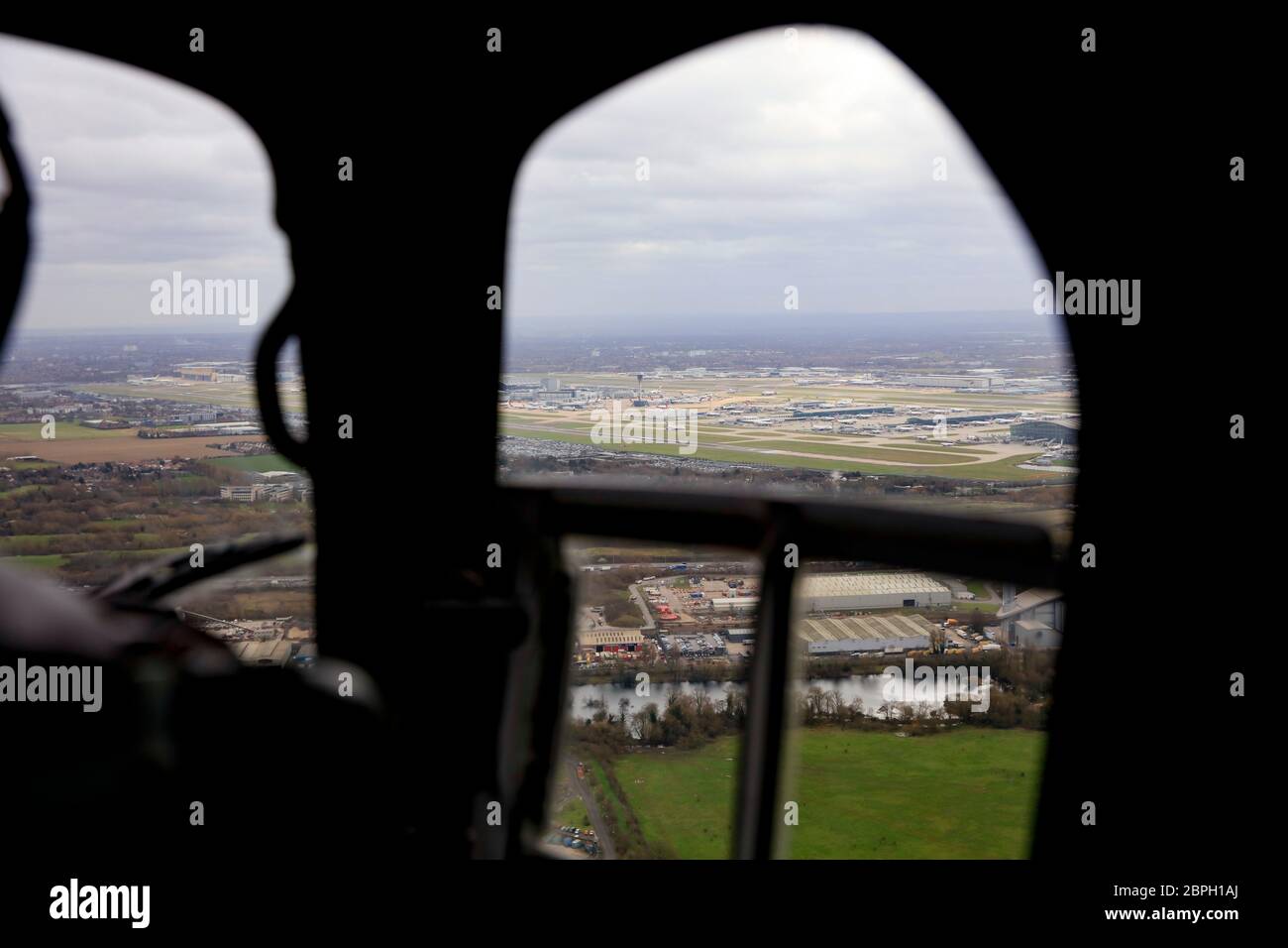 Blick in den Hubschrauber mit Blick auf den Flughafen Heathrow Stockfotohttps://www.alamy.de/image-license-details/?v=1https://www.alamy.de/blick-in-den-hubschrauber-mit-blick-auf-den-flughafen-heathrow-image358104058.html
RM2BPH1AJ–Blick in den Hubschrauber mit Blick auf den Flughafen Heathrow
 Luftaufnahme des Newts in Somerset Stockfotohttps://www.alamy.de/image-license-details/?v=1https://www.alamy.de/luftaufnahme-des-newts-in-somerset-image358103015.html
RM2BPH01B–Luftaufnahme des Newts in Somerset
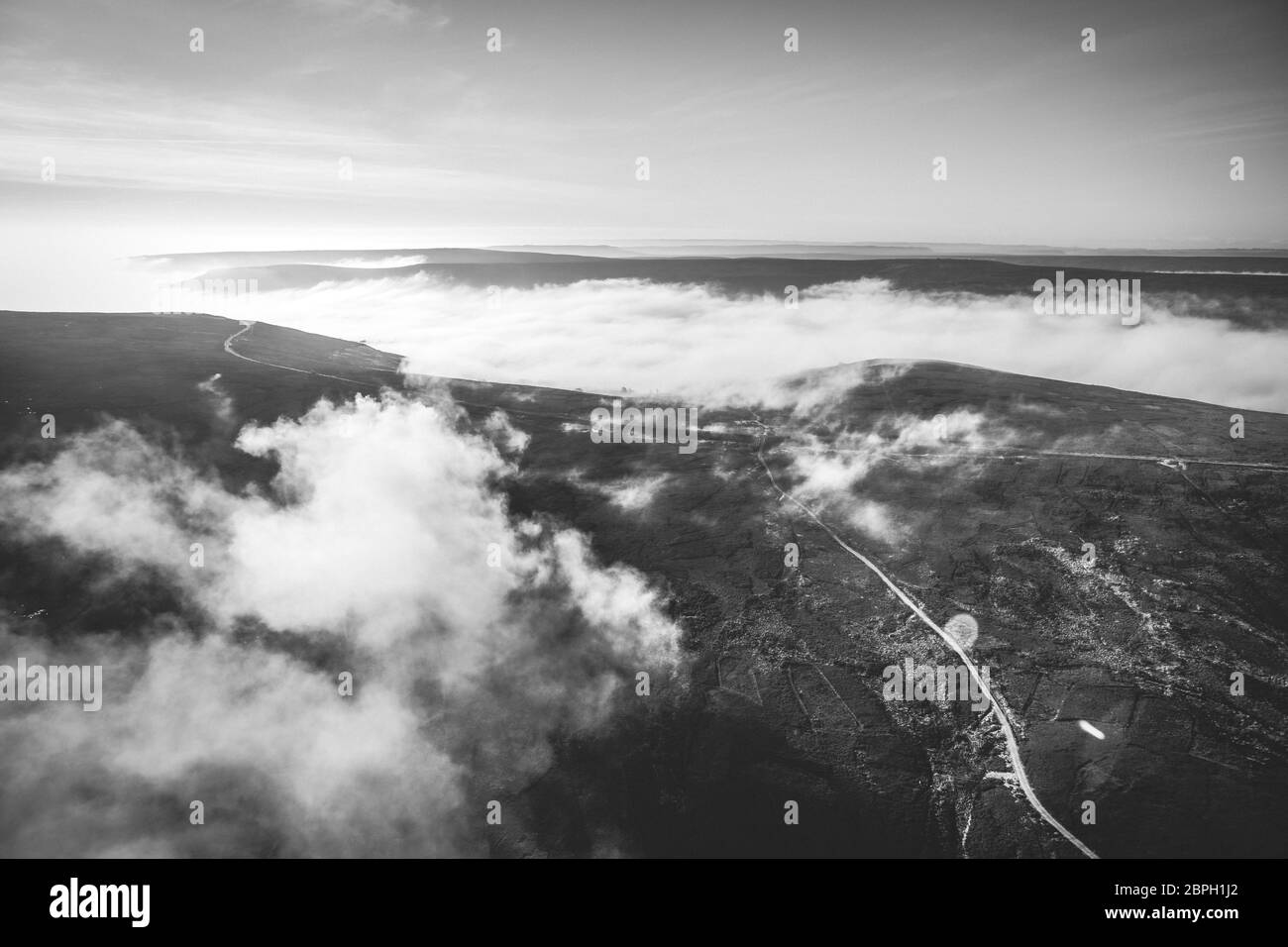 Schwarz-Weiß Luftansicht eines wolkigen Yorkshire Moors Stockfotohttps://www.alamy.de/image-license-details/?v=1https://www.alamy.de/schwarz-weiss-luftansicht-eines-wolkigen-yorkshire-moors-image358104266.html
RM2BPH1J2–Schwarz-Weiß Luftansicht eines wolkigen Yorkshire Moors
 Luftaufnahme eines wolkigen Yorkshire Moors Stockfotohttps://www.alamy.de/image-license-details/?v=1https://www.alamy.de/luftaufnahme-eines-wolkigen-yorkshire-moors-image358104309.html
RM2BPH1KH–Luftaufnahme eines wolkigen Yorkshire Moors
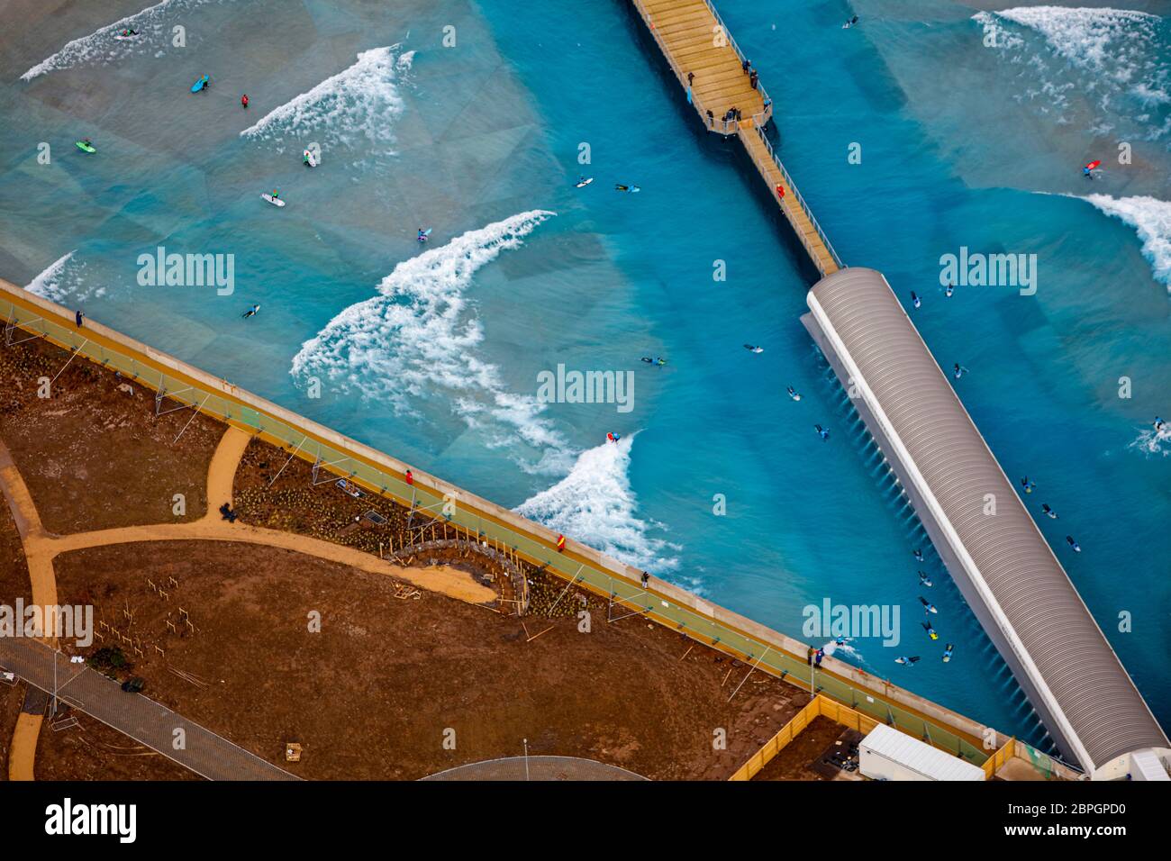 Luftaufnahme der Welle Stockfotohttps://www.alamy.de/image-license-details/?v=1https://www.alamy.de/luftaufnahme-der-welle-image358098636.html
RM2BPGPD0–Luftaufnahme der Welle
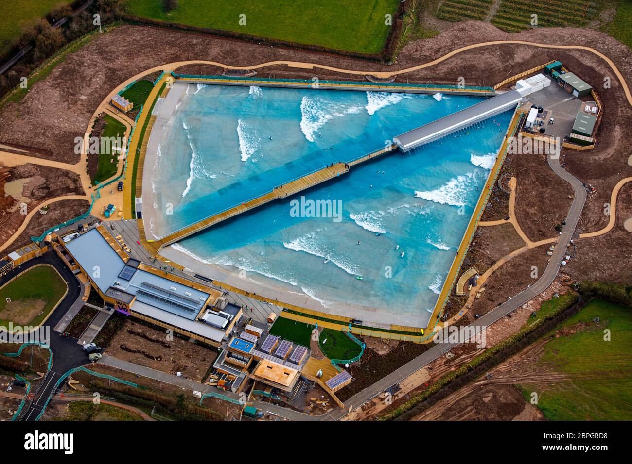 Luftaufnahme der Welle Stockfotohttps://www.alamy.de/image-license-details/?v=1https://www.alamy.de/luftaufnahme-der-welle-image358099428.html
RM2BPGRD8–Luftaufnahme der Welle
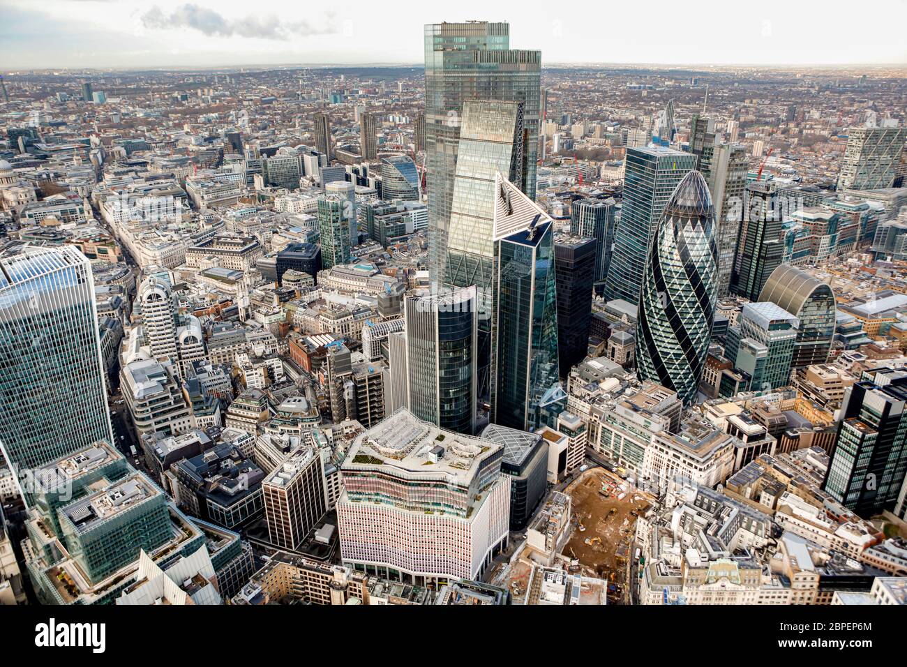 City of London Financial District Stockfotohttps://www.alamy.de/image-license-details/?v=1https://www.alamy.de/city-of-london-financial-district-image358054556.html
RM2BPEP6M–City of London Financial District
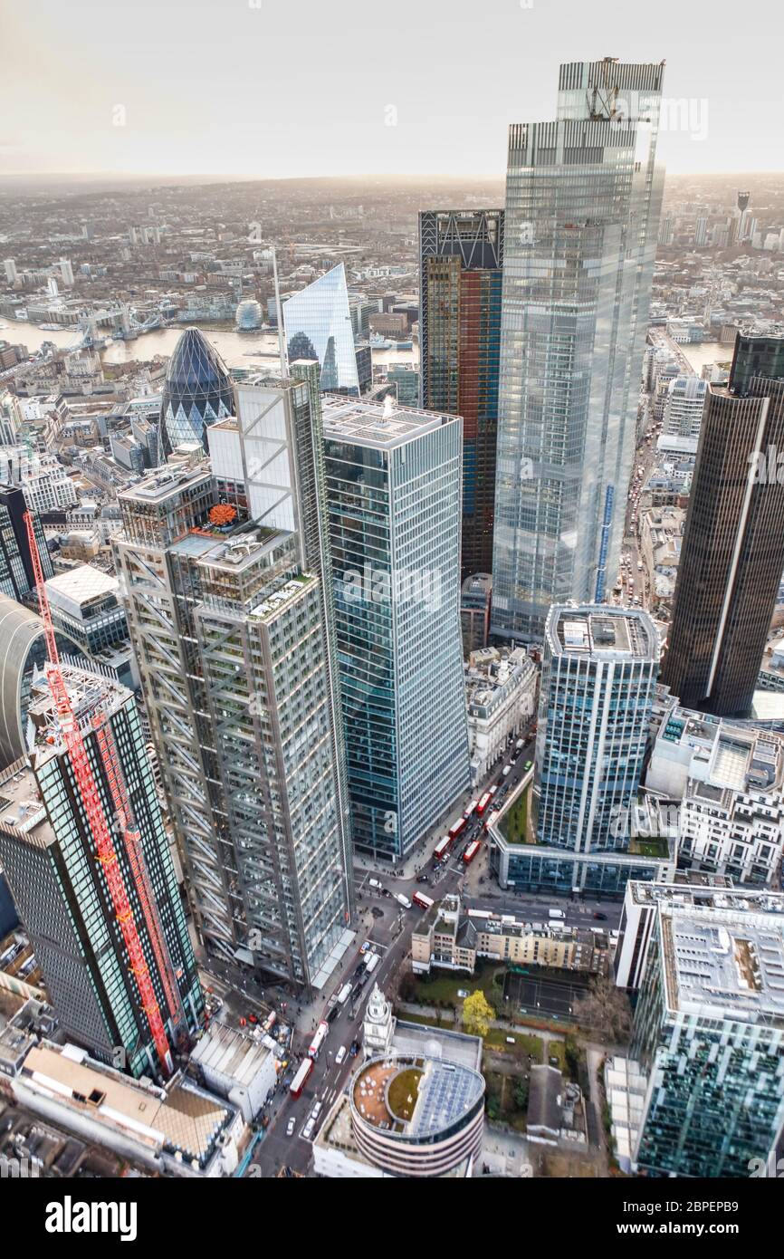 Luftaufnahme des London Heron Tower und des Bishopsgate 22 Stockfotohttps://www.alamy.de/image-license-details/?v=1https://www.alamy.de/luftaufnahme-des-london-heron-tower-und-des-bishopsgate-22-image358054685.html
RM2BPEPB9–Luftaufnahme des London Heron Tower und des Bishopsgate 22
 Luftaufnahme der Spitze des Tower 42, London Stockfotohttps://www.alamy.de/image-license-details/?v=1https://www.alamy.de/luftaufnahme-der-spitze-des-tower-42-london-image358054864.html
RM2BPEPHM–Luftaufnahme der Spitze des Tower 42, London
 Luftaufnahme des Weihnachtsmarktes von Birmingham Stockfotohttps://www.alamy.de/image-license-details/?v=1https://www.alamy.de/luftaufnahme-des-weihnachtsmarktes-von-birmingham-image358102332.html
RM2BPGY50–Luftaufnahme des Weihnachtsmarktes von Birmingham
 Luftaufnahme einer beschädigten Windenergieanlage in England, Großbritannien Stockfotohttps://www.alamy.de/image-license-details/?v=1https://www.alamy.de/luftaufnahme-einer-beschadigten-windenergieanlage-in-england-grossbritannien-image359415813.html
RM2BTMPF1–Luftaufnahme einer beschädigten Windenergieanlage in England, Großbritannien
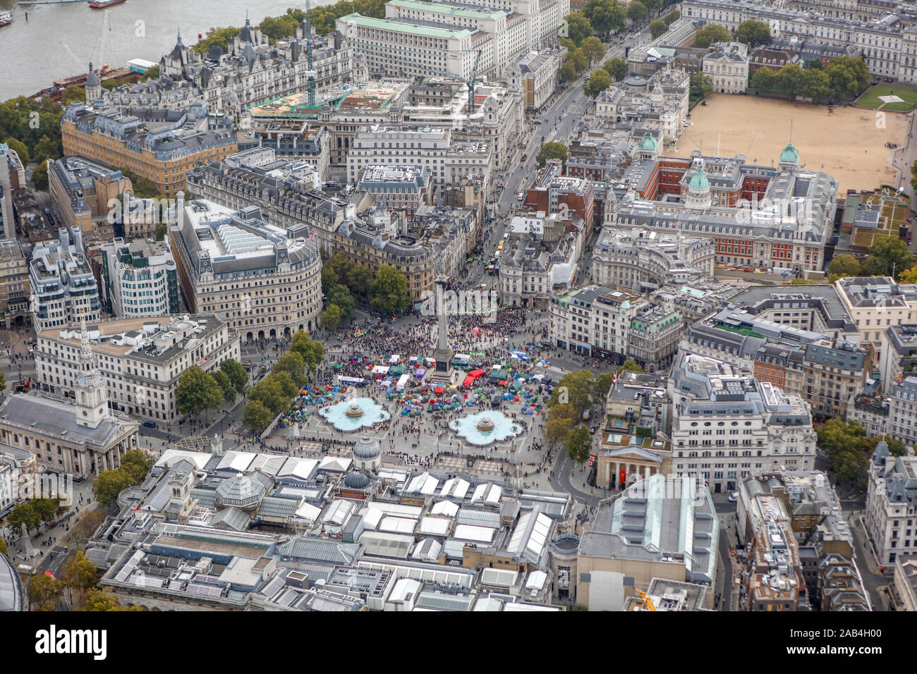 Luftbild mit Klima Proteste auf dem Trafalgar Square in London Stockfotohttps://www.alamy.de/image-license-details/?v=1https://www.alamy.de/luftbild-mit-klima-proteste-auf-dem-trafalgar-square-in-london-image333859344.html
RM2AB4H00–Luftbild mit Klima Proteste auf dem Trafalgar Square in London
 Hubschrauberlandeplatz am London Heliport Battersea Stockfotohttps://www.alamy.de/image-license-details/?v=1https://www.alamy.de/hubschrauberlandeplatz-am-london-heliport-battersea-image333859460.html
RM2AB4H44–Hubschrauberlandeplatz am London Heliport Battersea
 Eurotunnel Folkestone Station Stockfotohttps://www.alamy.de/image-license-details/?v=1https://www.alamy.de/eurotunnel-folkestone-station-image333857851.html
RM2AB4F2K–Eurotunnel Folkestone Station
 Luftaufnahme von Shakespeares Globe London, Großbritannien Stockfotohttps://www.alamy.de/image-license-details/?v=1https://www.alamy.de/luftaufnahme-von-shakespeares-globe-london-grossbritannien-image333859221.html
RF2AB4GRH–Luftaufnahme von Shakespeares Globe London, Großbritannien
 Luftaufnahme des Flughafens London Heathrow Stockfotohttps://www.alamy.de/image-license-details/?v=1https://www.alamy.de/luftaufnahme-des-flughafens-london-heathrow-image333859068.html
RM2AB4GJ4–Luftaufnahme des Flughafens London Heathrow
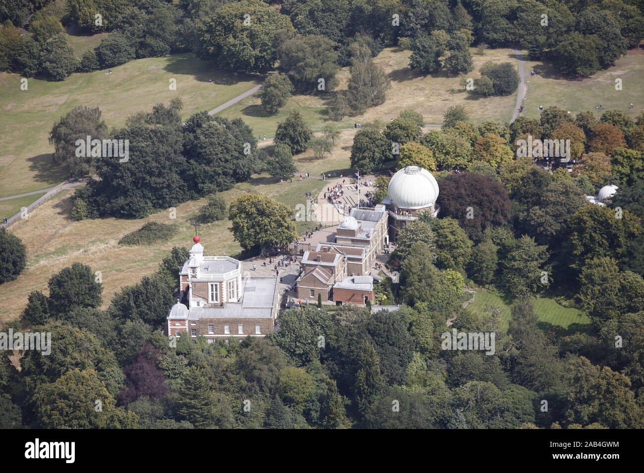 Luftaufnahme des Royal Observatory Greenwich London Stockfotohttps://www.alamy.de/image-license-details/?v=1https://www.alamy.de/luftaufnahme-des-royal-observatory-greenwich-london-image333859280.html
RF2AB4GWM–Luftaufnahme des Royal Observatory Greenwich London
 Luftaufnahme des Finanzdistrikts, London, Großbritannien Stockfotohttps://www.alamy.de/image-license-details/?v=1https://www.alamy.de/luftaufnahme-des-finanzdistrikts-london-grossbritannien-image333858734.html
RF2AB4G66–Luftaufnahme des Finanzdistrikts, London, Großbritannien
 Luftaufnahme des Old Oak Common Railway Station Depot, London, Großbritannien Stockfotohttps://www.alamy.de/image-license-details/?v=1https://www.alamy.de/luftaufnahme-des-old-oak-common-railway-station-depot-london-grossbritannien-image333859010.html
RM2AB4GG2–Luftaufnahme des Old Oak Common Railway Station Depot, London, Großbritannien
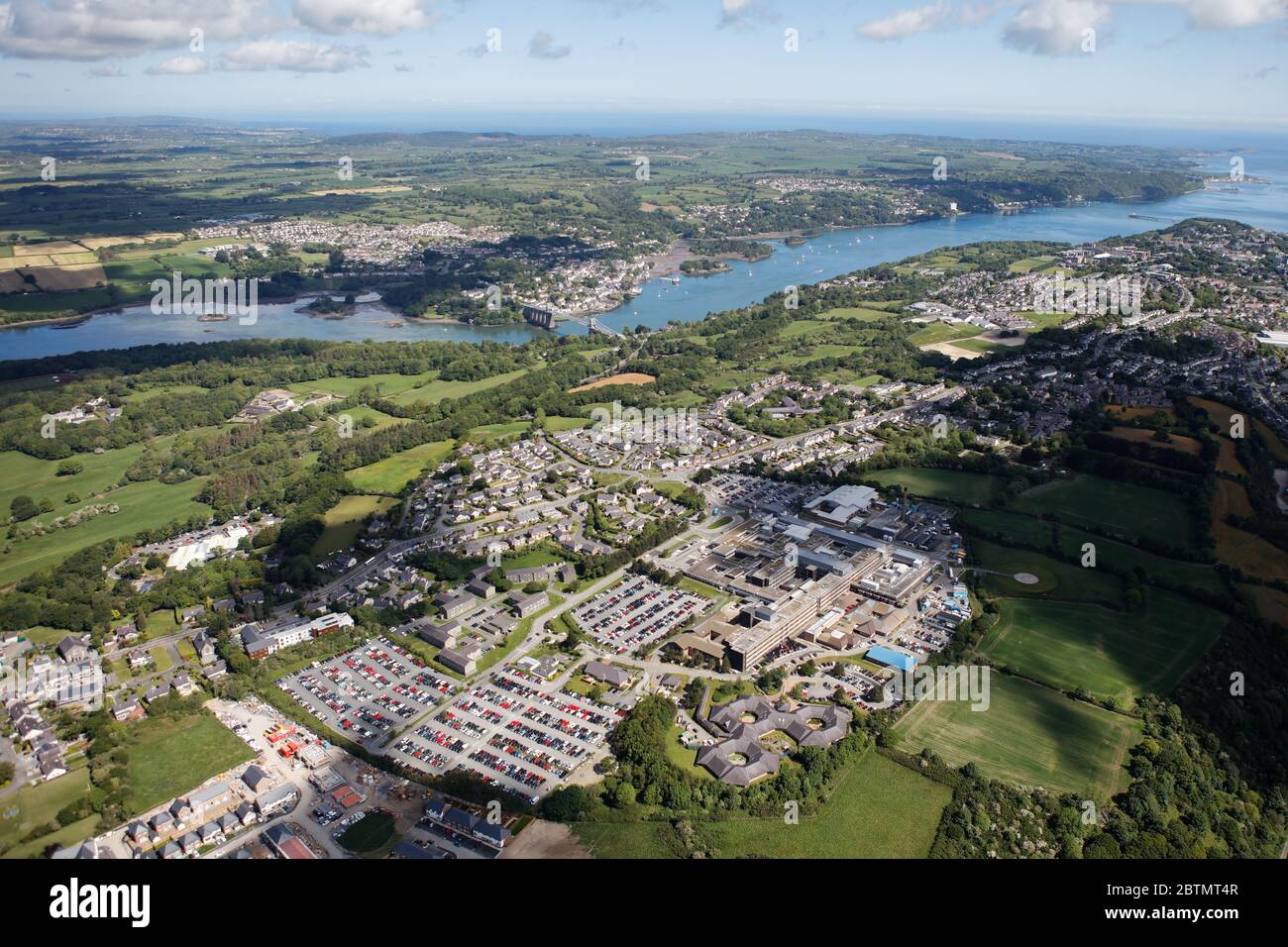 Luftaufnahme von Bangor in Wales Stockfotohttps://www.alamy.de/image-license-details/?v=1https://www.alamy.de/luftaufnahme-von-bangor-in-wales-image359417095.html
RM2BTMT4R–Luftaufnahme von Bangor in Wales
 Luftaufnahme von Bangor in Wales Stockfotohttps://www.alamy.de/image-license-details/?v=1https://www.alamy.de/luftaufnahme-von-bangor-in-wales-image359417110.html
RM2BTMT5A–Luftaufnahme von Bangor in Wales
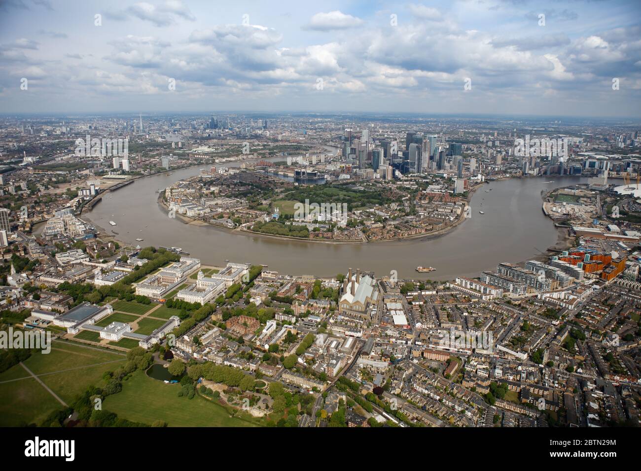 Luftaufnahme der Insel der Hunde Stockfotohttps://www.alamy.de/image-license-details/?v=1https://www.alamy.de/luftaufnahme-der-insel-der-hunde-image359421936.html
RM2BTN29M–Luftaufnahme der Insel der Hunde
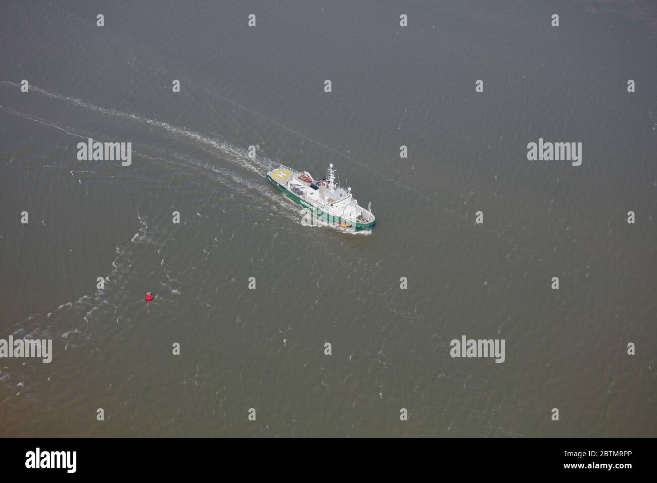 Luftaufnahme des Esperanza Greenpeace International Fishery Patrol Vessel Stockfotohttps://www.alamy.de/image-license-details/?v=1https://www.alamy.de/luftaufnahme-des-esperanza-greenpeace-international-fishery-patrol-vessel-image359416814.html
RM2BTMRPP–Luftaufnahme des Esperanza Greenpeace International Fishery Patrol Vessel
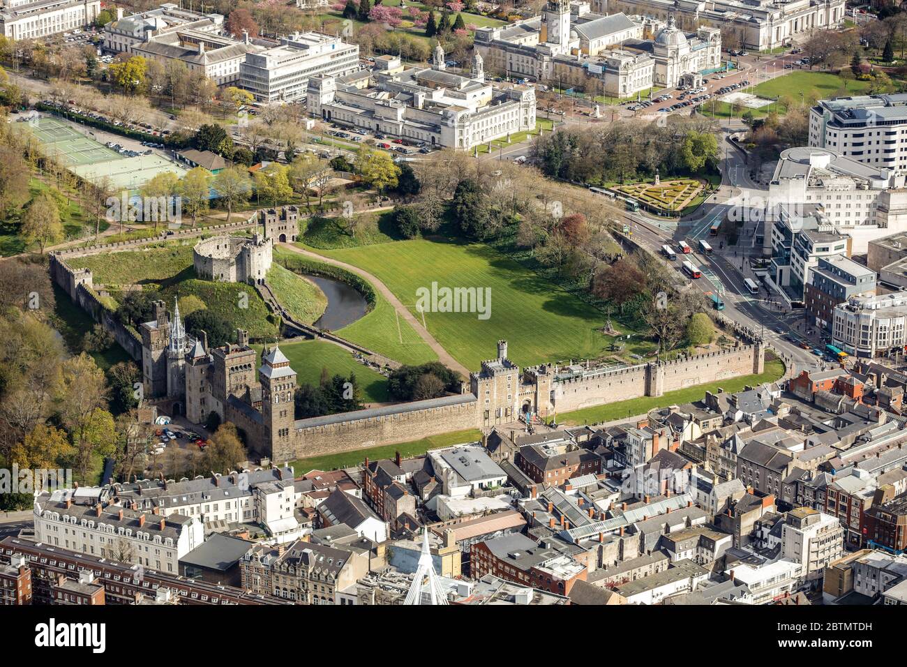 Luftaufnahme von Cardiff Castle in Wales Stockfotohttps://www.alamy.de/image-license-details/?v=1https://www.alamy.de/luftaufnahme-von-cardiff-castle-in-wales-image359417341.html
RM2BTMTDH–Luftaufnahme von Cardiff Castle in Wales
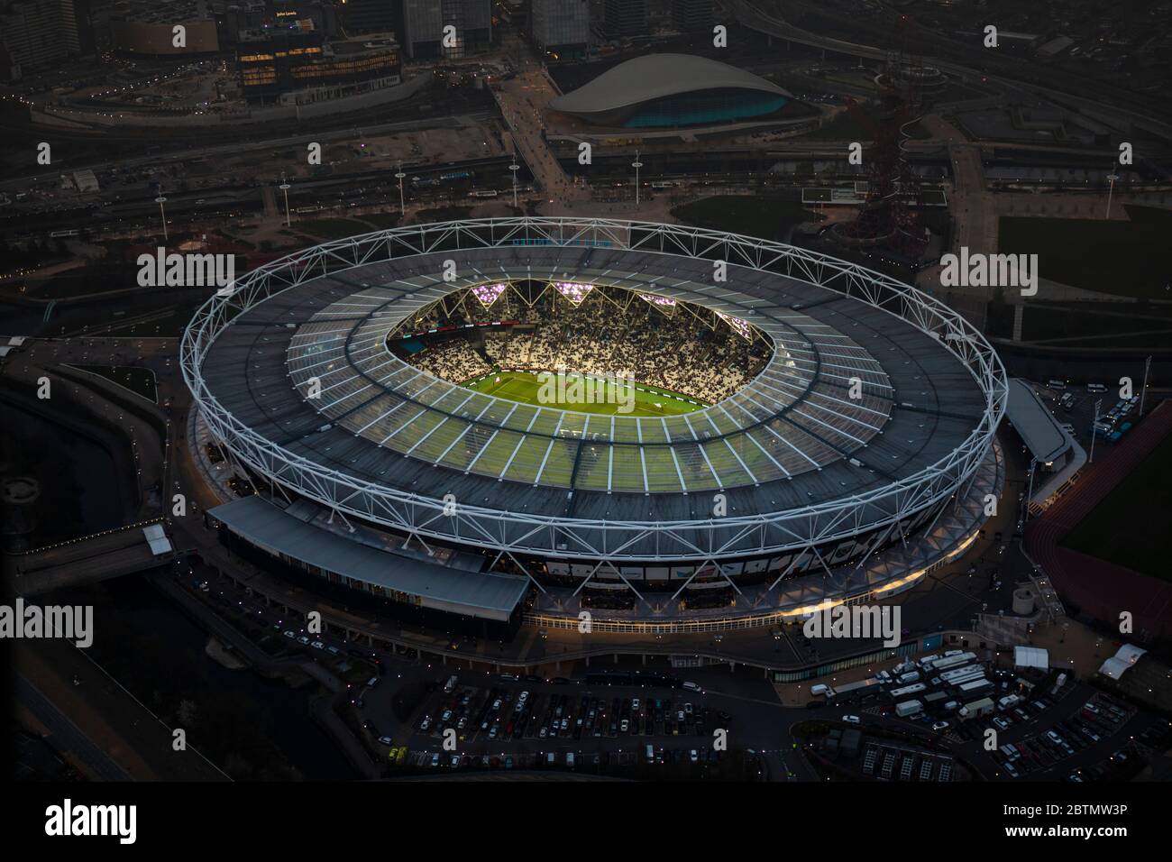 Luftaufnahme des London Bridge Stadions, London UK in Dusk Stockfotohttps://www.alamy.de/image-license-details/?v=1https://www.alamy.de/luftaufnahme-des-london-bridge-stadions-london-uk-in-dusk-image359417850.html
RM2BTMW3P–Luftaufnahme des London Bridge Stadions, London UK in Dusk
 Londons Skyline bei Dusk Stockfotohttps://www.alamy.de/image-license-details/?v=1https://www.alamy.de/londons-skyline-bei-dusk-image359420104.html
RM2BTN008–Londons Skyline bei Dusk
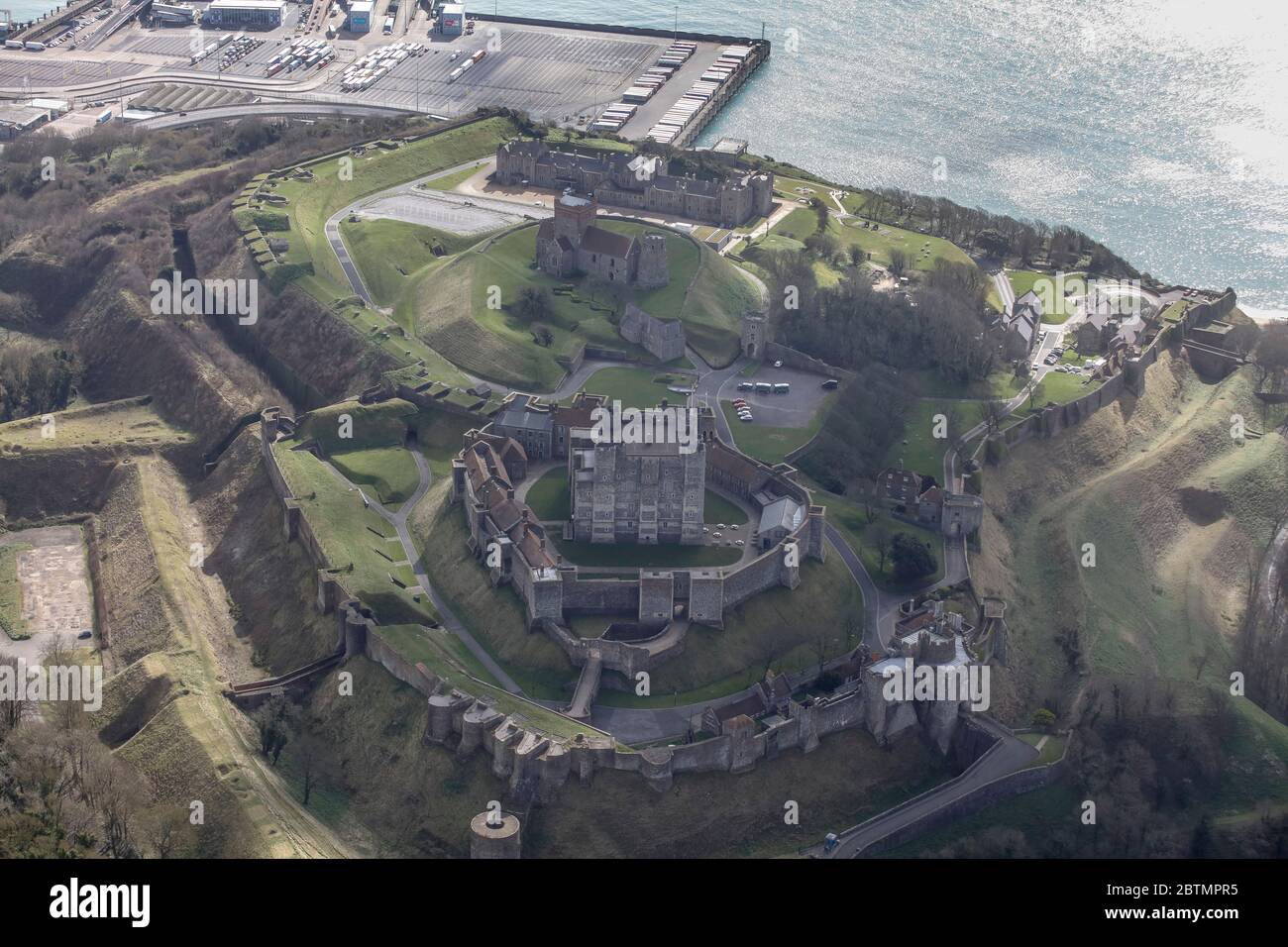 Luftaufnahme von Dover Castle in England Stockfotohttps://www.alamy.de/image-license-details/?v=1https://www.alamy.de/luftaufnahme-von-dover-castle-in-england-image359416041.html
RM2BTMPR5–Luftaufnahme von Dover Castle in England
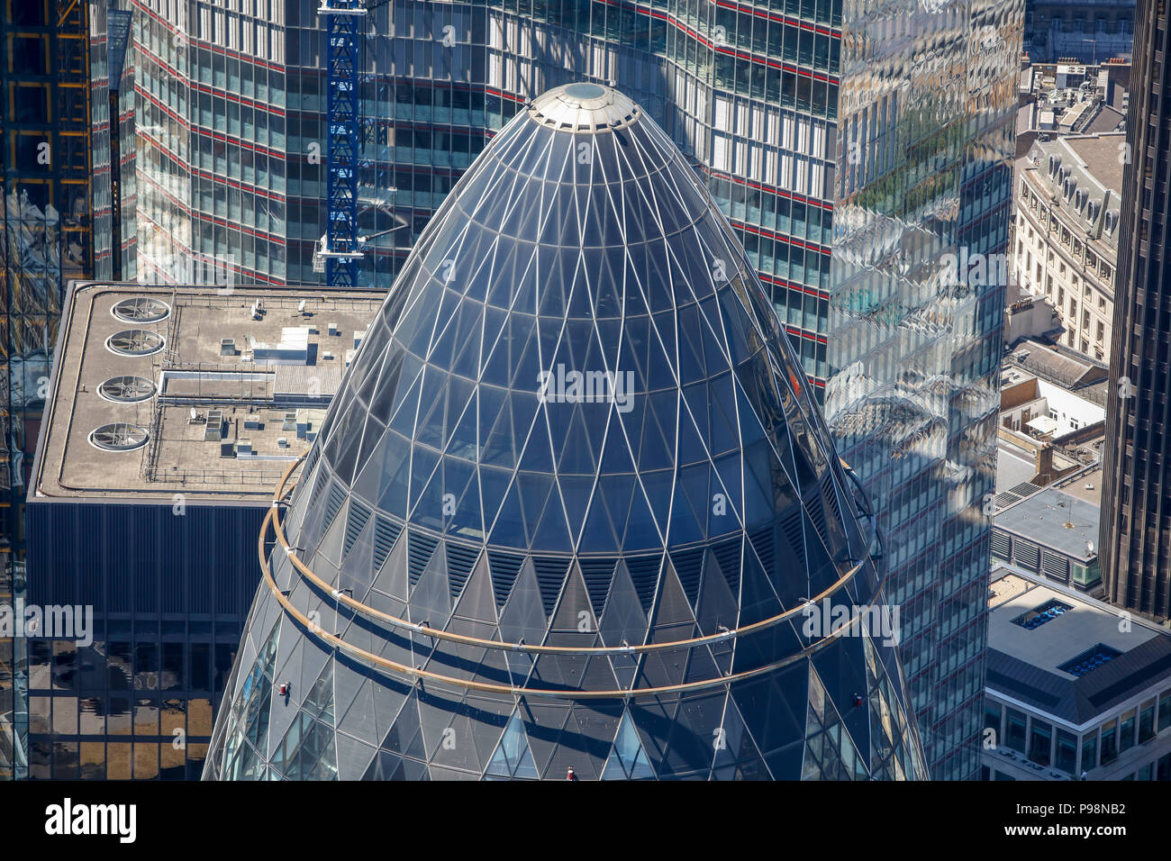 Luftbild von der Oberseite der Gurke Stockfotohttps://www.alamy.de/image-license-details/?v=1https://www.alamy.de/luftbild-von-der-oberseite-der-gurke-image212248710.html
RMP98NB2–Luftbild von der Oberseite der Gurke
 Ein Luftbild der Stadt London Stockfotohttps://www.alamy.de/image-license-details/?v=1https://www.alamy.de/ein-luftbild-der-stadt-london-image207763735.html
RFP20CNB–Ein Luftbild der Stadt London
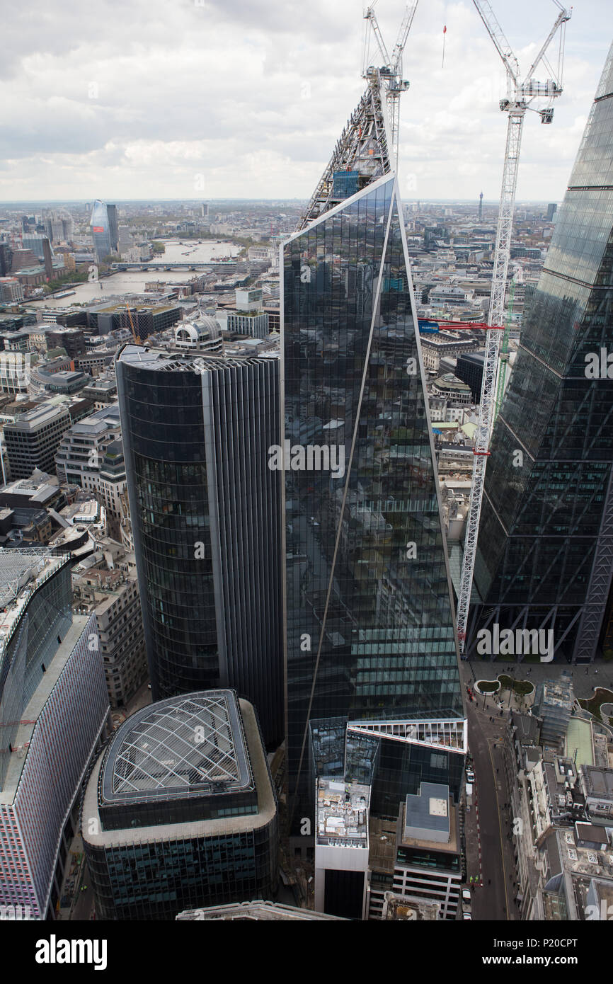 Ein Luftbild von "Das Skalpell" ein Wolkenkratzer im Bau in der City von London Stockfotohttps://www.alamy.de/image-license-details/?v=1https://www.alamy.de/ein-luftbild-von-das-skalpell-ein-wolkenkratzer-im-bau-in-der-city-von-london-image207763776.html
RMP20CPT–Ein Luftbild von "Das Skalpell" ein Wolkenkratzer im Bau in der City von London
 Eine Luftaufnahme des Internationalen Bomber Command Center, Lincoln. Stockfotohttps://www.alamy.de/image-license-details/?v=1https://www.alamy.de/eine-luftaufnahme-des-internationalen-bomber-command-center-lincoln-image207763996.html
RMP20D2M–Eine Luftaufnahme des Internationalen Bomber Command Center, Lincoln.
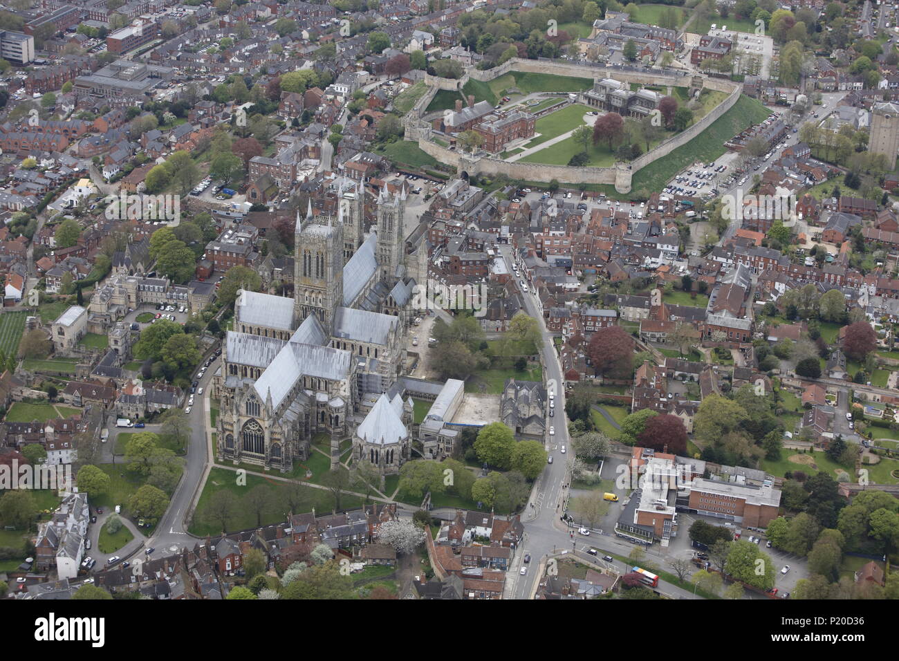 Ein Blick auf die Kathedrale und die Burg in Lincoln Stockfotohttps://www.alamy.de/image-license-details/?v=1https://www.alamy.de/ein-blick-auf-die-kathedrale-und-die-burg-in-lincoln-image207764010.html
RMP20D36–Ein Blick auf die Kathedrale und die Burg in Lincoln
 Eine Luftaufnahme der Burg und Tynemouth Priory, North East England. Stockfotohttps://www.alamy.de/image-license-details/?v=1https://www.alamy.de/eine-luftaufnahme-der-burg-und-tynemouth-priory-north-east-england-image207764054.html
RMP20D4P–Eine Luftaufnahme der Burg und Tynemouth Priory, North East England.
 Ein Luftbild von Plymouth Kathedrale, Cornwall, Großbritannien Stockfotohttps://www.alamy.de/image-license-details/?v=1https://www.alamy.de/ein-luftbild-von-plymouth-kathedrale-cornwall-grossbritannien-image207763857.html
RMP20CWN–Ein Luftbild von Plymouth Kathedrale, Cornwall, Großbritannien
 Ein Luftbild der Devon Exeter Stockfotohttps://www.alamy.de/image-license-details/?v=1https://www.alamy.de/ein-luftbild-der-devon-exeter-image207763828.html
RMP20CTM–Ein Luftbild der Devon Exeter
 Ein Luftbild der Gegend rund um Newcastle Schloss in Bridgend, Südwales Stockfotohttps://www.alamy.de/image-license-details/?v=1https://www.alamy.de/stockfoto-ein-luftbild-der-gegend-rund-um-newcastle-schloss-in-bridgend-sudwales-175442813.html
RMM5C32N–Ein Luftbild der Gegend rund um Newcastle Schloss in Bridgend, Südwales
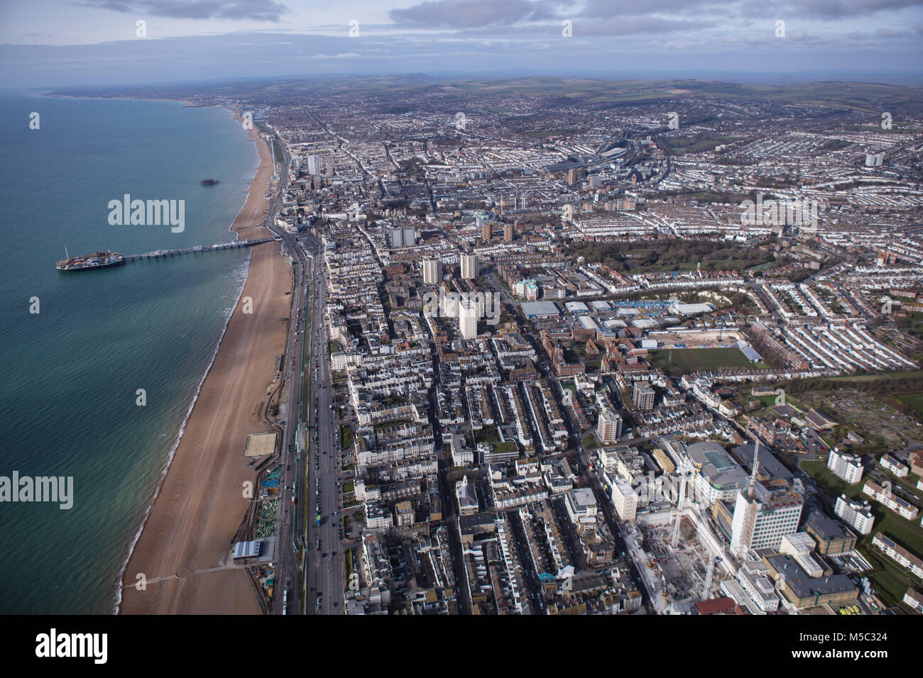 Ein Luftbild von Brighton, einer Stadt an der Küste von Sussex in Südengland Stockfotohttps://www.alamy.de/image-license-details/?v=1https://www.alamy.de/stockfoto-ein-luftbild-von-brighton-einer-stadt-an-der-kuste-von-sussex-in-sudengland-175442796.html
RMM5C324–Ein Luftbild von Brighton, einer Stadt an der Küste von Sussex in Südengland
 Ein Luftbild der Aktivität auf dem Flughafen Manchester Stockfotohttps://www.alamy.de/image-license-details/?v=1https://www.alamy.de/stockfoto-ein-luftbild-der-aktivitat-auf-dem-flughafen-manchester-169251969.html
RMKRA2H5–Ein Luftbild der Aktivität auf dem Flughafen Manchester
 Eine Luftaufnahme des AJ Bell Stadium, Heimat der Verkauf Haifische Stockfotohttps://www.alamy.de/image-license-details/?v=1https://www.alamy.de/stockfoto-eine-luftaufnahme-des-aj-bell-stadium-heimat-der-verkauf-haifische-169251970.html
RFKRA2H6–Eine Luftaufnahme des AJ Bell Stadium, Heimat der Verkauf Haifische
 Ein Luftbild der Aktivität auf dem Flughafen Manchester Stockfotohttps://www.alamy.de/image-license-details/?v=1https://www.alamy.de/stockfoto-ein-luftbild-der-aktivitat-auf-dem-flughafen-manchester-169251941.html
RMKRA2G5–Ein Luftbild der Aktivität auf dem Flughafen Manchester
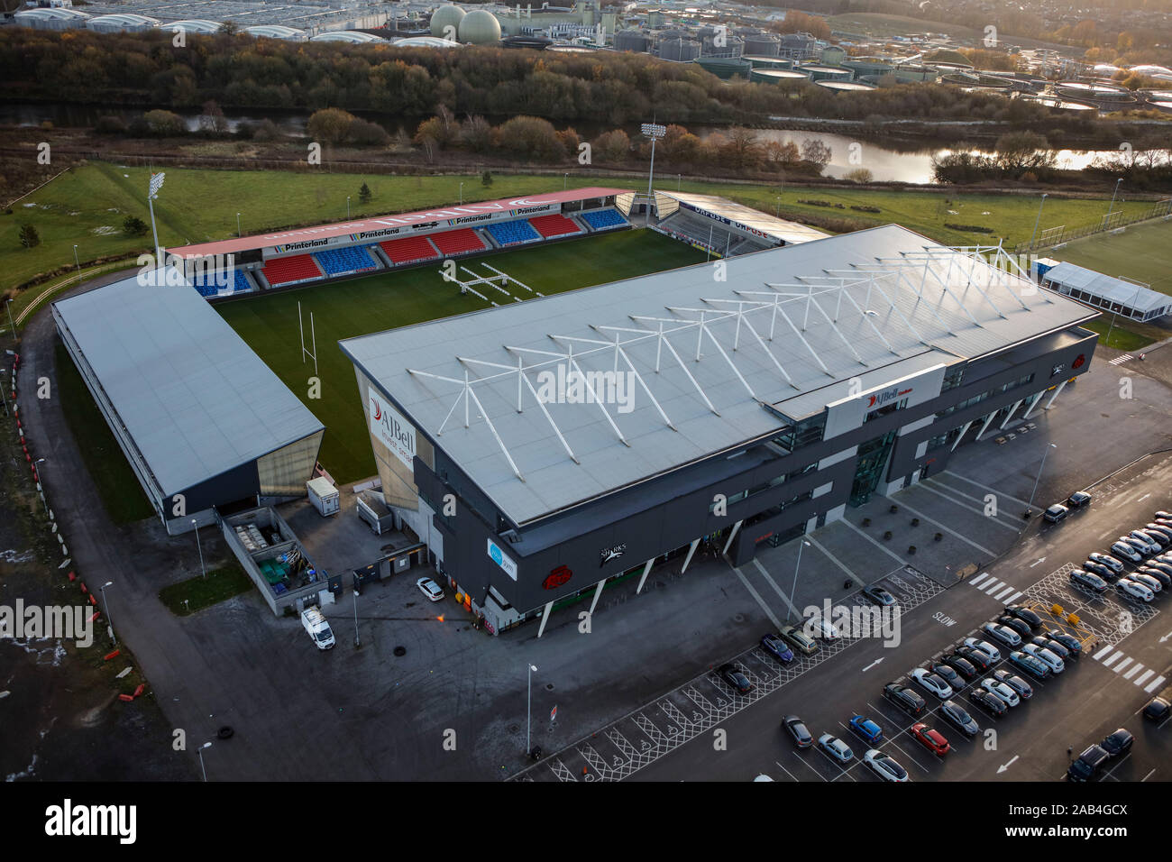 Luftaufnahme des AJ Bell Stadium, Salford, Manchester, Großbritannien Stockfotohttps://www.alamy.de/image-license-details/?v=1https://www.alamy.de/luftaufnahme-des-aj-bell-stadium-salford-manchester-grossbritannien-image333858922.html
RF2AB4GCX–Luftaufnahme des AJ Bell Stadium, Salford, Manchester, Großbritannien
 Eine Luftaufnahme des AJ Bell Stadium, Heimat der Verkauf Haifische Stockfotohttps://www.alamy.de/image-license-details/?v=1https://www.alamy.de/stockfoto-eine-luftaufnahme-des-aj-bell-stadium-heimat-der-verkauf-haifische-169252002.html
RFKRA2JA–Eine Luftaufnahme des AJ Bell Stadium, Heimat der Verkauf Haifische
 Ein Luftbild des Dorfes Braithwaite und die Cumbrian Mountains über Stockfotohttps://www.alamy.de/image-license-details/?v=1https://www.alamy.de/stockfoto-ein-luftbild-des-dorfes-braithwaite-und-die-cumbrian-mountains-uber-169252190.html
RMKRA2W2–Ein Luftbild des Dorfes Braithwaite und die Cumbrian Mountains über
 Eine Luftaufnahme von Towcester Rennbahn, Northamptonshire Stockfotohttps://www.alamy.de/image-license-details/?v=1https://www.alamy.de/stockfoto-eine-luftaufnahme-von-towcester-rennbahn-northamptonshire-169252145.html
RMKRA2RD–Eine Luftaufnahme von Towcester Rennbahn, Northamptonshire
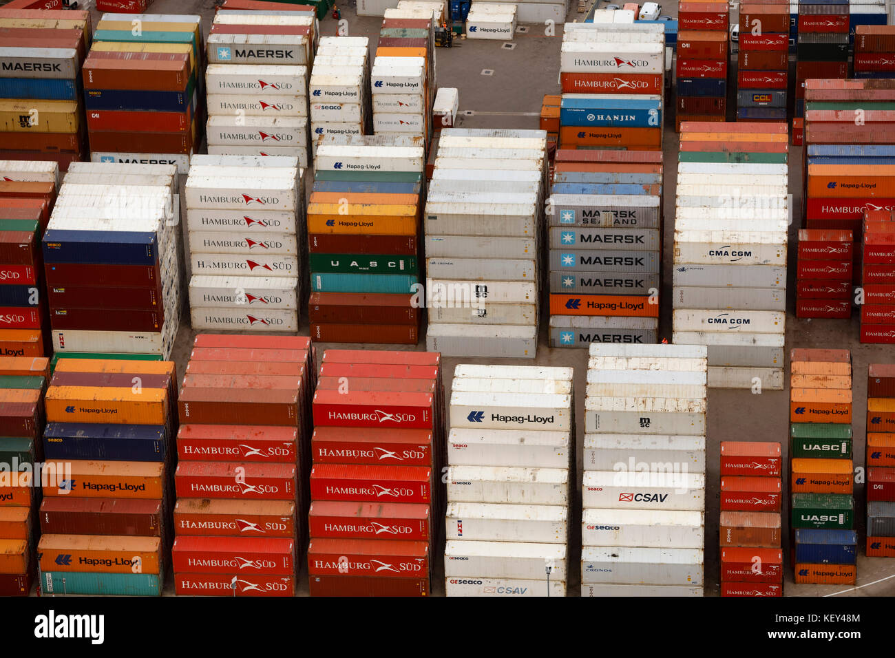 Eine Nahaufnahme Luftaufnahme der Transportbehälter in einem Yard gestapelt Stockfotohttps://www.alamy.de/image-license-details/?v=1https://www.alamy.de/stockfoto-eine-nahaufnahme-luftaufnahme-der-transportbehalter-in-einem-yard-gestapelt-164094580.html
RMKEY48M–Eine Nahaufnahme Luftaufnahme der Transportbehälter in einem Yard gestapelt
 Ein Luftbild des Dorfes Ugborough und die umliegende Landschaft von Devon Stockfotohttps://www.alamy.de/image-license-details/?v=1https://www.alamy.de/stockfoto-ein-luftbild-des-dorfes-ugborough-und-die-umliegende-landschaft-von-devon-164094504.html
RMKEY460–Ein Luftbild des Dorfes Ugborough und die umliegende Landschaft von Devon
 Ein Luftbild des Dorfes Ugborough und die umliegende Landschaft von Devon Stockfotohttps://www.alamy.de/image-license-details/?v=1https://www.alamy.de/stockfoto-ein-luftbild-des-dorfes-ugborough-und-die-umliegende-landschaft-von-devon-164094510.html
RMKEY466–Ein Luftbild des Dorfes Ugborough und die umliegende Landschaft von Devon
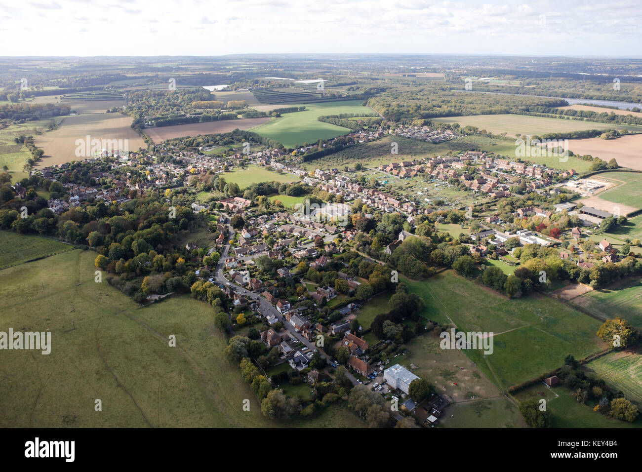 Ein Luftbild des Dorfes Littlebourne in Kent, South East England Stockfotohttps://www.alamy.de/image-license-details/?v=1https://www.alamy.de/stockfoto-ein-luftbild-des-dorfes-littlebourne-in-kent-south-east-england-164094648.html
RMKEY4B4–Ein Luftbild des Dorfes Littlebourne in Kent, South East England
 Eine Luftaufnahme von pleasley Zeche in der Nähe von Mansfield, Nottinghamshire Stockfotohttps://www.alamy.de/image-license-details/?v=1https://www.alamy.de/stockfoto-eine-luftaufnahme-von-pleasley-zeche-in-der-nahe-von-mansfield-nottinghamshire-164094640.html
RMKEY4AT–Eine Luftaufnahme von pleasley Zeche in der Nähe von Mansfield, Nottinghamshire
 Ein Luftbild des Dorfes Buren an der Grenze von Essex und Suffolk Stockfotohttps://www.alamy.de/image-license-details/?v=1https://www.alamy.de/stockfoto-ein-luftbild-des-dorfes-buren-an-der-grenze-von-essex-und-suffolk-164094627.html
RMKEY4AB–Ein Luftbild des Dorfes Buren an der Grenze von Essex und Suffolk
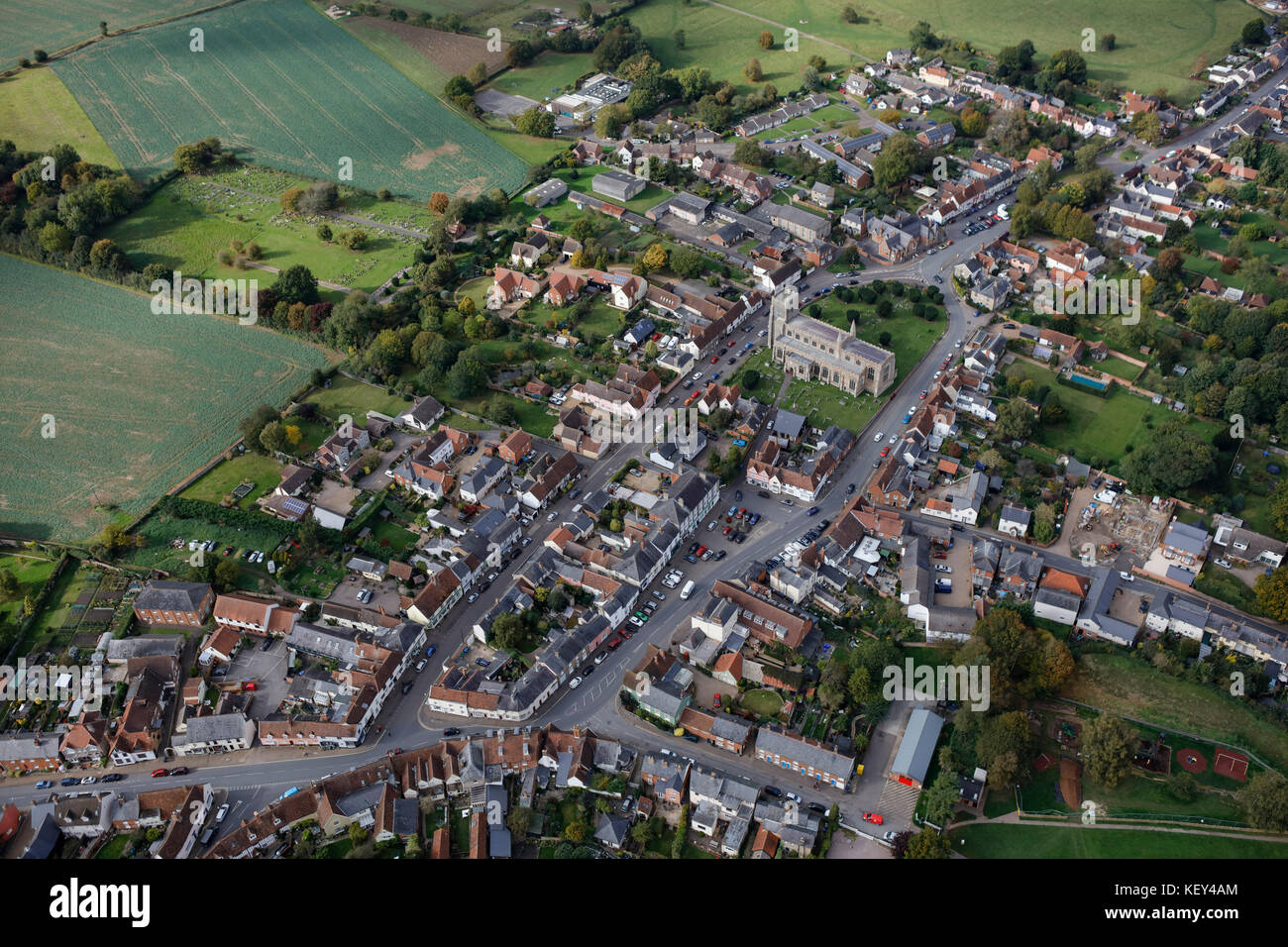 Ein Luftbild der Suffolk Dorf Clare Stockfotohttps://www.alamy.de/image-license-details/?v=1https://www.alamy.de/stockfoto-ein-luftbild-der-suffolk-dorf-clare-164094636.html
RMKEY4AM–Ein Luftbild der Suffolk Dorf Clare
 Ein Luftbild von London nach Osten, mit grünen Park, St. James' Park, Westminster und London sichtbar Stockfotohttps://www.alamy.de/image-license-details/?v=1https://www.alamy.de/stockfoto-ein-luftbild-von-london-nach-osten-mit-grunen-park-st-james-park-westminster-und-london-sichtbar-164094611.html
RMKEY49R–Ein Luftbild von London nach Osten, mit grünen Park, St. James' Park, Westminster und London sichtbar
 Ein Luftbild von alten Ford Norden oben, um die Lea Tal in Richtung Tottenham Stockfotohttps://www.alamy.de/image-license-details/?v=1https://www.alamy.de/stockfoto-ein-luftbild-von-alten-ford-norden-oben-um-die-lea-tal-in-richtung-tottenham-164094604.html
RMKEY49G–Ein Luftbild von alten Ford Norden oben, um die Lea Tal in Richtung Tottenham
 Ein Luftbild der Stadt Schwanebeck in Somerset, South West England Stockfotohttps://www.alamy.de/image-license-details/?v=1https://www.alamy.de/stockfoto-ein-luftbild-der-stadt-schwanebeck-in-somerset-south-west-england-164094538.html
RMKEY476–Ein Luftbild der Stadt Schwanebeck in Somerset, South West England
 Ein Luftbild der großen Cambridgeshire Dorf Sawston Stockfotohttps://www.alamy.de/image-license-details/?v=1https://www.alamy.de/stockfoto-ein-luftbild-der-grossen-cambridgeshire-dorf-sawston-164094581.html
RMKEY48N–Ein Luftbild der großen Cambridgeshire Dorf Sawston
 Eine Luftaufnahme der Stadtrand von Knutsford mit Manchester Airport in der Ferne sichtbar Stockfotohttps://www.alamy.de/image-license-details/?v=1https://www.alamy.de/stockfoto-eine-luftaufnahme-der-stadtrand-von-knutsford-mit-manchester-airport-in-der-ferne-sichtbar-169549153.html
RMKRRHJW–Eine Luftaufnahme der Stadtrand von Knutsford mit Manchester Airport in der Ferne sichtbar
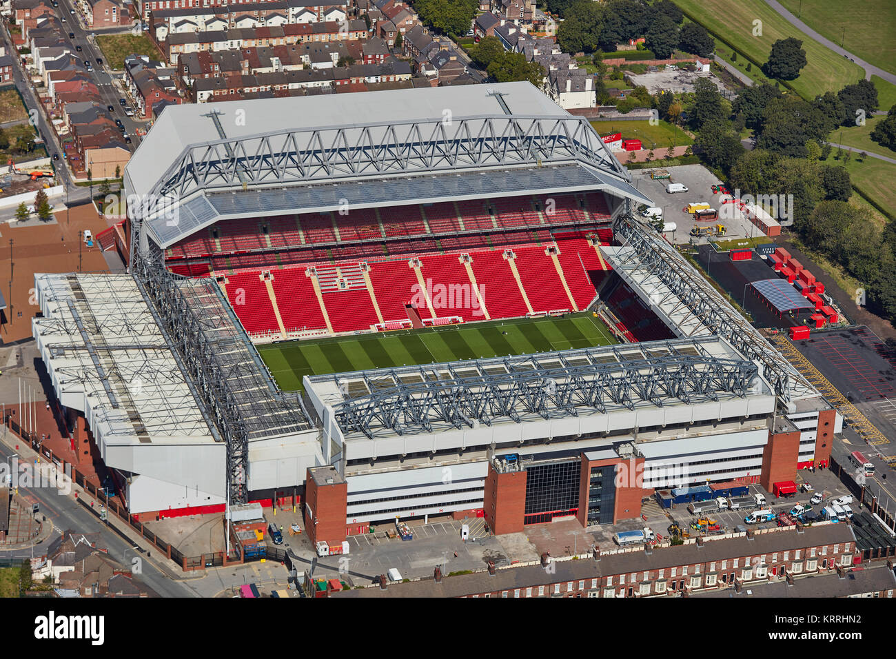 Eine Luftaufnahme von Anfield Stadion, Heimat des FC Liverpool Stockfotohttps://www.alamy.de/image-license-details/?v=1https://www.alamy.de/stockfoto-eine-luftaufnahme-von-anfield-stadion-heimat-des-fc-liverpool-169549214.html
RMKRRHN2–Eine Luftaufnahme von Anfield Stadion, Heimat des FC Liverpool
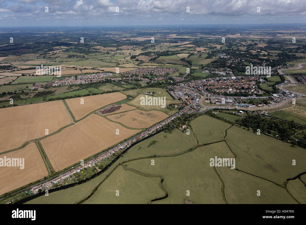 Eine Luftaufnahme der Stadt von Roggen und die umliegenden East Sussex Stockfotohttps://www.alamy.de/image-license-details/?v=1https://www.alamy.de/eine-luftaufnahme-der-stadt-von-roggen-und-die-umliegenden-east-sussex-image154987159.html
RMK047KK–Eine Luftaufnahme der Stadt von Roggen und die umliegenden East Sussex
 Einen Panoramablick über London von Marylebone, die Skyline und den Fluss Themse in der Ferne Stockfotohttps://www.alamy.de/image-license-details/?v=1https://www.alamy.de/einen-panoramablick-uber-london-von-marylebone-die-skyline-und-den-fluss-themse-in-der-ferne-image154987077.html
RMK047GN–Einen Panoramablick über London von Marylebone, die Skyline und den Fluss Themse in der Ferne
 Ein Luftbild der Wolkenkratzer in der City von London Stockfotohttps://www.alamy.de/image-license-details/?v=1https://www.alamy.de/ein-luftbild-der-wolkenkratzer-in-der-city-von-london-image154987110.html
RMK047HX–Ein Luftbild der Wolkenkratzer in der City von London
 Eine Luftaufnahme von London mit dem London Eye & Waterloo Station im Vordergrund und der City of London in der Ferne Stockfotohttps://www.alamy.de/image-license-details/?v=1https://www.alamy.de/stockfoto-eine-luftaufnahme-von-london-mit-dem-london-eye-waterloo-station-im-vordergrund-und-der-city-of-london-in-der-ferne-149197320.html
RFJJMEKM–Eine Luftaufnahme von London mit dem London Eye & Waterloo Station im Vordergrund und der City of London in der Ferne
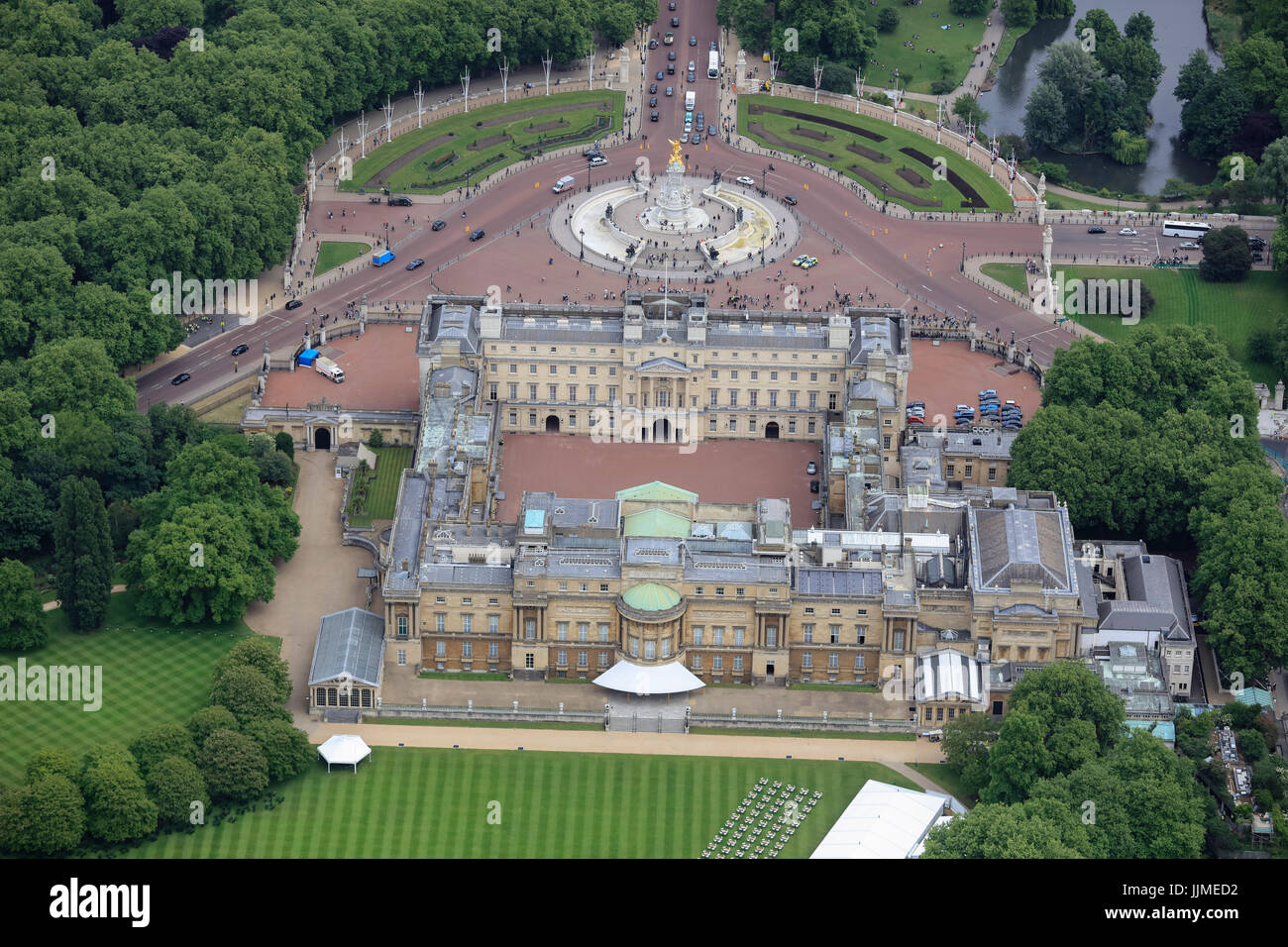 Eine Luftaufnahme von der Rückseite des Buckingham Palace mit dem Albert Memorial und oben auf der Mall sichtbar Stockfotohttps://www.alamy.de/image-license-details/?v=1https://www.alamy.de/stockfoto-eine-luftaufnahme-von-der-ruckseite-des-buckingham-palace-mit-dem-albert-memorial-und-oben-auf-der-mall-sichtbar-149197134.html
RFJJMED2–Eine Luftaufnahme von der Rückseite des Buckingham Palace mit dem Albert Memorial und oben auf der Mall sichtbar
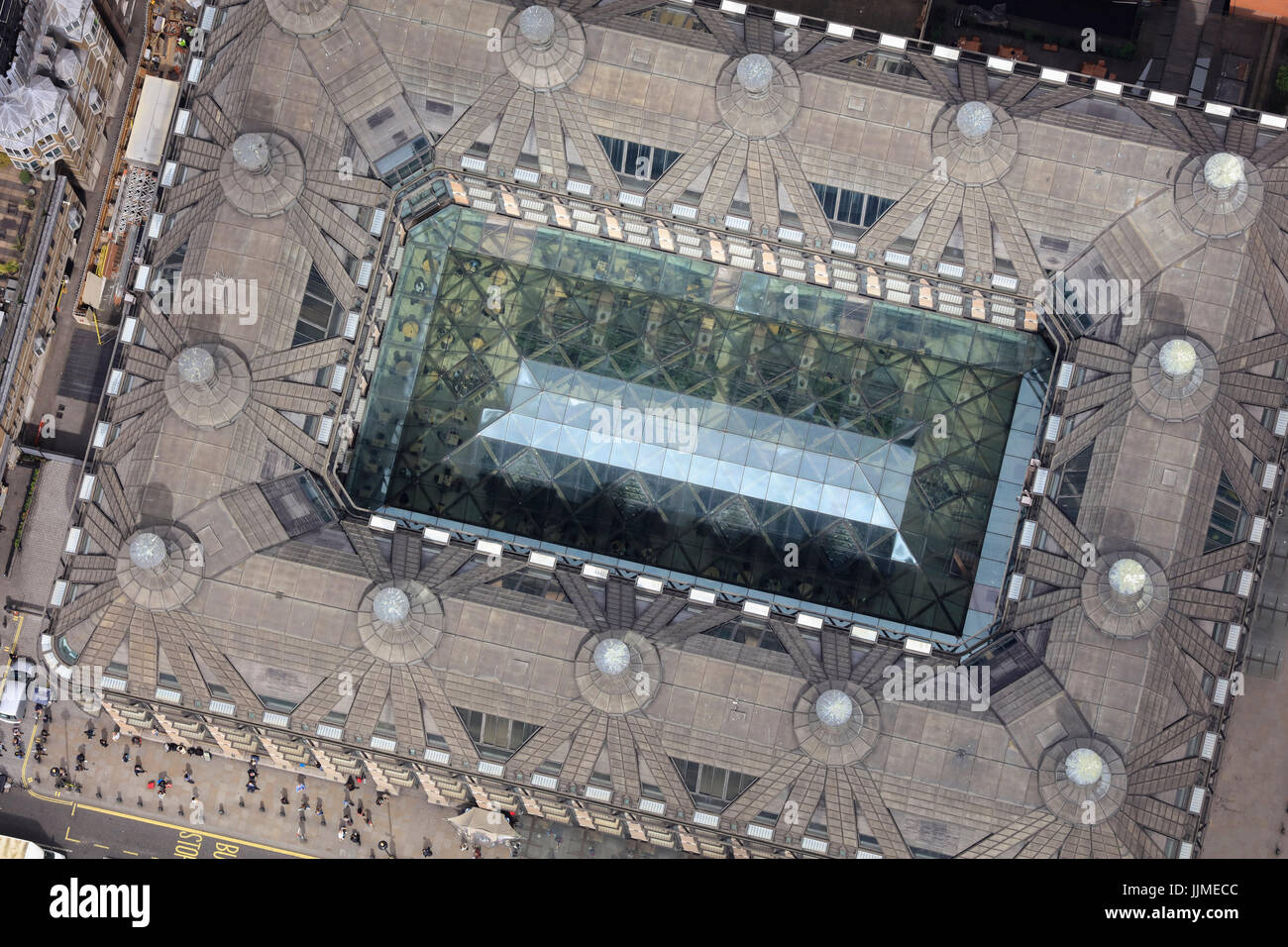 Eine Luftaufnahme zeigt den Blick in den Vorhof des Portcullis House in London Stockfotohttps://www.alamy.de/image-license-details/?v=1https://www.alamy.de/stockfoto-eine-luftaufnahme-zeigt-den-blick-in-den-vorhof-des-portcullis-house-in-london-149197116.html
RMJJMECC–Eine Luftaufnahme zeigt den Blick in den Vorhof des Portcullis House in London
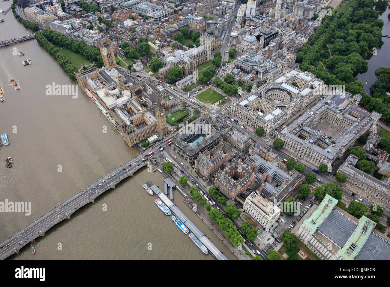 Eine Luftaufnahme des Palace of Westminster und den umliegenden Abteilungen der Regierung Stockfotohttps://www.alamy.de/image-license-details/?v=1https://www.alamy.de/stockfoto-eine-luftaufnahme-des-palace-of-westminster-und-den-umliegenden-abteilungen-der-regierung-149197115.html
RMJJMECB–Eine Luftaufnahme des Palace of Westminster und den umliegenden Abteilungen der Regierung
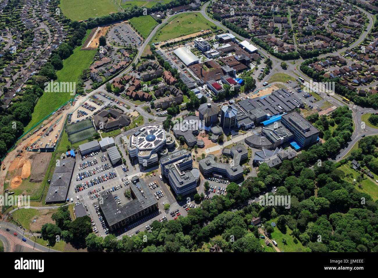 Eine Luftaufnahme der Bournemouth University Talbot Campus Stockfotohttps://www.alamy.de/image-license-details/?v=1https://www.alamy.de/stockfoto-eine-luftaufnahme-der-bournemouth-university-talbot-campus-149197174.html
RFJJMEEE–Eine Luftaufnahme der Bournemouth University Talbot Campus
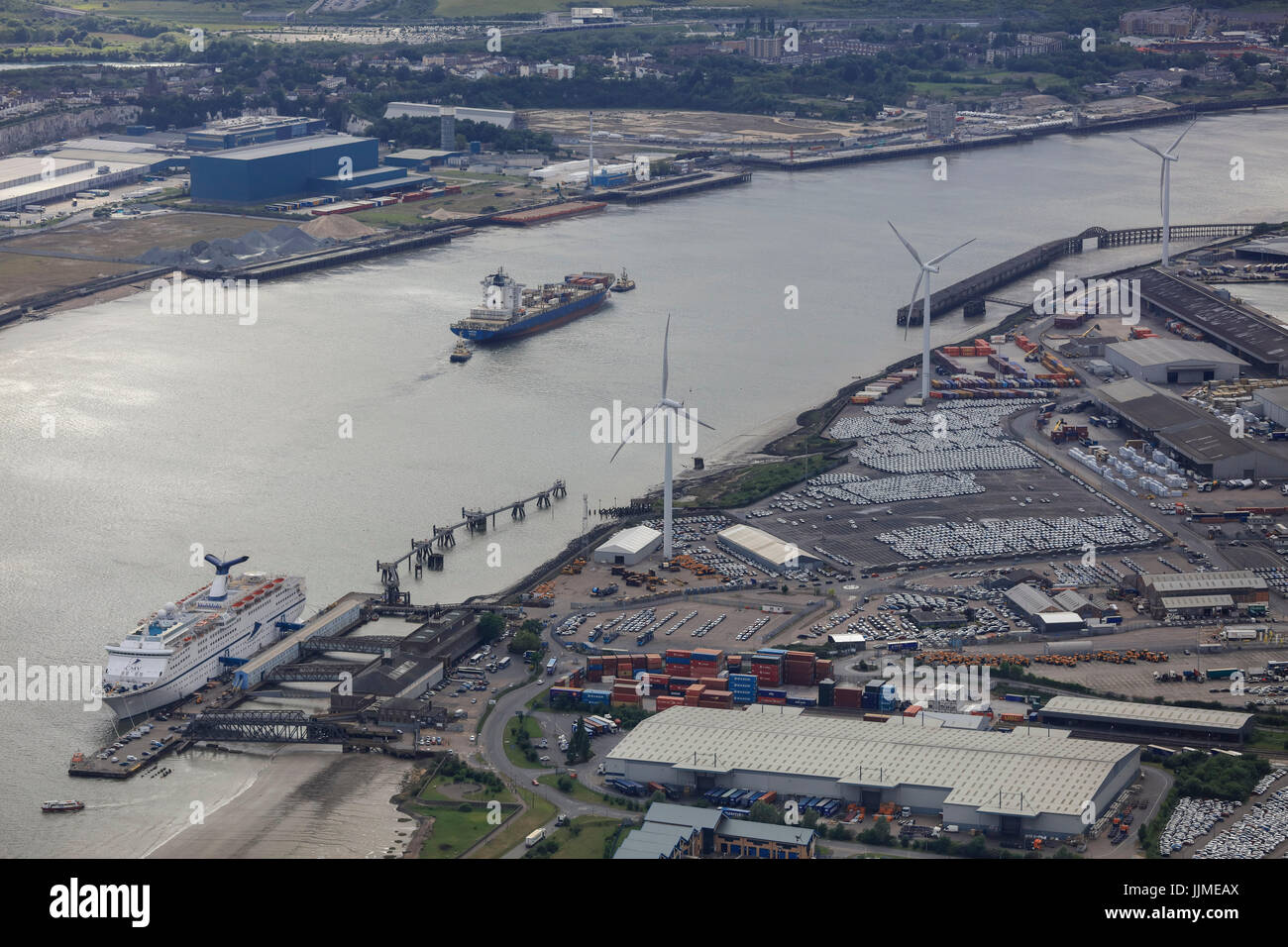 Eine Luftaufnahme des Purfleet Port auf der Themse in Essex Stockfotohttps://www.alamy.de/image-license-details/?v=1https://www.alamy.de/stockfoto-eine-luftaufnahme-des-purfleet-port-auf-der-themse-in-essex-149197074.html
RFJJMEAX–Eine Luftaufnahme des Purfleet Port auf der Themse in Essex
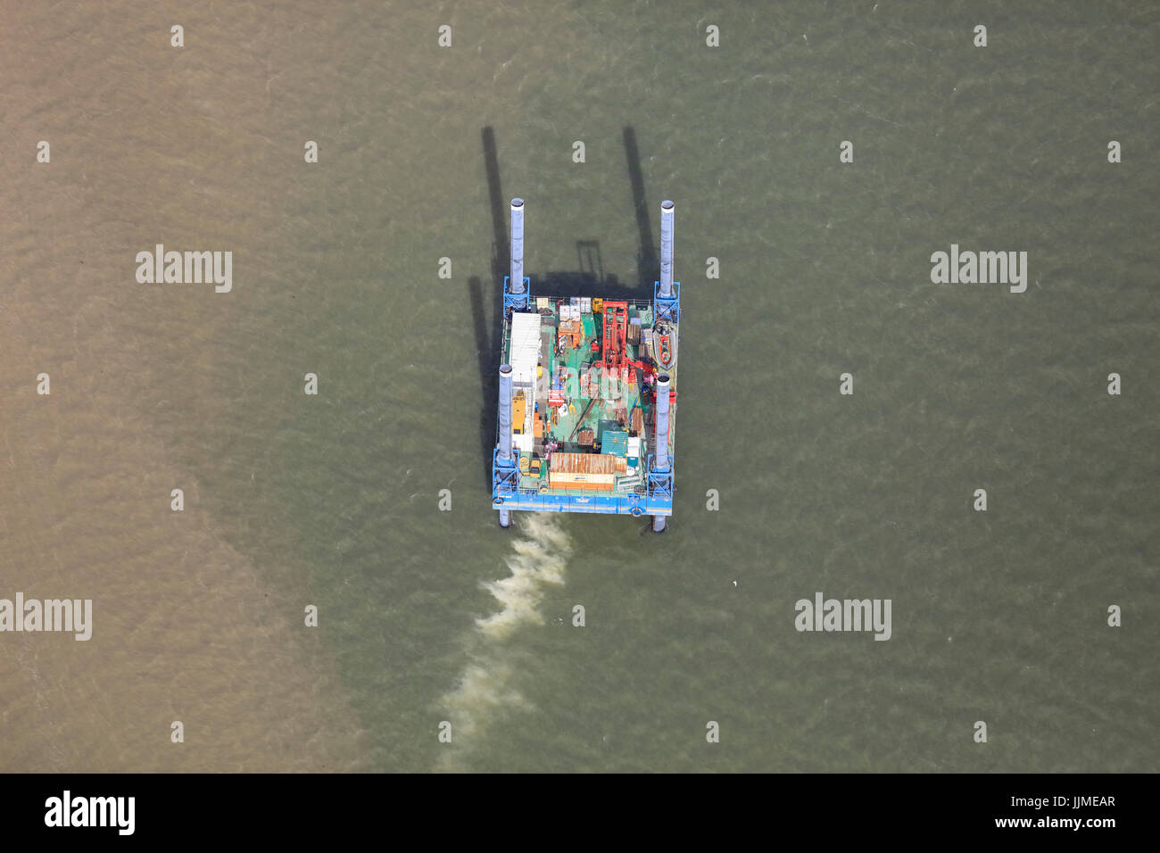 Eine Luftaufnahme des eine Arbeitsplattform im Firth of Forth in der Nähe von Edinburgh Stockfotohttps://www.alamy.de/image-license-details/?v=1https://www.alamy.de/stockfoto-eine-luftaufnahme-des-eine-arbeitsplattform-im-firth-of-forth-in-der-nahe-von-edinburgh-149197071.html
RFJJMEAR–Eine Luftaufnahme des eine Arbeitsplattform im Firth of Forth in der Nähe von Edinburgh
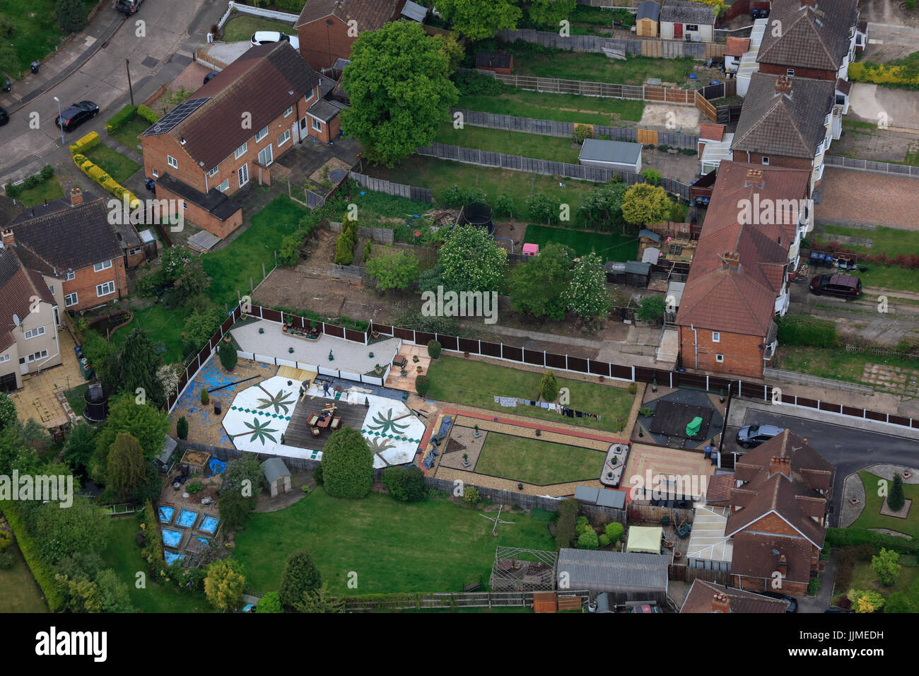 Eine Luftaufnahme des typischen suburban hinteren Garten Stockfotohttps://www.alamy.de/image-license-details/?v=1https://www.alamy.de/stockfoto-eine-luftaufnahme-des-typischen-suburban-hinteren-garten-149197149.html
RFJJMEDH–Eine Luftaufnahme des typischen suburban hinteren Garten
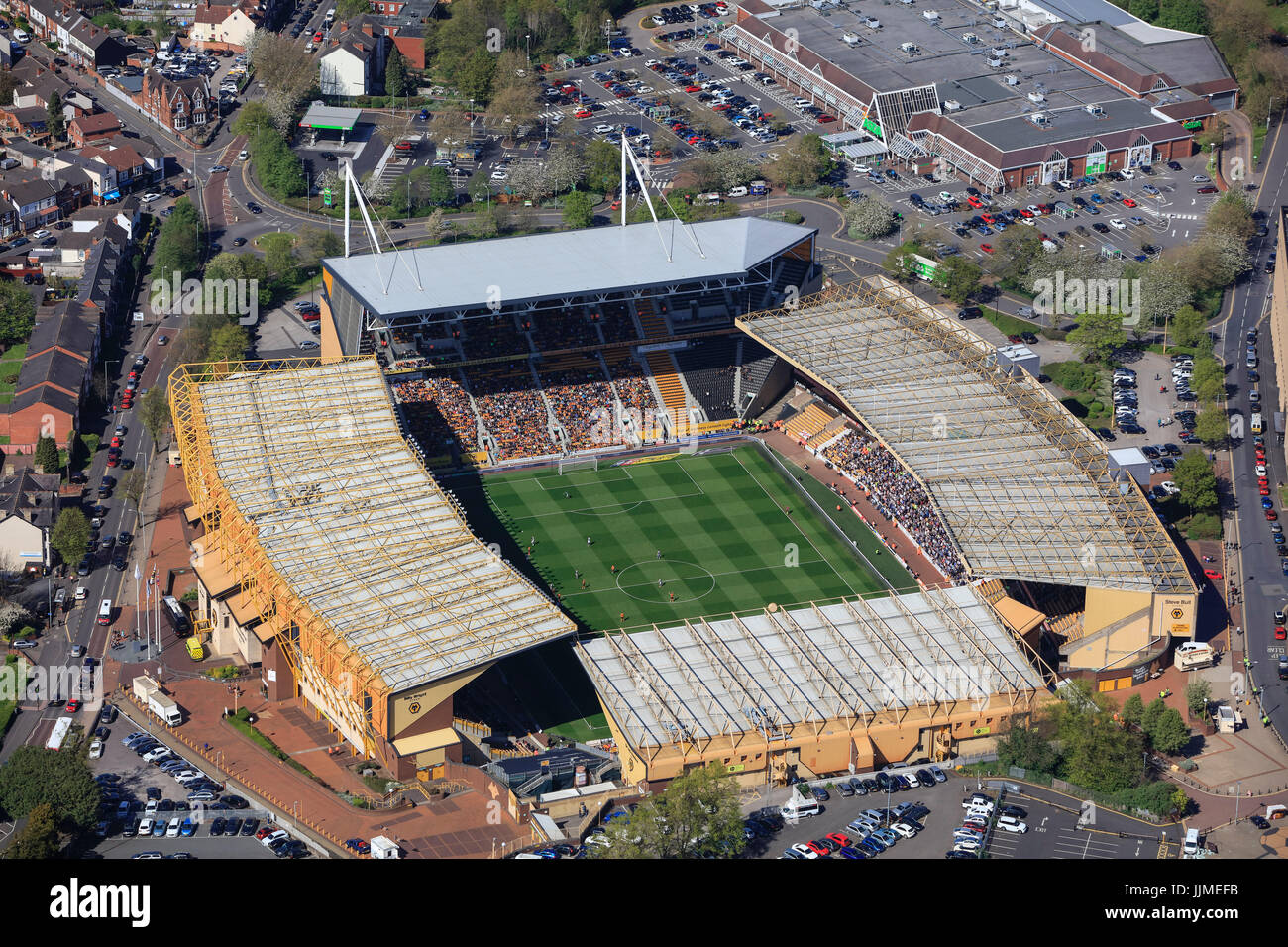 Eine Luftaufnahme des Molineux-Stadion, Heimat des Wolverhampton Wanderers FC Stockfotohttps://www.alamy.de/image-license-details/?v=1https://www.alamy.de/stockfoto-eine-luftaufnahme-des-molineux-stadion-heimat-des-wolverhampton-wanderers-fc-149197199.html
RMJJMEFB–Eine Luftaufnahme des Molineux-Stadion, Heimat des Wolverhampton Wanderers FC
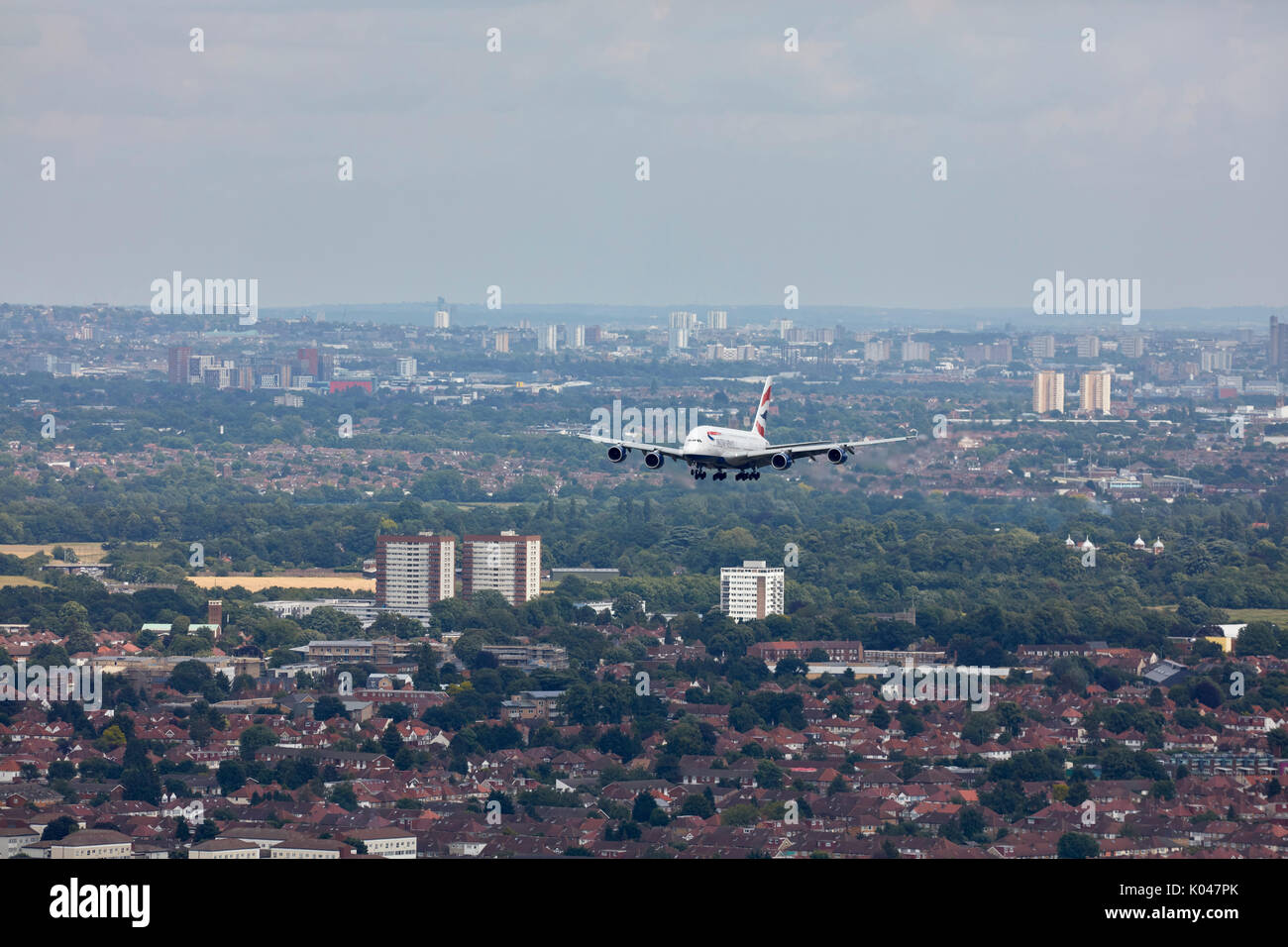 Einen British Airways Airbus A380 im Ansatz zum Flughafen London Heathrow Stockfotohttps://www.alamy.de/image-license-details/?v=1https://www.alamy.de/einen-british-airways-airbus-a380-im-ansatz-zum-flughafen-london-heathrow-image154987243.html
RMK047PK–Einen British Airways Airbus A380 im Ansatz zum Flughafen London Heathrow
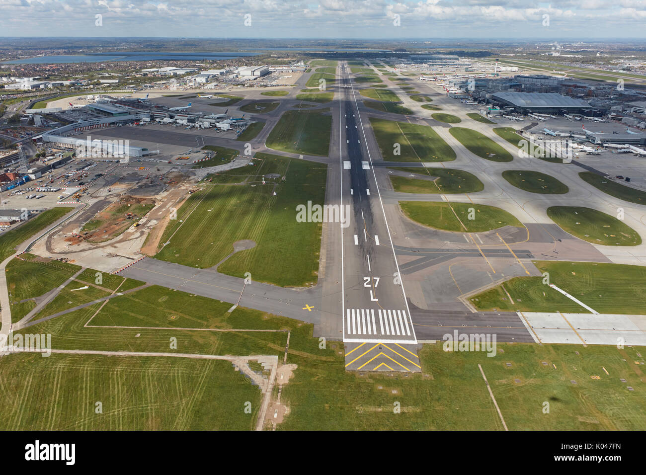 Eine Luftaufnahme des Flughafens Heathrow, der britischen geschäftigsten Stockfotohttps://www.alamy.de/image-license-details/?v=1https://www.alamy.de/eine-luftaufnahme-des-flughafens-heathrow-der-britischen-geschaftigsten-image154987049.html
RMK047FN–Eine Luftaufnahme des Flughafens Heathrow, der britischen geschäftigsten
 Eine Luftaufnahme von Westminster und den Houses of Parliament in London Stockfotohttps://www.alamy.de/image-license-details/?v=1https://www.alamy.de/stockfoto-eine-luftaufnahme-von-westminster-und-den-houses-of-parliament-in-london-104728379.html
RMG2AP37–Eine Luftaufnahme von Westminster und den Houses of Parliament in London
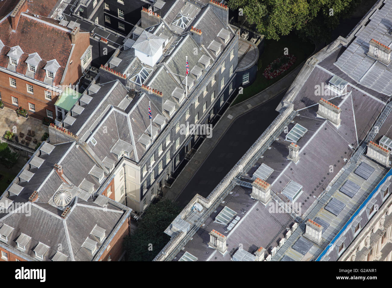 Eine Luftaufnahme der Downing Street in Whitehall, London Stockfotohttps://www.alamy.de/image-license-details/?v=1https://www.alamy.de/stockfoto-eine-luftaufnahme-der-downing-street-in-whitehall-london-104728149.html
RMG2ANR1–Eine Luftaufnahme der Downing Street in Whitehall, London
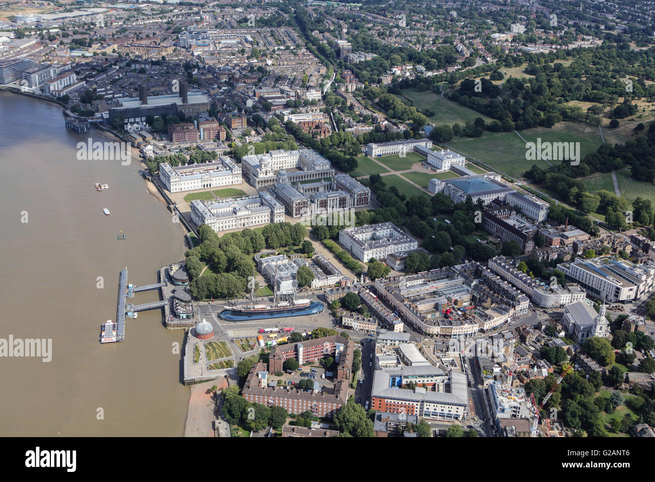 Eine Luftaufnahme des Royal Naval College in Greenwich Stockfotohttps://www.alamy.de/image-license-details/?v=1https://www.alamy.de/stockfoto-eine-luftaufnahme-des-royal-naval-college-in-greenwich-104728182.html
RMG2ANT6–Eine Luftaufnahme des Royal Naval College in Greenwich
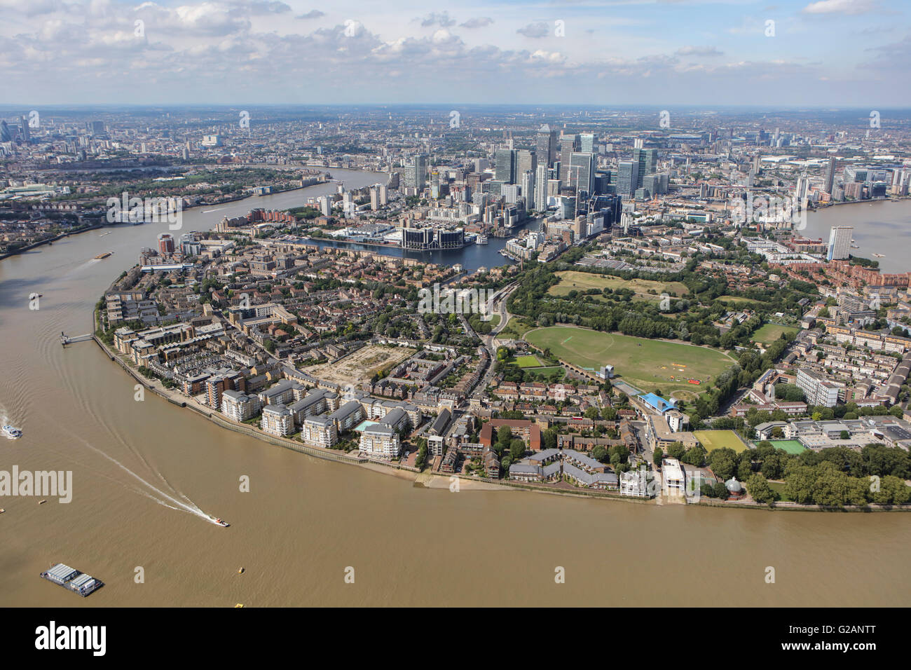 Eine Luftaufnahme von der Isle of Dogs aus dem Süden Stockfotohttps://www.alamy.de/image-license-details/?v=1https://www.alamy.de/stockfoto-eine-luftaufnahme-von-der-isle-of-dogs-aus-dem-suden-104728200.html
RMG2ANTT–Eine Luftaufnahme von der Isle of Dogs aus dem Süden
 Ein Detail-Luftbild des oberen Teils der Shard Stockfotohttps://www.alamy.de/image-license-details/?v=1https://www.alamy.de/stockfoto-ein-detail-luftbild-des-oberen-teils-der-shard-104728321.html
RMG2AP15–Ein Detail-Luftbild des oberen Teils der Shard
 Eine Luftaufnahme von der Bank of England Stockfotohttps://www.alamy.de/image-license-details/?v=1https://www.alamy.de/stockfoto-eine-luftaufnahme-von-der-bank-of-england-104728133.html
RMG2ANPD–Eine Luftaufnahme von der Bank of England
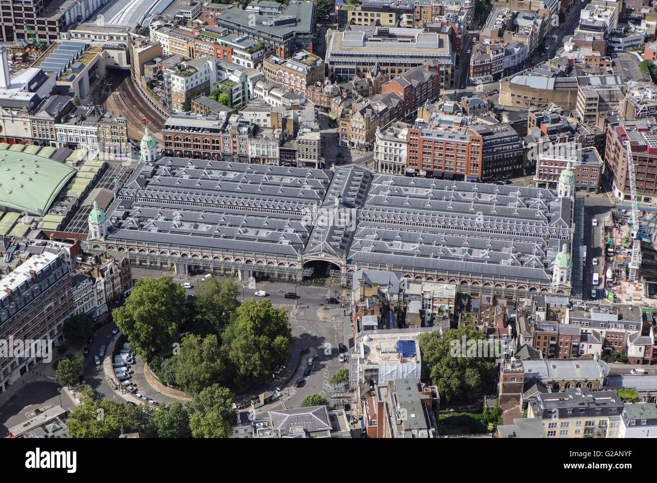 Eine Luftaufnahme der Smithfield Market und Umgebung, London Stockfotohttps://www.alamy.de/image-license-details/?v=1https://www.alamy.de/stockfoto-eine-luftaufnahme-der-smithfield-market-und-umgebung-london-104728275.html
RMG2ANYF–Eine Luftaufnahme der Smithfield Market und Umgebung, London
 Eine Luftaufnahme von Mermaid Quay, einem Einkaufs- und Freizeitzentrum Bezirk in Cardiff Bay Stockfotohttps://www.alamy.de/image-license-details/?v=1https://www.alamy.de/stockfoto-eine-luftaufnahme-von-mermaid-quay-einem-einkaufs-und-freizeitzentrum-bezirk-in-cardiff-bay-104606596.html
RMG256NT–Eine Luftaufnahme von Mermaid Quay, einem Einkaufs- und Freizeitzentrum Bezirk in Cardiff Bay
 Eine Luftaufnahme des das Wales Millennium Centre in Cardiff Bay Stockfotohttps://www.alamy.de/image-license-details/?v=1https://www.alamy.de/stockfoto-eine-luftaufnahme-des-das-wales-millennium-centre-in-cardiff-bay-104606600.html
RMG256P0–Eine Luftaufnahme des das Wales Millennium Centre in Cardiff Bay
 Eine Luftaufnahme des Sowton Industrial Estate in Exeter, Devon Stockfotohttps://www.alamy.de/image-license-details/?v=1https://www.alamy.de/stockfoto-eine-luftaufnahme-des-sowton-industrial-estate-in-exeter-devon-104728065.html
RMG2ANM1–Eine Luftaufnahme des Sowton Industrial Estate in Exeter, Devon
 Eine Luftaufnahme von der Bahnhof und die unmittelbare Umgebung in Grantham, Lincolnshire Stockfotohttps://www.alamy.de/image-license-details/?v=1https://www.alamy.de/stockfoto-eine-luftaufnahme-von-der-bahnhof-und-die-unmittelbare-umgebung-in-grantham-lincolnshire-104727934.html
RMG2ANFA–Eine Luftaufnahme von der Bahnhof und die unmittelbare Umgebung in Grantham, Lincolnshire
 Eine Luftaufnahme des Dorfes Mylor Brücke, in der Nähe von Falmouth Cornwall Stockfotohttps://www.alamy.de/image-license-details/?v=1https://www.alamy.de/stockfoto-eine-luftaufnahme-des-dorfes-mylor-brucke-in-der-nahe-von-falmouth-cornwall-105551217.html
RMG3M7J9–Eine Luftaufnahme des Dorfes Mylor Brücke, in der Nähe von Falmouth Cornwall
